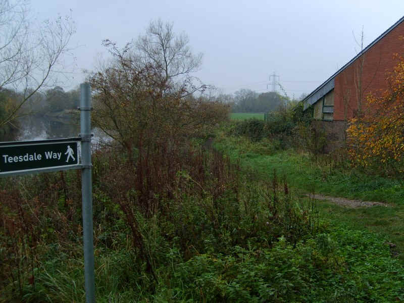
Teesdale Way
Eaglescliffe to Croft on Tees (16 miles 25 km)
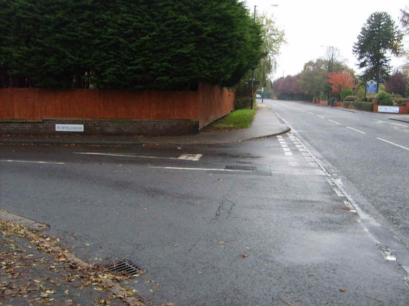
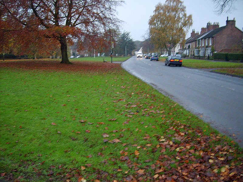
The third section of this walk starts at Eaglescliffe with a short section along the main road towards Yarm.
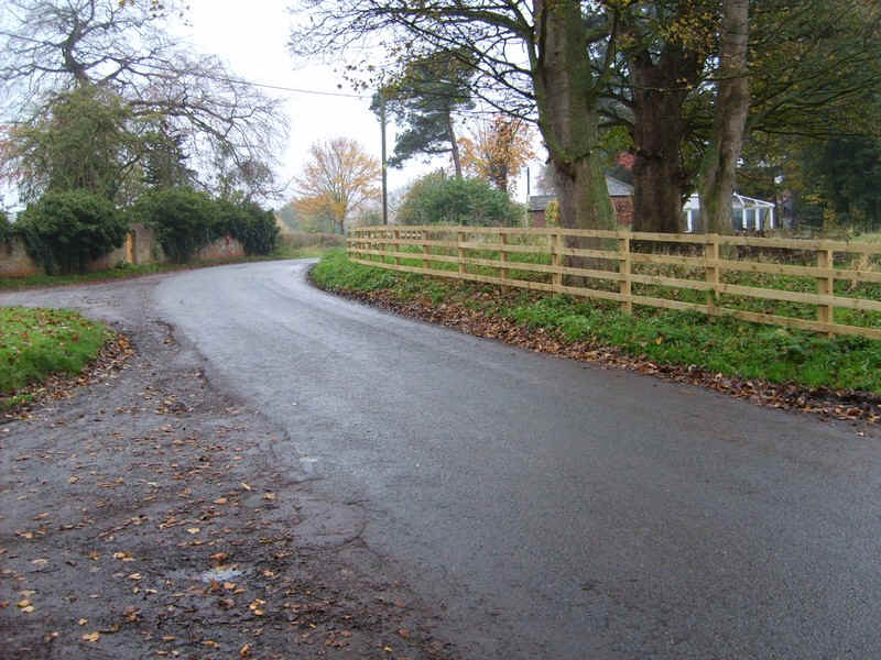
Leaving the main road it goes down one of the side roads....
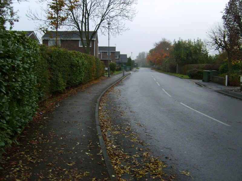
......and through the housing estates..
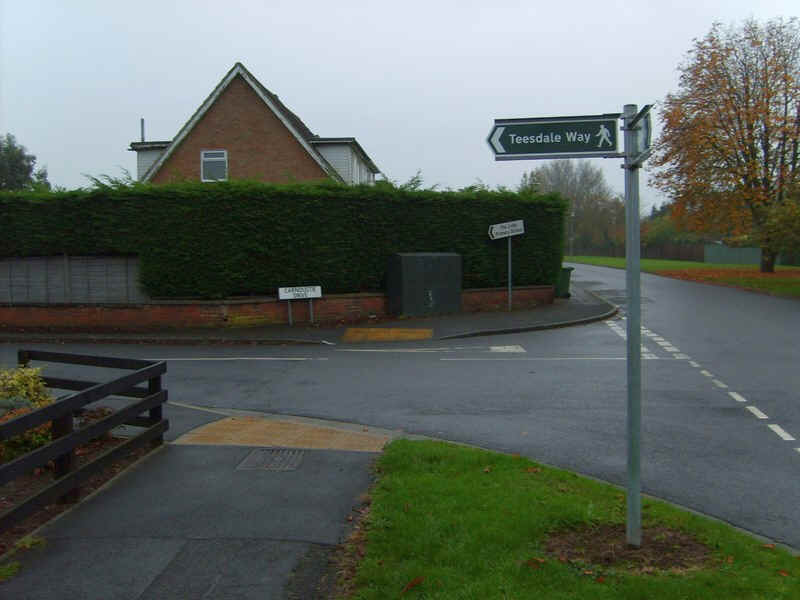
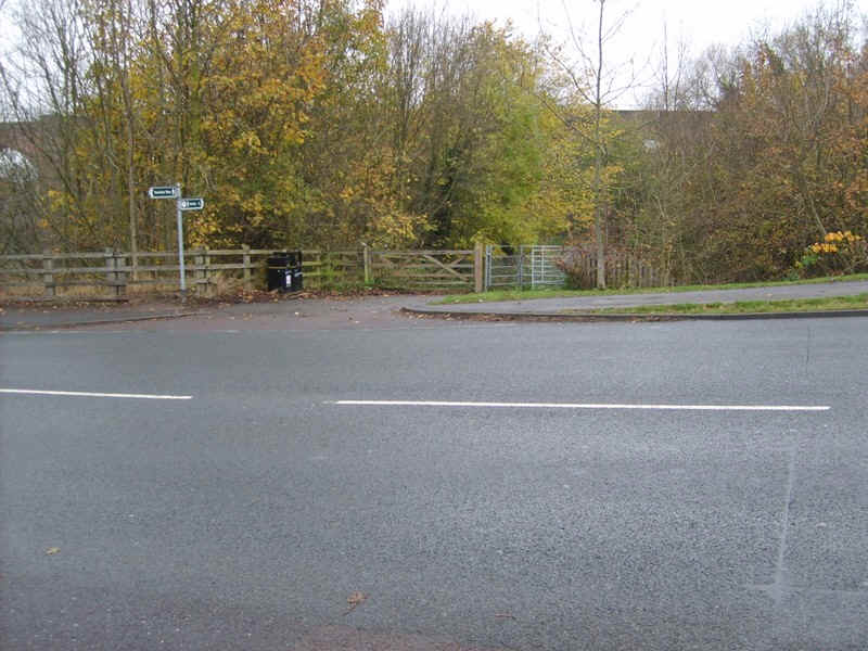
....to a reassuring signpost...
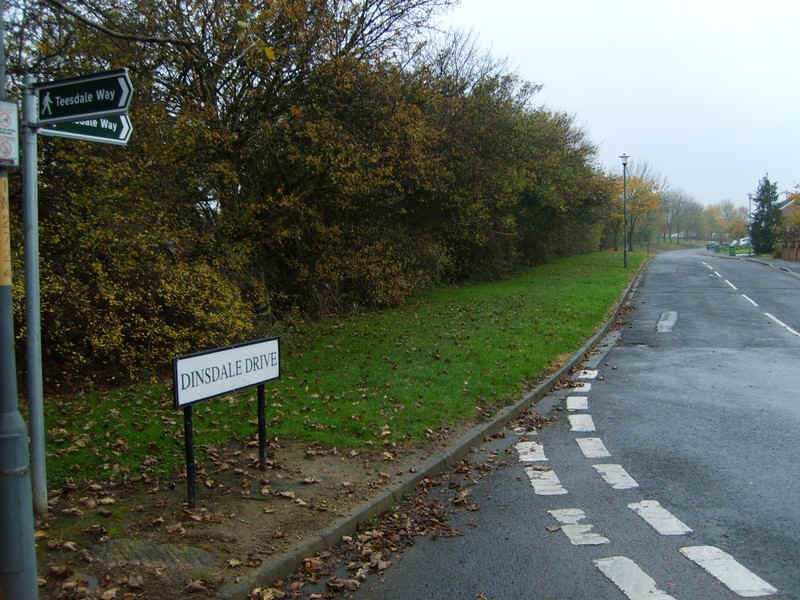
....and another.
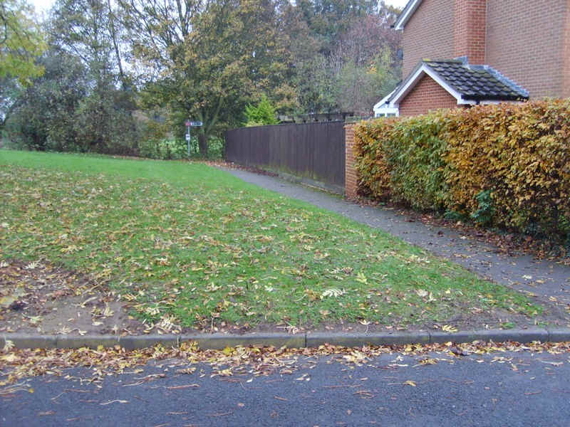
Unfortunately it's easy to miss this turning as there is no sign at a crucial point - and yes, I missed it.
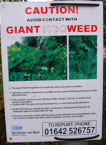
Immediately, you are greeted with this disconcerting sign - beware of the Giant Hogweed.
This vile plant can cause serious skin problems if the sap gets onto skin. At almost every access point on this day's walk the walker is confronted with these notices. In autumn it's not too much of a problem to avoid the plants but in summer I suspect it might be different.
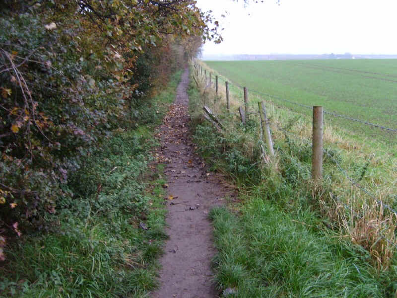
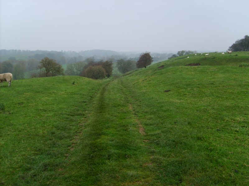
Anyway it's now down this path to..
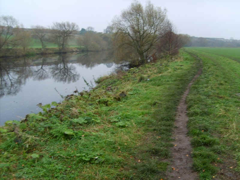
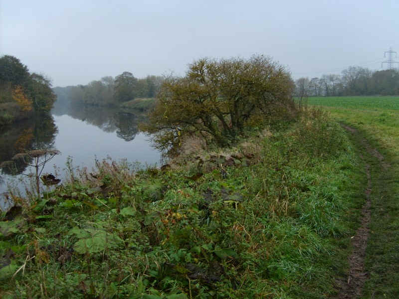
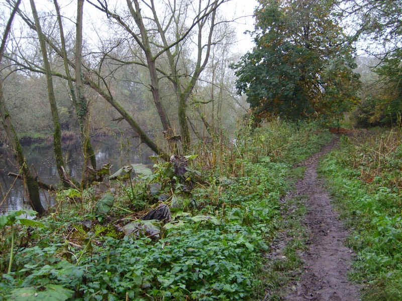
...reach the river again.
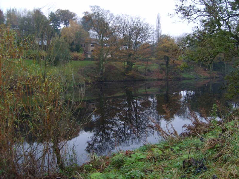
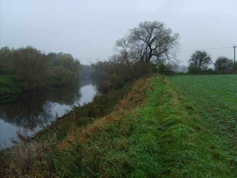
Conditions were very still and I was treated to some very sharp reflections throughout much of the day's walk.
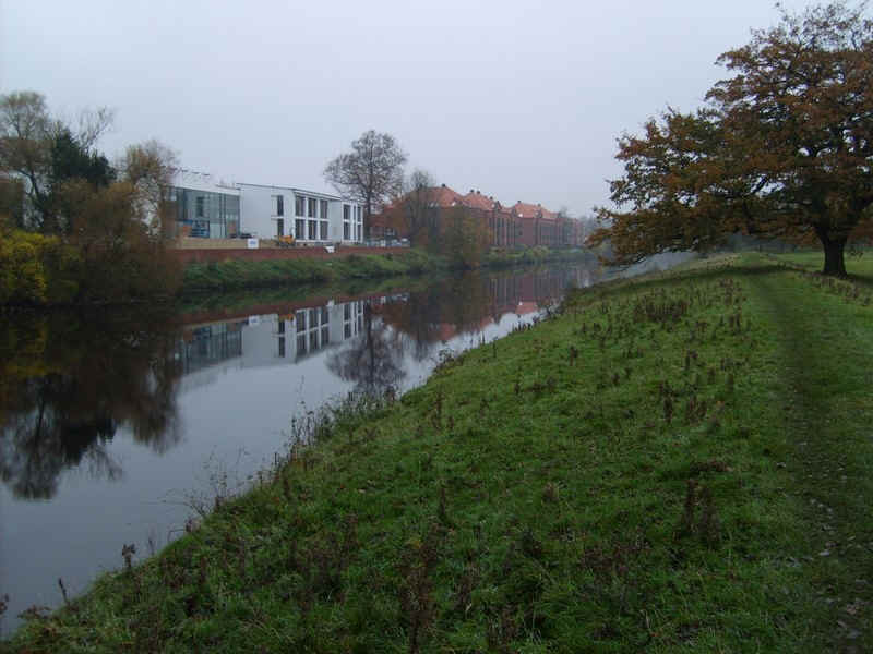
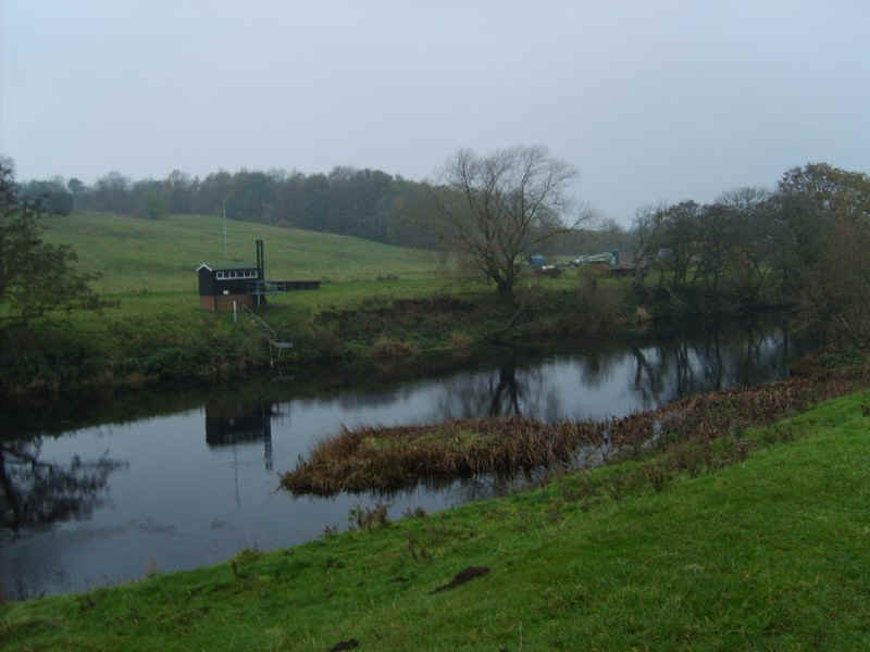
Approaching Yarm, on the far bank, there is evidence of recent development.
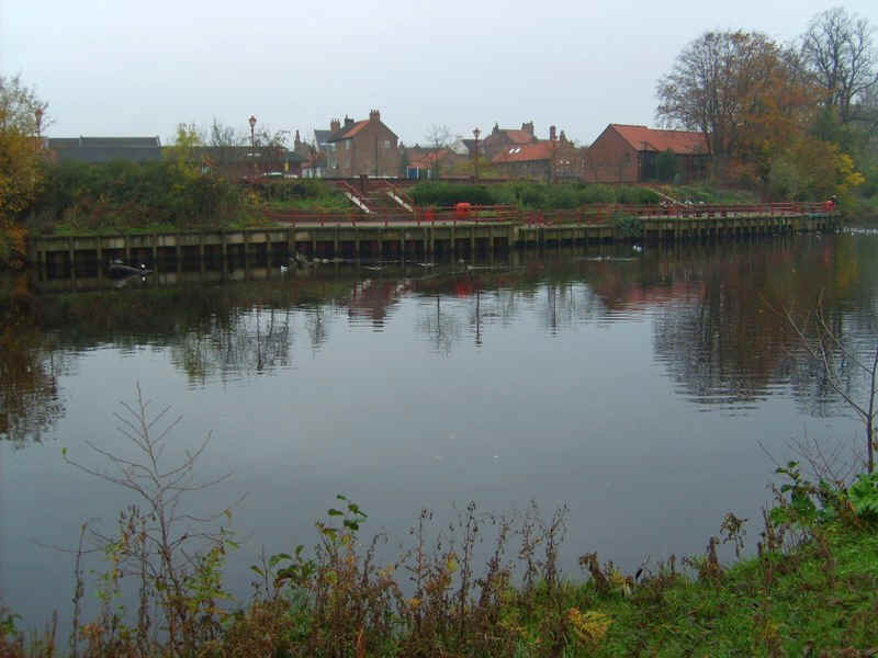
...whilst there is also a quay for summer pleasure boats.
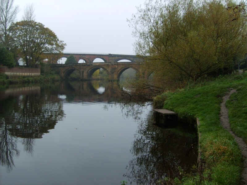
The two bridges over the river at Yarm are the main road and the railway viaduct.
Once across the road the Teesdale Way is a tarmac path for a few hundred metres...
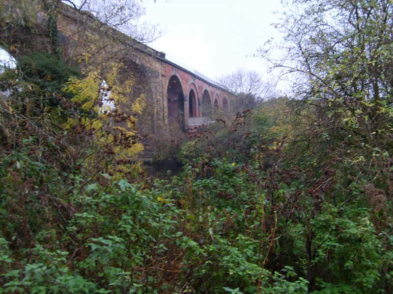
....passing under the viaduct, which shows obvious signs of it having to be strengthened because of subsidence.
The river bank walk restarts shortly beyond the viaduct..
......as the Tees loops round to the west of Yarm.
An easily missed and un-signposted bridge takes the path over a stream..
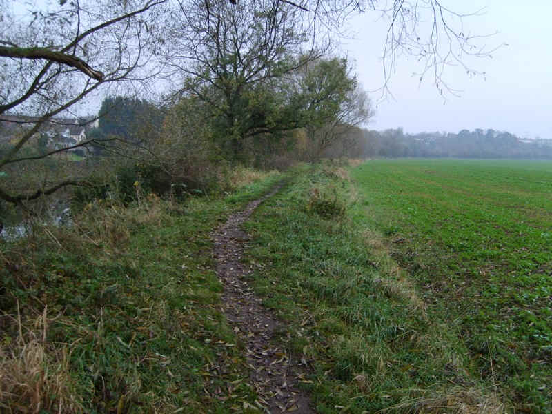
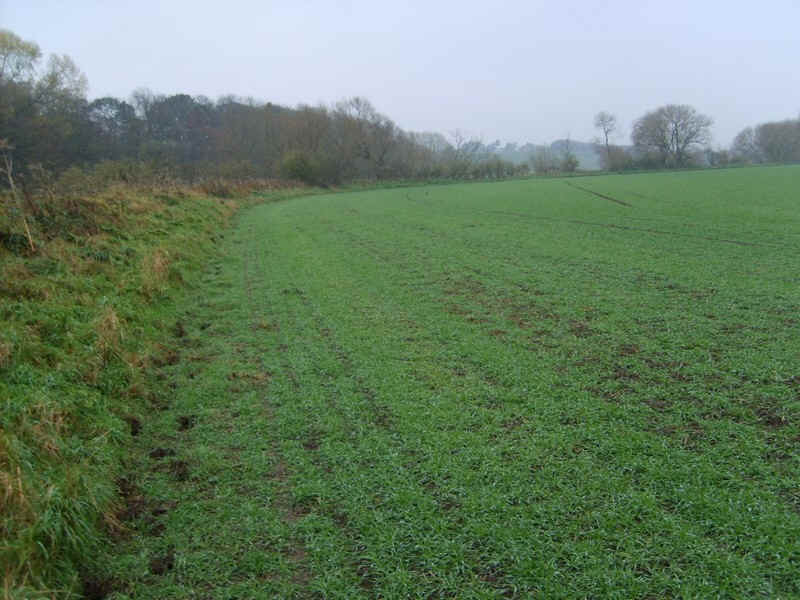
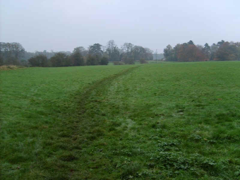
...before continuing by fields.
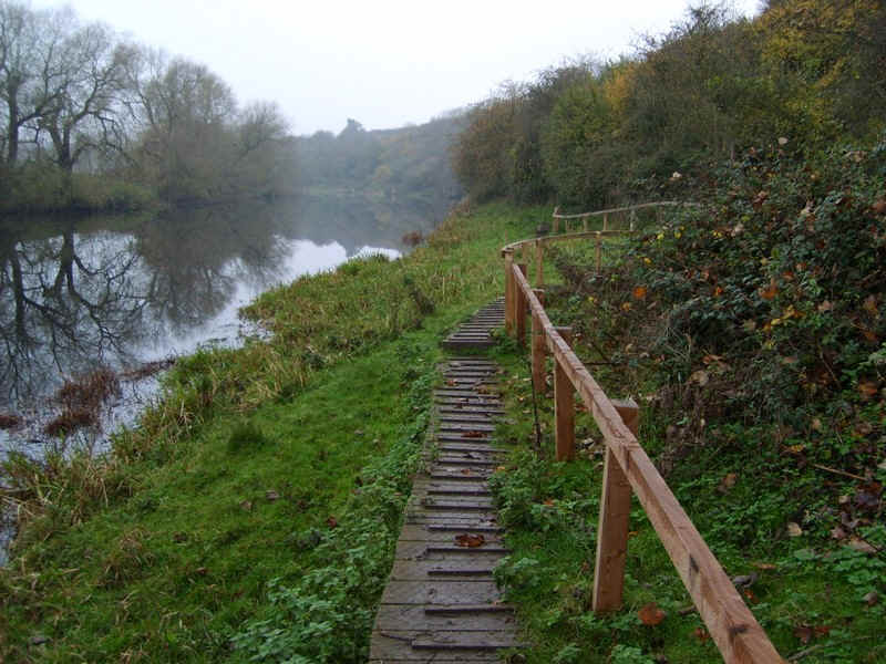
This section is very difficult and slow because of the long stretches of board walks...
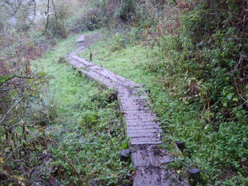
...which in wet conditions are very slippy and in places the path is subject to erosion. It was at this stage of the walk that I found myself falling behind on my estimated times.
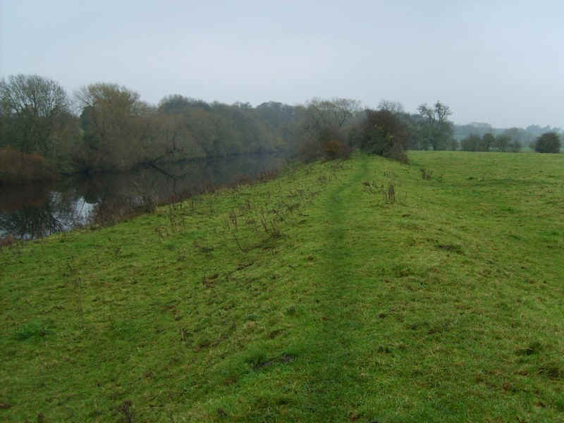
Eventually, a better section along the top of the river dykes is reached and progress can be faster.
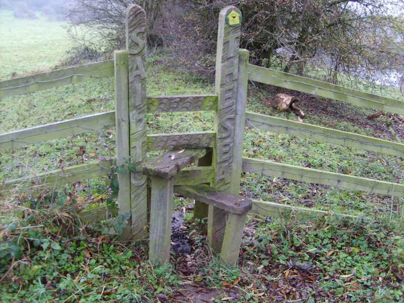
A feature on this section are the carved inscriptions of the styles - "Sail to the Sea" is this one - presumably from Yarm?
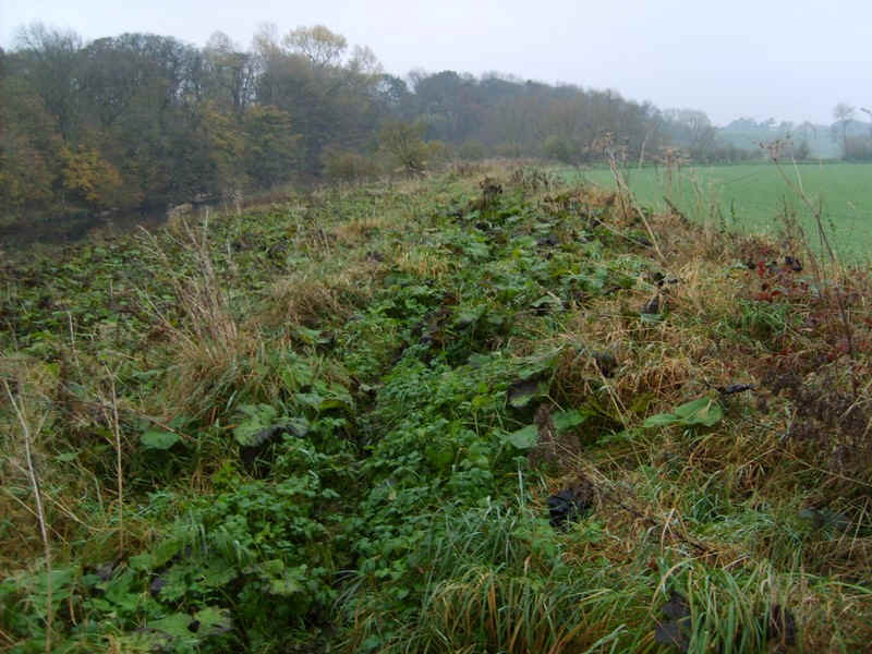
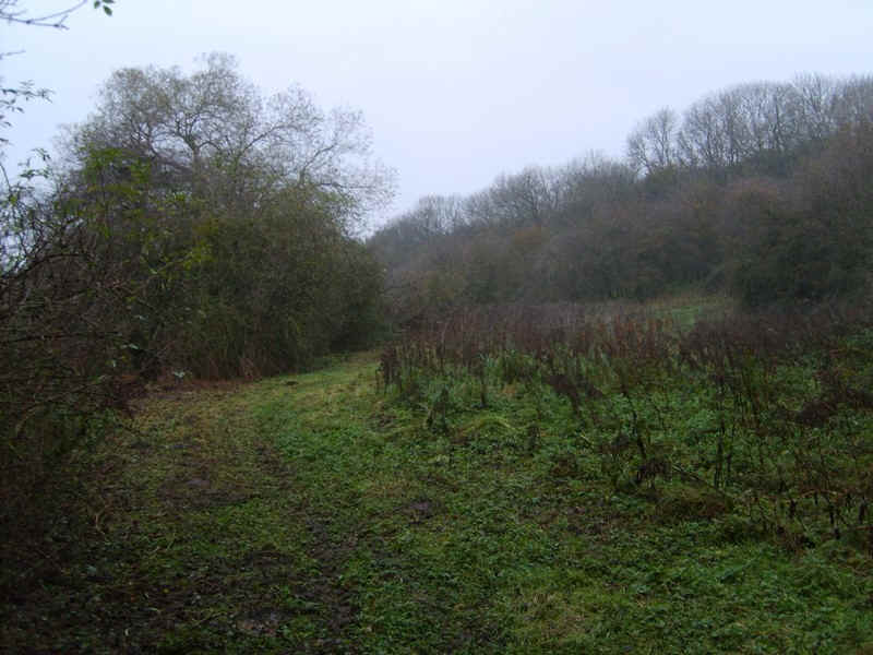
Oh dear! Now I'm not certain whether this lot included some Giant Hogweed but I wasn't going to find out so.....
.....it was down the bank and onto the field for the next kilometre or so.
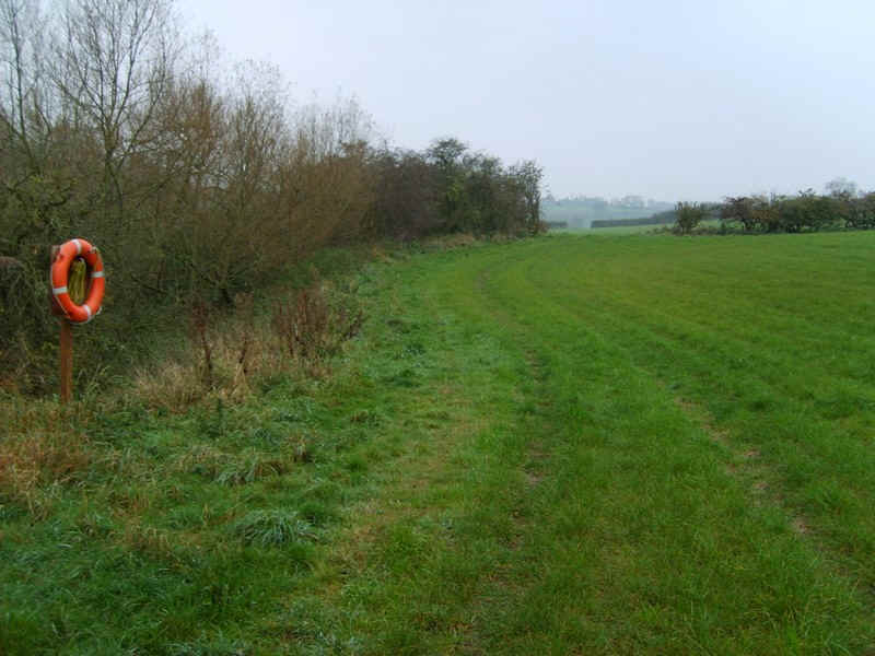
This section of the river is obviously popular with anglers but whether the lifebelts would be much use with all the trees in the way is another matter.
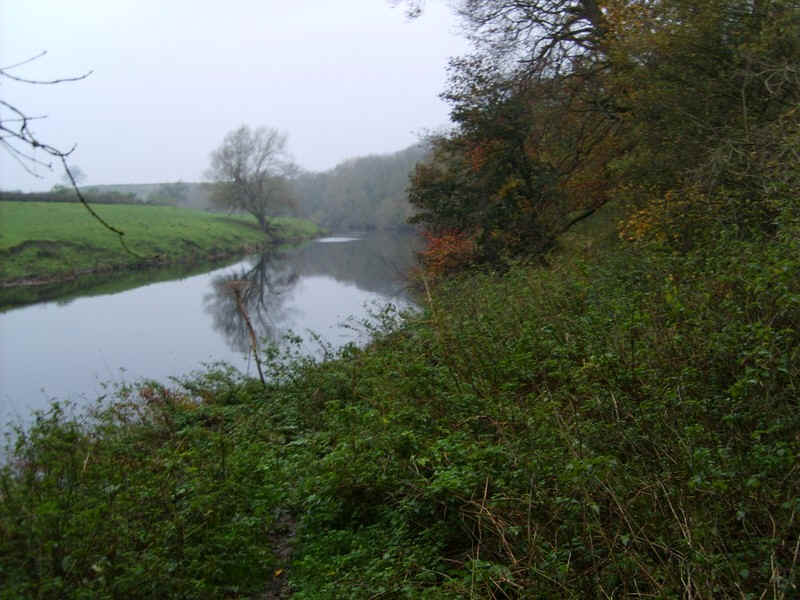
The track continues along the water's edge....
.....and then moves slightly away to go through shrubs.
Just before one of the Tees's great meanders near Newsham the Teesdale Way leaves the river...
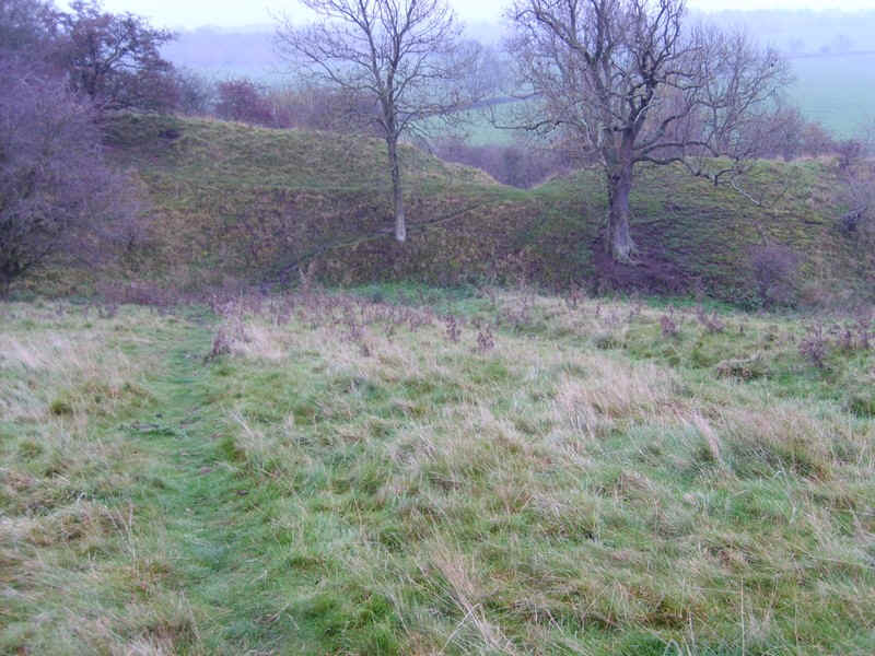
....and climbs through the remains of a medieval village site to reach a country lane.
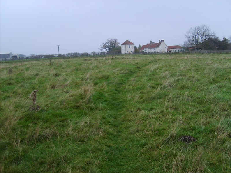
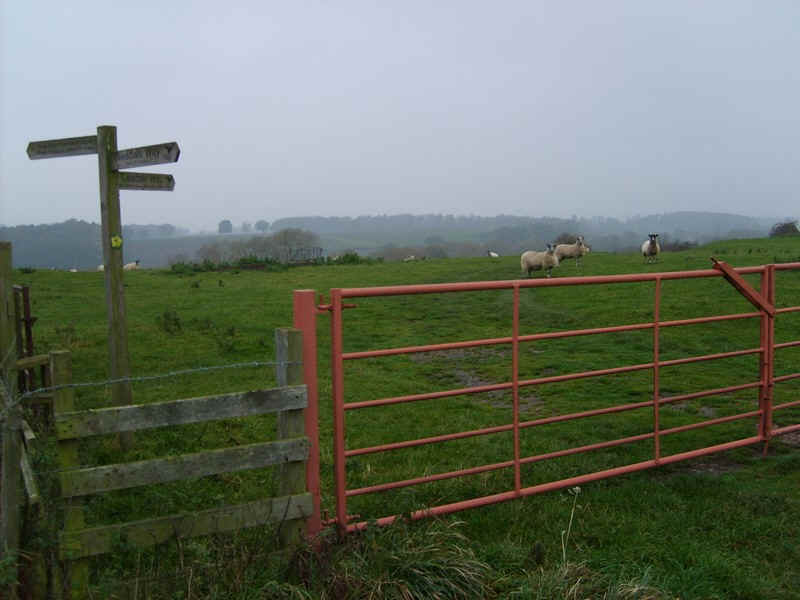
There were several paths and I took the one towards Newsham Hall..
....before turning along the road.
A little further on the actual Teesdale Way joins at this stile.
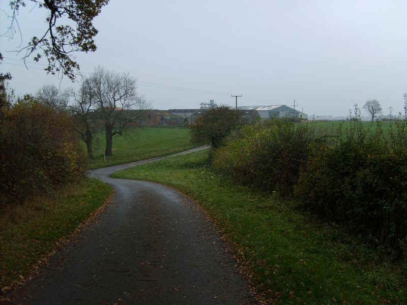
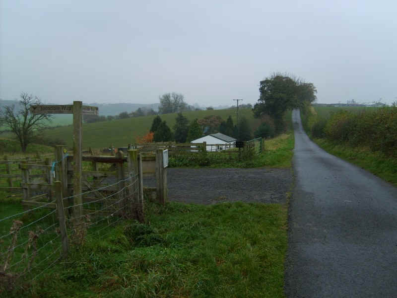
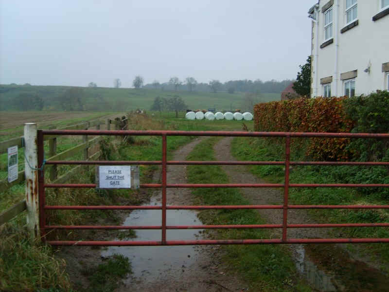
Continuing along the lane to Newham Grange farm...
.....the signposts make it clear where to go.
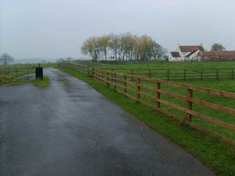
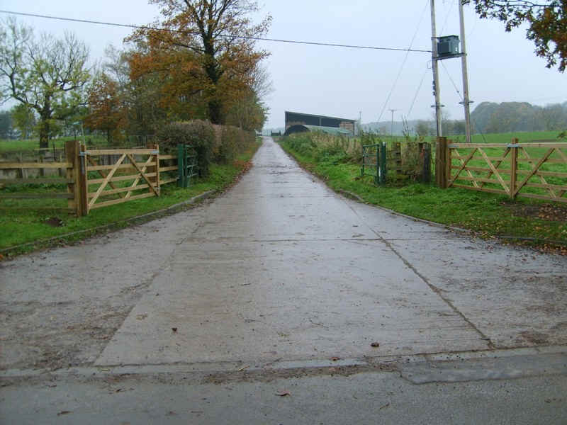
There's now a good fast section of walking along farm lanes...
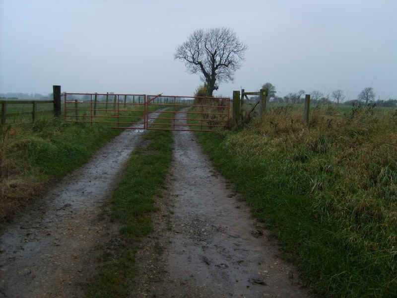
....to a gate...
....and across fields...
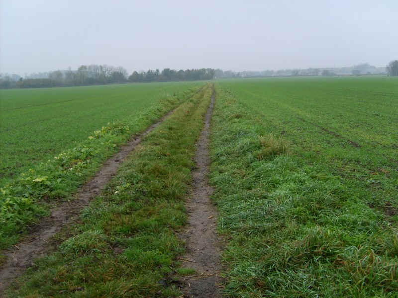
....all taken as quickly as possible as I was nearly an hour later than expected at this stage.
At Low Middleton farm the TW goes back down to the river...
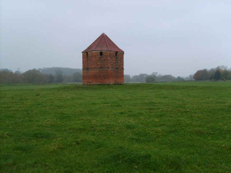
.....passing this unusual pigeon house.
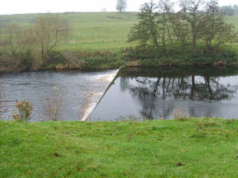
There's a weir here so, presumably, that's the end of the navigable section of the Tees.
Walking along the dyke this curious structure carries ......
.....electricity and telephone cables across the river.
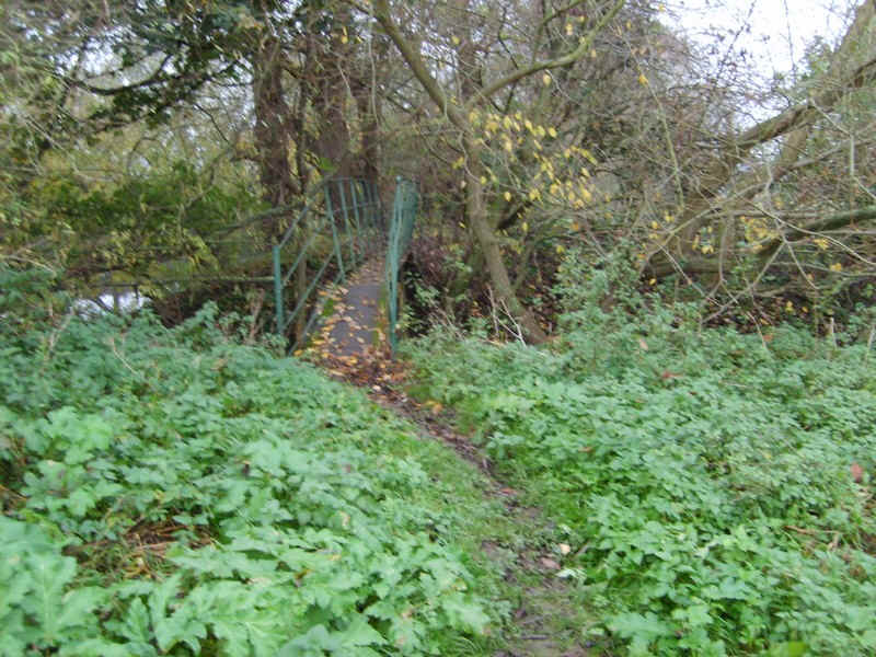
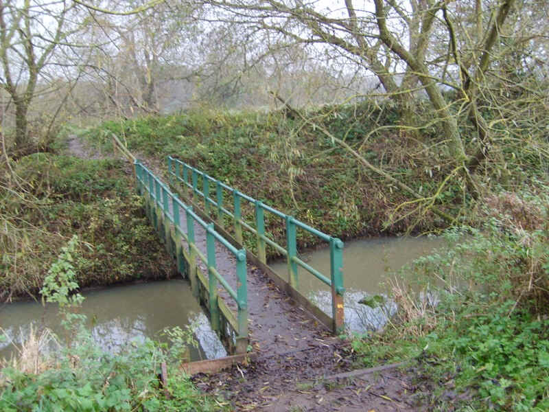
Continuing along the dyke the path comes to a strange little humped-back metal footbridge.
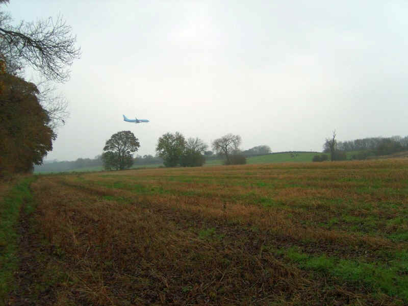
This section of the walk is close to the Durham Tees Valley airport and, just as I was walking past the end of the runway, in came a plane.
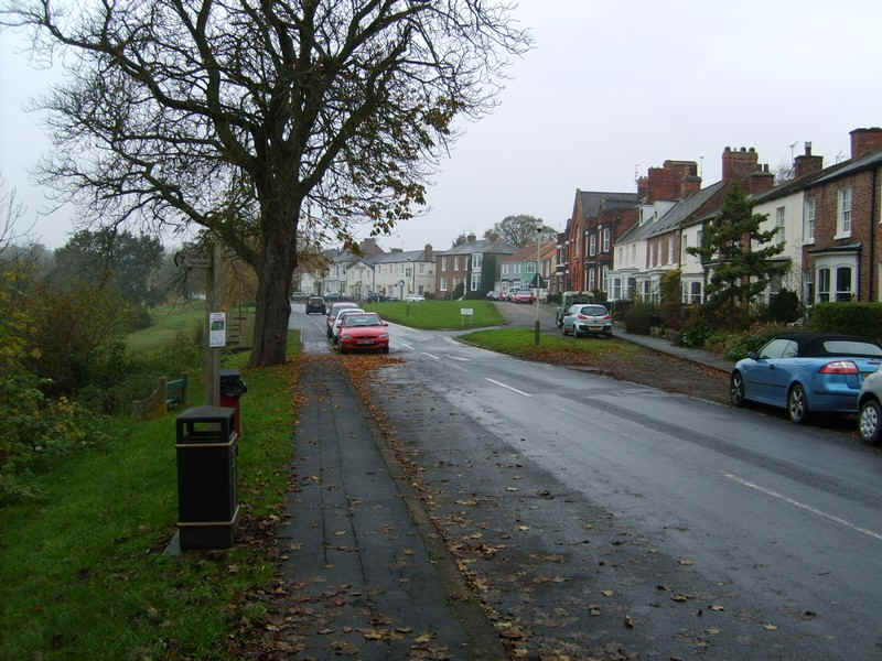
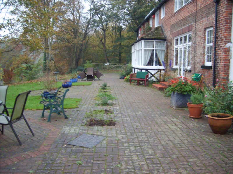
On the approach to the village of Middleton One Row the path goes literally through some back gardens!!
More giant Hogweed warnings on signposts at Middleton One Row.
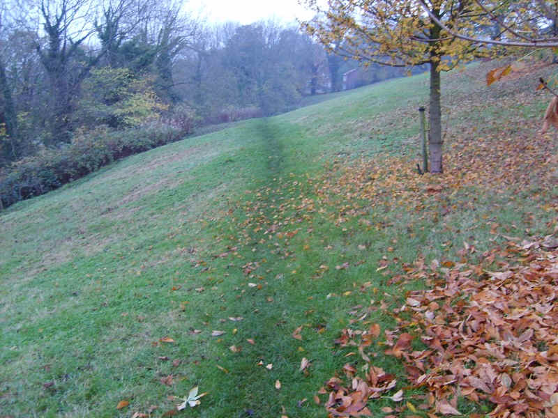
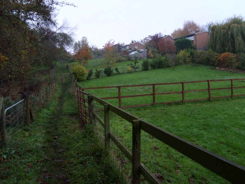
The TW now drops down to the river again over the village green and slopes....
.......with more muddy paths.
Leaving the river at another meander the path goes through the grounds of Dinsdale Park..
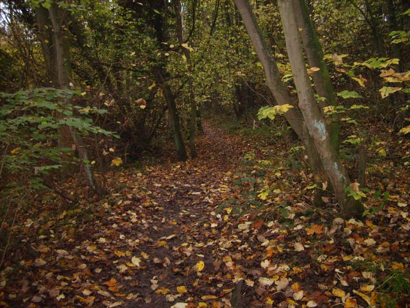
.....before entering woodland....
.....and crossing fields to the hamlet of Low Dunsdale..
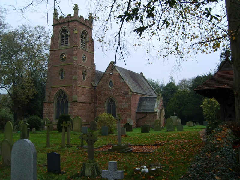
....with its small church.
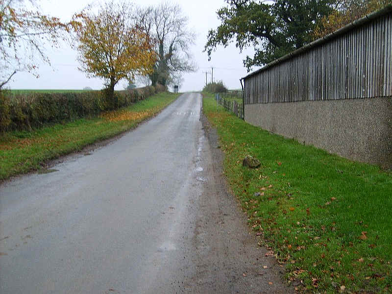
The TW continues along the road for a short distance..
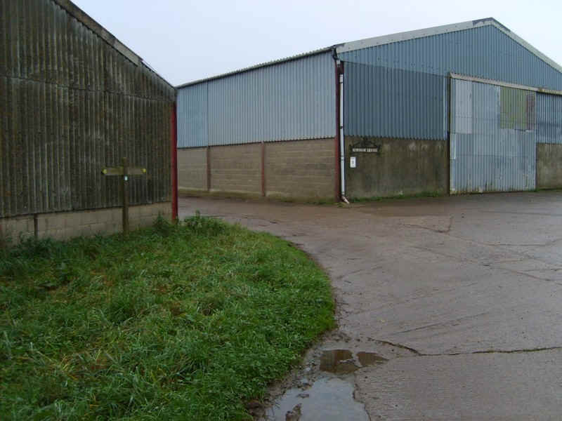
.....passing various farms that seem to be largely concerned with battery hen chicken production by the smell!!
As I was still later than expected I decided that, rather than following the field paths to Neasham, I would continue on the virtually deserted lane and save some time.
So it was off past the chicken sheds...
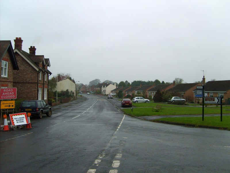
.....to Neasham, where I discovered that the road to Hurworth was closed because of flood defence work.
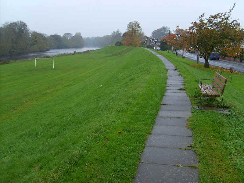
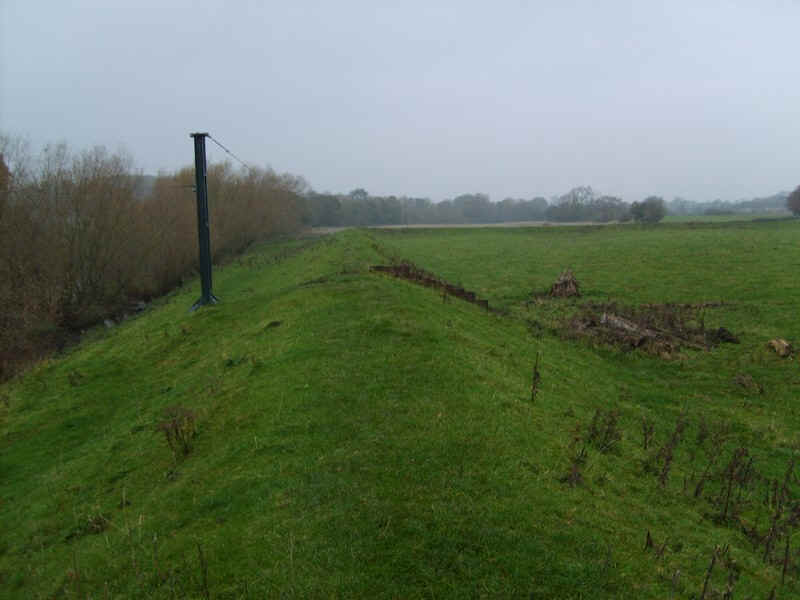
The village is protected by an enormous dyke along which is a path.
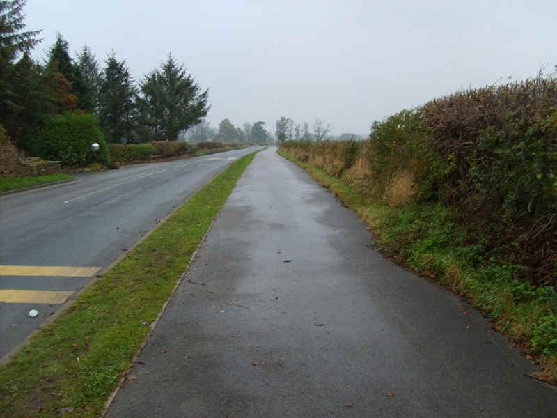
Having negotiated the construction works it was simply a matter of following the deserted road towards...
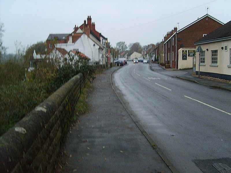
.....Hurworth on Tees.
It has a broad green but as can be seen lighting conditions were poor so I took no more photographs. I walked along the pavements to reach the main road at Hurworth Place just across the River Tees from Croft on Tees. The walk a had taken just under six hours.
Click here to go to the next stage of the walk.