Teesdale Way
Day 4 - Piercebridge to Barnard Castle (12 miles 19km)
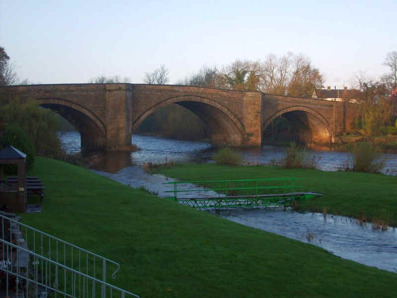
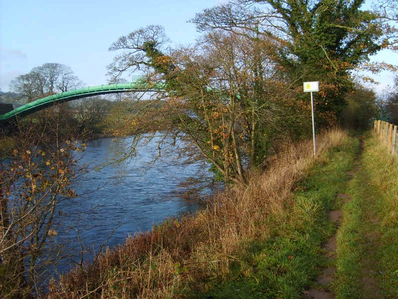
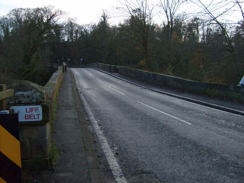
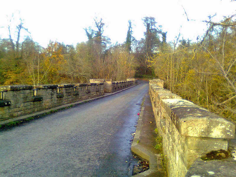
The bridge over the Tees at Piercebridge seen from the hotel garden.
 |
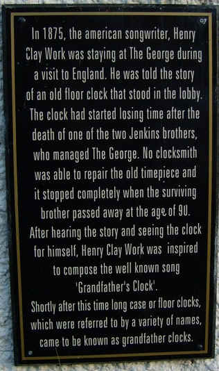 |
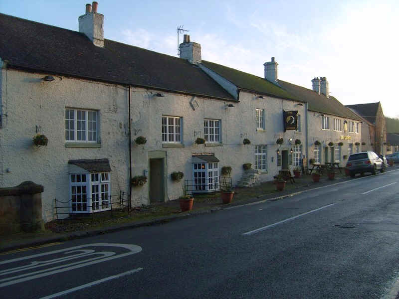
The George Hotel and a plaque about a well known song.
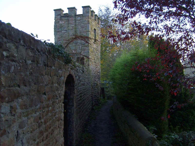
Piercebridge is the site of a Roman camp but this tower is a modern imitation but in the position of the tower in the.....
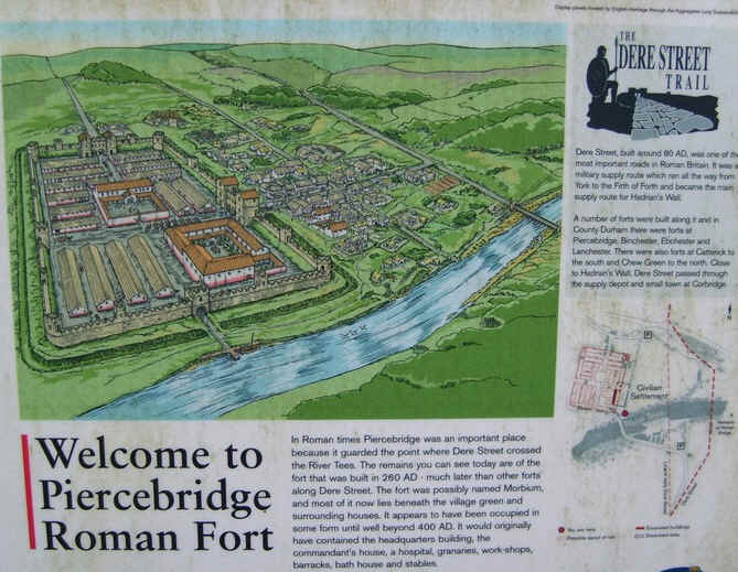
.......bottom left hand corner of this inofrmtaion panel.
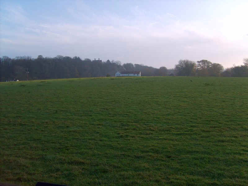
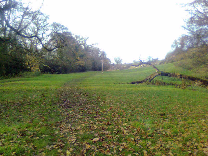
This field was where the civilian settlement was in Roman days.
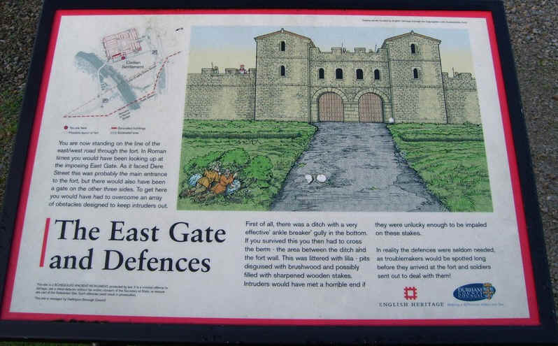
The imposing gatehouse.
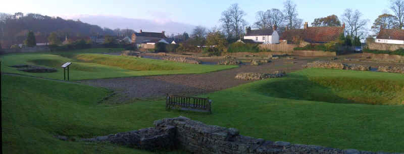
This is what remains of the fort today.
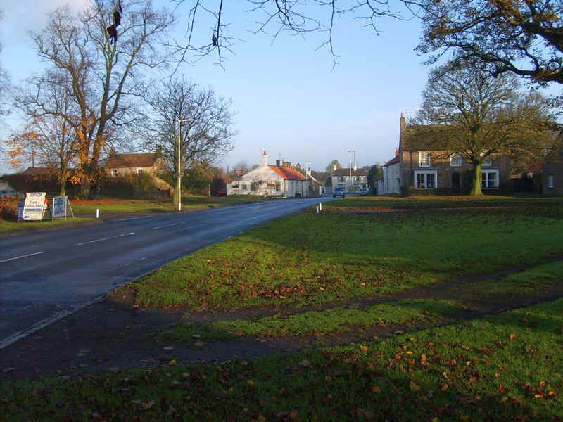
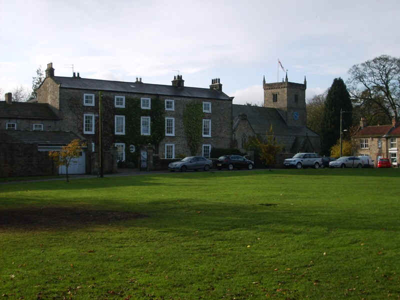
The village green at Piercebridge.
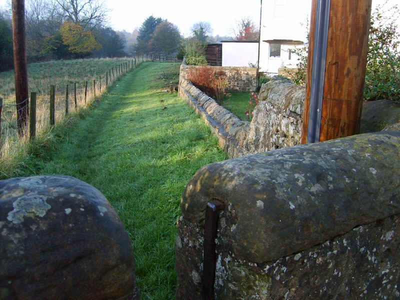
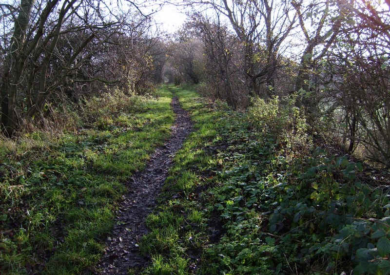
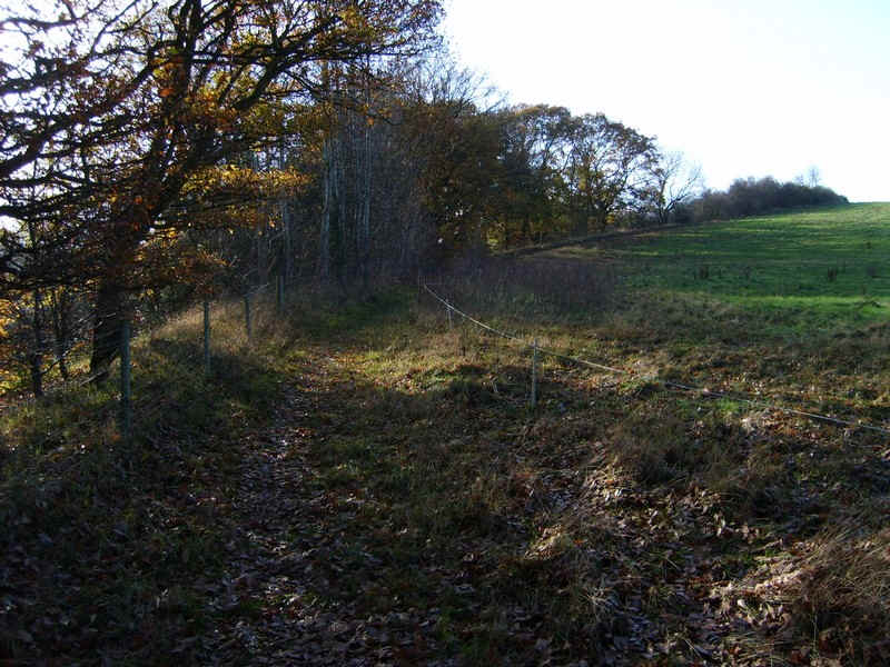
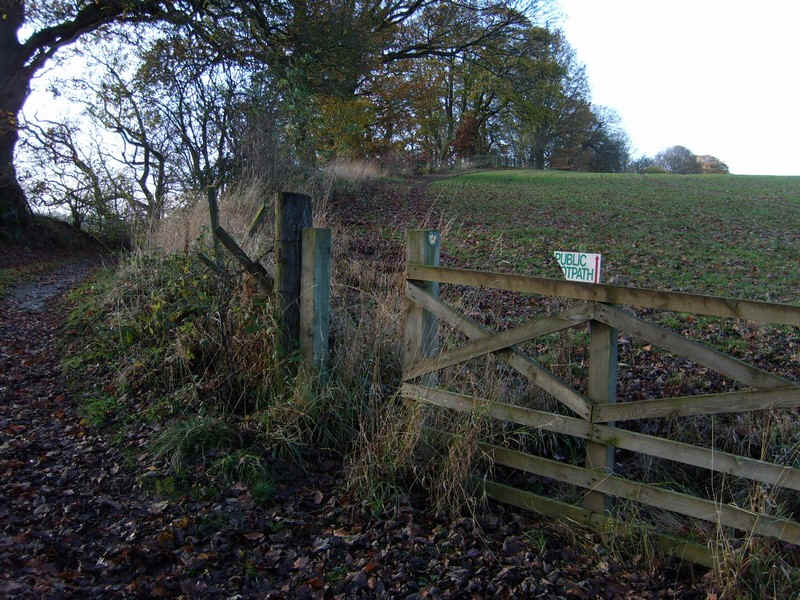
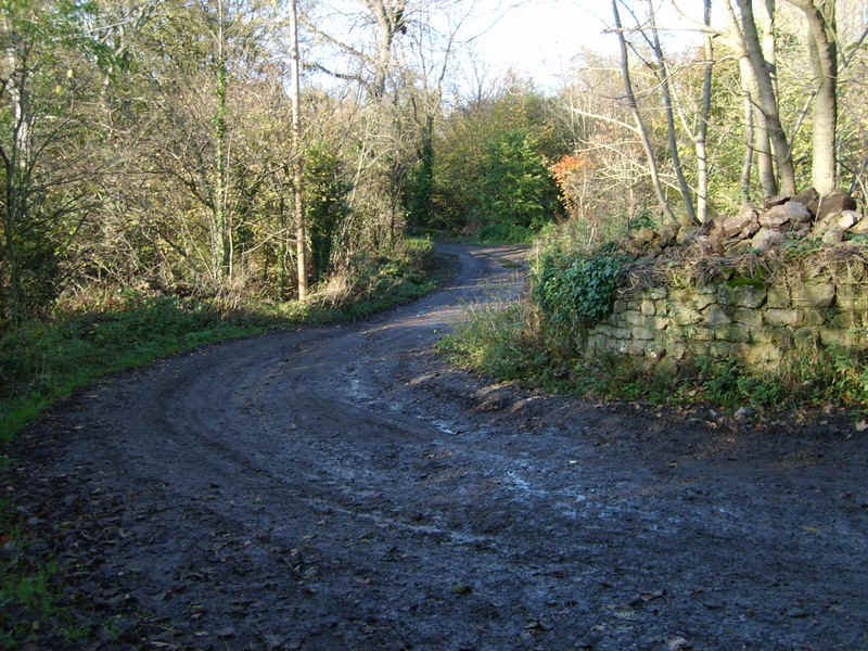
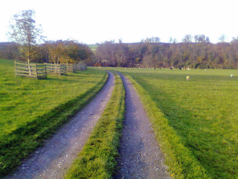
The Teesdale Way continues through a stile near the river...
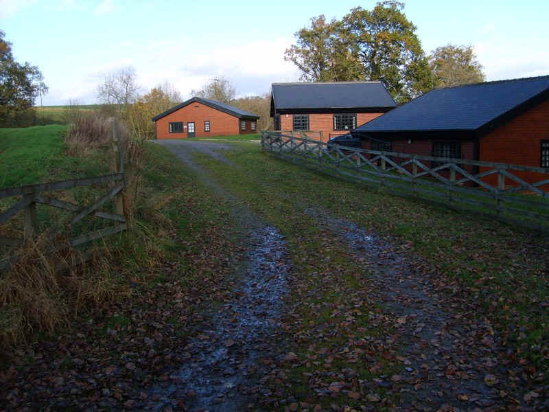
....and then along a lane past a small farm..
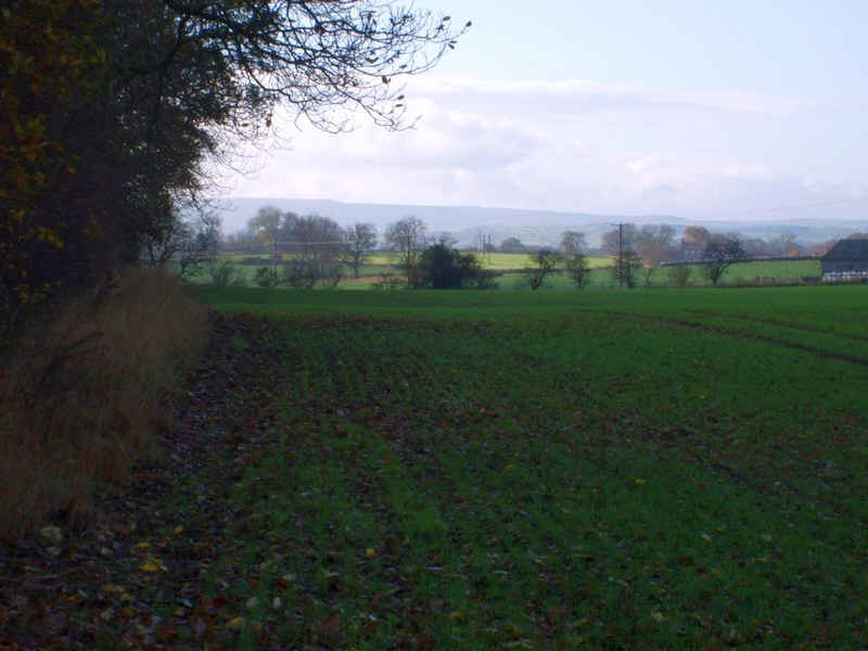
.....and then into fields.
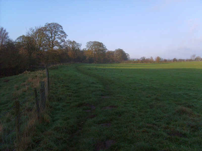
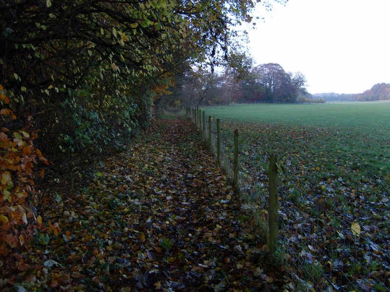
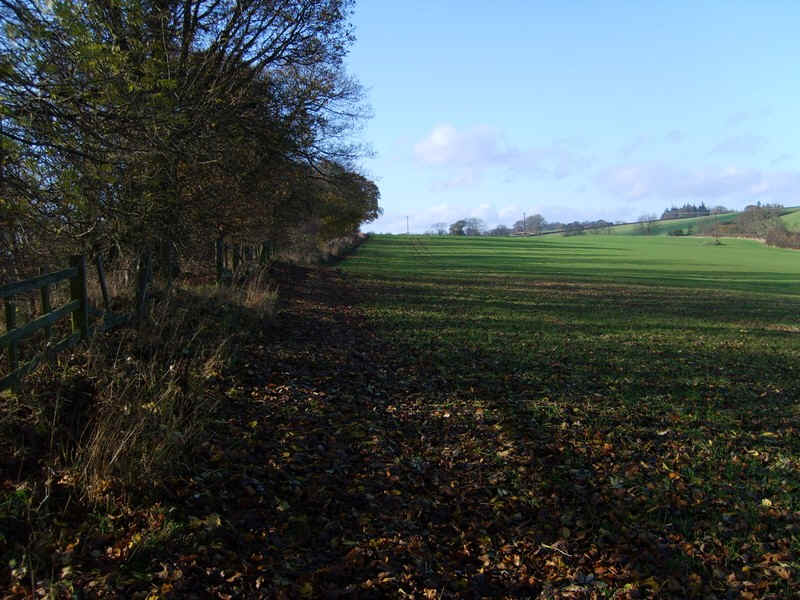
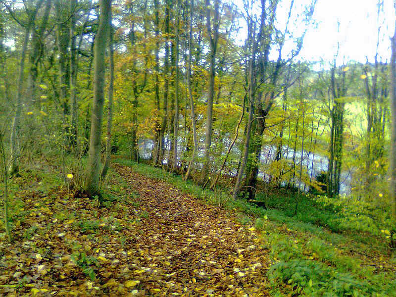
The path follows the river bank for some distance...
.....before following the edge of meadows to reach...
.....an old railway bridge near Gainford.
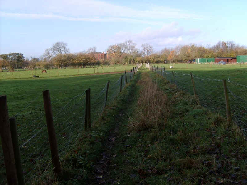
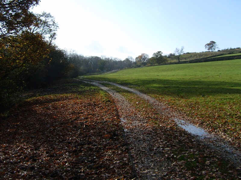
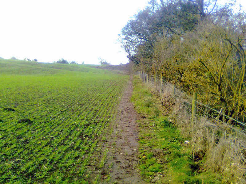
The path now crosses fields ...
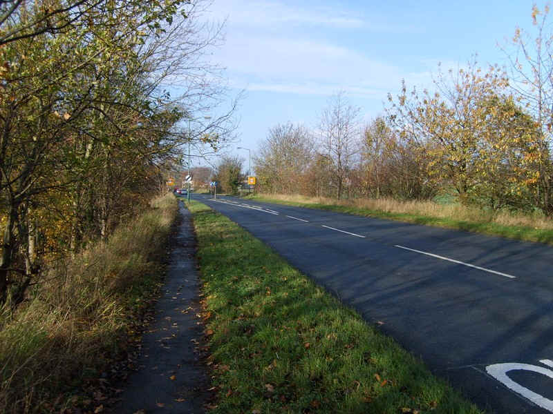
....to reach the main road again.
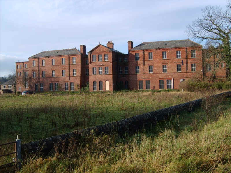
There's a grim reminder of the old work house, or Poor Law School, just outside the village.
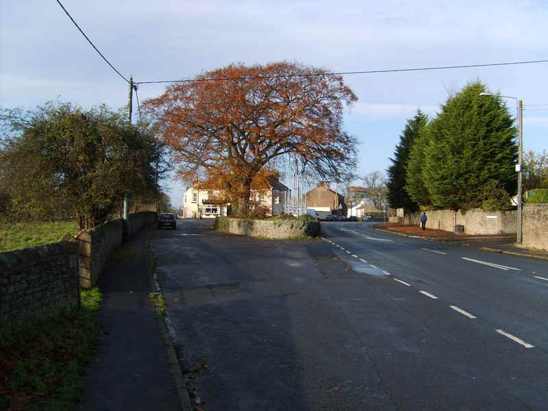
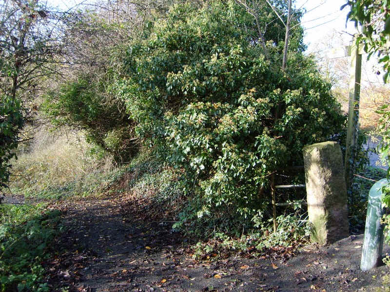
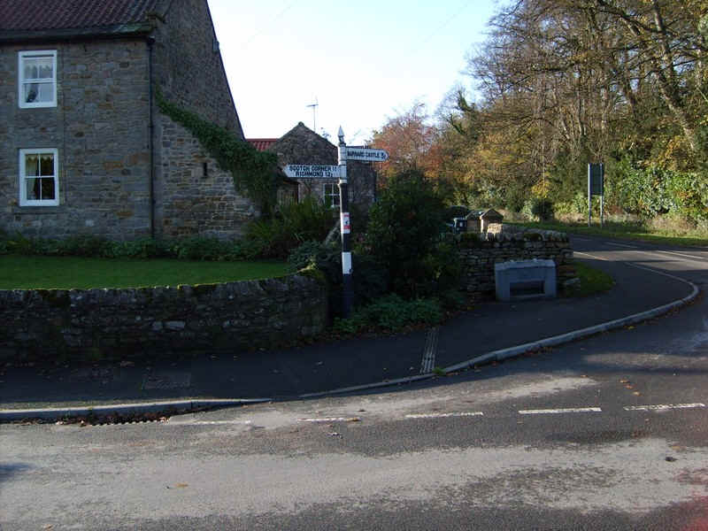
The main road bends to the right but a more attractive way through the village is to the left.
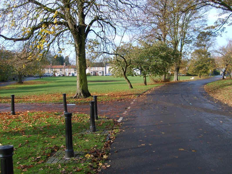
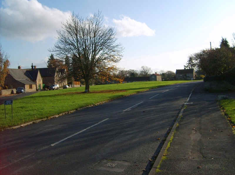
This leads to the large village green..
....with Gainford Hall and the medieval church in the corner
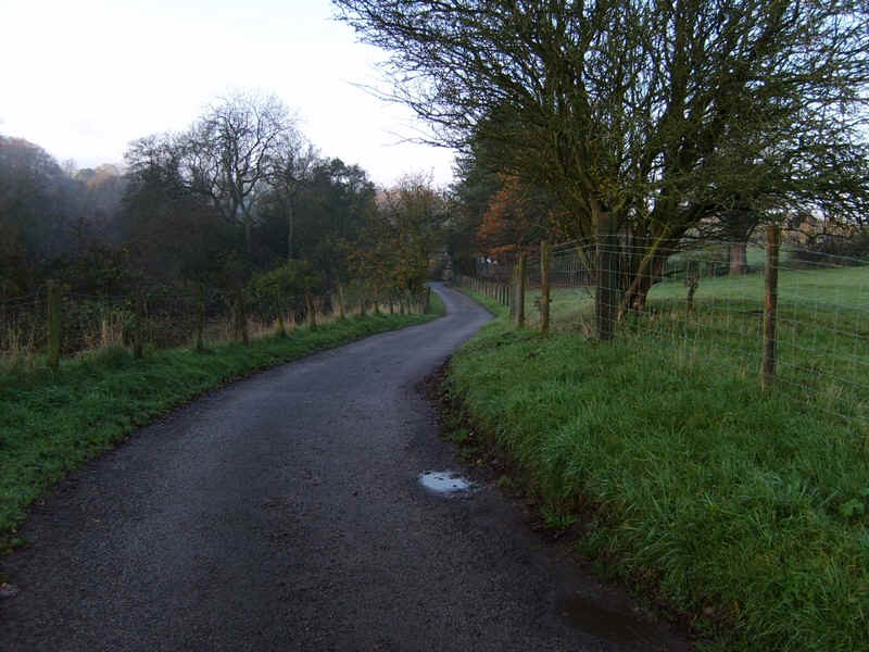
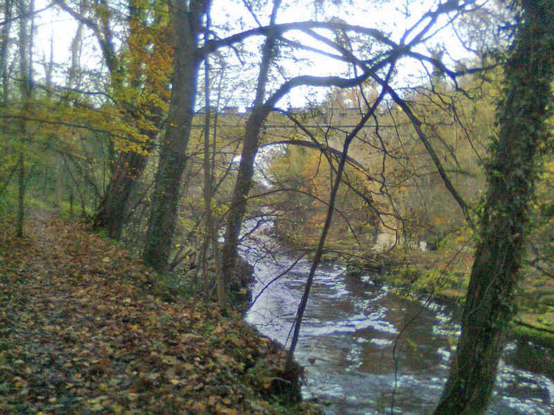
There's another short section on the road before the path drops down .......
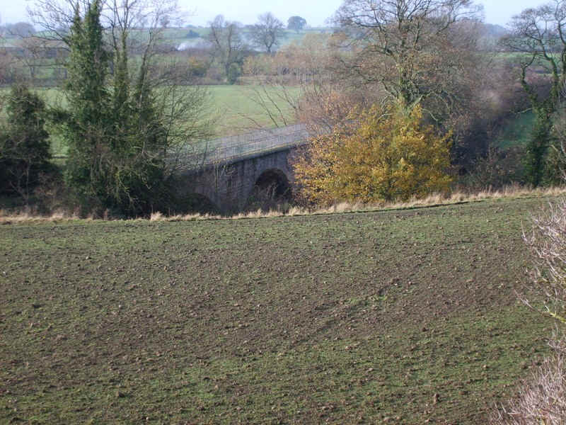
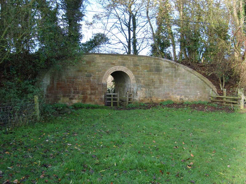
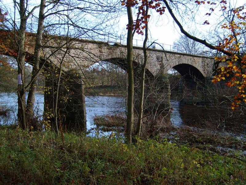
......near this viaduct on the old Darlington to Barnard Castle and Penrith line...
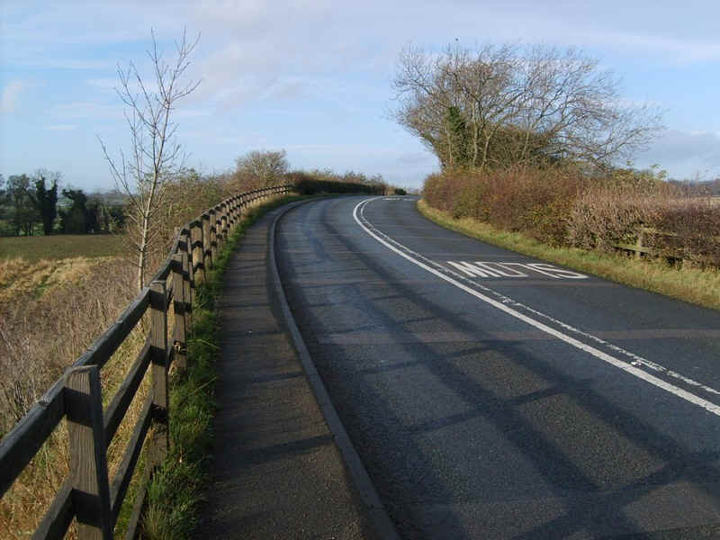
....at this bend in the road.
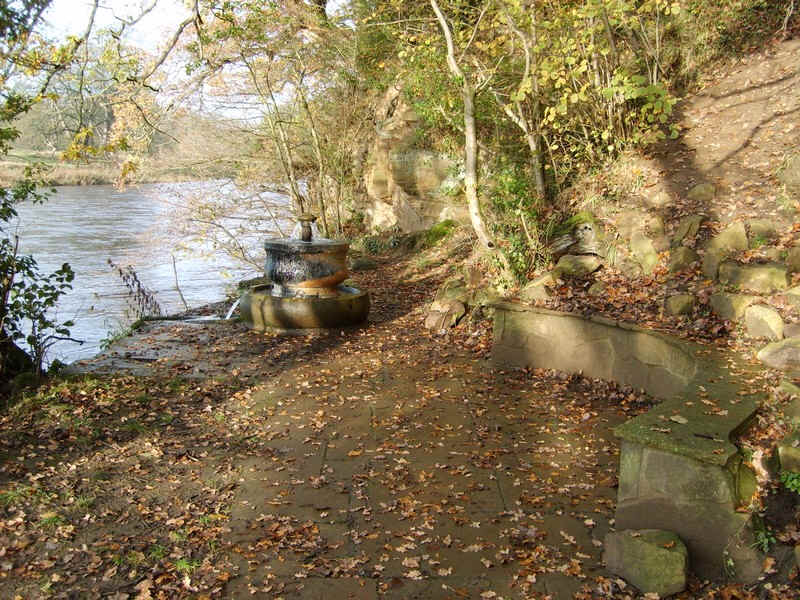
The path goes down to the river and this curious fountain...
....before immediately climbing back up to the road.
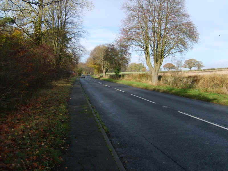
Unfortunately there's wuite a long walk along the road...
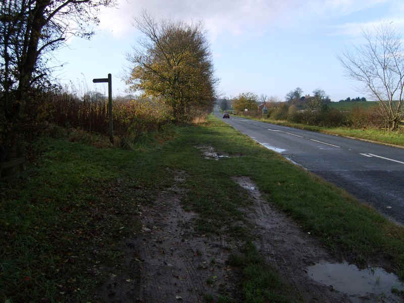
.....until near a pub the path goes back to the river...
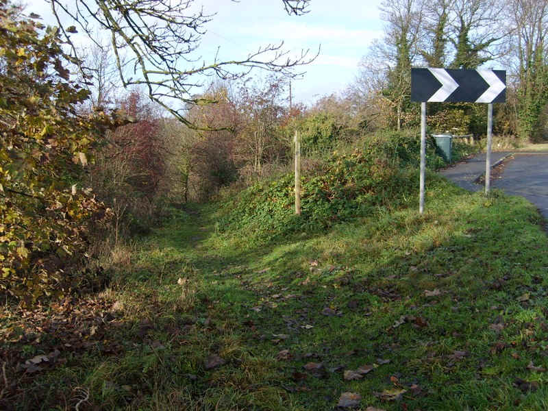
.....along the bed of the old railway.
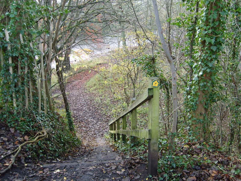
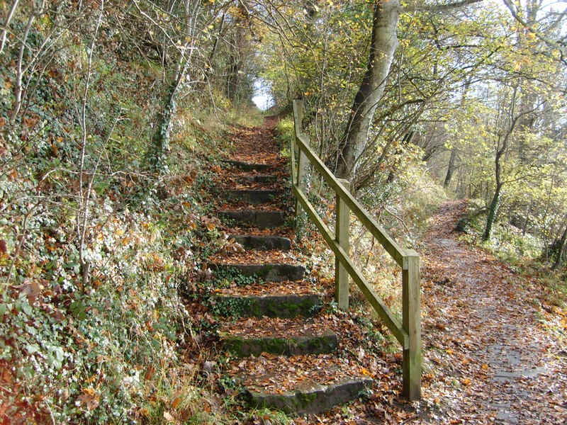
Just before reaching another bridge over the river steps lead down to the banks...
.....where this bridge is revealed.
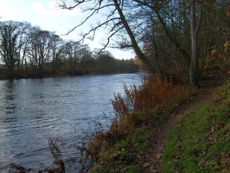
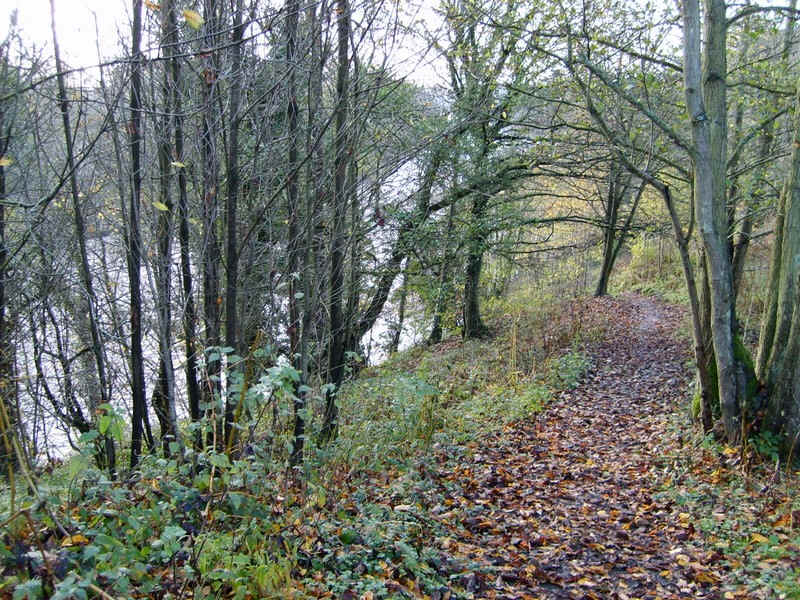
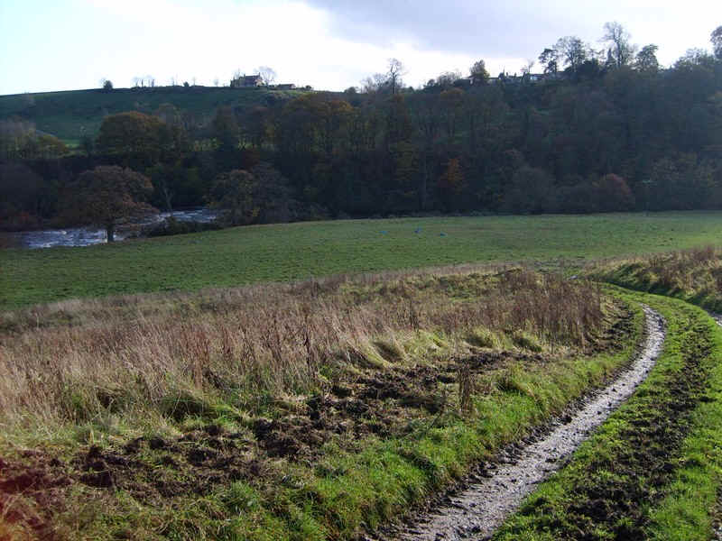
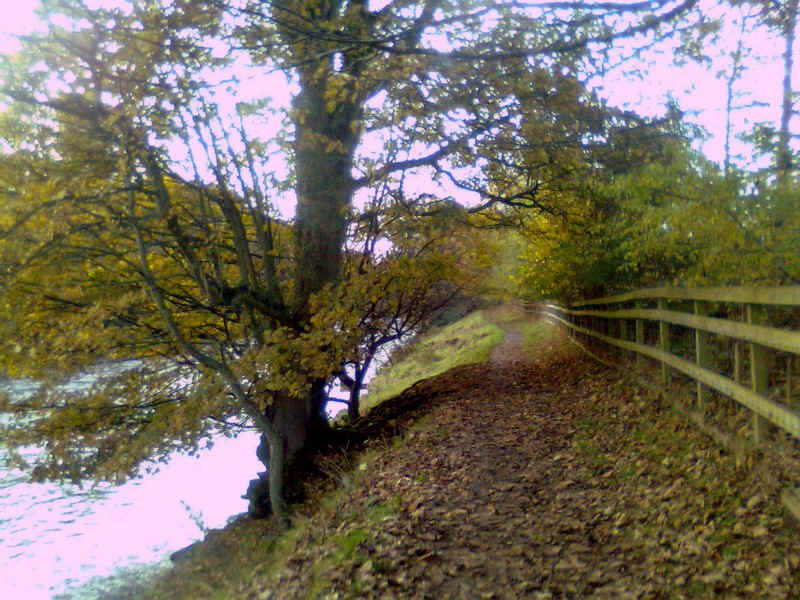
There's now a pleasant river bank walk, often very close to the water..
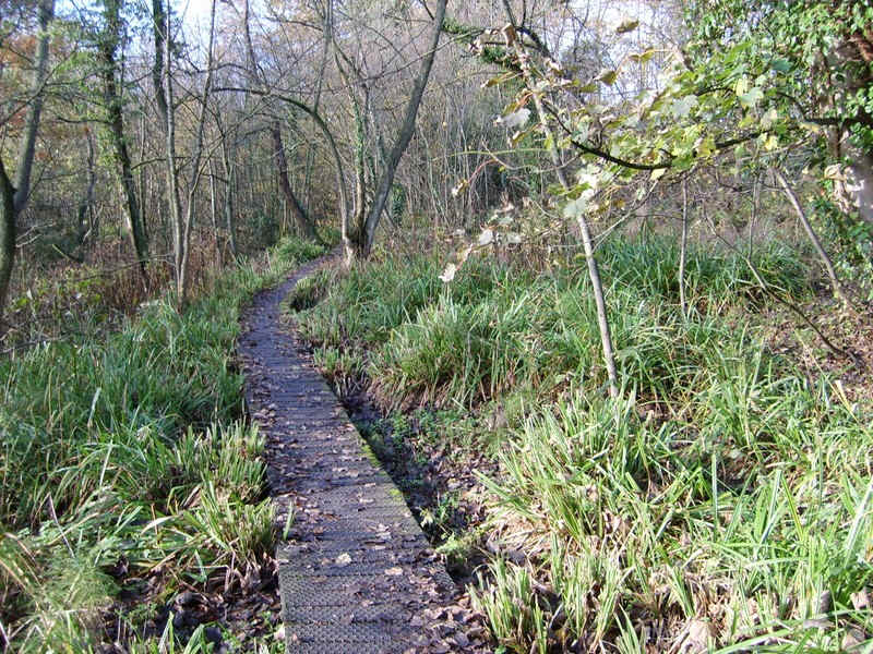
....before heading across board walks.....
....and a stiff climb back up to the road, only to drop back down quite steeply to the river...
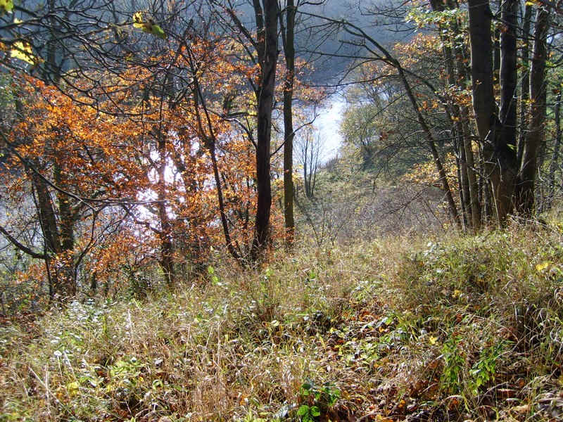
....through trees.
Eventually, the path moves away from the river as it passes the village of Winston over to the right.
There was a near impossible section just before this bridge where cows had ploughed up the field so badly that I decided climbing a locked gate was the only option.
Beyond the bridge the path climbs uphill, although I was confused at one point where a track drops down to the river.
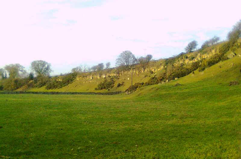
The Teesdale way climbs high above the Tees which from now on is in a gorge often several hundred feet below. The advantage of walk the path in Autumn are obvious as in summer the foliage would hide the views.
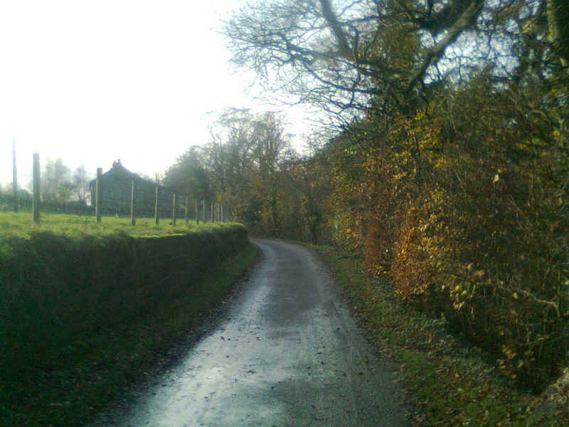
Near Highcliffe Waters there's a bit of lane walking....
.....past a group of timber holiday cottages.
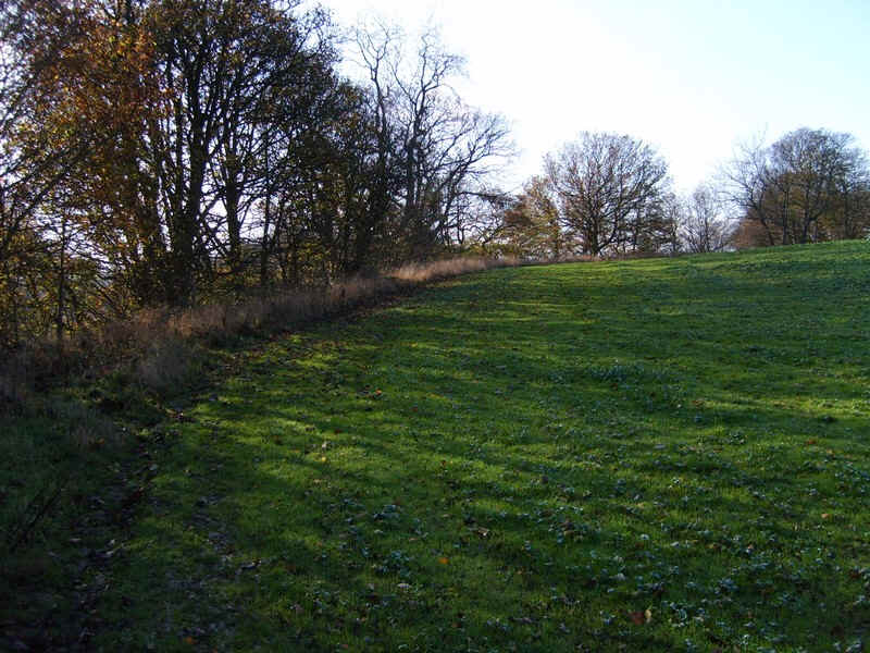
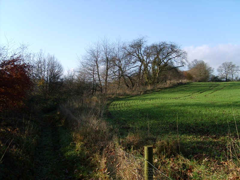
The Teesdale Way takes to the edge of the fields as it climbs uphill..
.....along the side of meadows.
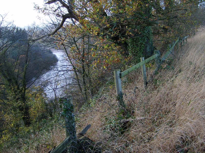
The Tees far below - sadly there's no path by the riverside.
At last - the Pennines come into view.

At Osmonond Croft there are signs that show the farmer has had problems with dog walkers - dogs may be shot if off lead. Turning off the path along this lane I would have shot the cows for the mess they had made of the lane!
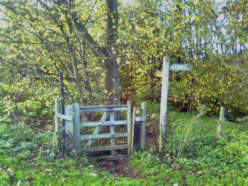
I missed the inconspicuous turning for the TW near here and head down to the river - big mistake as it meant climb up a steep bank..
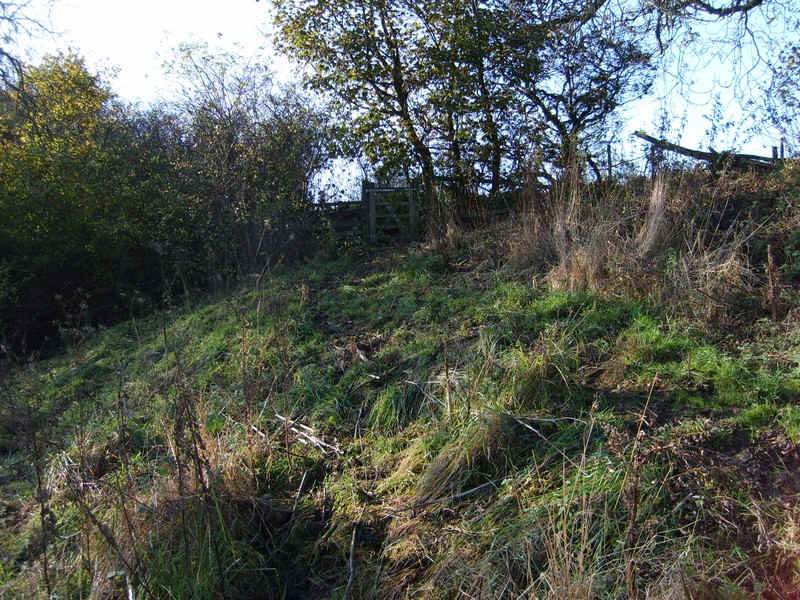
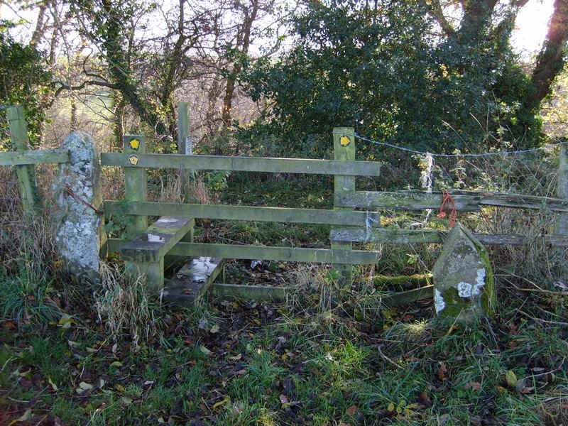
....top reach a stile by a copse.
The path continues to climb giving....
....superb views into the gorge.
Carrying on by the edge of fields the path wasn't always easy to follow and ...
.....I initially missed this stile near Low Barrs farm and had to double back as there was barbed wire along all the fences.
Instead of turning left onto the Teesdale Way I decided to go into Whorlton village along this lane..
.....which met the farm road to the...
......village crossroads.
Going to the left I crossed the green at Whorlton...
...before dropping down along the road...
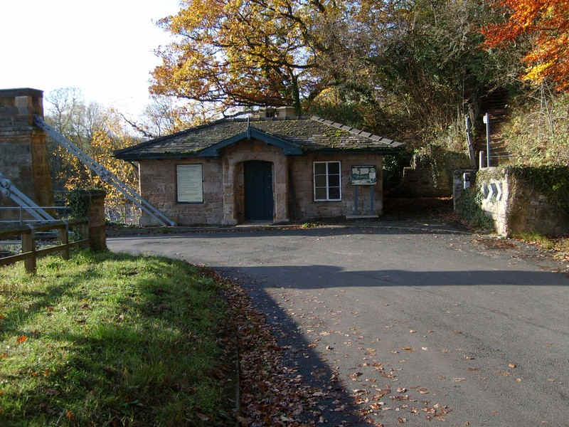
....to reach the old toll house at the...
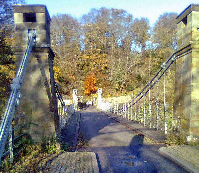
.....suspension bridge over the river.
beyond the bridge the path first crosses a field and the runs straight towards a ruined farm buidling at West Thorpe...
....and then on towards a wood. There's a slightly confusing section by the wood.
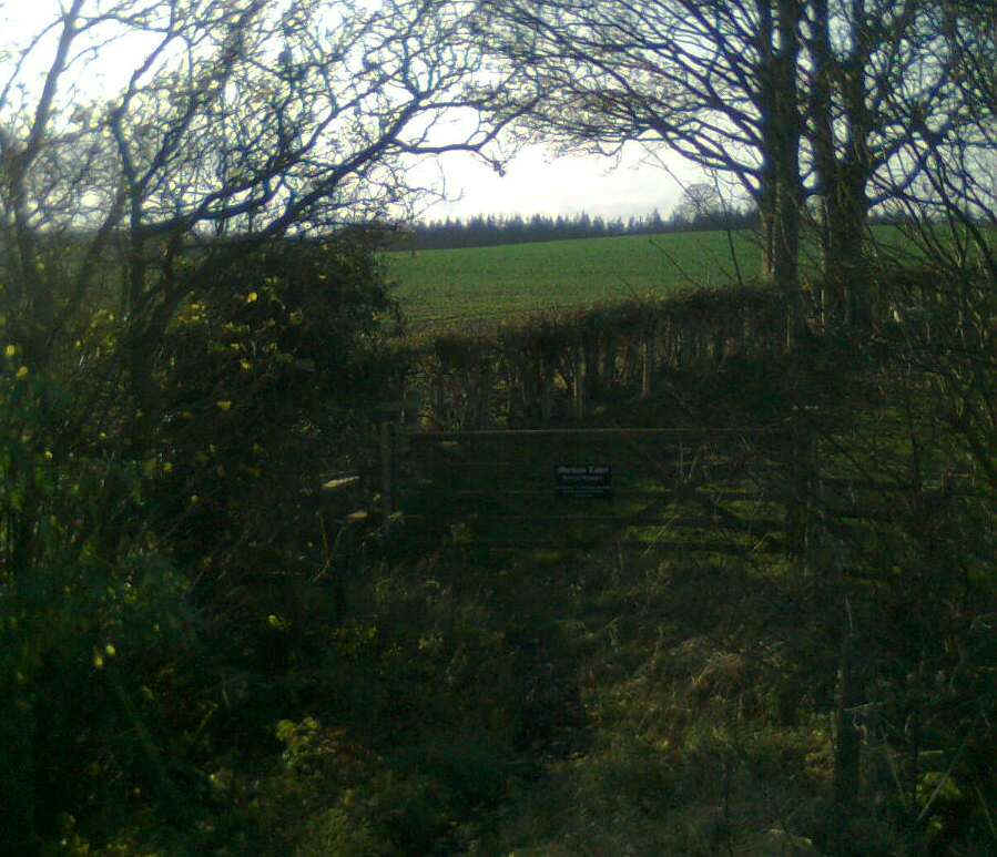
This rather poor photo shows the almost concealed way forward at one corner of the woods.
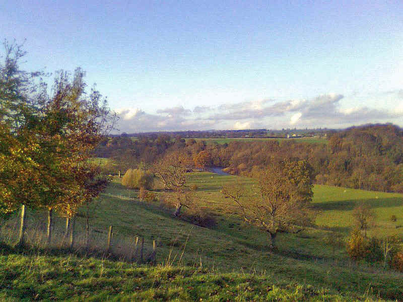
Beyond a superb view of teh river valley opens up...
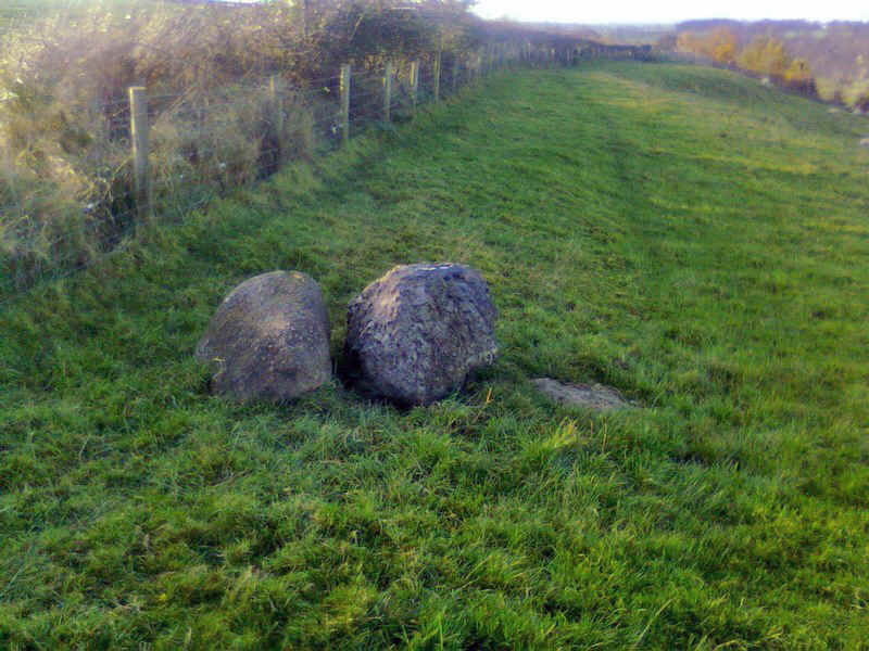
These boulders of Shap granite were deposited here in the Ice age
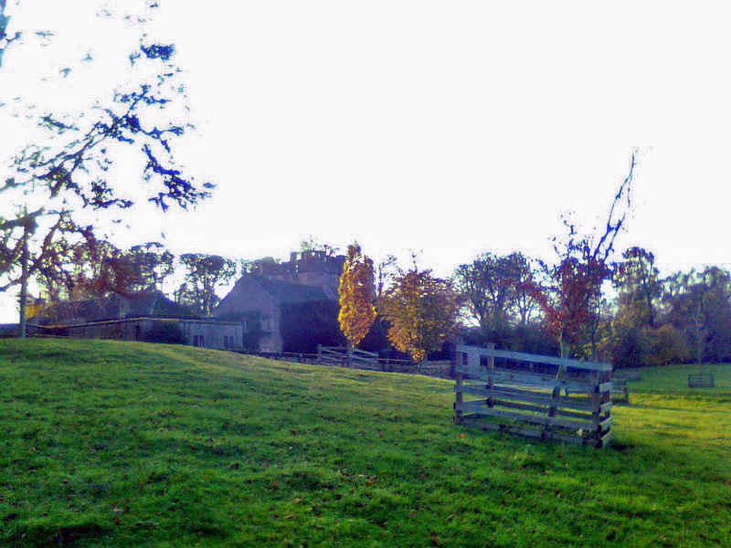
The path ends at Mortham Hall...
.....and the way forward goes down the approach road from the hall.
The Teesdale Way now crosses the River Greta near its junction with the Tees...
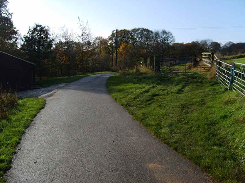
....and goes along the paved lane to the main road.
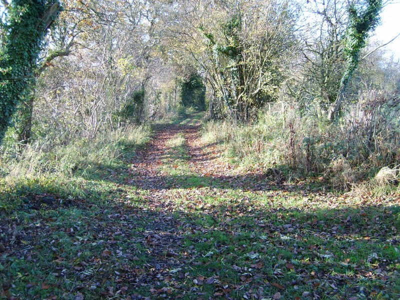
The path then takes to the woods...
.....above the Tees.....
.....with another field edge to be followed.
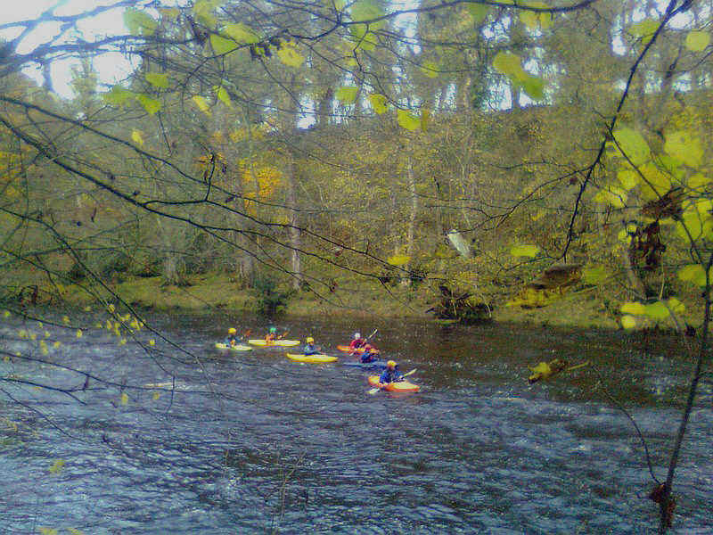
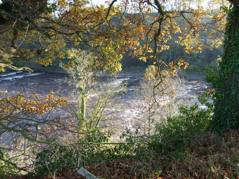
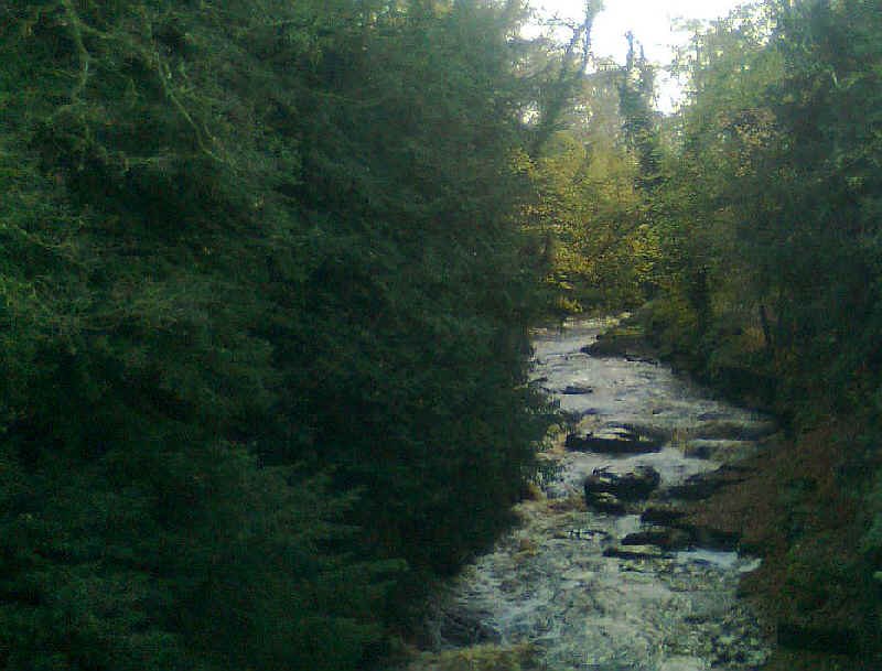
There's now the most dramatic part of the day's walk through a constricted gorge with rapids and a favourite with canoeists.
At the Abbey Bridge the Teesdale Way ....
.....crosses over to the north bank...
.....and continues through the trees and meadows..
.....and goes past outcrops of what looks like the Whin Sill.
Then it's along the river bank....
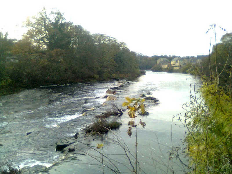
.....to the weir just outside Barnard Castle.
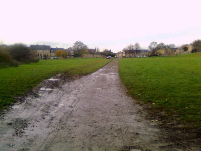
The final stretch into the town is across a common.
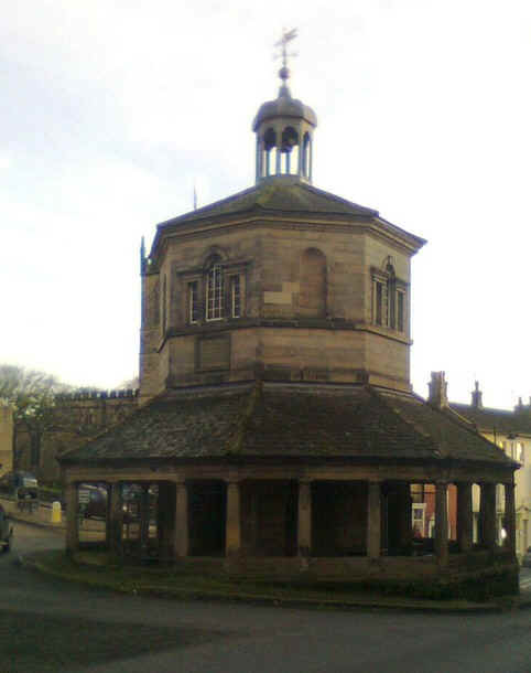
Barnard Castle's market tower.