Hebridean Journeys - Part 2
Saturday 15th August 2009
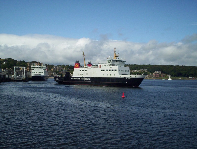
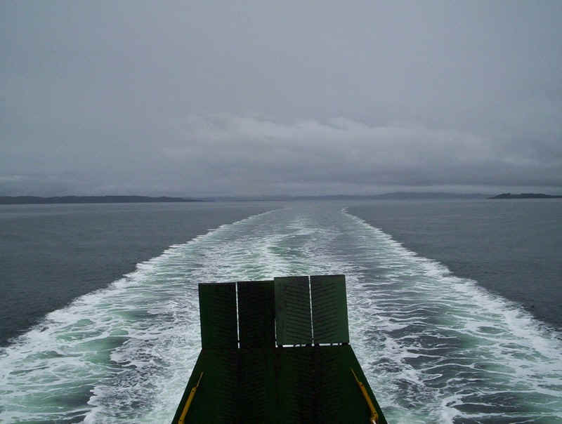
Our second Hebridean journey of 2009 started at Wemyss Bay, on the Clyde with our first day's journey taking us as far as Tarbert on Kintyre. We left on the "Bute", bound for Rothesay.
Our route from Wemyss Bay to Tarbert.
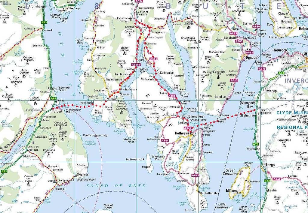
Leaving the pier at Wemyss Bay
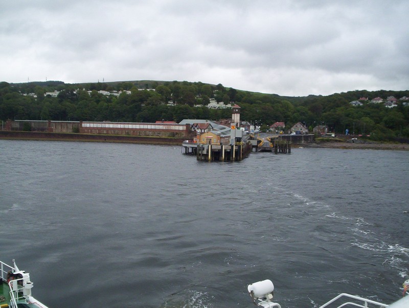
Rothesay, on the Isle of Bute.
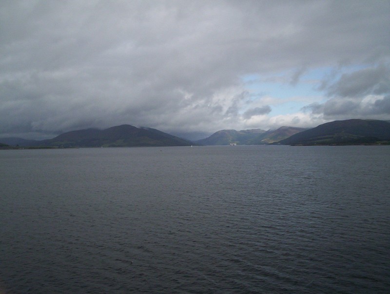
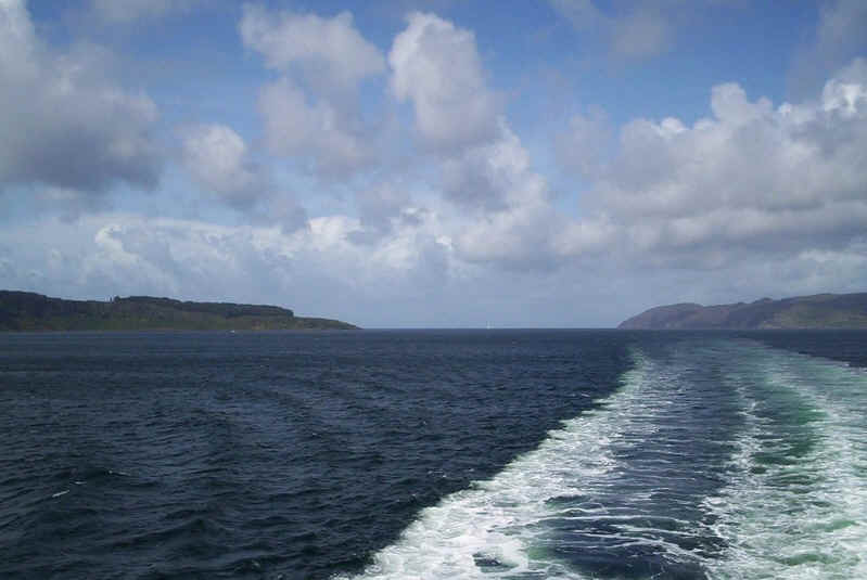
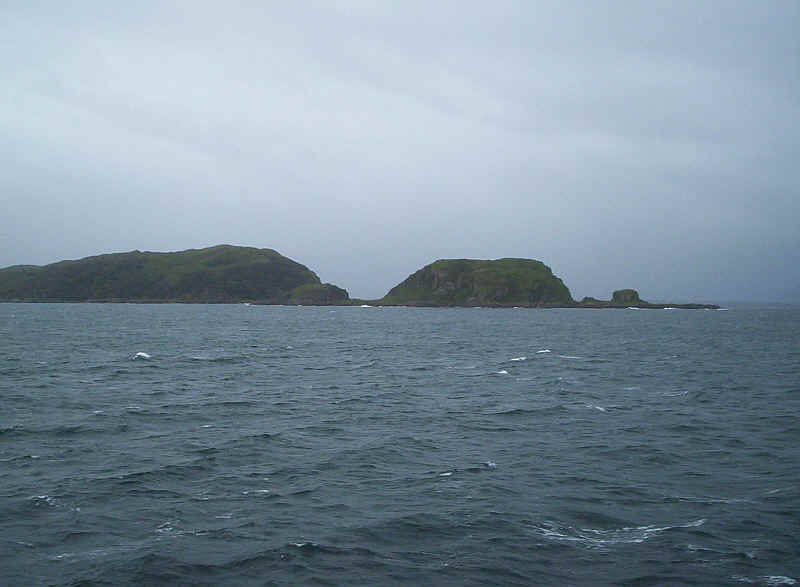
Loch Striven seen from the ferry. In the distance can be seen some "laid up" ships, whilst the Kyles of Bute are to the left between the island of Bute and the mainland.
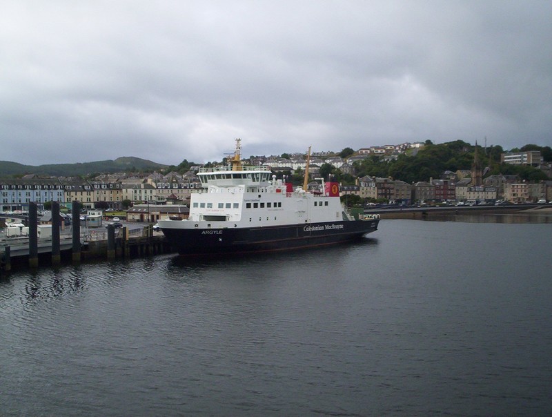
The other Rothesy ferry, the "Argyle", had broken down and was moored against the quayside. This resulted in the cancellation of some of the Wemyss Bay sailings and also meant that the scheduled call of the paddle steamer "Waverley" was not possible. We saw the ship pass in the distance but sadly too far away for a photograph.
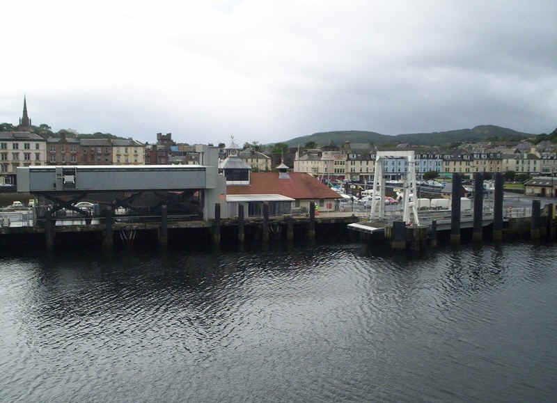
The ferry terminal at Rothesay, with the castle keep in the background.
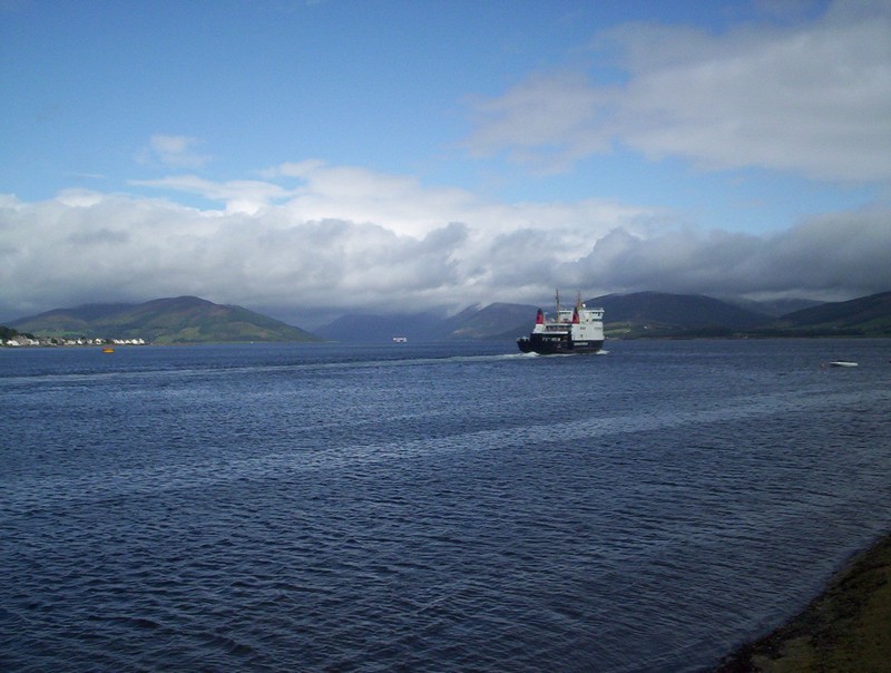
The "Bute" returns to Wemyss Bay.
The next stage of our journey was by the Rothesay to Dunoon bus, which crosses the Kyles of Bute on the ferry.
On board the "Loch Dunvegan", which operates the Rhubodach to Colintraive service
The Colintraive slipway, across the Kyles of Bute.
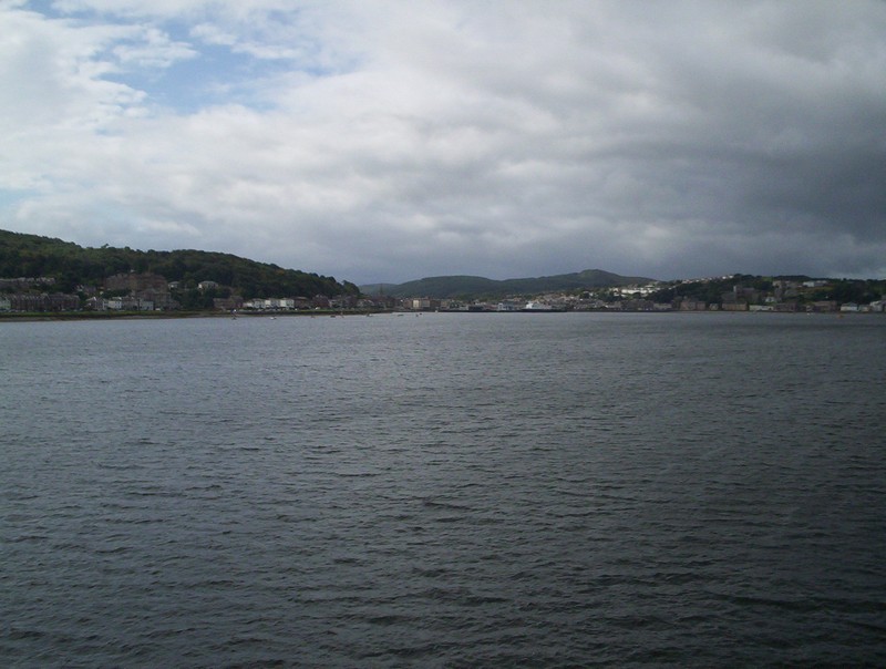
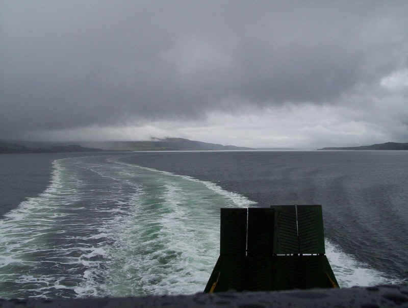
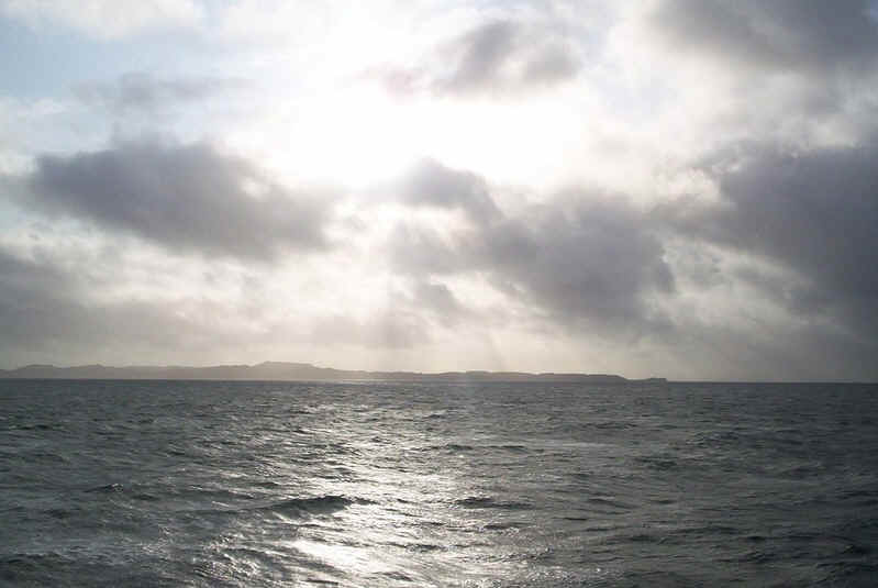
Looking towards the Clyde estuary from the ferry.
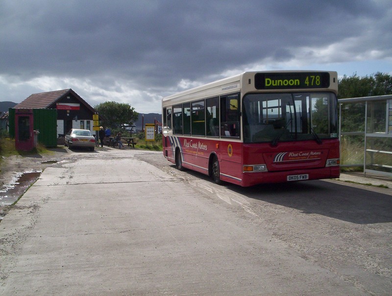
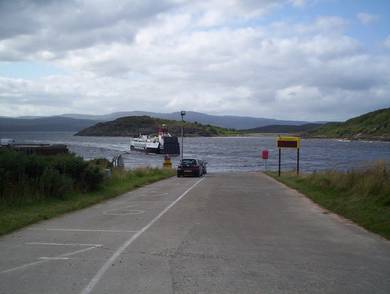
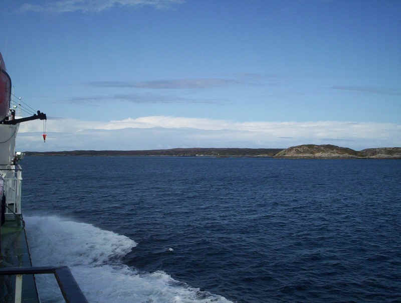
The Rothesay to Dunoon and Dunoon to Portavadie buses connect with each other at an isolated road junction on the Cowal peninsula. Here the bus has arrived at Colintraive slipway, for the ferry connection to Tarbert on the Mull of Kintyre.
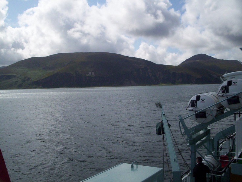
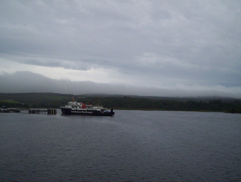
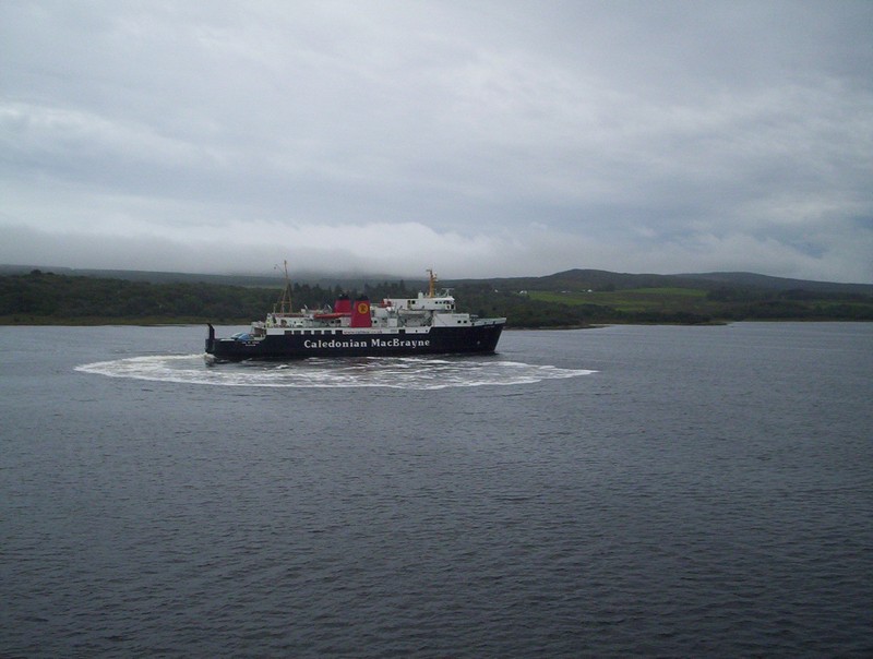
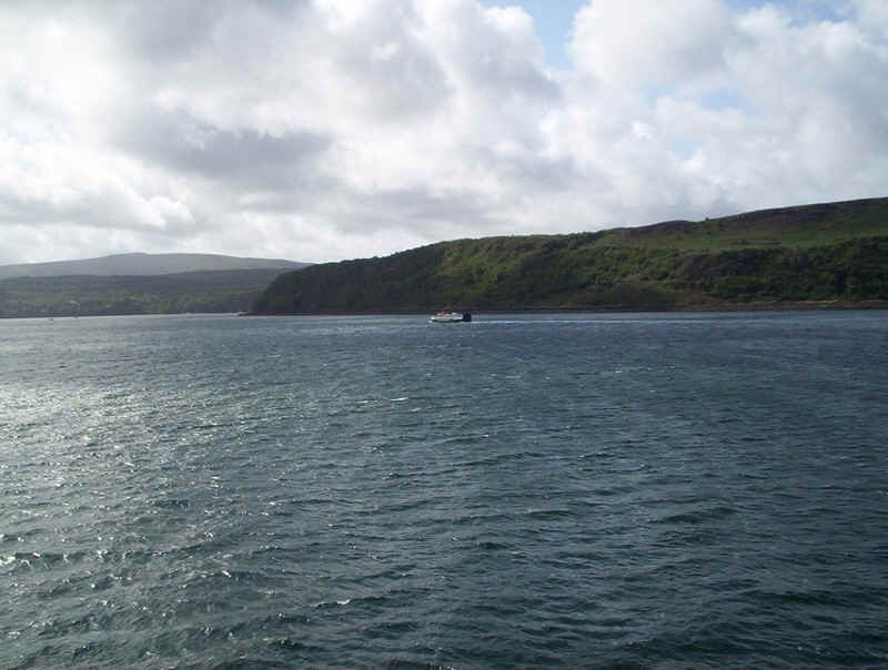
The "Loch Riddon" arrives at Portavadie from Tarbert.
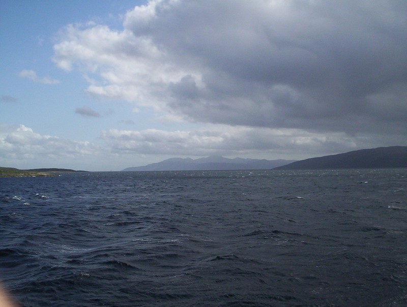
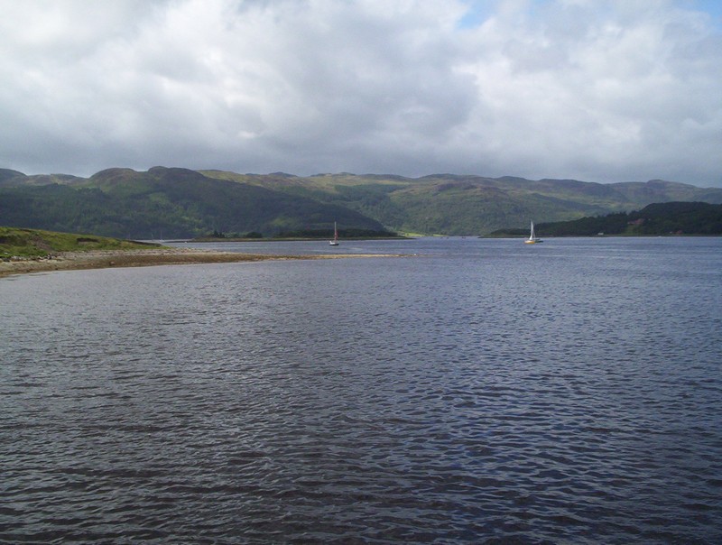
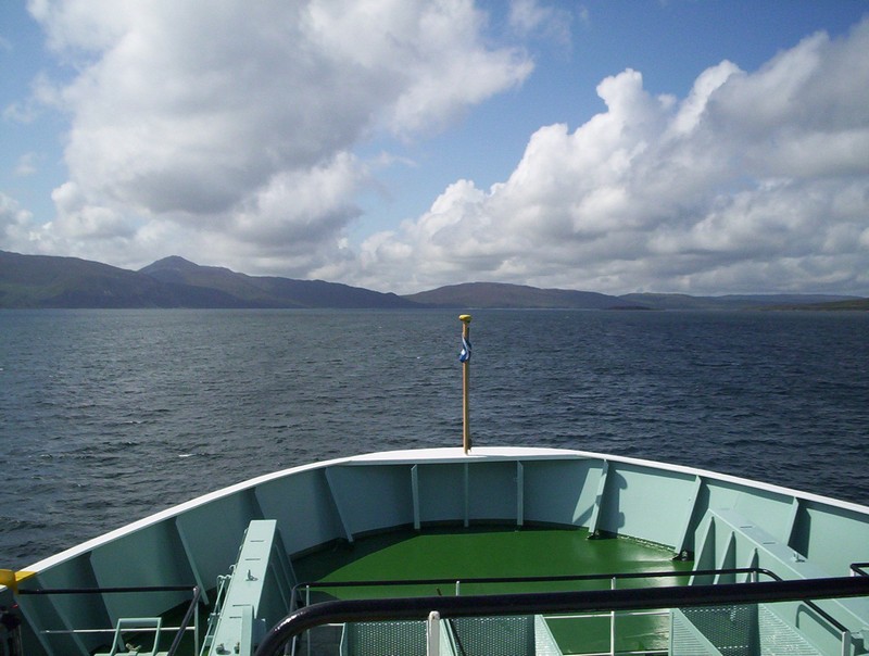
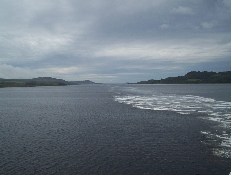
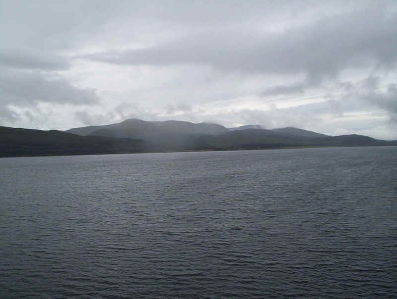
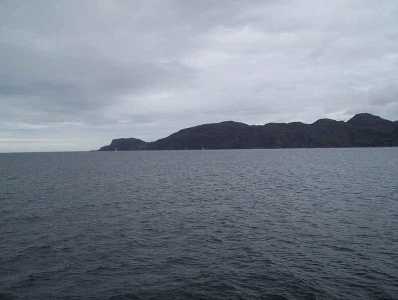
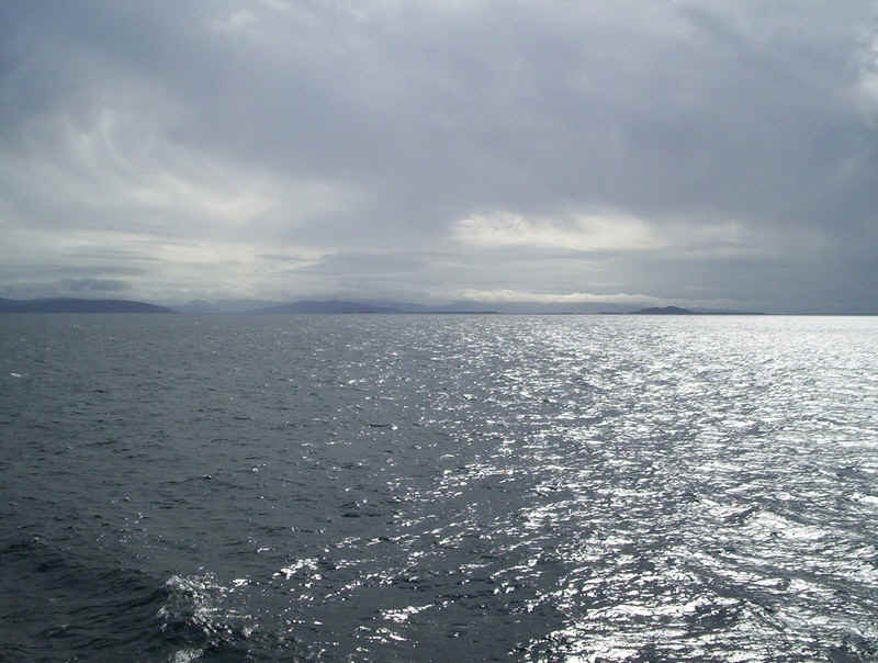
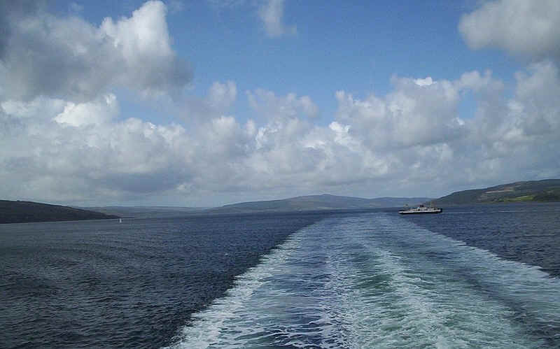
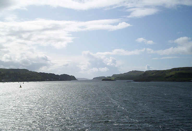
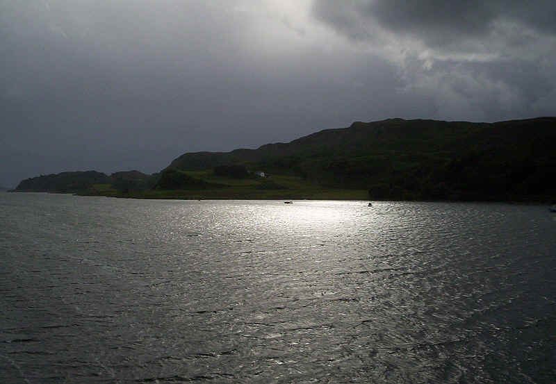
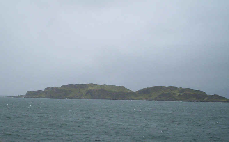
Arran and its highest peak, Goat Fell, seen from the ferry crossing Loch Fyne.
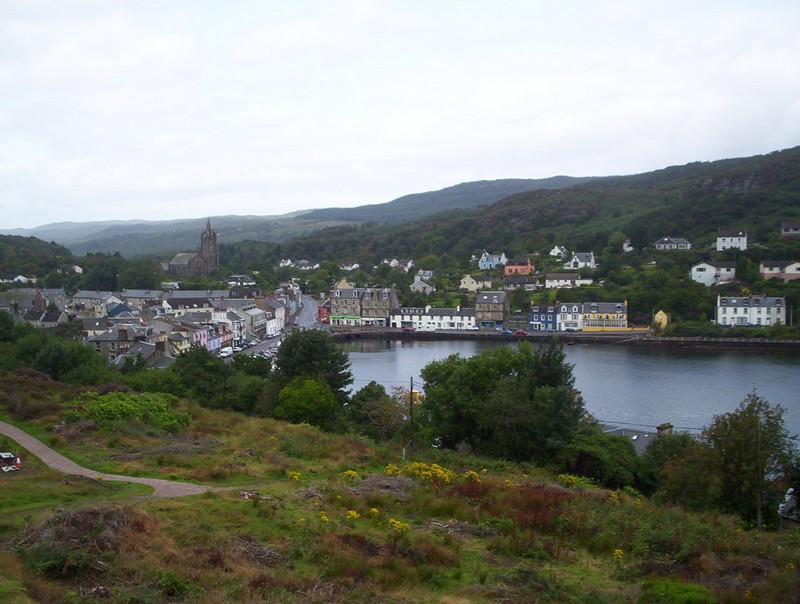
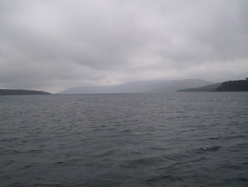
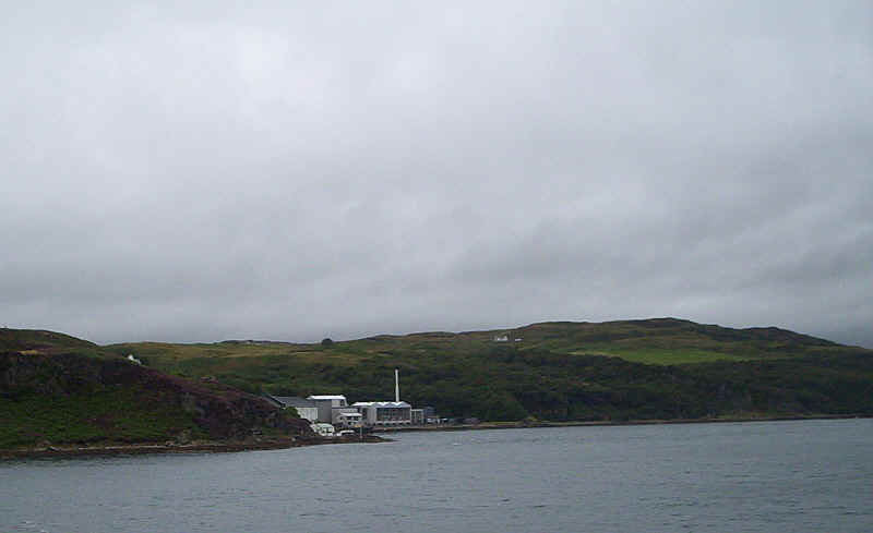
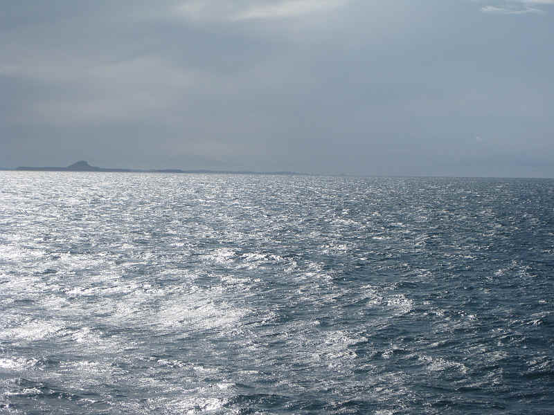
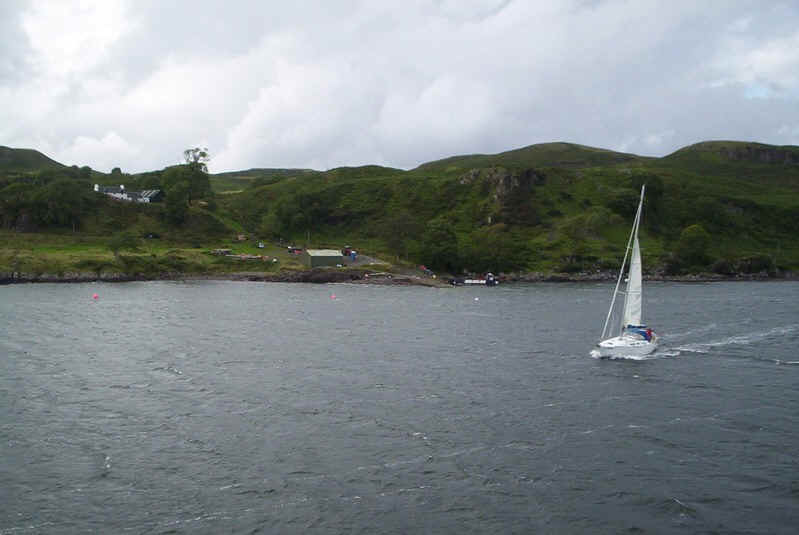
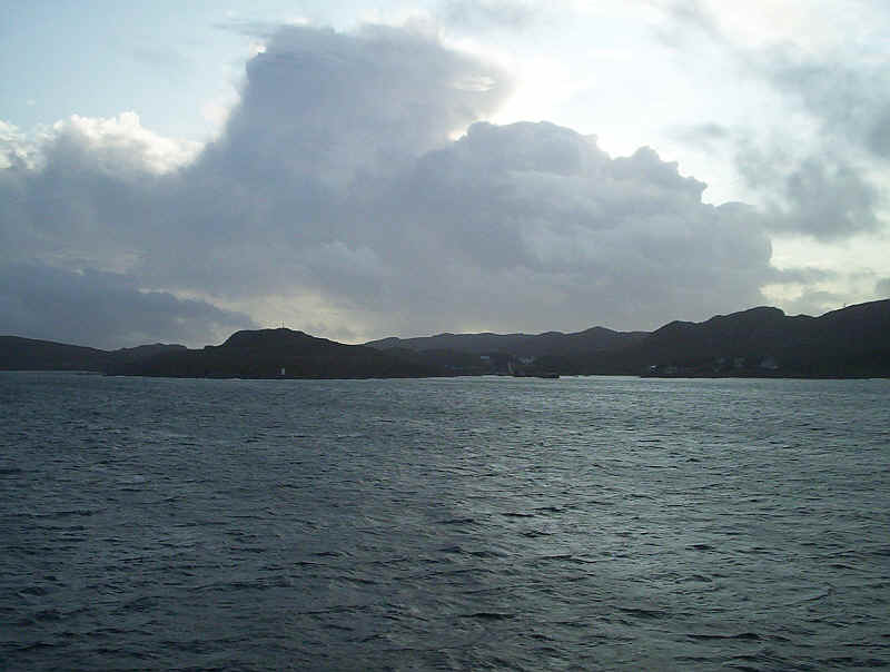
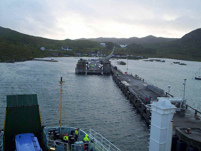
Tarbert, seen across Loch Fyne is situated between the hills of Knapdale, on the right, and Kintyre, on the left.
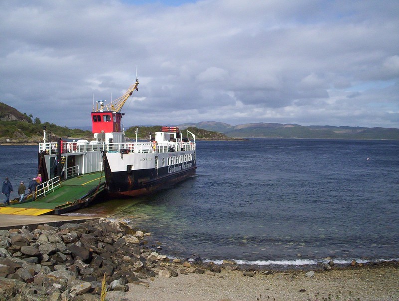
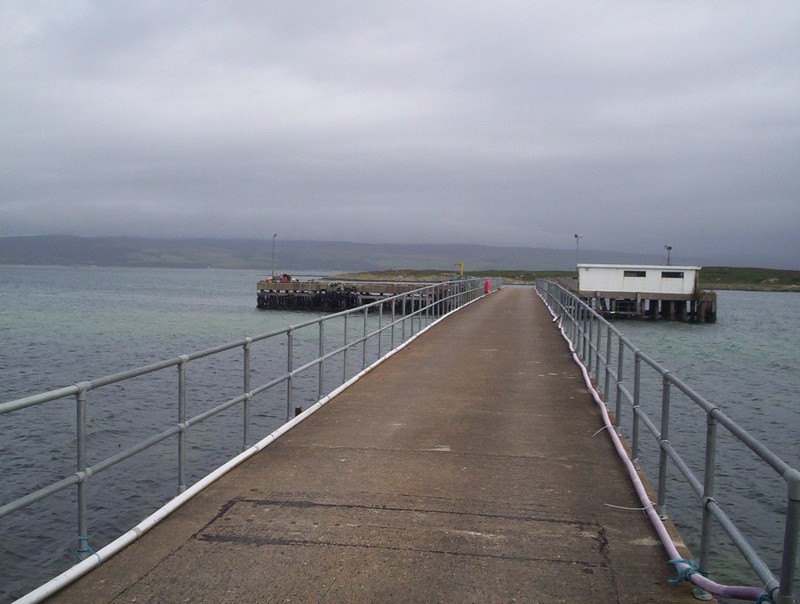
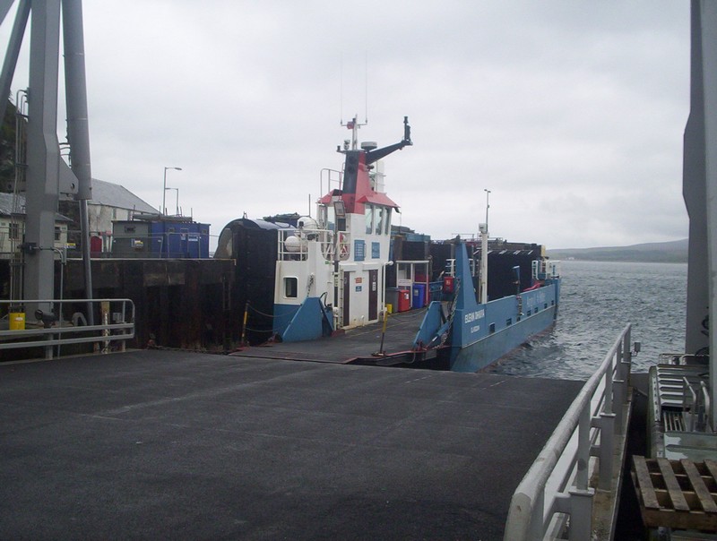
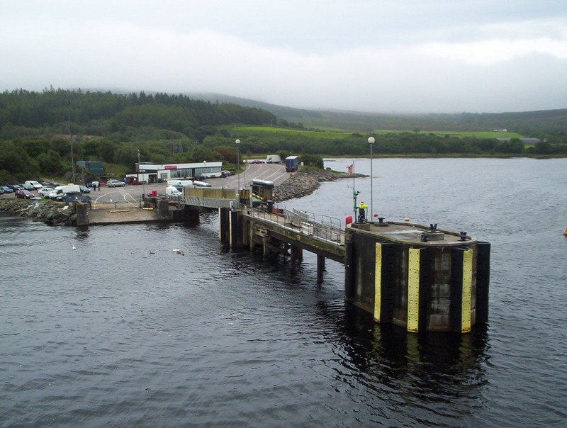
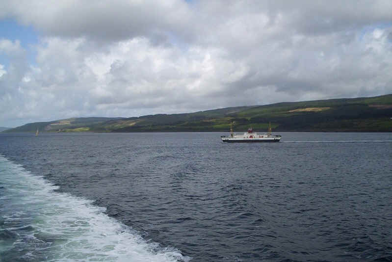
The "Loch Riddon" at Tarbert slipway.
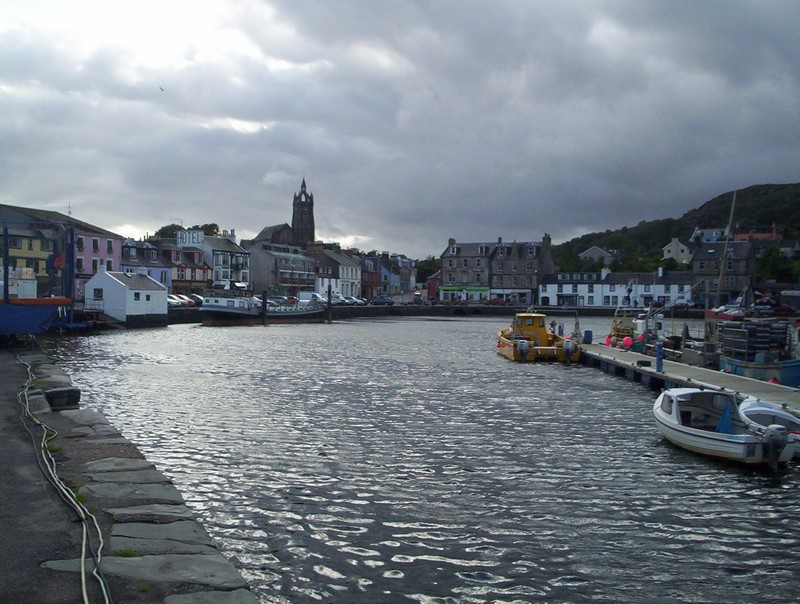
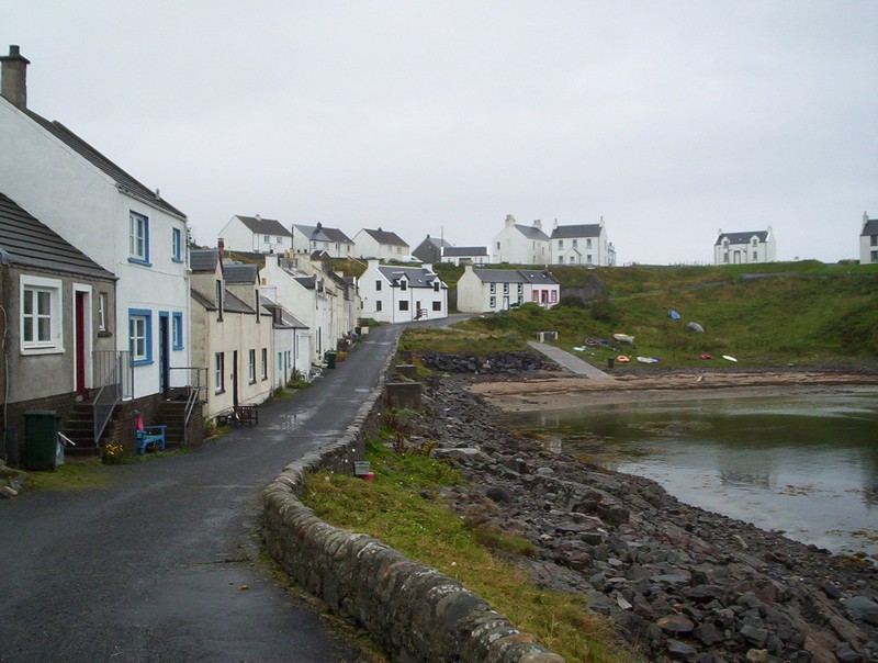
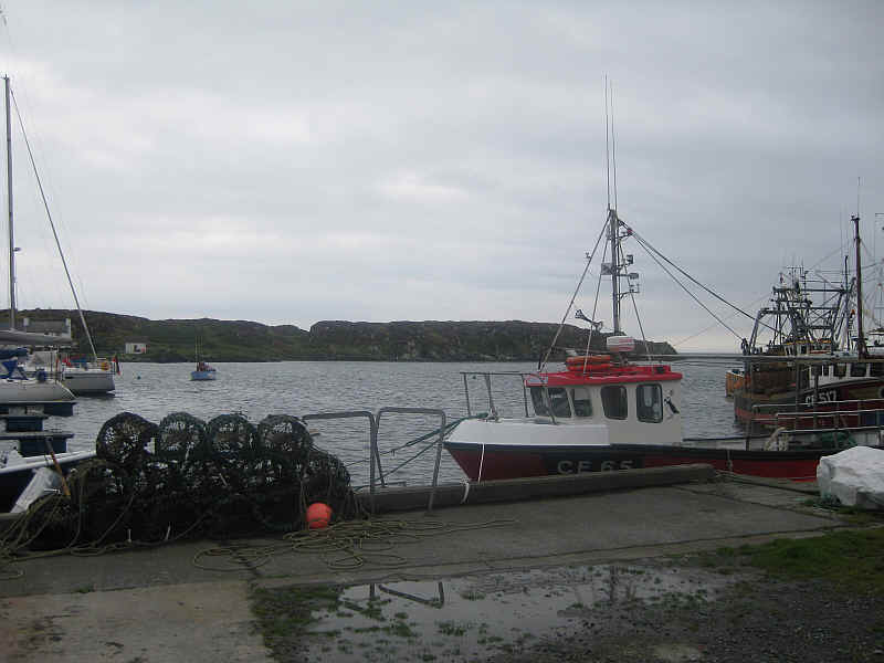
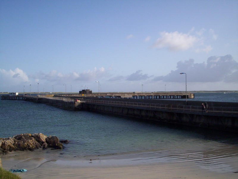
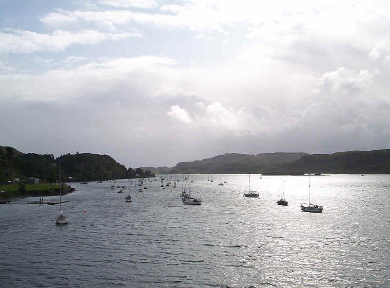
Tarbert harbour
Sunday 16th August 2009
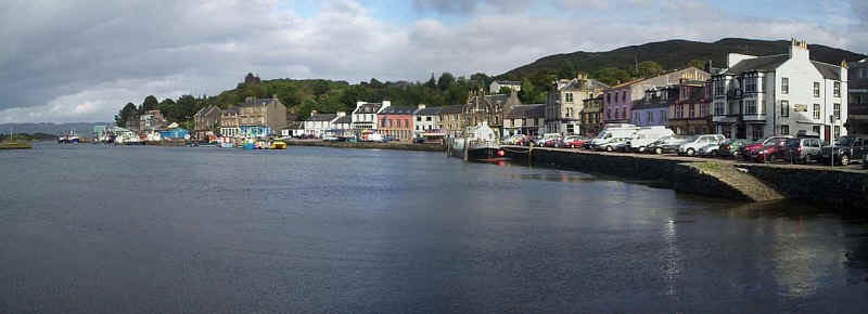
A panorama photograph of Trabert.
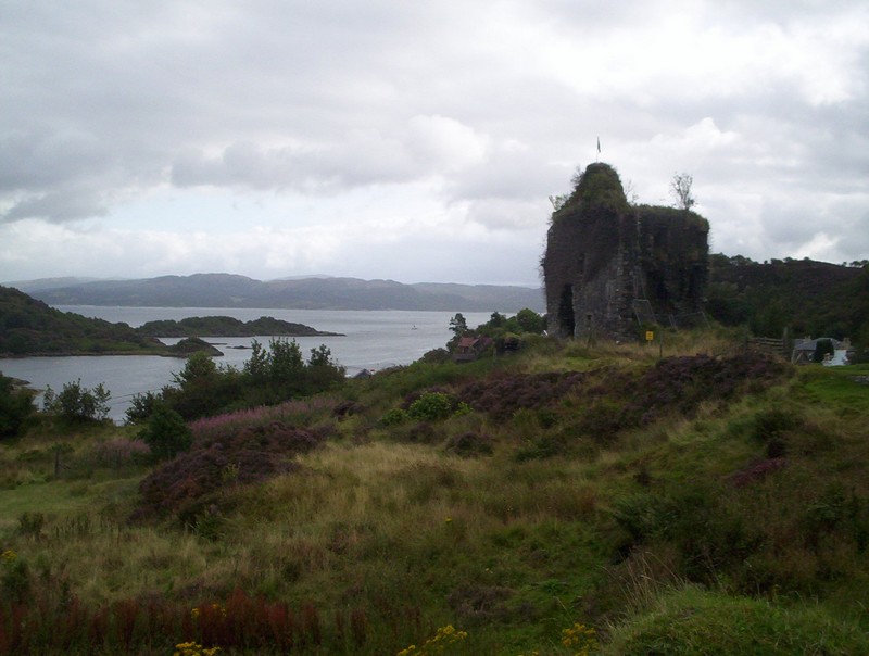
The ruins of Tarbert castle above the harbour.
Tarbert village from the castle.
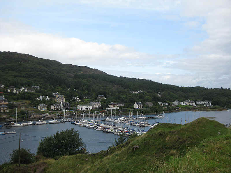
Tarbert marina.
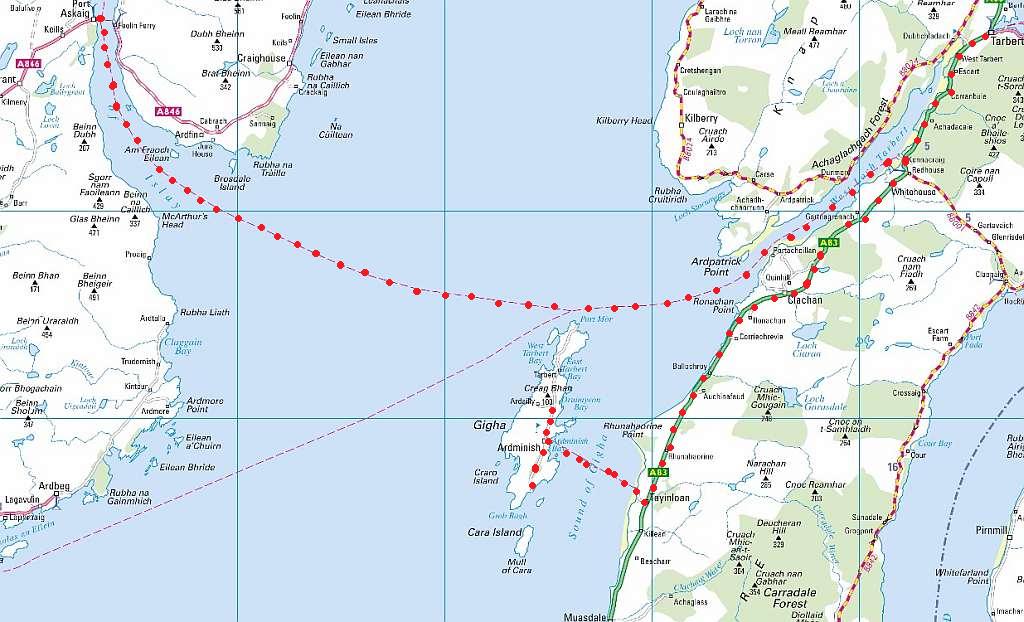
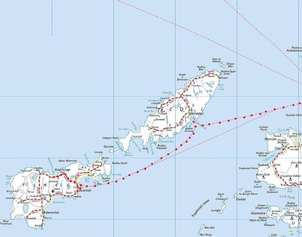
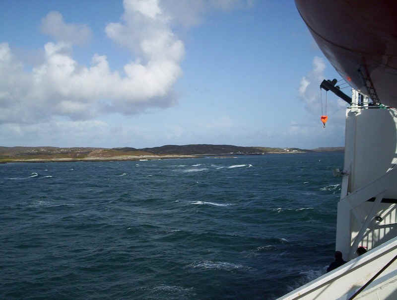
Our route to Gigha and Islay
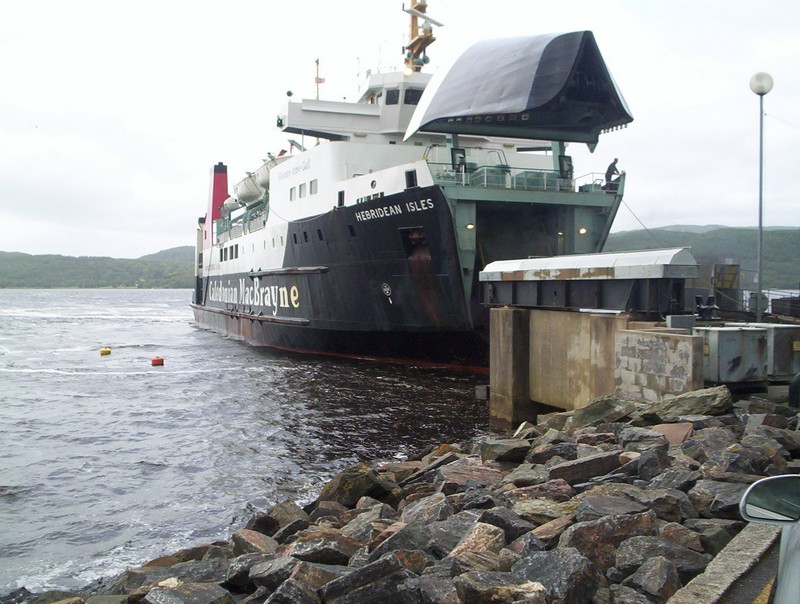
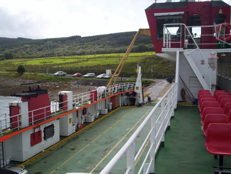
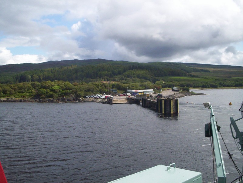
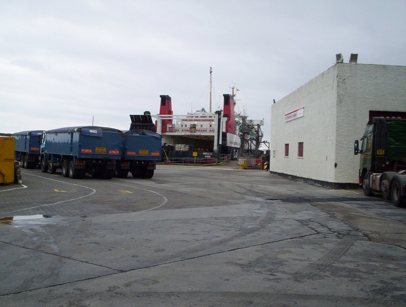
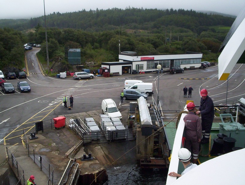
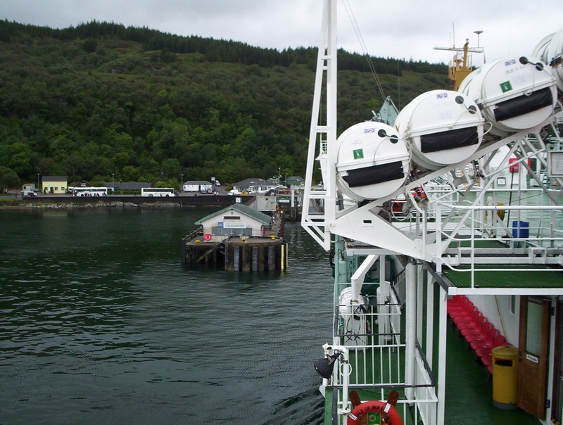
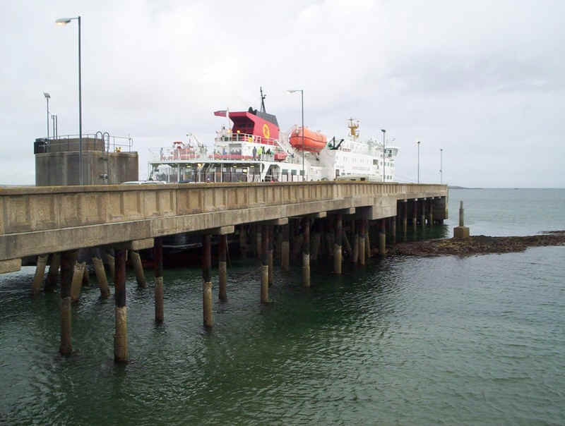
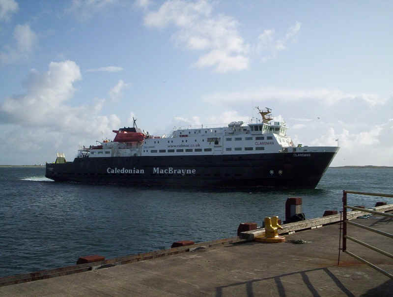
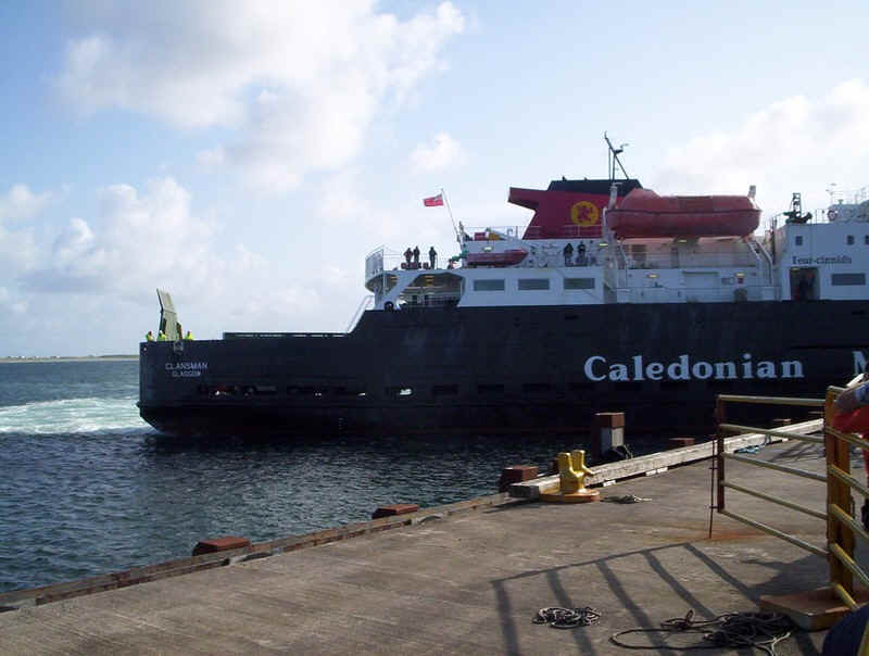
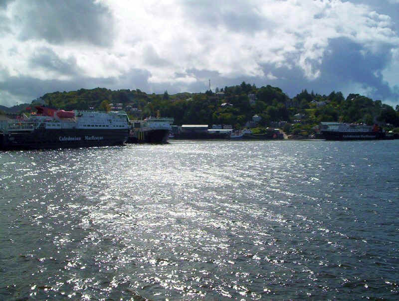
The "Hebridean Isles" berthed at Kennacraig after crossing from Port Askaig on Islay. The ship's bow thrusters were causing problems in berthing and the ship was over half an hour late, delaying the coach connections to Glasgow and Campbeltown.
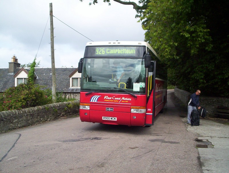
Our bus from Tarbert set us off in the village at Tayinloan where we had to walk down to the ferry slipway.
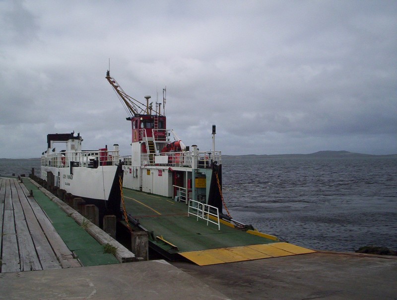
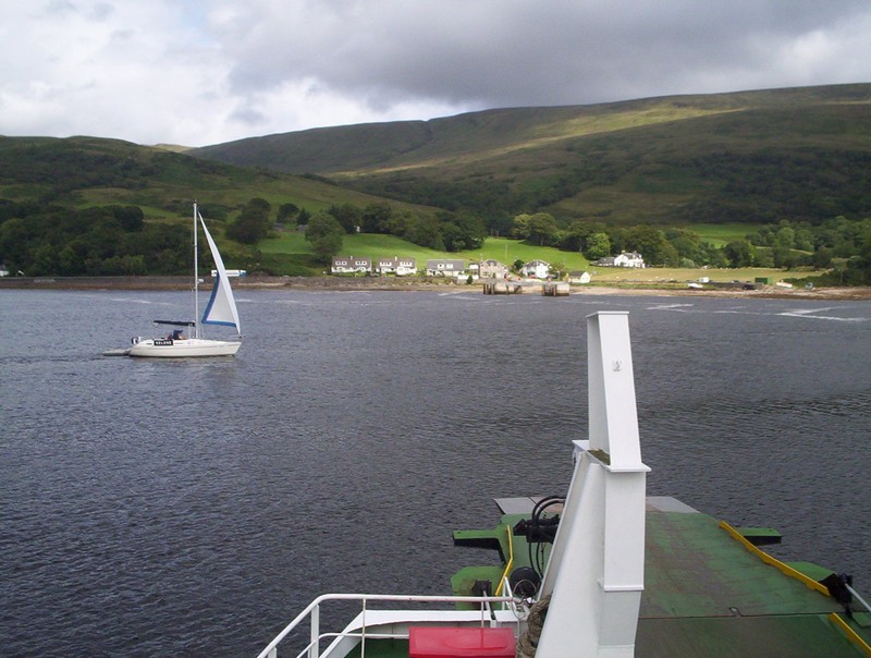
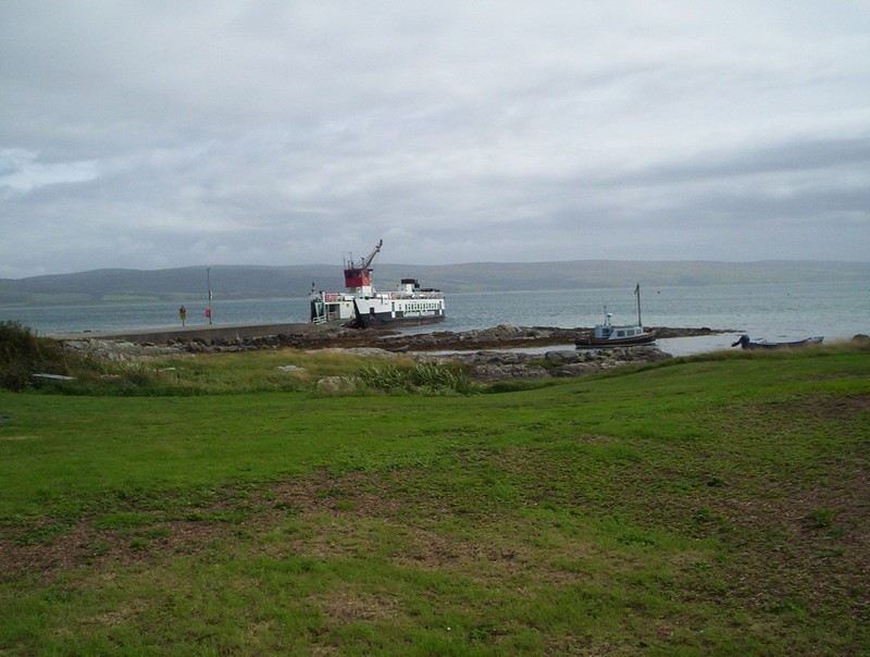
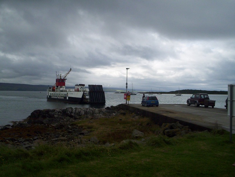
"Loch Ranza" was the ferry from Tayinloan to the Isle of Gigha.
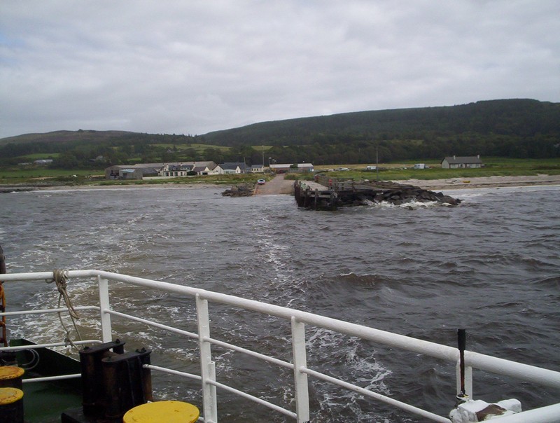
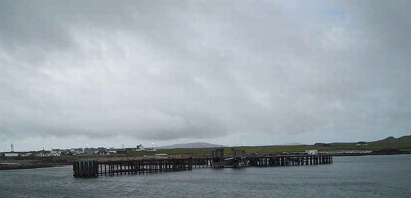
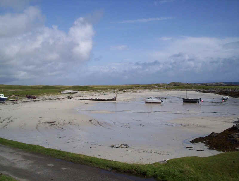
Tayinloan slipway
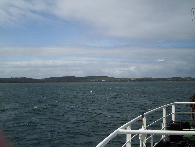
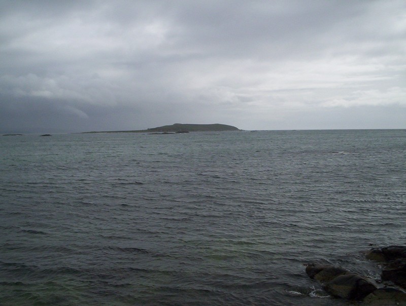
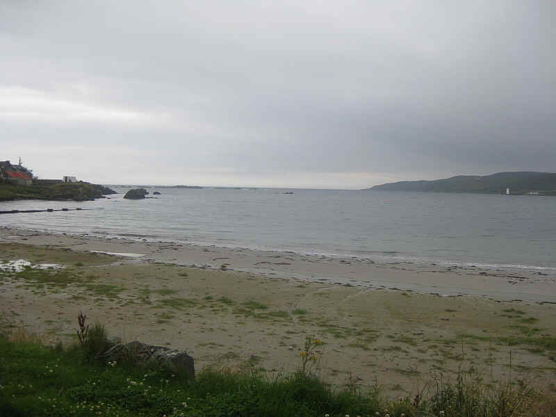
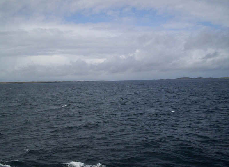
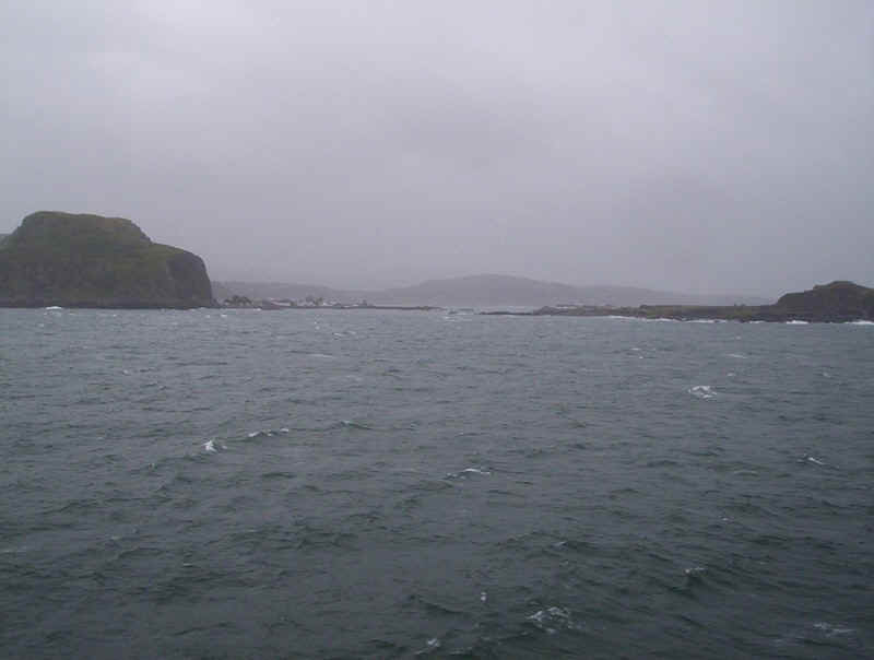
Gigha across the Sound of Gigha
The slipway at Ardminish with Kintyre across the water.
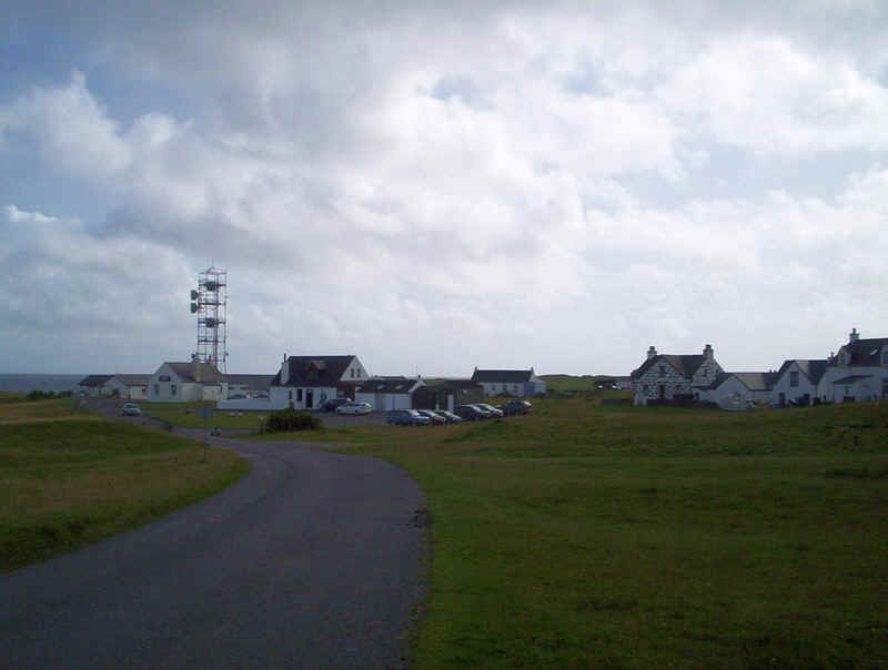
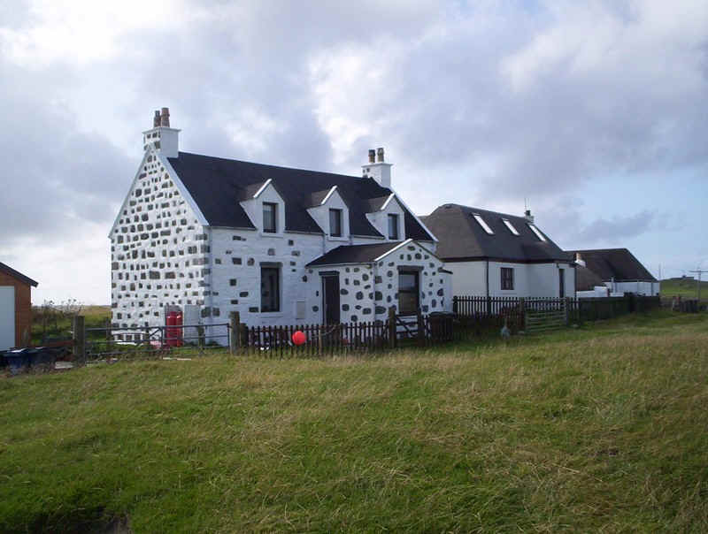
Ardminish.
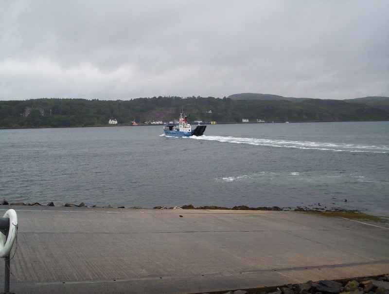
The ferry heads back to the mainland.
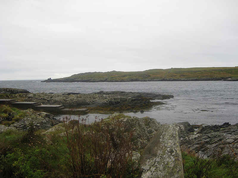
We went for a walk to the south end of the island. In the distance is Gigalum Island.
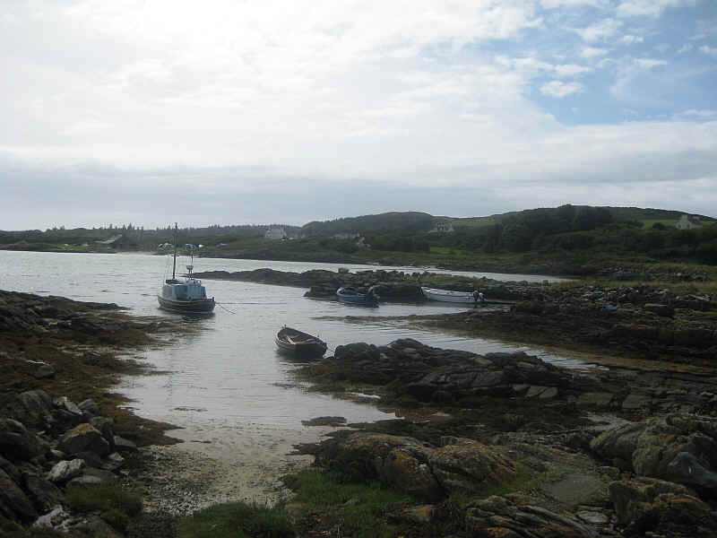
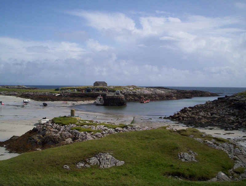
The old pier at the south end of Gigha is where the ferry ties up at night.
Gigalum Island or, in Gaelic, Eilean na h-Uilinn
Monday 17th August 2009
After a stay at the Gigha Hotel we left for Islay.
Across the Sound of Gigha.
The "Loch Ranza" again.
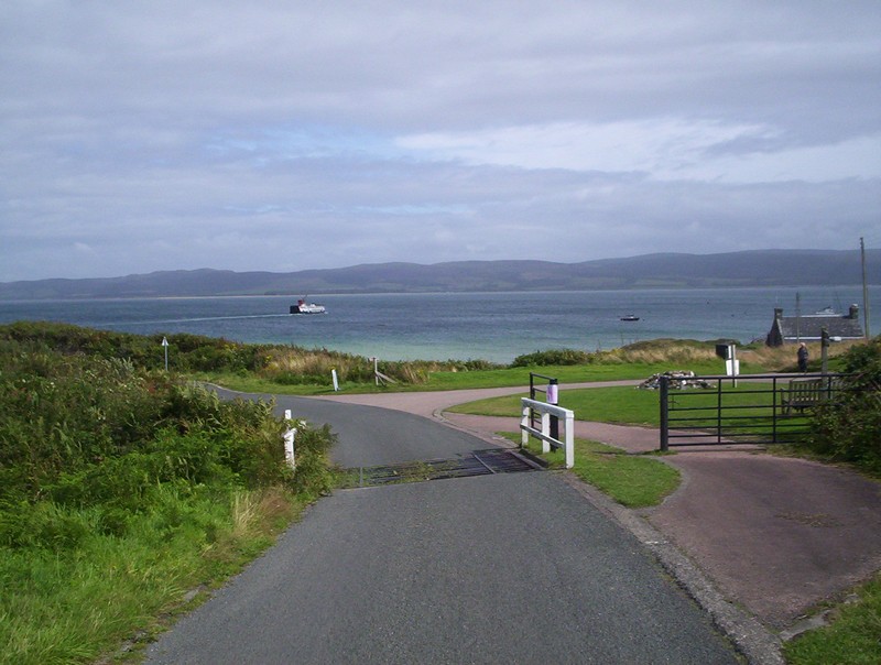
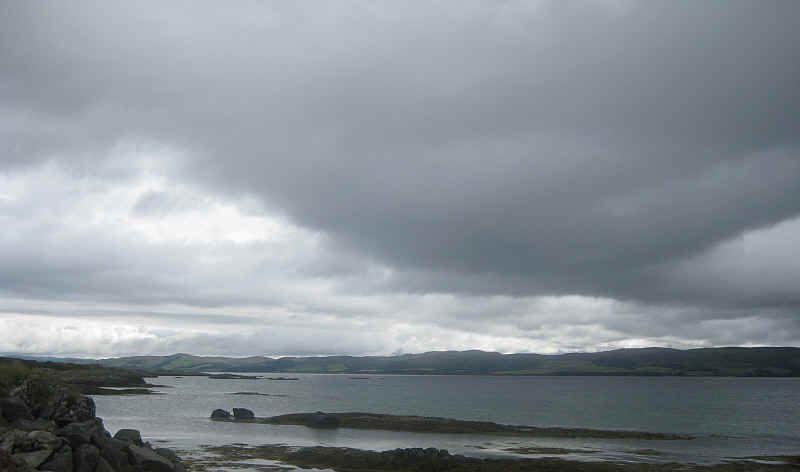
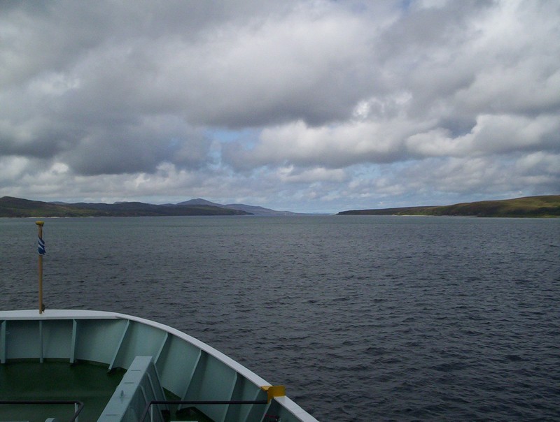
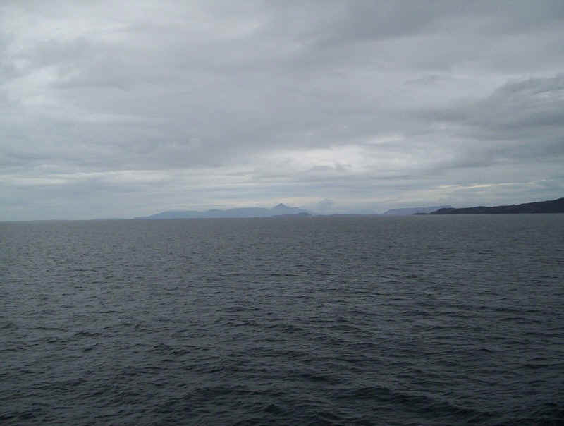
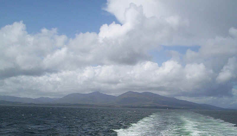
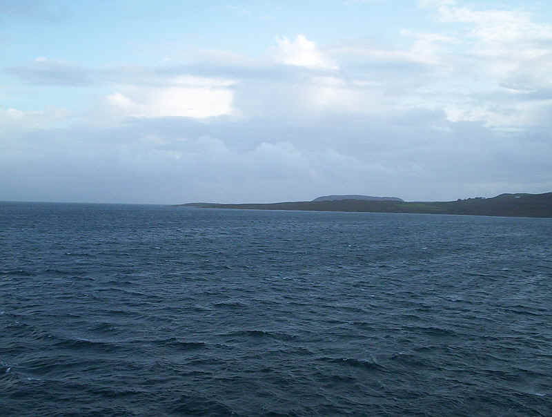
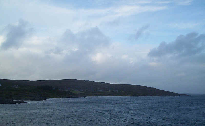
Gigha from Tayinloan with the hills of Islay and Jura in the distance.
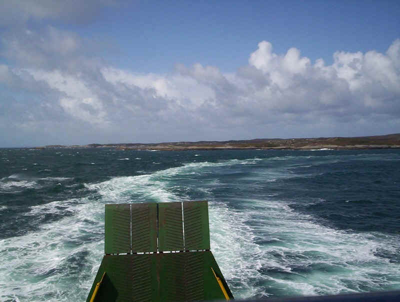
Leaving Kennacraig on the "Hebridean Isles".
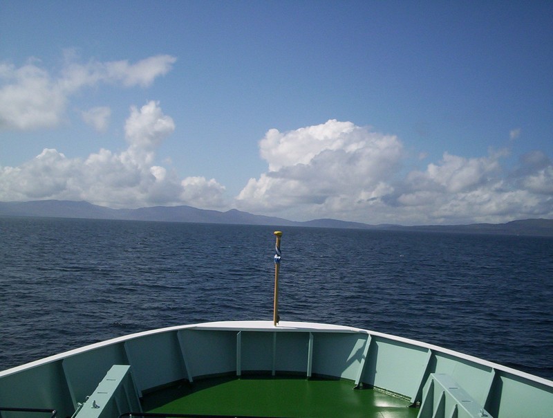
The "Hebridean Isles" has a promenade deck around the front of the ship, which makes it a marvelous vessel to take photo from, unlike many of Calmac's ships, which have no forward view from outside the covered accommodation.
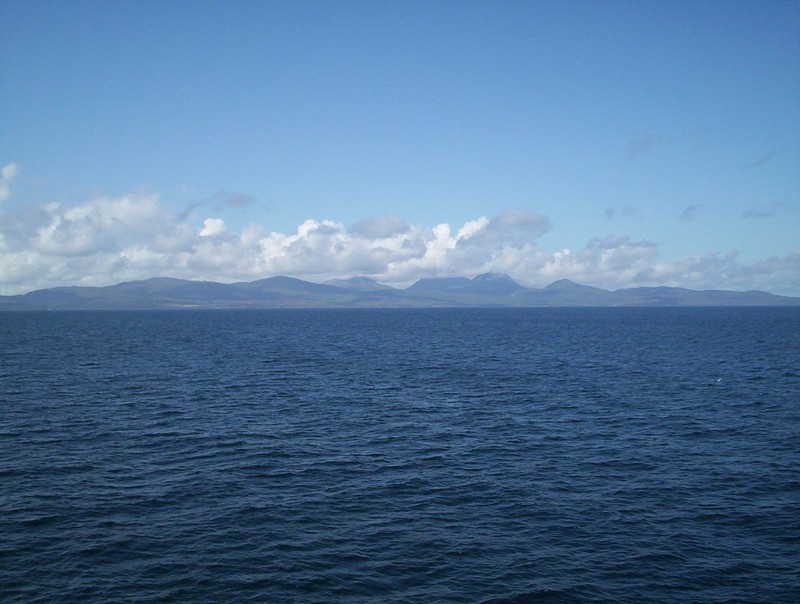
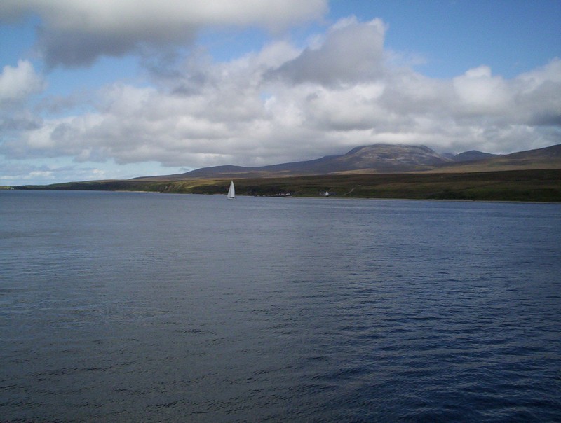
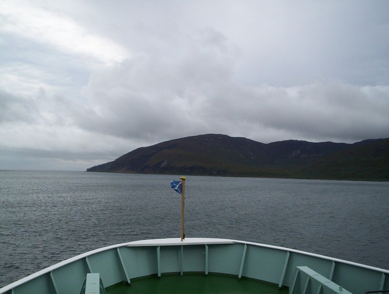
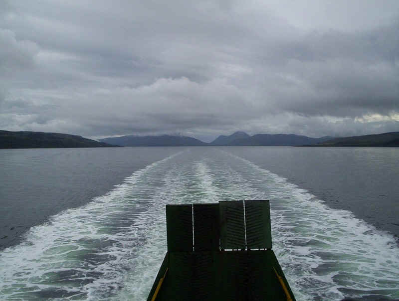
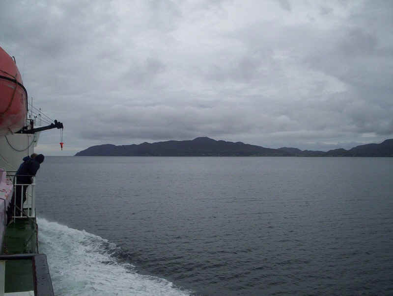
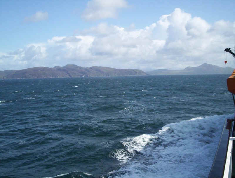
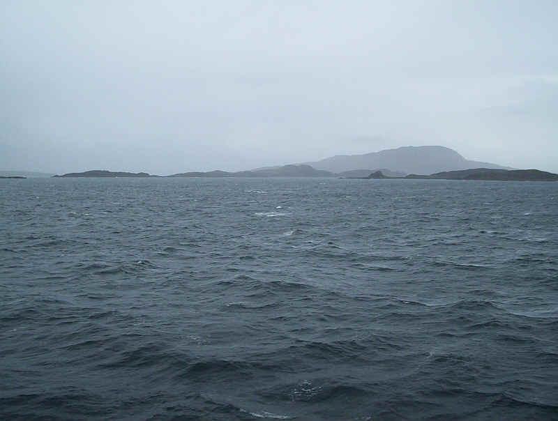
Jura with the three Paps, sadly covered in cloud. This was the only time we had a good view of Jura.
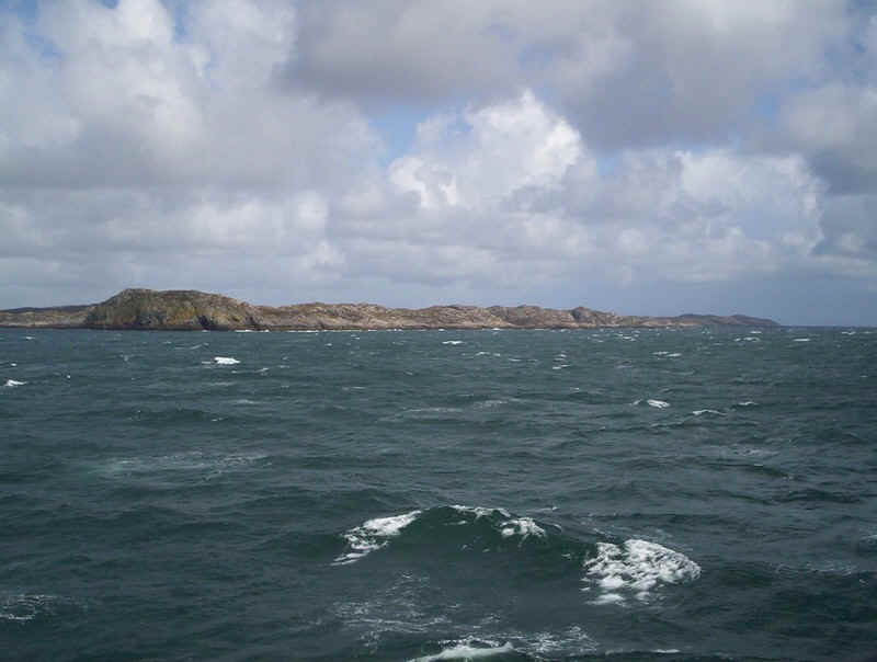
Approaching the entrance to the Sound of Islay, with Islay on the left and Jura on the right.
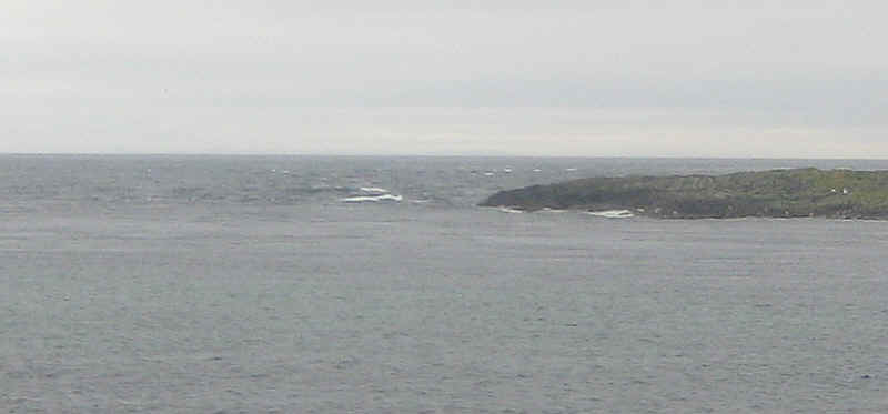
The cliffs of Mcarthur's Head dominate the entrance to the Sound of Islay.
Approaching Port Askaig, the island of Colonsay can just be seen through the end of the Sound.
Far in the distance the island of Mull appears.
Jura from Port Askaig - still no view of the summits.
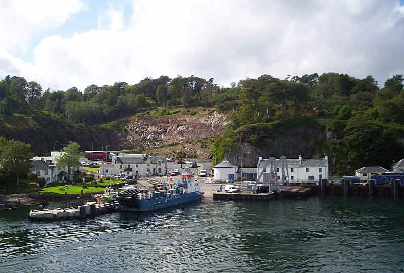
Port Askaig with the ferry to Jura. Our journey continued to Bowmore by bus.
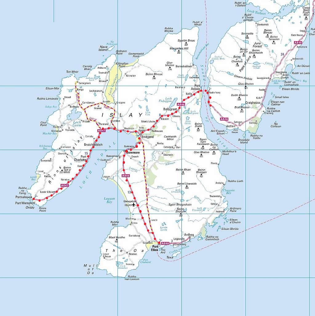
Our route on Islay and Jura
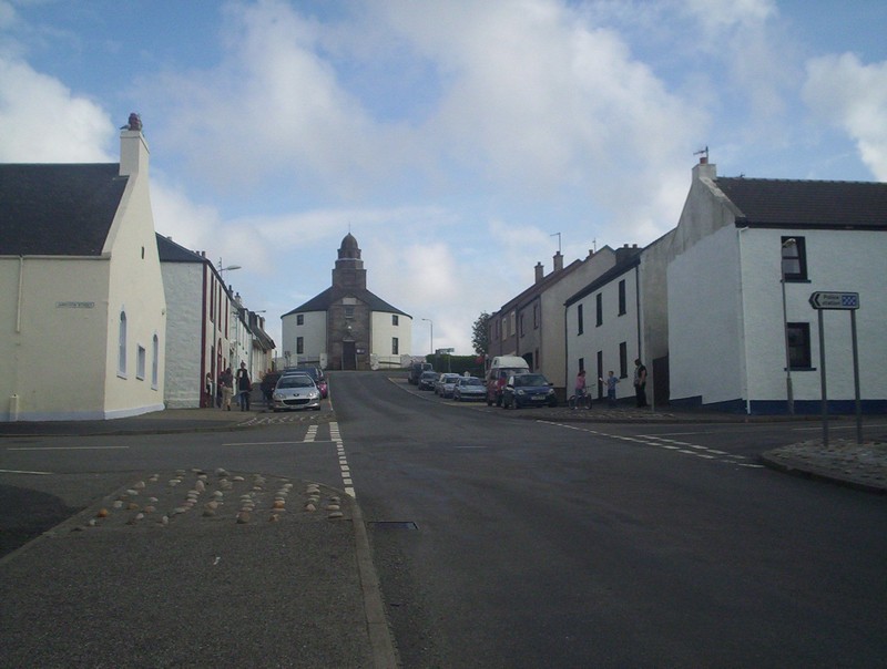
The Round Church dominates the main street in Bowmore.
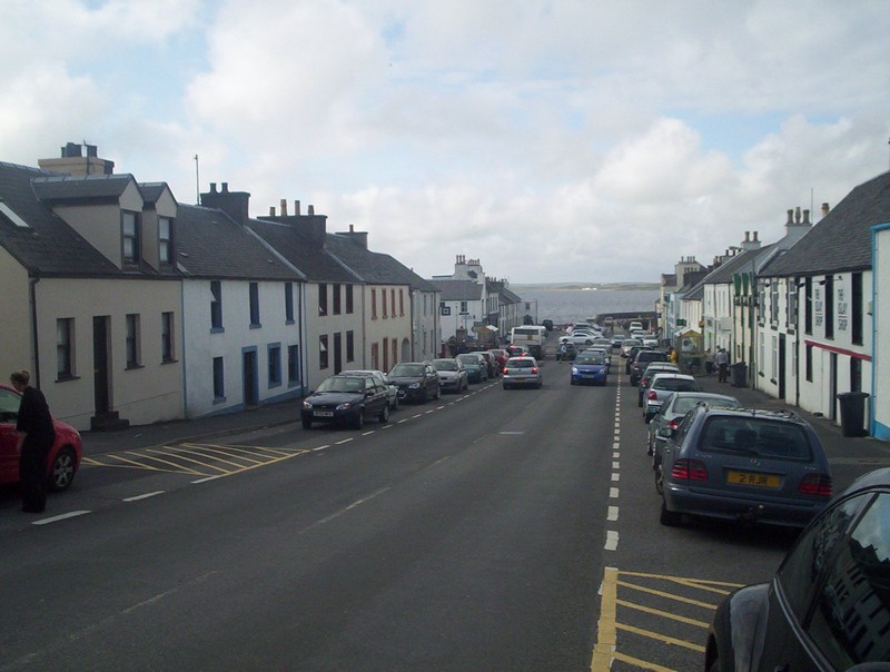
Main Street, Bowmore.
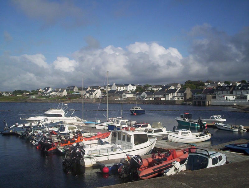
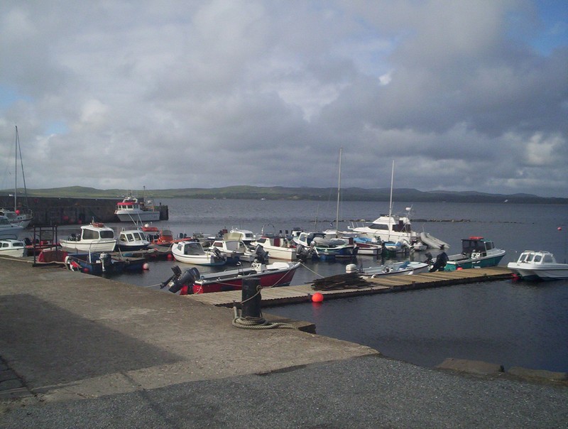
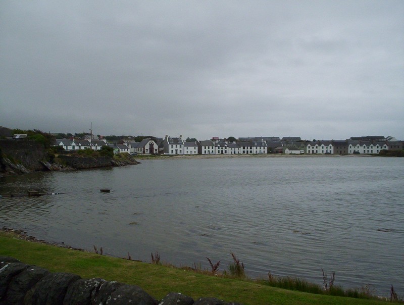
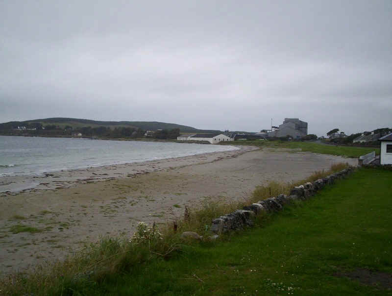
The fishing harbour and marina at Bowmore with Loch Indaal beyond.
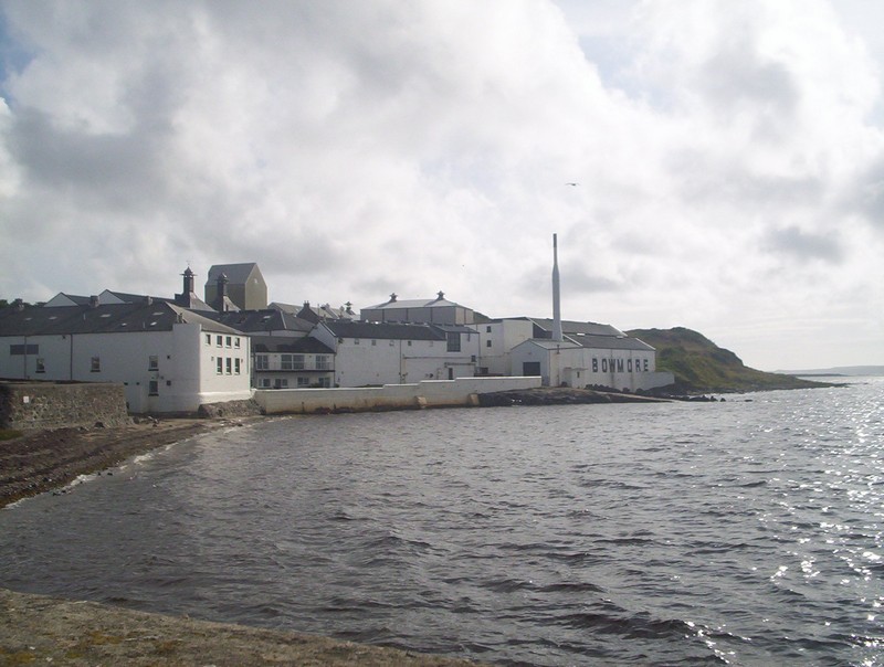
Islay has no fewer than eight distilleries; here is "Bowmore".
Tuesday 18th August 2009
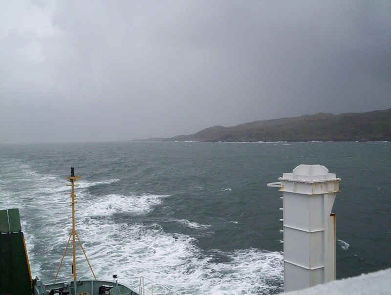
The weather deterioated on Tuesday with rain and wind. We'd caught the bus to Port Askaig and took the ferry "Eilean Dhura" (Isle of Jura) across the Sound to Feolin. Time didn't allow us to take the bus up to Craighouse, so we contented ourselves with a walk along the road for a couple of miles. Interestingly, the Jura ferry uses the main Calmac linkspan when the big ferry isn't due. Accommodation for foot passengers on this ferry is appalling; an open bus shelter is all that is provided. The crossing may be only five minutes but in really bad weather you could be completely soaked.
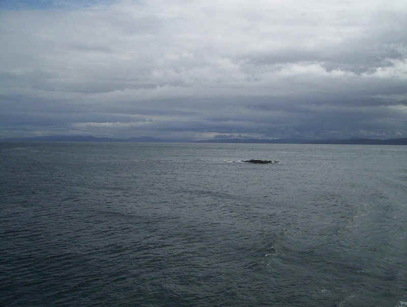
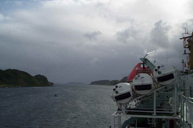
The view from the ferry crossing the Sound looking towards McArthur's Head; wet, windy and choppy!
The ferry heads back to Port Askaig; at least there's a sailing every half hour.
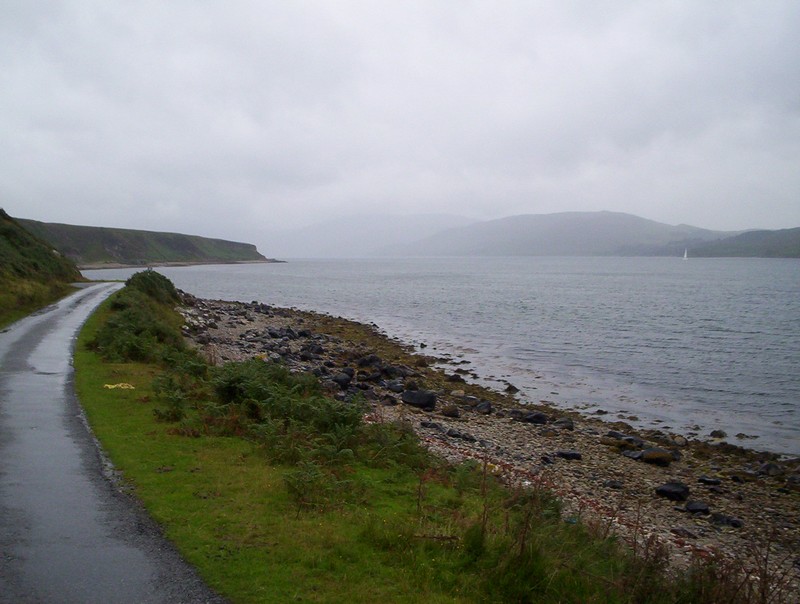
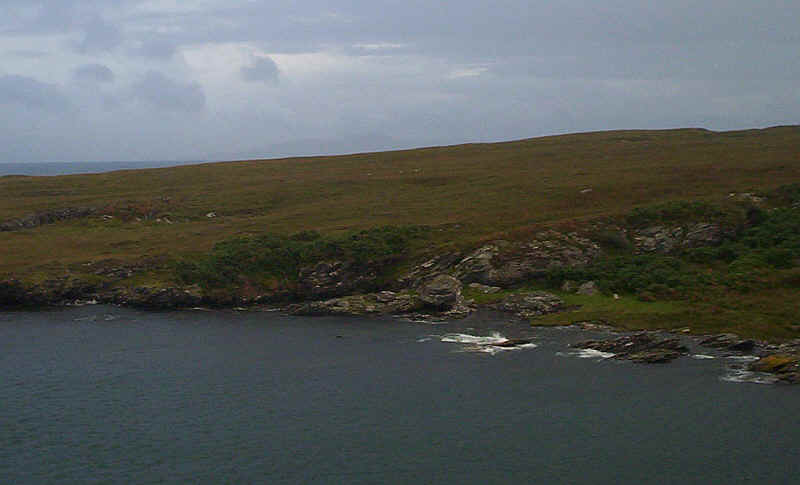
The single track road follows the shore for the first few kilometres.
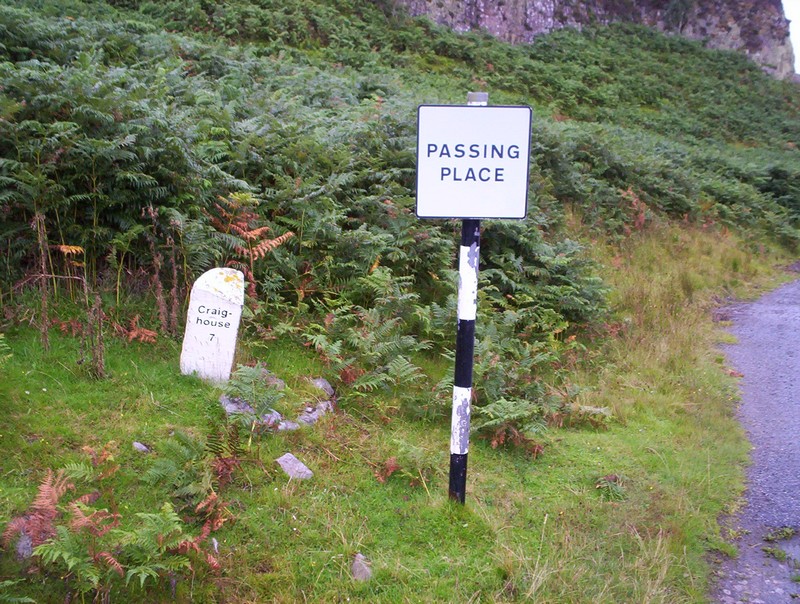
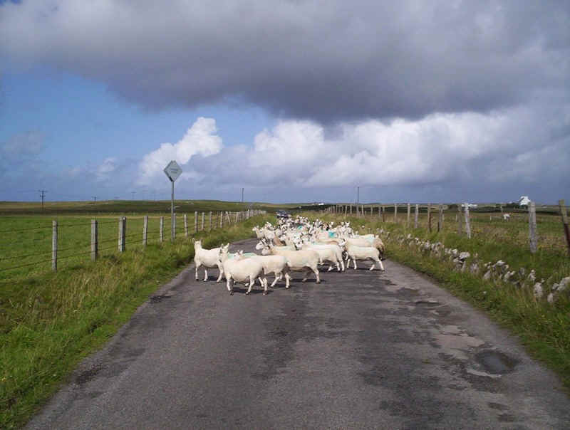
Seven miles to the principal settlement on Jura, Craighouse. Jura is obviously a wild place and evidence shows that the deer clearly come down to the road!!!
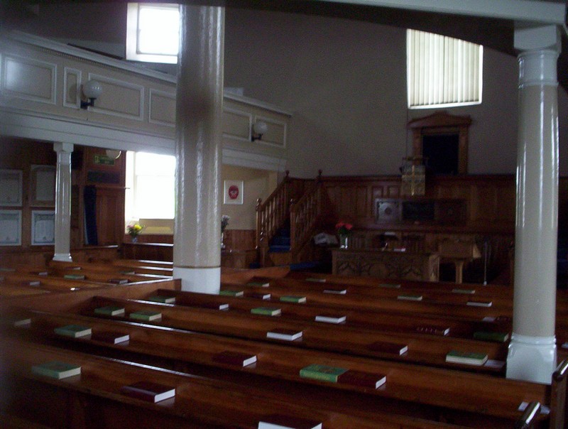
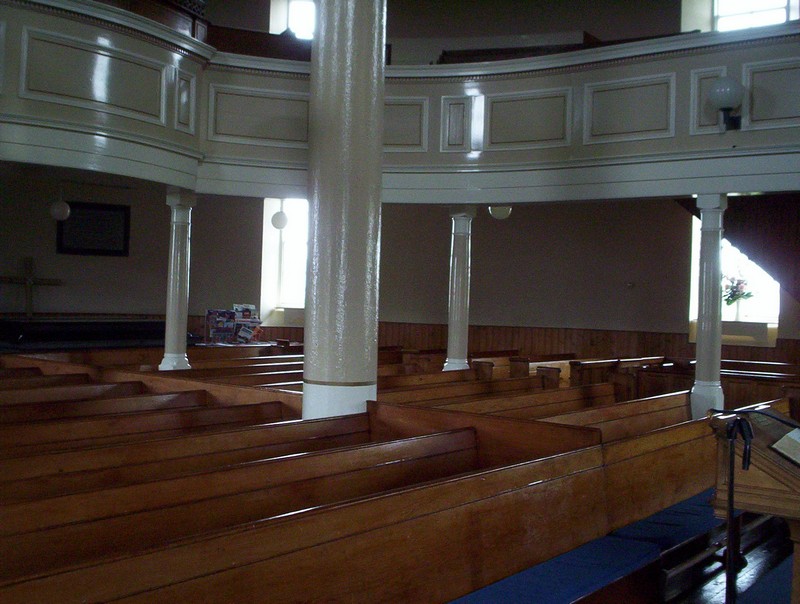
Back at Bowmore at lunchtime we paid a visit to the Church of Scotland's parish church built in a circle, so the story goes, " so the Devil has nowhere to hide".
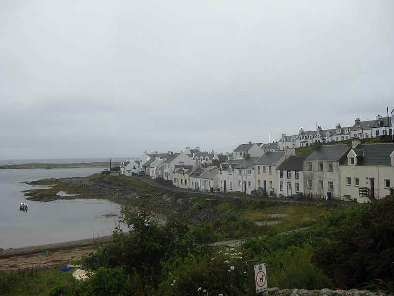
In the afternoon we took the bus from Bowmore to Portnahaven on the south west tip of Islay.
It was almost like a ghost village with hardly anybody about, perhaps not surprising in view of the weather.
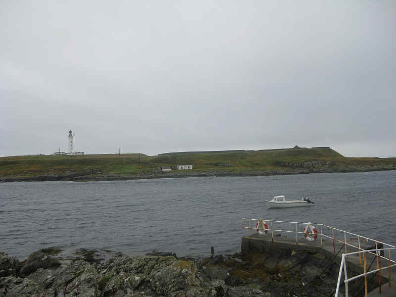
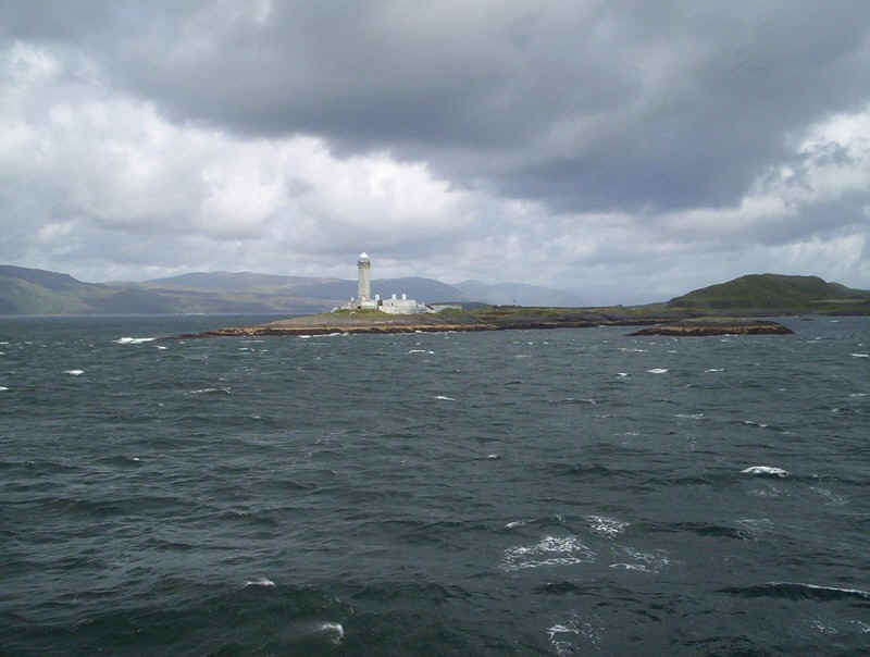
Across the water from Portnahaven and its twin village of Port Wemyss is the island of Orsay, with its lighthouse.
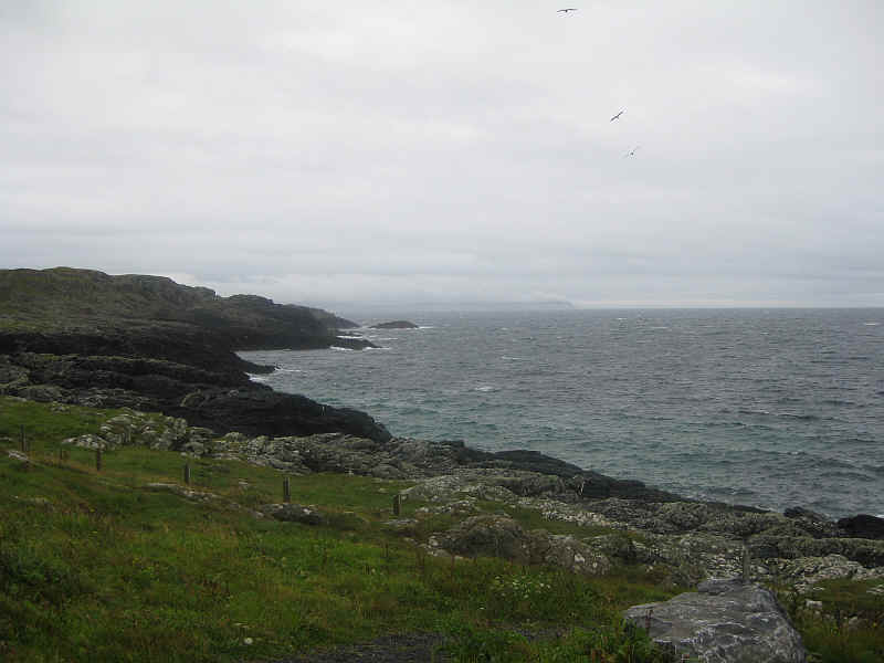
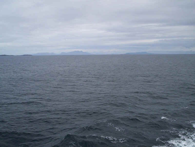
Looking south east is Rhinns Point and, in the middle distance, the cliffs at Oa on the southern tip of Islay. In the far distance can be seen the Mull of Kintyre near Campbeltown.
Whilst we were at Portnahaven the weather improved and visibility became excellent. We could see the hills of Antrim in Northern Ireland, which we'd hoped to see but a real surprise was in store for us. Over to the far south west was, what appeared to be an isolated and obviously hilly part of Ireland. A woman confirmed it was actually the hills of County Donegal, about 60 miles away. A few minutes later both our mobile phones received text messages from Vodafone.IE welcoming us to the Irish Republic.
Look closely just above the tip of the land in the centre of the photograph and you can just make out the outline of the hills of Donegal.
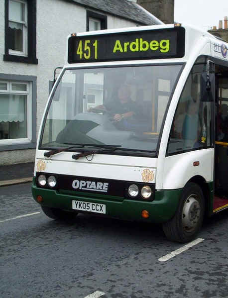
Then it was back on the bus to Bowmore for the connecting service to Port Ellen and Ardbeg. Here the bus is en route to a village famous to whisky drinkers.
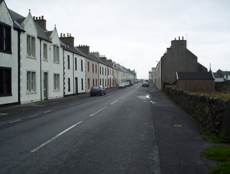
Port Ellen is the second town of Islay and is very much a planned settlement.
There is an attractive waterfront street...
.....a small fishing harbour....
......and a pretty unpleasant ferry port. This is the foot passenger's view as you approach the terminal. In truth Port Ellen is the major freight terminal for the island, but it feels like walking in an industrial zone.
Kilnaughton Bay at Port Ellen.....
.....has Port Ellen's maltings and the closed distillery at its head.
Wednesday 19th August 2009
The entire holiday had been planned around the once a week ferry from Port Askaig to Oban, which would allow us to travel via Colonsay. On arrival at Port Askaig I felt something wasn't quite right - not enough traffic queuing for the ferry. On asking at the office my fears were confirmed; the master of the "Hebridean Isles" wasn't prepared to try and berth at Colonsay without a bow thruster.
We were offered two choices. Go on the revised ferry schedule back to Kennacraig and then by taxi or bus to Oban or wait until the "Lord of the Isles" arrived from Oban at 19.50. There really was no contest.
So we boarded an lightly loaded ferry back to Kennacraig. However, before departure we experienced something we wouldn't otherwise have seen. A basking shark appeared in the Sound of Islay and swam around the ship for several minutes, much to the interest of the officers on the bridge. Sadly, we were too engrossed in watching it to take a photograph.
Yet another distilery at Caol Ila.
Off to Kennacraig again....
..... with Gigha on the starboard....
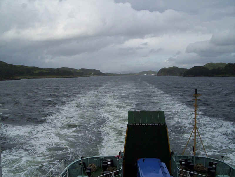
.....and up into West Loch Tarbert
Looking back down the loch towards the sea.
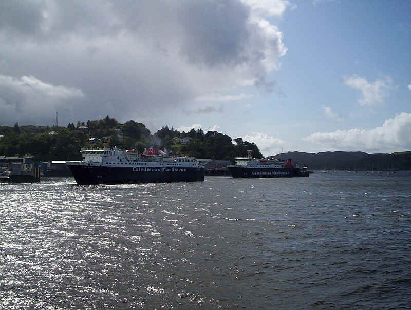
The "Isle of Arran" leaves Kennacraig for Port Ellen...
....and turns around almost in its own length; a handbrake turn?
As the ship had no bow thrusters berthing was a slow and seemingly rather delicate process, which involved pressing the ship's side against the end of the quay to allow it to turn onto the linkspan.
Safely berthed but "where's our coach?"
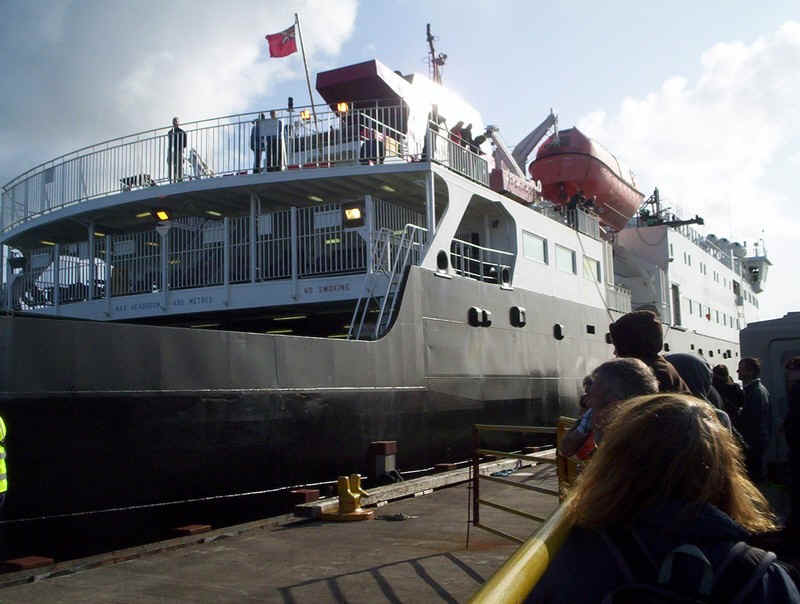
Now we experienced what can only be described as a "bit of a mess up". Port Askaig had informed Kennacraig that there were six foot passengers and three bikes, but there were actually eight passengers. The mini-bus turned up soon after we berthed and, fortunately, the driver was an affable sort who quickly decided we were all going with him. It was an eight seater but the bikes had to be pulled apart to fit in the boot.
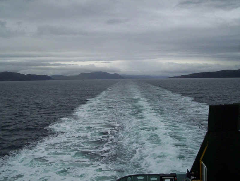
Soon we were on our way to Oban via the main road to Ardrishaig and Lochgilphead. Fortunately, he was a good driver and rarely exceeded 40mph so the journey was almost pleasant.
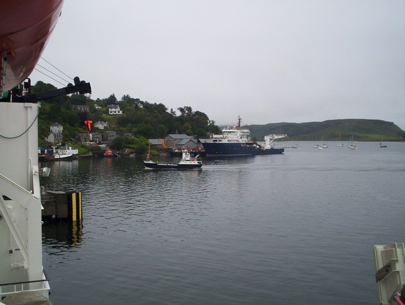
Our arrival in Oban allowed us to see the "Lord of the Isles" depart on its special sailing for Colonsay and Port Askaig. We were just glad to be in Oban but, having expected a four hour sailing, felt the need for another ferry journey! The "Isle of Mull" was due to sail for Craignure so we boarded it and for the first time on the Craignure route experienced a slightly lively crossing.
Duart Castle on Mull
Mull doesn't look very appealing for walkers today.
Berthing at Craignure
Back at Oban the Lismore ferry "Eigg" arrives back from its afternoon run. Behind is the Northern Lighthouse vessel "Pharos" built in 2007. It's the tenth ship of this name; every ship owned by the Northern Lighthouse Board since 1799 has carried the same name.
Thursday 20th August 2009
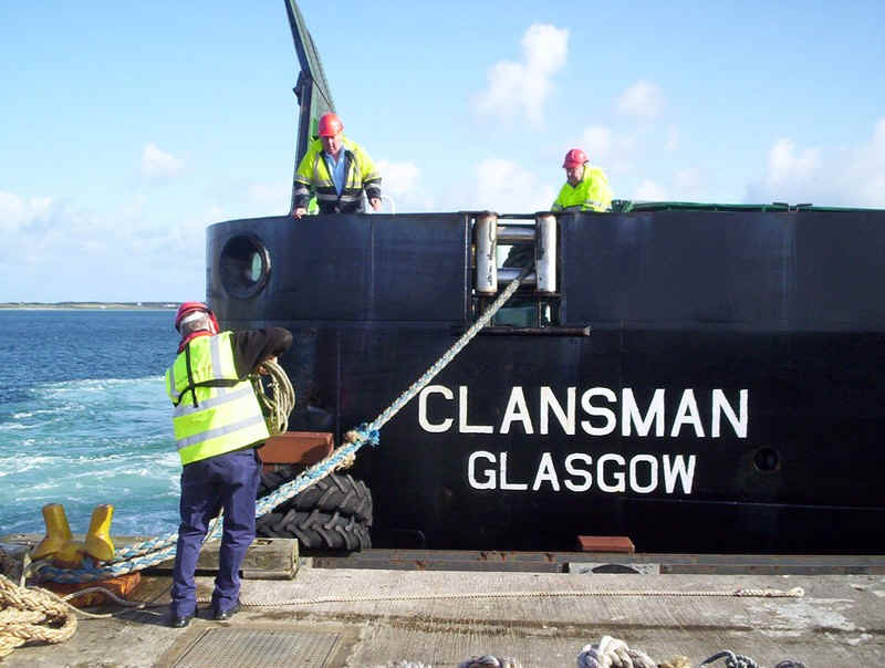
This day's journey was out to Tiree on board the "Clansman", leaving at 08.30 for Colonsay, Tiree and Barra. The weather forecast wasn't good and the wind was Force 5 to 6, so a lively crossing was expected.
Our route from Oban to Craignure and to Tiree through the Sound of Mull
When we boarded the ship, I'd noticed the Lord of the Isles had been stationed outside of Oban harbour, presumably to allow the 07.00 to Craignure and the 08.30 to Barra space at the linkspans before berthing for its 09.00 sailing to Colonsay.
Leaving a rather wet and dull Oban behind.
After the disappointment of losing all the photos I took in May 2009, when sailing through the Sound of Mull, I was hopeful that, this time, I might be more lucky. The clouds were low and the sky a bit grey but, as usual, the drama of this section of the journey impressed. The ship's wake shows that the master was giving some yachts a very wide berth on this rather windy day.
The hills of Mull above Salen...
.....and in the distance Beinn Talaidh (761m)
Tobermory and its harbour are passed and....
....a little further Ardnamurchan Point, the most westerly point on the mainland of Britain.
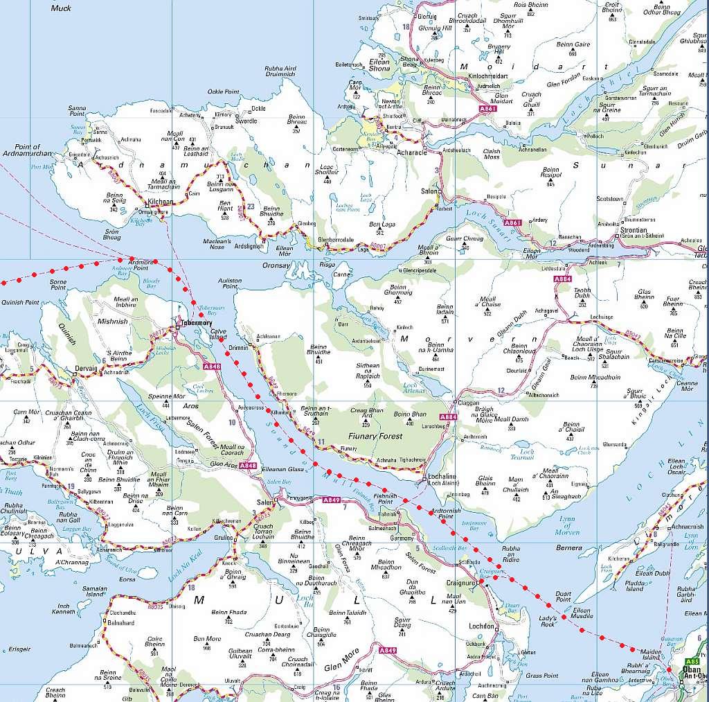
Our Route from the Sound of Mull to Colonsay and Tiree
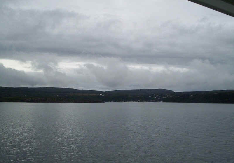
The end of the Sound of Mull and, in the distance, Coll can just be seen on the horizon. It's obvious that the weather is a lot brighter out west.
Ardnamurchan Point
Another view we'd been hoping for; the "Small Isles" of Canna, Rum, Muck and Eigg.
|
Coll appears a little closer....
......whilst at the other end of the ship Mull retreats into the distance. As can be seen there was quite a swell but sitting drinking double espressos in the sheltered outside area of the "Clansman" was most relaxing.
A different view of the Small Isles with Rum and Eigg visible.
The "Clansman" ploughs on at 16 knots towards Coll. This ship has an impressive bow-wave when travelling at speed.
Coming into the pier at Scalasaig on Coll.
Mull and the mainland from Coll.

Scalasaig pier and linkspan.
Two views of the Treshnish Islands - Ulva in the centre and Fladda to the right.....
....whilst the curious and distinctive Lunga lies further south.
Passing the Gunna Sound between Coll (on the right) and Tiree.
The pier at Gott Bay on Tiree.
The "Clansman" at Gott Bay pier.
The old harbour at Scarinish is still used by a few fishing boats.
At low tide the remains of the "Mary Stewart" sailing ship, which last sailed in 1942, can be seen.
On the way from Scarinish to the west coast of the island we encountered this flock of sheep being herded along the road. They took one look at us and turned back, much to the consternation of the farmer who was following them in his car.
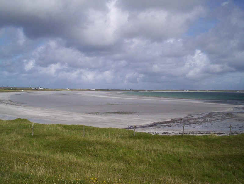
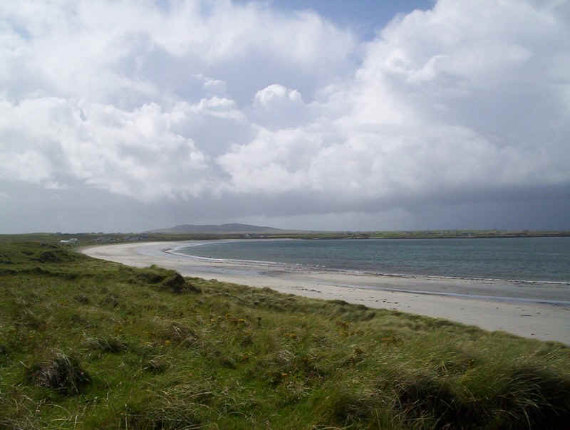
Traigh Mhor beach at Gott Bay looking towards Kirkapool township.
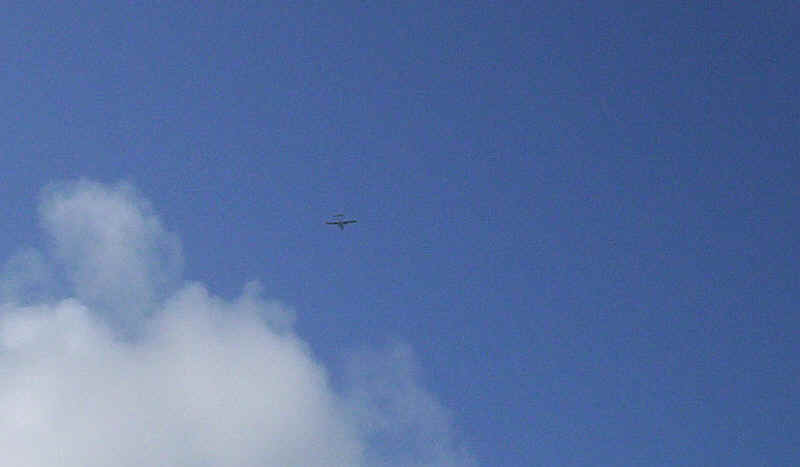
The plane to Barra heads west.
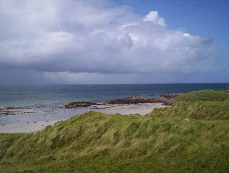
A walk of a few miles along the road led us to the Atlantic coast at Balephetrish Bay, a popular place with surfers. In the distance is Beinn Hough with its golfball air traffic radar station.
The Atlantic Ocean
Scarinish village with its British Telecom mast, supermarket and....
.....curiously decorated houses...
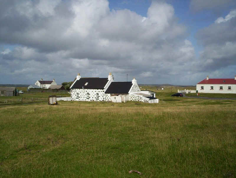
... almost like dalmatians.
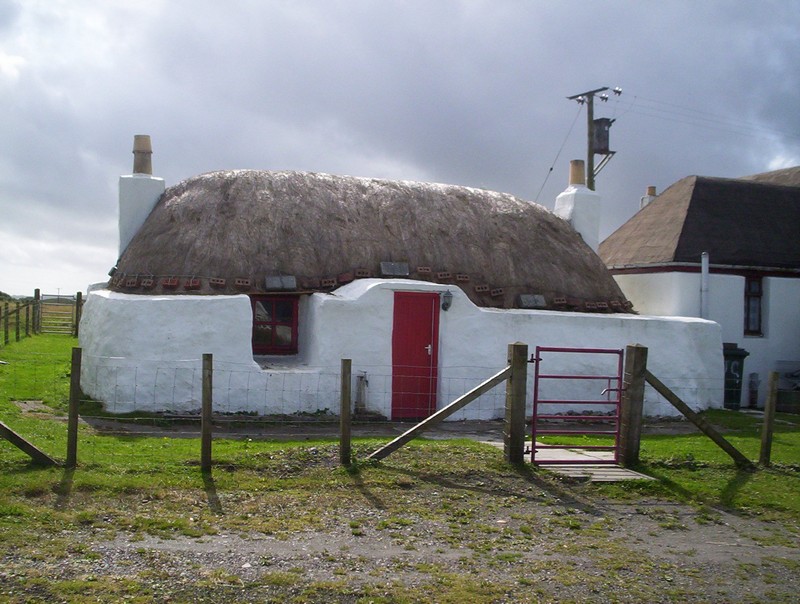
A thatched, former blackhouse, cottage.
Friday 21st August 2009
After a pleasant stay at the Scarinish Hotel we left Tiree for Oban on the morning ferry, which was running somewhat late due to the amount of traffic. Our original plan had been to return to Oban and then go to Lismore. However, having missed the sailing via Colonsay we decided that an evening cruise to Colonsay and back would be a fitting ending to our holiday.
It was noticeable that foot passengers set off on the long trek down the pier well before the ship berthed. At least there's a good shelter for foot passengers.
At 99m long the "Clansman" is a big ship, and it's interesting to notice how it's berthed at the different ports. At Tiree the ship loads at the stern so that vehicles can drive off at Oban. Berthing is a much slower business here than at Coll, where the ship simply turns around and goes in astern. At Tiree the ship turns.......
......pulls roughly half way down the end of the pier....
.....and then swings round parallel to the pier.....
.....and then backs up to the linkspan.
A large number of sheep transporter lorries left the ship, no doubt the reason for the ships late arrival. As we'd heard the schedules of Calmac ferries were to be seriously altered as a result of the sheep and cattle market being held on Tiree later that day.
One thing that is obvious on the ferries is the acceleration of the ships as soon as they have left the piers. Here the crew are stowing the hawsers away neatly.
Once again there was quite a swell out in the sea as the ship left Tiree behind.
Approaching Coll.
...and another very quick departure, loaded with a large number of young people from a residential centre for overseas voluntary work.
The rocky north end of Coll .....
.....and at last I've some good weather for photos in the Sound of Mull.
Ardnamurchan on the right, Mull on the left.
The Kilchoan to Tobermory ferry "Loch Linnhe" nears Tobermory harbour.
The "Loch Fyne" on the Lochaline to Fishnish route.
Dunn da Goithe (766m) and Sgurr Dearg (741m) on Mull
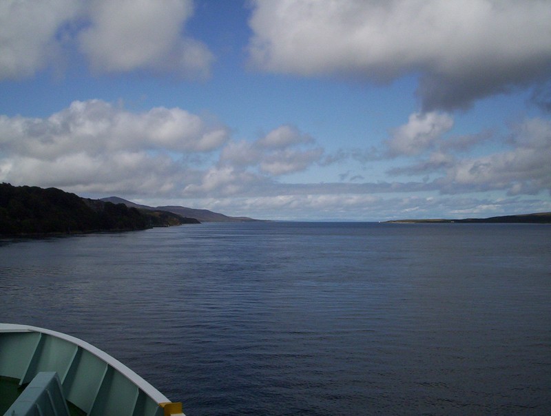
A last look back westwards along the Sound of Mull, surely one of the great journeys of Britain.
The lighthouse on the end of Lismore
Today the hills of Mull look much more appealing to walkers than yesterday.
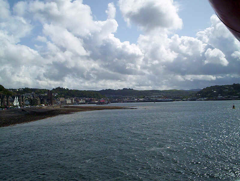
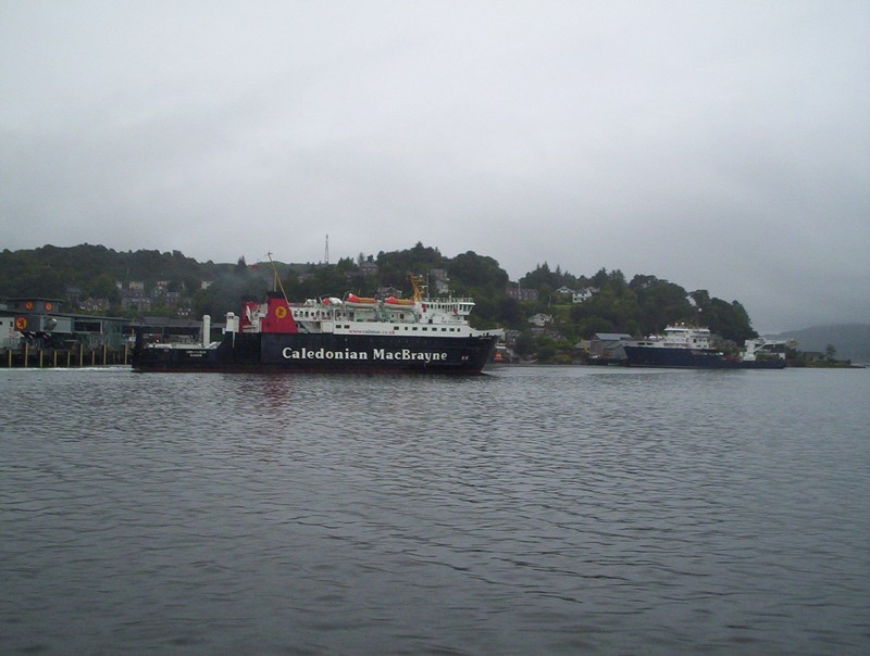
Oban harbour in the sunshine.
The Sound of Kerrera, our route for this evening.
Interesting events at Oban: all three of the "big" ships in Oban harbour at the same time.
On this Saturday the "Clansman" was needed to transport sheep and cattle from Tiree. This meant some alteration to sailings all of which seemed to be running late. The "Clansman" arrived, with us on board, half an hour late from Tiree and Coll. It then took over the Craignure sailings of the "Isle of Mull" for the rest of the day before sailing out to Tiree and back overnight.
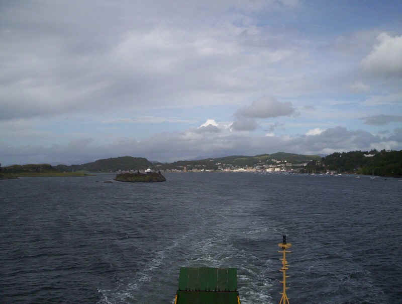
Here, on the left, is the "Clansman" sailing nearly half an hour late for Craignure. Meanwhile, the "Isle of Mull" ( seen in the middle) is waiting to move from its normal berth onto the one that the "Clansman" is about to vacate. It finally left for Barra over an hour late on the "Clansman's" schedule. Of course, the "Isle of Mull" is slower than the "Clansman" so its revised schedule showed an arrival time back in Oban at 01.30 - probably more like 02.30 given the delayed departure. Pity the poor passengers who thought they'd be in Oban for 23.40 ; and all for the sake of a lot of animals.............
Waiting for the "Isle of Mull" to move off the berth is the "Lord of the Isles", which has arrived almost on time from Barra and South Uist.
The "Isle of Mull" moves on to its new berth ready to load vehicles for the sailing to Castlebay on Barra. "The Lord of the Isles" can now berth.
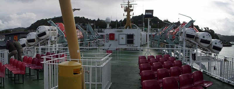
The outside accommodation on the "Lord of the Isles" is on the open top deck; great in good weather but perhaps the more sheltered rear decks of the "Clansman" are better in bad weather.
Vertigo sufferers might also find the steep staircases and big drops slightly unnerving, especially in a wind and rough seas.
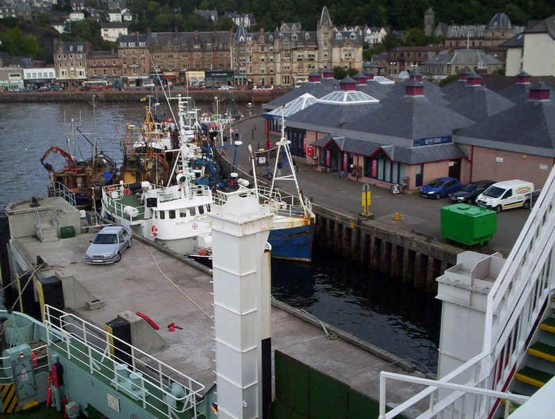
The side loading ramps with their towers don't see a lot of use nowadays. It's good to see lots of fishing boats in Oban harbour.
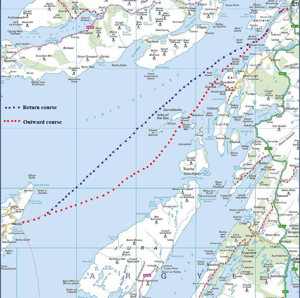
Our route from Oban to Colonsay
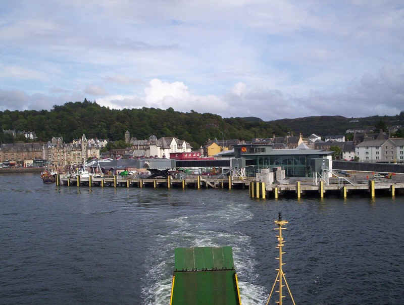
Leaving the new terminal on the 17.00 for Colonsay.
The entrance to the Sound of Kerrera.
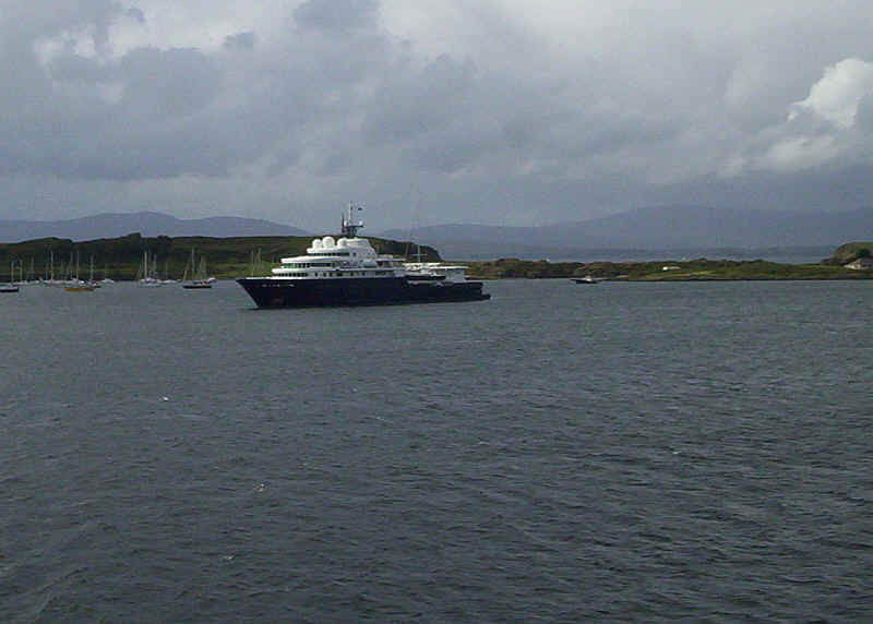
The somewhat hideous "Le Grand Bleu" private "yacht" (complete with helicopter) had been anchored in the Sound of Mull, but had come into Oban for the evening.
Clearly the weather was going to be unkind to us.
A last look back at a sunny Oban.
The ferry boat terminal on Kerrera.
The southern end of Kerrara.
Already the sea is becoming distinctly choppy before we leave the Sound.
To the east lies the island of Seil, which is separated from the mainland by only the narrowest of channels at Clachan Bridge.
Insch Island lies to the west.
Another view of Seil with the heavy swell very obvious.
The settlement at Easdale, on Seil, lies on the north side of Easdale Sound, which separates it from the small island of the same name.
The small island of Luing (in the centre of the photo) is separated from Seil by the Cuan Sound (on the left). To the right is Lunga and in the distance the much higher summit of Scarba island.
http://www.youtube.com/watch?v=8lA5az6ucG8
Presumably because of the sea condition the ship sailed close to the islands on the outward voyage. Here are the Garvellachs, or Islands of the Seas.
Two hours after leaving Oban we were off Colonsay, still in quite a swell.
Approaching Salasaig on Colonsay
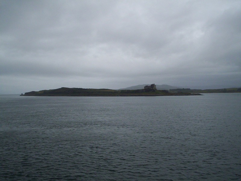
Peeping over the southern tip of Colonsay is the uninhabited island of Oronsay.
The pier and linkspan at Colonsay, as we arrive nearly half an hour late, due to "weather conditions". Over 30 vehicles left the ship including the Council rubbish lorry and another 25 came aboard. The tide was so high that the foot passengers had to disembark via the linkspan.
Rush hour is about to come to Colonsay as the "Lord of the Isles" backs on to the linkspan.
A view north along the coast of Colonsay
Just visible above the hillside is the northern end of Islay.
It was dark soon after leaving Colonsay and the surprisingly well loaded ship settled down for the journey back to Oban. The ship took a course further out to sea and we arrived virtually on time.
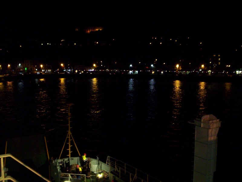
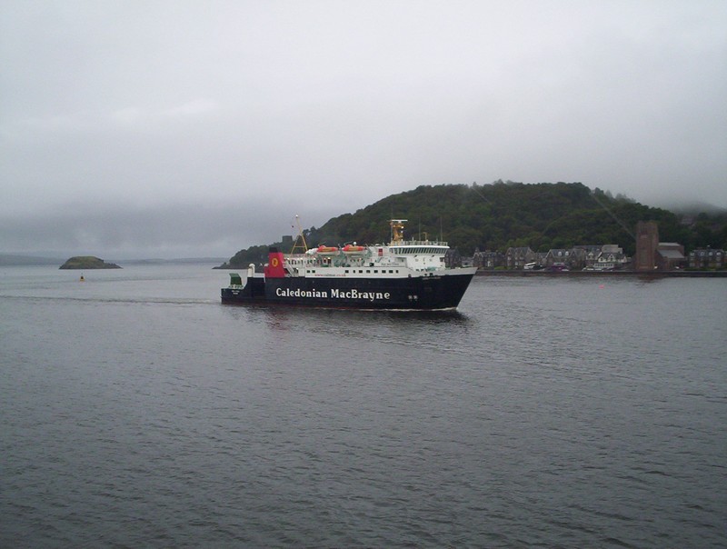
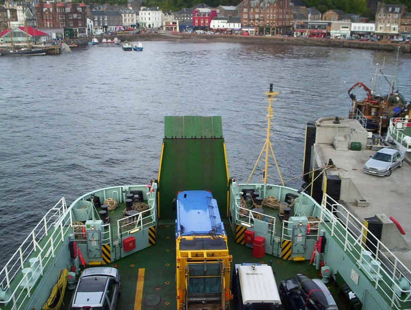
Oban harbour, the end of our August 2009 Hebridean journey.