Hebridean Journeys - Part 5
For our fifth Scottish island journey in May 2011 we decided to return to Harris and Lewis as well as visiting Rum for the first time.
The initial part of our journey was to Mallaig by train and then by ferry to Rum, followed by the route north to Harris via the ferry from Mallaig to Armadale on Skye. There was then a journey up Skye using three buses to get to Uig, followed by the ferry to Tarbert on Harris.
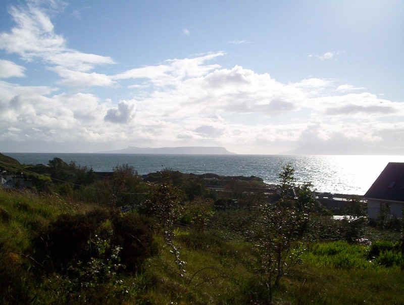
We arrived in Mallaig on a Sunday evening after a week of gales and bad weather had caused the cancellation of many Calmac ferry sailings. The view from our hotel room as across to Eigg (on the left) and Rum (on the right).
Day 1- the Small Isles
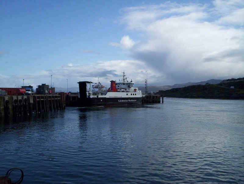
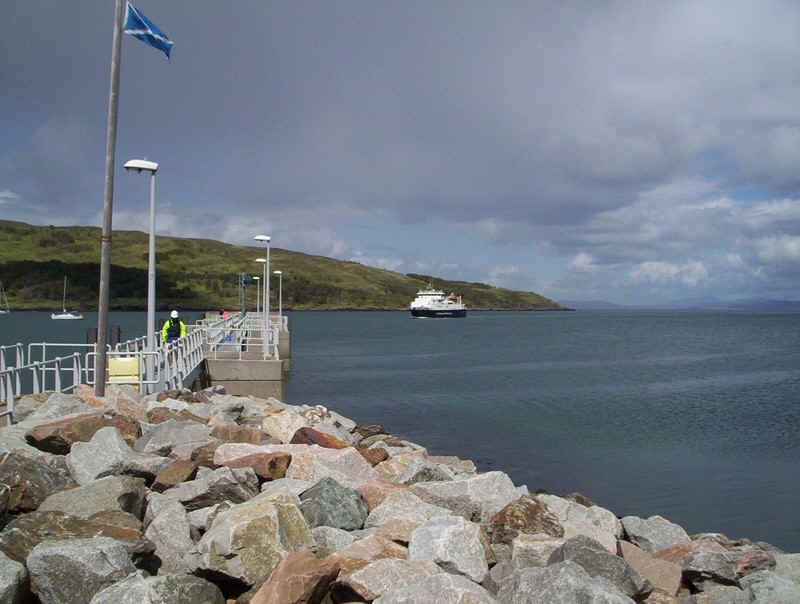
Next morning the "Loch Nevis" is seen backing onto the link span ready for the day's sailings.
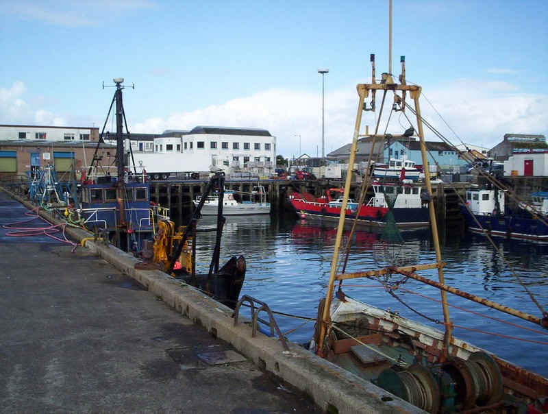
The bustling fishing harbour at Mallaig.
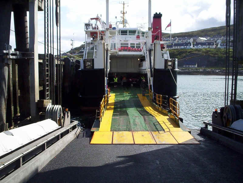
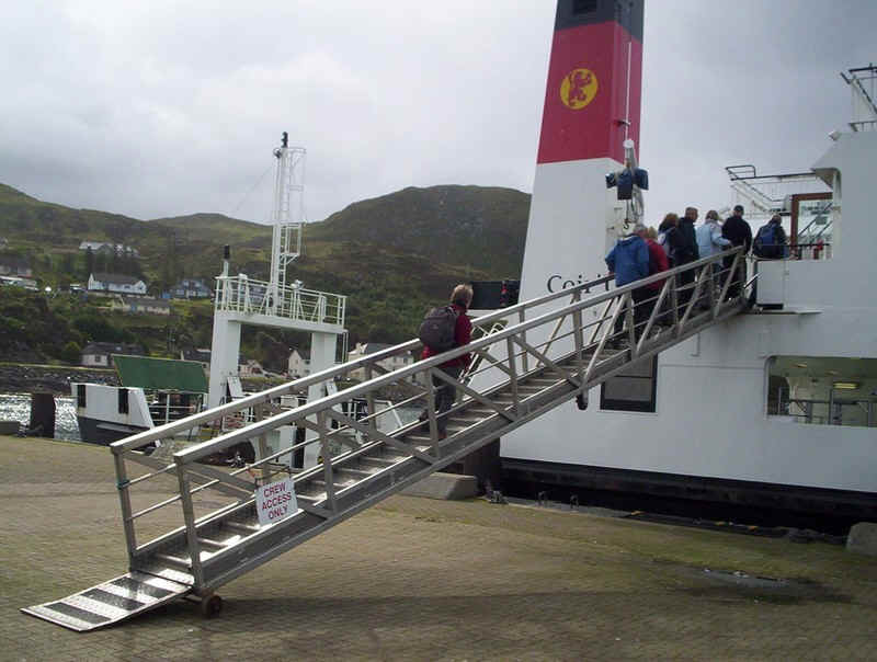
Foot passengers seem to embark via the car deck before vehicles, which makes a nice change. The sailing left at 1015 and took two and a half hours to get to Rum. Sadly, whilst the "Loch Nevis" is a really pleasant little ship the catering is basic and certainly not up to Calmac's usual standard.
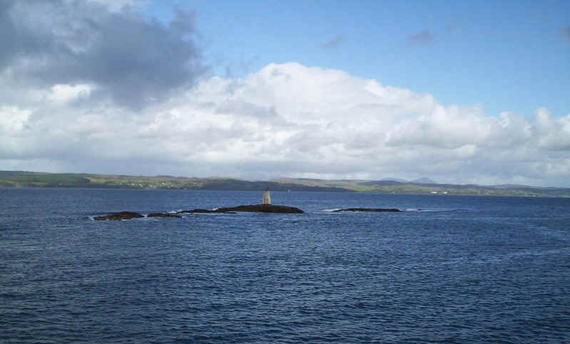
Leaving the harbour the ship rounds this reef with Skye in the background....
.....and Eigg and Rum more or less free of cloud.
Over the main land the weather wasn't quite so good. This is the entrance to Loch Nevis with the hills of Knoydart beyond
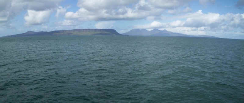
A somewhat distorted panorama of the islands made from combining several photographs.
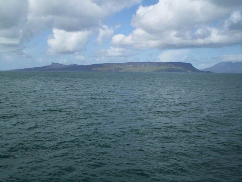
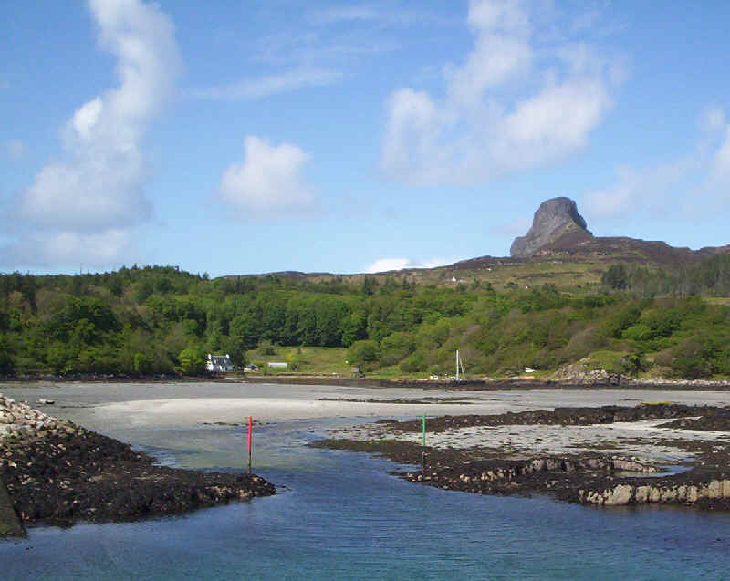
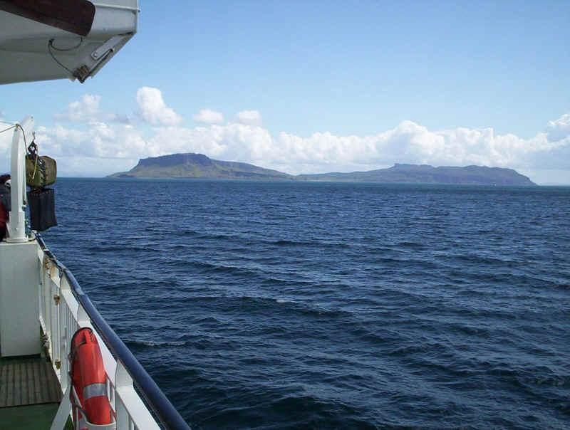
The island of Eigg with its distinctive shape seen from about half an hour's sail away.
The most distinctive feature of the island is the 394m high An Sgurr, which several passengers were intending to climb.
The new ferry ramp at Kildonnan has eliminated the flit boats that were still in use last time I sailed on the Loch Nevis.
Another view of An Sgurr.
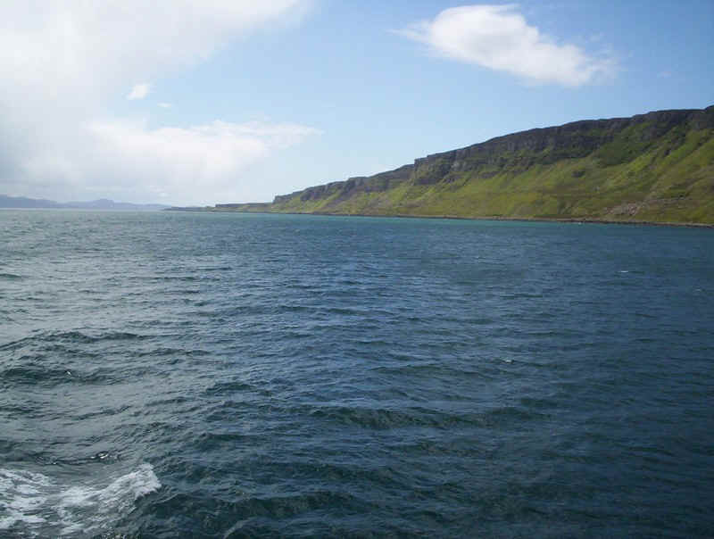
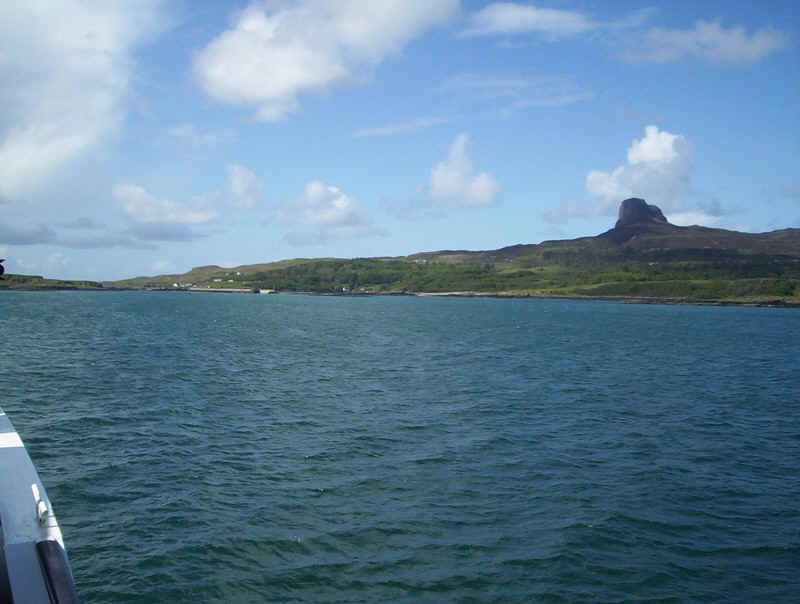
The ferry then took a course quite close to the island's cliffs...
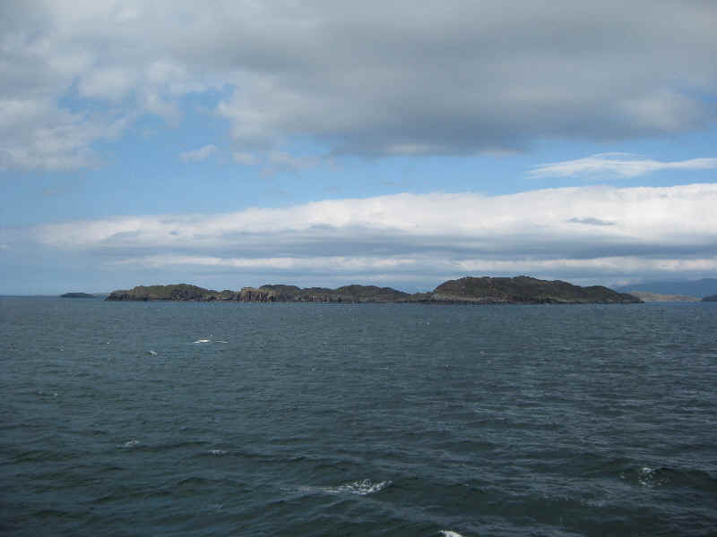
........heading straight towards Rum.
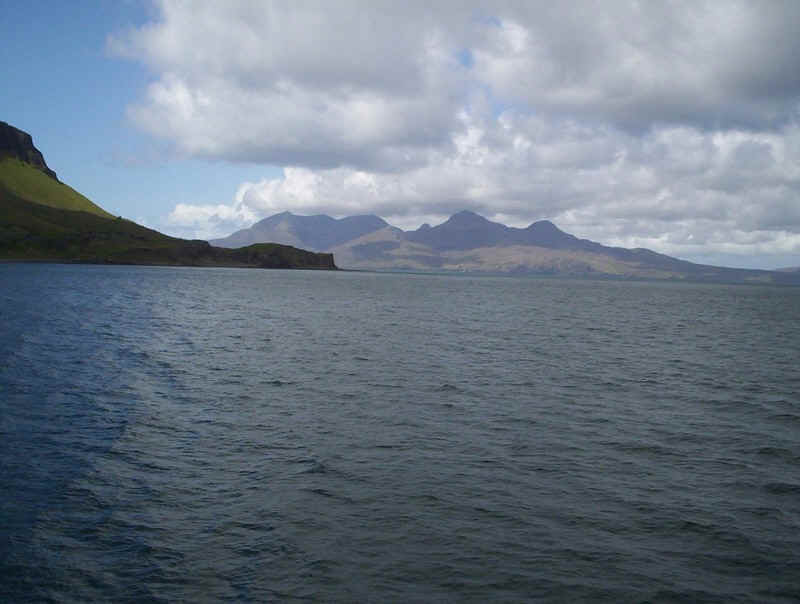
Across the Sound of Rum are the mountains of Skye covered in cloud.
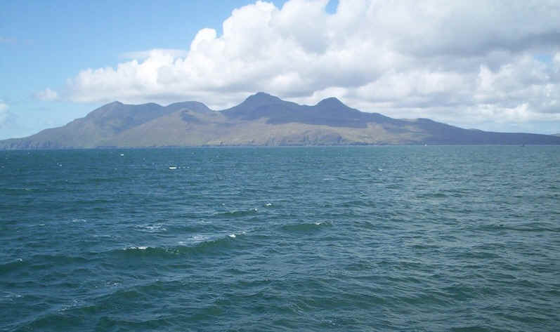
A panorama of Rum.
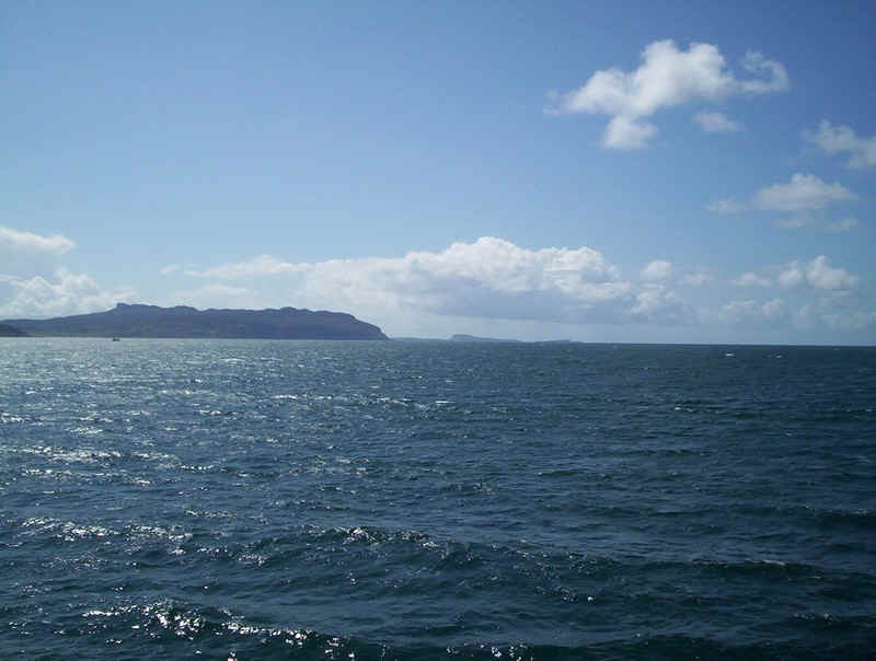
Away to the south west is the northern end of Eigg and on the horizon the tiny island of Muck.

Click on the image to see the full size panorama. The two highest hills are Ainshval (778m) and Askival (812m).
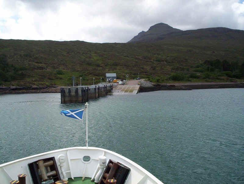
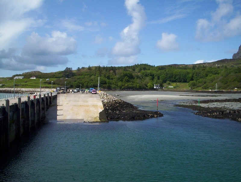
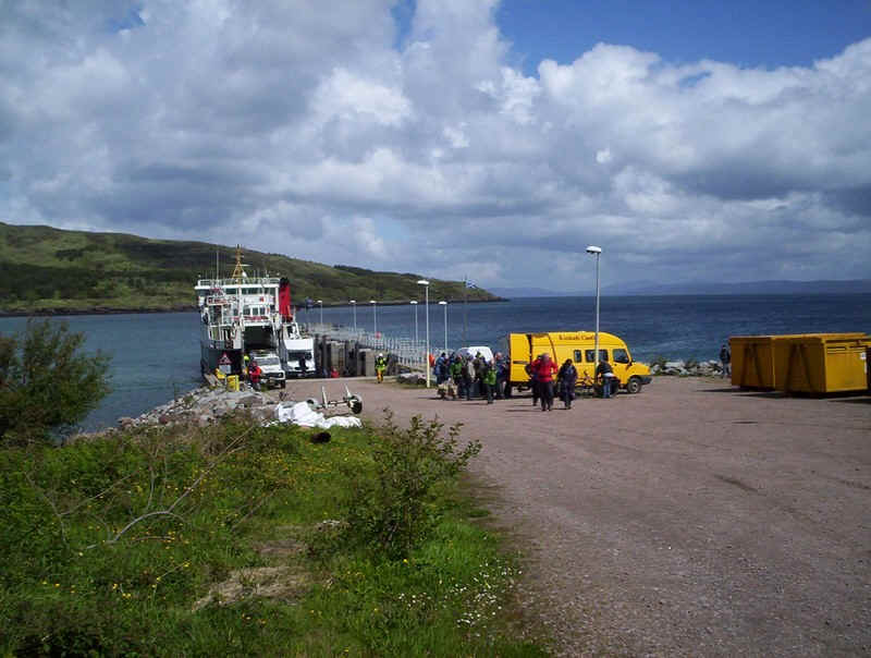
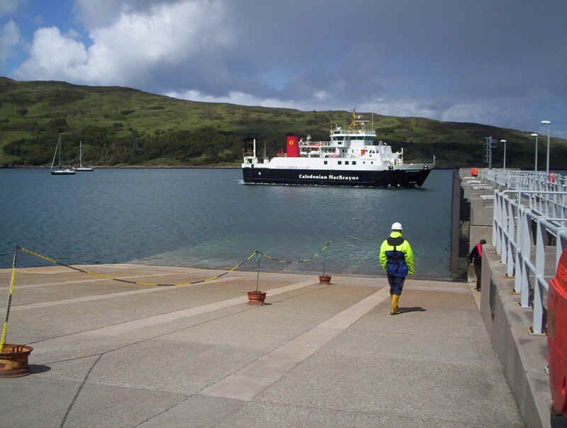
Approaching the ferry terminal at Rum.
![]()

Click on the panorama to see the bay of Loch Scresort with the village of Kinloch at its head.
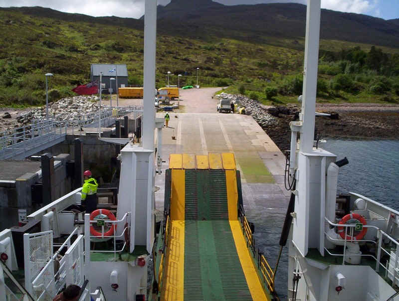
Berthing at Rum. It's a long walk from here to the village but almost all the passengers looked "outdoor types"!!
The hostel minibus at Kinloch Castle takes everybody's rucksacks up to the village.
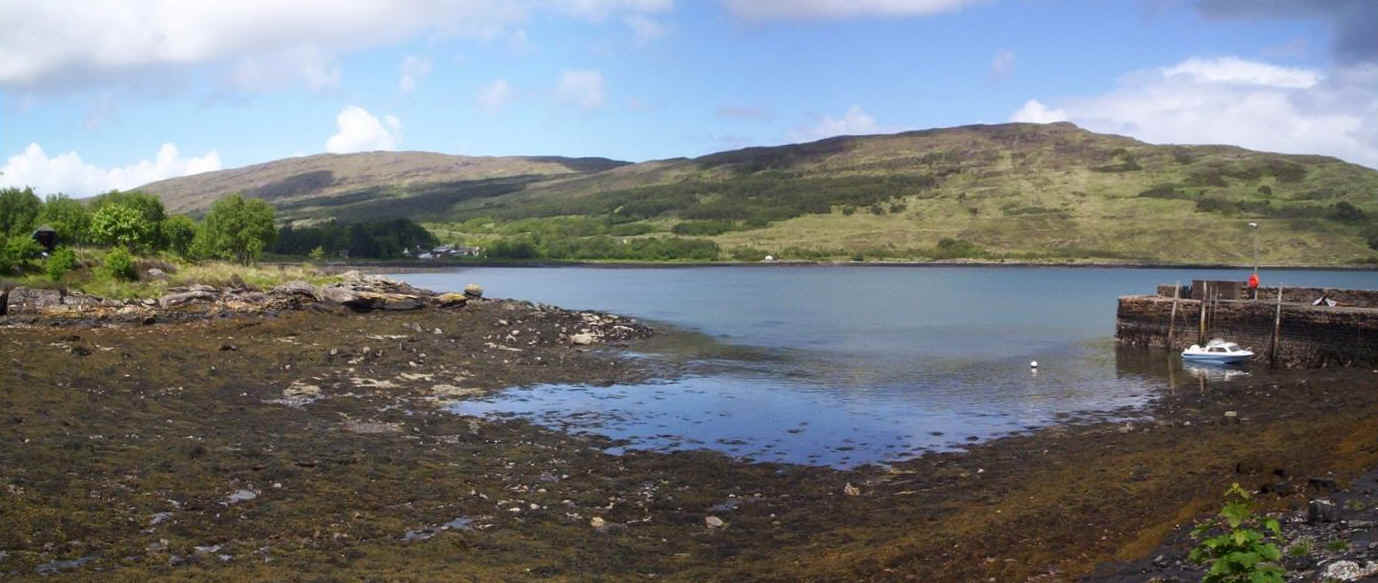
Another clickable panorama of the loch and the old pier that was used by the rum flitboats.
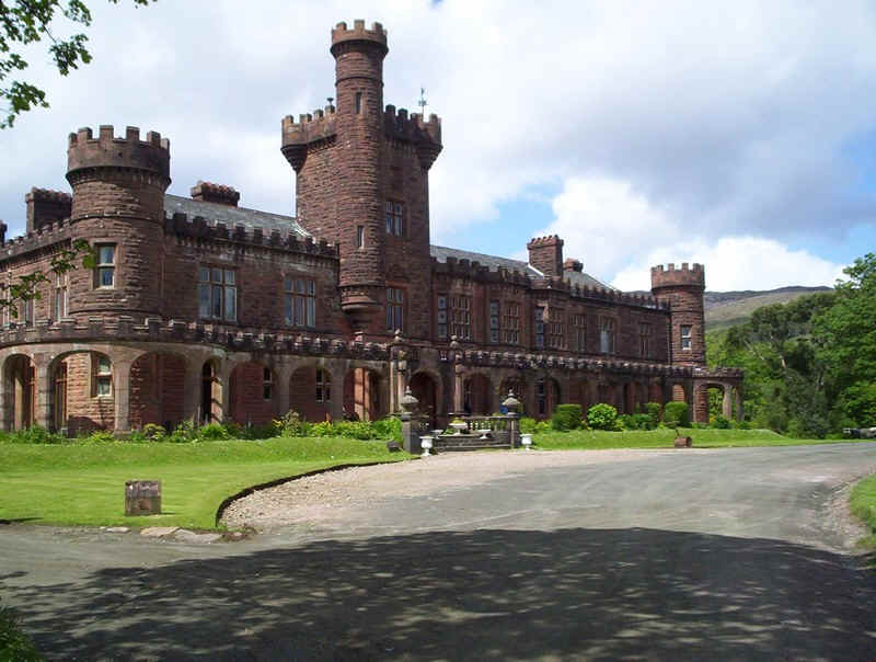
Kinloch Castle, now a hotel/ hostel/ stately home.
The main purpose of our visit to Rum was to walk up the Kinloch Glen as far as possible given that we had to be back at the ferry in just over two hours.
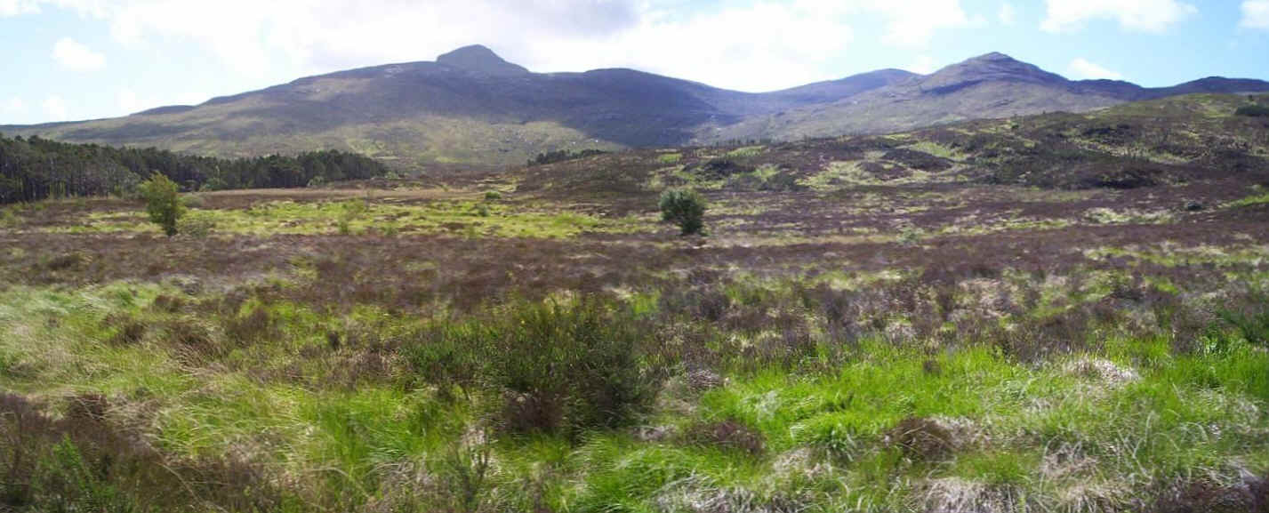
A clickable panorama of the mountains of Rum - Askival (812m) is the highest peak.
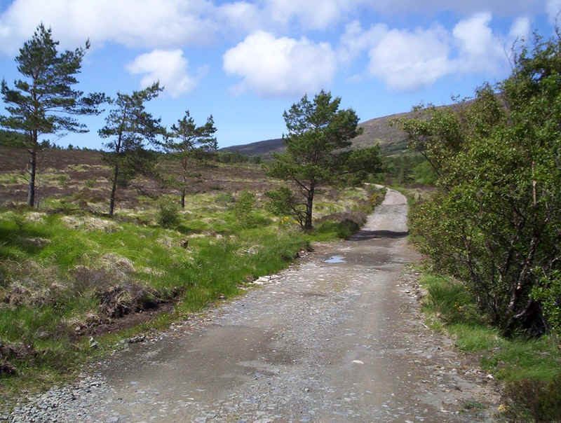
It's a gentle uphill walk...
.....as far as this deer fence where we turned back to the village. Beyond the fence the track continues right across the island. Sadly, there wasn't time to do that.
The view walking back shows the mountains on the mainland.
The ferry had been out to Canna and is seen here entering the loch.
A broad side view shows what a strange and compact craft "Loch Nevis" is. Stephen has carefully positioned himself to be first aboard and grab the best seats in the panoramic lounge.
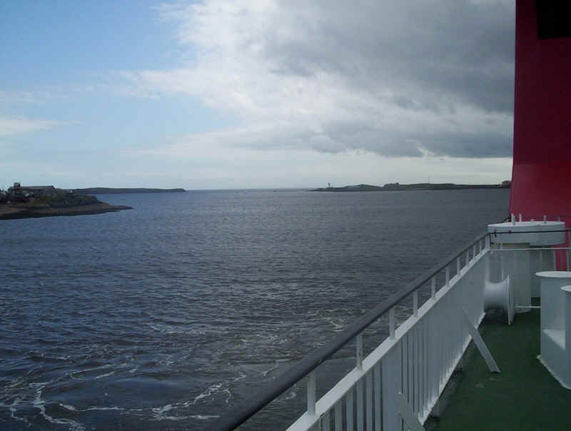
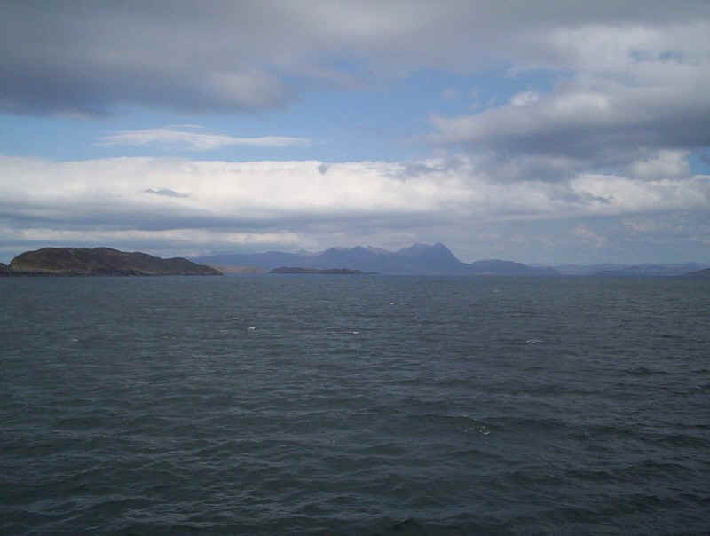
Skye seen across the Sound of Rum on the return to Mallaig via Eigg.
The north end of Eigg viewed from the starboard side of the ship.
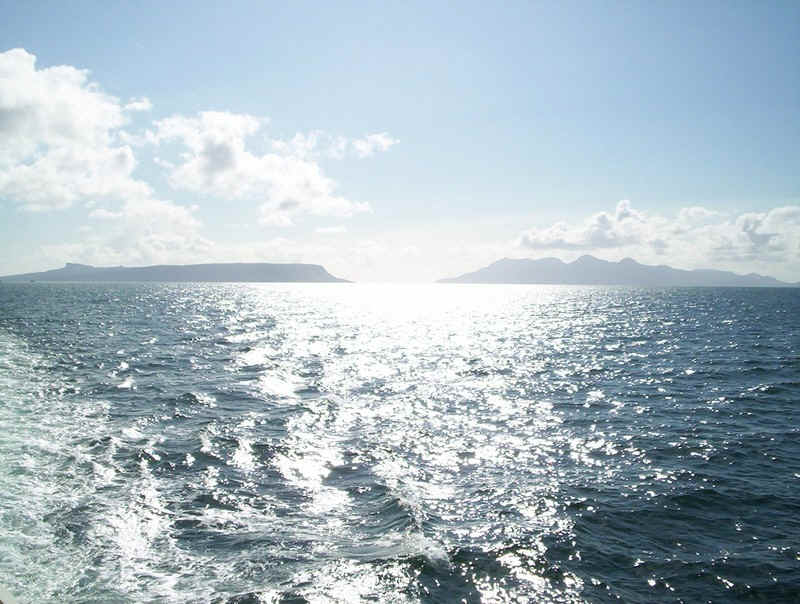
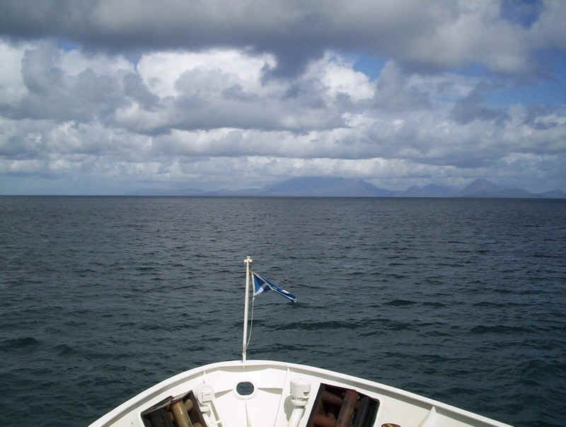
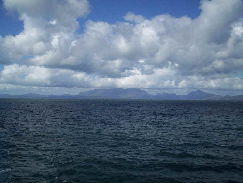
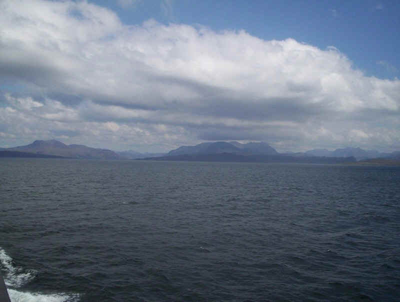
Sailing away from the Small Isles.
Weather conditions have improved and there are views to be had up Loch Nevis, with the 1050m Ladhar Bheinn on the left of the photo. Mallaig is ahead.
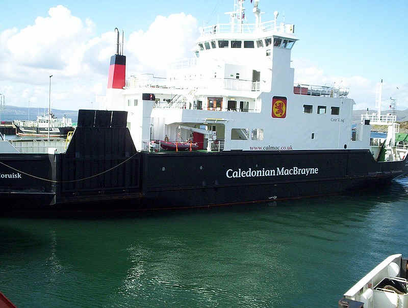
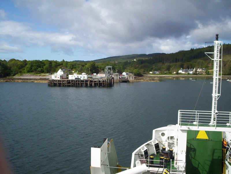
The Skye ferry "Coruisk" was occupying the vehicle ramp, so foot passengers were disembarked from the "Loch Nevis" via the gangway and vehicle drivers had to wait until the "Coruisk" sailed.
Day 2 - to Skye and Harris
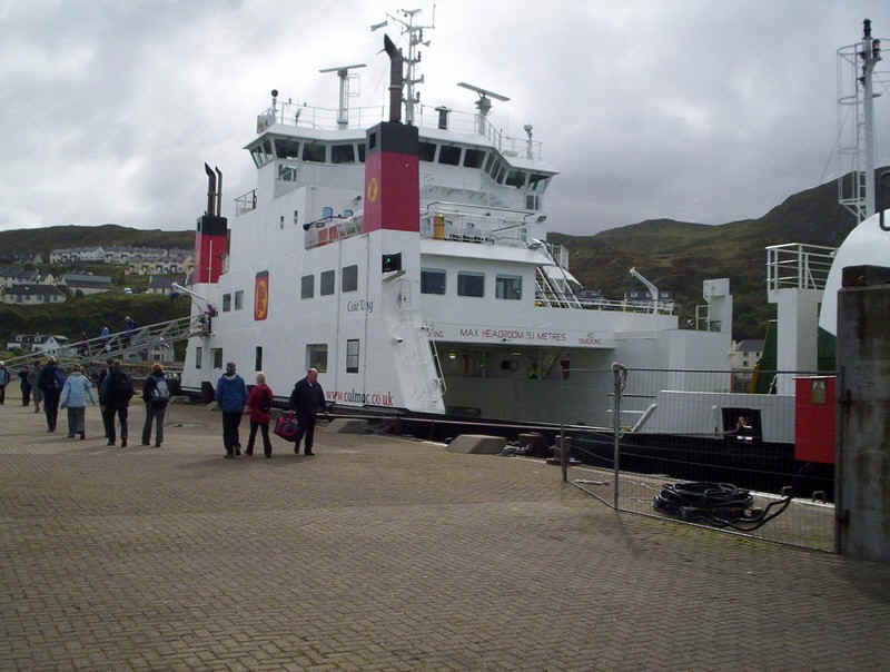
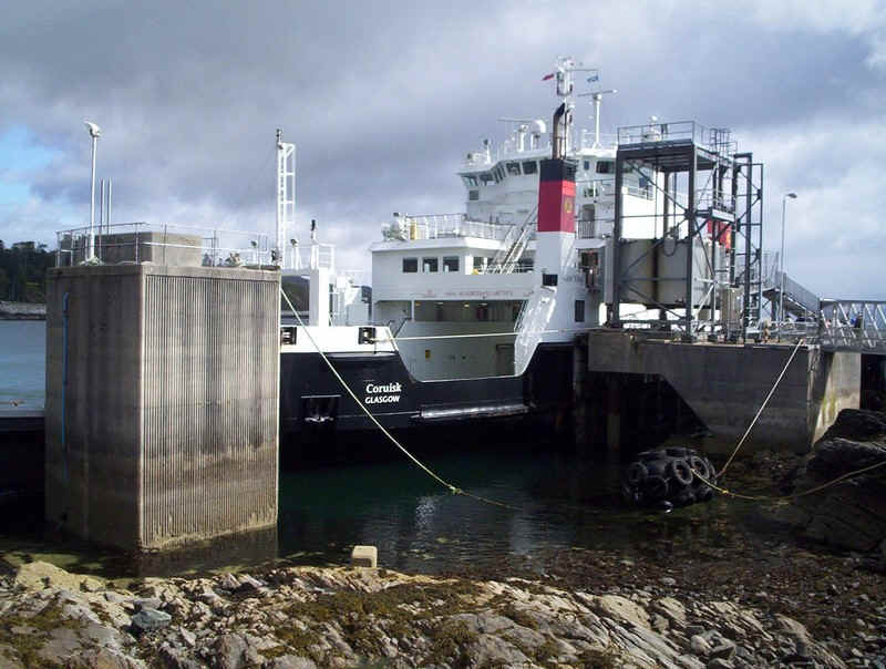
The first stage of the journey was aboard the "Coruisk", a rather ugly craft but at least we...
......go up the gang plank this time...
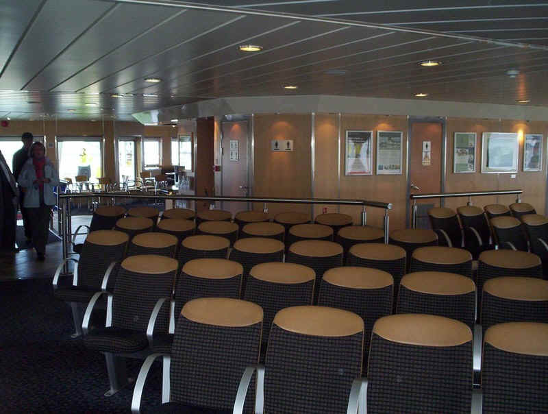
....and the accommodation is pleasant.
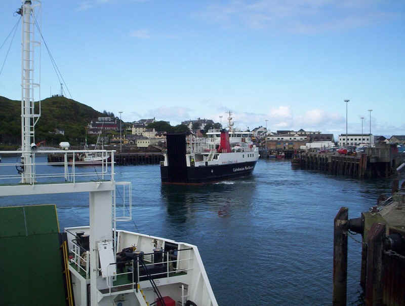
As soon as we leave the link span the "Loch Nevis" moves round off her overnight berth.
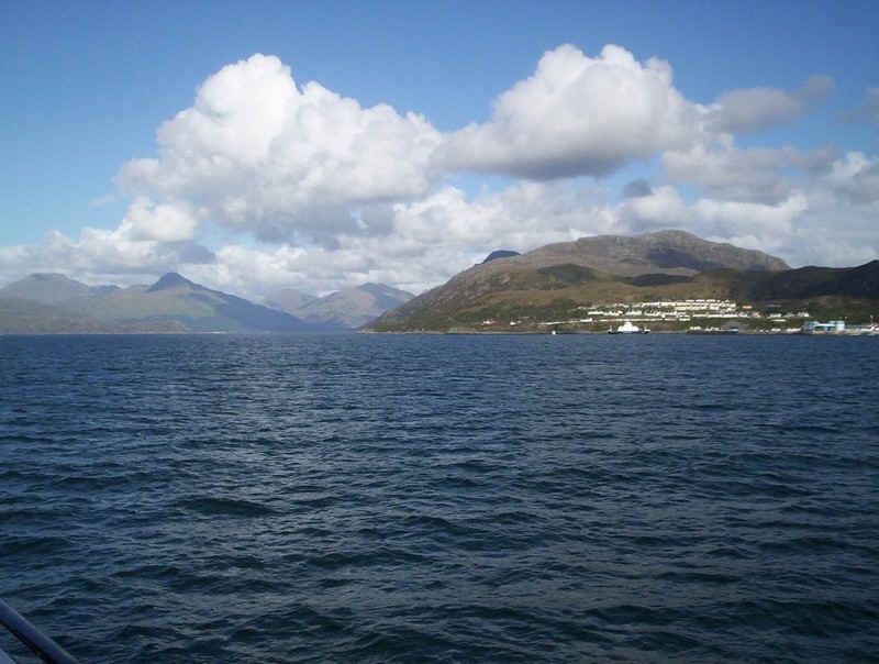
Heading across the Sound of Sleat towards Skye...
....and the terminal at Armadale.
Taking a good photo of "Coruisk" proved impossible here...
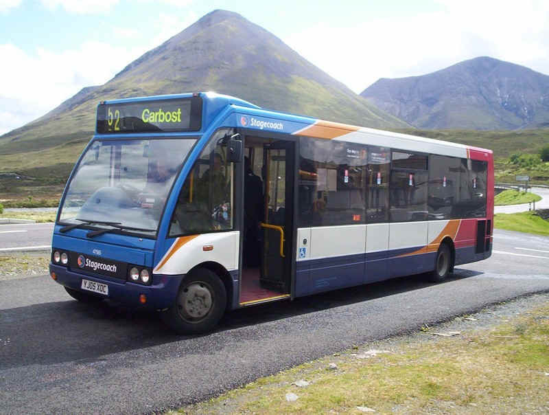
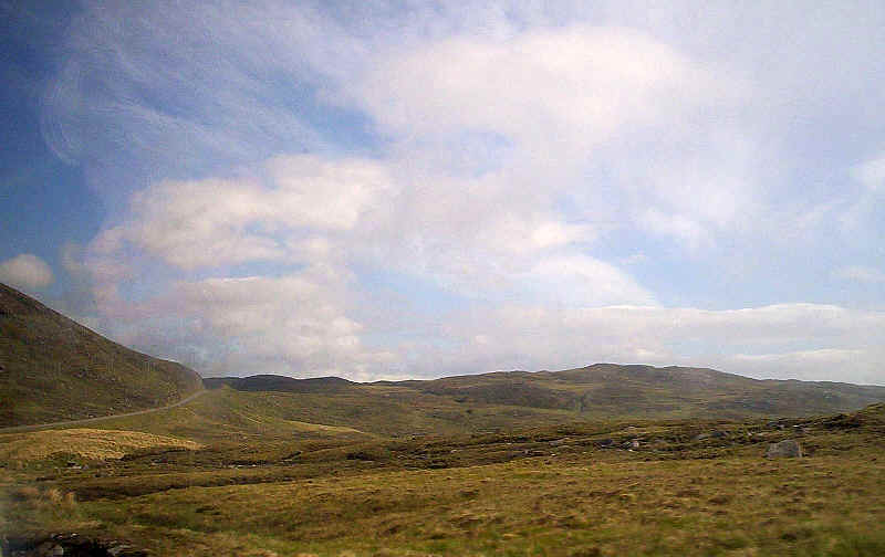
...and it was soon time to go north on one of Stagecoach's finest. The road along Skye has superb views but as is usual the ride was terrible and the speed excessive for the passengers' comfort.
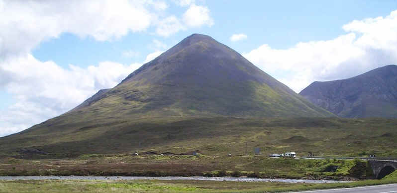
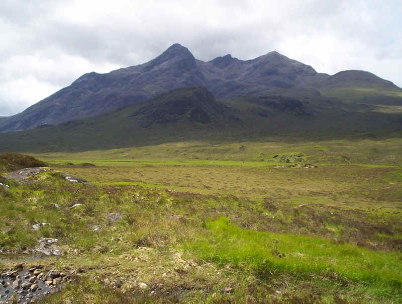
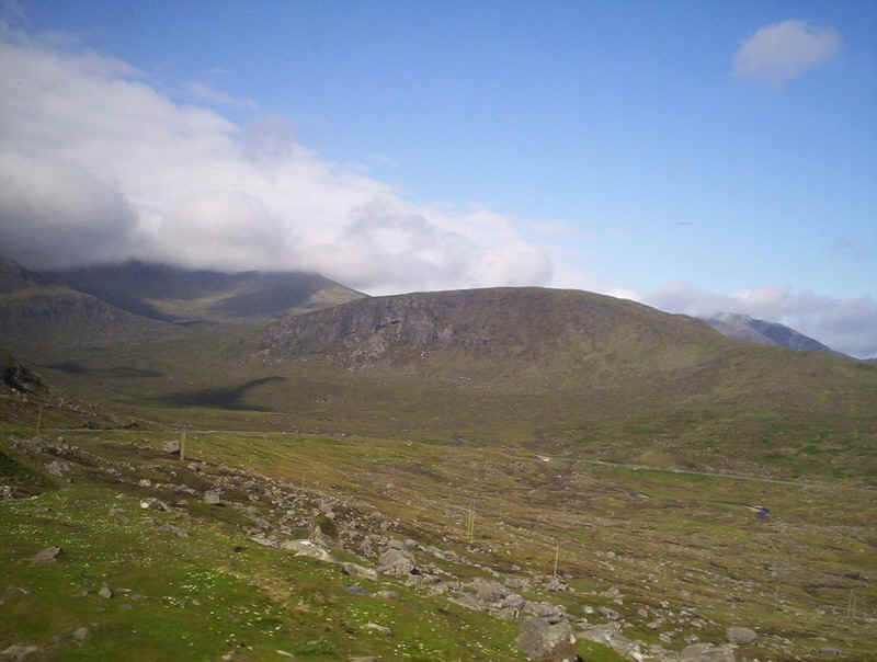
We got off at Sligachan as I've long had an ambition to walk up the Glen here to get a good look at the Cuillins. This is Sgurr Mhairi one of the Red Cuillins and only 775m high.
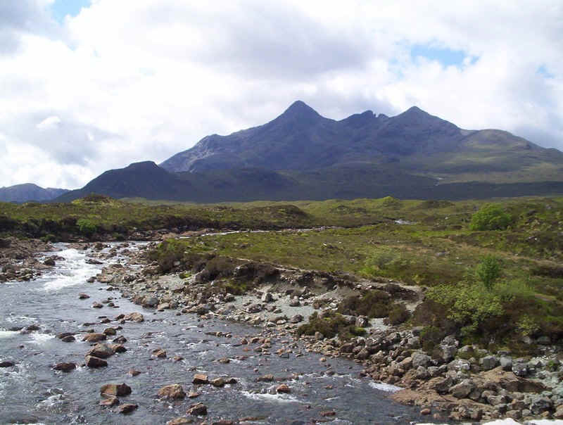
That's more like it, the terrifying Black Cuillin ridge. We were fortunate to have good weather...
....as we walked up the path from the Sligachan Hotel...
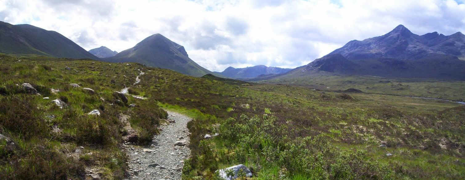
Click on the photo to see the panorama up the glen.
Identifying the exact summits is difficult but the three Munros at this end of the Black Cuillin ridge are left to right:
Bruach na Frithe, Am Basteir and Sgurr nan Gillean.
Having got reasonably close to the mountains we had to return to Sligachan for the bus to Portree.
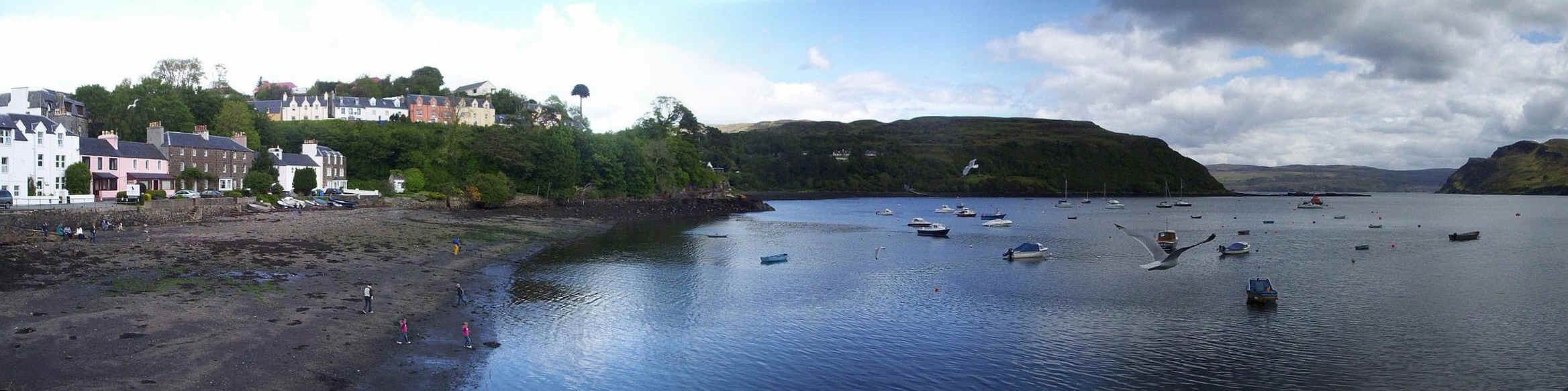
A clickable panoramic view of Portree harbour.
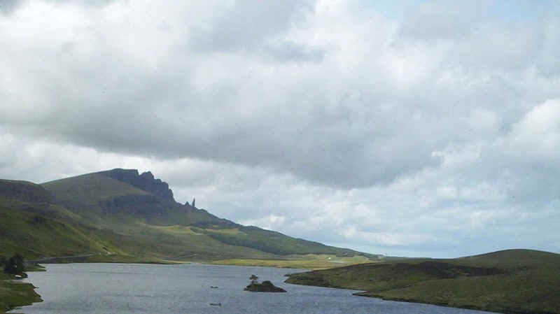
Travelling north from Portree on the school bus via the Trotternish peninsular, I was delighted to get a reasonable image of the Old Man of Storr rock pinnacle and The Storr itself (719m) through the bus window.
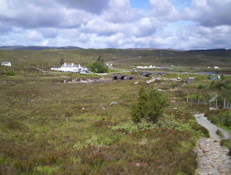
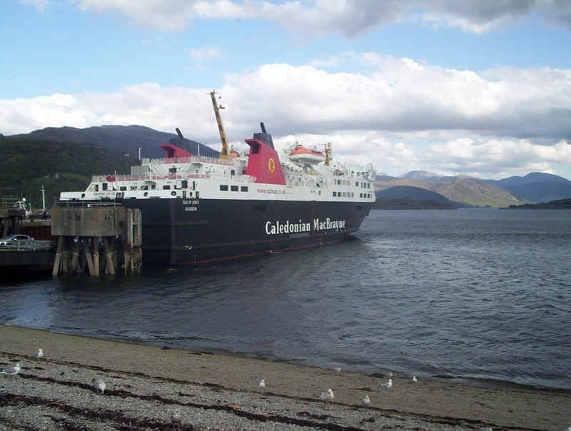
We took the evening ferry from Uig to Tarbert on the "Hebrides"
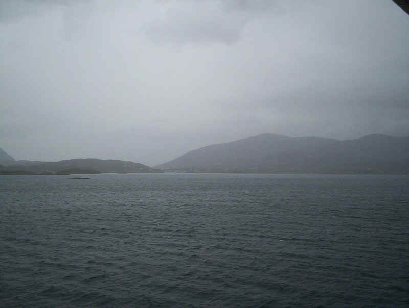
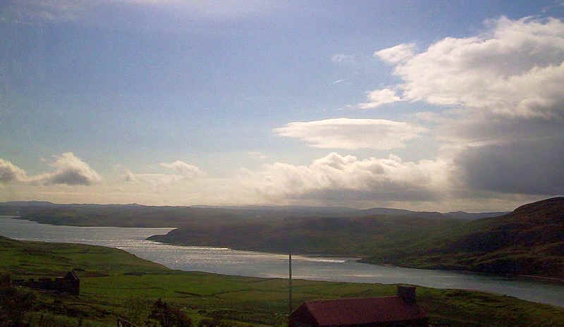
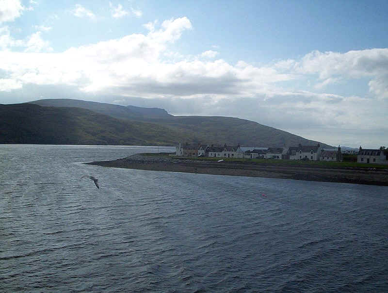
Our arrival in East Loch Tarbert was accompanied by miserable weather so Fran preferred to stay inside whilst I ventured out onto the wet and windy deck to take a few photos.
Looking back down the loch with the bridge across to Scalpay just visible through the rain.
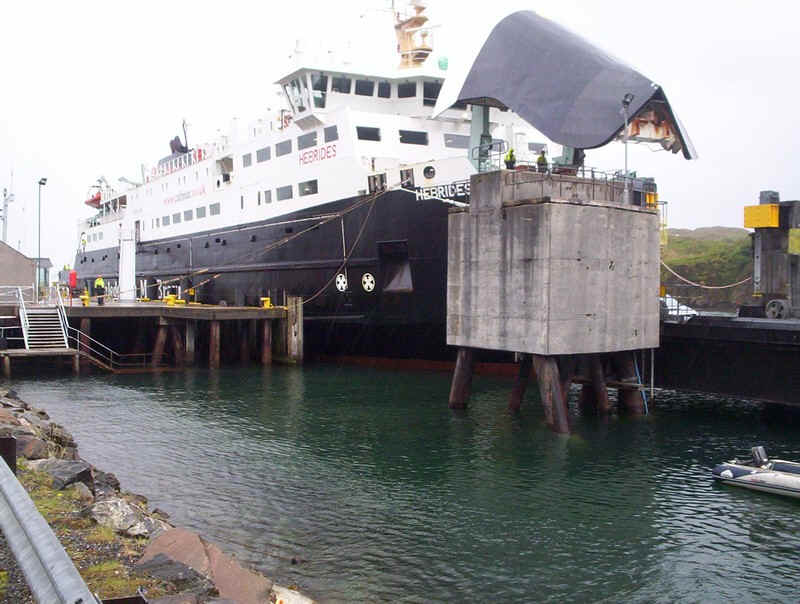
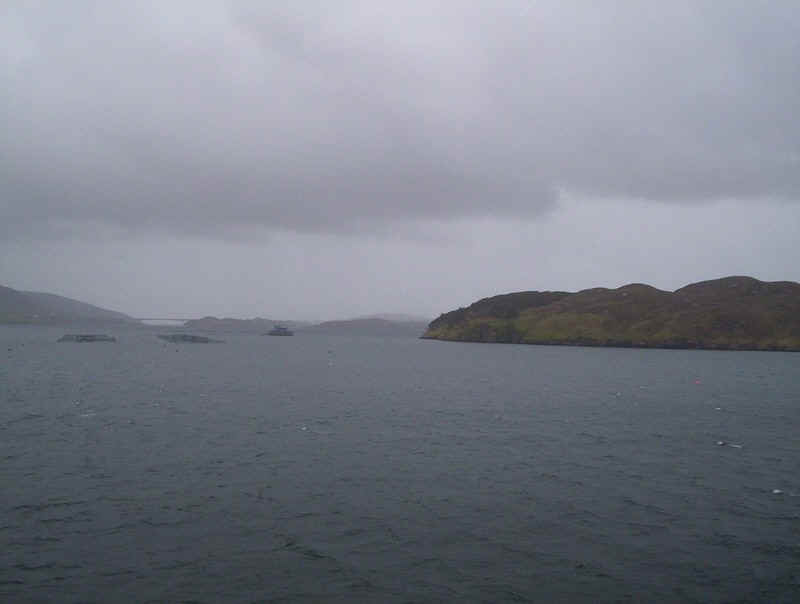
The "Hebrides" berthed at Tarbert.
The Isles of Harris and Lewis
Day 3 - To the Butt of Lewis
Our three days on the Isle of Harris and Lewis had very variable weather ranging from wind and rain through to sunny periods.
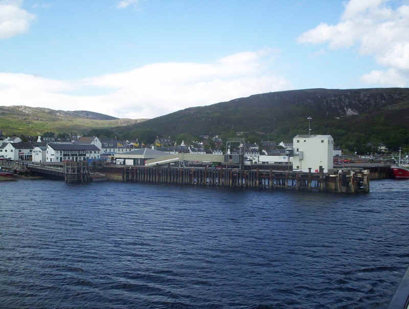
We made the journey north from Tarbert to Stornoway three times during our stay. This may seem illogical but we don't really like Stornoway as it's just like a Scottish mainland town and doesn't have the Hebridean atmosphere that Tarbert has.
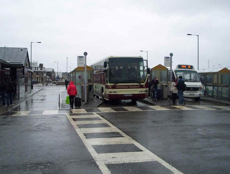
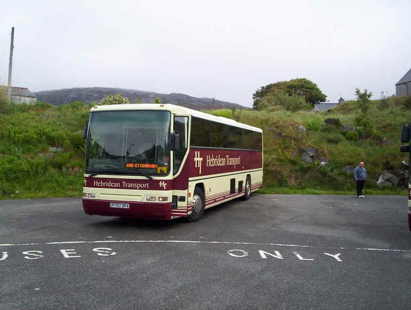
At least Hebridean Transport have good coaches on most of the services. This is Stornoway bus staion on our first visit on our way to the Butt of Lewis.
The journey to the most northerly point of the
Outer Hebrides is by bus to
Eoropie, one of the villages at the "top" of the island about an hour
from Stornoway.
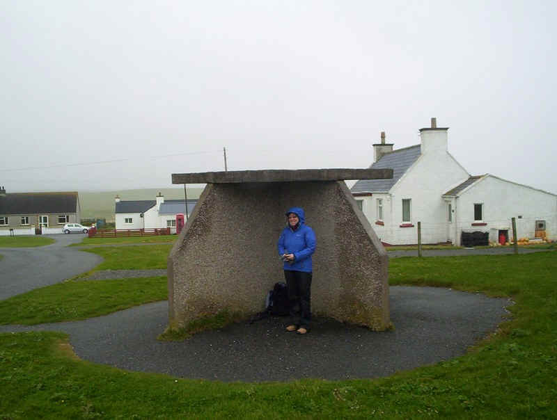
Fran sheltering in bus shelter Hebridean style. Quite how the bus driver will see you if the wind is making you shelter on this side is a mystery...
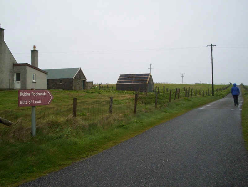
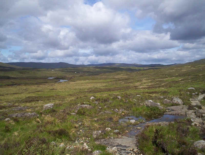
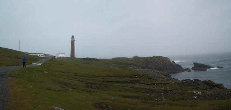
There is no doubt about the way to go to the Butt of Lewis. We did wonder whether we'd make it as the wind was blowing a gale on this day and walking was quite difficult.
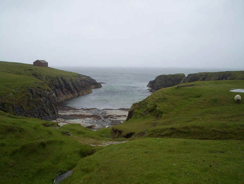
This curious inlet was used by the ships bringing materials to build the lighthouse at the Butt of Lewis.
This part of the island really does feel like the end of the world, with the Atlantic surrounding the cliffs and a gale blowing.
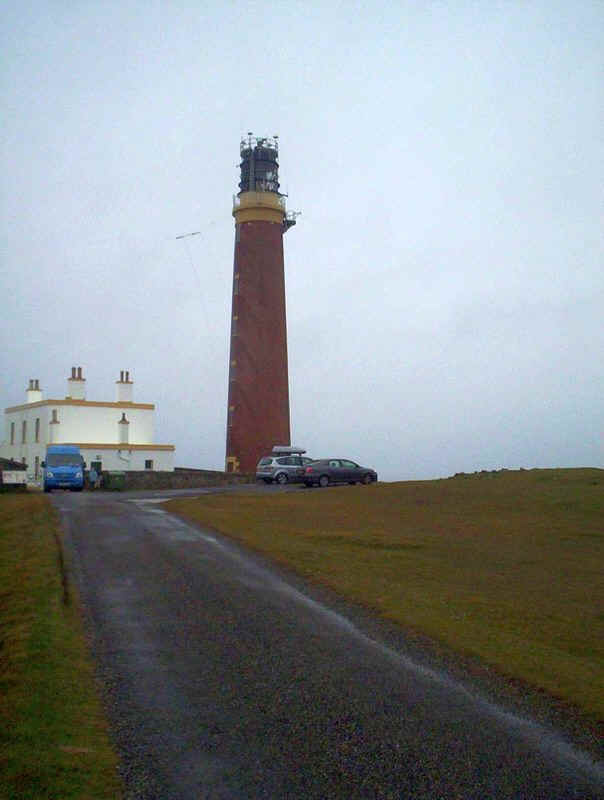
The lighthouse was built by David Stevenson in the 1860s and is now automated.
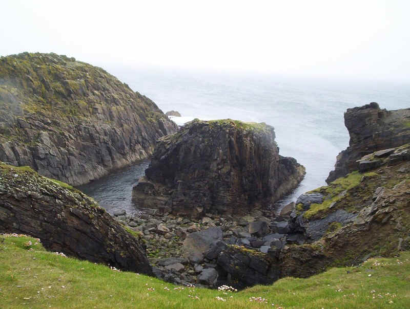
Two views of the Atlantic and the rocks which are amongst the oldest in Europe - Precambrian and about 3000 million years old.
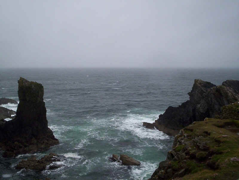
An Atlantic swell.
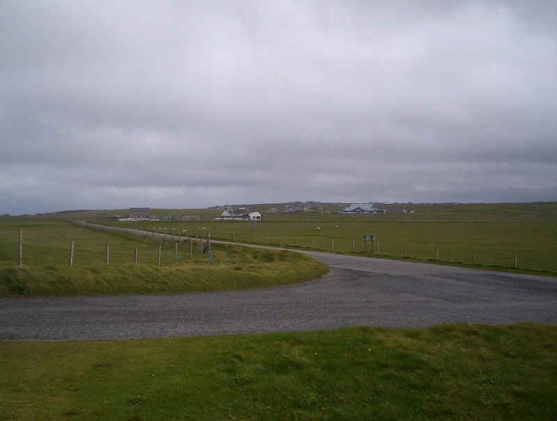
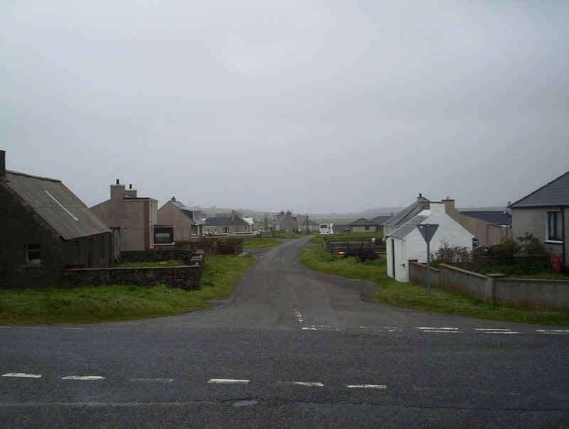
Back at Eoropie it was time to find the cafe before taking the school bus back to Stornoway. This is looking across the typical flat farmland.
Day 4 - To the Callanish Stone Circles
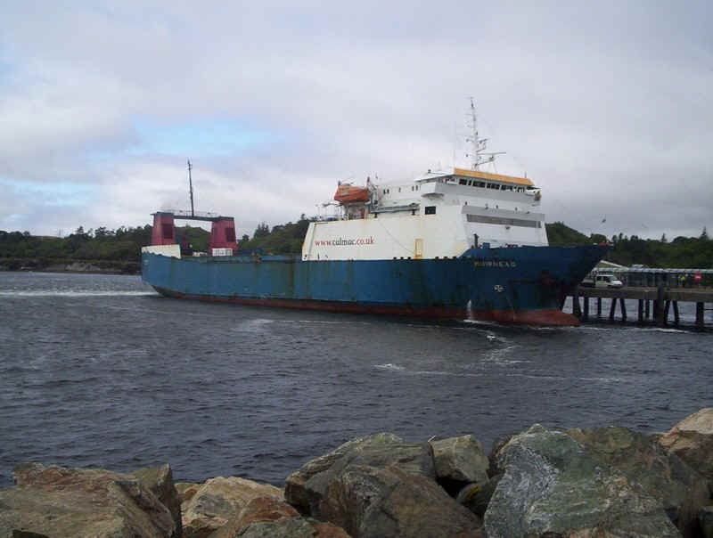
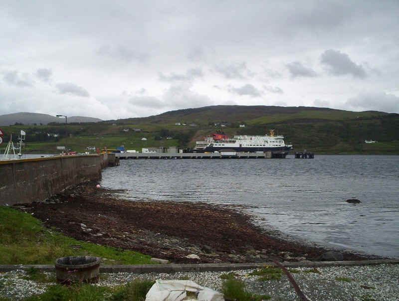
The next day found the Calmac lorry ferry the "Muirneag" unusually berthed alongside the passenger terminal.
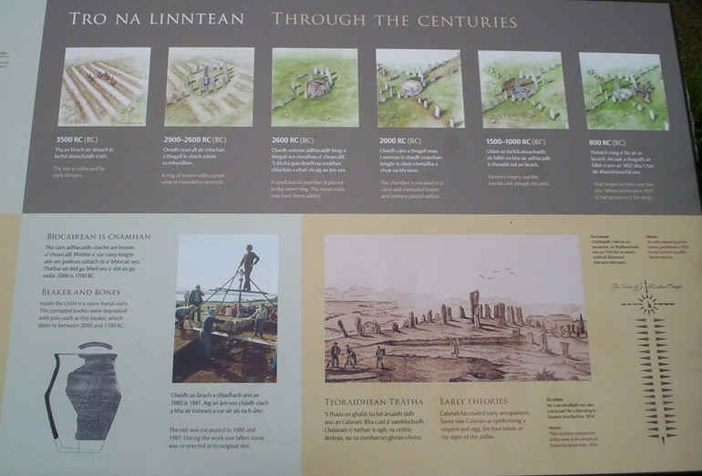
Another bus journey took us over to the western side of the island to Callanish. Calanais (in Gaelic) is the location of the Callanish Stones, a cross-shaped setting of standing stones erected around 2000 BC and one of the most spectacular megalithic monuments in Scotland.
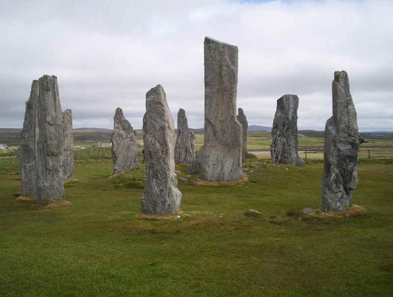
The main circle of stones.
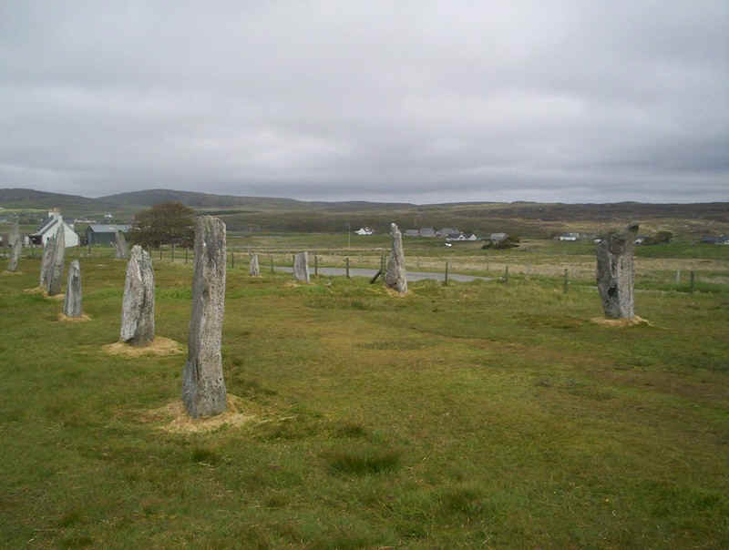
The parallel lines of stones to the north...
....and to the west.
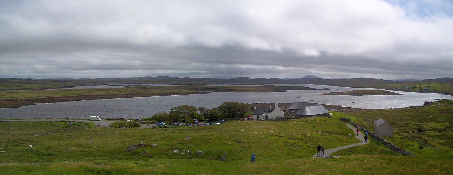
Click on the photo to see the full size photo looking over the Visitor Centre to Loch Smuaisebhal. This is a typical landscape of Lewis; moorland, lochs and hills.
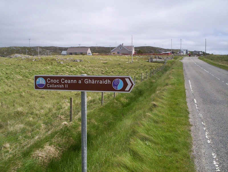
Callanish II is the site of a smaller circle...
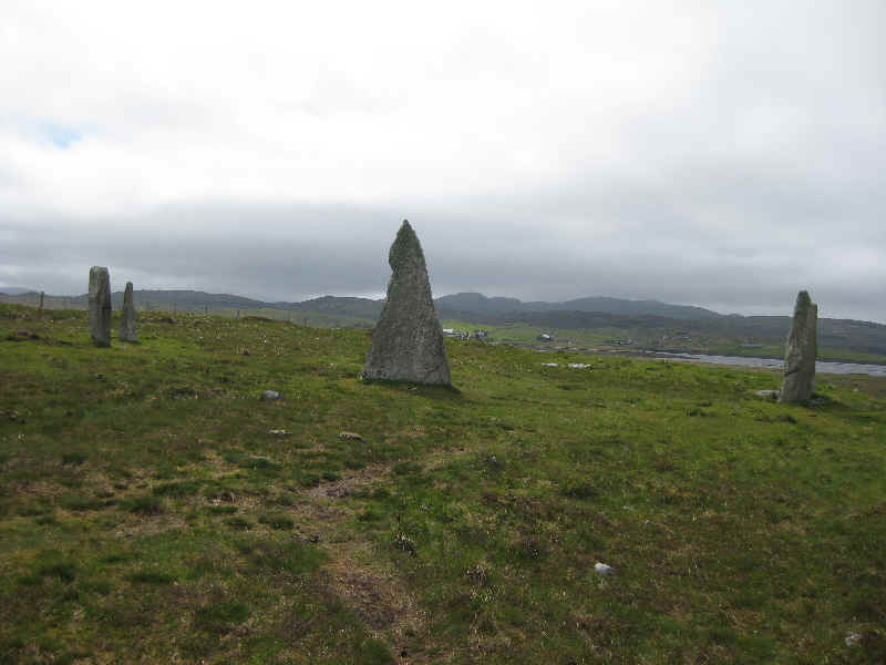
....of about four stones.
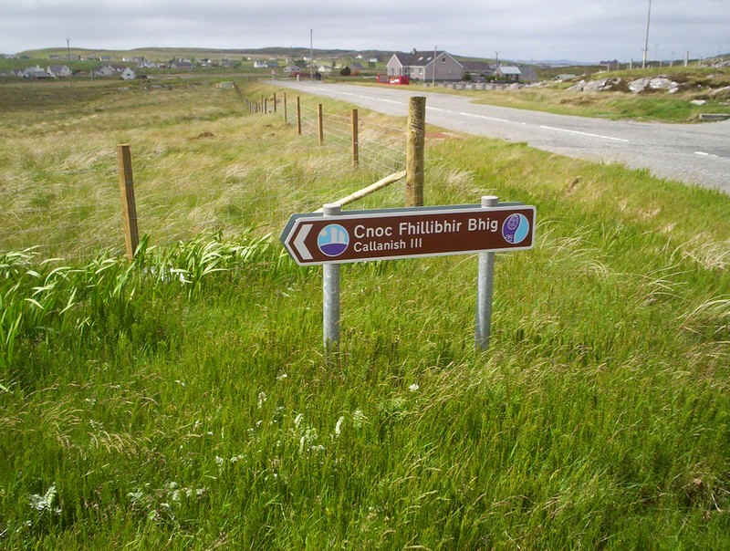
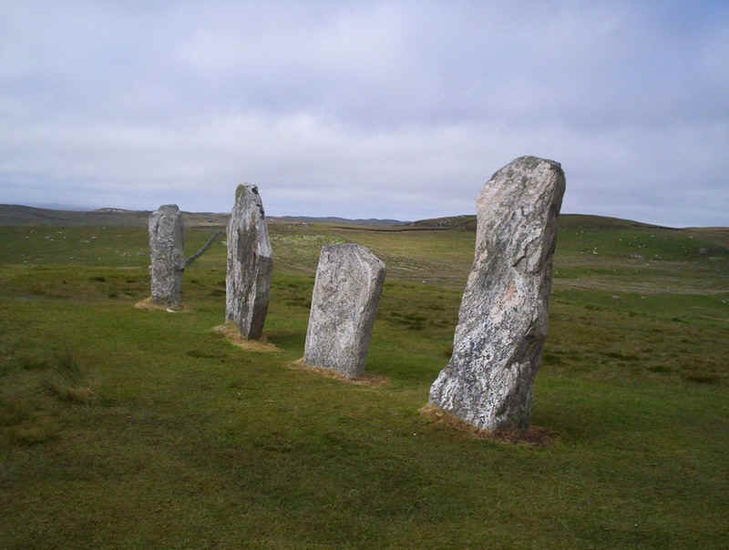
The slightly larger Callanish III ...
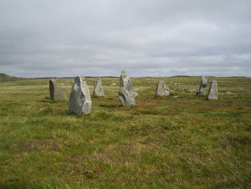
.....is more obviously a stone circle.
Day 5 - Tarbert to Ullapool
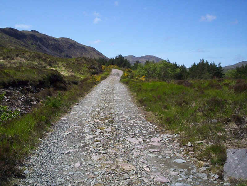
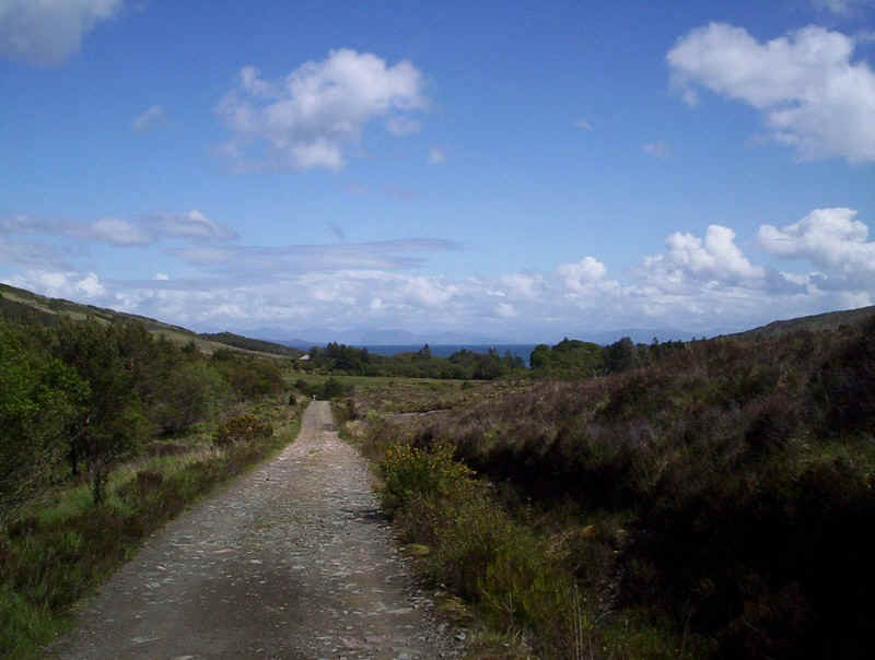
The bus journey from Tarbert to Stornoway across the mountains of northern Harris must count as one of the most dramatic roads roads in Britain, climbing from sea level to over 600 feet in the course of a few miles and then dropping back down almost to sea level as it enters Lewis.
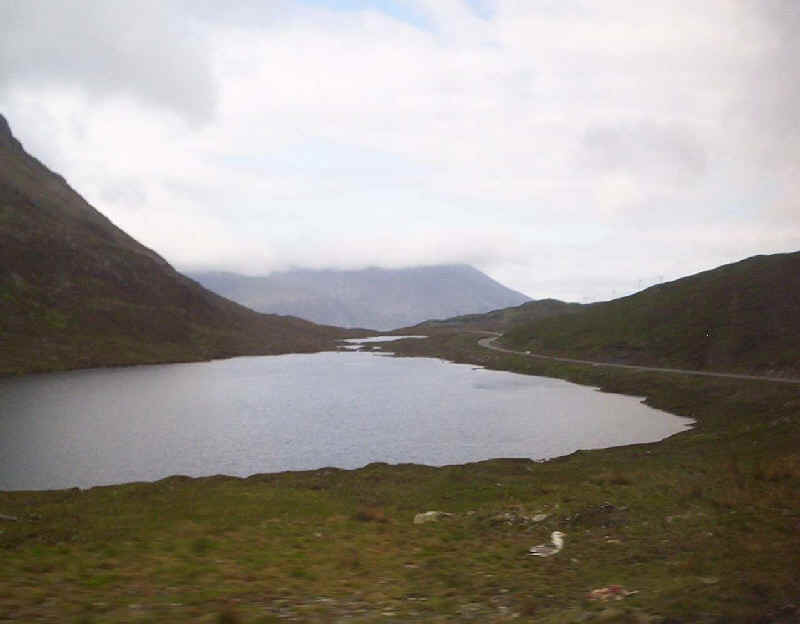
The photographs taken from the bus are not particularly good but give an idea of the journey. This is looking back to Tarbert and here the bus has just reached the summit of the road. There is a small loch here with an unpronounceable Gaelic name.
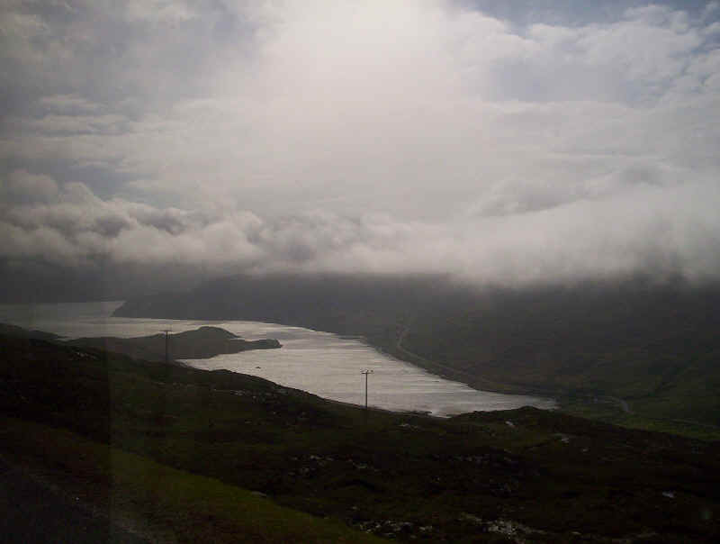
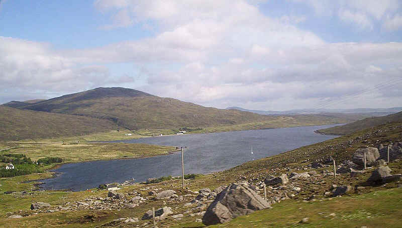
Far below is Loch Maraig and beyond the much larger Loch Seaforth, both sea lochs.
Just in view on the left is Seaforth Island, which is in the middle of the loch
The road continues across the moor before...
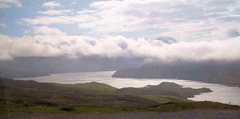
......it sweeps round a bend and out of the mountains...
....to drop down to the upper end of Loch Seaforth, with the end of Seaforth Island just visible on the right.
Across the loch is Seaforth Island
Loch Seaforth looking down to the sea and the island rising to over 600 feet above the water.
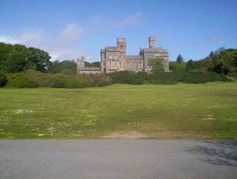
Lews Castle in Stornoway....
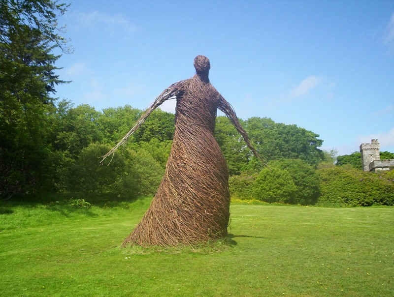
.....and the wicker man.
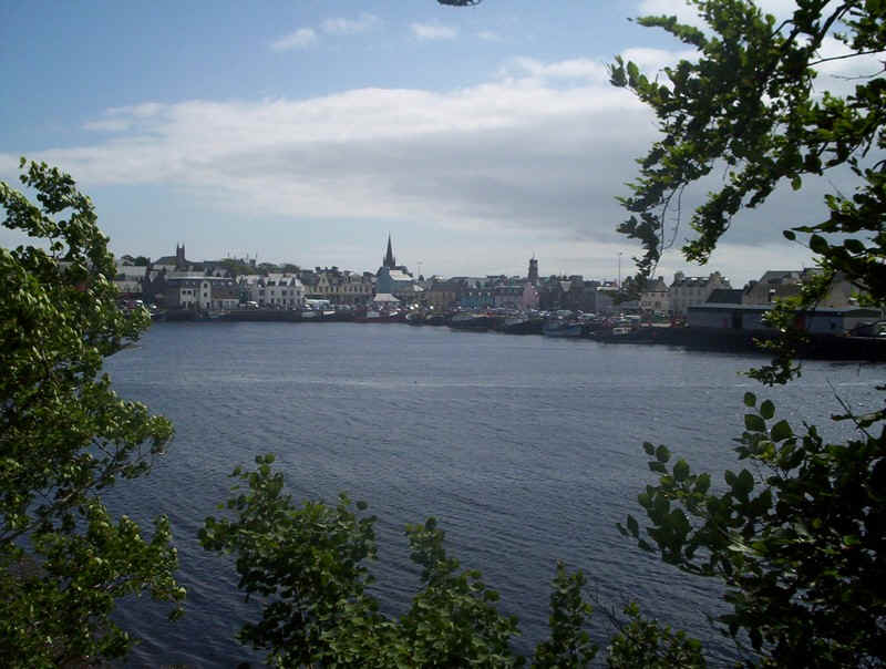
Stornoway fishing harbour.
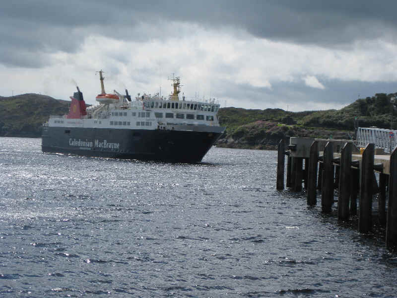
The "Isle of Lewis" arrives from Ullapool...
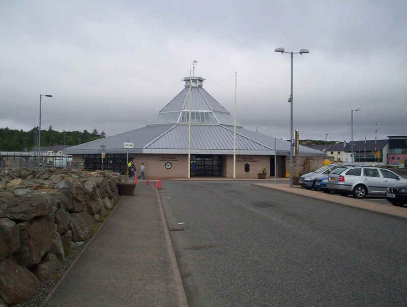
.....and the modern terminal building.
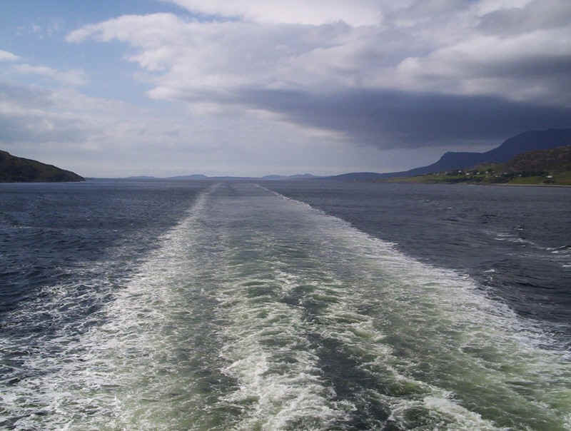
Leaving Stornoway
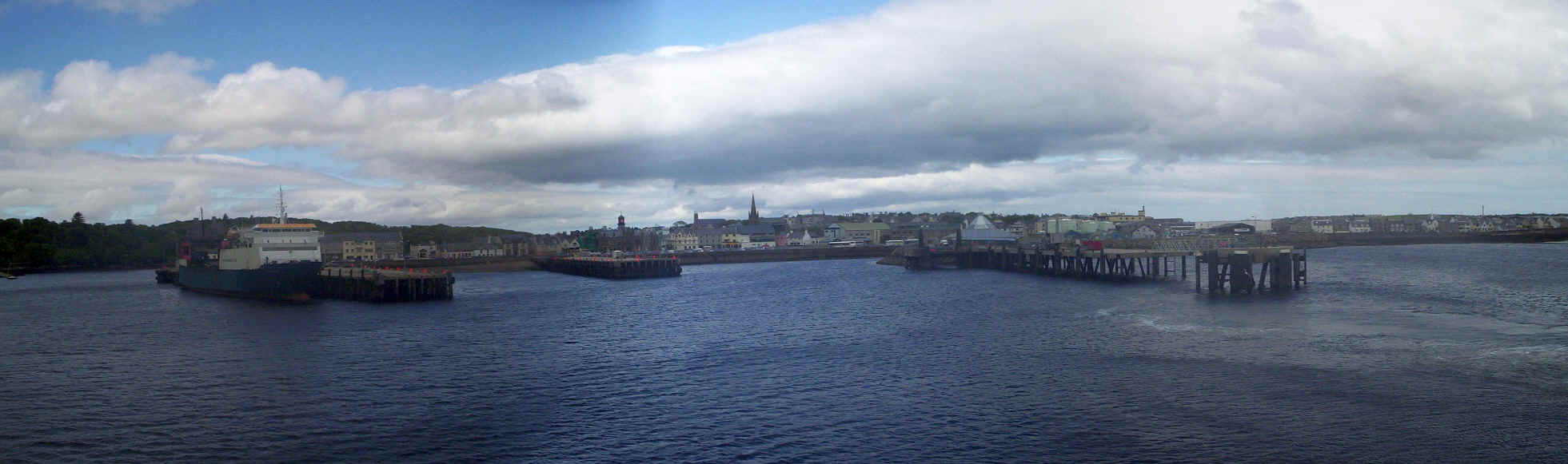
Stornoway harbour panorama.
Stornoway bay.
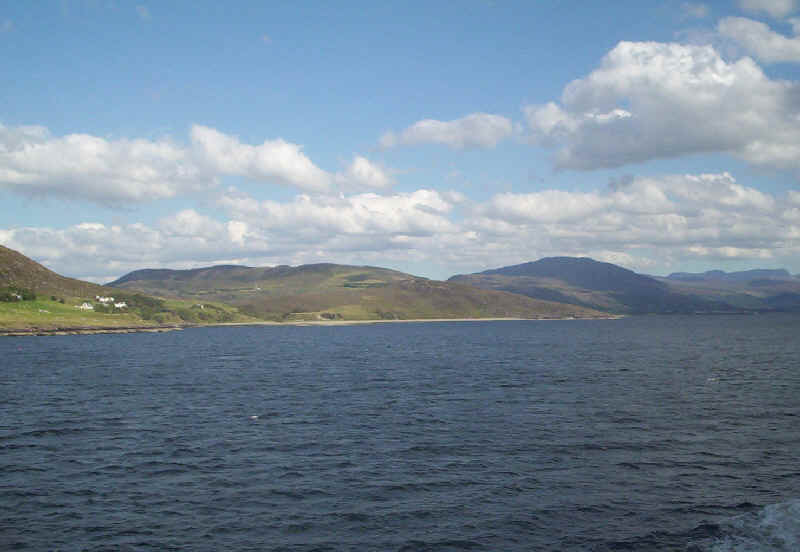
Looking north east as the ship leaves Stornoway...
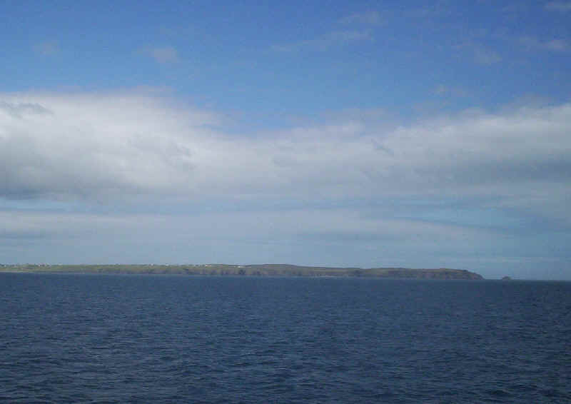
....and to the south west with the hills at the northern end of Harris visible in the distance.
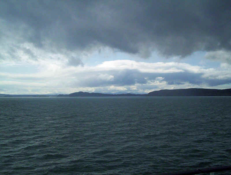
The Summer Isles...
.....and the Scottish mainland north of Ullapool.
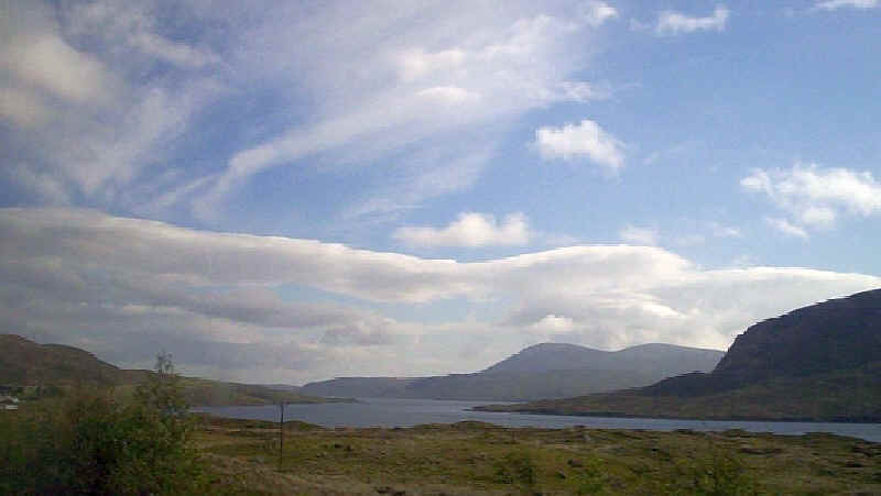
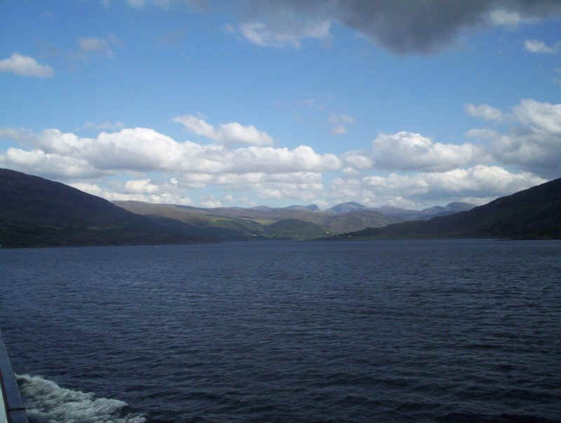
Heading straight for Loch Broom and Ullapool with the An Teallach mountains in the centre.
The ship heads up Loch Broom with a glance back to the sea.
The northern shores of Loch Broom.
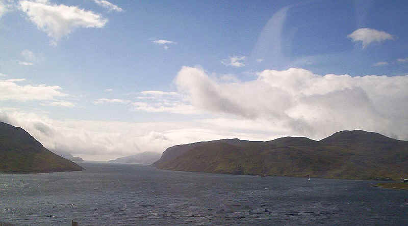
Looking towards the head of Loch Broom as the ship turns to head .....
.....into the harbour at Ullapool.
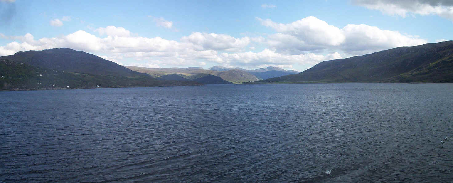
Click on the panoramic photo of the head of Loch Broom/
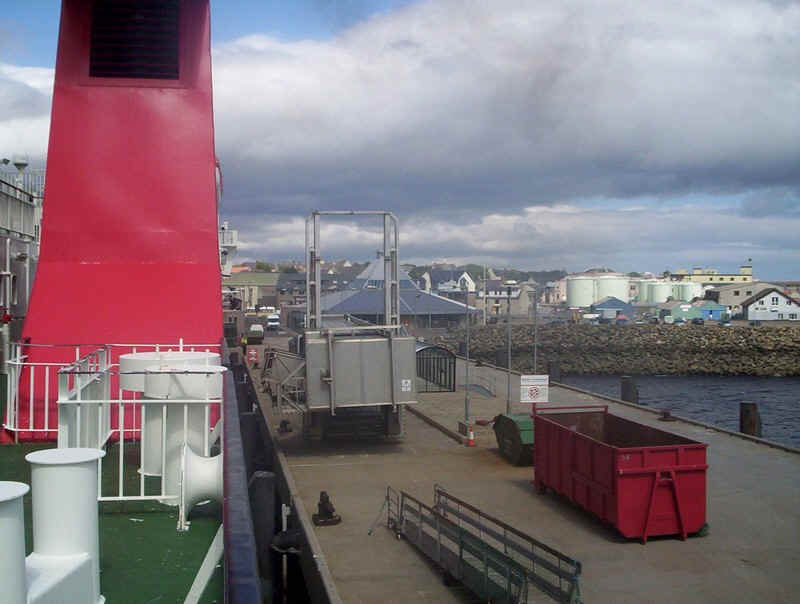
Ullapool pier...
...and linkspan.
The "Isle of Lewis"
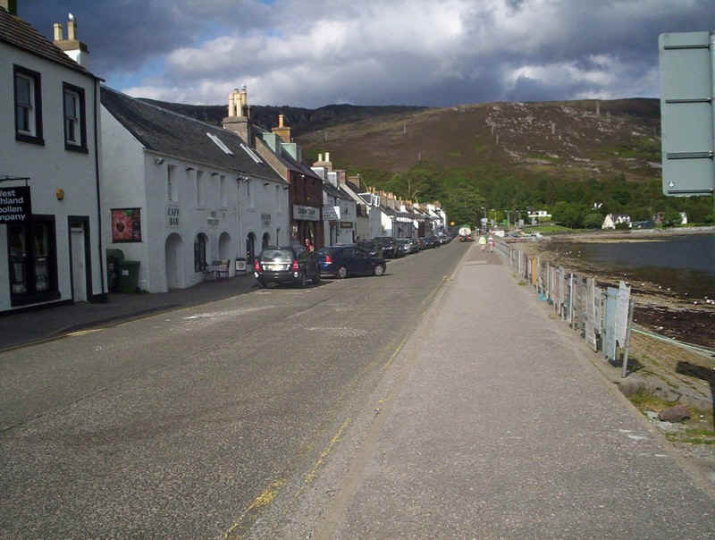
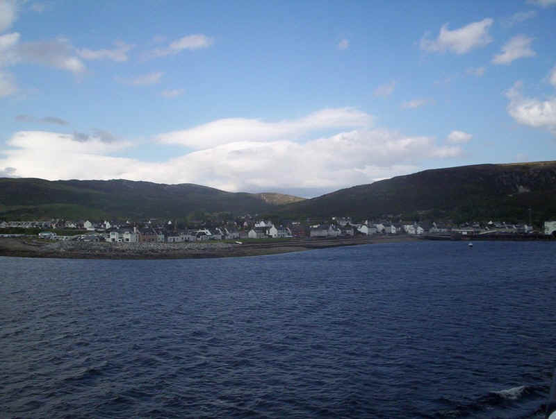
Ullapool main street.
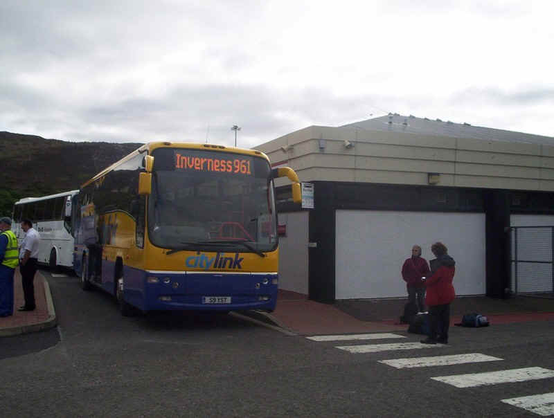
The next day it was back to Inverness by Citylink coach and the end of our fifth Scottish Island holiday.