Shetland Islands Journeys
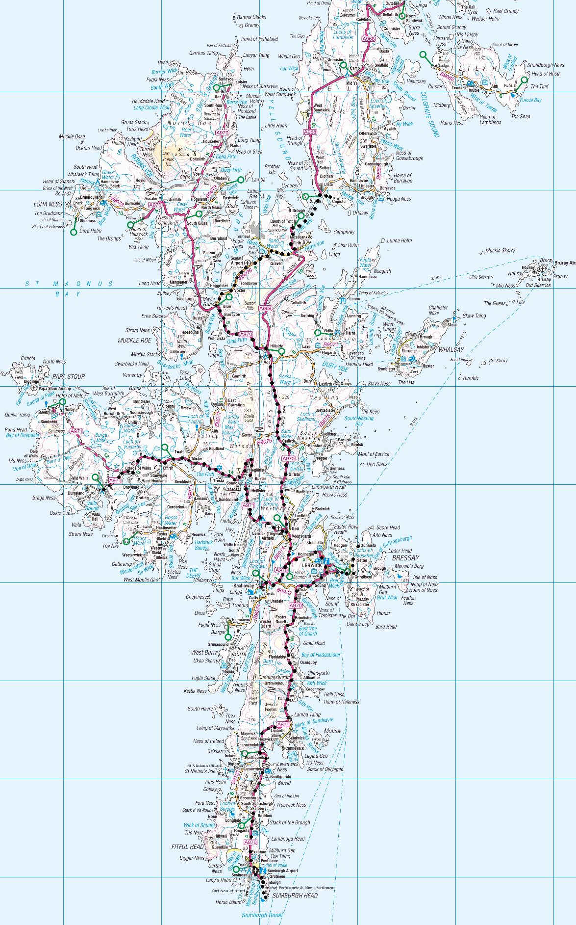
The black dots show the route we took during our visit to the Shetland Islands.
First day
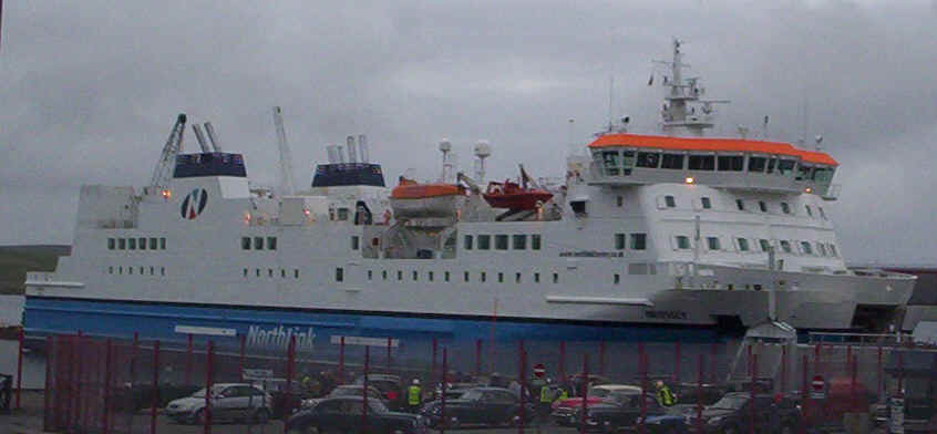
We arrived in Lerwick on the overnight ferry from Kirkwall and at the cargo quay....
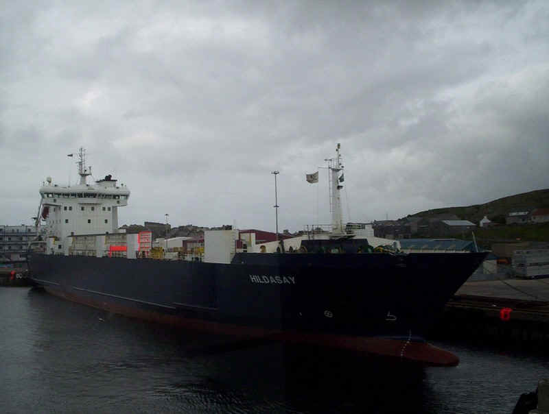
.....next to the passenger terminal was the Northlink freight ship the Hildasay.
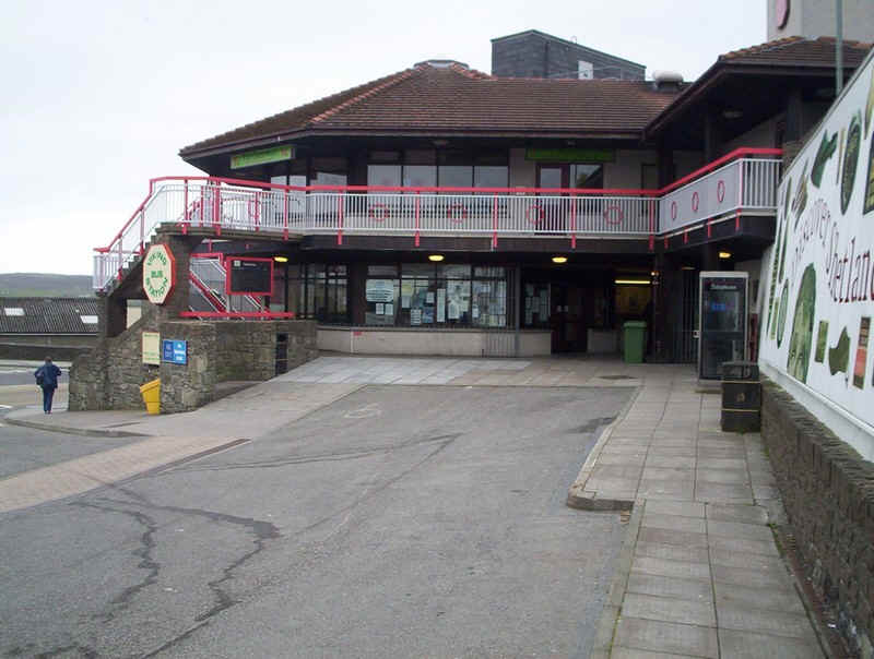
All bus journeys in the Shetland Islands begin here at the Viking bus station in Lerwick. What a pity that there is no proper timetable information available here. Luckily I'd printed off the bus timetables from the Internet.
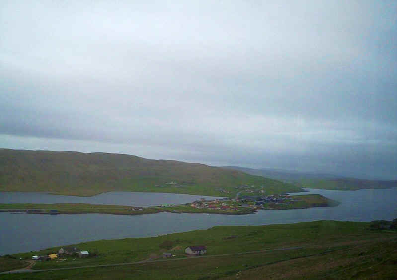
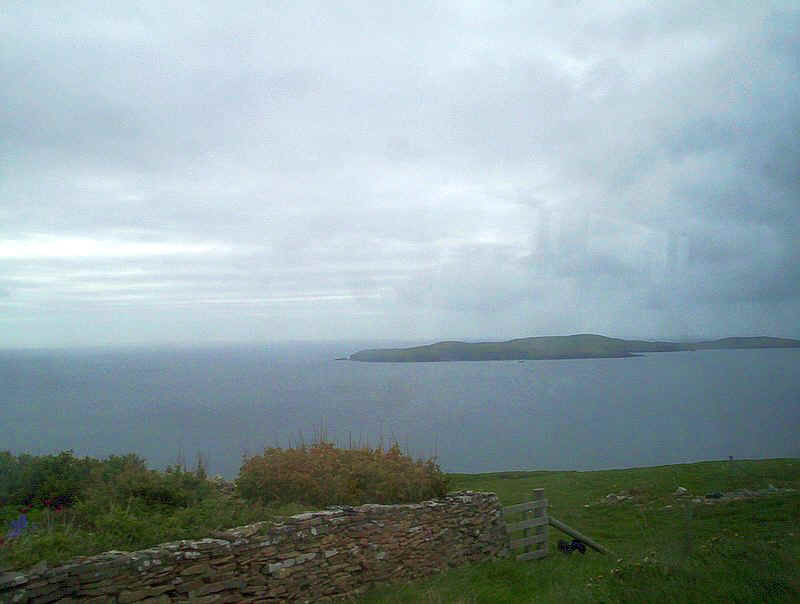
Our first journey took us to Walls. Some of the photos were taken through bus windows so are not as clear as usual but give an idea of the landscape. This is looking across Weisdale Voe with the settlement of Hellister across the water. The road from Lerwick passes through Hellister and then takes a long loop around the head of the voe before climbing....
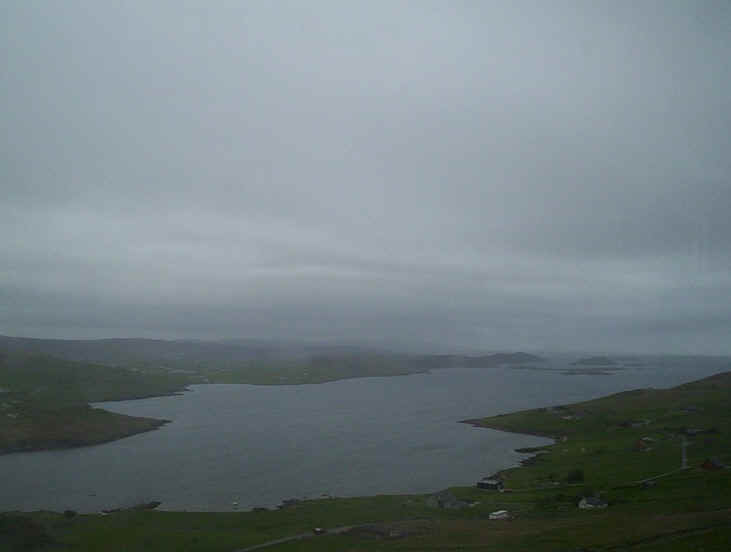
.....high above the water. This is looking down the voe towards the Atlantic
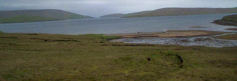
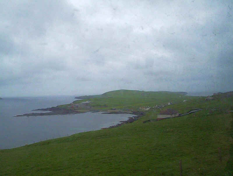
The road then drops down to run along the shores of the Firth with the entrance to the sea through Sandsound Voe visible.
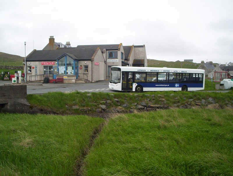
The bus terminal at the village of Walls. The driver informed us that there had been an improvement to the number of off-peak bus services this year as otherwise we wouldn't have been able to do the journey. We only had about 20 minutes here so...
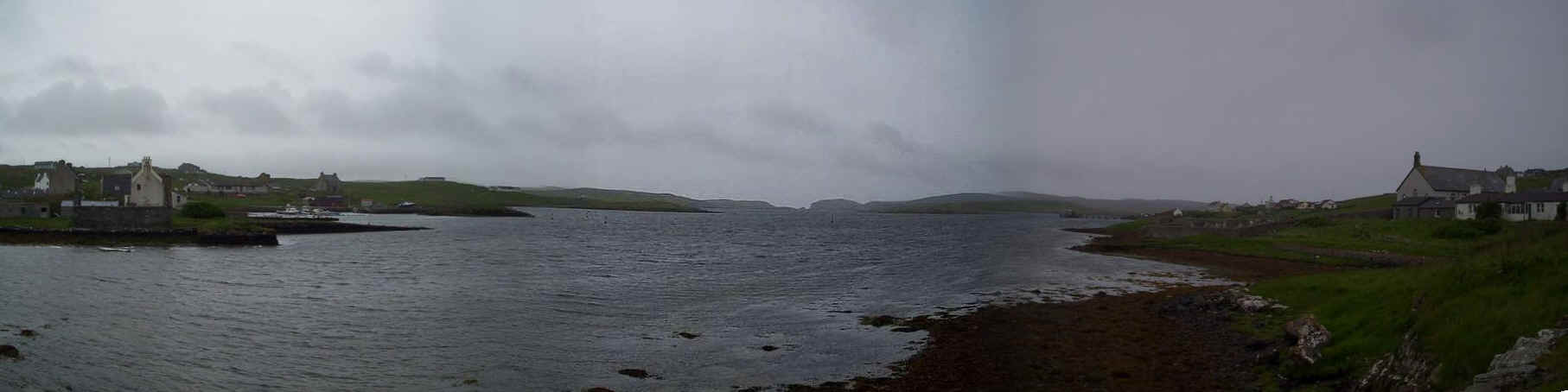
.....we quickly walked through the village. The panorama shows Vaila Sound with the island of Vaila in the distance. The reason for the extra services was clear when we returned to Lerwick; the bus was nearly full with people from the villages along the route going shopping in Lerwick.
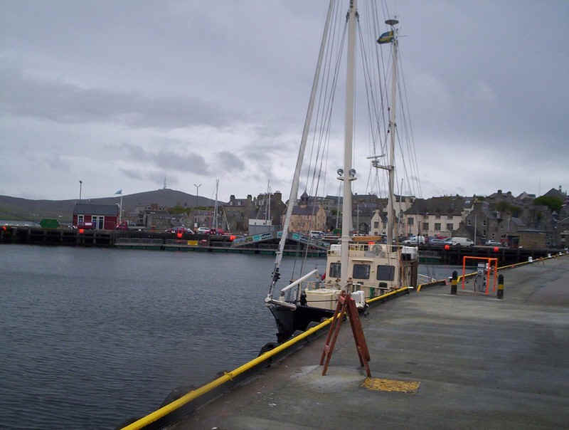
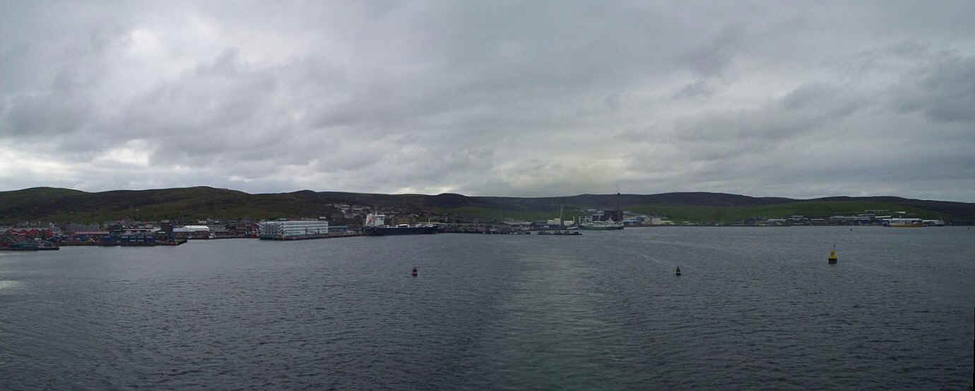
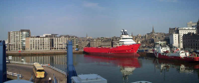
Back in Lerwick we wandered around the harbour.....
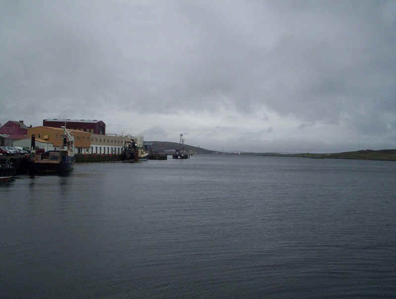
......which is one of the finest natural harbours in Europe (or so the guidebooks say).
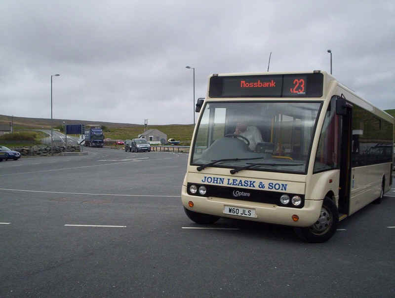
In the afternoon we took the long bus route up to Mossbank for the ferry connection to Yell. The high quality of Shetlands main roads was obvious on the journey. Sadly reflections on the bus windows prevented me taking any photos. The route passes Mavis Grind near the village of Brae where the Atlantic Ocean and the North Sea are only a few metres apart. Then the road runs along Sullom Voe, which has been spoilt in parts by the North Sea oil terminal and very busy airport.
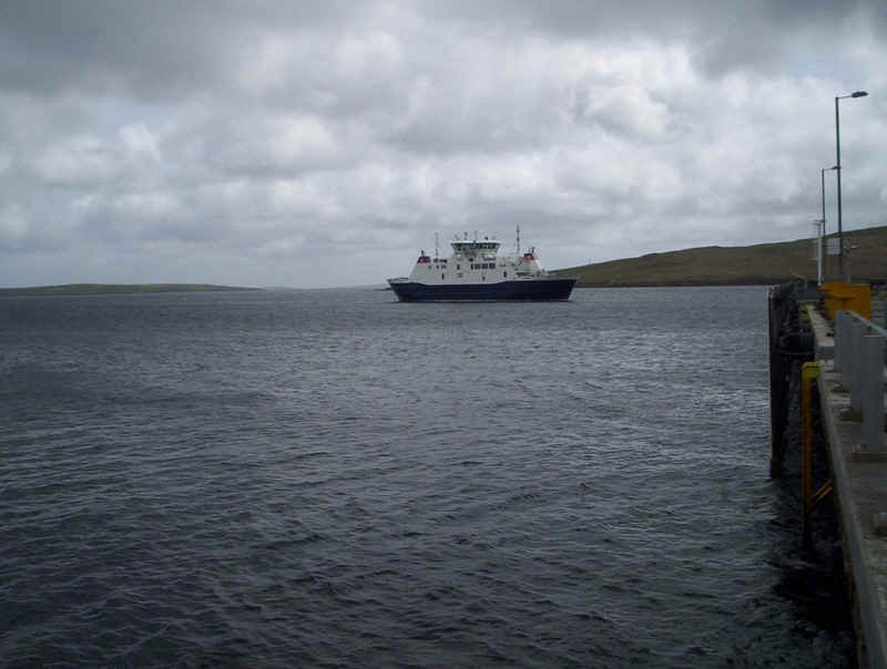
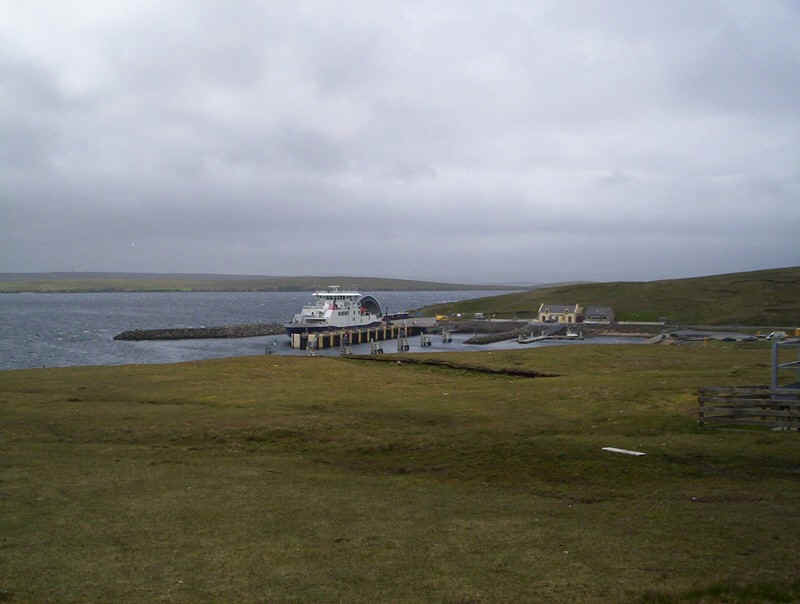
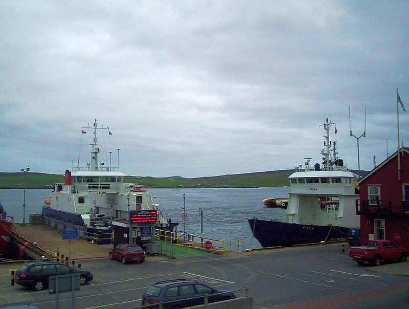
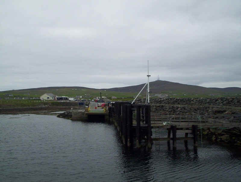
At Mossbank the frequent ferry services across Yell Sound to the island of Yell is maintained by two modern and very comfortable ferries.
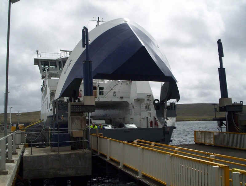
This is the "Dagalien" raising its bow door at the link span at Toft.
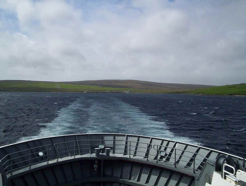
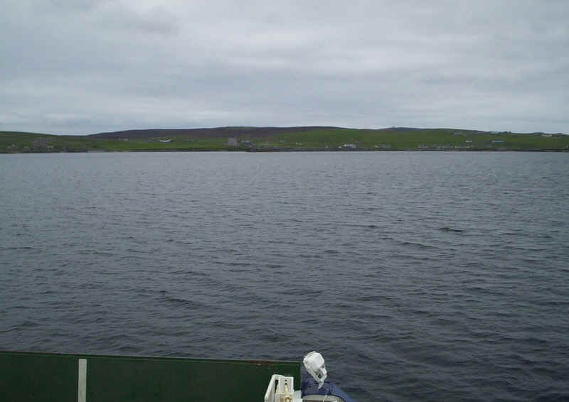
The view as the ferry leaves the Mainland.
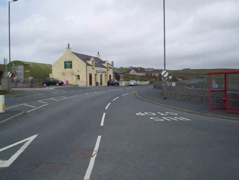
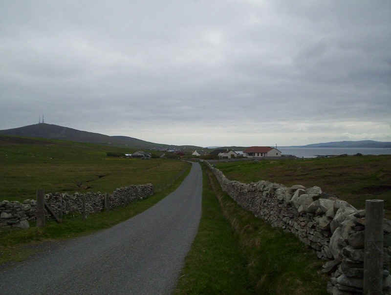
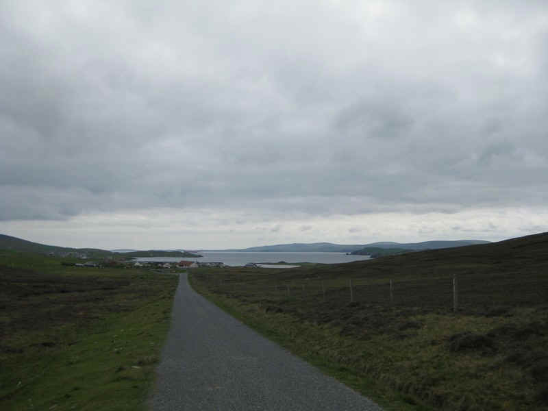
The hamlet of Ulsta is where the ferry berths on Yell. Sadly bus services here are almost non-existent and are orientated purely for people travelling from the island in the morning and returning in the evening.
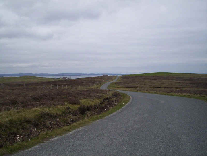
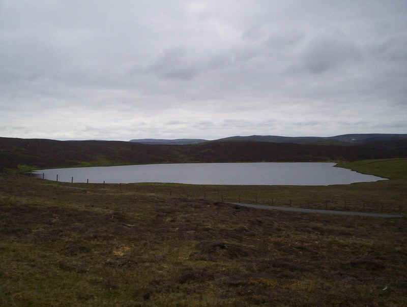
It was extremely windy but we decided to use the 90 minutes we had on the island to walk along one of the lanes that parallel the Yell Sound. The sun shining through the clouds gave us some spectacular seascapes.
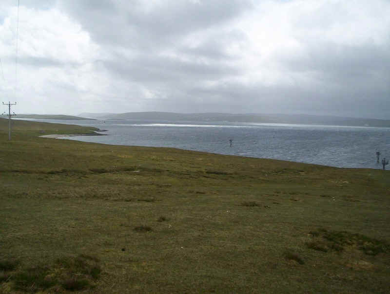
Looking back to the ferry terminal the complete absence of trees is obvious; sheep grazing is dominant on Yell.
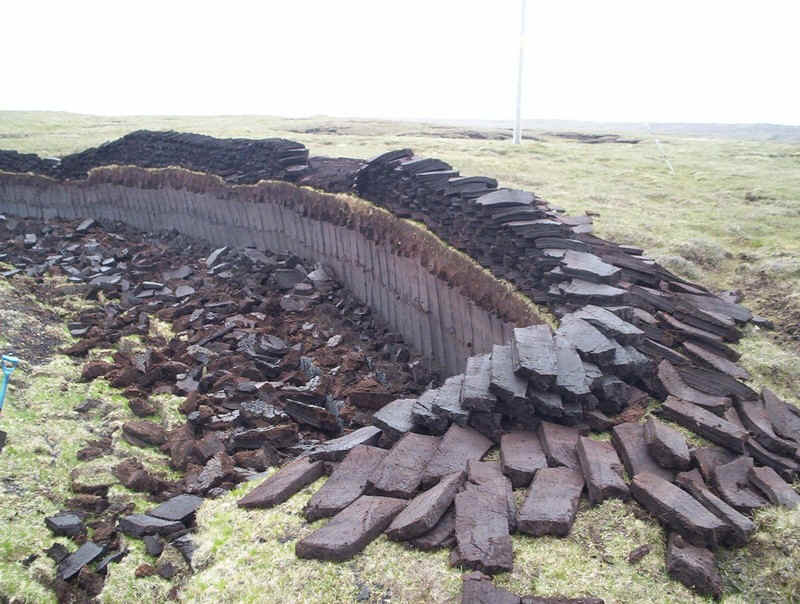
Peat cut and laid out to dry.
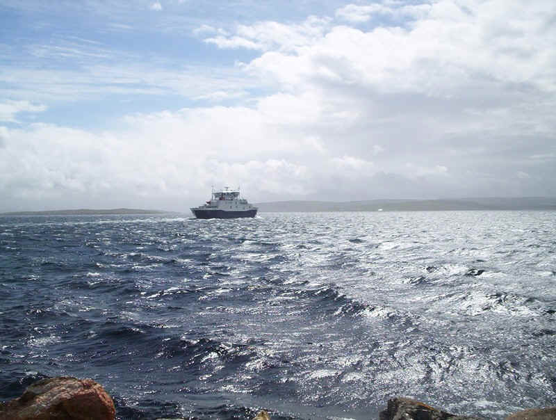
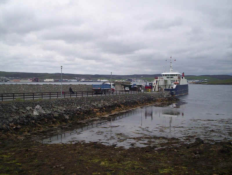
The other ferry, the "Daggri" took us back to the Mainland. Here it approaches Yell. Nobody seemed interested in charging us for our return journey either on the ferry or at the booking office!
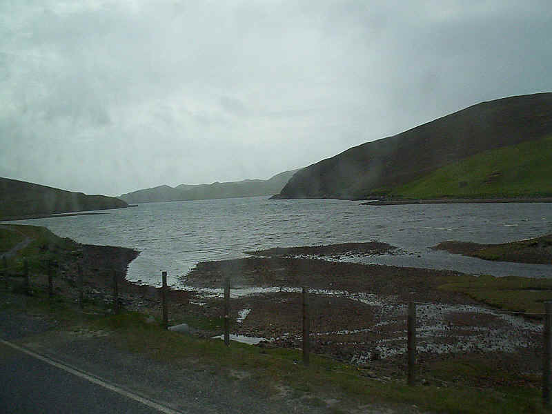
The only photo I managed to take on the bus journey was towards the head of Sullom Voe, which the road follows for several miles.
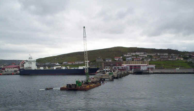
That evening the ferry "Hjaltland" awaits departure for Aberdeen.
Second Day
For our second day on Shetland we headed south on the bus to Sumburgh. This is the island of Mousa, which is famous for the most complete broch (a fort built in the last few centuries BC or early centuries AD) in Scotland.
The bus goes down into the village of Sandwick, where the ferry to Mousa normally sails. Unfortunately in 2010 the ferry couldn't use the pier here so we weren't able to fit in a visit; maybe next time.
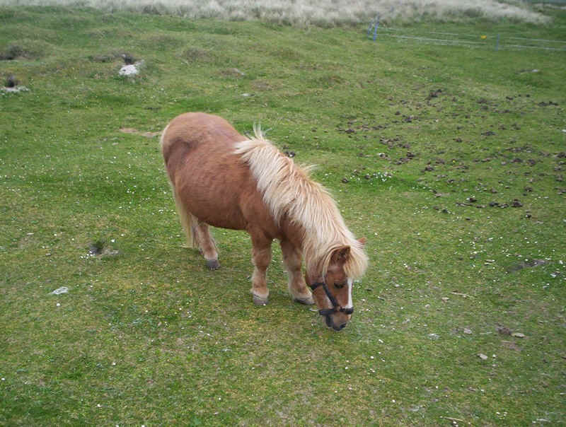
After leaving the bus at the Sumburgh Hotel we walked down the lane to Jarlshof passing several Shetland ponies on the way.
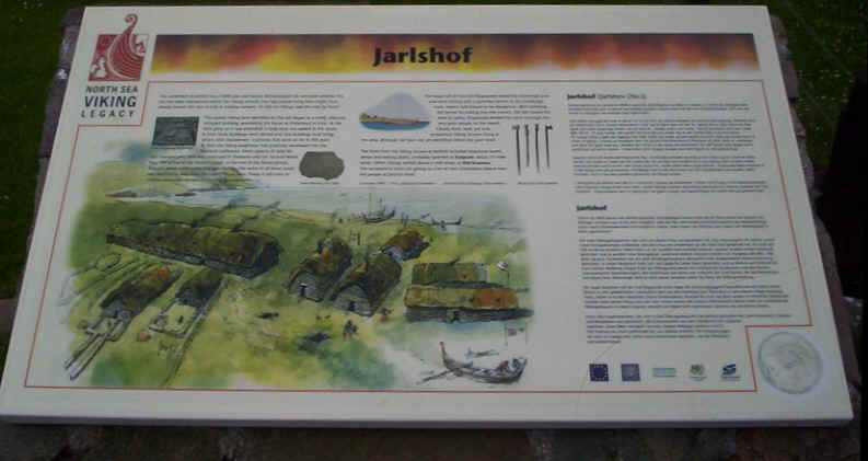
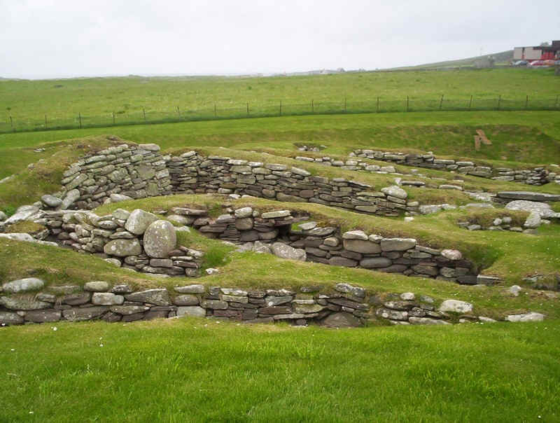
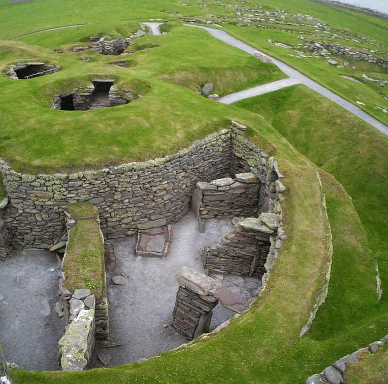
The historic settlement of Jarlshof is one of THE sites to visit in Shetland, if not the whole of Scotland, covering and enormous span of settlement from the Stone age onwards.
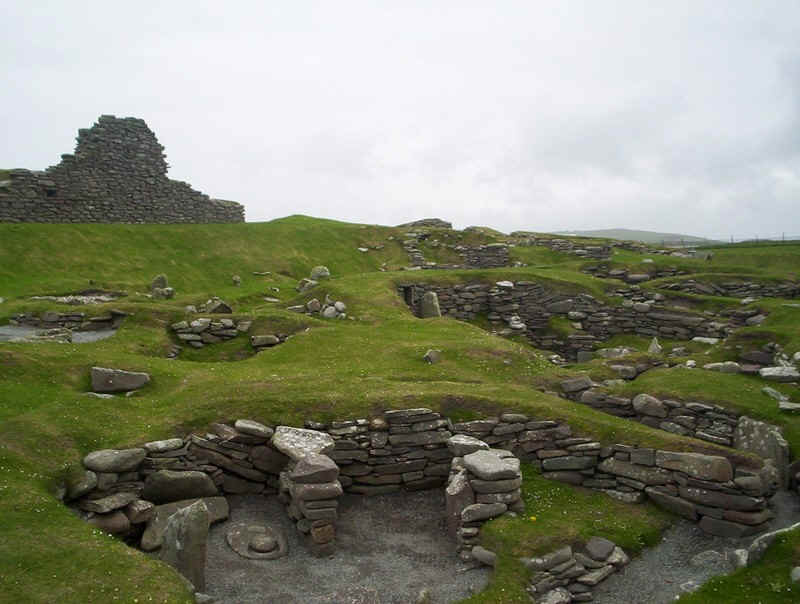
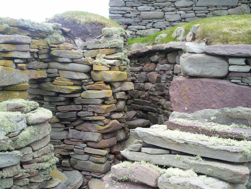
The Iron Age village.
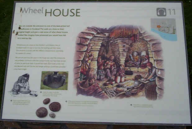
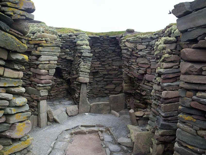
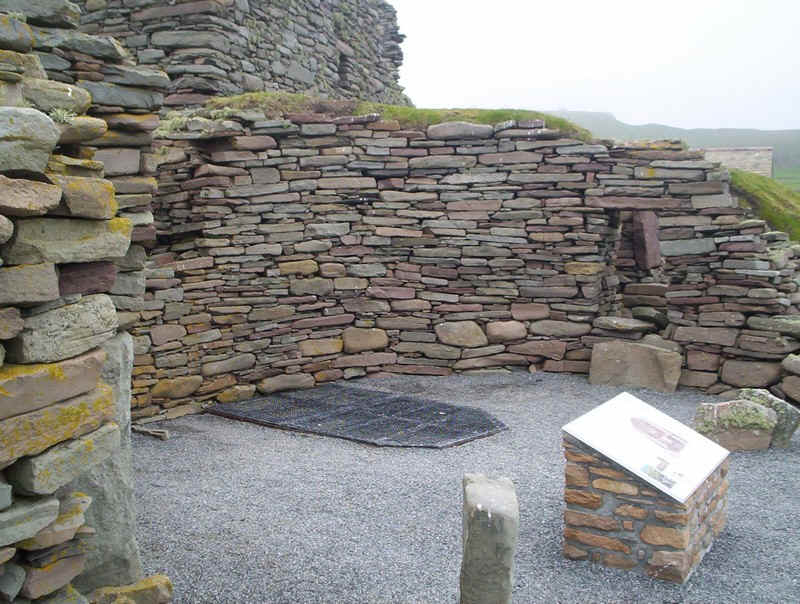
The interior of a wheelhouse
Exterior of the wheelhouse.
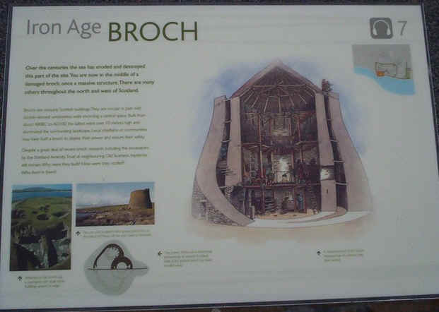
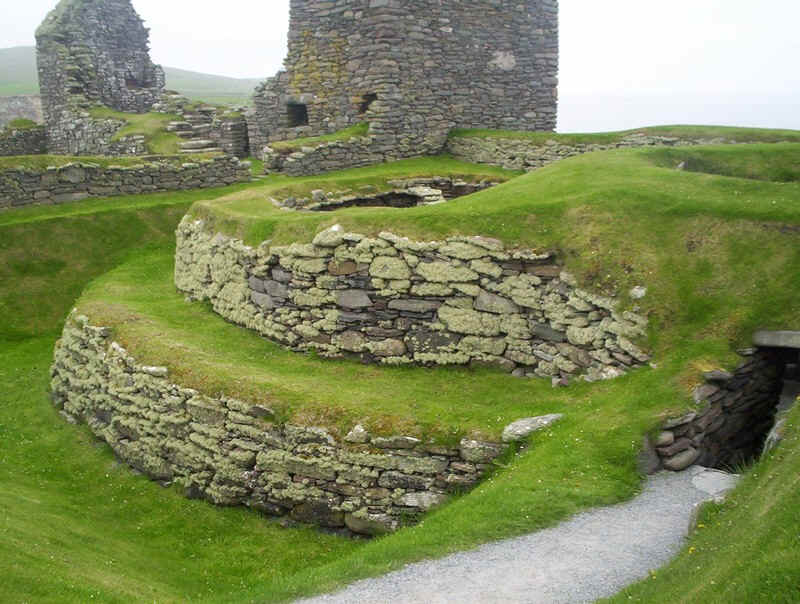
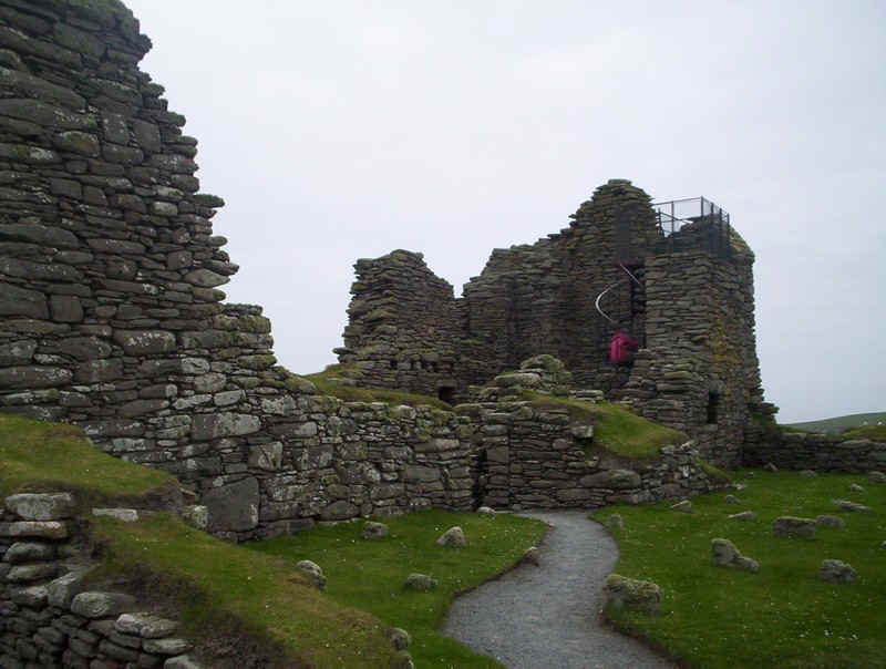
Interior of the remains of the broch.
Another view of the broch.
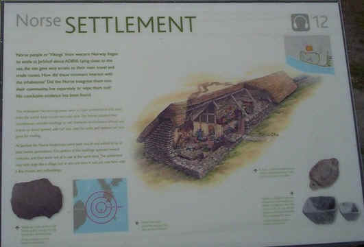
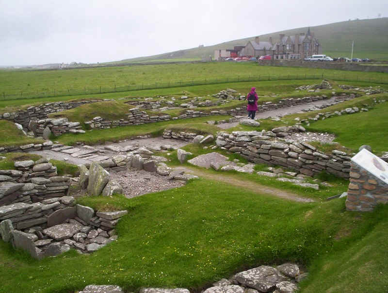
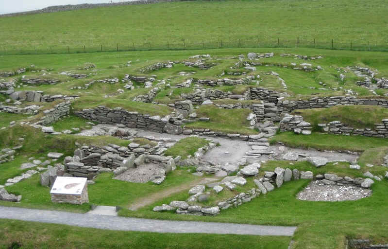
Two view of the Norse settlement
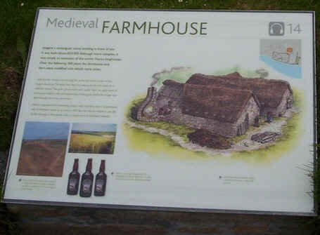
The remains of the medieval farmhouse
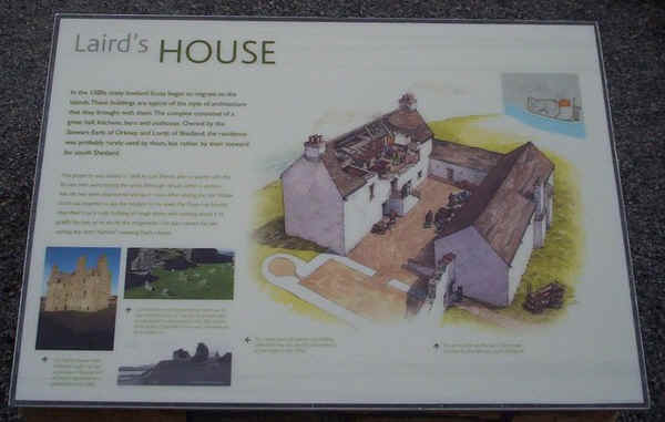
The Laird's house
The remains of an upper floor fireplace in the Laird's house.
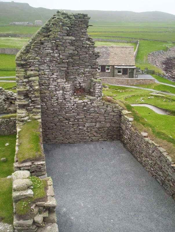
An overall view of Jarlshof
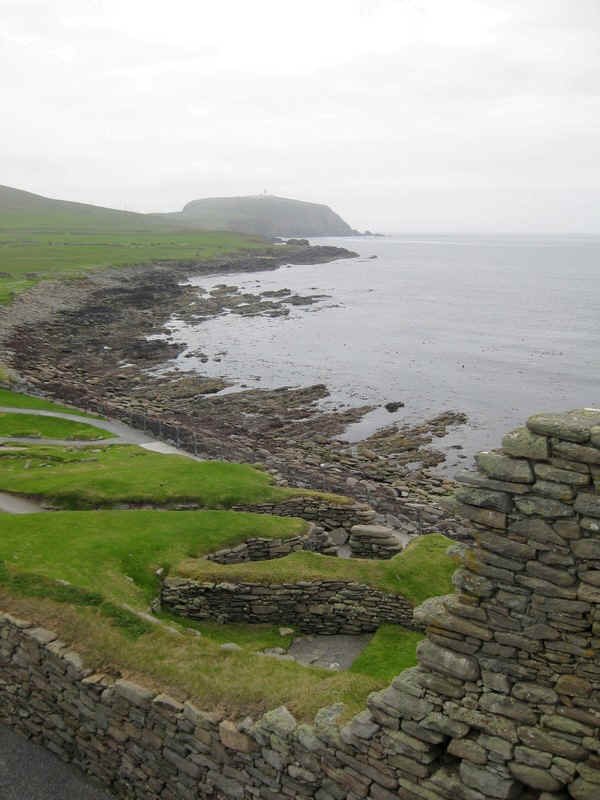
Looking towards Sumburgh Head with the Atlantic Ocean.
The Atlantic....

The sands of the Bay of Ovendale.
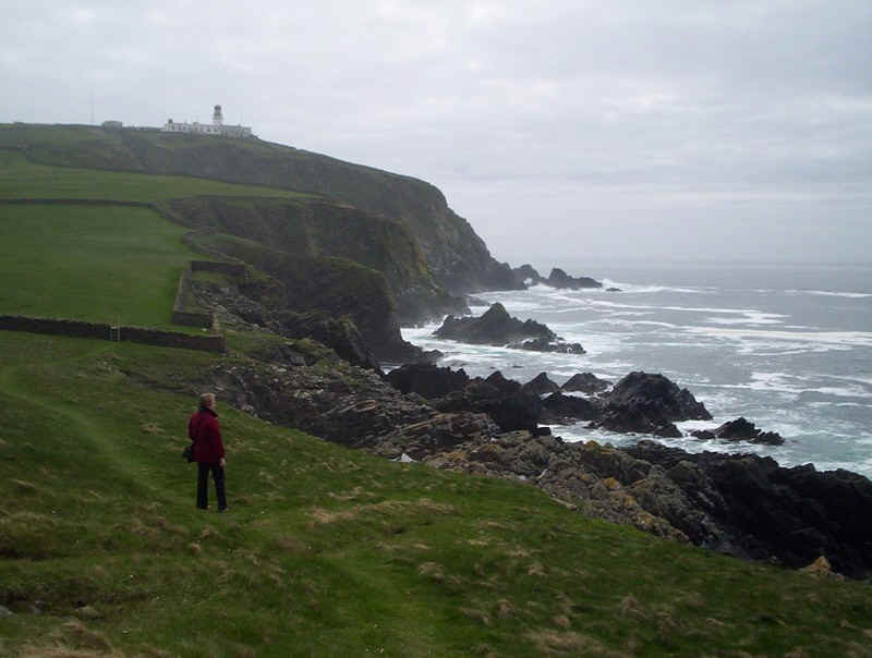
After our visit to Jarlshof we walked through the fields and along the cliffs to Sumburgh Head and its lighthouse.
Atlantic breakers ..
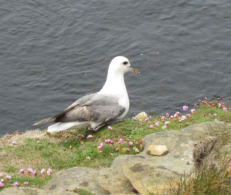
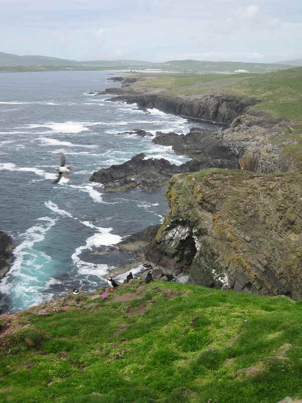
It's a bird-watchers paradise along the cliff path. This is one of the thousands of fulmars...
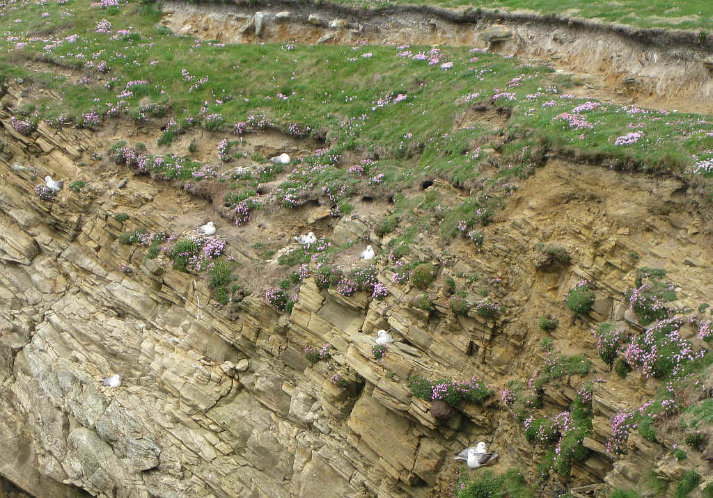
....with others sitting on their nests on the cliffs.
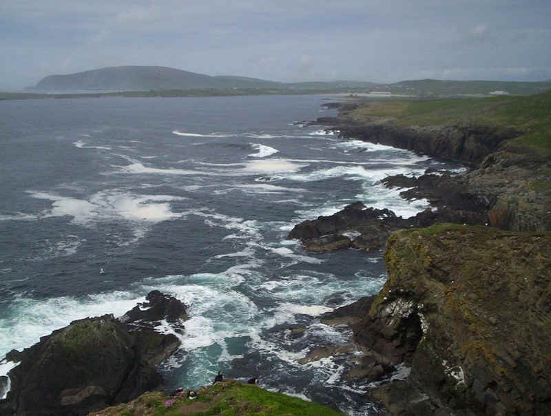
The dramatic cliffs of Sumburgh Head with the Atlantic Ocean.
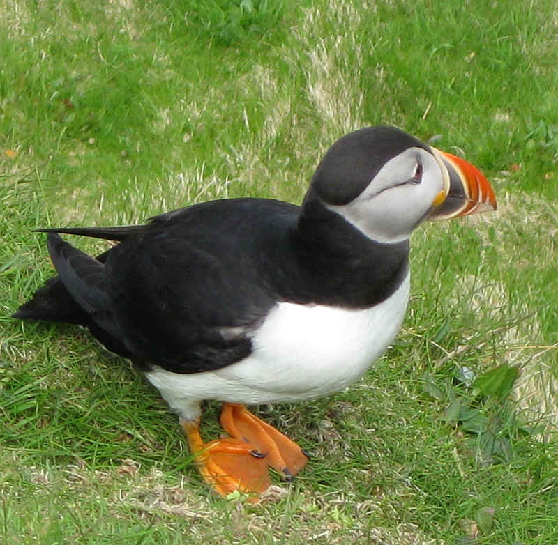
Thousands and thousands of puffins live here and it's possible to get really close to them; they seem almost oblivious to the presence of humans.
A puffin in flight.
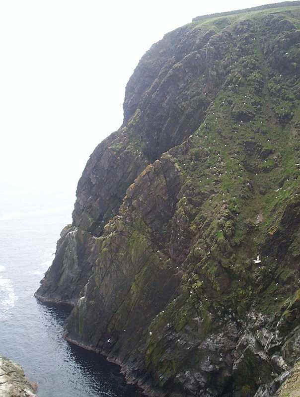
On the North Sea side of the headland the cliffs are even more impressive. This is the view taken over the wall.
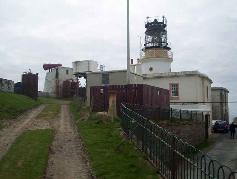
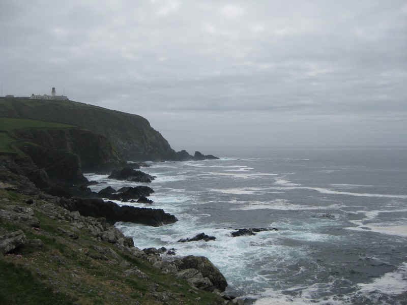
Sumburgh Head lighthouse with its foghorn. On my first visit here, on a misty day, the sound was almost deafening.
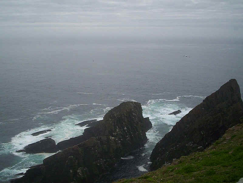
Another view of the rocky headland on the North Sea side
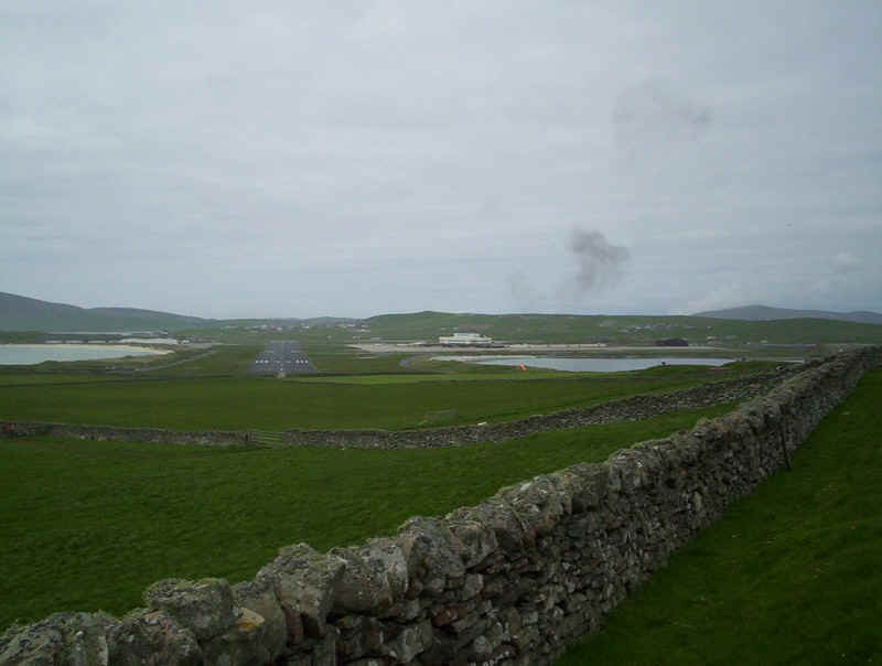
Looking across towards Sumburgh Airport
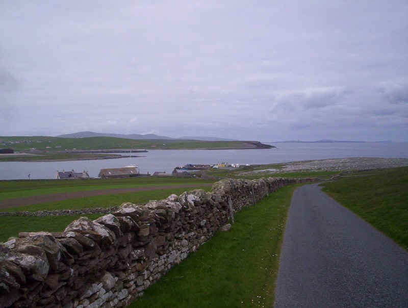
We walked back down the lane from the headland to Grutness, from where the small ferry to Fair Isle leaves every day.
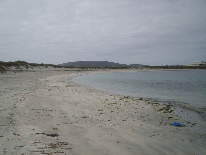
We couldn't resist the chance to walk along the sands of Grutness Voe on our way back to the airport.
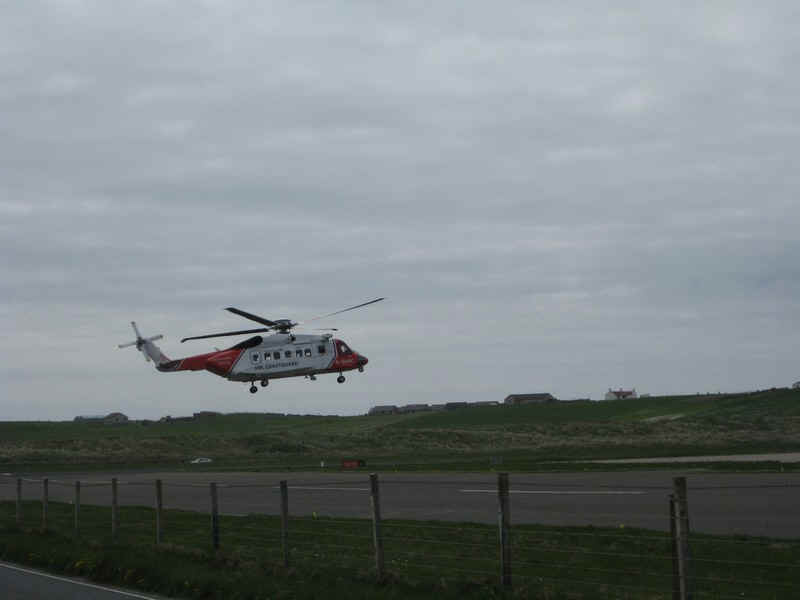
A Coastguard helicopter taking off.
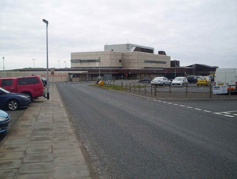
Sumburgh Airport feels totally out of place in this wild location but it's where the bus service back to Lerwick starts. We used one of the non stop (and more expensive) minibus connections and were entertained by the driver who told us a great deal about life on the island.
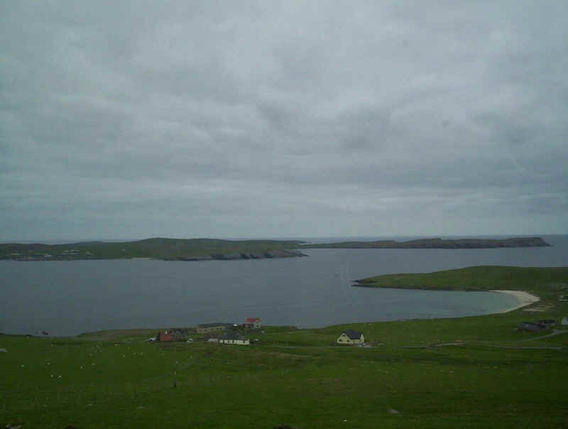
A view taken from the bus back to Lerwick.
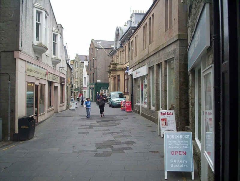
Lerwick's main street is somewhat reminiscent of those in Kirkwall, with no separate roadway.
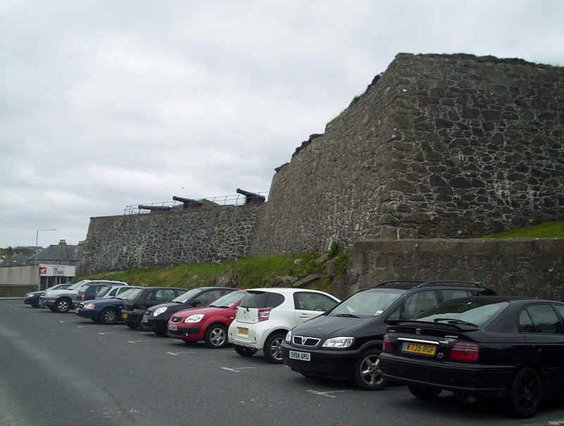
The ramparts of Fort Charlotte in Lerwick.

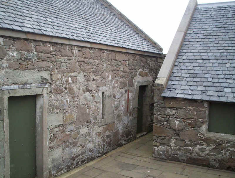
The old gun powder store..
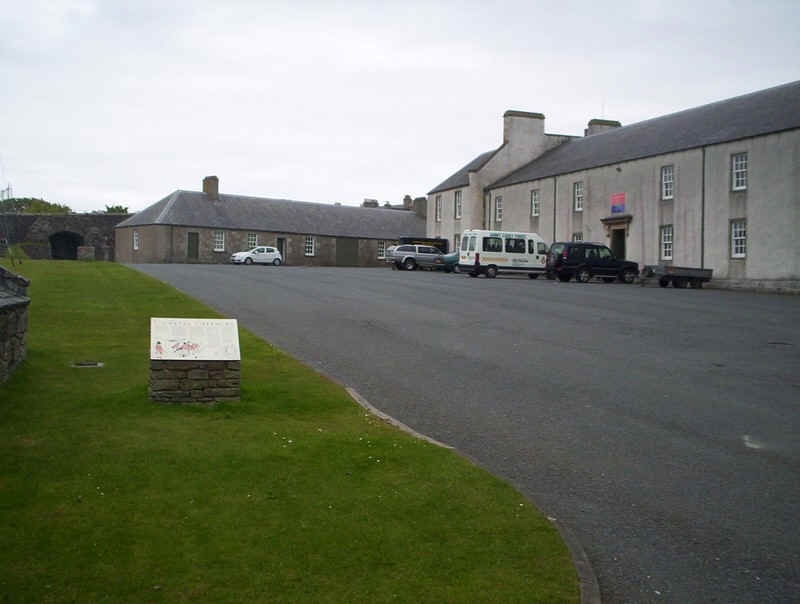
....and the main barracks building...
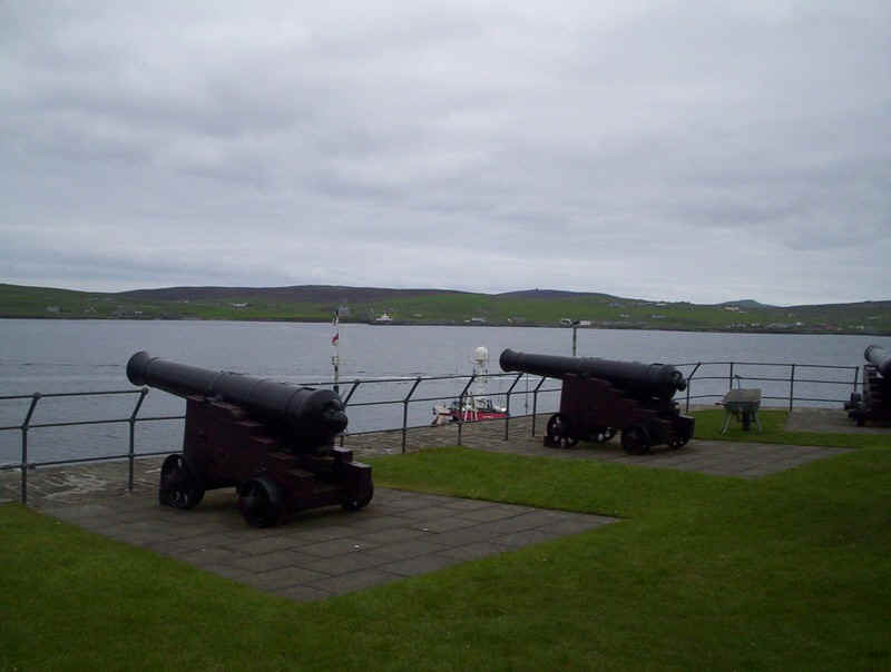
.....with the cannon pointing across the harbour.
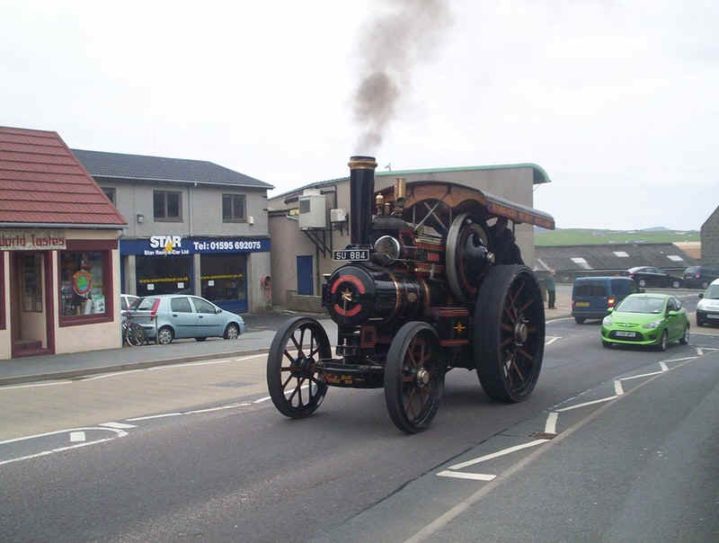
There was a vintage car rally in Lerwick the following weekend and here a traction engine holds up the rush hour traffic, causing long tailbacks.
Day Three
For our third day on Shetland we decided to visit Scalloway in the morning and the island of Bressay in the afternoon, before taking the overnight ferry to Aberdeen.
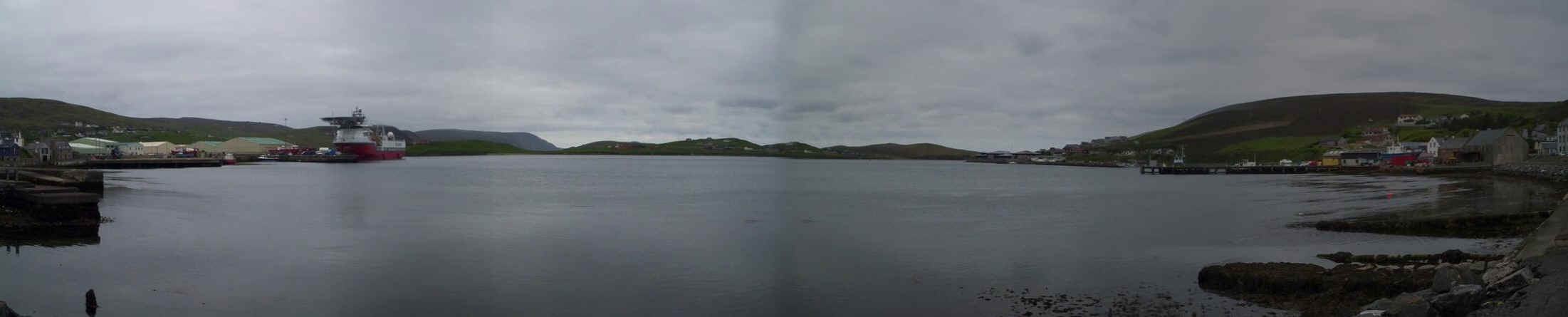
A panorama of Scalloway harbour. Scalloway is the second largest settlement on the island and a major fishing and fish-processing centre.
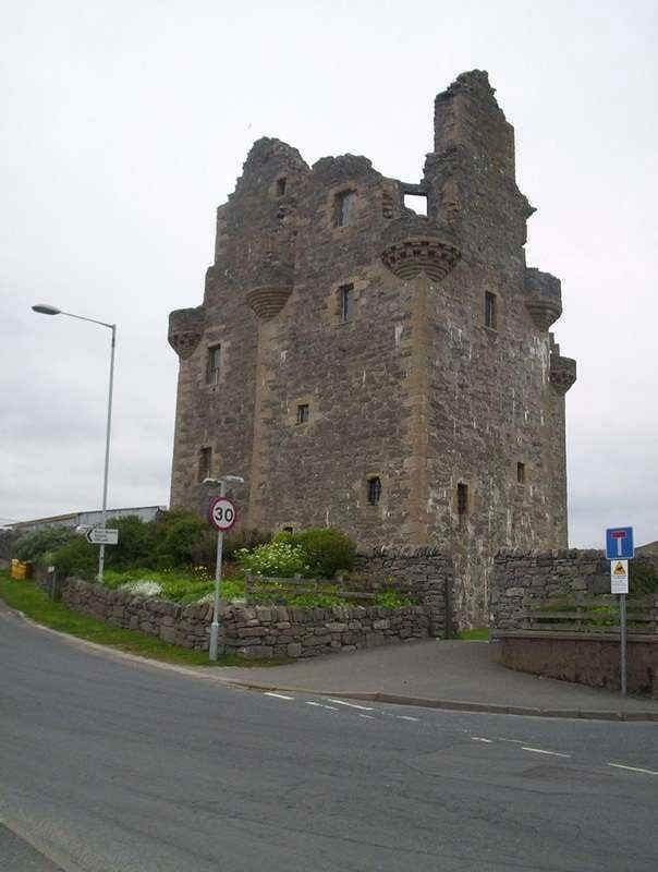
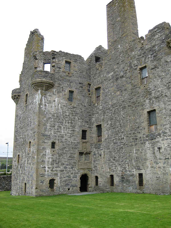
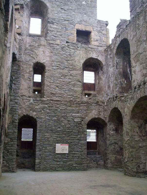
Scalloway Castle keep. The keys have to be obtained from the hotel and returned afterwards! Below are further photos of the exterior and interior.
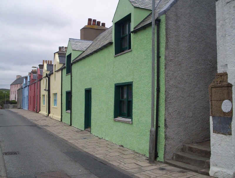
The painted house are something of a surprise - reminiscent of Ireland.
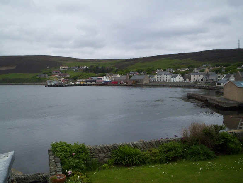
Looking over the bay with Scalloway village.
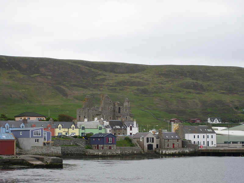
From the other side of the bay Scalloway castle dominates the village.
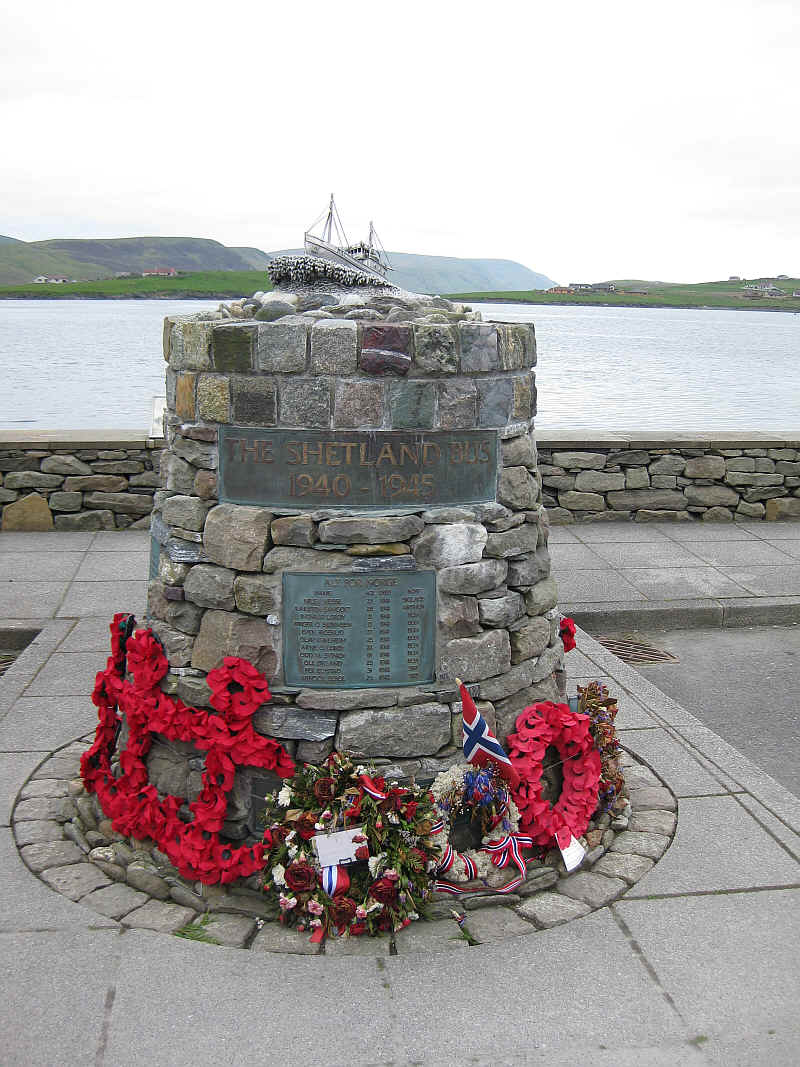
The memorial commemorates the "Shetland Bus" wartime exploits to and from occupied Norway.
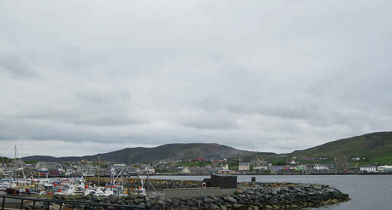
Looking across the bay with the harbour and its fishing fleet and yachts.
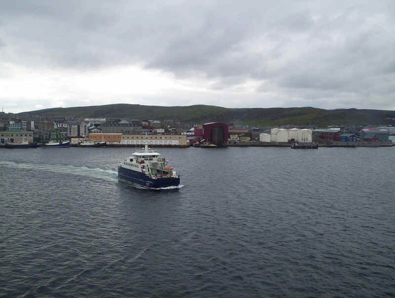
Back in Lerwick we crossed over to Bressay on the frequent ferry service.
Approaching Bressay....
......and the pier. Behind is the television mast on the Ward of Bressay,
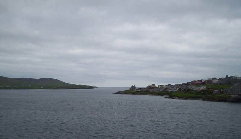
Looking back to the ferry with Lerwick across Bressay Sound.

We walked from the ferry terminal uphill along the lanes. The panorama is across the Sound to Lerwick. Click on it for a larger image.
We decided to walk to the north end of the island along the lane to Gunnista. This is the view looking back to the Ward of Bressay.
The lane continues across open moorland....
past the Lochs of Beosetter...
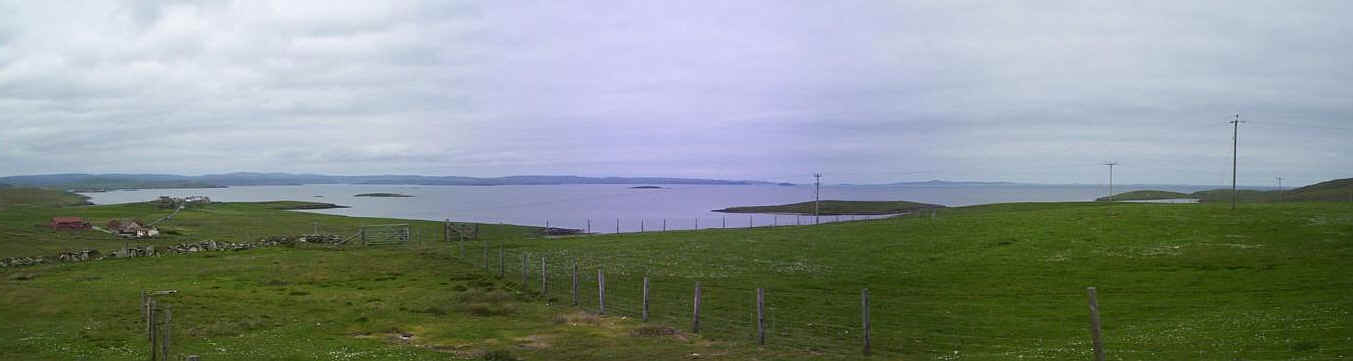
.....to reach this vantage point above Beosetter. Click on the panorama to see the full extent of the seascape with the mainland of Shetland to the left and views northwards to Whalsay, Yell and the Outer Skerries.
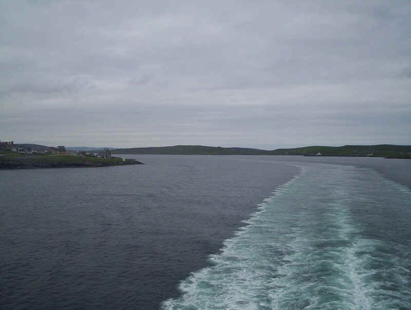
On the way back to the ferry this is the view down the Bressay Sound towards the south of the mainland.
Leaving the Northlink ferry terminal aboard the "Hjaltland".
A panorama of Lerwick harbour. Click on it for a larger image.
The Bressay ferry is dwarfed by the "Hjaltland" as it crosses the sound.
Looking forwards as the ship passes the Ness of Sound point on the right.
A final look back up the Bressay Sound.
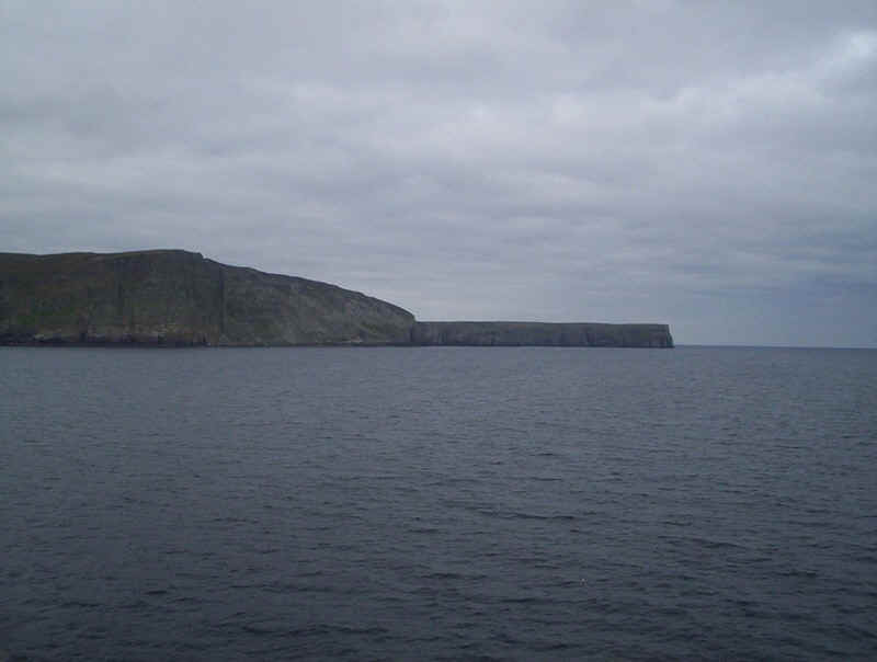
The ship is about to enter the open sea as it passes the southern tip of Bressay at Bard Head.
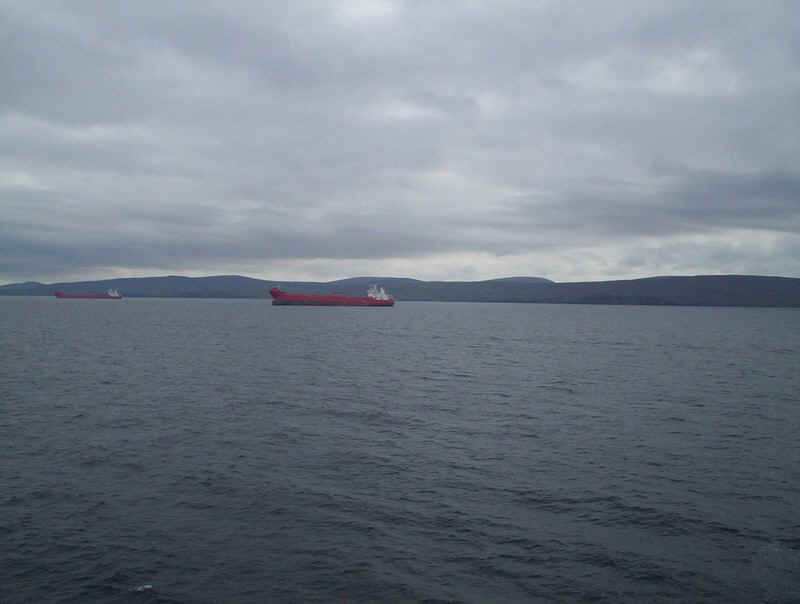
Several of the oil tankers, used to collect oil from the platforms out in the North Sea, were at anchor.
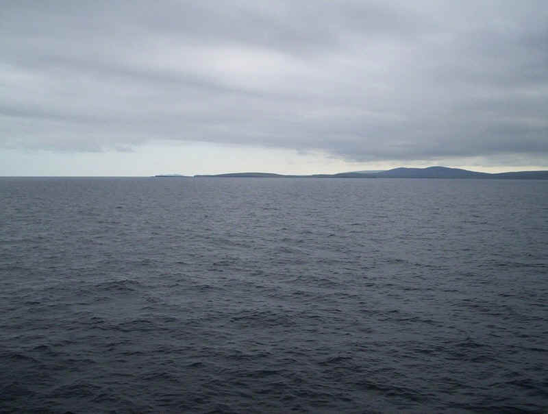
Looking south towards the south of the Island. By this time our dinner appointment in the ship's superb restaurant was approaching so no more photos...
.....until we approached Fair Isle.
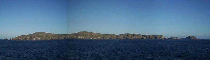
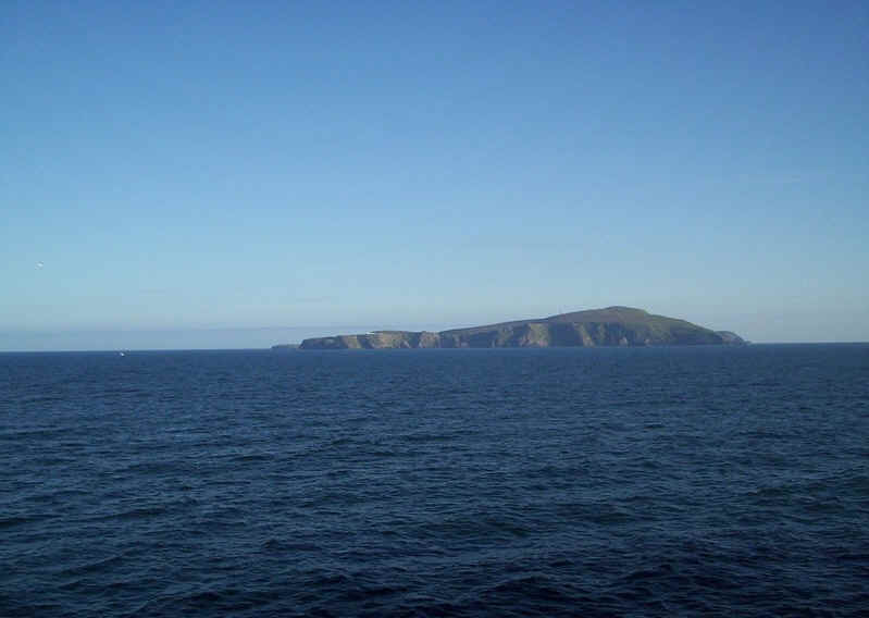
I took a succession of photos as we passed Fair Isle to give this dramatic impression of its Western side.
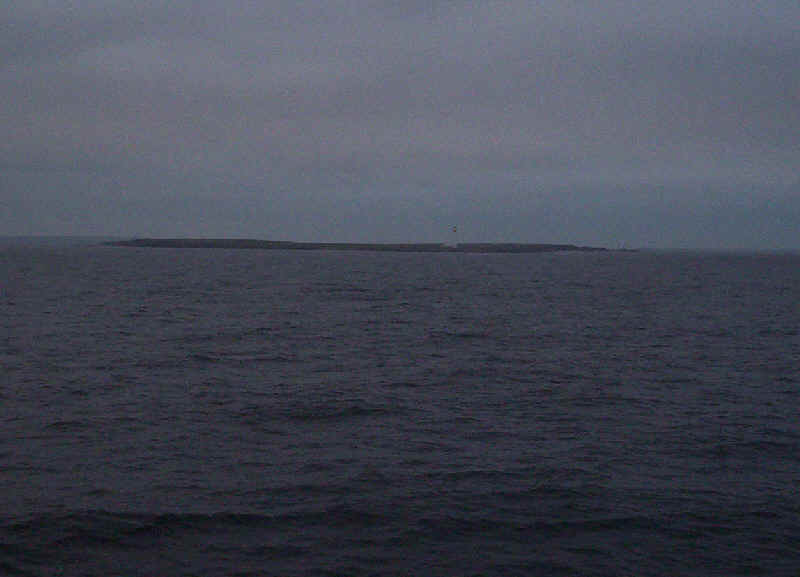
Passing the lighthouse on either North Ronaldsay or Sanday in the gathering darkness of a June evening.
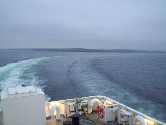
The "Hjaltland sweeps into the harbour at Kirkwall with Shapinsay in the background.
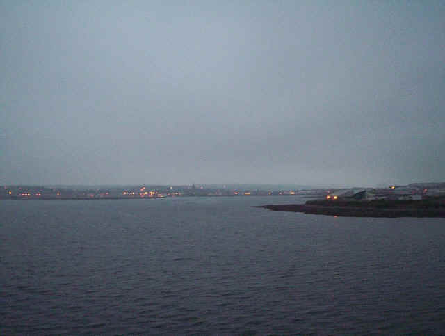
Kirkwall at nearly midnight and it's still not dark.
The next morning the "Hjaltland" is tied up at the link span in the inner harbour at Aberdeen.