Beinn a' Bhuiridh
The map above shows my track taken from my Spot personal tracker. Click on the top right corner to see a larger map.
I climbed Beinn a' Bhuiridh in September 2023 basing myself in Oban and travelling to.....
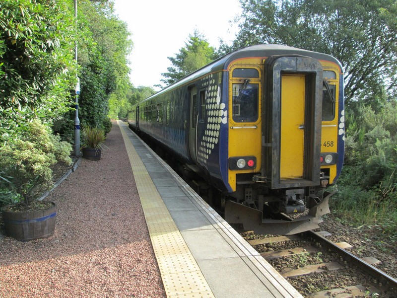
....Loch Awe station by train.
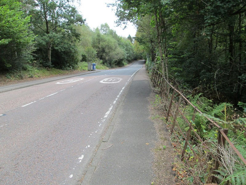
The first section of the walk, for about 20 minutes, is along the main A85 road, but there is a pavement along the whole of this section.
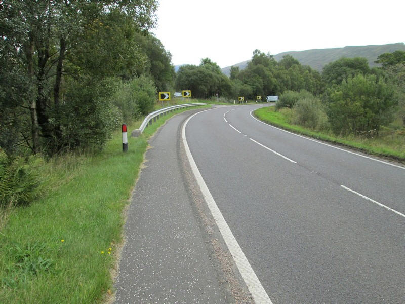
At the junction of the A85 and B8077 take the minor road at this bend....
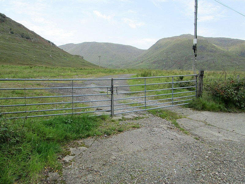
...and then it is an immediate turn through this gate onto a road built during the construction of the Cruachan HEP scheme.

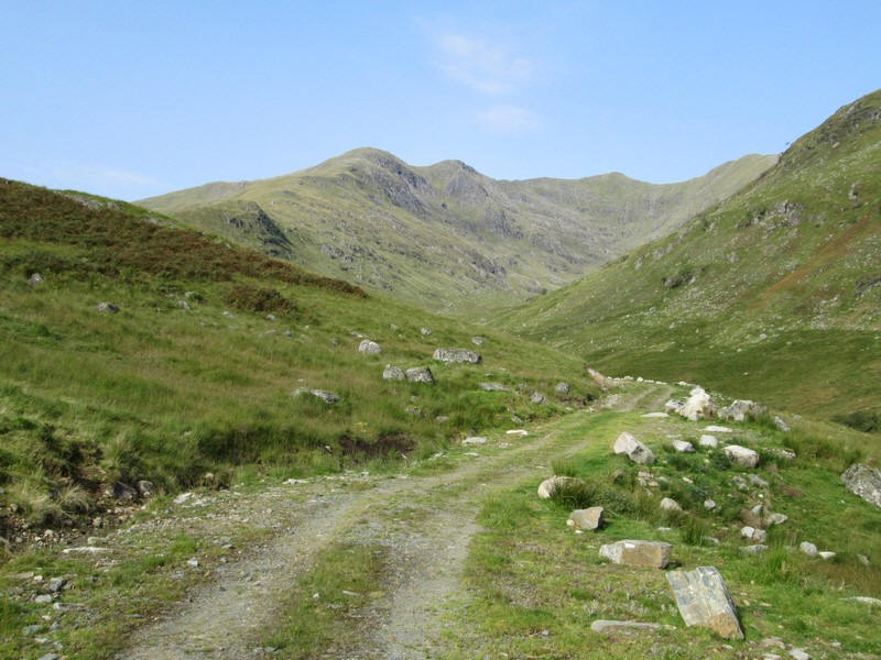
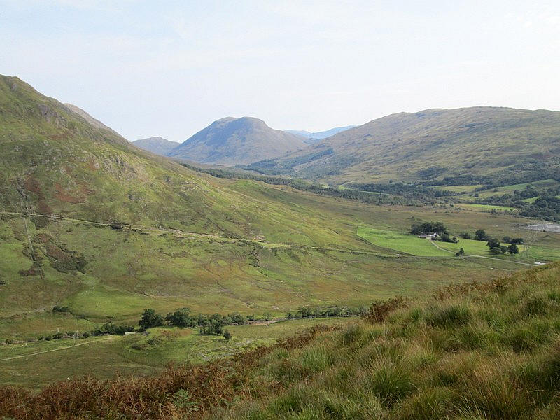
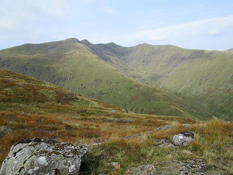
The walk enters the glen that leads up to three of the Munros in this area. Over to the left is the ridge coming down from Stob Daimh, whilst directly ahead is Beinn a Chochuill and over to the right is Beinn Eunaich.
On the extreme left are the slopes of today's hill, Beinn a' Bhuiridh.
Click on the photo to show the panorama full size.
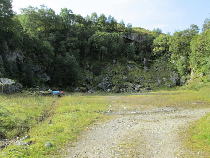
After about another twenty minutes walk a quarry is reached which, I presume, was the source of construction materials for the HEP works.

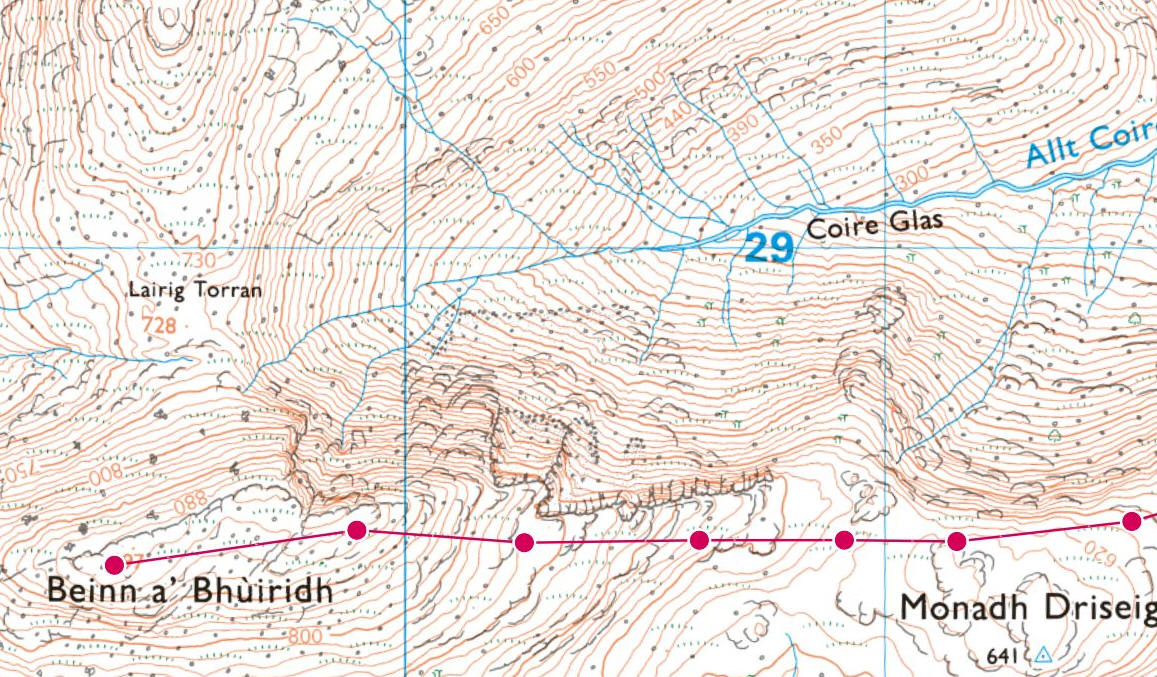
The map is taken from my OS Maps app and shows the route I took up the hill. Beinn a' Bhuiridh isn't quite a Munro, being 897m (2942 feet) high. However, the complete lack of tracks on the hill makes it in many ways more challenging than the neighbouring Munros. The actual ascent from the station to the summit, counting the various ups and downs of the route is just over 3000 feet.
I carried on just beyond the quarry before....
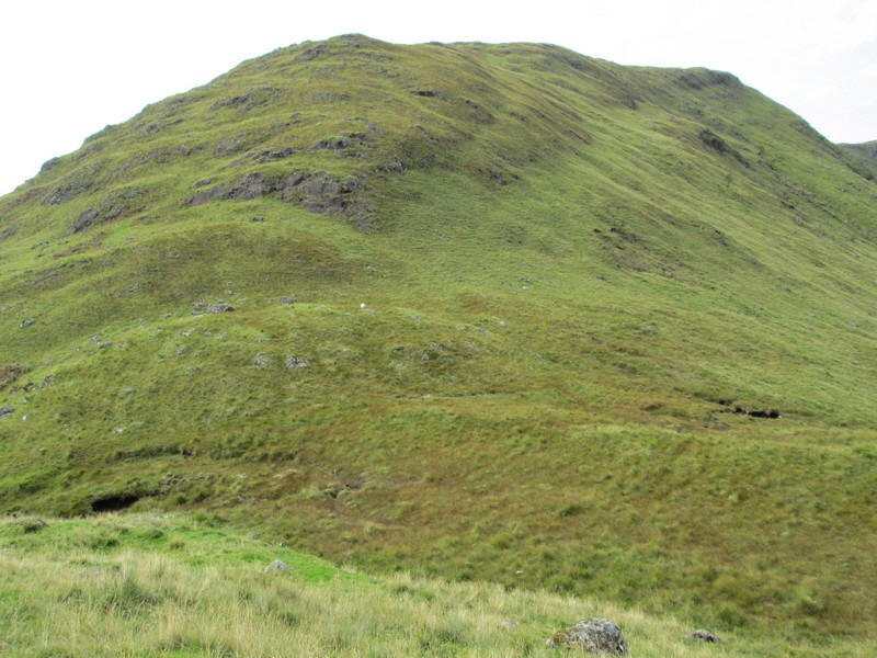
....striking off up the very steep hillside.
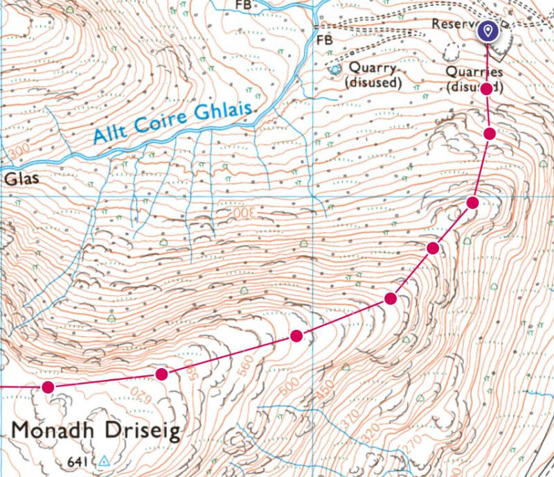
The map shows that, from the start at the quarry, the climb is at about 1 in 3 until about the 500m point where the gradient eases slightly. This was one of those walks when I knew that descending would take much the same time as the ascent.
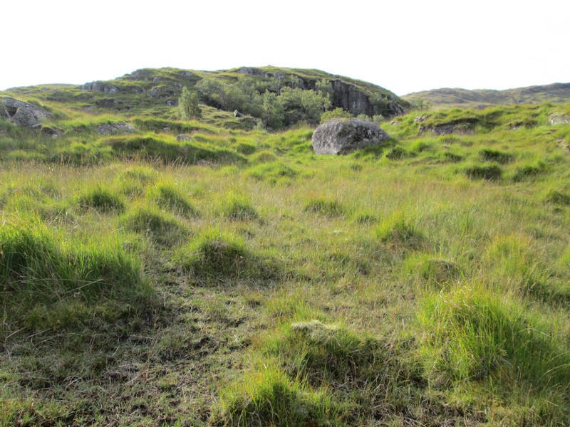
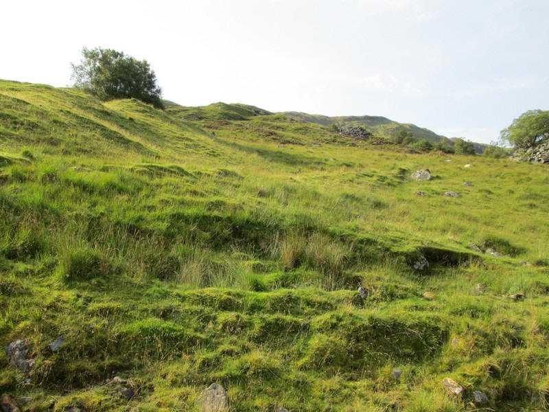
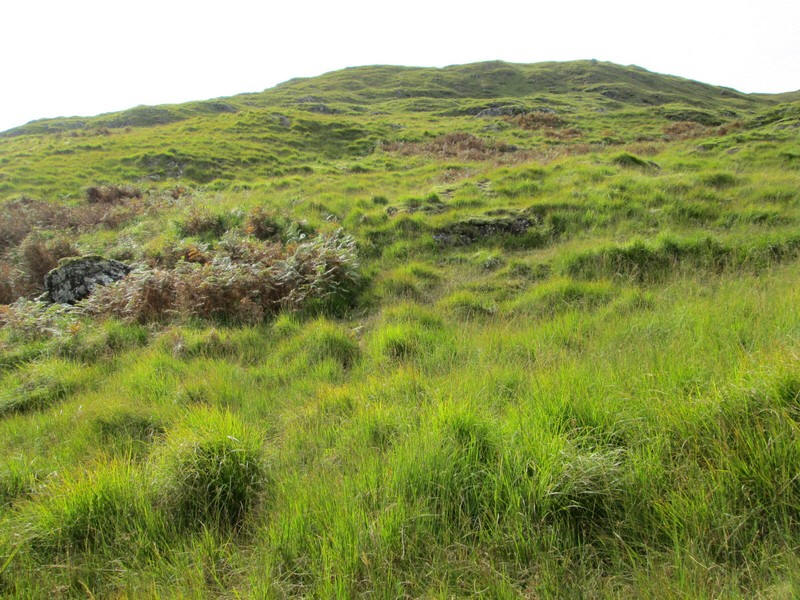
The climb means threading your way through tussocky grass and avoiding rocky outcrops.
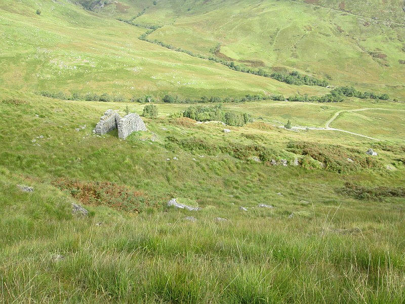
Looking back downhill I saw the remnants of a structure which I marked in my GPS to use as an aiming point on the way downhill.
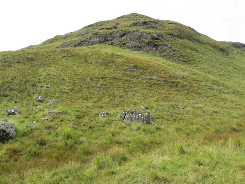
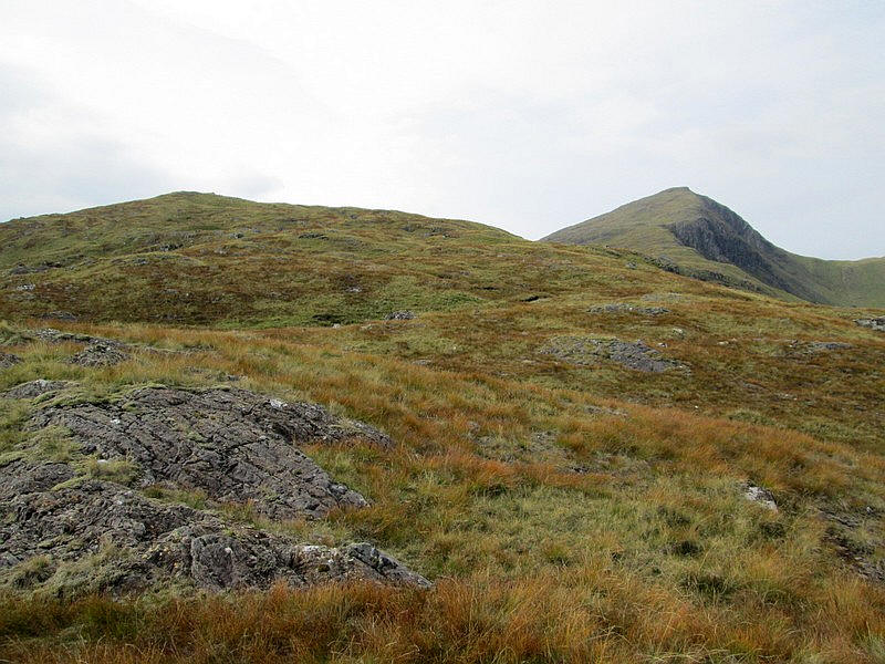
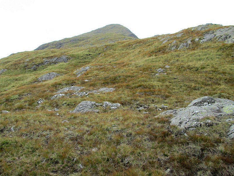
Eventually the gradient eases slightly....
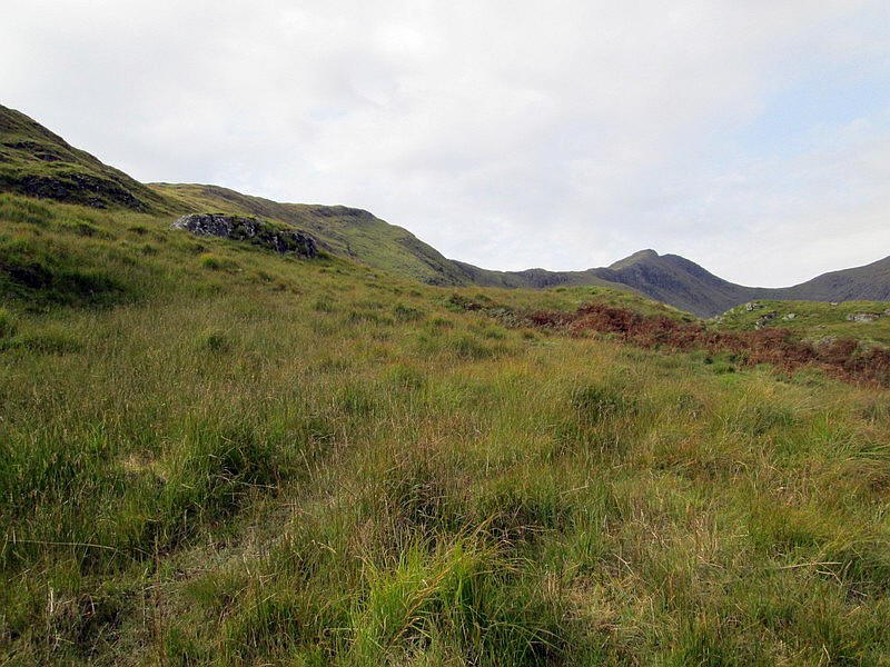
...and I got the first sight of the summit in the distance and also the initial summit of Monadh Driseig (641m) on the left of the image.
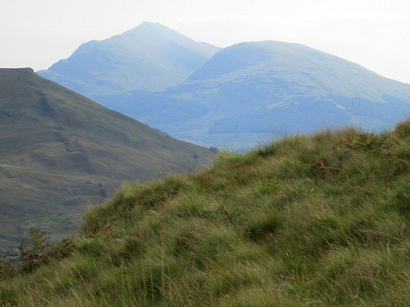
A zoomed image looking east to Ben Lui across Glen Lochy. It's about 9 miles away.
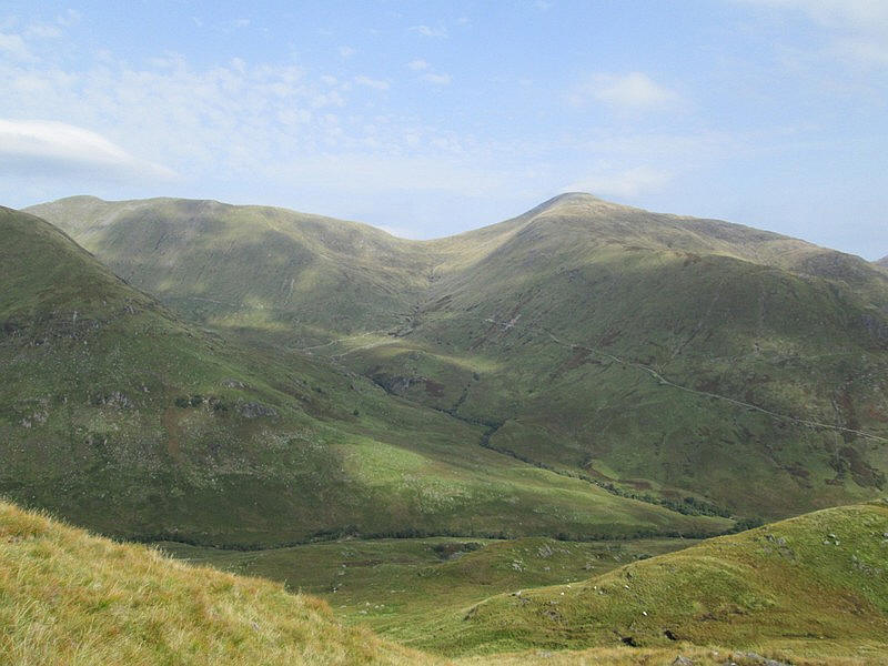
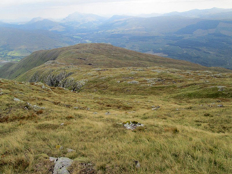
Much closer is this view looking down the way I've come up and across to Glen Strae
The gradient has eased slightly as I approach Monadh Driseig, but it's clear that I'm going to take longer than expected. Naismith's Rule doesn't seem to work quite as well on steep and pathless climbs where you are having to navigate as well as climb.
Looking south east to the head of Loch Awe near Dalmally.
There's now one of those annoying drops down before another steep climb....
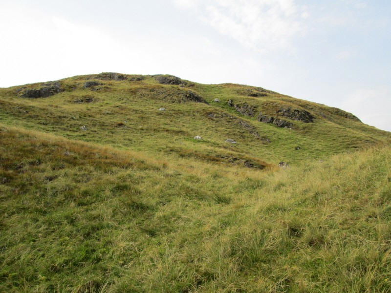
....and a little further up where the first summit disappears behind some crags.
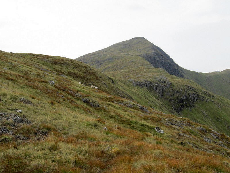
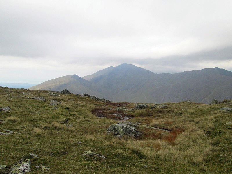
As can be seen weather conditions were good and I couldn't resist another photo of Beinn a Chochuill and over to the right Beinn Eunaich. Note how high the hydro road reaches up the slopes of the hills.
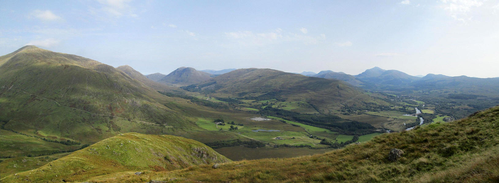
Another panorama looking back down hill with on the left Beinn Eunuch, in the centre Glen Strae and to the right the hills around Crianlarich and Ben Lui. Click on the image to enlarge it.
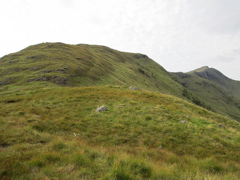
Rather than going up to the summit of Monadh Driseig I decided to skirt it's northern side.....
Passing the summit of Monadh Driseig which is over to the left and about 100 feet higher. It had taken me about 45 minutes longer to reach this point than expected.
As I had decided not to climb up to the trig point I'm cutting across the hillside and aiming for the beginning of the main ridge up to the summit of Beinn a' Bhuiridh.
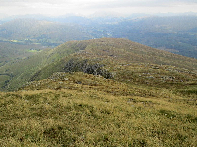
Looking across to the corrie below the summits of Stob Daimh and Stob Garbh.
It's obvious that there is a slight dip, probably about 100 feet, between Monadh Driseig and ridge up to the summit.
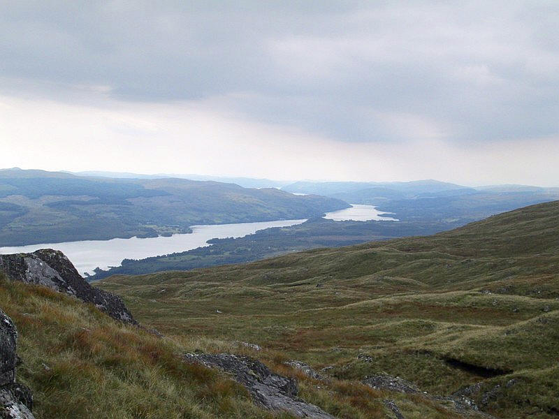
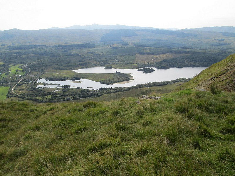
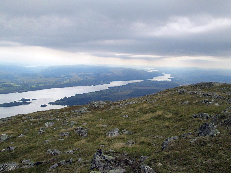
From this col there's a good view down Loch Awe - it's the third largest freshwater loch in Scotland with a length of 25 miles.
There's another 270 metres (about 880 feet) to climb from the col and, despite some earlier doubts, I'm pretty certain I will reach the summit.
Here I've started the final climb .....
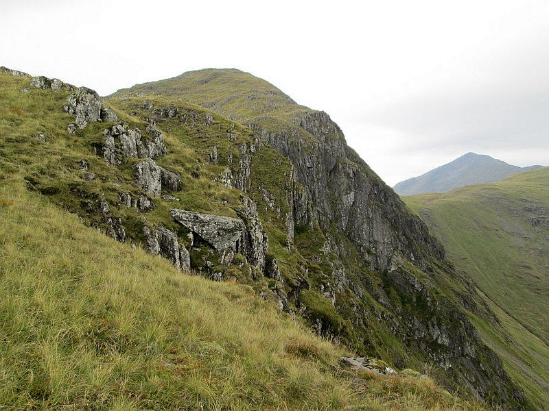
......and start to see the impressive cliffs on the north side of the hill.
Looking back downhill.
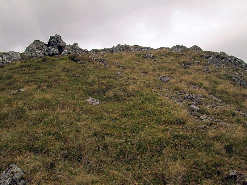
There is a pile of stones as the ground flattens out but this isn't the summit which is a little further on....
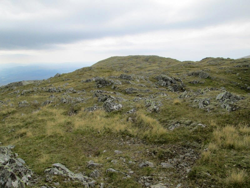
...across the summit dome.
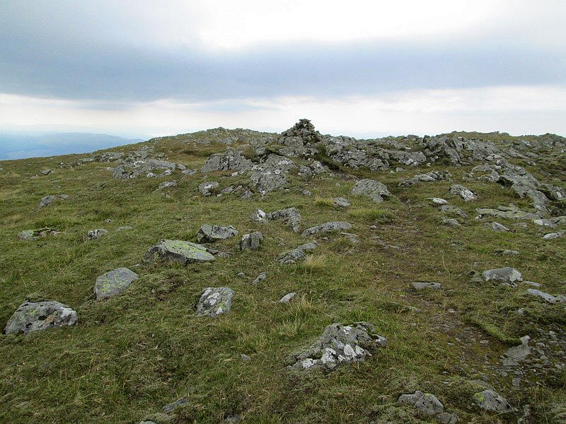
The summit cairn was reached four and a half hours after leaving Loch Awe station significantly longer (1 hour) than I had expected.
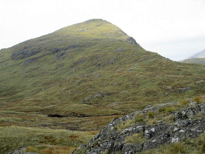
Beyond the summit is the 1126m (3,694 feet) high Ben Cruachan which is the highest hill in this part of Scotland.
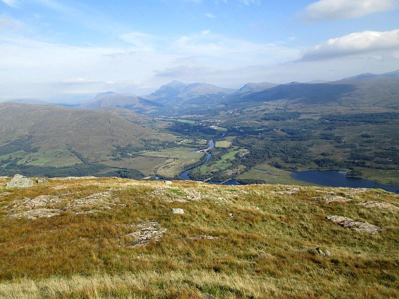
Another view looking down Loch Awe. Over to the left in the far distance is the sea loch, Loch Fyne. This can be seen down Glen Aray towards Inveraray.
After a brief rest and something to eat I set off on the long walk back down hill.
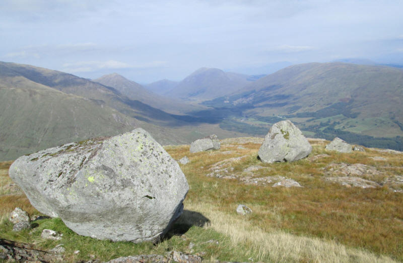
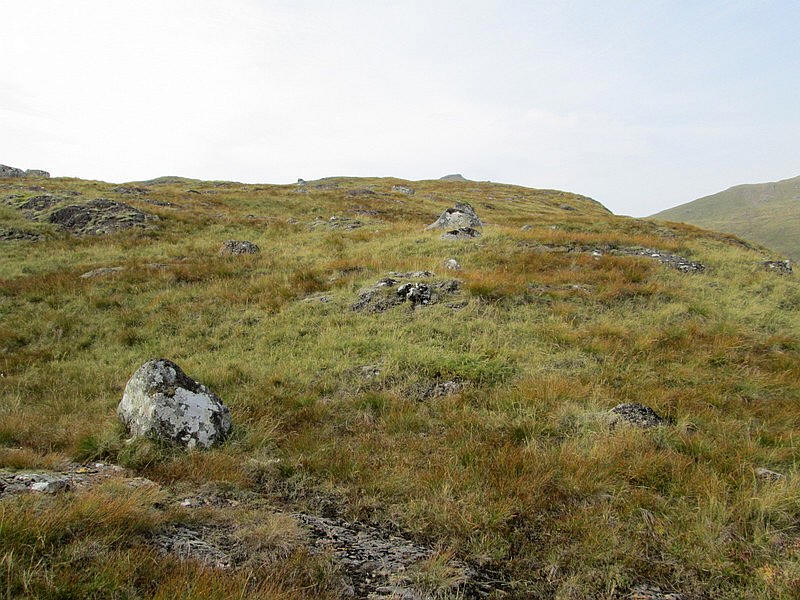
One fascinating geological feature of this hill is the large number of very large erratic boulders left behind by the melting ice at the end of the last glacial period.
The late afternoon sun lit up the view towards Dalmally.
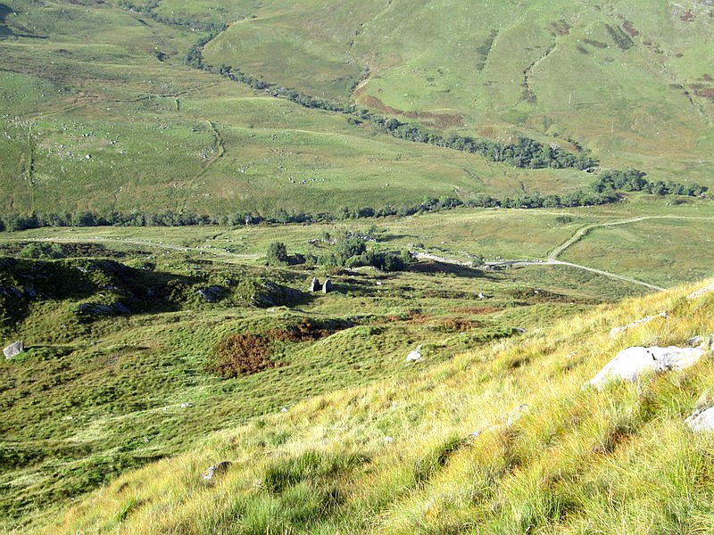
I took the descent really carefully and here I'm aiming for the ruins noted earlier with the hydro road a little further on. The descent to the road had taken only 20 minutes less than the ascent!
All that was left now was to return to Loch Awe, pay a visit to the local restaurant and drink several cups of tea to rehydrate myself after a hot day, and get the early evening train back to Oban.