A' Chailleach, Carn Sgulain and Carn Dearg
Image produced from the Ordnance Survey Get-a-map service. Image reproduced with kind permission of Ordnance Survey and Ordnance Survey of Northern Ireland.
An early start from Perth on the 08.04 to Inverness allowed me to reach Newtonmore by 09.26. The plan was to walk the three Munros above Newtonmore and then catch the 18.32 train on to Aviemore. My route card timings showed about eight and a half hours, so it was clearly going to be a bit tight. However, there was a fall-back transport option by bus at 20.25. The day didn't start auspiciously when the train arrived 20 minutes late after a fault developed on the service from Glasgow.
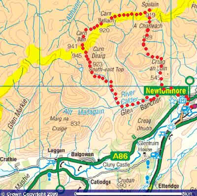
A pleasant and brisk walk through the village and along the lane into Glen Banchor took just under 40 minutes. Directly above the lane can be seen the final summit of the day, Carn Dearg.
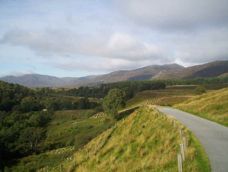
Beyond the lane end at the car park, the way to the first summit of A'Chailleach goes through this deer fence....
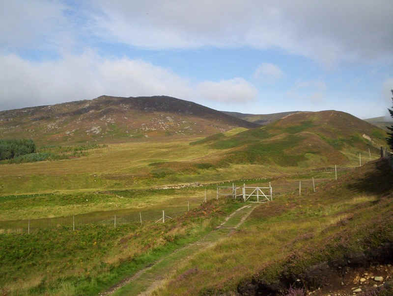
....and then along this broad track to a cairn at NH 69111 01257, where an inconspicuous track leads down to a bridge over the Allt a'Chaorainn.
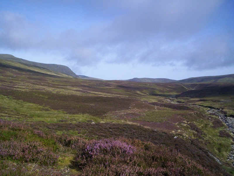
Once over the bridge the path follows the river across boggy terrain until it turns sharply south west. Leave this obvious path and head up a fainter track across heather and boggy ground.
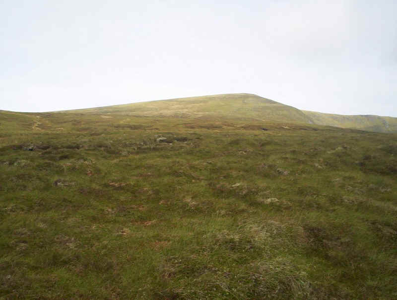
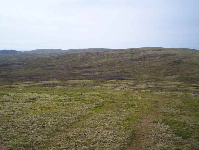
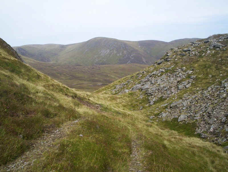
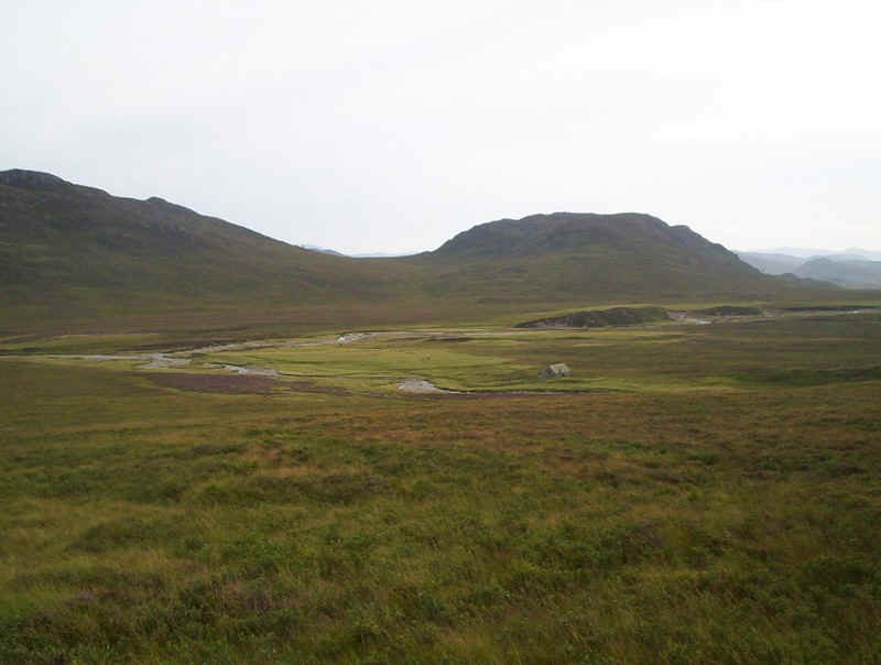
After crossing a fence turn north west up the hillside by the Allt Tom Dubh a'Ghobhlaich with the stalking hut (NH 68746 02236) as the first objective. It's visible on the hillside in this photo.
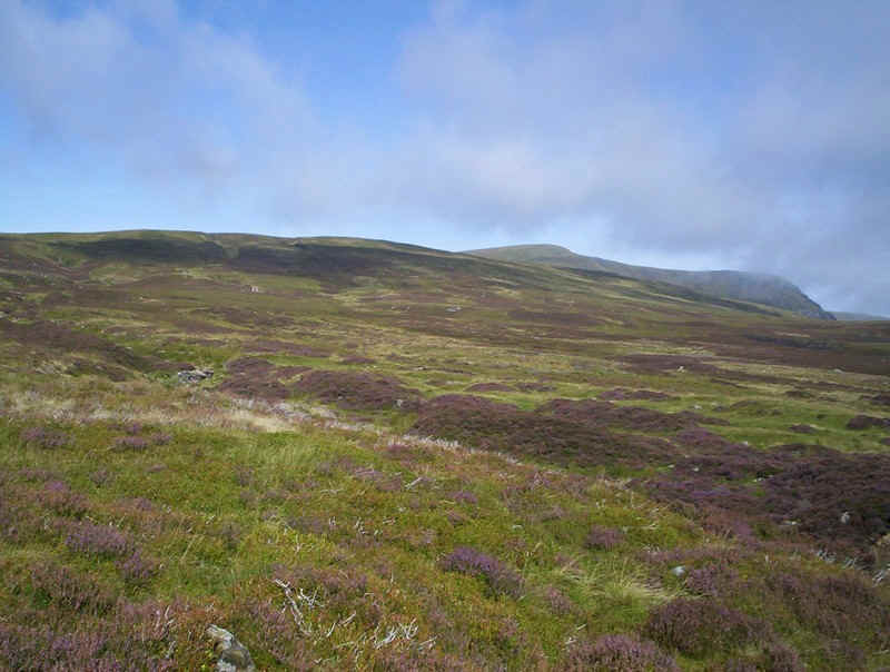
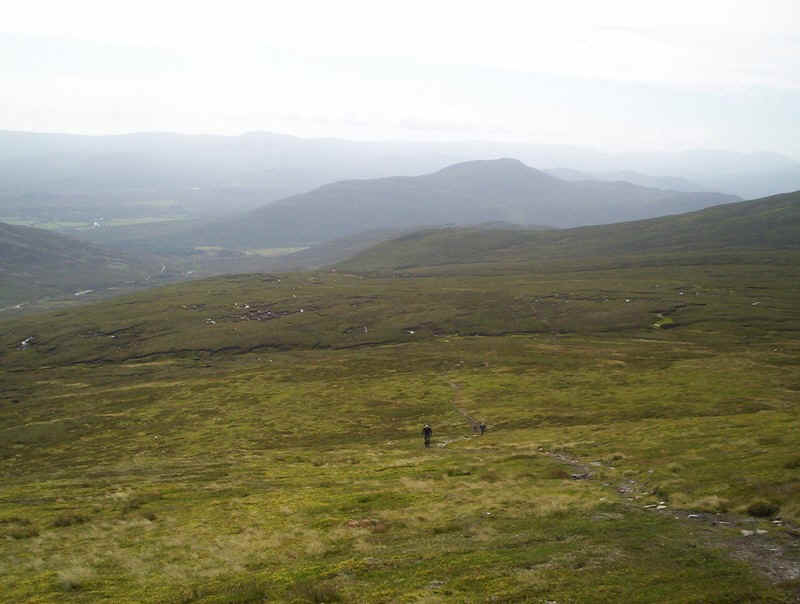
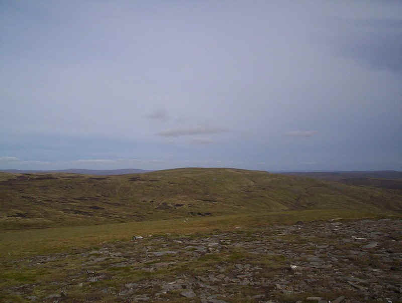
There's a clear, if boggy, path for much of the way. This is the view looking down towards Newtonmore.
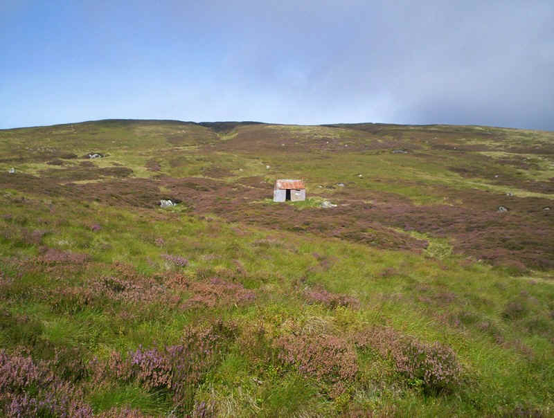
The stalkers' hut apparently contains a lot of walker's graffitti, but I decided to press on as there were other walkers behind me and I prefer walking in solitude if possible. I took a track off to the right of the hut before, after a few hundred yards, taking another path at a left turn up the hillside.
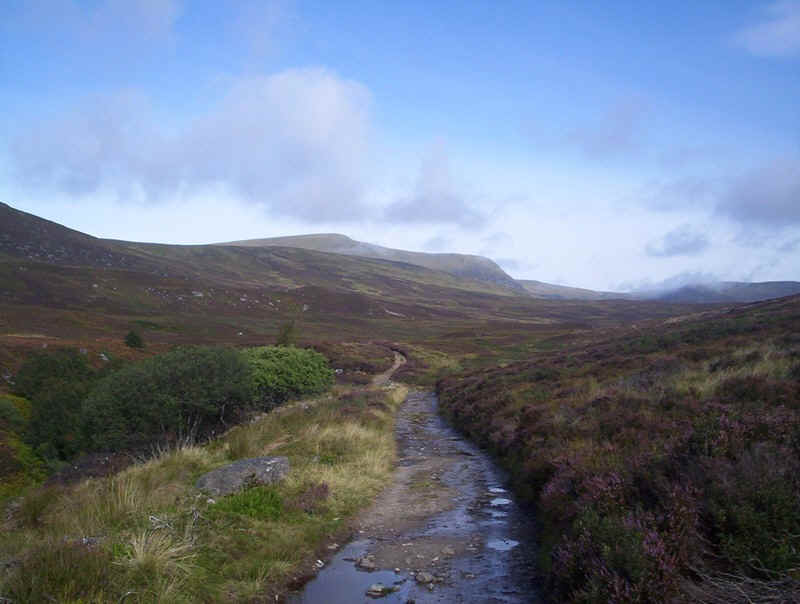
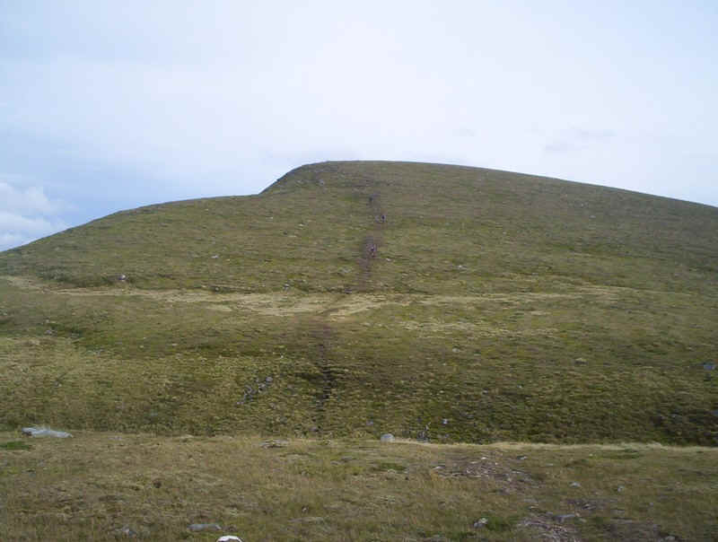
This path continues pretty clearly for much of the way up to the summit.
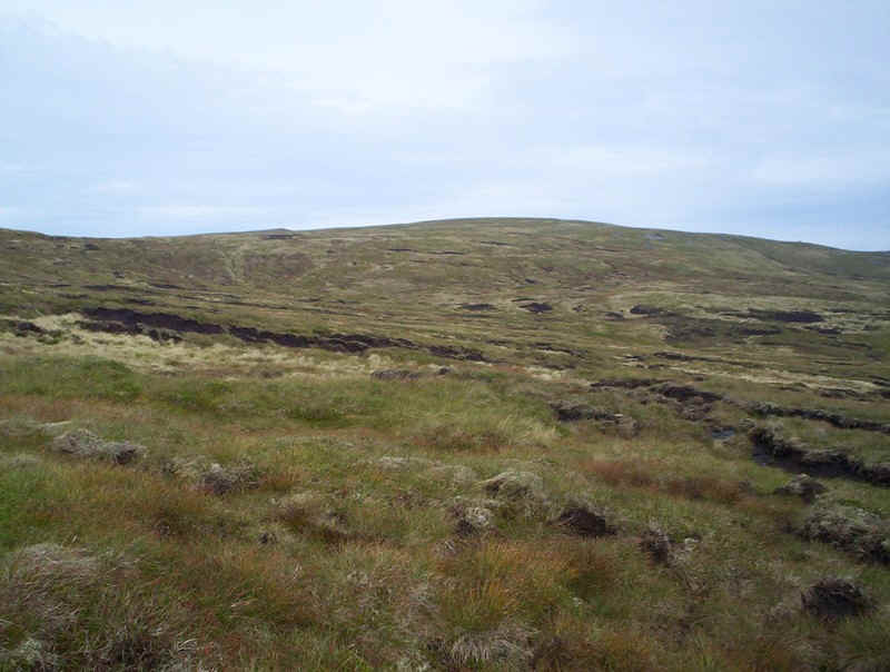
Looking back downhill with evidence of peat hags.
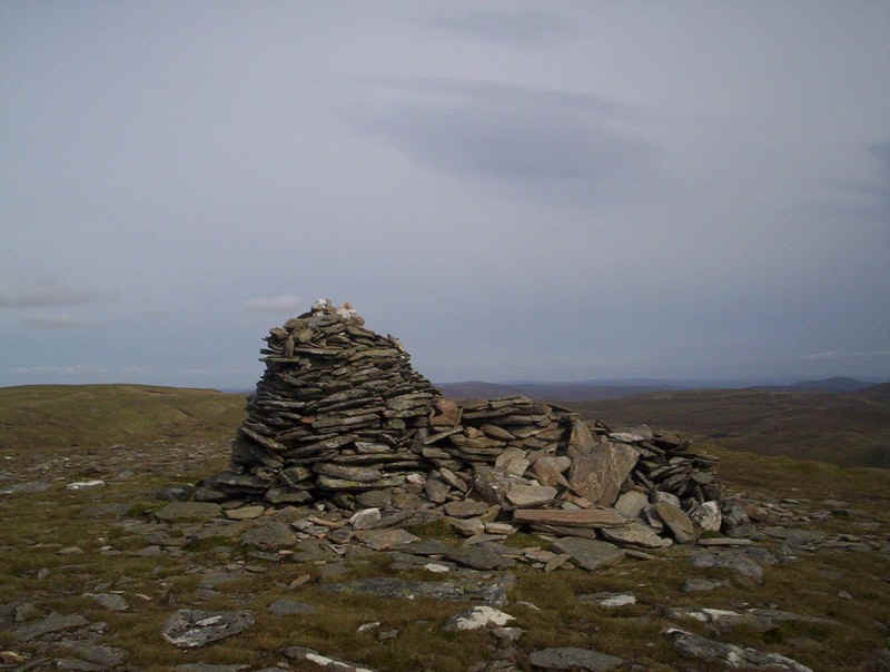
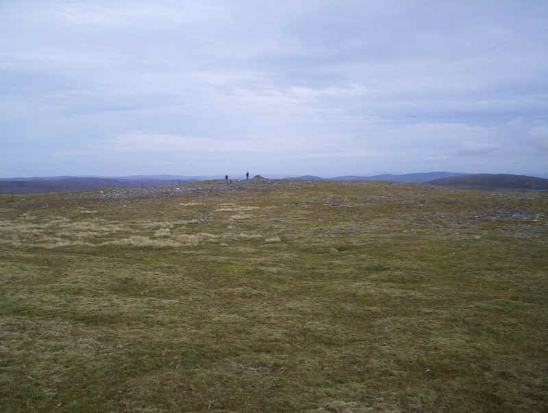
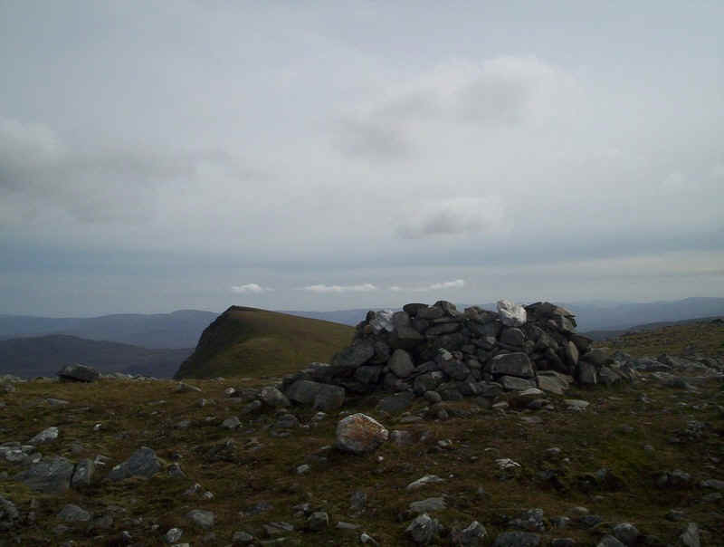
The large summit cairn of A'Chailleach at 930m is visible from miles around and was a good place for a quick snack and drink. It had taken me one hour and 45 minutes from the car park, pleasingly half an hour less than in the guide books.
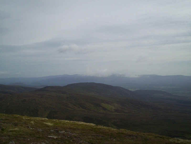
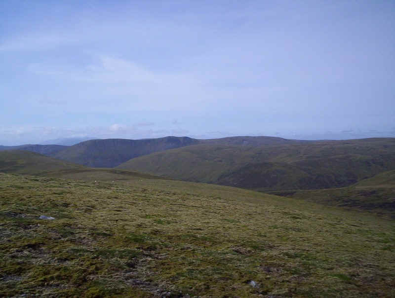
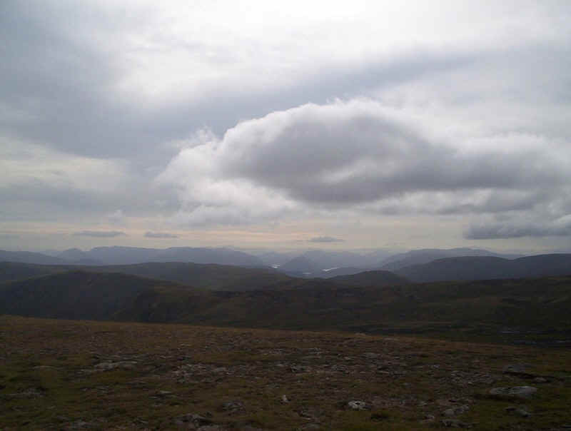
From the summit the Cairngorms were largely clear of cloud.
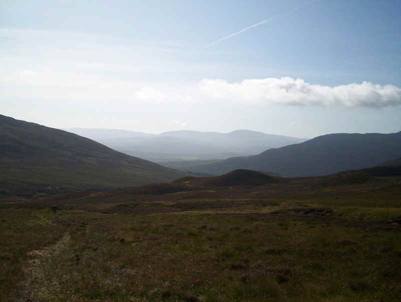
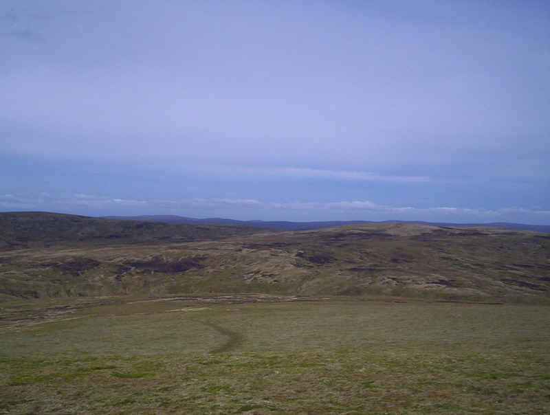
Beyond the summit the way forward is largely trackless across smooth grass.
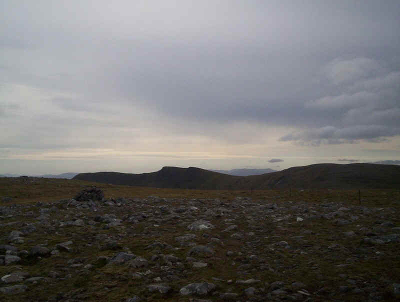
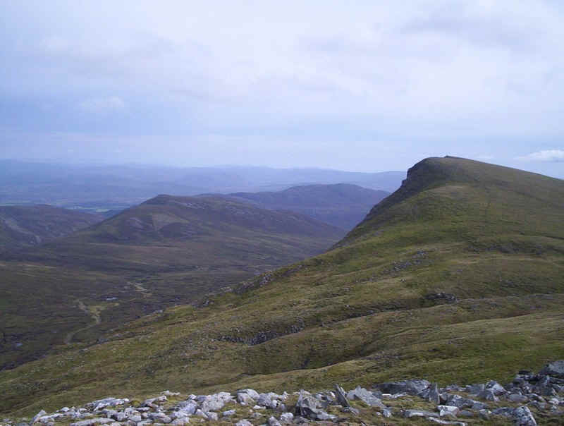
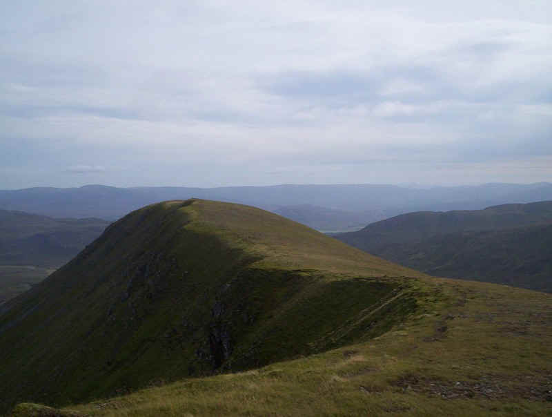
From the summit there's a clear view of the cliffs of Carn Dearg, the third summit of the day far over to the south west.
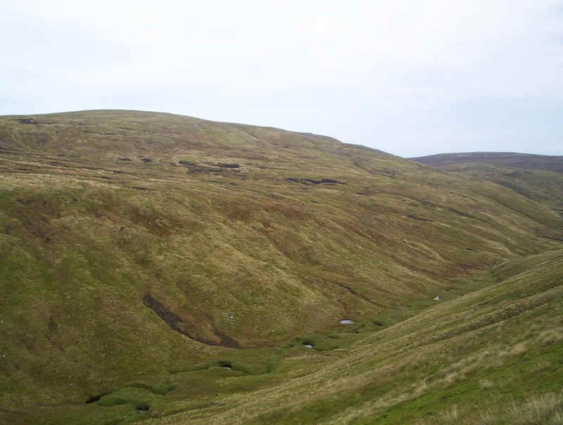
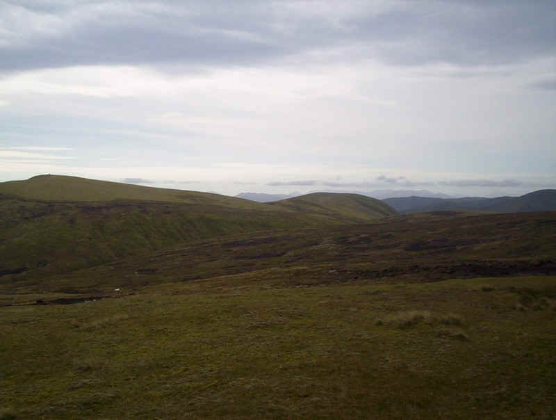
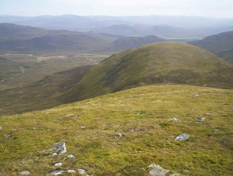
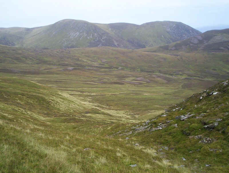
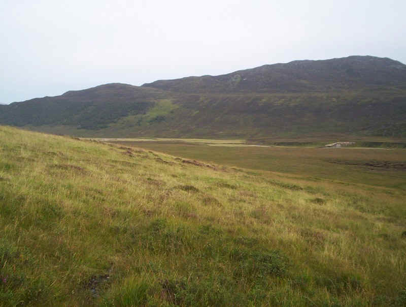
Dropping down to the small glen between A'Chailleach and the second Munro of the day Carn Sgulain, seen on the right.
There's quite a drop down to the Allt Cuil na Caillich, enlivened by the sight of what I think may have been an eagle perching on a boulder by the stream and then flying off. I was enjoying seeing such a large bird too much to take a photo.
The approach to the summit of Carn Sgulain is across very boggy ground and peat hags. One of the other walkers managed to end up in the bog as far as his thighs, so caution is clearly needed here.
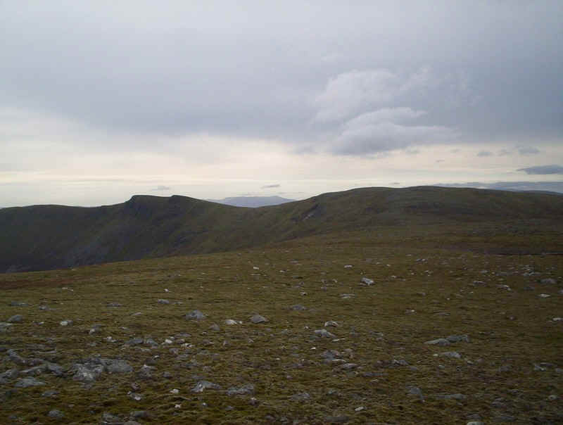
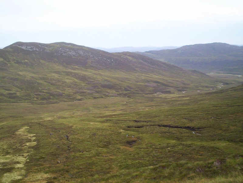
Looking back towards A'Chailleach.
The summit of Carn Sgulain is approached across grass and then stones to reach the cairn at 920m. So far the walk had taken 2 hours 45 minutes from the car park, just a little less than expected.
Given the amount of rain that had fallen over the previous few weeks I was somewhat concerned about what conditions underfoot would be like on the long trek across the moors from Carn Sgulain to Carn Dearg. First impressions were not hopeful as this quagmire had to be crossed. Surprisingly, it wasn't quite as bad as it appeared and in the really bad parts there were some stones. In fact there were surprisingly few difficulties in the 7km across the ridge following the line of fence posts.
The next few photos give a taste of what these 7km are like. I suspect on a wet foggy day it could be a pretty soul-destroying route march but, on a pleasant September afternoon, it was delightful.
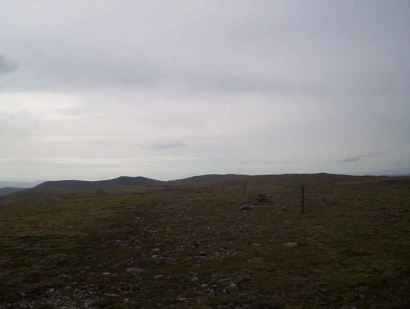
The fence posts march on....
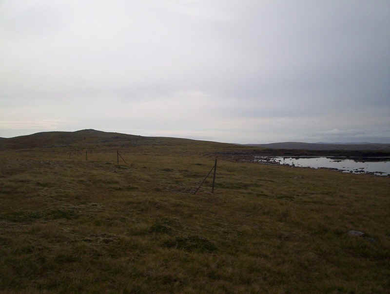
..... past a small lochan on the approach to Carn Ballach.....
...and uphill to Carn Ballach.
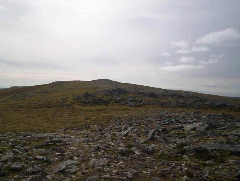
Rockier ground appears near the summit of Carn Ballach but those fence posts are still there.
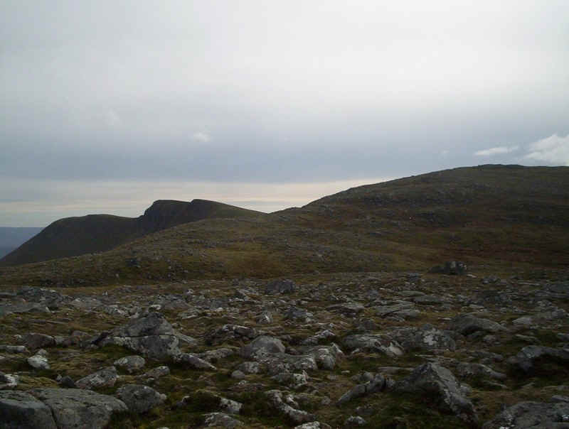
Ahead now is the rise to Carn Ban with the cliffs of Carn Dearg on the left.
A little bit of hill climbing is needed to reach .....
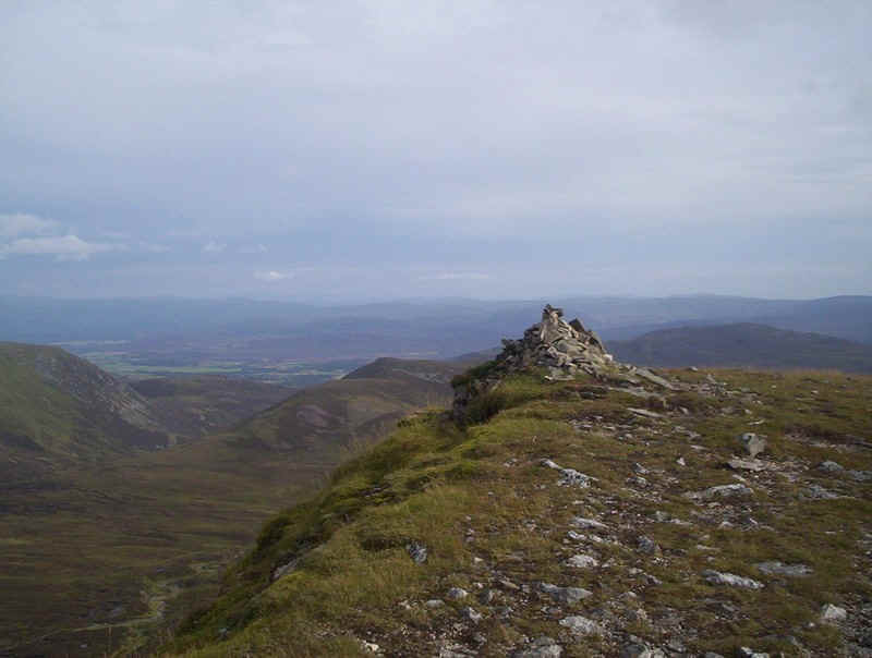
...... Carn Ban's cairn at 942m.
Then it's down to the col between Carn Ban and Carn Dearg.
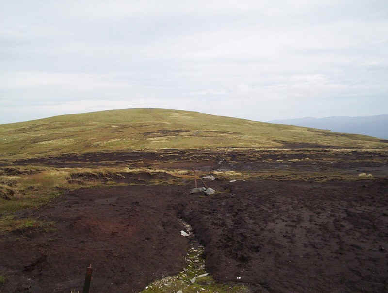
The last climb of the day to be tackled is up the track to Carn Dearg
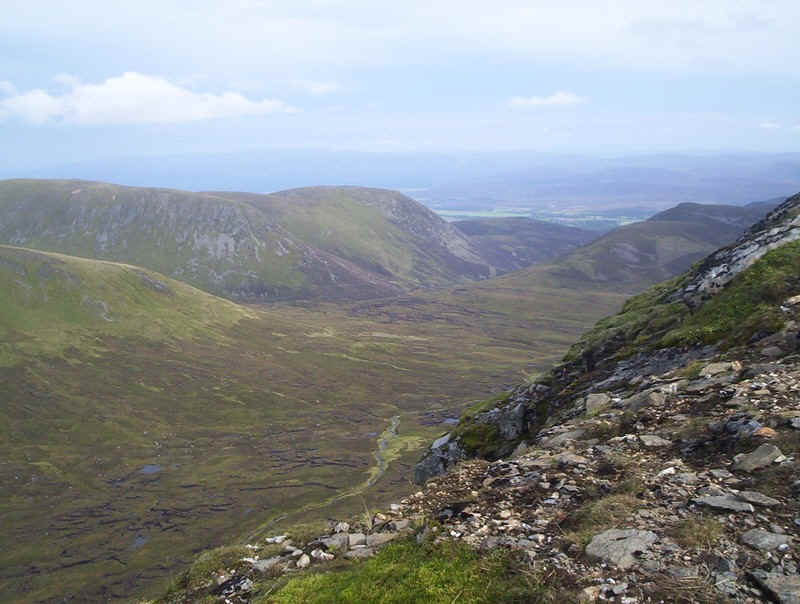
One of the ways off Carn Dearg is to drop down to the river and then cross over the dip into the next valley. I took one look at the peat hags and streams in Gleann Ballach and decided that the recommended route down from the col wasn't one I fancied much.
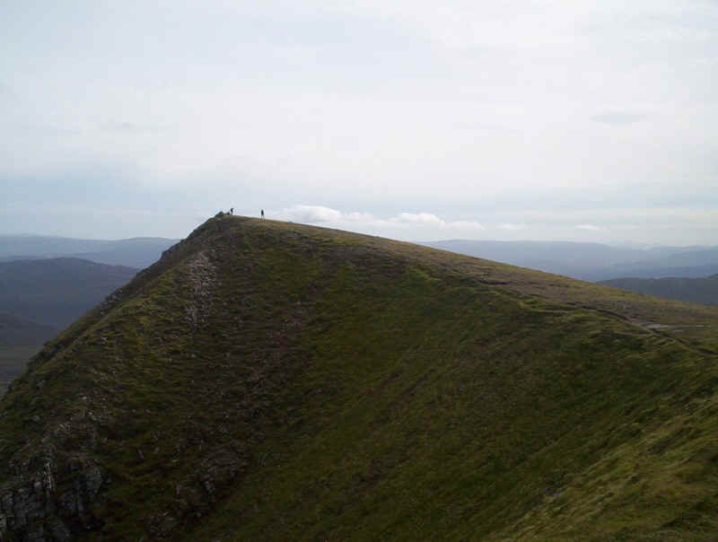
The walkers (who I'd met earlier in the day) and myself had been leap-frogging each other all day. They beat me to the summit of Carn Dearg and here they are admiring the view.
Looking west with (I think) Loch Ericht on the left and Loch Laggan to the right....
....and the summit cairn of Carn Dearg at 945m. It had taken me precisely 5 hours from the car park to reach this spot so I was running over half an hour early on my estimated timings. I felt I was in with a chance of arriving back in time for the earlier train.
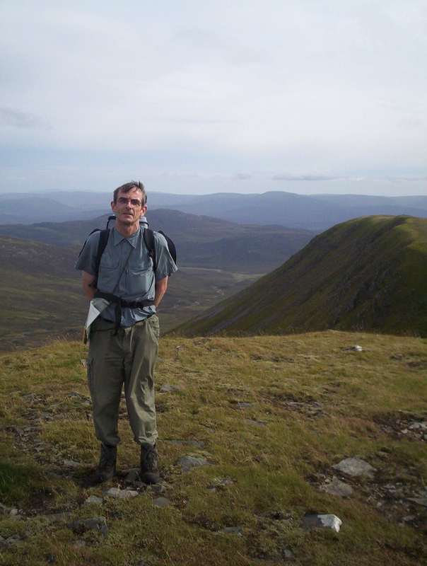
It seems something of a Scottish tradition to have strangers demanding to take photos of you (and of course themselves) on summits so here's me again.
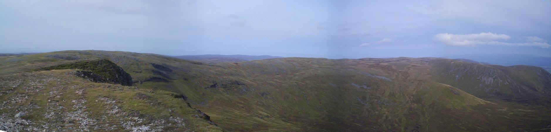
A panorama of the day's walk from Carn Dearg with Carn Sgaulain and A'Chailleach over to the right.
Having decided not to descend via Gleann Ballach it was off down the ridge towards Carn Macoul. This is the south top of Carn Dearg....
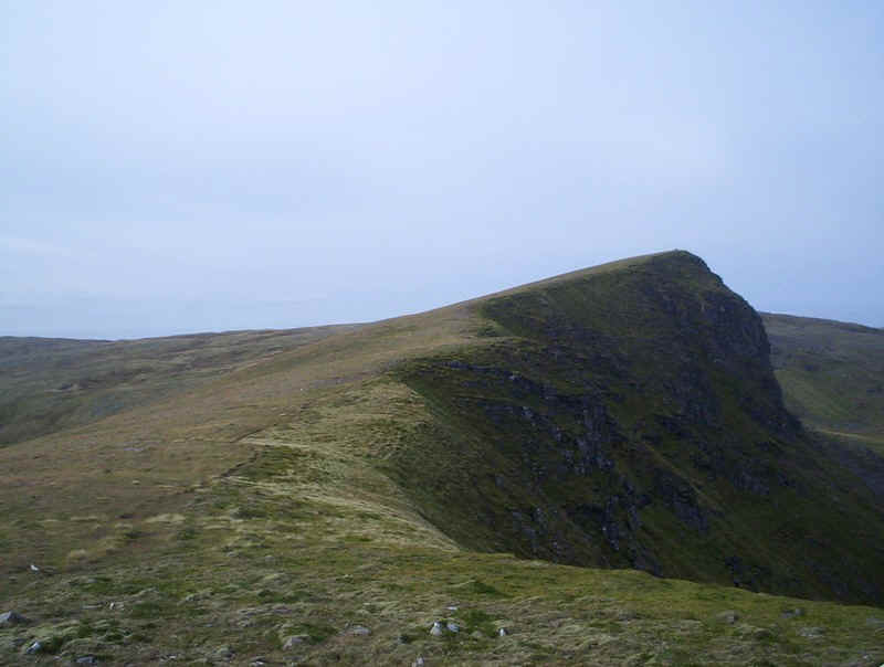
.....and looking back at Carn Dearg's cliffs.
The way off the ridge is down by the side of the burn that can be seen in the dip in front of Carn Macoul
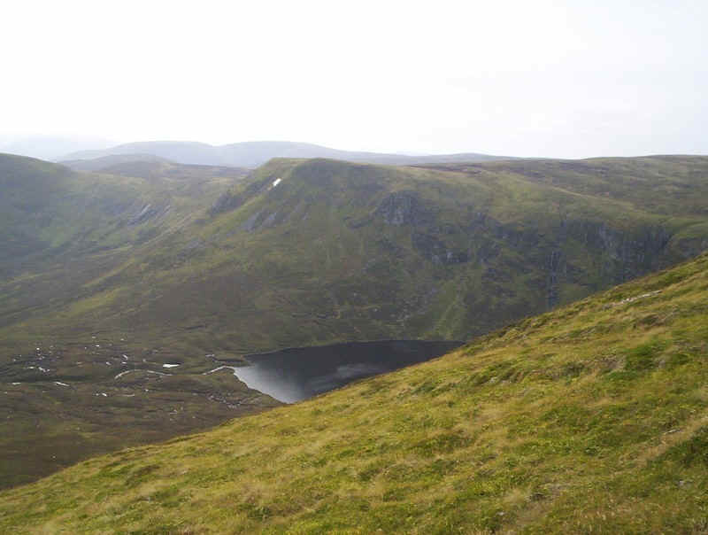
It would be easy to miss this magnificent corry if you didn't look off to the right. Loch Dubh lies in Coire nan Laogh.
There's a track by the burn down this curious gully.....
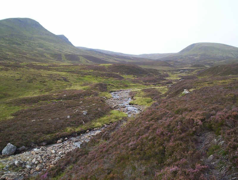
....... which leads into the lower part of Gleann Ballach. In places it's a bit marshy but nothing like higher up the glen.
In places there's an intermittent track. I was heading for a track that appears on the 1:25000 maps on the far side of the Allt Ballach at around NH653 003. Crossing the Allt Ballach was surprisingly easy, although in really wet conditions it might be tricky.
Having crossed it was a case of following the intermittent track as it meandered along the river.
As Glen Banchor was reached I left the river and crossed over the hillside with the old cottage at Dalballoch in view on the right.
This section was probably the wettest stretch of the entire day's walk and several times I almost stepped into deep boggy ground. By now i was pretty confident I'd make the earlier train and once on the track by the River Calder I stepped up the pace arriving back at the car park at a quarter to six. I reckoned I would have about ten minutes to spare by the time I reached Newtonmore station. The walk from the car park back to it had taken 7 hours twenty minutes, including several breaks.
Then a car with two walkers who'd been at the car park to look at their next day's walk pulled up and offered me a lift into Newtonmore. Should you read this thanks very much again.
It was another great day in the hills, but definitely one for a good day as that 7km walk across the moors would be dreary indeed in bad weather.