Beinn Bhreac (Loch Lomond)
For my fourth visit to Scotland in 2025 I planned to climb the Corbett Beinn an Lochain near Rest and be Thankful and the two Grahams in Glen Douglas, Beinn Bhreac and Tullich Hill.
However, things didn't work out as planned!
When I tried to book the bus tickets to Rest and be Thankful I discovered that Citylink are not stopping there because of road works on the A83.
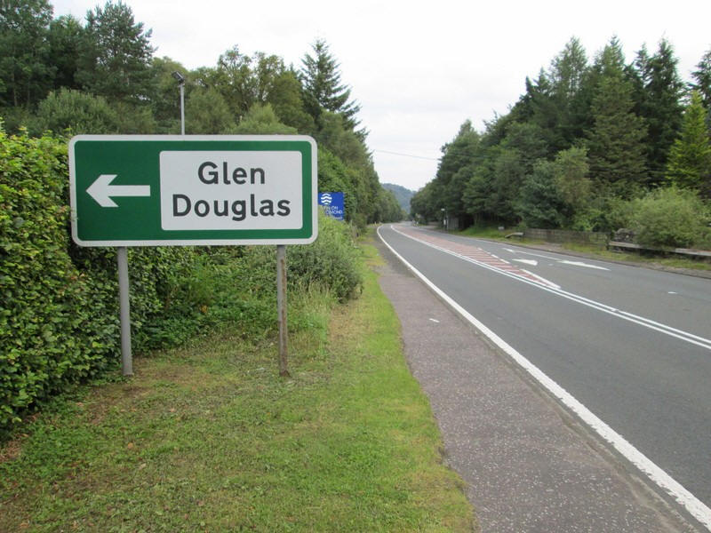
I therefore decided to attempt the Glen Douglas Grahams. So it was off from Glasgow on the 06:40 Uig bus as far as Inverbeg. My plan was to climb Beinn Bhreac and then possibly Tullich Hill, although I had doubts that I would want to climb a second hill given the weather forecast of temperatures in the upper 20s.
The map shows by route as recorded by my Spot tracker. For some reason I wasn't tracked until I started climbing the open hill - Spot doesn't seem to work very well in enclosed valleys so I have filled the gaps in with blue waymark signs.
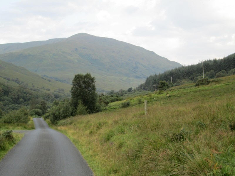
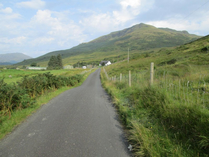
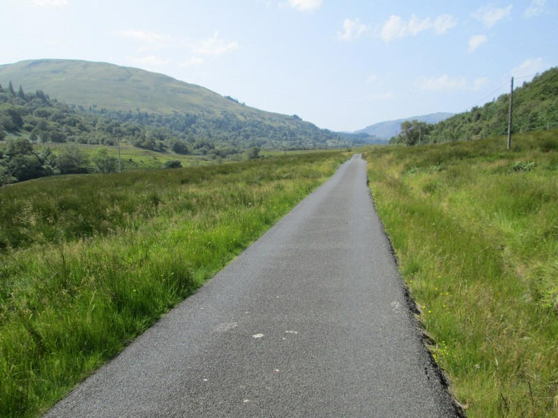
After an excellent and very strong cup of coffee at the hotel at Inverbeg I set off along the single track road up Glen Douglas.
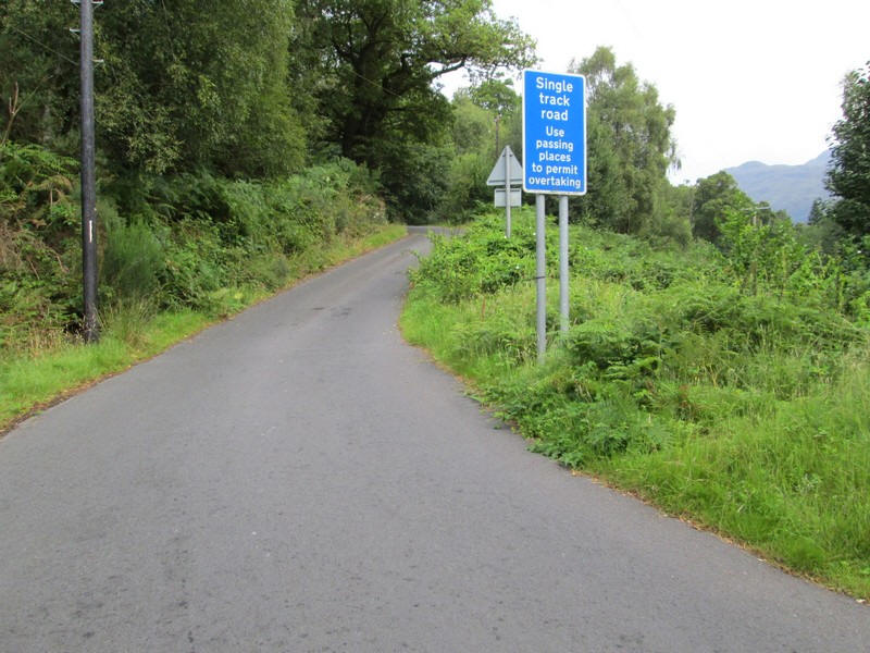
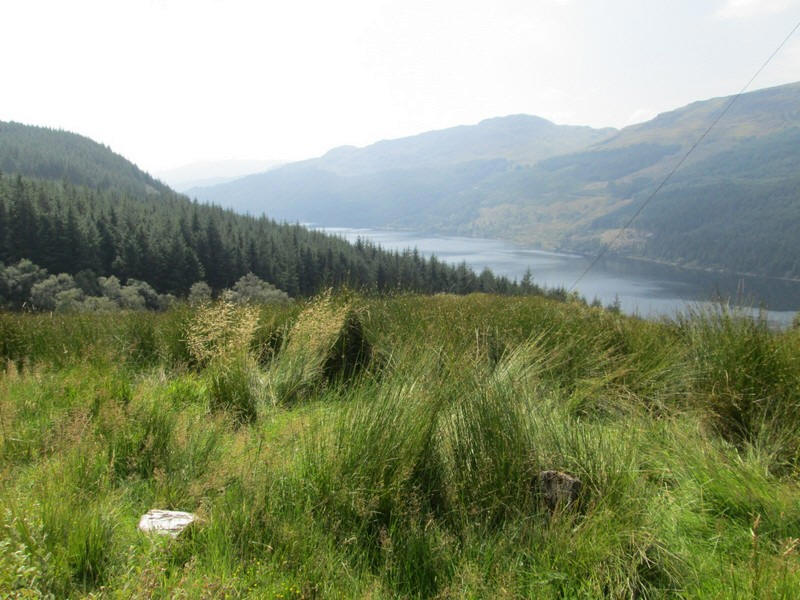
It climbs away from Loch Lomond....
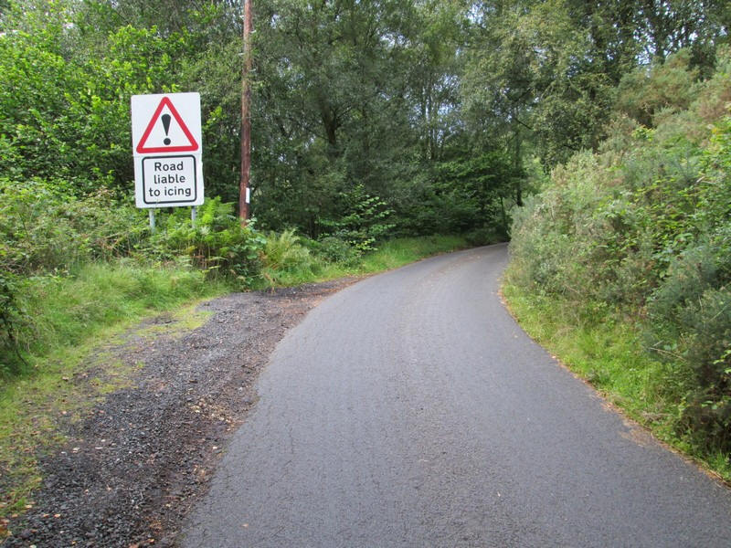
.....but clearly I won't have to worry about icing today.
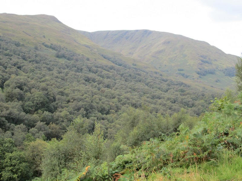
Over to the south of Glen Douglas is Beinn Dubh (on the left) and the slightly higher 657m summit of the Graham Mid Hill (on the right). Mid Hill has two corries, this one being the north east facing Coire na h-Eanachan.
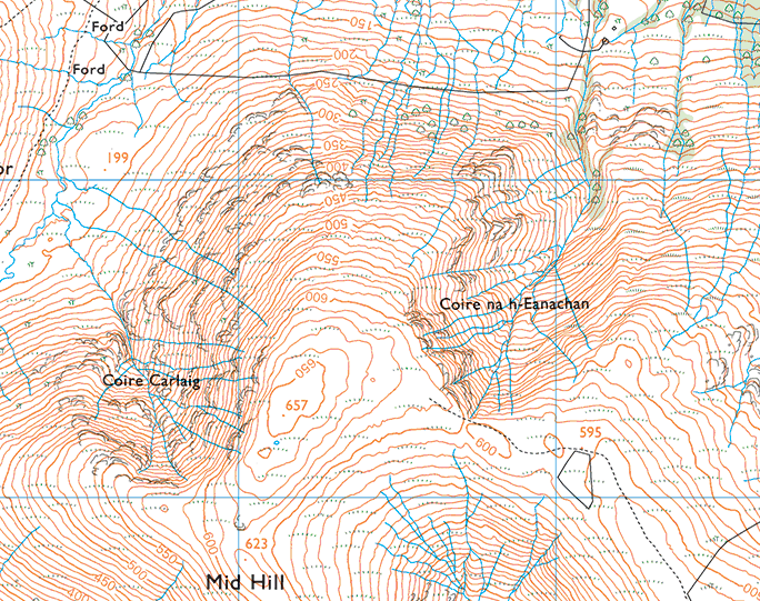
An extract from my OS map subscription shows the two corries on Mid Hill. They are quite dramatic for such a modestly sized hill.
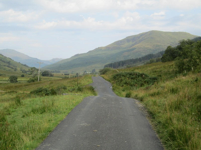
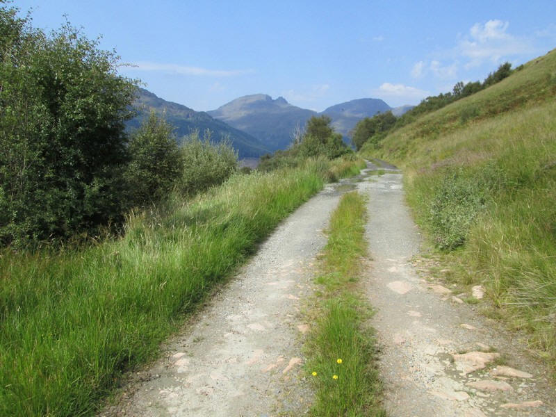
Directly ahead is the 734m high Doune Hill, the highest of the Grahams in this area.
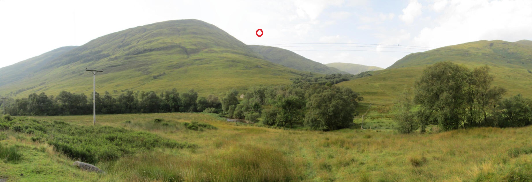
A little further on the second corrie of Mid Hill (Coire Carlaig) can just be seen on the north west side under the red circle.
On the right are the slopes of Doune Hill and just visible in the distance is the 703m high Beinn Eich.
Click on the image to see a larger view.
Heading west Tullich Hill (632m) comes into view. My original plan was to possibly climb this hill after Beinn Bhreac.
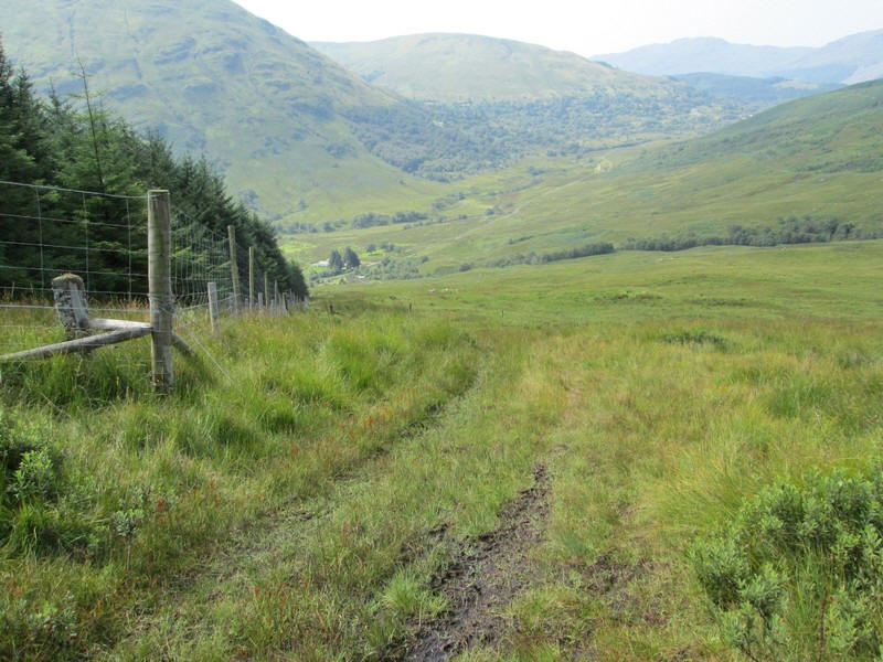
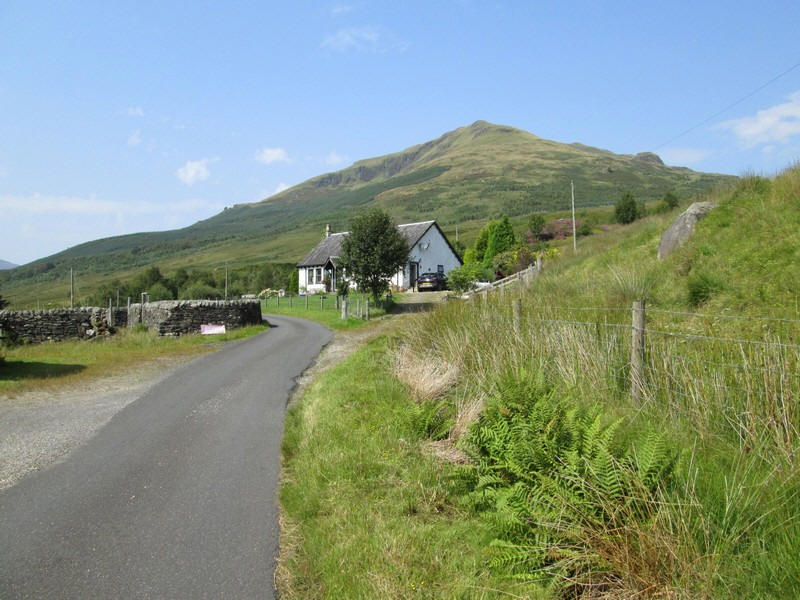
Approaching the hamlet at Invergroin.
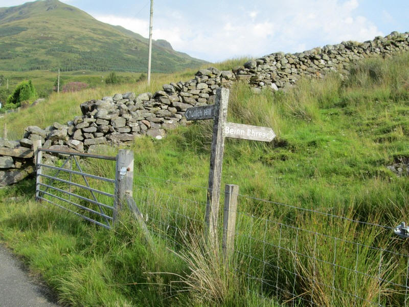
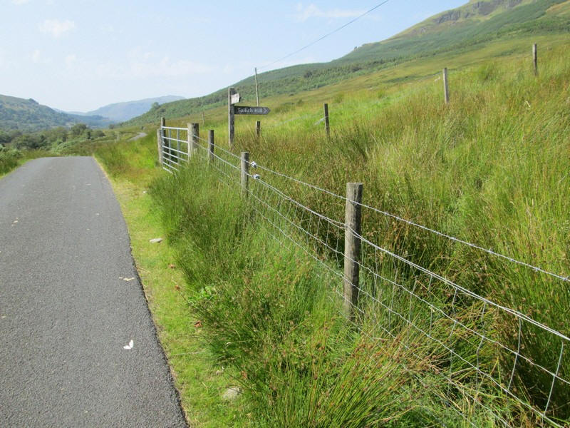
The unusual fingerpost just before Invergroin points to the two hills.
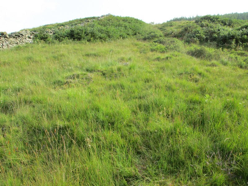
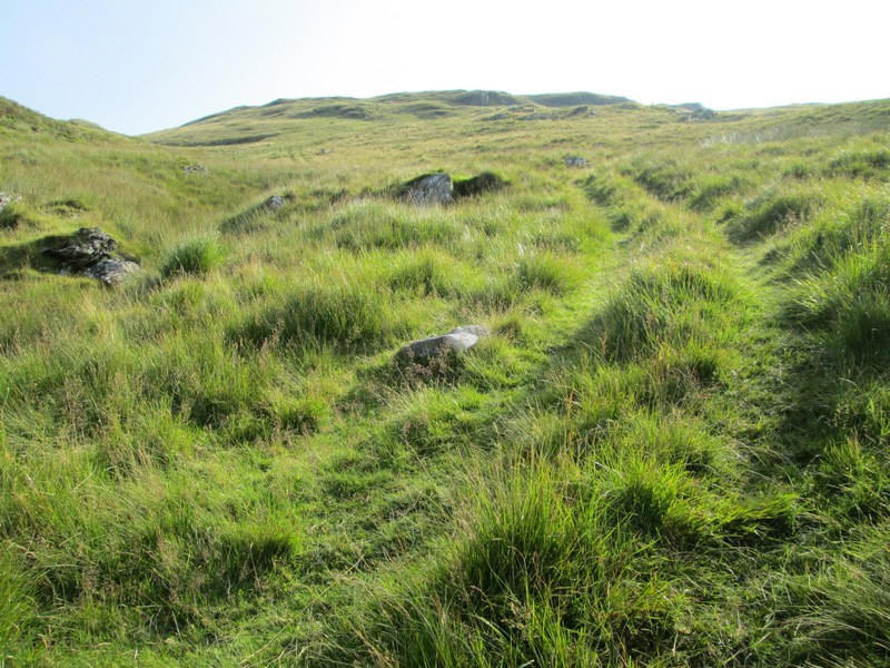
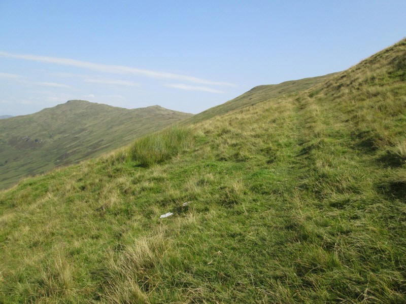
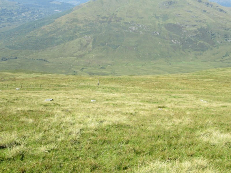
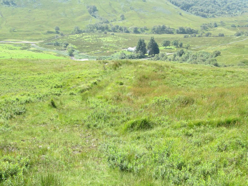
The start of the climb to Beinn Bhreac shows a vague path up through tussocky grass and bracken.....
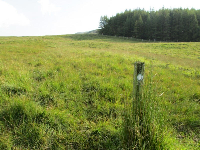
.....but there are several waymark posts along the faint track heading for the corner of the plantation.
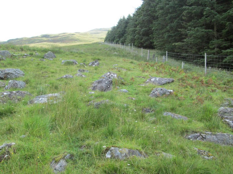
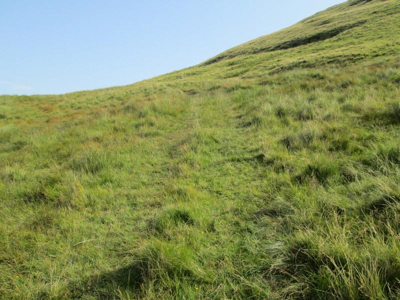
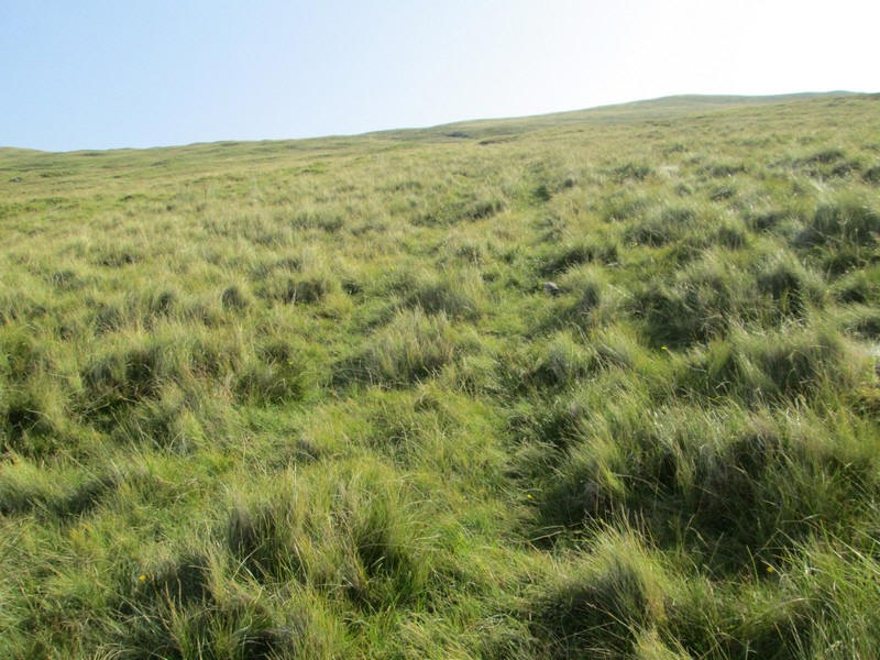
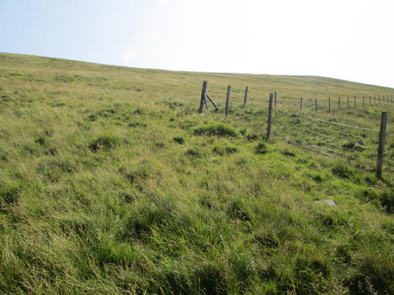
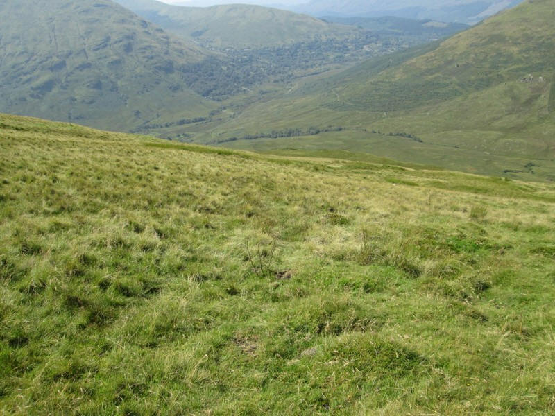
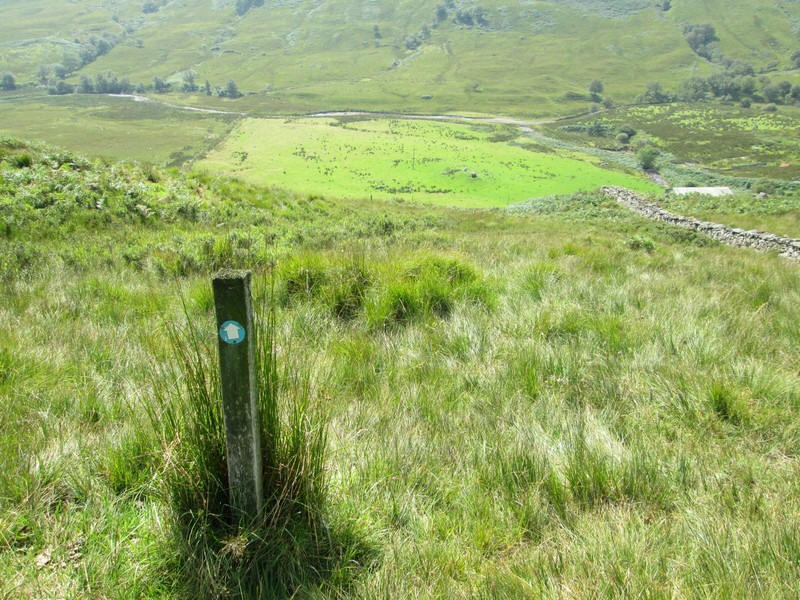
I couldn't find any clear track but followed the fence ...
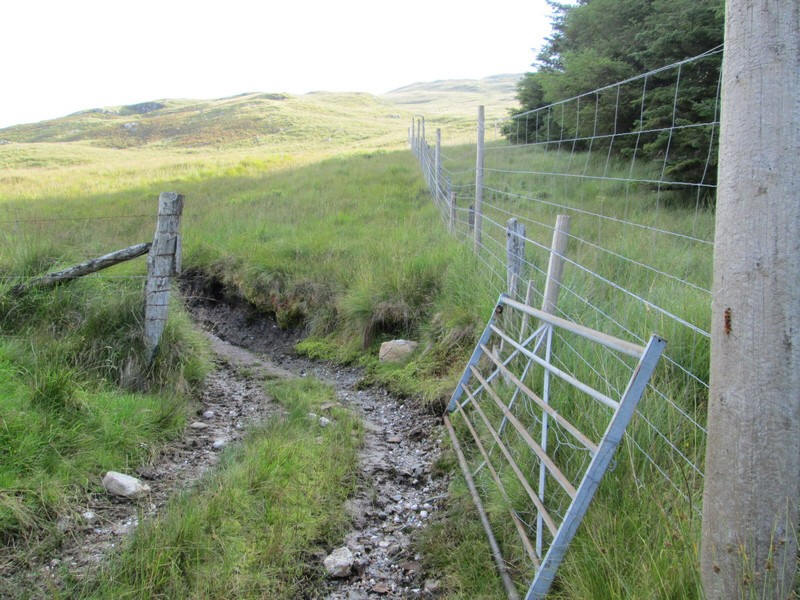
....uphill to a gate where an all-terrain vehicle (ATV) track came in from the left.
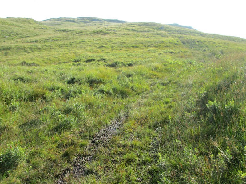
The ATV track varies from being "just about there" to being very obvious.
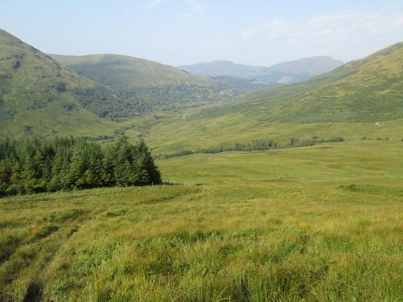
Looking back down to the trees and the upper part of Glen Douglas which I will walk along later in the day.
The ATV climbs steadily ..
...skirting round the north west side of the hill and avoiding the rocky outcrops shown on the OS 1:25000 map
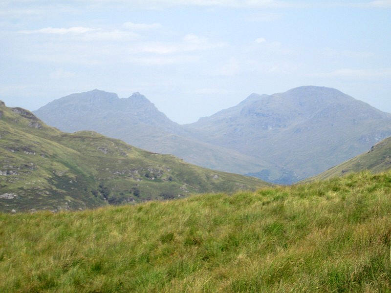
Over to then north west is the distinctive profile of The Cobbler (Ben Arthur) and Beinn Narnain.
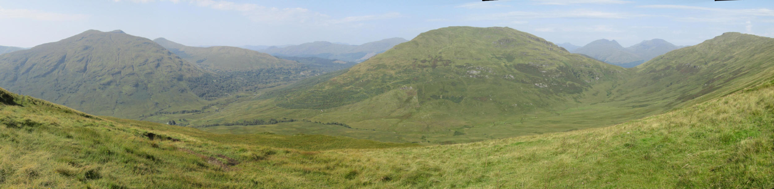
A panoramic view showing, from left to right, Doune Hill, Glen Douglas, Tullich Hill, The Cobbler, Beinn Narnain and Ben Reoch.
The ATV track swings around a corner of the hill.....
...and the gradient eases as the track heads.....
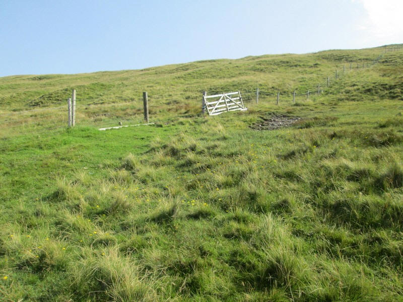
....for a gate in the fence that runs across the slopes of Beinn Bhreac.
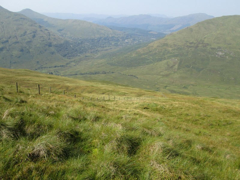
Looking back downhill showing the fence I've followed uphill to where....
...it turns sharply south east.
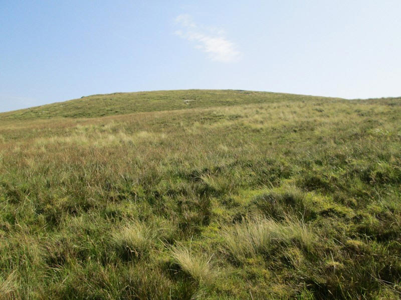
It's just a few hundred metres further uphill....
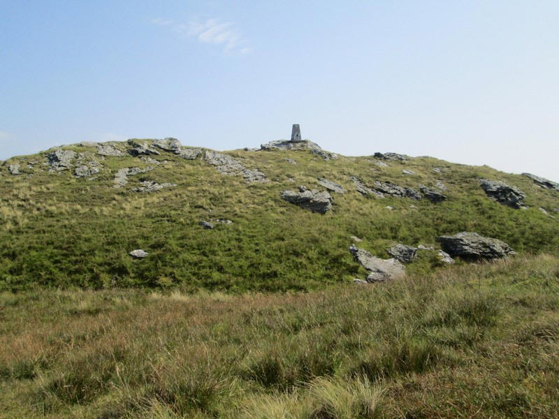
...and the summit trig point comes into view on a rocky outcrop.
I had expected to take about an hour and three quarters to climb the hill from Invergroin but with temperatures in the upper 20s my progress was a lot slower as I deliberately reduced my pace and kept stopping for drinks. In the end it took me two and a half hours. By now I had decided that climbing Tullich Hill as well was not a sensible idea!
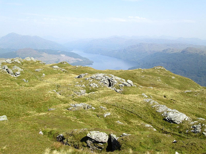
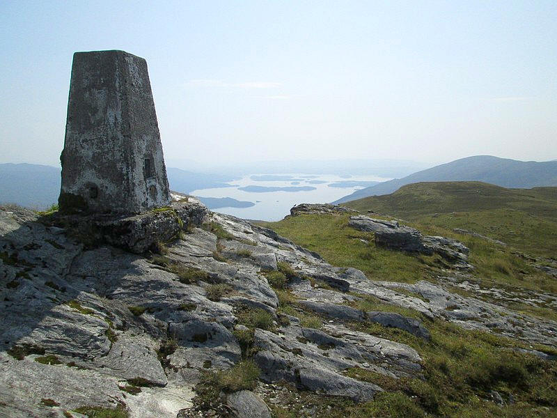
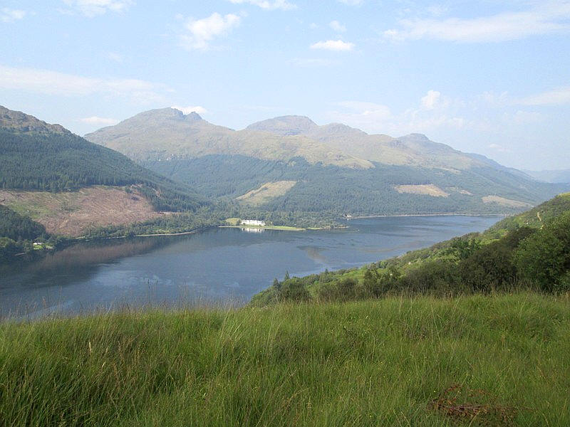
From the summit the views were excellent if a little hazy. This is looking north up Loch Lomond
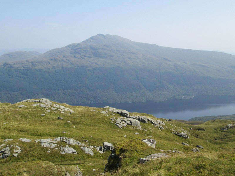
Across the loch is Ben Lomond...
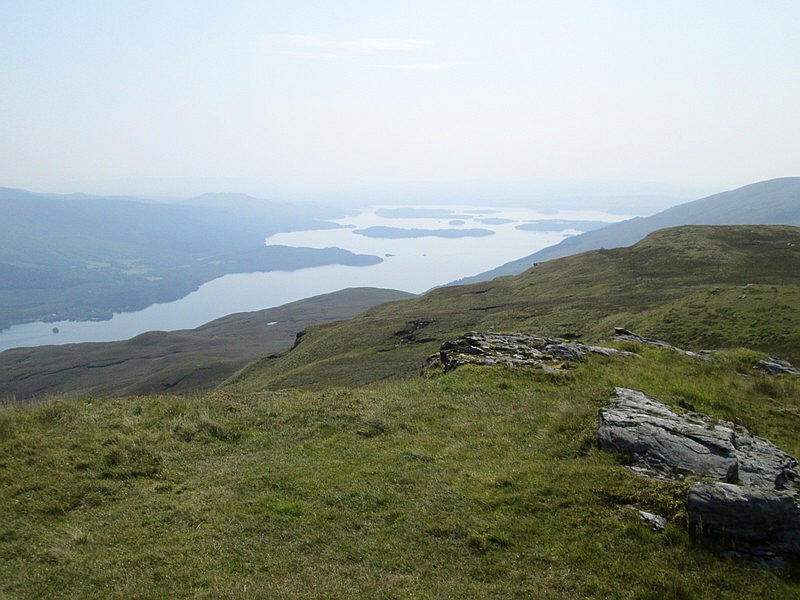
....whilst to the south are the numerous islands in the part of the loch south of Luss.
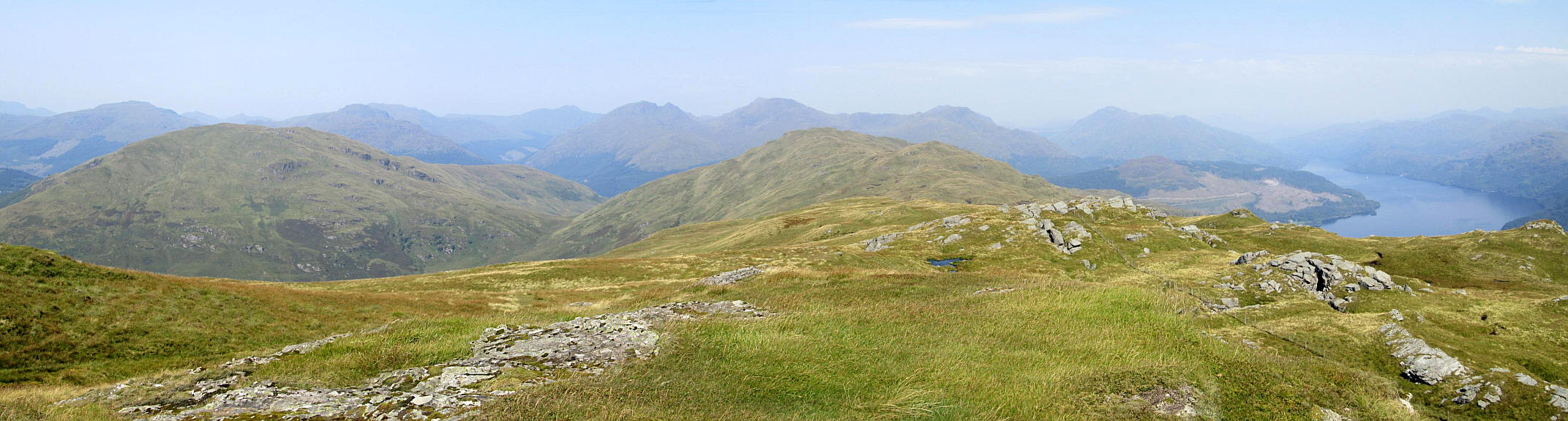
Summit panorama looking from west to north.
Click on the photo to see a larger image.
This image has also been combined with a panoramic diagram from this website which shows the names of the hills:
https://www.udeuschle.de/panoramas/makepanoramas_en.htm
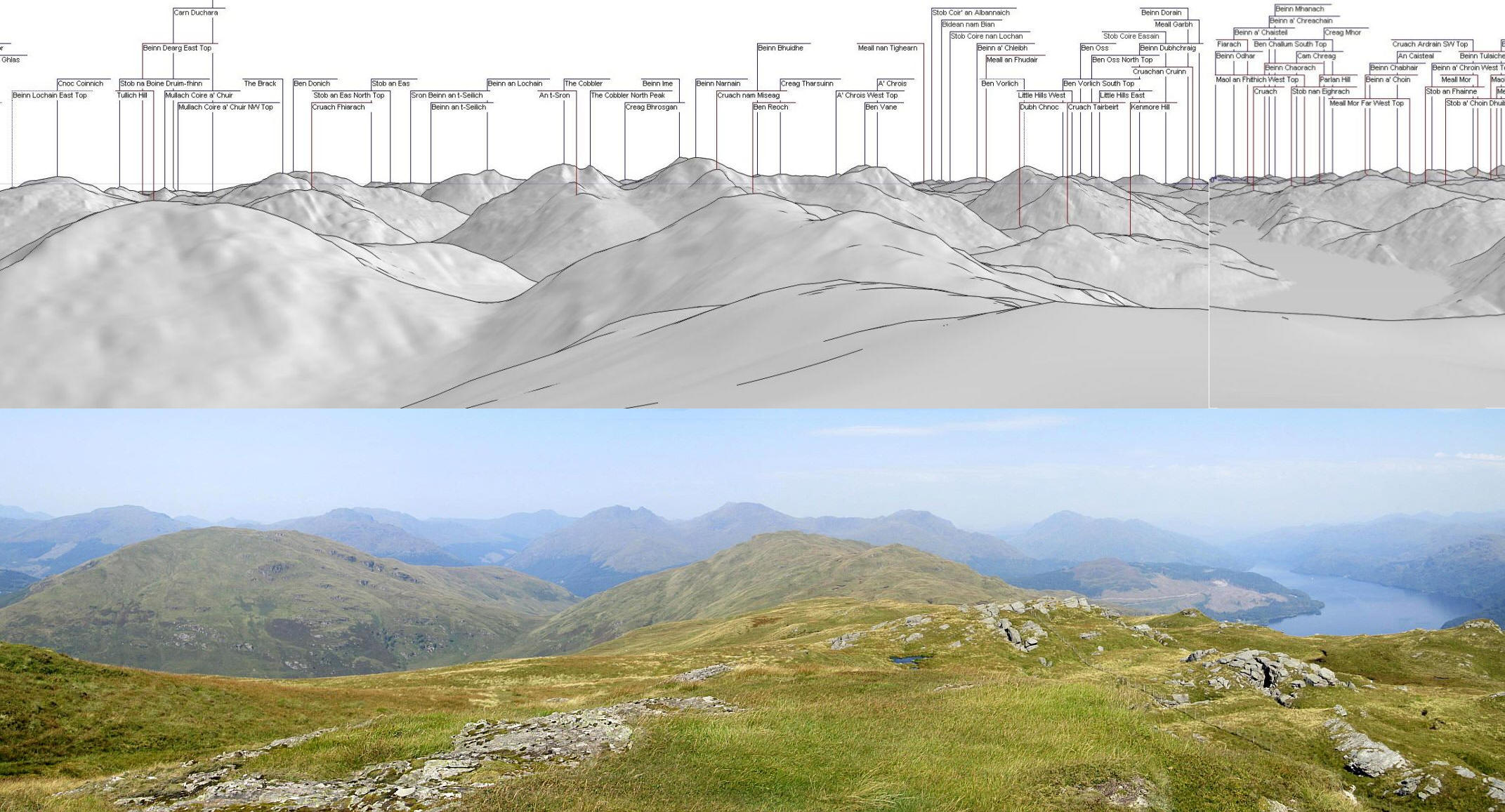
Click on image to see full sized version.
Rather than return to Inverbeg I had decided to extend the walk on to Arrochar and Tarbet station, have a meal at a restaurant and catch an evening train back to Glasgow. That also didn't work out as planned as will become obvious later.
The next few photos show the return to the road at Invergroin. Here I am dropping down to the gate in the fence.....
......and then rejoining the ATV track downhill.
I'm now at the upper corner of the fence by the wood....
....and I follow the track downhill. As is so often the case it is more obvious going downhill.
Eventually the ATV track fades but those waymarks guide me back to the road.
It's taken almost an hour and a half to reach the road from the summit as I'm conscious of feeling overheated and my legs don't feel as steady as usual. This is something I've noticed before when I've climbed steep hills in hot conditions.
Back on the road the finger post for Tullich Hill is passed but....
......I have my sights on reaching Arrochar and Tarbet so I walk as quickly as the heat allows. There's little traffic on the road and it's actually quite a pleasant walk.
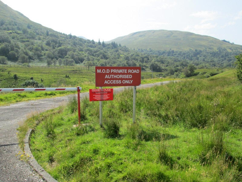
Of course Glen Douglas is notorious for being one of the major ammunition storage sites for the Ministry of Defence and...
....soon I am walking along the perimeter fence with warnings about armed police and dogs,
You can see the various installations and railway lines quite clearly from the road but I decide not to take any photos. I discover later that day that a train carrying ammunition left Glen Douglas three hours before I passed the depot.
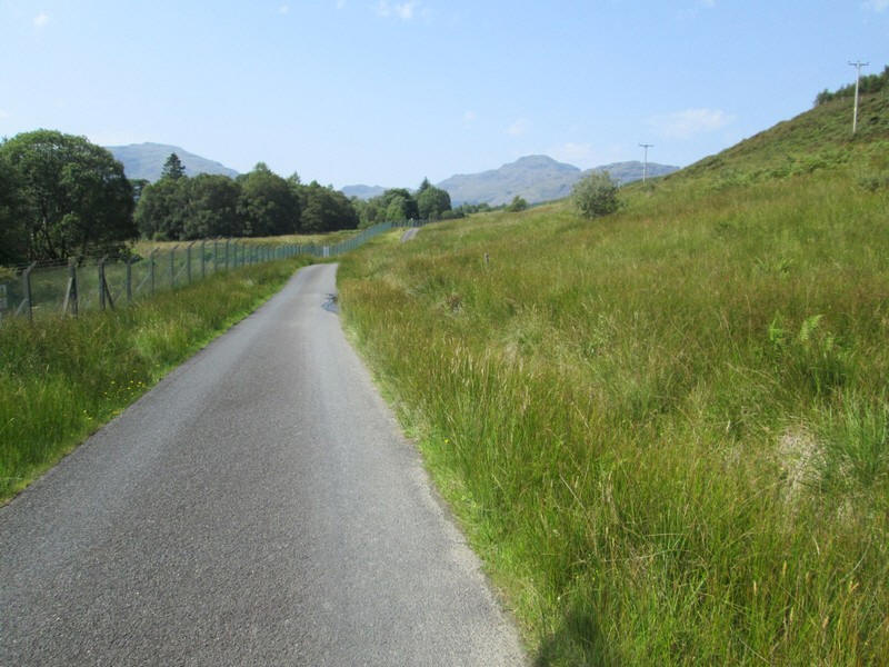
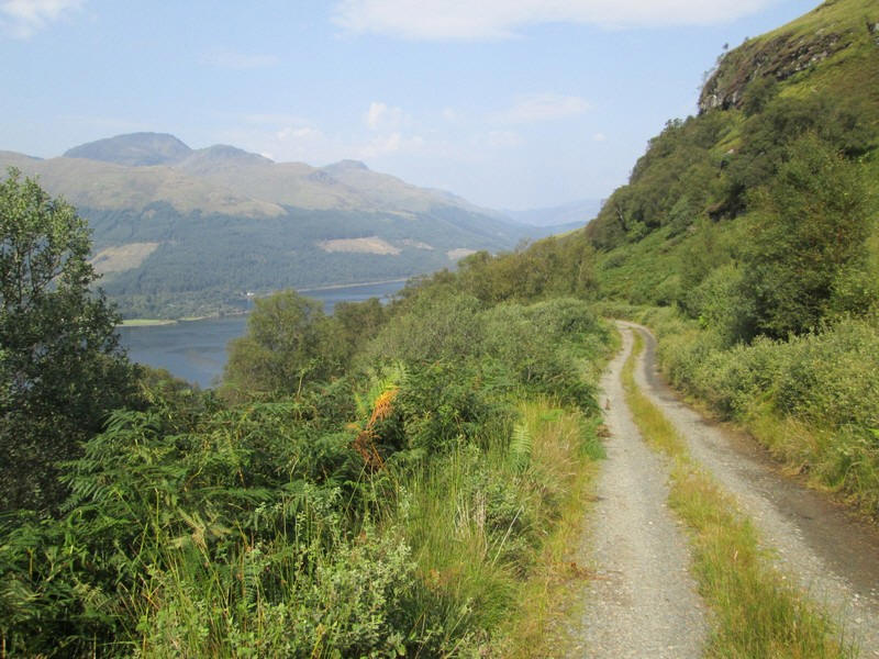
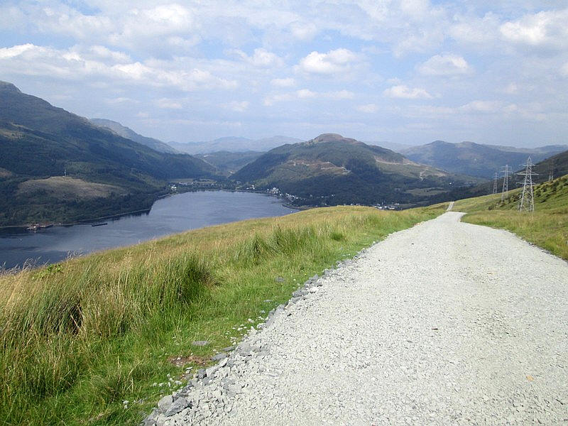
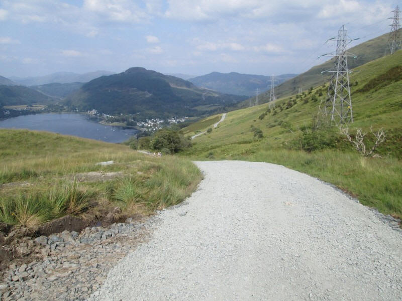
Just beyond the MOD site I turned off onto the Three Lochs Way which uses a broad vehicle track built, I believe, when the power lines to the Inveruglas HEP plant were erected.
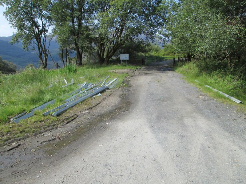
The sign in the distance imparted yet another piece of bad news. The path to Tarbet was closed because of work building another power line. The diversion would take me down into Arrochar some distance from where I wanted to be.....
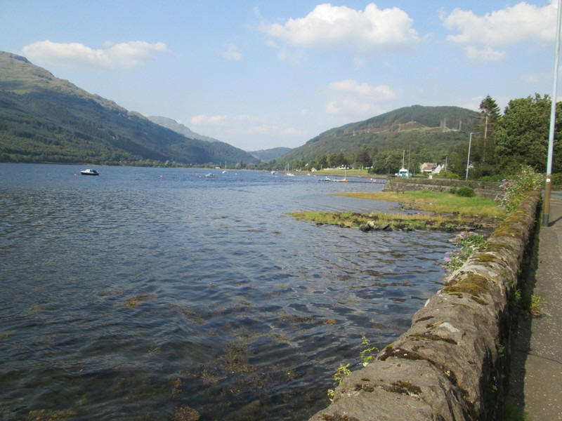
Looking south down Loch Long ....
...and north towards The Cobbler and Beinn Narnain. Of course being mid afternoon it now felt hotter than ever - it was about 28 degrees that afternoon in Arrochar and I am afraid my mood was not really conducive to enjoying the scenery!
Looking across Loch Long with the large hotel (used by coach tour parties) at Ardgartan prominent.
The track has some really attractive sections as it clings to the hillside. Just below and out of sight on the left are the tracks of the West Highland railway line.
This section of Three Lochs Way has a considerable amount of ascent and descent. In total between the MOD depot and Arrochar there was about 150m ascent and about 305m descent. A section of the track has been strengthened for the work being carried out in 2025 and 2026. Here I am beginning to drop down from the high point....
....and Arrochar appears . The diversion followed a waymarked path from near the trees and through the woods down.....
......to sea level at Arrochar.
Fortunately, I arrived with about an hour
to spare for a bus back to Glasgow otherwise it would have been a walk uphill to
Tarbet.In total the walk from Inverbeg to Arrochar was about 11 miles with a
total ascent of 915m and 922m down. It had taken 8 hours.
I will return to climb Tullich Hill although there has clearly been a lot of
tree plating on the slopes leading up from Invergroin and I wonder if there will
be problems with deer fences.
I had intended to climb one of the Luss Grahams (Cruach an t-Sidhein) on the
following day but a combination of things led to be not attempting it. I
developed a blister on the sole of my foot - the first for years and no doubt
caused by the heat. On top of that there was severe congestion on the A82
because of the amount of summer traffic. My bus left Arrochar bang on time and
arrived in Glasgow an hour late. I really didn't fancy a repeat of that. In the
end I went to the Isle of Bute and did the bus tour round the island seeing
places I've never been to before.