Beinn Bhrotain
Click on the square in the top left hand corner to see a larger map.
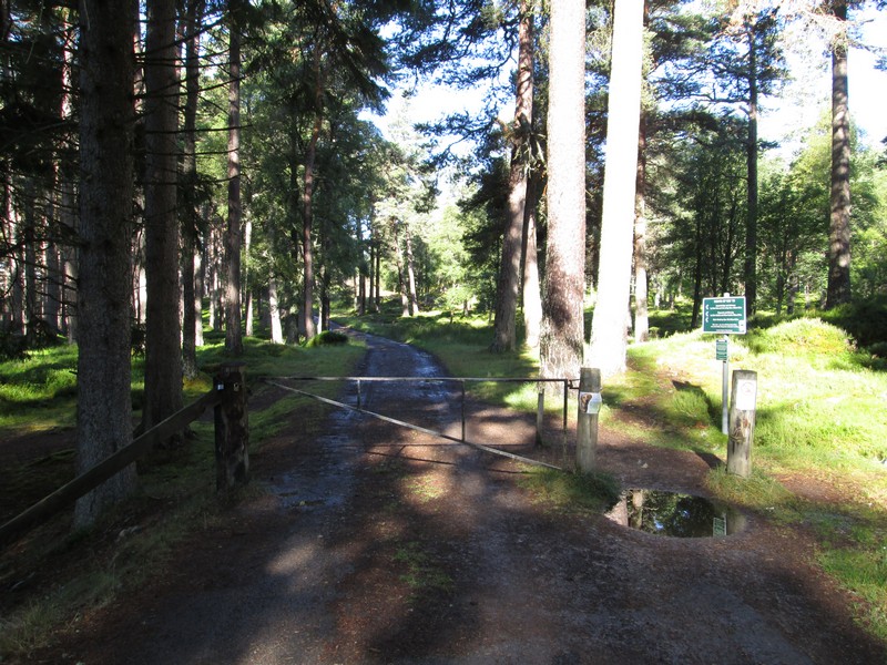
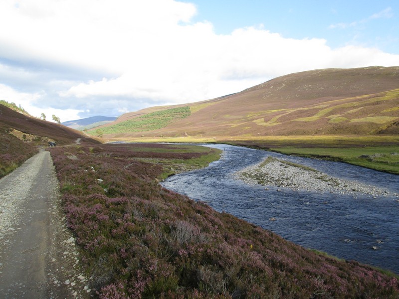
This walk took place on a pleasant day in August 2017 and above is the beginning of the walk up the estate road from Linn of Dee which eventually crosses the Lairig Ghru and then beyond towards Aviemore.
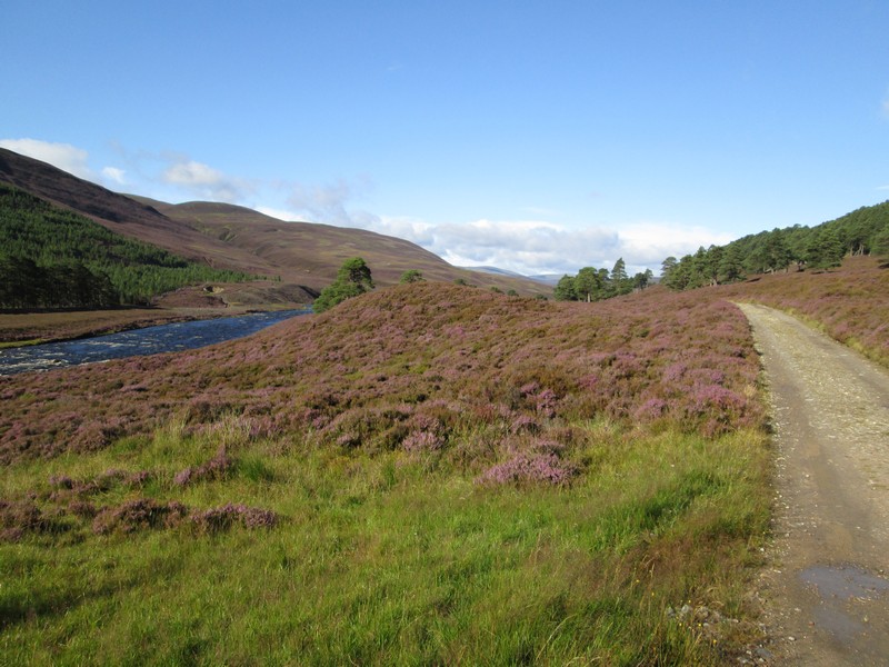
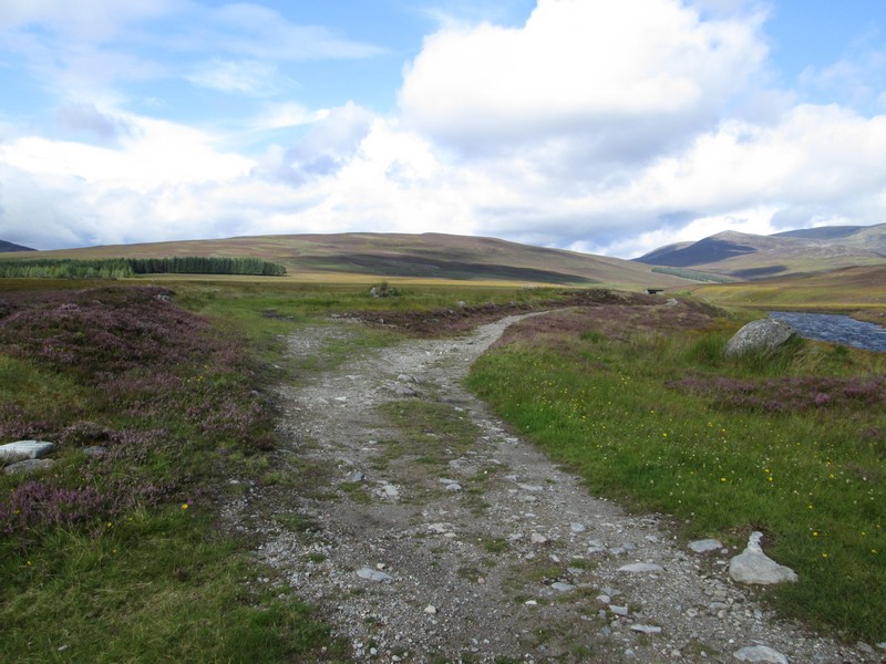
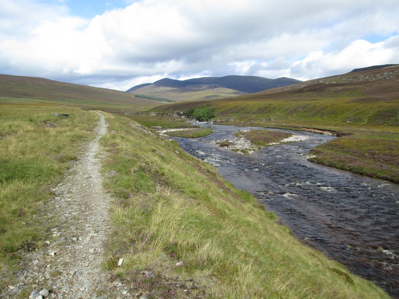
The first hour or so is an easy warm up along the track by the side of the River Dee.
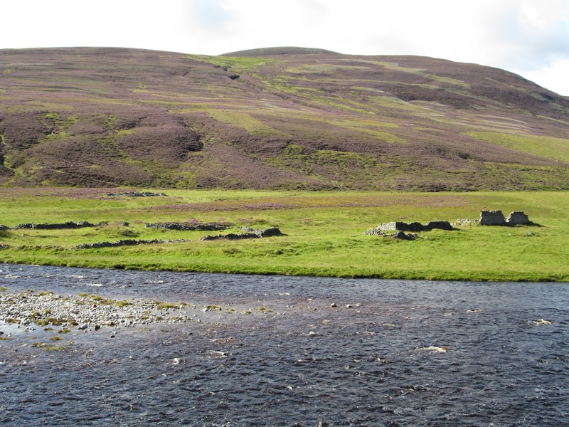
Like so many glens there is evidence of earlier settlements to be seen.
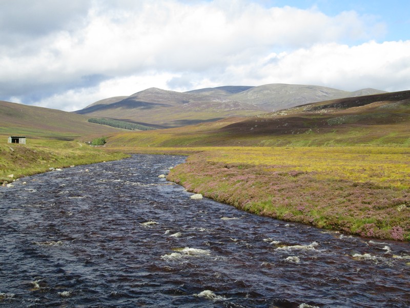
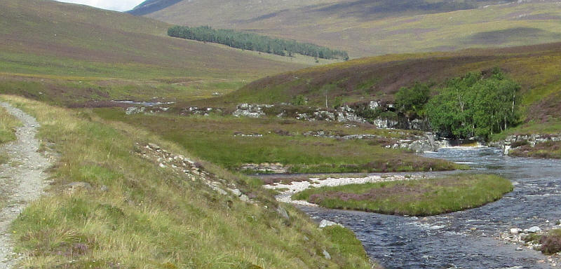
Just before reaching the "White Bridge" the Geldie Burn joins the Dee.
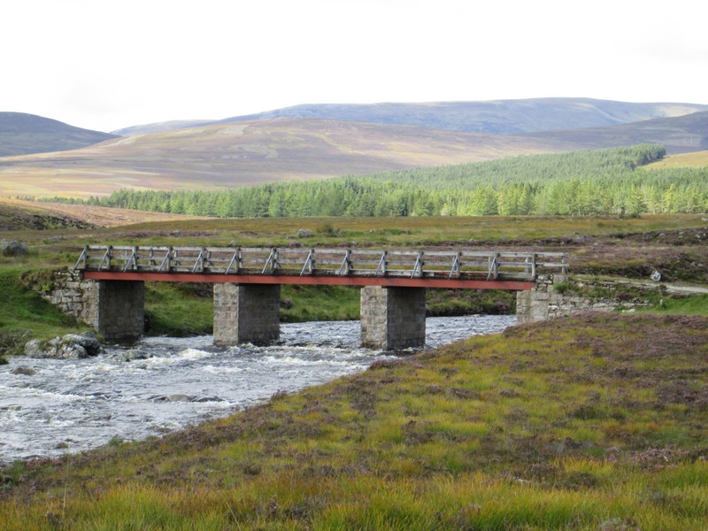
The "White Bridge" is, of course, not white at all and it's here that the way to Beinn Bhrotain crosses the river and...
...the first really good views of the hill can be seen.
Immediately after the bridge the track to the hills branches off by the river ...
...passing the "Chest of Dee"...
...where the river tumbles over a small waterfall.
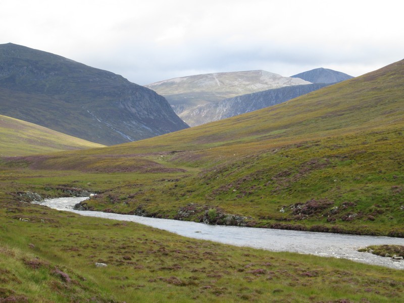
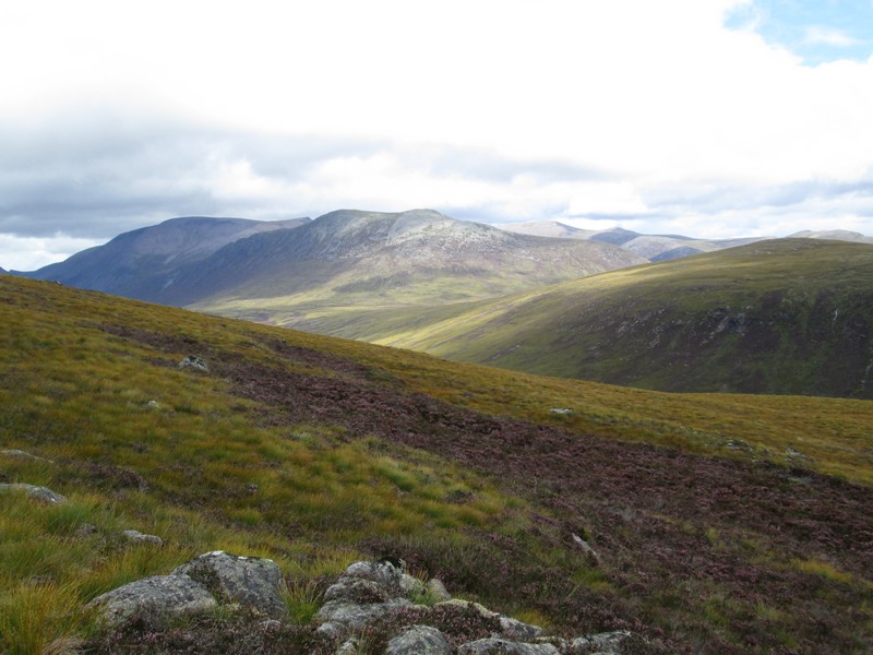
As the path gradually turns from heading from the west towards the north-west more of the high hills come into view.
The sheer cliffs in the centre are of the Devil's Point (1004m) , over to the left of centre is the 1213m Stob Coire an t-Saighdeir (not a Munro) and behind that the dark triangle of the 1291m high Cairn Toul.
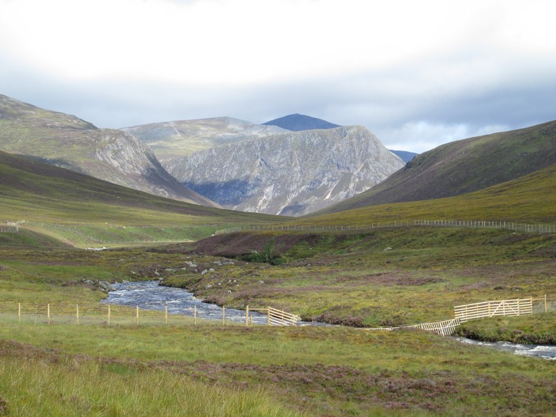
The track now heads away from the river towards a small plantation....
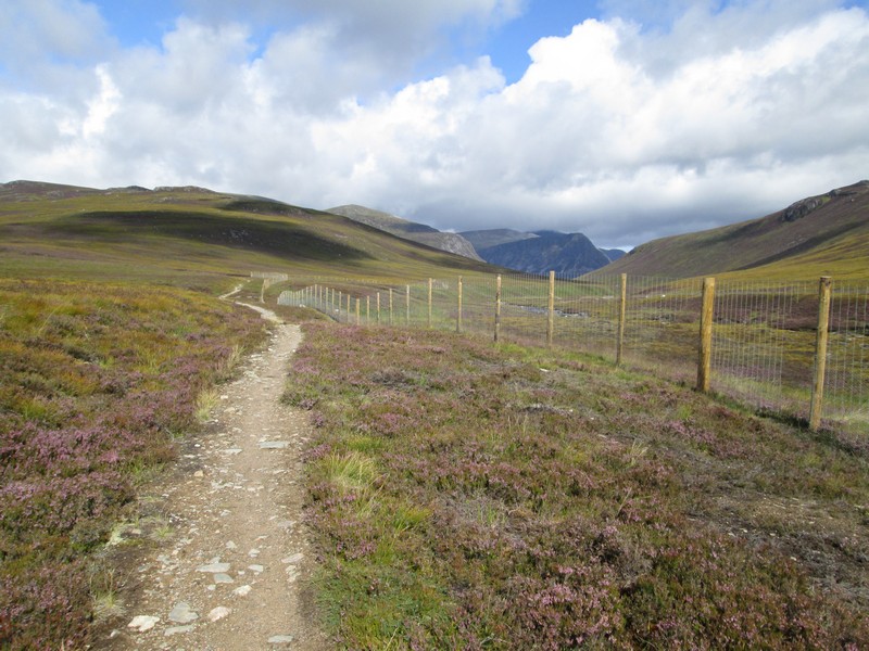
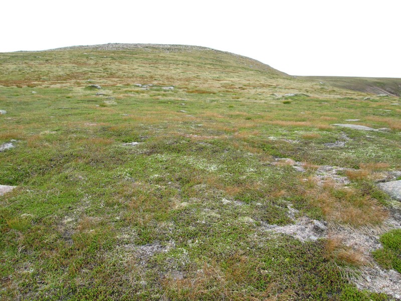
...before running beside a fenced conservation area that was part funded by the EU and aims to re-establish some of the natural vegetation of the glen.
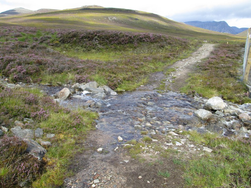
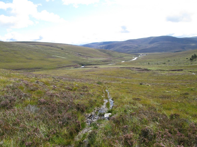
A small burn has to be crossed....
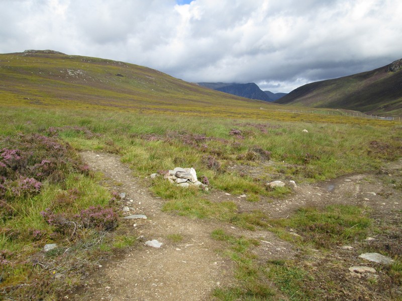
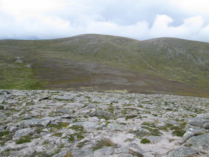
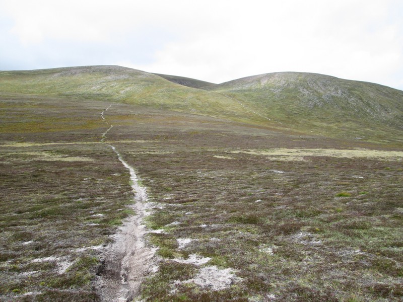
.....before a small cairn marks the hill path junction off to the left.
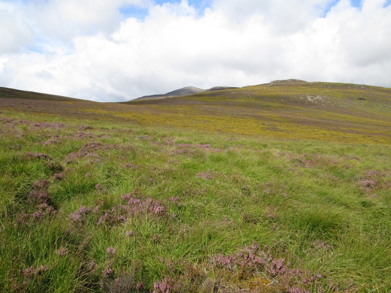
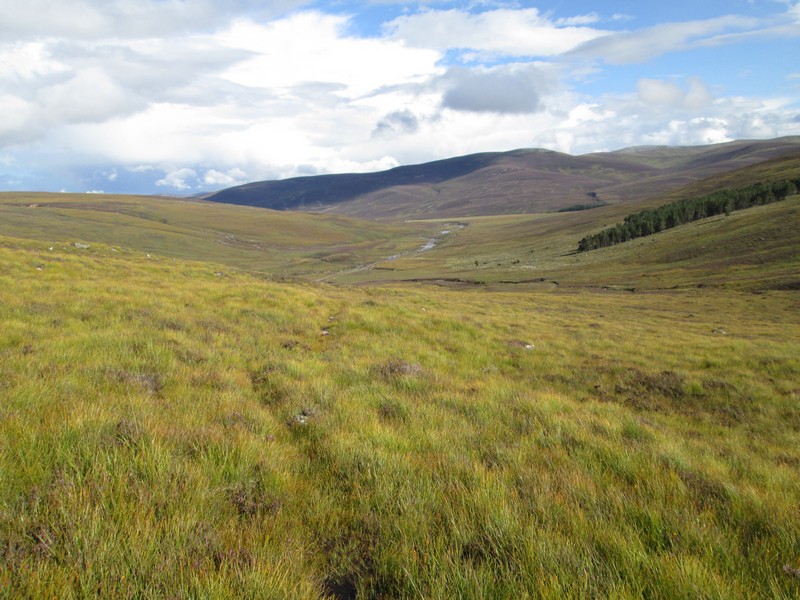
After a short distance there is a very faint path leading off across the heather moorland. Guess who missed this on the way up? (This photo was taken on my way down the hill.)
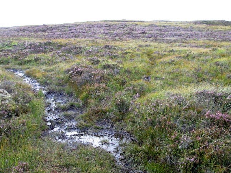
The clearer path leads off parallel to the stream and disappears after a few hundred yards.
Oh well! Let's head up across the hill in the right direction towards my next GPS waypoint....
Eventually I find the proper path again and head off up..
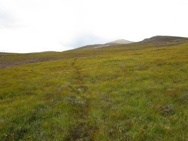
....the gentle slopes below the crags on Carn Fiatlach Beag.
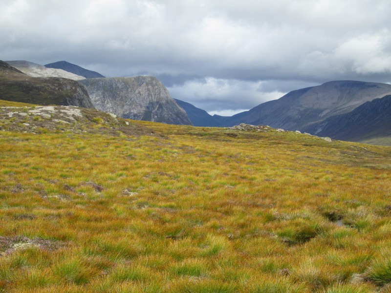
The views now start to open up with from left to right the summits of Cairn Toul and the Devil's Point, the lower point of the Lairig Ghru pass and on the right Ben Macdui.
Another view of the hills to the east with, from left to right, Ben Macdui, Carn a' Mhaim and Derry Cairngorm.
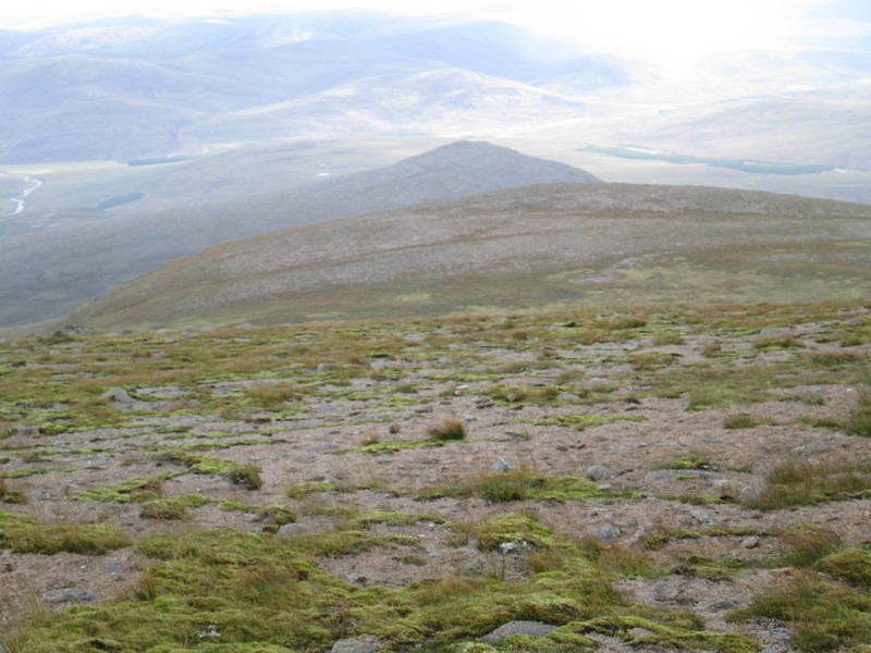
Looking back downhill with the crags on Carn Fiatlach Beag.
A little further up the hill the River Dee has come into view.
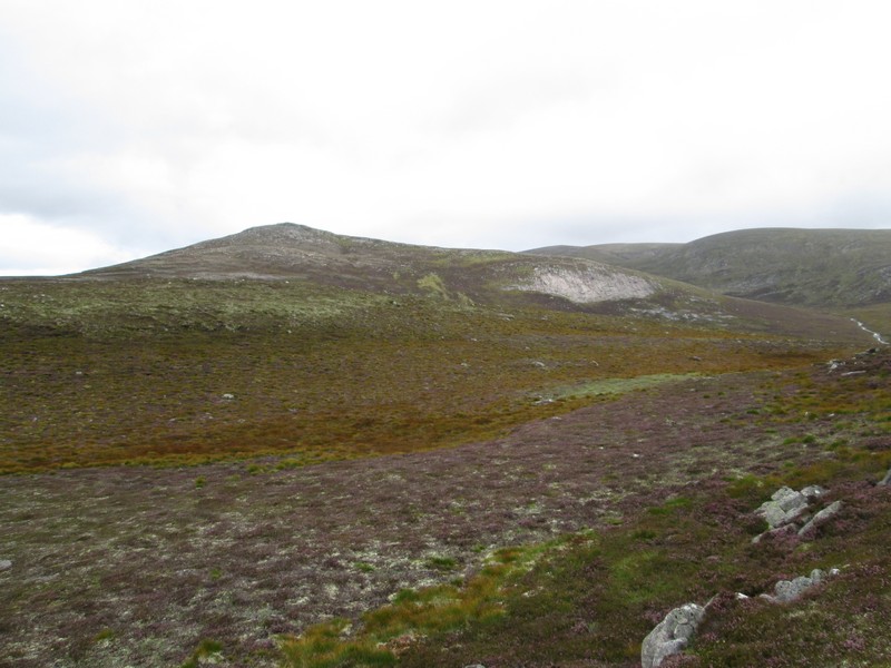
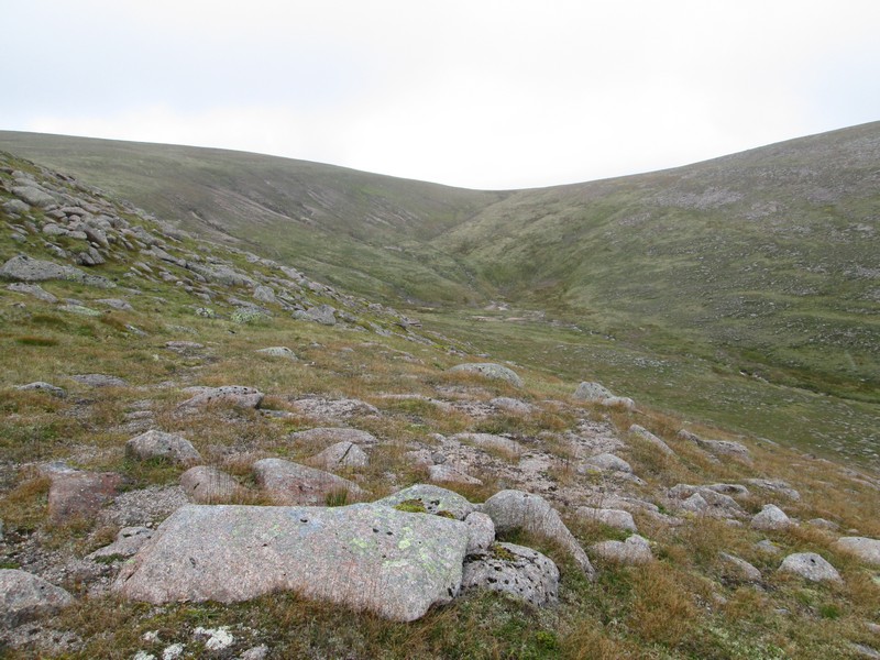
It's a long way to the summit of Beinn Bhrotain and the first objective is to reach the 942m high Carn Cloich-mhuilinn, which used to be a separate Munro.

Click on the photo to say a larger panorama of Carn Cloich-mhuilinn and in the distance Beinn Bhrotain. Then click on the image again to see it full size.
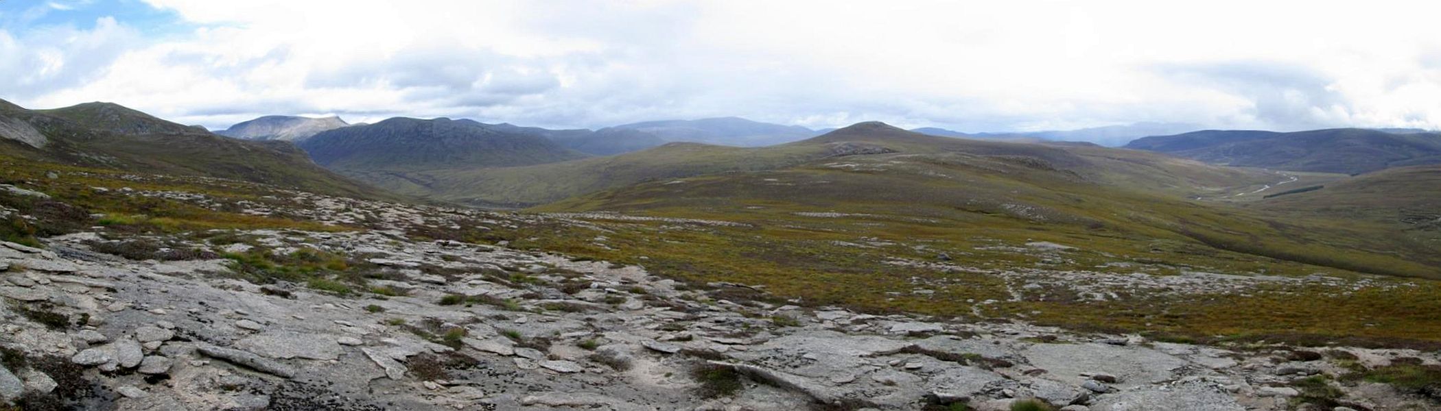
Click on the photo to say a larger panorama looing down the hill with more Cairngorm peaks in the distance.
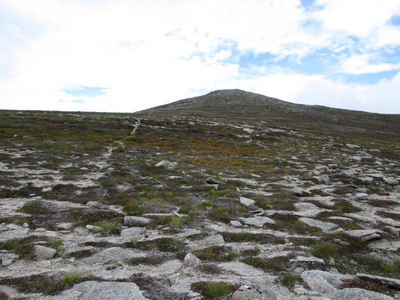
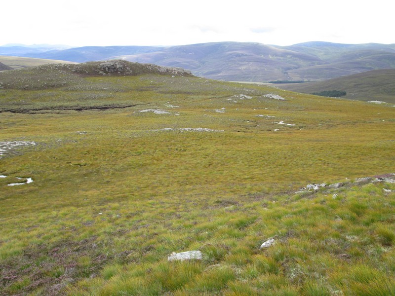
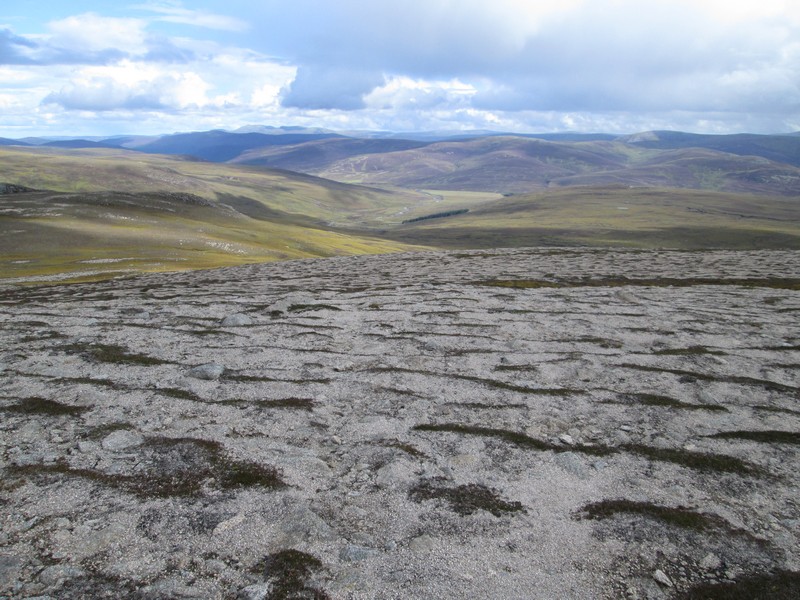
On the climb to Carn Cloich-mhuilinn the ground gets noticeably more stony.
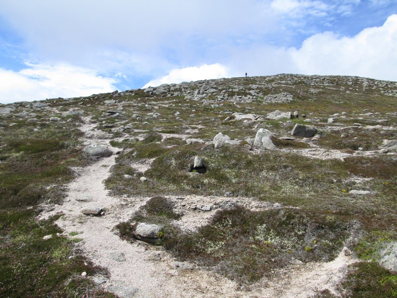
I'd briefly seen another walker about 30 yards in front of me at one point but he just waved and walked off without a word of greeting - most unusual in Scotland! Perhaps he was a man with a mission and didn't want to waste a second. I didn't see him again after this view silhouetted against the skyline.
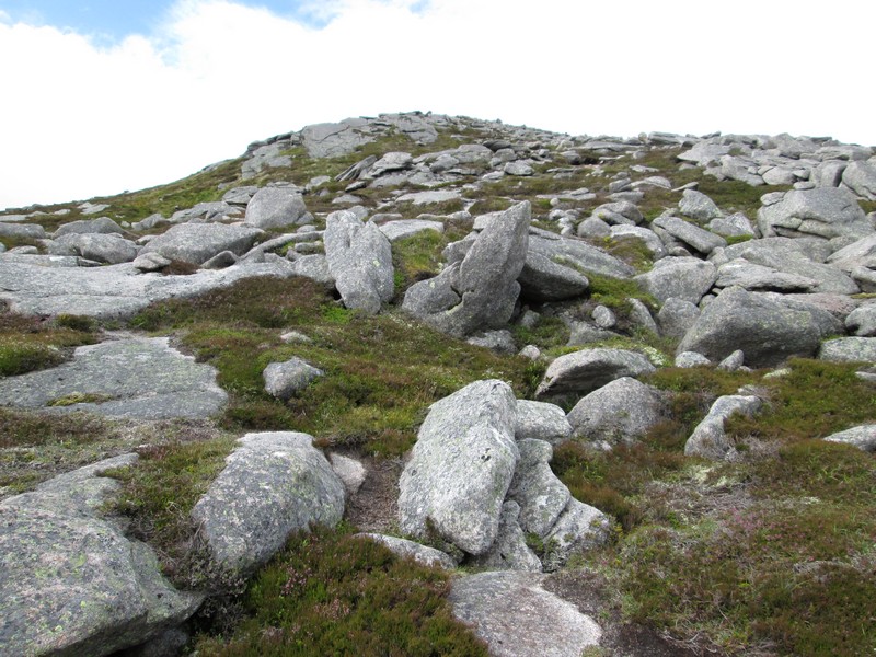
To get to the first summit the path weaves through boulders to reach...
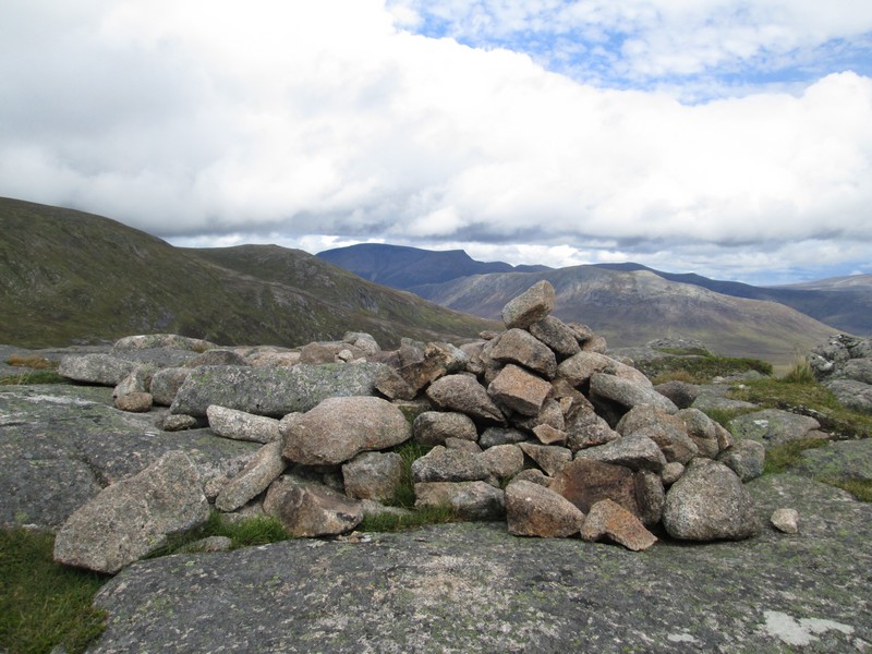
.....the cairn on Carn Cloich-mhuilinn.
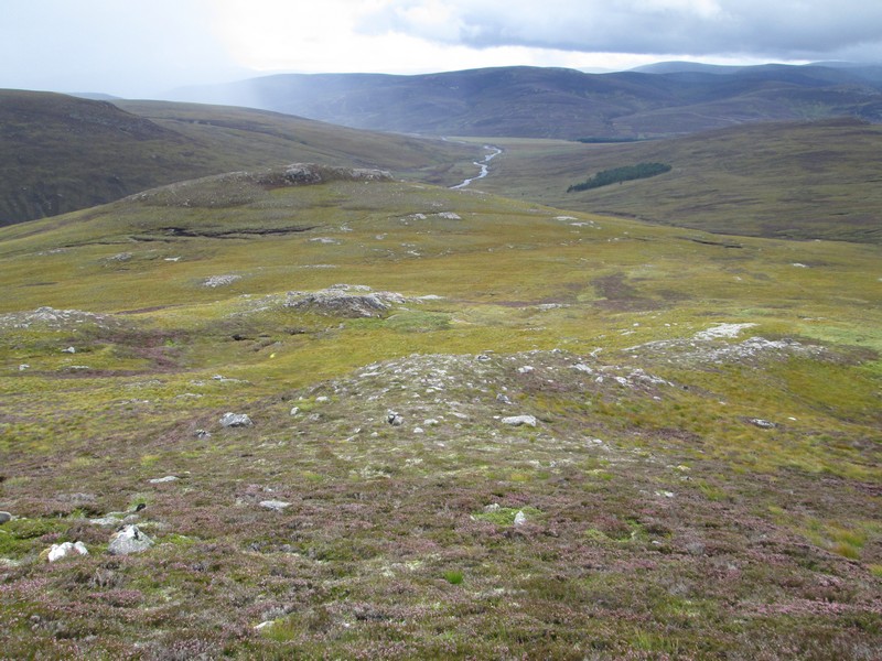
There's now a drop of about 80 metres to a coll...
...with a very clear path lead towards Beinn Bhrotain itself.

There's a slightly boggy section towards the end of this stretch of the walk before the way forward heads towards the gently sloping ridge seen ahead.
There are some sections of a track but...
...mostly it's a case of head straight up the grass..
....with the stream from Coire an t-Sneachda over to the east.
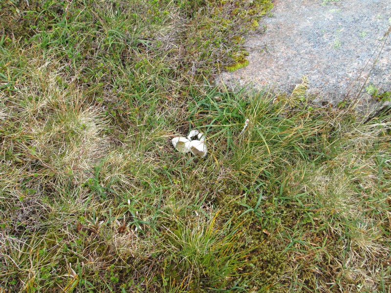
Lying in the grass were three egg shells - did the chicks hatch or were they eaten by a predator, and what are the eggs?
The final climb is over gravel and thin grass...
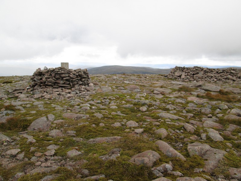
...with the summit having a trig column and a shelter. The summit is at 1157 metres and is the 19th highest Munro. It had taken me five and a half hours from Linn of Dee, about an hour longer than I'd expected. I'd had vague ideas of possibly going on to the next Munro...
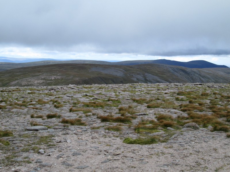
... Monadh Mor, which can be seen directly ahead in the photograph above. The dark hill on the right is Sgorr Gaoith. However, I decided that this was now too far to reach and get back to Linn of Dee at a reasonable time so I'll now climb Monadh Mor from Glen Feshie.
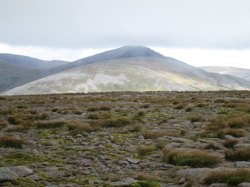
Looking towards Cairn Toul with the cliffs of Braeriach visible to the left in the distance. On the right is Cairn Lochan on Cairngorm.
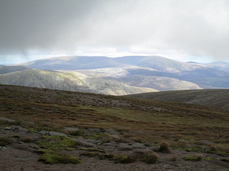
The hill in distance is Beinn a'Bhuird (North Top on the left and South Top on the right). In the foreground are (from left to right) Carn a'Mhaim and Beinn Bhreac.
Beginning the long walk back down the hill.
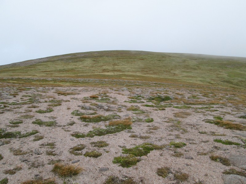
I was fascinated by the almost wave-like erosion that could be found on this hill - presumably it's caused by the predominant wind and rain coming from the north west and causing the soil to be eroded and the bare grit to flow downhill in a wave-like formation.
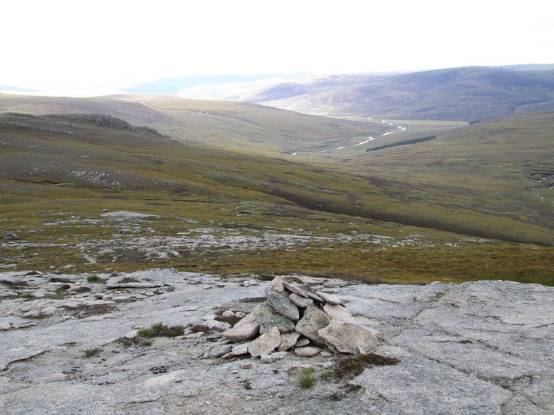
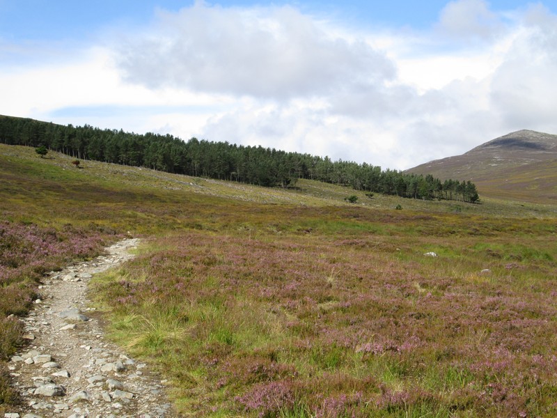
The start of the downhill path is marked by this cairn...
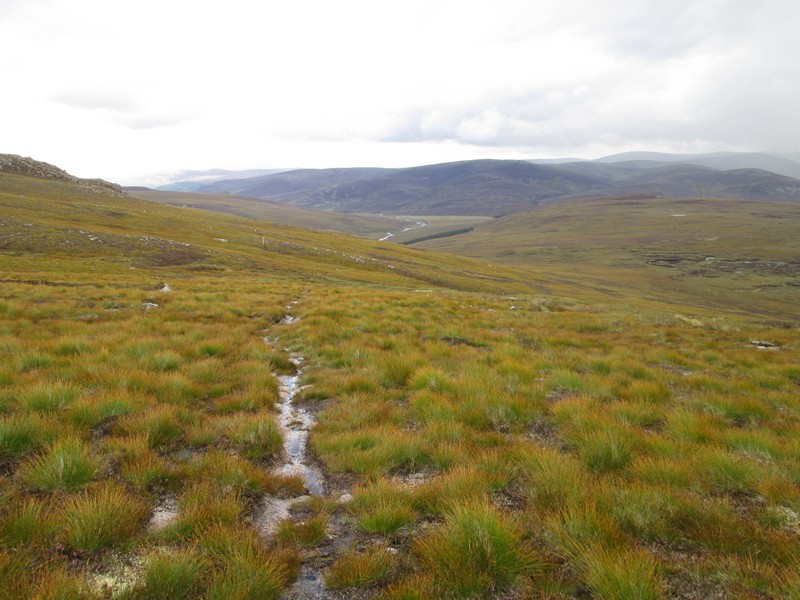
..a clear path can be seen leading across the moor...
...although the plantation is a good guide if you loose it.
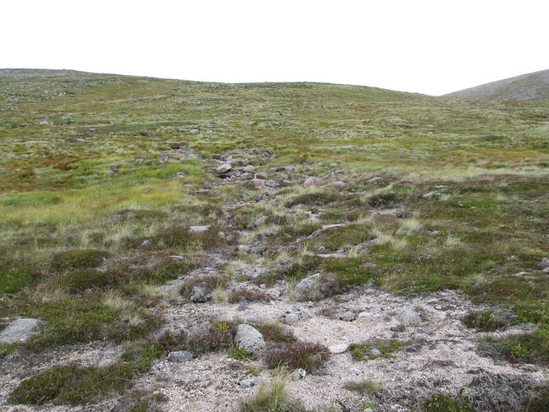
Finally back at that faint path junction...
...and all that remains now is another two hours back along the good glen track top Linn of Dee. The return walk took about 4 hours and a half hours.