Beinn Damhain
Beinn Damhain can be climbed using public transport from near The Drovers Inn at Inverarnan.
On a September morning in 2024 I caught the 06:40 bus from Glasgow starting the walk just after nine o'clock.
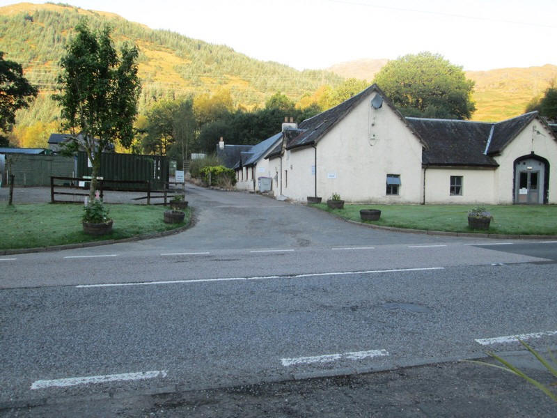
Directly opposite the Drovers Inn the access road to Inverarnan Farm is the starting point of the walk.
The first part of the day's walk starts along a track constructed whilst the pylons were erected for Sloy hydro scheme. It is now very overgrown, wet and at times difficult to follow but it avoids the need to walk on the dangerous A82 to reach the main hydro road that starts north of Inverarnan.
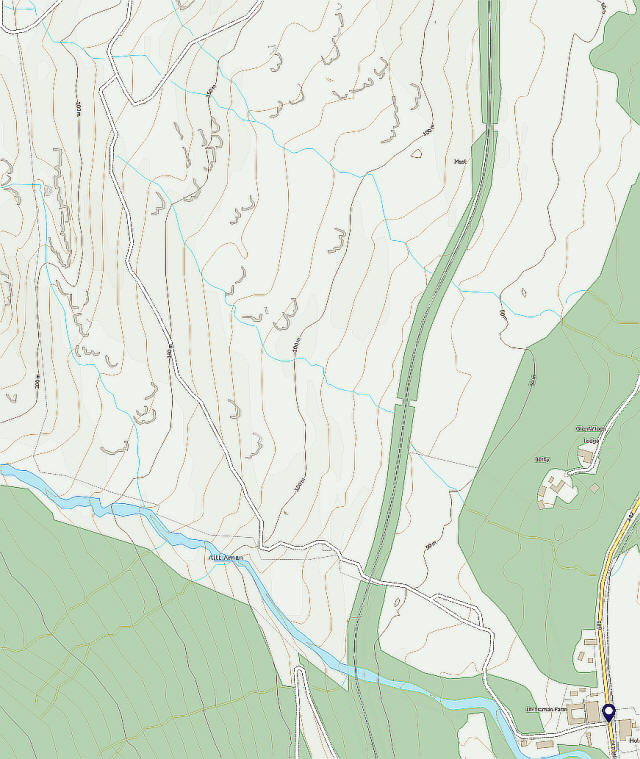
The map above is taken from the OS website base map and shows the track.
This is not shown on the 1:25000 maps.
There's a stile and open gate .....
...which leads to the track through the trees...
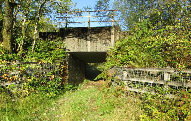
...and through a very low bridge under the railway. If you are taller than 5' 6" duck!!
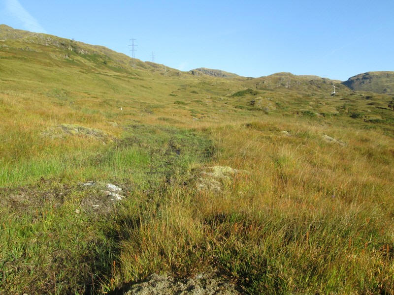
Beyond the bridge a fairly clear track appears to head across the hillside. However, this wasn't the correct way and it petered out. The correct track (which is heavily overgrown) is a bit higher up the hillside.
I cut up the hillside once I realised my mistake to join the correct one.
Looking back towards Loch Lomond.
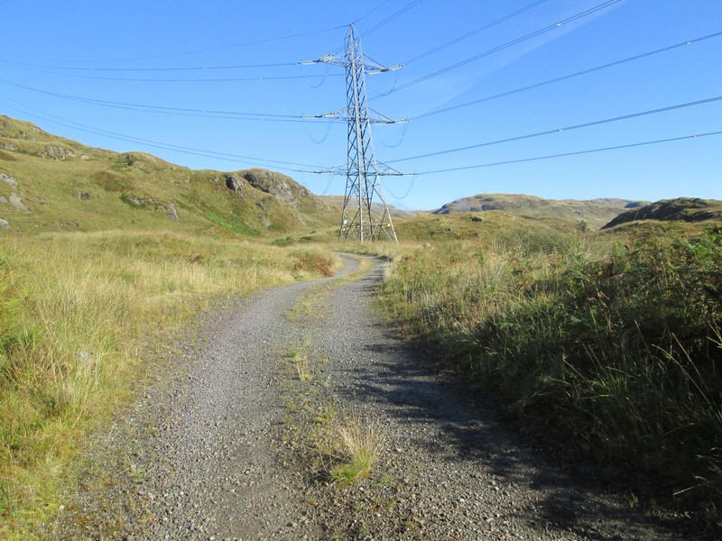
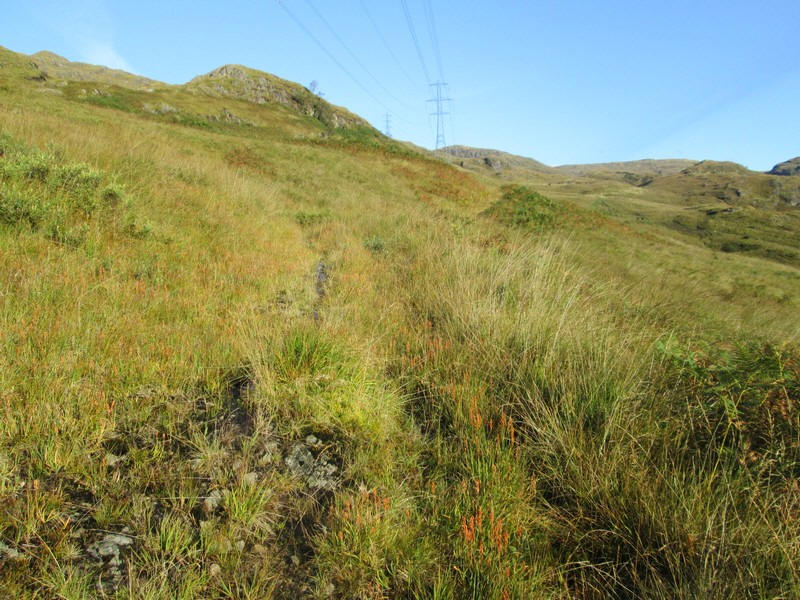
After about 45 minutes I reached the hydro road that comes up from the A82 (NN 31116 19393) and then I headed uphill towards a pylon.
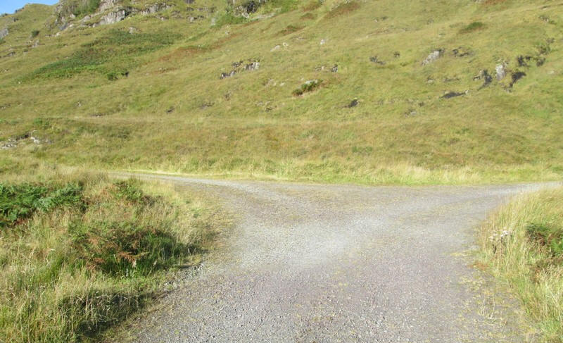
There is a "T" junction where the hydro road splits. The one I want is to the left and heads south west....
....towards the Lairig Arhan.
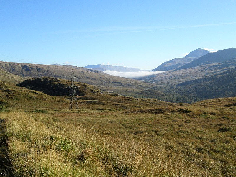
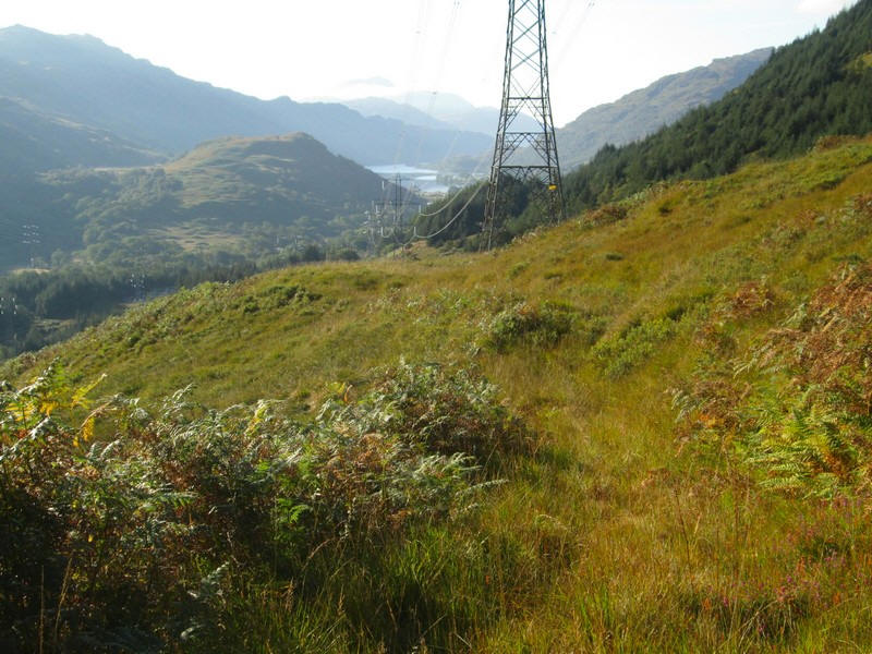
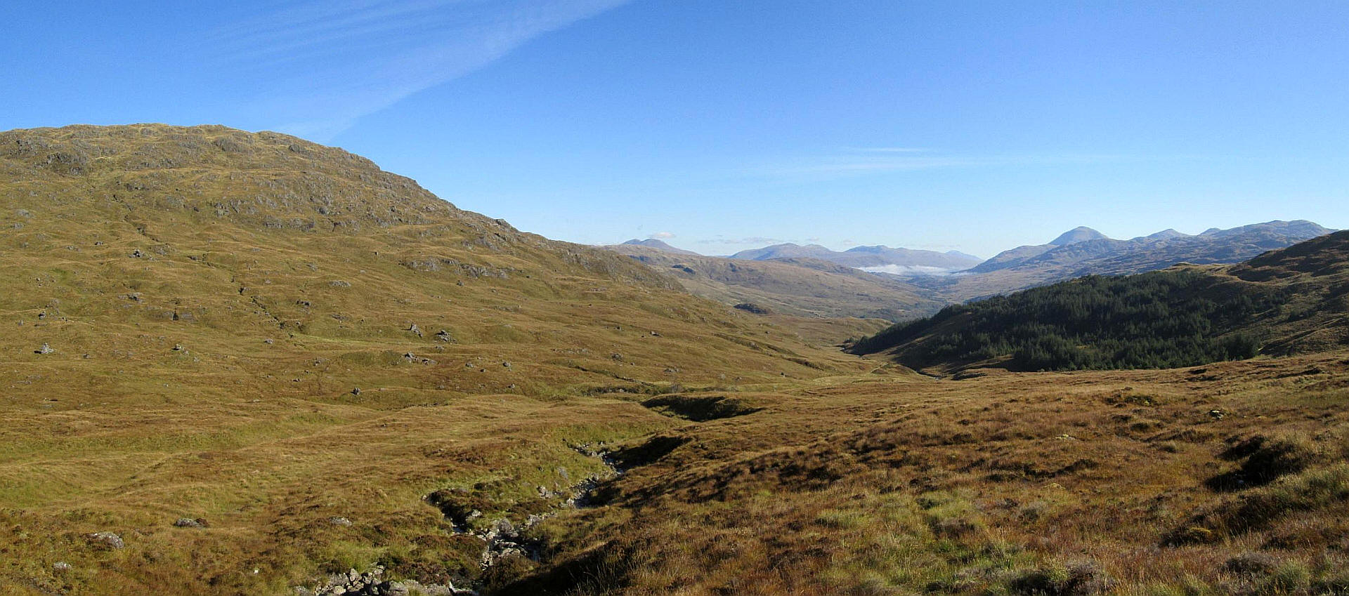
Looking up Glen Falloch towards Crianlarich with Ben More on the right. The last of the morning's mist is lingering in the glen.
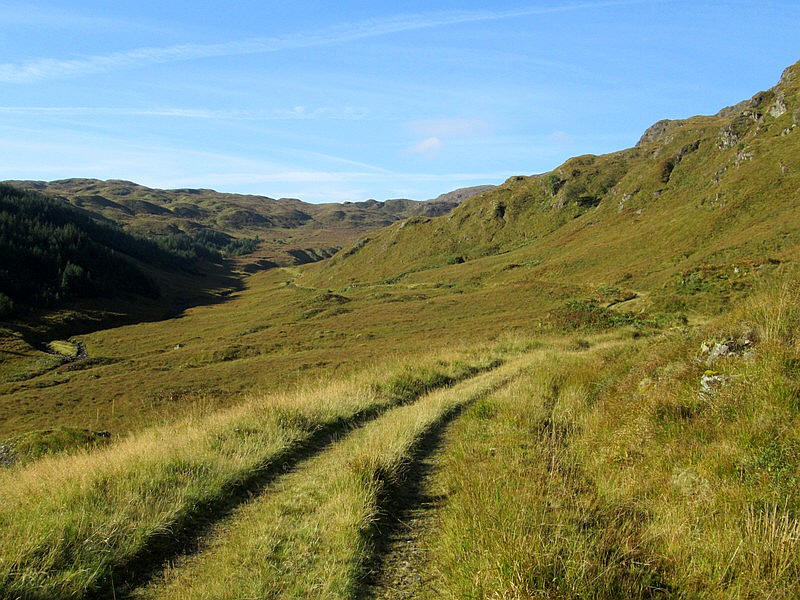
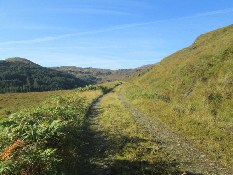
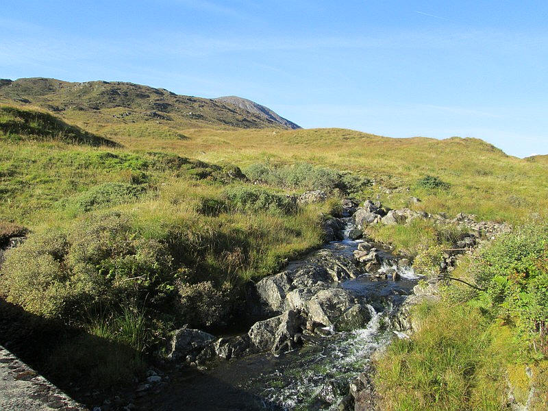
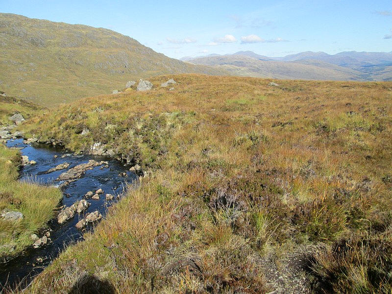
It's a pleasant walk as the track heads gently uphill with the Allt Arnan stream below.
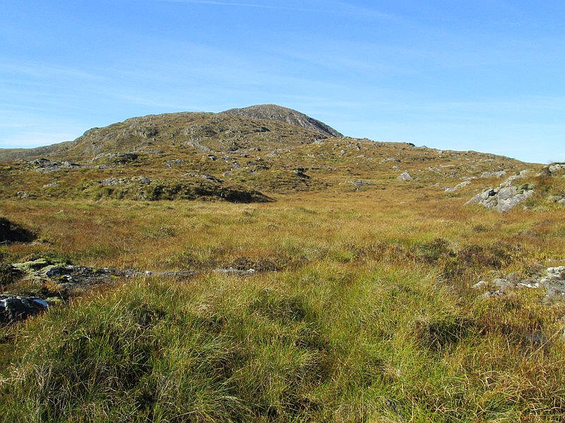
Rounding a corner Beinn Damhain comes into view.
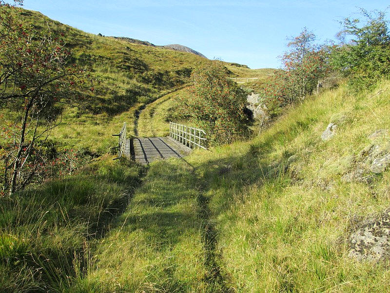
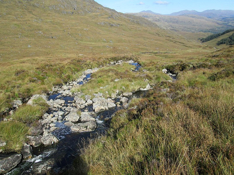
The hydro road crosses the Allt Arnan on a bridge...
...just below a small dam.
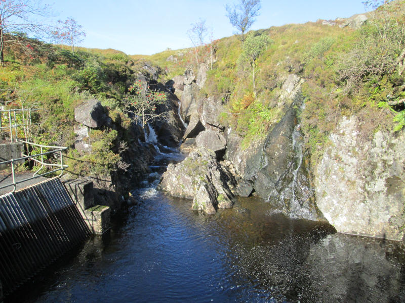
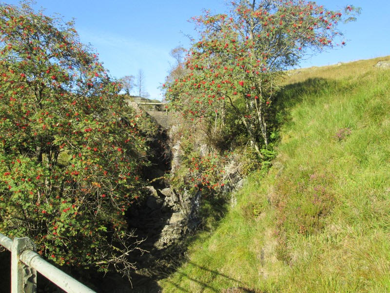
Behind the dam is a small pool where the rock was blasted away during construction of the hydro-electric scheme. On the left is the sluice gate which feeds water into the underground pipeline that takes water to the Loch Sloy dam.
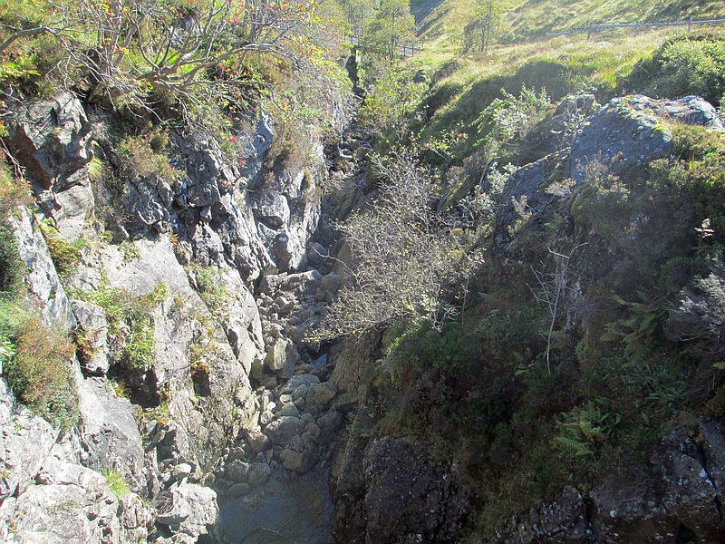
Some of the water still flows down this gorge created when the dam was built and flows into Loch Lomond. More about the Loch Sloy scheme can be found here:
https://en.wikipedia.org/wiki/Loch_Sloy_Hydro-Electric_Scheme
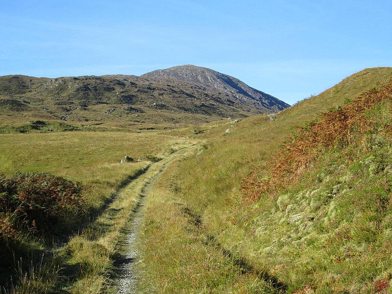
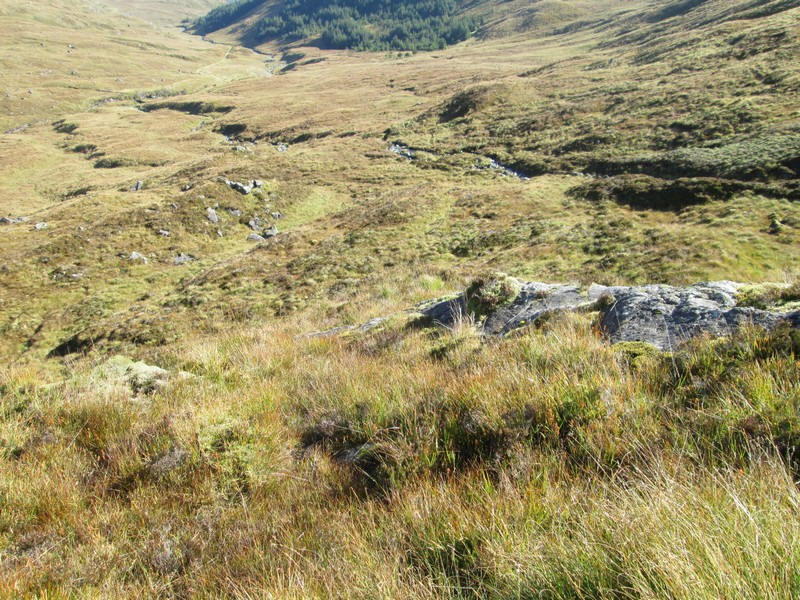
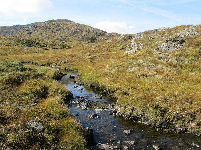
Above the dam the Allt Arnan stream.....
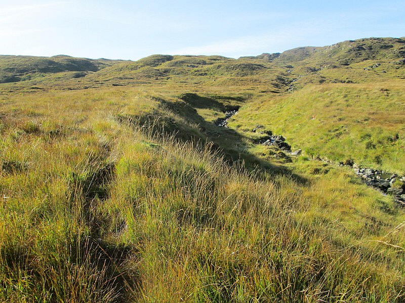
....has a faint track running by the side...
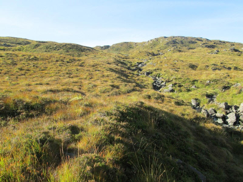
....before the gradient steepens and I need to find a place to cross the stream.
The place I chose was where the stream splits around a small island making it easier to cross with dry feet.
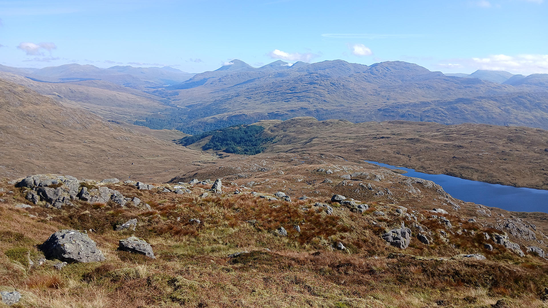
Below: Panorama looking north east with photo underneath.
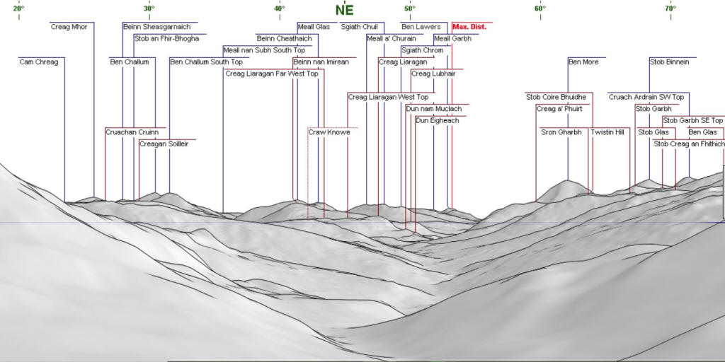
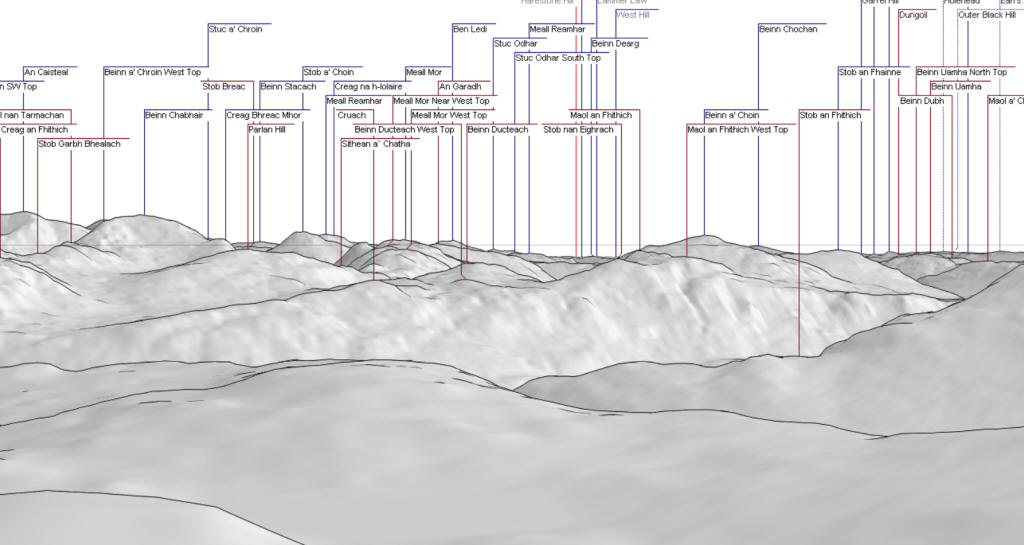
Looking north east numerous Munros can be seen, with Ben Challum on the left and the conical Ben More centre right. By comparing the panorama and photo Ben Lawers (42km away) can just be seen.
CLICK ON THE PHOTO TO ENLAGE IT.
The climb to the summit begins in earnest after crossing the stream.
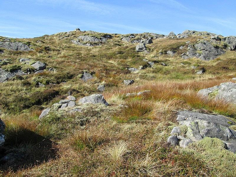
The ground was wet in places and totally trackless.
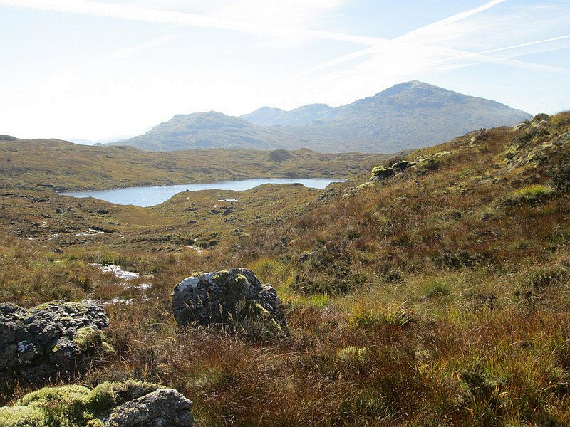
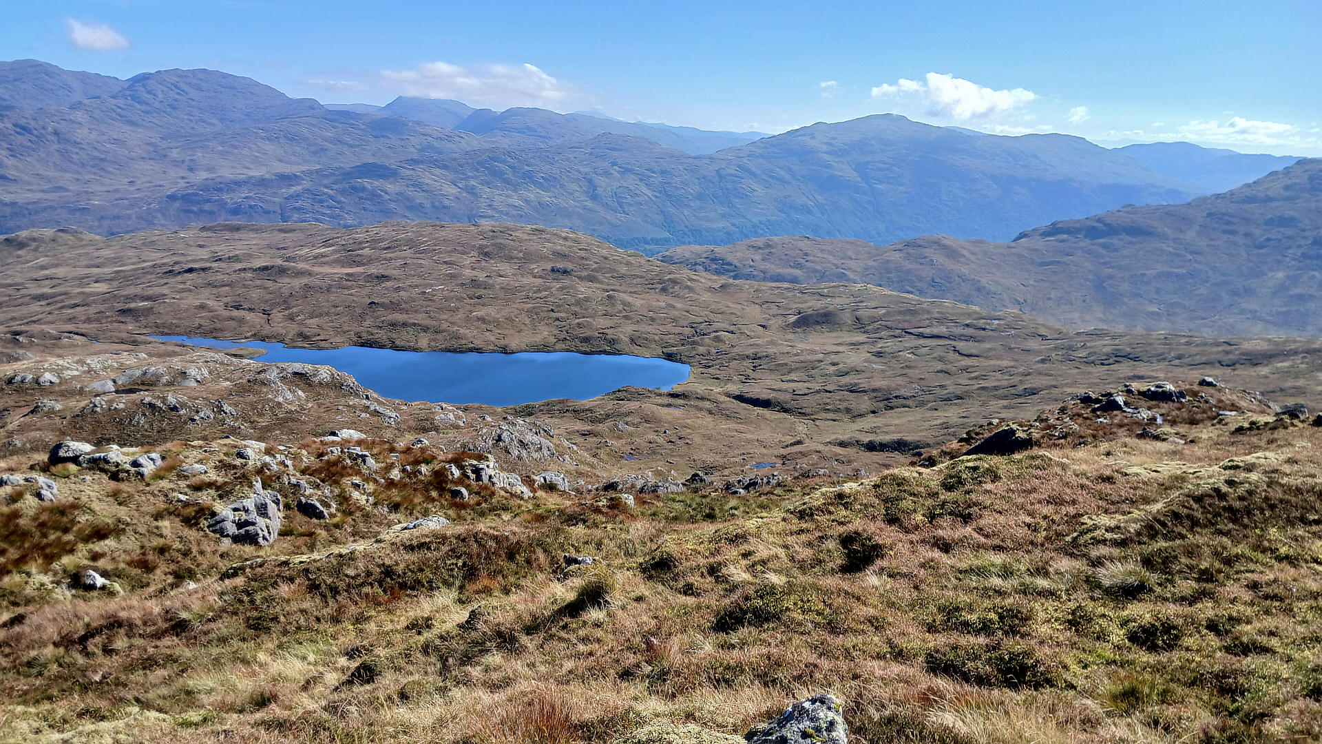
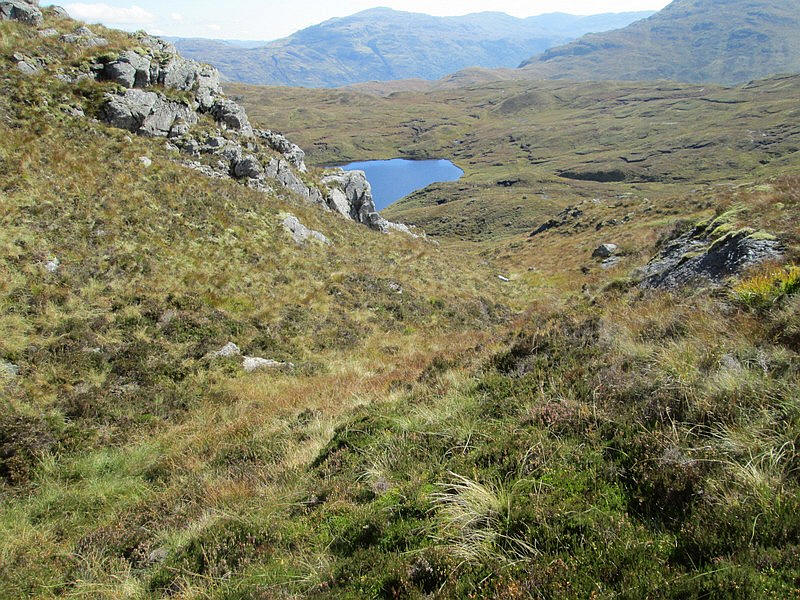
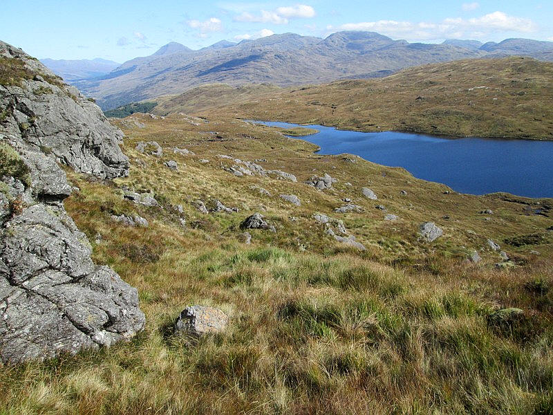
Appearing to the south east is Lochan Beinn Damhain with the Munro Ben Vorlich beyond.
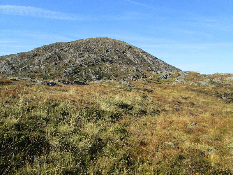
The summit dome of Beinn Damhain is full of rock outcrops which makes a change from the boggy grass lower down.
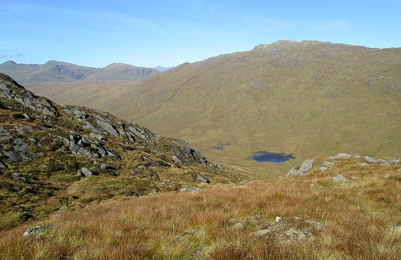
Over to the north in the Lairig Arhan there are several small lochans with the Corbett Meall an Fhudair above. To the left are the crags on the Munro Beinn Bhuide.
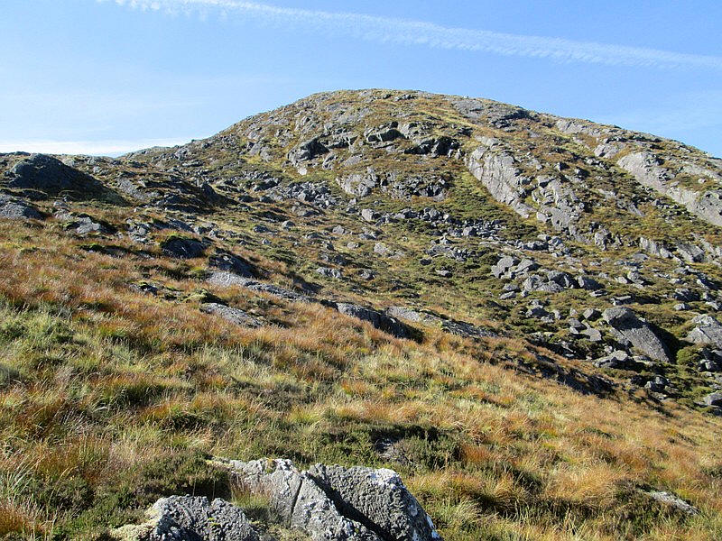
The final climb is up grassy rakes through the rock outcrops.
The summit cairn at 684 metres can be seen on the skyline.
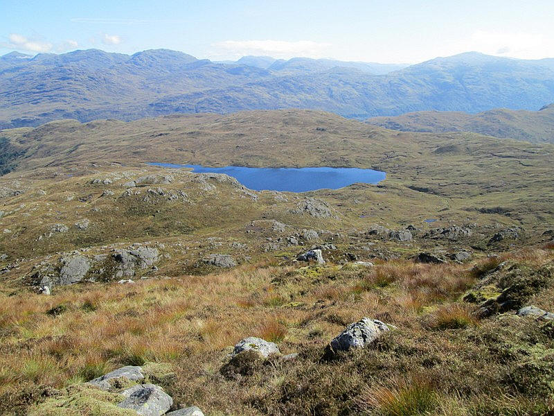
Looking down to Lochan Beinn Damhain.
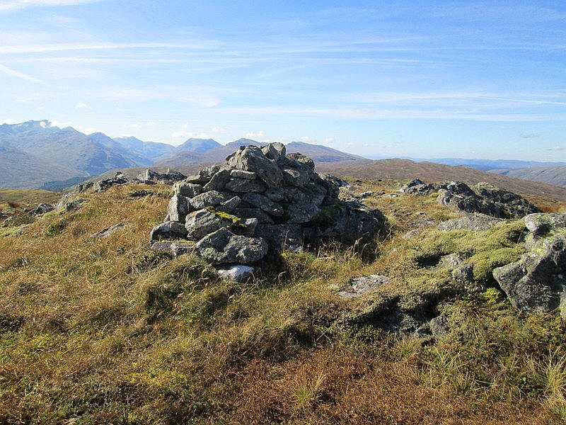
The summit cairn - it had me just over 3 hours from Inverarnan, about half an hour longer than expected largely because of the route finding problems near the start of the walk where progress was very slow.
The panoramic diagrams and photos below show just how extensive the views from this hill are with only the hills directly North being blocked by the neighbouring Corbett Meall an Fhudair.
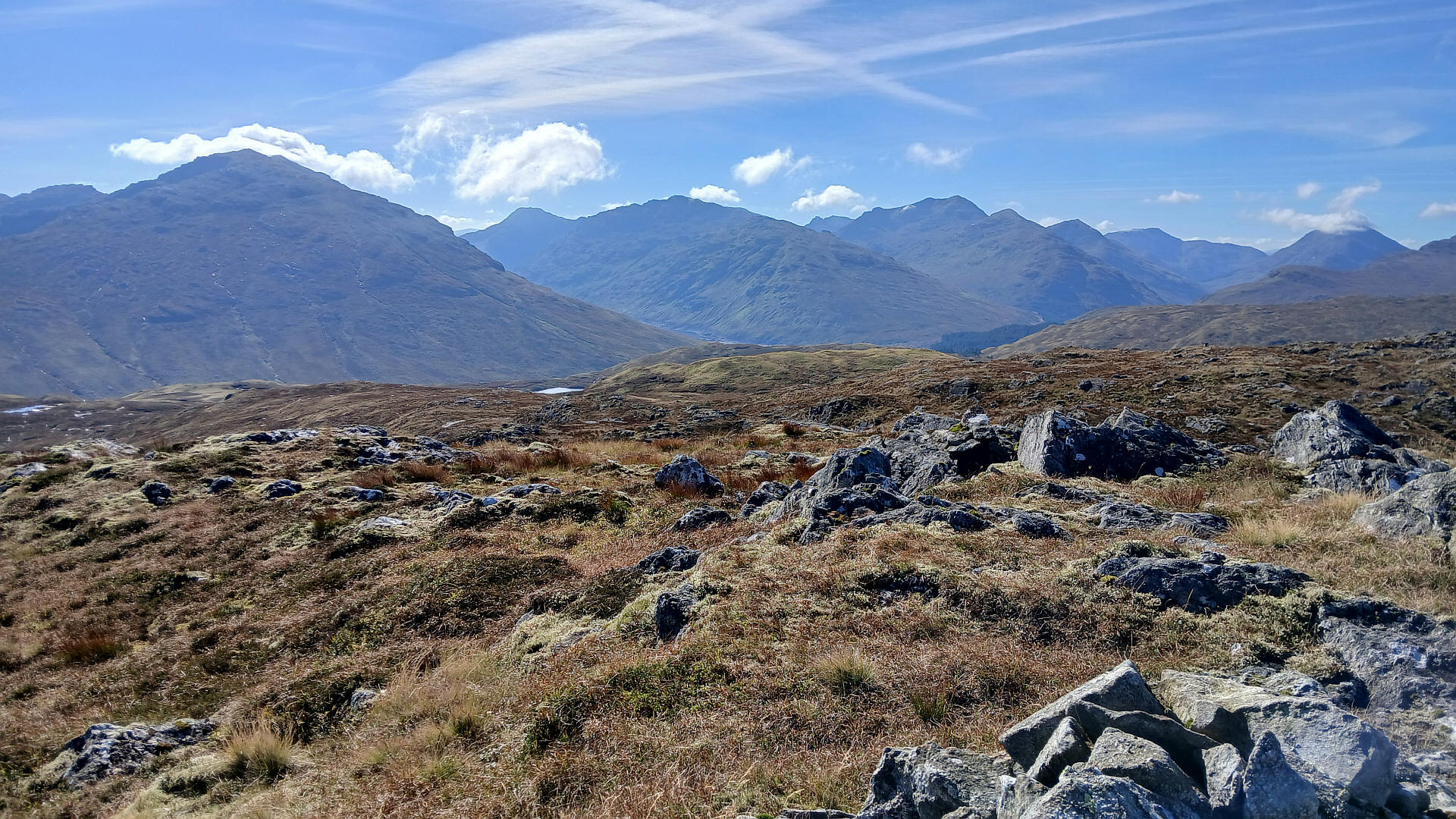
Below: Looking north east
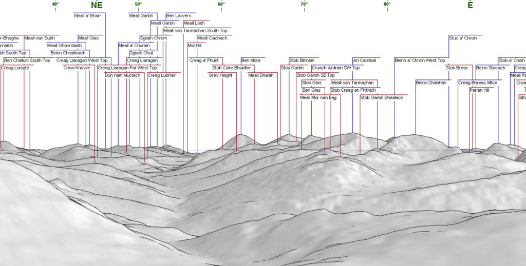
CLICK ON THE PHOTO TO ENLAGE IT
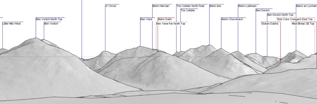
Below: looking west
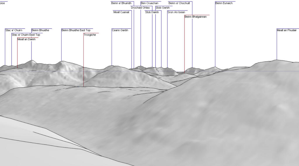
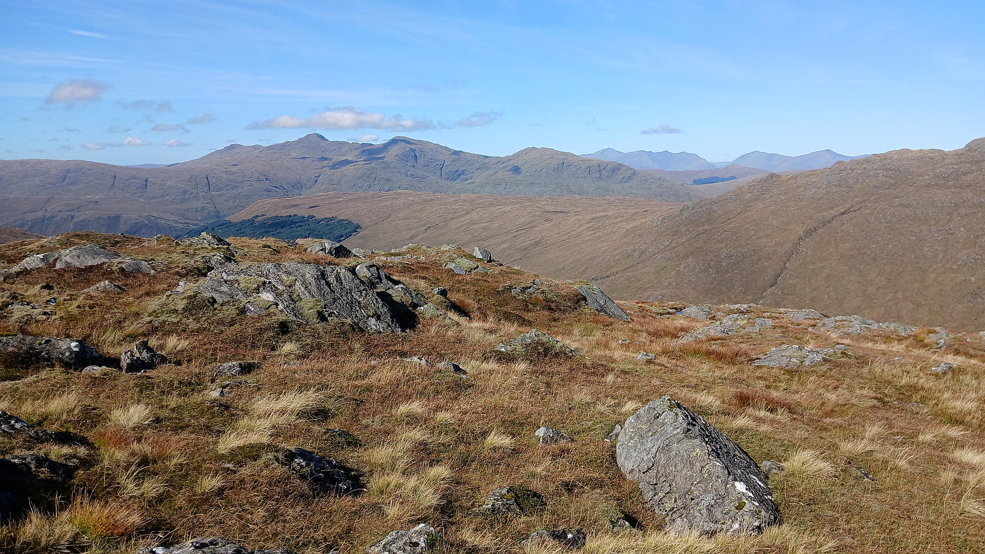
CLICK ON THE PHOTO TO ENLAGE IT.
Below: Looking south
CLICK ON THE PHOTO TO ENLAGE IT.
Below: Looking east
CLICK ON THE PHOTO TO ENLAGE IT.
I decided to return to the stream a slightly different way by dropping down to the east towards the lochan.
I then headed towards the outflow stream from the lochan.
A last look back at the summit....
....and then a very rough walk back by the stream to the hydro road.
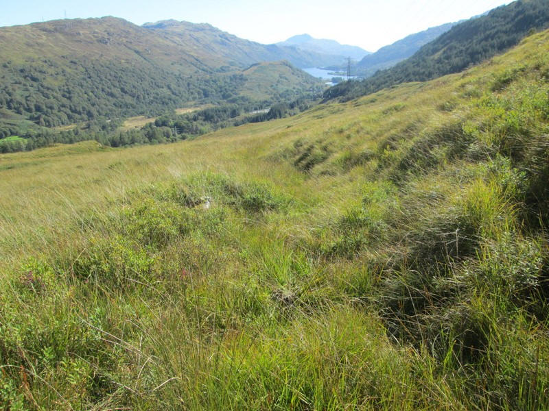
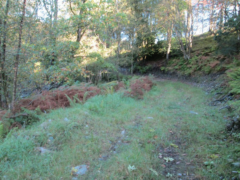
Back on the "track" to Inverarnan the overgrown nature of this is obvious ......
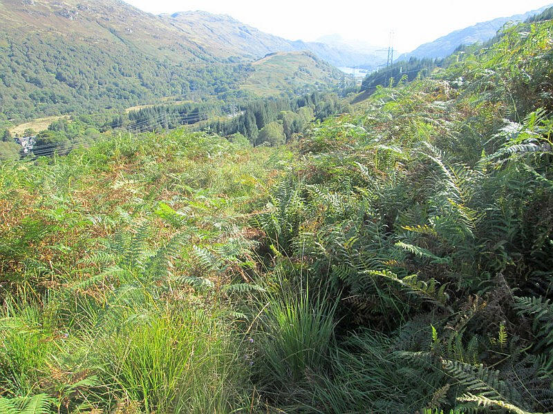
...whilst the last few hundred metres are even worse with it being covered in dense bracken. Time to check I hadn't collected any ticks...
I walked this path in May 2022 when the vegetation was not as much of a problem - the end of summer is probably not the best time to walk here!
The walk had taken 6 hours with only one very short break to eat my lunch.