Beinn Mheadhoin
Click on the square in the top left hand corner to see a larger map.
For the third of my walks in August 2017 I chose one of the Cairngorm hills that needs a long walk in.
From Linn of Dee most guide books suggest about 5 hours to the summit of Beinn Mheadhoin so I was pleased to need only another 15 minutes. The return walk took about 4 hours 30 minutes. Both times included several short breaks, whilst I had a break at the summit of about 15 minutes for a slightly late lunch
The walk starts with the now familiar hour long walk from Linn of Dee to Derry Lodge.
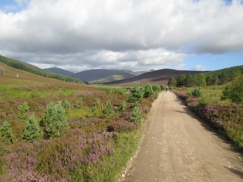
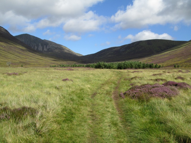
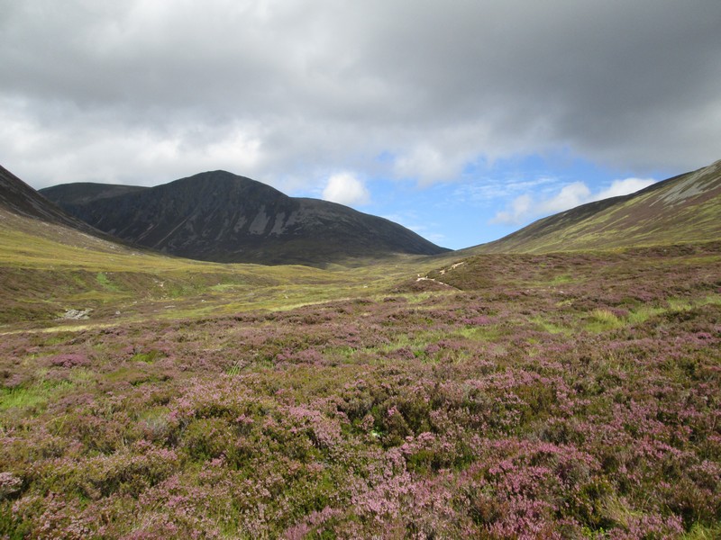
It was a pleasant morning and Carn a' Mhaim on the left forms a good backdrop to the start of this walk.
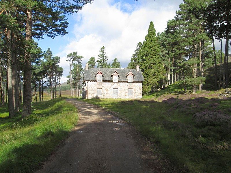
Planning notices at the lodge suggest that it will be converted to a hostel.
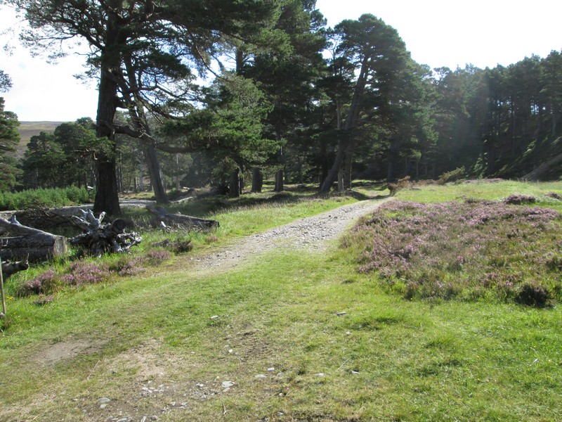
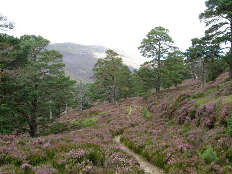
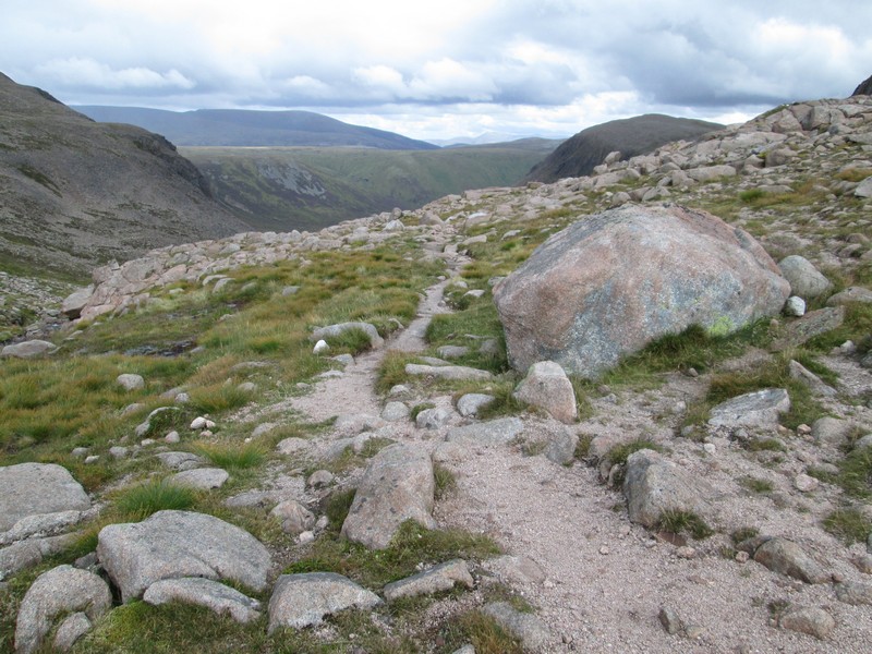
Beyond the lodge the path stays on the east side of the Derry Burn...
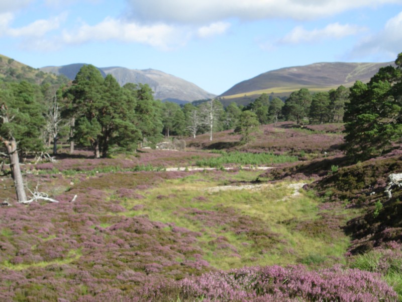
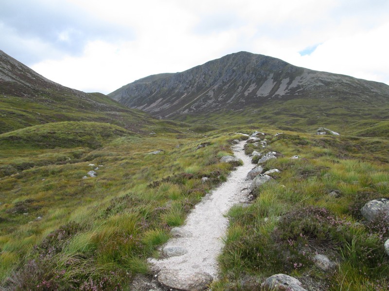
...and almost immediately there is a good view of Beinn Mheadhoin straight ahead in the distance.
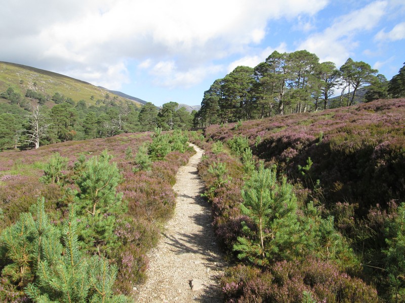
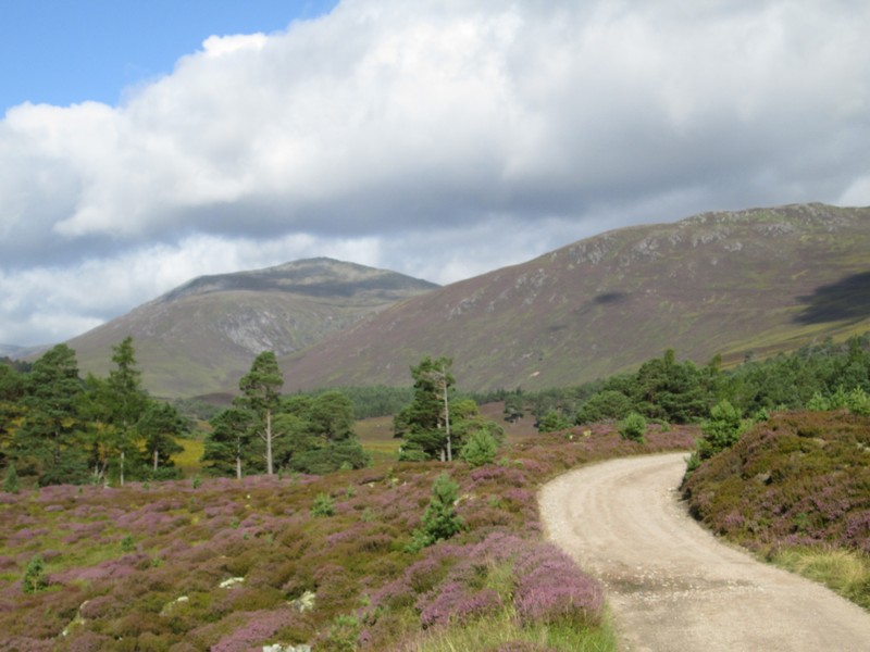
The path is beautiful maintained and progress can be rapid if needed.
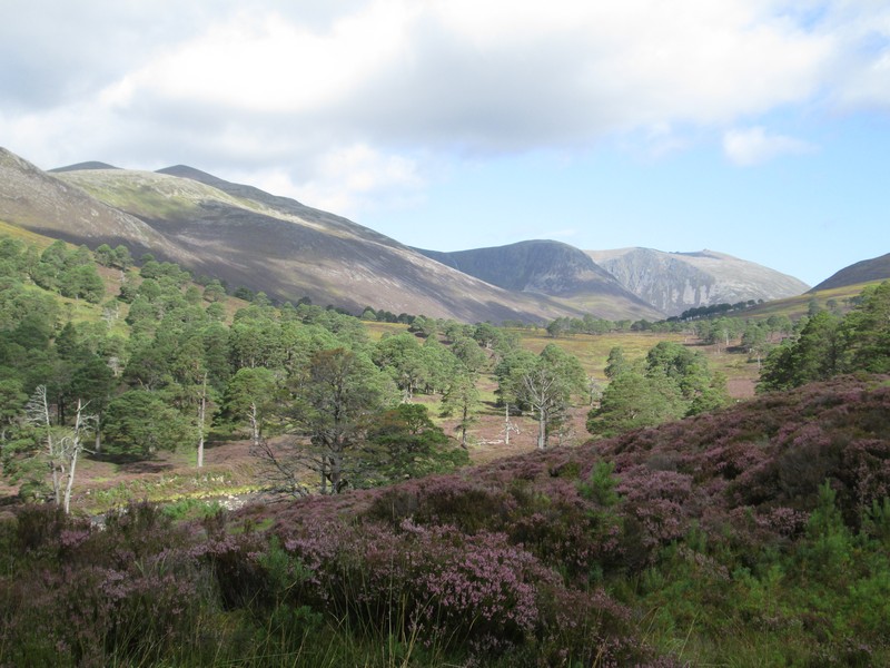
Over to the left is Derry Cairngorm, the hill on which I had to sit out a thunderstorm in 2016.
Over to the north-west is the enormous corrie of Coire na Lochain Uaine with its waterfall that plunges into Lochain Uaine. Obviously the waters of this lochan aren't visible from down in the valley but I could see it from Beinn a'Bhuird the next day.
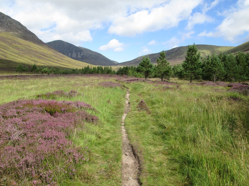
This delightful path continues through woodland and past...
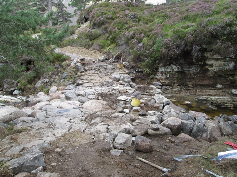
....one of several sites where the path is being rebuilt following the disastrous floods a few years ago.
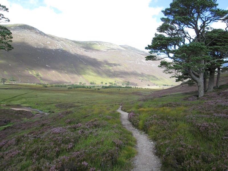
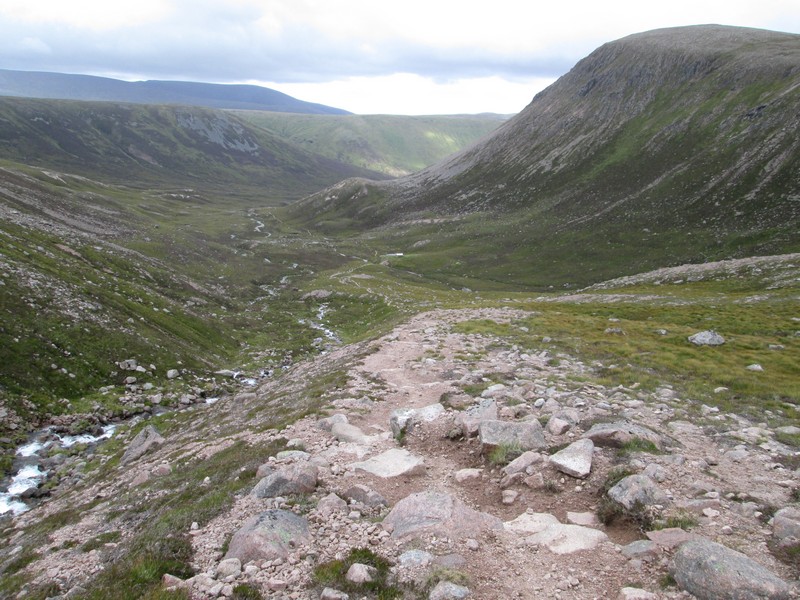
The path now dips down to the glen floor...
.....and heads directly towards the pass at Lairig an Laoigh.
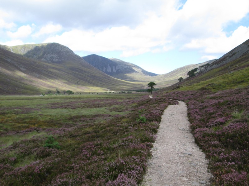
Shortly before reaching a small wooded area the path becomes less distinct as it crosses what I presume was former farmland around some shielings.
Onwards towards the trees....
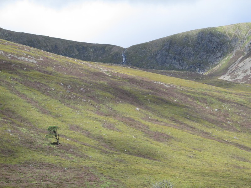
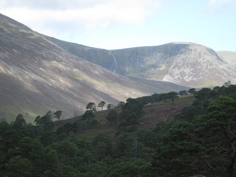
...and off the left is another close up shot of the waterfall plunging off Derry Cairngorm. Notice that lone tree on the hillside.
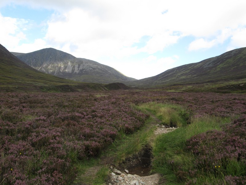
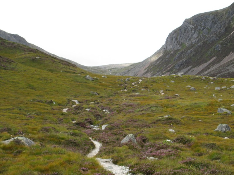
The track now becomes much rougher....
...as it climbs across the heather moorland.
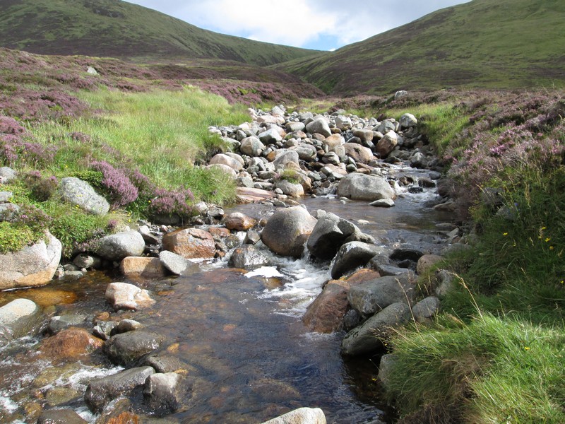
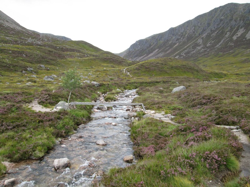
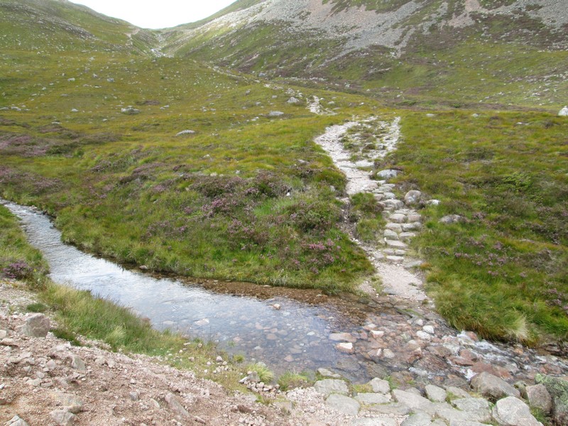
There's a ford to cross but plenty of stones allow an easy passage although when in spate this is apparently often a "show stopper" on this walk.
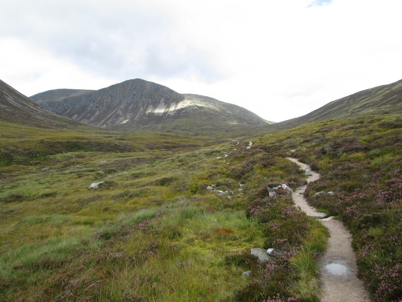
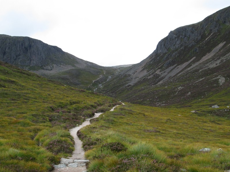
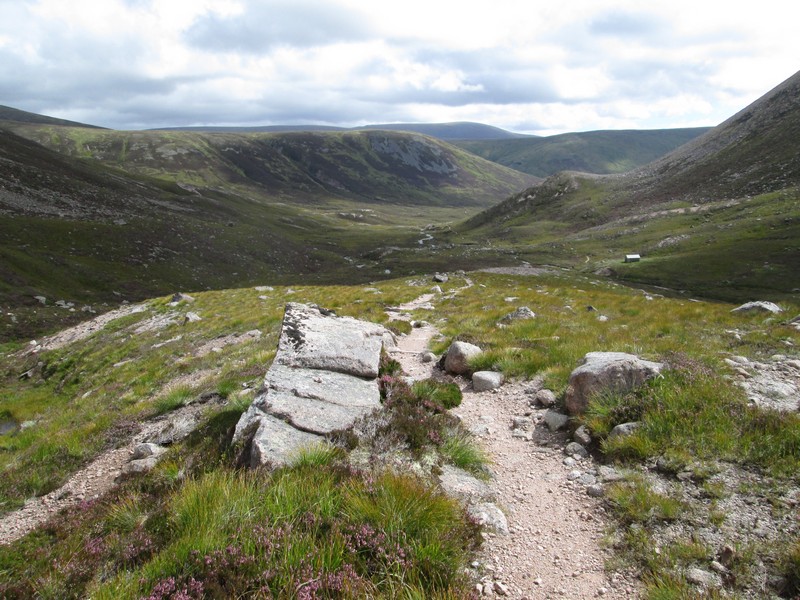
The path now starts to climb...
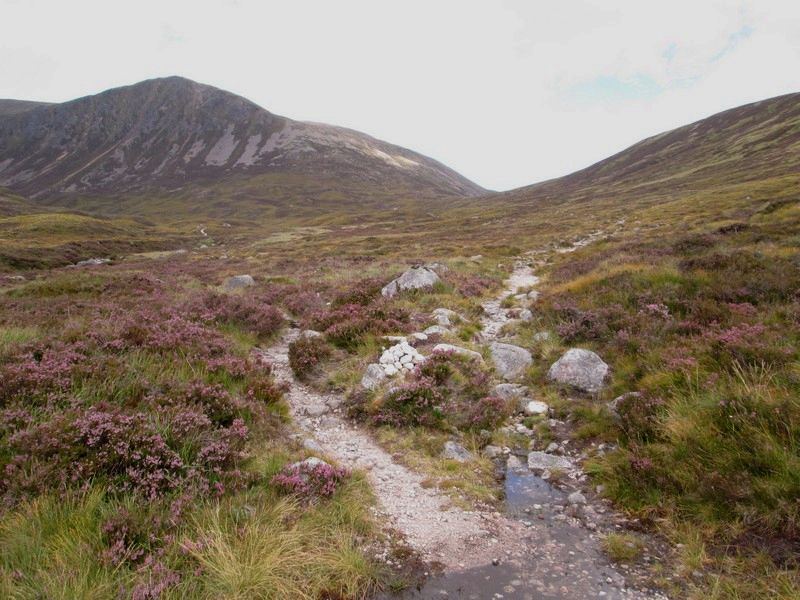
...to a path junction. The route to the Lairig and on towards Glen More and Aviemore goes straight ahead...
...but the path to the hills branches off to the left..
...and crosses over the Coire Etchachan Burn on a bridge.
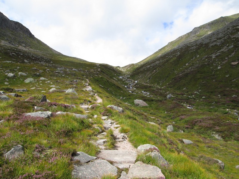
The path now starts to climb up into Coire Etchachan....
...and into a world that feels almost alpine.
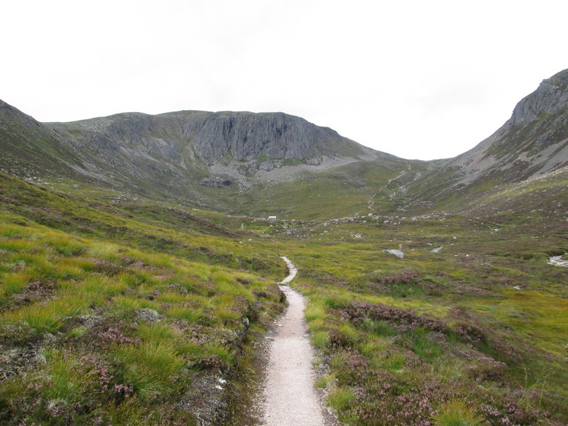
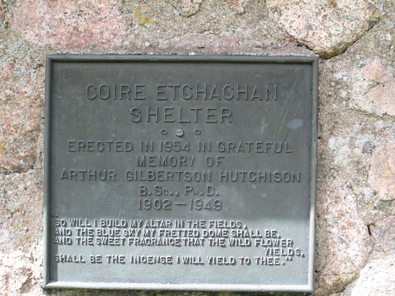
Straight ahead is the Hutchinson Memorial Hut.
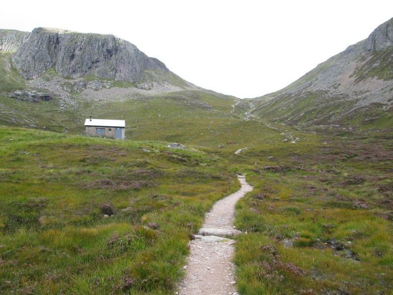
Its position under the cliffs reminds me of some of the mountain huts in Switzerland and Austria.
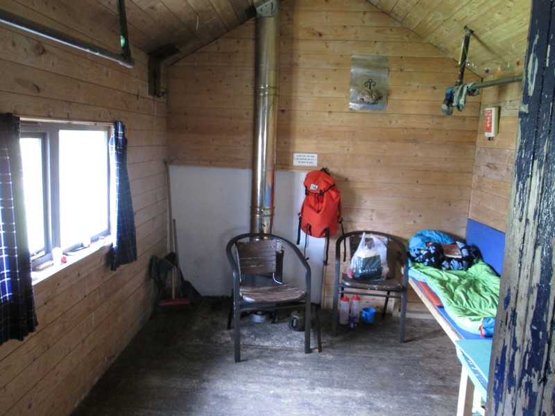
Clearly somebody has bagged the two sleeping benches already. Anybody else is going to have to sleep on the floor. I'd earlier met two Irish hikers who had camped outside the hut as it was full.
The path crosses a burn and climbs surprisingly easily towards the bealach.
Looking back down Coire Etchachan.
The path climbs just over 225 metres from the hut to the bealach..
...and it's only near the top where the going gets a little rougher.
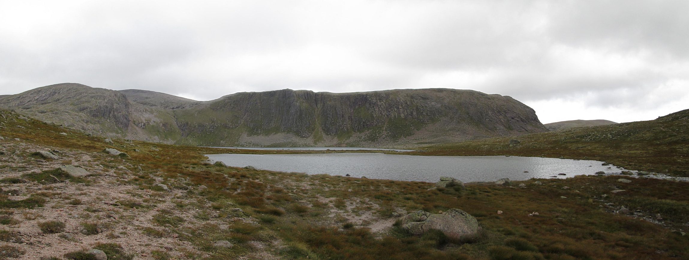
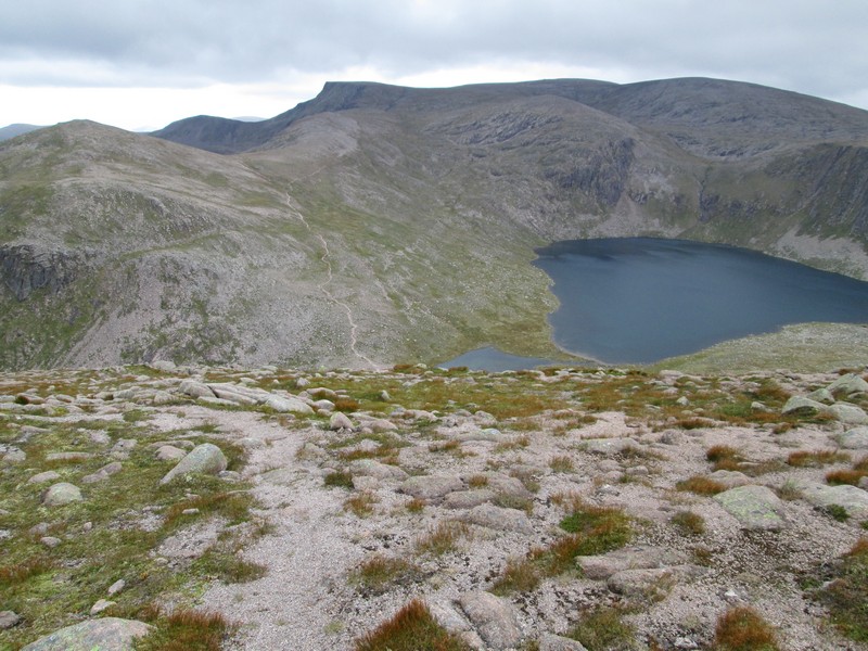
The view that opens up of the two lochs is worth the effort of the last 4 hours. There are two separate areas of water. The nearest is Little Loch Etchachan and beyond is the much larger Loch Etchachan. Click on the photo to see a larger image and then click on that to see it full size.
The path to Beinn Mheadhoin starts across the stream flowing out of the lochs and zig zags steeply uphill. The path to the left drops down towards Loch Avon and eventually climbs back up to Cairngorm.
I'd seen only two walkers since leaving Derry Lodge but ahead of me was a young man who'd come over Cairngorm from the Coire Cas car park.

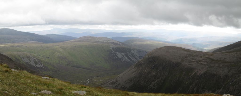
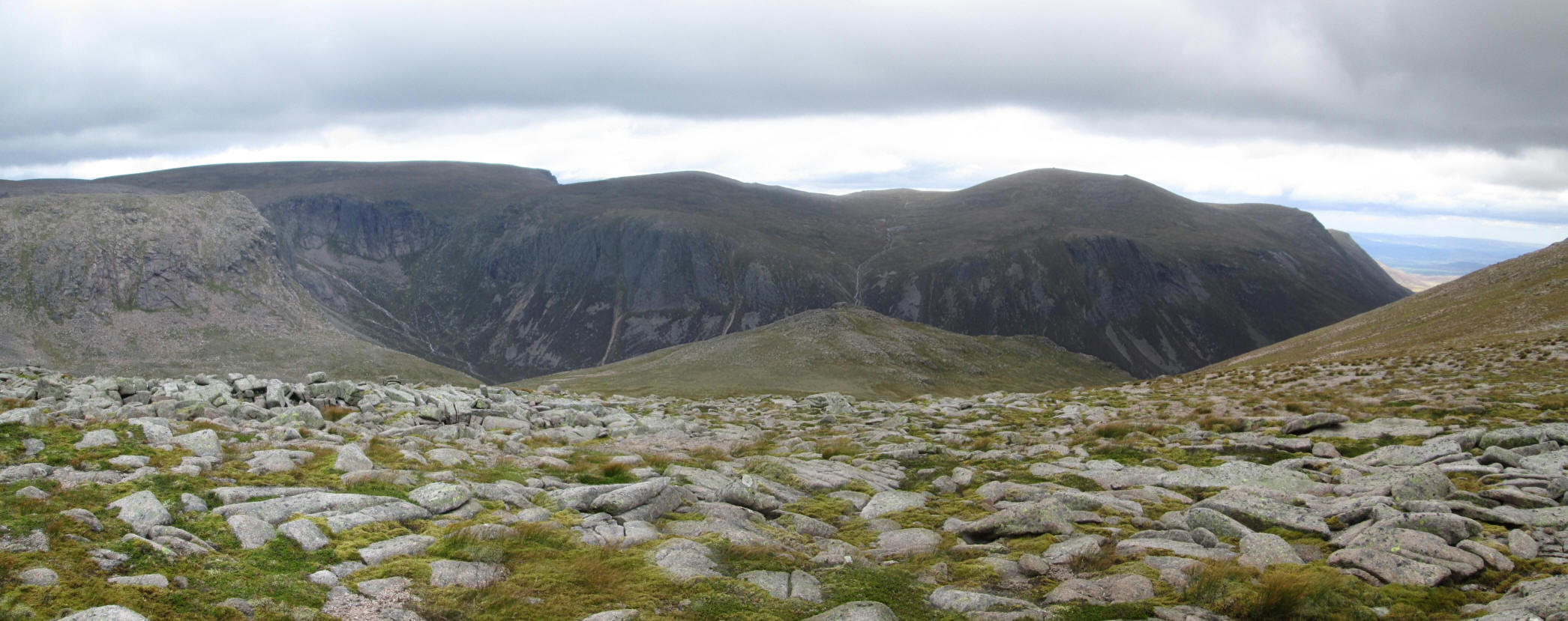
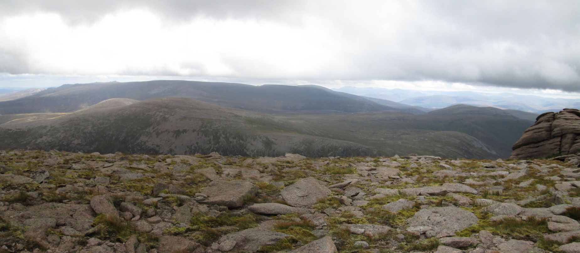
Looking back downhill this magnificent panorama gives an excuse to stop, look and have a brief rest during the steep climb. There are five photos stitched together to make this panorama. From left to right the summits of Derry Cairngorm, Ben Macdui and on the far right Cairngorm.
Click on the photo to see a larger image and then click on that to see it full size.
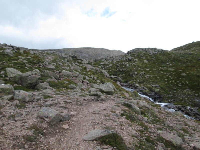
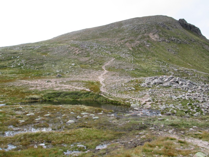
Eventually the steep - 200 metres in about 1 km or 1 in 5 - and often heavily eroded section comes to an end and the track threads its way through boulders
This panoramic photo is looking down to the way I'd come up from Glen Derry and into Coire Etchachan.
Just before Loch Etchachan disappears from sight this photo gives a good impression of how steep the path up the hill is. In the distance are the cliffs at the eastern end of Ben Macdui.
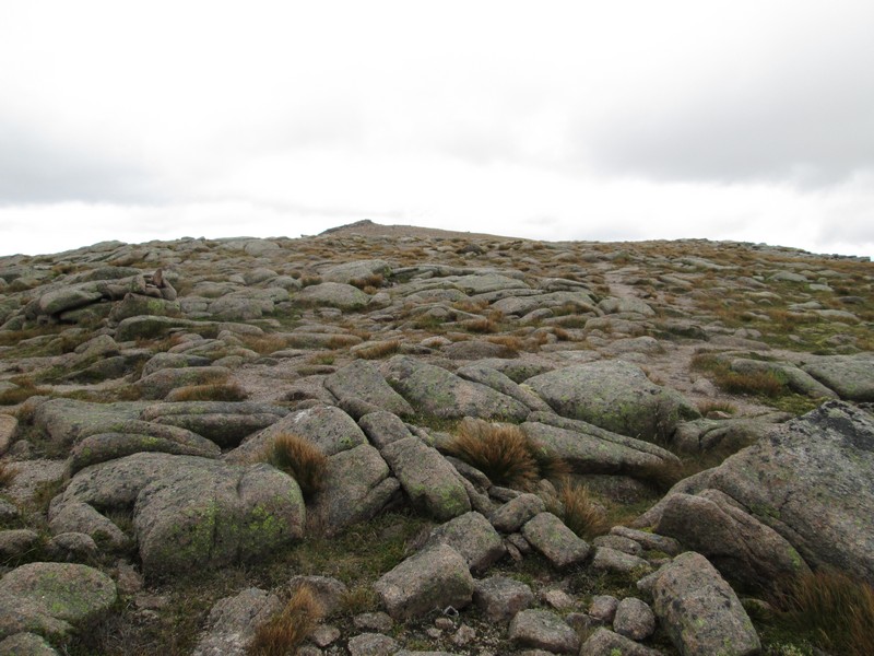
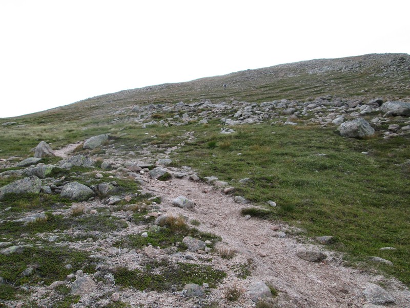
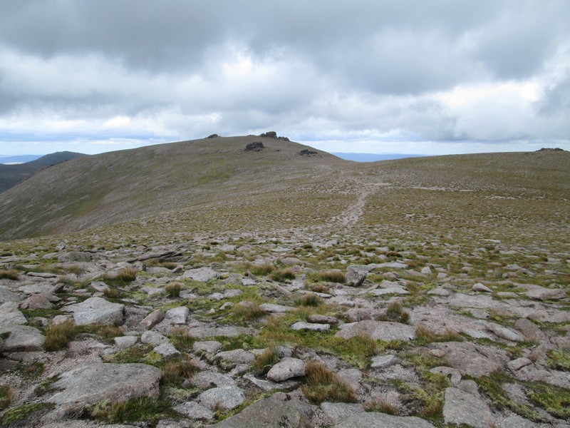
The typical Cairngorm plateau landscape of thin soils, patchy grass and stones stretches ahead...
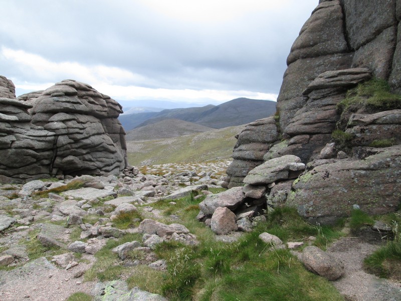
....and the first of the tors known as the Barns of Beinn Mheadhoin can be seen.
Over to the north-west, beyond Glen Avon, is the sprawling mass of Cairngorm. Click on the image for a larger photo.
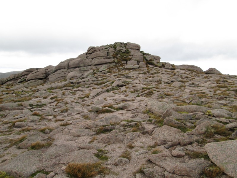
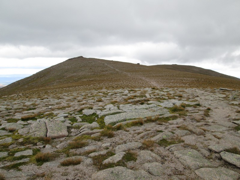
The first of the Barns of Beinn Mheadhoin tops the rise.
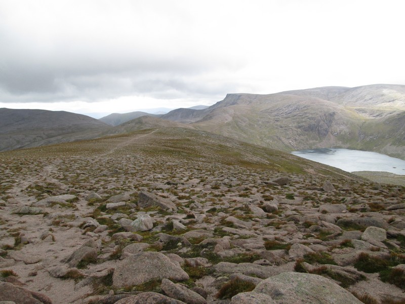
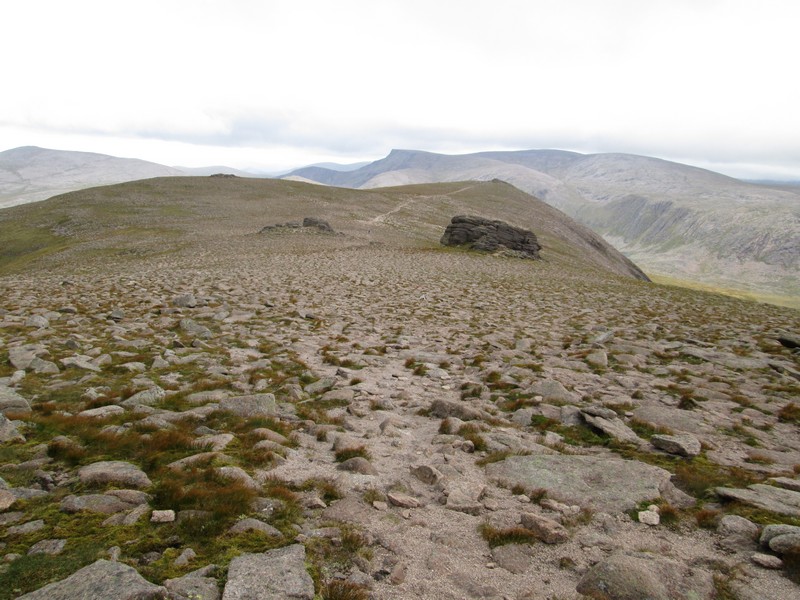
Looking back along the ridge path with Loch Etchachan over to the right.
A view looking down Glen Avon towards the north-east.
The summit is in site across a slight dip...
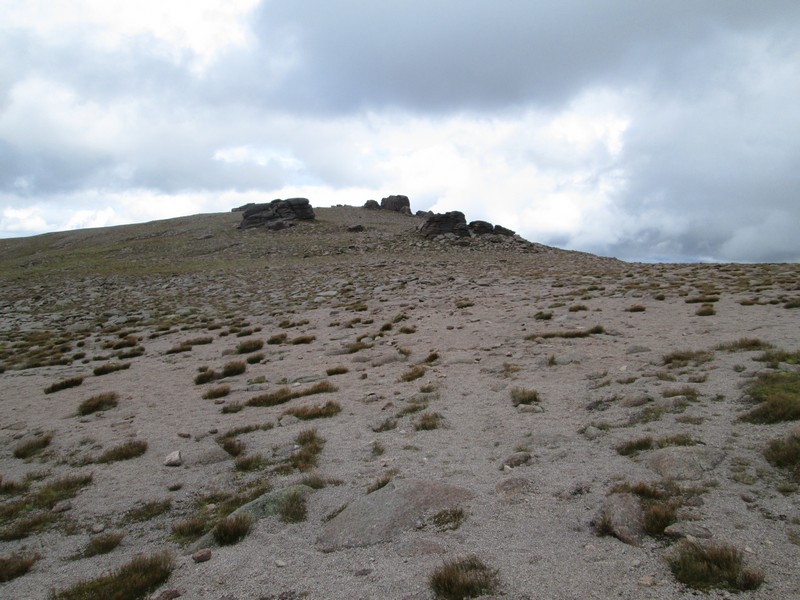
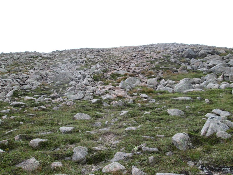
...and as the cluster of tors is approached the ground under foot turns into heavily eroded gravel.
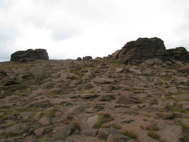
More tors - as somebody wrote elsewhere, "All that we need now is cinema music and a cowboy riding into the scene."
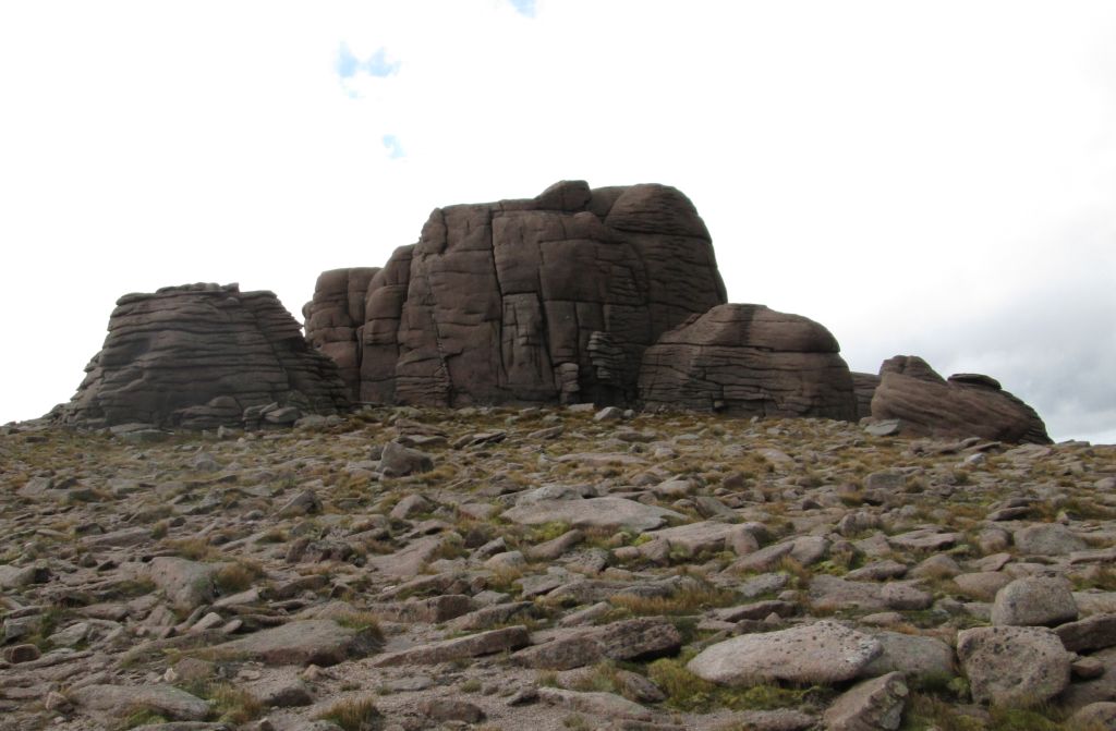
The summit tor (1182m) is climbable from the back - it's probably about 60 feet up but I'm on my own, it's very windy and I am not in the mood for heroics, so I'm happy to shelter out of the wind and not attempt to scramble up and down.
Derry Cairngorm seen between the tors at the summit.
Looking eastwards in the distance the long ridge of Beinn a'Bhuird dominates this photo, whilst in the foreground are Beinn a'Chaorainn and Beinn Bhreac.
By now the wind was becoming much stronger and I was glad I'd brought my winter jacket and waterproof trousers.
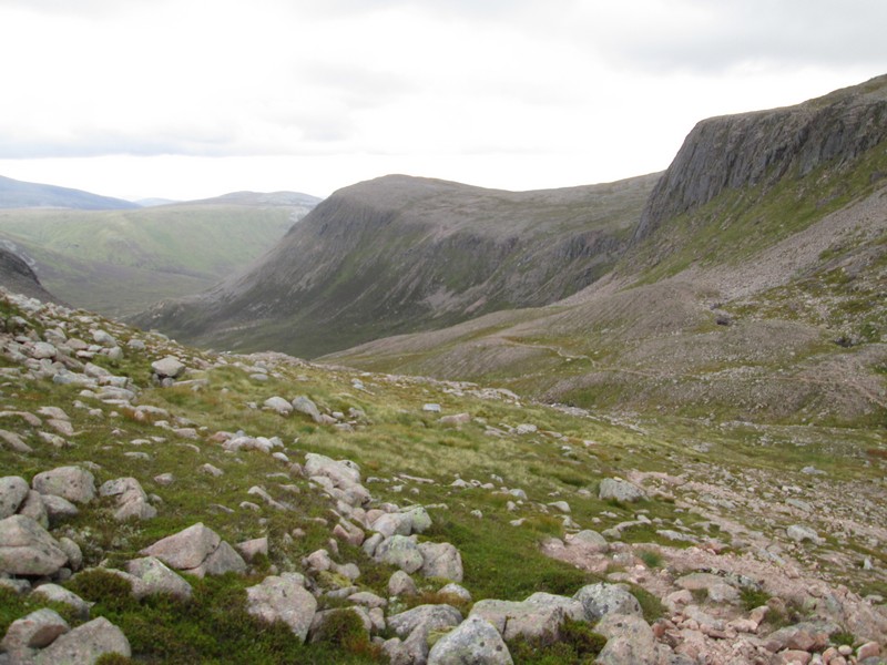
On the way downhill the path down into Coire Etchachan can be seen beneath the cliffs of Creagan a'Choire Etchachan.
Down at the bealach the path starts near this boulder...
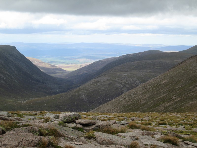
...and it's down into Glen Derry and only another 8 miles back to Linn of Dee!!
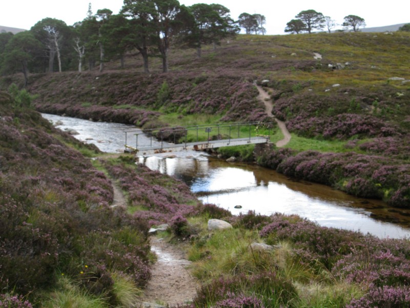
In summer 2017 there were warning notices about the closure of the footbridge over the Derry Burn NO 040958. The bridge is still standing but it looks as though the bridge supports have been damaged during the floods.
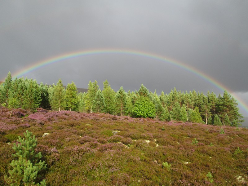
On the way back from Derry Lodge I was treated to a superb 180 degree rainbow..
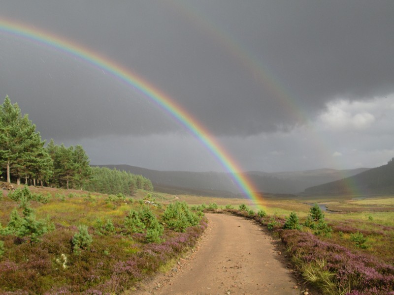
...as well as this vivid double rainbow.
Having left Linn of Dee 08:50 I was back at 19:00 after a superb walk of 32km.