Beinn Sgulaird
(well not quite)
Update August 2015:
The map can be resized or dragged with your mouse
Beinn Sgulaird and I seem not to get on, and for the second time I haven't reached the top. After not managing to climb the hill in September 2014, when I was using the bus to reach Creagan, a return visit found me using a car to get to the normal start of the walk at Druimvuic. Click here to see the 2014 report. Otherwise continue reading this account of my 2015 visit.
The layby at Druimvuic has space for about 5 or 6 cars.
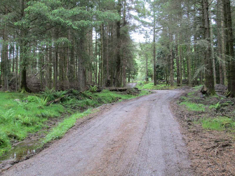
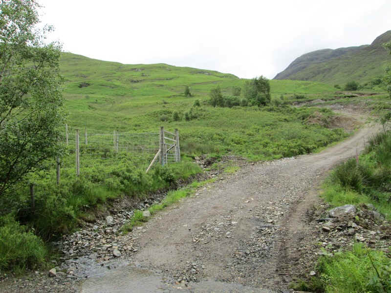
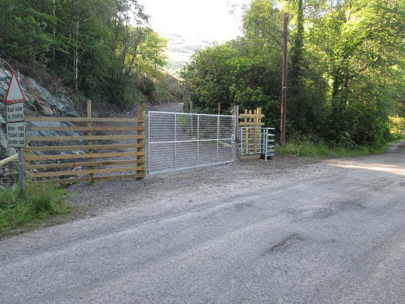
There's now a new deer fence across the vehicle track that goes up the glen
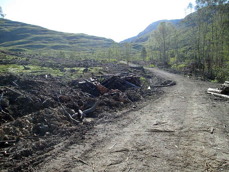
The vehicle track seems ot have been rebuilt for access to what I think is a small dam.
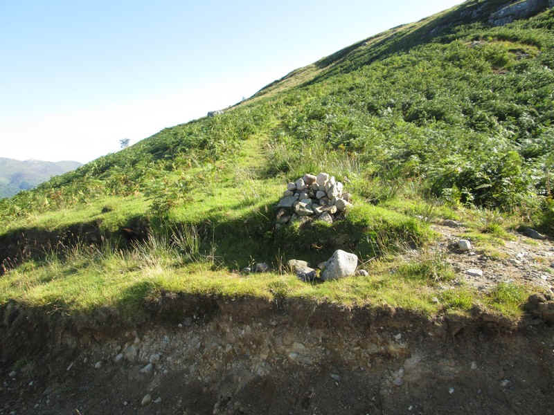
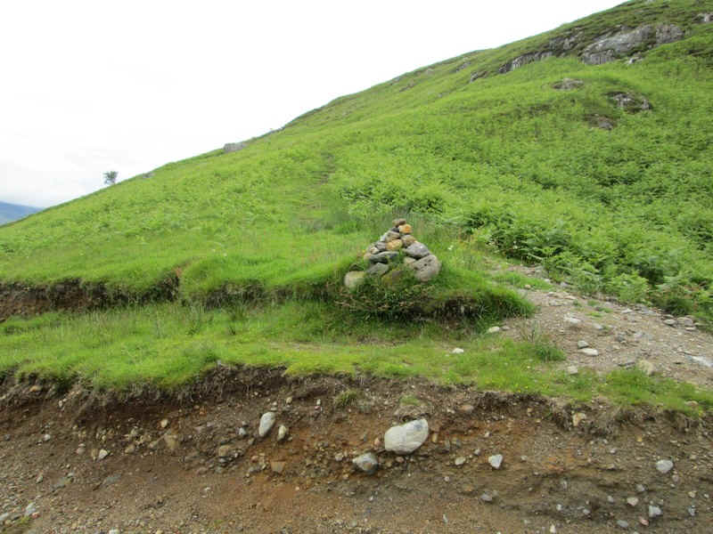
There's a cairn on the left where the hill path leaves the road.
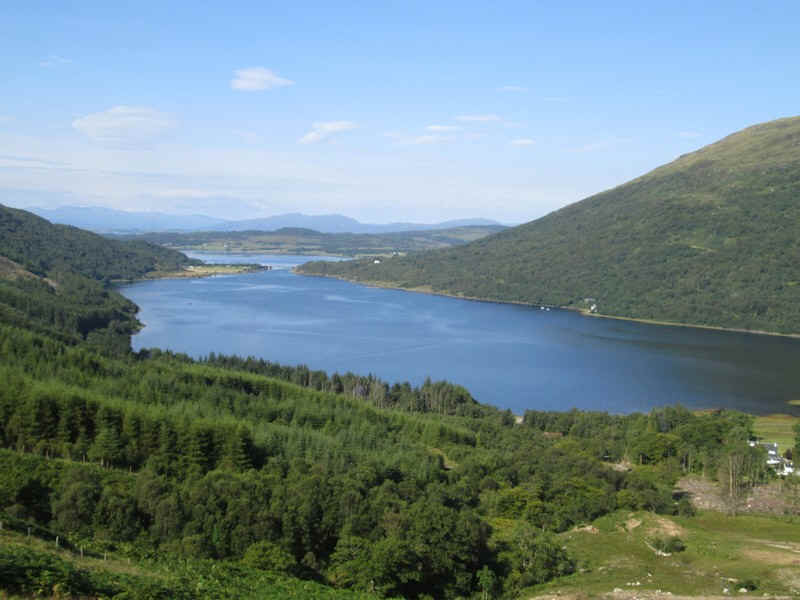
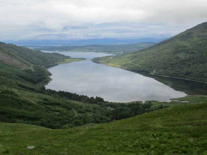
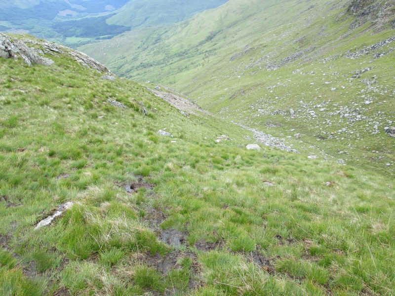
Superb views back over Loch Creran.
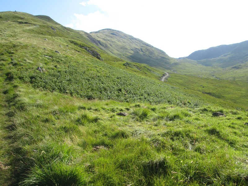
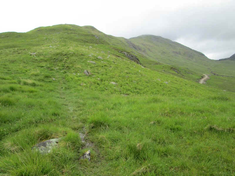
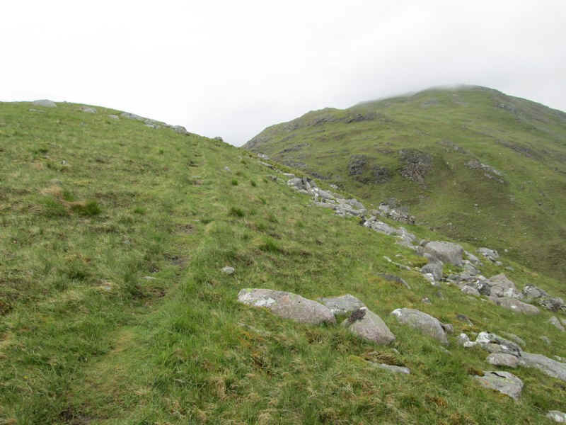
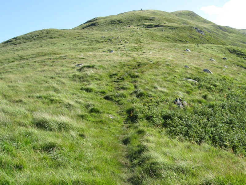
The path leads uphill towards Meall Garbh.
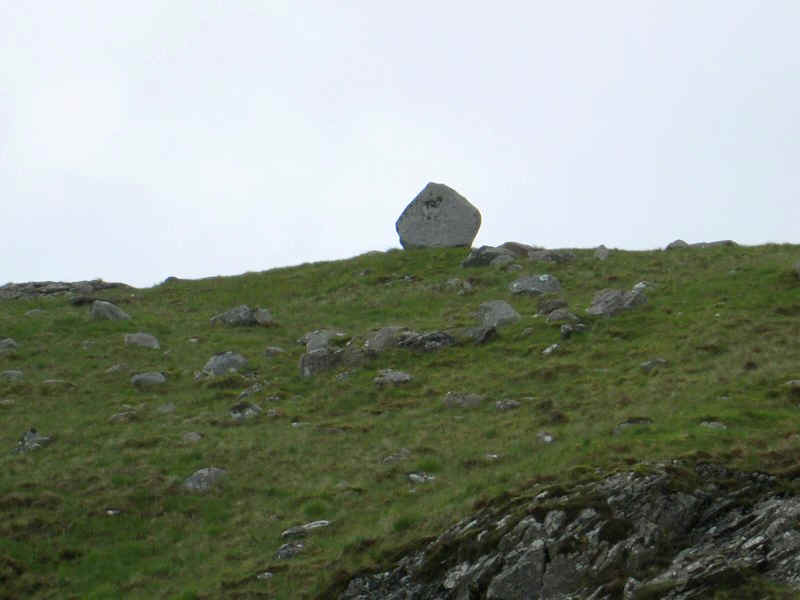
There's a curious eratic (shaped like the end of a houes) on the ridge.
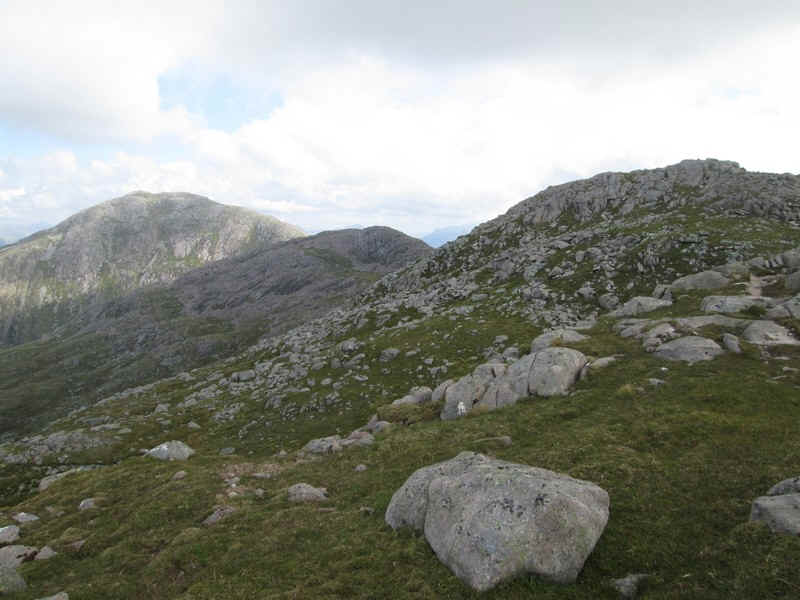
Over to the north east is Beinn Fhionnlaidh (959m) which I planned to walk the next day.
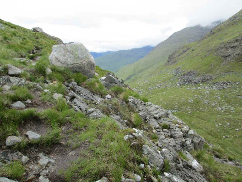
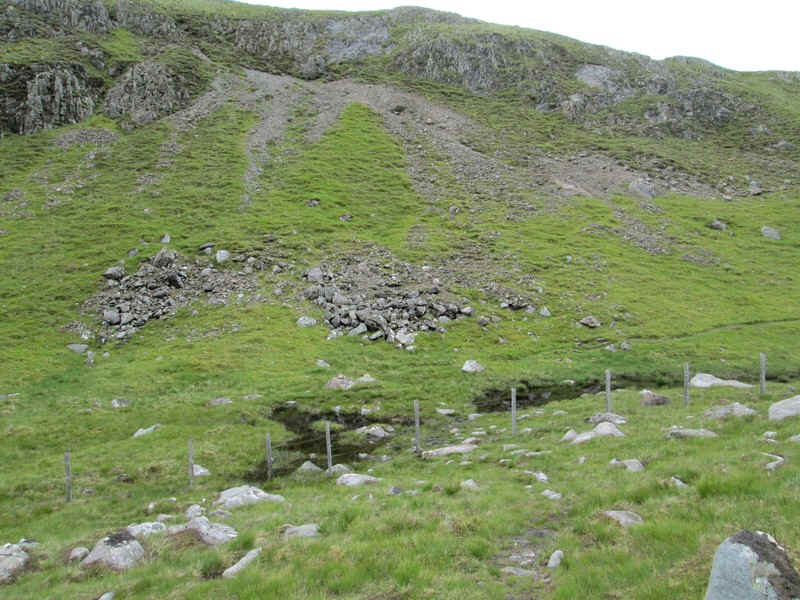
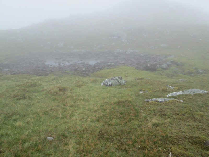
The path now drops down into a col at the head of Coire Bliochdaig
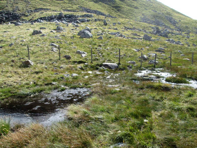
There is no stile across the wire fence near the pools but several of the lower strands have been removed to make it obvious where to cross.
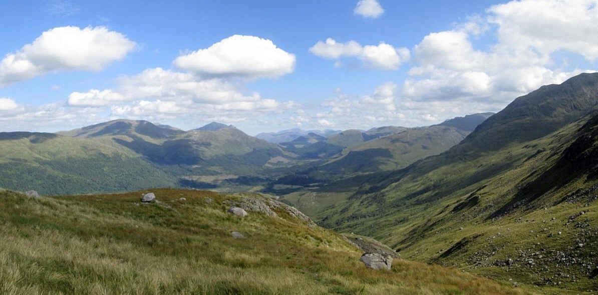
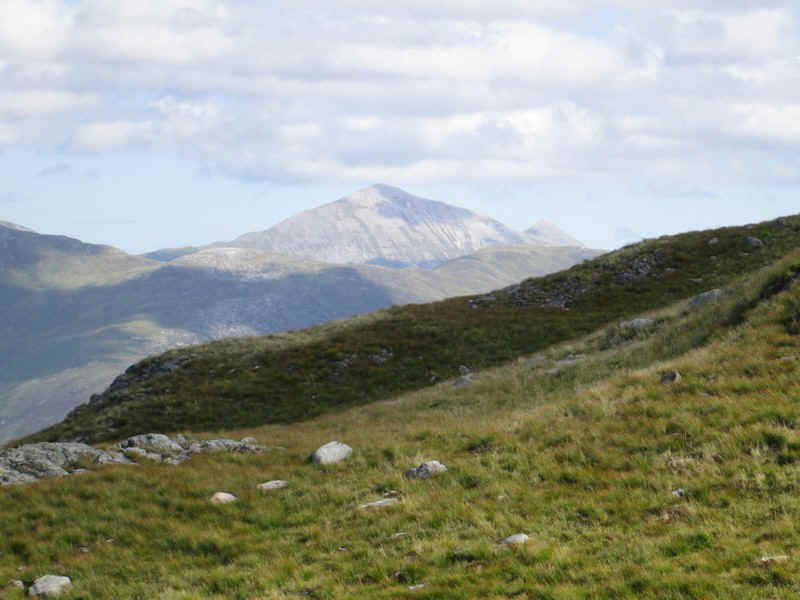
Looking north east up Glen Creran with Ben Nevis visible in the centre of the photograph about 18 miles away. The Ballachulish Munros are on the left.
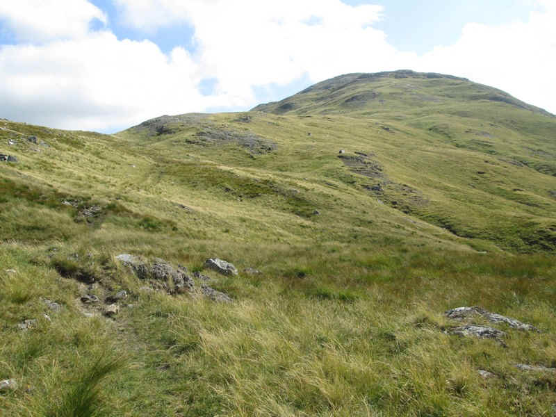
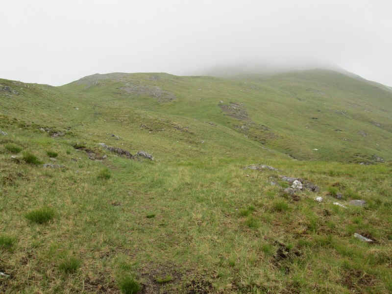
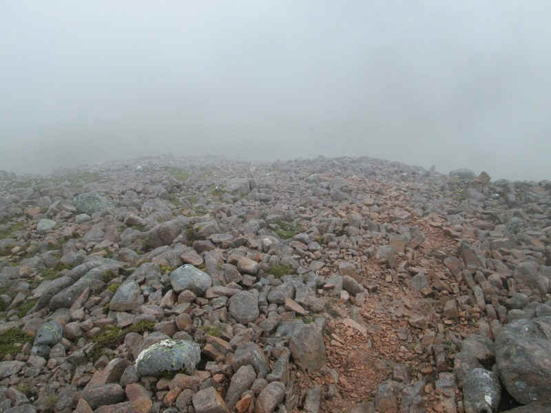
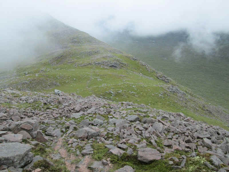
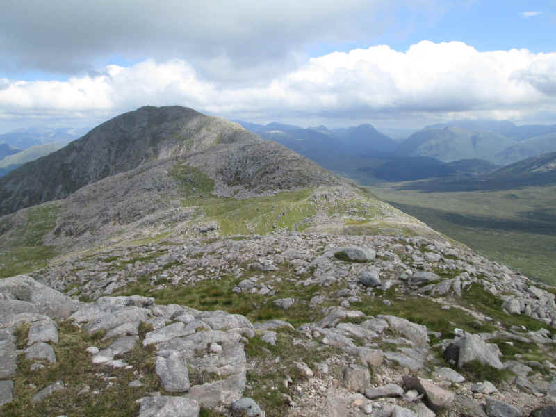
The path continues clearly uphill towards the 863m summit of Meall Garbh.
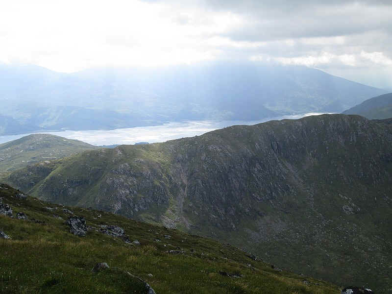
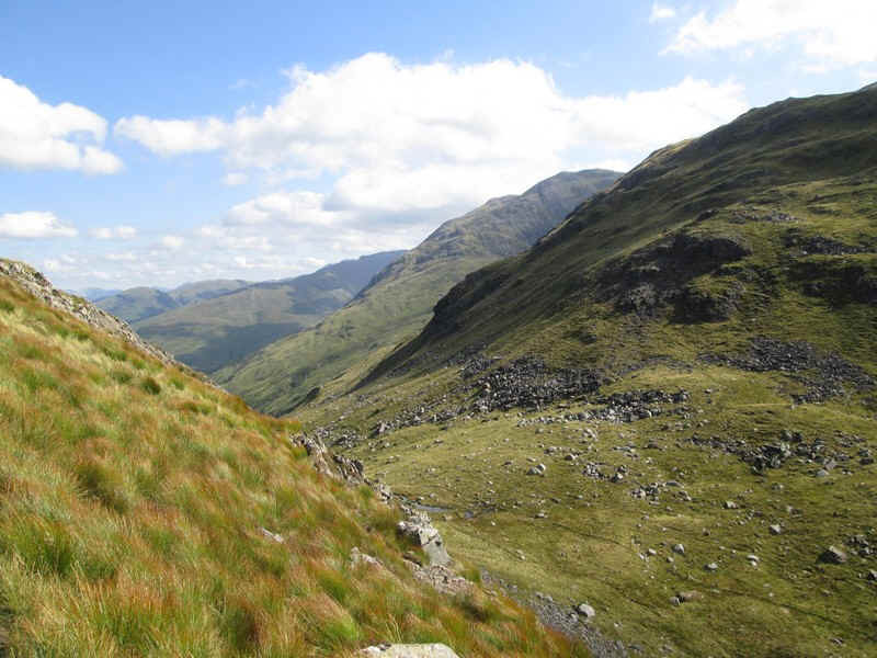
By this stage of the walk I was finding it difficult to make a lot of progress as the wind had been steadily increasing and heavy rain clouds were building up to the west. This view shows Loch Etive across to the west.
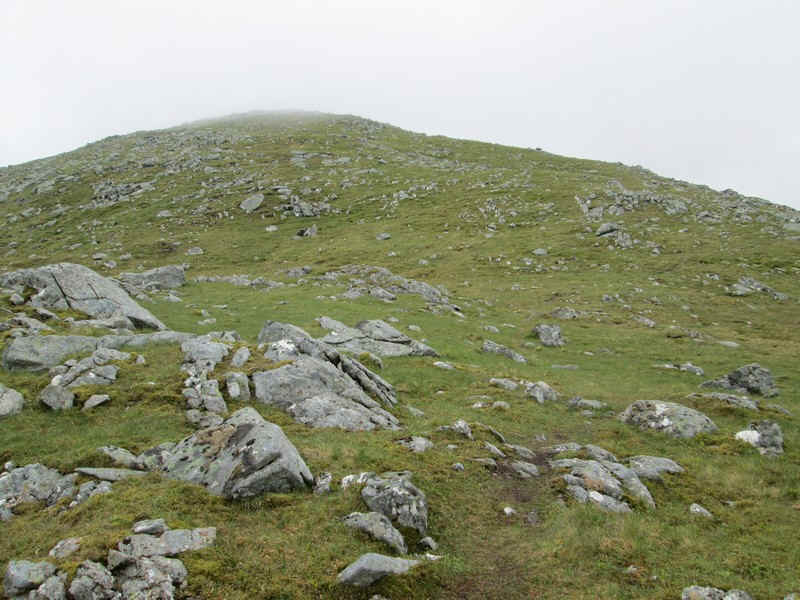
The summit of Beinn Sgulaird appears just before reaching Meall Garbh.
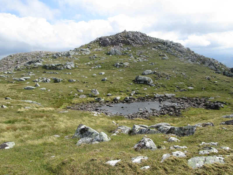
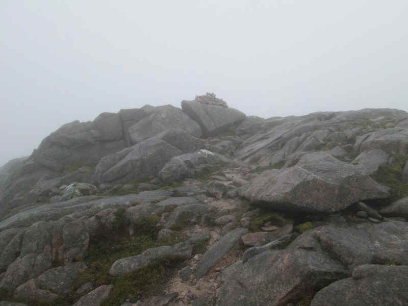
There are two small pools just before the cairn on Meall Garbh.
Although the photos don't suggest it, by now the wind was making progress difficult and storm clouds were building behind me so I decided that this was as far as I was going. The MWIS weather forecast had referred to 40-50mph gusts and "wind will impede mobility" so I wasn't too surprised to have to turn back.
My decision was the correct one as shortly afterwards the gusts increased in significantly in speed and several times I had to stop and use my trekking poles to maintain my balance. Walking on my own means I don't take risks in conditions such as this.
Whilst it was disappointing not to reach the summit at least this time I'd seen the summit and had a good day's walk.
The plan for this day was to take the Citylink bus from Oban to
Creagan Bridge, and then walk along the old main road to the usual starting
point to climb Beinn Sgulaird at Druimvaric. I'd then the climb the hill, head
back to the Creagan Inn for a meal and then take the bus back to Oban in the
evening.
Unfortunately, I didn't reach the summit as the hill walk took
longer than expected. I think I was a little tired after three hard day's
walking, the hills were covered in thick mist and the path wasn't at all clear
in places as well as being rough. All of these factors combined to make me run
out of time, so I had to turn back about one kilometre from the summit.
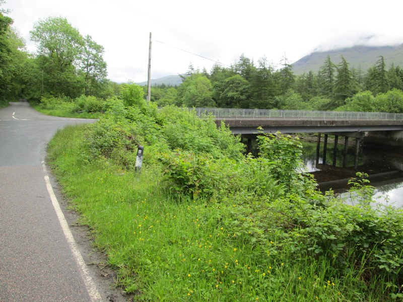
The bus stop is just across the Creagan Bridge
where I started at 9.15. This used to be the old Connell Ferry to
Ballachulish railway but the old bridge was pulled down and a new road bridge
constructed in 1999, partly supported on the pillars of the railway bridge. This
dramatically shortened road journeys as the old route around Loch Creran was no
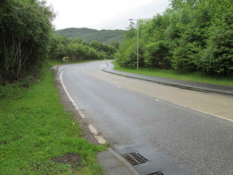
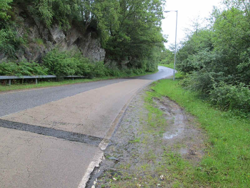
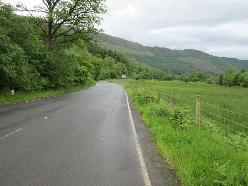
longer needed. The first part of the walk follows the old main
road which now carries virtually no traffic The road begins to drop down to the loch with
the slopes of Beinn Sgulaird beyond. Loch Creran and a sight I didn't want - low
cloud. The way up the hill goes up through the trees and then along the ridge of
Meall Garbh that slopes diagonally across the centre of the photo. The summit of
Beinn Sgulaird is out of sight under the cloud on the far left of the photo. The old road turns sharply across a bridge at
the head of the loch... ......and crosses the River Crearn.... ....before turning to follow the opposite side
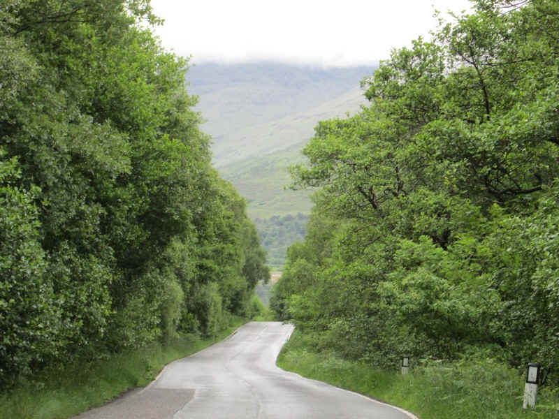
of the loch. I reached the forestry road just before
Druimvuic exactly on schedule at 1025 and turned off.... ...up through the woods... ...to reach the open hillside at the bottom of
Coire Buidhe. There is a substantial cairn and a clear start
to the path..... ...with the track heading straight up the ridge
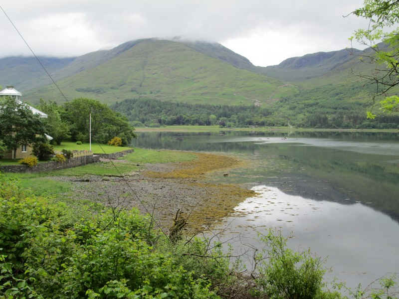
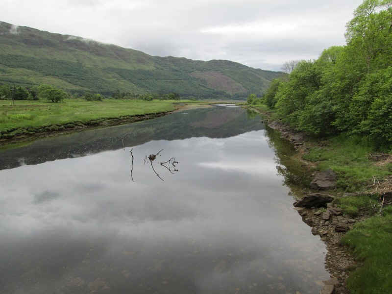
towards Meall Garbh. Looking back over the still waters of Loch
Creran with Creagan Bridge across the narrows. There's a most unusual stone visible all the
way up the first part of the ridge that looks like the end of a house. The path comes to a deep gully across the
ridge.... ...and the path runs along the top of the crags
before.... ....dropping down hill and then doubling
back... .....to reach a fence (surprisingly with no
stile) near some pools of water. By this stage I was running 20 minutes later
than expected, presumably as my energy levels were low. The wire fence has
been opened up a little (by walkers I suspect) to allow easier passage. The view ahead wasn't exactly inspiring and
there was a long tramp across the hillside... ...with the ground becoming rockier. At about NN 042 448 there is a pool marked on
the map which gave me a pretty firm location - I was now 40 minutes late on my
time estimates. From here onwards the ground gets more
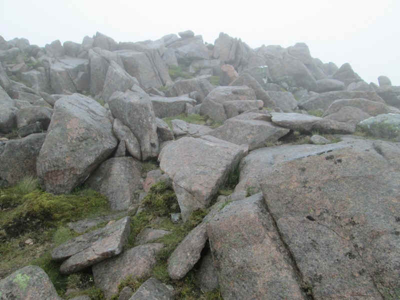
difficult and the path harder to follow with lots of boulders and numerous small
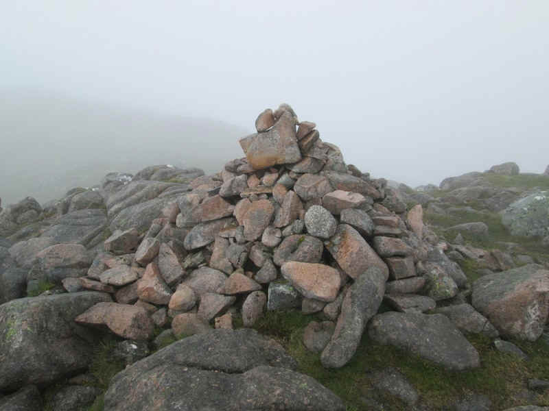
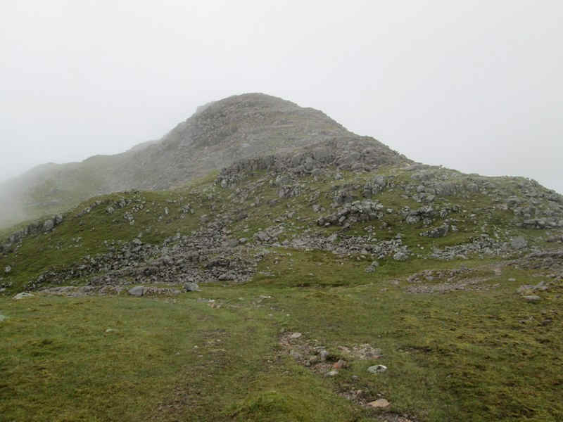
ascents and descents over rocks which slowed me down. This is the cairn marked 863m on the OS
maps.... ....and then there's another descent to... ... a coll at the point marked 800m. There was
a brief clearance of cloud.... ....but as I started to climb again it closed
in. By now I was an hour later than expected. I finally reached the 848m point on Meall Garbh
and started off downhill over more boulders towards the coll that lies before
the final climb to Beinn Sgulaird. The mist was thicker and I couldn't see any
obvious track. I also knew that this next section was no better than what had
gone before. I reckoned that to get to the summit and
back to this point would take an hour and a half. It had taken me 5 hours to get
this far and was now 14.10. So I'd probably be back at this spot by 15.40. I'd
need 4 hours for the downhill walk back to Creagan so I'd be lucky to get back
to the bus stop by 19.30 for the bus at 19.57. That would be far too tight at
that time of the evening, especially when my bed was in Oban. I also wanted a meal. For once there was no
need to make the decision as it was made for me. I turned back without any
hesitation and as I'd estimated I took exactly 4 hours to get back to Creagan
and I had time to have a delightful meal in the Creagan Inn - highly
recommended. Whilst I failed to reach the summit I'd enjoyed
the walk and hopefully next time I try to climb this hill I won't be as tired
and maybe the visibility might be a bit better.