Ben Avon
For my third walk in June 2016 I decided on one of the 'big' ones, Ben Avon (roughly pronounced Ben Aan ) from Keiloch near Invercauld Bridge. It's a 21 mile walk with 1004 metres of ascent according to the Walk Highlands website.
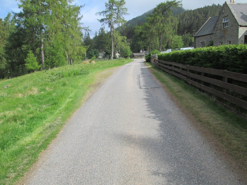
Setting off from Keiloch (the current car park charge is £2.50) the first few miles are along a tarmac road..
...but at least there are good views of Beinn a' Bhuird.
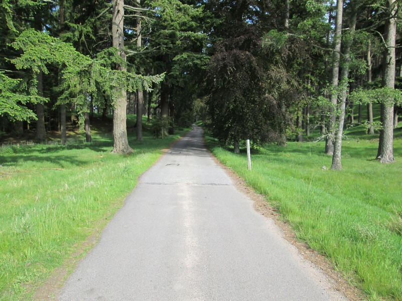
The road goes through trees with..
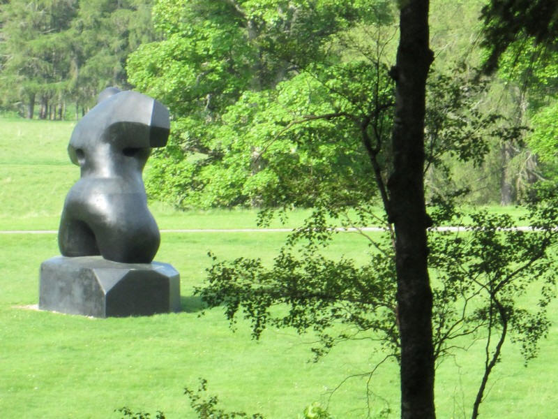
...a rather surprising sculpture visible in the grounds of Invercauld House.
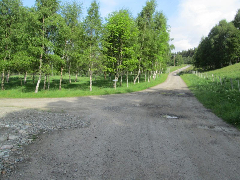
Shortly beyond the house the road splits and the green right of way sign points the way uphill to Linn of Qouich and Glen Slugain.
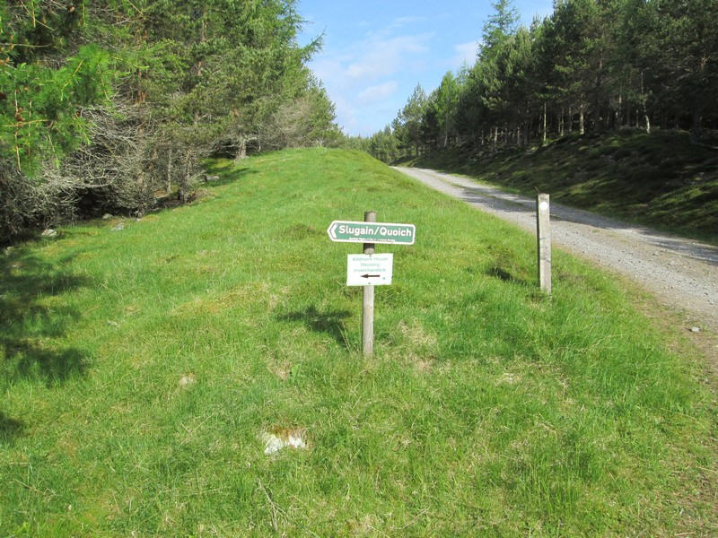
Eventually there's another sign off to the left....
...and then a right turn to along this road to...
...reach a junction which has a signpost to Linn of Quoich pointing to the left. Surprisingly, the way to Glen Slugain isn't signposted, but the route goes off to the right on a straight course through the trees. It's easy to be fooled here so careful map reading is necessary here.
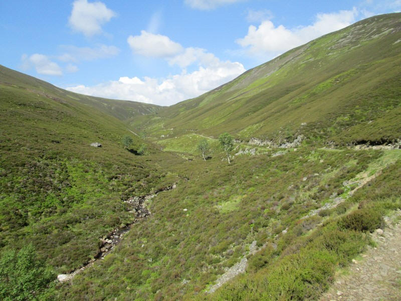
The track comes out of the trees above the Allt an t-Slugain and follows it..
....before the first view of the open glen appears
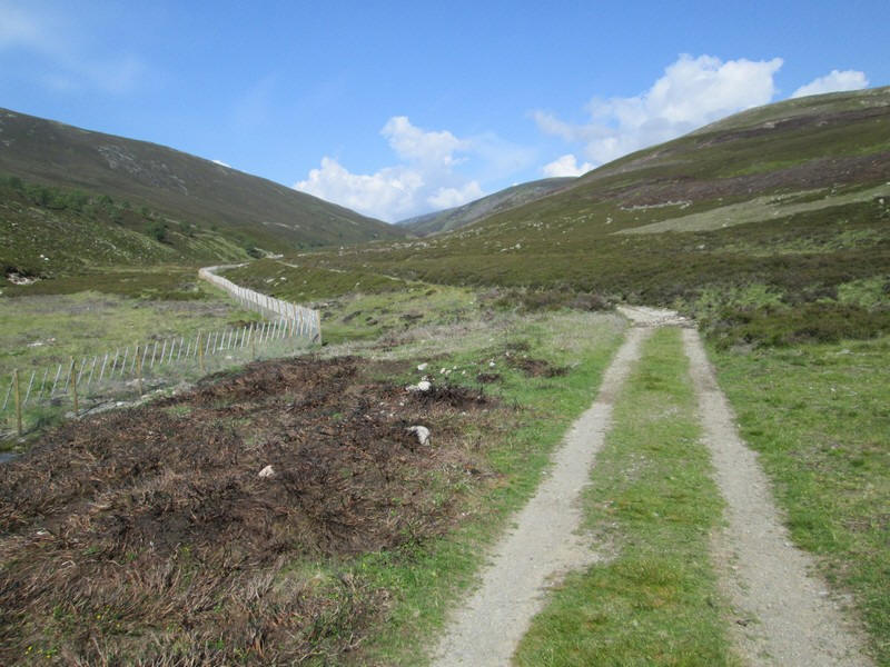
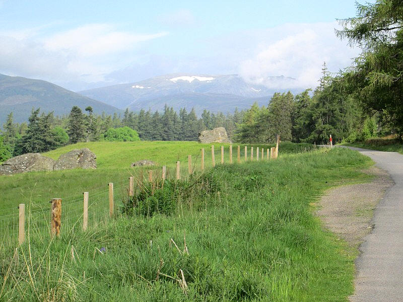
The track continues by the side of a very elaborate deer fence......
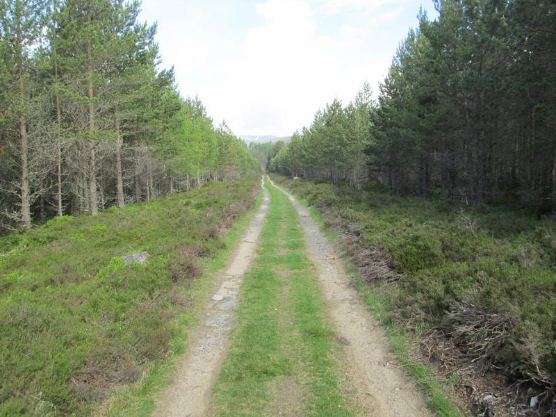
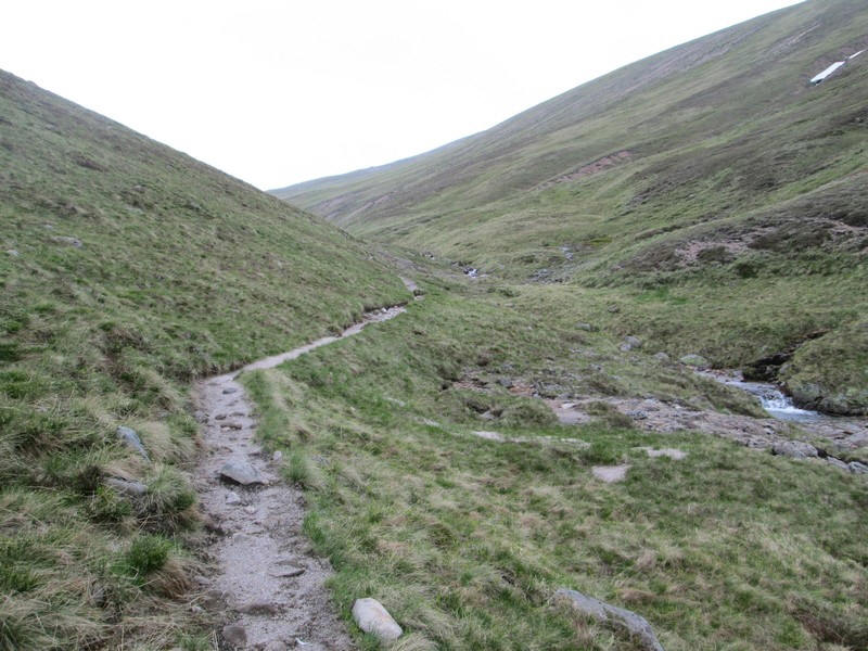
...and it's a really enjoyable walk on a superb track. No wonder many walkers cycle up here.
The trac k continues to rise above the burn but...
 |
 |
....eventually, there is a decision to be made.
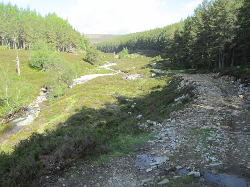
At a small cairn a path goes down to the ruined building seen in the gorge below. The main track curves round to the right. After a few hundred yards the two paths will merge again. (see later)
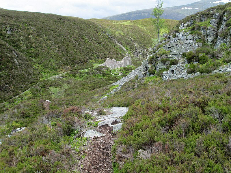
I decided to take the rough path down to the ruin....
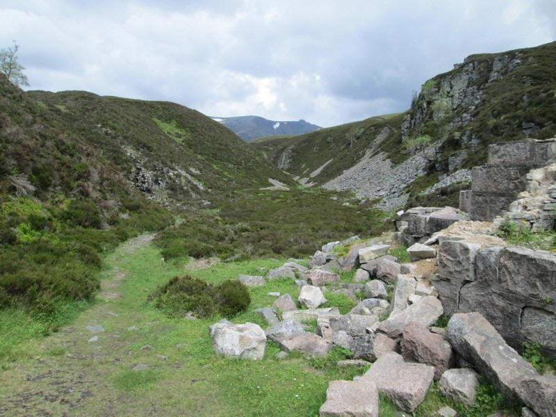
....which lies in what looks like a small gorge.
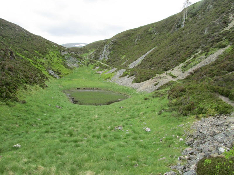
There's a pool of water but no stream, so presumably this drains away through the rocks.
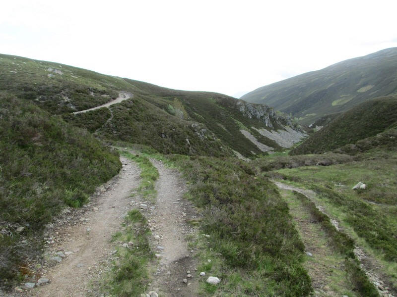
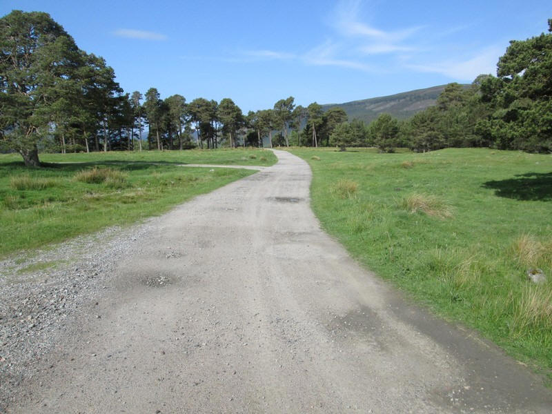
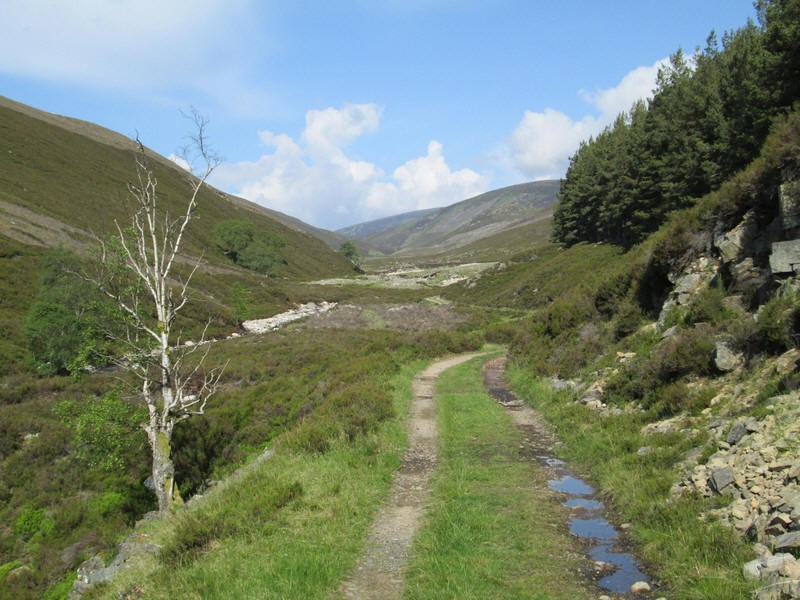
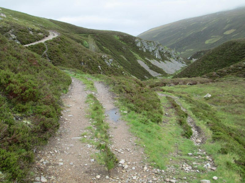
The two paths merge and eventually......
....the vehicle track ends and turns into a well....
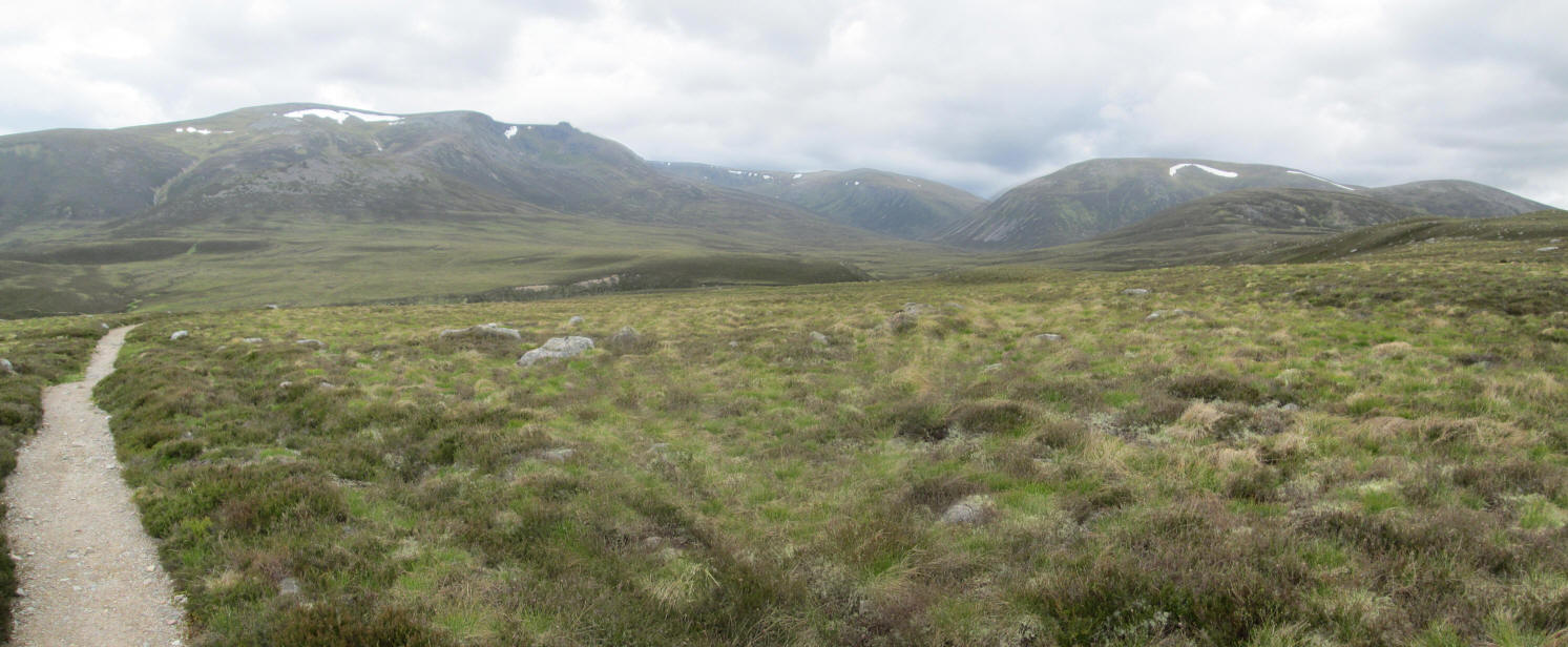
....prepared footpath. Ahead lie Beinn a' Bhuird on the left and Ben Avon on the right.
Click on the photo to see a larger image and then click again to see the full sized panorama.
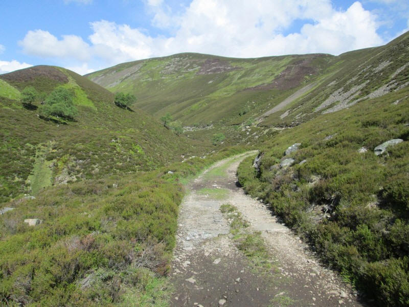
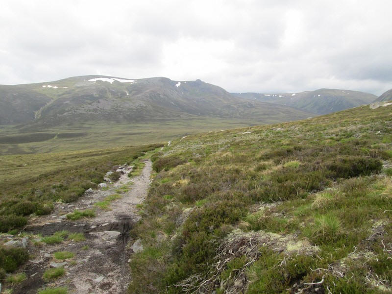
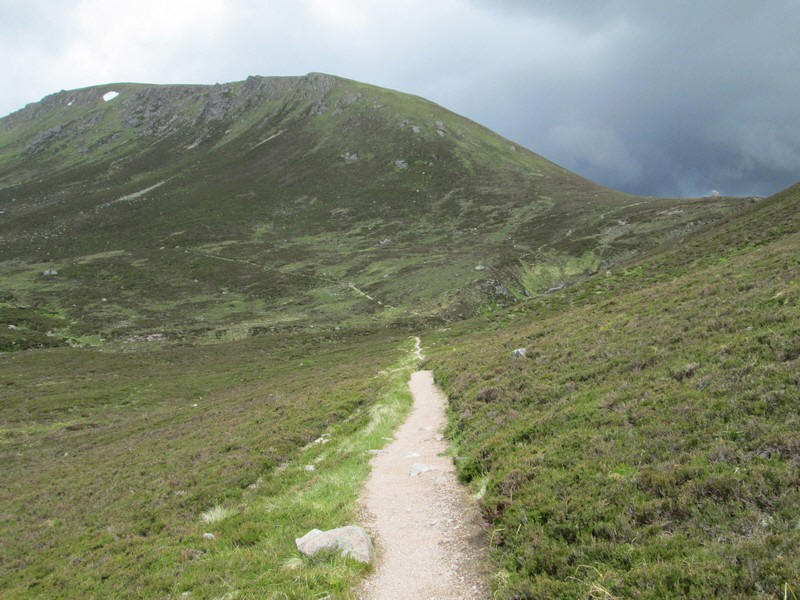
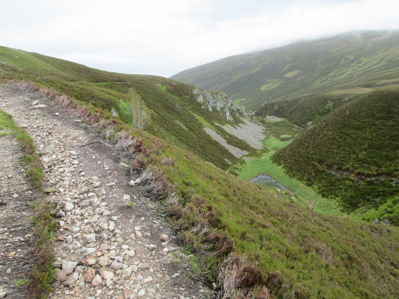
The path continues for a considerable distance across the moor...
....and this view shows how extensive and remote this area is.
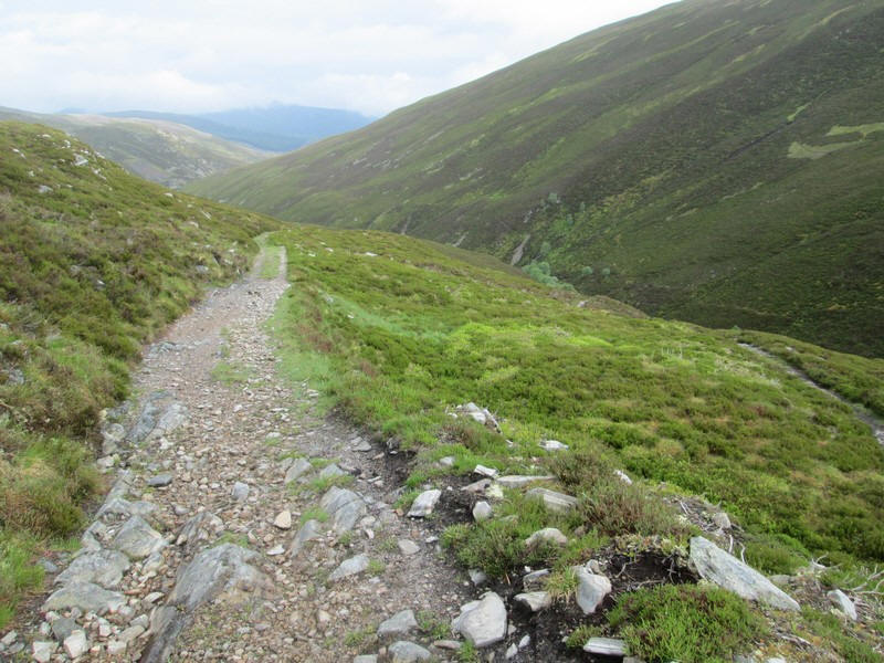
The path is rising gently all the time as it heads towards the corries around Beinn a' Bhuird's east face.
The sky looked rather threatening and, in view of my experiences a few days earlier with thunderstorms, I was considering turning back if the weather deterioated.
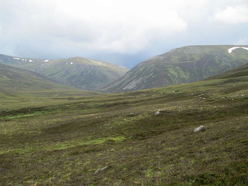
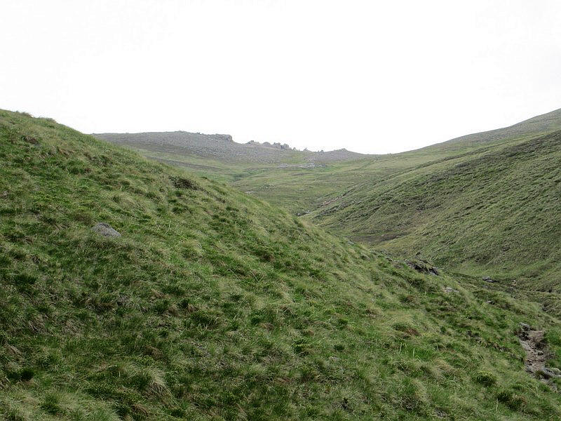
Ahead is the zig zag of the path up the spur of Clach a Cleirich
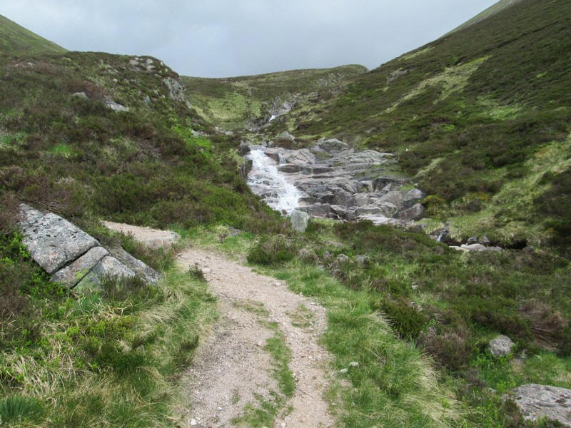
The path crosses the Glas Allt Mor, which could be impassable I suspect if it was in spate.
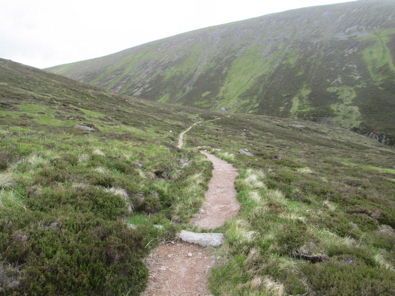
At the top of the zig zag the path enters the narrow glen leading to The Sneck.
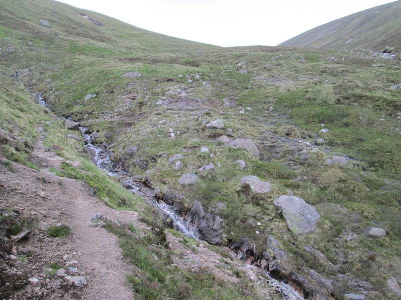
There are several streams to cross...
...and the path twists and turns for nearly a mile before...
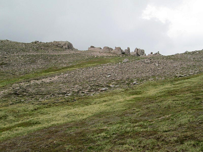
...the rocky tors of The Sneck come into view.
Despite what the O.S. maps show there is a good path the whole way.
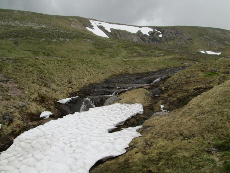
There's another stream to cross with snow still lying in early June.
The Sneck

The enormous corrie of Garbh Choire took my breath away when I saw it. It is almost a mile an half across at the widest point.
Click on the image to see a large photo and then click again to see the full sized panorama.
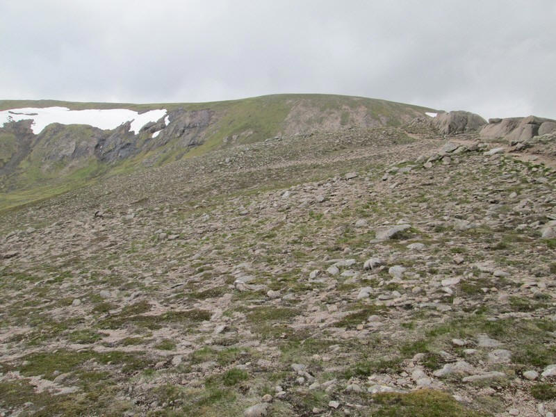
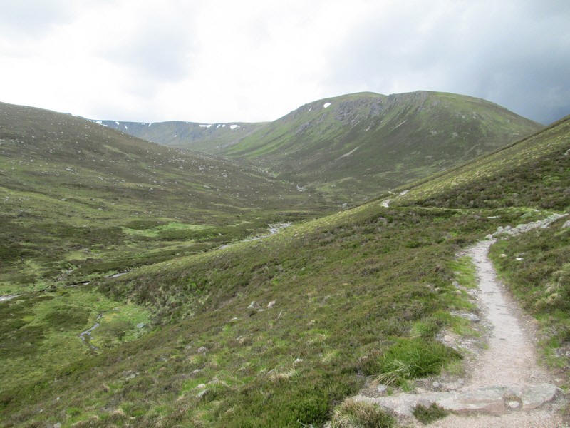
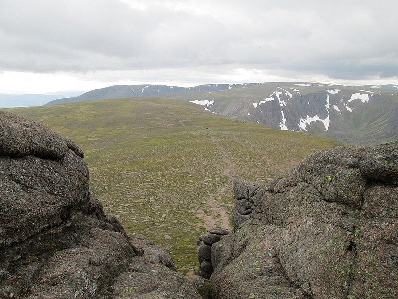
Looking from The Sneck towards Beinn a'Bhuird.
The weather improved so I started the climb to Ben Avon. The path appears quite heavily eroded but in actually fact presented no difficulties on the descent. The climb goes from 986m at The Sneck up to 1171m at the summit tor.
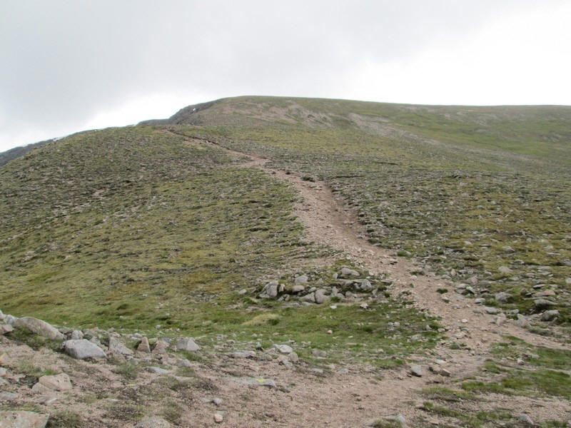
Looking back the way up to Beinn a' Bhuird is obvious, but that will be a walk for another day! I did walk part of the way with another walker who climbed both hills - he had used a bike though. He'd left the car park about an hour and a half after me and arrived back at the same time as myself.
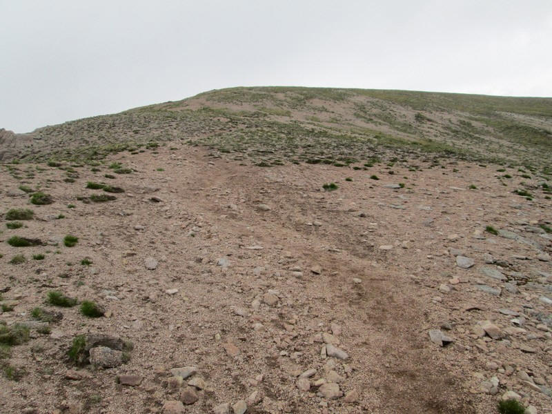
The eroded surface of the path is obvious as the first summit at 1138m is approached.
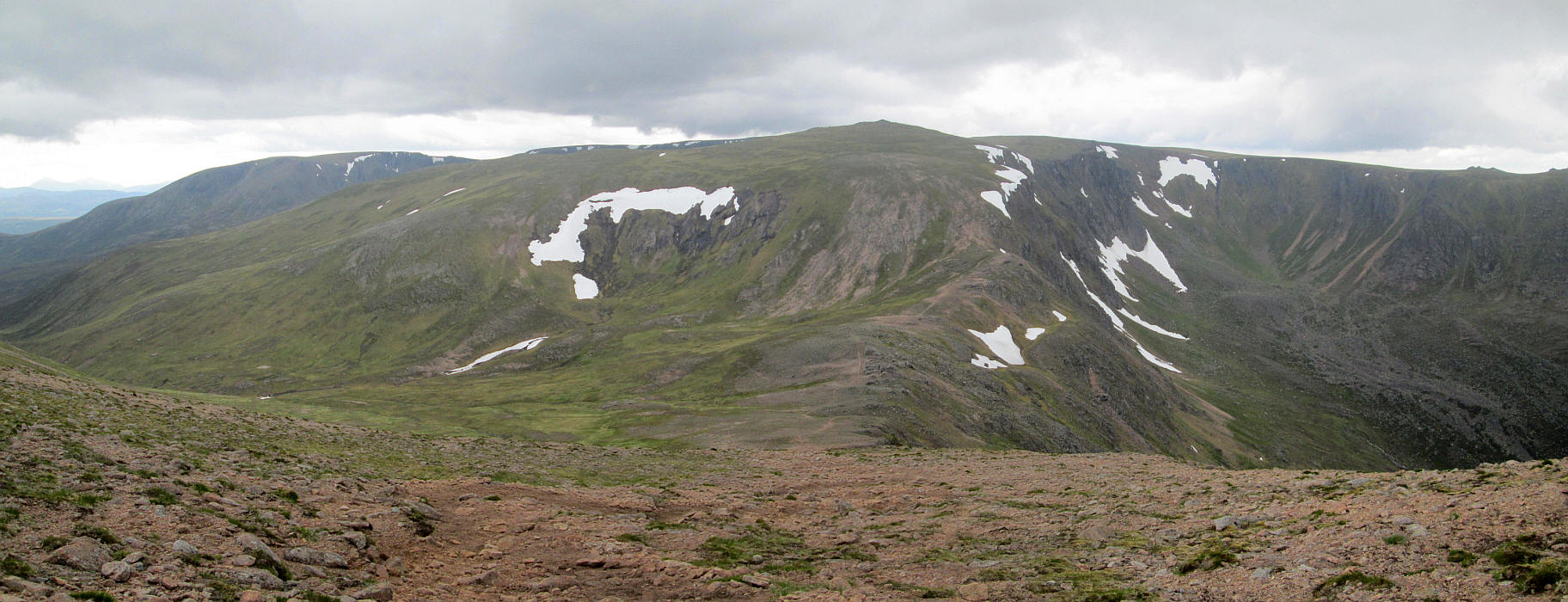
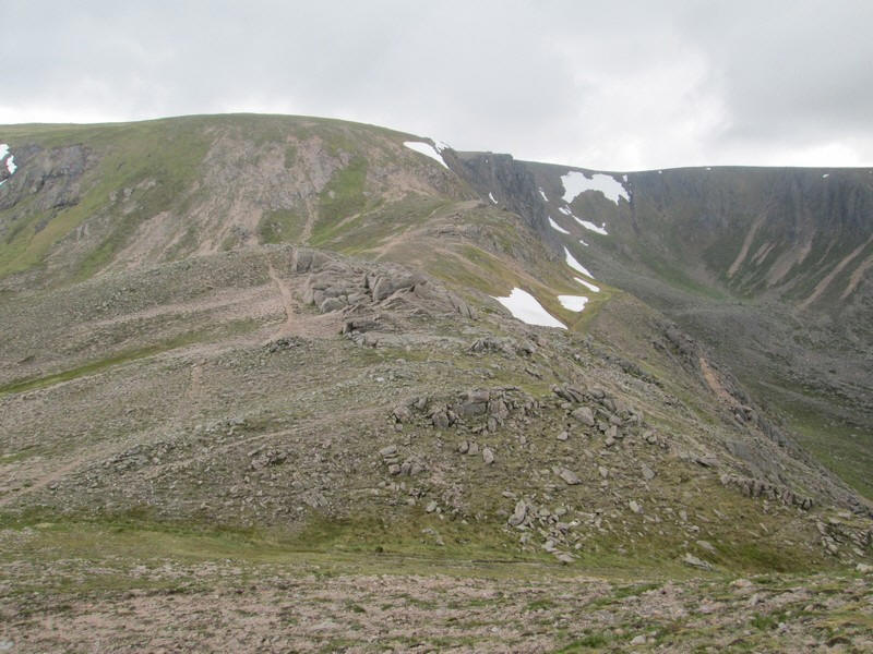
I couldn't resist putting in another panoramic photo looking back to Beinn a' Bhuird and the corries that surround it. Click on the image twice to see it full size.
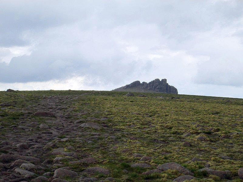
The impressive tor on the summit of Ben Avon pops into view.
(the summit name is shown on O.S. maps as Leabaidh an Daimh Bhuide but Ben Avon is a lot easier!)
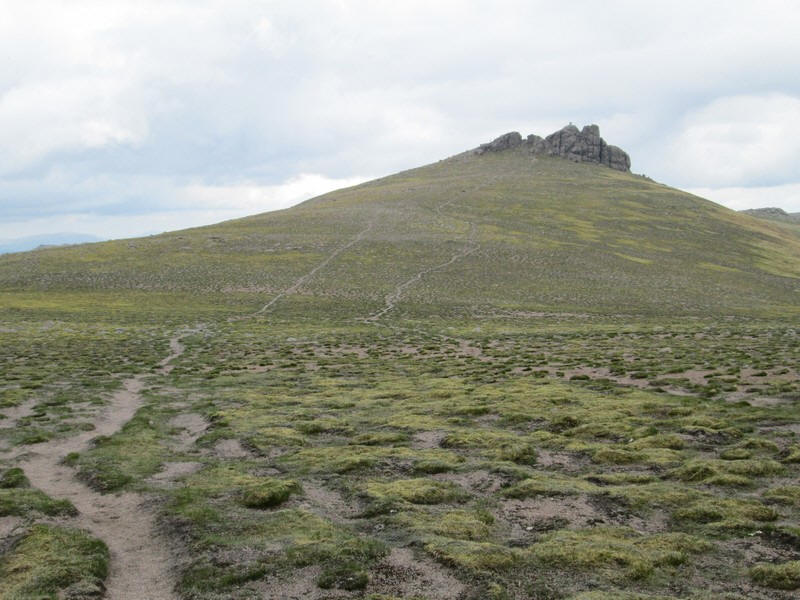
Two paths head across the tundra to the summit.
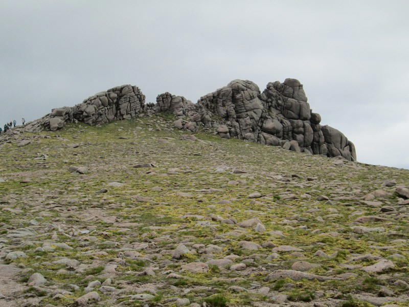
It's difficult to convey the size of the rocks until you look on the left at the group descending. They were a D of E group and most of them seemed to have scrambled up to the top.
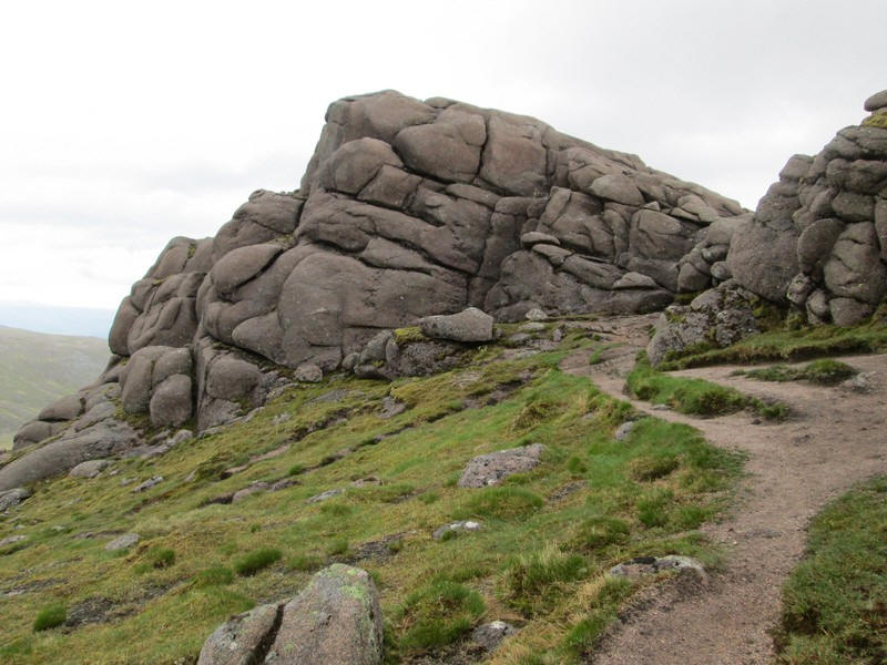
The path loops round to the back of the tor and ends....
...at this cleft. As I was on my own I decided that there was no need for me to reach the top and risk a slip. For those who say I haven't climbed Ben Avon I say, "Tosh!"
The walk had taken me 5 and a half hours with a couple of short breaks, just a few minutes longer than I'd expected.
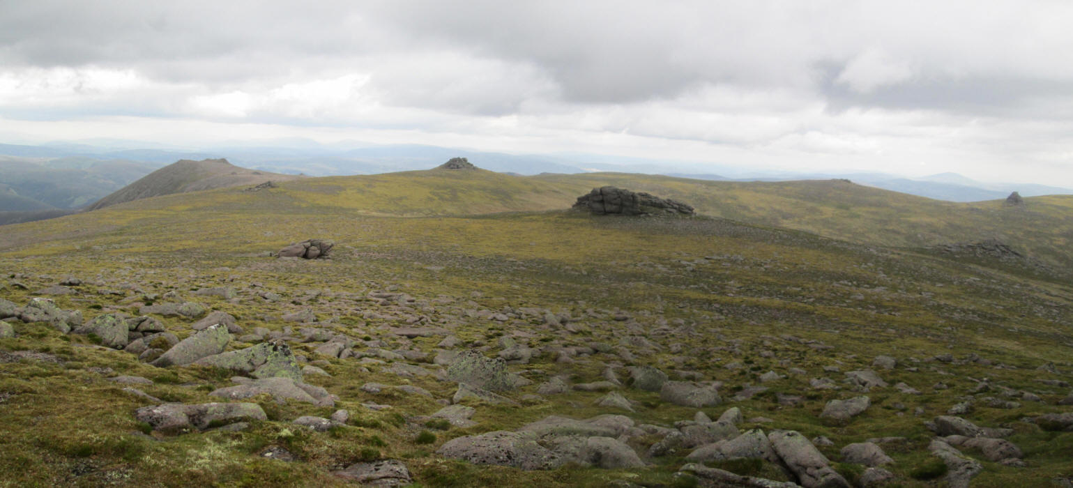
Looking east from the summit there are a several smaller tors - I later met a couple who were "bagging" them all!
After a short break it was time to head off back downhill as it's a long way back!!
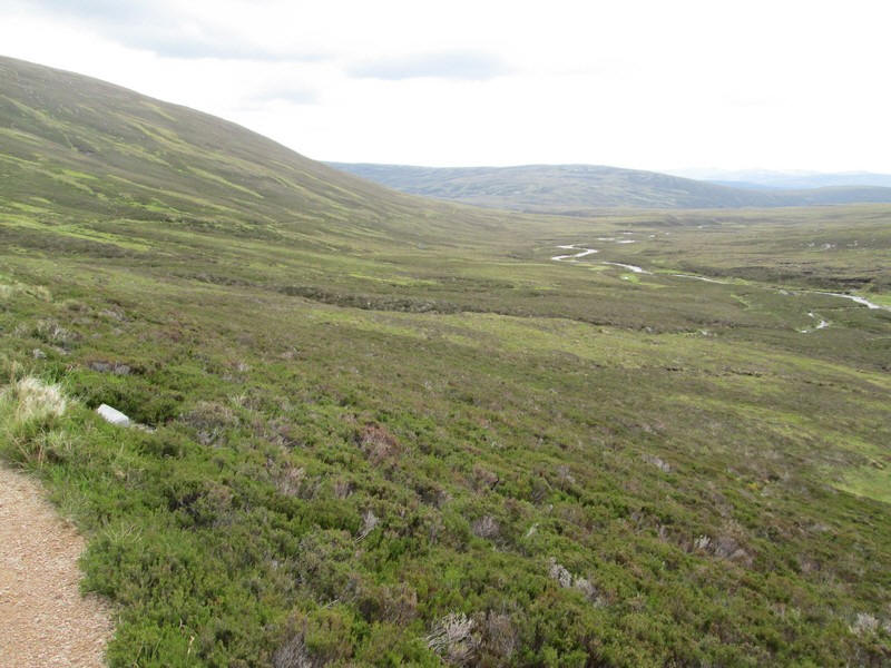
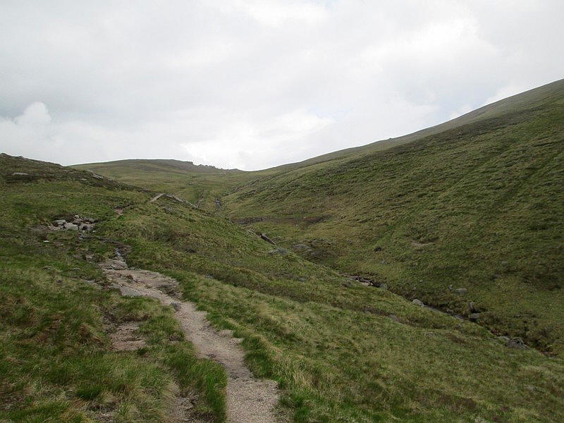
After some hours on rough paths it is quite startling to suddenly come across the well prepared valley path at the top of the zig zag section.
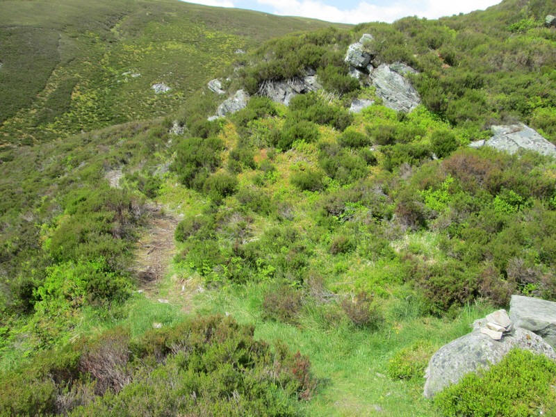
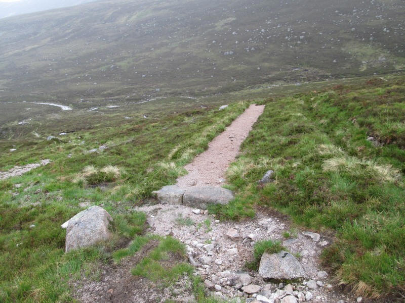
I've included a couple of photos of the high level section of the track near the ruin.
Looking down into the gorge.
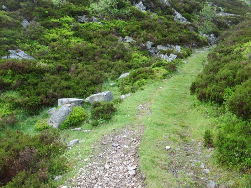
The track begins to drop downhill...

...and twists round to the point where the path to the ruin starts.
The return walk took exactly four hours, giving a total of a few minutes under ten hours including lots of short breaks.