Ben More (Mull)
Most walkers climb Ben More on Mull from the northern side but as there's no public transport there this wasn't an option for me.
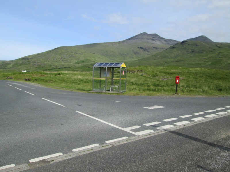
In June 2014 I took the early ferry from Oban to Craignure and then the Finnophort bus as far as Kinloch crossroads. It's not actually a crossroads but is the junction for the B8035 coastal road. Arrival was at 0905 and I needed to be back by 1600 to get the last bus. It's actually better to do this walk on a Monday or Saturday as the ferry and bus connections mean you arrive here earlier. There's obviously a bus shelter with a seat which is useful at the end of the walk when you're waiting for the bus.
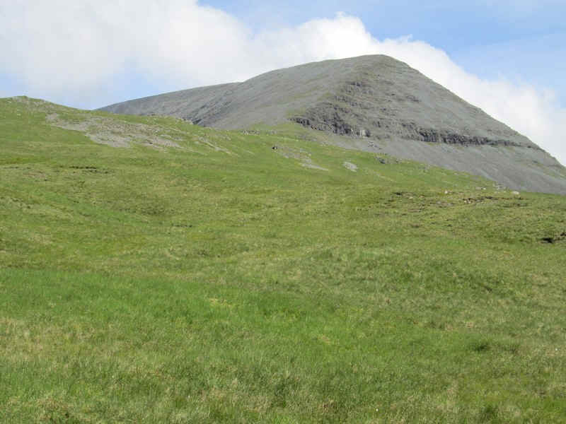
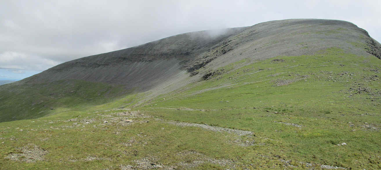
Virtually the entire walk can be seen in the photogarph with the actual summit of Ben More being the one on the right of the long ridge sloping up from left to right. From this angle it looks lower than the left hand summit.
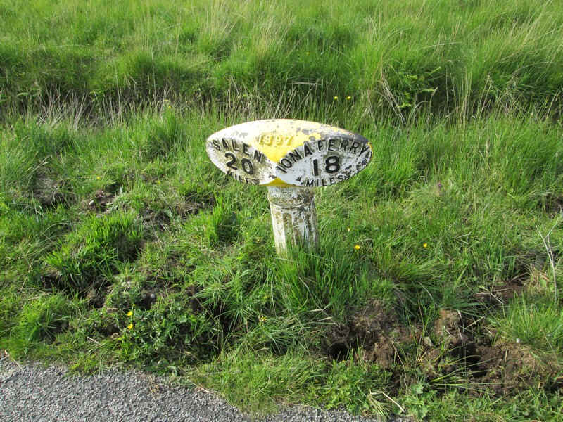
Shortly after starting the walk I passed this unusual 1897 milepost. Presumably this is when the road was improved or taken over by the county council.
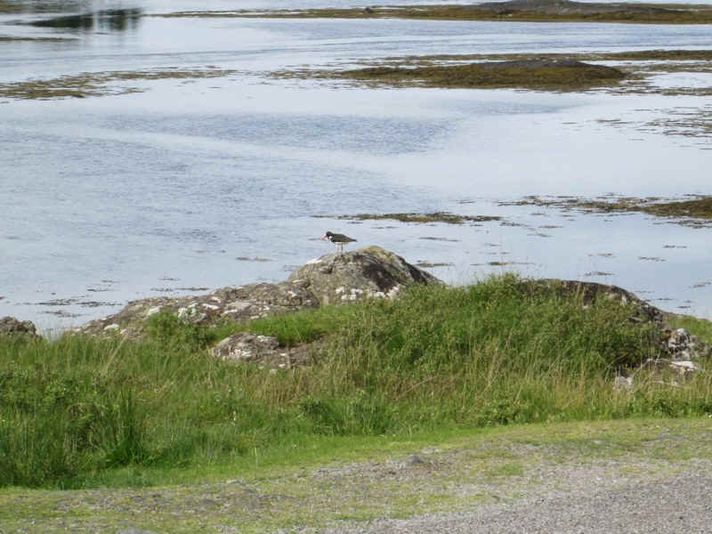
I think this is an oyster catcher on the shores of Loch Beg.
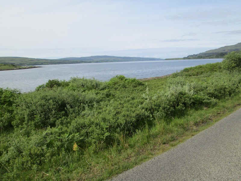
This is where the small Loch Beg changes into the much larger Loch Scridain.
The first part of the walk is along the B8035 and it is a pleasant 40 minutes...
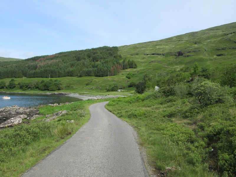
...by the loch side until this plantation comes into view.
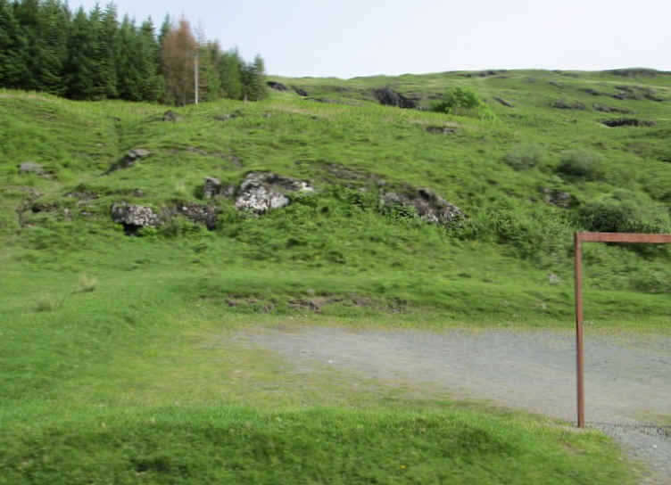
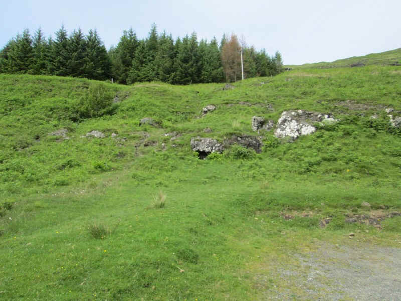
There's a small car park at the point where the route to the hill leaves the road. I'd expected to find evidence of a track through the bracken but there was nothing obvious.
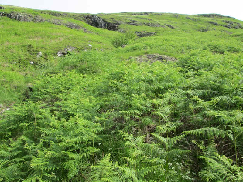
The first part of the walk is not particularly enjoyable because it means forcing your way through waist and even chest high bracken. Fortunately, it was dry but this would have been really unpleasant in wet weather.
Eventually the bracken becomes less dense and rocky outcrops appear.
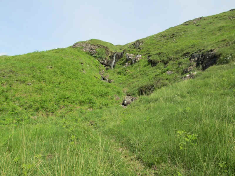
There are occasional traces of a path but they are so intermittent as to be useless. I therefore used my GPS to walk to specific waypoints, the first being at NM 520 308.
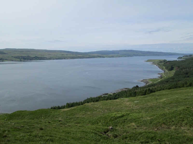
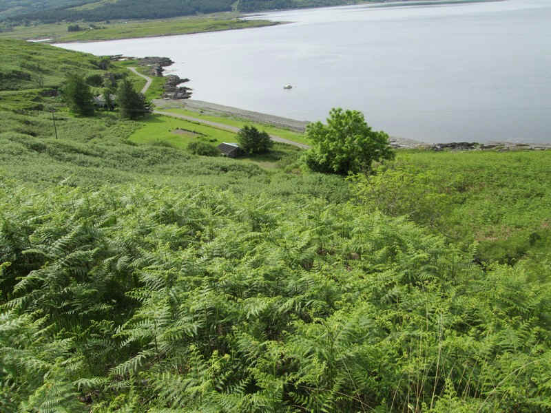
It's worth turning around for the views over Loch Scridain.
I was now aiming for the area of the hill marked as Maol nan Damh - roughly NM 519 320
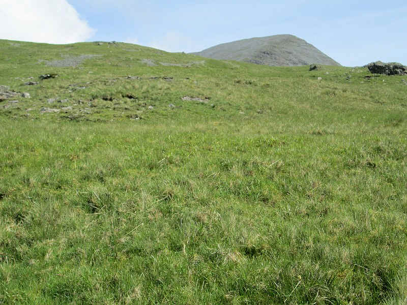
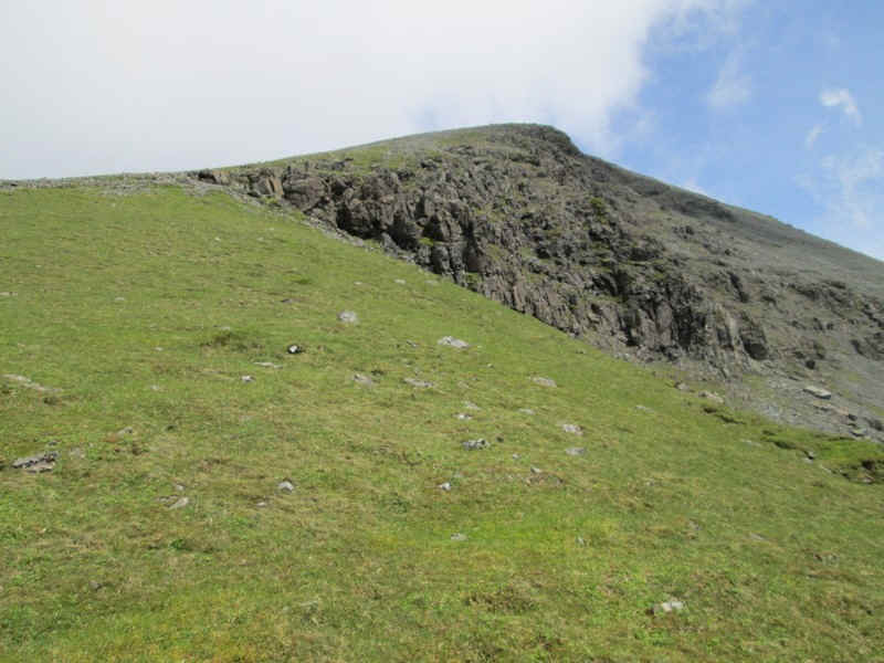
The south ridge of Ben More eventually comes into view so it's now a case of walking directly towards it.
There's obviously a good line straight up the hill just to the left of the cliffs.
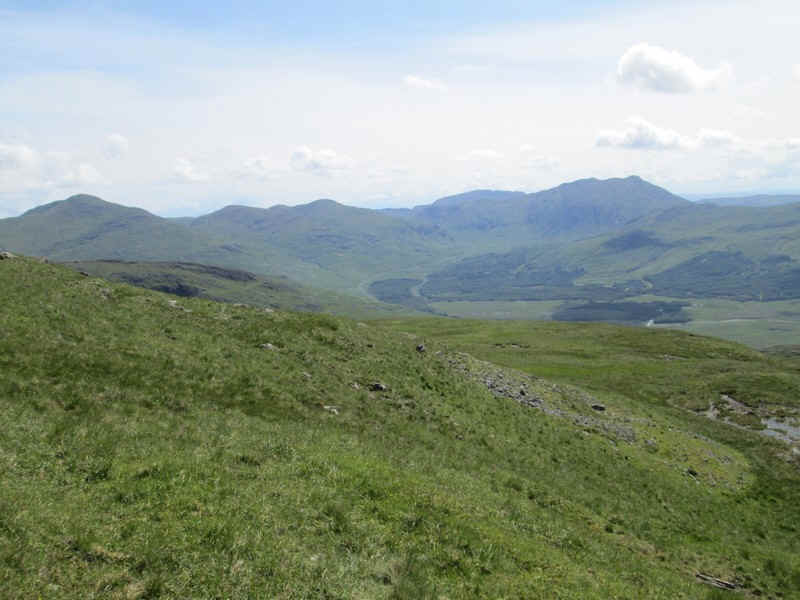
Time for a rest and a view across Glen More to what I think is Ben Bluie (on the right)
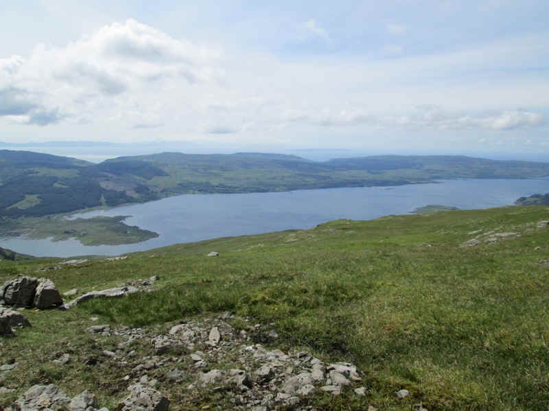
Looking across Loch Beg towards Colonsay and Islay.
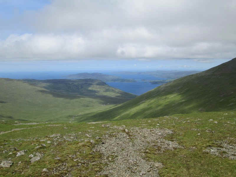
Looking north west is the island of Ulva with Loch na Keal in front of it and Loch Tuath beyond.
Click on this image to see a larger photo of the northern side of Ben More. The usual path up the hill comes up the ridge from the left.
I was now aiming for about NM 522 320 just to the left of the cliffs on the southern side of Ben More.
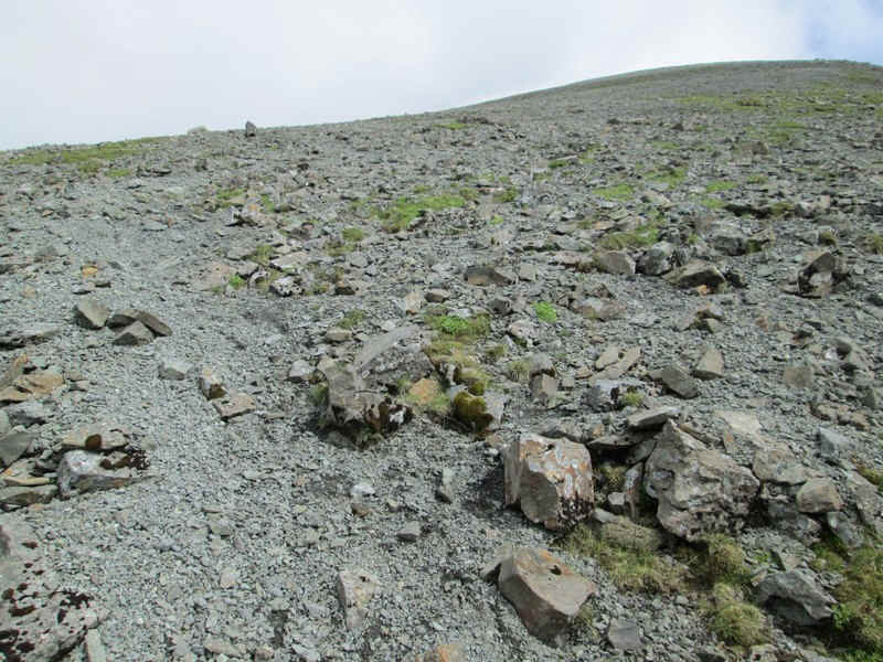
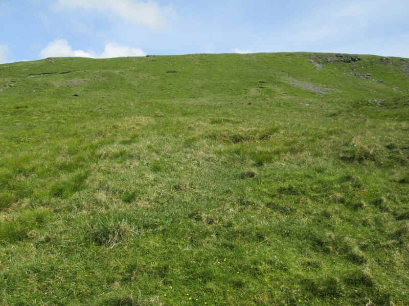
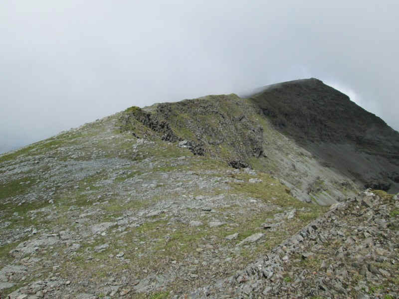
The climb onto the main ridge is over stony ground with some evidence of tracks showing that this was once a more popular route up the hill.
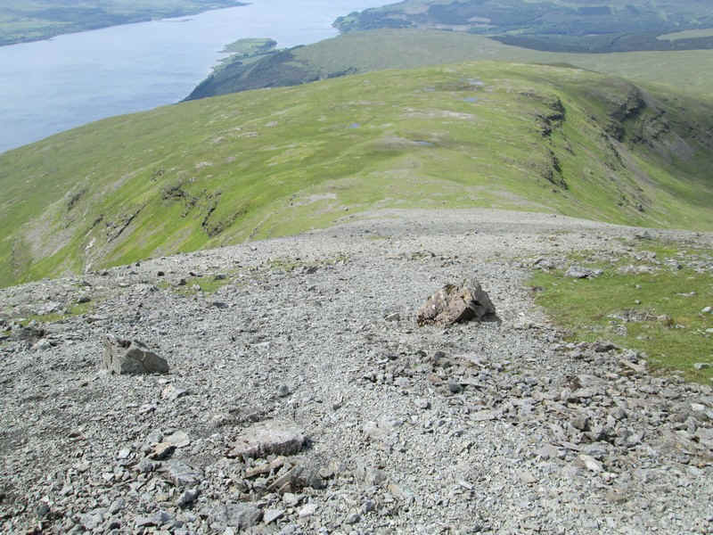
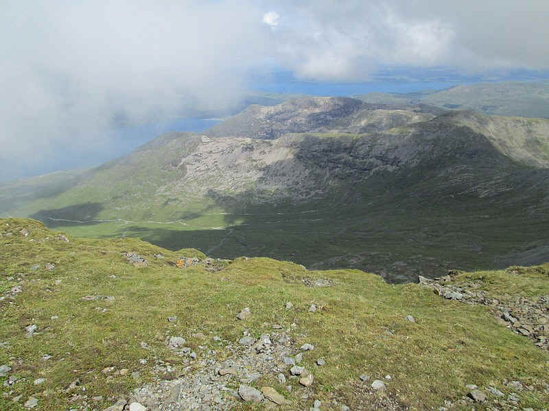
Looking south most of the route up the hill can be seen.
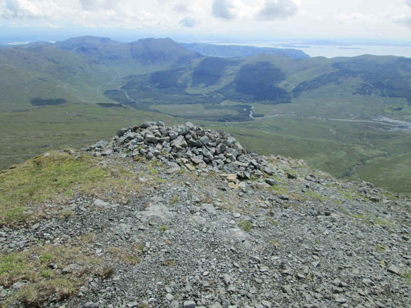
The southern summit of Ben More is marked by a cairn at about 875m above sea level.
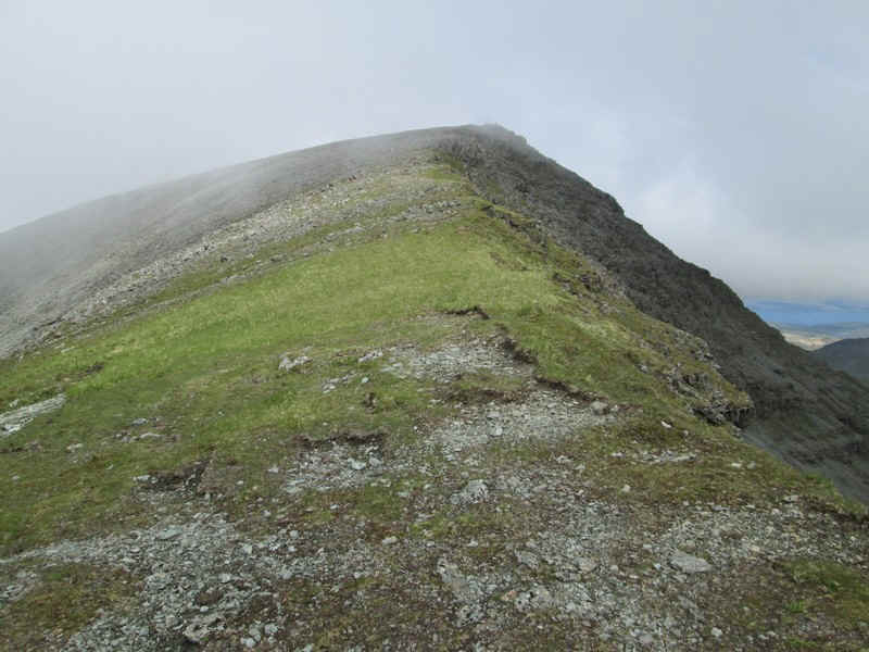
The way to the summit follows the ridge which climbs quite gently about another 100m uphill.

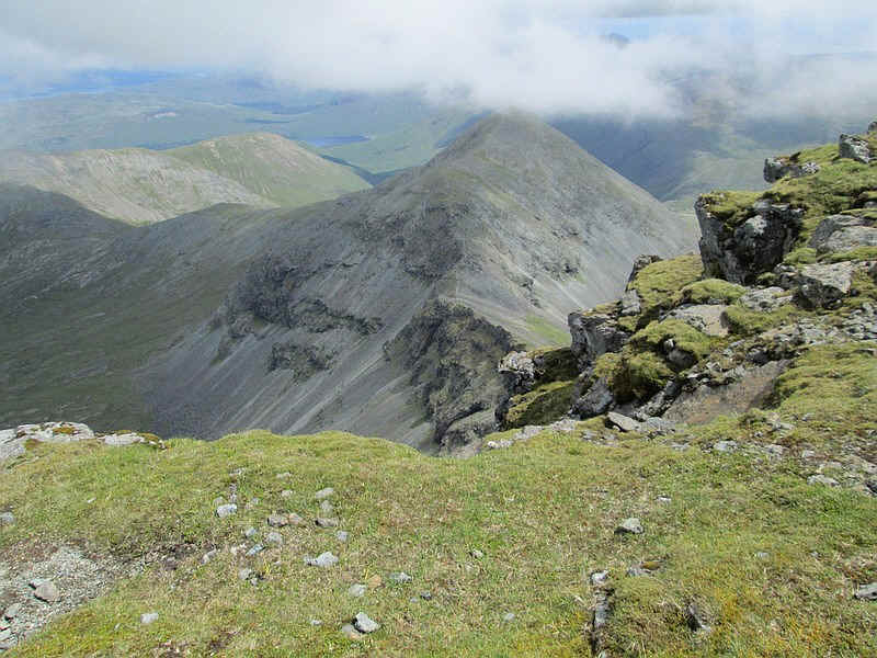
Over to the east is the 867m peak of A' Chioch with Loch na Keal to the left and in the distance the hills of Morven beyond the Sound of Mull.
The final climb to the summit where my solitude was about to be shattered...
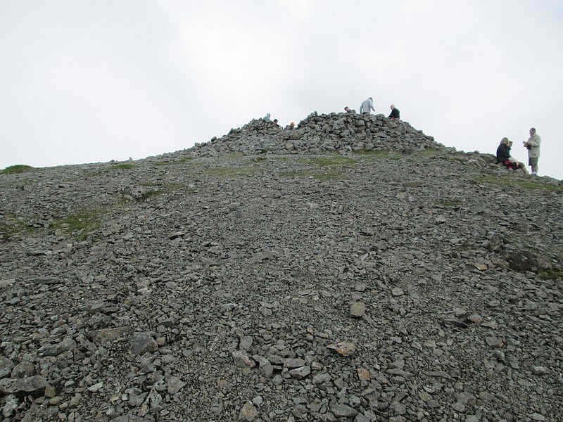
... as there were at least twenty walkers gathered in and around the cairn. They'd all come up the usual path from Dhiseig. I'd met nobody since leaving Kinloch crossroads - the walk had taken exactly three and a half hours. Despite the rough going at the beginning I felt it was an interesting route and am surprised it isn't more popular.
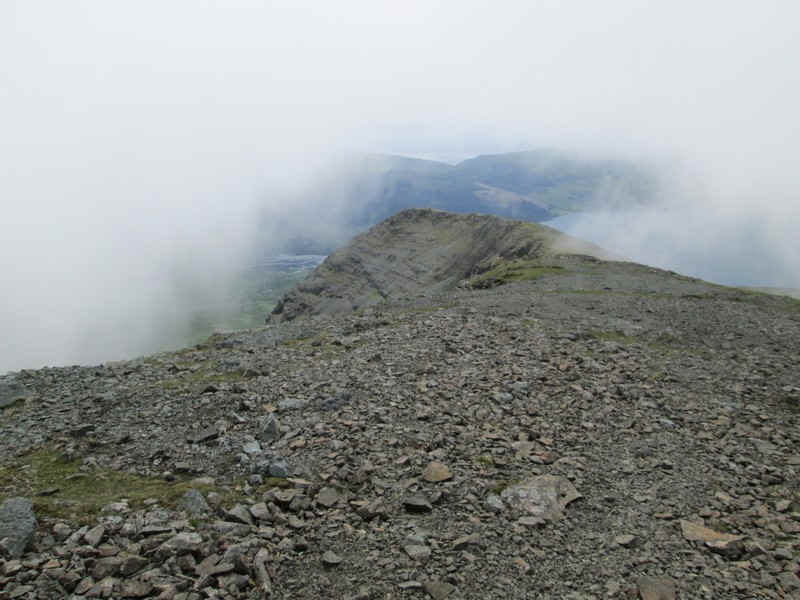
Cloud kept drifting across and views were intermittent. In the distance can be seen the Sound of Mull.
The ridge leading down to A' Chioch beckoned but I resisted the call.
After a short break I decided that I'd rather eat my lunch in peace so I headed off back down the ridge to find a quiet spot.
I was determined not to have to fight the bracken on the way back to the road so, as my GPS track on the map shows, I took a slightly different route on the way down heading towards the edge of the plantation boundary fence at roughly NM 517 302. As I expected there is a rough track down by the fence which avoids the worst of the bracken.
I arrived back at the B8035 at 1440 with plenty of time to saunter along the road for the bus at 1600 and .....
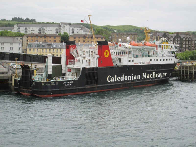
....I was back in Oban by a quarter to six in time to see my one of my favourite Calmac ships 'The Lord of the isles'