Ben Vane
The way points on this map are taken from my GPS Spot tracker. You can make the map bigger or alter its appearance by clicking on the controls.
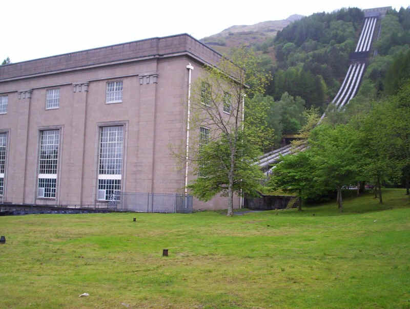
A rather wet Sunday morning in mid May 2011 found me (yet again) on the 07.00 Uig bus from Glasgow Buchanan Bus Station, this time just to the Sloy power station at Inveruglas.
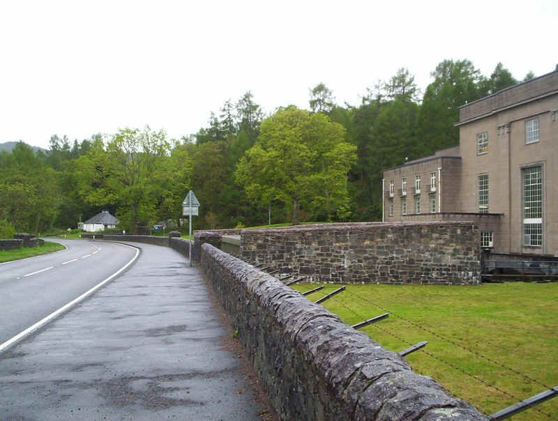
The walk started by an amble along the road...
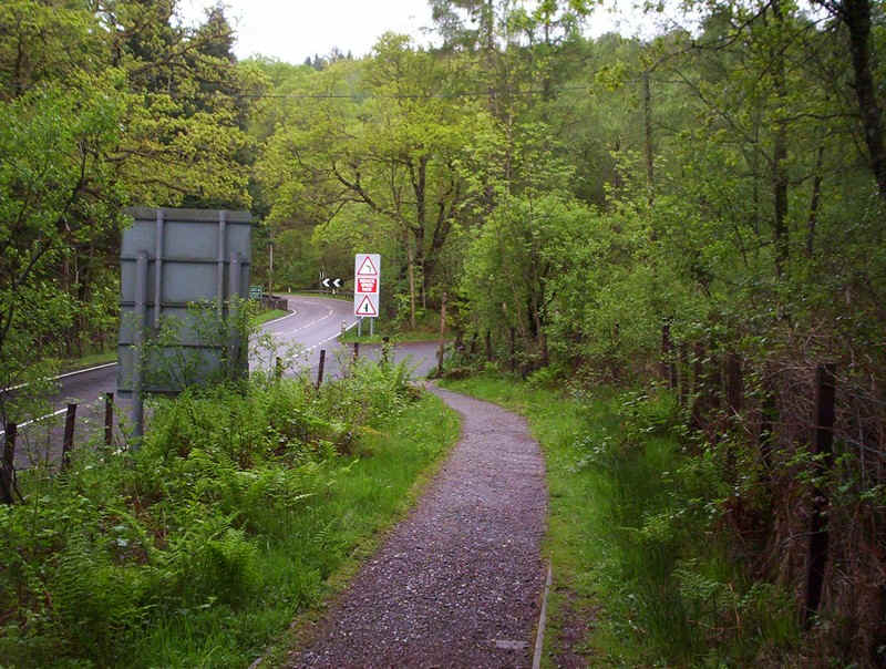
.....and a permissive path in the company of a young Scot who was testing out a walk for a group he was going to lead. We spent a pleasant half hour discussing walking and (in his case) wild camping.
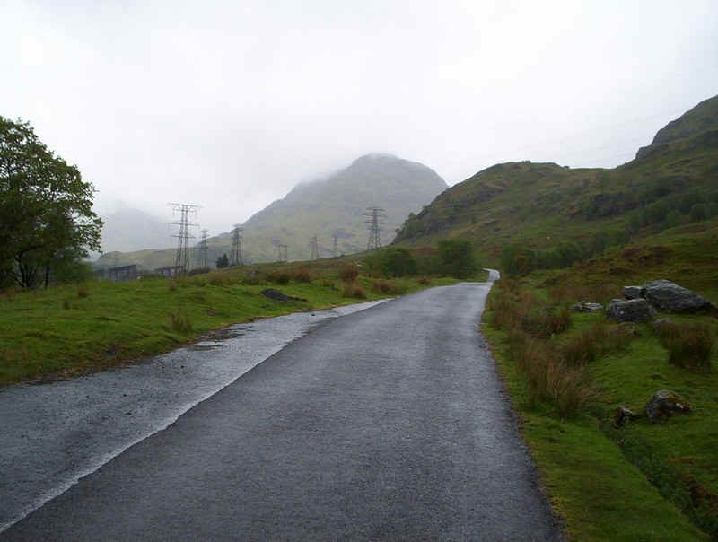
After passing under the railway bridge, the paved road up to the Sloy dam was taken with a rather cloudy Ben Vane in view.
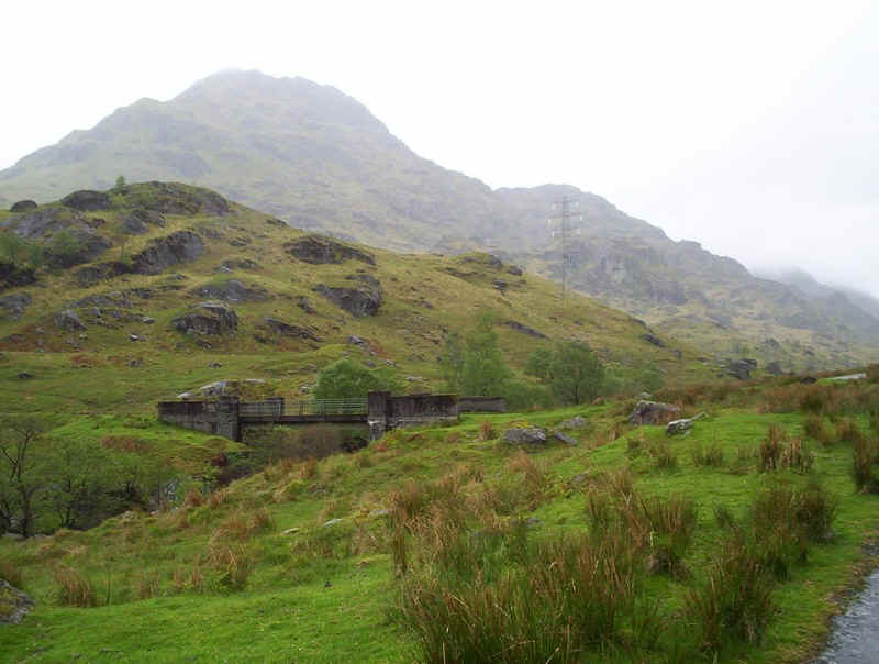
The way up the hill branches off across this bridge...
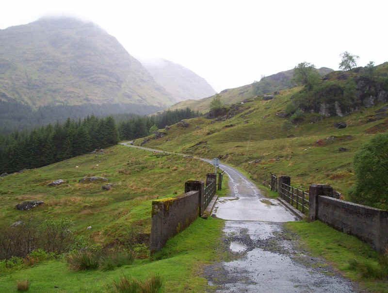
.....and goes further up the glen until....
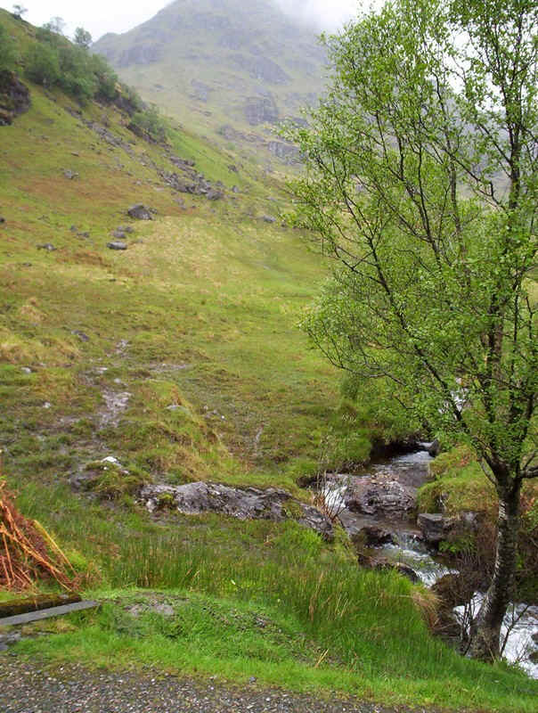
......after crossing another bridge a rather indistinct track leads onto the hillside.
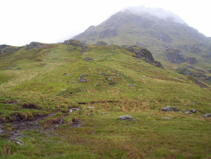
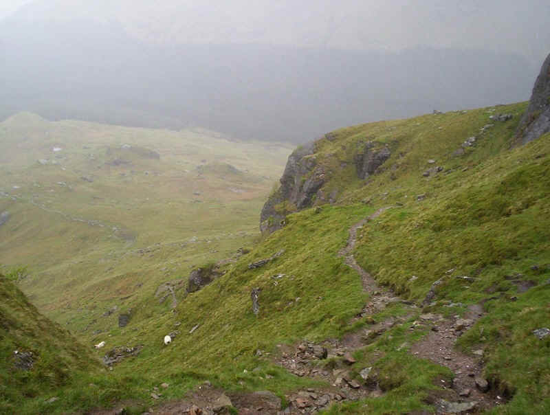
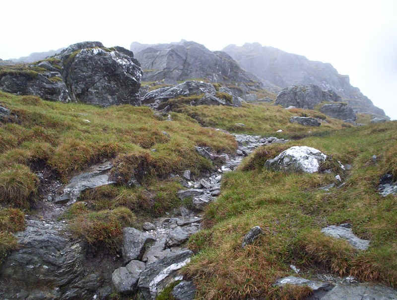
Initially, the track is rather boggy...
......but remains clear the entire way up the hill.
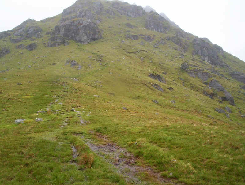
Soon enough the path becomes more interesting...
.....as it weaves its way up through rocky ground.
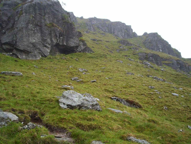
The crags above begin to look a bit intimidating....
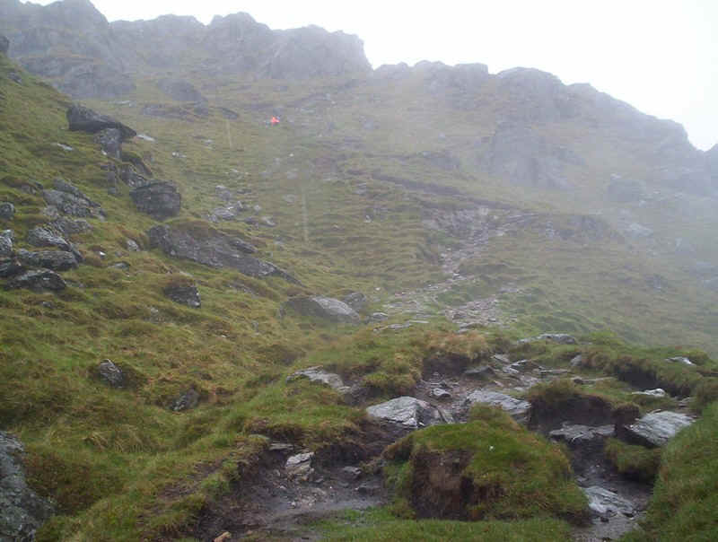
.....but the path finds a way through with a bit of hand work where necessary.
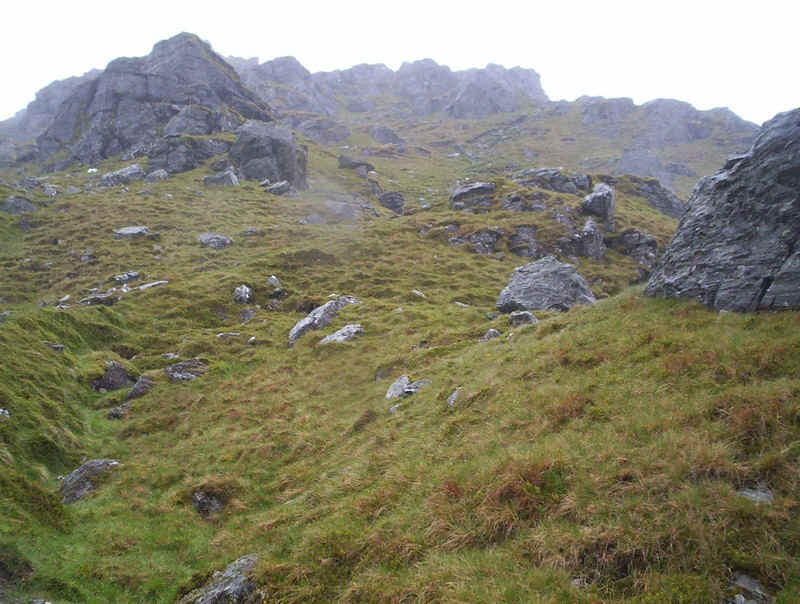
Further up more crags appear and...
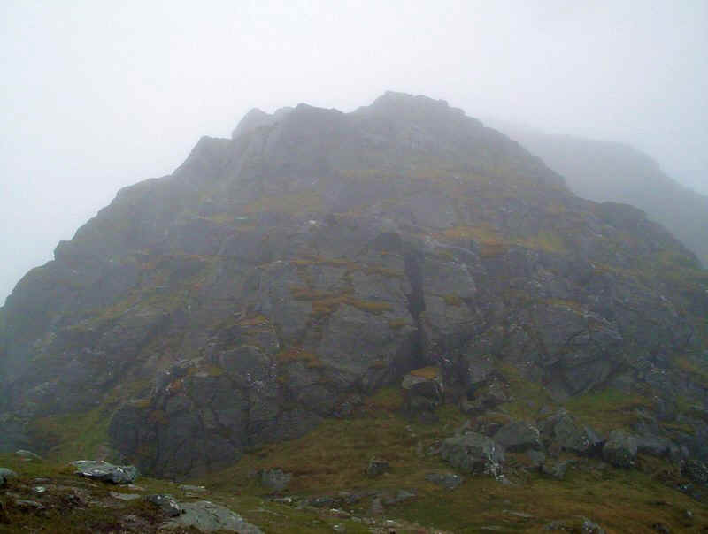
....this time they are more demanding.
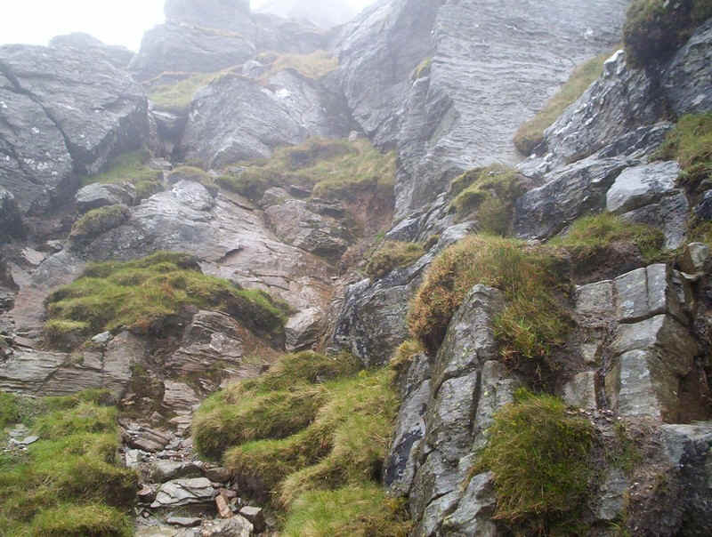
I didn't like the look of that way straight up but by climbing diagonally up the grassy rake to the right there's an easy..
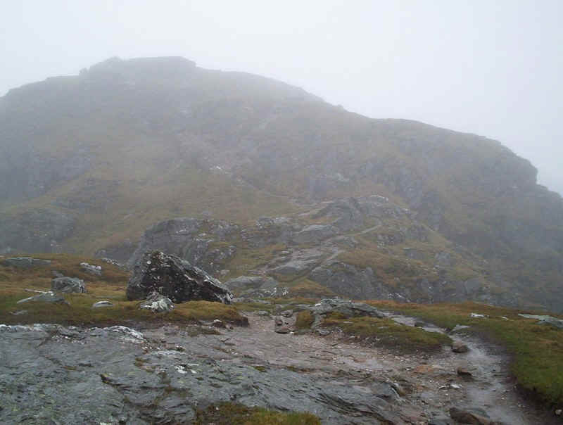
...way up through the rocks and the summit comes into view through the mist.
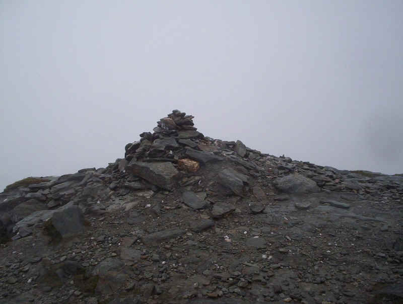
Ben Vane's summit cairn...
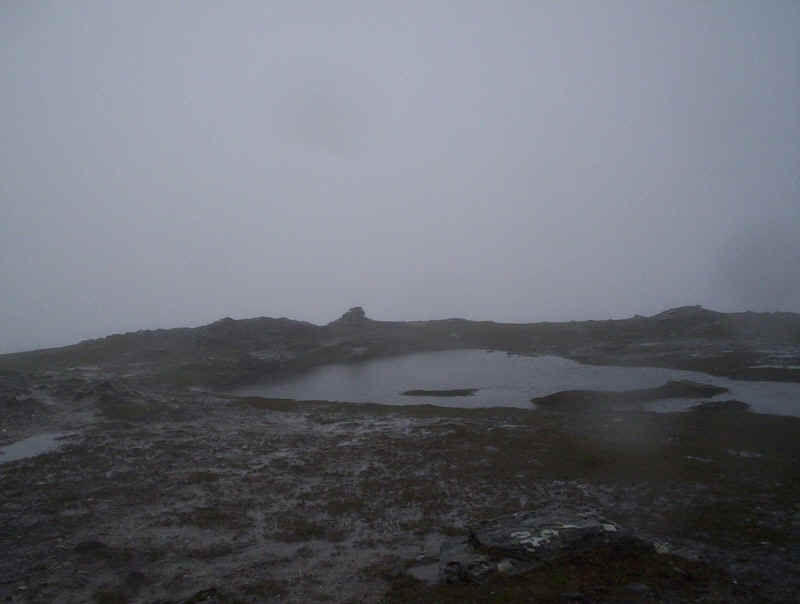
......and the small pool that forms on the summit plateau when it's been raining a lot. Clearly there were no views so I found somewhere to eat.
Shortly after I arrived another walker arrived and we ate lunch together and then returned down the hill. It's good to have company sometimes when you walk alone. He was doing an incredible long distance walk visiting all the cathedrals in Britain. His wife was providing support with their camper van and every so often he'd also climb a big hill. By this stage he had completed the English and Welsh sections of the walk and was well into the Scottish section.
For completeness sake I've included the GPS track for the downhill walk, which we took at a leisurely pace due to the slippery conditions.