Ben Vrackie
Note the waypoints on this map only show the times on the descent
My plan for this day's walk in August 2020 had been to take the train from Pitlochry to Blair Atholl and climb Beinn Mheadonaich. However, the storms the previous afternoon and evening had closed the railway due to lightning strikes and flooding. I decided to climb Ben Vrackie instead which was a hill that I climbed over 20 years ago.
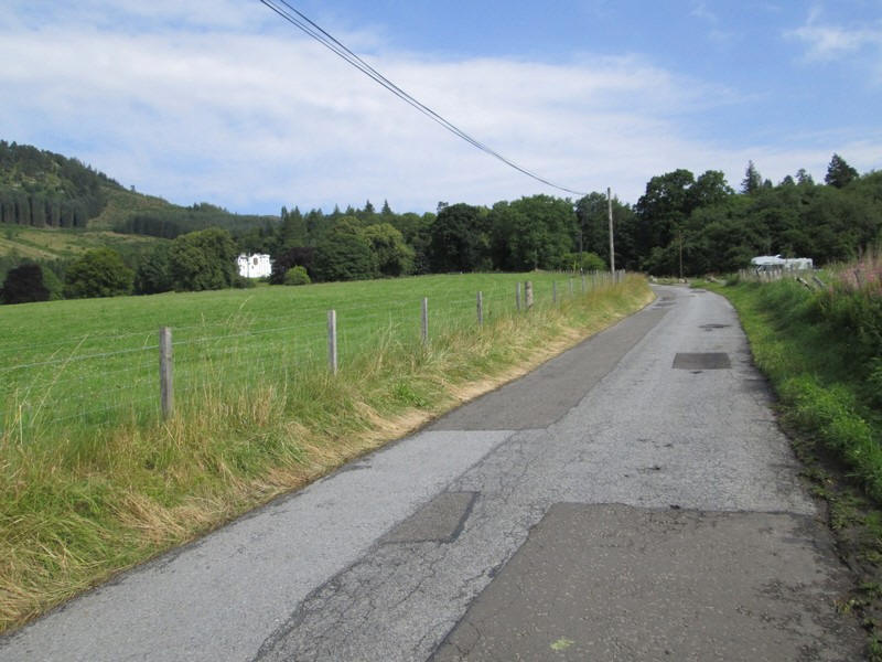
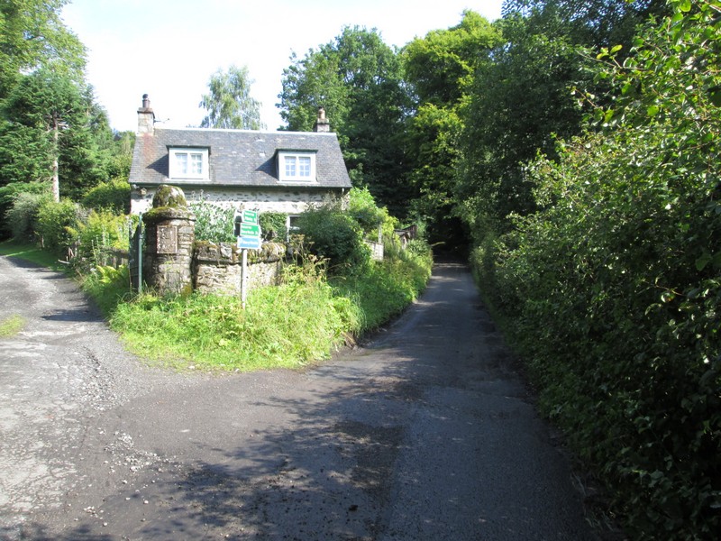
After walking from Pitlochry up the road to Moulin a dead end lane leads to the beginning of the walk at a car park ...
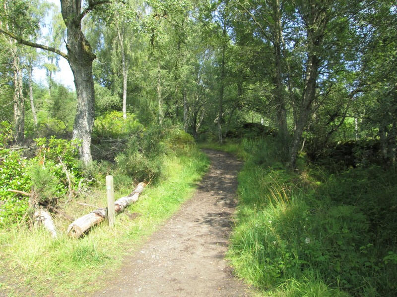
...and then through woods
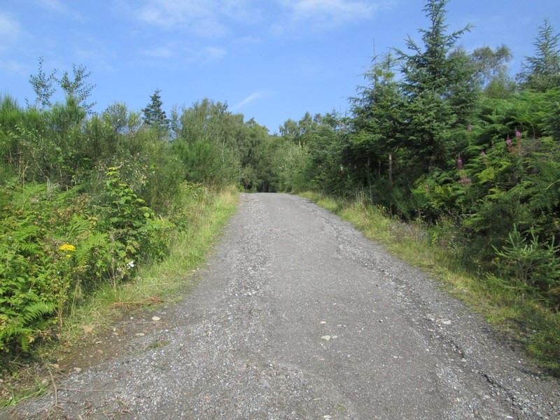
...and along a forest road....
...before a broad path leads uphill to reach...
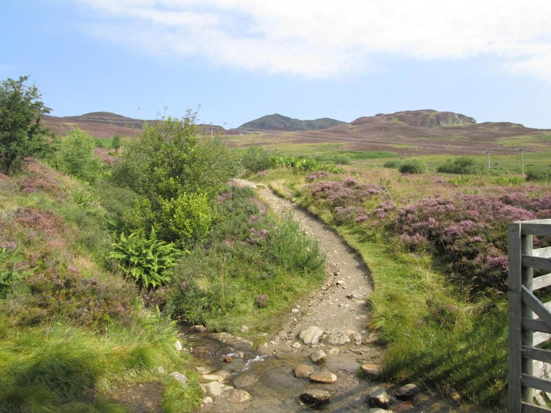
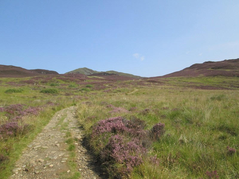
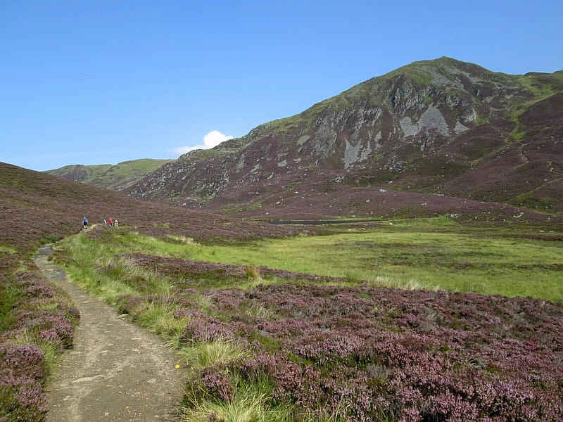
.....the open moorland with the pointed summit of Ben Vrackie seen in the distance.
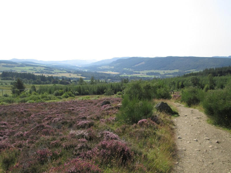
Looking back down into the valley of the River Tummel.
As can be seen the heather was in full bloom and it's hard to believe that the day before had seen such severe weather conditions.
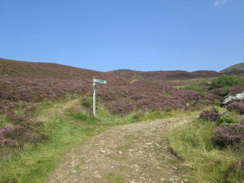
A signposts marks the divergence of the two alternative ways to reach Ben Vrackie, with one going over the bealach directly ahead and the other route, which I took, off to the right.
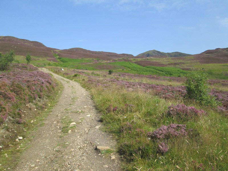
This path climbs to Poll gun Toin .....
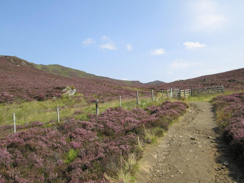
...where a fence is crossed....
...before passing through a low coll...
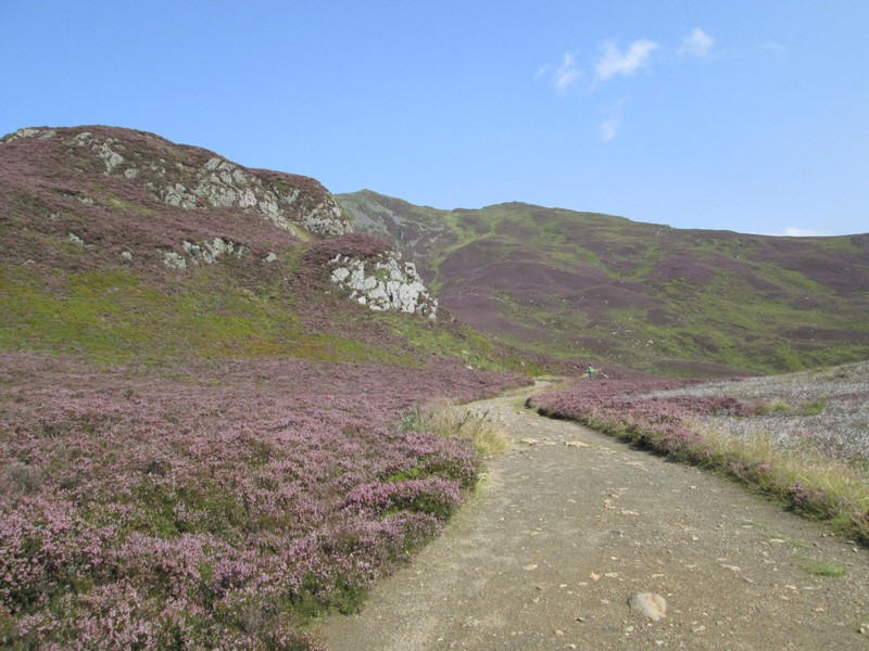
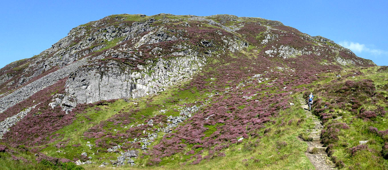
...where the path narrows and twists around the slopes of Meall na h-Aodainn Moire. The steep path up Ben Vrackie looms above!
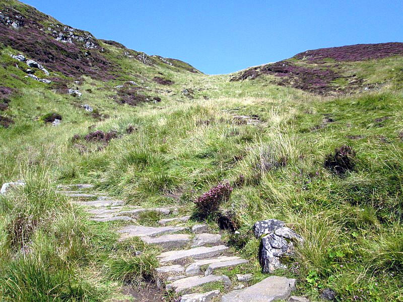
The path drops slightly downhill.....
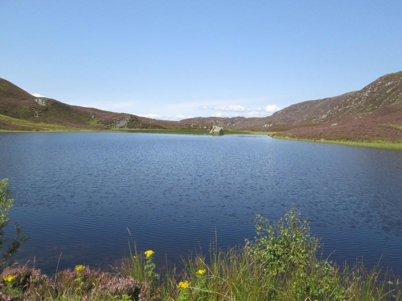
....... to Loch a Choire.
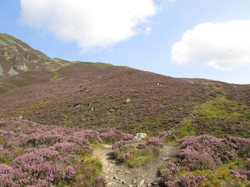
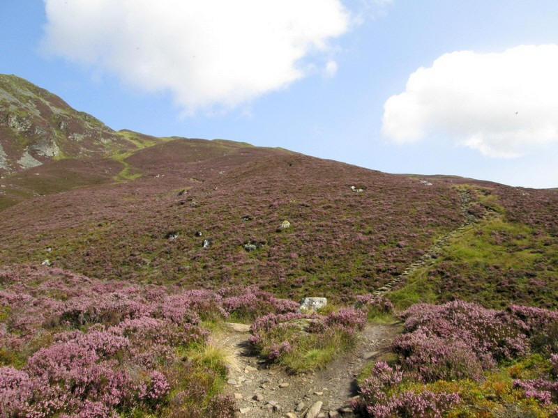
It is here that the hill walk really starts as the climb from this point is 320m of ascent in a path distance of 1120 metres - roughly a gradient of 1 in 3.5. On a hot day with temperatures in the upper 20s Celsius quite demanding.
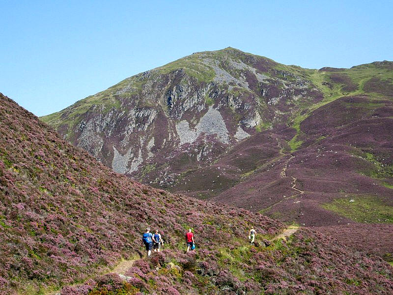
The path climbs up the hillside....
.....passing to the east of the crags below the summit.
Click on the panoramic photo to see a larger image and then click on that image to see the full sized version.
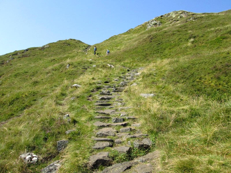
The path heads for the summit ridge with pitch paving virtually the entire way
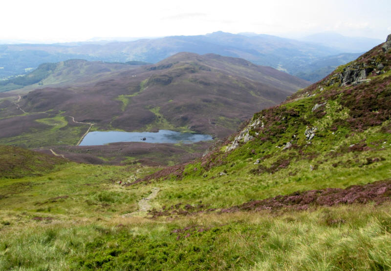
Looking back down to the lochan.
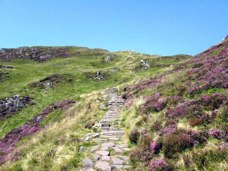
Onwards and upwards.
The path turns and climbs to a slight depression...
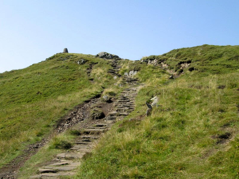
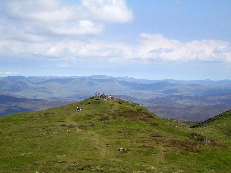
...and the summit cairn reveals itself.....
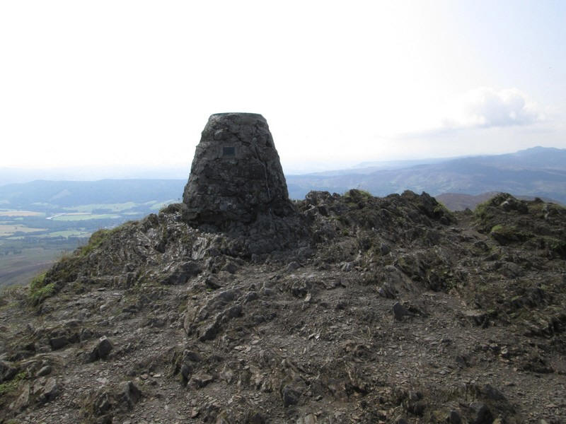
.....as a very solidly constructed structure (841m above sea level). It had taken me about three and a half hours from the centre of Pitlochry.
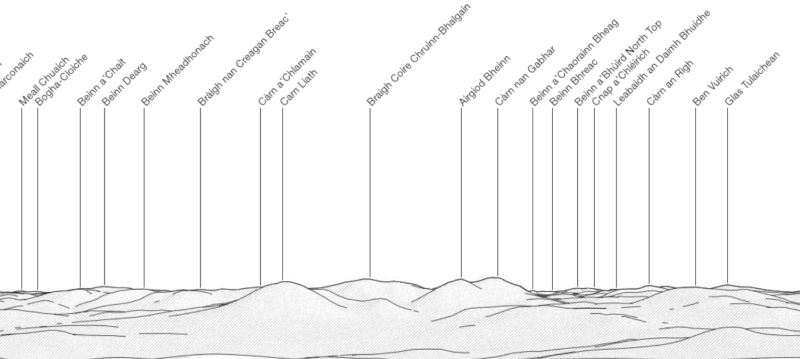

This panoramic photo extends from the Killiecrankie and Blair Atholl area on the left to parts of the Cairngorms on the right (Beinn a' Bhuird is in the far distance on the right).
Prominent in the right half of the photo are the peaks of Beinn a' Ghlo range.
Click on the panoramic photo to see a larger image and then click on that image to see the full sized version.
Looking from the summit to the cairn at the north east end of Ben Vrackie.
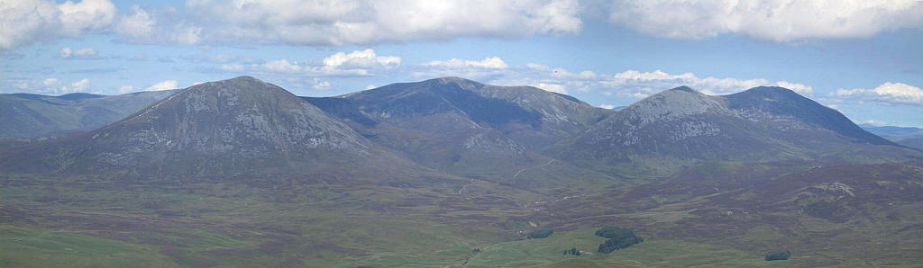
The three Munro summits of Beinn a' Ghlo
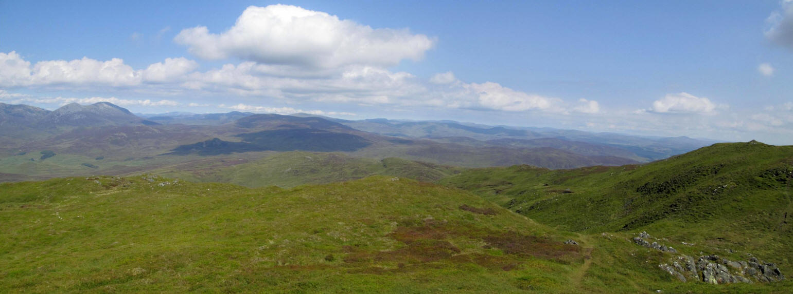
Looking towards the Cairngorms.
Click on the panoramic photo to see a larger image and then click on that image to see the full sized version.