Ben Vuirich
In July 2021 I decided to climb a rather isolated Corbett, Ben Vuiric, starting at Blair Atholl. By walking from there to the normal start of the walk at Loch Moraig about another 6 miles and 223 m of ascent are added to the normal walk . This gives a total distance of just over 20 miles and I estimated I would take about ten hours.
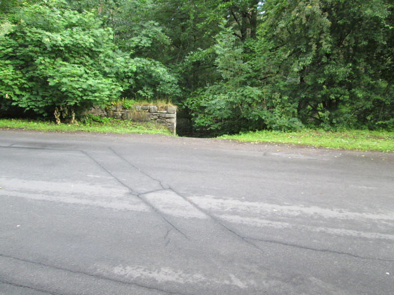
Starting from Blair Atholl station after about a quarter of a mile, and just beyond the river bridge, a set of steps leads down ....
....to a delightful riverside walk through trees. This avoids having to walk along the narrow road to Old Bridge of Tilt.
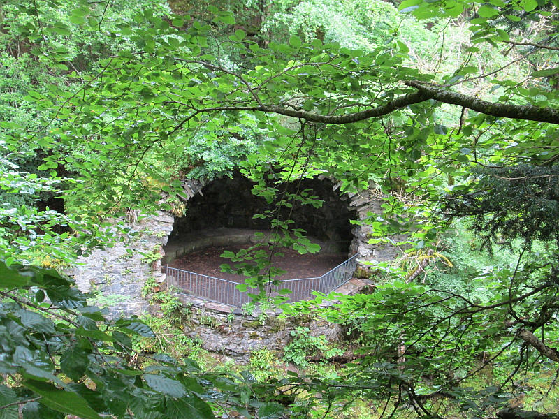
A curiosity across the river is the River Tilt Grotto which is a grade A listed structure overlooking the river at the York Cascade. It was built in 1758 as a viewpoint when part of the gardens at Blair Castle were landscaped. It has a half dome and gothic arches leading to footpaths in the grounds
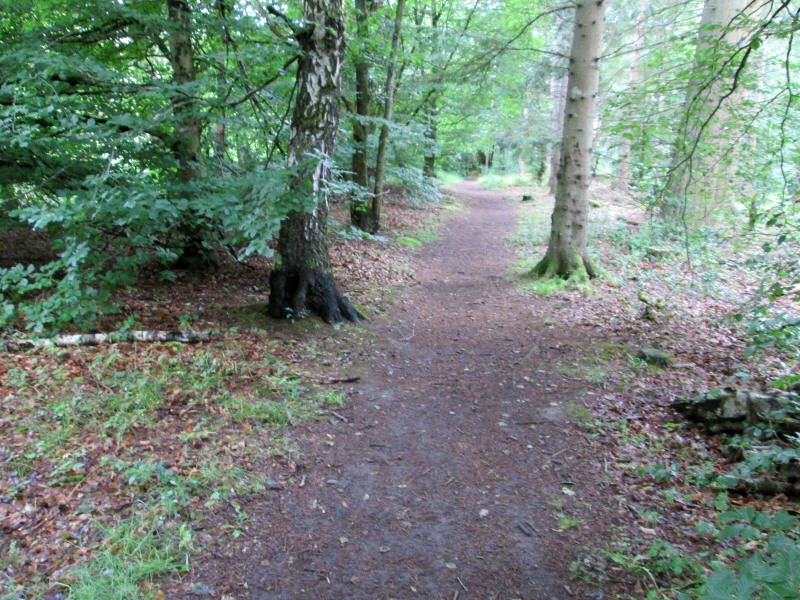
After leaving old Bridge of Tilt the road to Loch Moraig climbs through woods
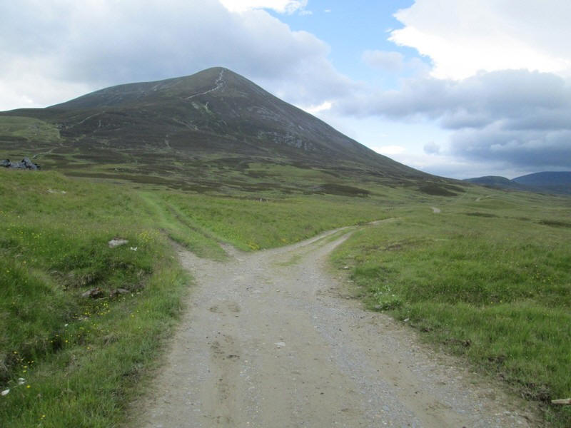
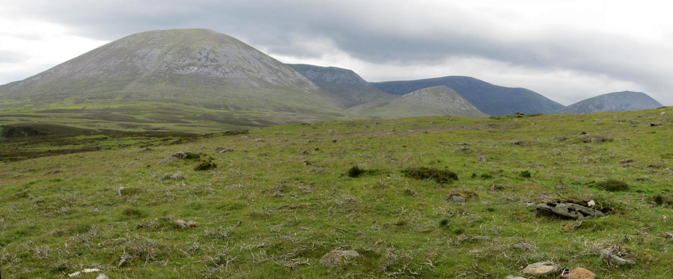
....to reach open farmland and the first view of the Beinn a' Ghlo group of Munros, with Carn Liath visible ahead.
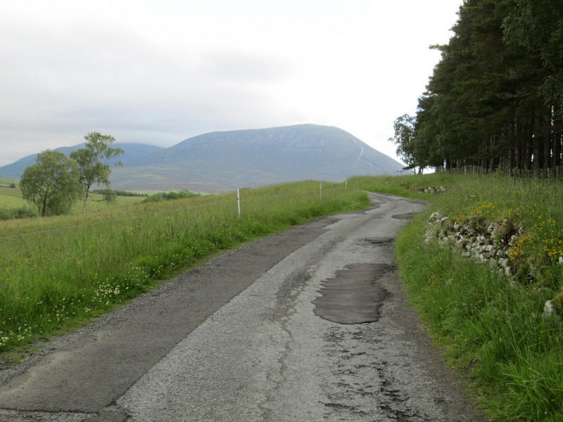
I also get my first view of today's target Ben Vuiric about 7 miles away.
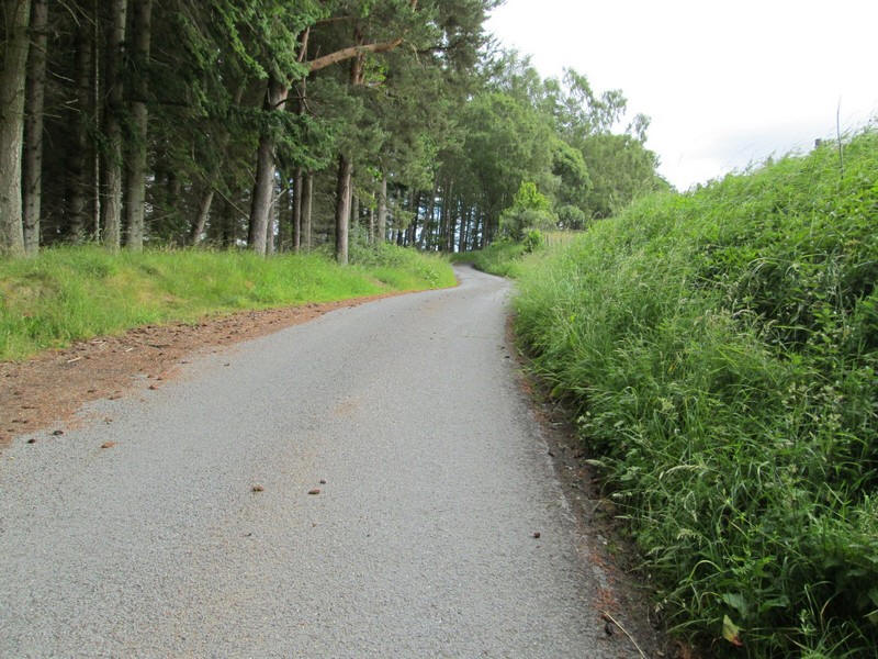
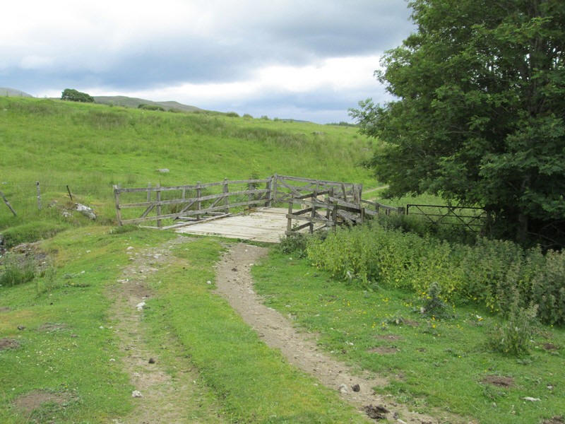
The walk proper starts at the car park by Loch Moraig...
...along the estate road used by walkers to Carn Liath.
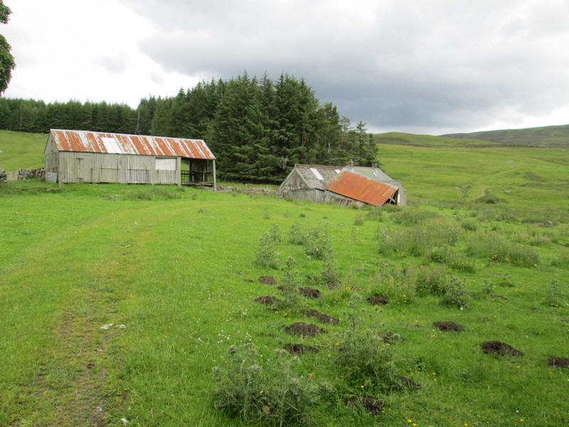
The track to the hill goes off to the left near a collapsed barn.
Eventually the estate road heads downhill slightly to a junction.....
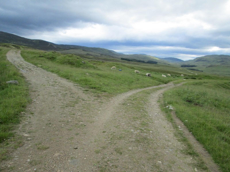
....where there is a choice of route. Going left means climbing the hill clockwise but I've decided to go right down into Glen Girnaig and start the climb from Shinagag.
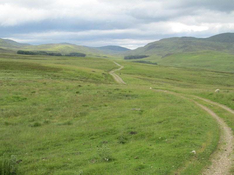
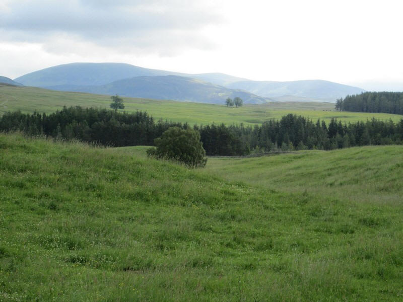
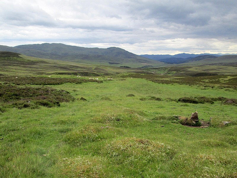
It's a lovely peaceful glen....

...and eventually the derelict farmstead at Shinavag comes into view.
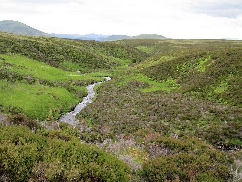
After crossing the Allt Girnaig I make a navigation error.
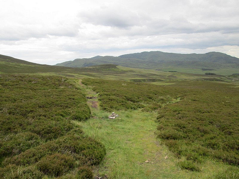
I've forgotten that I need to turn off before Shinavag up a track that goes uphill just before the farm gate.
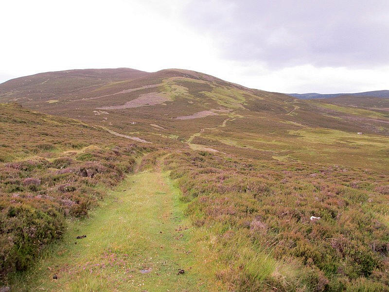
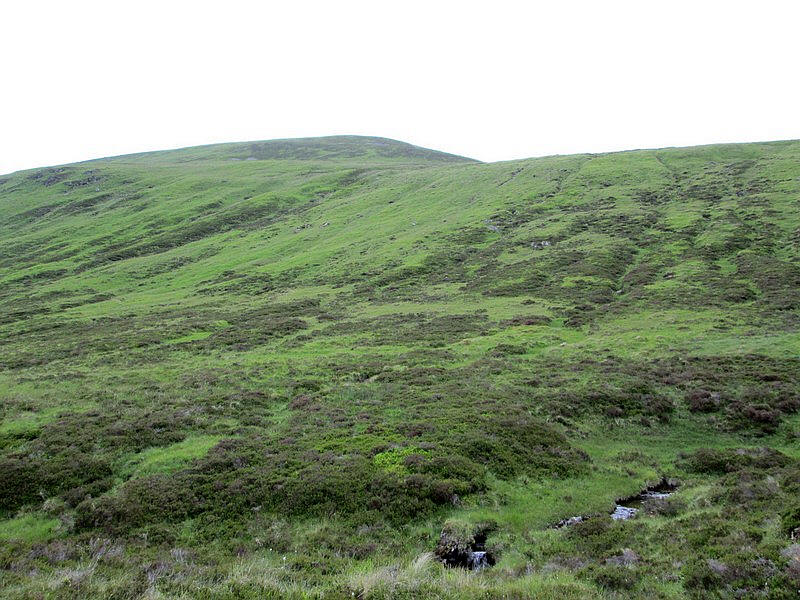
This photo was taken on the return from Ben Vuiric and shows the faint track.
I carry on past the buildings and then realise that....
...I should be above the trees if I want to be on the track I need. So I start climbing through heather and tussocky grass ...

.....to reach the track. I'm a bit annoyed to have made such a simple error.
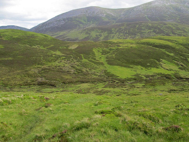
However, the view if the three Munros of Beinnn a' Ghlo cheers me up. Click on the photo to see a larger image.
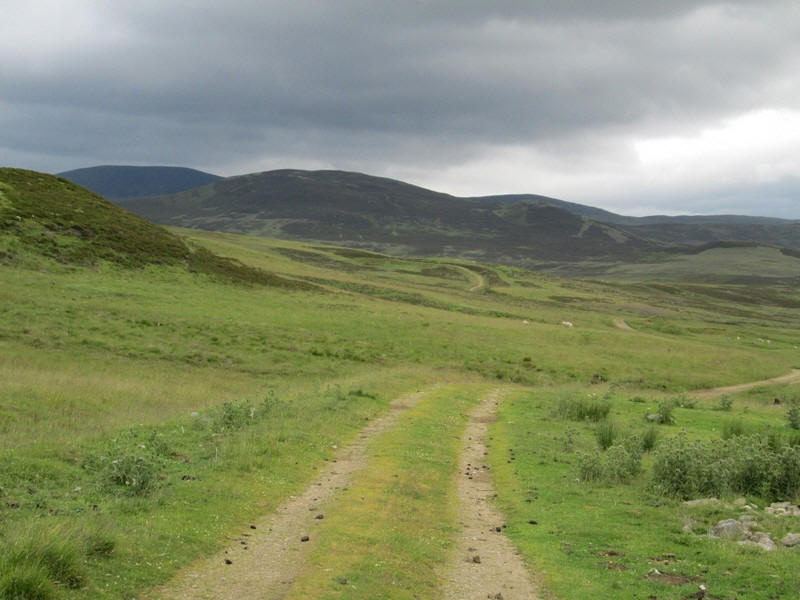
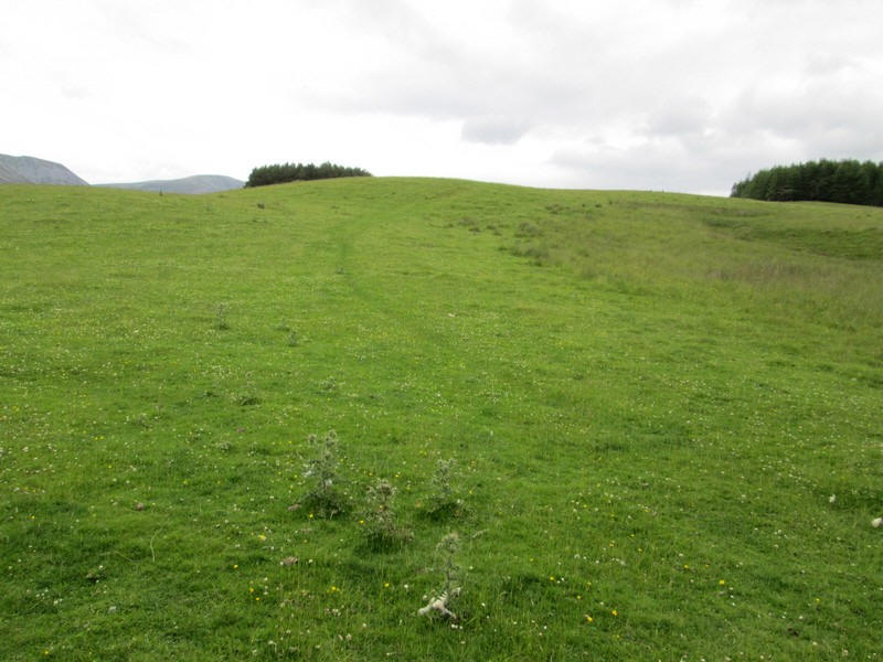
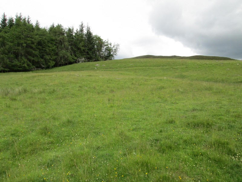
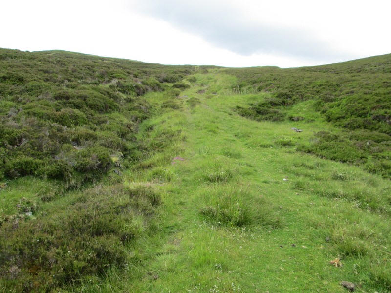
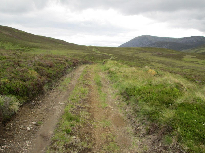
There's now a mile or so on a good track which will take me past the summit of Meall Breac.
Further along the track becomes rougher and as it is 12.30 I decide to have some lunch before starting the really hard work.
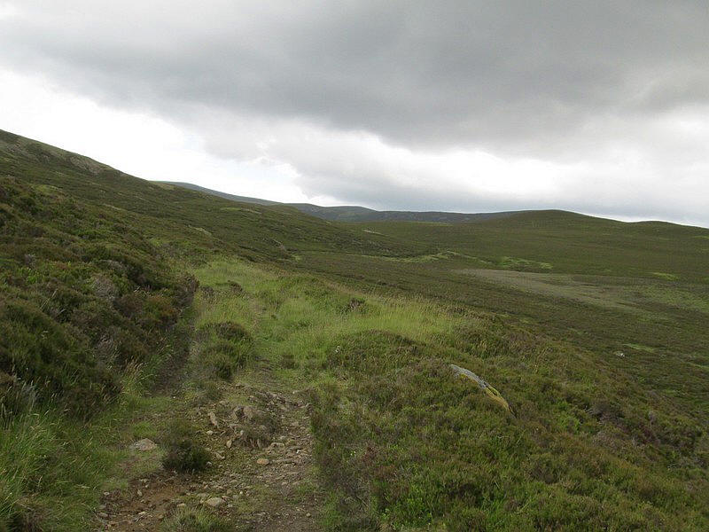
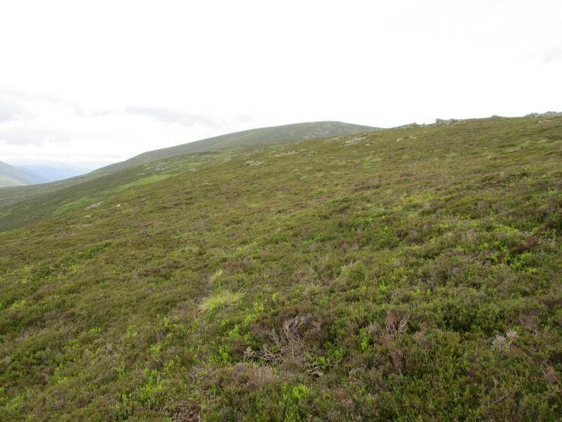
The track becomes fainter as it climbs over the southern shoulder of Meall Breac...

...where I see Coire Buidhe Mor which is between me and the ridge to Ben Vuiric.
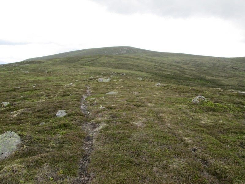
I will be aiming for the summit of Creag nan Gobhar about a mile and a quarter away. There are sections of a fairly indistinct path through the heather at first but...
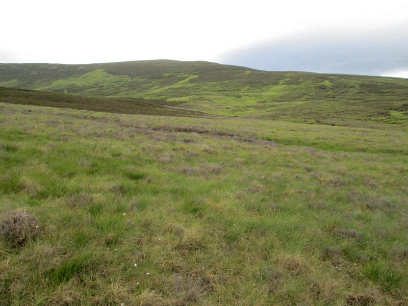
...these die out and from here on until the main ridge is reached there are no tracks.
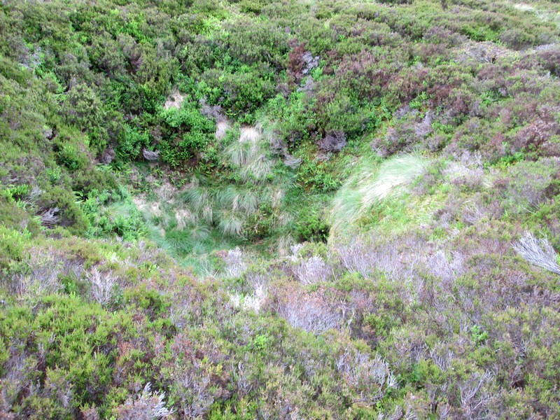
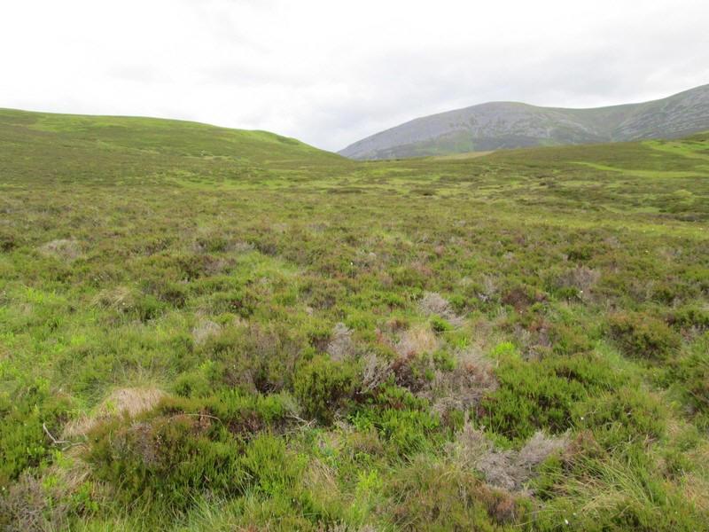
There are some curious depressions in this area, looking rather like sink holes. They are surprisingly deep so I keep an eye open for them as I don't want to fall down any holes in a place as isolated as this.
Rather than going directly uphill to Creag nan Gothar I decide to traverse diagonally up hill to the low point on the skyline - this saves about 30 metres of unnecessary ascent and descent.
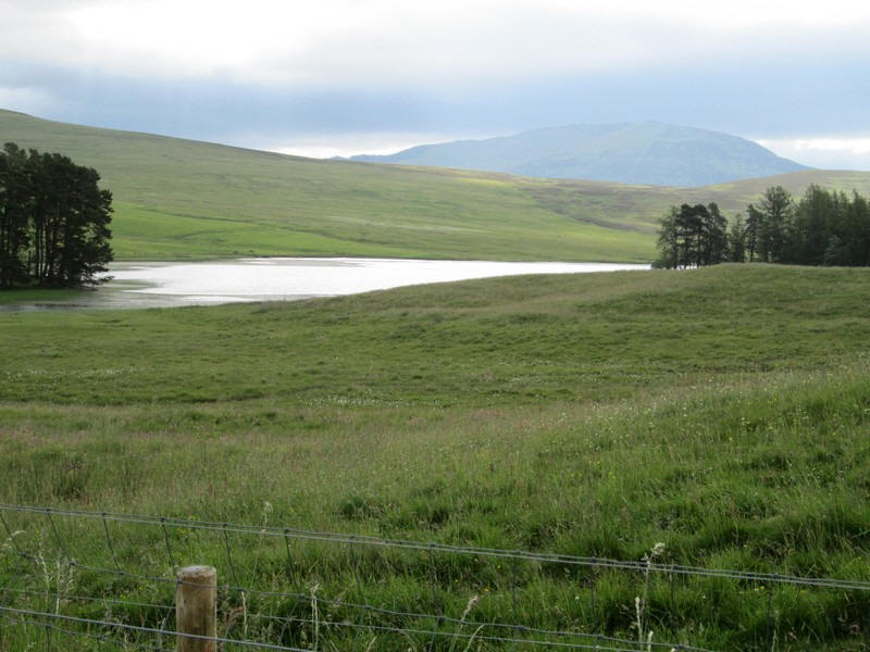
Looking downhill across to Loch Valigan
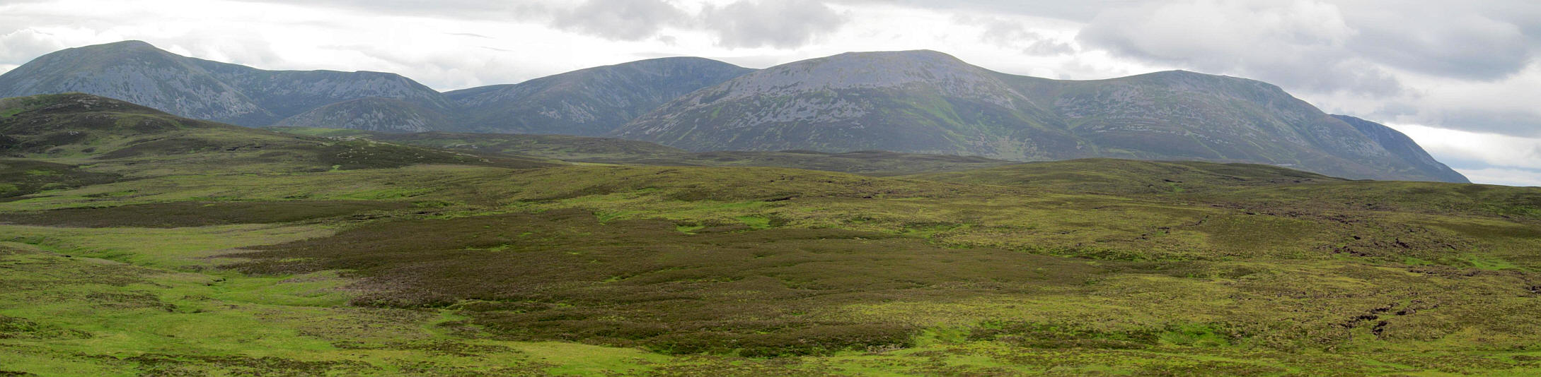
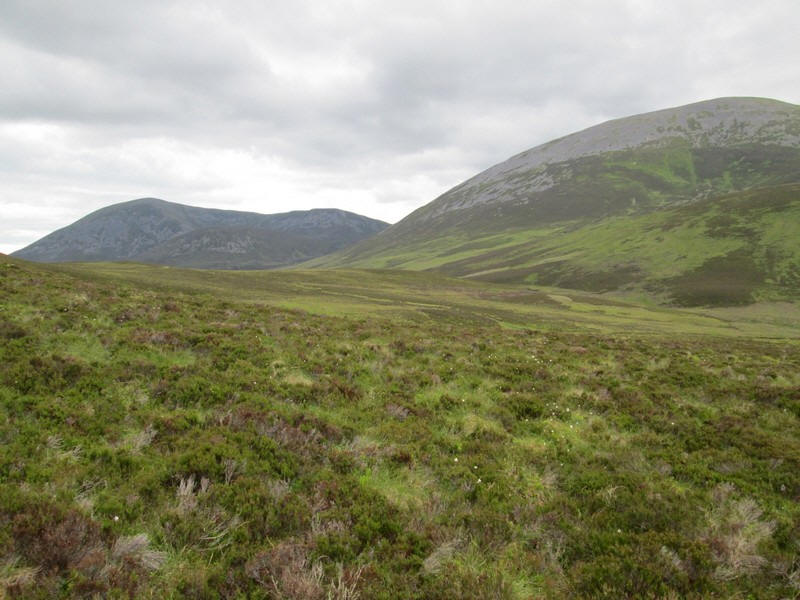
Looking across to Beinn a' Ghlo and the summits of Carn Liath (975m), Braigh Coire Chruinn-bhalgain (1070m), Carn na Gabhar (1121m). It is about 5 miles from one end of the image ot the other. Click on the photo to see a larger image.
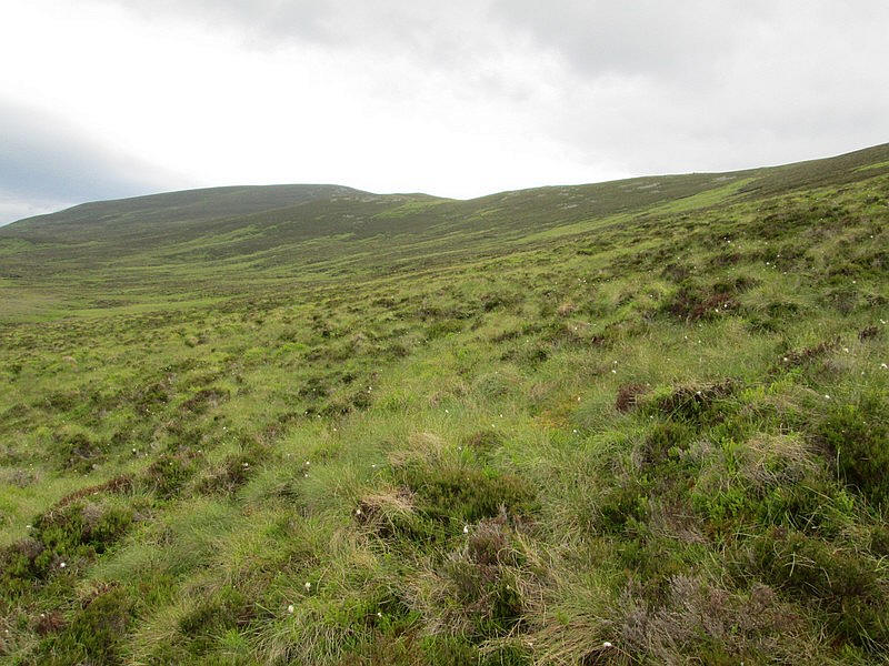
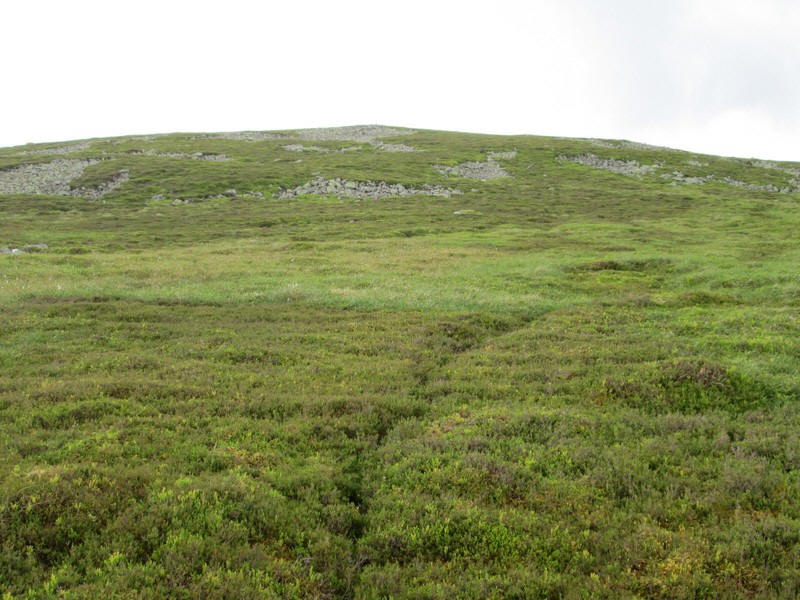
Much of this walk is heather-bashing although it wasn't very deep and here I'm almost on the main ridge.
As expected there is a path along much of the main ridge.
As the track rises there are some rocky sections...
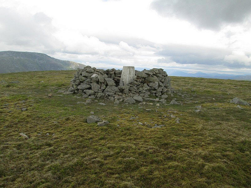
...before the trig point and shelter are reached. It has taken me about five and a half hours from Blair Atholl, about half an hour longer than expected.
Looking west the views are extensive with Ben Lawers and Schiehallion in the left half of the photo
To the east the sun is lighting up Carn an Righ and Beinnn Iutharn Mhor.
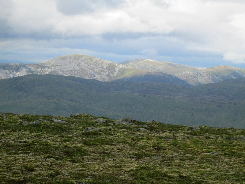
Looking north to the Cairngorms.
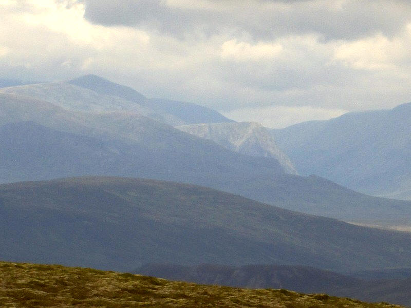
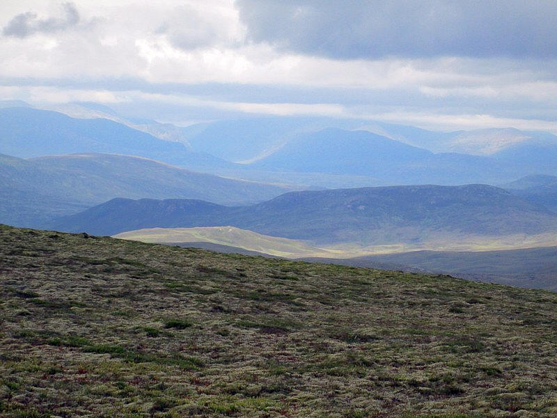
A zoomed in image showing Cairn Toul on the left and the slopes of Ben Macdui on the right.

After a second lunch it's time to drop down about 1000 feet to the Allt Nead an Eoin.

It isn't too dificult with just more heather and tussocky grass to cross.
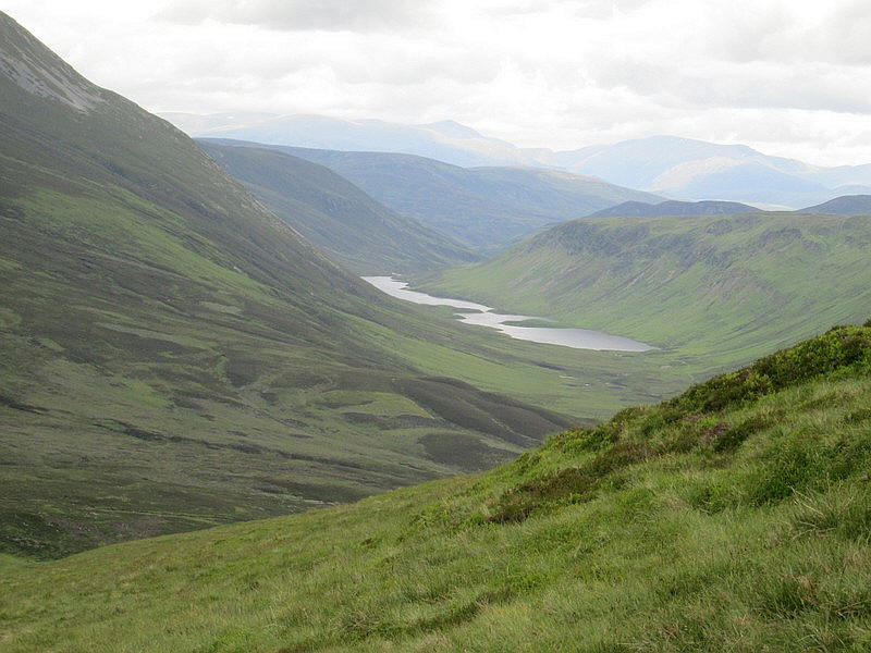
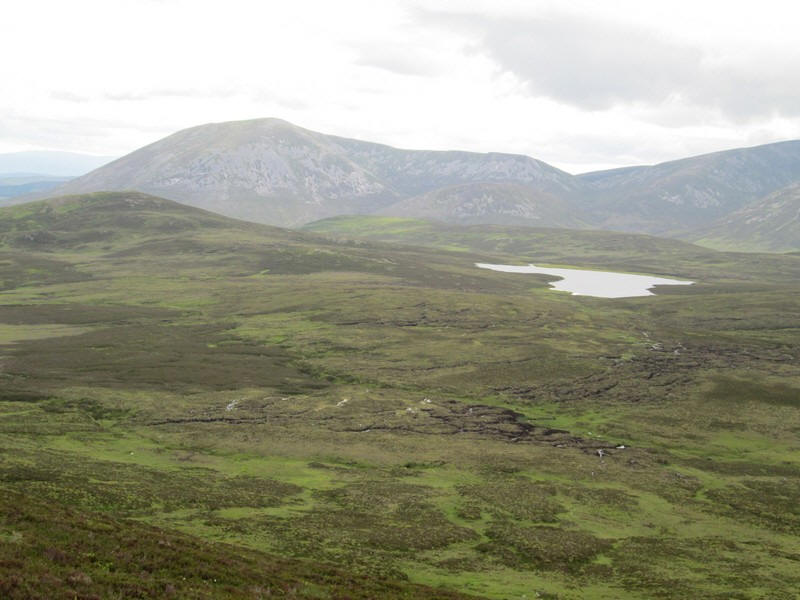
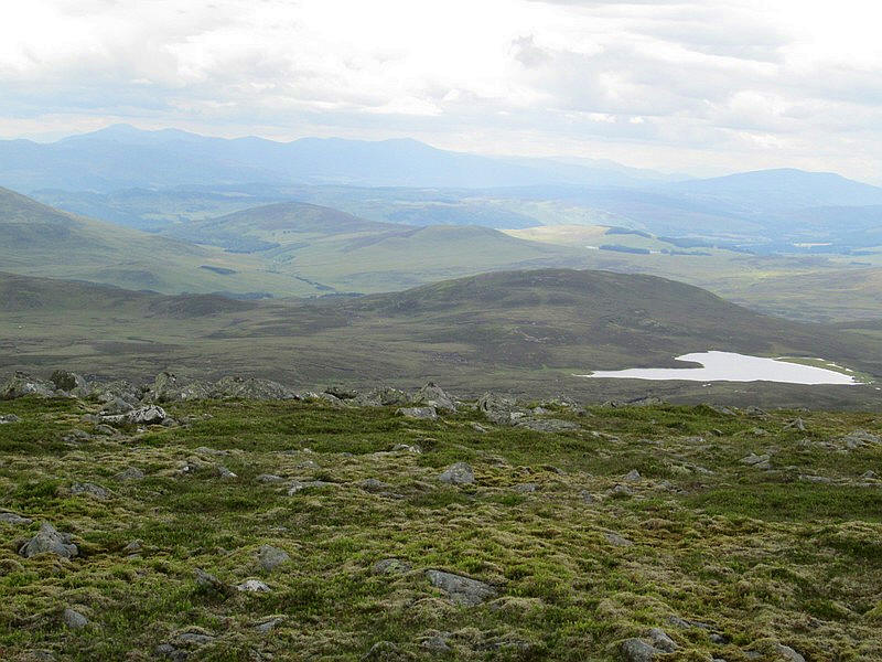
Over in Glen Loch is the curiously named Loch Loch.
In the distance is the low point of the Lairig Ghru with Braeriach and Cairn Toul on the left and Ben Macdui to the right.
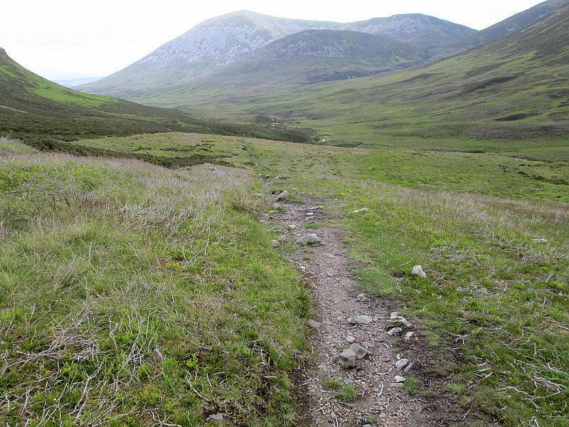
I'm now aiming for the low point by the stream before climbing up over the shoulder of Stac nam Bodach to reach the glen track which will take me back to the start of the walk.
After crossing the stream this is the view looking up to Ben Vuirich.
Crossing the shoulder of Stac nam Bodach...
.....before dropping down into Glen Girnaig...
...and the estate road.
This eventually turns into a footpath..

...which rises higher up the hill side above the river.
At this cairn there is a choice of routes. The right hand drops down to a ford over the Allt Girnaig whilst the left goes to Shinagag. I decide to avoid the ford which in hindsight was a mistake ....
....as the path to Shinagag became very indistinct and then disappears, meaning more time consuming heather bashing and...
.....the need to cross a stream anyway!
After a rather dispiriting section across tussocky grass I ...
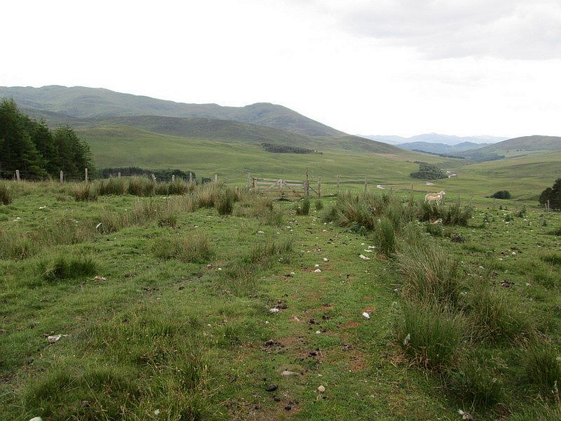
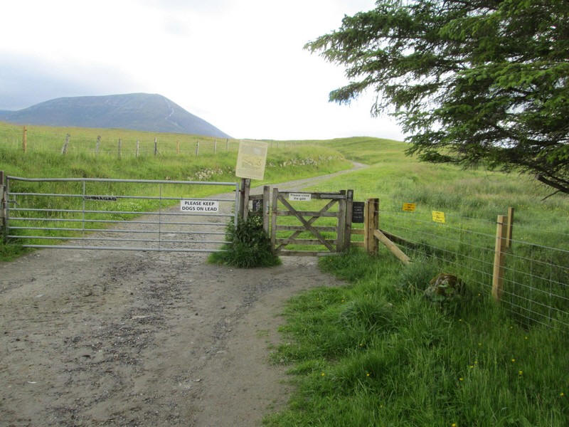
...aimed for the top of the trees above Shinagag and this gate with the track.....

...leading down to the main estate road.
I'm now running about an hour later than expected but to my delight when I arrive at the car park at Loch Moraig I'm offered a lift back to Blair Atholl.
The walk return from the car park at Loch Moraig had taken eight hours and twenty minutes which was only slightly longer than the suggested times many guidebooks suggest for this walk.