Ben Wyvis
The way points are taken from my SPOT GPS transmitter
Most walkers start the climb to Ben Wyvis (It's pronounced as Ben Wivis) from the Garve to Ullapool road at Garbat but following my "use public transport" methods I decided to walk up from Garve. Some bus drivers might be prepared to drop you off but others won't
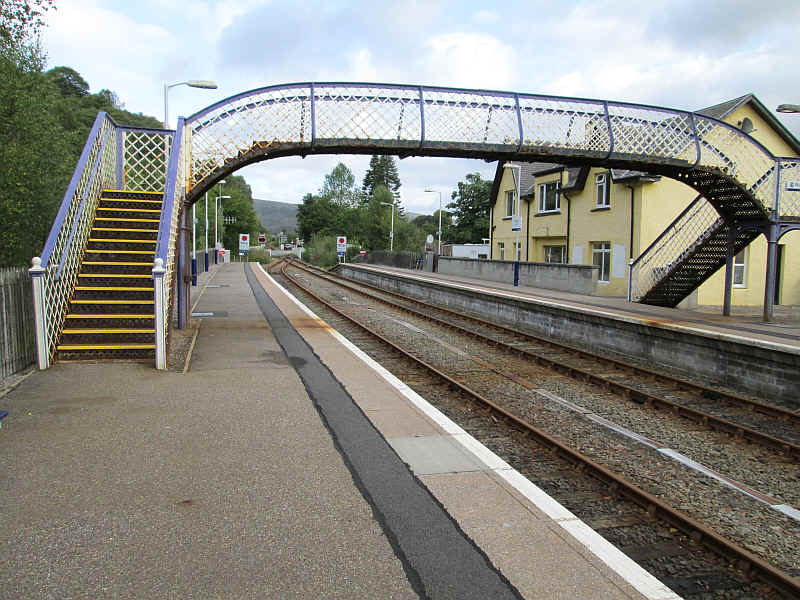
I'd actually stayed overnight in Garve but my walk started by crossing the old Highland Railway footbridge at Garve station.
From the station approach road the walk goes past some house with the 946 m high summit of An Cabar in view. This is the summit at the south west end of Ben Wyvis; the true summit is not visible until you reach An Cabar.
The lane goes across the bridge over the..
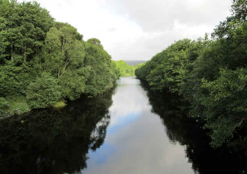
...Blackwater River.
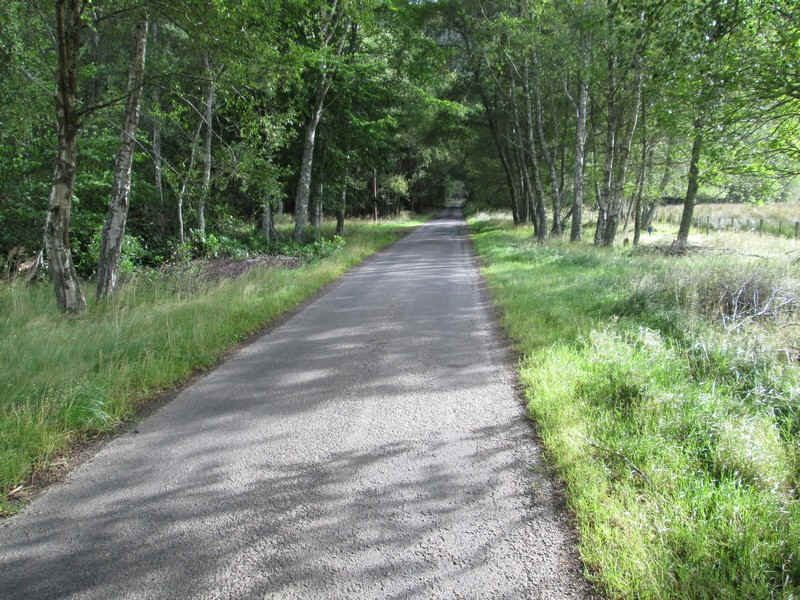
and through woodland...
....to a junction and then north west along a farm lane.
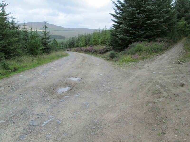
This is followed for a short distance until a forest road comes in from the north east.
There is now a pleasant walk for about two kilometres through either cleared areas of forest or woodland as...
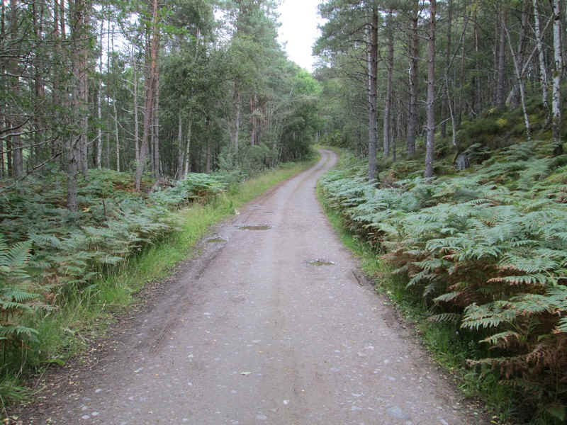
...the track climbs gently towards Torr Breac.
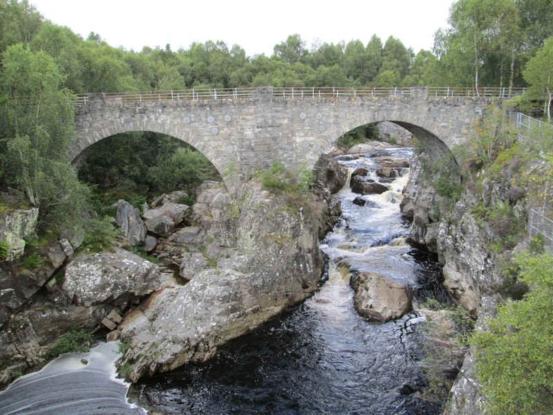
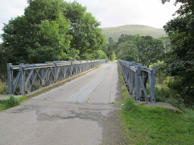
There's a drop down to the main road and this marvellous bridge across the Blackwater on the old road.
To start off with it's possible to use the old road...
...through colonising birch trees...
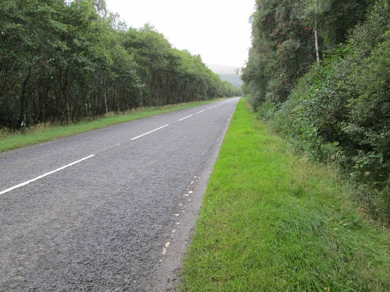
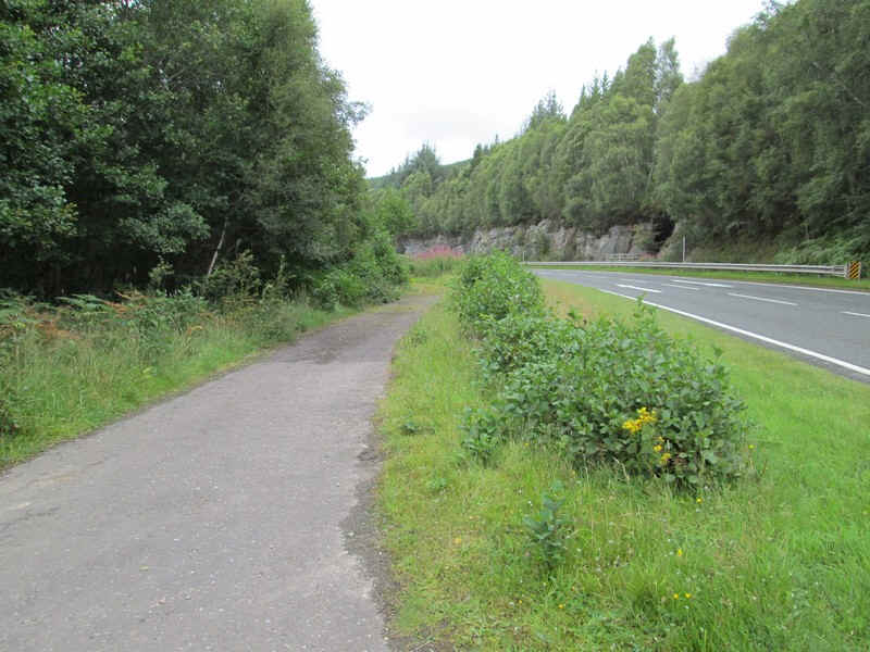
....but quite soon this runs out and you need to walk along the verges of the A 835 for just over a mile.
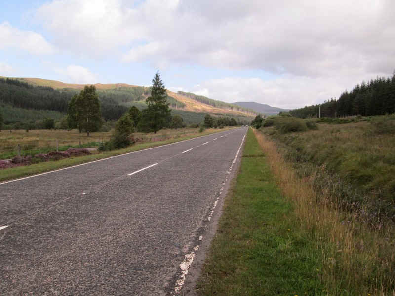
The views get better and the road isn't especially busy and the verges are wide and easy to walk on.
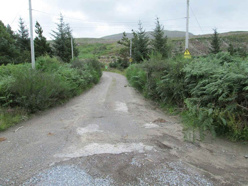
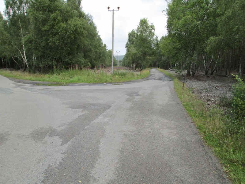
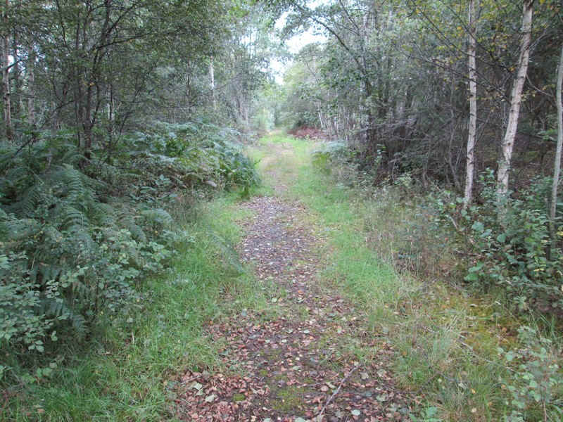
at NH 4031 6609 another forest road comes in from the north east and this is followed..
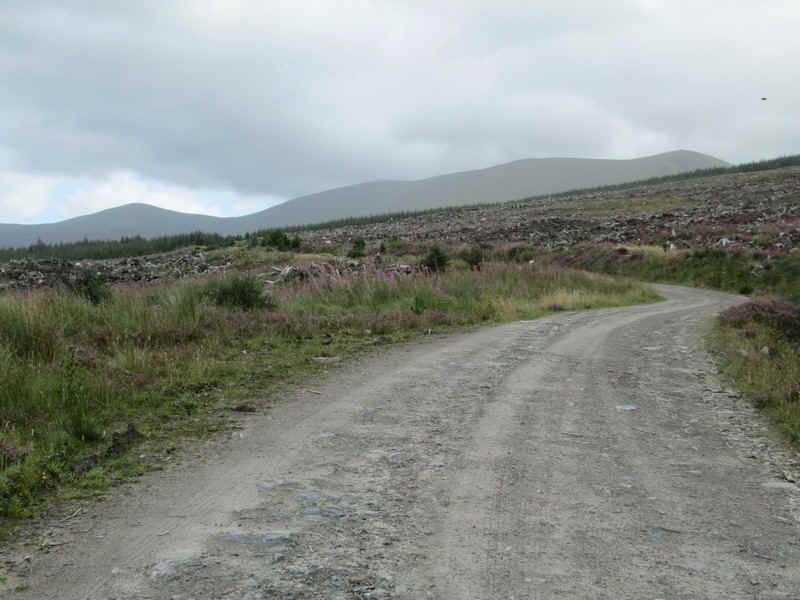
...across a desolate cleared area..
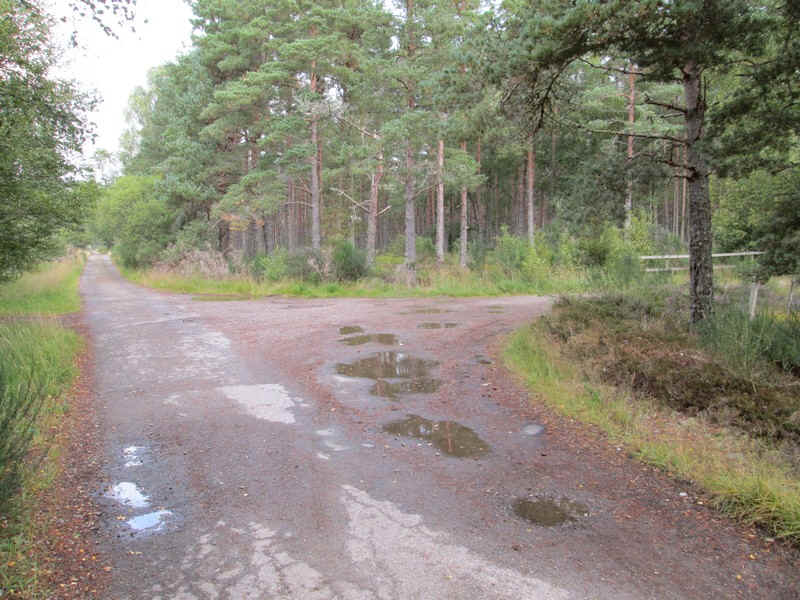
...before reaching a junction where the main track leads off downhill...
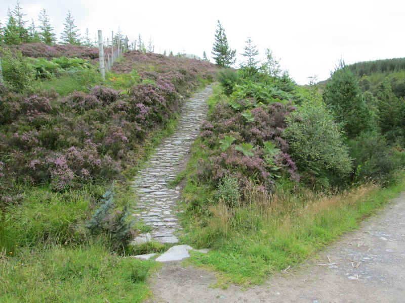
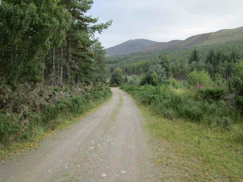
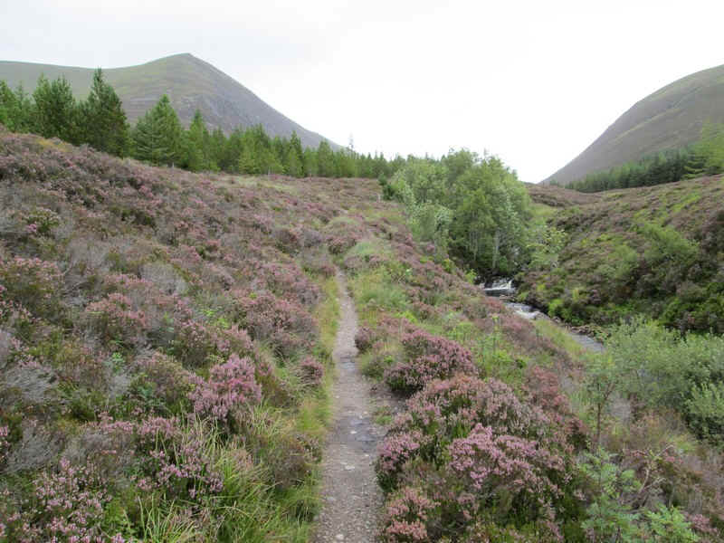
.....to cross the Allt a' Bhealaich Mhor and the main path up to Ben Wyvis. To get to this point from Garve had taken just under 2 hours for about 5 miles
The path is excellent and climbs by a deer fence through heath..
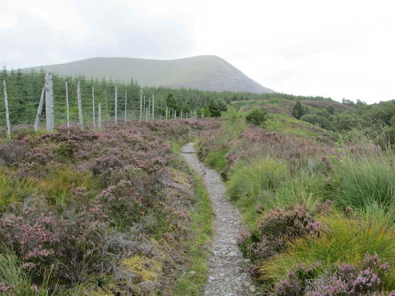
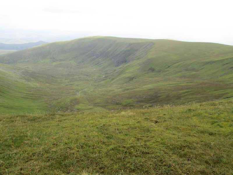
...an bracken - this view is looking back down towards Garbat.
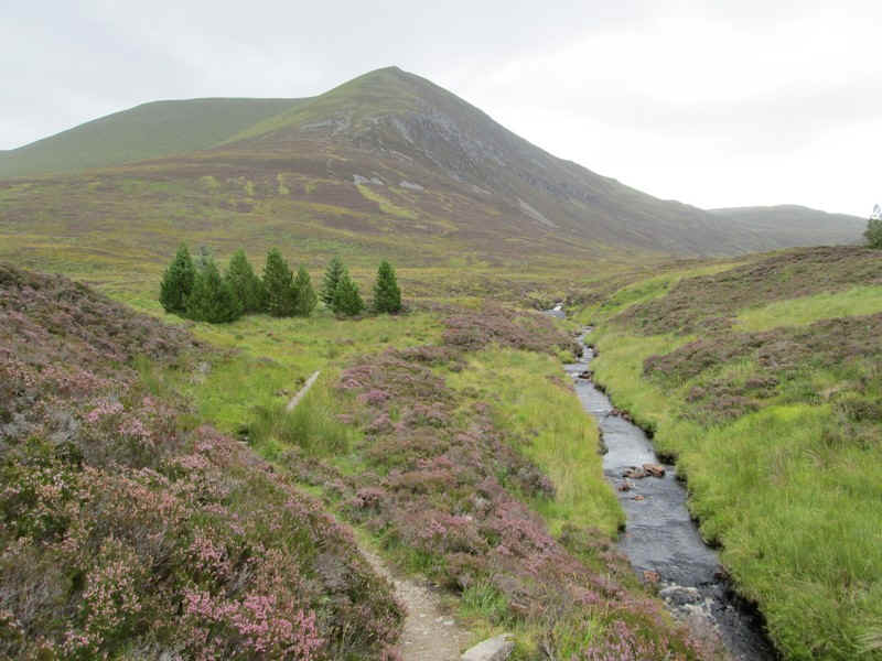
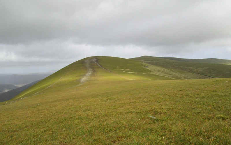
On the left is Ben Wyvis whilst over to the right are the slopes of Little Wyvis, a Corbett, and in between is the Bealach Mor (the Big Col).
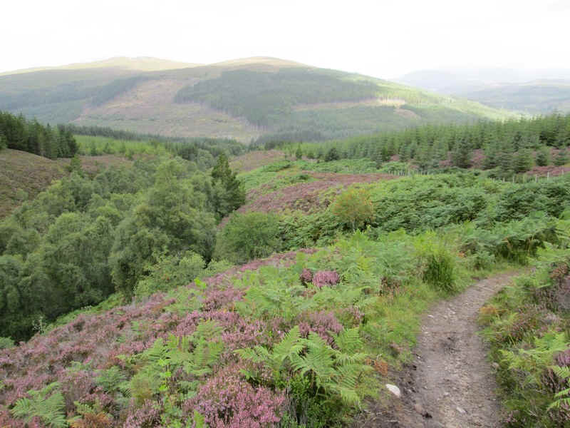
The path flattens out as it reaches the bealach and the end of the plantation....
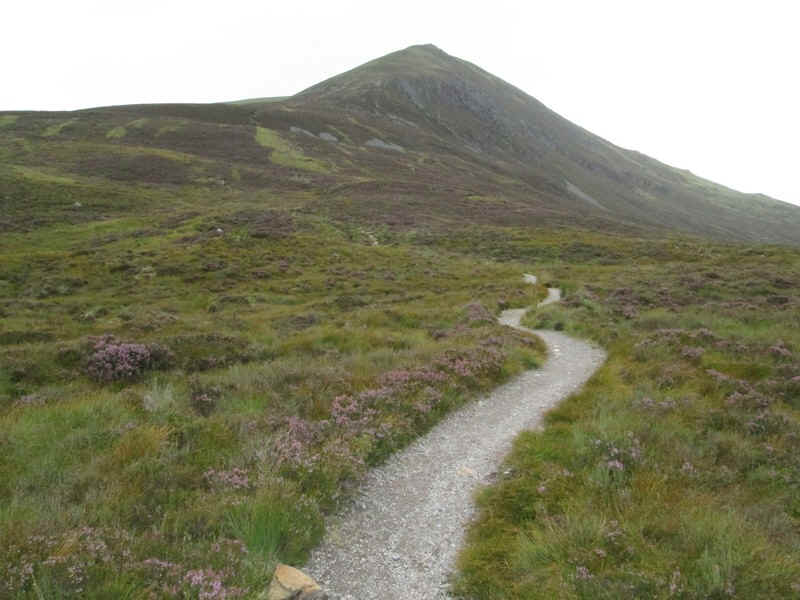
.....and then starts to climb towards the nose of An Cabar.
It was at this point that I began to meet walkers who had obviously intended to climb to the summit of Ben Wyvis but had given up. MWIS and the Met Office had been forecasting winds of 50-60 mph and clearly mobility was going to be an issue on the top. It was suggested to me several times that it would be too difficult to go further than the summit of An Cabar.
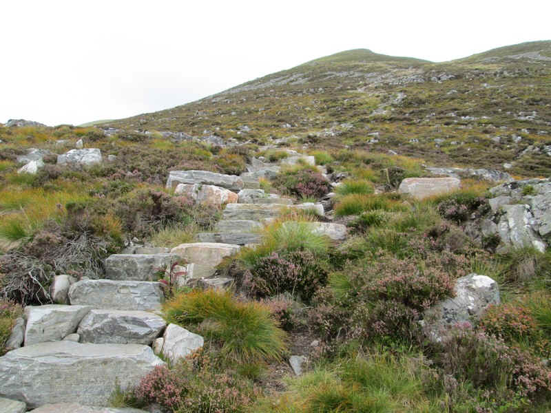
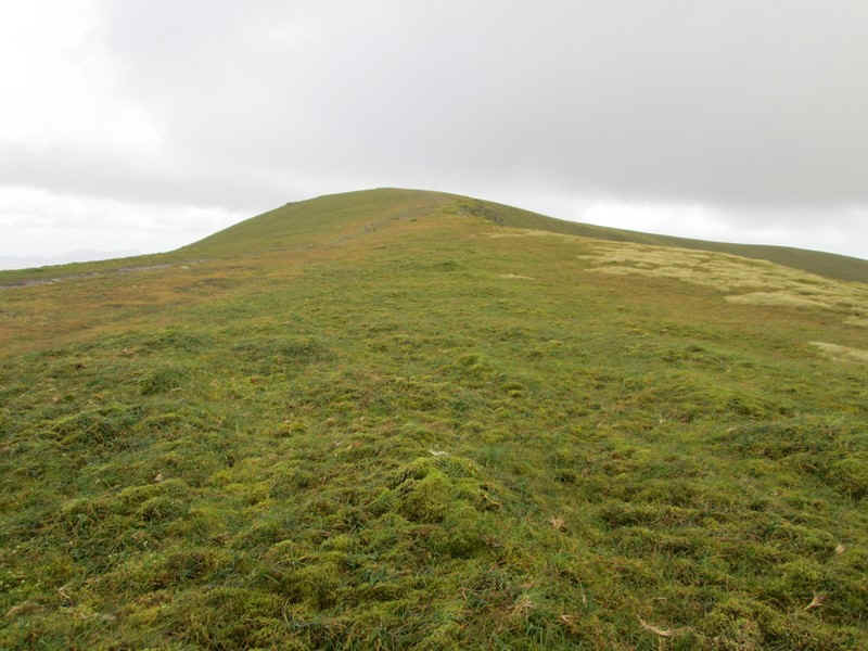
The path has been seriously reconstructed and is certainly one of the best I've ever climbed......
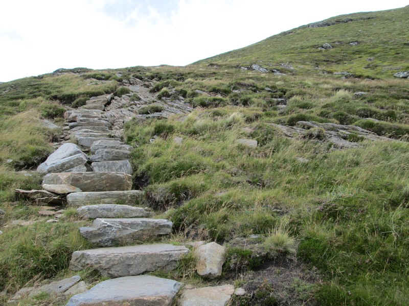
...... - far better than the pitched paving in the Lake District for example.
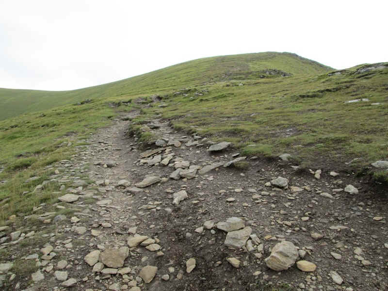
Eventually the gradient eased but the wind got seriously violent.
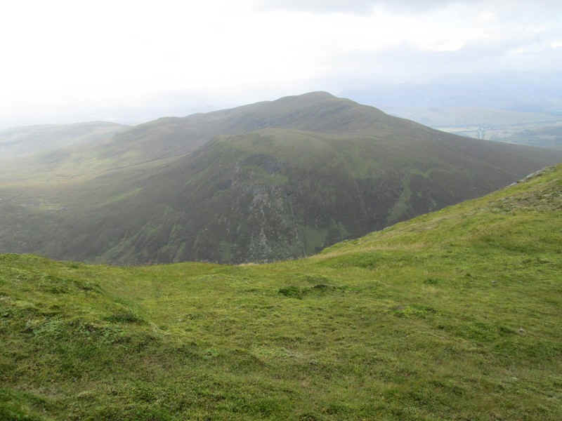
Across the bealach is Little Wyvis.
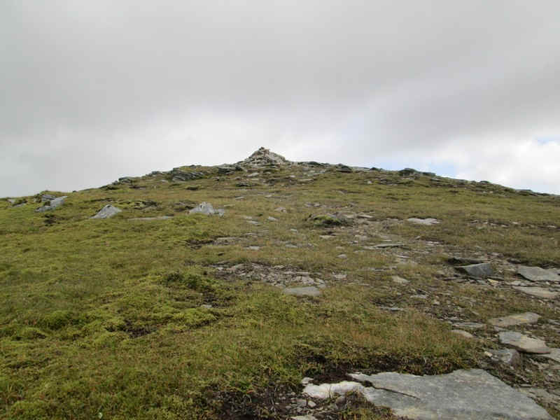
This view of the cairn on An Cabar gives no indication of how difficult it was to walk at this point. I sat down to take some of these photographs!
However, the view on to the summit of Ben Wyvis was clear and I decided I would attempt to get there. Although I wasn't able to walk in a straight line at least the wind speed proved to be slightly lower if I walked away from the path and down towards the eastern (lee) side. In fact at one point in a hollow it was calm enough to sit down and eat my lunch.
The ridge walk undulates gently and must be superb in calm sunny weather. Just before the summit the cliffs leading down into the corrie on the eastern side of the hill presented the only real danger. I kept well away to avoid become airborne....
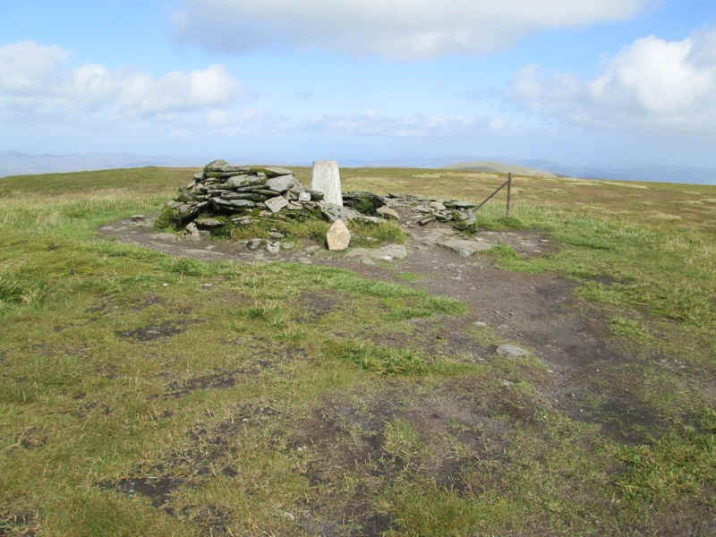
I reached Glas Leathard Mor's summit cairn at 1046m 4 hours 25 minutes after leaving Garve including my lunch break and exactly at time I had predicted .
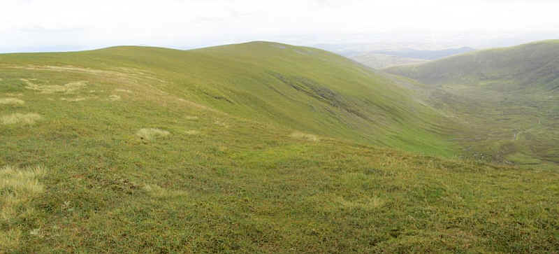
The view from the summit looking along the south east ridge of Ben Wyvis to An t-Socach
Coire na Feola.
On the way along the ridge the wind speed picked up noticeably and at one point on the summit of An Cabar I took the precaution of sitting down to avoid being blown over as some gusts tore across the hill - exciting!!
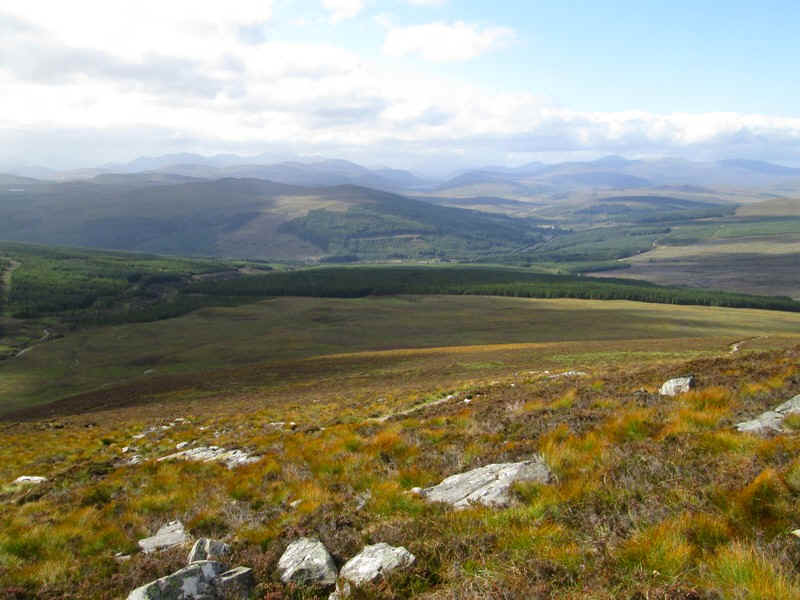
On the way down the sun came out and presented me with this view looking north west towards Loch Glascarnoch on the road to Ullapool.
My return to Garve was not without incident. Finding a comfortable boulder to sit on I removed my waterproof over-trousers, stuffed them in my rucksack and set off without my treking poles. Half an hour later I realised I hadn't got them. A hasty retreat back up the path found them lying in the heather but it meant over an extra hour's walk and several hundred more feet of ascent than planned.
As a result the return walk took nearly five hours rather than the three and three quarters I'd expected.