Carn a' Chuilinn
I climbed Carn a Chuilinn in early September 2021 travelling from Fort William to Fort Augustus by bus.
The map below shows my route taken from my SPOT personal tracker.
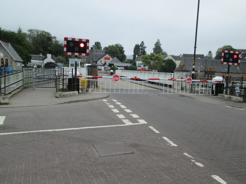
As I approached the swing bridge over the Caledonian Canal the road was closed.....
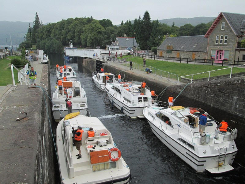
.....so I headed up the tow path to cross the canal at the second lock gate. Six cruisers are ready to head off into Loch Ness, which can be seen over to the far left.
The first 45 minutes of the walk involves walking along the B862 although most of this can be avoided by walking along footpaths that parallel the road.
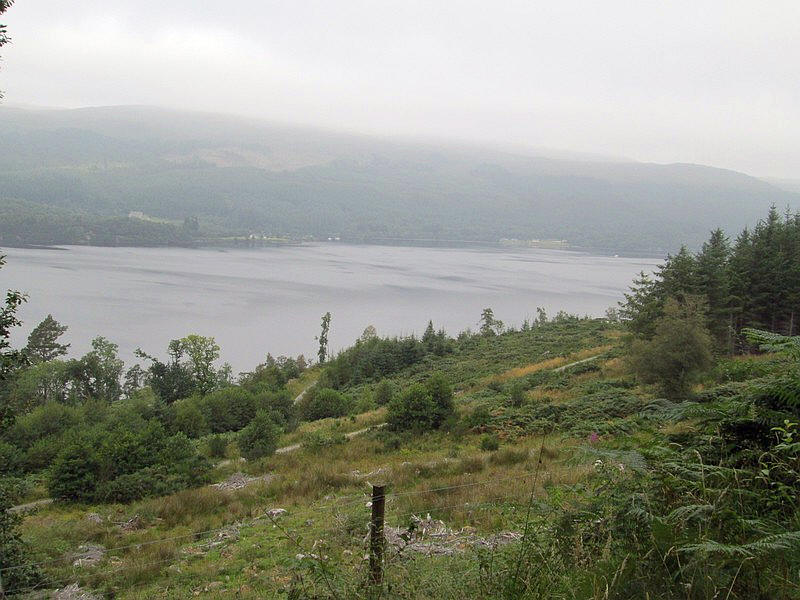
The first section is across a meadow....
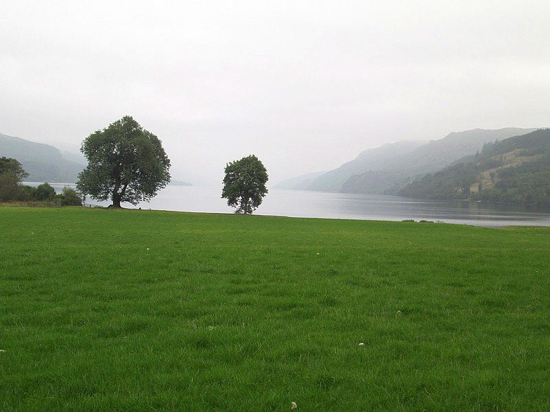
.....that leads down to Loch Ness.
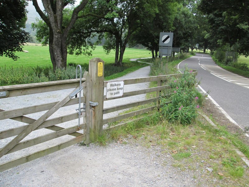
After a short distance it is necessary to go through this gate and onto the road....
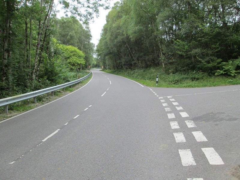
....but fortunately the B862 has a good verge on one side.
At the top of the first hill a cycle way crosses the road and there is a path beyond the gate which walkers can use for the next section of the walk.
However, at this stage I wasn't aware where this relatively new path went so I continued along the road - this path isn't shown on the OS 1:25000 maps yet although it is on the OS base map and is visible on Google maps aerial view.
From the road there are increasingly good view over Loch Ness....
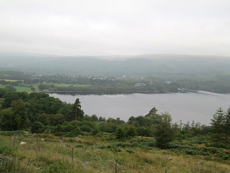
...and Fort Augustus.
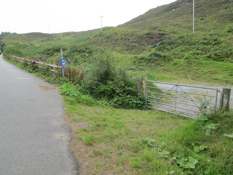
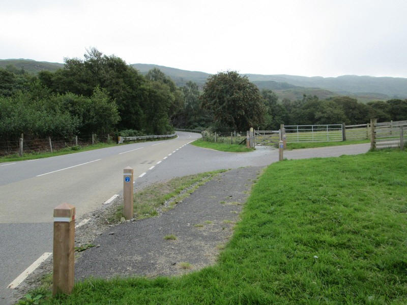
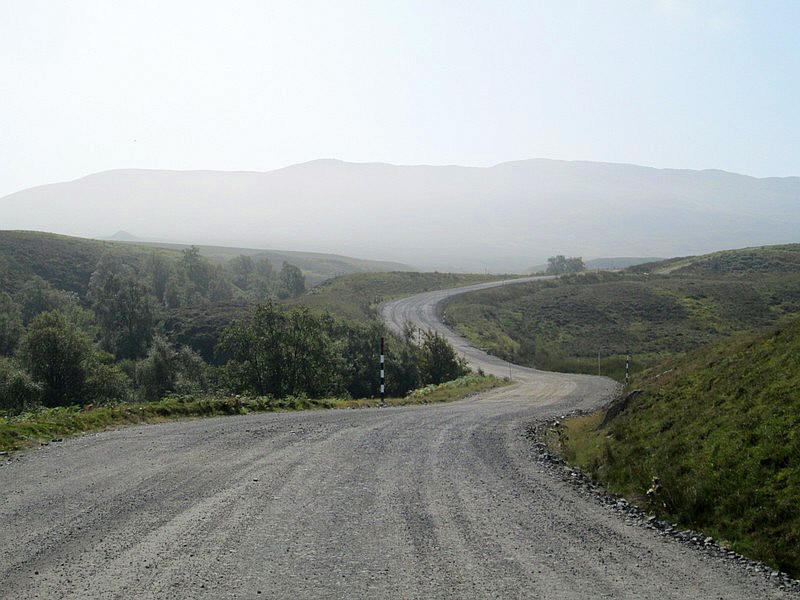
At NK 396 088 there is a layby with a gate leading onto that new path.
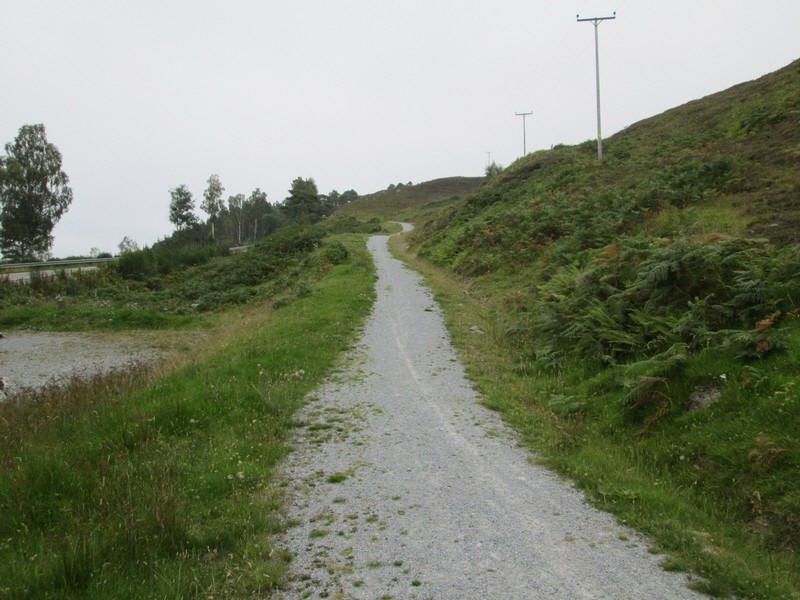
It was built during the construction work for the new wind farm in the Monadliath hills
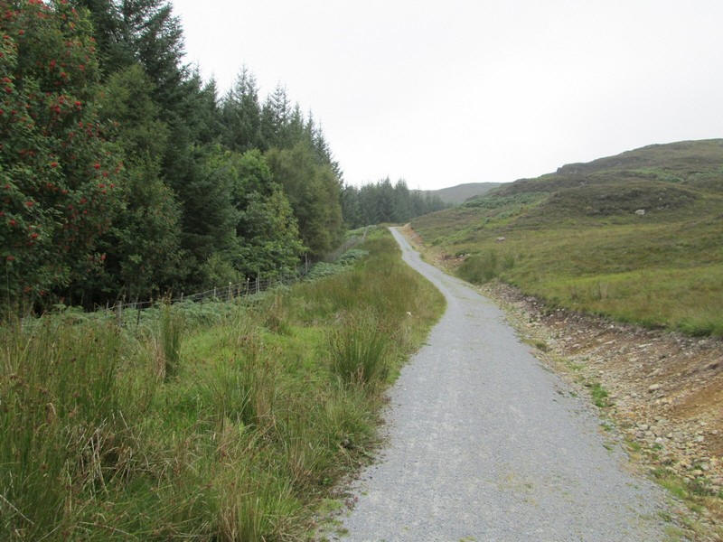
The path runs along the hedge of a plantation...
.....before reaching a gate in a deer fence...
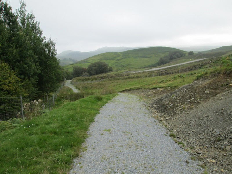
.....and then dropping to the hydro/ wind farm road.

This is truly horrid but at least it allows walkers to get to the hill quickly and easily. There was some vehicle traffic (4 wheel drive vehicles) along the road which raised clouds of dusks given the dry conditions.
The road comes to a curious fenced grassy area.....
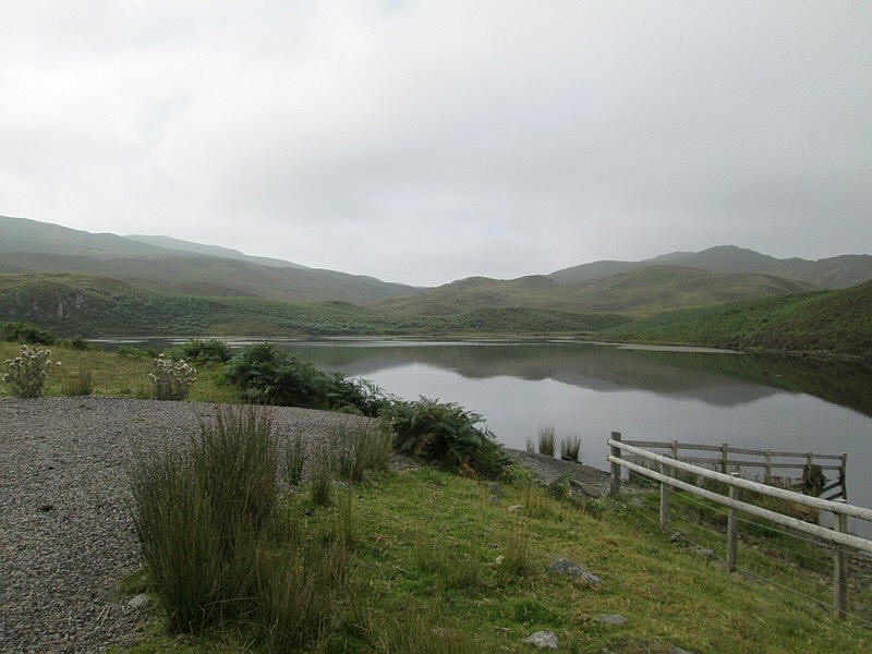
....with a small lochan complete with pier and a rowing boat.
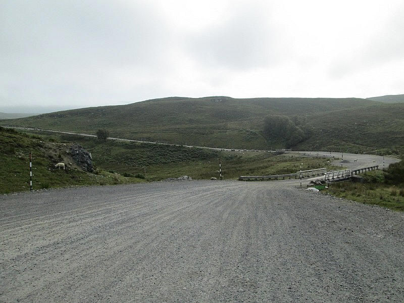
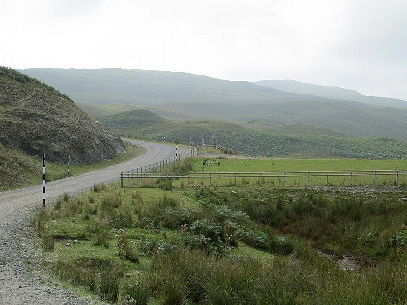
The road is enormously wide in places with substantial bridges over burns.
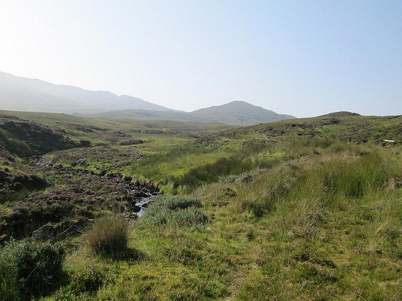
Eventually Carn a' Chuilinn comes into view through the heat haze as the road heads up Glen Doe. The Allt Doe is hidden by the trees to the left..
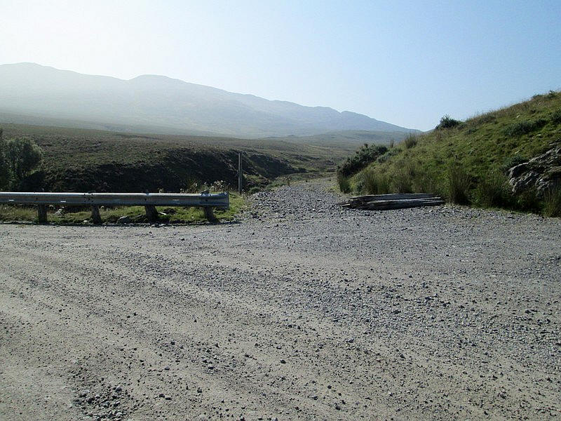
Just before a bridge at NH 416 064, and just 2 hours walk from Fort Augustus, a track leads off by the side of a burn
This soon turns into a reasonably clear path...
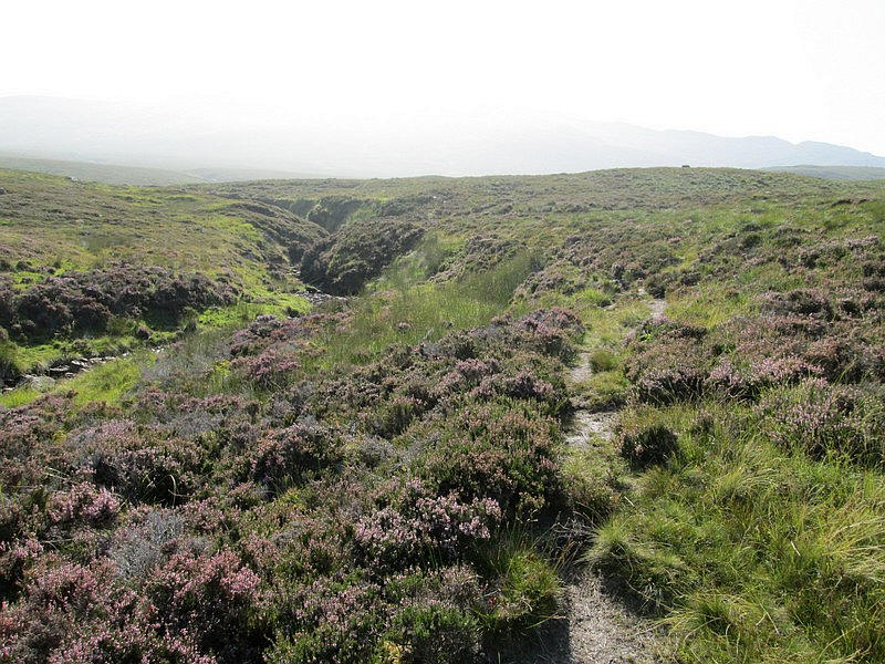
....through the heather...
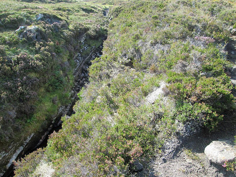
...and past a short section where the burn squeezes through a deep rocky cleft. This must be dramatic after heavy rain.
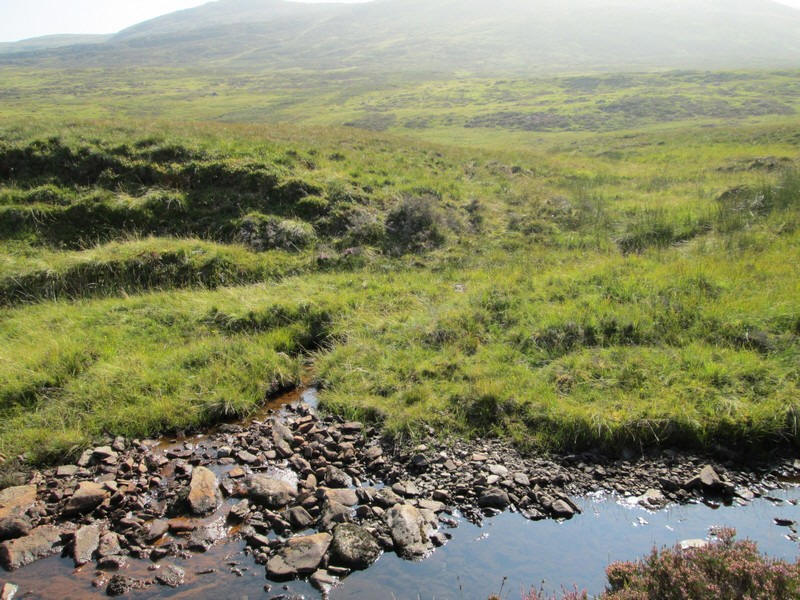
At NN41482 05298 the path ends and there is a ford across the burn.
Th track continues for a hundred yards or so before disappearing,
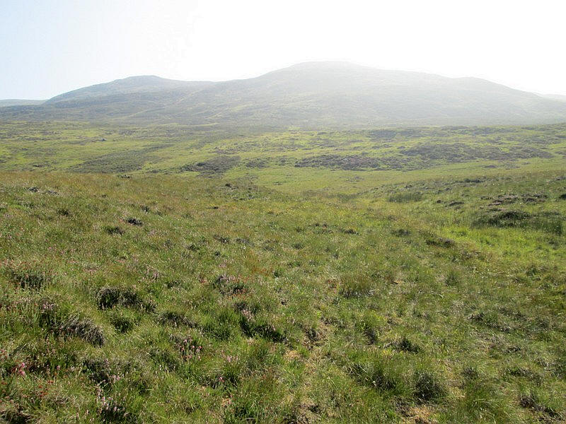
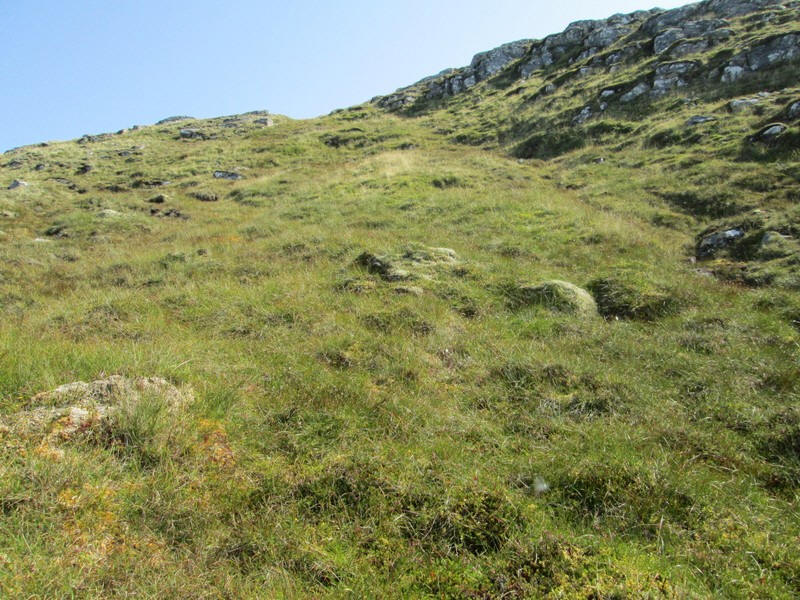
After this it's a case of slogging up the slopes and in the heat of this day with temperatures approaching the mid 20s this was thirsty work.
Looking back down towards Glen Doe. The heat haze in the distance prevented views further north.
Click on the photo to see a larger image and then click again to enlarge the photo to full size.
This climb was one where I really appreciated having inserted 5 waypoints into my GPS. This obviously allows walking towards a specific spot but more importantly, from a psychological point of view, shows how progress up the hill is being made and gives a series of mini targets. On a very hot afternoon and with a steep hill every encouragement is needed to help progress!
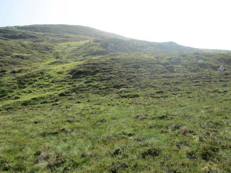
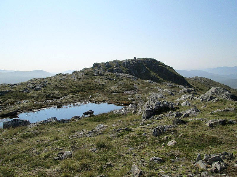
Eventually, the end of the climb is in sight as I reach the top end of the north east ridge of the hill...
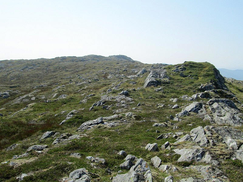
....and there half a mile in the distance is the summit cairn.
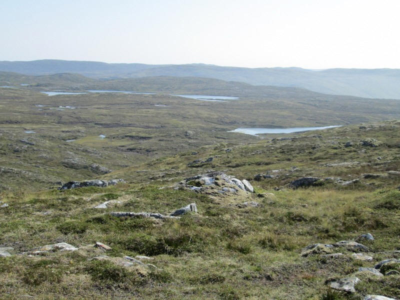
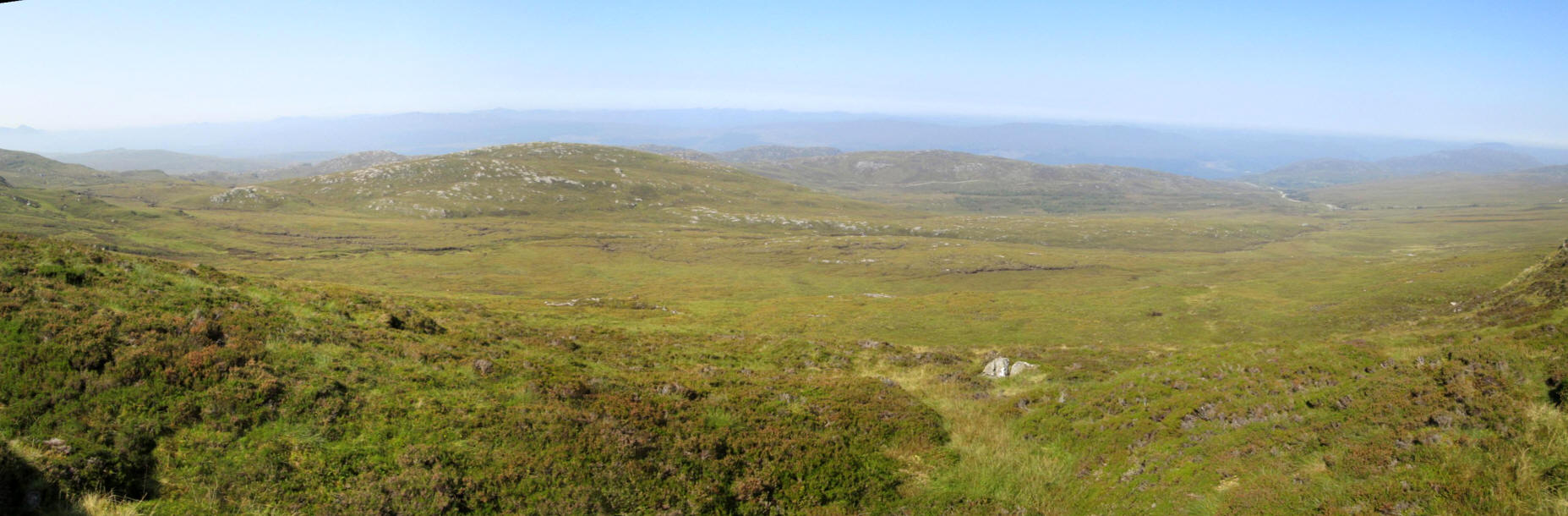
Over to the east are a series of lochans...
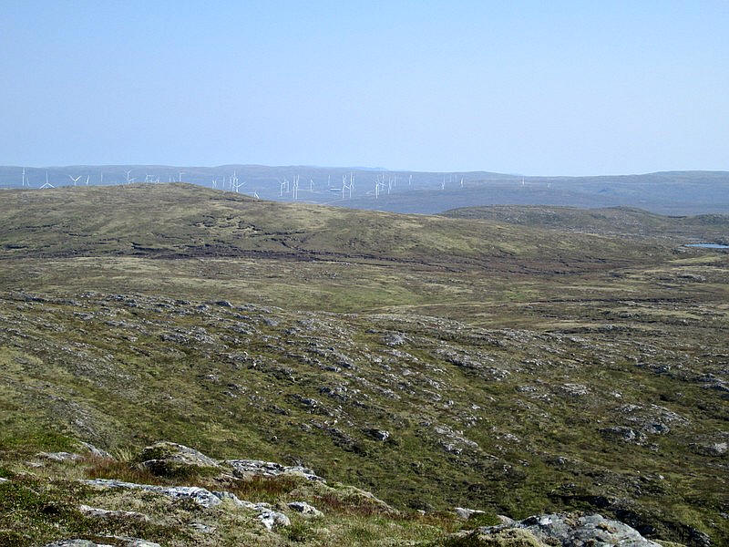
....whilst in the distance is the Monadliath with a large number of wind turbines.
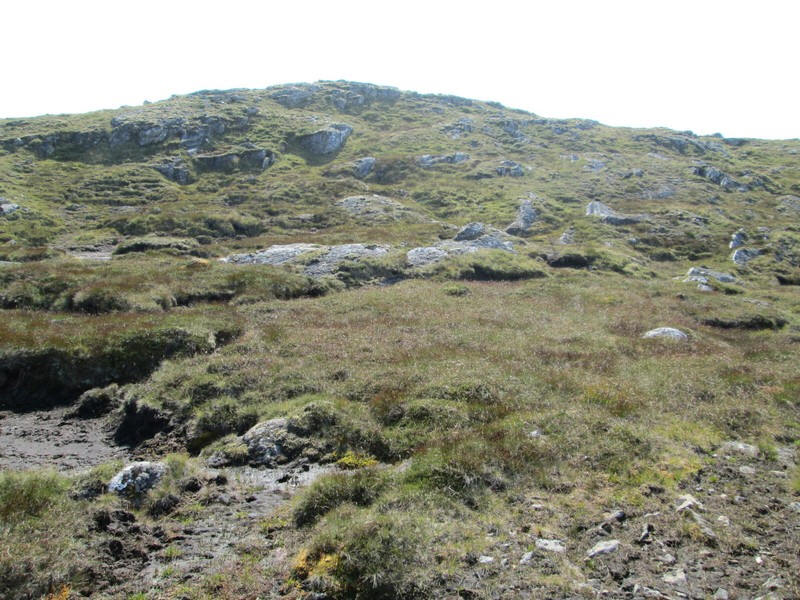
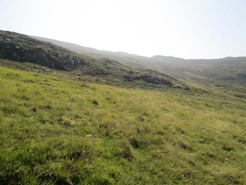
The ridge undulates a little with some small areas of peat hags...
....but generally it's an easy walk to the summit...
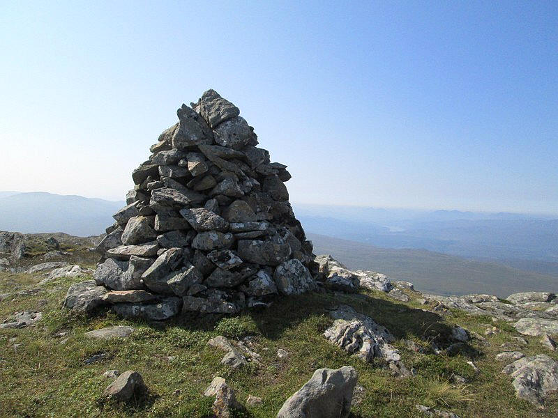
.....with a well built cairn . It had taken me 3 hours and forty five minutes to reach the summit (816m) from Fort Augustus; I was about 15 minutes later than my estimated arrival time.

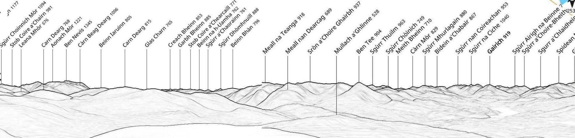
Although there is a lot of haze Aonach Mor and Ben Nevis can be seen above the water (25 miles away).
The Munros Meall na Teanga and Sron a'Choire Ghairbh and Corbett Ben Tee near Laggan Locks can be seen just to the right of the right hand side of the lochan about fourteen miles away.
Over to the right is Loch Garry about eleven miles away .
Click on the photo to see a larger image and then click again to enlarge the photo to full size.
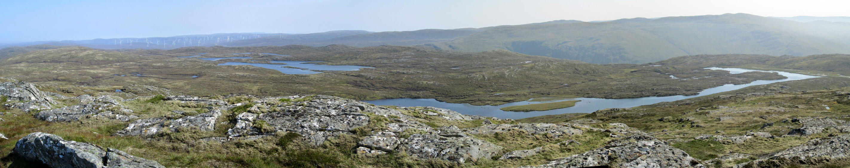
Looking over the lochans to the east of Carn a' Chuilinn and the Monadliath hills
Click on the photo to see a larger image and then click again to enlarge the photo to full size.
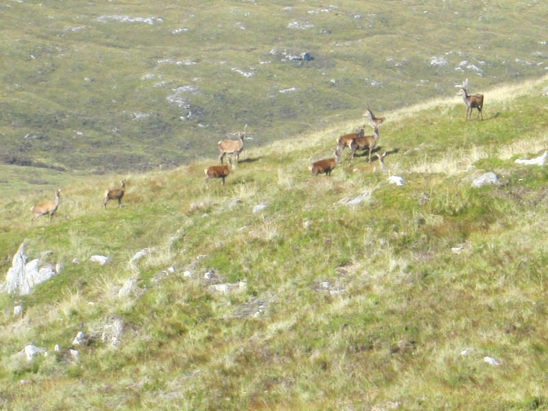
On the return walk I saw a mountain hare which looked at me and then sauntered off. Then a herd of dear ran across the hillside a couple of hundred yards ahead of me. They didn't seem to be bothered as they then started grazing before trotting off.
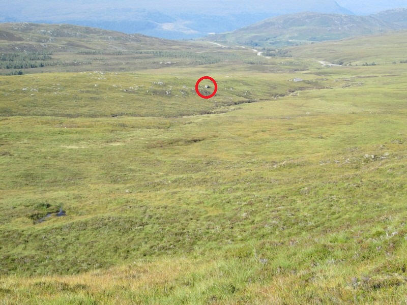
I was using my GPS to navigate back to the ford on the burn at NN41482 05298 and noticed that directly above that spot was a large erratic boulder (circled in red) so I headed directly towards that.
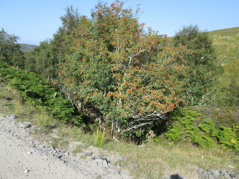
Back on the hydro/ wind farm road this mountain ash had a vibrant display of berries.
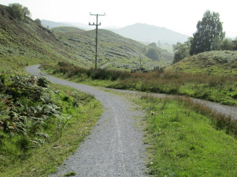
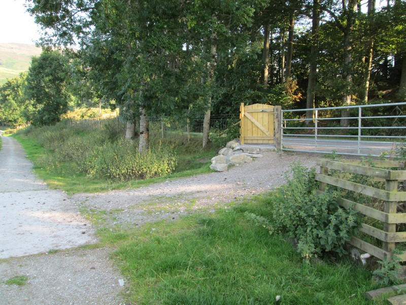
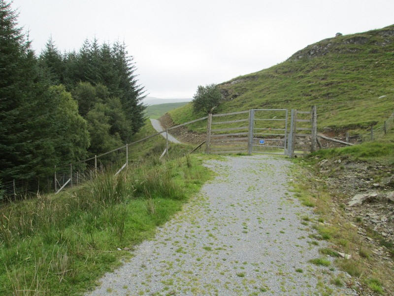
To finish the walk I head down the new path/ cycle track....
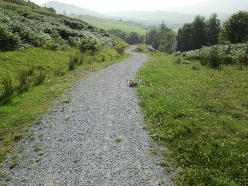
.....which is much more pleasant than the road....
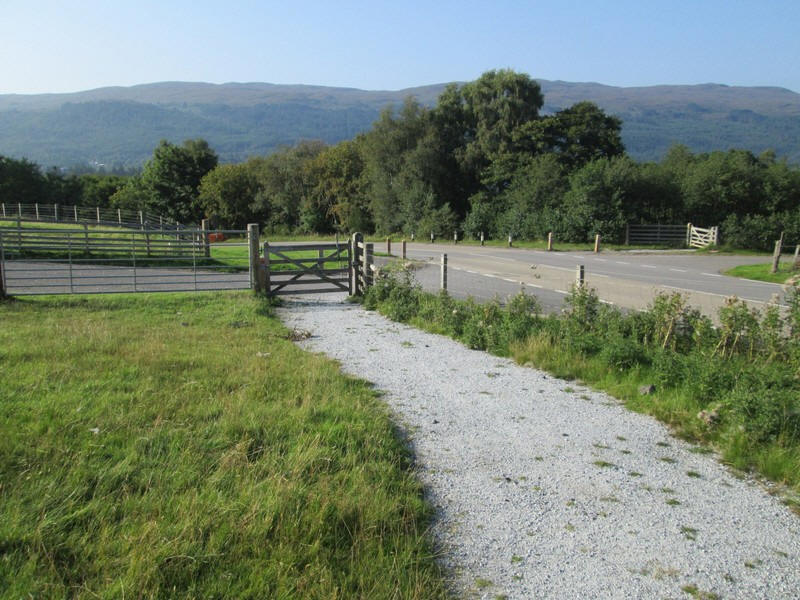
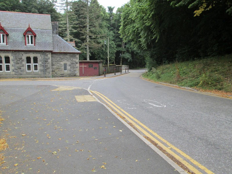
...and ends at this gate by the road. There's a short distance on the road before the lochside path in Fort Augustus. I was in plenty of time for the early evening bus back to Fort William after a three hour walk from the summit.