Carn a' Mhaim
For the third day of my walking holiday in Braemar in June 2015 I decided to climb the relatively easy summit of Carn a'Mhaim.
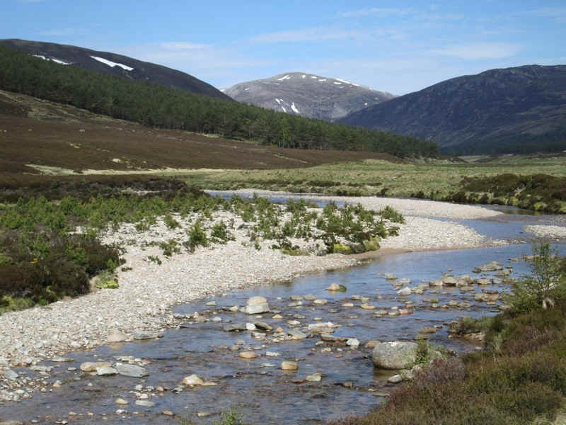
The walk starts from Linn of Dee through the woods and onto the estate road that goes to Derry Lodge. It was another beautiful day and, shortly after crossing the Lui Water bridge, Carn a'Mhaim could be seen to the left.
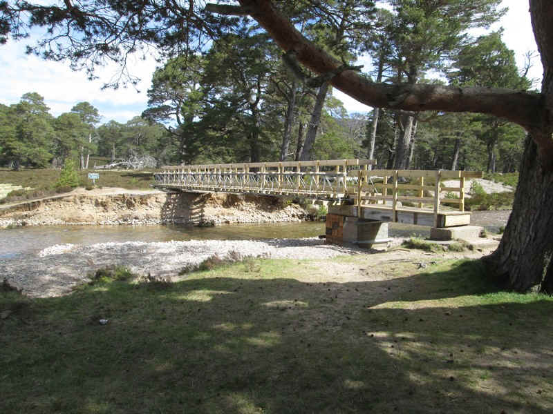
The flash floods of August 2015 destroyed the footbridge across the river at Derry Lodge, but a temporary bridge is now in place.
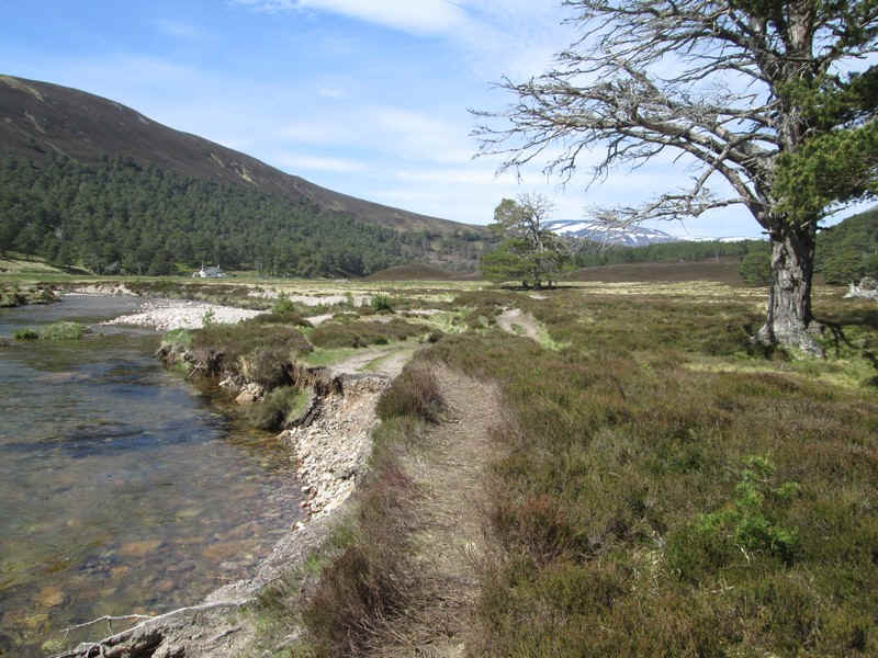
Once over the river the path goes along the heavily eroded river bank and then cuts across some rather marshy ground and isn't always easy to follow.
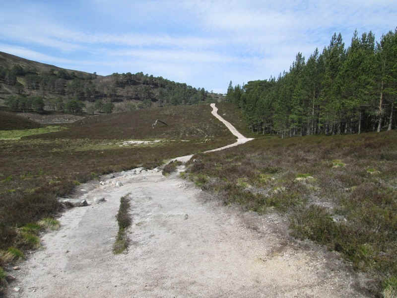
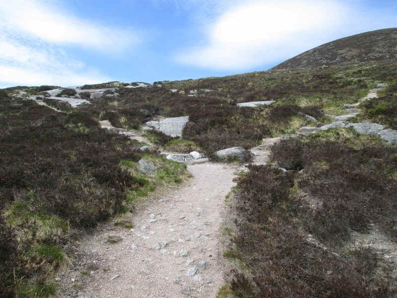
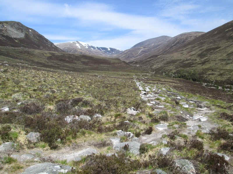
Beyond this section a very clear and well maintained path makes progress very easy....
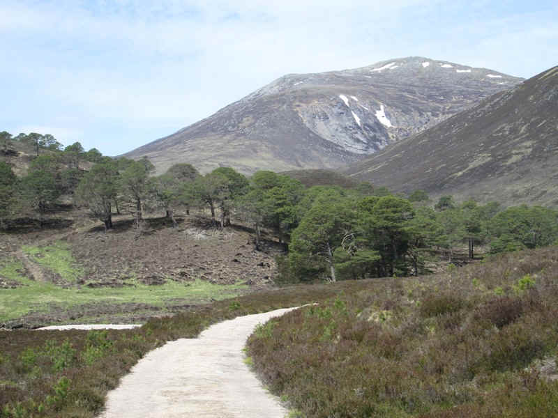
...and at times seems just too civilised for its surroundings!
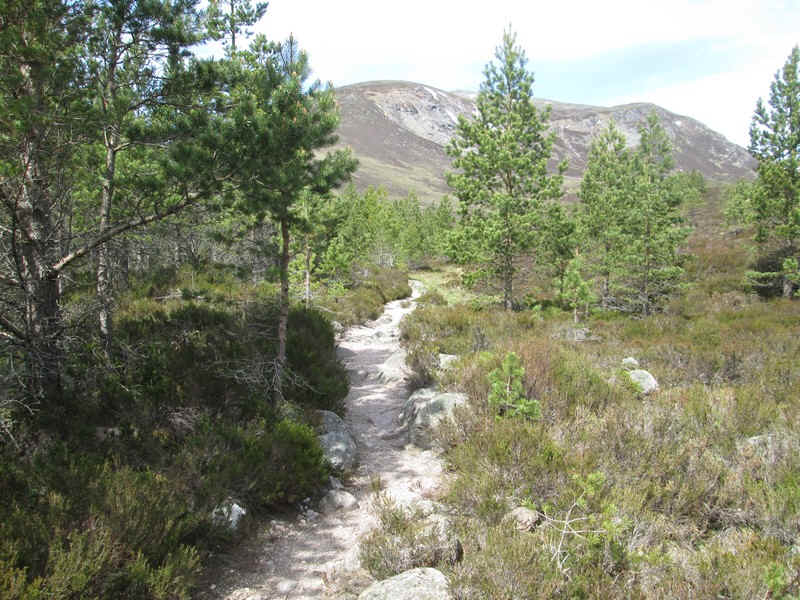
Th path narrows through a section where woodland is being regenerated....
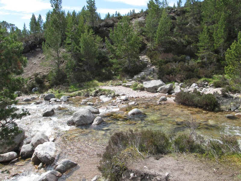
....before coming to Luibeg Water where there are stepping stones. It's an awkward crossing though so I chose to...
...head upstream along a rough path...
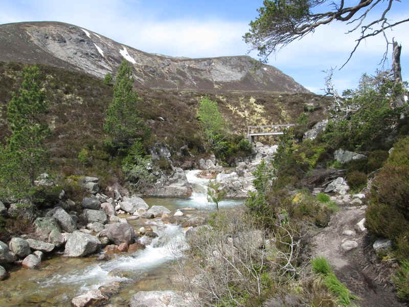
...to the Luibeg bridge.
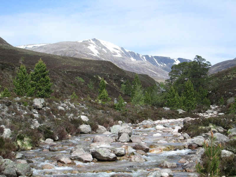
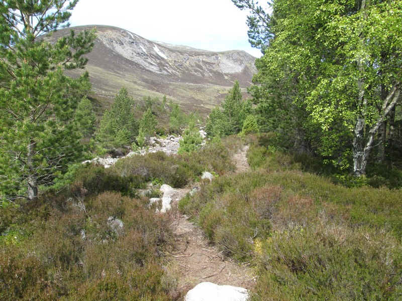
Ahead are the cliffs on the eastern side of Ben Macdui.
To return to the main path from the bridge there is a section of rough and rather boggy path to follow...
....before reaching the well maintained path that climbs uphill....
...to the junction of the track that goes to the Corrour Bothy and Lairig Ghru with the one going up Carn a'Mhaim.
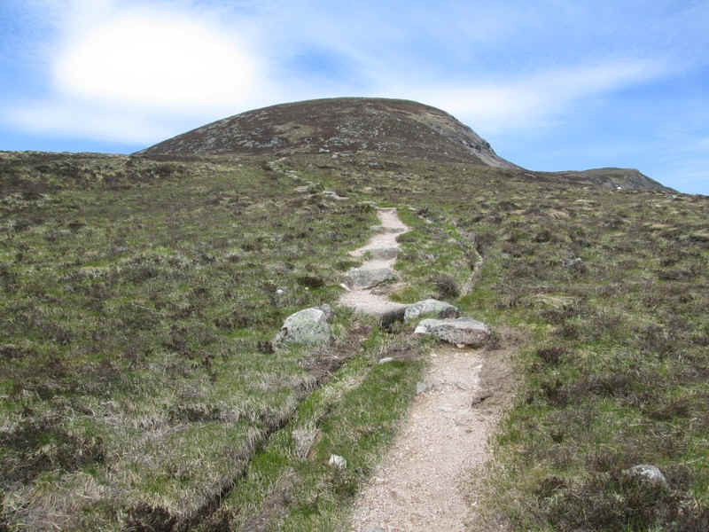
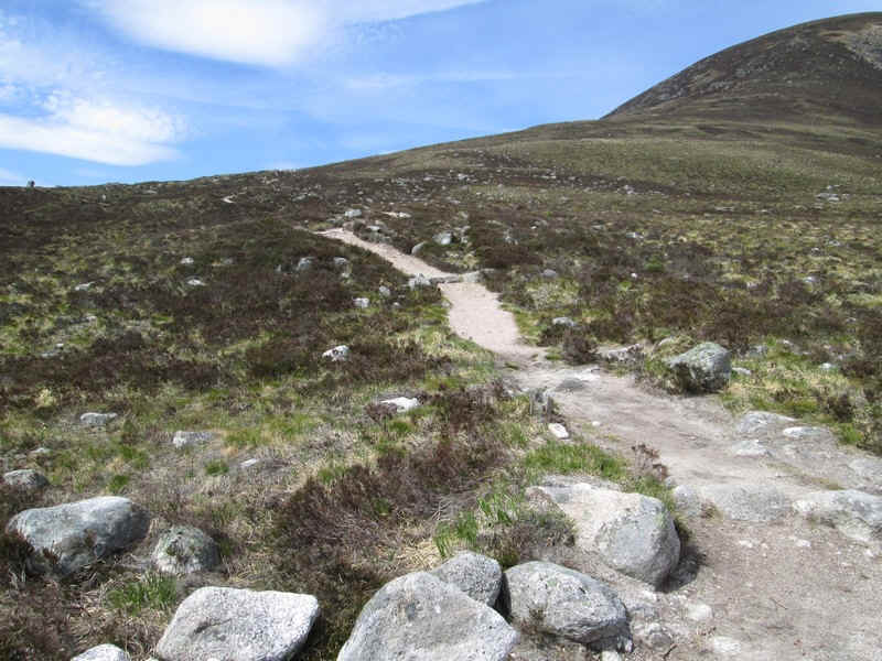
The path uphill is clear...
...and in places even has a staircase, presumably to prevent erosion by the hoards of Munro baggers!
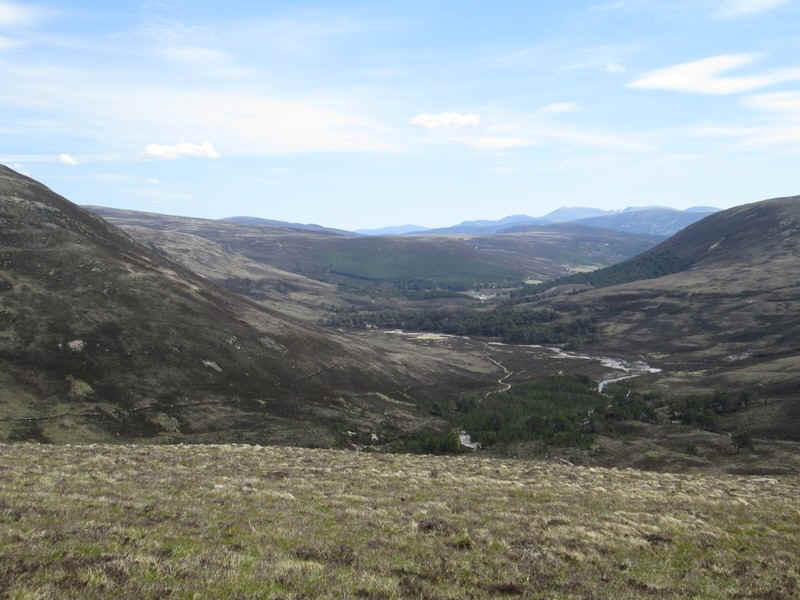
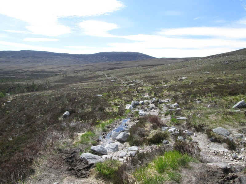
Looking back downhill towards Derry Lodge.
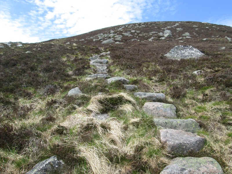
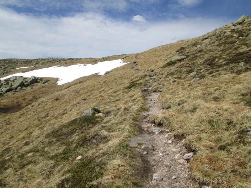
After an initially steep climb the gradient eases, but the path remains clear.
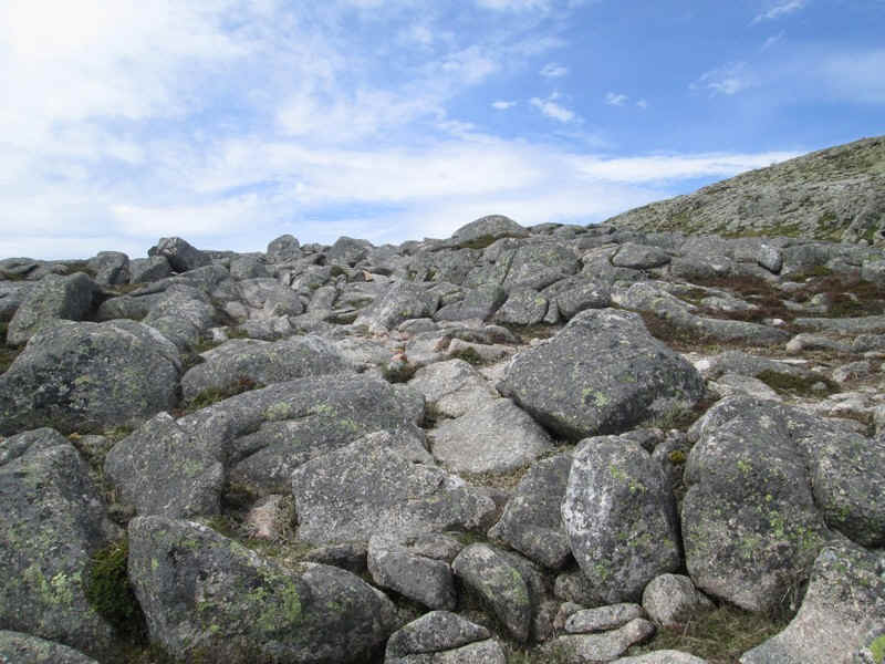
..although the usual jumble of rocks interrupts easy progress further up.
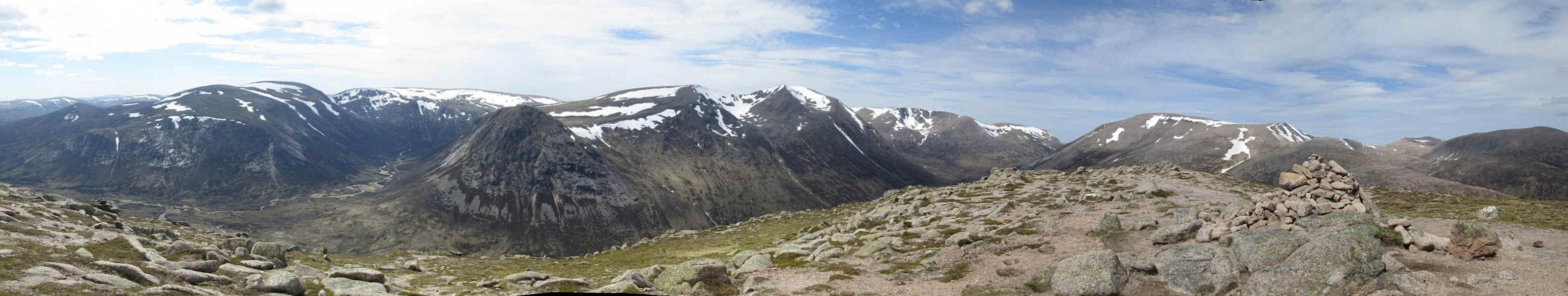
A panorama of the four Munros to the west: Beinn Bhrotain, Monadh Mor, the Devil's Point, Cairn Toul. click on the photo for a larger image.
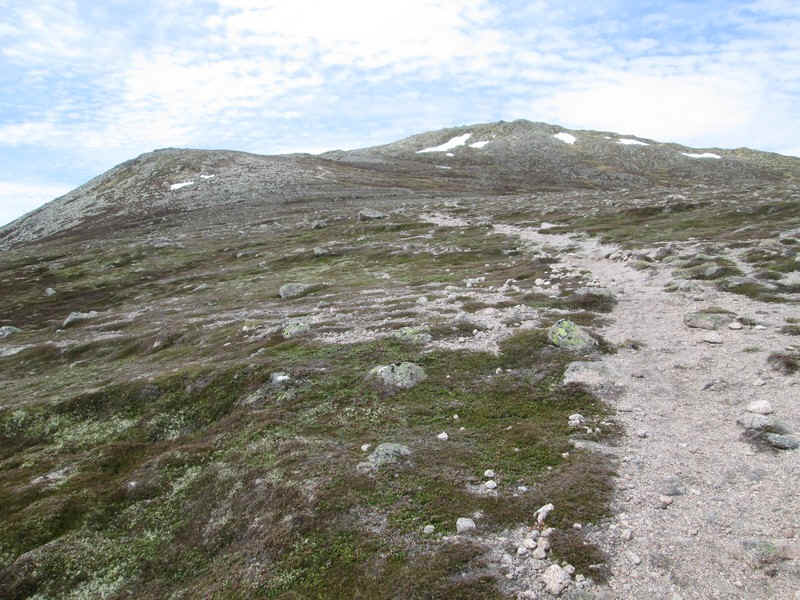
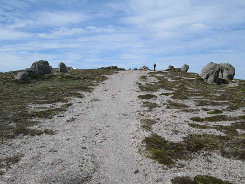
The path now climbs up onto Carn a'Mhaim's summit ridge....
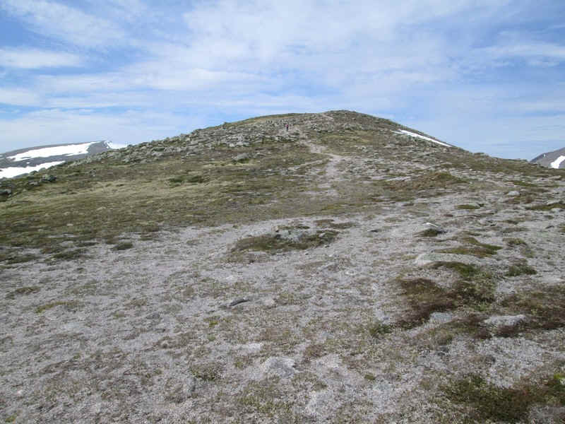
...with its tundra vegetation.
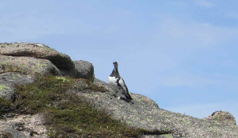
A ptarmigan obligingly sat on a rock long enough for me to photograph it.
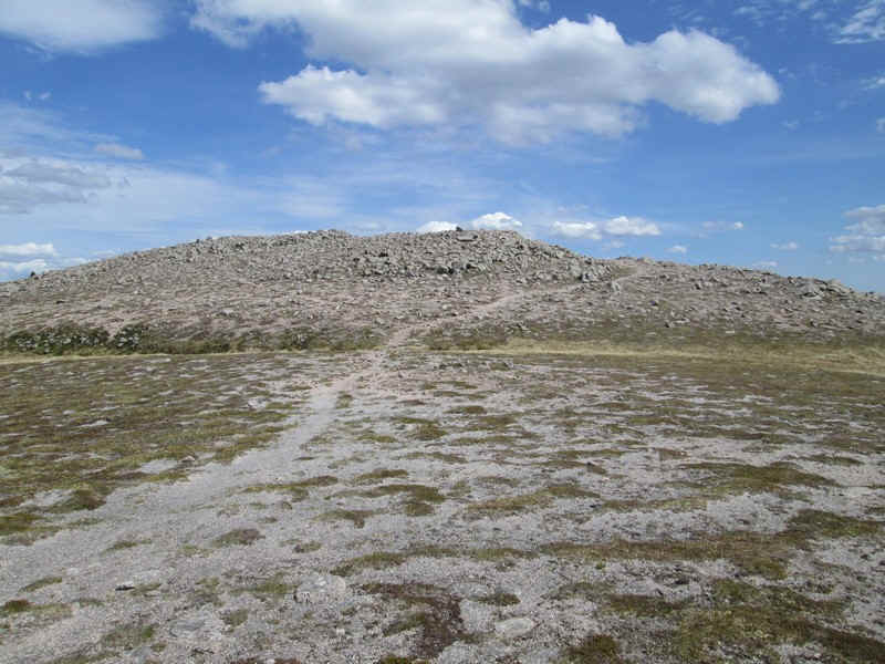
The summit of Carn a'mhaim has a few rather insignificant tors....
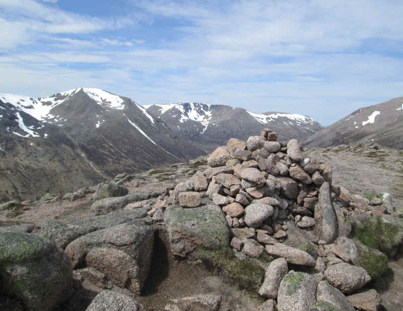
The summit cairn (1037m) with Cairn Toul and Braeriach in the background. It had taken me four and a half hours from Linn of Dee, mainly because I had had several long breaks as I was feeling slightly tired after the previous two day's walks and also because I had some pain from my back and I was taking things very gently climbing uphill.
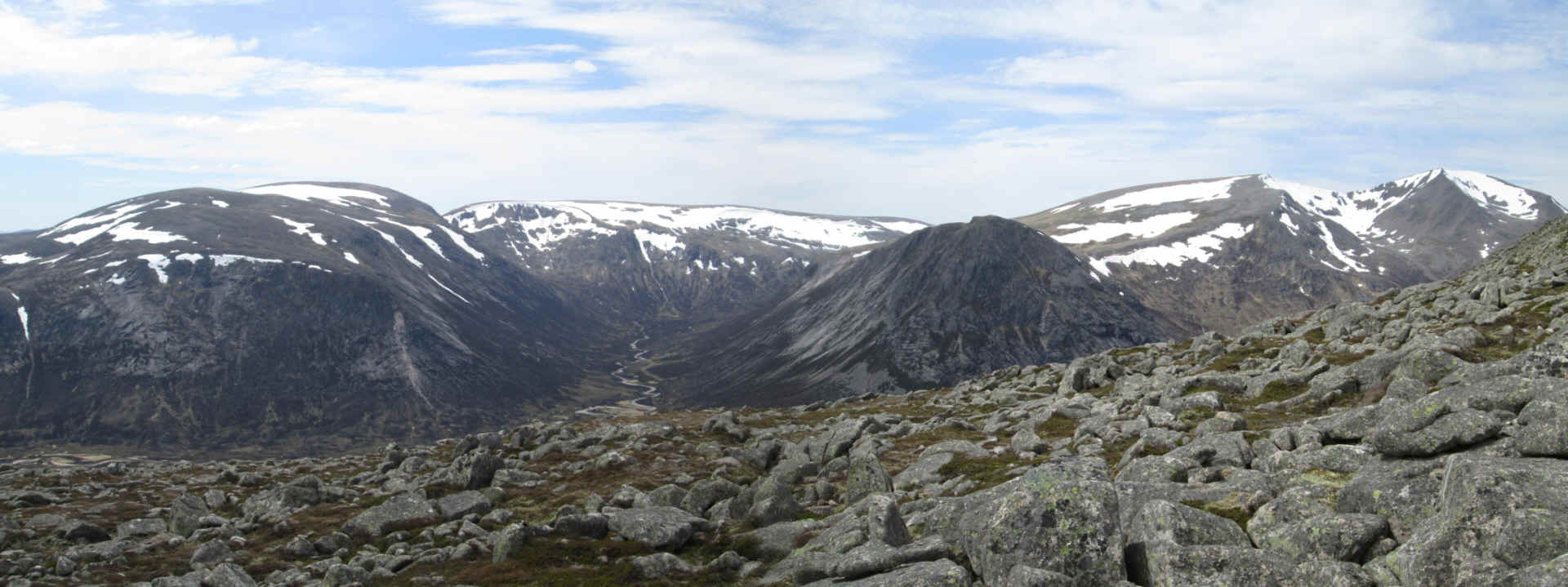
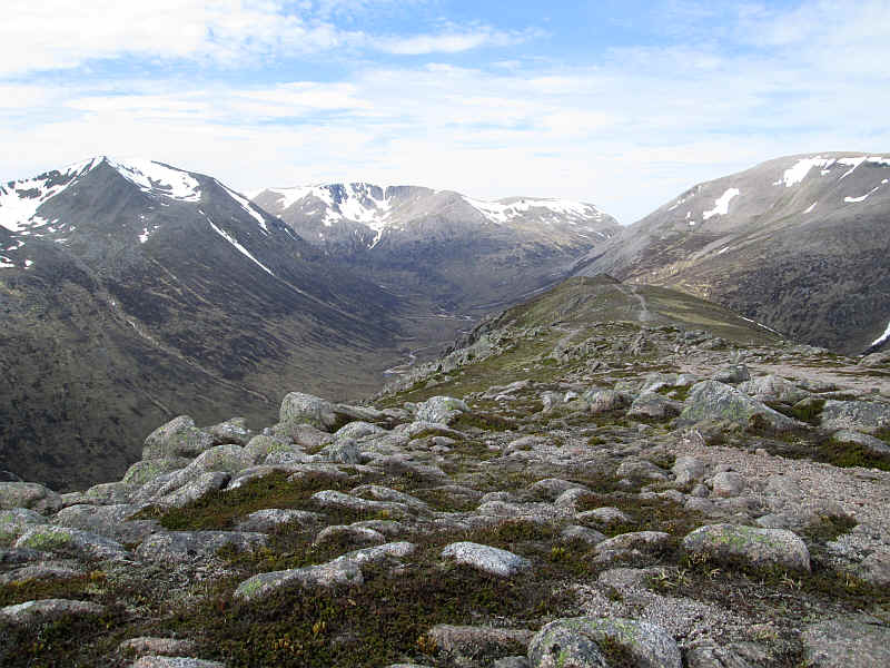
This must be one of the most spectacular summit views in Britain - it's a 180 degree panorama from SW to NE.
From left to right: Beinn Bhrotain, Monadh Mor, the Devil's Point, Cairn Toul, Braeriach, the dip of the Lairig Ghru, Ben Macdui, Beinn Mheadhoin and Derry Cairngorm

Looking east this panorama shows the long ridge of Derry Cairngorm with beyond it Beinn a'Bhuird and Beinn Bhreac. Click to see a larger image.
Looking down into the Lairig Ghru with the path towards Ben Macdui heading off down the ridge.
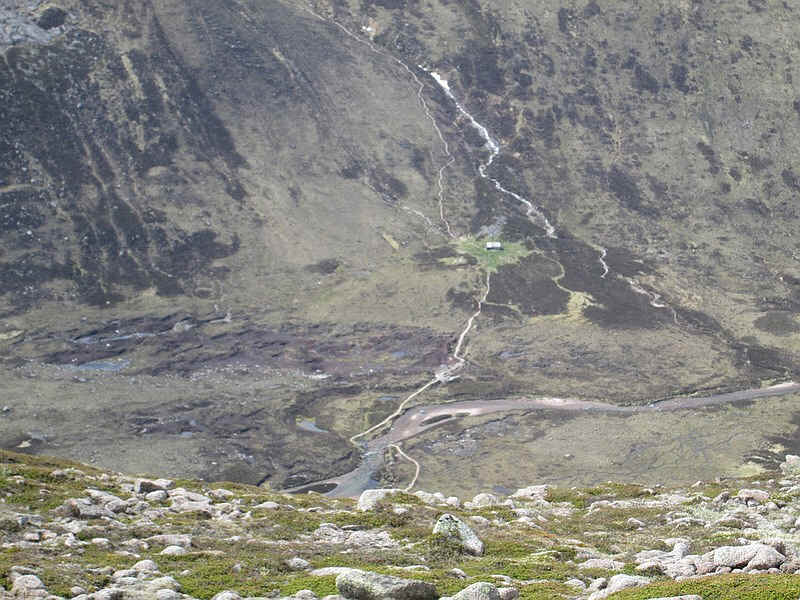
Looking down to Corrour Bothy, which lies almost 500m below the summit of carn a'Mhaim.
On the return I decided to go to the cairn at the south end of the summit ridge, but the track down from that point looked uninviting, so I returned on the one I'd come up that that starts near the spot height of 999m
Once back on the main valley path I once again took the diversion via the Luibeg bridge. This is the junction with the main path down to the stepping stones. As I was in no particular hurry I had a gentle walk, with plenty of breaks on the way back to Linn of Dee. The entire day's walk had taken about eight and a half hours of which probably about seven hours had been actual walking time.