Carn na Drochaide
Click on the square in the top left hand corner to see a larger map.
For my fourth walk at Braemar in June 2018 I decided to climb the Corbett Carn na Drochaide. It's not a particularly high hill, at 818m, with a climb from the valley of just over 500m but its location means that it has a 360 degree view of virtually all the hills in the Cairngorms both north and south of the River Dee.
The walk starts at the car park at Linn of Quoich and, because the bridge over the Quoich Water still hasn't been repaired, it is necessary to cross the river at the footbridge at The Punch Bowl. From the road head off up the path as if going up Glen Quoich.
After a few hundred metres take the track down towards....
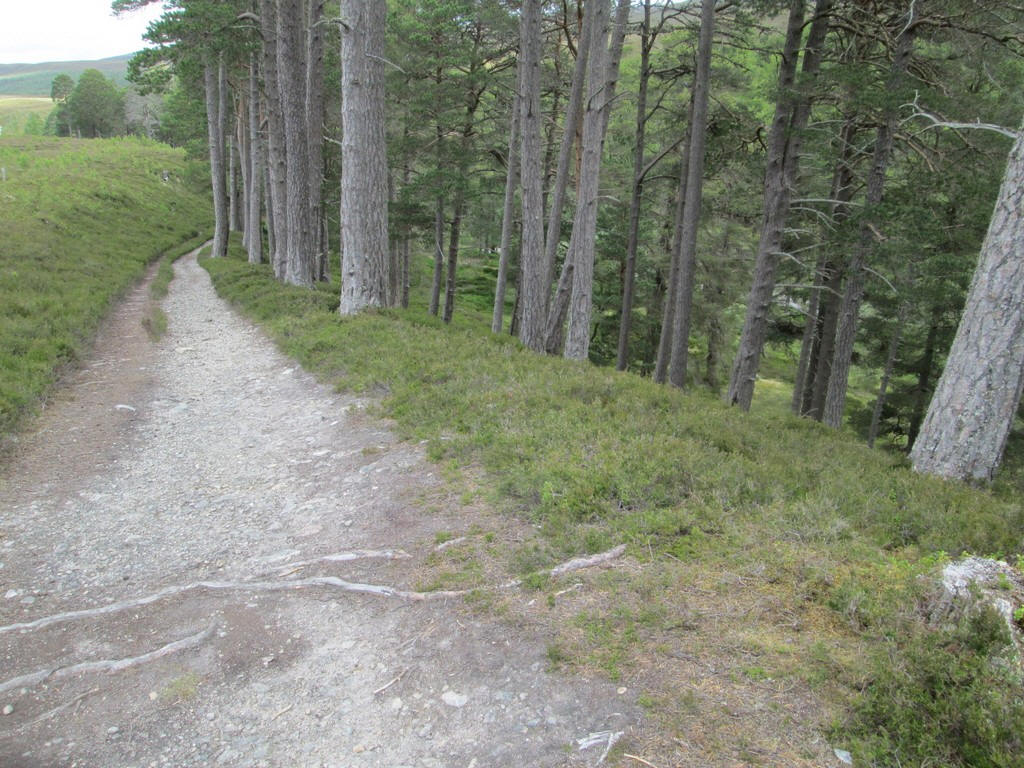
...the trees on the slope down to the river.
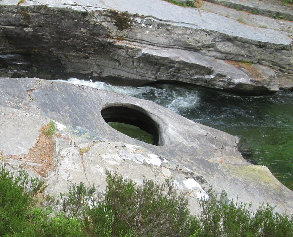
The Punch Bowl is a hole in the rocks which has been eroded by stones swirling around in a depression in the rocks. With the river level being low it was really obvious.
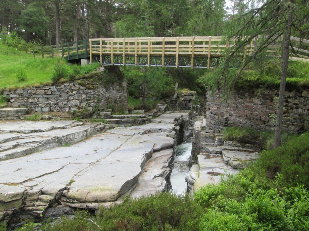
A new bridge takes the path across the river. This replaces the one destroyed in the floods in 2015. As can be seen the water is squeezed between the slabs of rock.
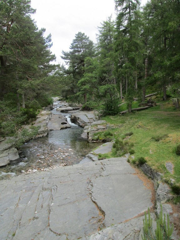
Looking upstream from the bridge.
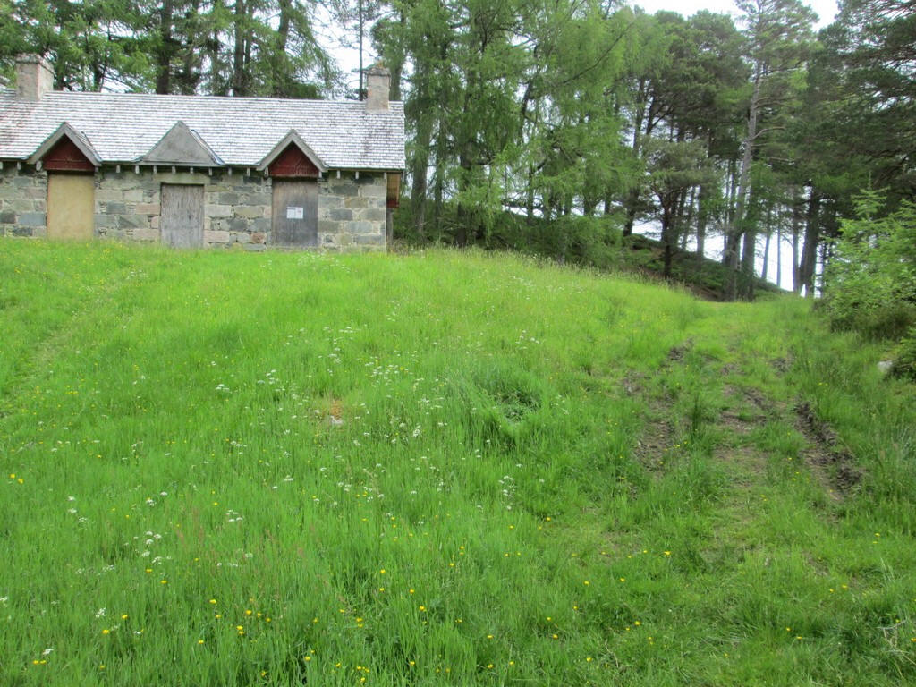
The path continues straight ahead past a boarded up estate building...
...to continue towards....
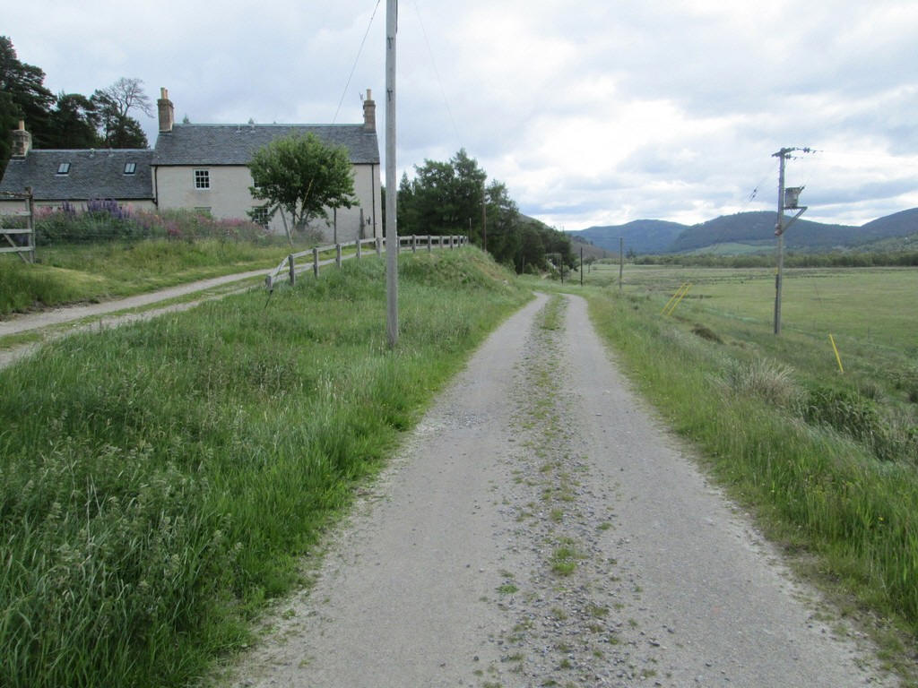
.....the main vehicle track at Allanquoich which goes on towards Invercauld.
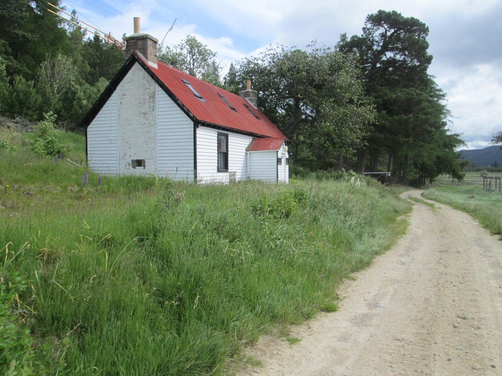
There's now a mile and a half of easy walking past the apparently uninhabited Carn na Drochaide cottage.
It's a pleasant saunter..
until just beyond the building at Allanmore...
...where a path leads uphill...
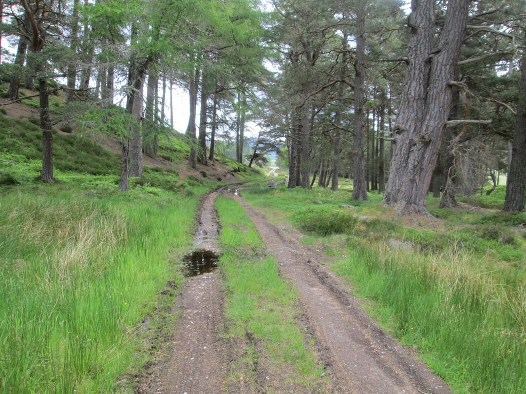
...before doubling back and joining a vehicle track on the hillside.
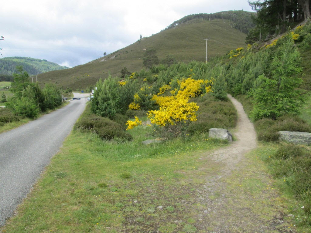
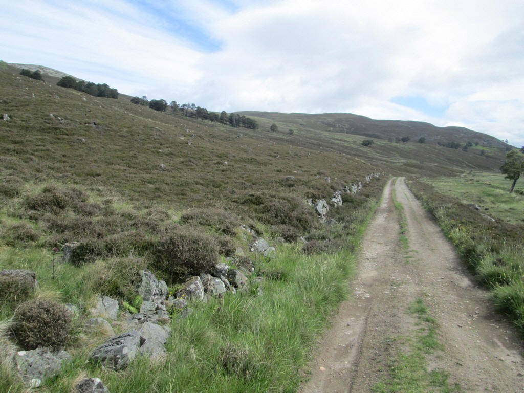
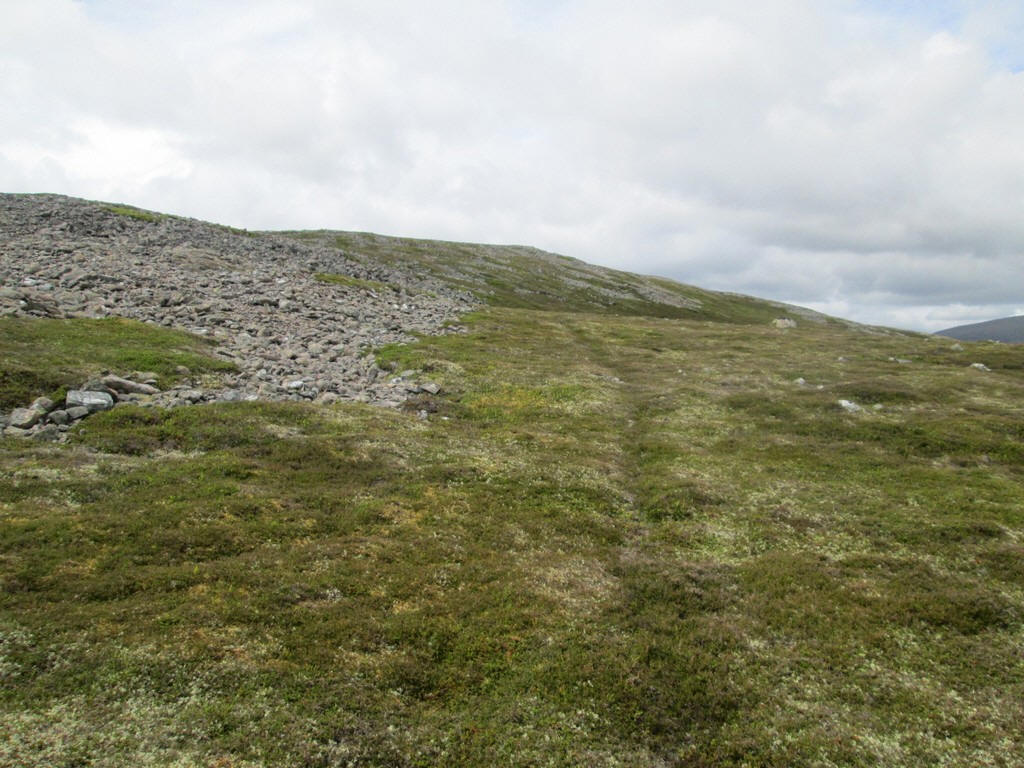
After a few hundred metres there is a junction with a track heading off up the hill.
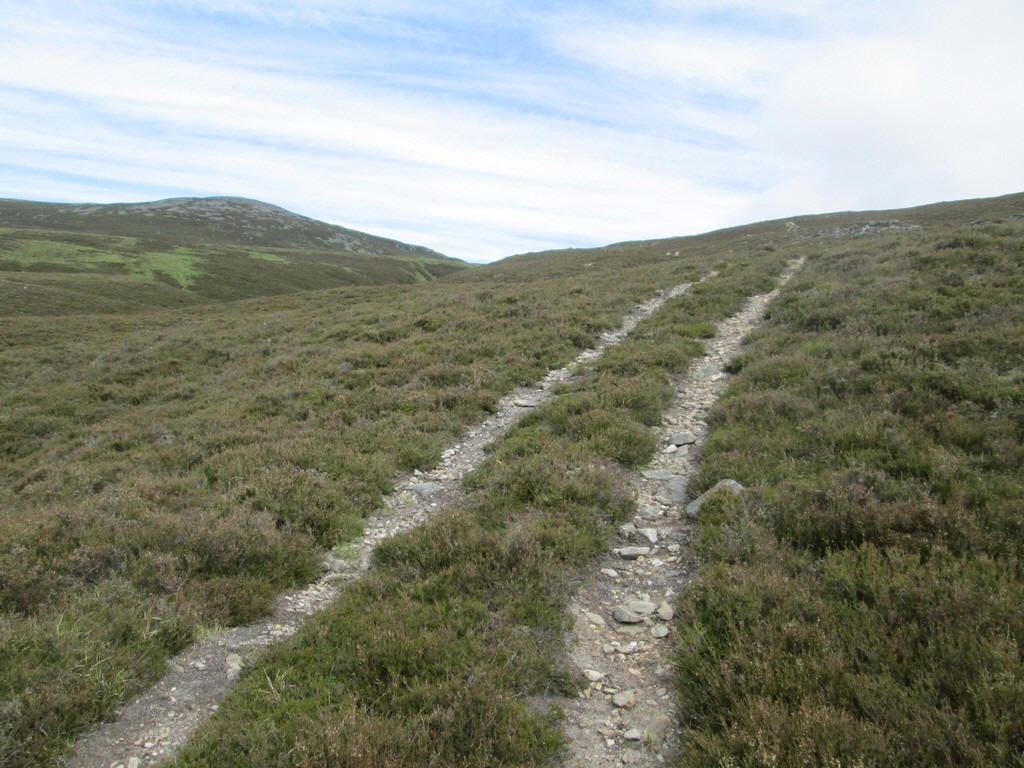
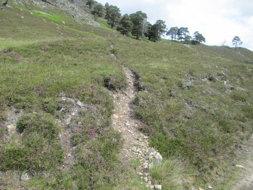
This rises gently up the hillside just to the east of the East Allt Coultain stream...
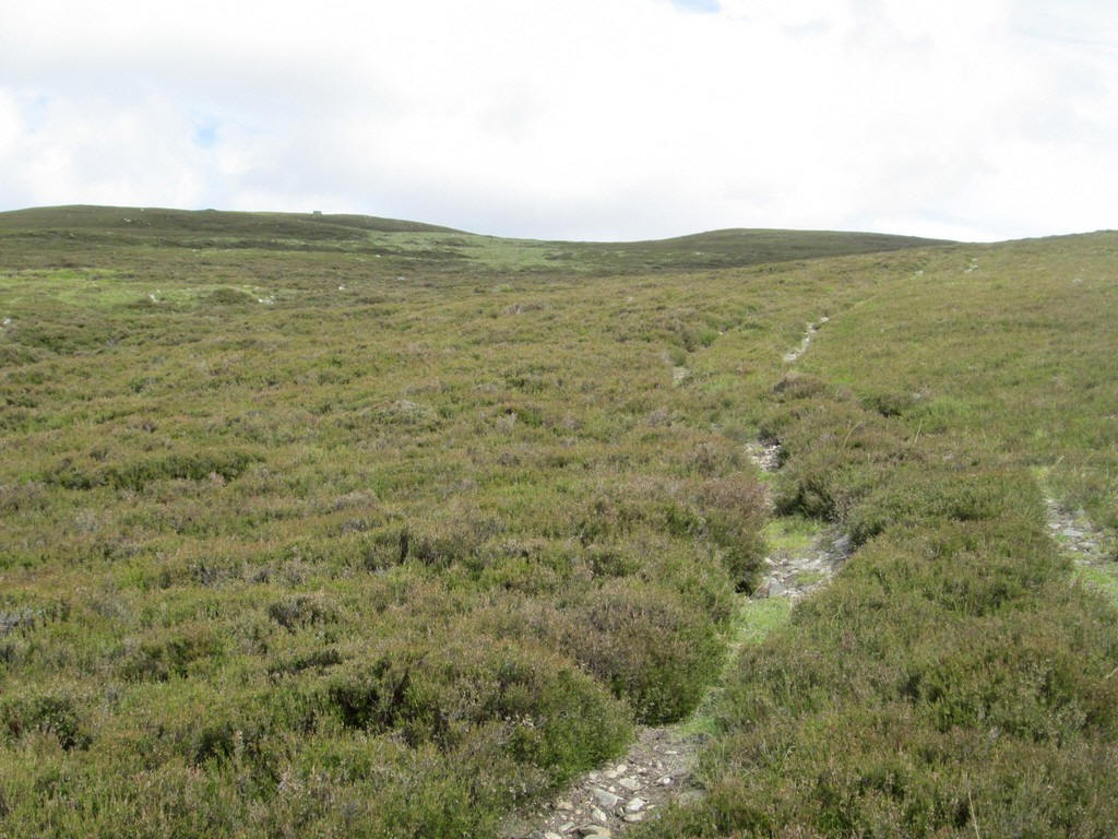
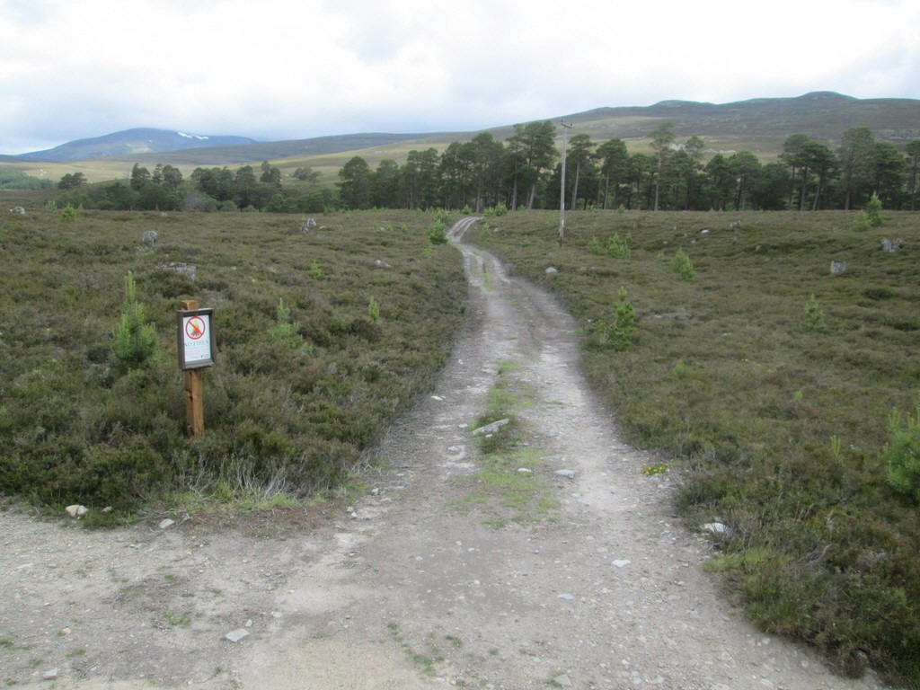
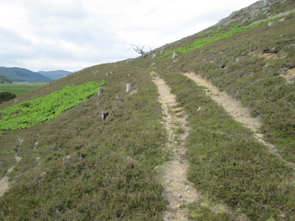
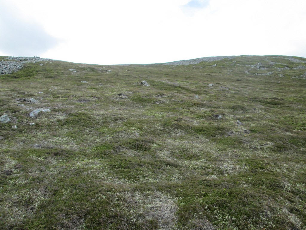
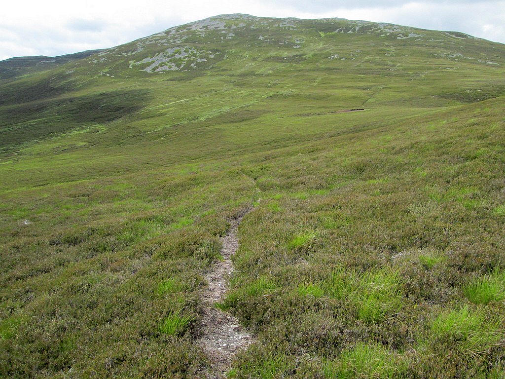
The track continues through the heather...
...before ending at NN 14026 92989. I marked this in my GPS as it could be difficult to find the track in the heather on the way back downhill.
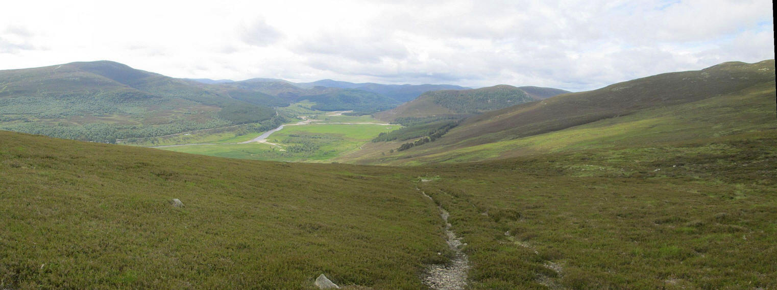
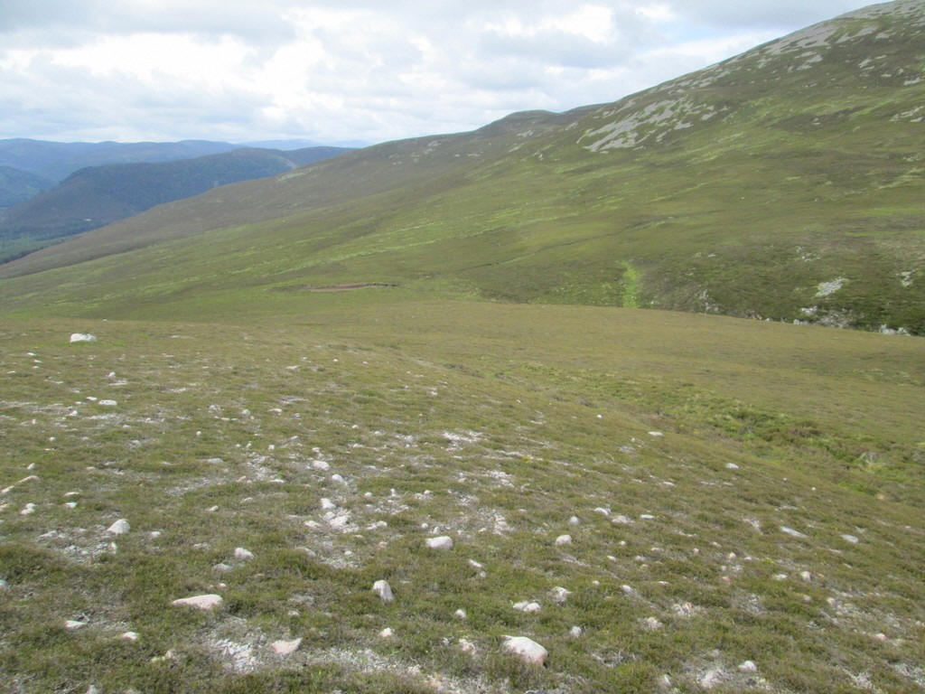
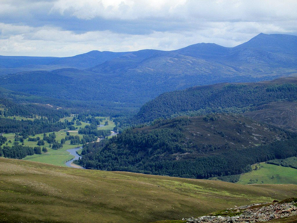
The view looking back up Deeside with the road to Linn of Dee on the far side of the River Dee and the start of this walk at Linn of Quoichin the centre of the photograph.
Click on the photo for a larger image and then click again to see it full size.
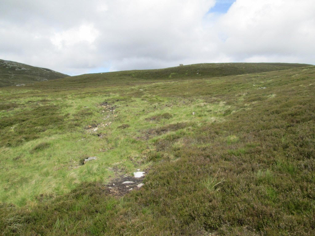
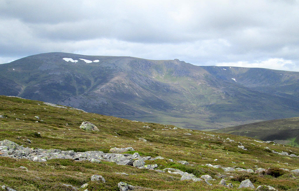
Once beyond the end of the track it is across heather towards the summit of Creag a' Chleirich.
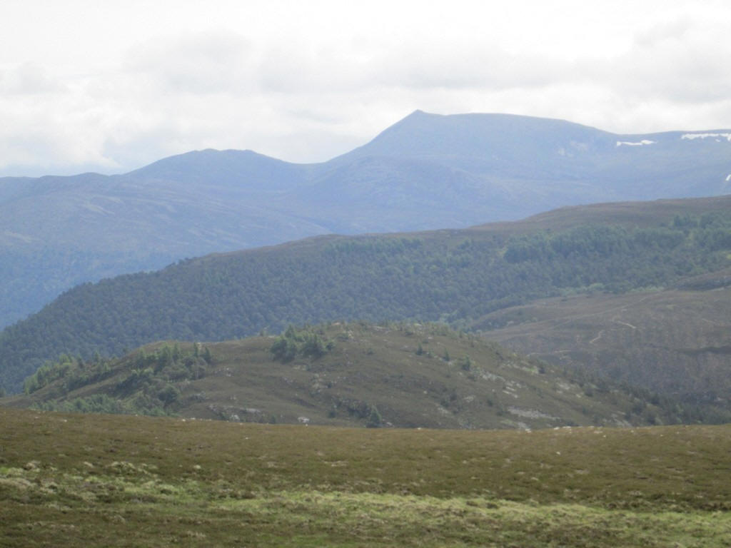
The summit of Lochnagar can be seen eight miles away.
Approaching the cairn on Creag a' Chleirich I wasn't prepared for the superb vista that can be seen from here.
The panorama shows Beinn a'Bhuird (with snow patches) on the left, and the numerous summits of Ben Avon in the centre. To the right is the Corbett Creag an Dail Bheag, which is shown as Carn Liath on the O.S. maps. Click on the photo for a larger image and then click again to see it full size.
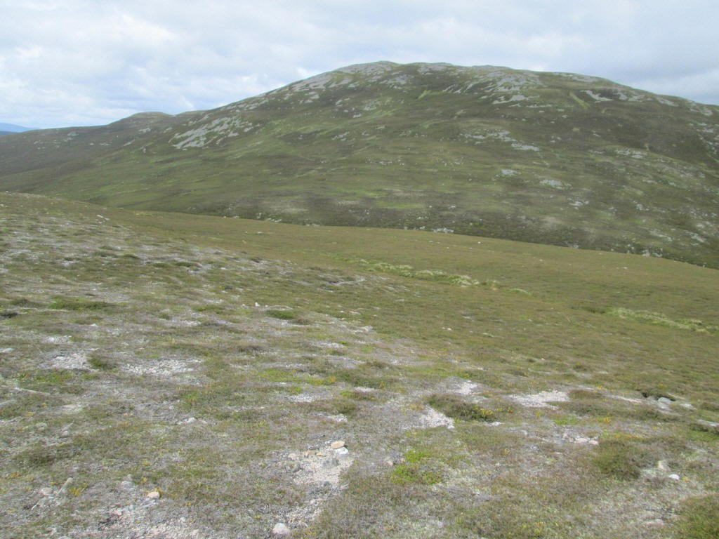
Moving on from the summit there is a slight descent to...
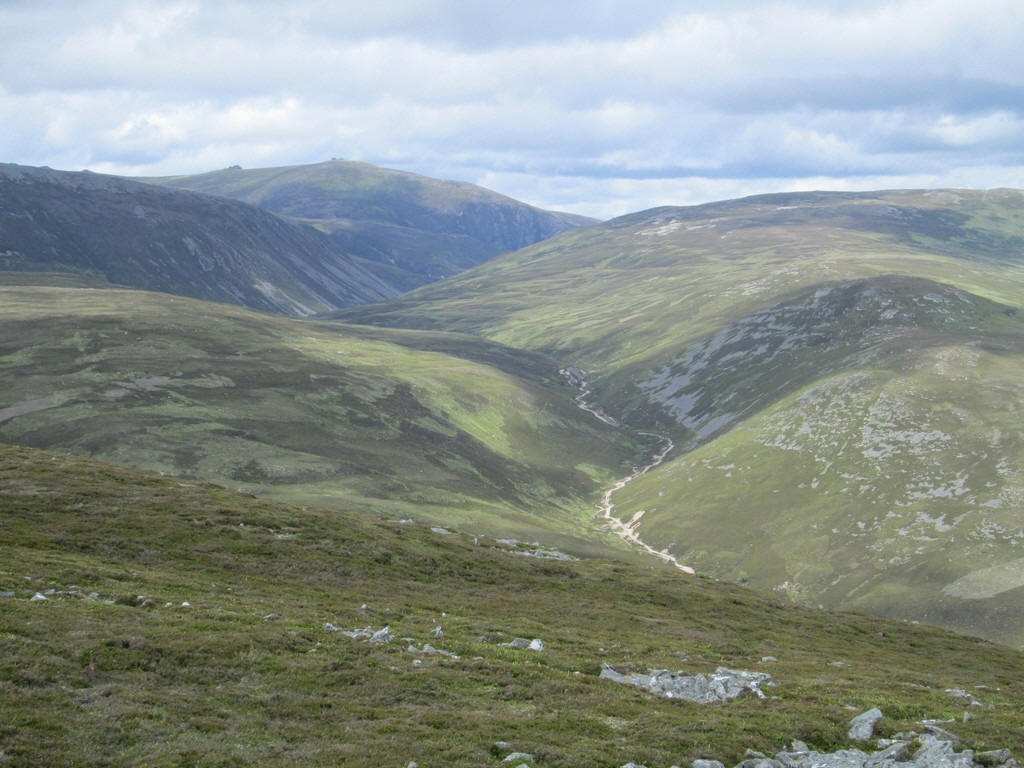
... a col at the head of....
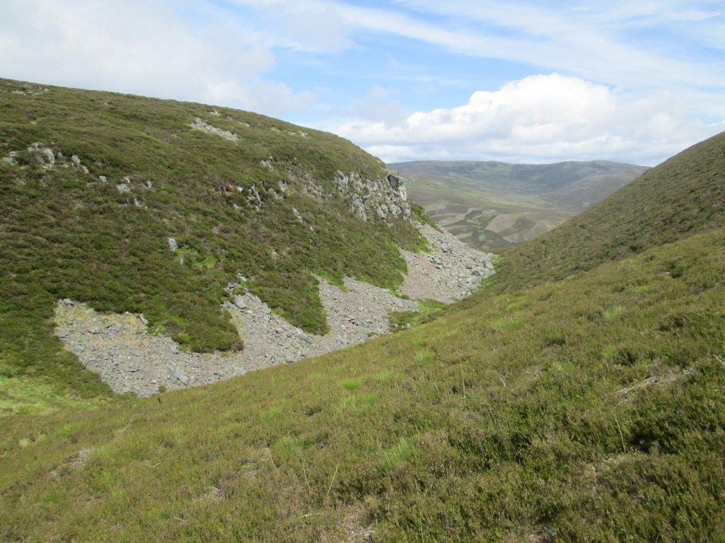
...Clais nan Cat with its small crag and scree.
From the col I followed a faint track through the heather...
...heading for the
...ridge leading up to the east ridge.
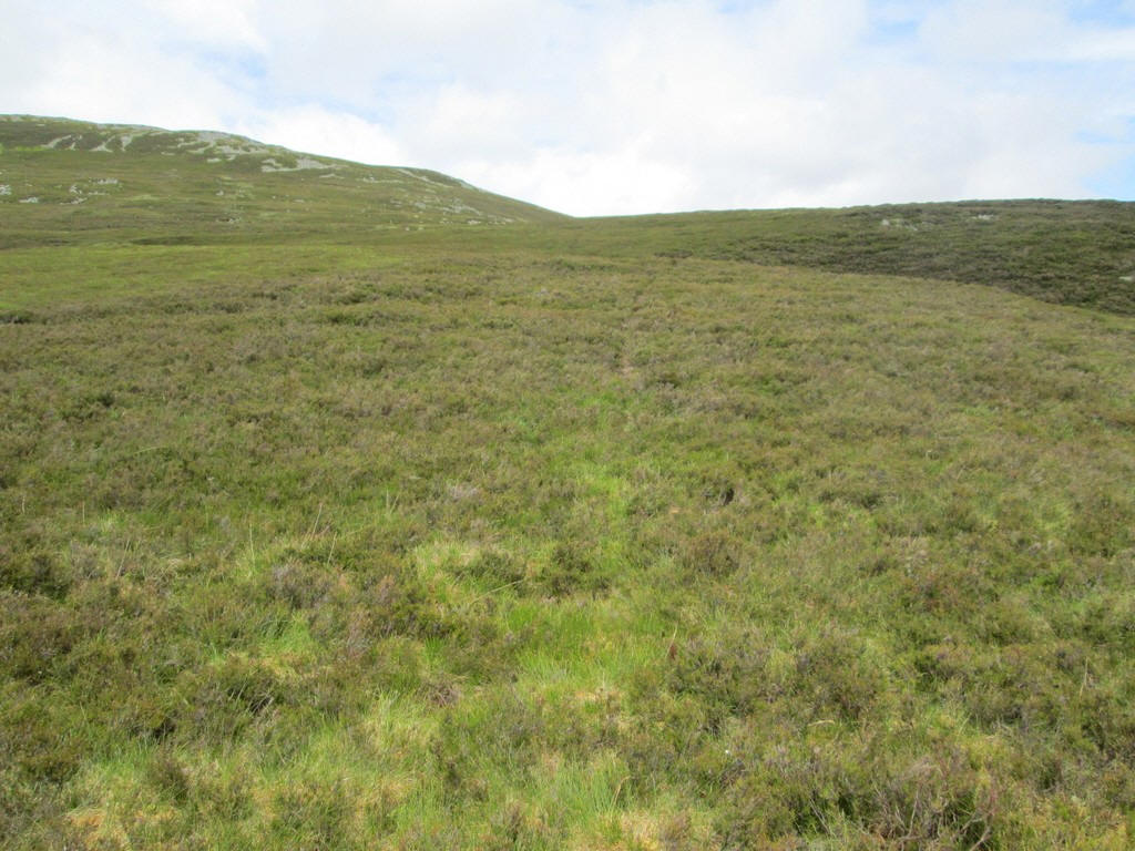
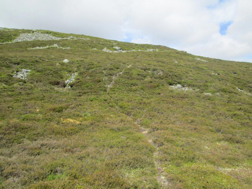
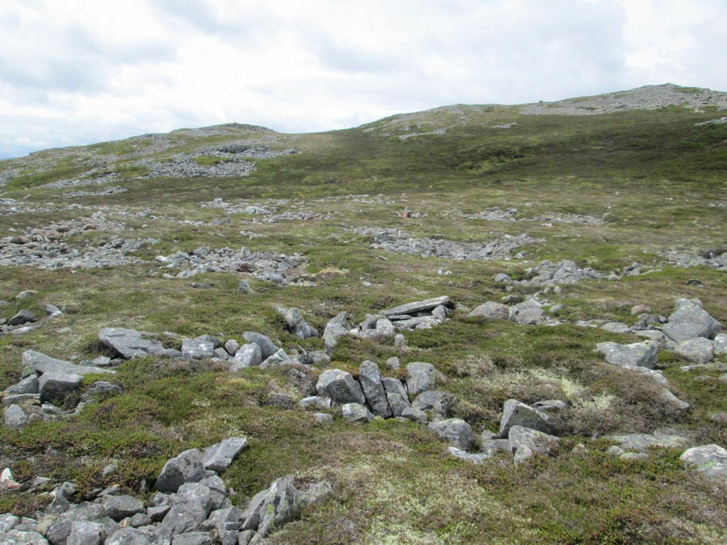
Higher up the heather turns into tundra vegetation...
...before reaching stonier ground.
A 'zoomed in' view of Beinn a'Bhuird with some of the enormous corries on its north eastern side.
Another 'zoomed in' image, this time of Ben Avon with the summit tor clearly visible on the left.
Ben Avon's distinctive tor seen on a previous walk.
The climb continues, sometimes without a clear path...
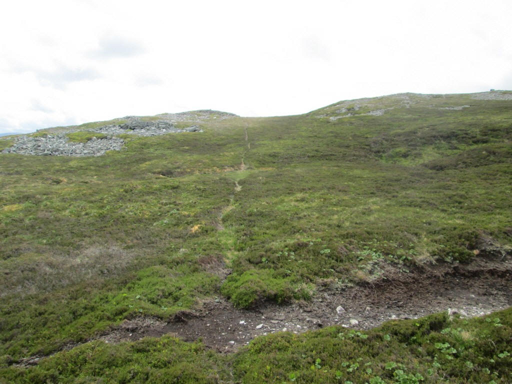
..and sometimes with one.
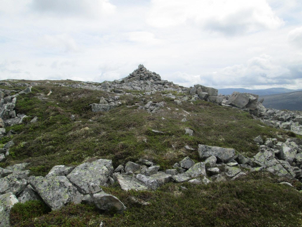
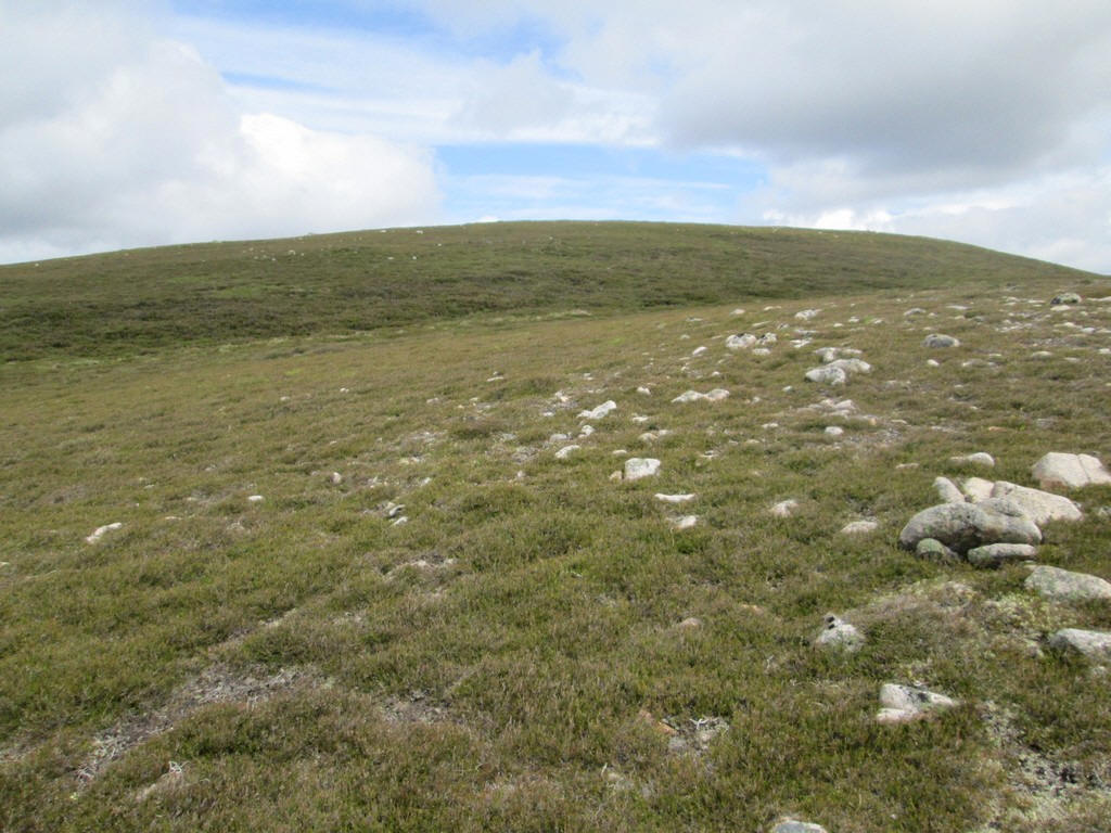
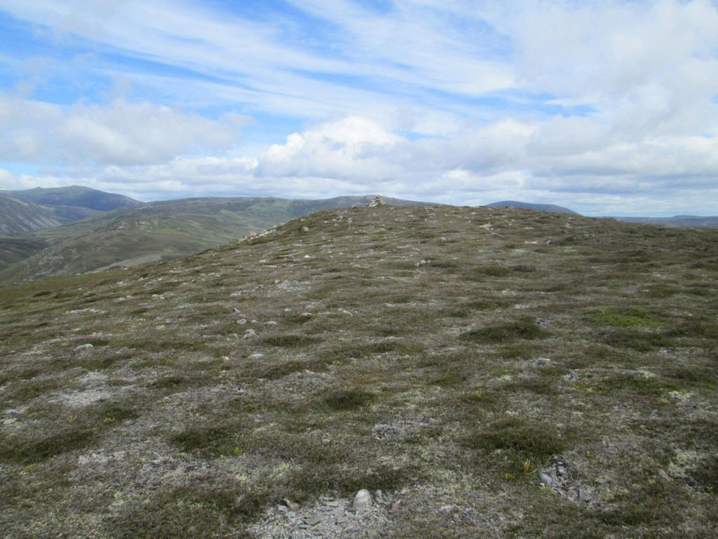
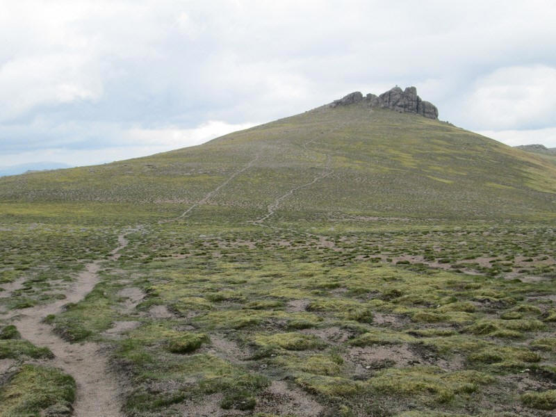
Confusingly, there's a fairly significant cairn looking at about the 800m contour, but this isn't the summit...

...which lies some distance away
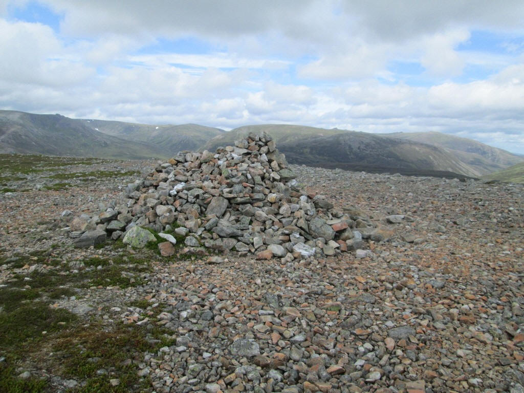
...at 818m above sea level. It had taken about three hours and a half hours from Linn of Quoich to the summit of Carn na Drochaide.
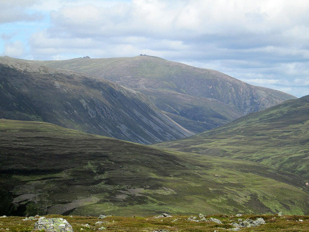
Beyond are Beinn a'Bhuird and Ben Avon.
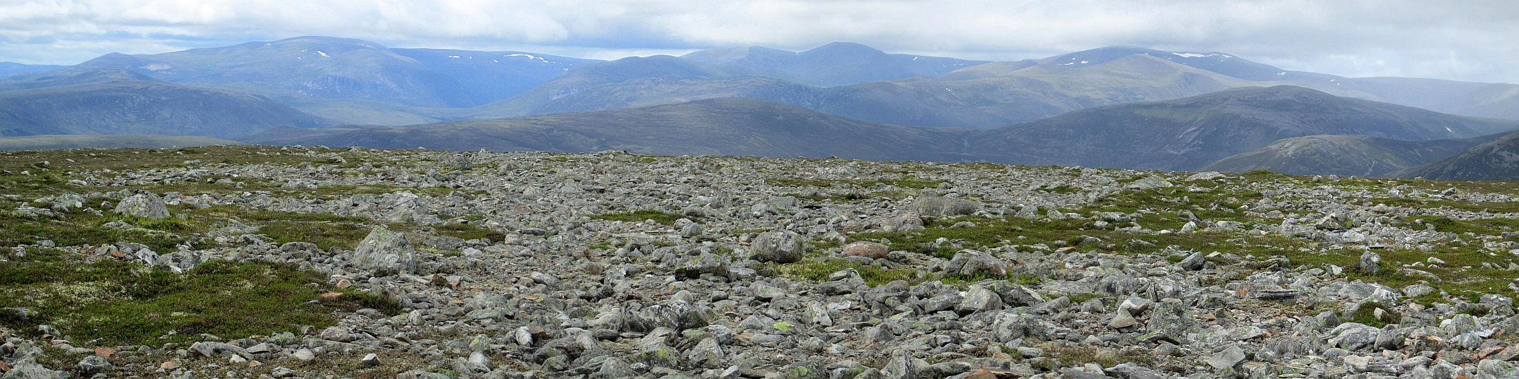
In the distance is a panorama of the northern Cairngorms which can be identified using the panorama diagram underneath.
From left to right: Beinn Bhrotain, Cairn Toul, Derry Cairngorms, Braeriach, Ben Macdui amd Beinn Bhreac.
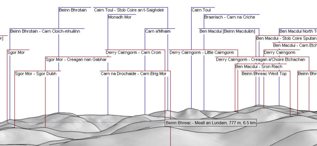
The panoramic diagram was produced using this website:
http://www.udeuschle.selfhost.pro/panoramas/makepanoramas_en.htm
On the way downhill the lighting and views were particularly good so I have included some more images of the mountains and glens.
The River Dee east of Braemar is in the foreground with Lochnagar on thr right.
Looking across to Ben Avon with Creag an Dail Bheag on the right and the Glass Allt Beag flowing down into Gleann an t-Slugain.
Looking down Gleann an t-Slugain towards Invercauld
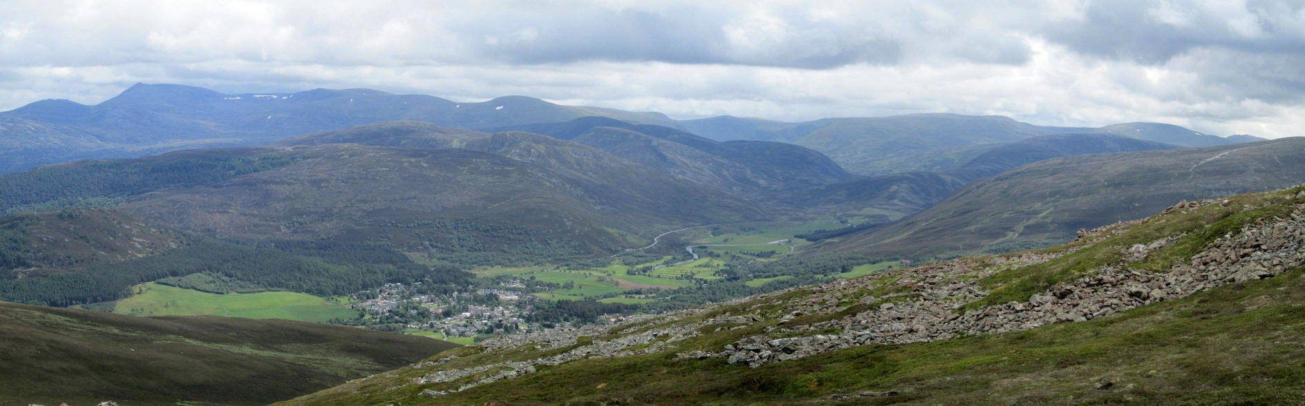
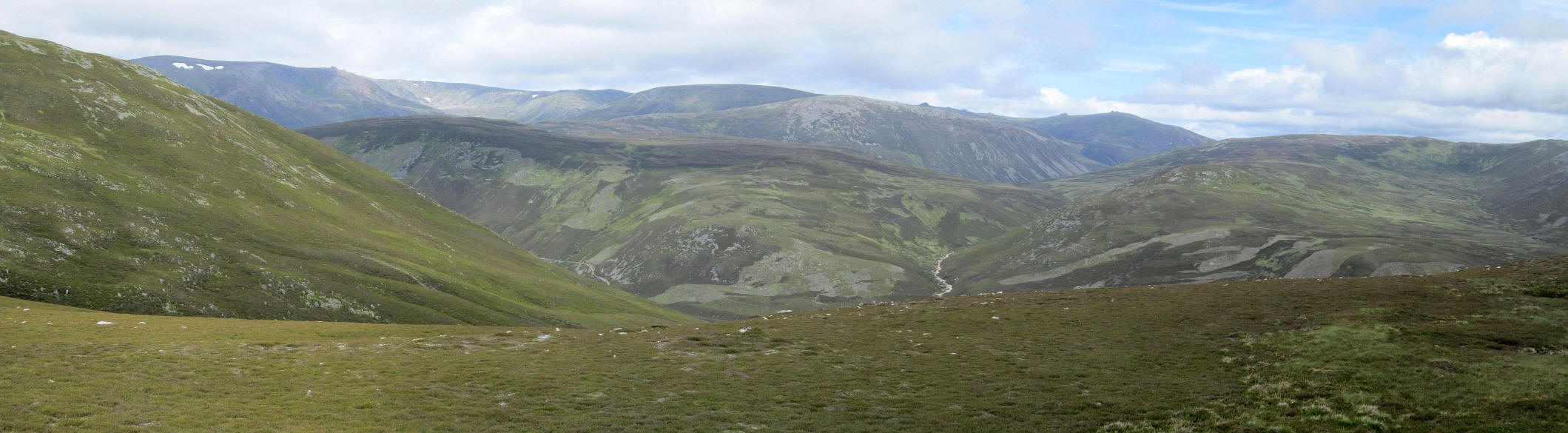
A panoramic photograph of the southern Cairngorms with Braemar in the centre.
Click on the photo for a larger image and then click again to see it full size.
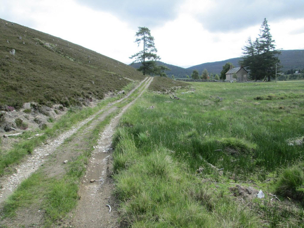
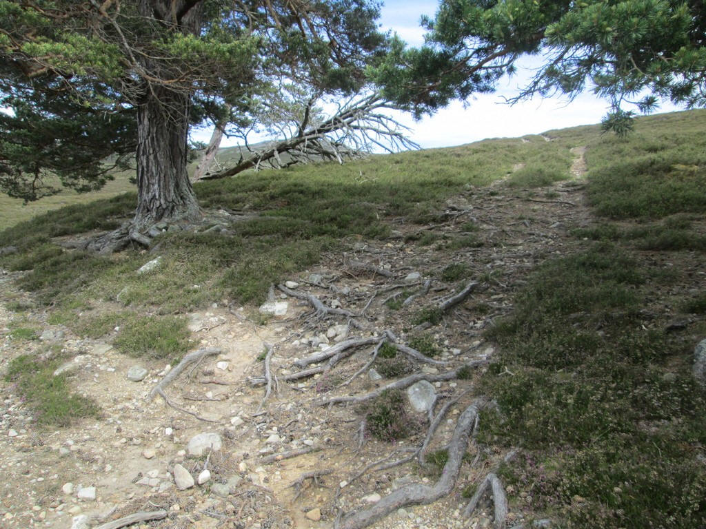
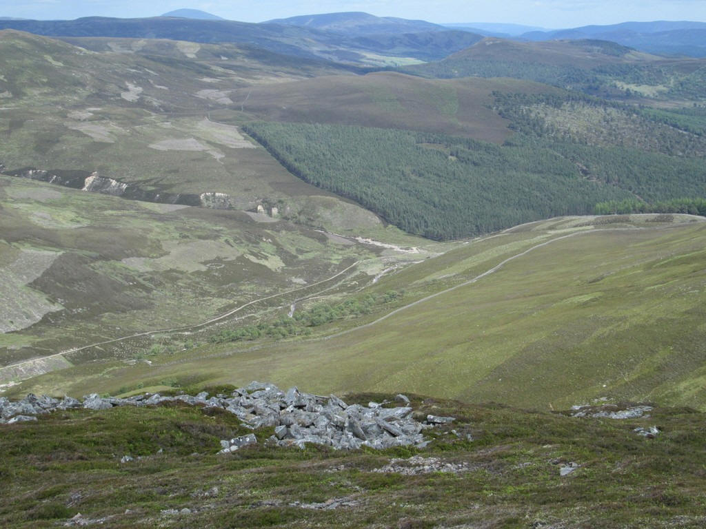
Rather than going over Creag a' Chleirich again I used a path that contours around its south western side. My GPS proved its worth again in returning m e accurately to the main track down into the valley.
i realised later that climbing Carn na Drochaide has brought me to a total of 200 Corbetts and Munros and felt it a fitting end to my 2018 holiday in Braemar.