Creag Mac Ranaich and Meall an t-Seallaidh
Now that I've reverted back to using public transport on my Scottish walking breaks I've been casting around for bases that can be used from which I can climb several hills. One such location is Lochearnhead. I could get there by taking the train to Stirling and then the bus to Callander followed by the local service between Callander and Killin.
However, there is an alternative to this convoluted route and where, for once, there has been an improvement to public transport. There are now three Citylink and four Ember coaches every day from Edinburgh to Lochearnhead.
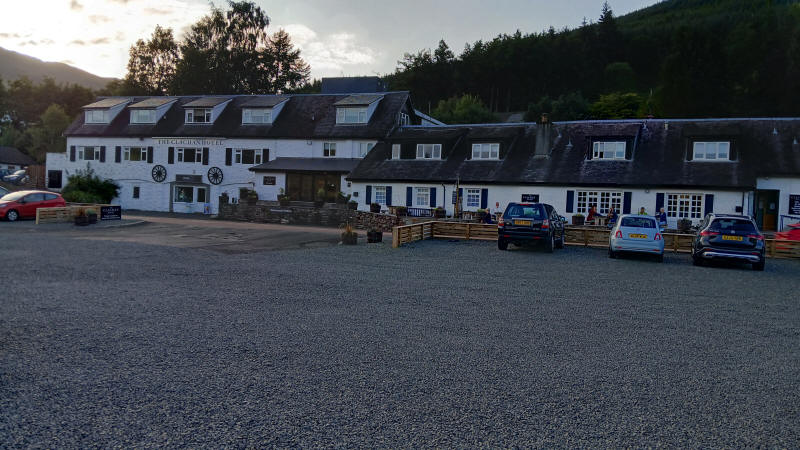
So after identifying three Corbetts within reasonable walking distance I booked a three night stay in the Clachan Hotel in July 2025.
I caught the 16.30 Citylink coach from Edinburgh bus station arriving in Lochearnhead almost on time just after 18:30. The hotel is about a ten minutes walk along the road to Crieff and Perth and is located right on the loch side.
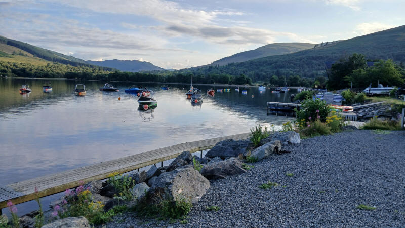
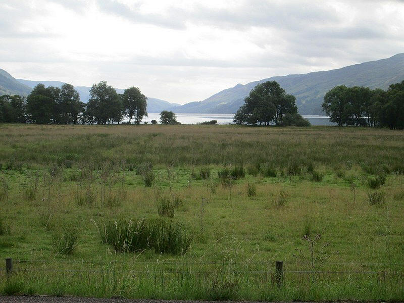
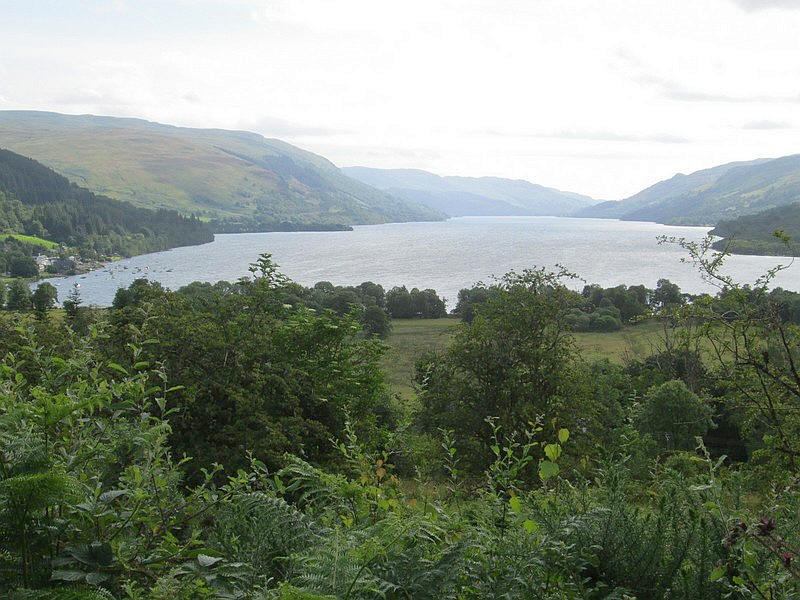
The head of Loch Earn
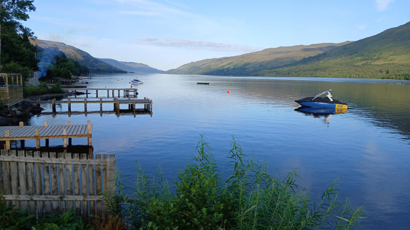
Looking east along Loch Earn towards St. Fillans.
My plan was to climb Creag Mac Ranaich and Meall an t-Seallaidh on the first day. On the second day I would climb the Corbett Meal na Fearna from Ardvorlich on the south side of the loch (see separate walk description).
The map shows my track taken from my GPS Spot personal tracker. Click on the square in the top right corner to see map full size.
I started the walk at about 9.30 and headed south along the main road towards Callander....
...with a view of the head of Loch Earn across the fields.
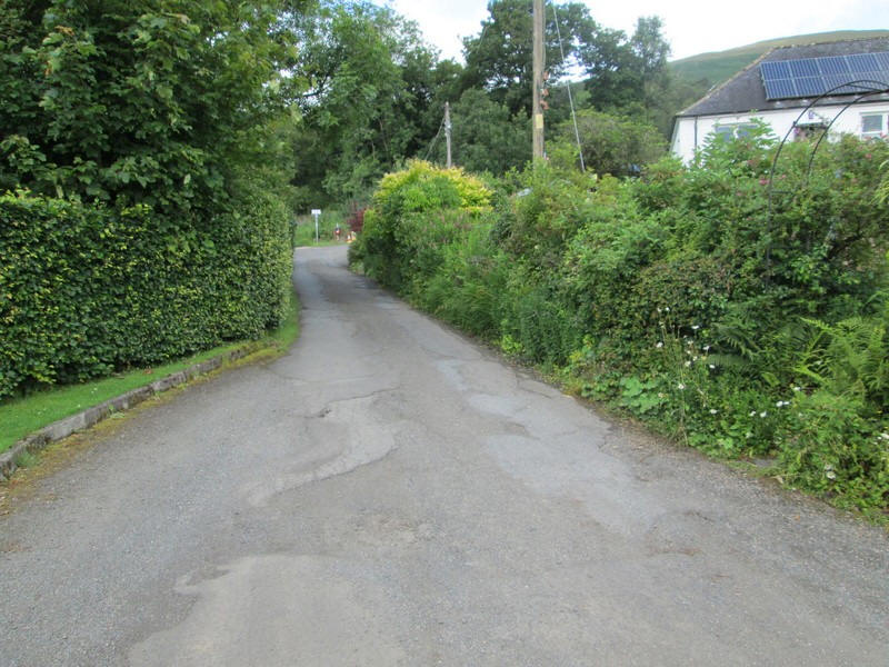
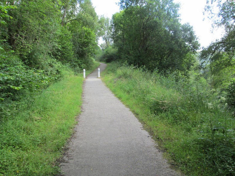
Many reports about this walk mention the difficulty of finding the correct route but I had no problems. The main road is left up a lane that goes....
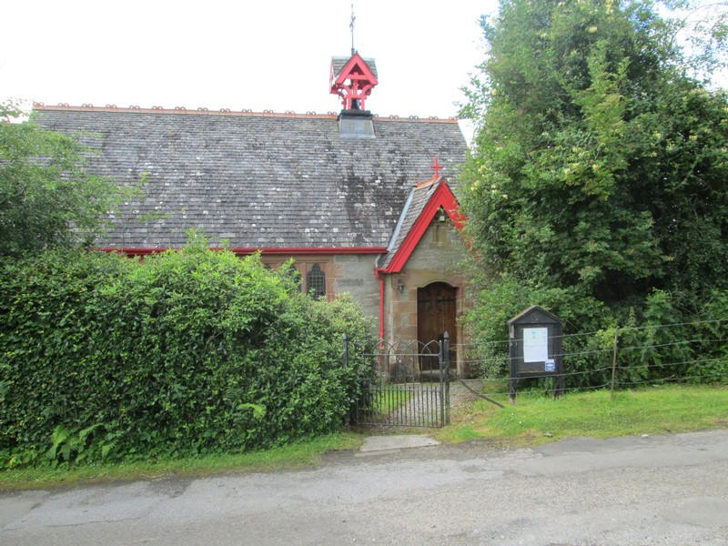
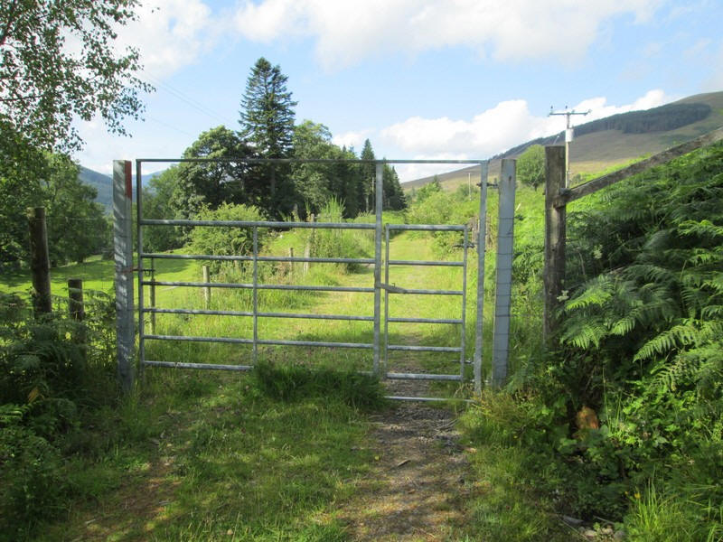
...past the small Scottish Episcopal church and then climbs uphill to a gate that gives access to......
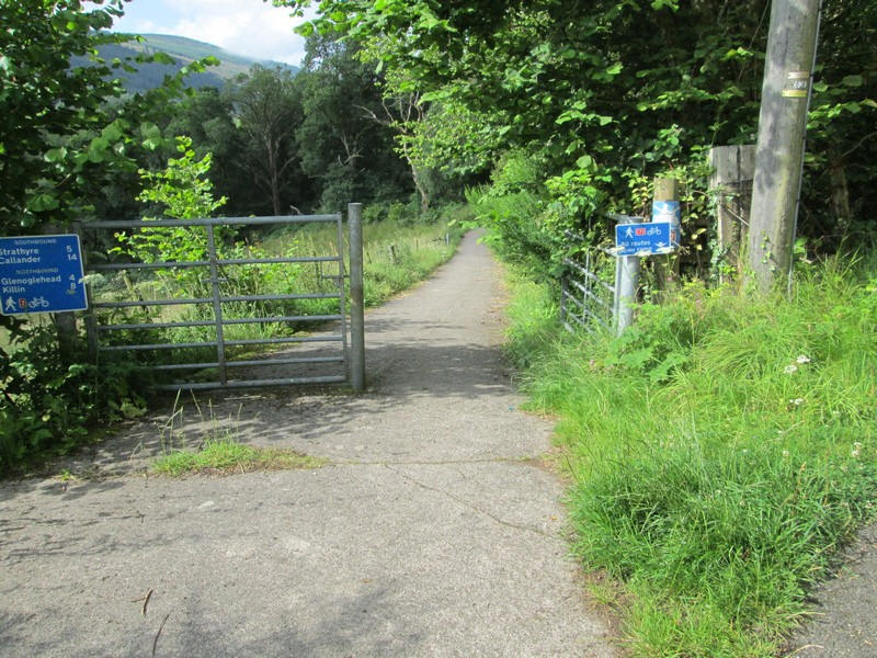
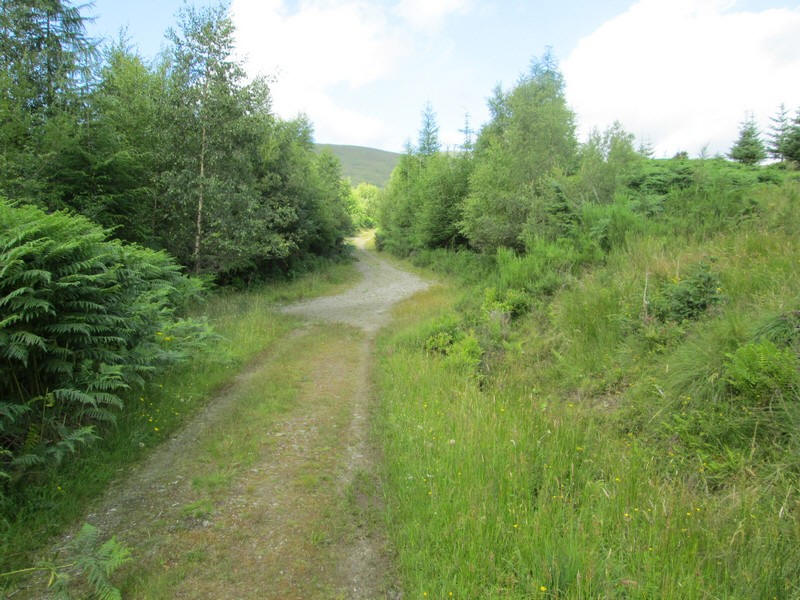
....cycle route 7 that follows the course of the two old railway lines that once existed here. The path leads down to.....
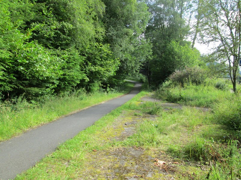
...a junction of the cycle route from Callander and Strathyre towards Killin. There's a sharp right turn off the access track onto the main cycle route which ....
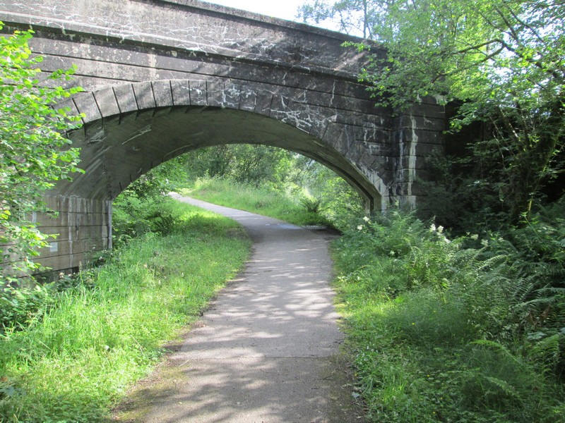
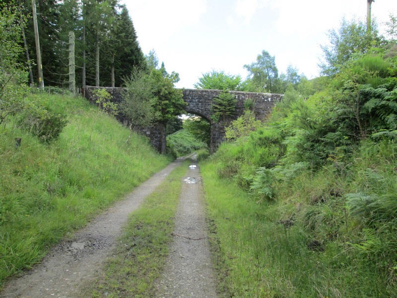
.......goes under this concrete road bridge. This was originally the course of the Lochearnhead, St Fillans and Comrie railway (later the Caledonian Railway). It opened in 1904 and closed in 1951. Almost all the structures on the line were built in concrete but cast to look like stone.
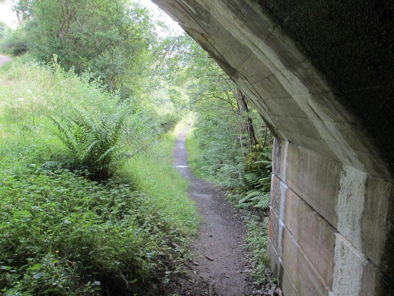
The old trackbed to Comrie and Crieff goes straight ahead under the bridge as can be seen here but the cycle track heads steeply uphill.
******************************************
The map below shows the railways of this area. The main railway was the Callander and Oban which opened in 1870 and closed in 1965 as part of the Beeching cuts but also because of landslides in Glen Ogle.
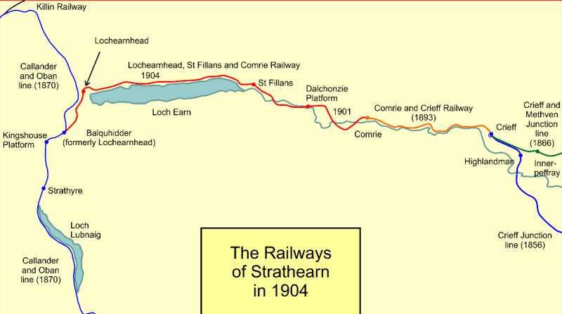
The map was drawn by Afterbrunel - Own work, CC BY-SA 4. and is reproduced here under the Commons Creative license.
****************************************
The cycle track zigzags uphill on a tarmac surface with bollards placed to slow cyclists riding downhill.
Loch Earn comes into view as the track climbs above the trees.
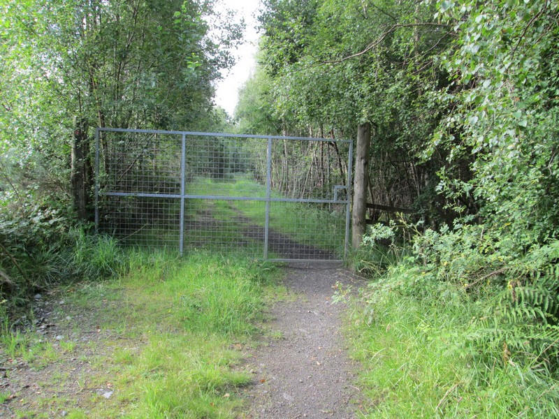
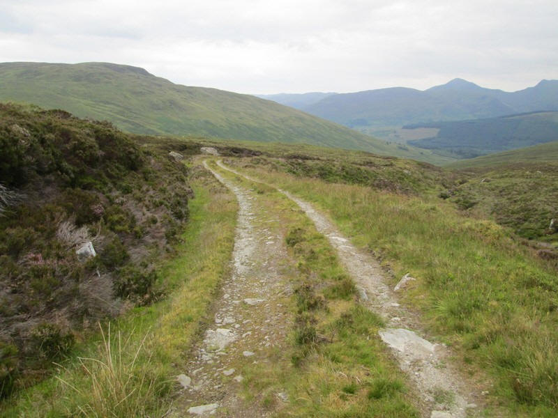
The cycle track now reaches the course of the Callander and Oban Railway and continues towards Killin through Glen Ogle. To get to the hills we now do a sharp left turn and go through this unlocked gate.
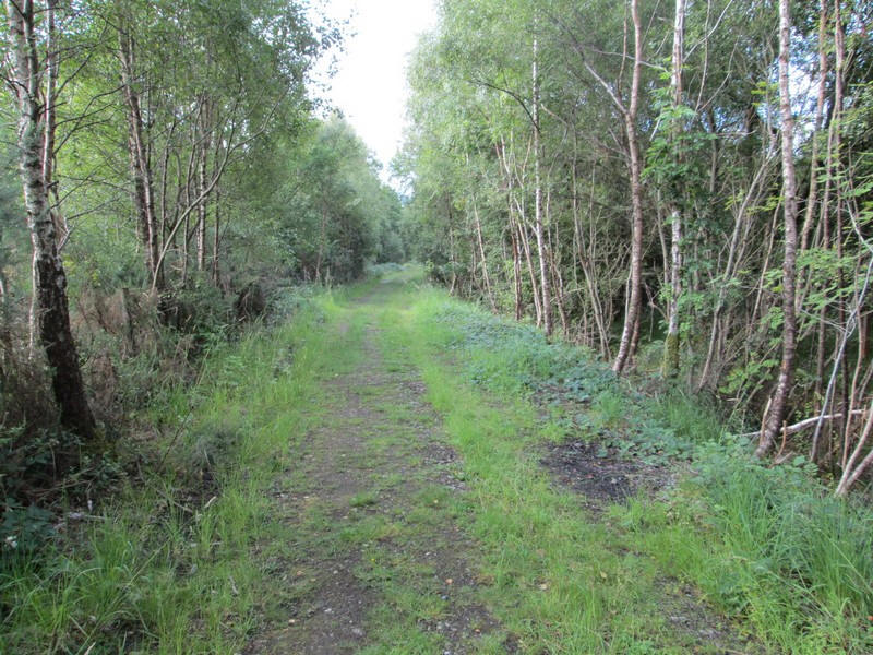
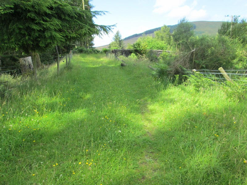
The track bed of the Callander and Oban Railway is still in good condition but this section isn't part of the cycle route.
There is a locked gate but with a pedestrian gate....
Eventually this bridge is reached and just before it .....
....a track goes off to the left and ....
....crosses over the bridge before....
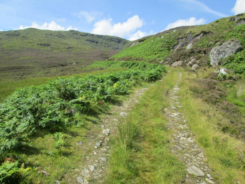
.....heading up Glen Kendrum at first through trees.
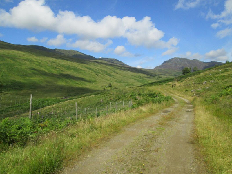
Once beyond the plantation Glen Kendrum opens up and the two hills at the head of the glen can be seen. On the right is Creag Mac Ranaich and on the left Meall an t-Seallaidh. By now the temperature had risen into the 20s Celsius and for most of the day it was shirt sleeves weather.
The track drops down to a ford over the Kendrum Burn.
Looking back the Munros Ben Vorlich (on the left) and Stuc a'Chroin (on the right) dominate the skyline.
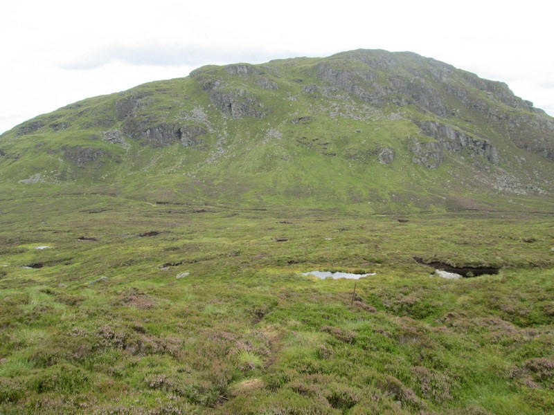
The track twists around a knoll and for a time Creag Mac Ranaich disappears from view...
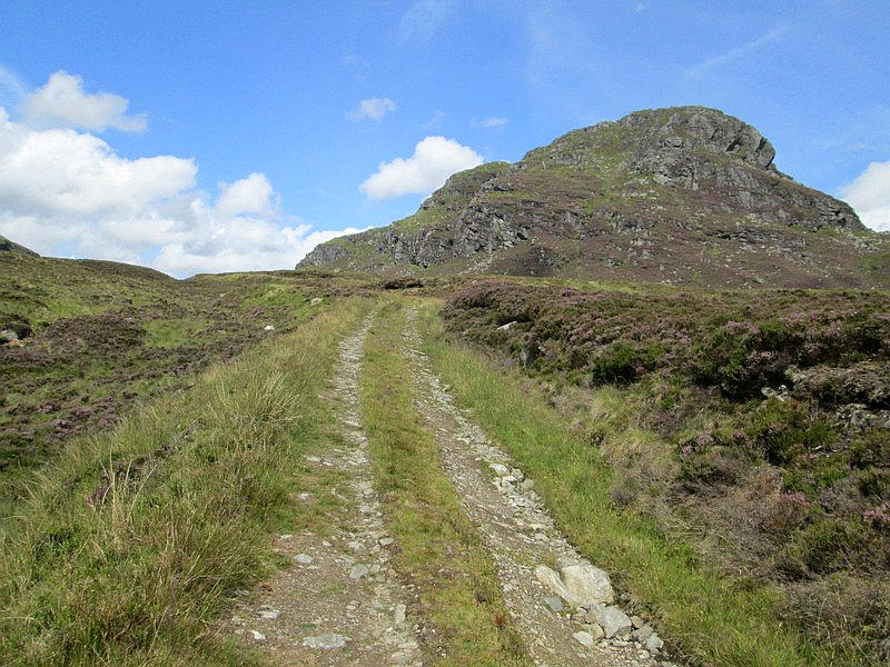
...until it suddenly reappears. "How am I going to get up that?" were my thoughts!
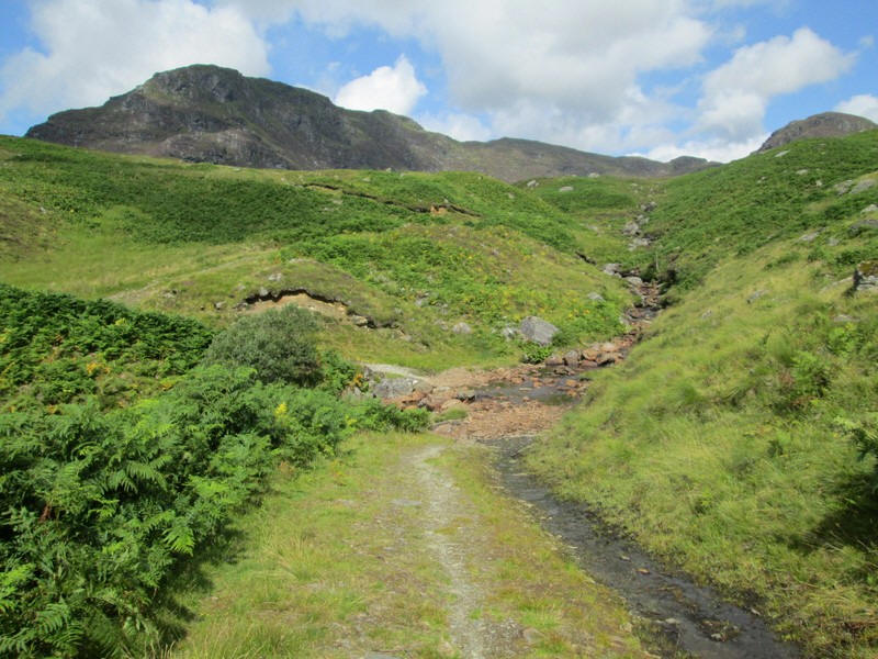
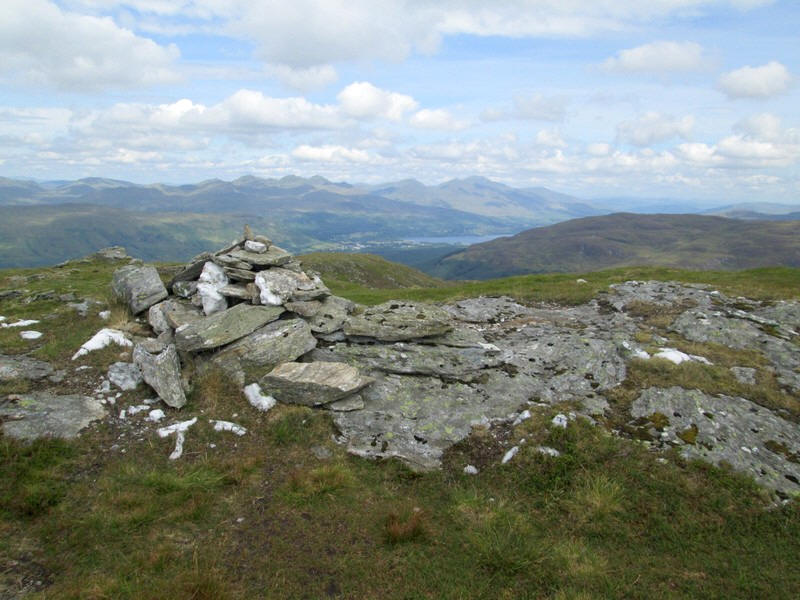
Approaching the pass, which is 600m above sea level and exactly 500m above Loch Earn.
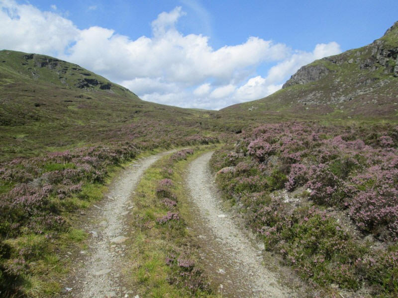
Surprisingly, the bealach isn't named on the OS maps. There is supposed to be a small lochan here but with the dry summer of 2025 it was just a peaty hollow. The walk from Lochearnhead is just over 5 miles and had taken just under about two and a half hours and I was more or less on time according to my route card.
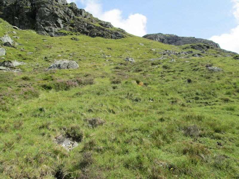
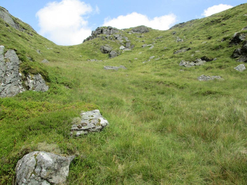
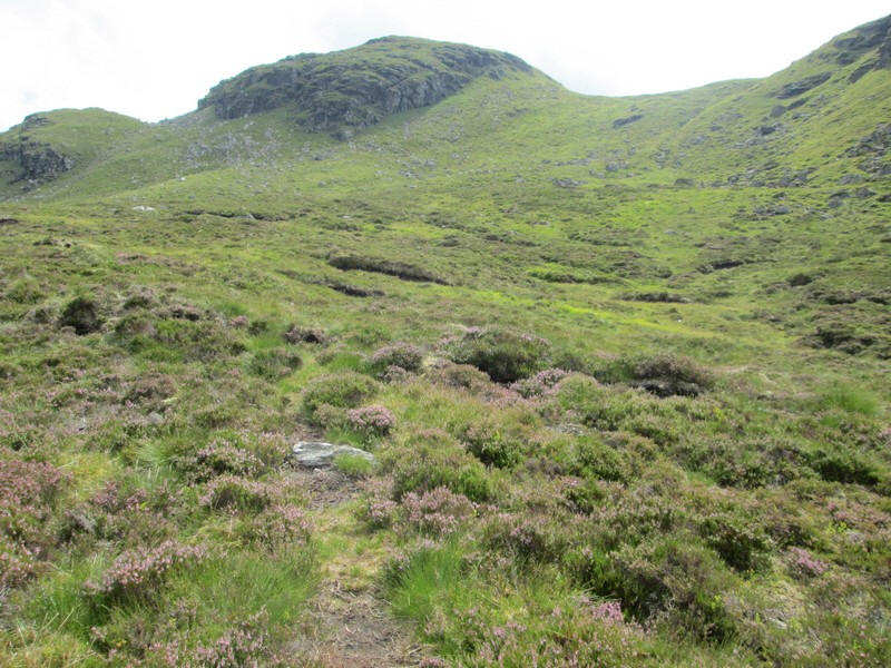
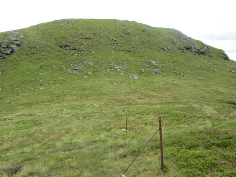
Like most Corbetts paths on these two hills are almost non existent. There are some signs of footsteps leading up from the main track....
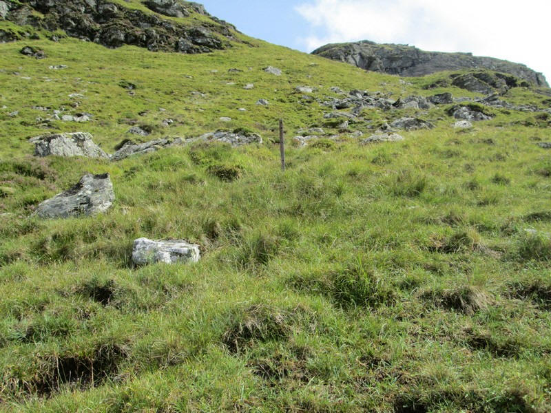
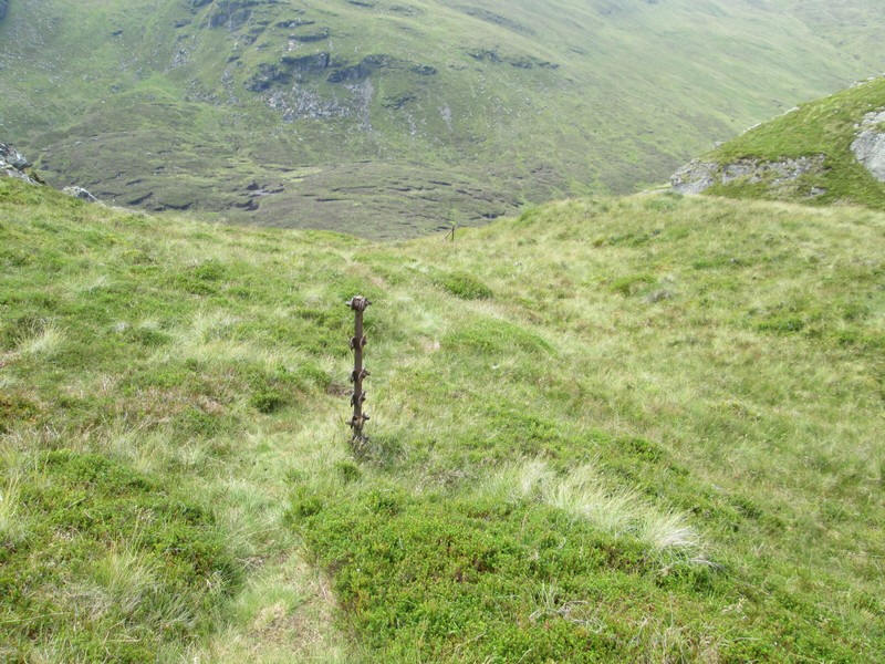
.....and before long I come across a metal fence post.
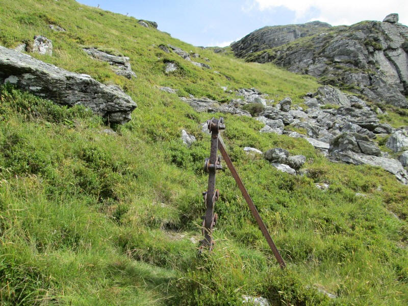
...and a little further on another one. You might say that this is a "developing track"
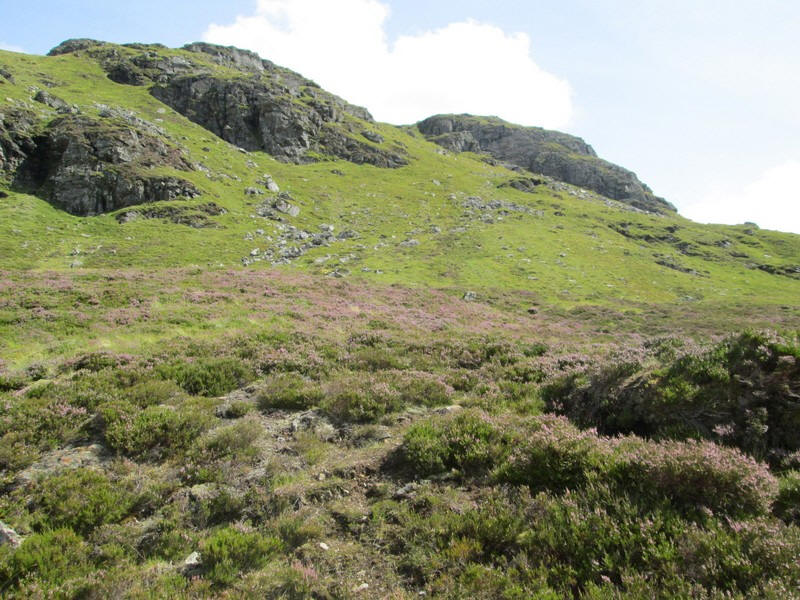
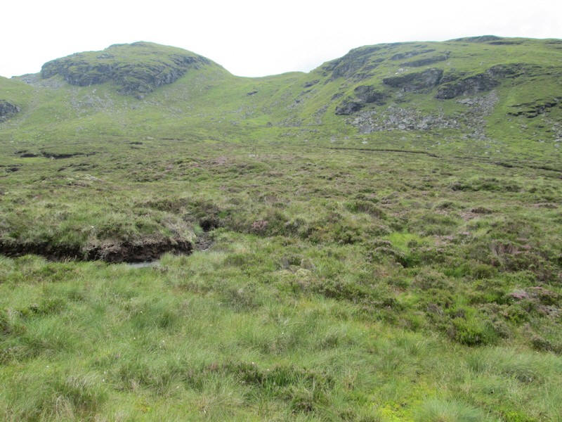
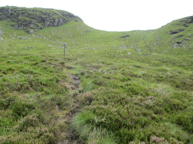
Looking down to the bealach with Cam Creag directly ahead and the summit of Meall an t-Seallaidh over to the left.
The way up Creag Mac Ranaich is steep and I was making slower progress than I'd expected.
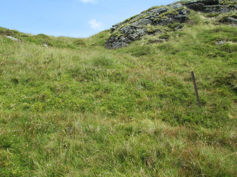
Another fence post appears...
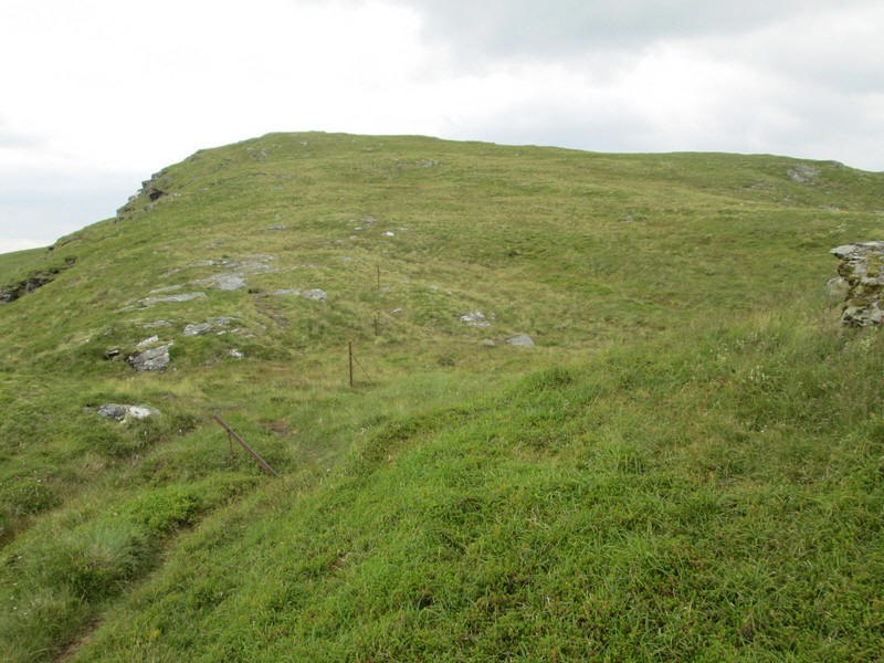
....and the gradient slackens as the south ridge of the hill is reached.
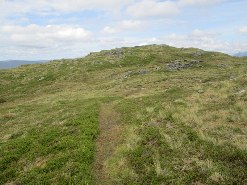
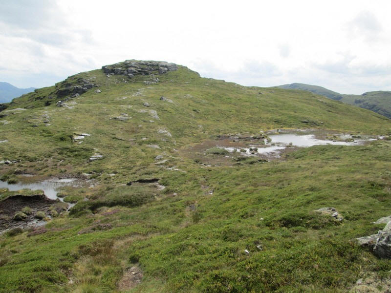
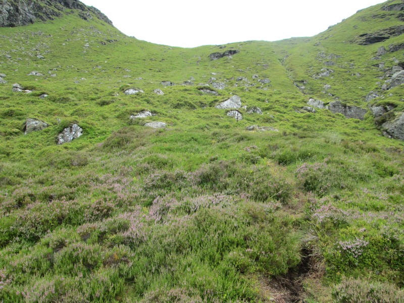
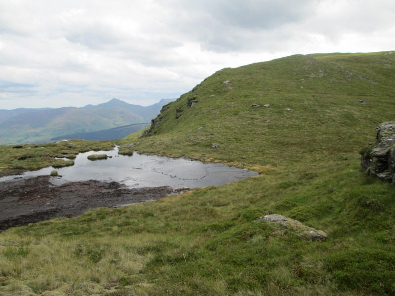
Not surprisingly, there is a fairly clear track as the 808 metre spot height is reached....
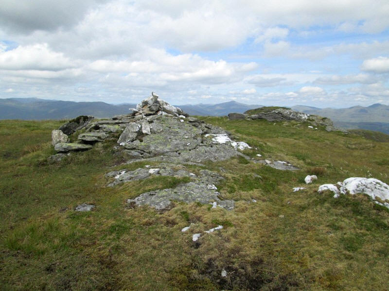
....and the cairn on it. However this hill has a bit of a nasty surprise as the real summit, which is just one metre higher, is further on. I wonder how many walkers have been fooled by this first cairn especially in misty conditions.
So it's on for a few more hundred metres with a drop down to a lochan....
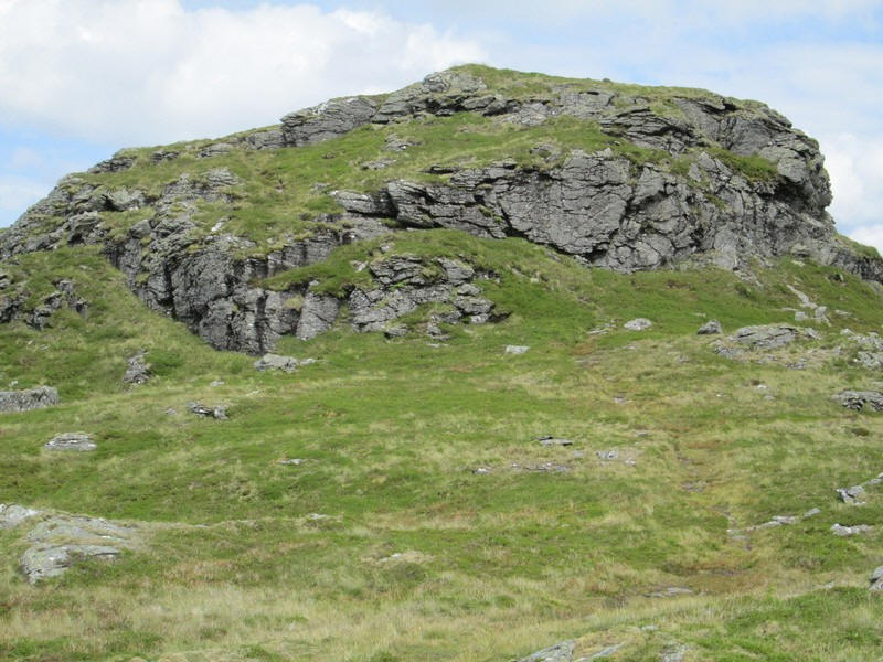
...and then a rather formidable looking rock formation below the actual summit. Luckily there's a clear path up to the top traversing from bottom right to the left up a grassy rake..
I'd expected to have taken about 40 minutes from the bottom of the hill to the summit but it had actually taken me about 70 minutes.
However, a time of three hours and forty five minutes from Lochearnhead compared to my expected three hours and ten minutes wasn't too bad!
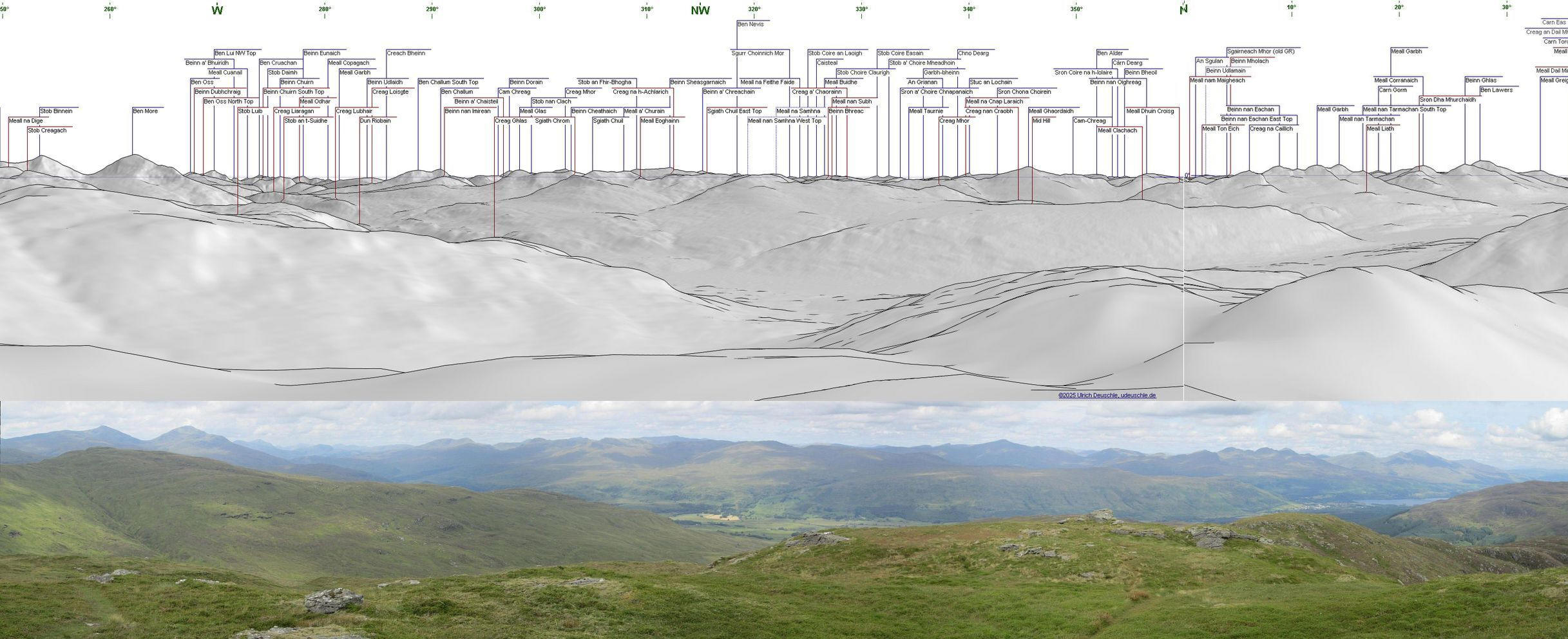
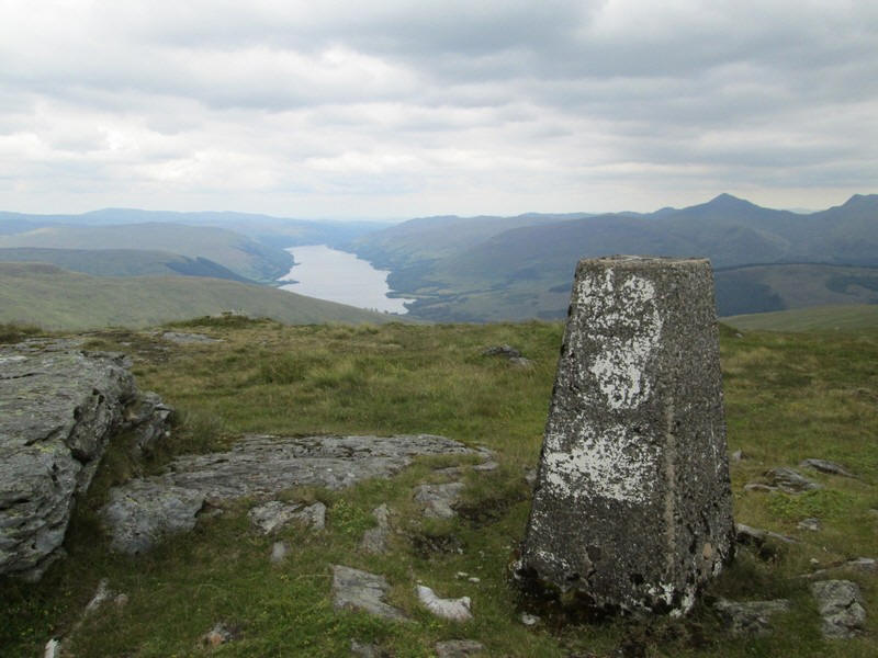
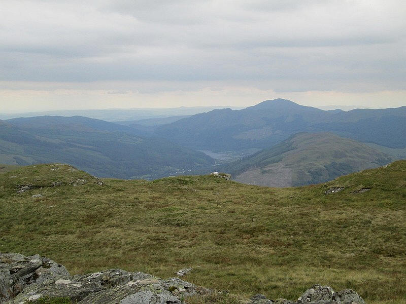
The view looking north from the summit with a panorama diagram shows the extent of the view from Ben More on the left across to Ben Lawers on the right. That is distance of about 20 miles between these two hills.
Click on the image to see a larger image and the click again to see the full size one.
The panorama was generated using this website:
https://www.udeuschle.de/panoramas/makepanoramas_en.htm
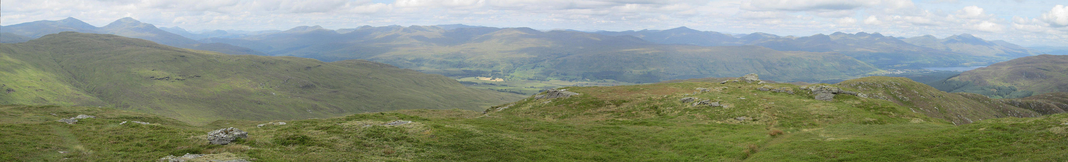
The same panorama but without names.
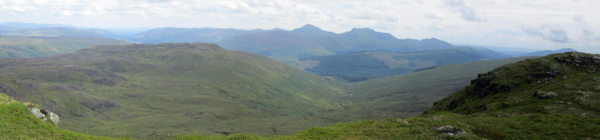
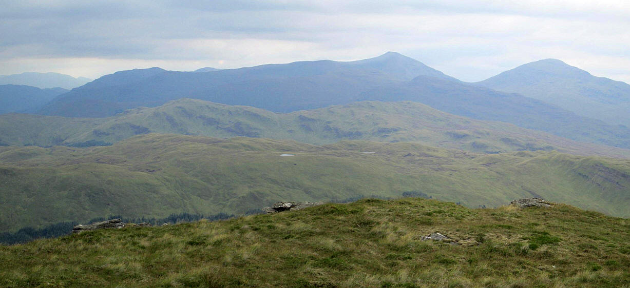
Another clickable panorama looking south east towards Ben Vorlich and Stuc a'Chroin.
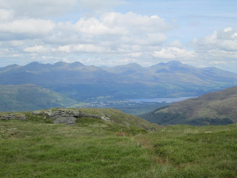
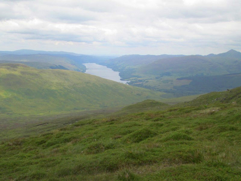
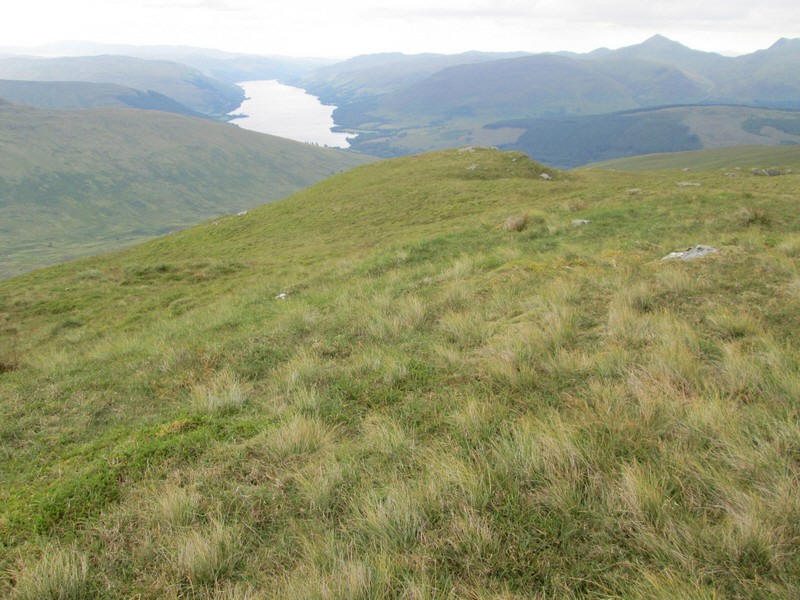
Looking down to Killin at the head of Loch Tay with the Ben Lawers group of hills above the loch.
A zoomed in view of Ben Nevis about 35 miles away.
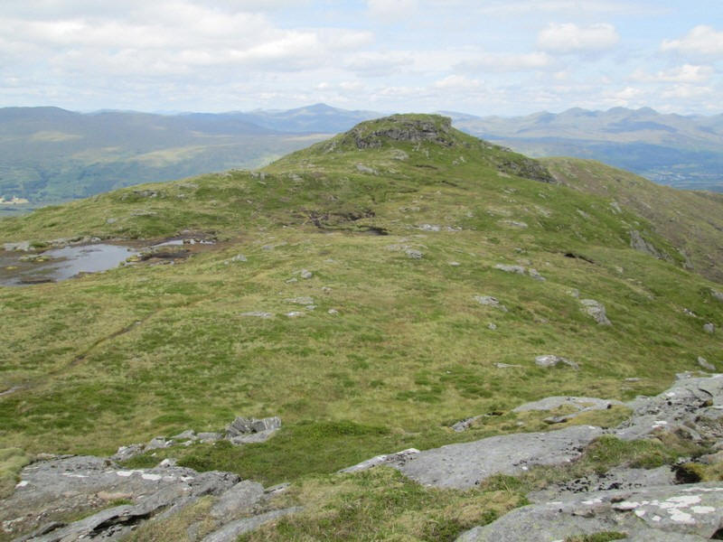
After a break for lunch in the sun and a chat with the only walker I saw that day, I set off back downhill. This is looking across to the 808m top.
I'd entered a few waymarks into my GPS to make sure I found the line of old fence posts on my way down as I think it would be easy to miss the safe descent route. One of these was at NN 54384 25090.
The descent to the bealach took longer than I expected because of the steepness.
Once back at the bealach the other walker caught me up and retrieved his bike from behind a rock. He'd climbed both hills and was looking forward to the ride down Glen Kendrum. Needless to say another ten minutes or so was spent comparing experiences.
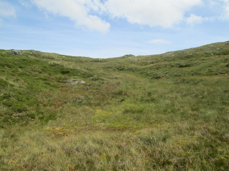
There was a faint path across the bealach again following the line of decaying fence posts.
In places the track was quite clear but higher up....
.....disappeared in a jumble of rocks.
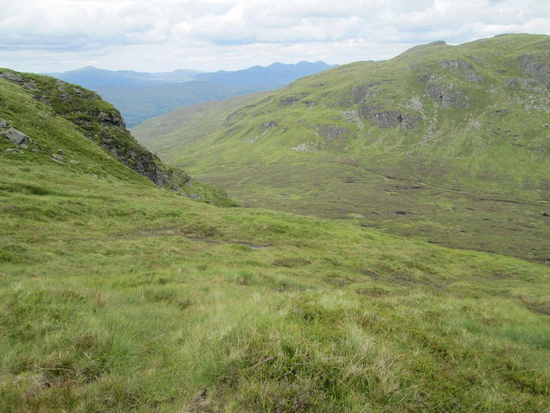
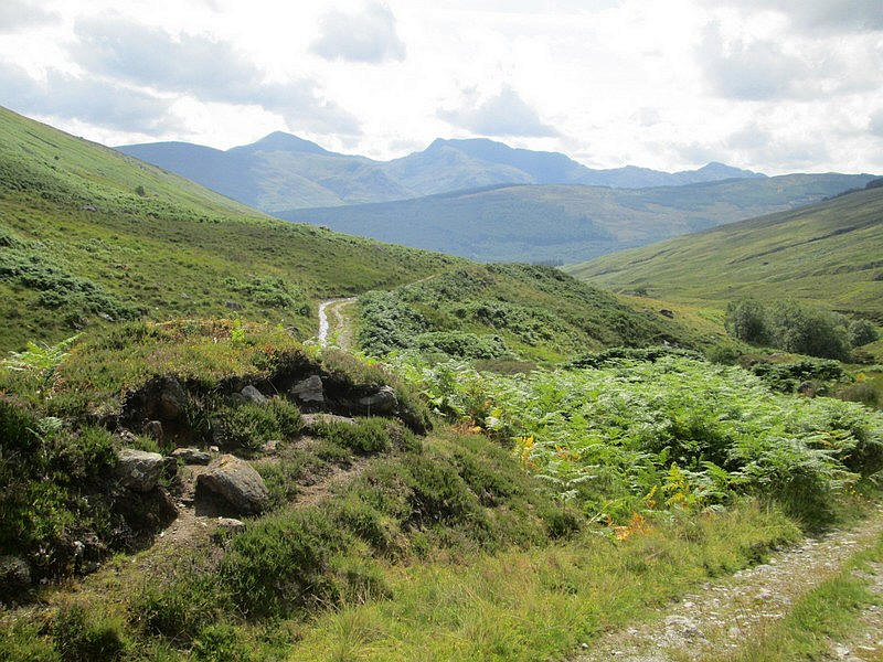
Looking north down Gleann Dubh towards Glen Dochart .
Looking back across to Creag Mac Ranaich
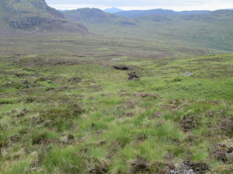
To save time and effort I'd decided that I wasn't going to climb over the summit of Cam Creag but skirt around it to the right - the south west side.
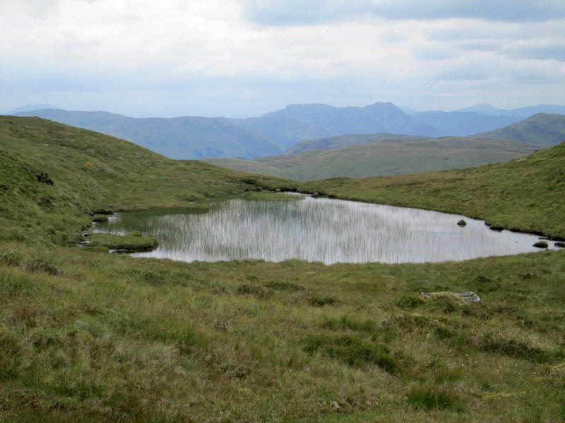
There are several small lochans and generally it was easy walking over grass...
...but there are no paths apart from a few intermittent tracks probably caused by animals.
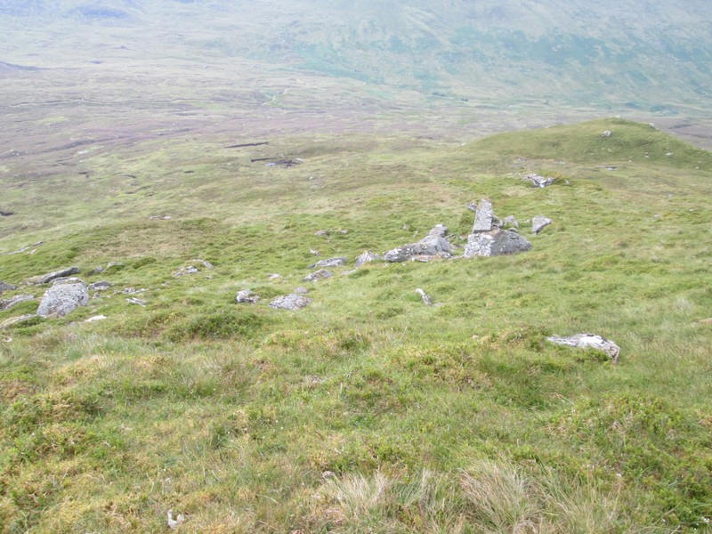
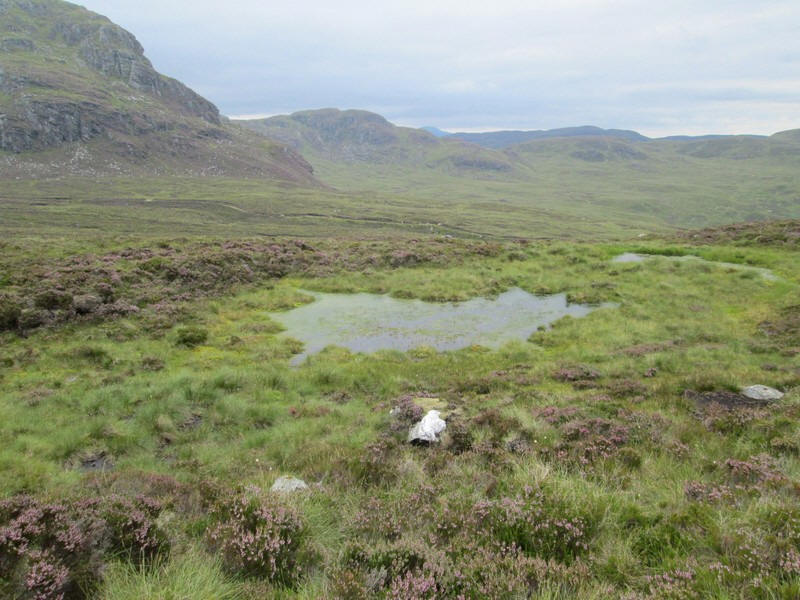
This partially dried up lochan was considerably smaller than shown on the OS maps and another sign of the dry weather .

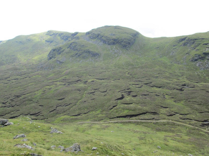
This view looking back to Cam Creag shows how much ascent and descent I avoided by not climbing it having skirted around the left hand side.
Loch Earn appears across Glen Kendrum.
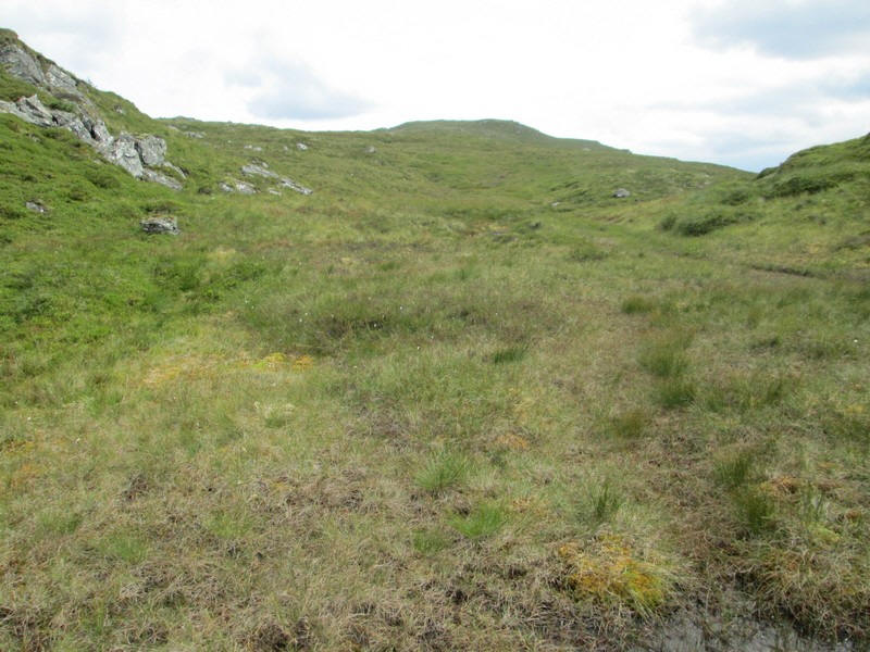
It's a final gentle climb to the summit. The fence shown on the OS maps over these hills no longer exists except as a few posts.
The trig point on Meall an t-Seallaidh at 852 metres is the highest point of this day's walk. It had taken me 6 hours and 15 minutes to get to this point, just over an hour longer than my timing sheet. However, I had taken it very carefully downhill of Creag Mac Ranaich, had numerous breaks for drinks of water and also spent time talking to my fellow walker so it's easy to see how time slips by!
Looking down to Loch Lubnaig towards Callander with Ben Ledi in the centre.
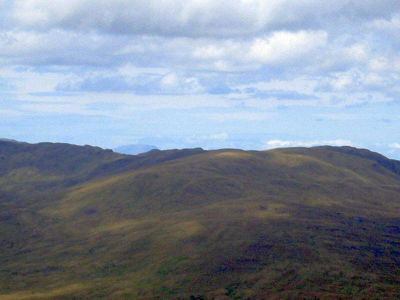
By this time the sky was becoming more threatening and cloudy. The hills here are near Crianlarich - from left to right Beinn Tulaichean, An Caisteal, Stob Binnein and Ben More.
I had considered retracing my steps to the bealach but in the end decided to descend directly to the vehicle track in Glen Kendrum, thus making it more of an interesting circular route. I dropped down the south east ridge over grass to avoid the crags on the east side of Meall an t-Seallaidh
Initially, it's an easy walk downhill over grass
...but lower down it becomes a little marshy and there are banks of heather to negotiate so progress was slow.
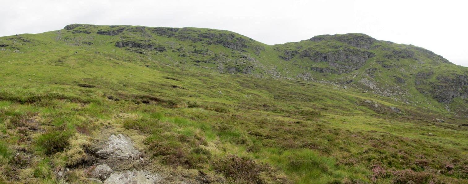
Click on this photo of the crags on Meall an t-Seallaidh and Cam Creag to see a larger image.
It's a trudge of over a mile across the glen floor to reach....
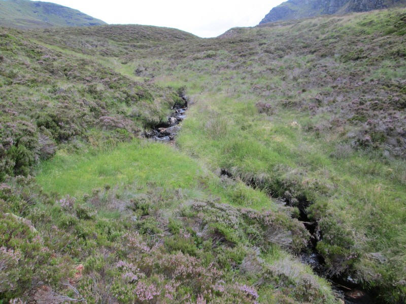
....the Allt Creag Mac Ranaich which was easily crossed
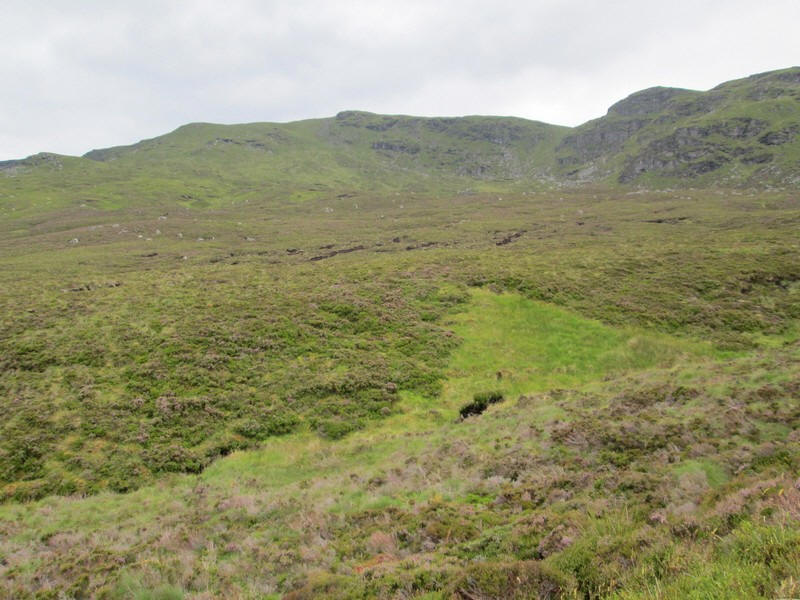
Looking back towards Meall an t-Seallaidh - it's a descent of about 360 metres and took just over an hour of careful walking.
I was back on the estate road about an hour and twenty minutes later than expected. Fortunately the rain held off until I was on the road. I was back in Lochearnhead nine and a half hours after I started. A superb walk with excellent views.