Creag nan Gabhar
Click on the square in the top left hand corner to see a larger map.
The weather forecast for this day in August 2017 was poor for the higher Cairngorm hills so I decided that one of the slightly lower Corbetts would be a better choice.
Creag nan Gabhar lies a few miles south of Braemar on the main road to Perth. It turned out to be an easy climb but the second half of the walk, on the return, was much more "interesting" navigationally.
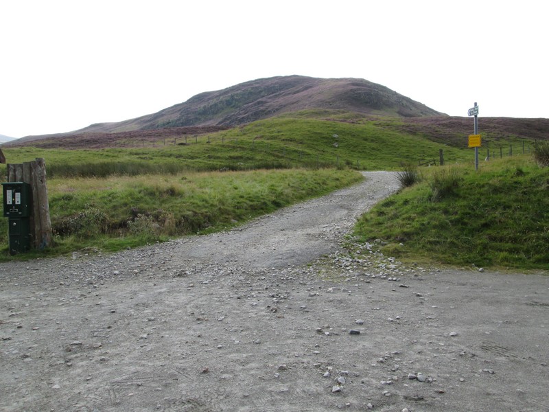
The estate in which Creag nan Gabhar is situated have provided a pay and display car park, with the walking starting straight from the parking area up the estate road to Lochcallater Lodge.
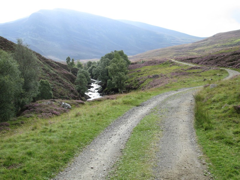
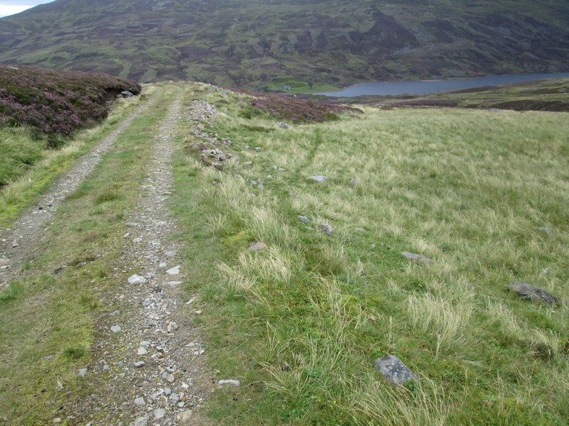
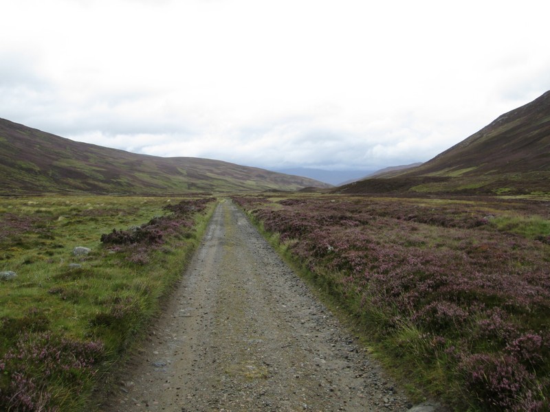
The track climbs alongside the Callater Burn...
...and soon there's a good view of the hill straight ahead in the distance.
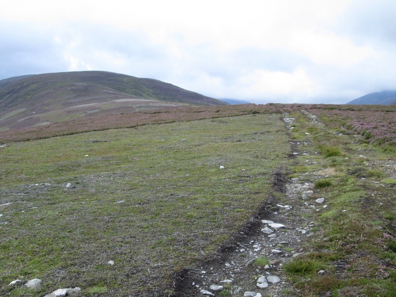
After about a kilometre there's junction with a shooting track which zigzags steeply up the slopes of Sron Dubh...
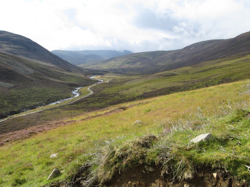
....giving good views up the glen. The return part of this walk comes down this track from the lodge.
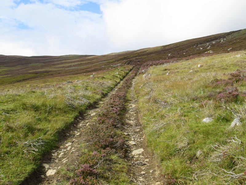
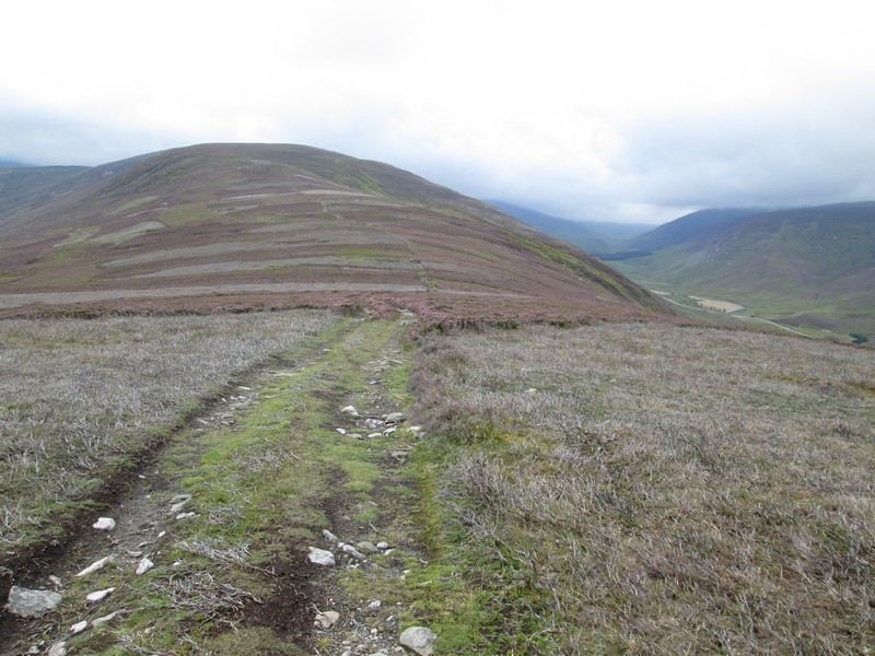
The shooting track leads uphill...
...until eventually it reaches the heather covered main ridge.
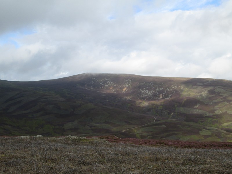
Over to the west is Morven, another Corbett with the vehicle track to the mountain rescue radio mast clearly visible.
Having gained height there's a delightful ridge walk all the way to the summit with the first rise up to Sron nan Gabhar ahead.
The track dips a little to a col...
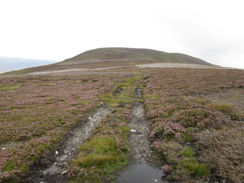
...before rising through the heather.
As the path crosses the slopes of Sron nan Gabhar the summit of Creag nan Gabhar comes into view.
The path bypasses the cairn on Sron nan Gabhar.
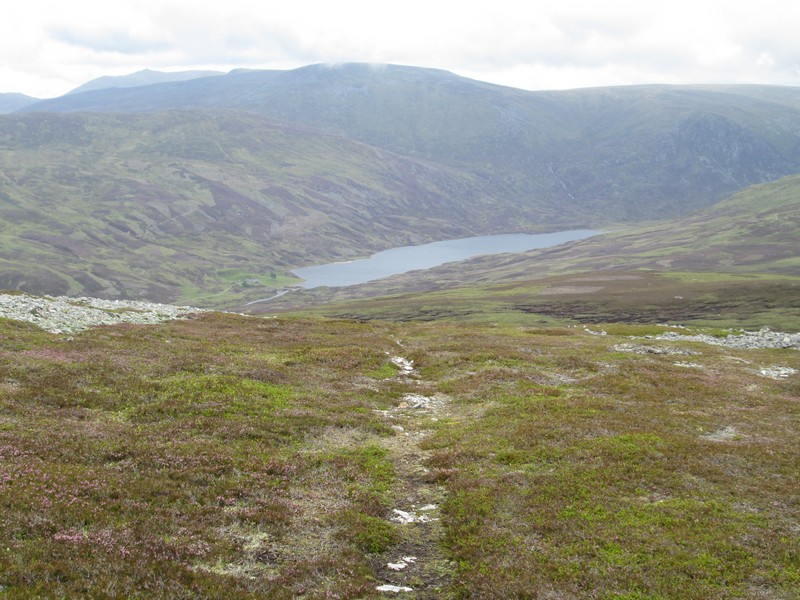
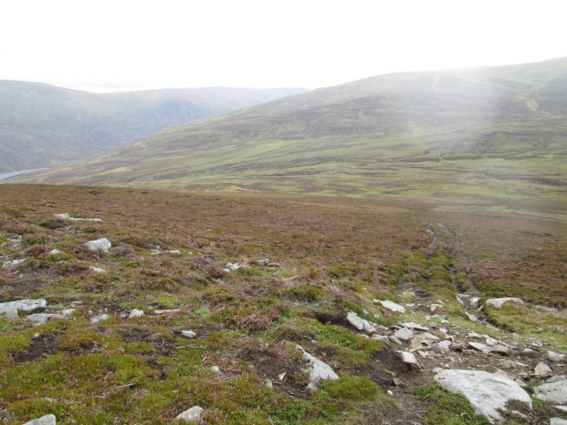
There's another slight drop...
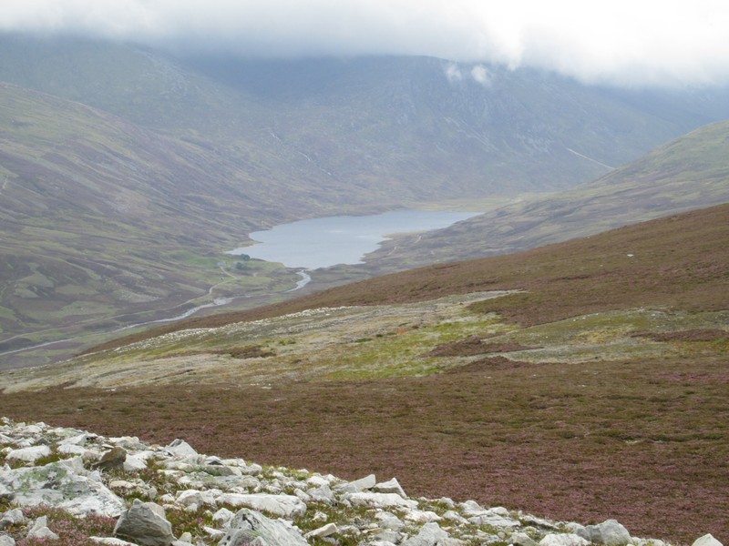
...and it's about this point that Loch Callater comes into view. The return part of this walk drops down to the burn at end of the loch.
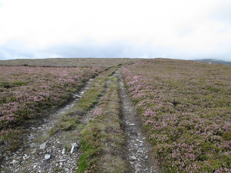
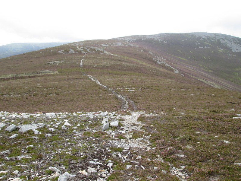
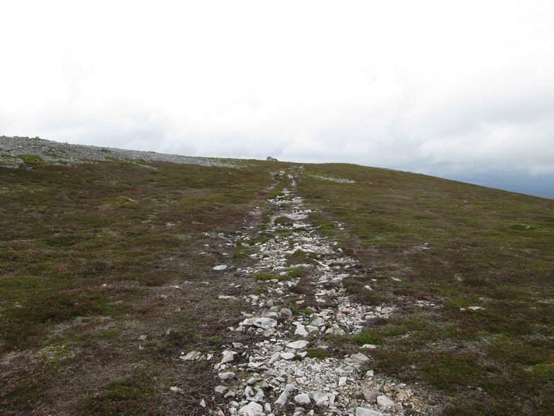
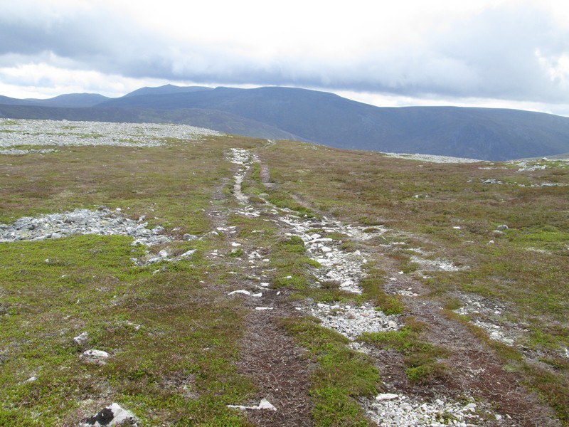
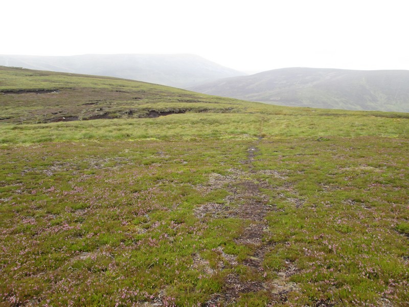
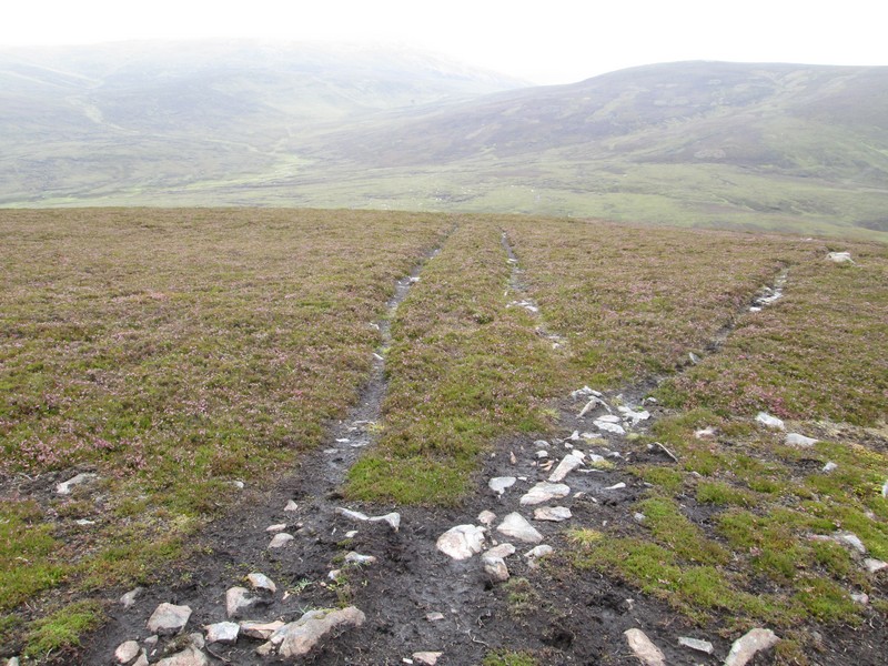
The way ahead is clear and there are several cairns should...
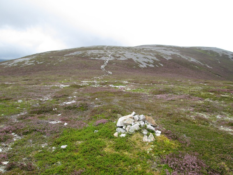
...you happen to lose the track.
The summit of Creag nan Gabhar is located to the south west on a spur off the main ridge so spotting this faint track I turned off to the right. It's actually easier to continue a little further along the clearer path to a cairn and then follow the path from there to the summit.
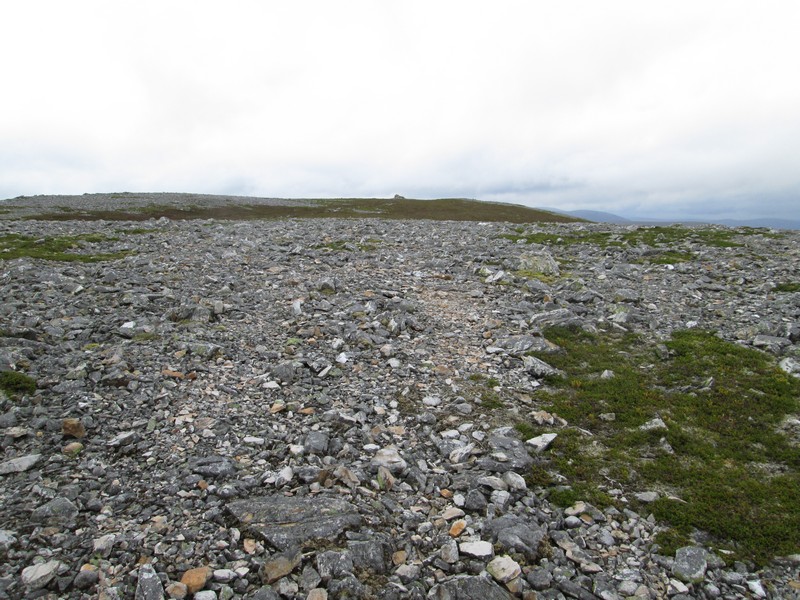
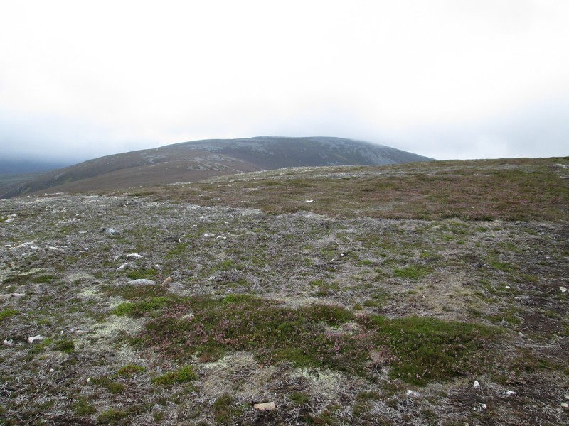
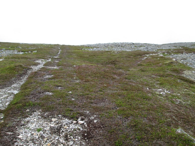
The summit dome of the hill is strewn with rocks...
...but I soon come across the main path....
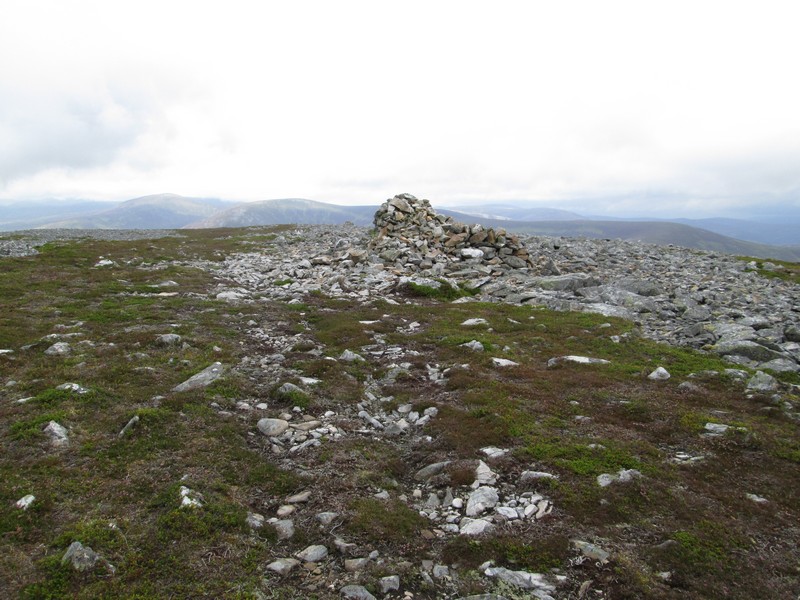
...and arrive at the summit cairn. Sron Gabhar is 834 metres above sea level. The views from the summit westwards towards the high Cairngorm hills were poor with all being shrouded in cloud, so there are no photos in this direction I'm afraid.
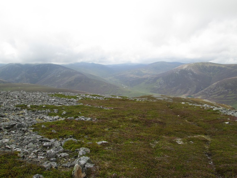
From the summit there were views looking down into Glen Shee and to Carn Aosda on the left of this photograph and up the valley of the Baddoch Burn towards An Socach on the right.
After a break at the summit I headed east along the main path with Lochnagar dominating the background.
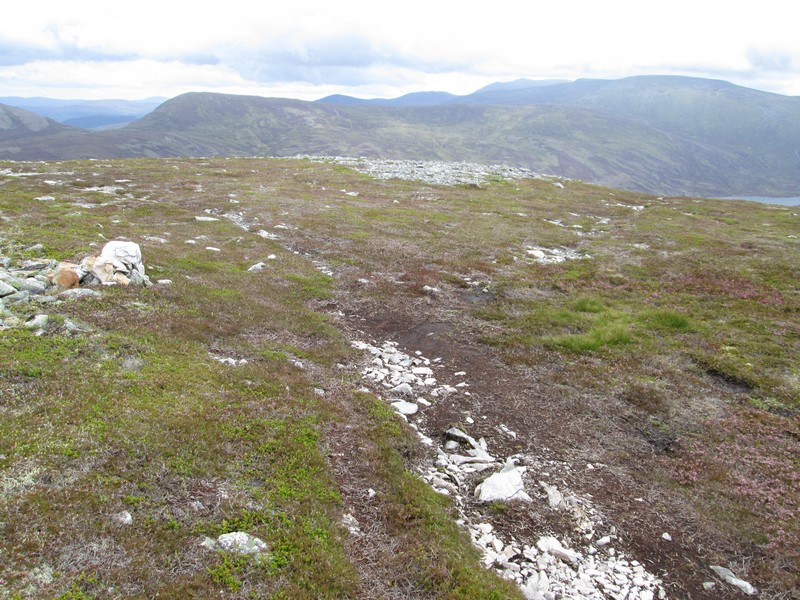
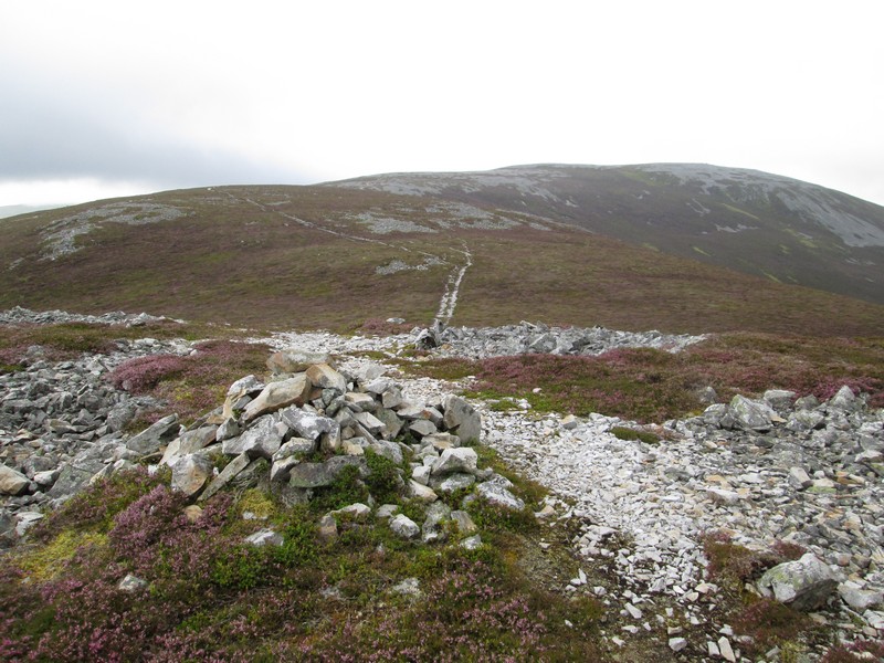
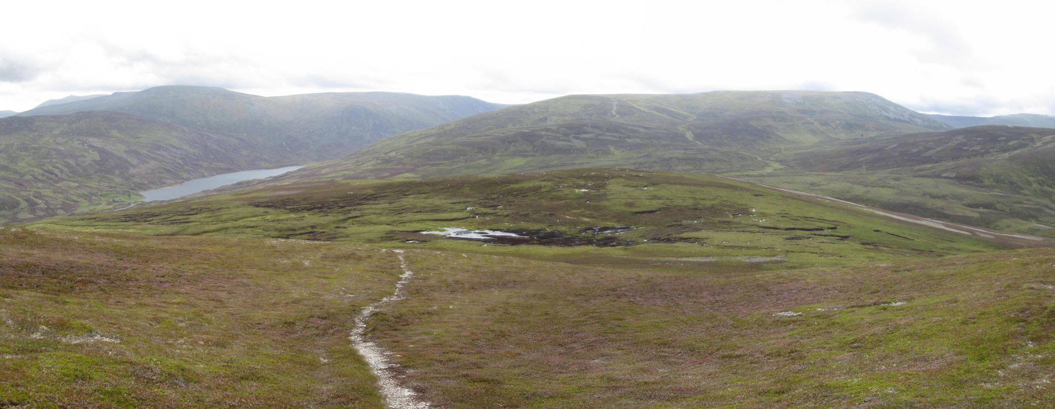
After a short disatnce the path splits at this cairn. The one to the left is the main path up the ridge from Sron nan Gabhar whilst, over to the left, is the track that leads down to Loch Callater.
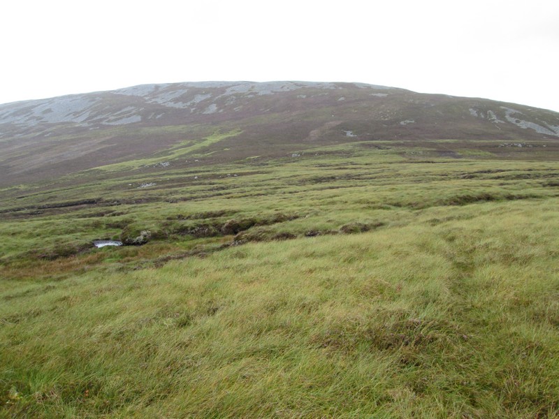
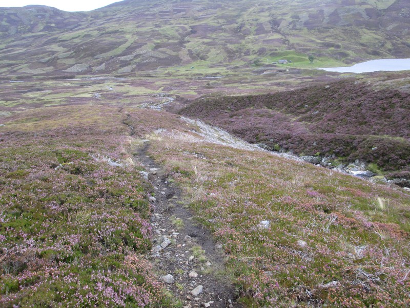
The path heads directly downhill towards the loch but there's a lot of navigation work to get there with dry feet! Above the loch is the 1047m high Carn an t-Sagairt Mor.
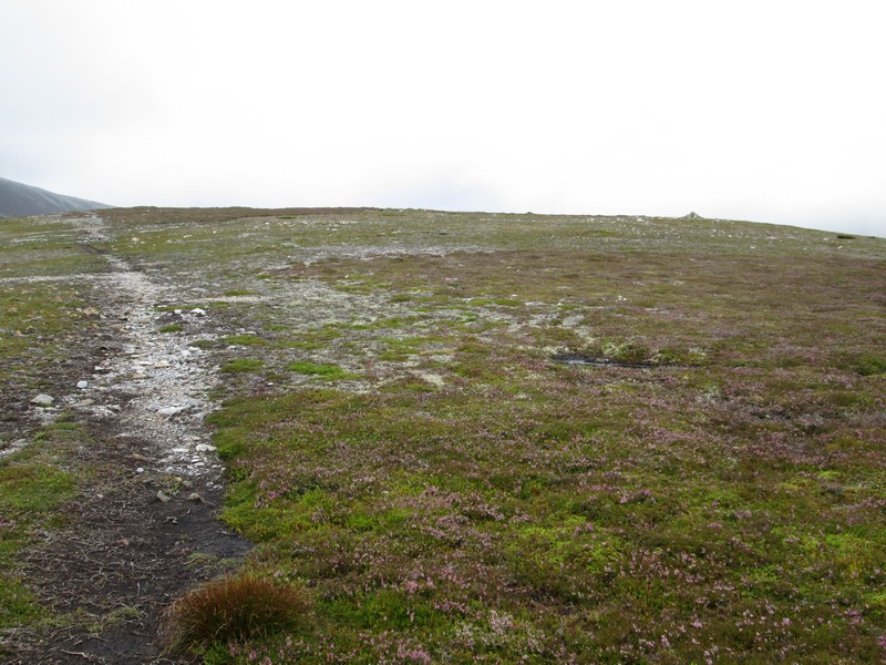
As can be seen the path is heading straight for that peat bog....
(Click on the photo for a larger image and then click on this again to see full size)
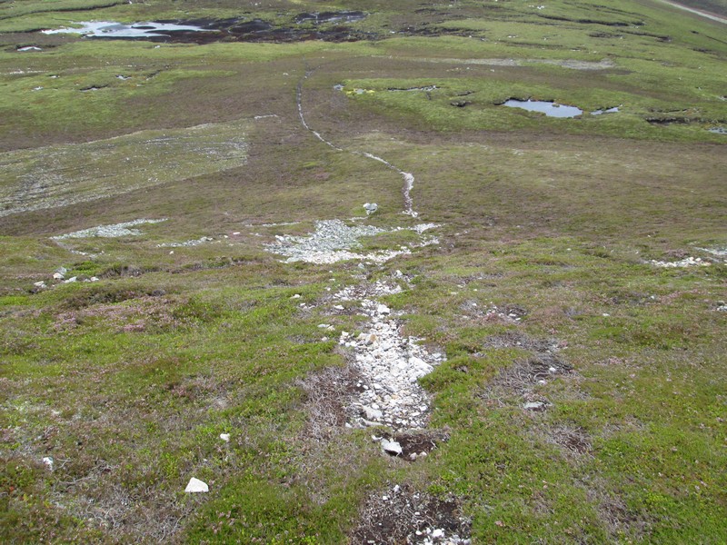
...which the path seems to disappear into!
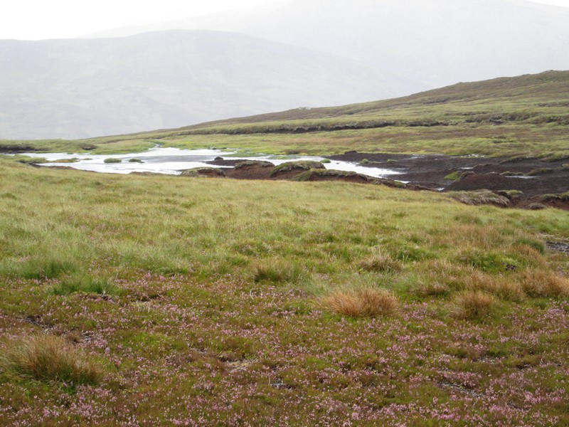
After a lot of recent heavy rain the peat was extremely soft. On the 1:25000 map there's a small lochan at about NO 162 839 with the rise beyond leading to a cairn and grouse butts. That's where I want to be to get on the track down to the lodge.
The whole area is criss-crossed with paths which look as though they are related to grouse shooting or stalking. In the end I headed off to the right of the peat hags (the south west) to find a drier way across the boggy ground.
Even though everywhere was very squelchy I get through without getting wet feet. This is the view looking back to the summit.
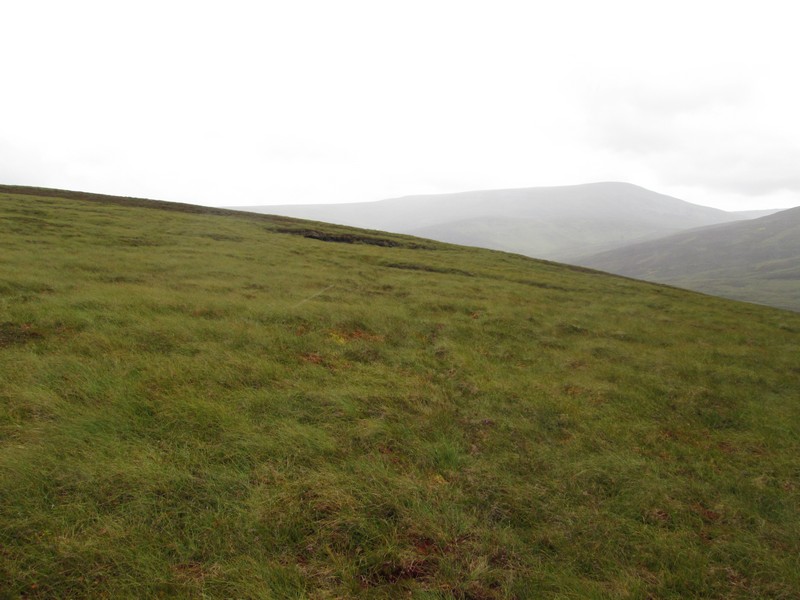
Then it's a matter of contouring around the hillside until....
....I reach the track leading to the cairn.
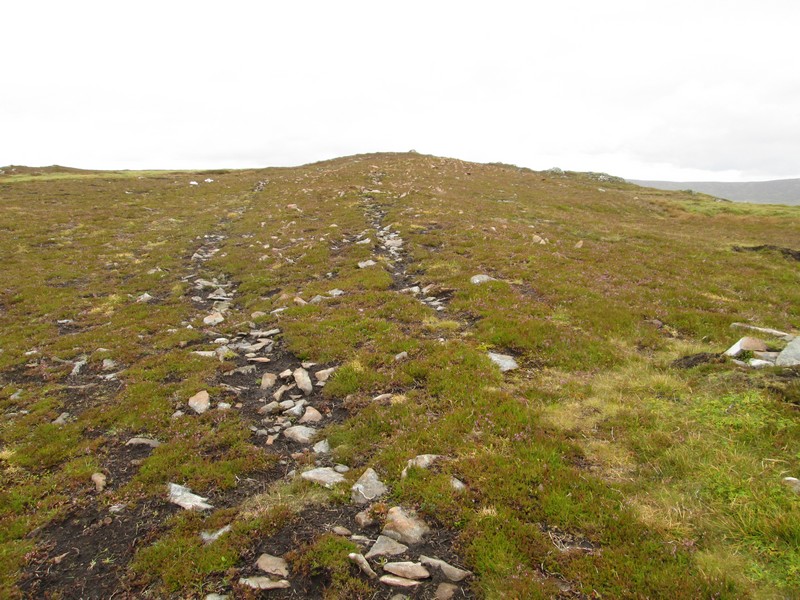
The track is now clear and....
...drops down through the heather.
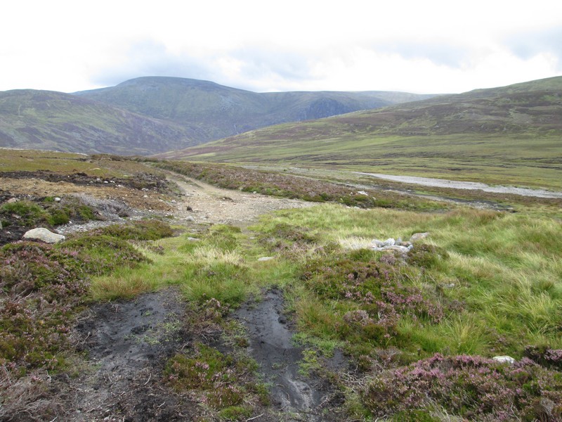
...to reach a land rover track.
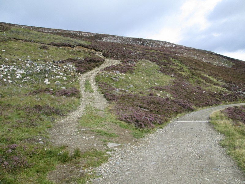
Now somewhere along here there should be a path off to the left!
Eventually at Grid Reference NO171 837 I spot this faint path dropping downhill. It would be easy to miss as there is only a tiny cairn hidden in the grass.
The path drops down to a stream...
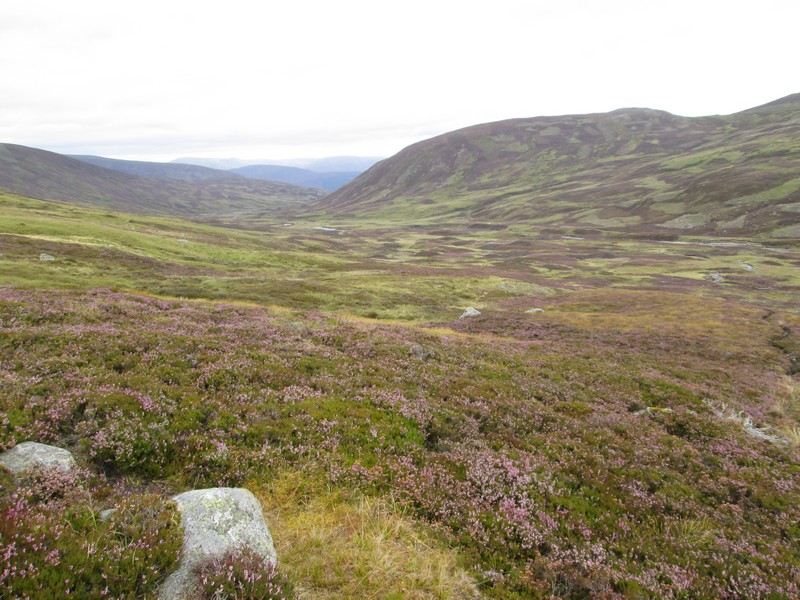
...and the view down Glen Callater opens up.
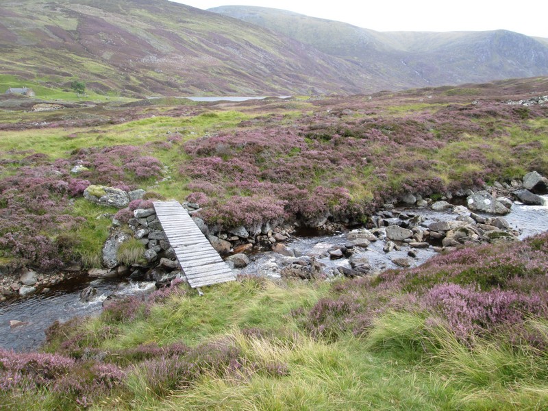
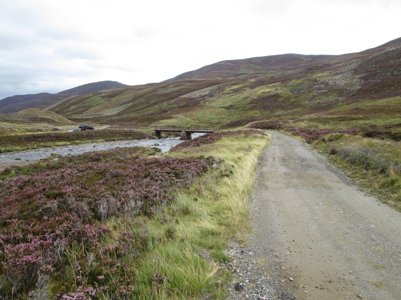
Luckily there is a footbridge across the stream..
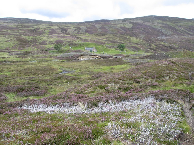
...and the lodge can be seen across...
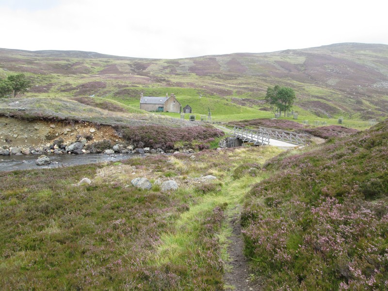
...the bridge carrying the estate road.
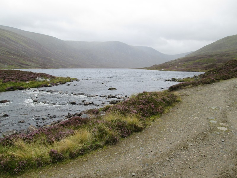
Loch Callater with a rain shower approaching.
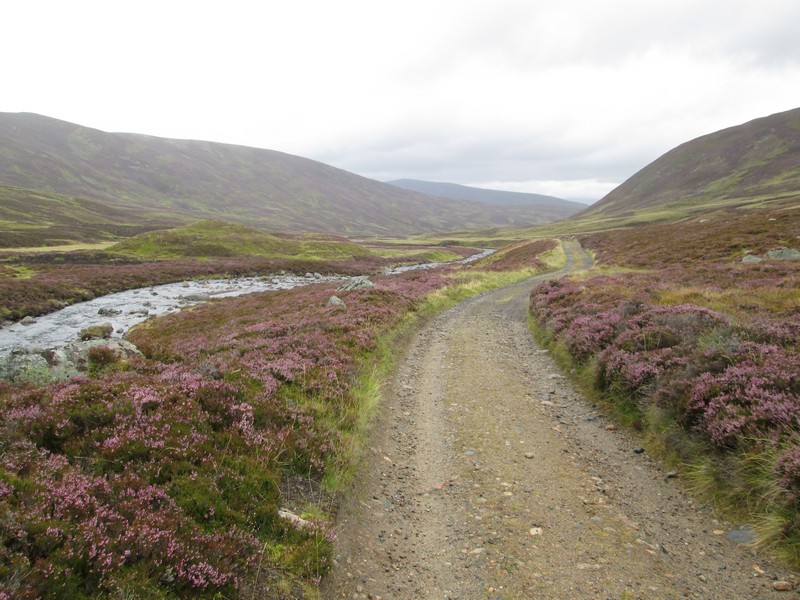
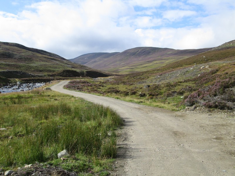
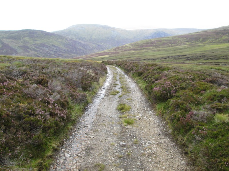
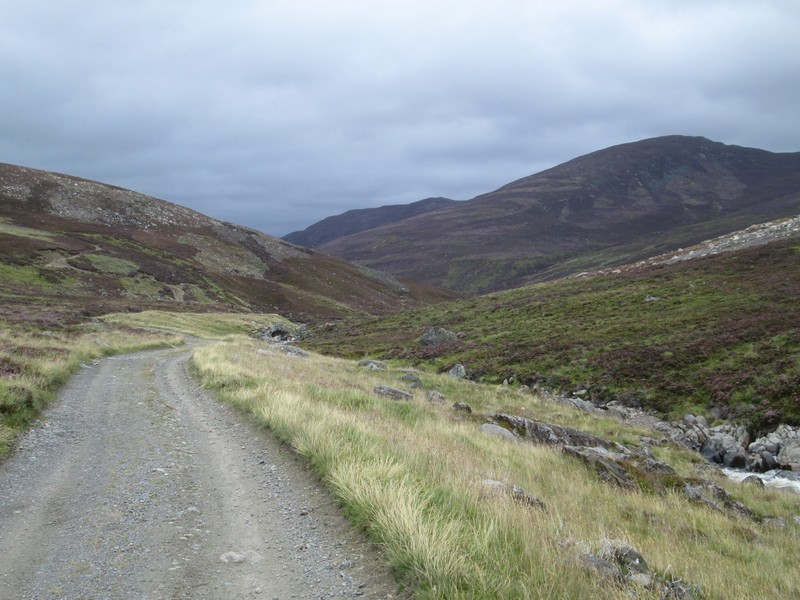
There's now an easy 5km walk back to the start of the walk.
...which of course goes on and on..
..with the road crossing to the west side of the burn about half way.
The end of the walk was "enlivened" by the presence of a grouse shooting party of Americans who could be seen on the ridge I'd walked on earlier that day. That evening I talked to a freelance journalist and photographer at the hotel who was writing about the day for a magazine. She told me that they managed to bag eight brace of grouse.