Beinn Eich and Doune Hill
In 2023 I had climbed Beinn Eich on its own but decided not to continue on to the second hill, Doune Hill.
In late May 2025 I returned to climb both of the Luss hills - Beinn Eich (703 metres) and Doune Hill (734metres).
The total ascent for the round walks is the considerable total of 966 metres as the walks starts by Loch Lomond, which is only at 13 metres above sea level. There is a large drop between the two summits of about 160 metres as well as descents on the road leading up from Luss to the start of the hill walk. In other words the height gain is considerably more than for many Munros!
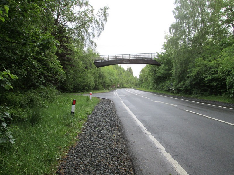
I used the 06:40 Citylink bus from Glasgow to Uig starting the walk at Luss 08:15
The bus stops just before this footbridge and the junction for the lane up Glen Luss seen on the left.
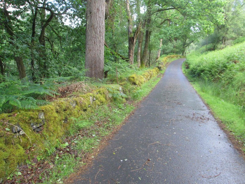
It is a pleasant walk up the glen with lots of birds singing and luxuriant vegetation such as the thick moss growing on the stone walls.
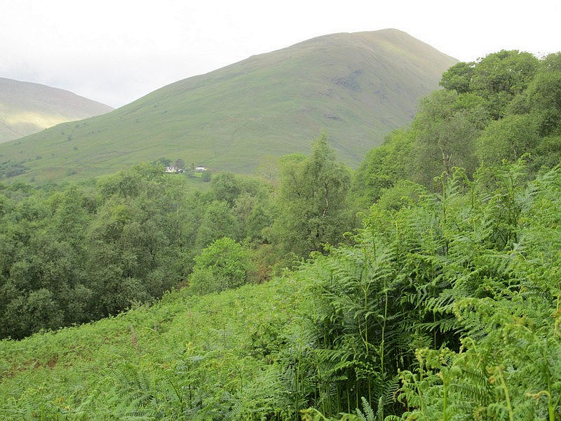
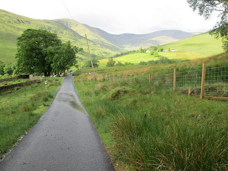
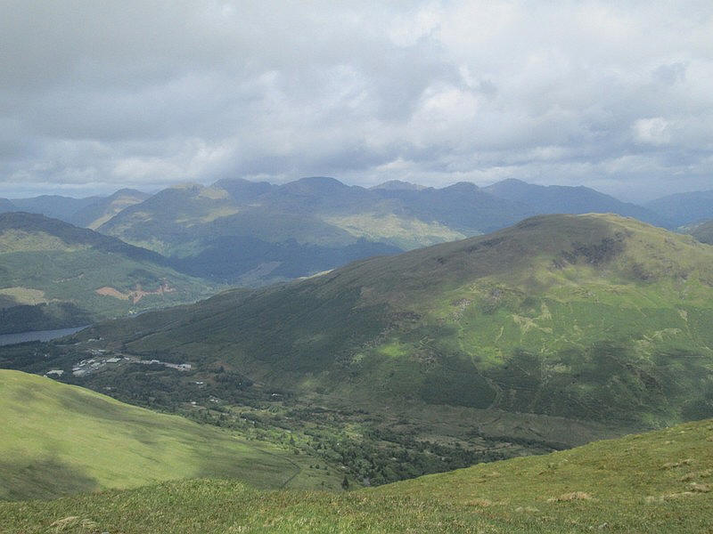
Beinn Eich comes into view quite early on but this shows the hill towering above the hamlet at Edentaggart.
Having climbed about 120 metres from Luss, annoyingly the lane now drops downhill over 50 metres...
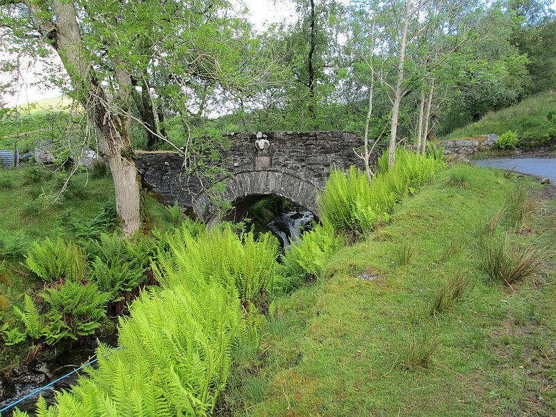
...passing over a delightful stone arched bridge over the stream that flows down from Glen Striddle.....
...and down past a farm to another bridge...
....over the Mallorchan Burn.
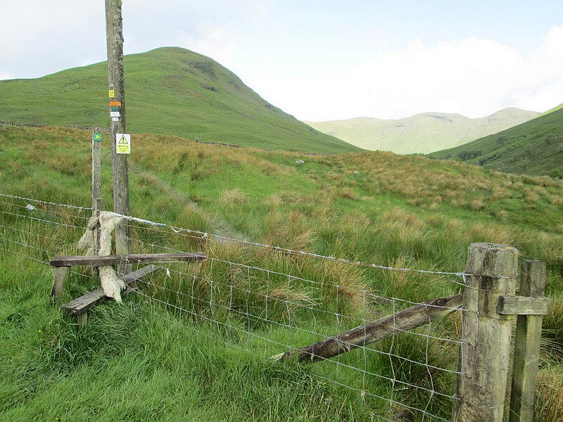
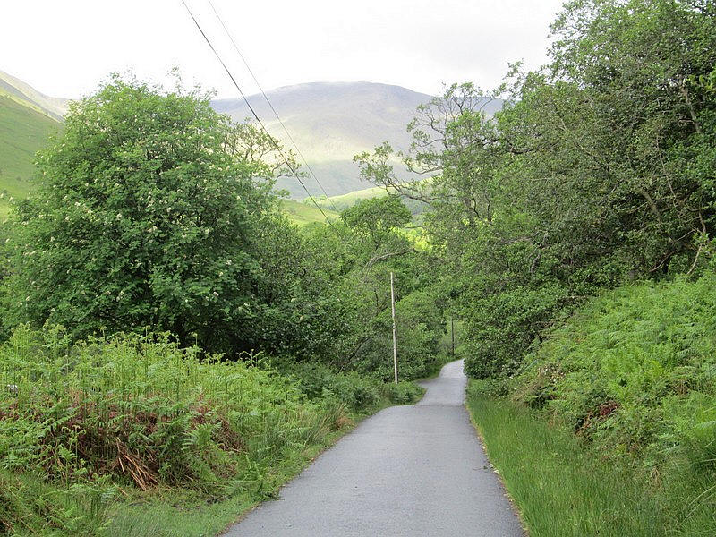
The lane climbs up towards Edentaggart where there is a stile with a sign point towards Beinn Eich.
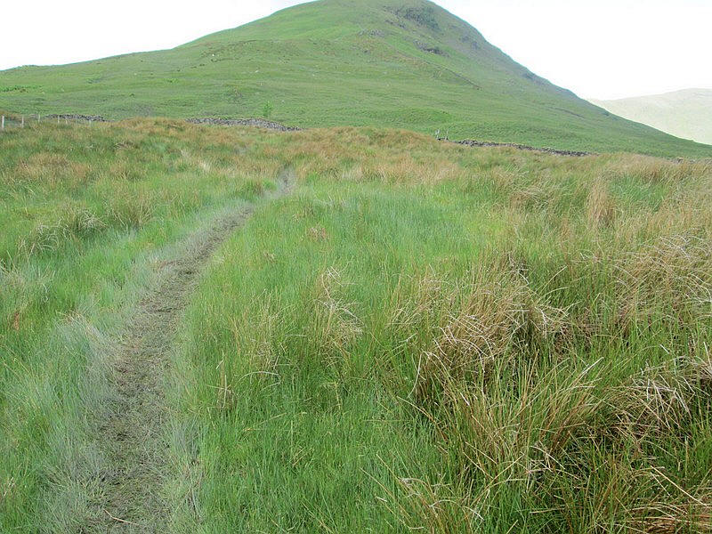
A rather boggy path climbs up some fields.....
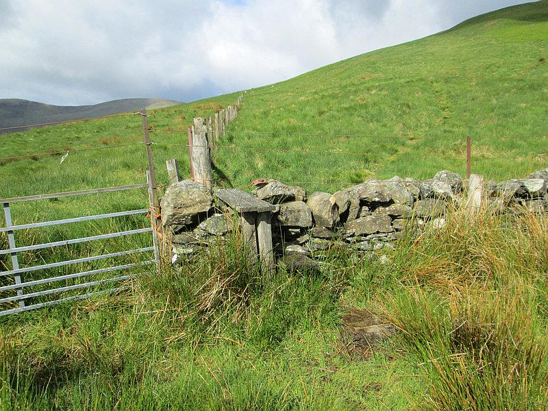
.....to reach a stile at the corner of walls and a fence. (NS 319 941)
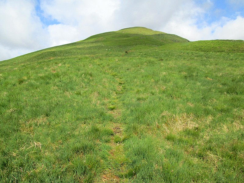
There is a faint path the climbs directly up the hill but it is intermittent. Last time I climbed Beinn Eich I followed another track along a water pipe which led me astray. This time I made sure I kept to the right hand side of the slopes.
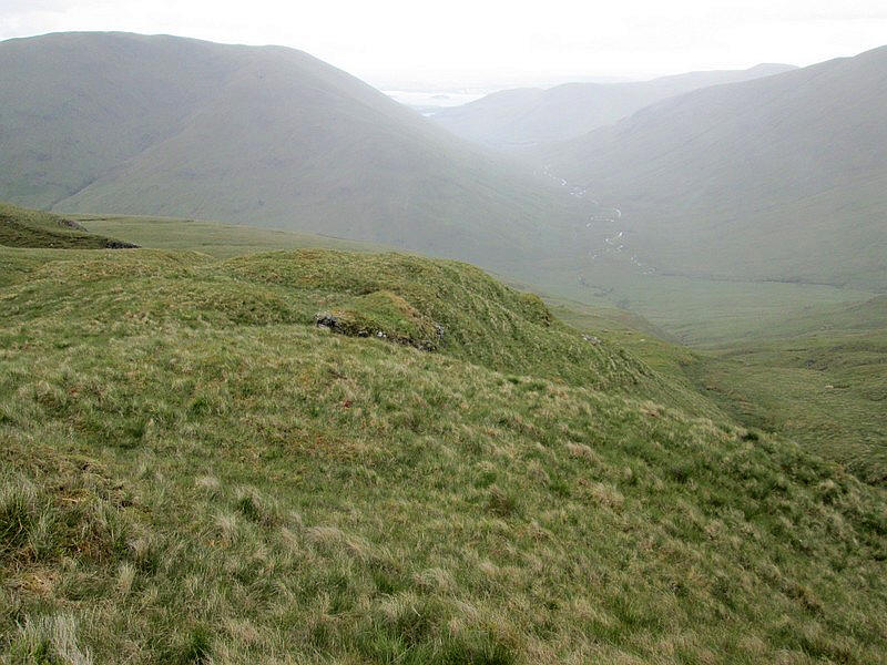
This part of the walk is dominated by the view back to Loch Lomond.
The climb continues with some peat hags appearing.
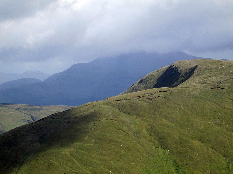
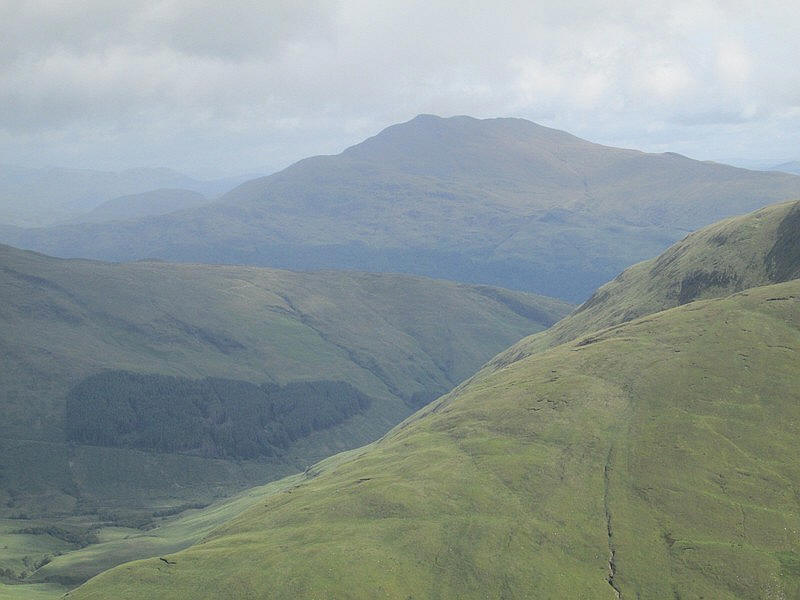
The weather was quite windy and early in the day the Munro Ben Lomond (974 metres) still had a cloud cap on it. The hill in the foreground is Mid Hill (657 metres), which I had climbed in 2024. Note the dramatic corrie on its north eastern side - Coire Carlaig which isn't visible from the summit of course.
Looking north to the Munros near Tyndrum and Crianlarich with Beinn Bhreac (681 metres) in the foreground across Glen Douglas. This is another hill that I intend to climb.
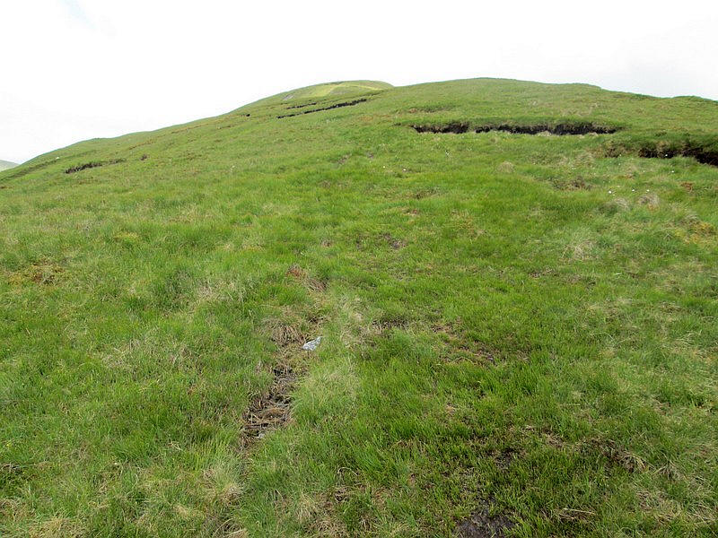
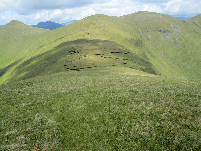
There are one or two unusual low rock outcrops on the climb which can be seen on the 1:25000 map.
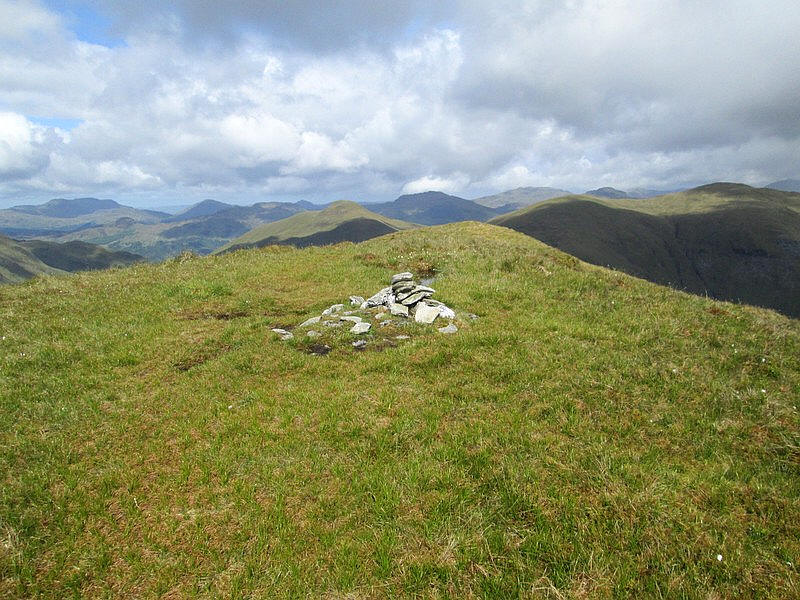
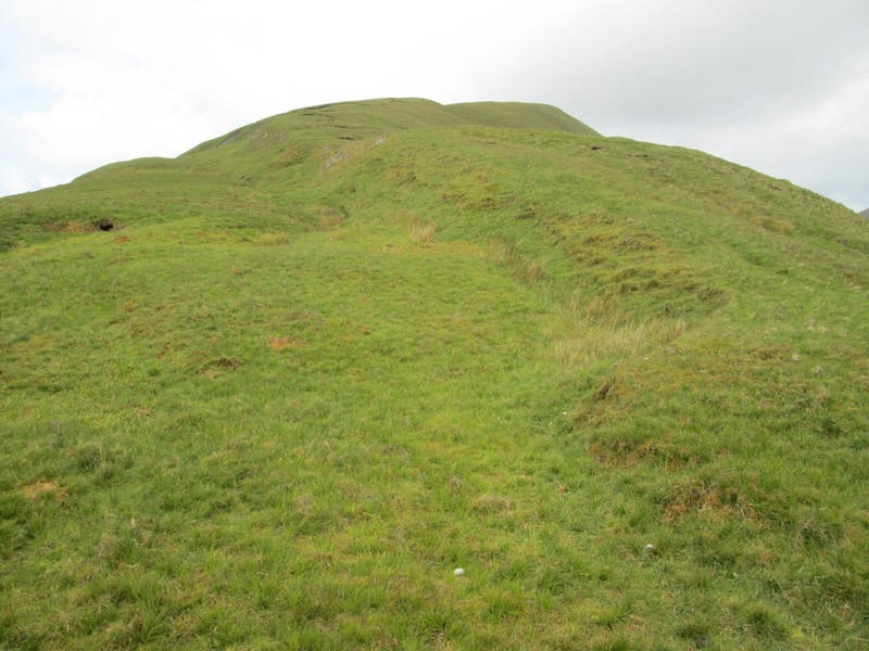
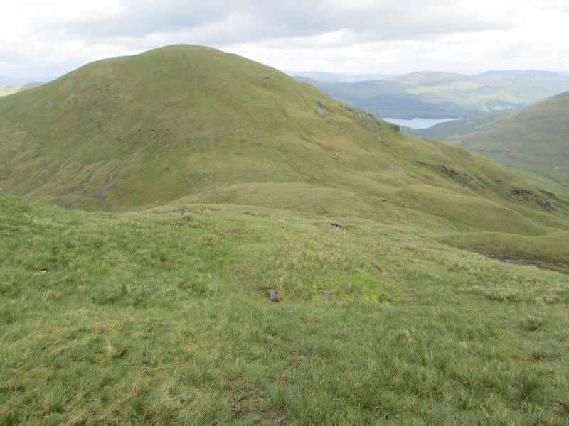
Ben Eich summit has a small pile of stones on the top. This is looking north west towards the summit of Doune Hill seen on the right..
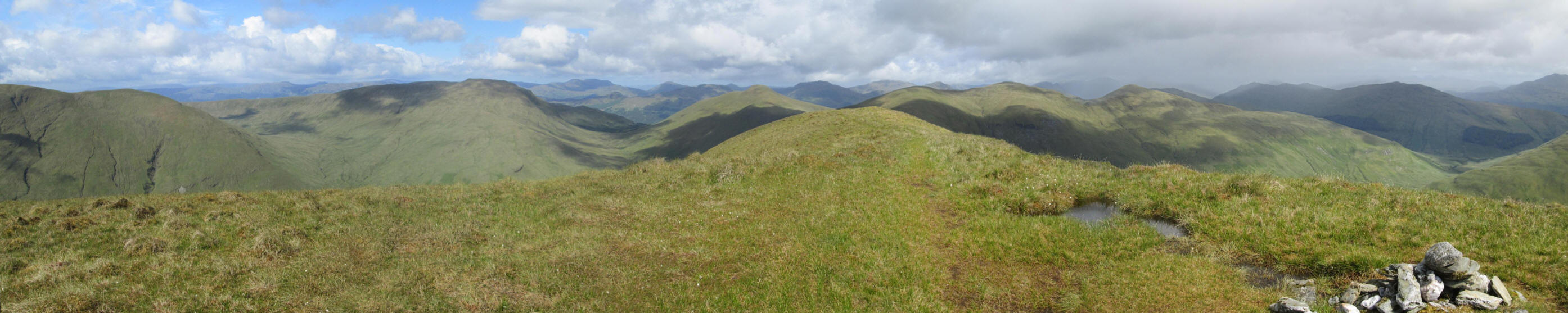
A panoramic view from the summit looking from the south west to the north west. Click on the photo for a larger image.
Ben Lomond has lost its cloud cap.
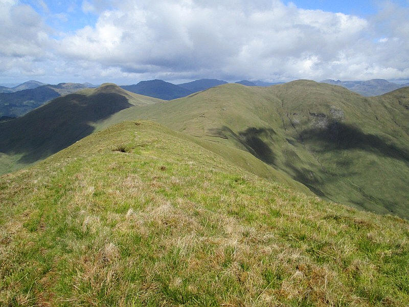
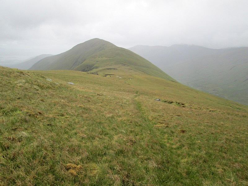
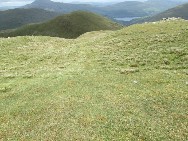
Onwards from Ben Eich's summit towards Beinn Lochain and Doune Hill the ridge drops down.....
....to a bealach (col) at 544m. There's a drop here of 160 metres from the summit to the bealach.
It had been my intention to walk on to the summit of Doune Hill and return the same way. However, the wind was very strong - the forecast was for 25mph. I had climbed Beinn Eich with the wind behind me but I really didn't like the idea of climbing back uphill into the wind so I decided to return to the glen a different way, of which more later.
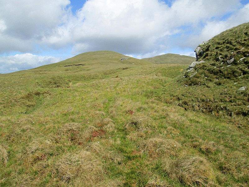
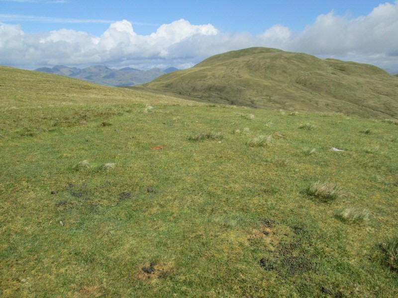
Having dropped down to the bealach the way forward means climbing up towards Beinn Lochain (698 metres). This isn't a Graham as there is only a small drop between it and Doune Hill.
Looking back towards Beinn Eich.
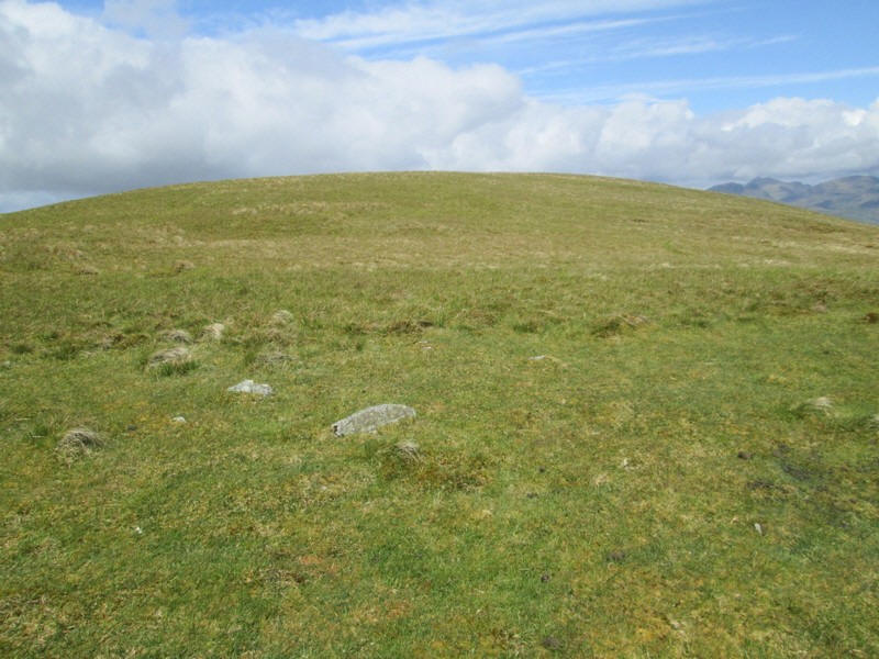
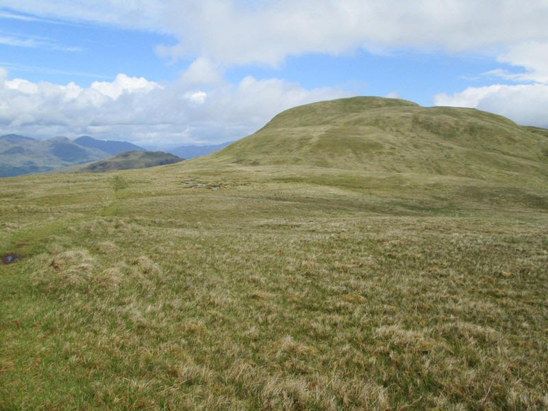
As I approached the summit dome of Beinn Lochain I decided there was no need to go over the top...
...so I contoured around it to reach the dip before the final climb up to Doune Hill.
There's a final climb of about 55 metres up to the summit.
Over to the west there is a view of the sea loch, Loch Long
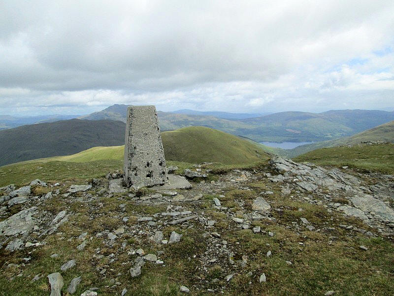
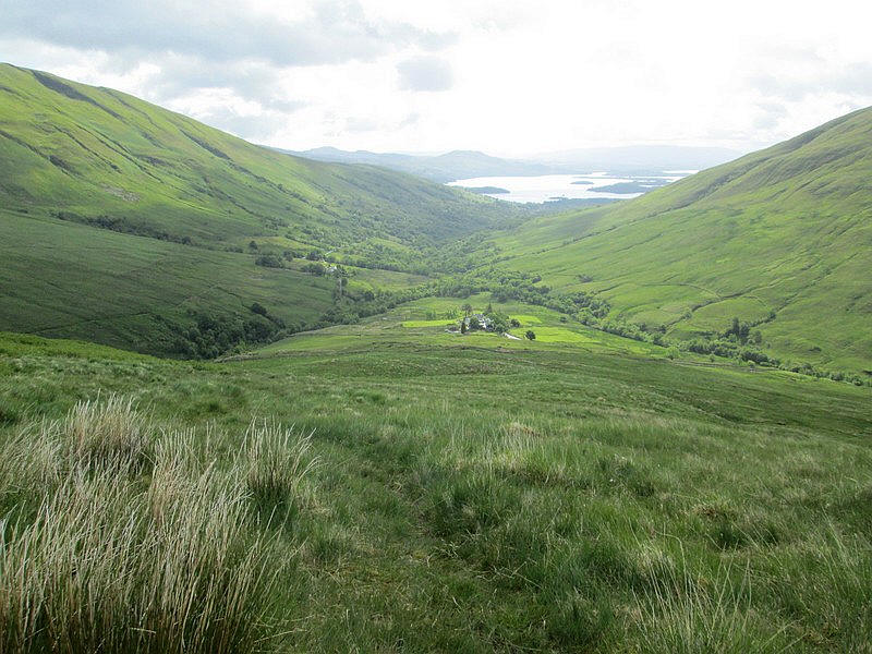
The trig point of Doune Hill with Loch Lomond and Ben Lomond just to the left of it. It had taken me four and a half hours to reach the summit, rather longer than expected because I had had to deal with two problems: a leaking sun-cream spray and a quite bad cut on my hand when I leant heavily on a plastic toggle!!
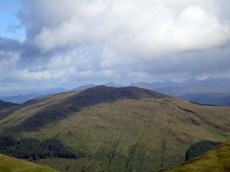
The view from the summit looking down to Glen Douglas and the Royal Navy weapons storage depot. On the left is Loch Long, whilst the hills in the distance include the Munros and Corbetts near Arrochar. The hill immediately beyond Glen Douglas is another Graham, Tullich Hill (632 metres) which is another hill in this area that I intend to climb.
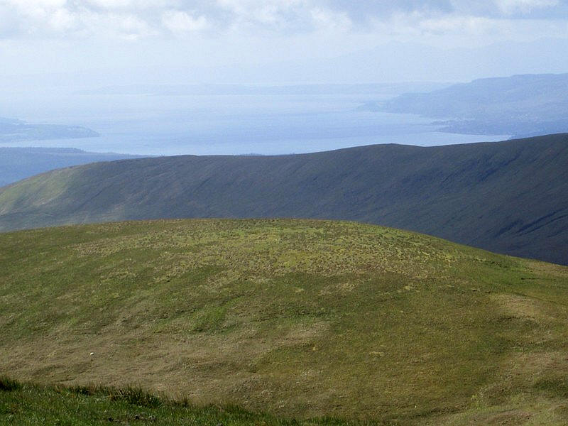
Looking south to the Firth of Clyde with the isle of Arran visible faintly in the distance and isle of Bute to the right.
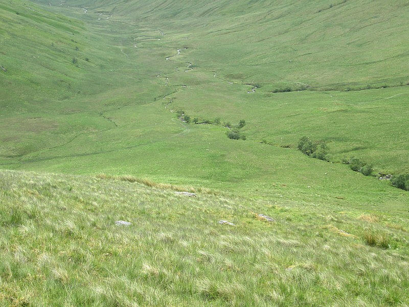
From the summit of Doune Hill there is a trackless descent to......
......the Bealach an Duin - beyond it is the 'North Top' of Doune Hill.
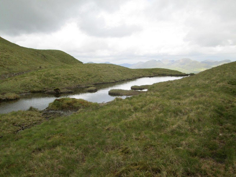
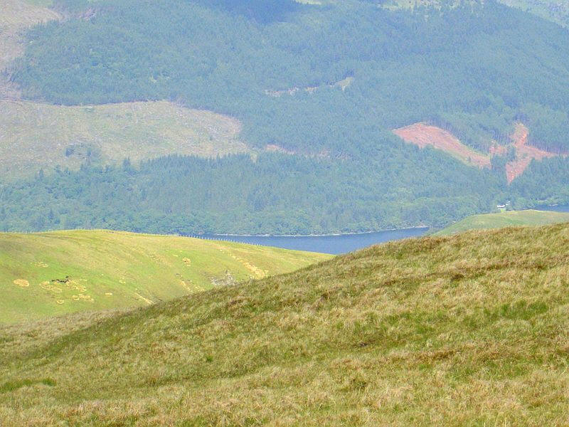
There is a small lochan which drains from both ends - north west into Loch Long and south east into Loch Lomond.
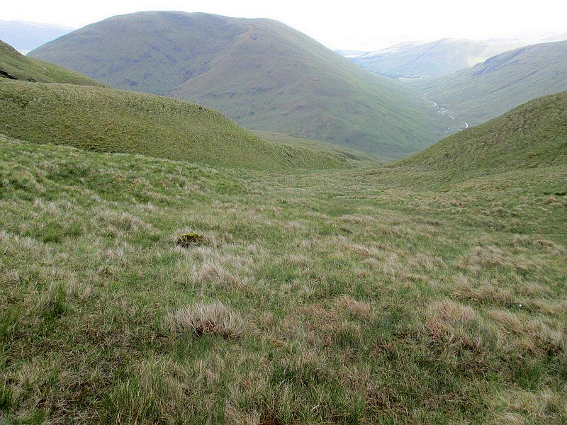
It's a completely trackless descent into Glen Mallorchan. Initially I stayed in the centre of this depression..
.....but it soon deepened and a stream became more obvious....
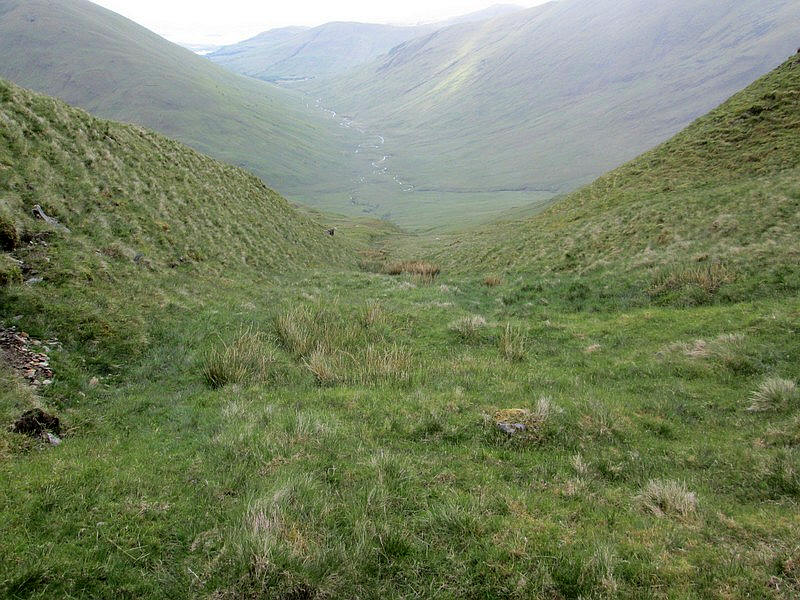
....so I climbed above the stream onto the hillside and slowly made my way down the hill...
.....aiming for the trees at the bottom of the hill where a track can be seen.
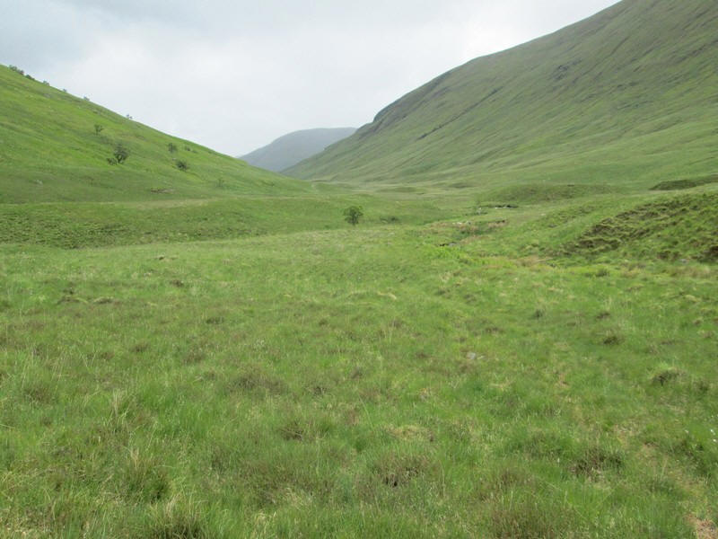
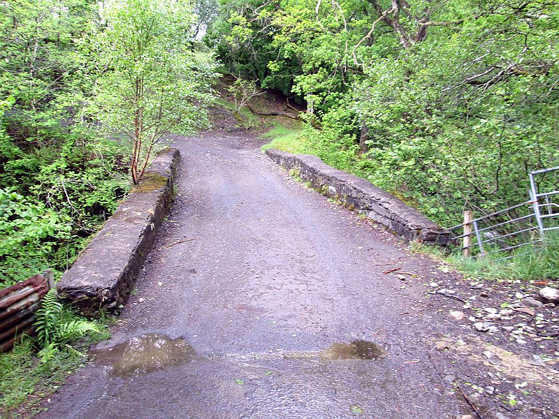
There's a very wet and intermittent track down the glen although it is easy to lose in the boggy sections. Eventually it reaches a more solid track which leads down to the bridge on the road up from Luss.
I arrived back in Luss about 7 hours after the start of the walk and then took the local bus to Balloch for a train back to Glasgow.