Geal-charn Mor
![]()
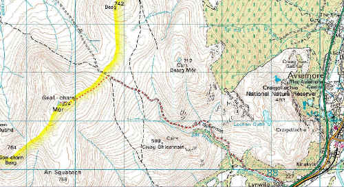
Click on map for a larger image
Image produced from the Ordnance Survey Get-a-map service. Image reproduced with kind permission of Ordnance Survey and Ordnance Survey of Northern Ireland.
We walked from the hamlet of Lynwilg in May 2004 after a couple of hard day's walks in the Cairngorms. This walk is ideal for a "rest" day. It only takes about two and a half hours to the summit and a a little less for the return. We spent a pleasant morning doing the walk. It has to be admitted that Geal-charn Mor isn't particularly inspiring as a hill; it's a sort of lump but being the highest point in the Kinveachy Forest the views to the Cairngorms are superb as are those to the west over the Monadhliath mountains.
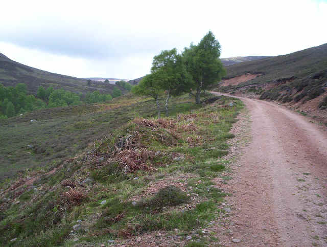
The walk follows a land rover track up the wooded An Gleannan glen and then onto the open hillside up to about 675m so walking is easy, if somewhat monotonous.
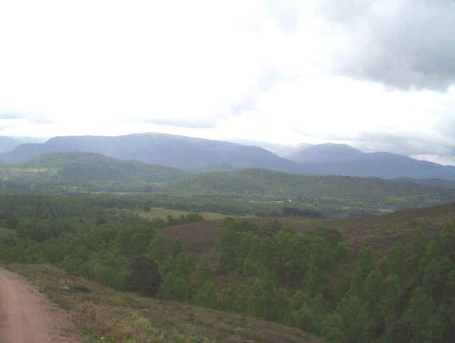
Looking back across the Spey Valley to the Cairngorms
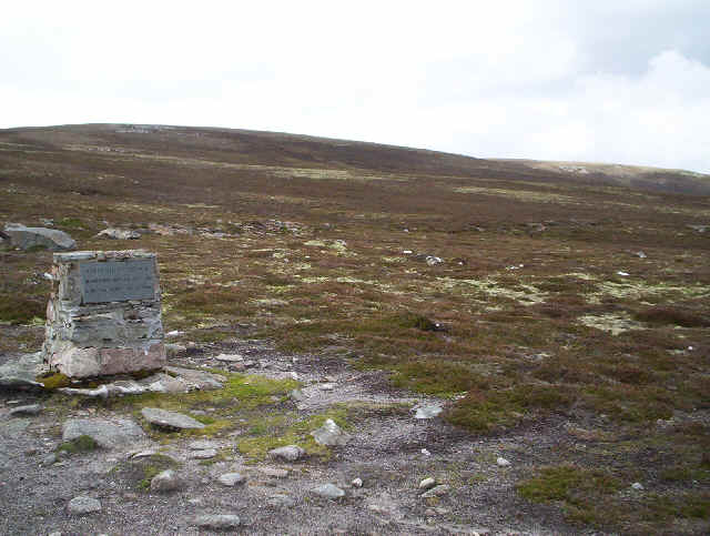
Near the watershed a small memorial (to the head keeper of the estate) is reached and from here the route is pathless South West across the pleasant broad ridge to the summit at 824m.
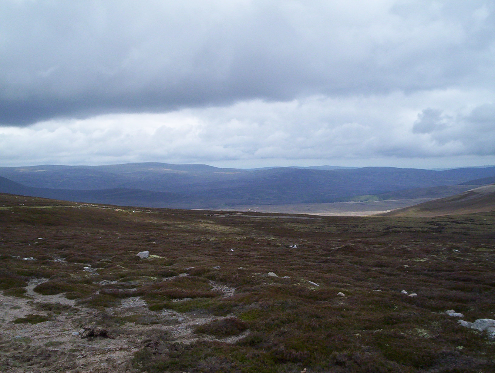
Looking west across Monadh Liath - such emptiness!
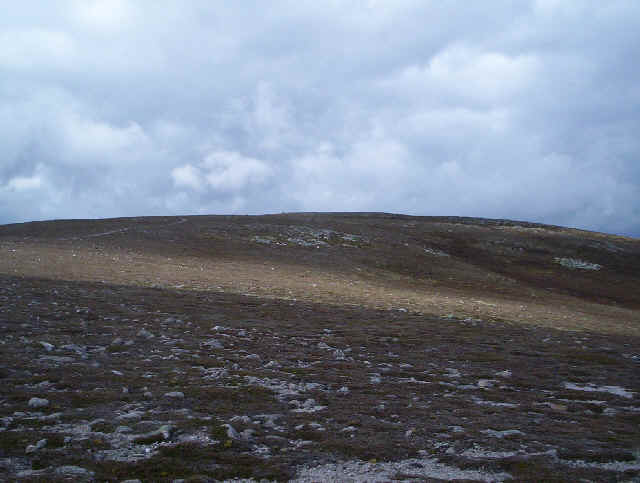
The ridge to the summit ; there's a triangulation column at the top. Unfortunately I forgot to take a summit photo. With its flattish domed summit the hill top isn't particularly photogenic. A photo can be found on this page.
http://www.thehillslist.com/2004 Spring pics/D013-109 Summit.jpg
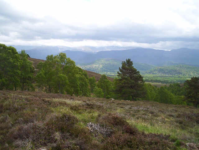
On the way back down another view of the Cairngorms.
![]()