Glenshee East Round
Creag Leach, Glas Maol, Cairn of Claise, Tom Buidhe, Tolmount and Carn an Tuirc
walked in june 2010
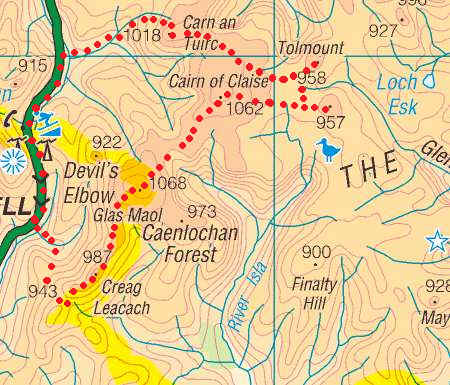
The map below shows the route I took as recorded by my SPOT GPS personal tracker.
For the second day of my walking holiday, based in Braemar, I decided to tackle the group of six Munros east of the Glenshee ski centre. The weather wasn't particularly good with low cloud, wind and a little drizzle affecting views throughout the day. Despite the poor visibility it was an interesting, if rather long walk.
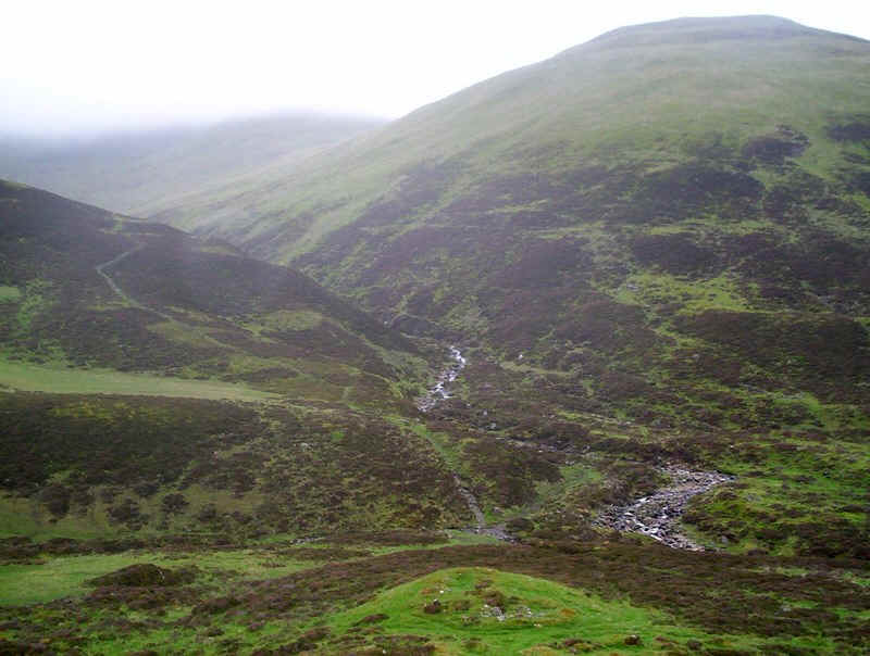
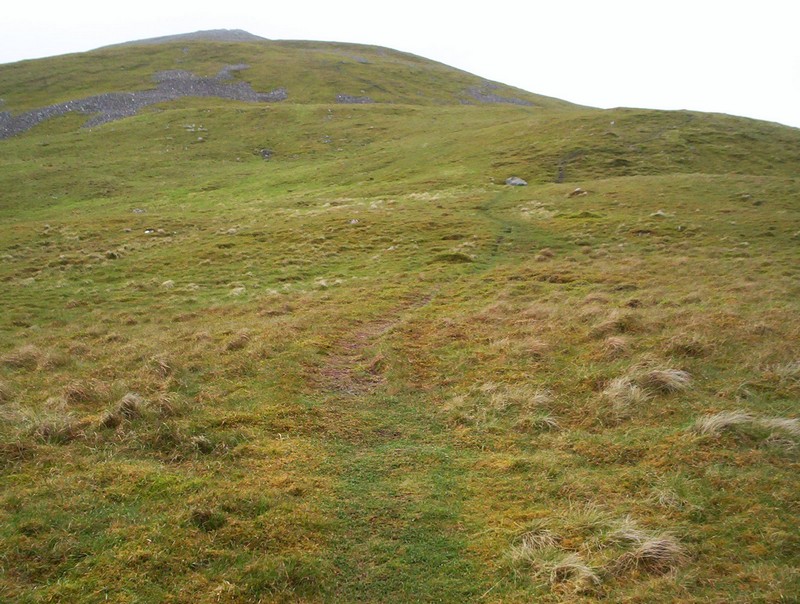
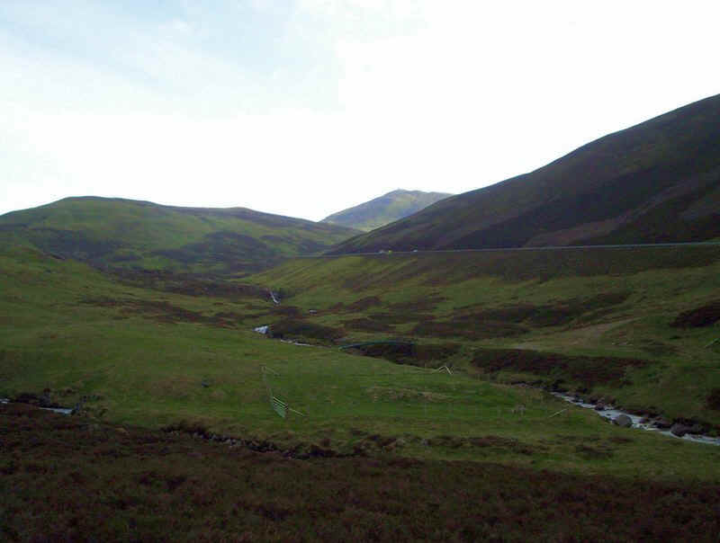
I started the walk from the car park near the Devil's Elbow on the A93 at 08.30. There's no walk in, and it's straight down from the car park, across the Allt a' Choire Sheiriridh and then along the northern bank of the Allt Coire a' Bhathaich as seen in the photo. Note that the route is NOT up the clear track, which climbs away from the stream.
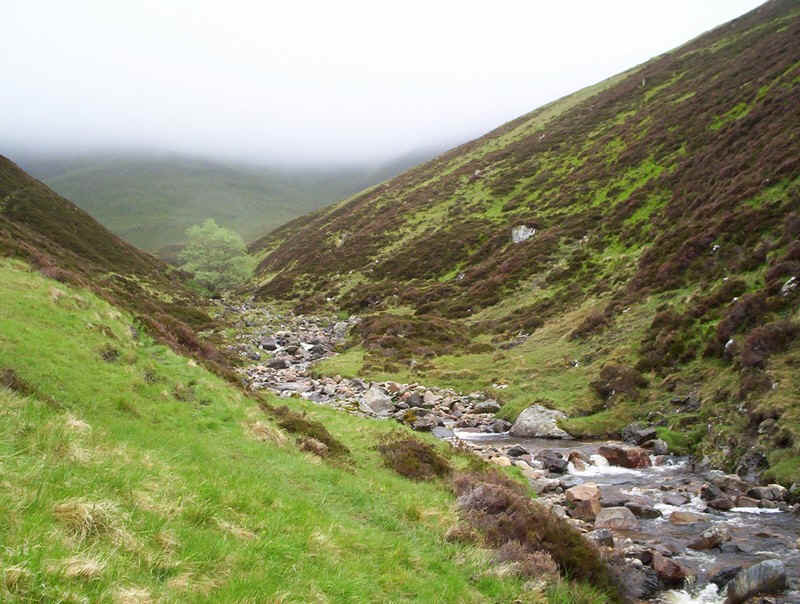
There is a vague path along the burn which I followed until....
.....this burn joins the main one at about NO 1445752. I then followed the south west side of the burn uphill....
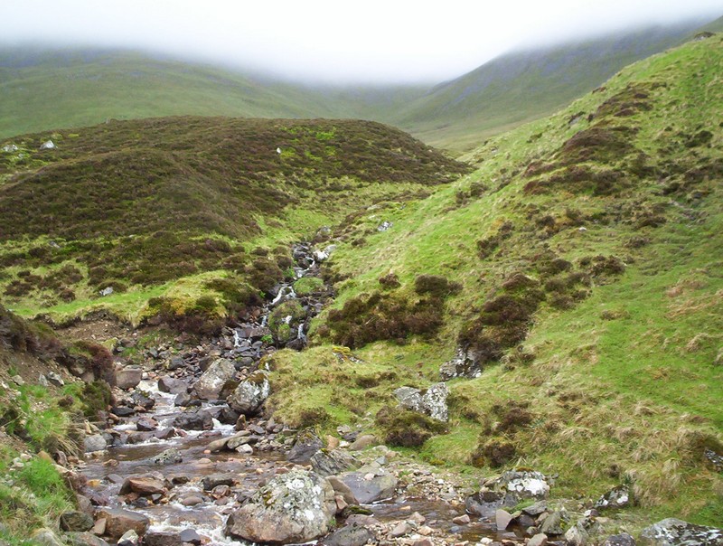
......and a vague track emerges heading for the bealach between Carn Aig and the top marked 943m on the OS map.
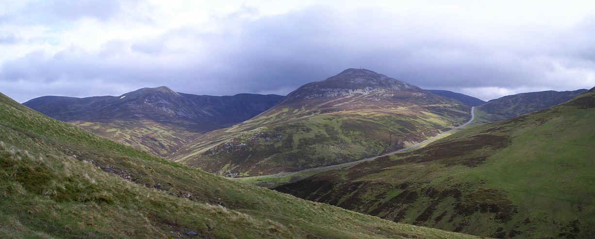
In contrast to the previous day the views, at least to start with, were much better and this panoramic picture shows Carn a' Gheoidh on the left and The Cairnwell in the centre. Click on the photo to see a larger image.
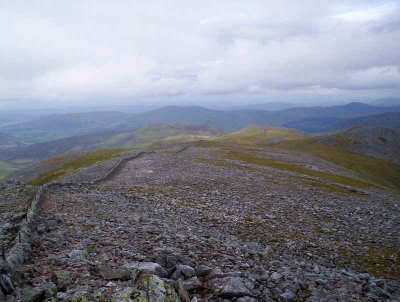
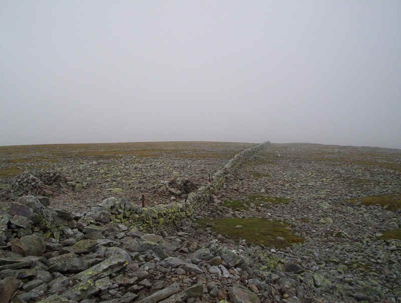
Once at the bealach, there is a wall which is followed for several kilometres as it heads north eastwards.
In places the going is rough over boulders....
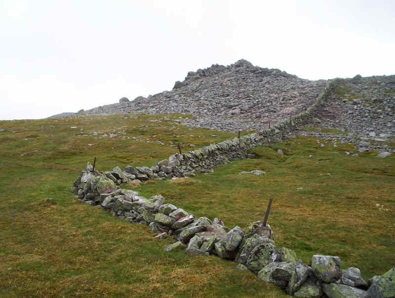
.....and there are several bends. This is the 943 metre top of Creag Leacach.
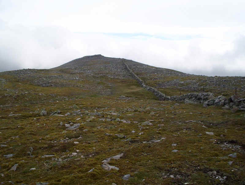
The wall continues downhill, and then up to the summit of Creag Leacach.....
.....where the path makes its way through a pile of boulders to....
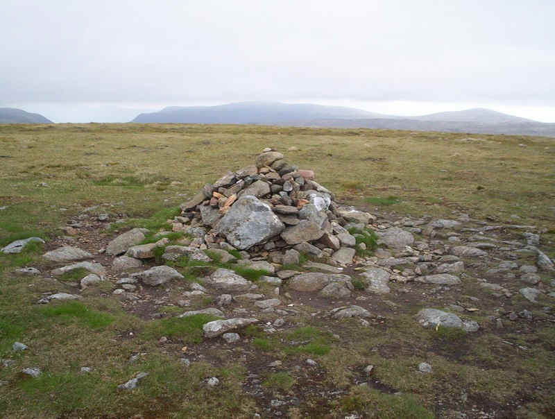
....the summit cairn, which is built into the wall; Munro No.1 of the day! It had taken an hour and three quarters to reach the summit.
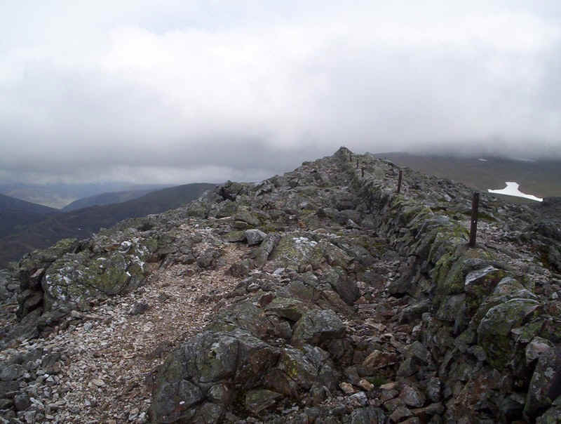
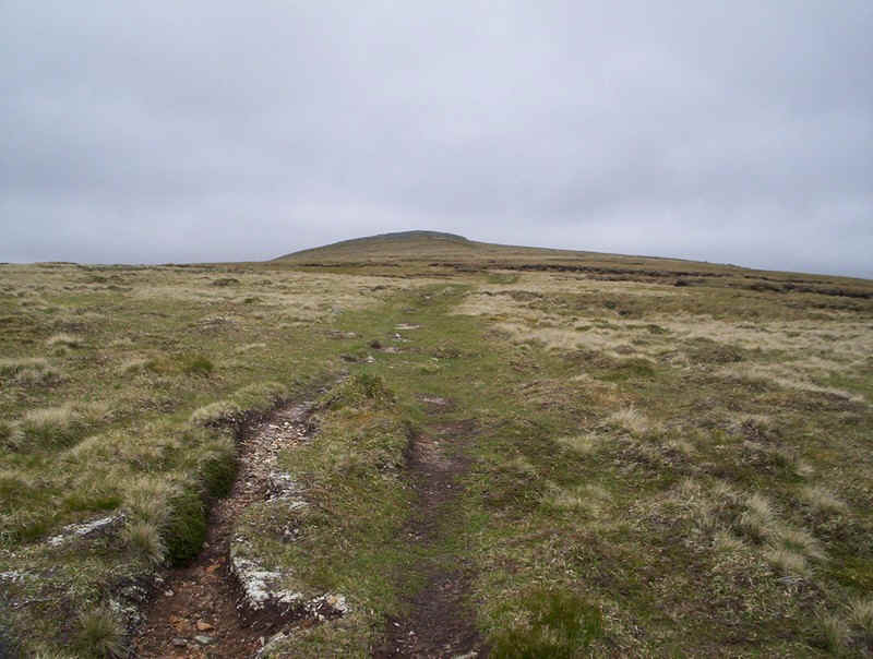
Beyond, the track and wall march onwards...
....sometimes over boulders and sometimes over grass...
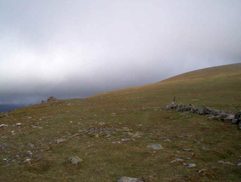
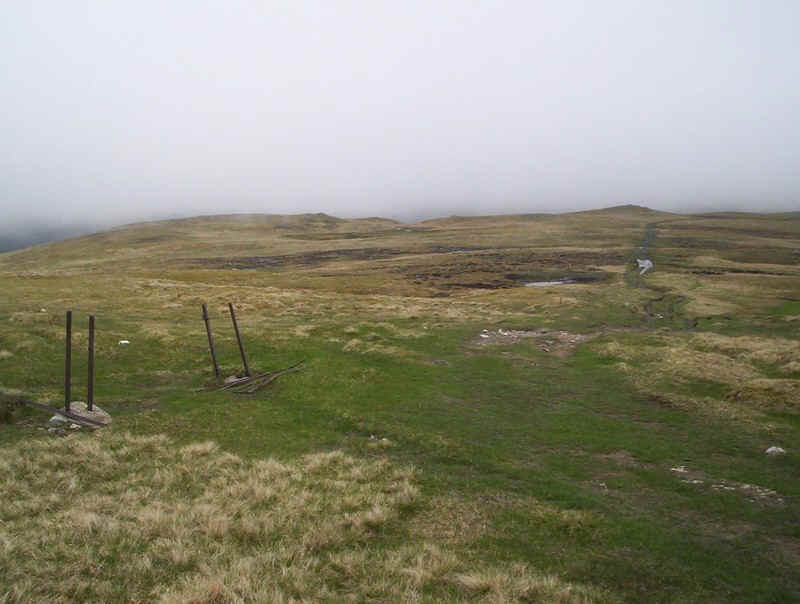
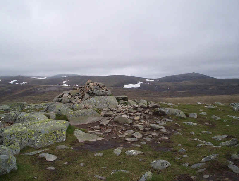
.....until suddenly the wall stops and there's a large cairn.
A glance back shows Creag Leacach and the 943 top.
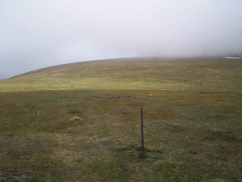
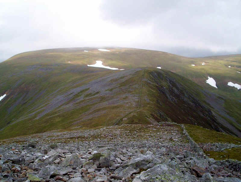
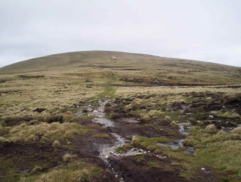
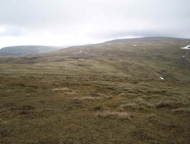
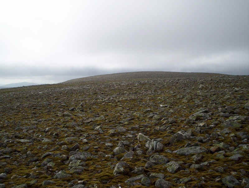
The way on to the next summit of Glas Maol (a domed hill just hidden under the cloud) is across grass. There's a fairly obvious track that follows a series of old fence posts most of which have now disappeared.
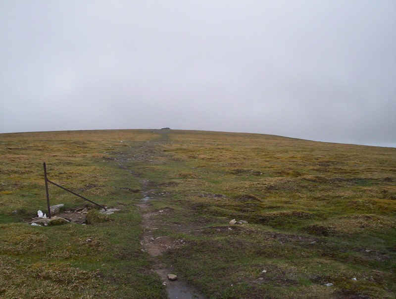
Just before reaching the summit, the track from Creag Leacach meets one that's come directly up from the Glenshee ski centre . This heads directly to the summit cairn, just seen in the photo.
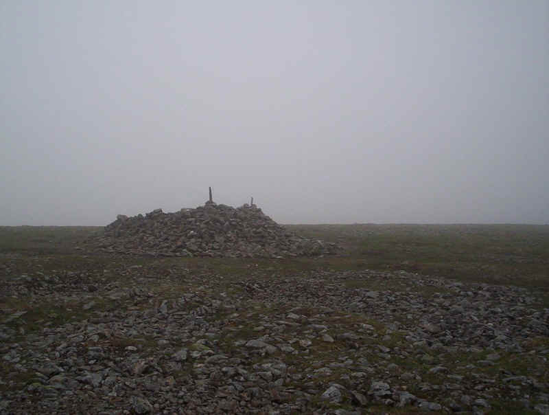
Of course, now on the summit, the mist came down again and with the wind blowing from the north east the shelter wasn't a very good place to have lunch!
It had taken me exactly three hours to reach Munro No.2, a little longer than I'd hoped.
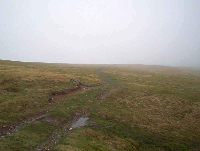
To continue the walk I dropped down on a compass and GPS bearing, to reach this broad track at about NO 169771. Views were by now non existent.
At about NO 169776 the track on to the next summit, Cairn of Claise is reached. There are some old gate post here so the junction would be hard to miss even in really thick fog.
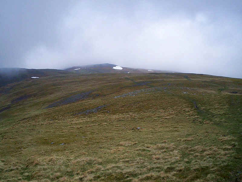
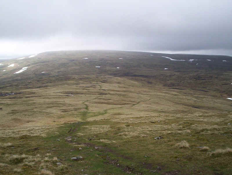
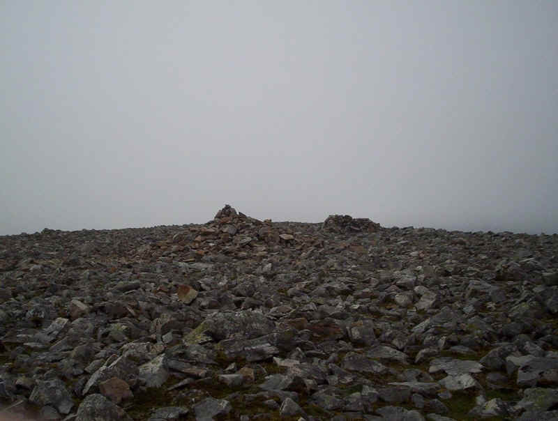
There's a good track which leads almost to the summit of Cairn of Claise, seen just clear of cloud in the distance. In places the track is boggy and also splits and rejoins several times. I walked along the track to just below the summit and then clambered over the boulders to....
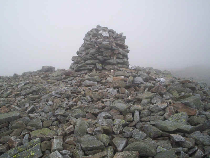
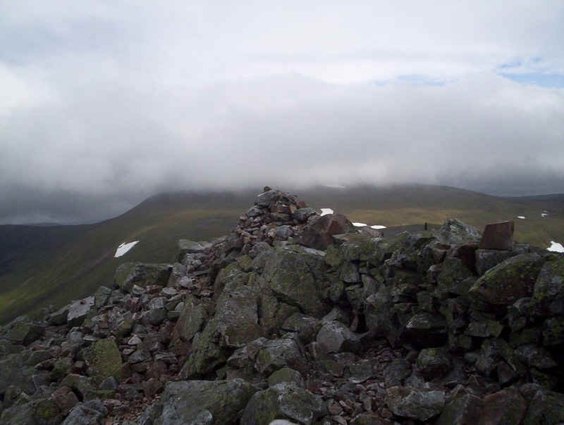
.....the cairn which...
......is close to another wall. Reaching Munro No. 3 had taken me 4 hours and twenty minutes and I was falling further behind my timing estimates. Once again there were no views to be had, although the mist wasn't particularly thick. To reach the next hill, Tom Buidhe , meant walking on a bearing again, this time across somewhat dreary moorland....
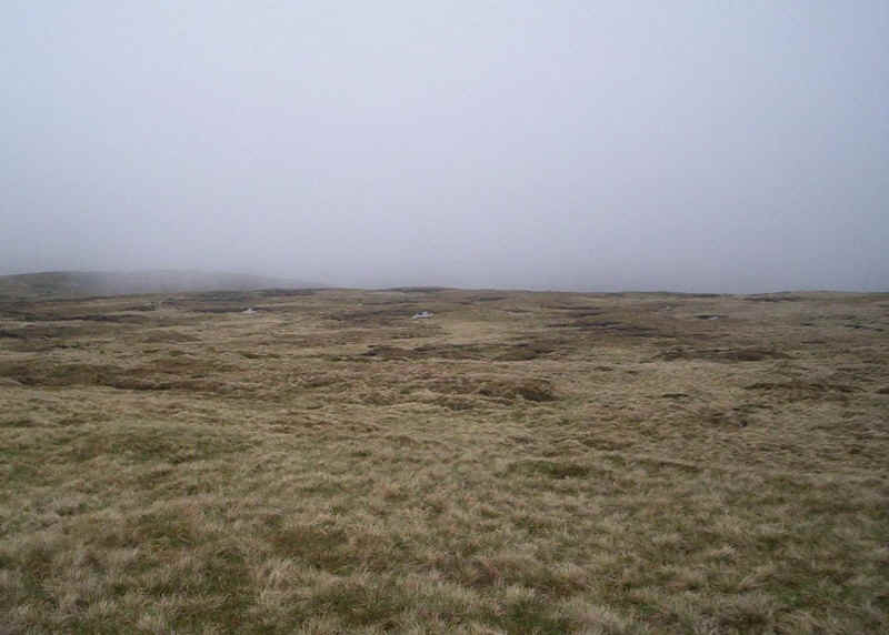
....as can be seen above. Obviously, with a view things would be better!!
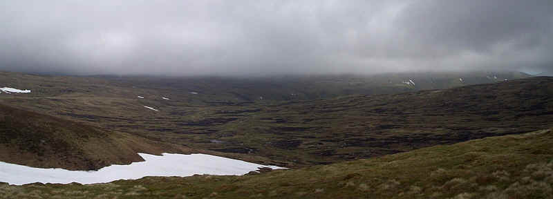
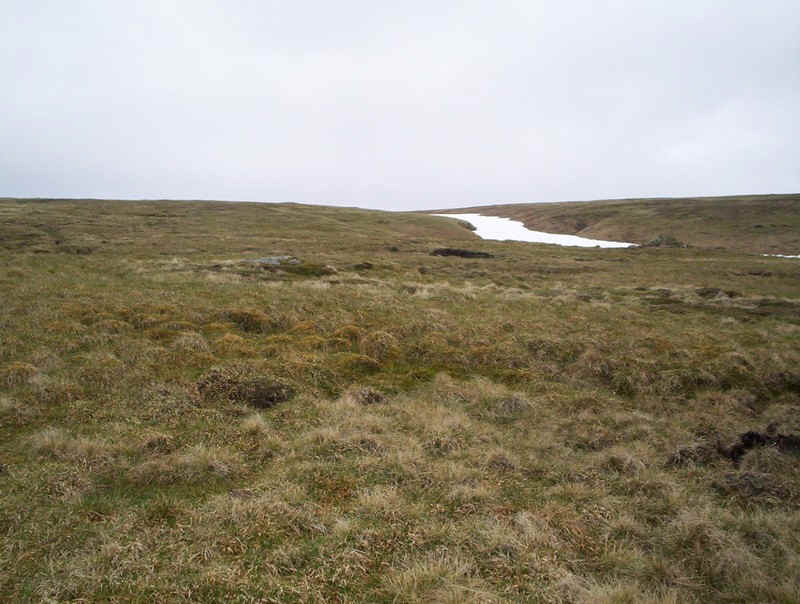
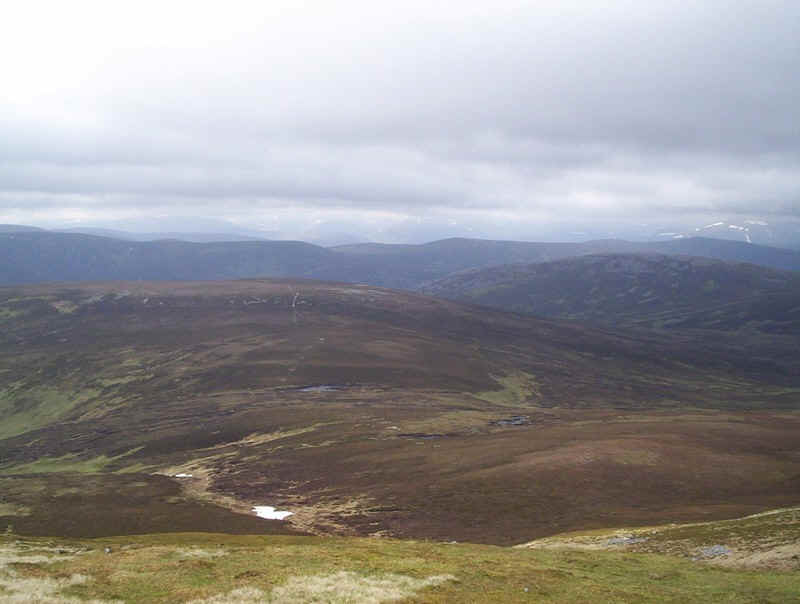
Eventually, I dropped below the clouds and this desolate scene appeared - a vast expanse of peat bogs and streams.
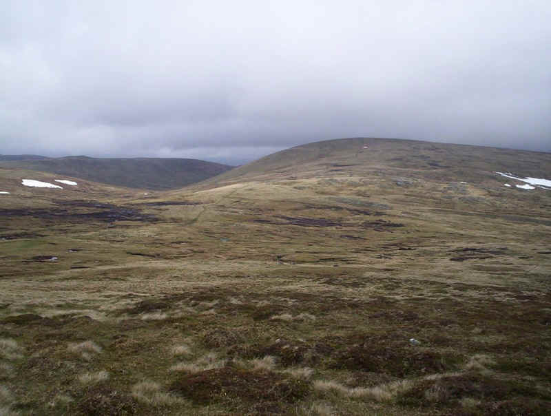
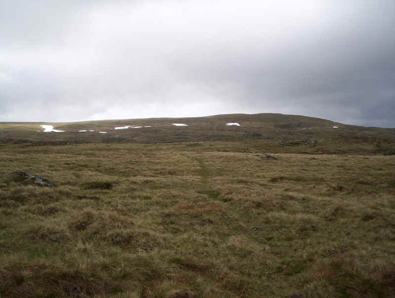
Fortunately, the way to Tom Buidhe is less wet although, as can be seen, there is an area of peat between where I'm standing and the hill. There is an obvious track which appears at NO 20134 78920 and leads straight to the summit.
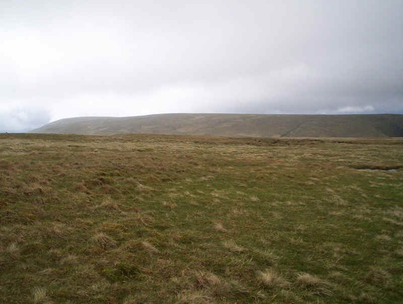
Over to the north is Tolmount, Munro No. 5, which will be visited after Tom Buidhe.
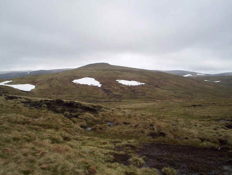
Meanwhile, it's across the peat and up the gentle slopes...
.....to reach the summit cairn of Tom Buidhe, which I reached exactly an hour after leaving Cairn of Claise.
Dropping down off the hill on the way to Tolmount, I was pleased to see there was another track that headed off across to the north and crossed the relatively dry ground at the top of the White Water burn.
It's another easy climb to ....
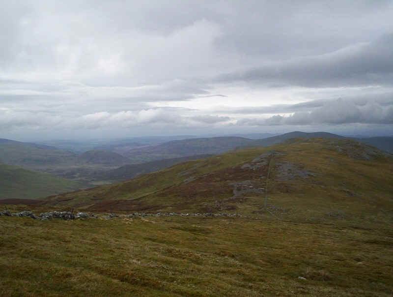
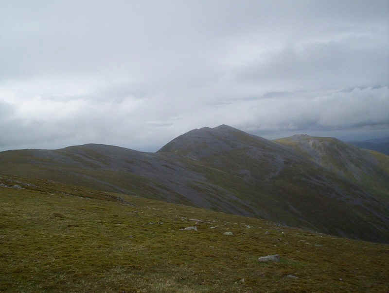
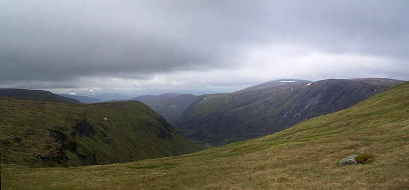
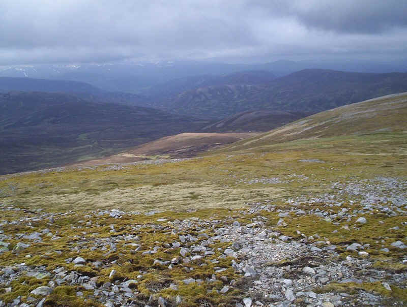
....get to Tolmount's summit cairn, reached fifty minutes from Tom Buidhe. At least the mist had now cleared a little and some of the Lochnagar hills can be seen in the distance. I think that's the summit of Broad Cairn on the right. To continue the walk and reach the final Munro of the day it's necessary to drop back down the approach path, before turning west, in order to avoid the cliffs in Glen Callater.
Initially, there is a track and I made for NO 205794, but left the track.....
....to see the view down the Glen Callater.
It was now a question of a three kilometre yomp across the moorland, heading roughly for the bealach between Cairn of Claise and Carn an Tuirc.
It's not a particularly inspiring part of the day ....
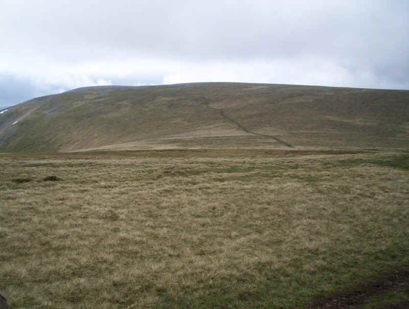
......but eventually Carn an Tuirc comes into view and the path across from Cairn of Claise is reached.
At the bealach a clear path goes off towards Carn an Tuirc....
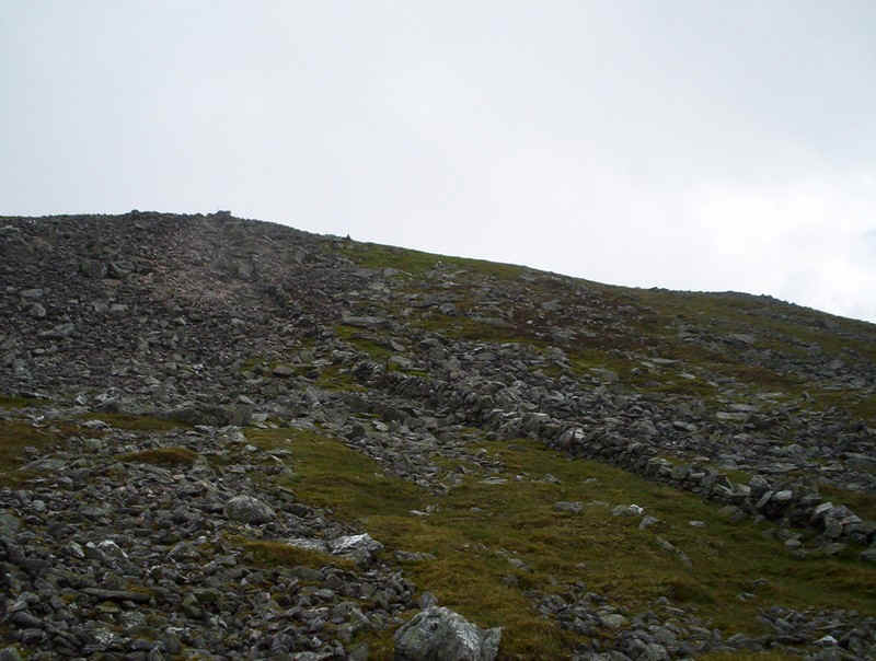
.....and heads diagonally up the slopes...
......to reach the long stoney ridge.
There are several cairns so I visited all of them just to be sure! Munro No. 6 of the day was reached eight hours after starting the walk. The wind was extremely strong here so I beat a hasty retreat off the hill.
The easiest descent is at about NO 17506 80784 where grassy slopes lead.....
......downhill.....
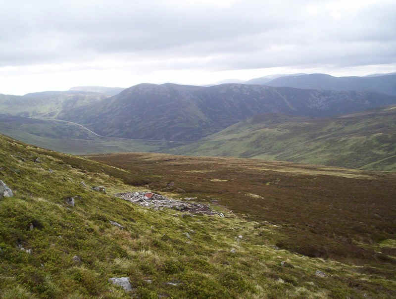
....to reach the remains of a bothy.
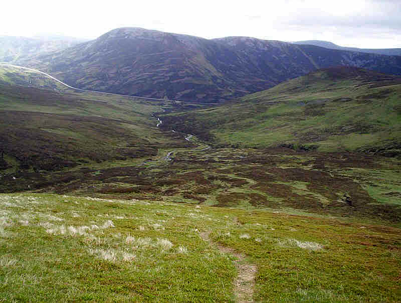
Now all that remained was to walk down the clear track towards the road. As usual this apparently short distance took longer than might be expected. This is not the time to have an accident!
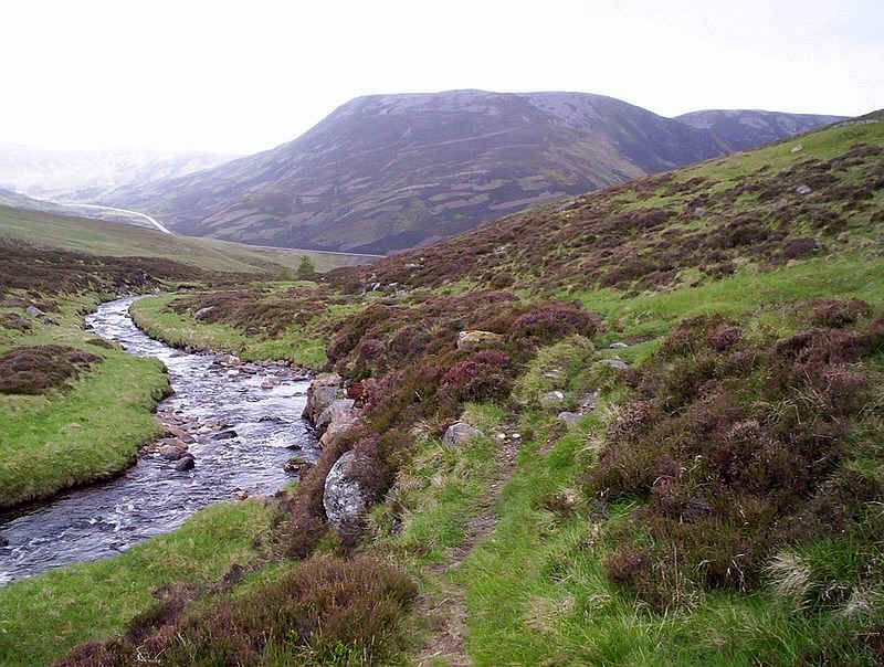
It was lovely to be in the valley and out of the wind...
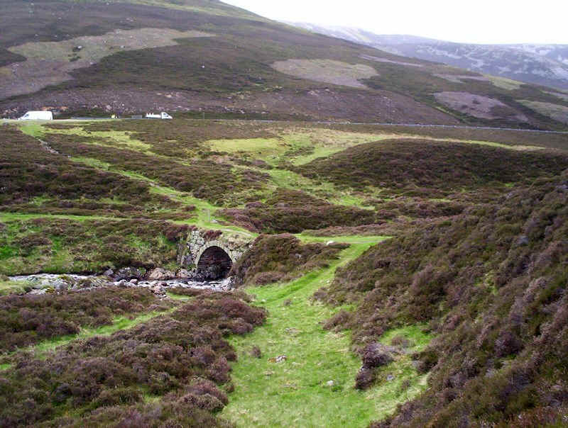
....and an hour and a half after leaving the summit I was relieved to see this bridge on the old road, which means I don't have to cross the Cairnwell Burn.
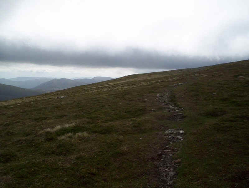
All that remained now was a 4.5 km road walk back over the pass to the car.
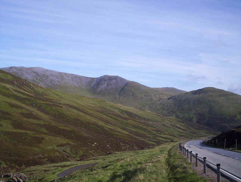
There are wide verges and on the far side of the pass there's a path on the far side of the crash barriers. It's an hour's walk back to the car and I was rewarded with this view of Creag Leacach in the sunlight.