Glenshee West Round
Carn Aosda, The Cairnwell, Carn a'Cheoidh and An Socach
June 2010
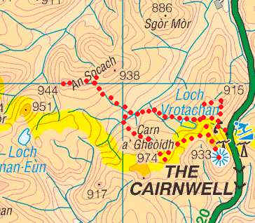
The map below shows the route I took as
recorded by my SPOT GPS personal tracker.
View
Four Munros west of Glenshees in a larger map
This was the first of four days walking
based at Braemar. The plan for the day was to climb the four Munros that can be
accessed from the Glenshee ski centre. The weather was quite poor with low cloud
and intermittent drizzle giving poor views.
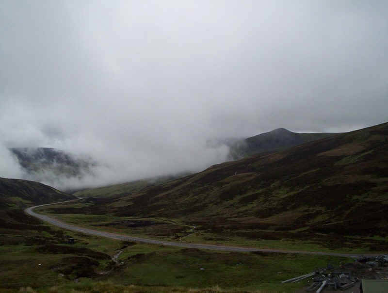
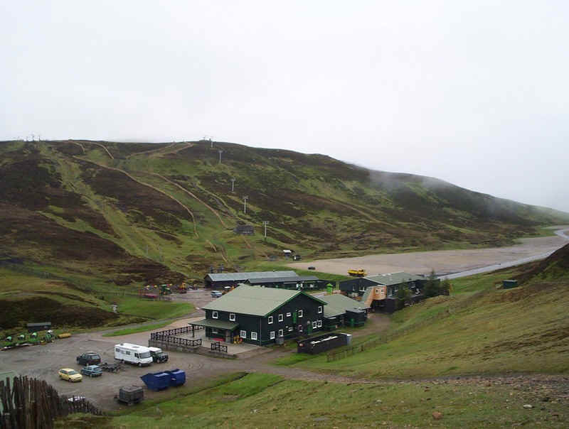
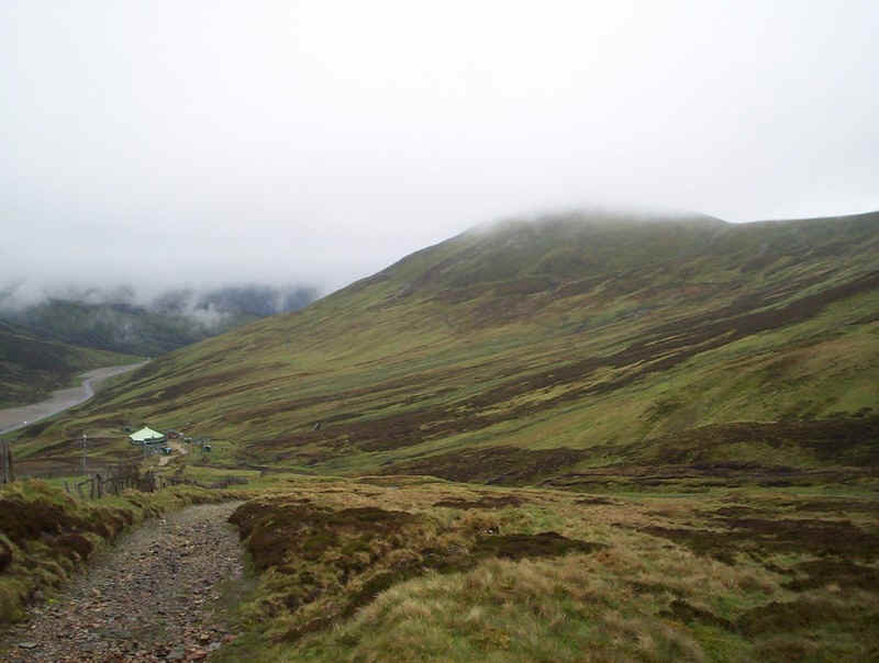
The start of the walk leaves the A93 at the ski
centre, at about 650m above sea level. It's a height that makes climbing these
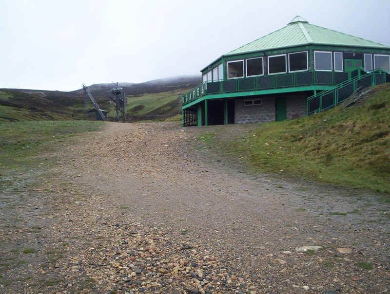
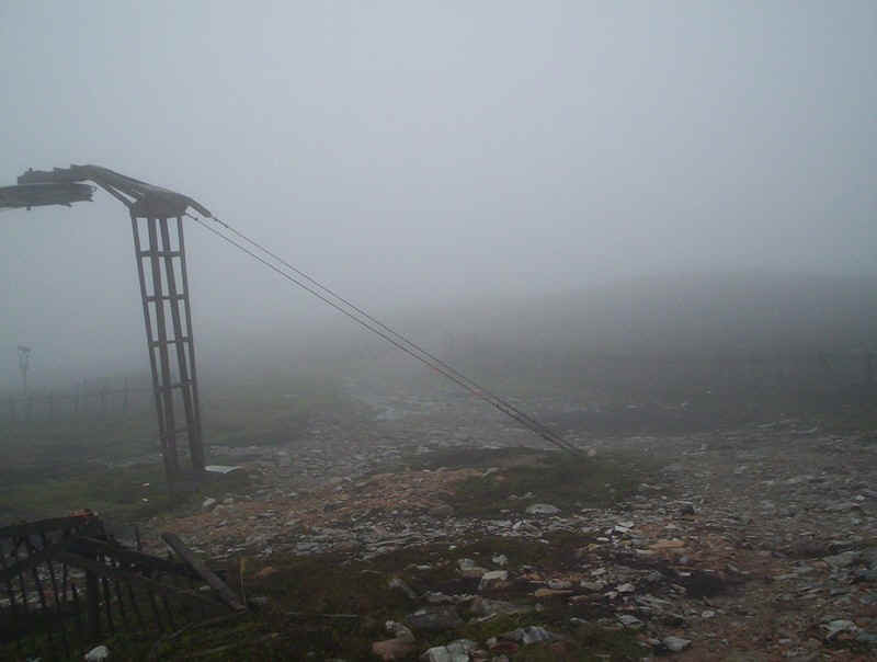
four Munros relatively easy. Am I in Britain or the Alps? Sadly, the cafe is shut as I head up the ski
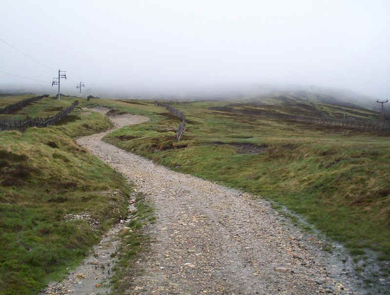
access tracks.... ......passing under the chair lift.... .....with the slopes of The Cairnwell
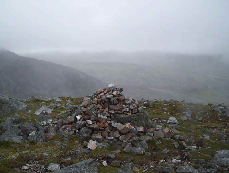
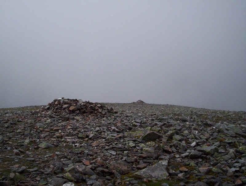
behind..... ....and on up into the cloud..... ......to reach the summit.... .....cairn of Carn Aosda. Forty minutes to
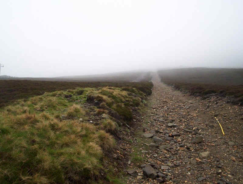
climb a Munro is definitely a record for me! The route now follows the ski access tracks
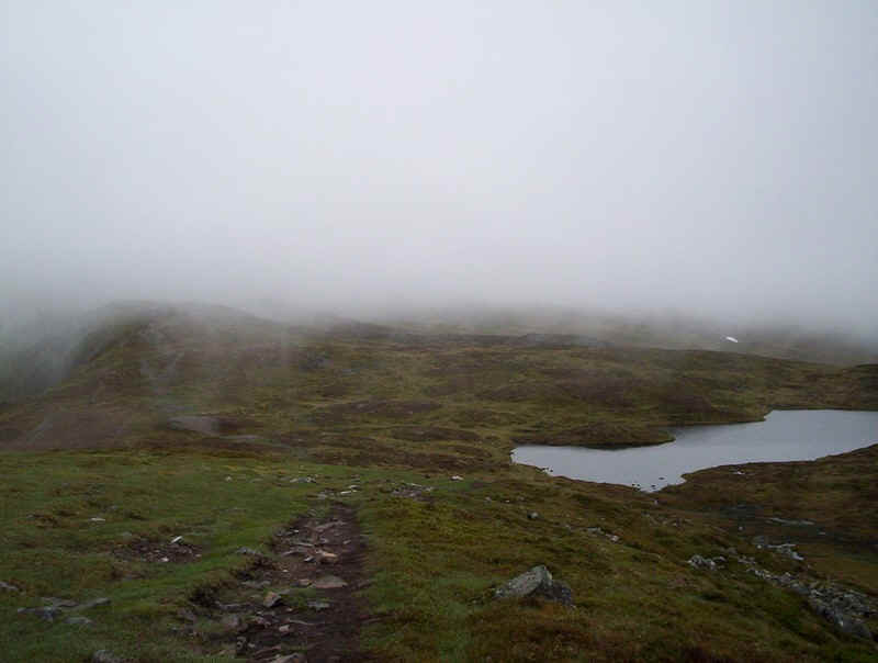
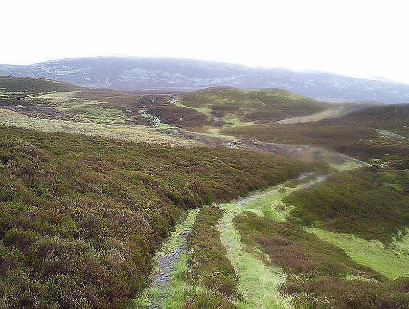
around the top of the Cairnwell Burn.... .....rising and falling across heather
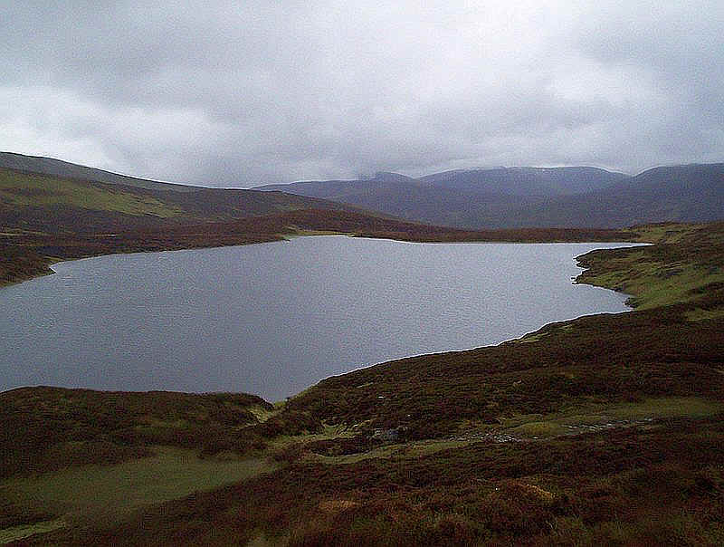
moorland.... ......until it drops down to just above Loch
Vrotachan. Then the gentle climb to The Cairnwell starts,
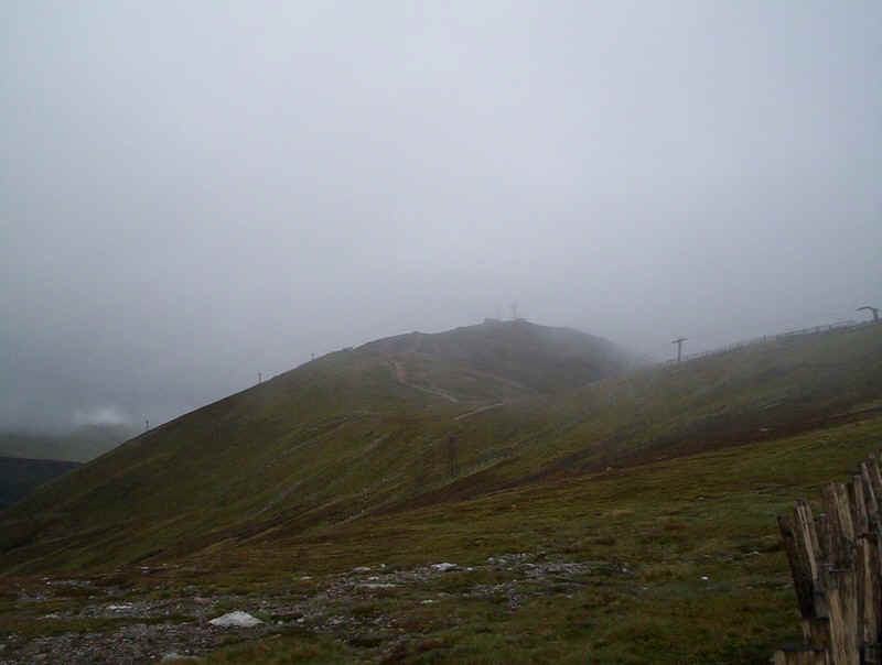
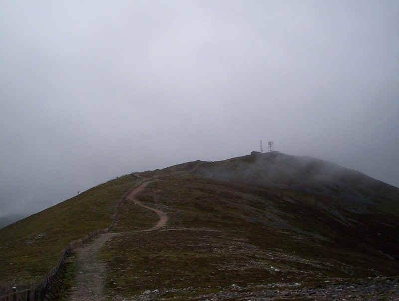
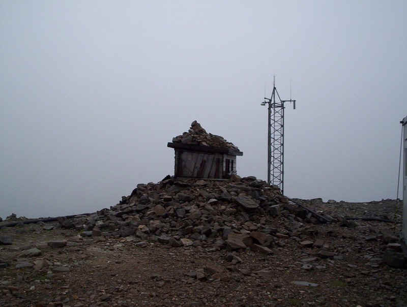
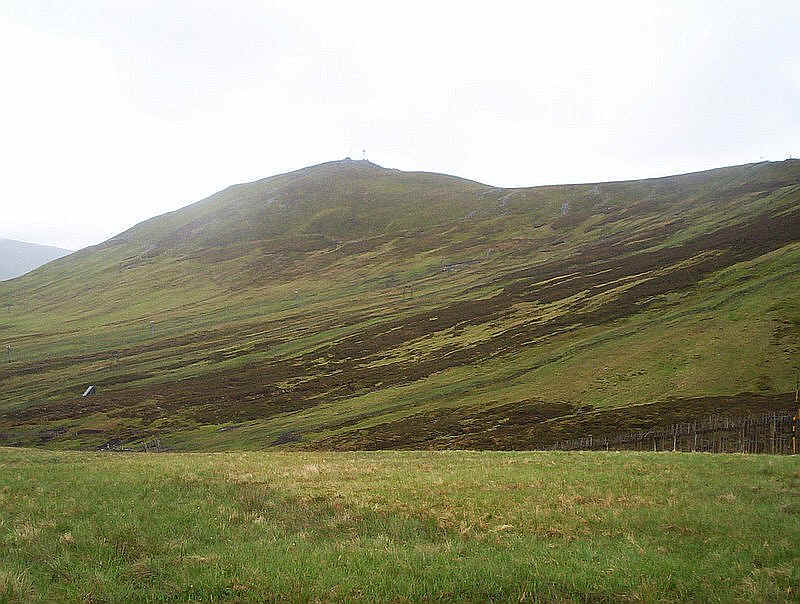
following the snow fences.... ......and passing several ski tows on the way
to the ridge leading to the summit of The Cairnwell... .....with its two radio masts. Is this the most hideous summit of a Munro? It
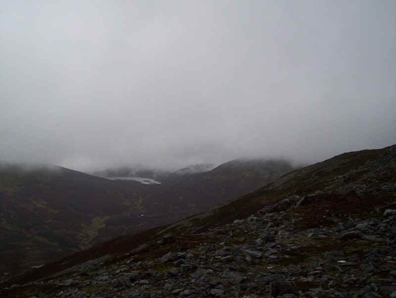
had taken an hour and forty minutes from the start to reach The Cairnwell. The views were poor but for the sake of
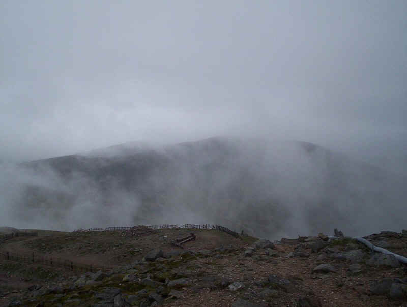
completeness I've include this photo of Carn Aosda glimpsed across the valley. Fortunately the walk now leaves the ski
industry behind as, leaving the ski access tracks, a path heads downhill at
first heading north-westwards towards the Loch... .....and then turns towards the south-west
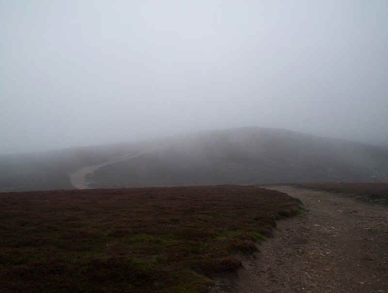
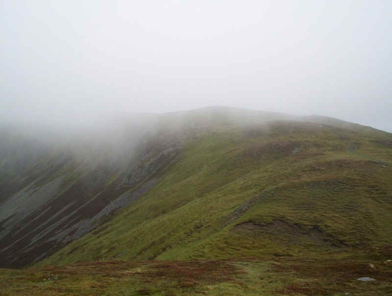
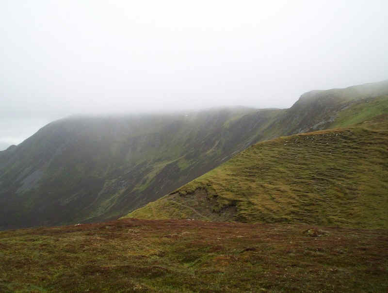
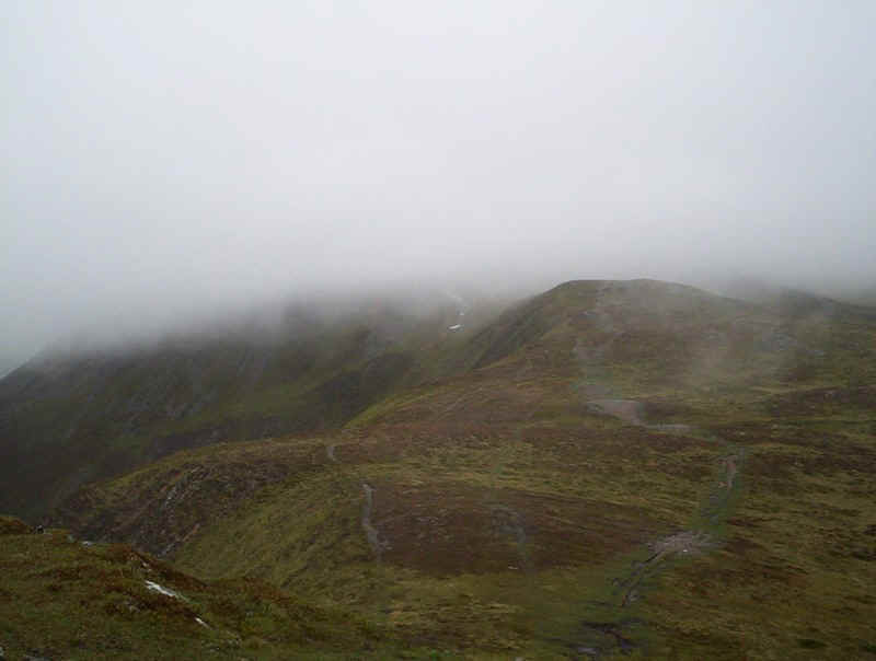
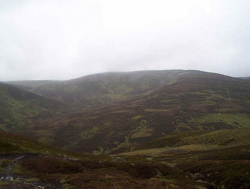
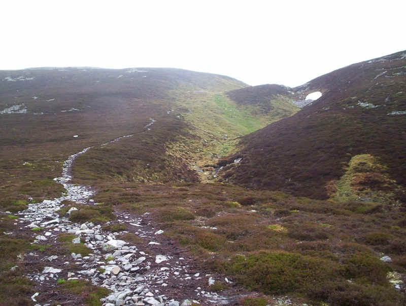
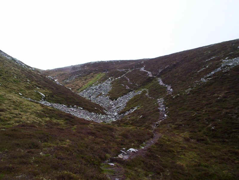
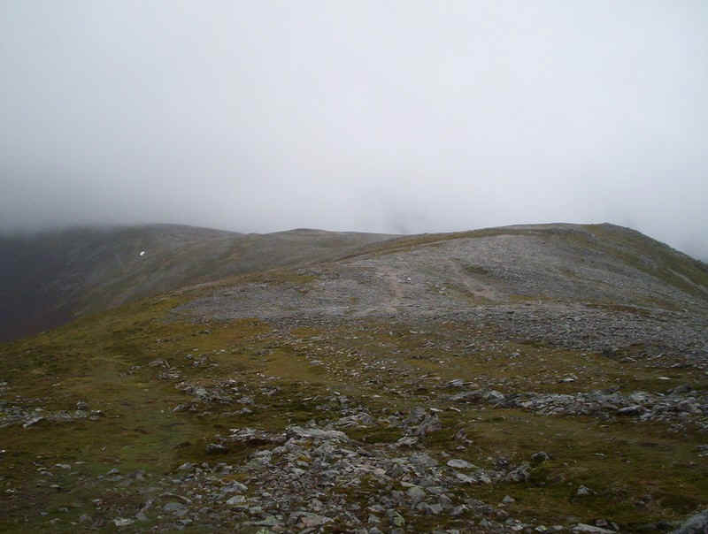
along this easy ridge. The track climbs towards the first top of Carn
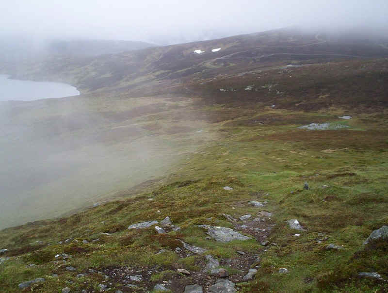
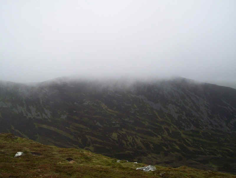
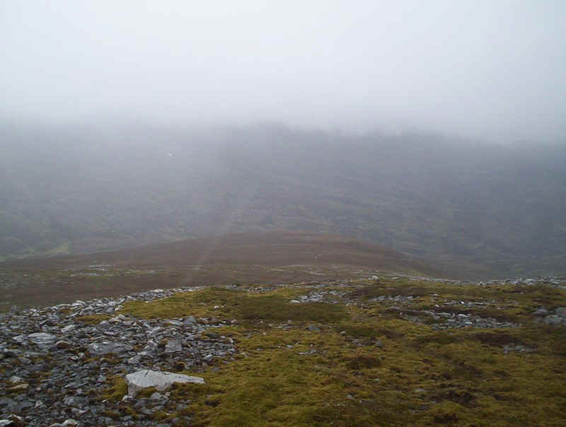
nan Sac (in the clouds above the steep scree slopes)..... ...passing along the undulating ridge... ....and past two small lochans. The track continues along the ridge. Looking back the way I'd come in a moment when
the cloud lifted slightly.... .....and across the corrie to The Cairnwell. There's no need to actually go to the cairn at
the 920m mark at the summit of Carn nan Sac, but in the mist I ended going along
the spur towards it rather than cutting directly across the hillside to Carn a'
Gheoidh. Still, at least I had a bit of a view. The route onwards is across a rather
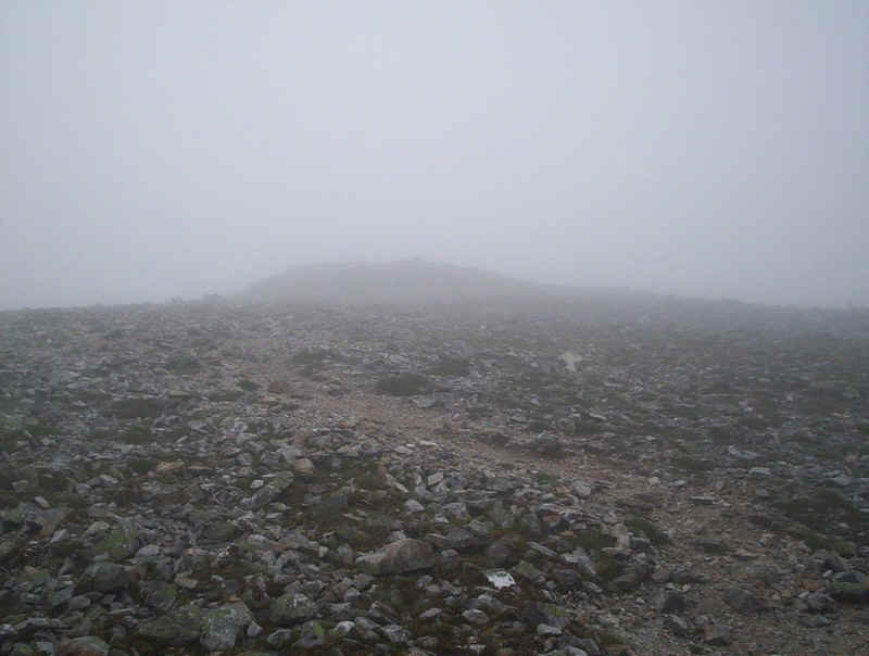
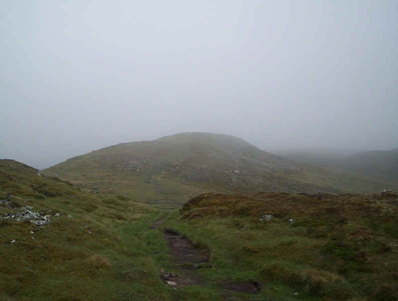
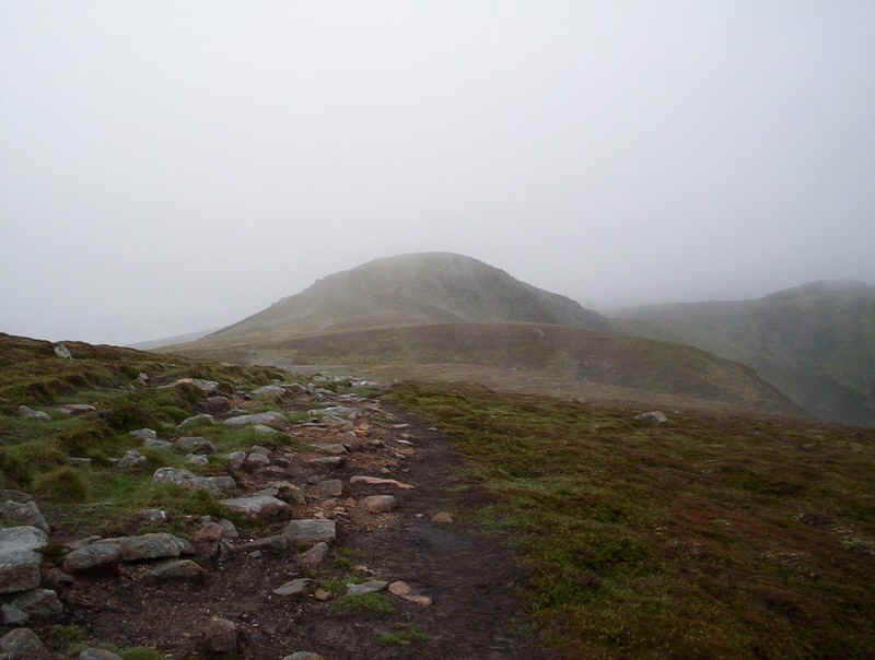
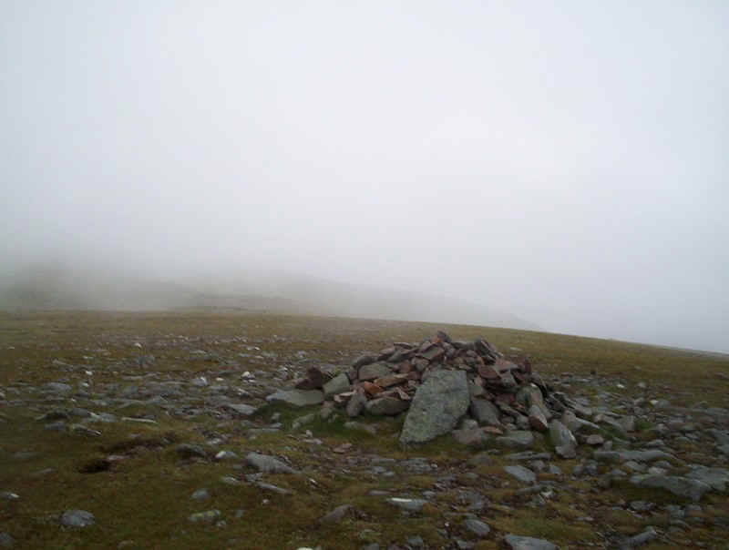
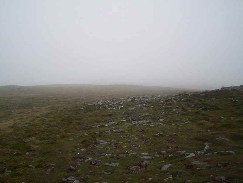
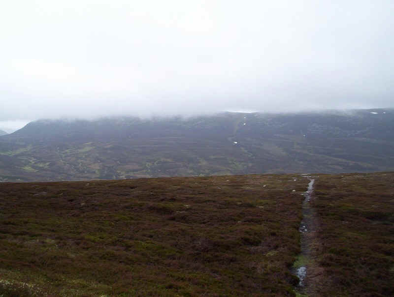
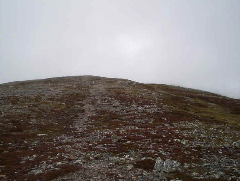
featureless ridge with several cairns to guide the walker... ....and a vague track. After about a kilometre and a half the summit
cairn of Garn a' Gheoidh came into "view". I arrived at the cairn 3
hours and 20 minutes after leaving the ski centre, just in time for a lunch
break. For the continuation of the walk to the next
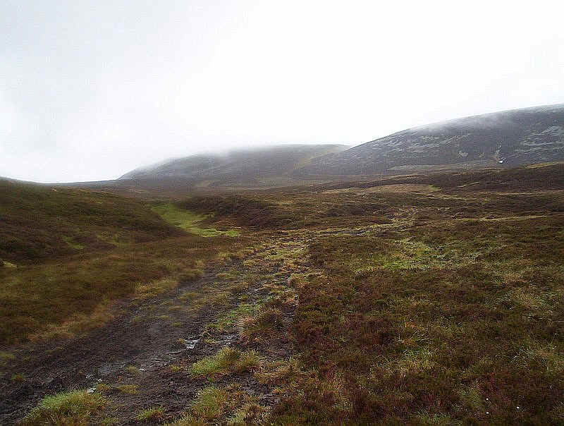
Munro of An Socach, there was no clear path to start with so I walked on a
compass and GPS bearing down the north west ridge. About half way down the ridge
a path appears and then heads almost due north.... .......and becomes very well defined through
the heather. I'd set the GPS to reach the end of the
land-rover track in the valley at about NO 10065 78990. I was pleased to see
that the cloud base was lifting slightly on An Socach so perhaps I might have
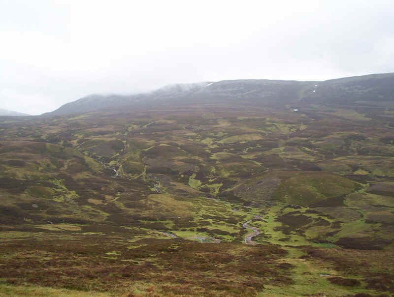
some sort of view from the summit. The Baddoch Burn was reached and at this point
was quite easy to cross. Further down valley though, it is not... (Some condensation was affecting my camera
lens and some of the photos from here on have had to be over-sharpened to be of
use) Once on the valley land-rover track it is
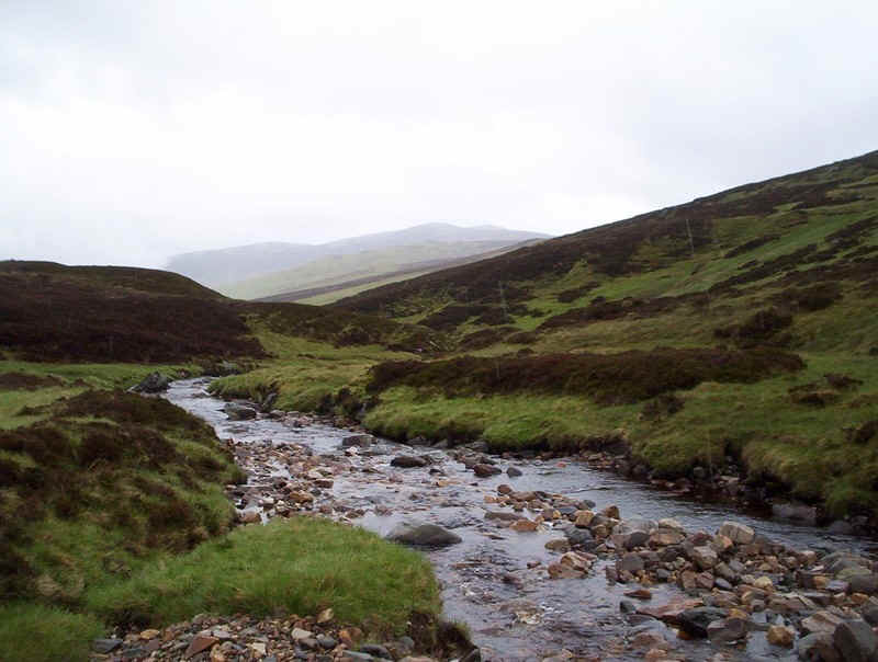
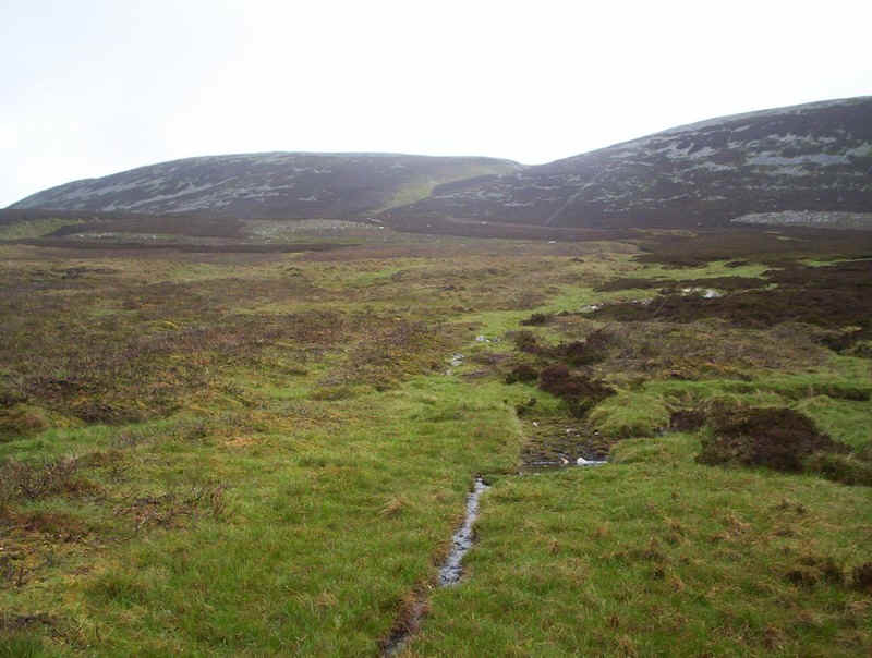
followed for a few hundred metres until.... ......a stream is crossed where a track
leads away from the burn heading directly up to the low point between the
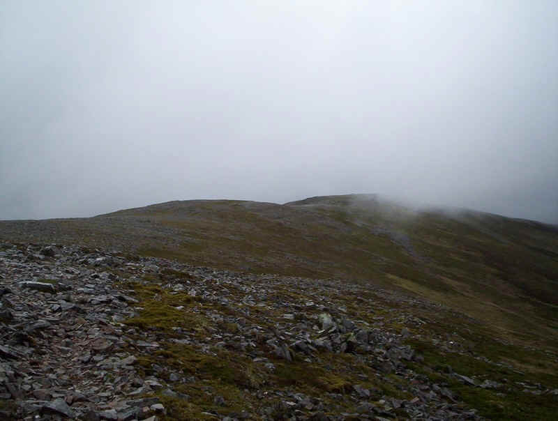
two summits of An Socach. It's a clear, if rather boggy path through the heather
and peat. Looking back to Carn a' Gheoidh. The track leads on gently uphill.... .....before reaching..... .....this depression at the head of the
burn.... .....and finally onto the main ridge. Turning
west..... .....it's a gentle climb over grass and
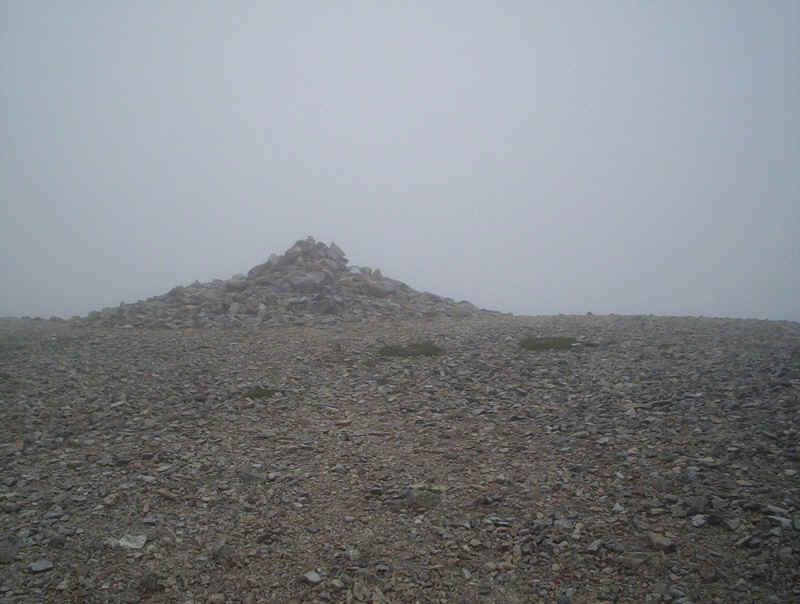
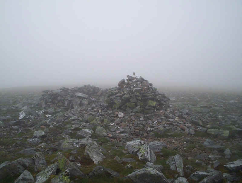
stones... .... to reach the shelter and cairn of An
Socach, the fourth Munro of the day and reached just under six hours from the
start of the walk. The views from the summit weren't good but this
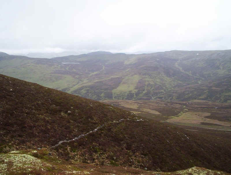
is looking south-west with Loch nan Eun and somewhere behind the clouds are Glas
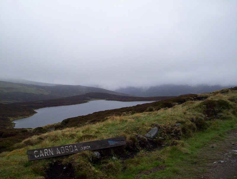
Tulaichean and Carn an righ. I planned to return to the Glenshee ski centre
by retracing my steps to the Bannock Burn, crossing it, heading across the moors
to Loch Vrotachan and then joining the ski access tracks. This is the view along
An Socach's long ridge. The second and slightly lower top is under the clouds. Almost the entire return route can be seen from
this point just before joining the path down into the glen. I'd tried to cross the Bannock Burn lower
downstream and found it impossibly deep and fast flowing so was reconciled to a
tramp back upstream to cross it where I had done earlier. When this bridge
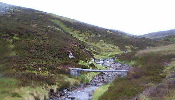
appeared it was a great relief! This is another of the photographs affected by
condensation on my camera's lens but I've included it as this bridge is
strategically important for completing this route easily. It appears to be
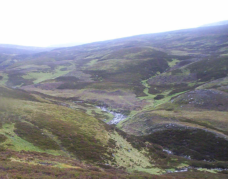
relatively new and is located at NO 10173 78815. Looking downhill as I climbed up hill towards
the loch. The bridge can be seen in the centre of the photo. It's an easy tramp across the moor.... .......with a view of an Socach completely free
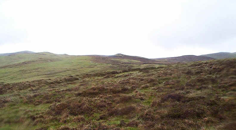
of cloud. There's no path on this section of the walk so
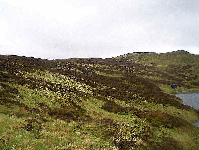
I followed the northern banks of Loch Vrotachan past the small hut.... .....and climbed up to the main ridge leading
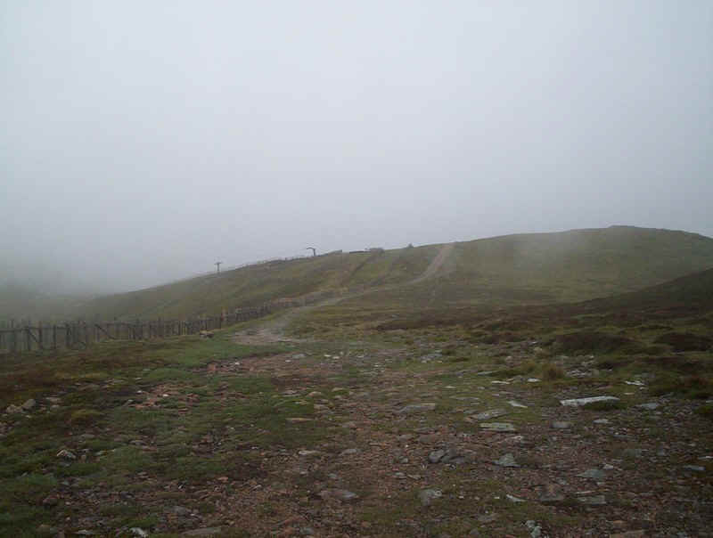
to the ski area access tracks. The OS and Harveys's maps aren't entirely clear
about the access tracks and I wasn't entirely certain whether the one that
starts at about NO 12765 78660 actually leads down to the main road. It appears
on the map to stop at the bottom of one of the ski tows. However, it actually
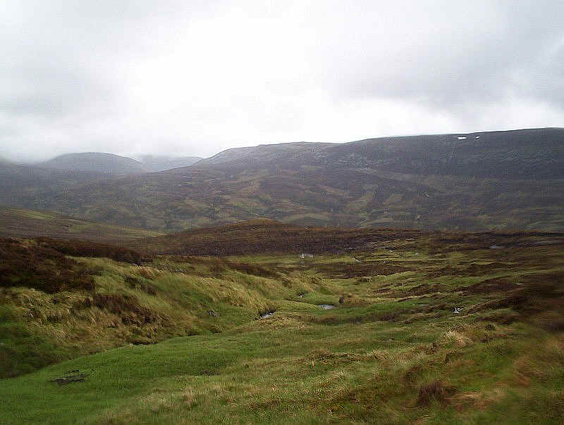
does join the main access track and offers a very quick way down off the hills. A final view of the day shows The Cairnwell
clear of cloud. I was back at my hire car just under 9 hours after starting the
walk. Progress had not been rapid, partly because I'd taken a lot of
photographs, talked to some other walkers and had several "pit stops"
for food, as well as having wasted time trying to cross the Bannock Burn.
Nevertheless my Munro tally had crept up to 79.