Gulvain
This is one of the Munros that I've suggested you can use public transport for. There's a Monday to Friday bus from Fort William that will get you to the start near Drumsallie A830/A861 junction ( Trislaig Rd End) by about 09:20 with a return at 16:38. A later return is possible by bus at 18:04 to Glenfinnan and then a train back to Fort William at 19:04.
I took just under eight hours to do the walk but took a lot of breaks and could certainly have done it in a much shorter time if needed.
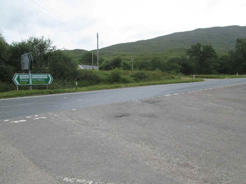
However, as I was hiring a car to climb some of the more inaccessible hills I drove to park in one of the laybys on the A861.
Starting from the layby the A830 is crossed and the access road to some houses is taken...
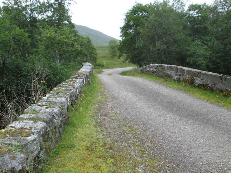
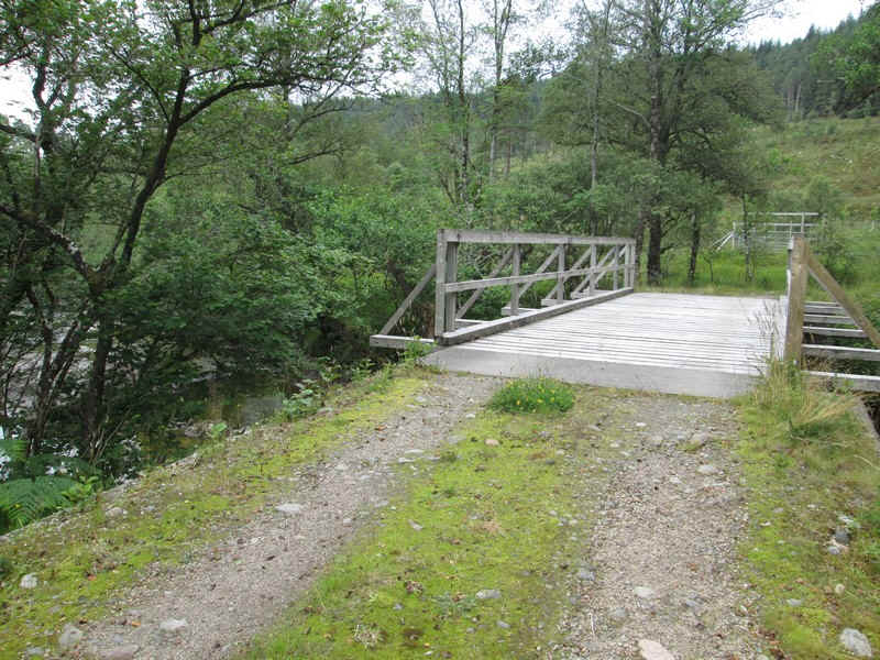
...before crossing a bridge on what was once the old main road.
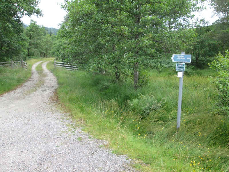
Immediately afterwards the right of way signposts points left to the track up Gleann Fionnlighe.
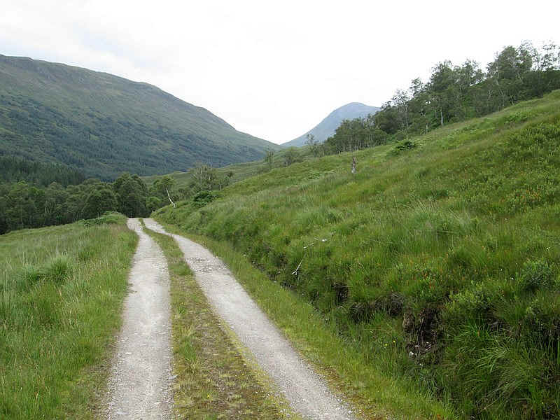
The vehicle track makes for easy and rapid progress up the glen. As the track starts to drop downhill the long south ridge of Gulvain comes into view.
The track crosses over the Fioon Lighe...
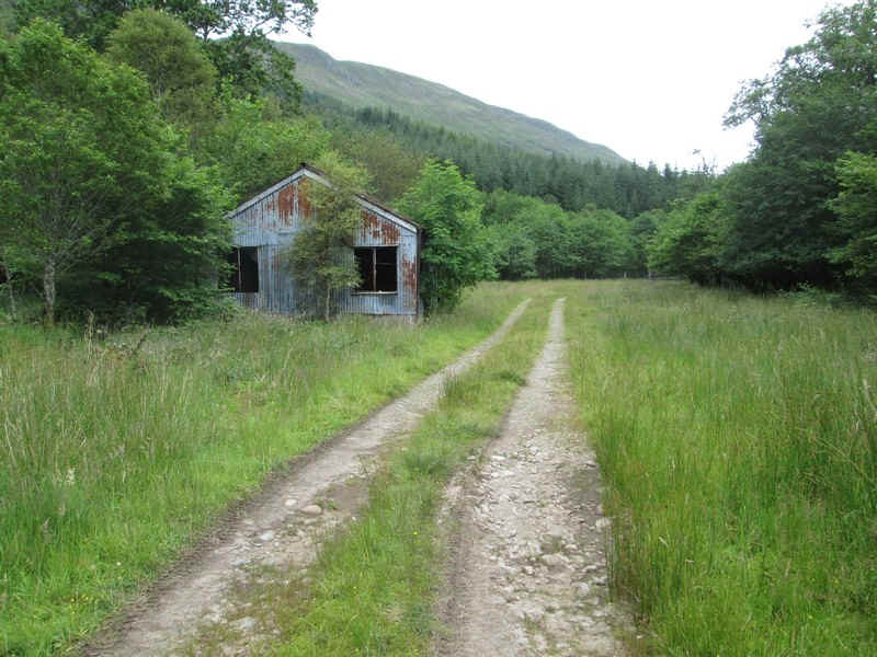
..and passes a semi-derelict shed, after which the track becomes a little rougher.
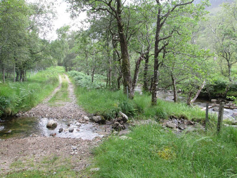
There's a pleasant section through woodland by the stream..
...before more open moorland is reached.
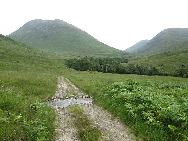
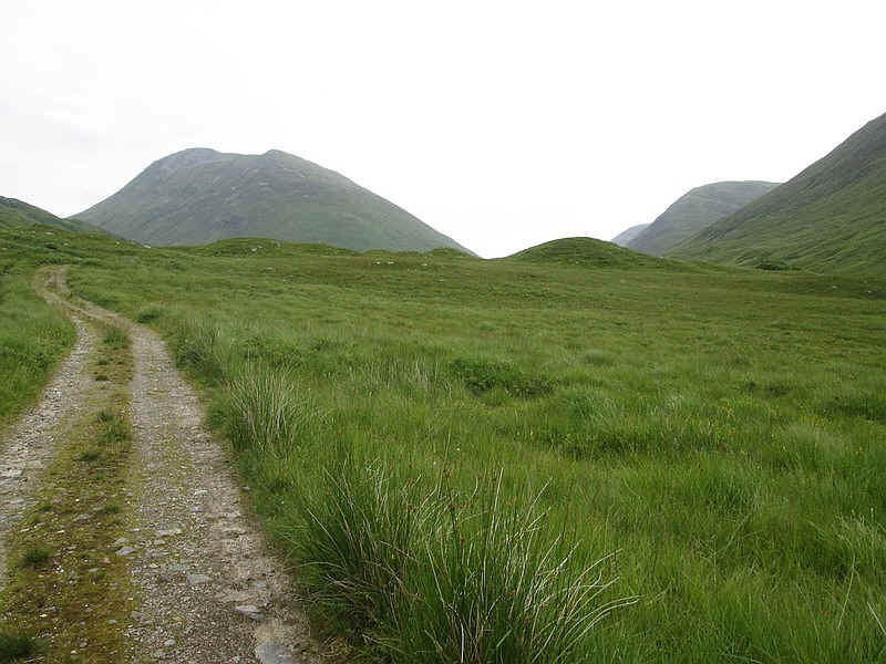
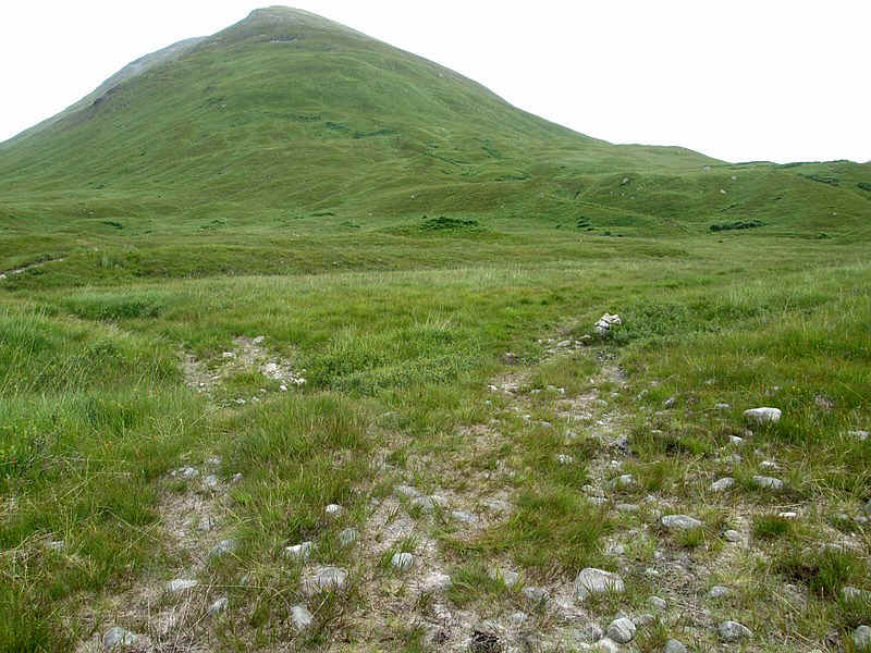
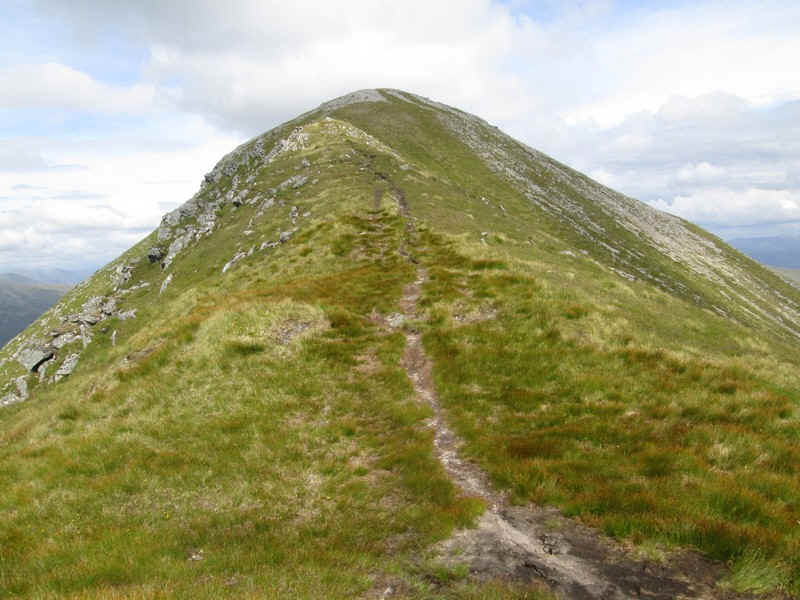
Directly ahead is the long ridge leading to the south west top of Gulvain at 961m. The actual summit is some way beyond this.
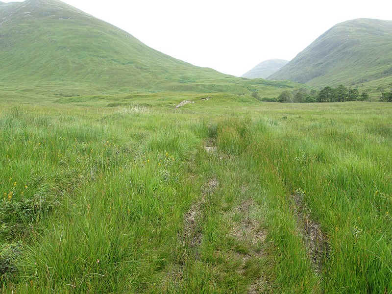
For a short section the track becomes indistinct and a little boggy..
...but then reappears. Over to the right is the Corbett - Mealll a' Phubuill.
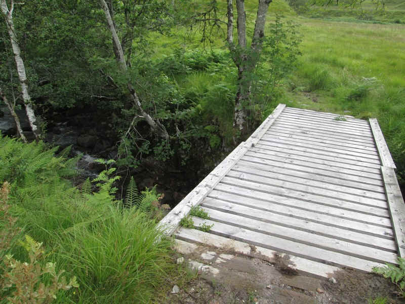
A bridge takes the track across one of the side streams...
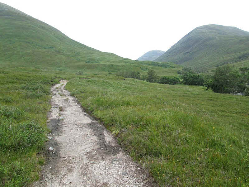
...before the track splits. The one to the right is the one that goes to the hill and is marked by a small cairn.
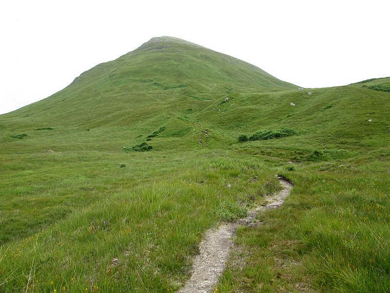
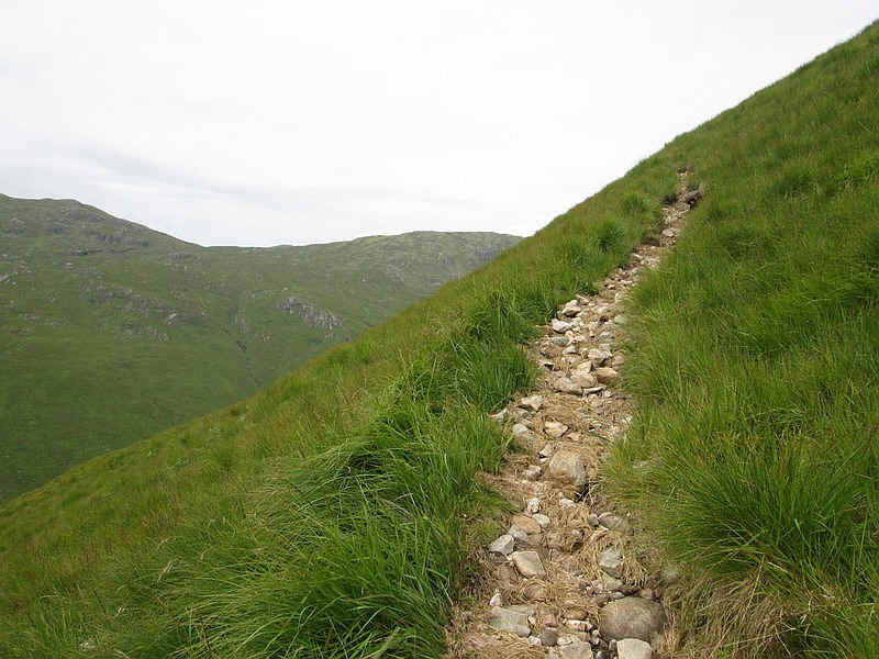
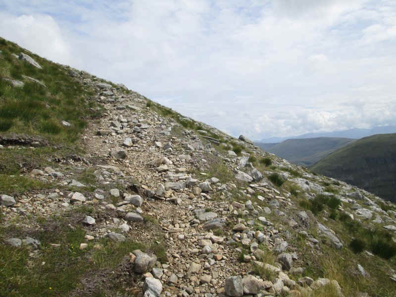
The path heads straight for the end of the ridge - Leac a' Chaiginn on the OS maps.
There is now a long 700m drag from 150m up to the first summit at 855m at an average gradient of 1 in 2.75. This climb can seem endless!
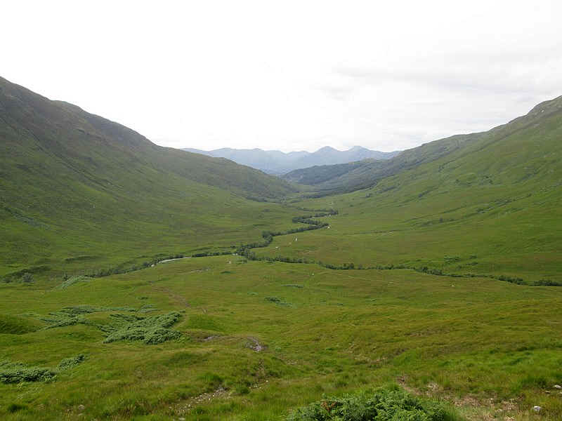
Looking back down the glen with the hills on the Ardgour peninsular in the background.
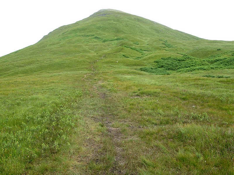
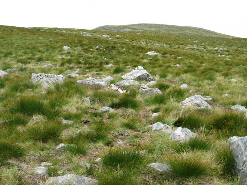
Generally the path is clear and.....
.....height is gained steadily...
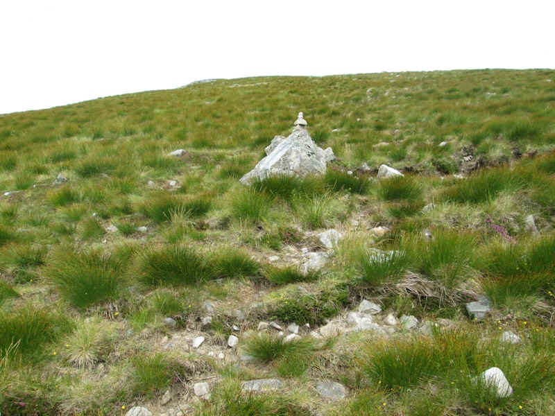
....to reach this small cairn,
In places it does fade a little...
....but is often very clear.
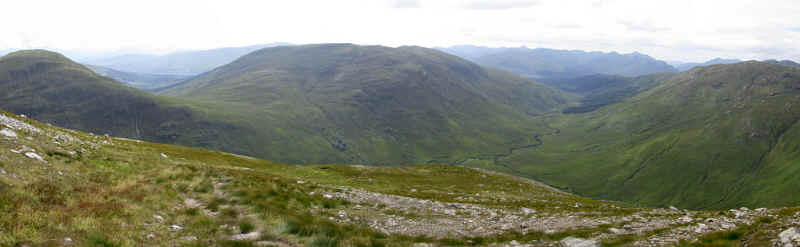
A panoramic view looking back down the glen.
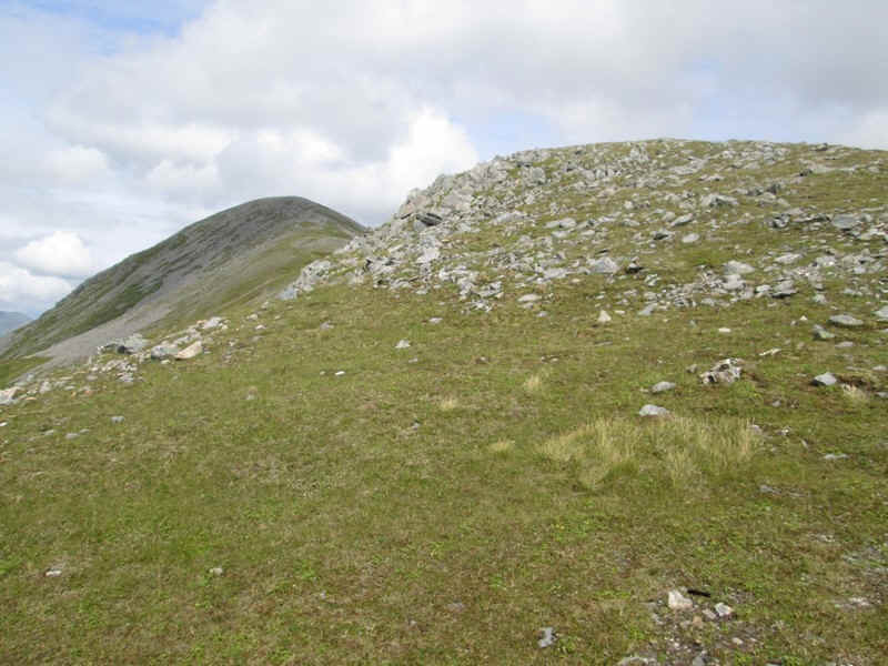
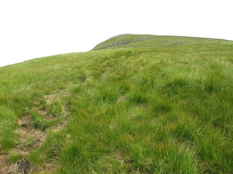
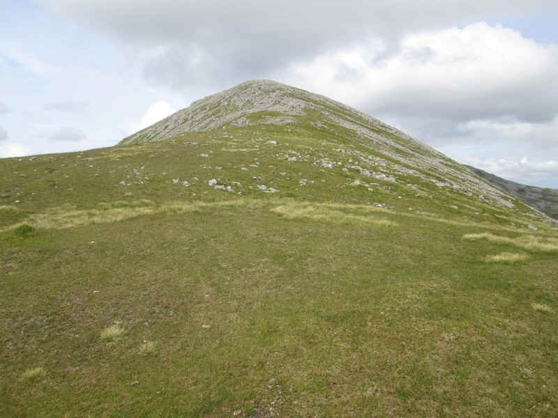
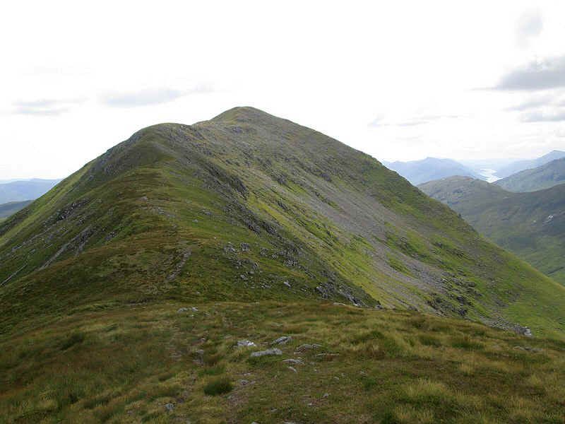
Eventually the 855m spot height is reached and the first view of the south top appears.
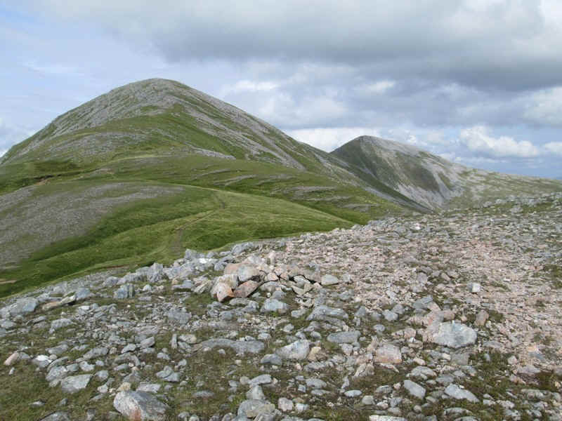
Finally the main summit of Gulvain is revealed over to the right almost 2km away.
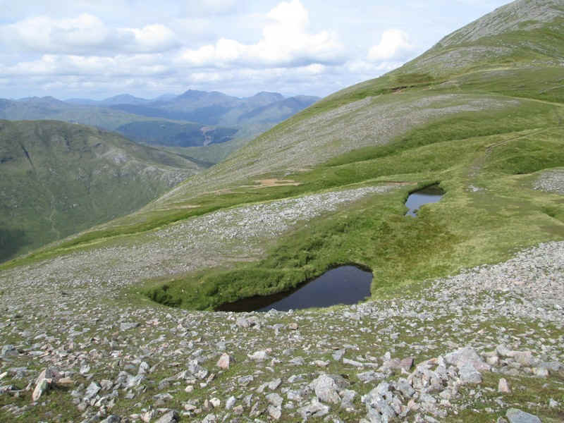
The path drops slightly to these two small pools which surprisingly aren't shown on the OS maps. The one nearest is in a noticeable depression.
There is then a gentle rise to reach the 961m summit with its...
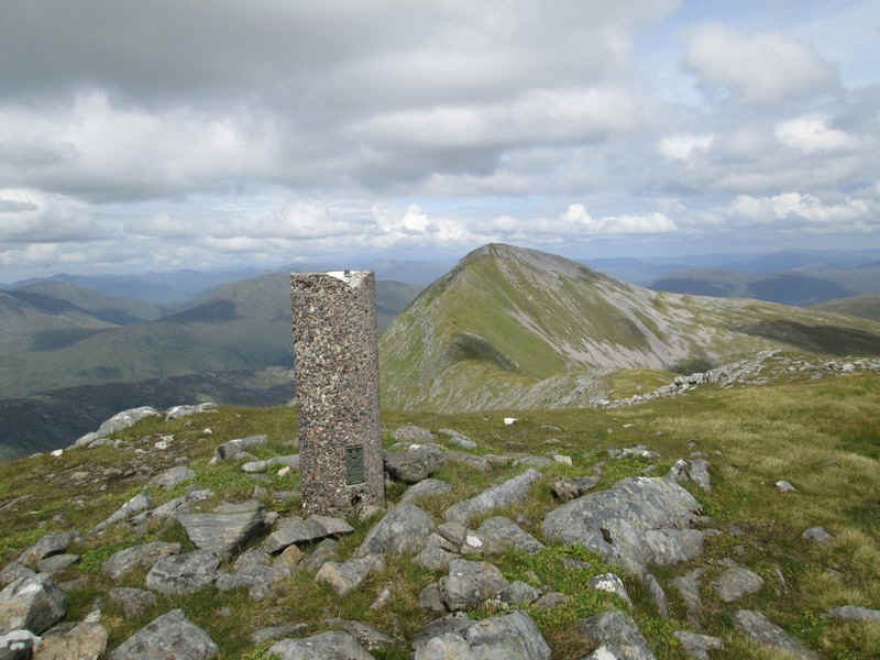
...column trig point. I understand many people have mistaken this for the actual summit!!
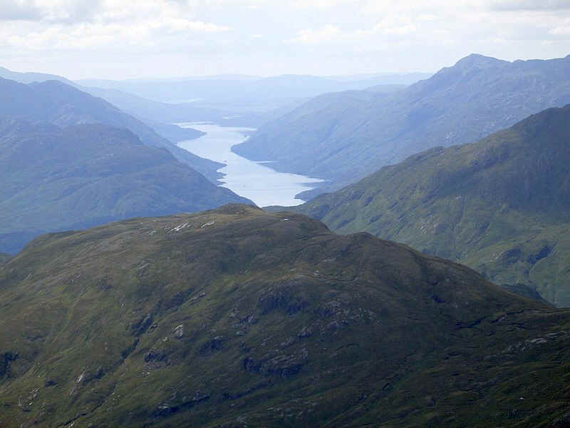
From here there is a superb view looking down Loch Shiel. The head of the loch at Glenfinnan is out of sight behind the hill on the right.
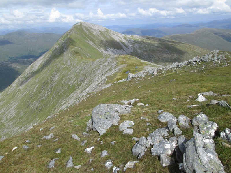
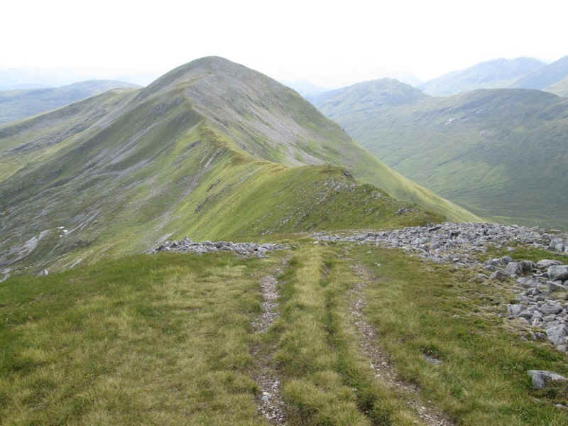
I was really looking forward to this final section of the walk along the narrow(ish) ridge to the summit.
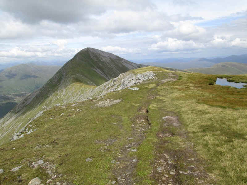
The track drops down to coll passing another small pool.
From the coll it looks a relatively easy climb up the ridge although I'd been warned that it does get quite narrow at one stage......
The path still looks good although I was glad not to be up here in a gale.
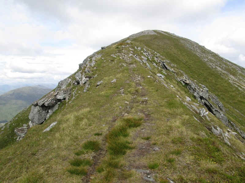
For one very short section the ridge does become quite narrow but unusually for me I felt no great sense of exposure. Perhaps I'm getting used to drops on both sides.
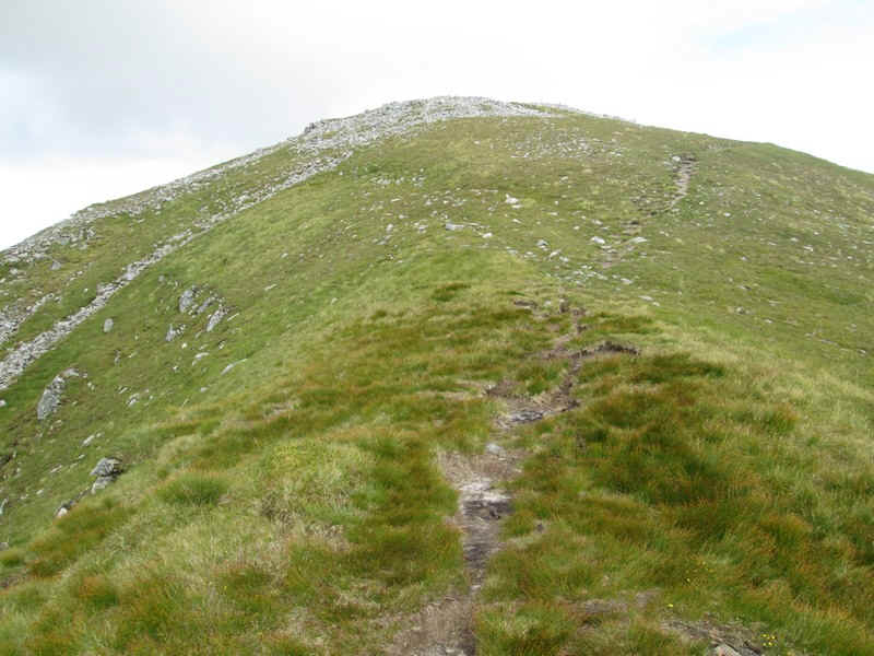
Then it's off the narrow ridge and on up a grassy slope to reach...
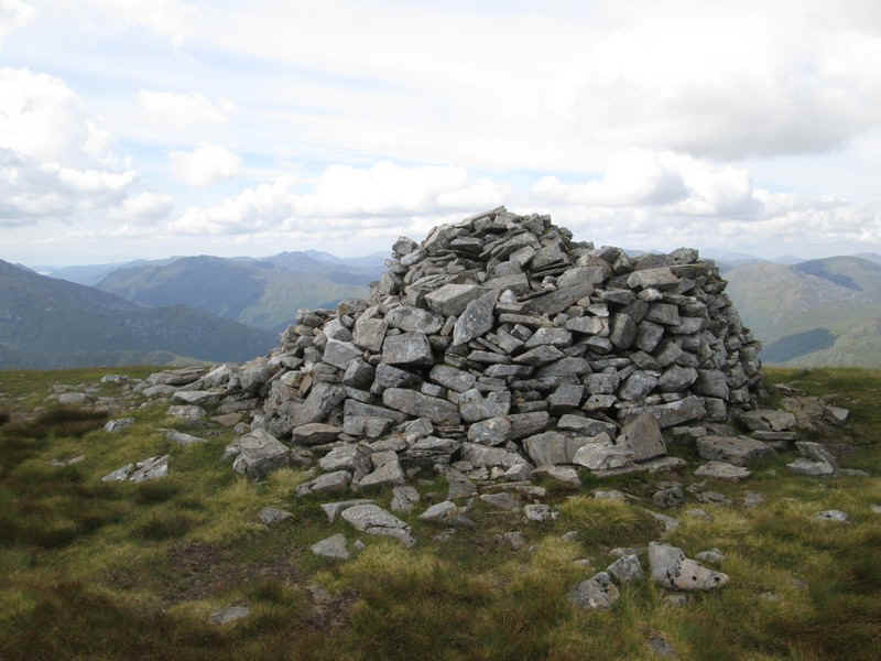
...the large summit cairn. Including several breaks for snacks, photos and quite a long lunch break it had taken me five hours of steady walking to reach the summit. Given that most guide books suggest about 4 hours 20 minutes I was very pleased with this time.
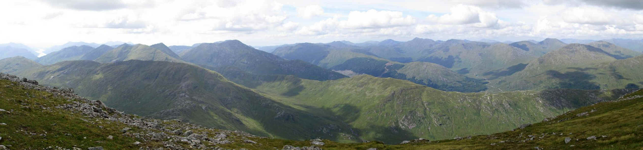
This panorama shows the hills to the west and north west. The highest hill to the left of centre is one of the Munros above Glenfinnan - Sgurr Thuilm. To the far left is Loch Shiel and over to the right are the vehicle tracks in Glen Dessary.
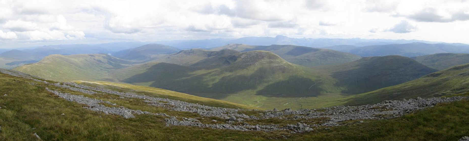
Over to the east are the hills beyond the Great Glen with Ben Nevis prominent in the centre.
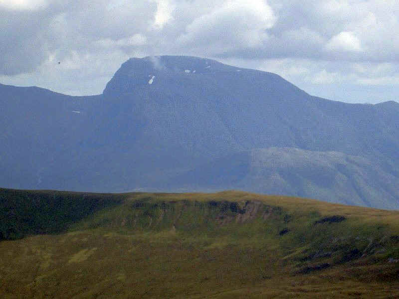
A zoomed in view of Ben Nevis.
looking back along the ridge to the south top.
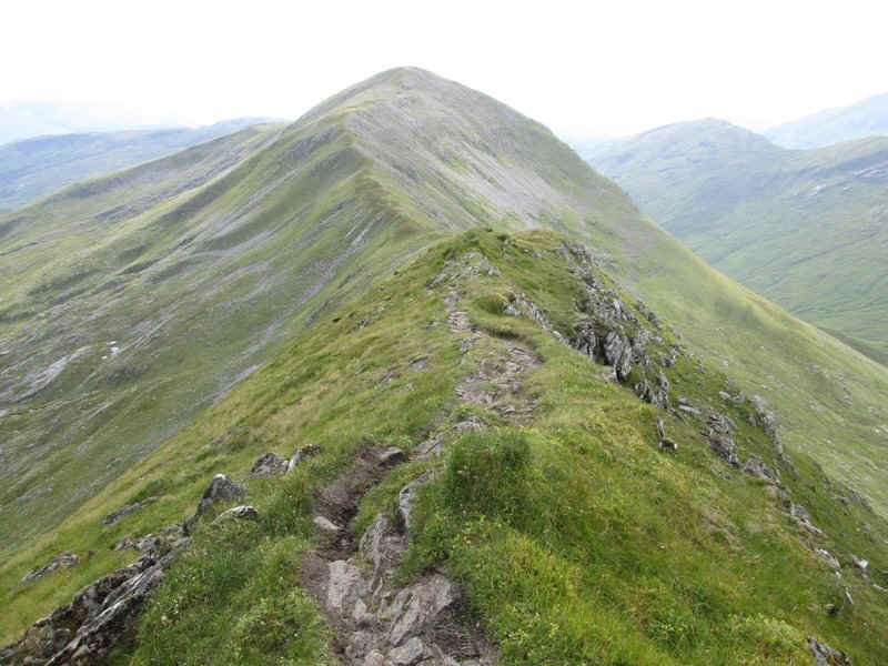
The narrow section on the ridge - probably not a nice place to be in high winds.
I left the summit at 14:15 and arrived back at the road at 17:45.