Leum Uilleim
I climbed Leum Uilleim in August 2023, arriving by the early morning train from Fort William and returning on the late afternoon service. With only three trains each way climbing hills from Corrour can result in very long waits if the walk takes longer than planned!
The map above shows my track taken from my Spot personal tracker. Click on the top right corner to see a larger map.
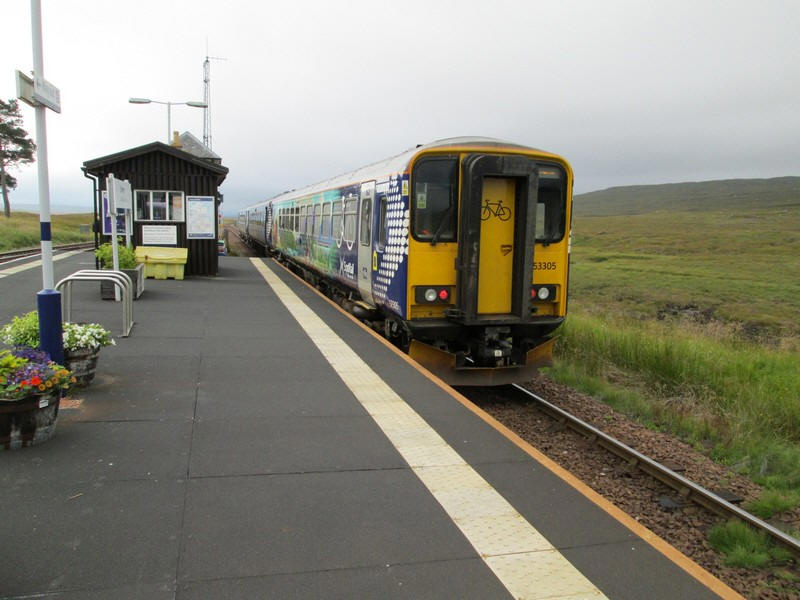
My train leaves Corrour for Glasgow just after 08:30. Note that the last coach is one of the new cycle coaches that some trains on the West Highland line now have. Corrour is, of course, the highest station on the line.
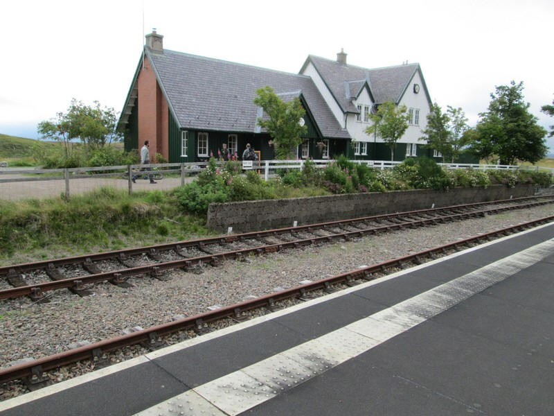
Corrour station restaurant and hotel.
Corrour station is the highest in Britain and inaccessible except by train and on foot unless, of course, you have permission to use the private estate roads.

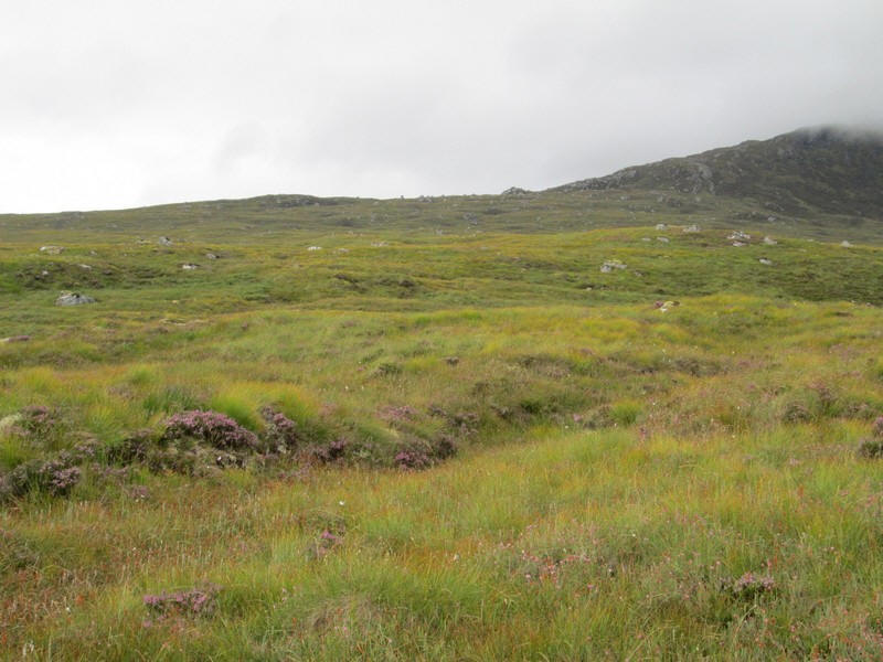
Leaving the station there's no view of Leum Uilleim which is hidden under cloud
The stalkers' path crosses what has become known as the 'Trainspotting Bridge' after its part in the Film 'Trainspotting'.
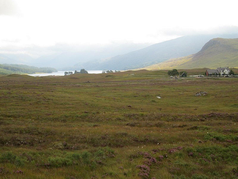
Looking back towards Corrour station with Loch Ossian beyond.
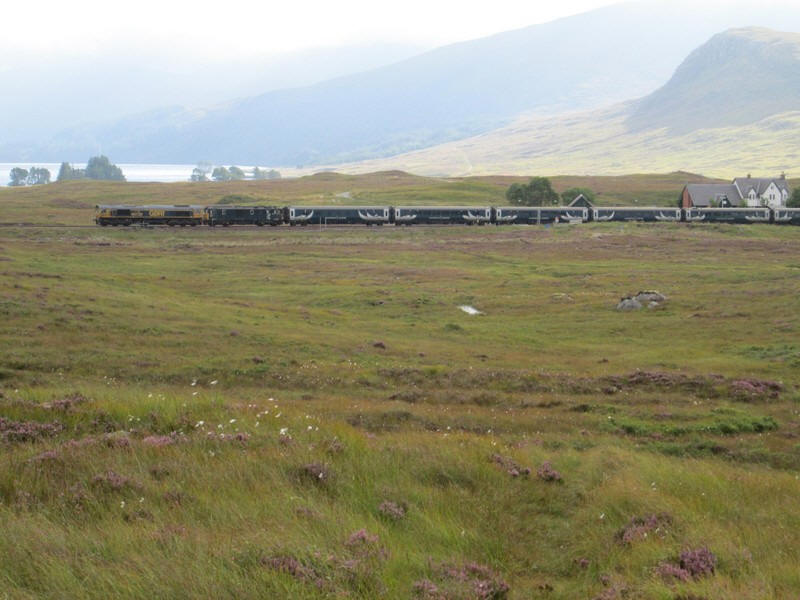
A few minutes into the walk I heard the London to Fort William sleeping car train climbing to the summit at Corrour. It stopped for passengers to get off before heading on towards Fort William.
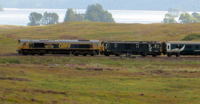
For the railway enthusiasts among you the locomotives were 66738 and 73968.
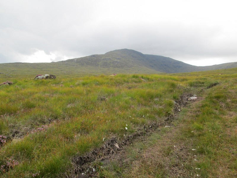
Leaving the stalkers' path I headed directly across the moor towards the rocky outcrop on the ridge leading up to Leum Uilleim.
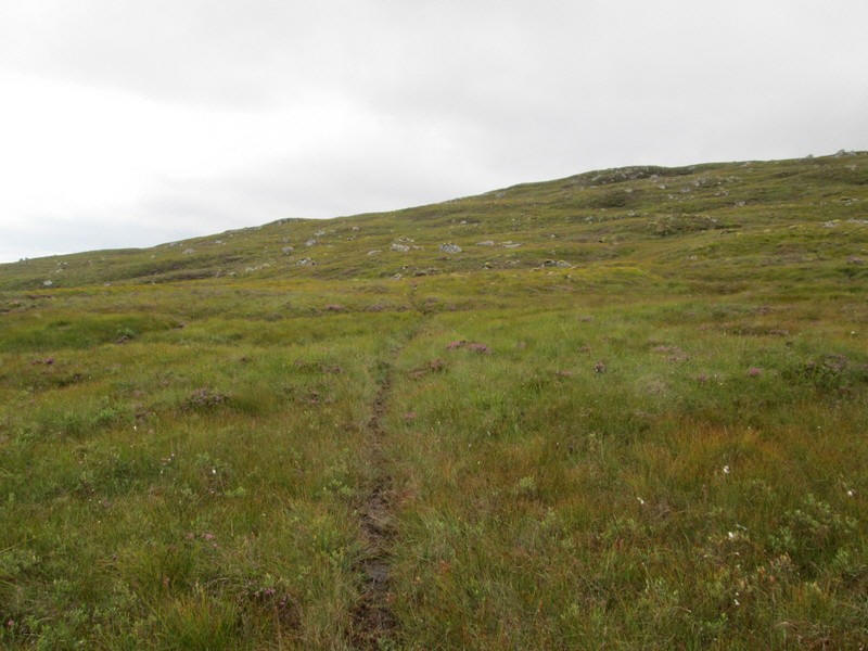
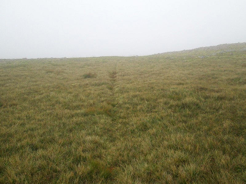
To my surprise I intersected a very clear track. It looked to be a deer track rather than one made by humans.
A panorama looking back to Loch Ossian with the Munros Beinn na Lap to the left and Carn Dearg to the right - both cloud covered.
Click on the image to enlarge it.
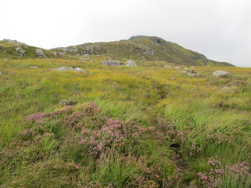
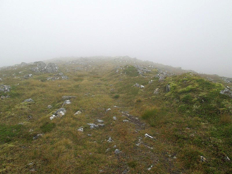
The track joins the ridge and appears to become more of a human formed one.
It climbs steadily up through heather.....
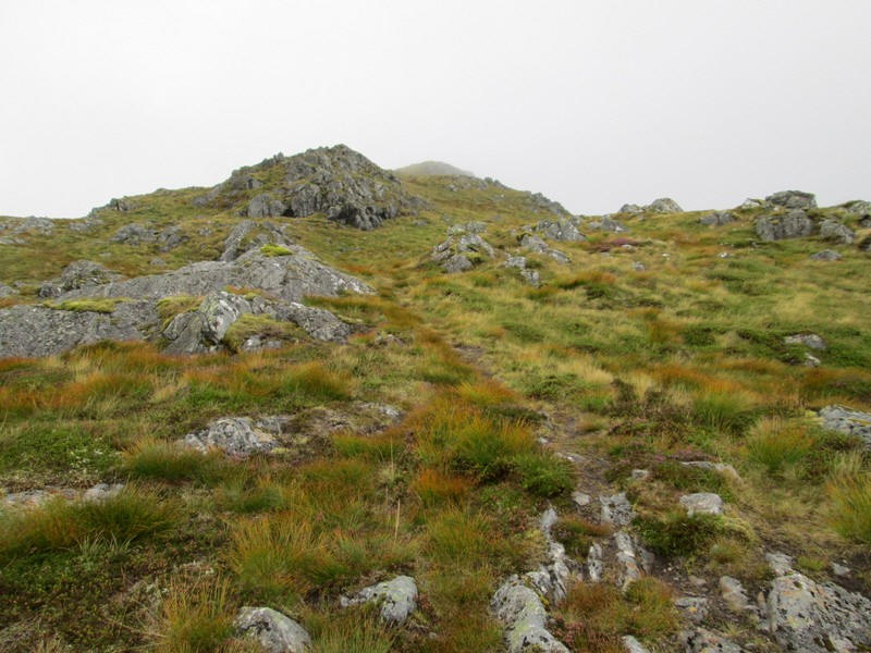
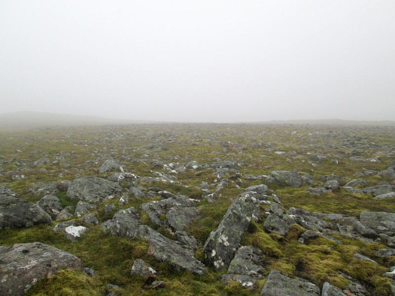
....and rock to reach a ridge named on the map Sron an Lagain Ghaibh.
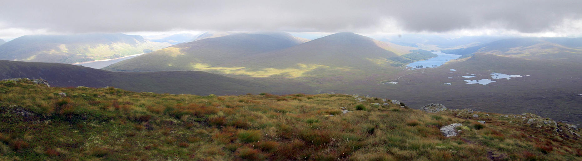
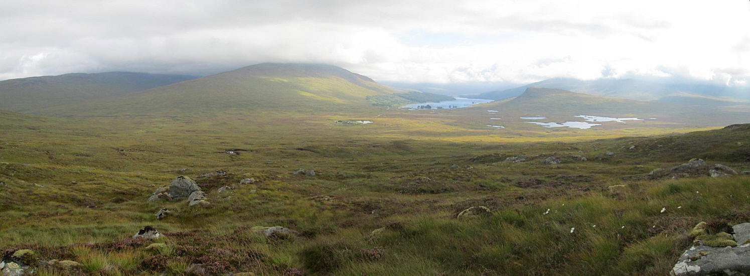
Another panorama this time stretching from Loch Treig on the left across to Loch Ossian and Rannoch Moor on the right
Click on the image to enlarge it.
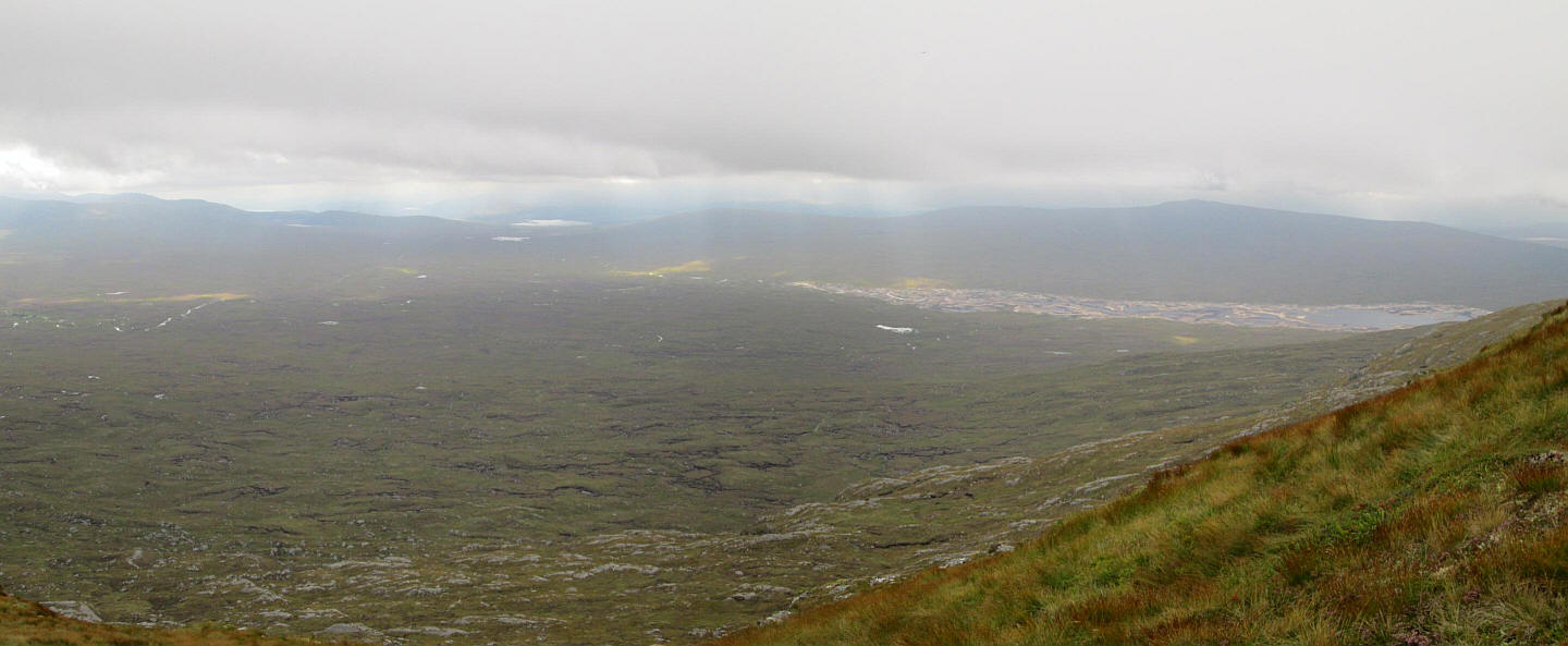
A panorama looking across the vast expanse of Rannoch Moor with the top part of the Blackwater Reservoir on the right.
Click on the image to enlarge it.
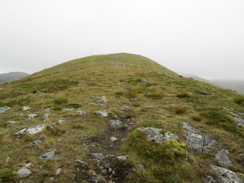
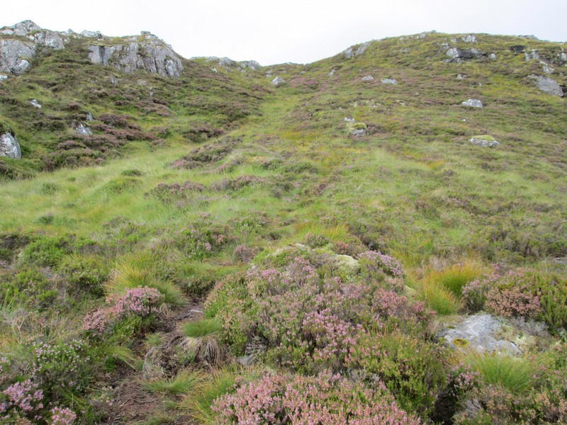
Here I've reached the top of the climb on to the ridge and....
...am just inside the clouds.
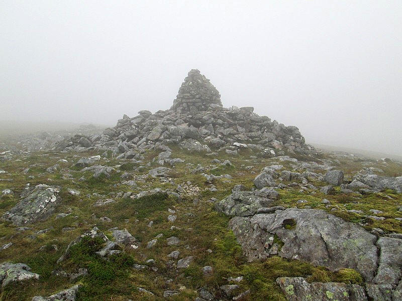
I've reached the enormous summit cairn and shelter of Leum Uilleim 909 metres above sea level. It's only 5 metres short of being a Munro but the height gain from Corrour is only 500 metres. Contrast this with 740 metres of ascent to the Pap of Glencoe or the 750 metres to the summit of Meall a' Phubuill earlier in the week.
Perhaps Scottish hill walkers should consider the amount of ascent needed to climb a hill from the normal access point rather just the simple height above sea level?
It had taken me exactly two and a half hours to reach the summit.
I headed off from the summit after a brief pause to talk to two other walkers and headed roughly west at first until....
...I came across this track. Wrong move coming up!
I followed it for a short distance before the track disappeared. By now I realised that I was actually descending into the corrie rather than heading for the bealach at the top of the corrie.
I decided that it would be more interesting to continue down into the head of the corrie and then climb up the hillside opposite to get on the track I wanted to take back to Corrour.
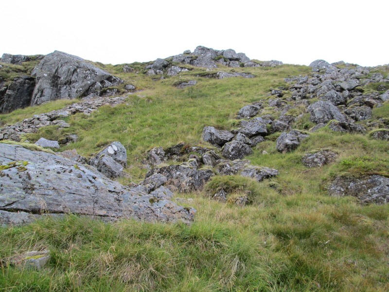
I've now threaded my way down through some rocky outcrops...

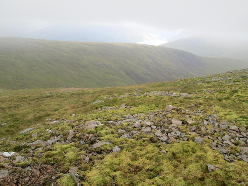
...and am heading across the top of Coir a' Bhric Beag.
Looking down Coir a' Bhric Beag towards Corrour. Click on the photo to see a larger image.
Having descended I now have to climb back up onto the ridge on the opposite side of the corrie. This deviation from my original plan meant I ended up climbing about 100 metres more than planned. However, it was worth it to experience being in the corrie rather than on a less interesting ridge.
Having climbed up I meet the all terrain vehicle track that runs along the ridge.
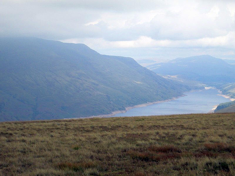
The clouds have now lifted a little and I get this view of Loch Treig (a reservoir that supplies the HEP plant at the Fort William aluminum works). To the left are the twin Munros Stob Coire Easain and Stob a' Choire Mheadhoin.

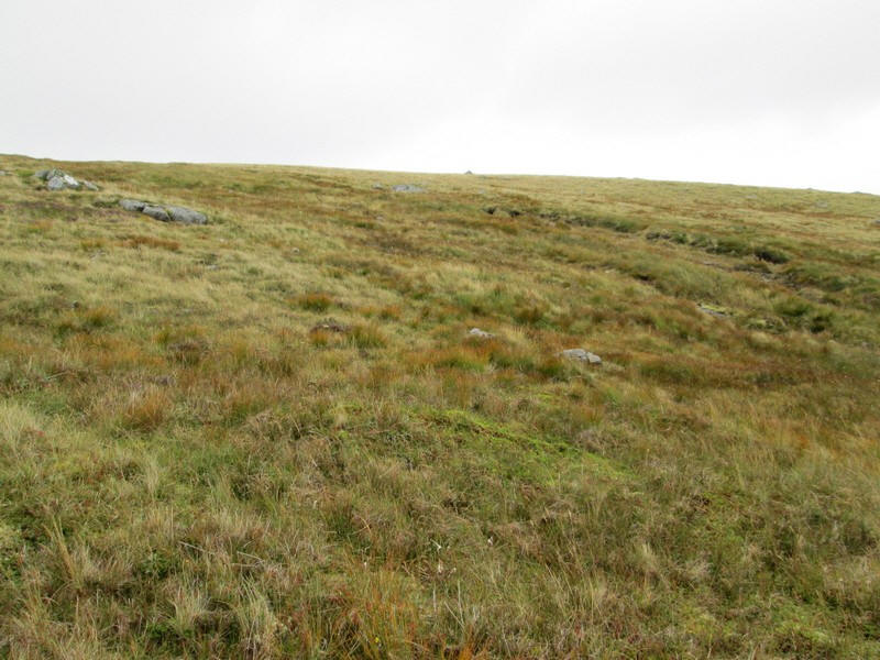
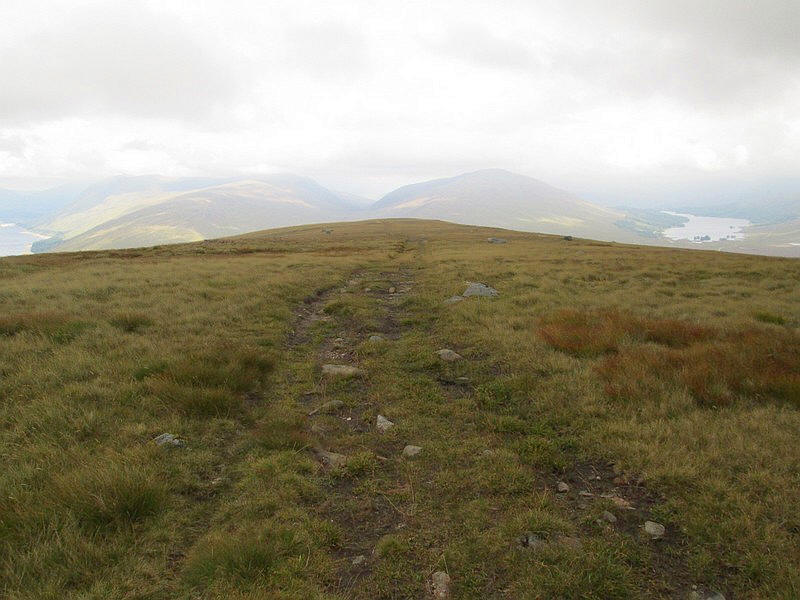
The rough track descends the An Diollaid ridge with Beinn na Lap's summit now clear.
The track splits on the way back to Corrour. I opted to take the right turn which actually leads to a ford and might not have been a good choice in really wet weather. Looking back Leum Uilleim is clear of cloud.
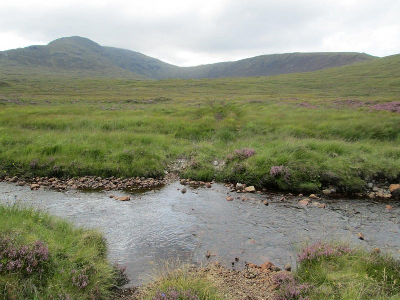
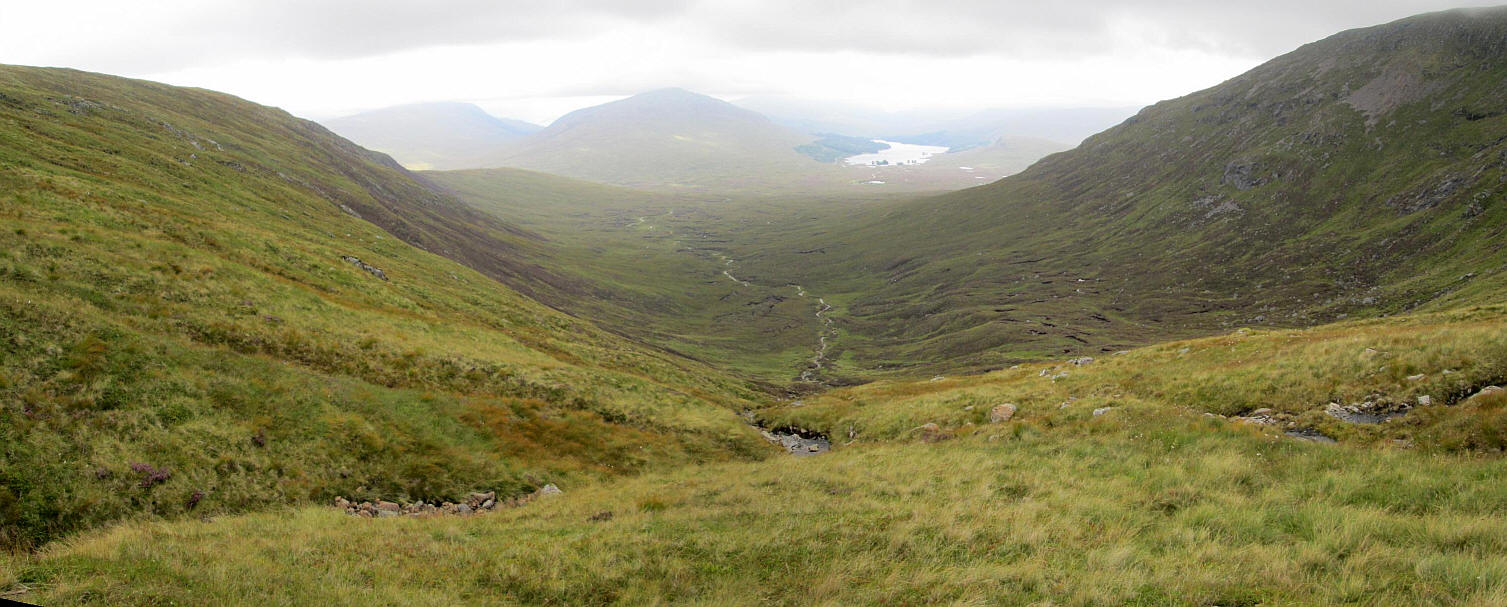
I wasn't too pleased to find I had to ford a stream but the water wasn't deep and my feet stayed dry. The entire circuit of this walk can be seen in this image heading from the ridge on the left over the summit and the top of the corrie and then down the ridge on the right.
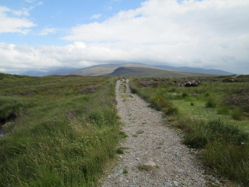
The final section is along a good track....
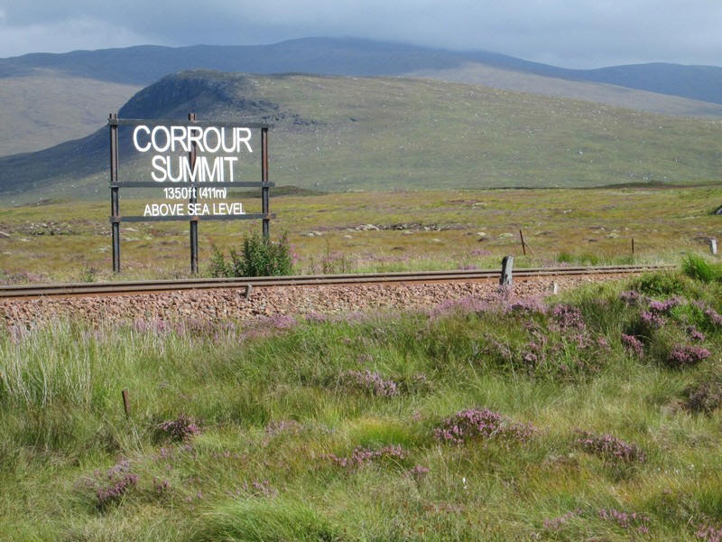
...passing the Corrour Summit sign just outside the station. It is the second highest point on Britain's main line railway network (after Drumochter on the Perth to inverness line).
The whole walk had taken just under five and a half hours. A welcome pot of tea awaited me in the station house.