Lochnagar Round
Cac Carn Beag, Carn a'Choire Bhaidbeach, Carn an t-Sagairt Mor, Cairn Bannoch and Broad Cairn
(June 2010)
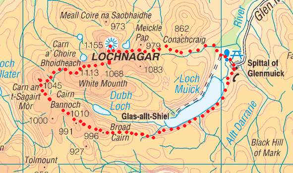
The map below shows the route I took as recorded by my SPOT GPS personal tracker.
View
Lochnagar Munros in a larger map
The plan for the third day walking holiday based in Braemar was to drive to Spittal of Glenmuick and then walk the round of five Munros. The weather was initially rather dull with low cloud. In fact I had no view whatsoever on the climb to Cac Carn Beag (Lochnagar), which was extremely disappointing. However, later in the day conditions improved to give a near perfect afternoon and evening.
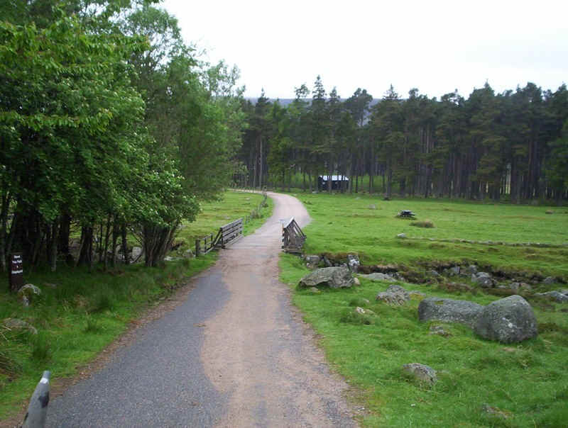
I left Spittal of Glenmuick at 09.15 and headed past the Balmoral Estate's information centre - well worth a quick visit.
The route starts along the estate road across the flat valley floor....
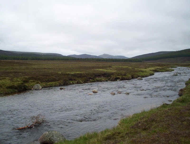
.....before crossing the River Muick.
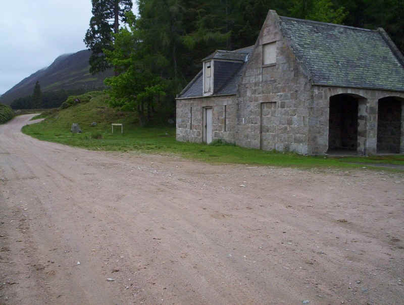
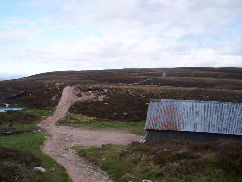
The footpath to Lochnagar is signposted behind this building...
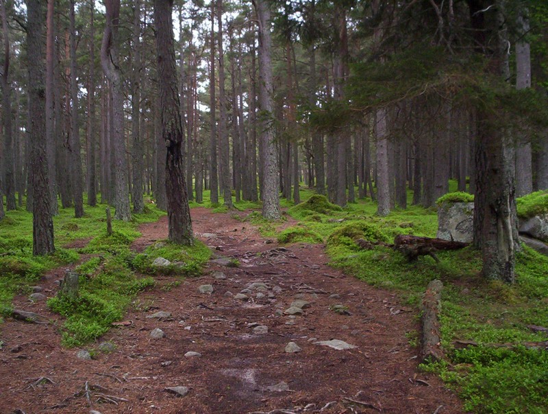
...and heads through forest....
.....to reach and the main estate road across to Easter Balmoral.
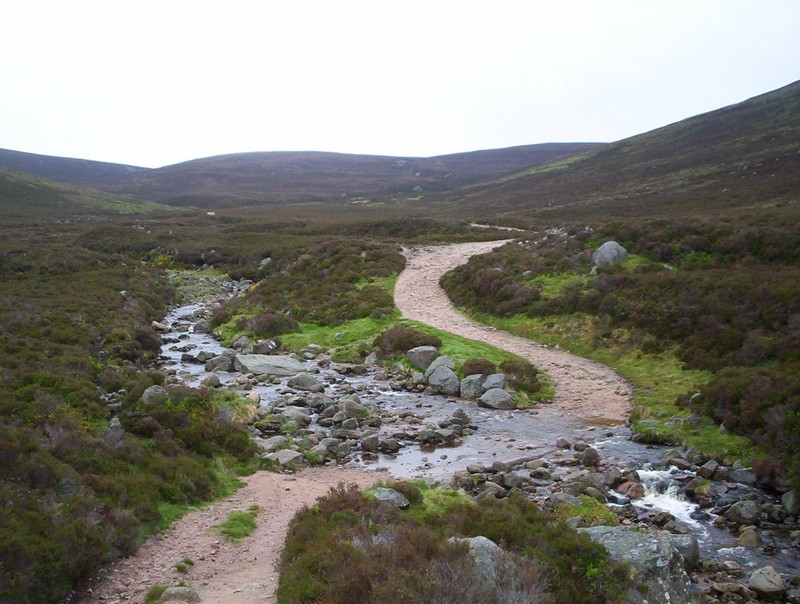
Crossing the Allt na Giubhsaich without getting wet feet was surprisingly difficult, with stones sloping every way but the ones needed by the walker!
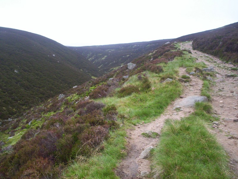
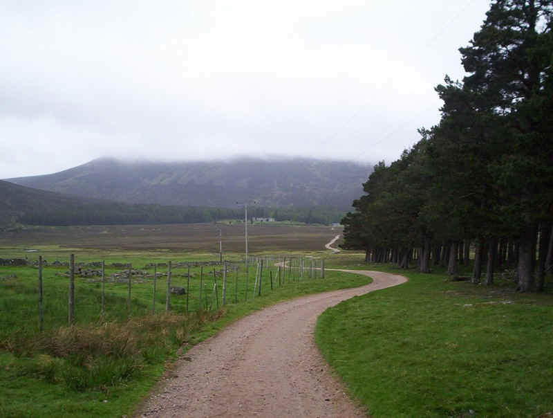
Eventually, dry-shod I continued as the road climbed steadily uphill by the burn.
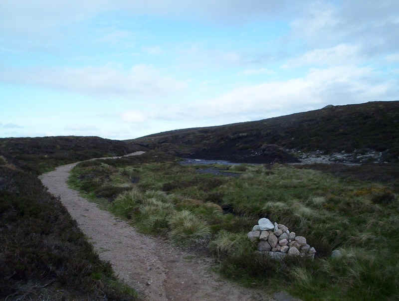
The track to Lochnagar leaves the road at this cairn and....
.....started to climb gently.
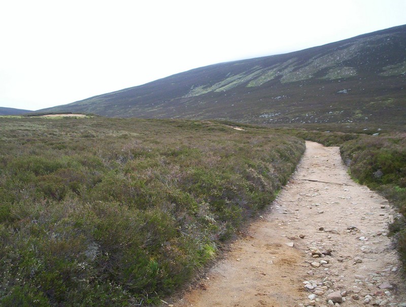
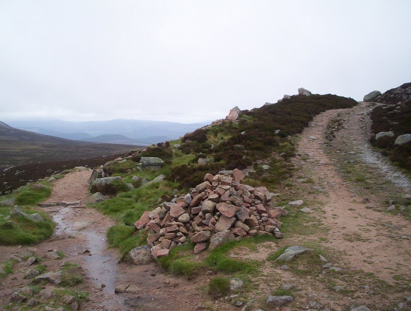
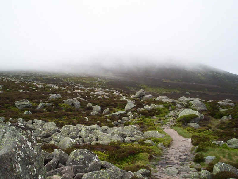
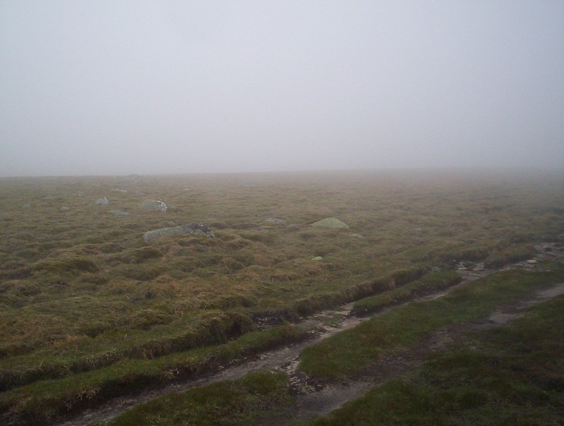
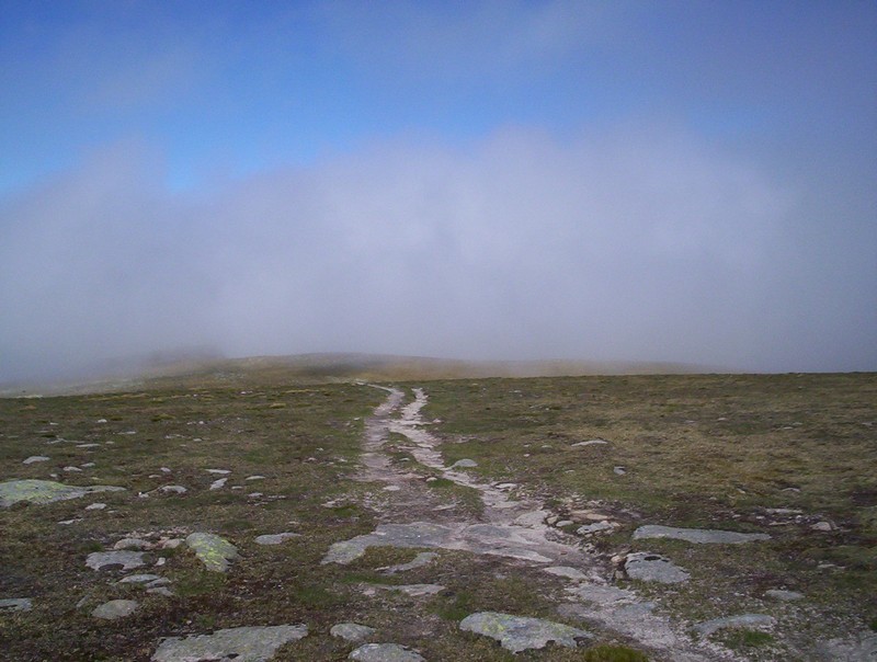
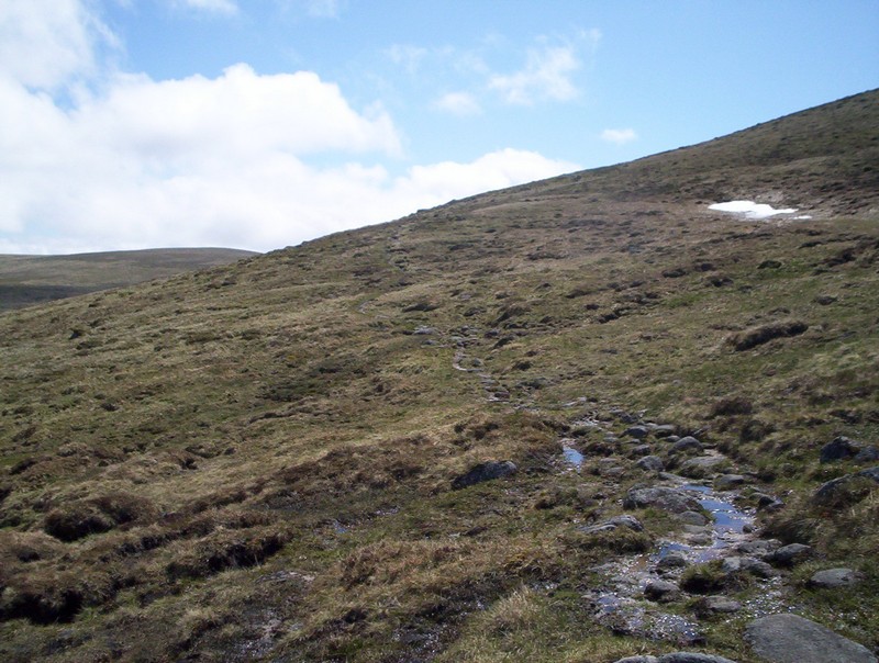
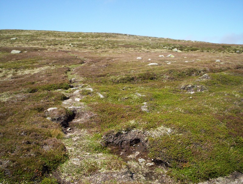
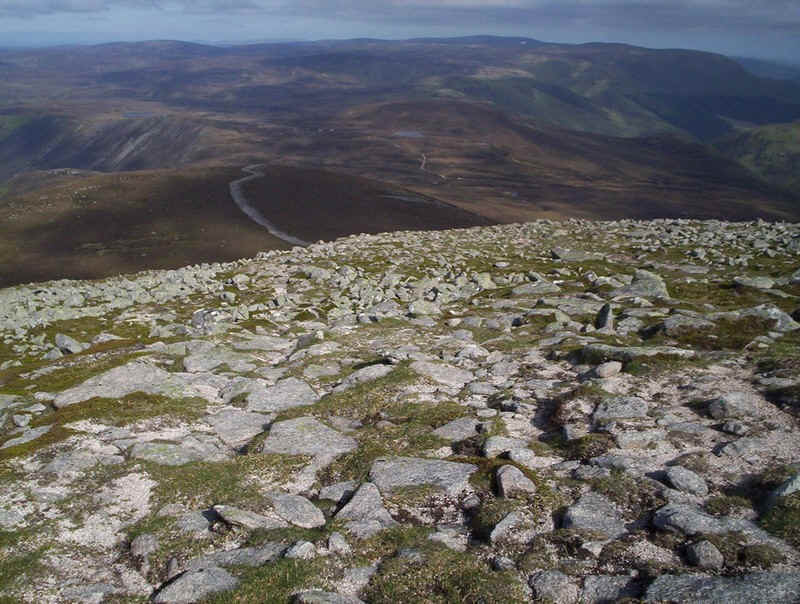
Sadly, for the next two hours I had no views whatsoever but I've included some photos of the path to show what the actual climb is like.
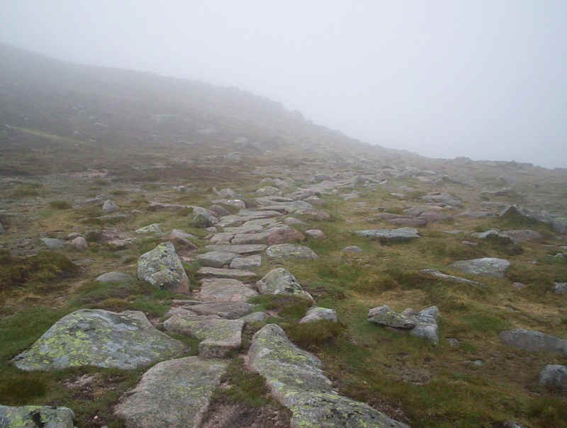
The path becomes paved as it approaches the col between Meikle Pap and the climb onto the high plateau. In front of me, I believe, is the Corrie of Lochnagar...
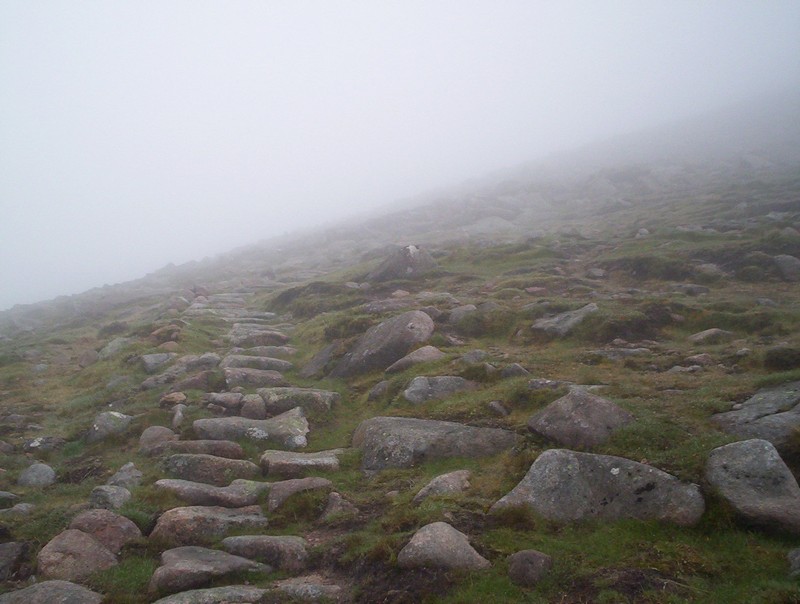
The path now turns and starts the climb in earnest....
.....twisting and turning largely up stone steps with a few slightly harder sections over boulders.....
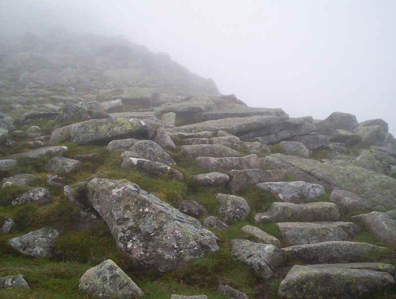
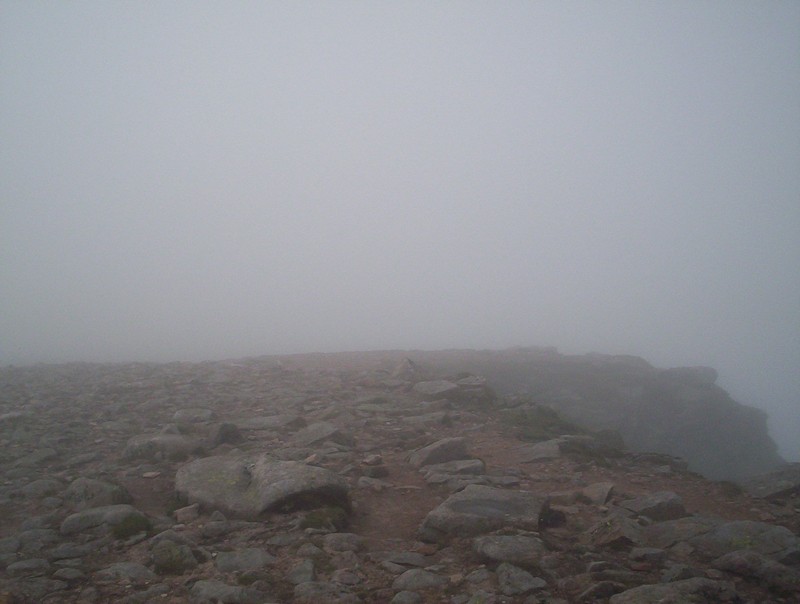
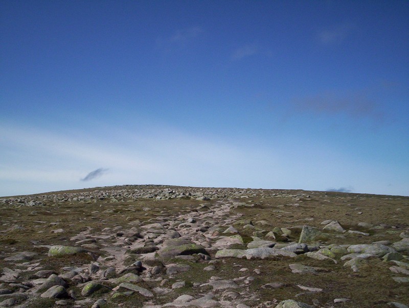
....until it emerges onto a flater section about the 1050 metre contour level.
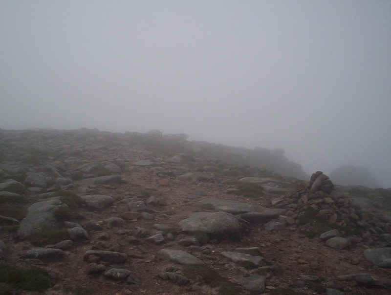
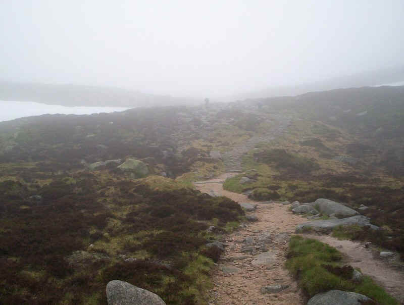
With the hard work largely over I followed the cairned track which runs around the lip of the corrie...
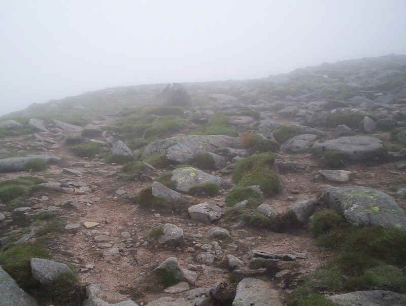
.....with those menacing cliffs just in view and that missing view.
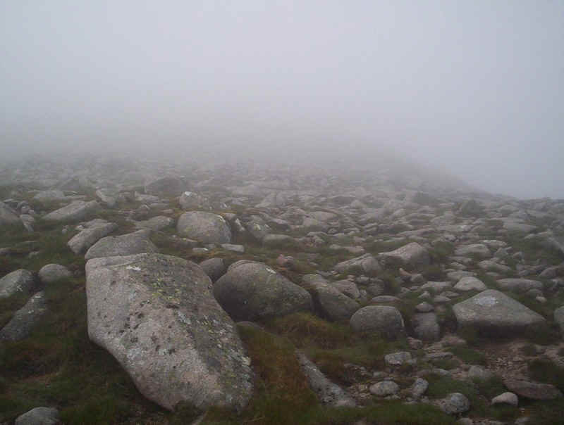
There are more boulders as I head towards Lochnagar's lower summit of Cac Carn Mor. A broad track heads along the ridge as it climbs to...
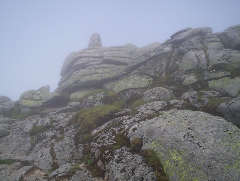
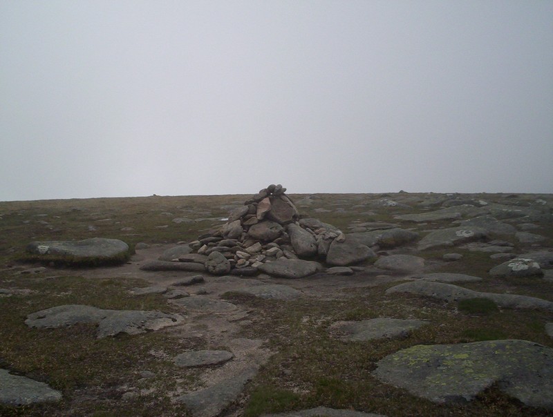
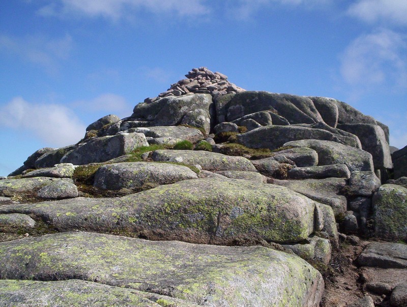
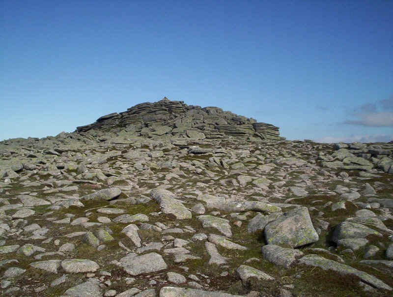
...the summit of Lochnagar at Carn Cac Beag. This is a bit of a shock looming out of the mist with the cairn balanced on top of a tor. Hands are needed to reach the summit...
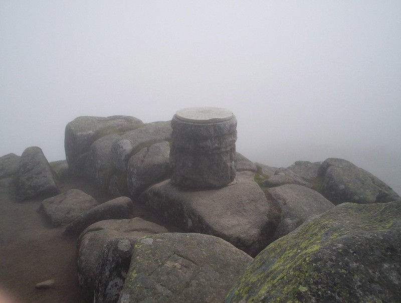
.....and the adjacent view table. Chance would be a fine thing today. Strangely, a few moments later the sun started to shine through the clouds but the mist remained obstinately in place.
The climb had taken just three hours from Spittal of Glenmuick so I decided to have an extended lunch break in the hazy sun chatting to two walkers about the joys of cross country skiing. I'm afraid I don't think they were too impressed by my use of a GPS and SPOt transmitter, claiming it takes all the adventure away.........
Anyway, I left the summit at 13.00 en route for the next Munro.
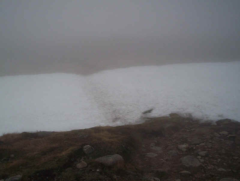
The track drops down into Coire Boidheach with the mist giving this strange optical illusion of an enormous snowfield. In reality it was only a couple of dozen metres across it.
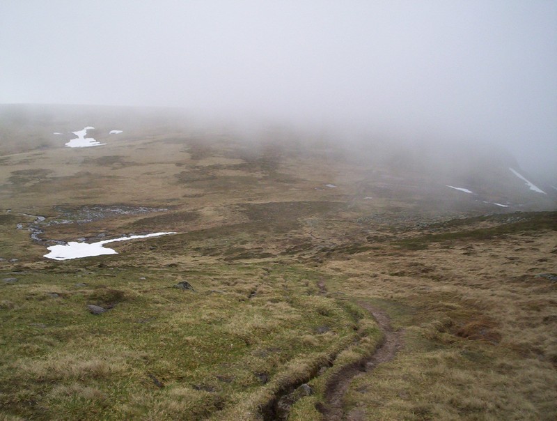
At least the mist was beginning to thin out as the track skirted around the hillside above Loch nan Eun
To reach the next Munro meant leaving the main path at about NO230849 and striking south west across the moor....
.....to reach this cairn, the "summit" of Carn a' Choire Bhoidheach. OK, so it's 1110 metres above sea level but from this side of the hill it's a little difficult to see why it's a separate Munro. No doubt, looking from the north it's status is probably more obvious.
Whilst I was having a drink the sun suddenly burst through the clouds. The "baggers" route was taken back to the main path.

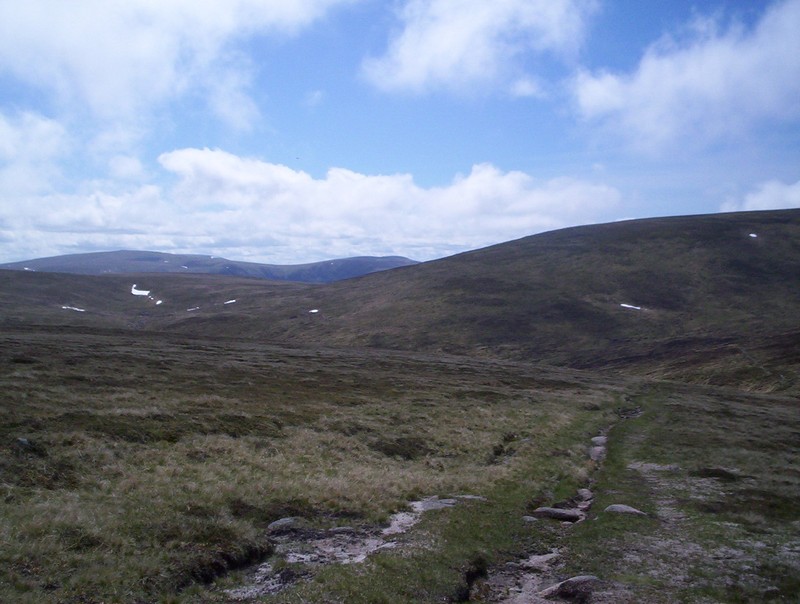
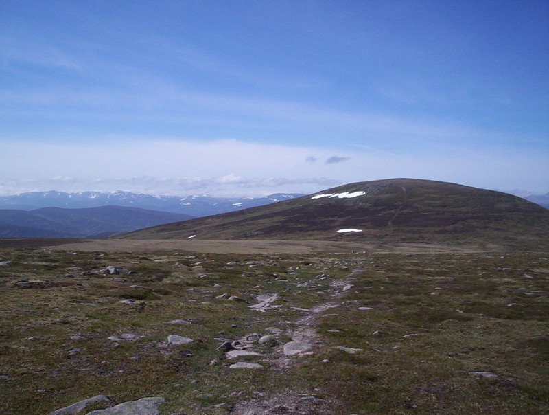
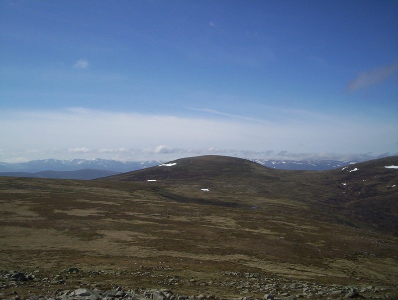
Things were really looking up with visibility improving by the minute as I headed downhill with Munro No. 3, Carn an t-Sagairt Mor visible in the centre of the photo.
The path drops down to a burn....
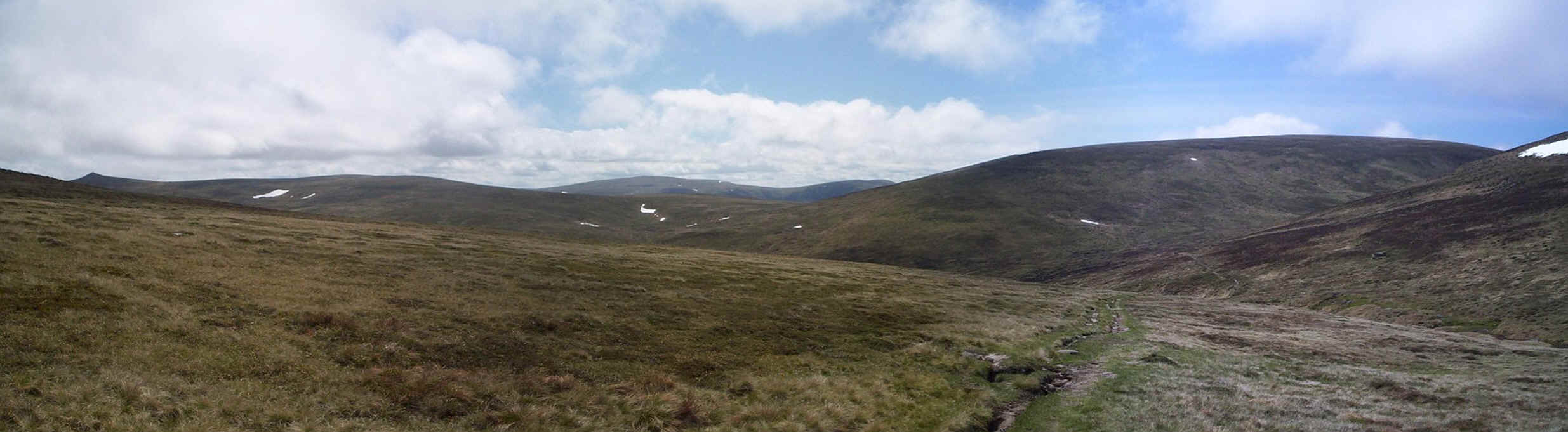
....and a panorama opens up of the later stage of the route across Cairn Bannoch (above the path) and the pointed summit of Broad Cairn on the far left. Click on the photo for a larger image.

The path drops down to cross the Allt an Da Charaobh Bheath. Note the snowbridge over the stream still there in mid June.
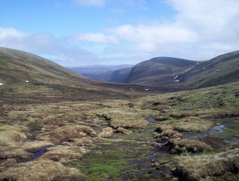
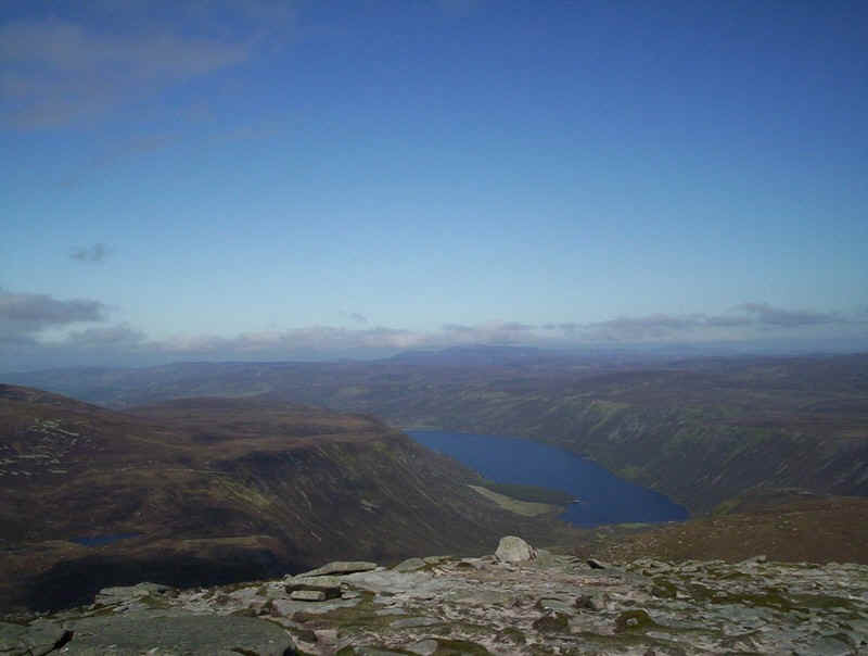
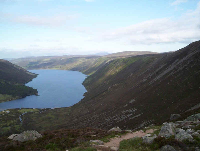
Over to the south-west this marvellous view opens up with the long glacial trench leading down to Dubh Lock and beyond Loch Muick
A gentle climb now starts as the path skirts the shoulder of Carn an t-Sagairt Mor.
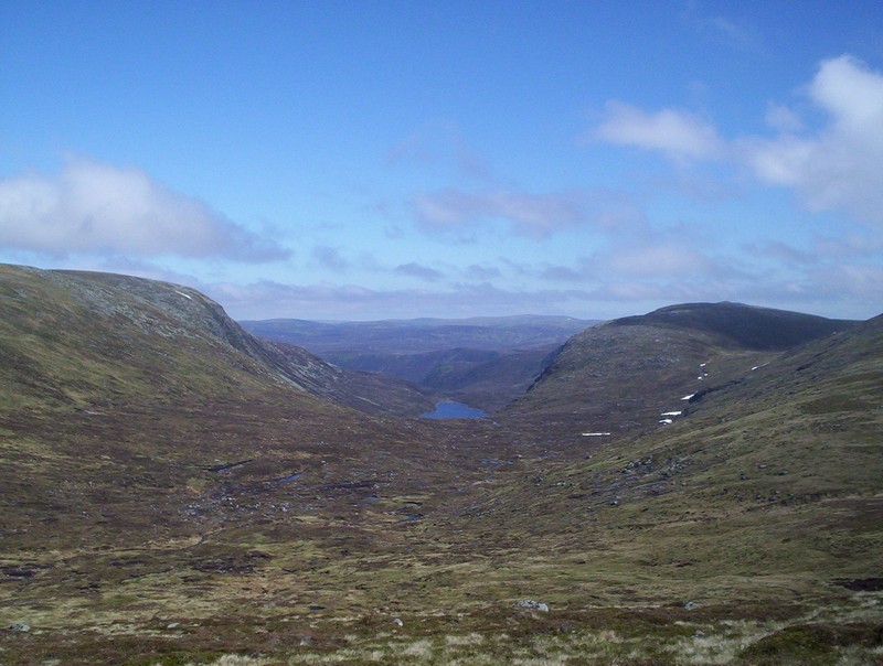
Higher up Dubh Loch comes into view, and byond much deeper down the valley that contains Loch Muick.
As the path begins to drop...
......the track up Carn an t-Sagairt Mor branches off....
.....heading quite easily to the stony summit plateau...
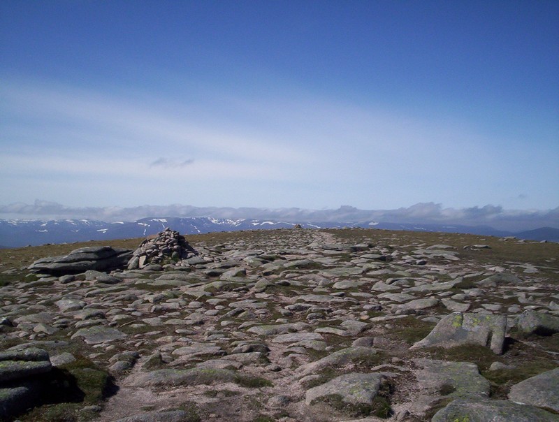
....with its cairns.
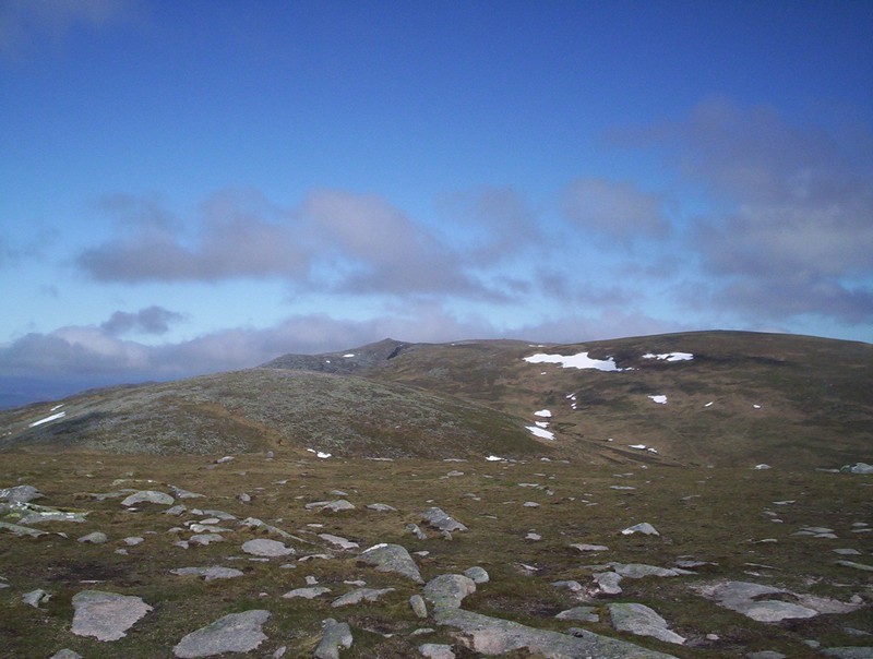
At last I can see the summit of Lochnagar....
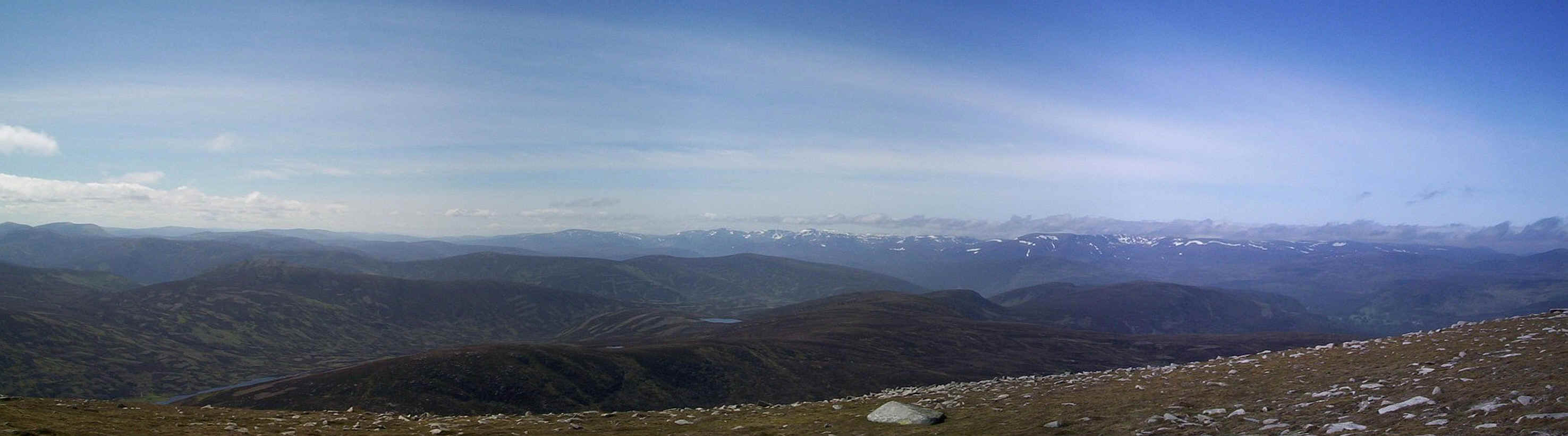
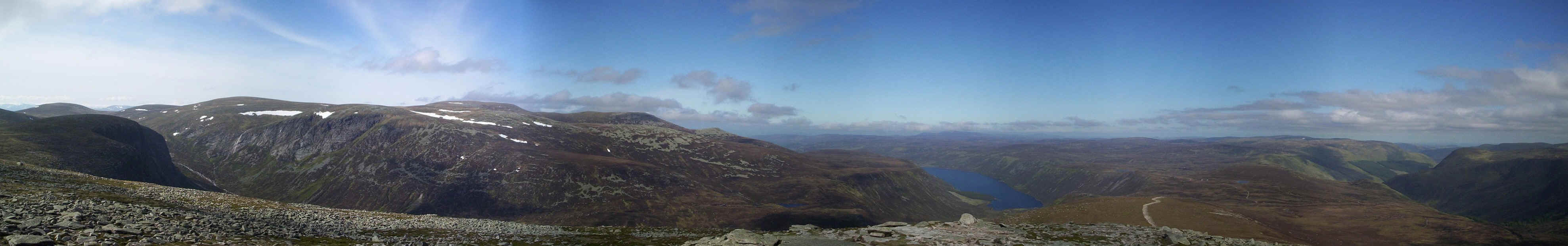
.....whilst in the distance is this marvellous panorma of the high Cairngorms. Click on the image for a larger photo.
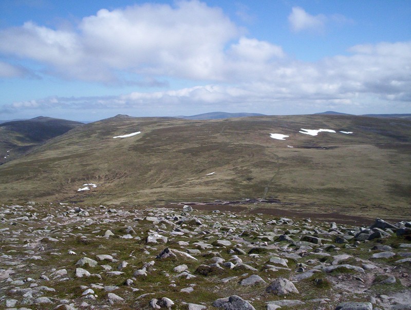
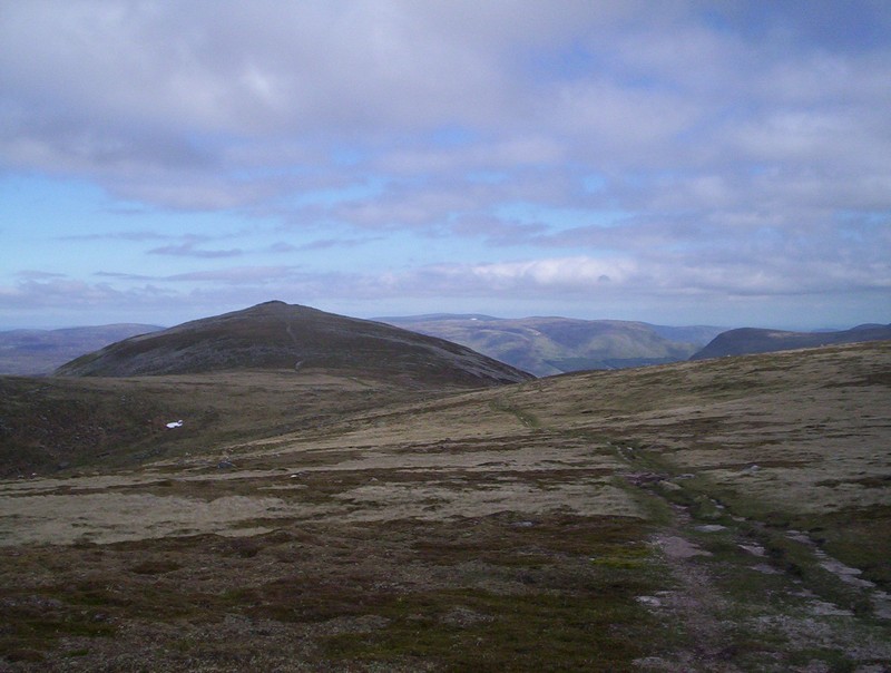
Dropping down off Carn an t-Sagairt Mor the clear track to Cairn Bannoch can be seen.
Further on this is the view back to Carn an t-Sagairt Mor.
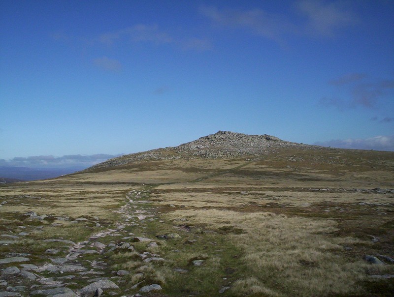
Cairn Bannoch is another relatively low summit, which no doubt looks more impressive from another direction. Nevertheless it's Munro No. 4 of the day.
Its cairn since on another tor.
Another view looking back towards Carn an t-Sagairt Mor and the Cairngorms.
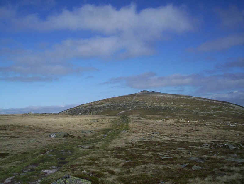
The final Munro of the day is Broad Cairn reached over easy paths...
....mainly on grass...
.....until the final rocky summit with yet another cairn on top opf a tor. It was now 17.00 and, whilst I was a little bit later than expected - remember me wasting time lazing about on Lochnagar? - the temptation to sit, eat a sandwich and look at the view was.....
......simply too much
A 180 degree panorama from Broad Cairn
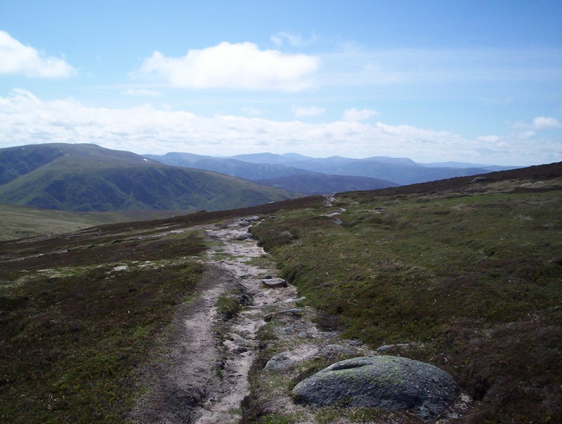
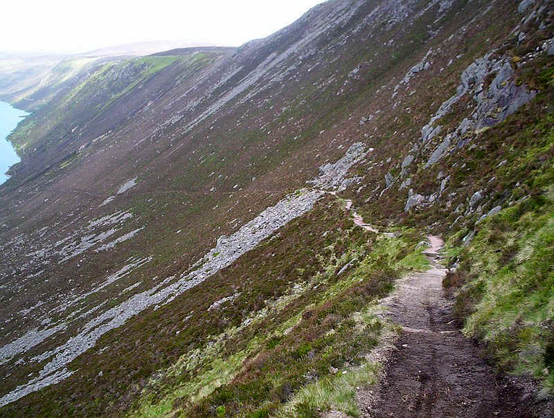
It was now time to head off down hill in an attempt to get back early enough to have dinner in my hotel in Braemar. It's a long way back from here to Spittal of Glenmuick! The path drops quite steeply over rough stony ground to reach the estate track seen below.
From here there's a choice of routes; the high level vehicle track or the loch side path.
This is the beginning of the path down to the loch and it was clearly well looked after.
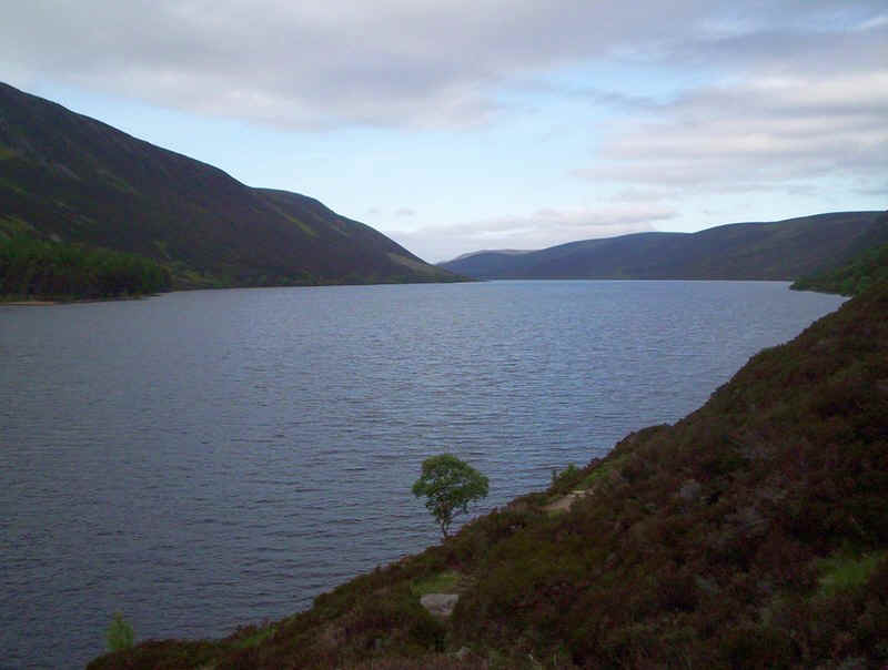
The path suddenly reaches the edge of the valley and this incredible view opens up; it's a long way back and you can't even see the end of the loch.
The path is almost like one in the Swiss Alps, well engineered and cared for and drops you down to the loch side at a surprisingly gentle angle.
Once down near the loch the path rises and falls considerably, sometimes almost at water level and other times well above.
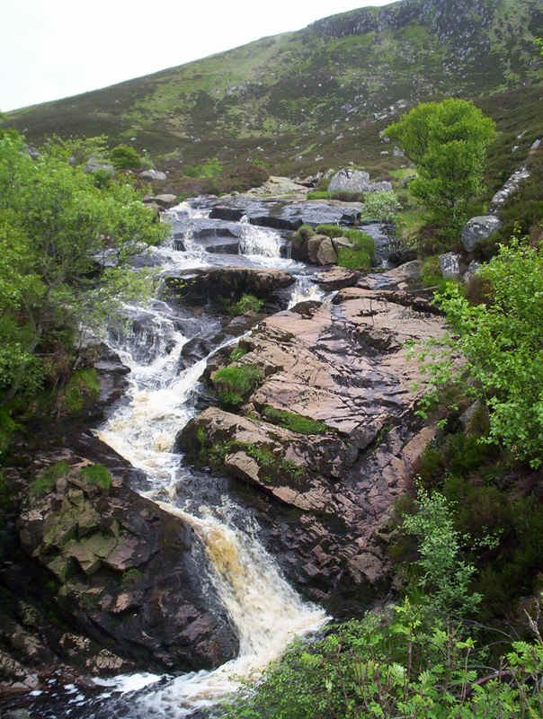
At a bridge where this waterfall can be seen the path turns into a vehicle track and the pace can increase.
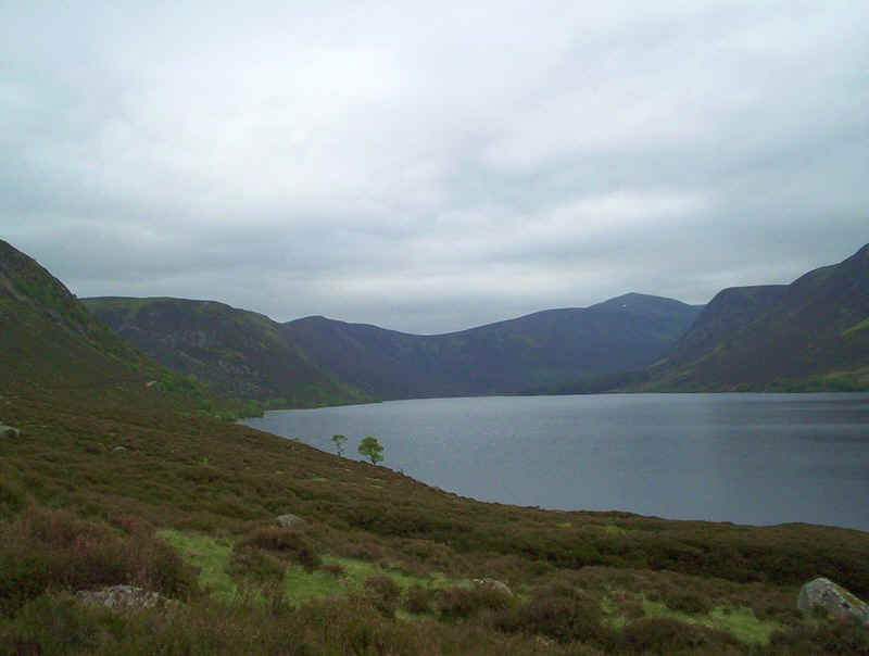
A final look back up the valley towards Lochnagar.
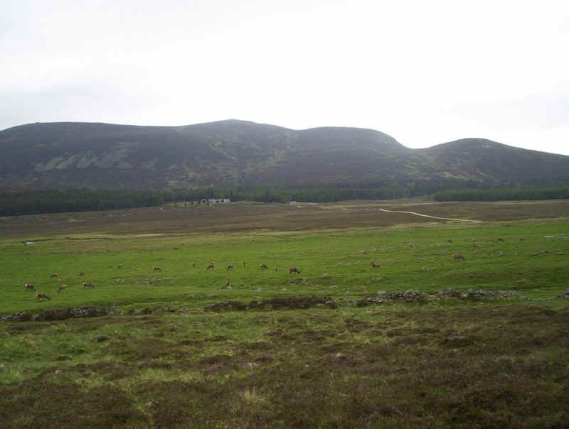
To my delight the fields around Spittal of Glenmuick were full of deer contentedly grazing in the evening light. I was back at the car park just after quarter past seven having taken about ten hours of relatively unhurried walking. A great day but what a pity I had no views on Lochnagar.....