Maol Chean-dearg
(933m)
Normally, Maol Chean-dearg is climbed from Coulags on the A896, but I made life harder for myself by starting the walk at Strathcarron adding another 6 miles to the round walk. In total it is 15 miles with about 970 metres of ascent.
I had already attempted this walk in September 2013, but terrible weather conditions both before and during the walk made crossing one of the burns dangerous to cross without wading through it with water well over my knees.
A year later weather conditions were much better.
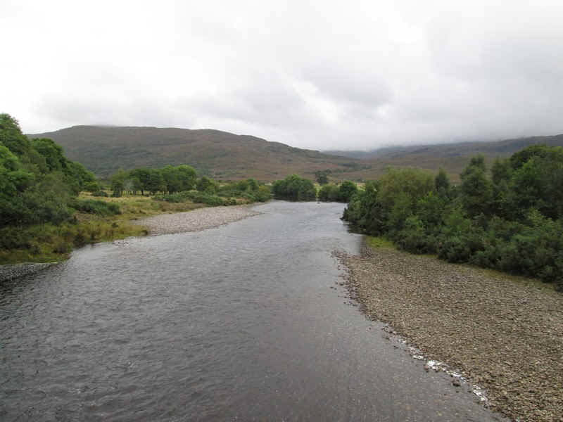
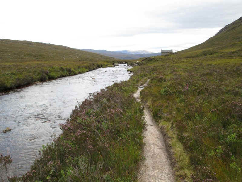
Leaving the Strathcarron Hotel the River Carron is crossed....
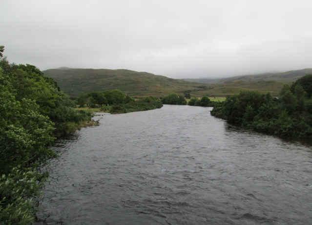
....and it is interesting to contrast river levels with 2013.
It might actually be slightly quicker to walk to Coulags along the road but the riverside path is certainly much pleasanter..
...and parallels the water...
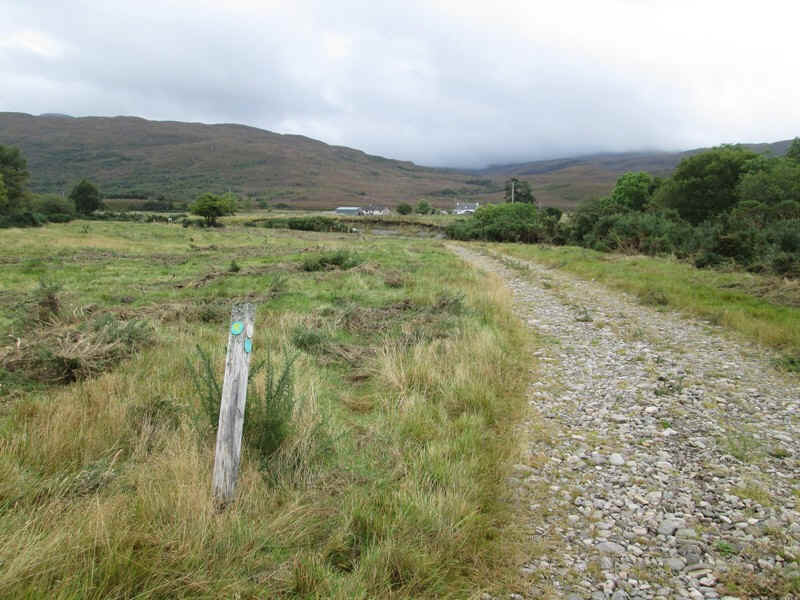
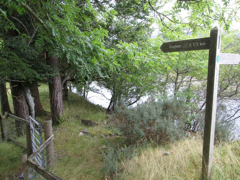
...before joining a farm track. The path is way marked the entire way to Coulags.
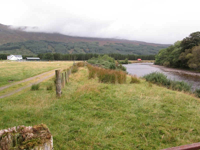
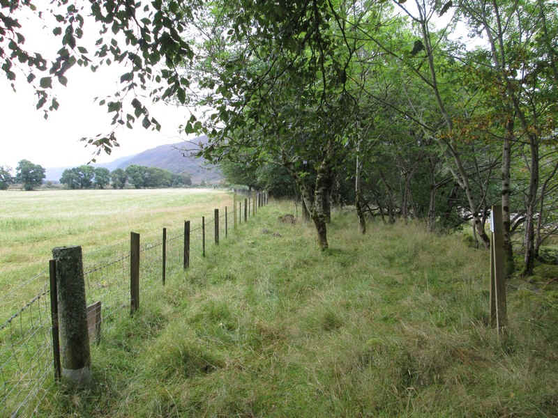
In places the path runs between a fence and the river but it's far easier to keep to the vehicle track that parallels it.
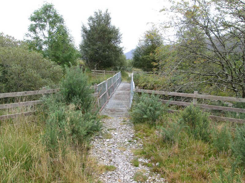
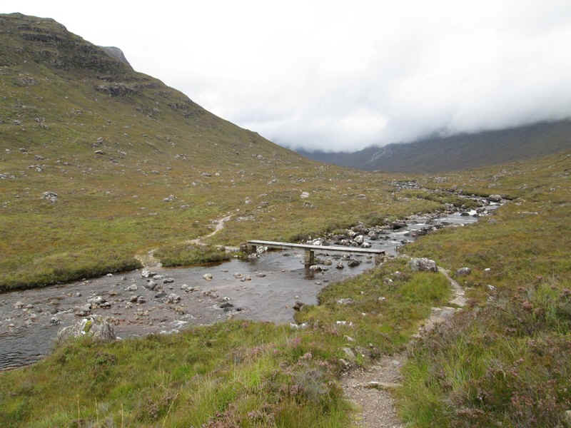
There's a ford across a stream for the road but a solid bridge for the footpath.
For about half a mile the track winds through woods to...
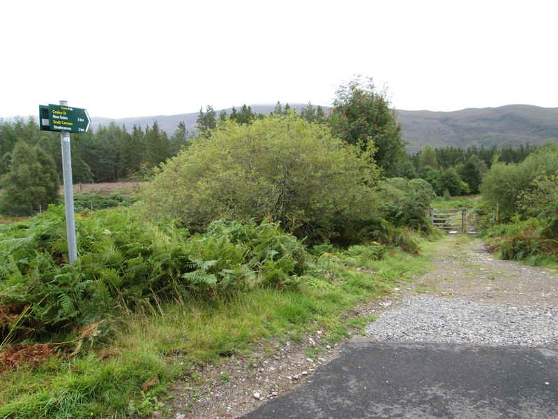
...emerge through a deer fence at the main road. The path is obviously well signposted.
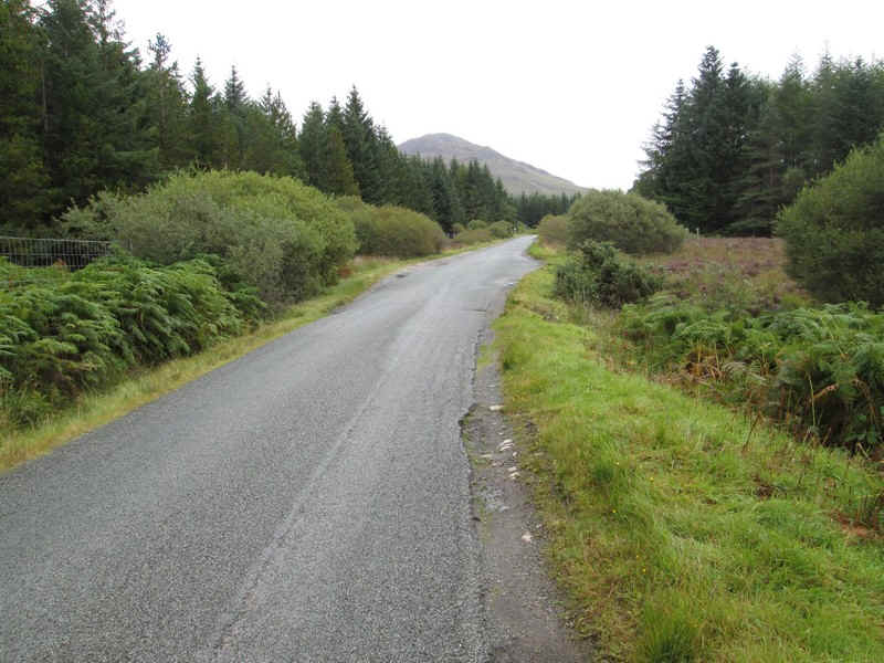
There is a short section along the main road to...
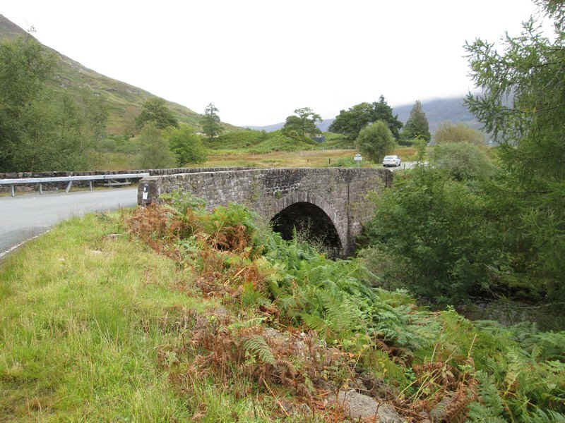
...the bridge at Coulags.
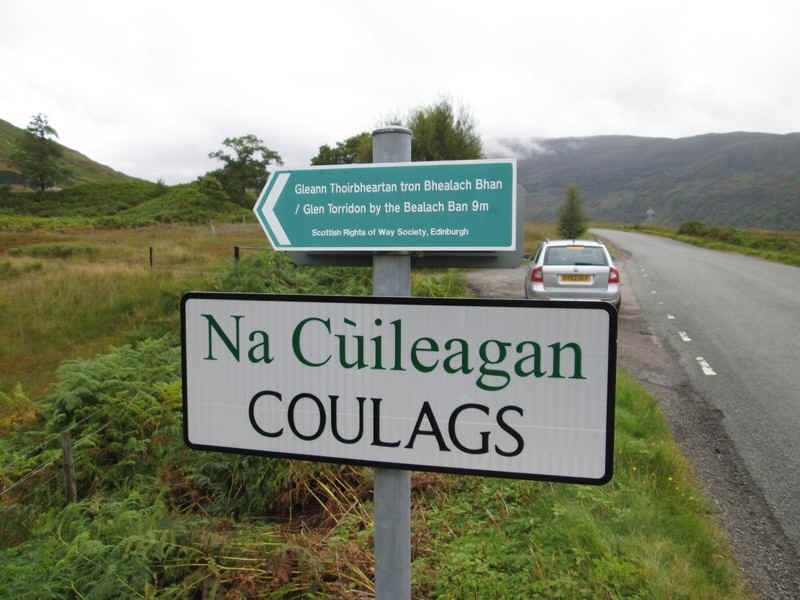
The way to the hills is along the path to Glen Torridon....
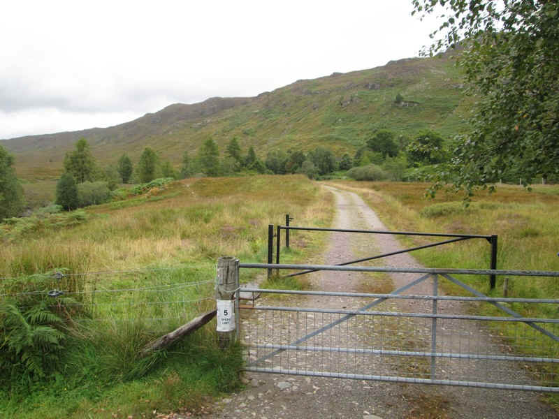
...which starts up a farm track...
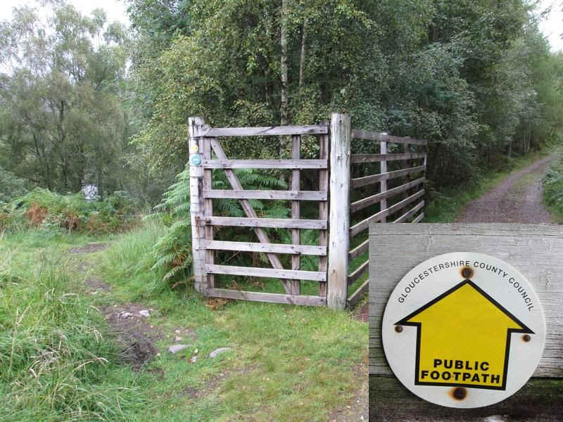
...before branching off at this fence. Now how did the Gloucestershire County Council footpath sign get here?!!!
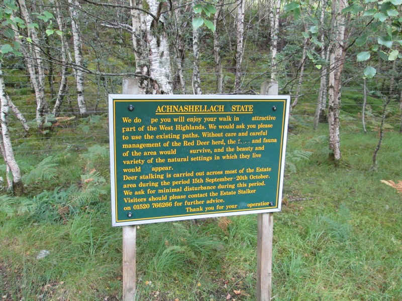
The Achnashellach Estate manages all the land in this area and this sign gives advice about stalking dates.
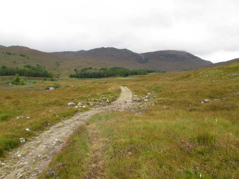
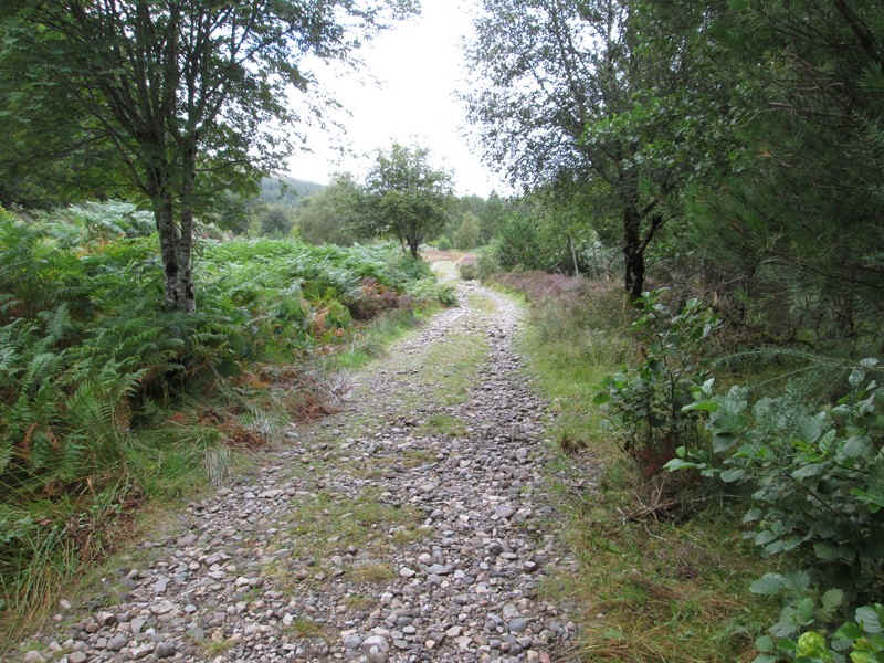
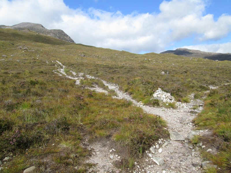
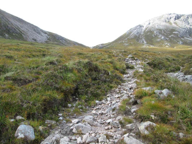
The path forward is in excellent condition and allows good time to be made.
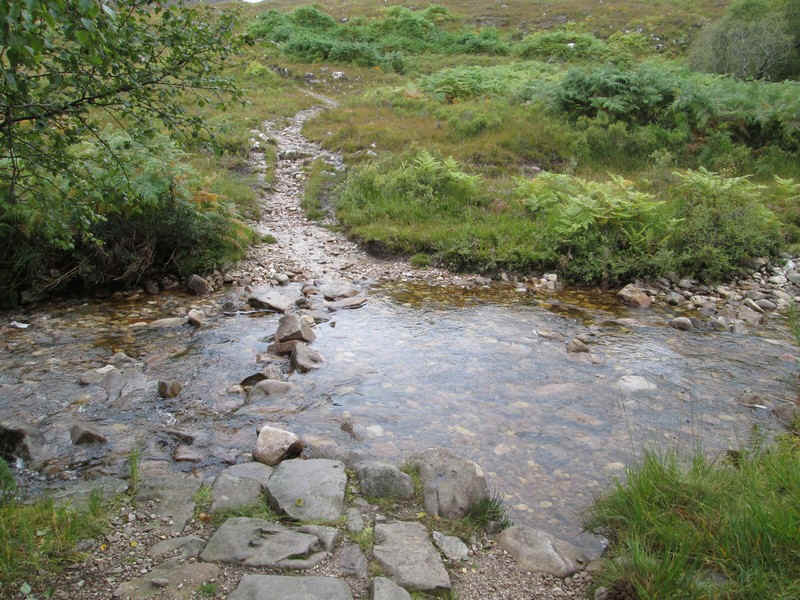
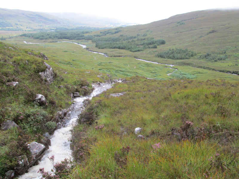
The stream where I was stopped by the raging torrent last year was lat a much more normal level in 2014.
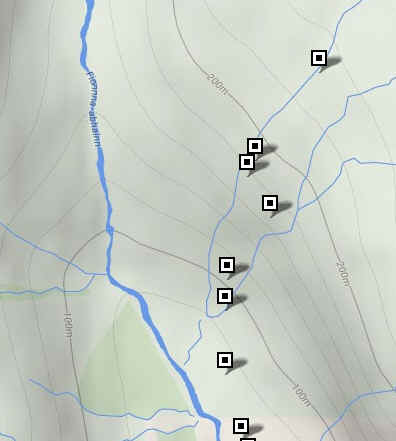
In September 2013, rather than give up my attempt I decided to see if I could safely cross the burn higher up. I don't give up easily! As can be seen from my SPOT GPS track, I managed to cross one arm of the burn and then climbed nearly 160m before realising that it wasn't going to be possible to cross the second arm. At about 200m the water was cascading across sloping slabs of rocks and it was impossible to cross safely.
A 2013 view looking downhill after I'd crossed the first arm of the burn.
|
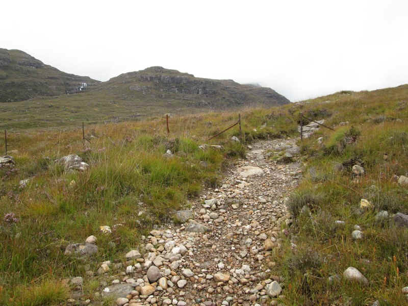
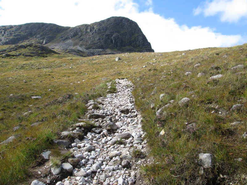
Back to 2014: about the only landmark in this section of the walk is the remnant of a fence.
The path drops to cross the Fionn-abhain at this bridge.
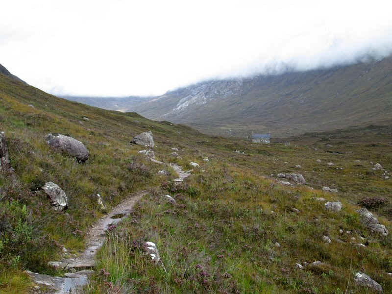
The estate has a bothy a little further up the glen which is also looked after by the MBA and was open and very tidy.
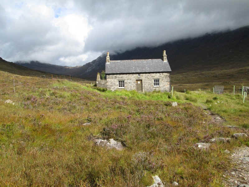
Just at the right moment the sun came out to brighten up the glen.
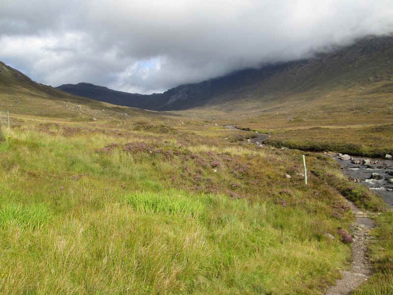
Beyond the bothy the path runs along the river bank, with a few slightly damp sections to negotiate.
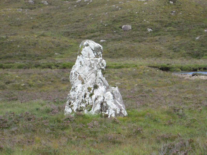
This eratic rock the Clach nan Con-fionn is supposed to vaguely resemble The Sphinx ....mmmm.
The hill track to Bealach a Choire Ghairbh leaves the Torridon path at a small cairn...
...and climbs zigzagging steadily up hill gaining 400m before the bealach.
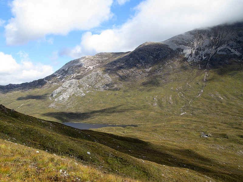
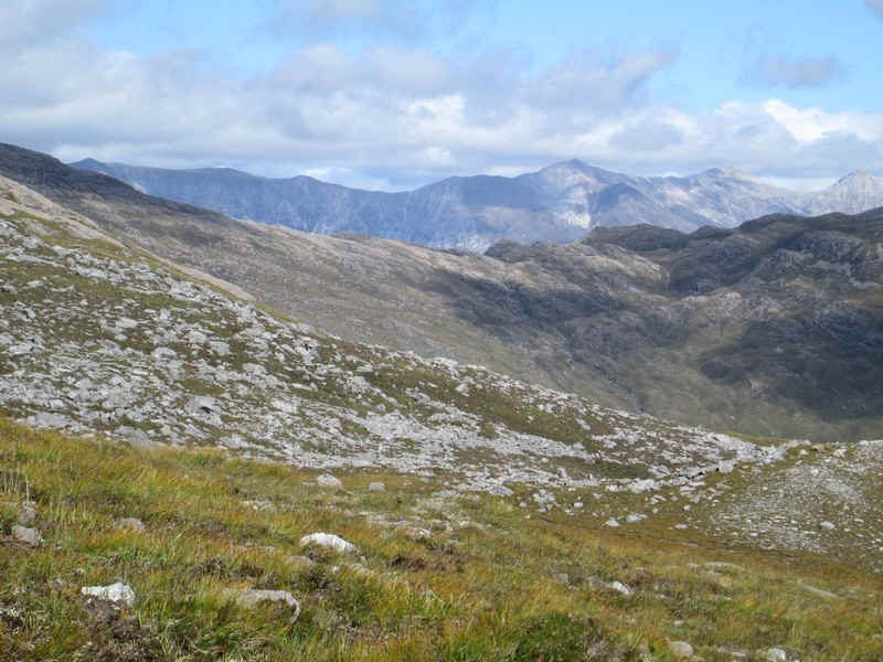
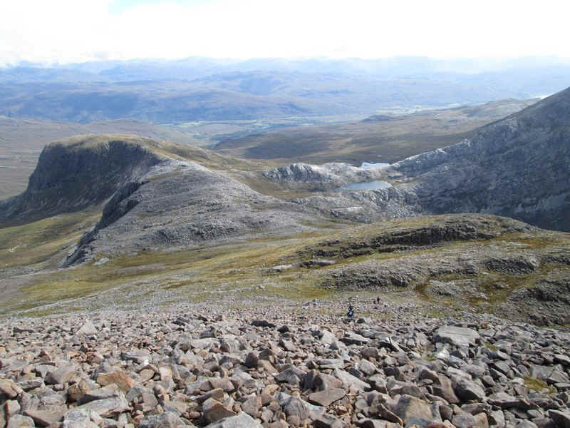
As I climbed the weather improved. This is Loch Coire Fionnairaich with the cloud covered Munro Sgorr Ruadh above.
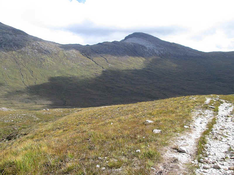
Looking back is the Corbett Fuar Tholl
As I climbed the summit of Sgorr Ruadh became clear of cloud. It was obviously going to be a good day.
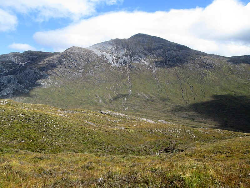
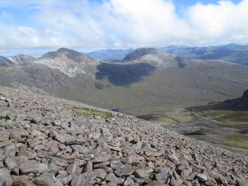
The path to the bealach twists about quite a bit and over to the north west is the Maol Chean-dearg on the right and its long south eastern ridge to the left. In between is the corrie of Coire Garbh.
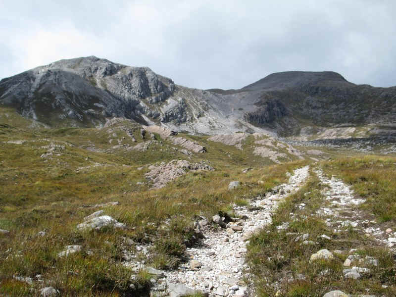
Eventually, the path swings round to head straight up to the bealach....
The Beinn Eighe ridge above Glen Torridon appears in the distance.
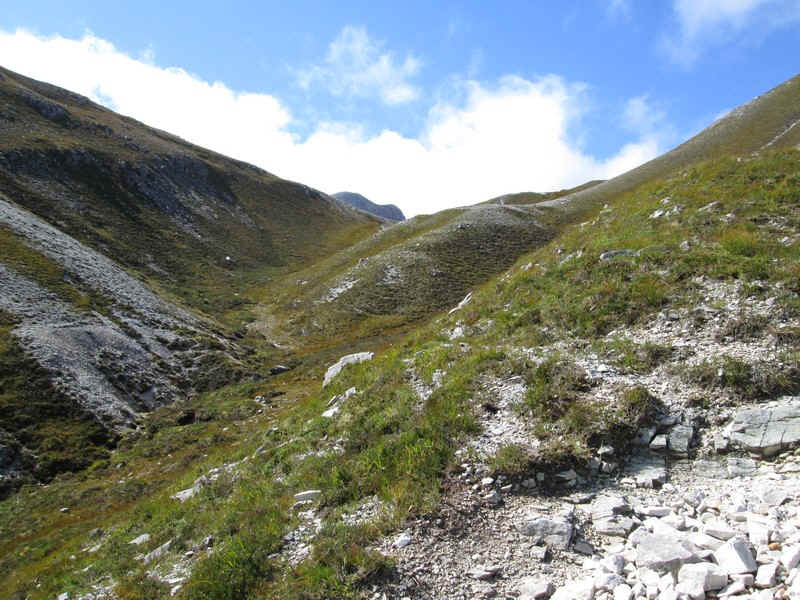
The path enters a small valley as it climbs the last few feet to the bealach.
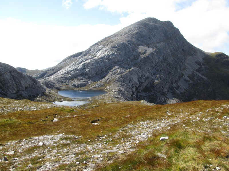
This is the awe-inspiring and almost overwhelming sight that greets you at the bealach. An Ruadh Stac (only 892m and only a Corbett!!) looks utterly impregnable from here. Having seen photos taken on the hill's ascent it is certainly a much more challenging climb than the Munro.
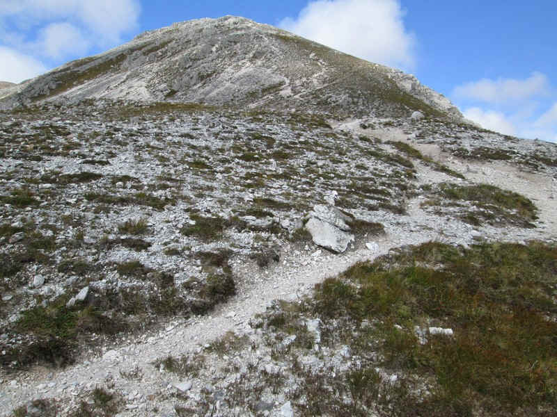
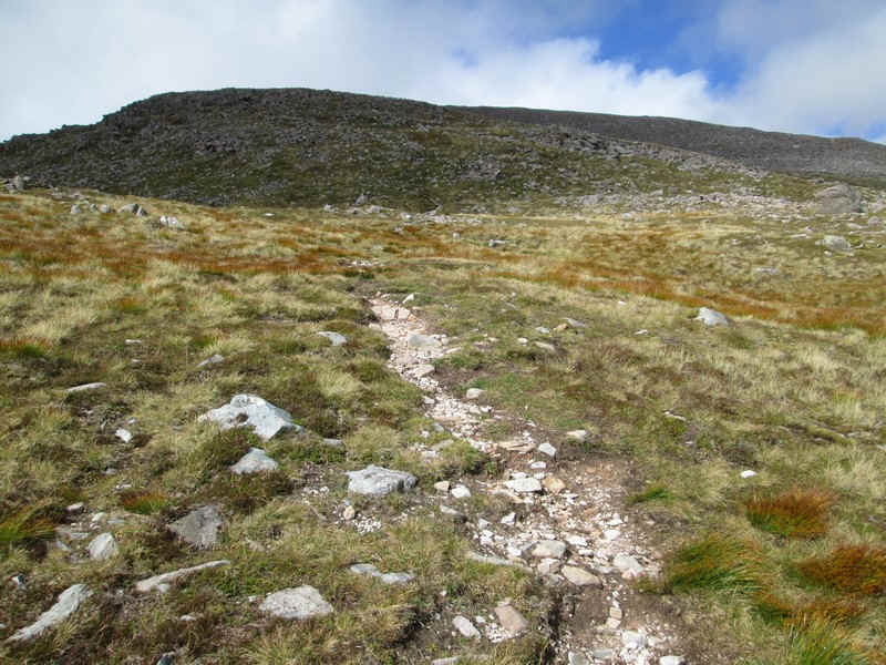
The path to Maol Chean-dearg is much less intimidating but is also very heavily eroded in places and requires some care, especially in descent.
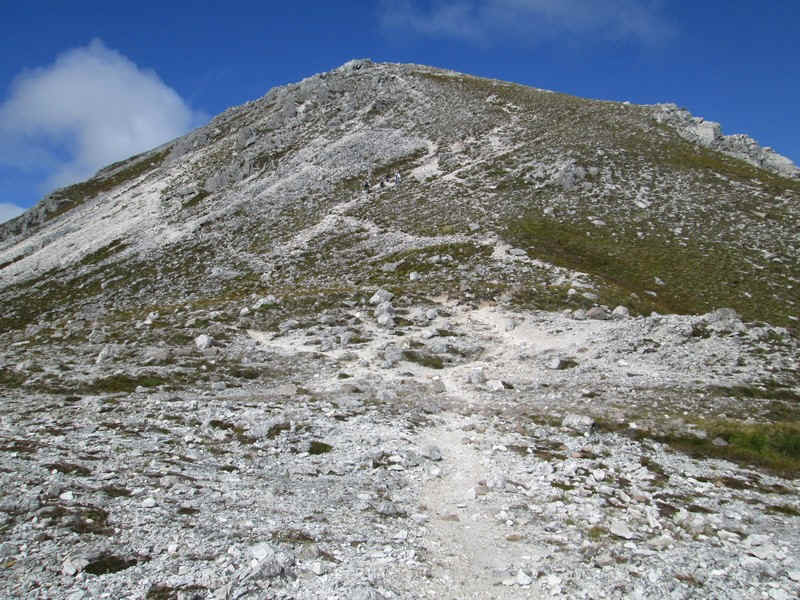
The impression of the lower part of the hill is of its whiteness - from its quartzite rock.
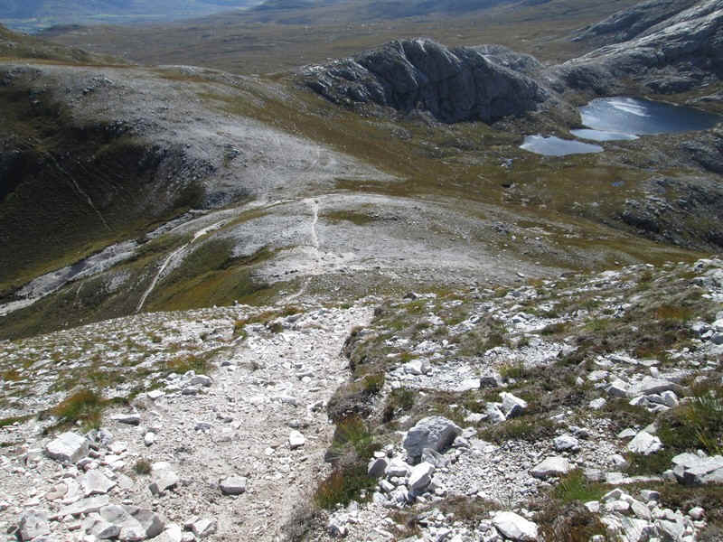
Looking back downhill to the bealach and Loch a' Mhadaidh
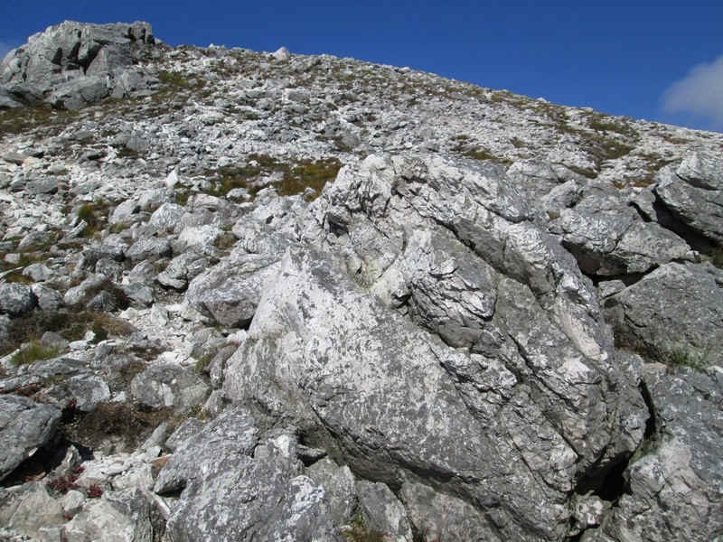
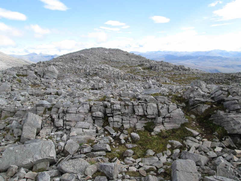
The overriding impression of this hill is of its rockiness, which makes for quite slow progress.
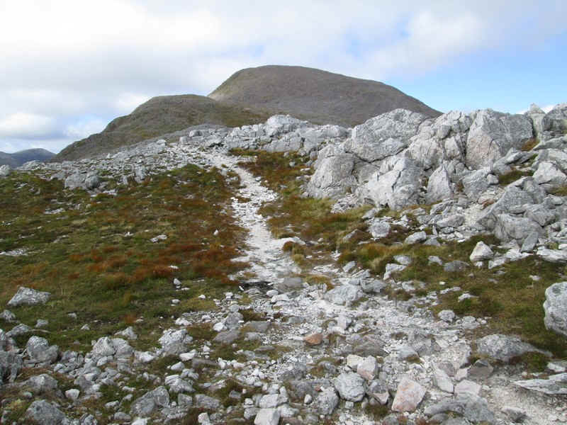
There are odd patches of greenery as the ridge's gradient eases and the summit dome comes into view made up of brown sandstone boulders.
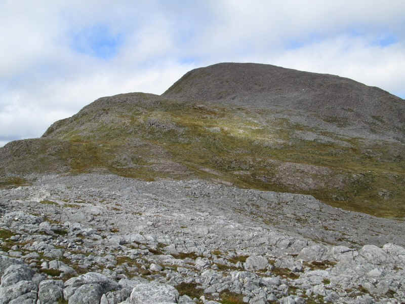
After passing the 757m spot height summit the ridge drops slightly....
...before the intermittent path tackles the ...
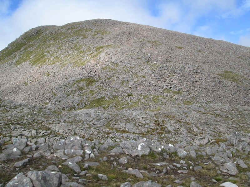
....final pull up towards the summit over the sandstone.
Another view looking back down the ridge.
The track frequently disappears over the stones and, by this stage of the walk, I was definitely thinking that not being able to climb this hill in 2013 was a blessing in disguise. The views were almost perfect and the thought of this walk in heavy rain, cloud and wind is not appealing.
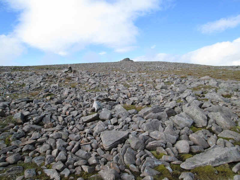
The summit shelter come into view...
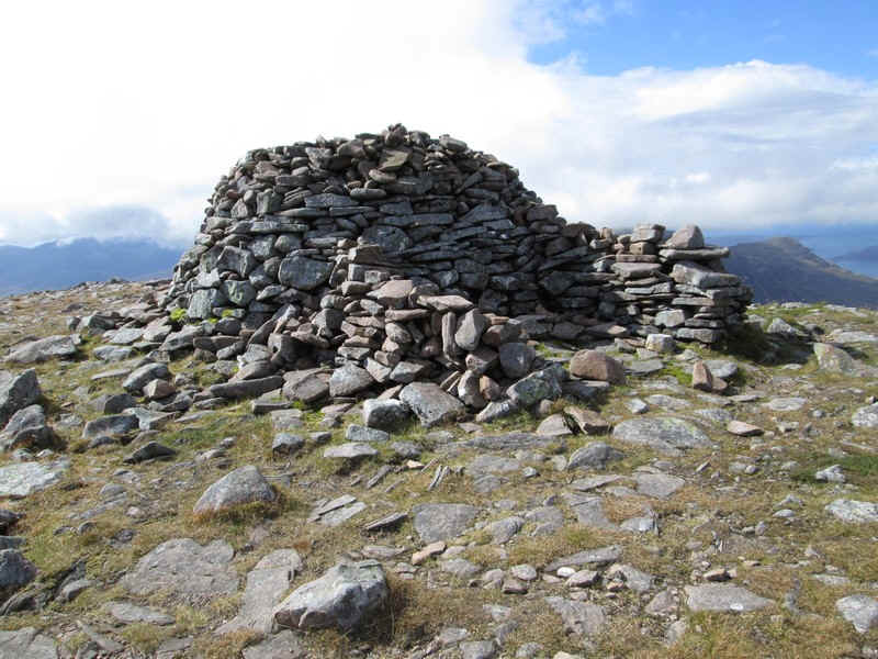
...and is a substantial one with several windbreak sections. The walk from Coulags had taken exactly four hours of which about half an hour had been taken up with drink and snack breaks and chatting to other walkers.
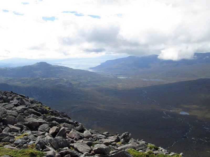
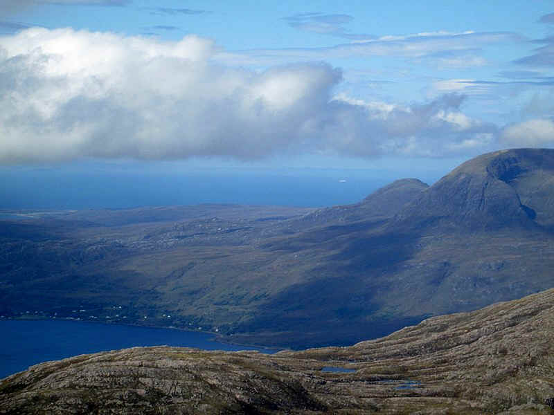
The views were good although cloud obscured views towards the mountains on Skye. This is Loch Kishorn with the Plockton area on the left and in the distance the low lying area of Skye around Broadford.
To the north is Upper Loch Torridon and in the distance on the horizon are the islands of Harris and Lewsi
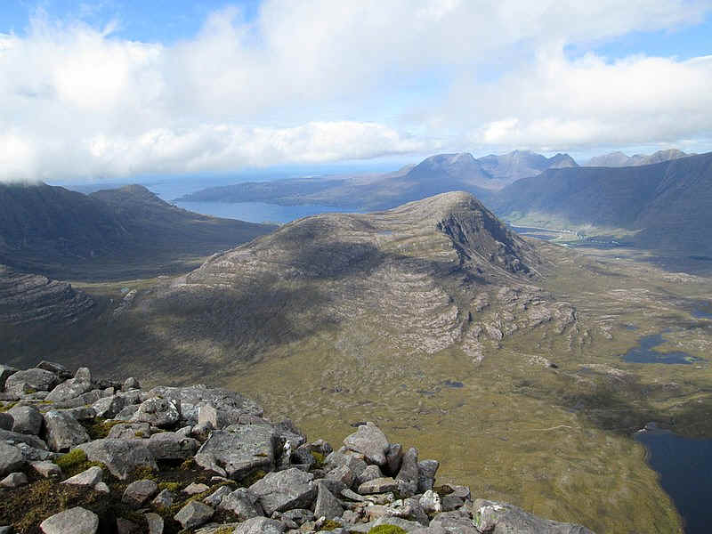
Looking over the Beinn Damh forest with Loch an Eion on the right.
Looking across Loch an Eion, to Glen Torridon and Liathach with its pinnacles in the centre of the photo.
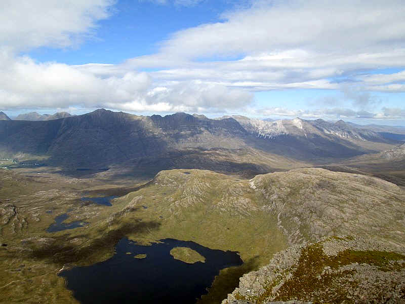
Over to the east, in the centre of the photo, is Beinn Liath Mhor and to the right Sgorr Ruadh
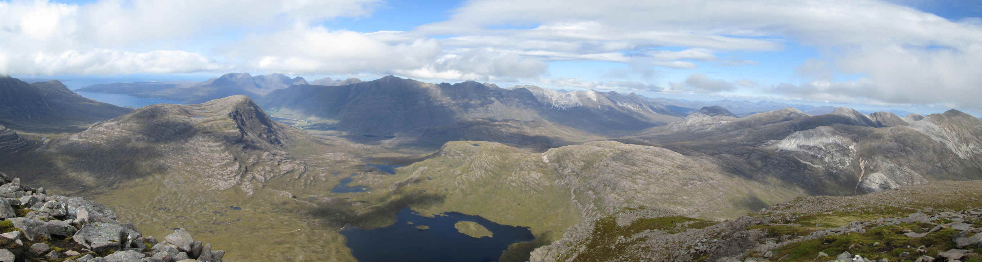
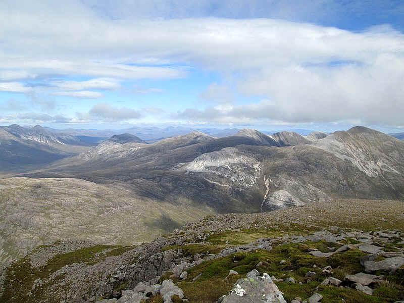
Click on the image above to see a panorama made up of the three photographs above.
The return walk served to emphasise the rockiness of this hill...
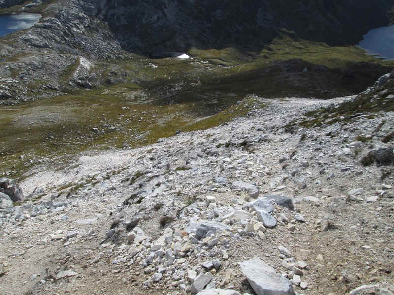
....and lower down the seriously eroded multiple paths above the bealach necessitated a careful descent over the scree.
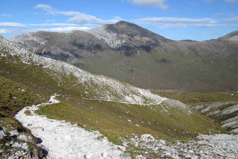
Lower down on the main stalkers' path there is a last view of Sgorr Ruadh.
This is the part of most of my Scottish walks that I've really enjoyed - the walk back in the late afternoon or early evening, often along a burn or river. The hard work is over and I'm looking forwards to a good meal!