Meall Onfhaidh
My plan for this walk in June 2024 was to take a taxi to Fassfern from Fort William to give a reasonably early start and then climb the two Grahams near the head of Gleann Suileag, Meall Onfhaidh and Aodann Chleireig. I'd then walk back to Locheilside station to catch the late afternoon train back to Fort William. In the end I decided to climb only the first of the hills and was offered a lift back to Fort William by another walker.
As sometimes happens with my Spot personal tracker, especially when I am using it in a new area, I wasn't tracked until I left the densely forested area near the beginning of the walk. I actually started the walk at 08:55 but the first tracked point wasn't until 09:41.
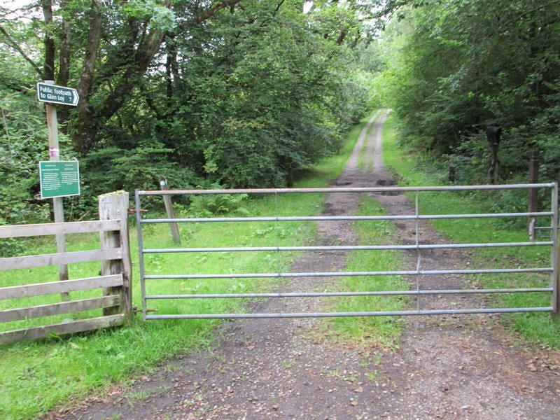
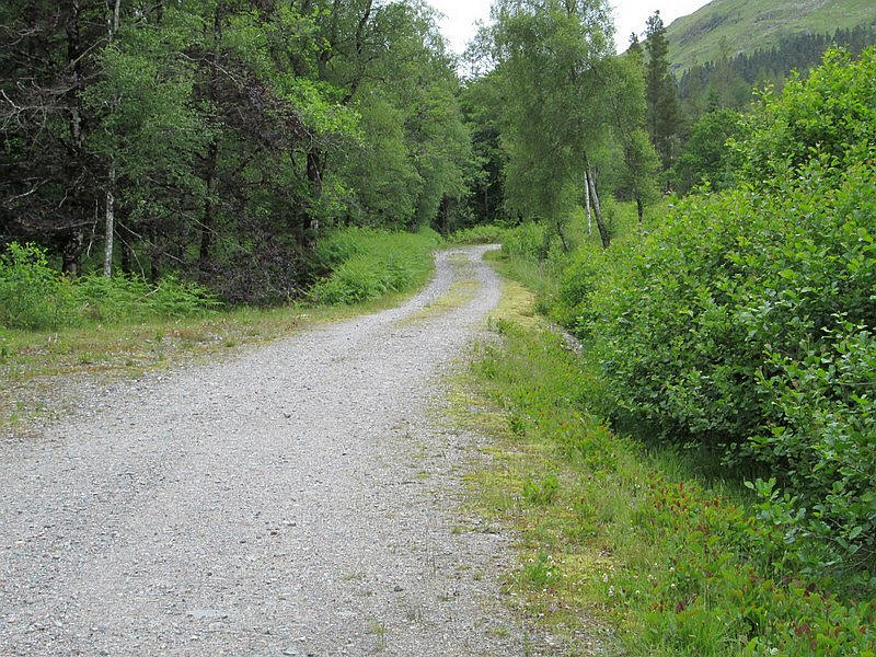
Leaving Fassfern there's a very good forest track signposted as a footpath to Glen Loy.
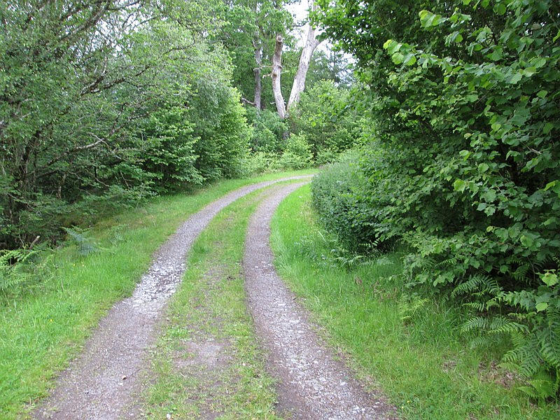
The track is very smooth and allows fast progress.....
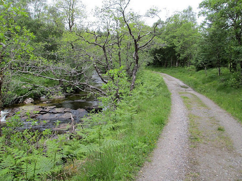
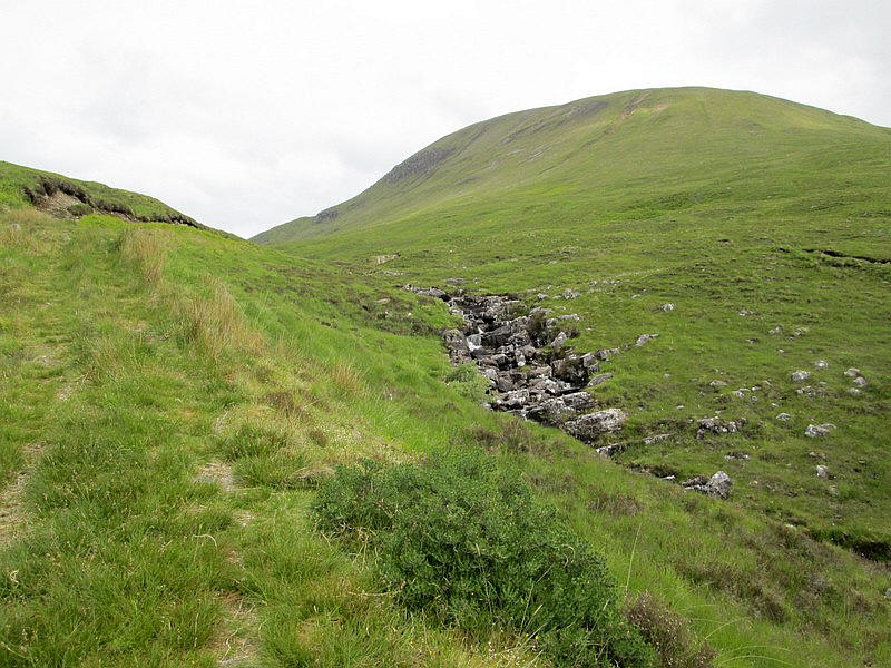
.....often by the An t-Suileag river.
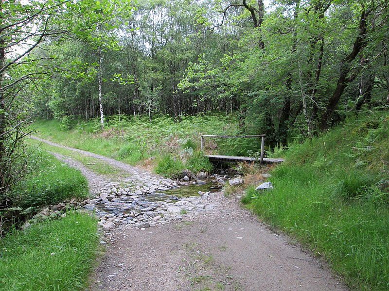
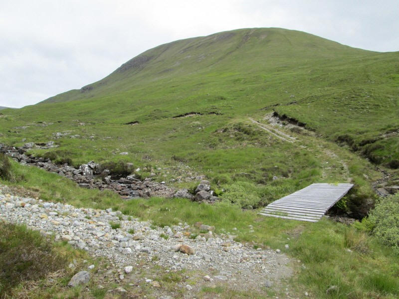
There's a useful footbridge over a ford....
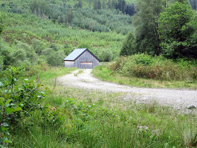
....and near a right turn uphill there is a small hydro electric power station.
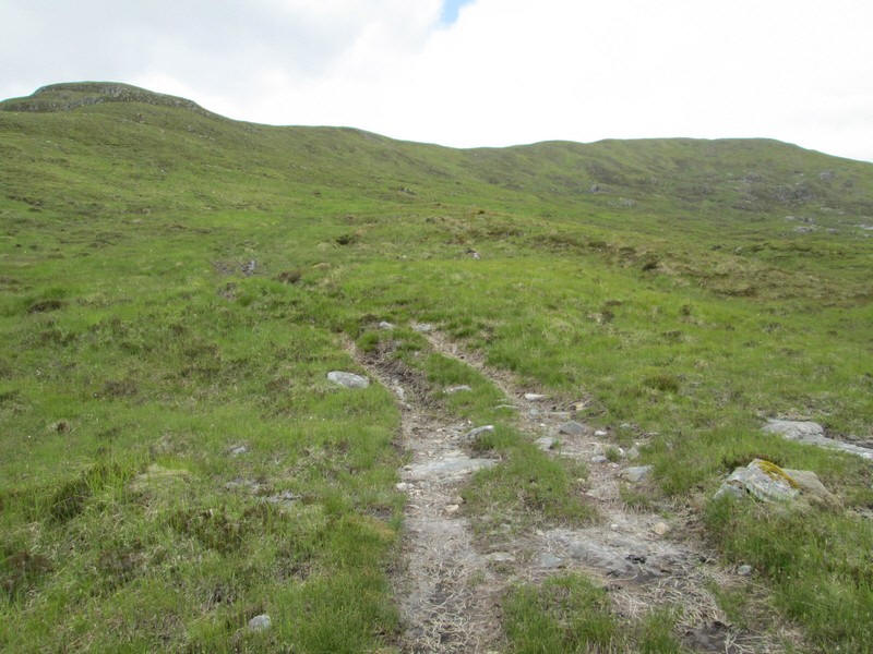
The track starts to climb uphill....
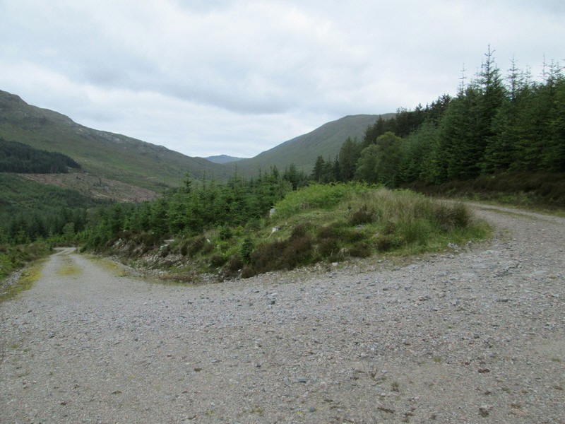
...to reach a higher track where a sharp left turn is made. Directly ahead is the col between the two Grahams. On the left is Aodann Chleireig and on the right Meall Onfhaidh. There's a drop over about 1000 feet followed by a climb of a similar amount.
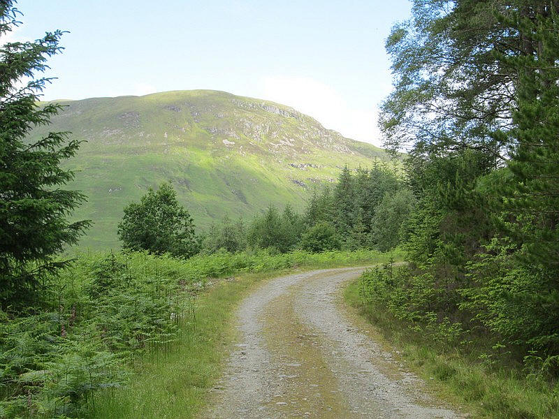
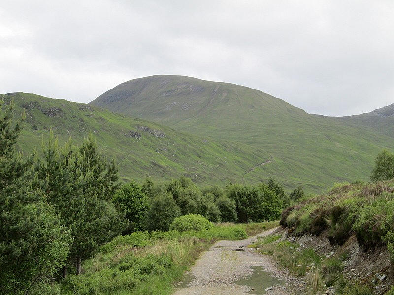
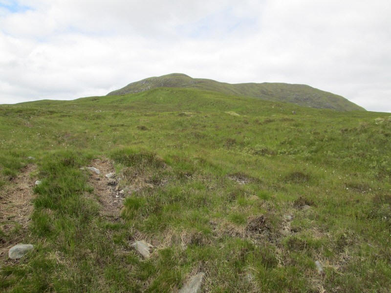
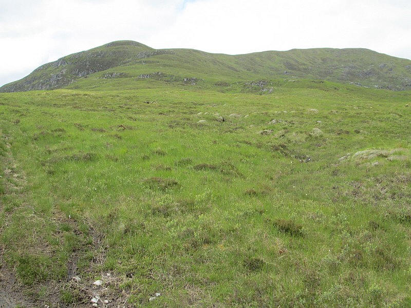
The first proper view of Meall Onfhaidh as the track leaves the forest.
The track now drops down to the river with the Corbett Meall a' Phubuill directly ahead - I climbed this hill in August 2023 on a horribly humid and midge infested day. Conditions in June 2024 were much pleasanter. The track seen on the hillside goes to the col between Meall a' Phubuill and Meall Onfhaidh which is over to the left.
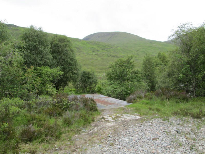
Leaving the main glen track the way to the hills is across this bridge.....
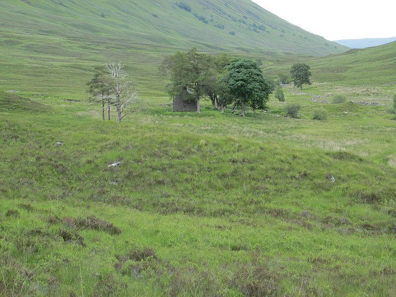
....with a view of Glensuileag bothy surrounded by trees.
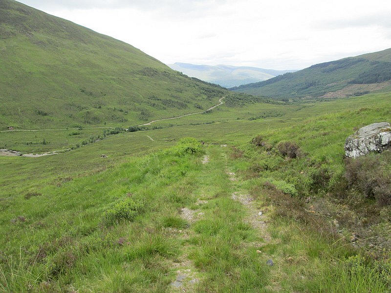
Looking back down the glen with the waters of Loch Eil just visible.
Just before reaching the col the track passes a waterfall....
....before reaching a bridge over the Allt Fionn Doire. Meall a' Phubuill is directly ahead. The track in the direction of Meall Onfhaidh branches off to the left....
...and a faint all terrain vehicle track heads across the hillside in the direction I want.
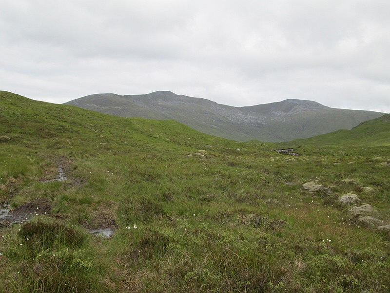
Over to the west is the Munro Gulvain which I'd climbed in 2015. Gulvain is one of those hills that have a very long ridge (nearly two miles) with several up and down sections before the summit is reached on the right hand end.
The ATV track twists and turns across the rather soggy hillside....
.. to eventually fade out about grid reference NN018839.
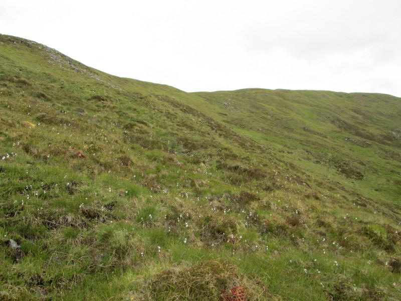
I then cut diagonally up the hillside (which is steep that it might appear in the photo) through cotton grass....
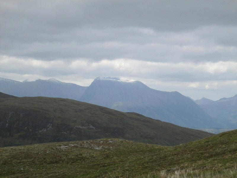
There's a good view of the snow on top of Ben Nevis...
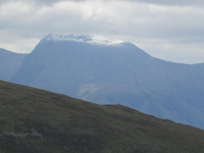
...with a zoomed in image.
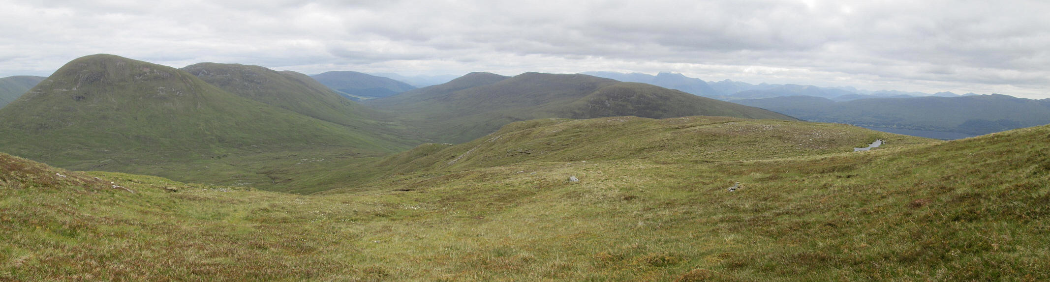
A panorama looking back downhill towards the watershed between Gleann Suileagg and Glen Loy with Meall a' Phubuill on the left. Click on the photo to see a larger image.
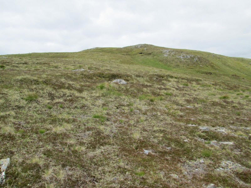
The gradient eases as the south east ridge of the hill is reached...
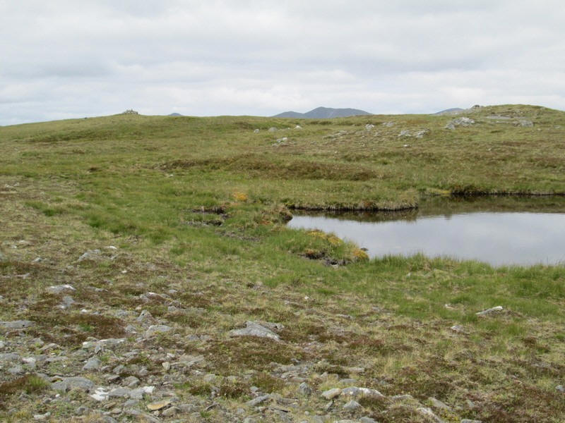
....and a small pool is passed with the summit cairn in view on the left.

Looking across to Gulvain shows the long ridge walk with the summit on the right.
The summit cairn on Meall Onfhaidh at 681m. The walk had taken me three hours and 10 minutes from Fassfern almost exactly the same as suggested in the SMC's book about the Grahams.
I wasn't completely sure the cairn was the highest point as there was another point to the north east that looked slightly higher so I walked across to it. My GPS readings confirmed that the cairn was the high point.
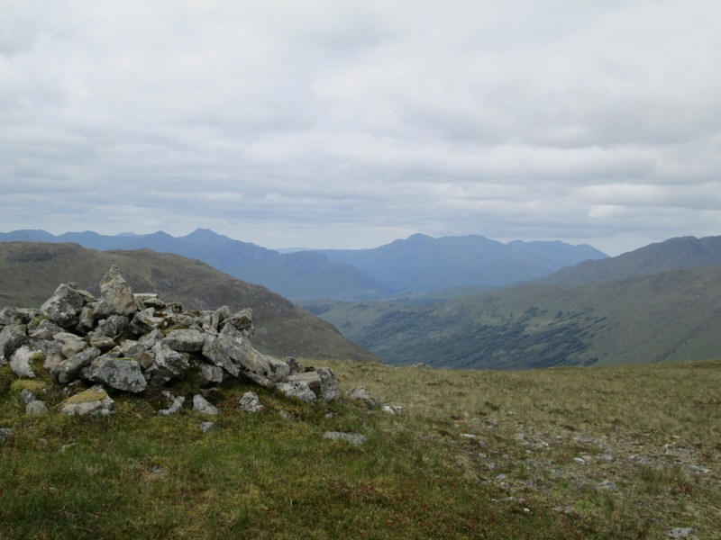
The photo is looking South West to the hills in Ardgour. The hill just visible in the far distance is over 40km away. Several of these hills are over 850m above sea level but are very isolated and difficult to reach so I doubt I will ever climb them.
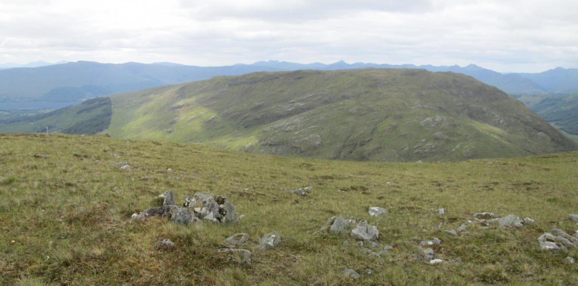
Looking down the slopes of Meall Onfhaidh towards the second Graham in this area, Aodann Chleireig which is slightly lower at 663m.
I'd originally thought of climbing both hills in one day but decided it would be more enjoyable to do them separately. I therefore decided to spend half an hour or so relaxing and soaking in the atmosphere of total silence. There was no wind, no birds singing and no traffic or aircraft noise.
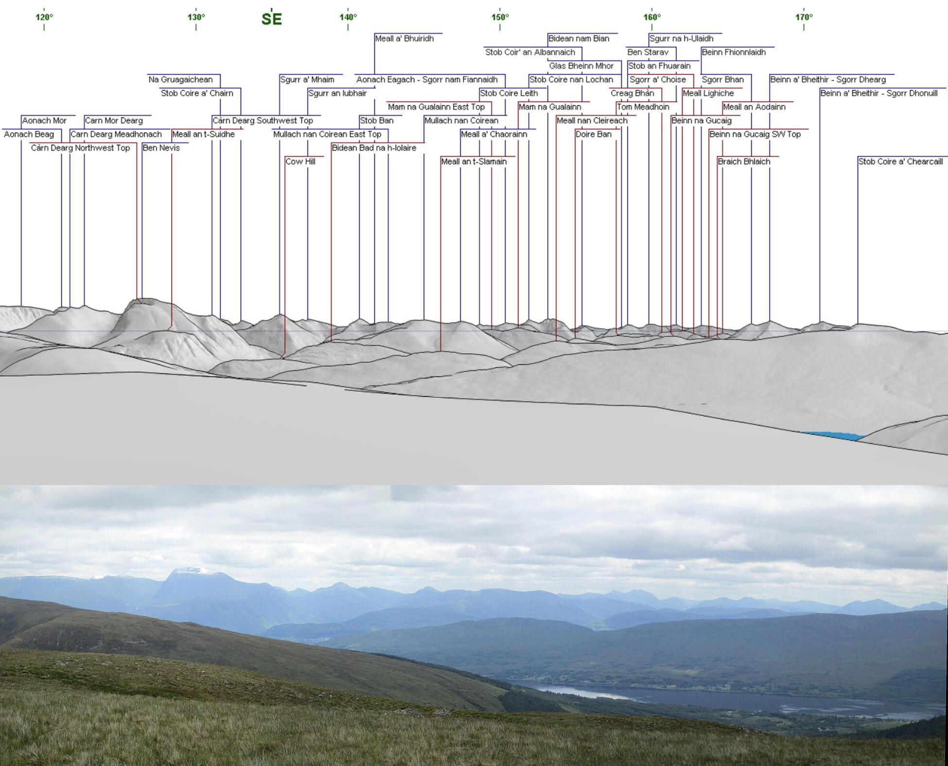
A panorama looking South East down to Loch Eil with dozens of peaks visible from the Aonachs and Ben Nevis on the left, followed by the hills around Glen Nevis Glen Coe and across the right around Ballachulish. Click on the photo to enlarge the image.
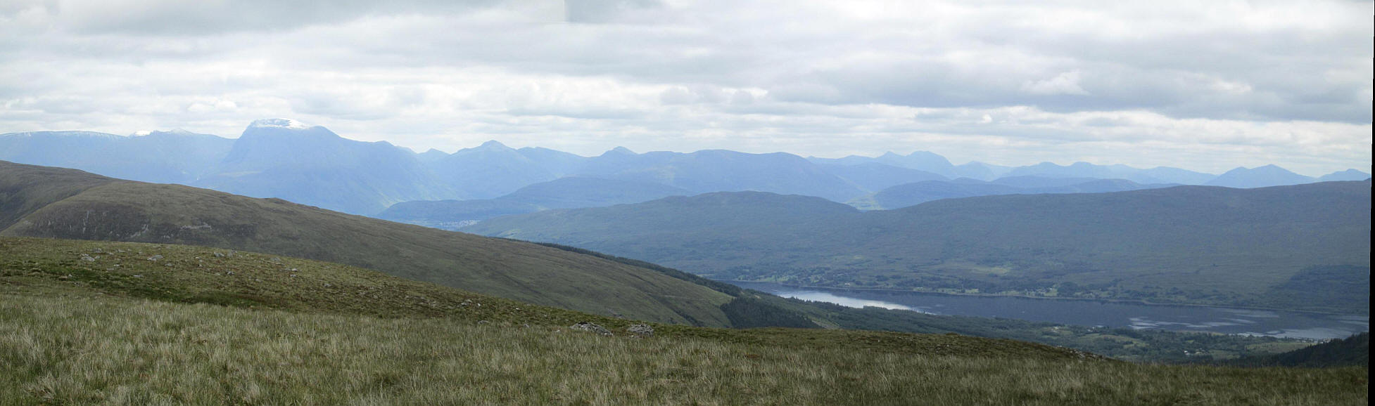
The same panorama without the diagram.
I returned downhill back to the bridge over the Allt Fionn Doire where I had a short break. Whilst I was there a woman and her dog came down off Meall a' Phubuill and we got into conversation about hill walking and walking forums. It transpired that she had read my account of climbing Meall a' Phubuill on Walk Highlands before she set off for the day's walk.
Ann, from Aviemore, is a far more experienced walker than I am so it was interesting to hear her perspective on hill walking. She also shares my interest in railways! We spent the next couple of hours walking back to Fassfern talking about hill walking and putting the world to rights. If uou read this many thanks for your company Ann and the lift back to Fort William.