Monadh Mor and Mullach Clach a' Bhlair
Monadh Mor is another Munro that I've tried to climb before but haven't succeeded. On both occasions I've started from Linn of Dee and ran out of time to complete the walk. The first time was when I climbed Beinn Bhrotain and had intended to carry on to Monadh Mor but in the end felt it was too far. The second time I intended to tackle it by a long walk in via the Geldie Burn and up by the Allt Dhaidh Mor. Again timing, as well as a very bad weather forecast, became an issue and I abandoned the walk.
Finally in September 2018 I was successful, climbing both Monadh Mor and Mullach Clach a' Bhlair, on a 11 hour walk covering 19 miles and 1370m ascent and descent.
The first few hours of the walk have already been described when I climbed Sgor an Lochain Uaine but for completeness this page repeats this section and uses some of the photos taken on that day.
I drove to the car park at Auchlean, leaving about 08:15 along the lane towards the farm.
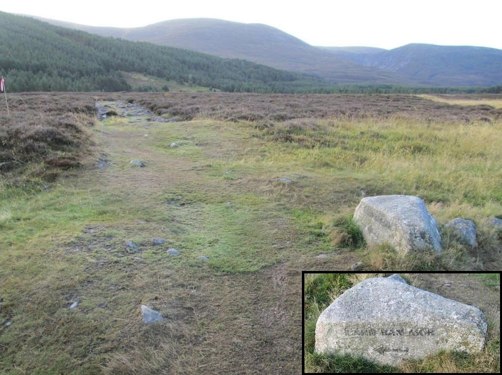
After about half a mile on the road a stone by the road side, with the inscription Carn Ban Mor, marks the start of the path up onto the Cairngorm plateau.
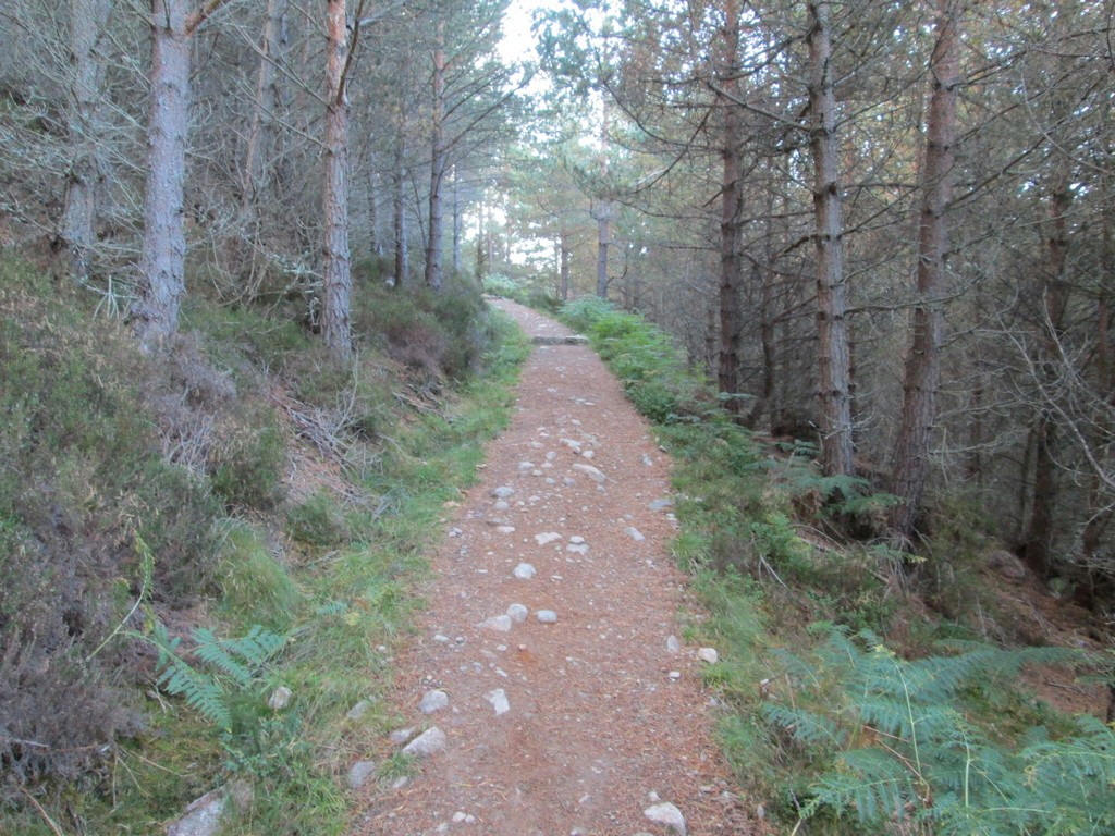
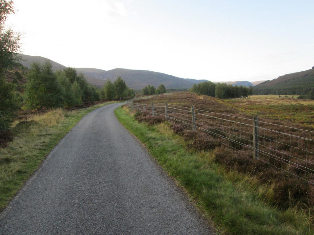
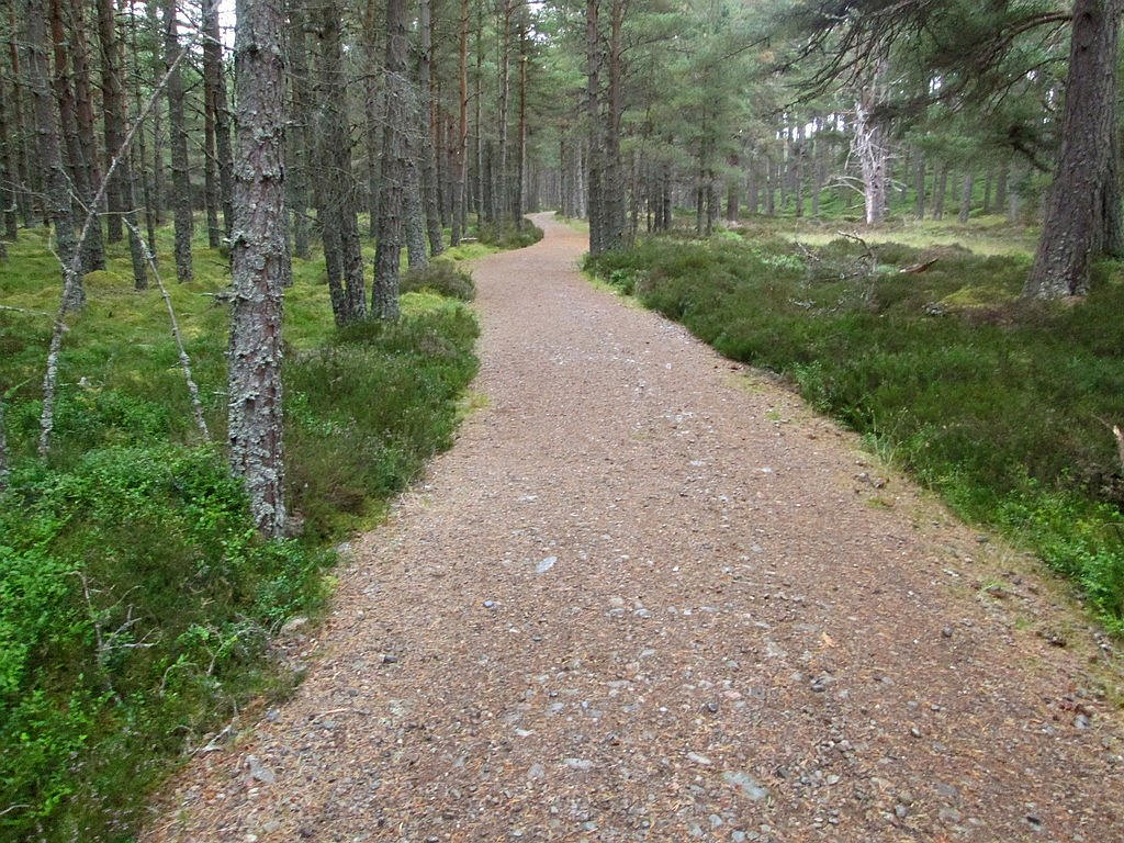
It enters woodland...
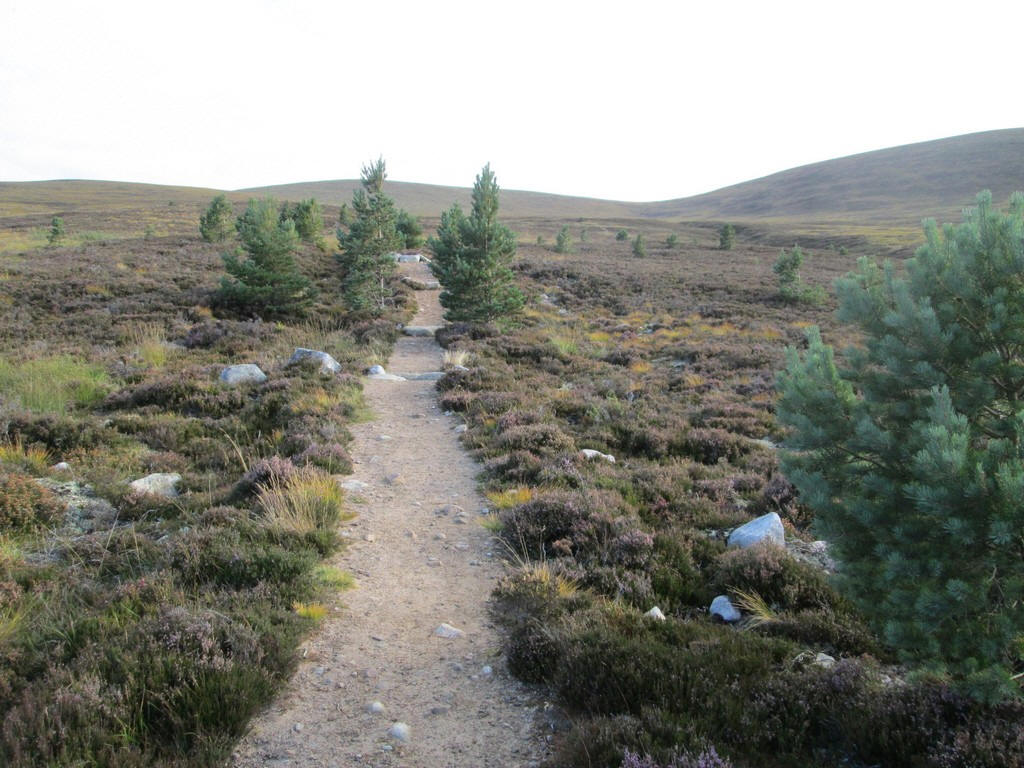
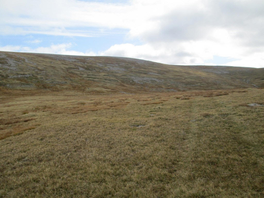
.....before reaching the open heather moor....
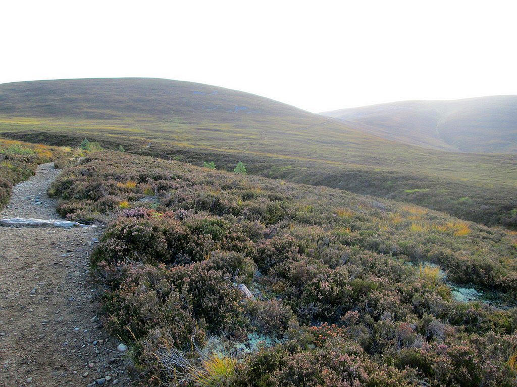
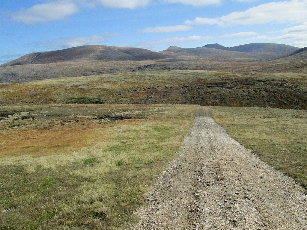
...and for the first mile or so is easily graded.
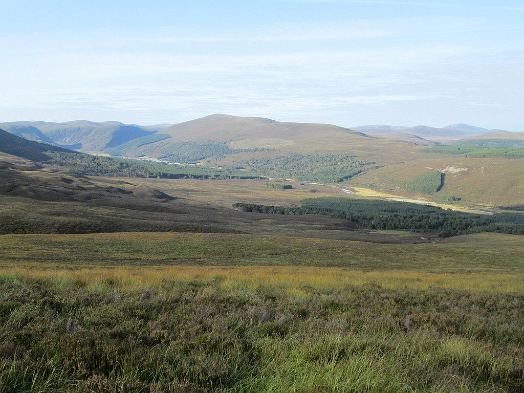
Looking back down into Glen Feshie.
The path climbs steadily up the side of the hillside above the Allt Fhearnagan stream.
The path can be snaking up the hillside above Coire Fhearnagan.
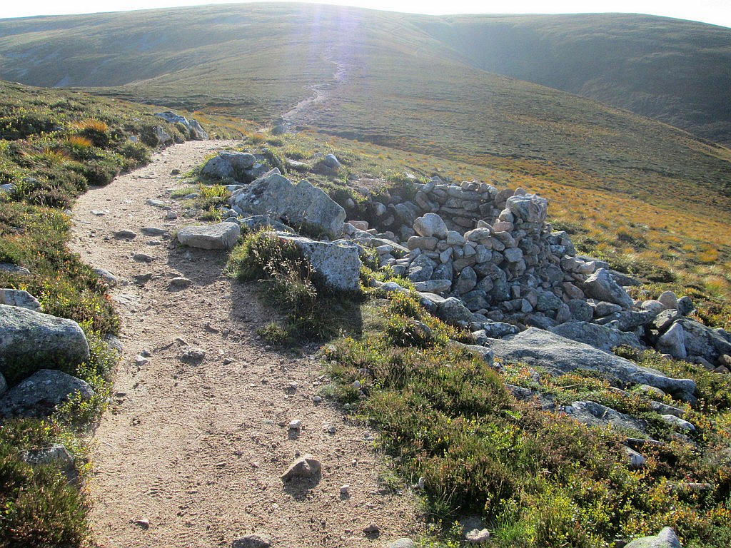
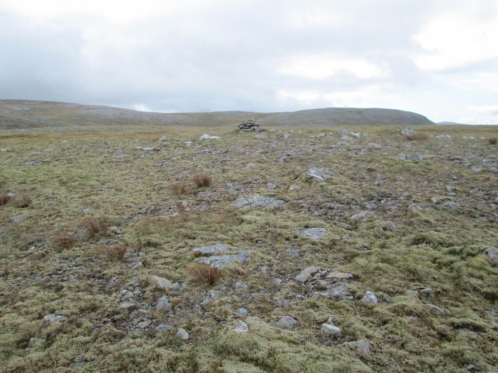
Just before the path drops to a col there is a sunken walled shelter which would no doubt given some protection in bad weather.
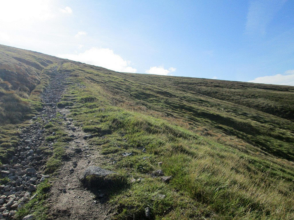
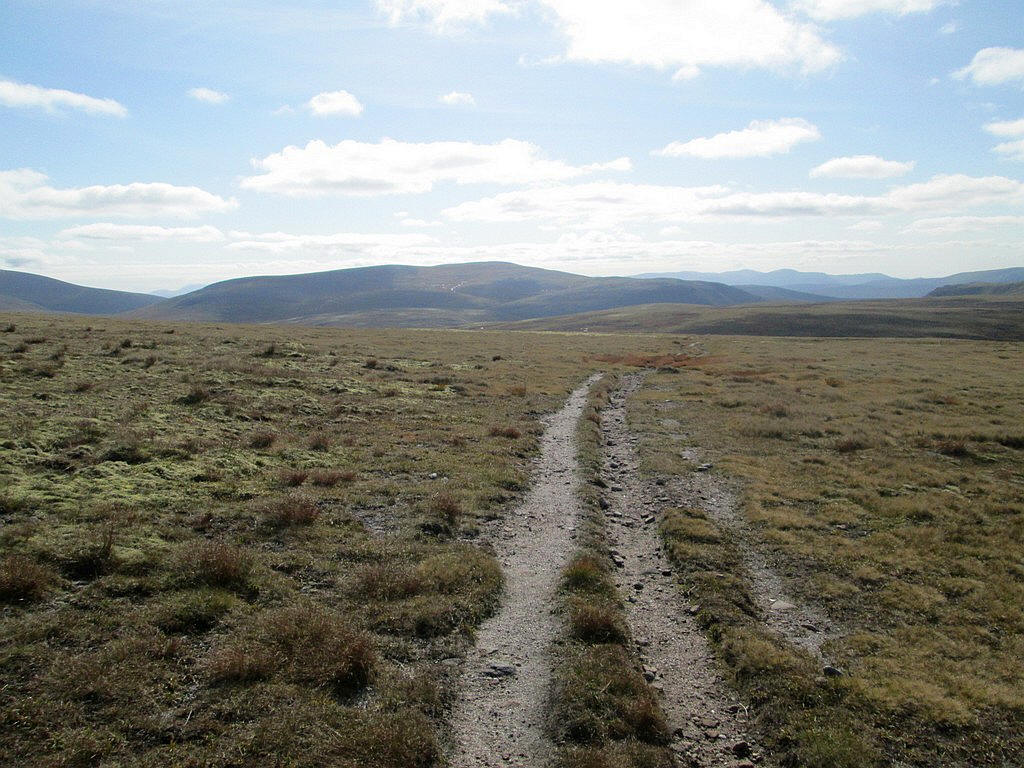
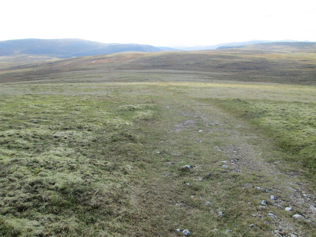
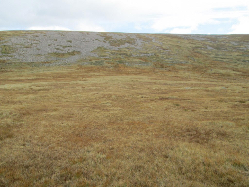
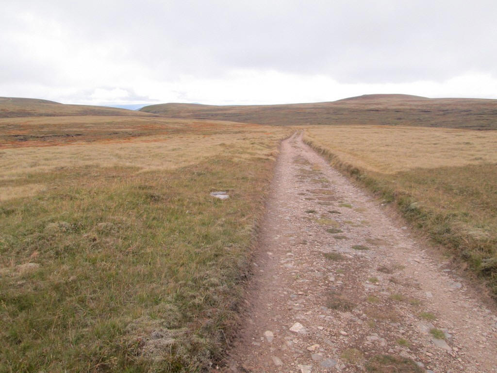
Looking back downhill - although the path is relatively easily graded it is relentless.
As the path approaches the 1000m contour it becomes rougher and steeper.
Just below the summit of Carn Ban Mor there is a large cairn with five tracks leading off in different directions. It had taken just under two hours to reach this point, slightly faster than I'd expected.
The path straight ahead is the way I wanted.
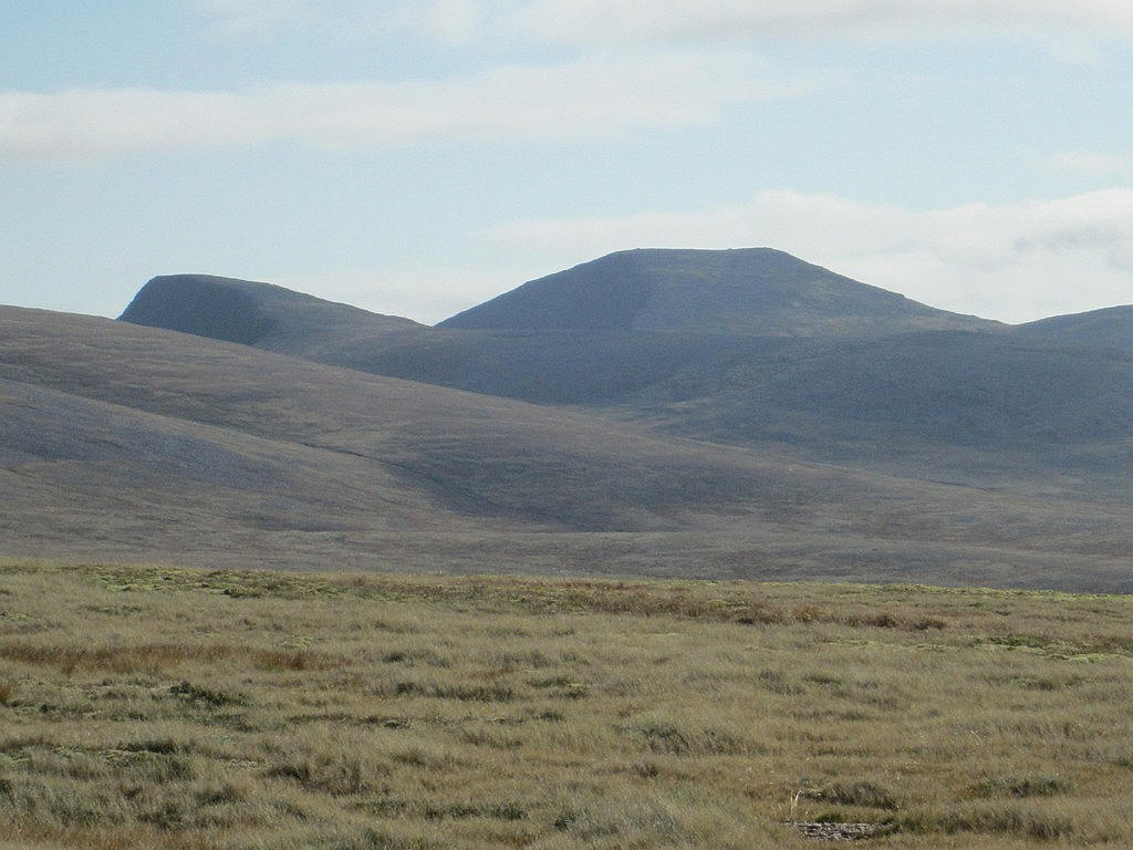
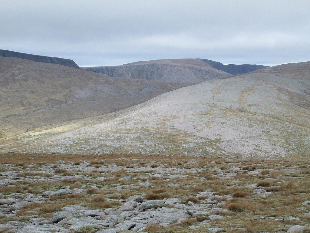
Straight ahead is the bulk of Monadh Mor...
...whilst to the east are Sgor an Lochain Uaine (1258m) on the left and to the right the flat top of Cairn Toul (1291m). These are the fifth and fourth highest hills in Britain.
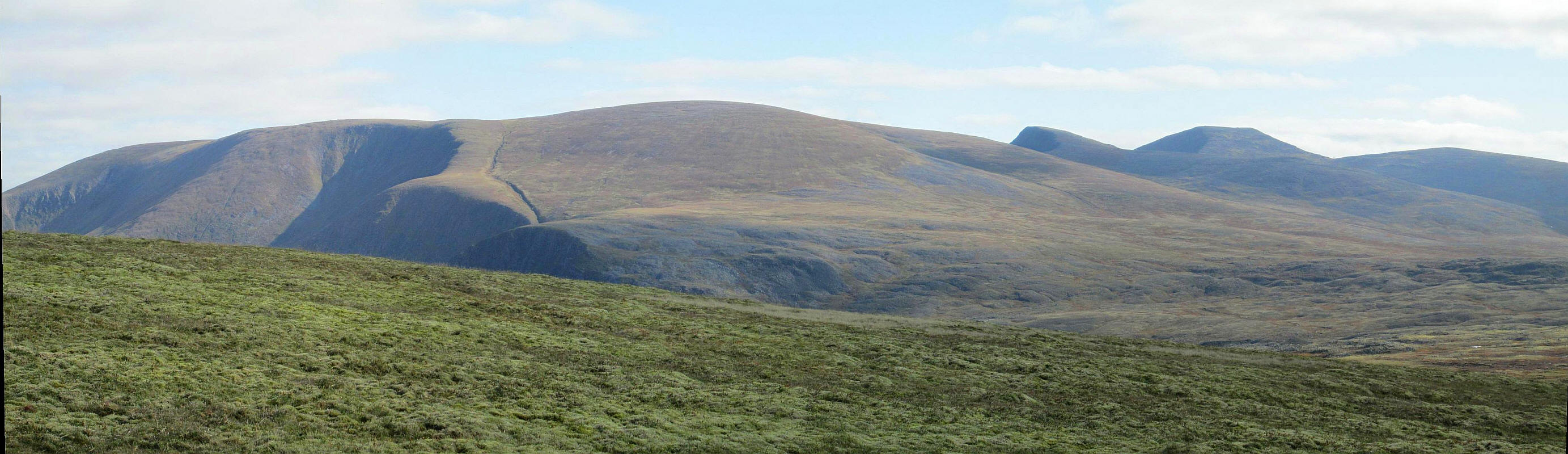
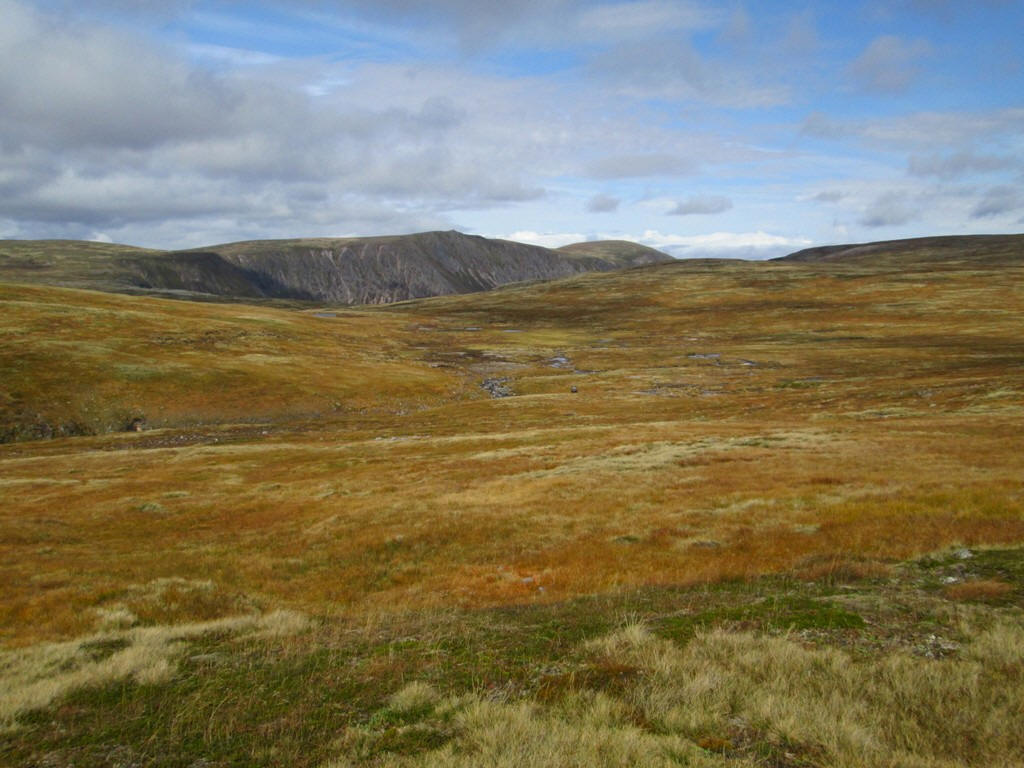
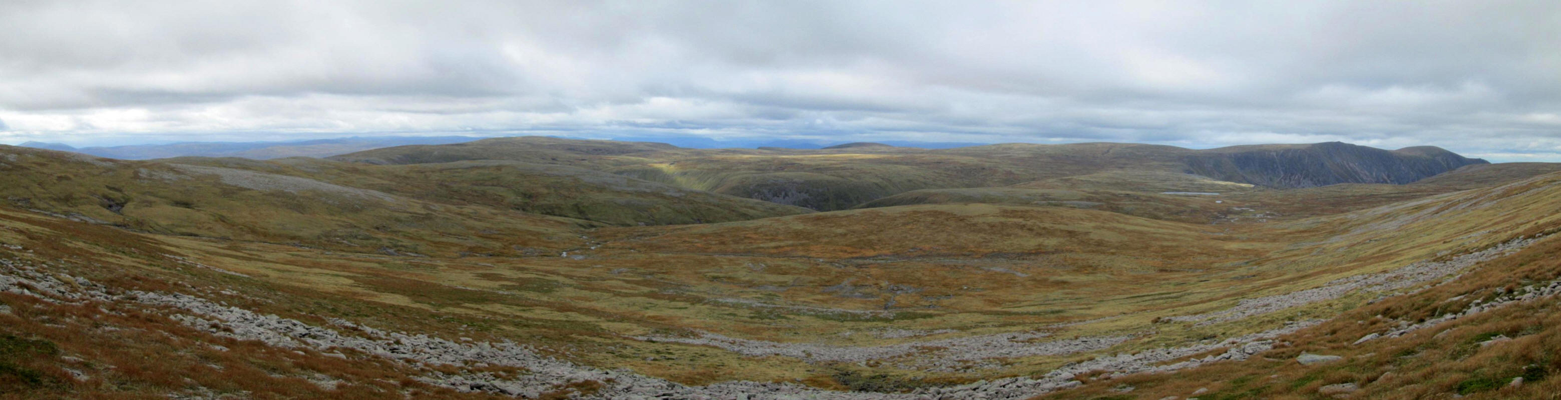
Looking towards the north east and east this panorama shows a linear distance of over 3 miles from the cliffs below Carn na Criche (one of the summits of Braeraich) on the left and across to Cairn Toul on the right
Click on the photograph to see a larger image and then click on this again to see the full size panorama.
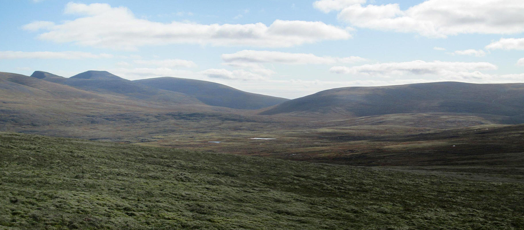
Another clickable panorama looking across the Moine Mor (Great Moss) towards the three Munros of Sgor an Lochain Uaine, Cairn Toul and Monadh Mor.
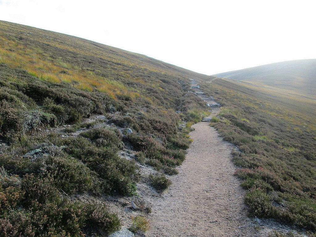
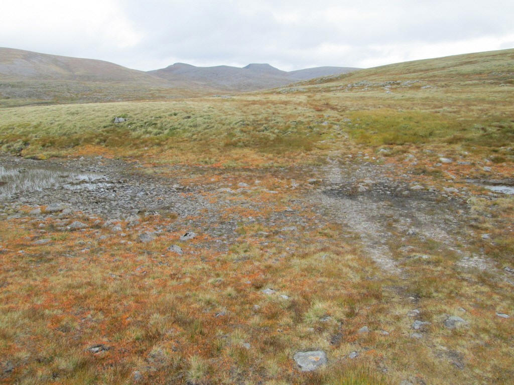
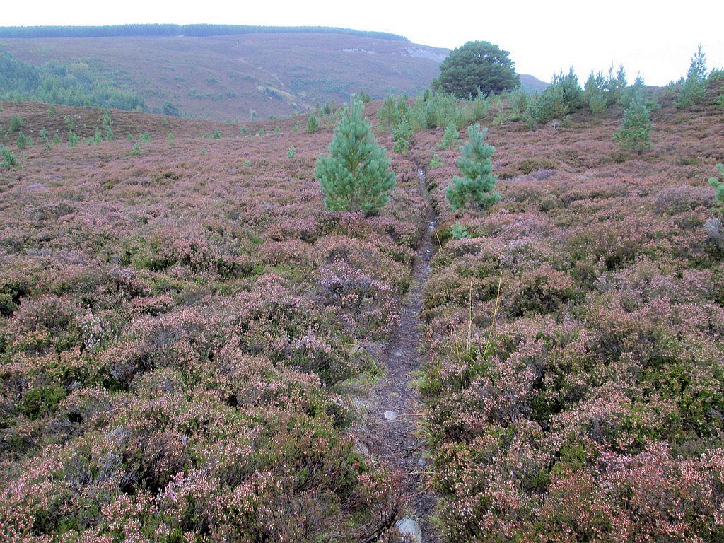
The track becomes a little fainter as it drops downhill, losing about 100m in height.
At one stage the path becomes much fainter as it climbs up to...
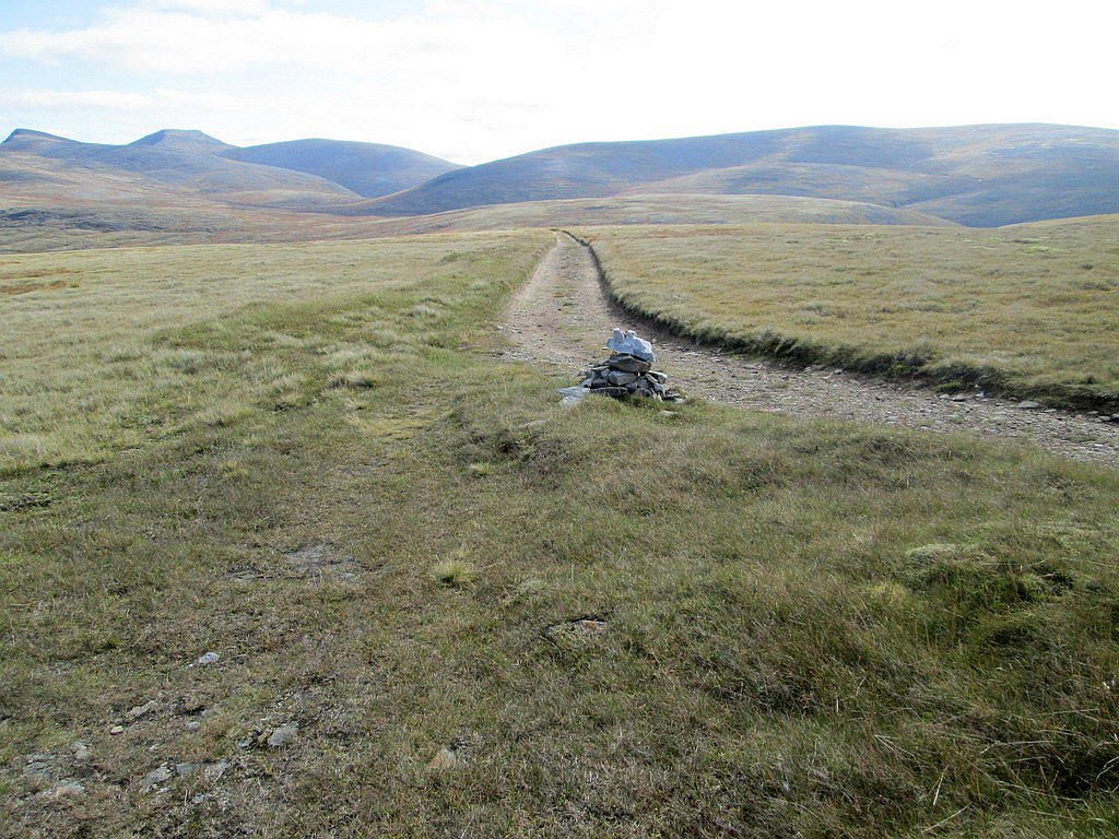
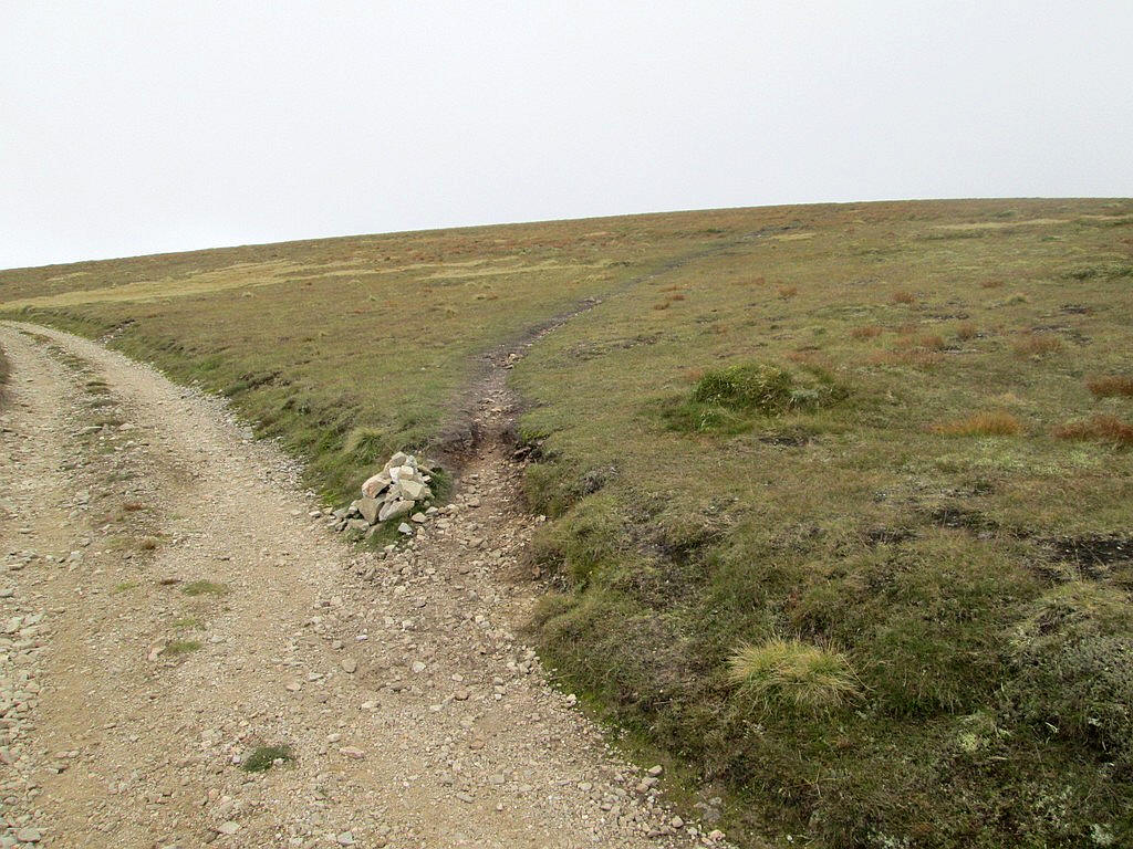
...reach a cairn by the side of a vehicle track at NN 905 956.
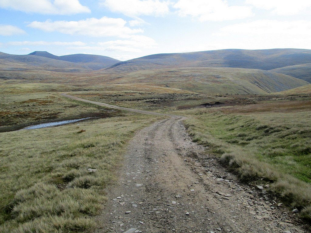
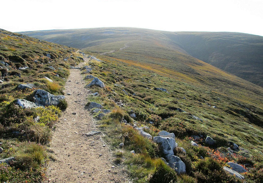
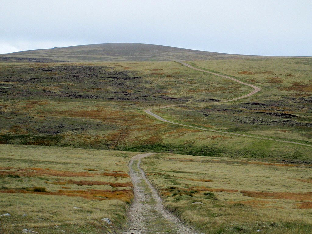
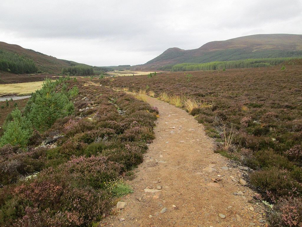
The vehicle track crosses the moor as before....
...drops down to a vehicle turning point at NN 912 958.
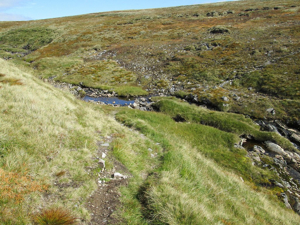
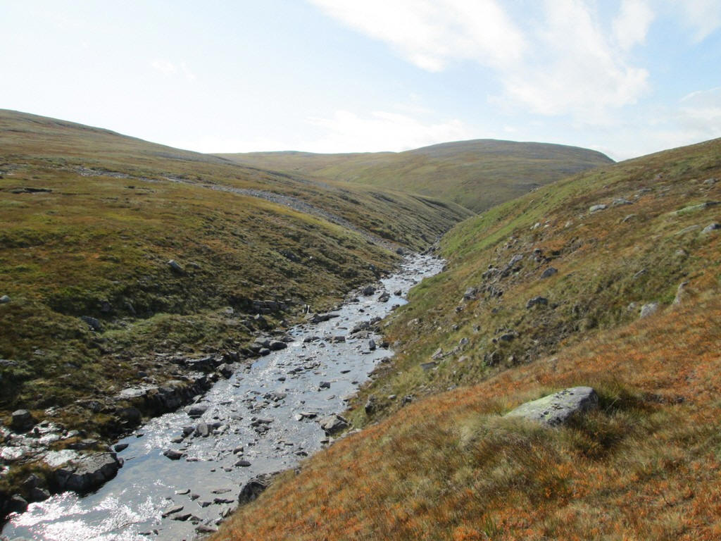
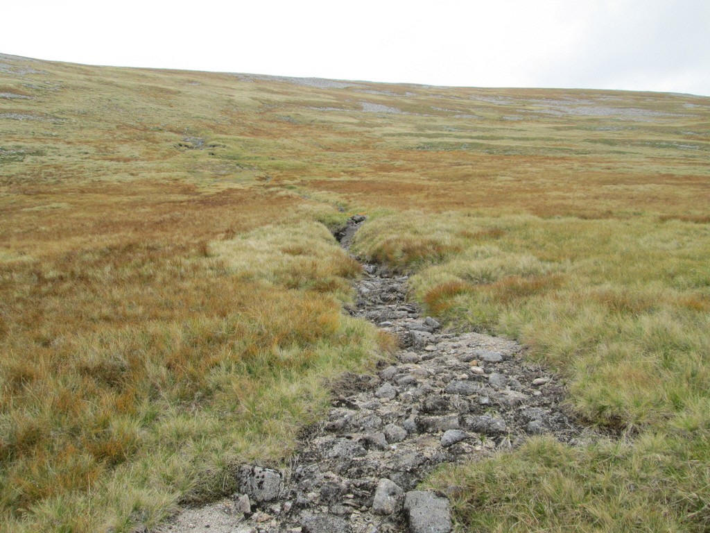
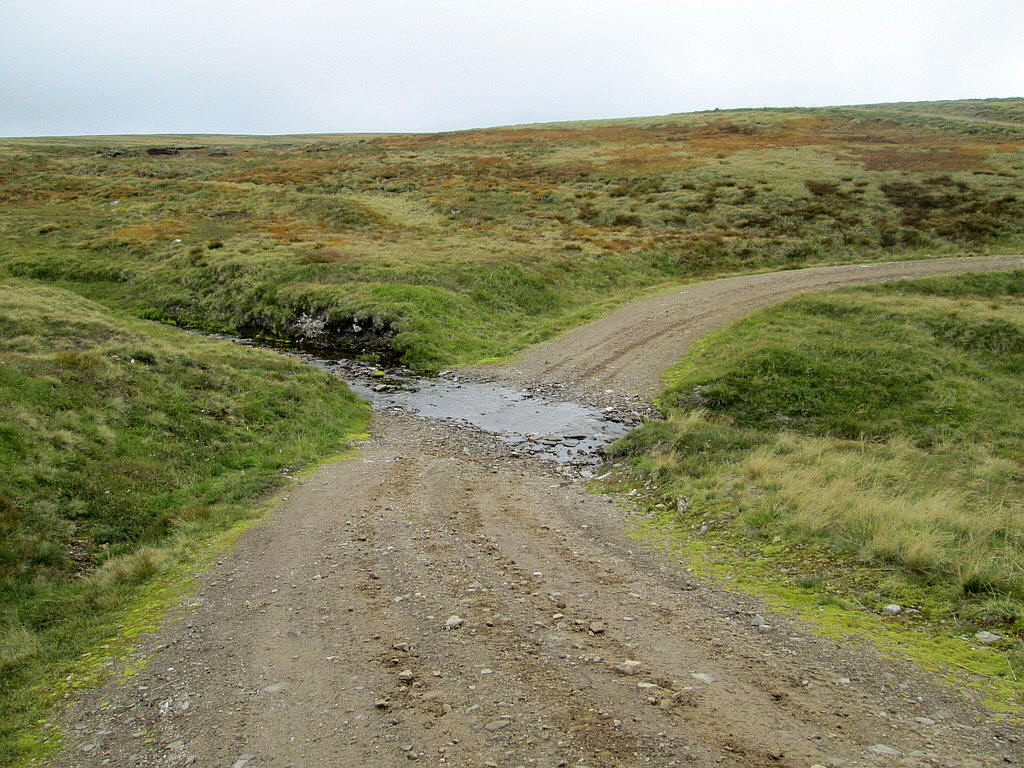
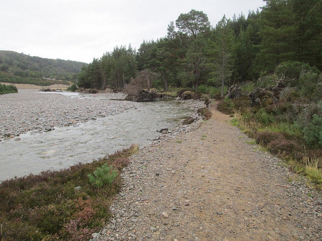
From there a path leads down to the Allt Sgairnich, which given the dry conditions, was easily crossed on stones.
The previous day, when I climbed Sgor an Lochain Uaine, I'd noticed a vehicle track heading across towards Tom Dubh. This would clearly be a useful way to get to Monmadh Mor so I entered the grid reference into my GPS.
I headed uphill from the stream to NN91206 95805......
...and followed the track across the moor.
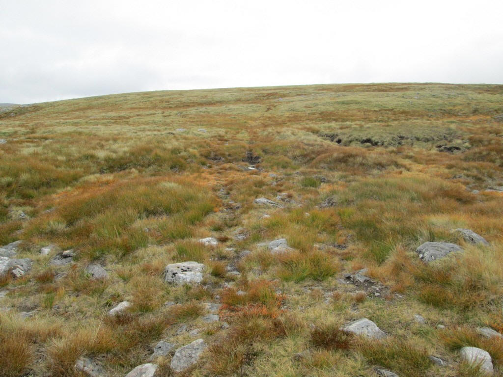
There are a few potentially boggy sections where the track is less clear.
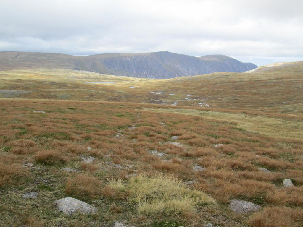
Across to the north are Sgor Gaoith and Loch nan Cnapen
The rough track starts to climb...
...and Monadh Mor comes into view.
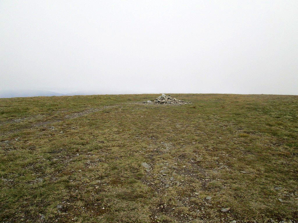
The minor summit of Tom Dubh has two cairns....
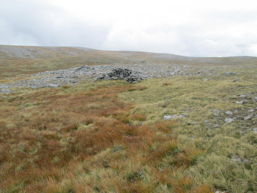
...with the second one (a Munro Top at 918m) also having a shelter.
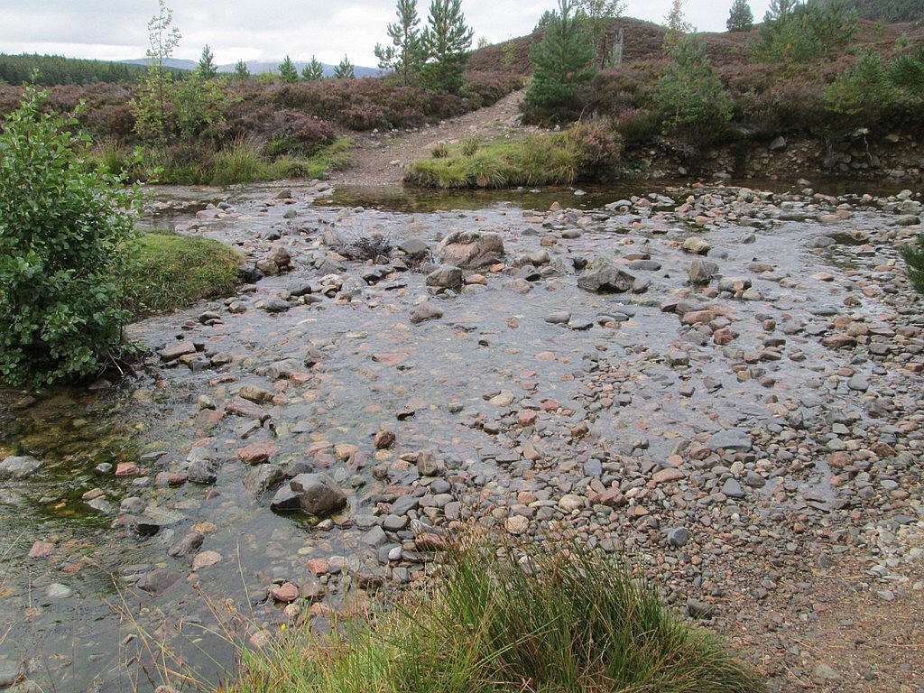
From the cairn I headed downhill towards the Allt Lunieag.
I'd read that it was best to cross this at the north end of the gorge and that it would almost certainly require a paddle.
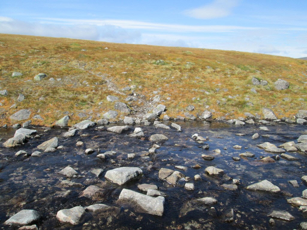
It's obvious that at NN92521 95393 many walkers have used the stones here to cross the river. So it was off with the socks and a paddle across the river in my boots, followed by emptying the water in my boots and drying the insides with the hotel's towel (borrowed for the day!) and off up the hill. Needless to say the grid reference was entered in my GPS for the return.
Initially, I simply walked up the hill heading for the spot height at 974m (NN 929 948).
Looking back downhill with a good view of Sgor Gaoith.
As I climbed uphill I noticed that the all terrain vehicle track had continued across the river so once again this eased the climb.
The track bypassed the 974m spot height summit and at this point I left it to drop down ....
......to the low coll at NN 931 948
On the climb up to the summit I followed the dry bed of a stream for some distance...
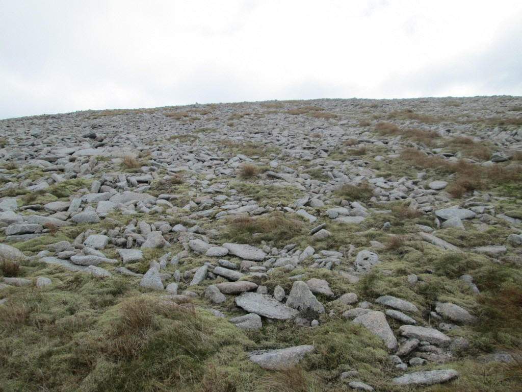
....before reaching the stonier ground further up.
This panorama taken on the climb up to Monadh Mor's ridge and shows a linear distance of about 5 miles. Mullach Clach a' Bhlair can be seen in the distance left of centre and Sgor Gaoith on the right.
Click on the photo to see a larger image and then click on that for the full size photo.
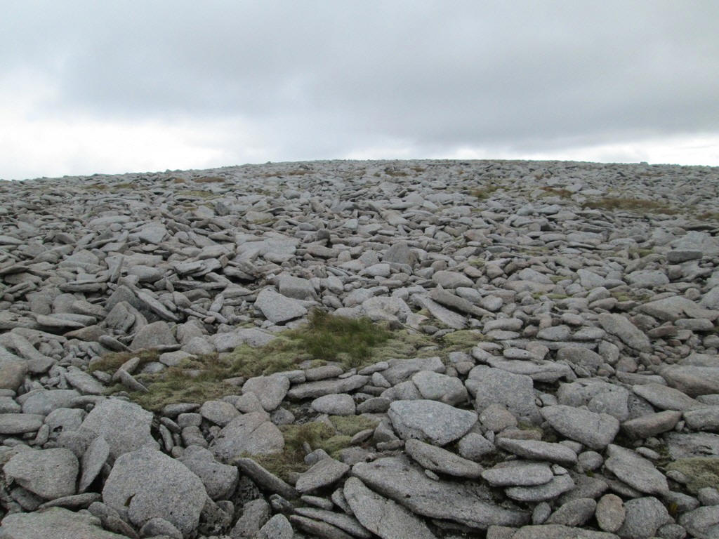
The ridge to the summit is covered in boulders which gives slow walking for the last few hundred metres to....
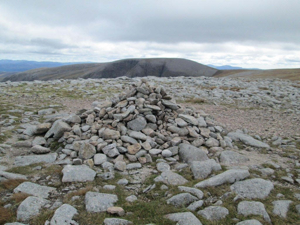
...to the summit cairn at 1113m. It had taken 4 and a half hours from Auchlean to reach this point.
Looking across to the bealach between Sgor an Lochain Uaine (on the left) and Cairn Toul (on the right). Just visible on the far left is Braeriach.
Braeriach and the slopes of Sgor an Lochain Uaine
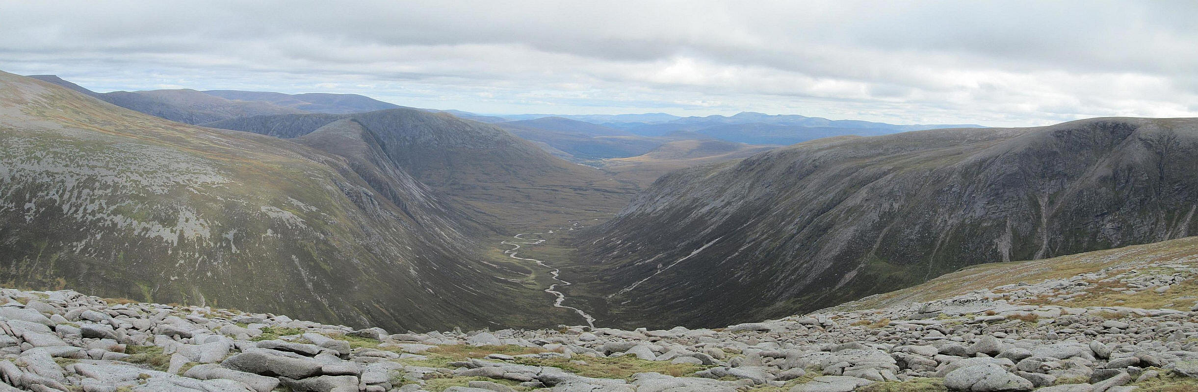
A panoramic photo looking down Glen Geuscachan with the ponted summit of Devil's Point (centre left and to the left of the river) and Beinn Bhrotain on the right. In the far distance on the left is Beinn a'Bhuird.
Click on the photo to see a larger image and then click on that for the full size photo.
As the weather forecast for the next day was for heavy rain I decided that I would walk on to Mullach Clach a' Bhlair to complete climbing the Munros in this part of the Cairngorms. After I had re-crossed the river I joined the all terrain vehicle track to get back the main vehicle track which would then take me all the way to Mullach Clach a' Bhlair.
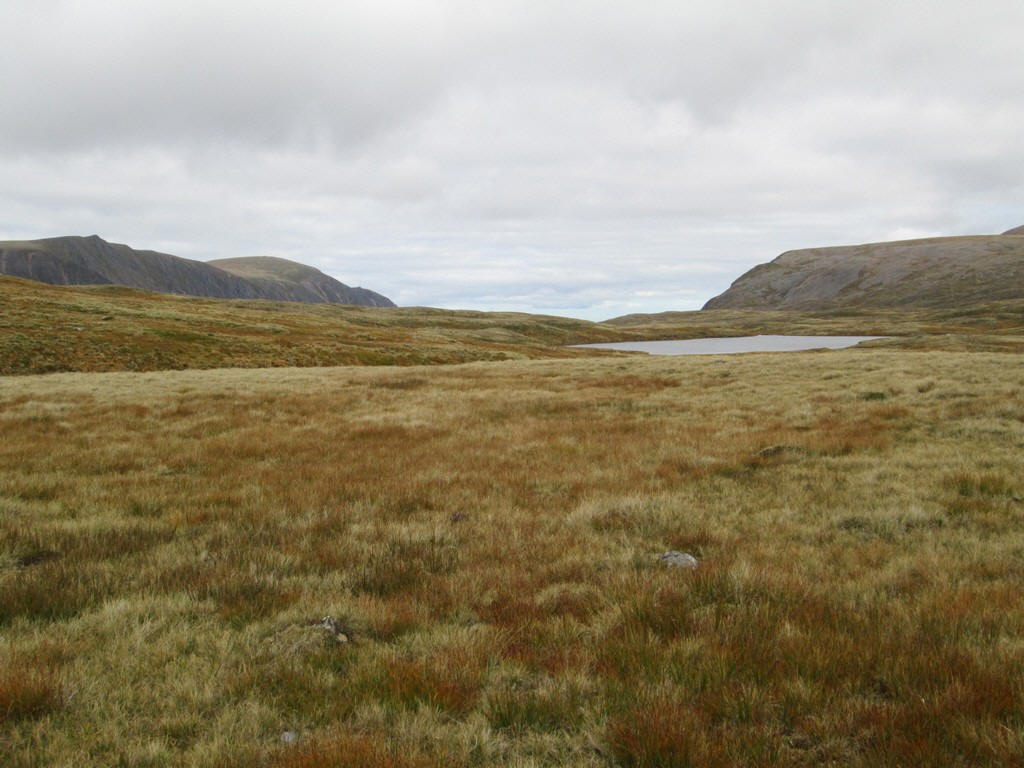
The photo above shows Loch nan Cnapen with Sgor Gaoith prominent in the distance.
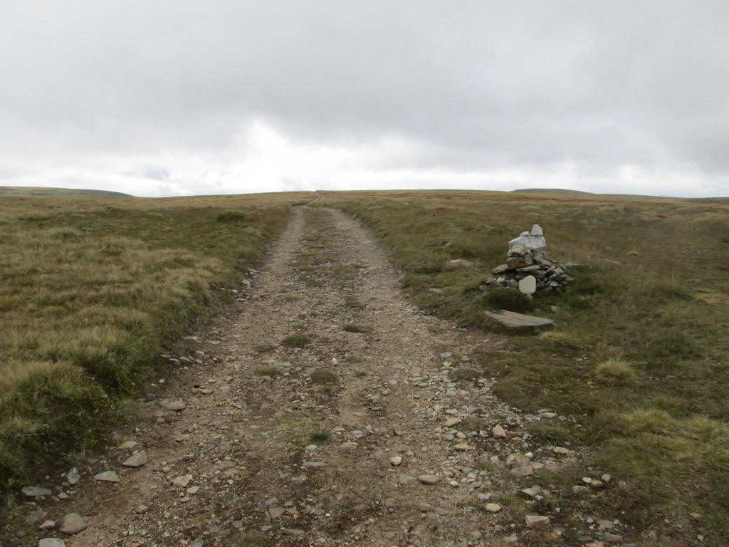
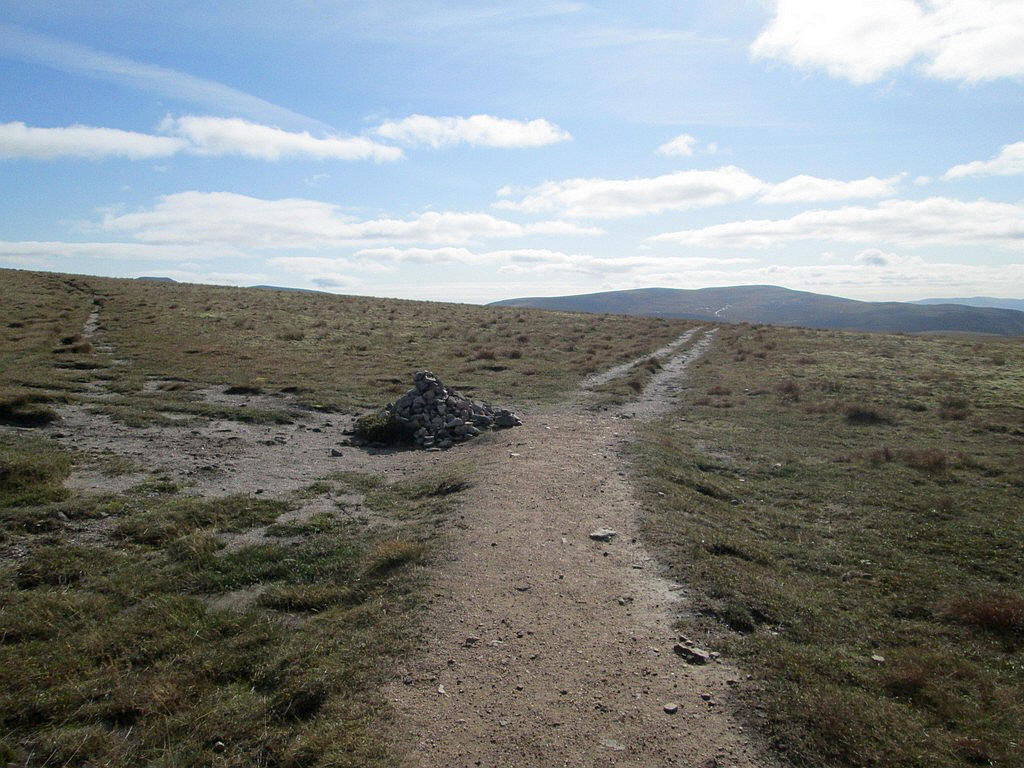
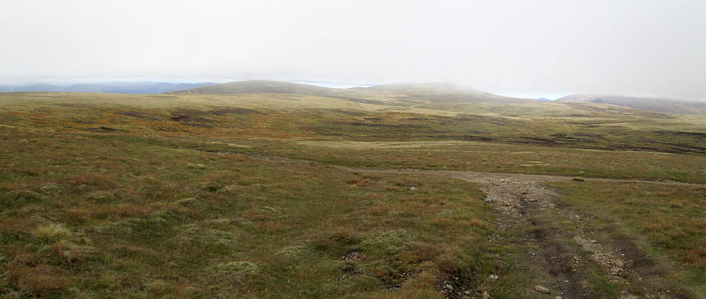
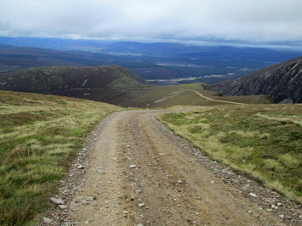
Once back on the vehicle track I followed it to the cairn where the return path to can Ban Mor and Auchlean leads off to the right.
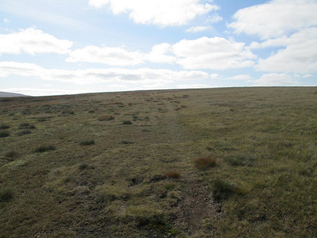
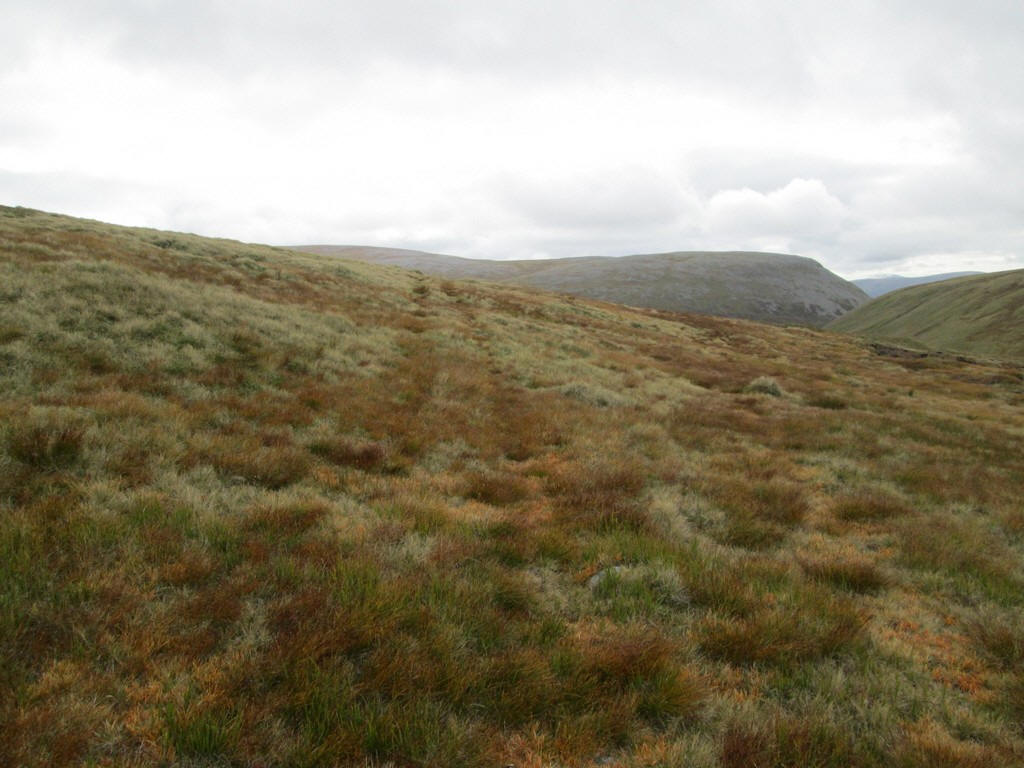
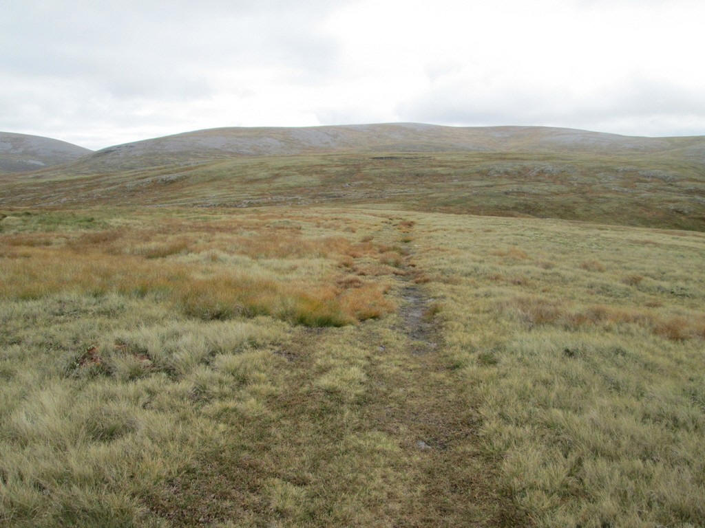
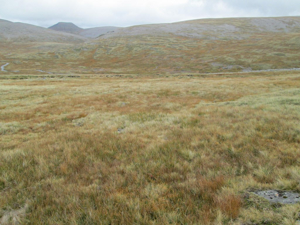
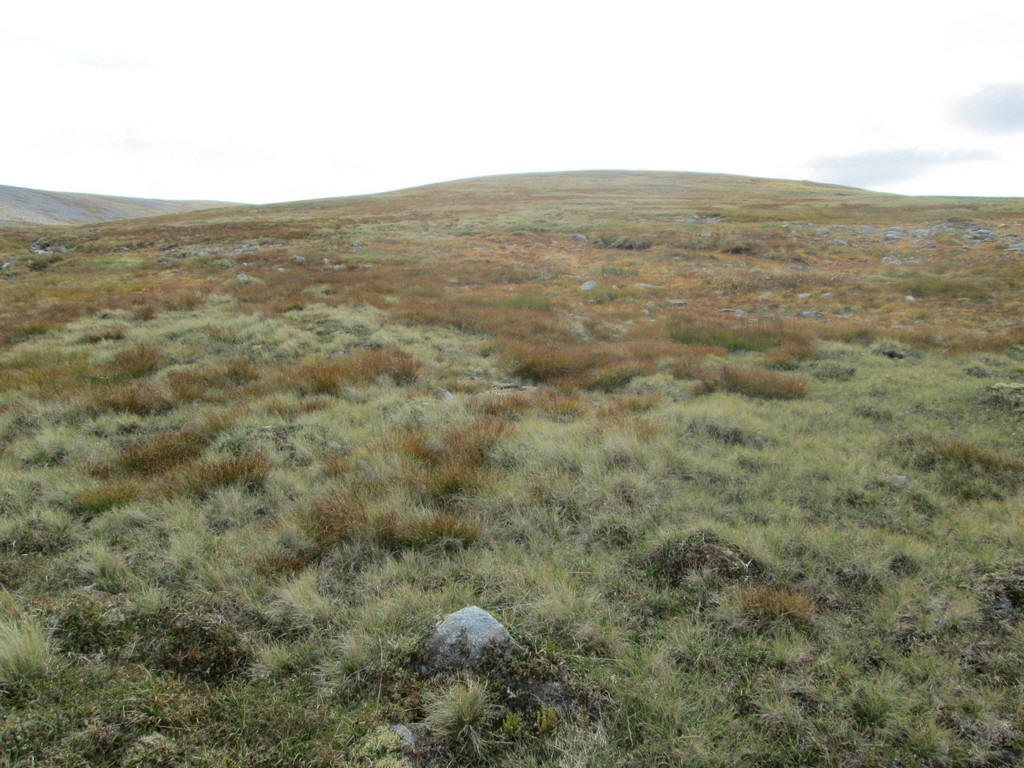
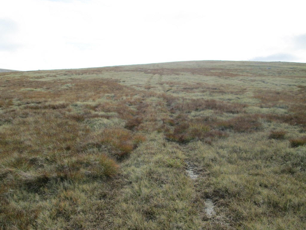
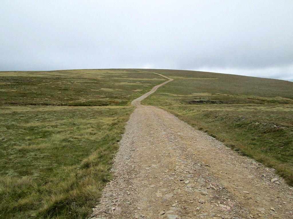
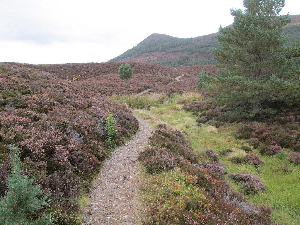
Inevitably, the next three miles across the Cairngorm plateau are not going to be a particularly exciting but the photos will give a taste of this bleak and barren area.
Straight ahead is the summit of Mullach Clach a' Bhlair. The track crosses several streams at fords which look as they might be a problem to cross in very wet weather. This is dropping down .....
...to the Caochan Dubh.
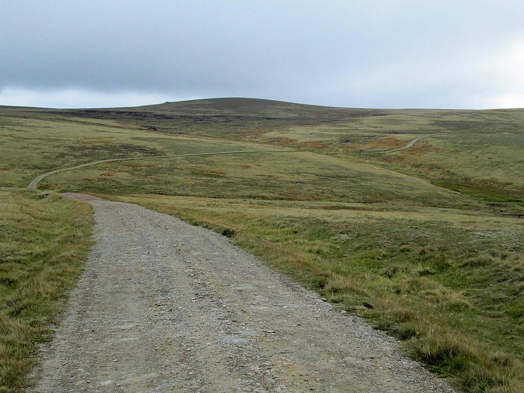
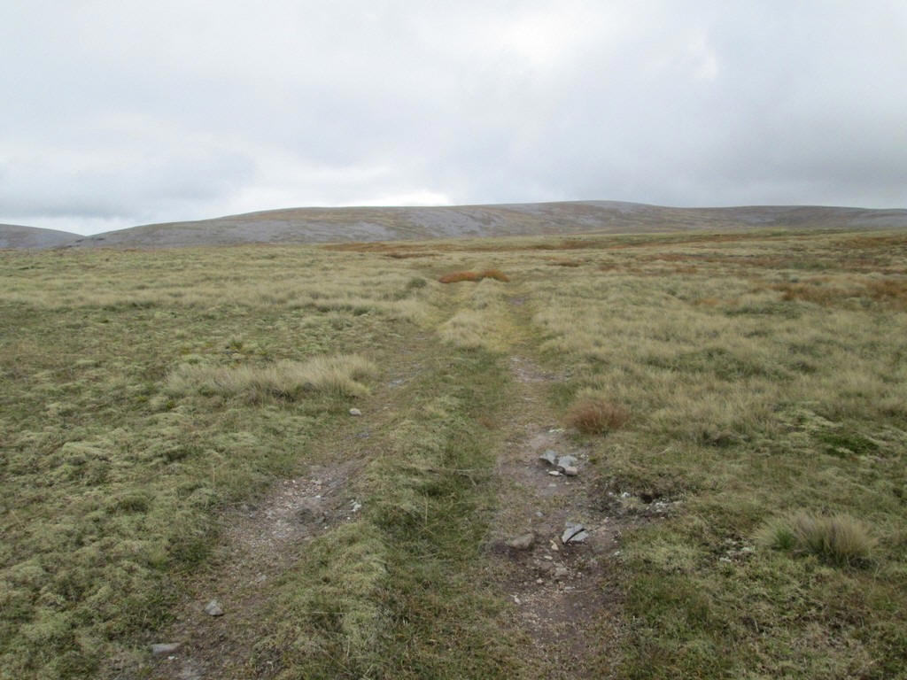
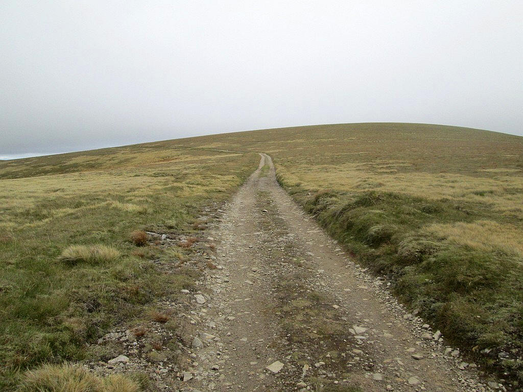
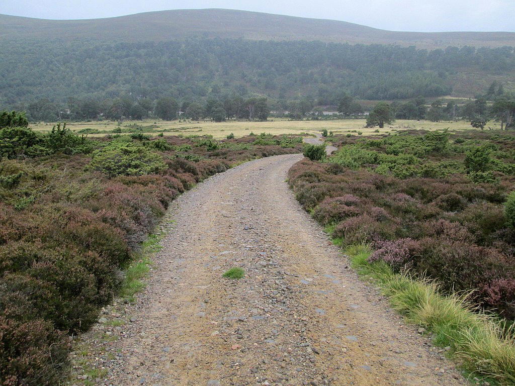
Onwards across the moors the track drops down...
....and crosses the start of the Allt Garbhlach.
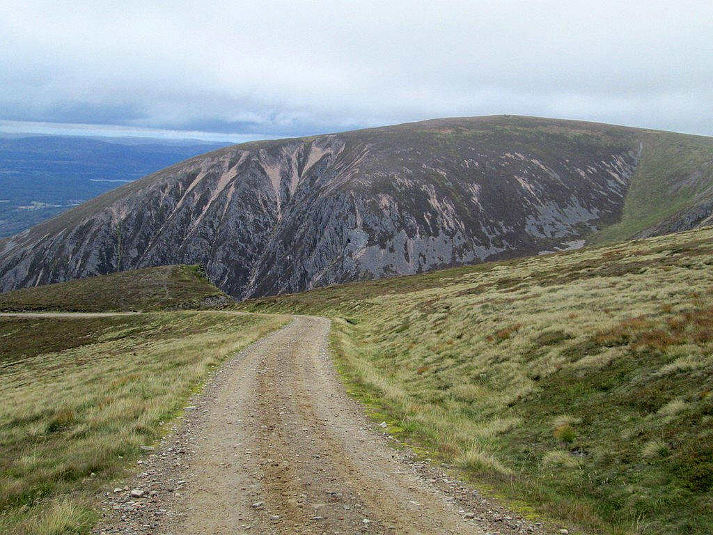
The track now climbs uphill to reach...
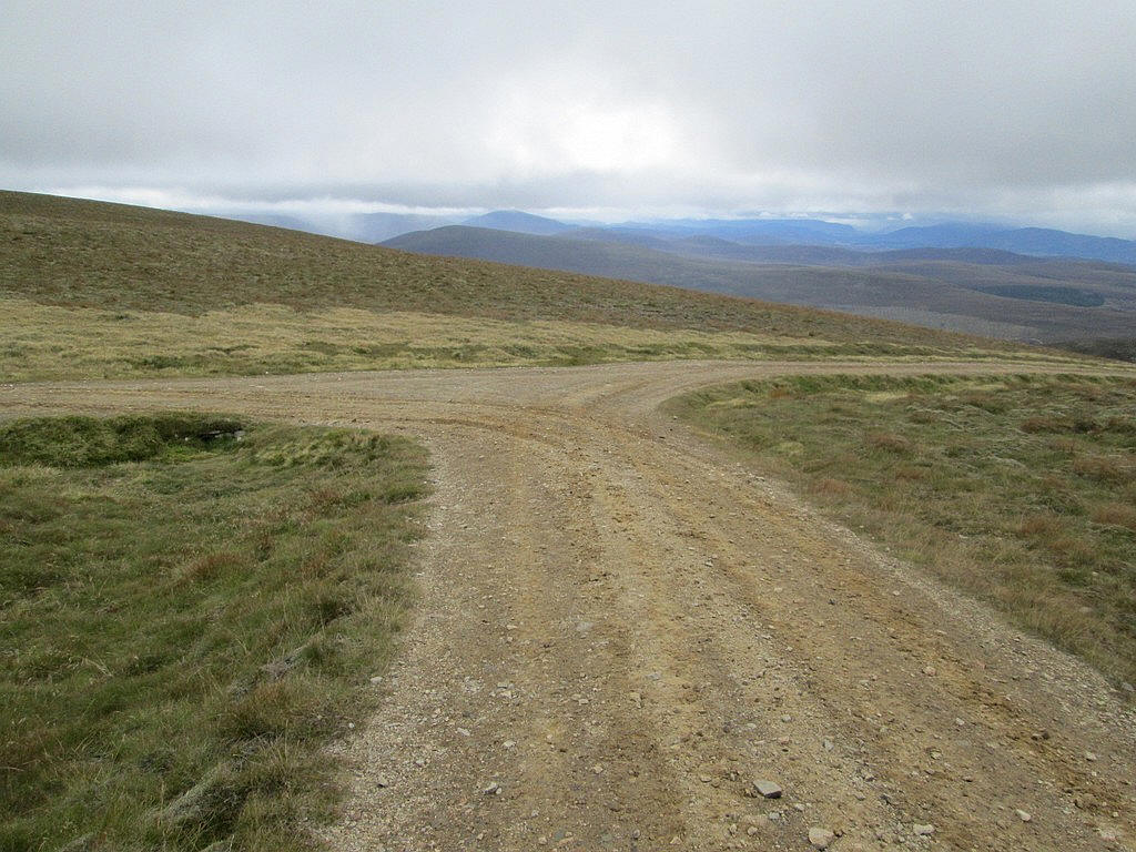
...a junction at about 980m. Turning left takes you to the hill, turning right is down into Glen Feshie which is the route I will take after going to the summit.
The vehicle track climbs up the rounded ridge of Mullach Clach a' Bhlair...
...to a cairn with a path that leads a short distance to....
...the summit cairn. Surely this is one of the most uninspiring of Munro summits!
The walk from Monadh Mor had taken just over 3 hours.
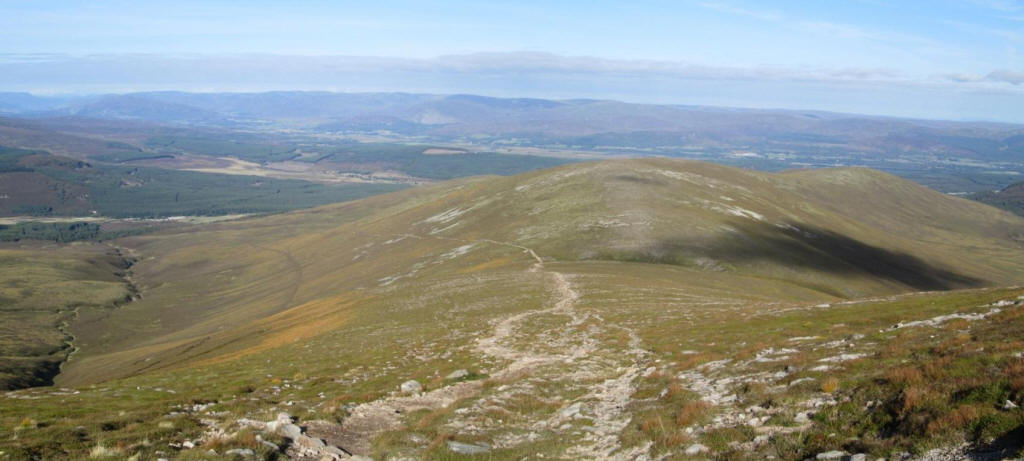
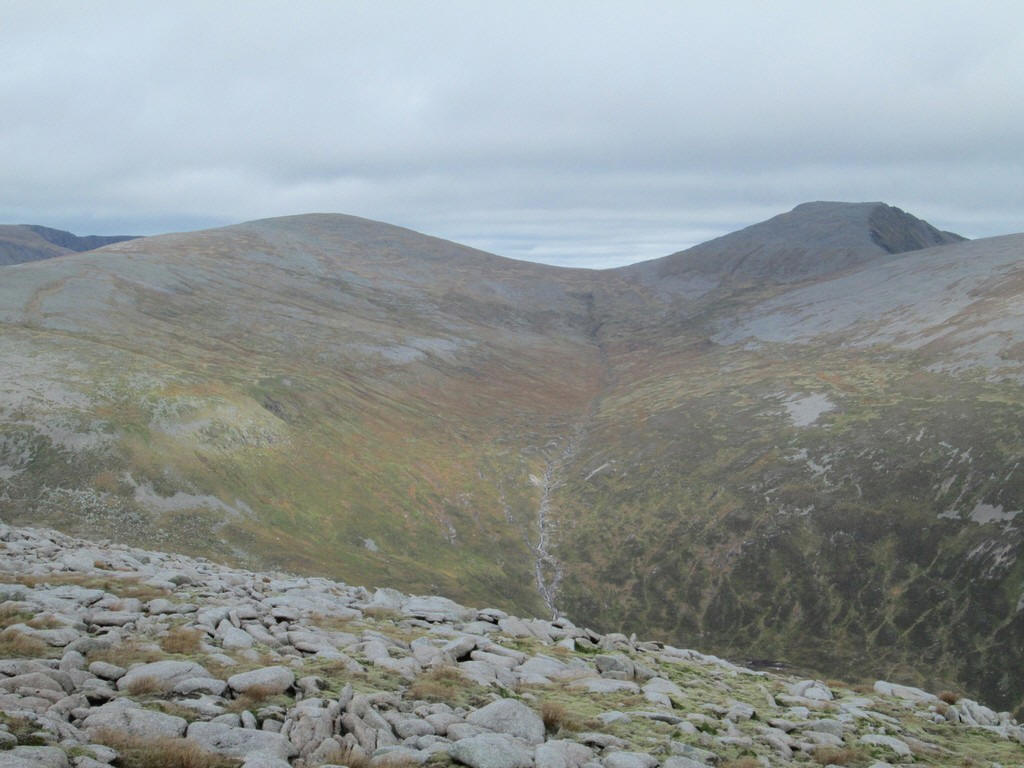
By this time the cloud base had lowered and most of the distant Munro summits were covered. This is the view looking from just below the summit towards Carn Ban Mor.
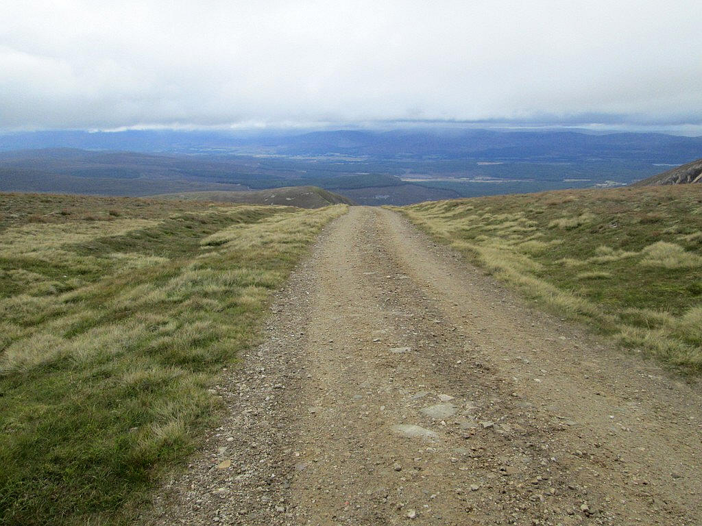
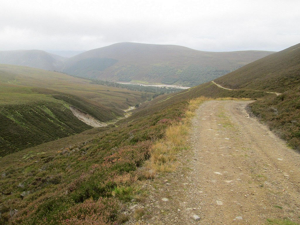
On taking the vehicle track down to Glen Feshie the first impression is that you are about to fall of the edge of the world...
...but it is the descent into Coire Caol and the adjacent Coire Garbhlach.
The initial section of the walk are quite spectacular with the 998m high Munro Top Meall Dubhag seen across Coire Garbhlach.
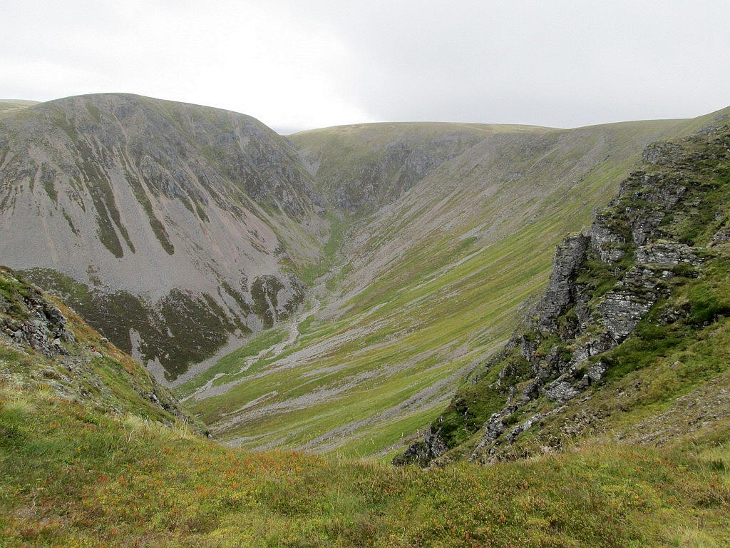
After a few hundred metres the vehicle track comes right to the edge of the upper part of Coire Garbhlach.
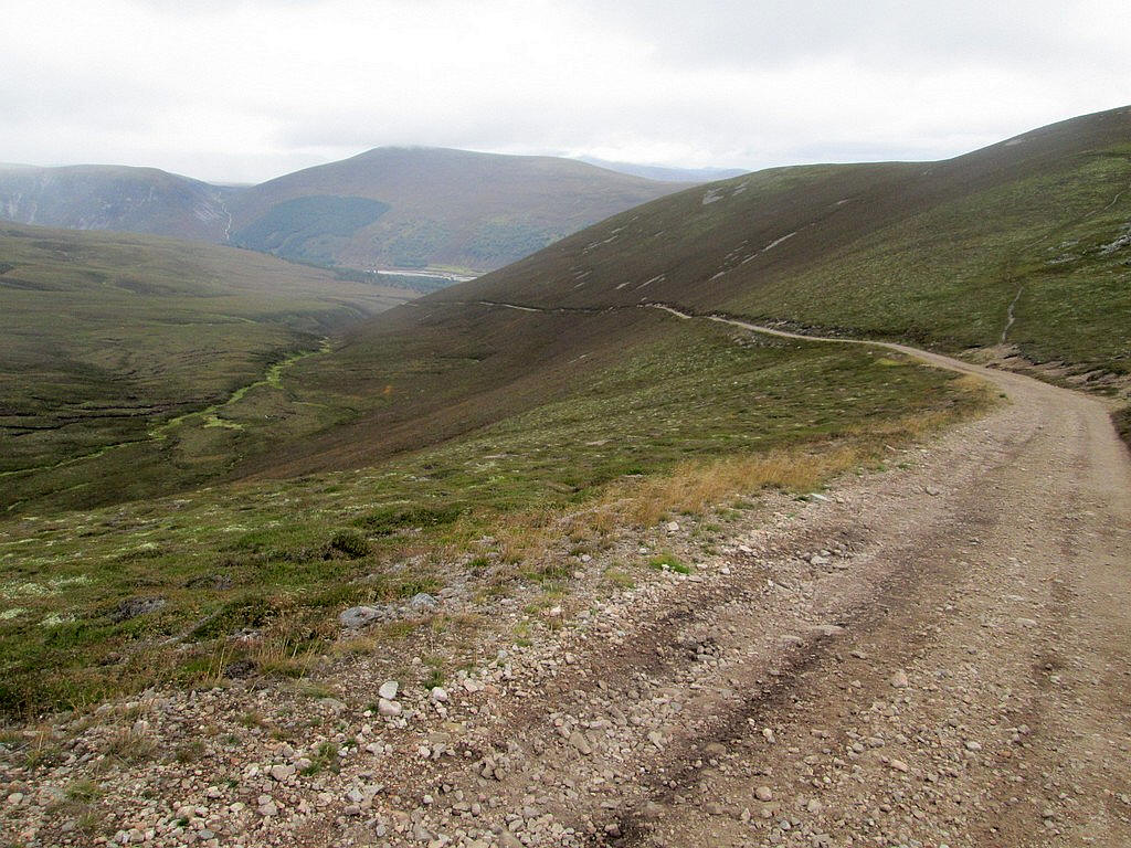
The track leads steadily downhill into Coire Caol but was surprisingly rough and it wasn't easy to walk as quickly as I'd expected.
Glen Feshie comes into view......
...and after about a walk of 2 miles from the track junction...
....the Glen Feshie valley track is reached.
I had some concerns about this section of the walk as I knew that the paths had been damaged in various storms in recent years. Shortly after joining the track evidence of this can be seen where the broad path has been destroyed. Fortunately, a diversion has been built for walkers.
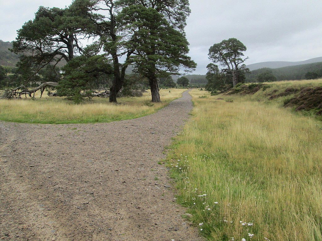
Beyond the damaged section the track continues through woods...
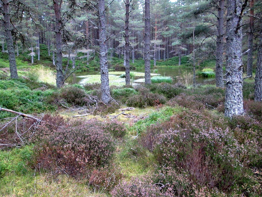
...and past a small pond among the trees.
Eventually the broad track ends and a footpath takes you down to...
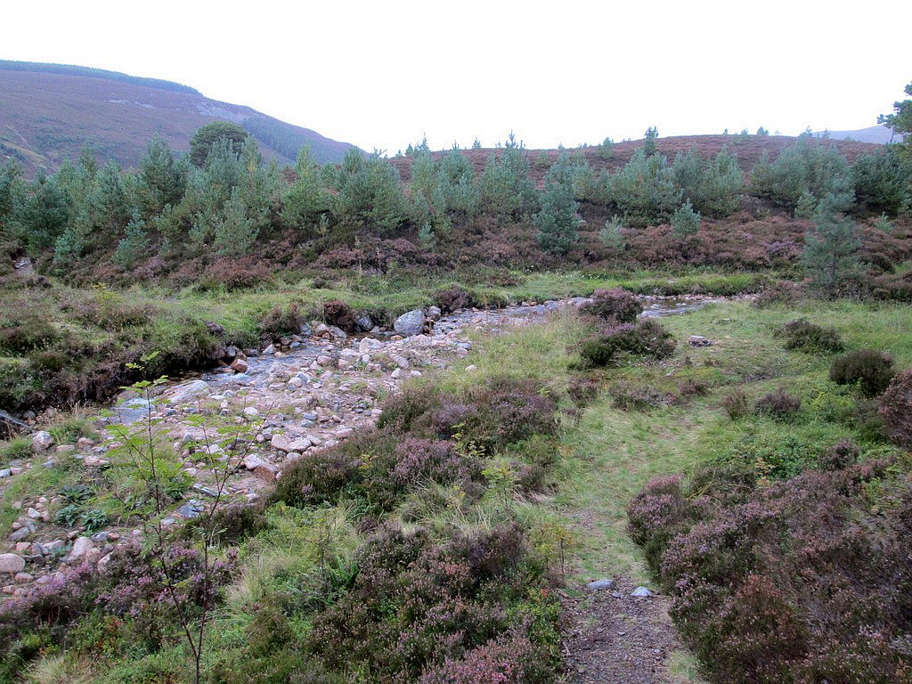
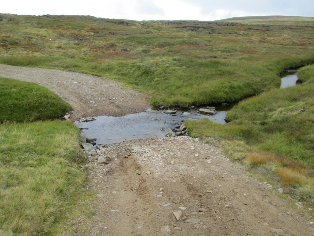
... the Allt Garbhlach which has to be crossed at a ford.
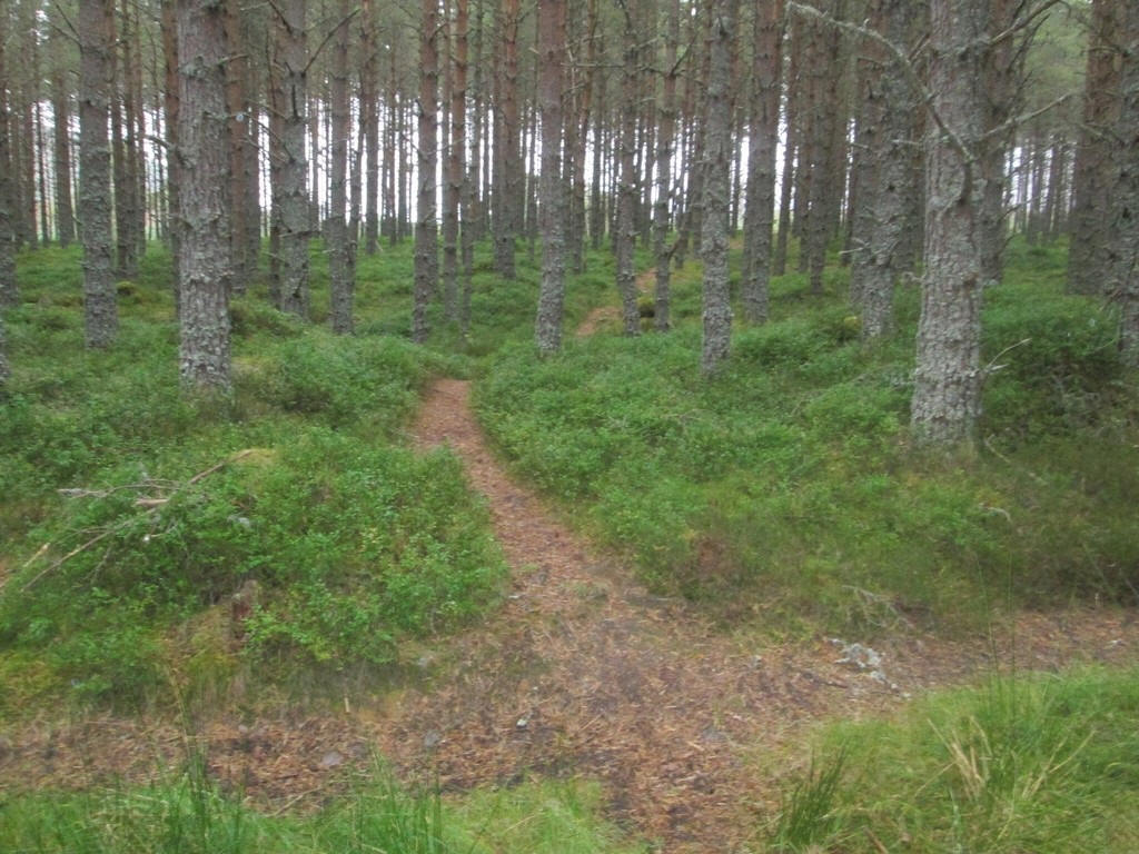
Beyond, the path continues through heather to reach...
...what is a junction which is obviously a new path. I suspect that this had started before the river crossing, as I had noticed a new path leading off into the woods earlier on.
There was one more ford to cross, the Allt Fhearnagan just before
....the path starts to climb through drumlins.....
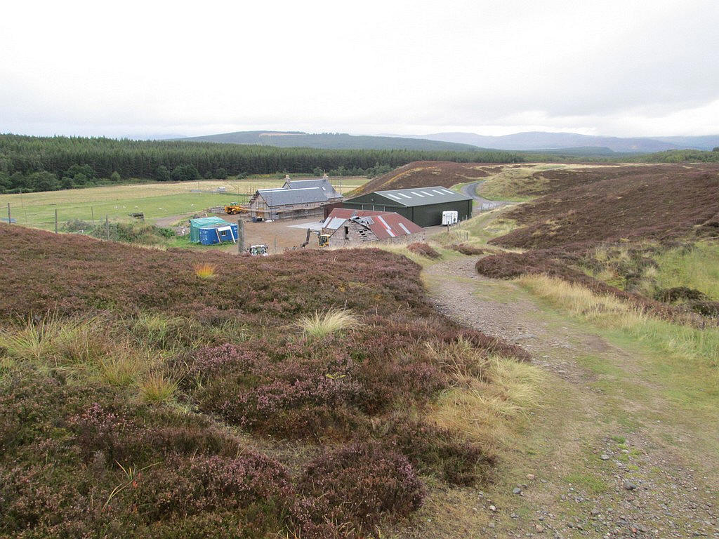
...to reach the farm buildings at Auchlean.
The entire walk had taken about 11 hours of which about 10 hours had been actual walking.
Completing these two Munros leaves me just 12 short of my target of 200.