Sgorr Dhearg and Sgorr Dhonhuill
The waypoints are taken from my SPOT GPS transmitter
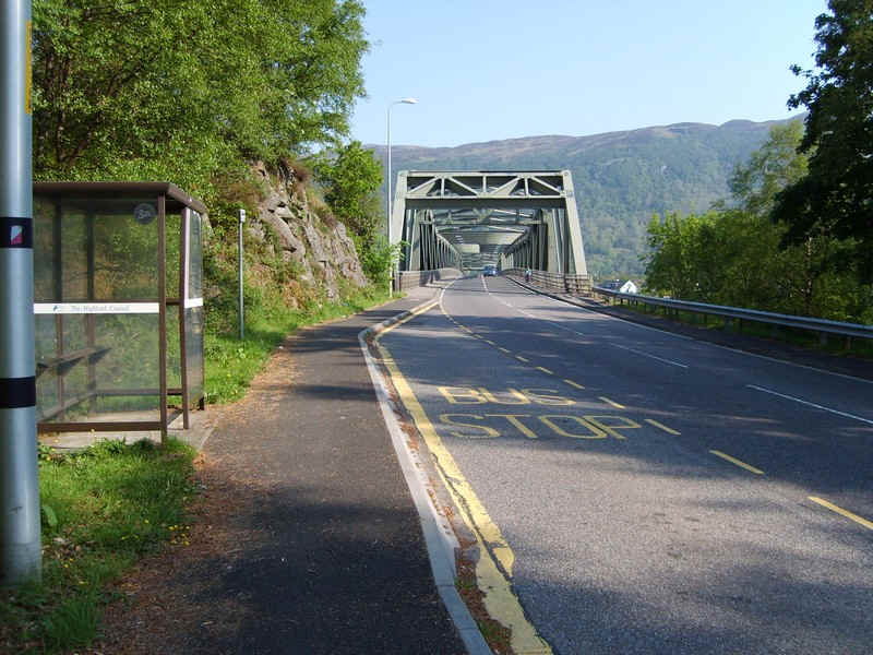
The last day of my holiday in Kinlochleven in May 2012 needed the local bus service to Fort William to get me to the starting point of the walk at South Ballachulish. As you can see there is a bus stop here - I was told that if you want the bus to stop in the opposite direction to stand on the pavement near the bridge where the driver will see you as he comes across the bridge!
A typically Scottish situation - a layby and shelter on one side of the road, but nothing on the other side and no safe place for the bus to stop!
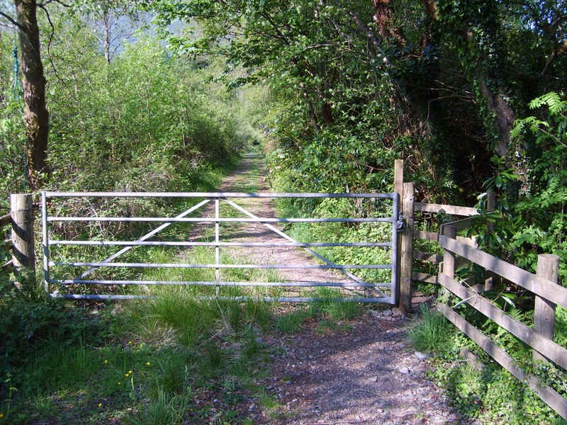
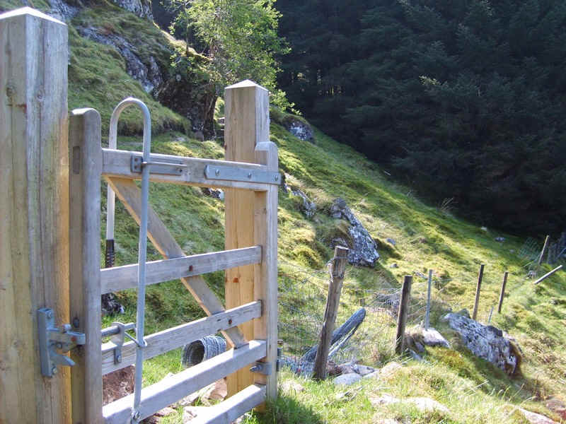
A short distance further back along the road to Ballachulish are this gate and stile and this track is followed for a short distance before branching off to the left.......
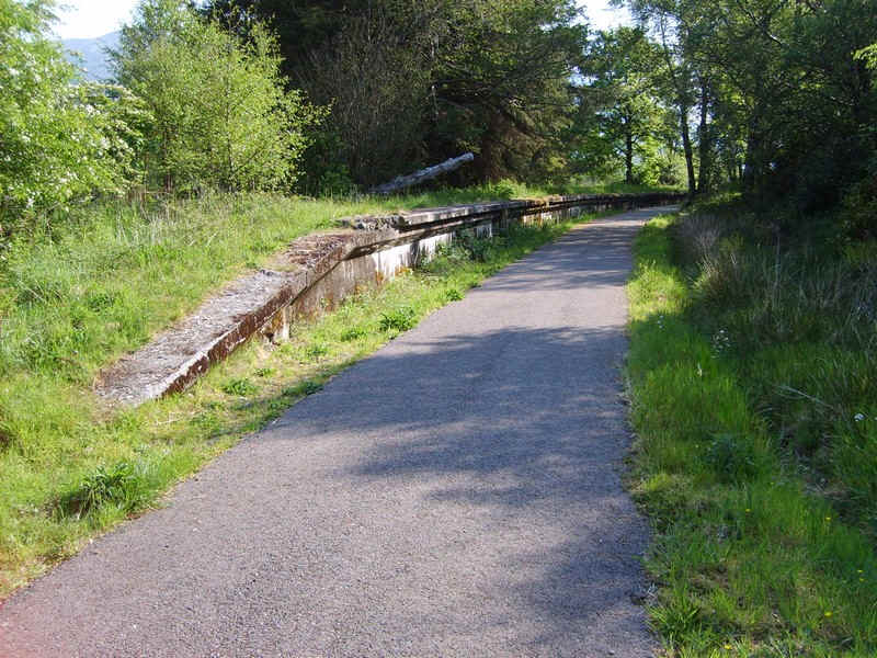
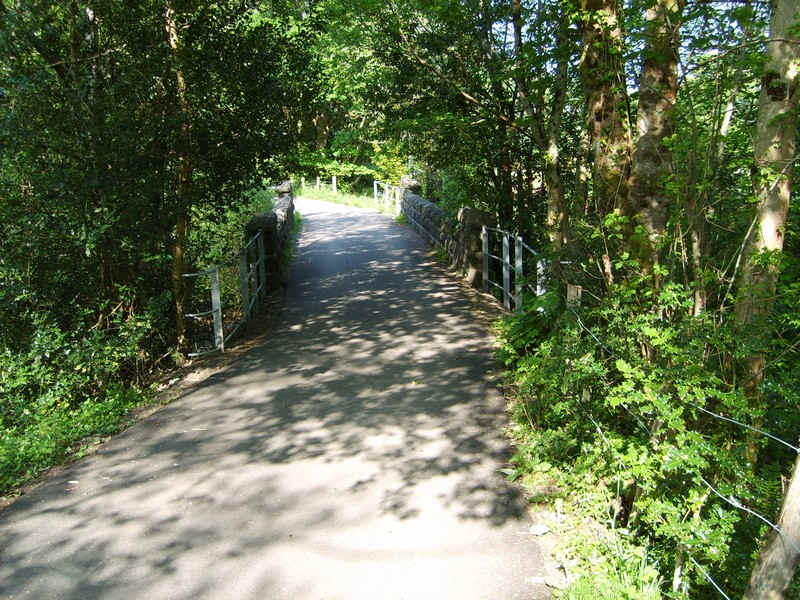
......to join the cycle way along the old railway line. The platform is still here nearly fifty years after closure.
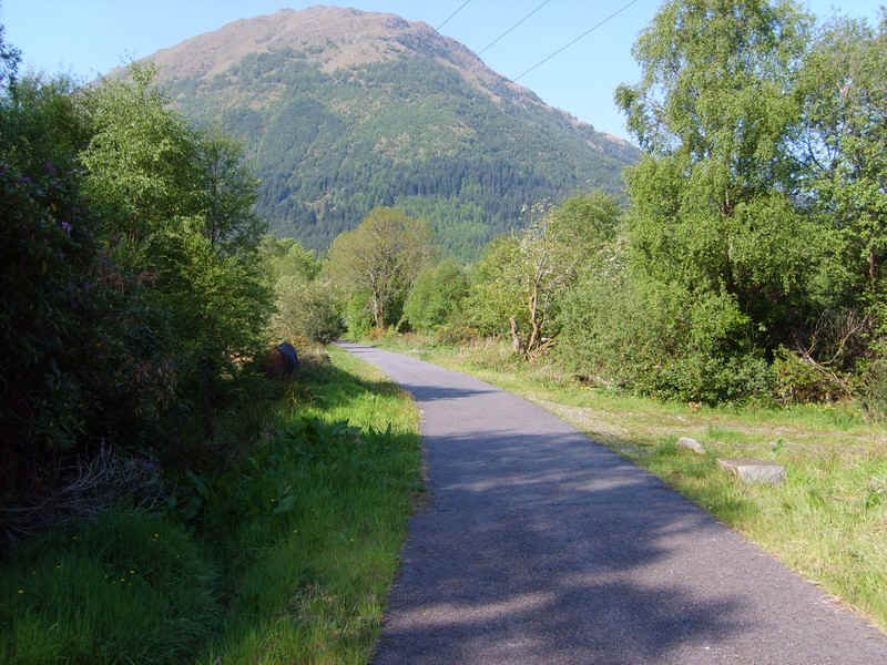
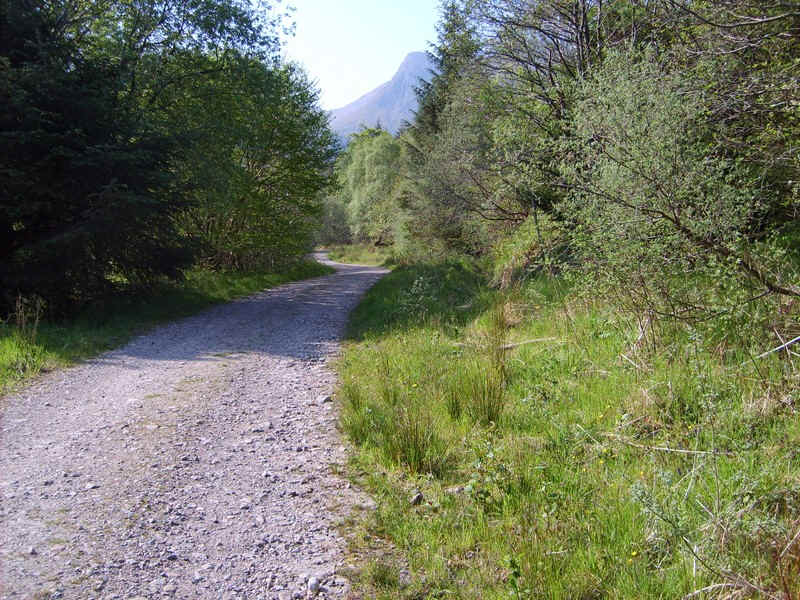
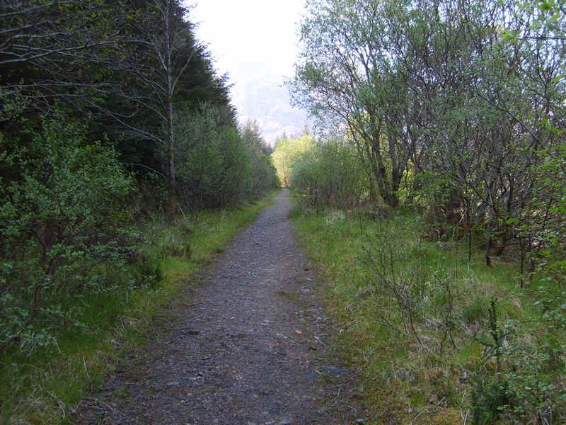
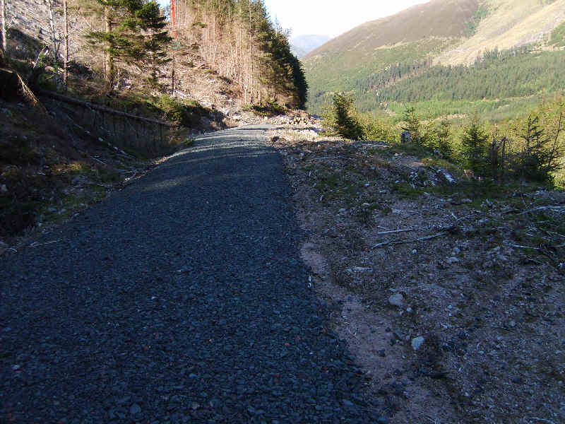
The cycle path is paved and makes for fast progress..
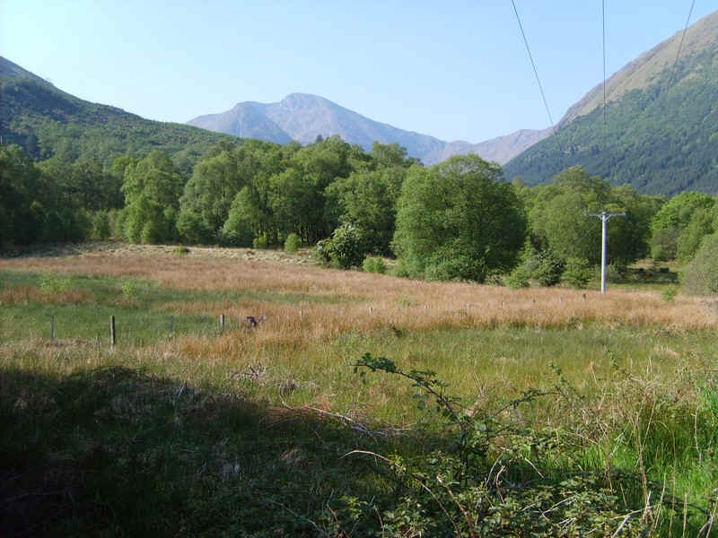
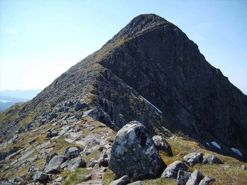
.....with the first view of Sgorr Dhonhuill.
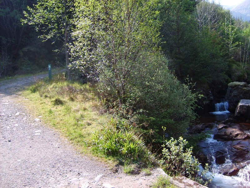
The path crosses the Abhainn Greadhain...
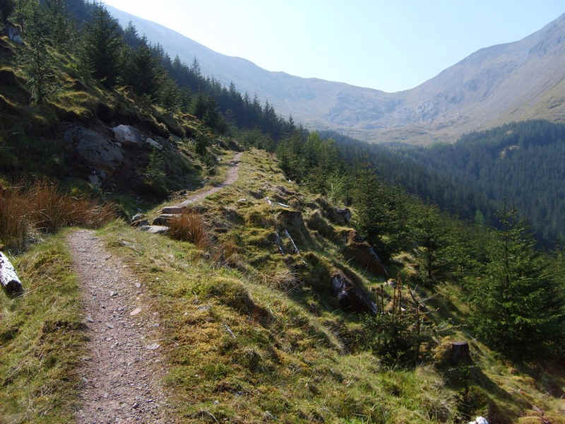
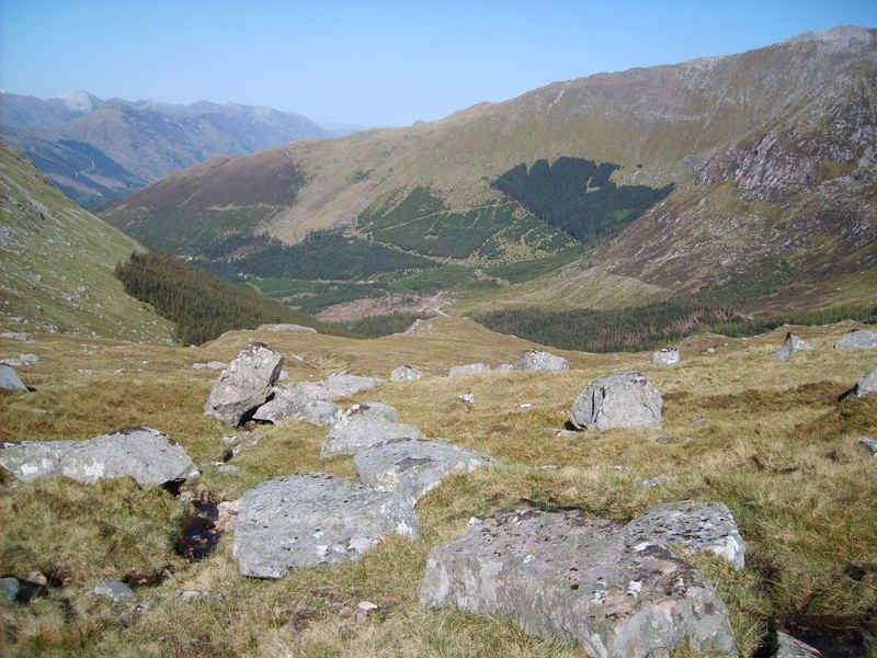
....and then the way to the hills turns off and heads up past the car park along the forest road into Gleann Chaolais.
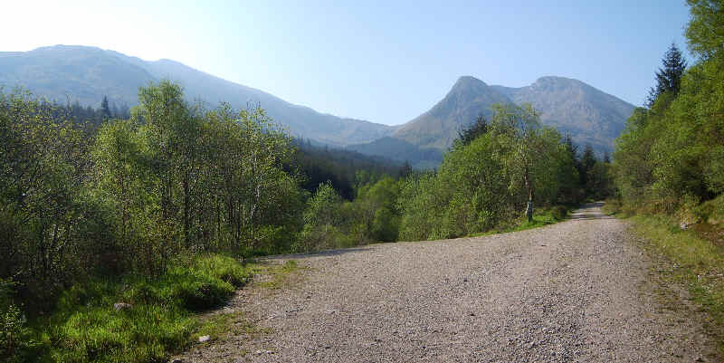
Both hills come into view with Sgorr Dhearg on the left and Sgorr Dhonhuill straight ahead.
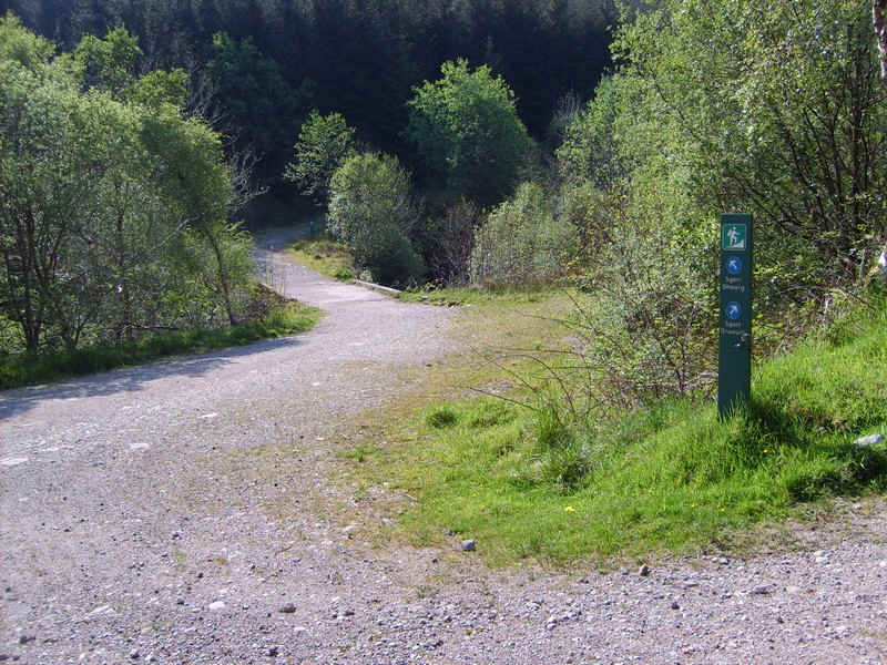
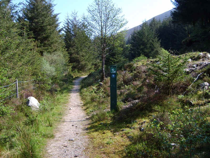
The Forestry Commission have put a lot of work into the paths through the forest and all are well signposted. You're left in no doubt which direction to go from this signpost.
Across the river and another sign points the way to Sgorr Dhearg.
This is a narrower path and...
...eventually doubles back on itself ...
....with more waymarks.
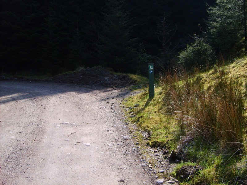
...and yet more.
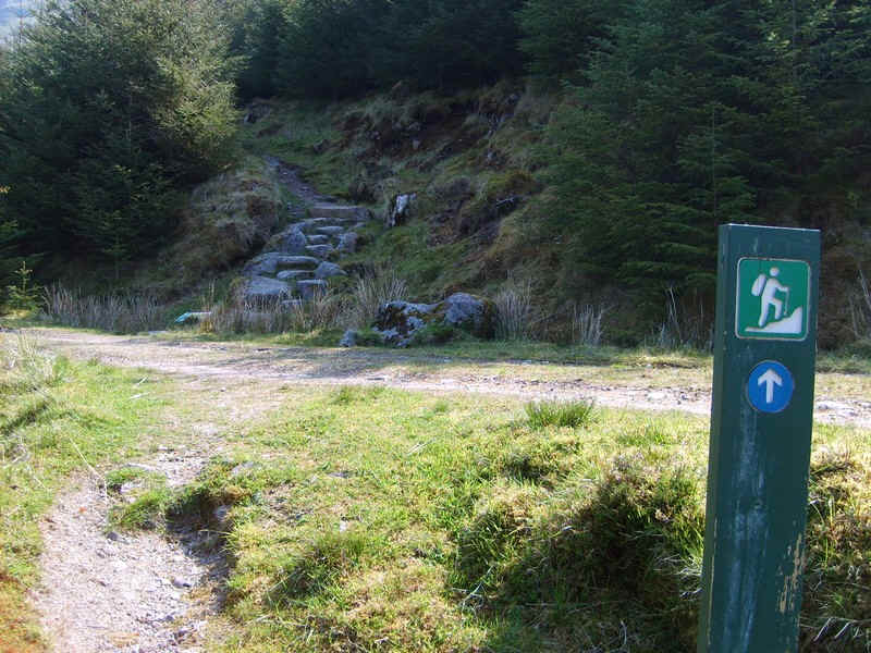
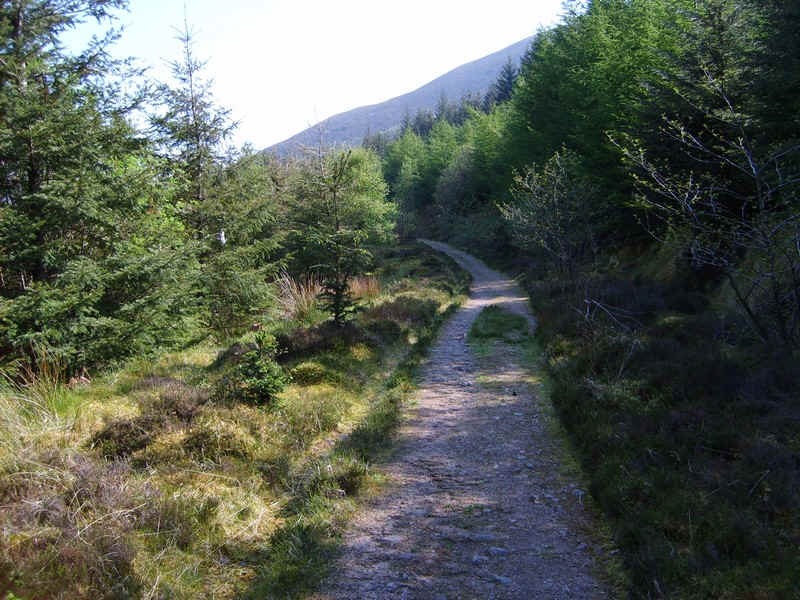
After reaching a vehicle turning circle the hill path proper starts....
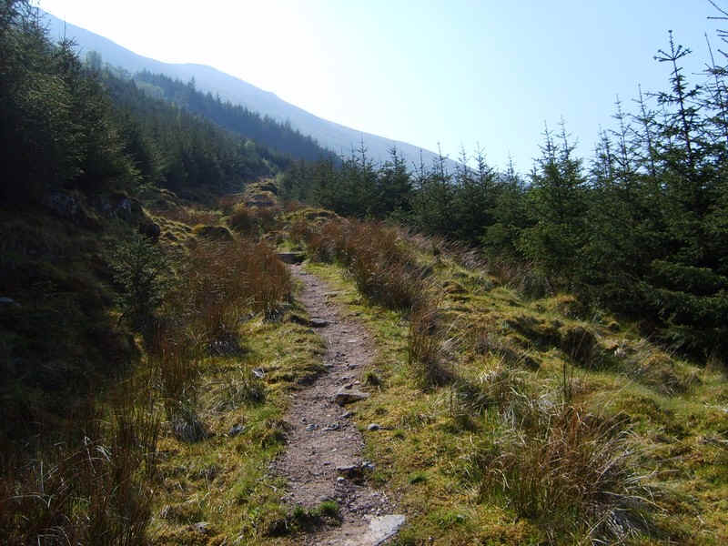
.....as it climbs steadily ...
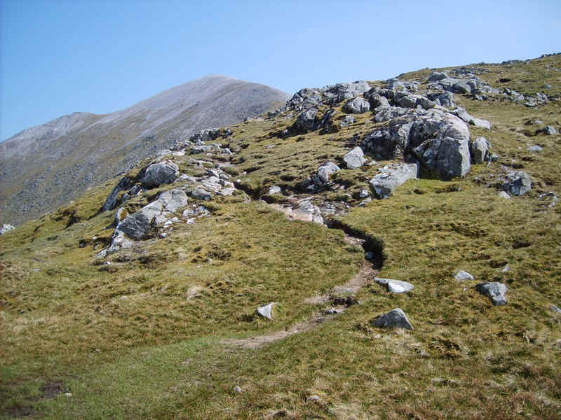
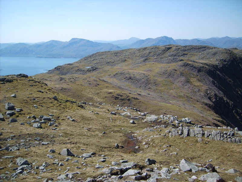
.....uphill with the coll between the two Munros visible.
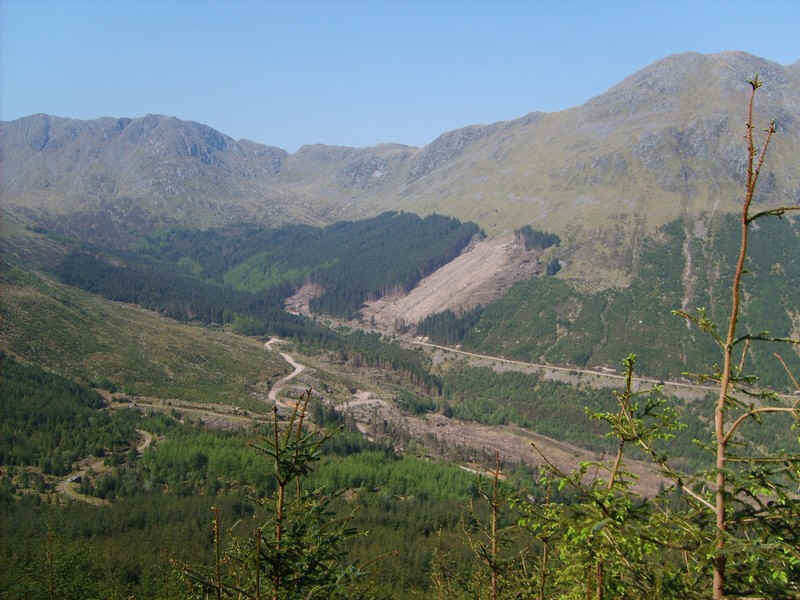
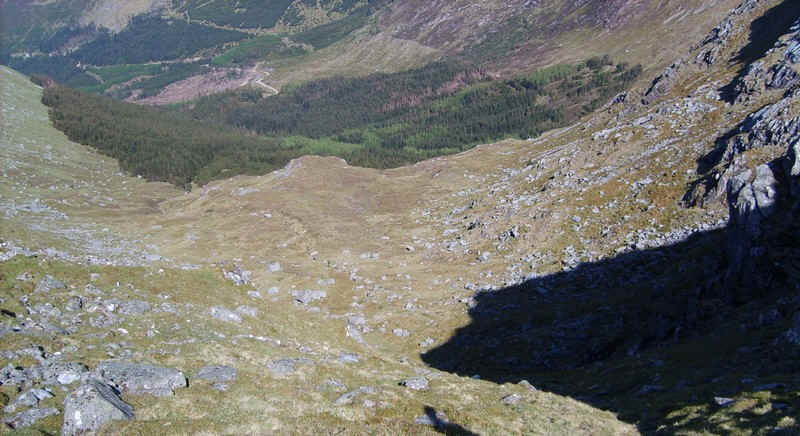
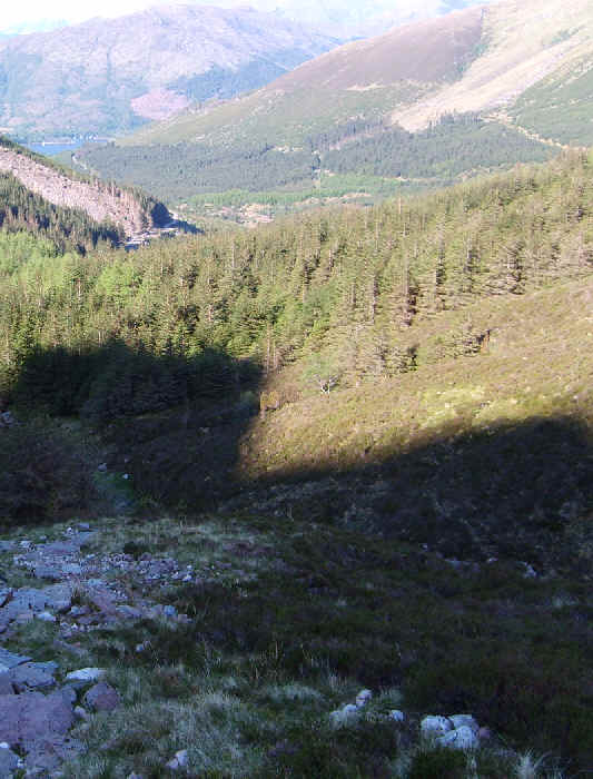
Over to the right is the way I intend to return from Sgorr Dhonhuill. The plan was to drop down from the low point on the skyline and join a new path through the trees to reach the main forest road.
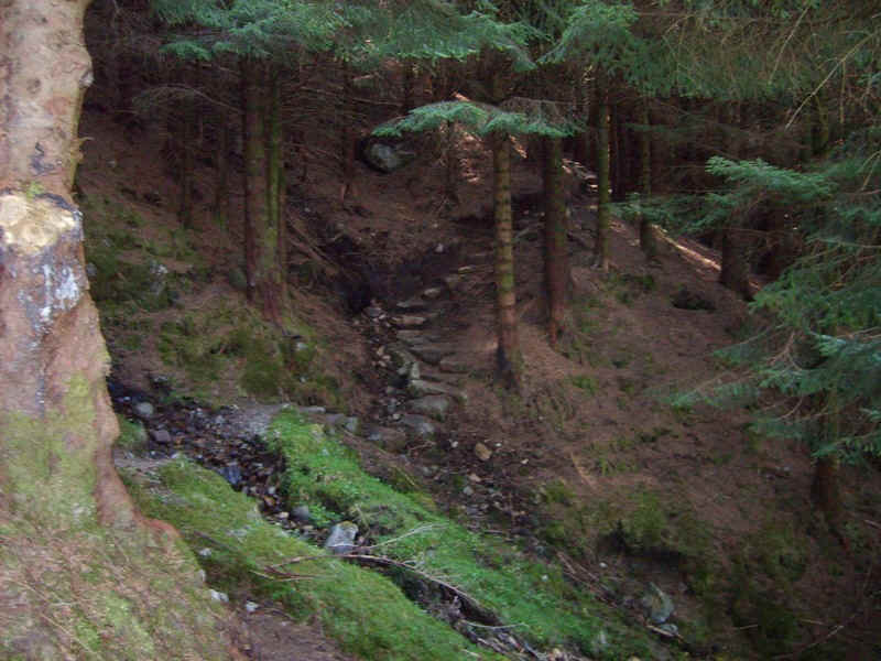
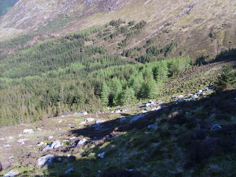
There were some welcome stretches of path through the trees - with temperatures rising it was pleasant to be in the shade.
The path exits the forest....
.....and climbs up along the hillside to meet....
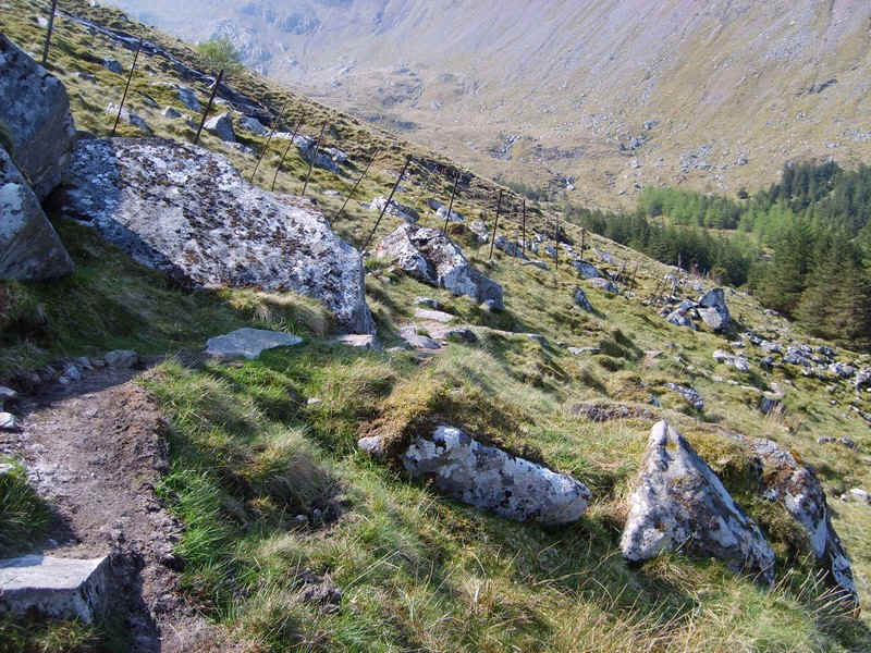
.....a dilapidated deer fence.
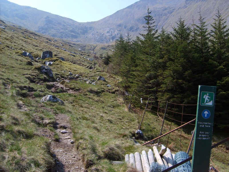
The final waymark post asks the question, "Are you properly equipped".....
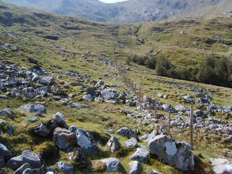
From now until reaching the col between the two hills, the fence posts are followed.
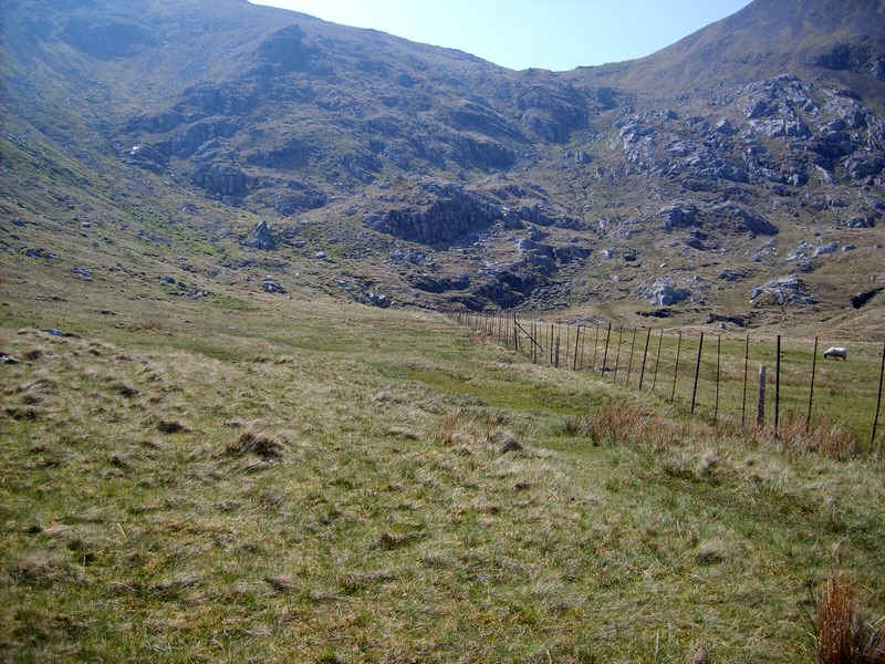
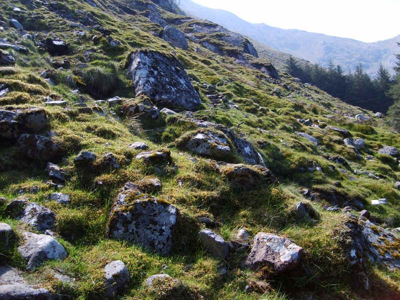
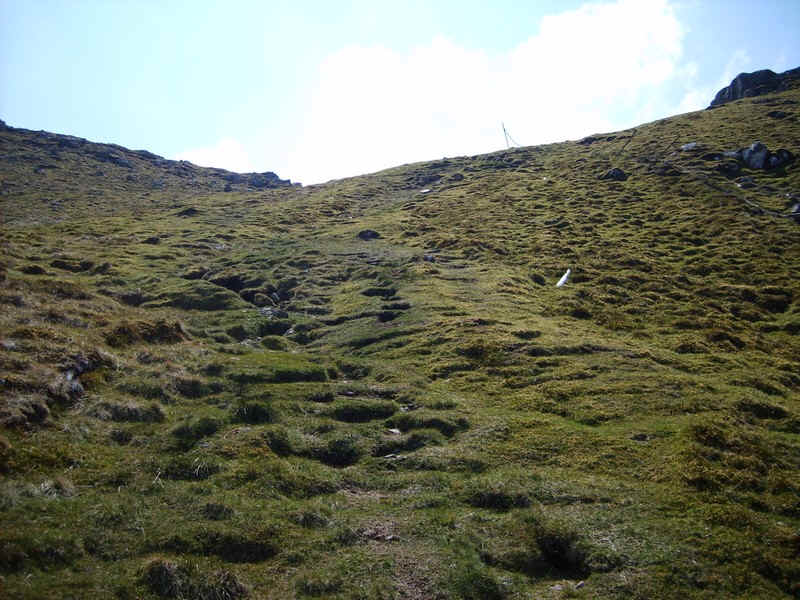
In places it's rather marshy but it's a pleasant enough walk up into the corrie.
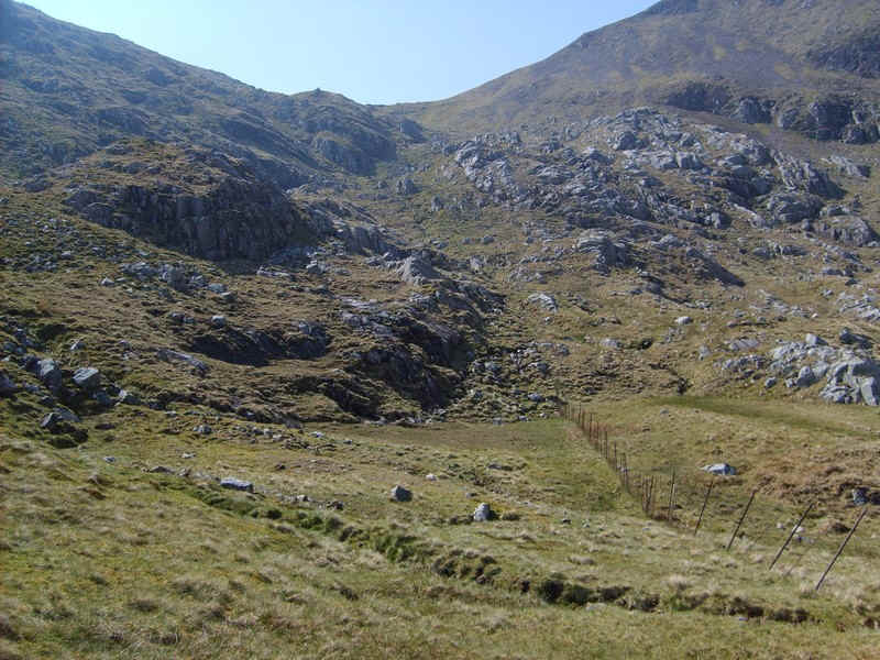
Eventually, the headwall of the corrie is reached and there's...
... a steep climb uphill avoiding all the bits of fence wire and broken posts lying around. This must be a nightmare in snow conditions.
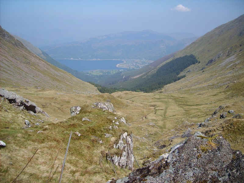
Looking back down towards North Ballachulish and the narrows between Loch Leven and Loch Linnhe.
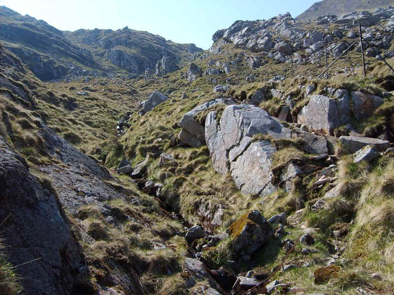
The coll is in sight and there are still a few fence posts standing.
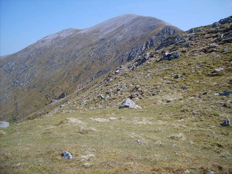
At the coll Sgorr Dhearg lies to the east...
....and the lower slopes of Sgorr Dhonhuill are to the west.
Beyond the coll lies Glen Duror and the hills in Appin.
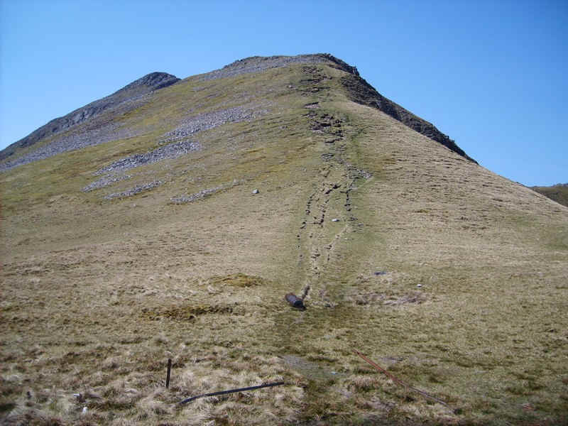
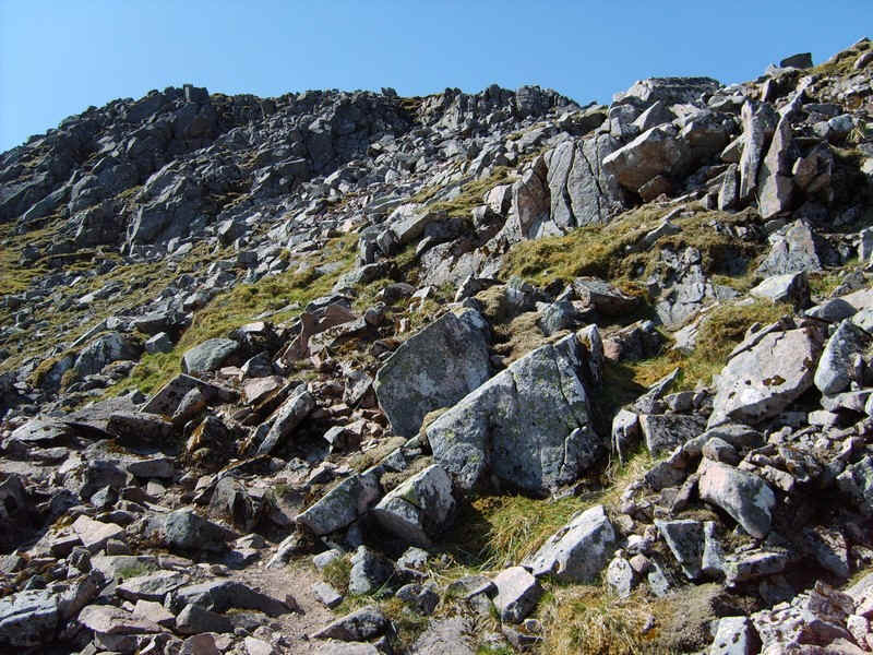
A clear path l;eads uphill...
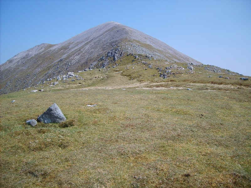
....initially over grass...
...and then more stony.
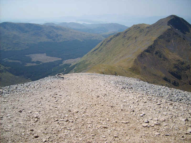
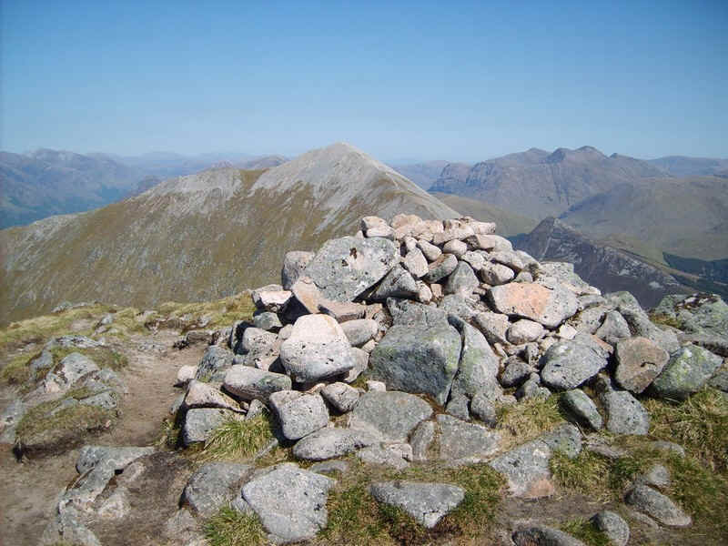
The summit cairn of Sgorr Dhearg.

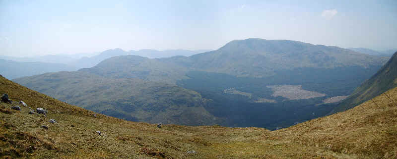
Click on the photo to see a larger panorama. Loch Leven looks amazingly blue whilst the long scree covered ridge down to Ballachulish village over Sgorr Bhan dominates the foreground. Beyond are the Mamore and the hills around Glen Coe.
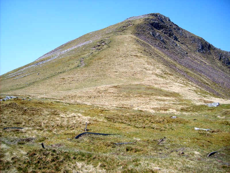
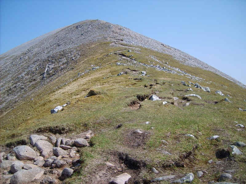
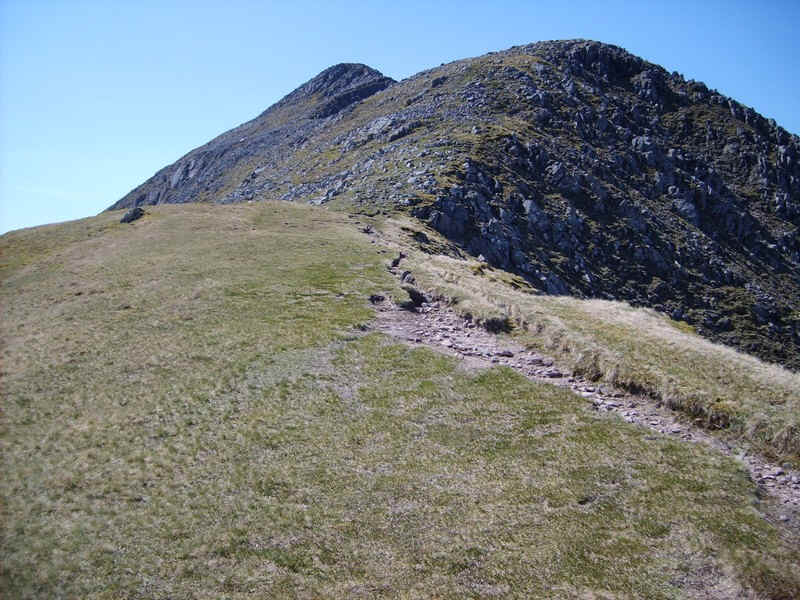
After a lunch break it was off down the stone covered slopes...
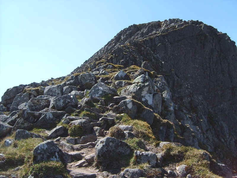
....and up the eroded path towards Sgorr Dhonhuill.
As the hill came closer I was undecided once again whether I'd make the summit as there is one section where the path is very exposed. Some guide books suggest that it can be avoided by climbing over the boulders on the ridge.
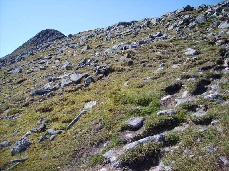
The path winds round the side of the ridge to gain height..

Click on the photo for a larger image showing the Glen Coe and Glen Etive hills to the east - Bidean Nam Bian is over to the left in the distance but what the rest are I'm not sure.
Oh crikey!!! This has to be one of the most intimidating hills I've climbed with the large drop into Coire Sgreamhach on the right.
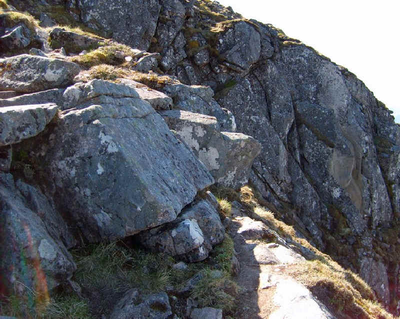
Of course, there is a track through the rocks..
....which inevitably splits into numerous sub-paths through the boulders.
Suddenly, the path shoots off to the right and stops at this point above a very big drop. I tried to take a photo of the drop but it didn't look anything like the real thing of course. However, there are plenty of firm rocks for foot and hand holds and the exposure is over in a matter of a few metres. Nevertheless, I don't think I'd have had the nerve to think, "Up you go", a few years ago. Coming down would be much more nerve racking as then you could see the drop!!
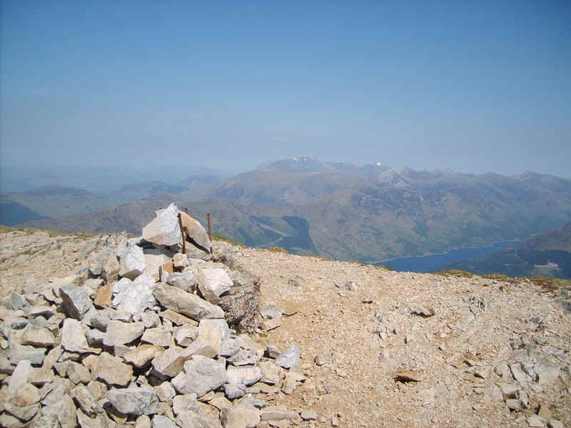
The reward was this, my 118th Munro summit cairn. At this point who should appear behind me but another walker who was going back to Ballachulish the same was a me so, for once, I had company on the hill for the next few hours.
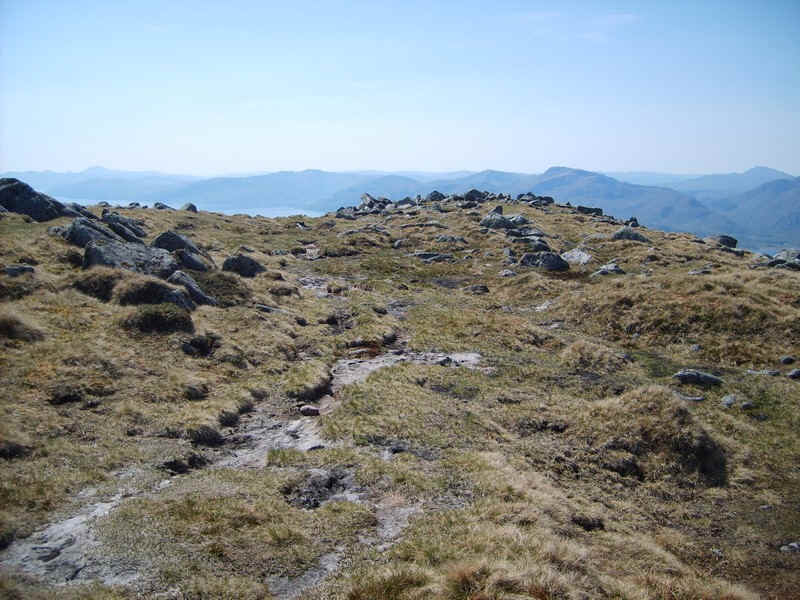
From the summit, the way I decided to go down heads around Coire Dearg first westwards and the tending towards the north west. There are some sections of clear path to start with but in most places it is without any.
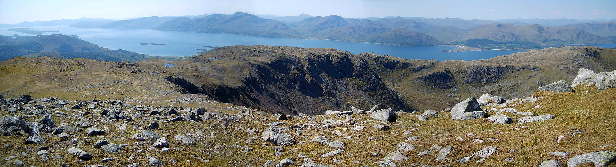
Click on the photograph to see a larger image which stretches from Mull on the left round to Loch Linnhe and Morven beyond.
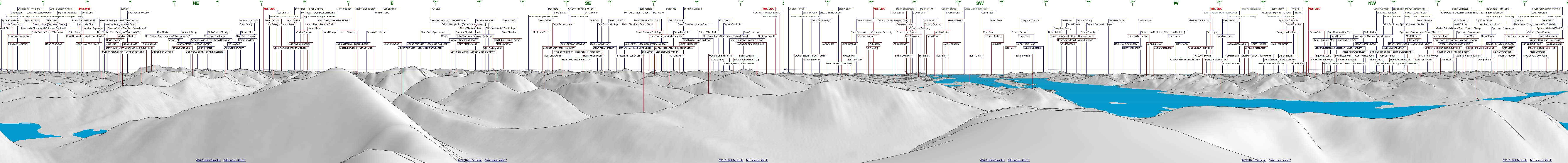
Click on the image above to see the full 360 degree panoramic diagram
The way forward follows a slow descent with occasional rises.
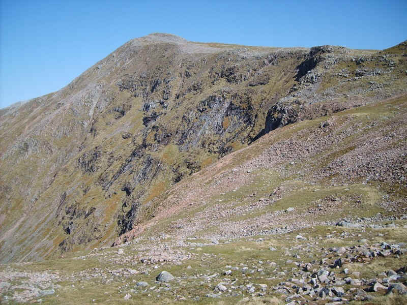
The north west face of Sgorr Dhonhuill.
There are various possible routes of descents into the corrie but the easiest is to continue...
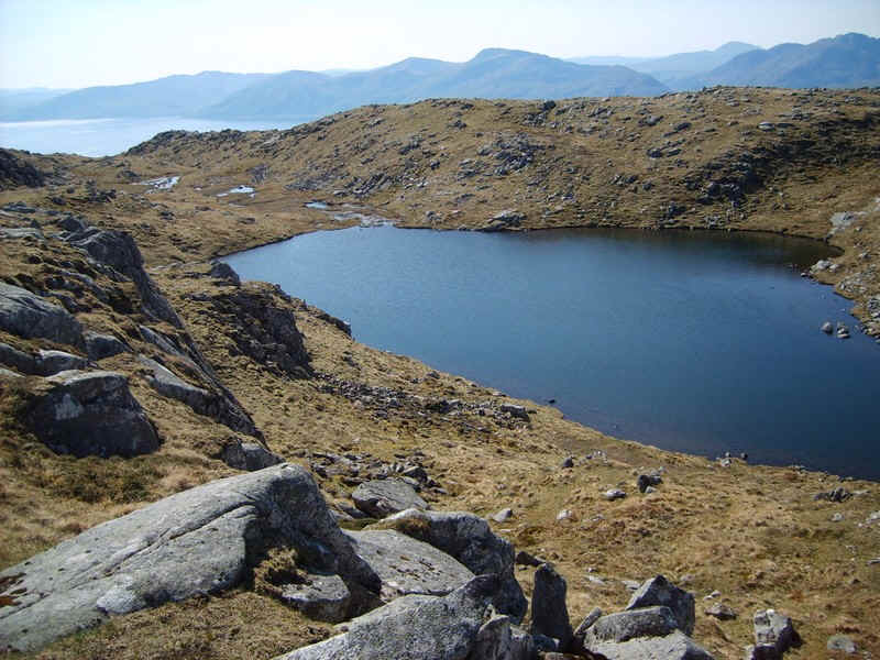
.....heading around the corrie passing several small lochans
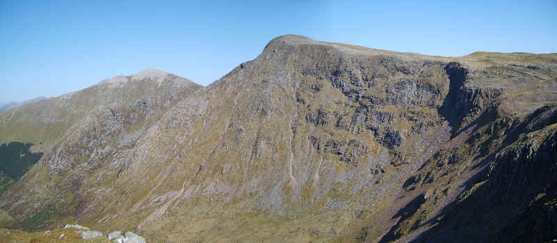
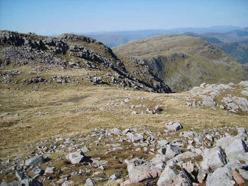
Another view of the two Sgorrs.
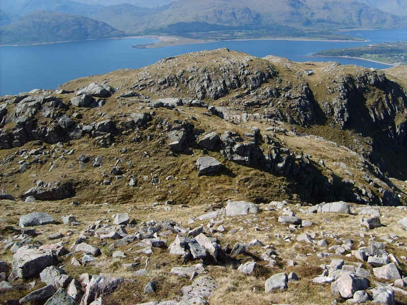
In places the ridge is quite rocky and...
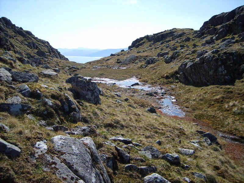
....just before the point 759m on the map there is this curious depression across the ridge - a possible glacial overflow channel? As can be seen on the map there's a stream that drains westwards and has cut back almost to the face of the corrie.
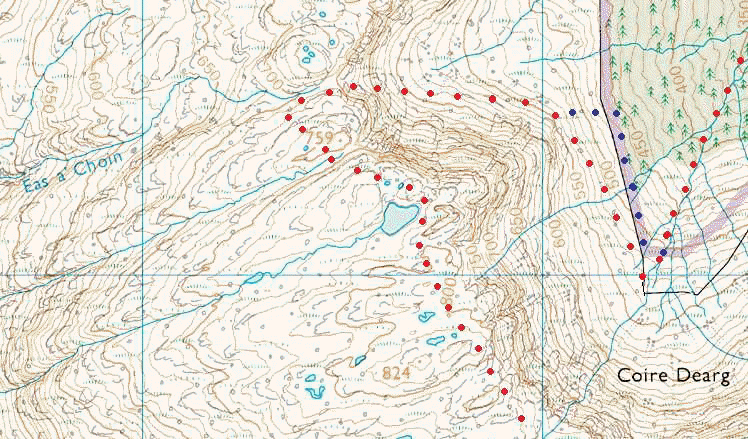
The red track on this map shows the route I intended to take - the blue track shows where I actually walked by mistake (see later).
Just beyond point 759 there is a way down over grass into the corrie. (NN 025565) At first it's steep....
.....but then the gradient eases...
...as the edge of the forest is reached. Unfortunately, at this point I was distracted from paying attention to my GPS by my companion and came down to the forest edge too soon and ended up thrashing about along the top edge of the forest for about twenty minutes. The new path starts at about NN023560 but...
.....we joined it a little further down.
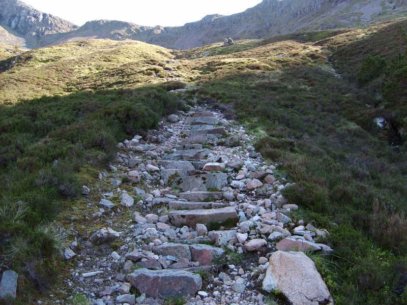
Once on the path good speed can be made, although there are plenty of tricky stones and even worse lots of tree roots to avoid so concentration is definitely needed.
Eventually, the path joins the main forest road, which leads back to South Ballachulish.
The walk had taken about 9 hours including several quite long breaks.