Spidean Mialach
(one that got away!)
In 2018 I'd driven up the long single lane road from near Invergarry to Loch Quoich and climbed Gleouraich but weather conditions and lack of time I didn't go on to climb Spidean Mialach as well. So in June 2019 I returned although I wasn't too hopeful given the very poor weather conditions.
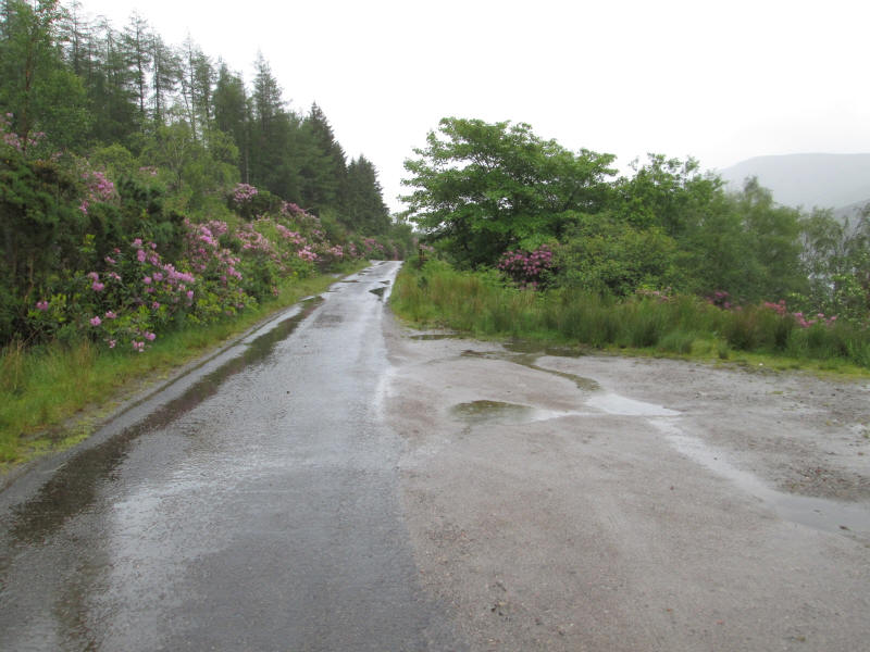
There is space for about half a dozen cars near the start of the walk and a few hundred yards back down the road...
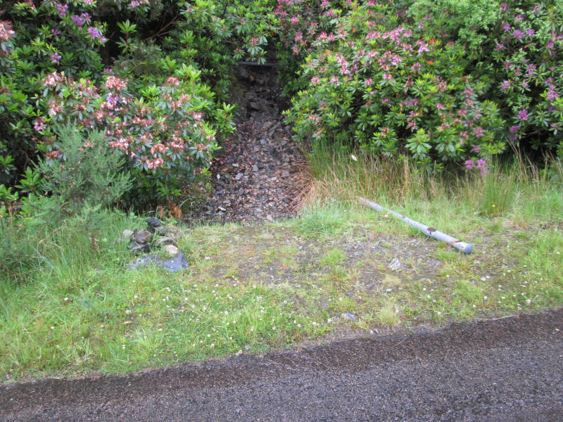
..the start of the stalkers' path (at about NH 029030) is marked by a metal post on its side and a small cairn.
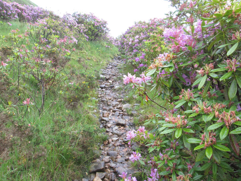
The track goes up through the rhododendron bushes...
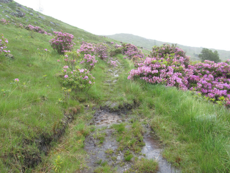
...to reach the open hillside...
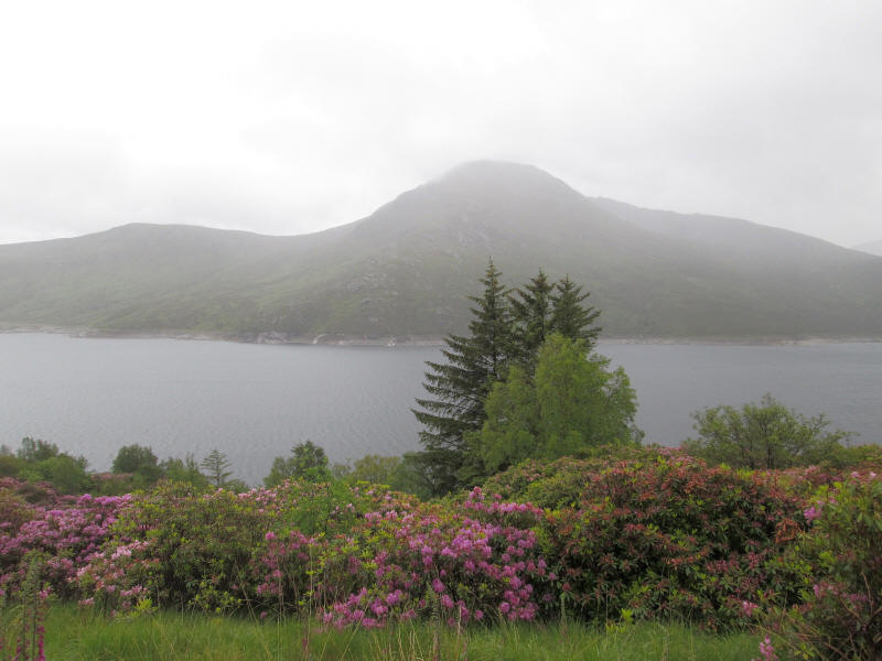
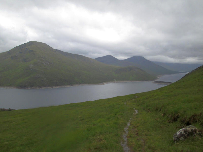
..and across the Loch is the Munro Gairich.
The path continues climbing gently below Meall nan Carn.
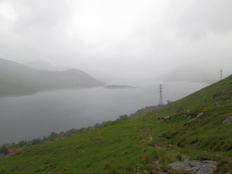
A view back over the loch shows more wet weather arriving.
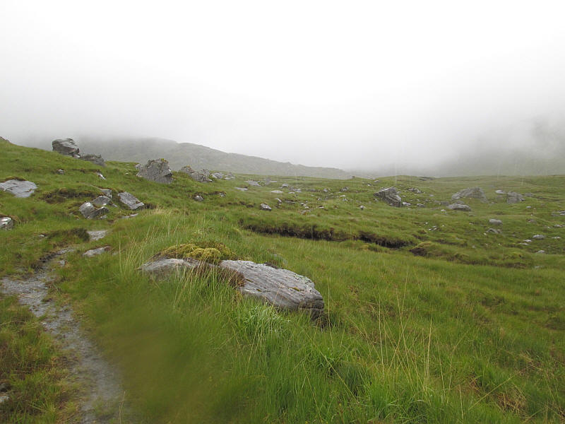
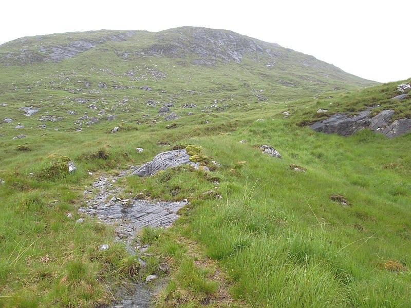
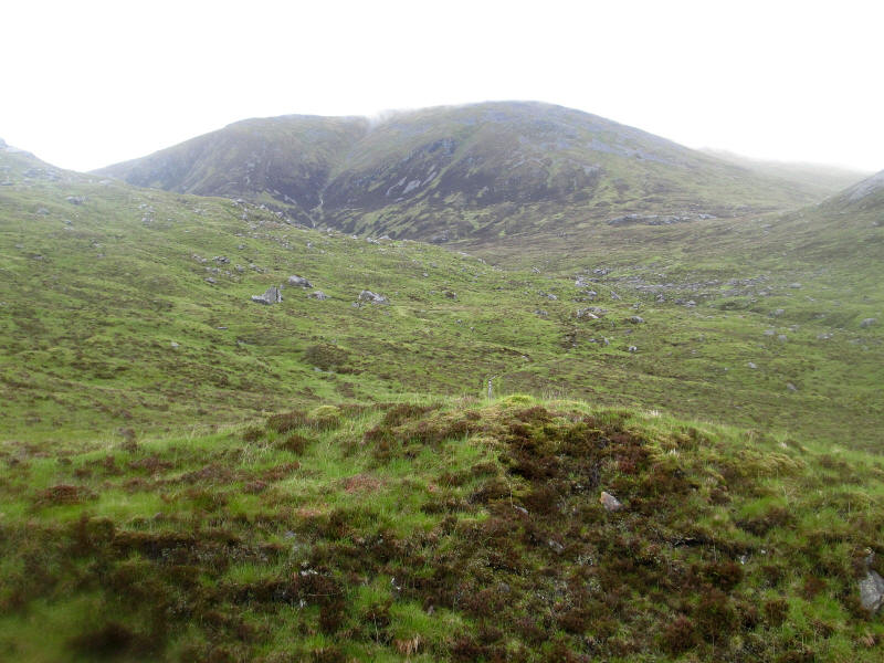
As the path reaches the relatively level section at the bottom of Coire Mheil there's clearly going to be no view of the hill yet.
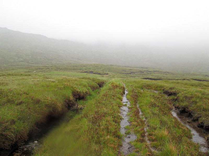
However, the path is clear and I'm still not too concerned.....
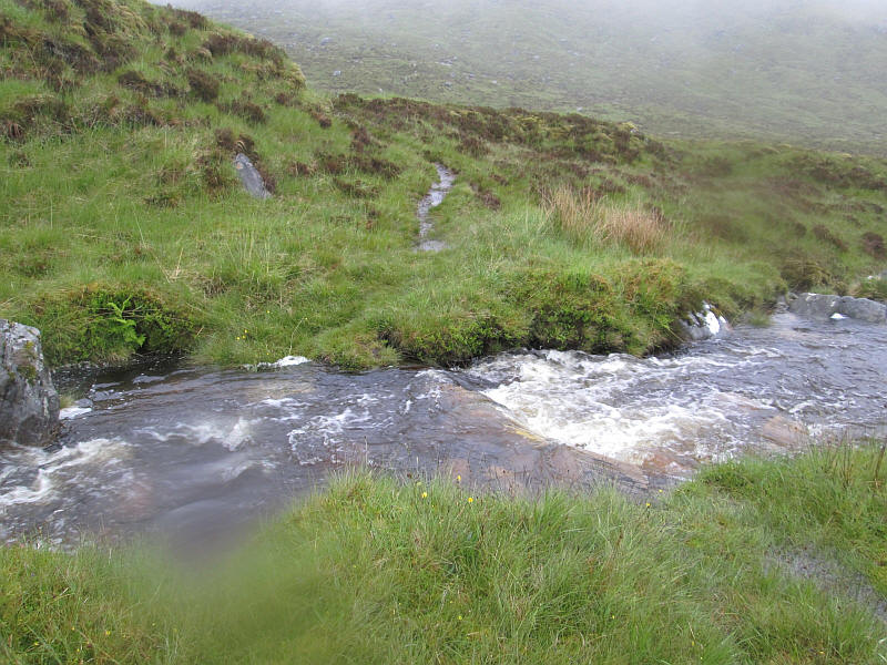
....but that changes as I come to the ford at the Allt a' Mheil where the water is deep and flowing rapidly. I walk up stream and find a safe place to cross although I do get a wet left foot.
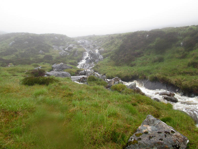
However, as I approach the second branch of the Allt a' Mheil I can hear roaring water and I'm confronted by a stream that looks to be too dangerous to cross especially as I'm on my own. Turning back I realise that it's also not safe to cross the first stream as the banks from this side make it difficult so I climb nearly a kilometre uphill before I find a spot where the water is calmer.
As I return the slopes of Spidean Mialach briefly lose their cloud cap.
A final look at the hills around Loch Quoich.
So Spidean Mialach joins the (admittedly small) list of hills that I will need to return to, hopefully in better conditions.
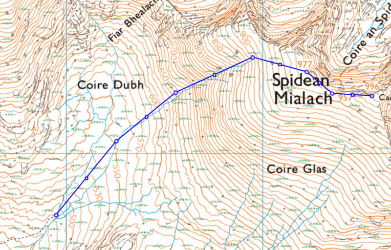
Hindsight is a wonderful thing but I wonder if a different approach to climbing the hill would have worked.
My planned route from crossing the Allt a' Mheil is shown below.
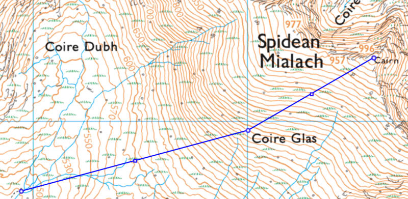
However, if I had followed the stream uphill to about the 900m contour and then approached the summit from the west would I have succeeded in overcoming the problems. However, the contour lines do look rather steep.