Stob Ban (Grey Corries)
Back in June 2011 I failed to climb Stob Ban due to running out of time when I walked from Glen Nevis across the Grey Corries to Spean Bridge.
In October 2013 I returned to climb this hill which was the only Munro I hadn't climbed in the Fort William area. This meant that I had to do a long walk in and out to the foot of Stob Ban; that's eight miles in from Spean Bridge and 8 miles back. Fortunately, it's quite a pleasant walk and has the advantage that you've already climbed 380 metres of Stob Ban's 977 metres without really noticing it as the gradients are gentle. The walk in to the bothy near the bottom of Stob Ban took me just under three hours, with the return downhill walk took exactly two and a half hours.
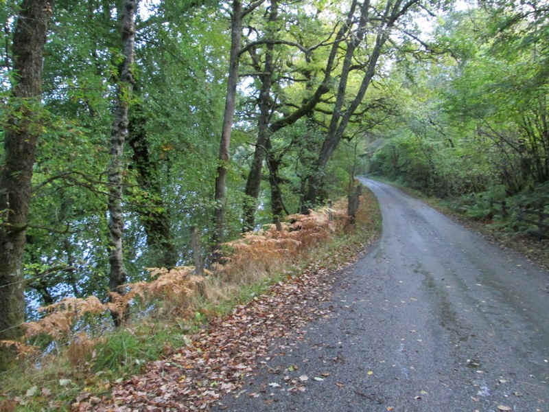
The start out of Spean Bridge takes the road towards Killiechonate by the River Spean.
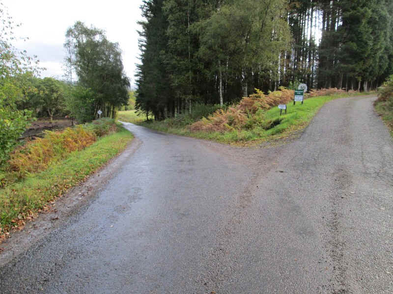
At the junction for Killiechonate the left fork is taken....
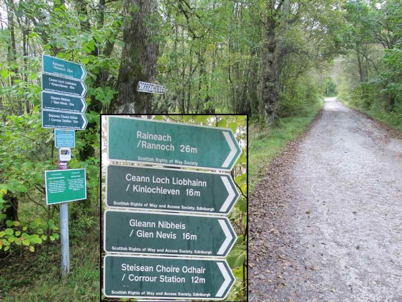
... which leads towards the beginning of the hill tracks near Coire Choille Farm. The inset gives an idea of the range of destinations possible by using these old drove roads.
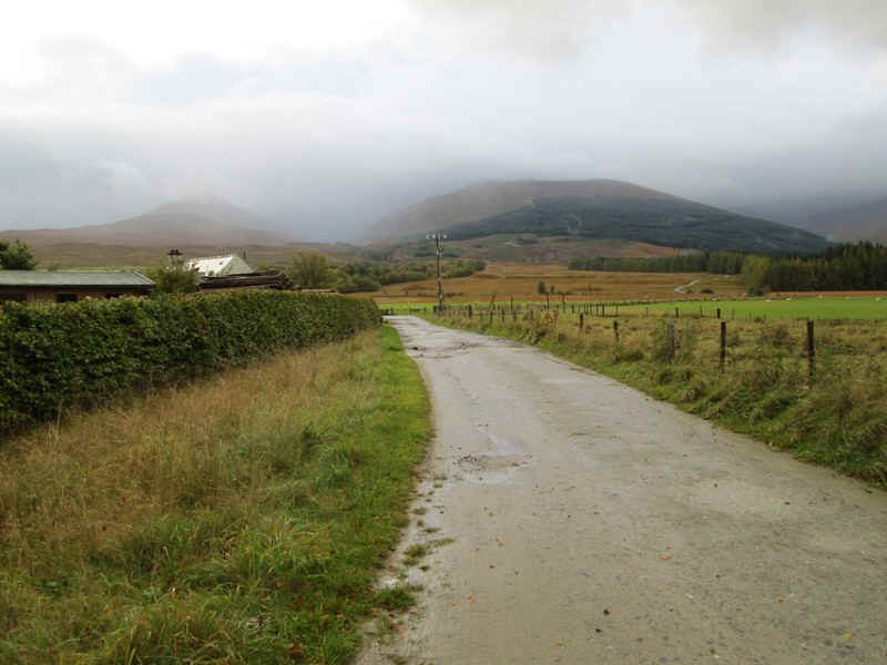
At Coire Choille Farm the hills come properly into sight although on this October day there weren't going to be many views.
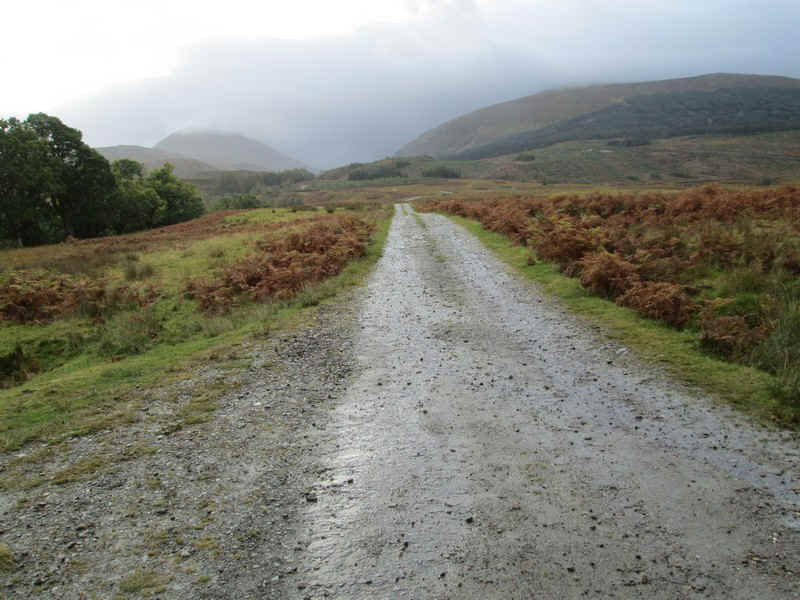
The drove road heads steadily uphill ......
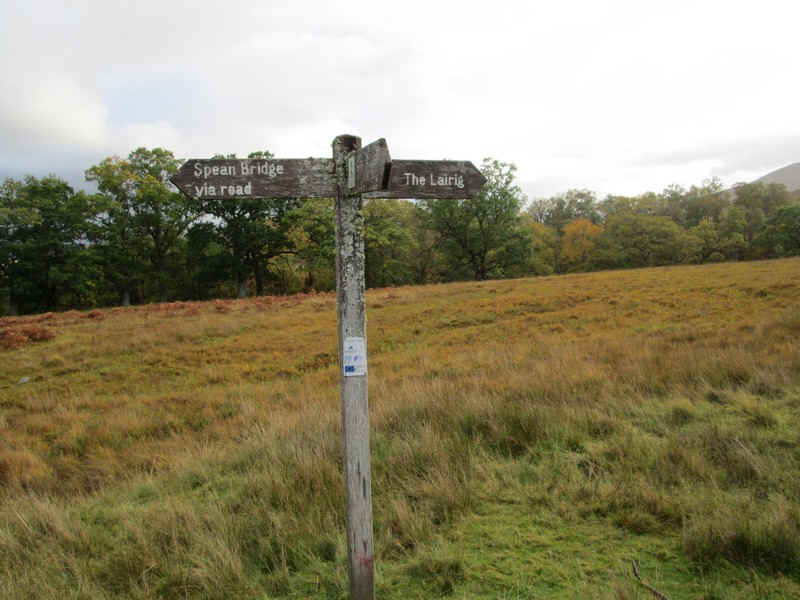
...passing the signposts to The Lairig
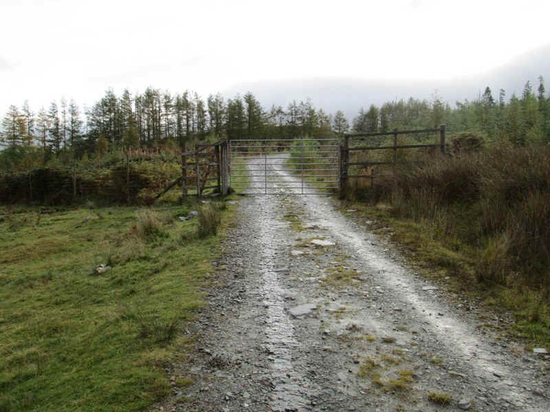
A deer fence is passed...
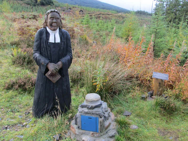
....before meeting the 'Wee Minister'
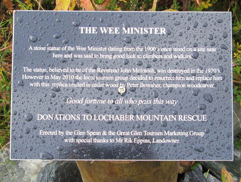
And I hope you've put a small donation in the box - you never know....
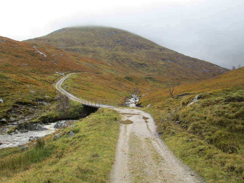
As the drove road heads up the Lairig Leacach it crosses over the Allt na Lairige ...
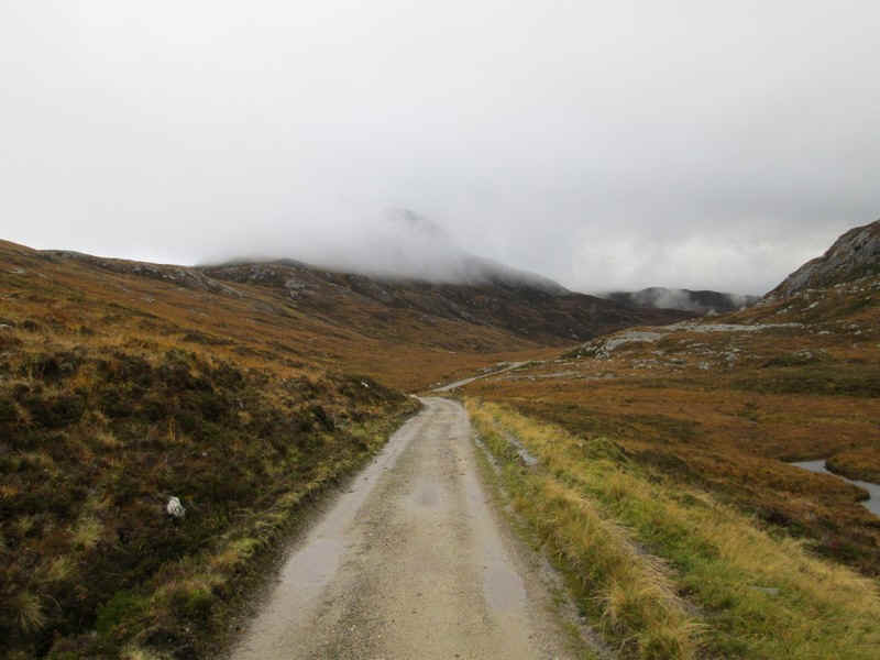
...and climbs towards the watershed ....
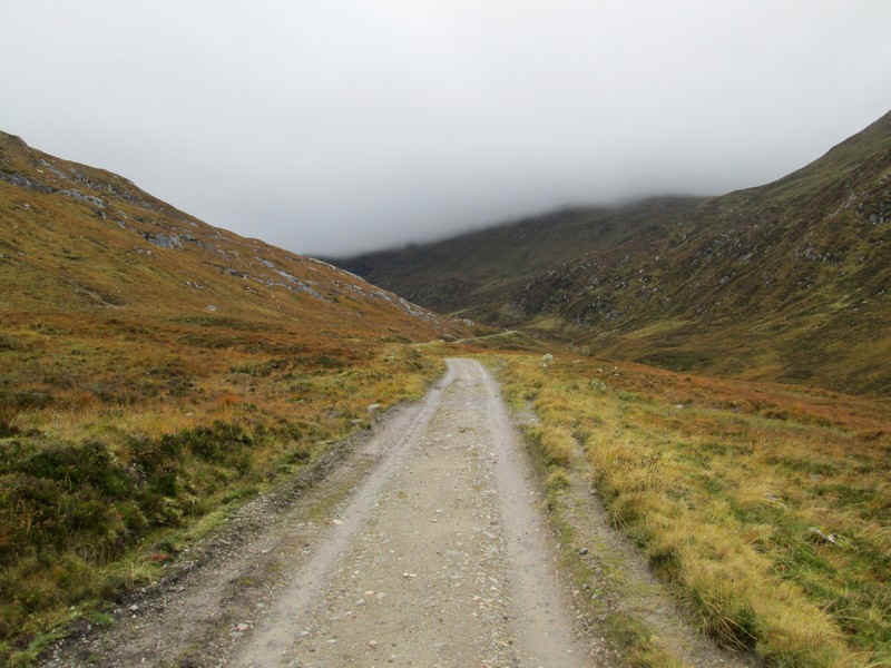
...which is reached at about 500m above sea level.
Crossing the Bealach na Cruaiche; the stream on the northern side flows directly into the River Spean, whilst the one heading south goes in to Loch Treig and then the very short (2 mile long) River Treig which also flows into the River Spean.
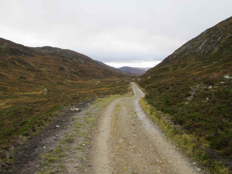
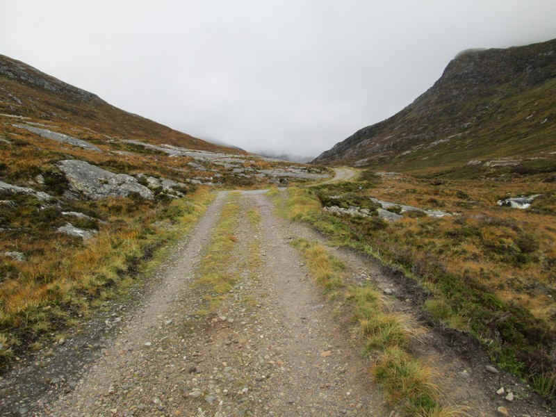
From the bealach the drove road falls gently...
...with the first view of the lower slopes of Stob Ban on the right.
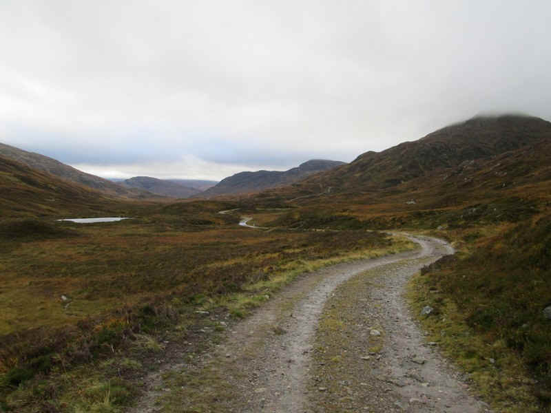
The path to Corrour station (must walk that some time!) heads off to the east just...
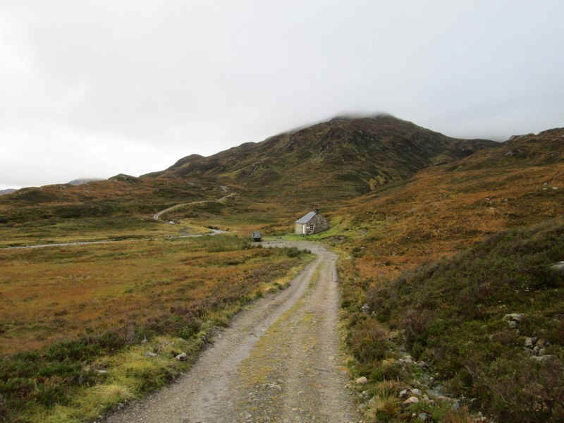
..before reaching the Leacach bothy
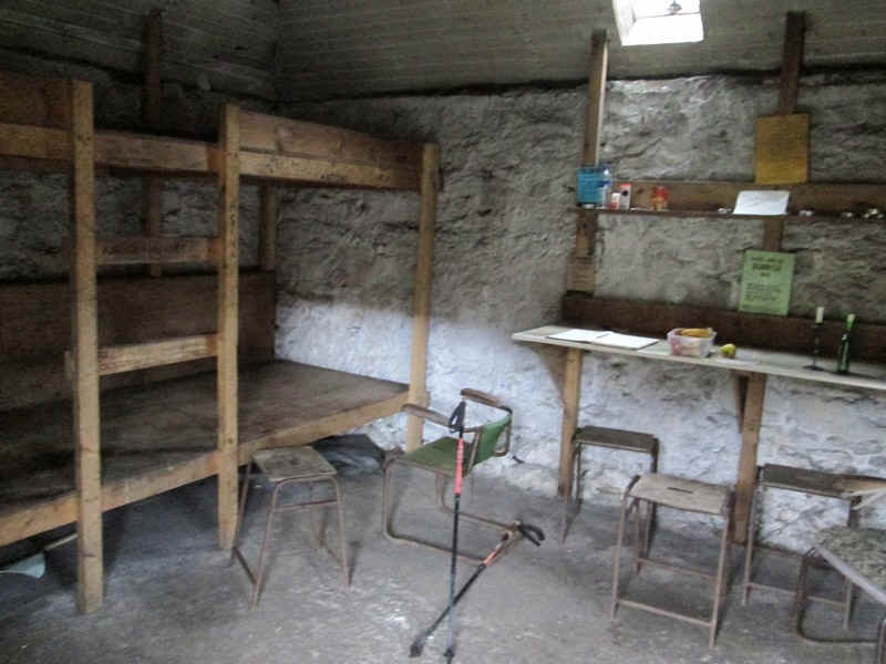
I took the opportunity to have a break in the bothy, write in the bothy book and read the comments, before setting off up the hill.
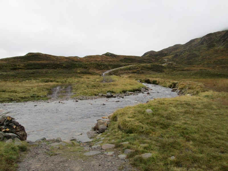
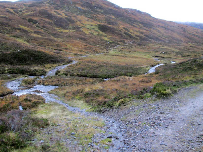
The drove road crosses the Allt a' Chuil Choirean at a ford but, fortunately, there is a...
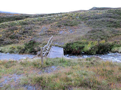
...footbridge just upstream, although its deck is clearly in need of repairs.
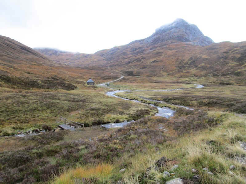
Looking back to the footbridge and bothy with Sgurr Inse (809m) beyond.
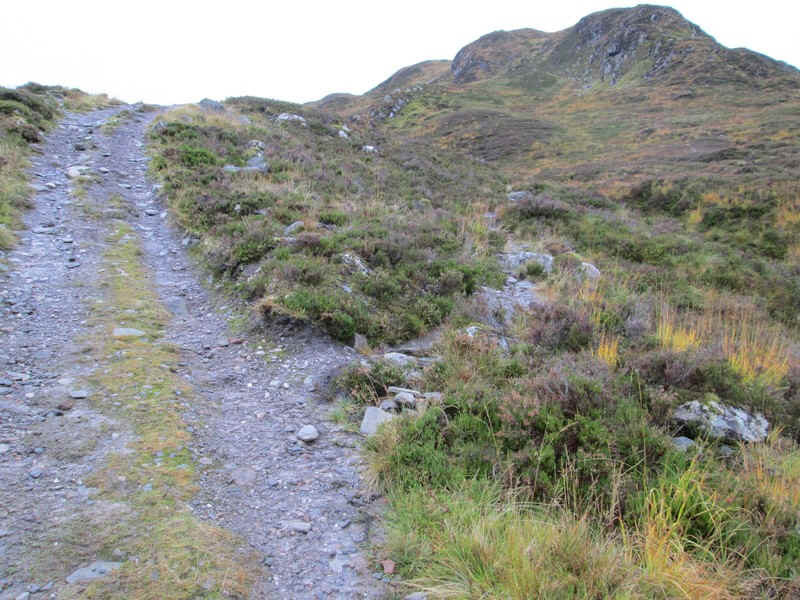
The path to Stob Ban leaves the drove road after a short distance, at NN 28202 73434 ....
.....and heads towards this rocky outcrop.
Looking back towards the bothy....
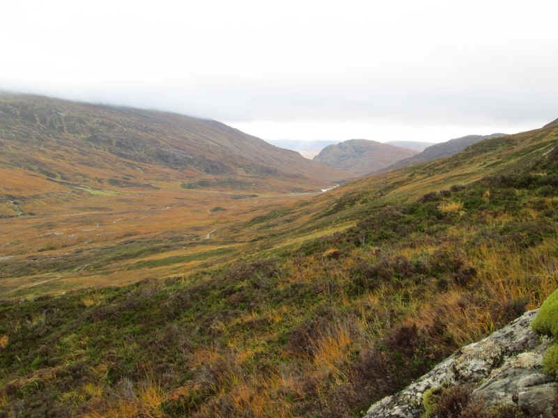
....and south down the Lairig Leacach.
The climb to Stob Ban is surprisingly easy with only one or two sections lower down over rocky out crops needing any care.
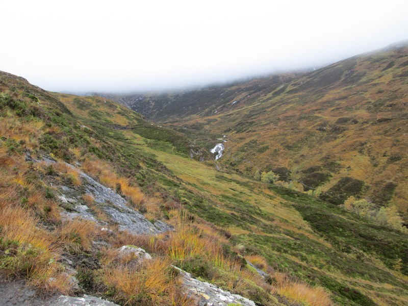
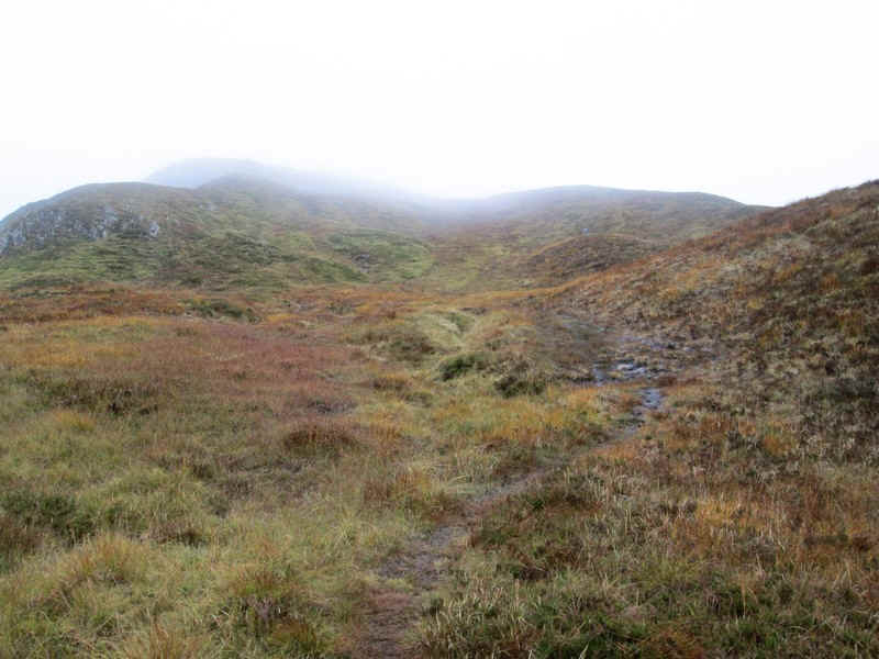
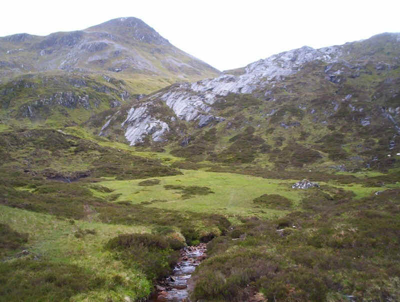
This view is looking up the Allt a' Chuil Choirean. Under the clouds is the col between Stob Choire Claurigh and Stob Ban.
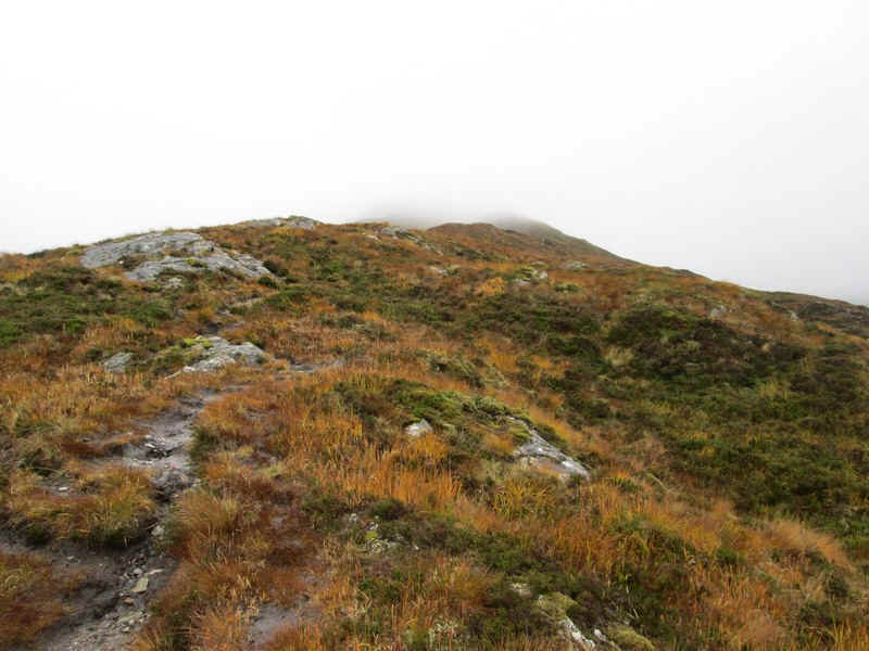
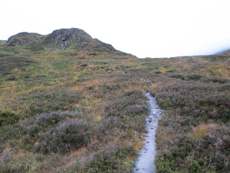
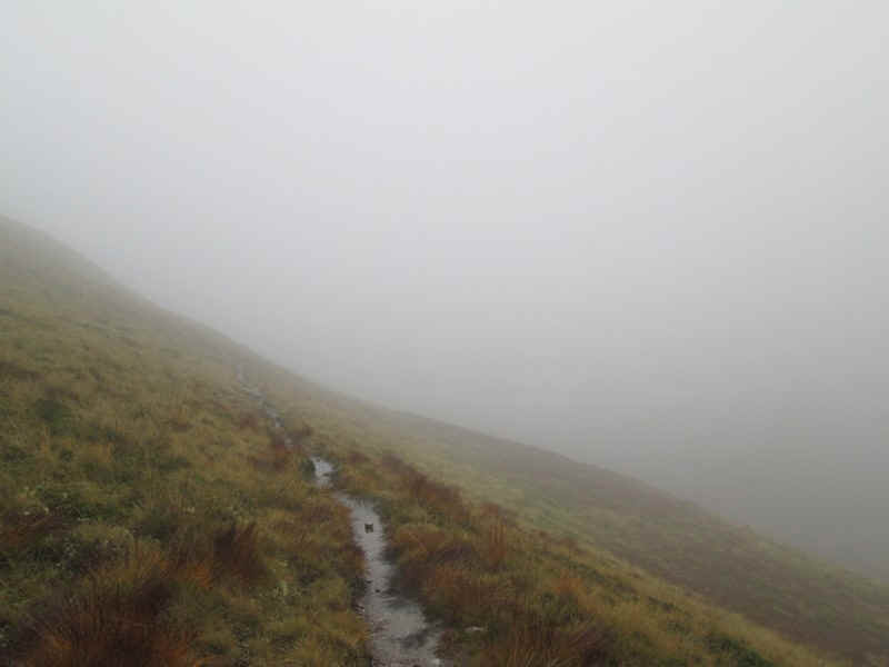
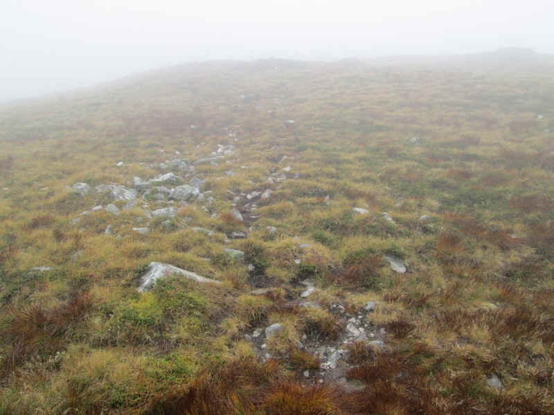
Although I wasn't going to have any views I carried on taking photos to show the nature of the path.
It's a very clear path mostly on the ridge top and across grass...
...until it leaves the crest for a short distance to skirt the hillside above Coire Claurigh (down there in the mist).
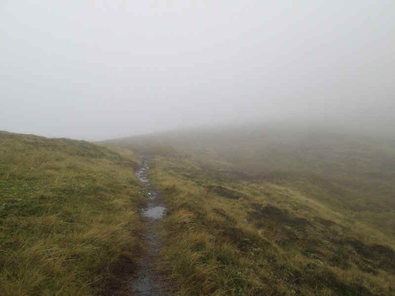
Then it's back on the ridge
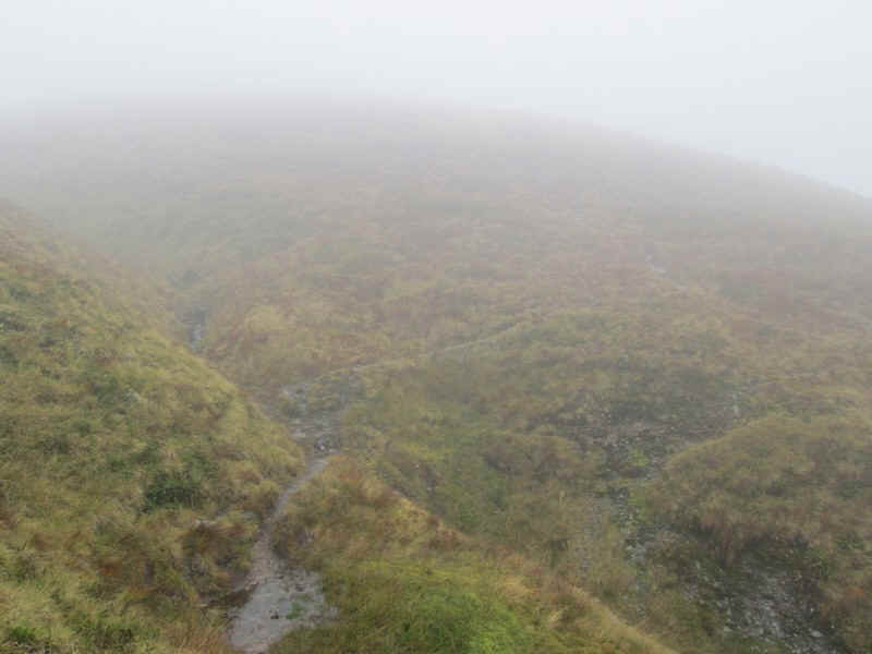
....before dipping down to a stream....
...and then starting the steady pull uphill....
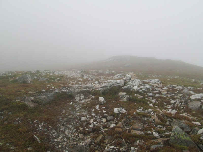
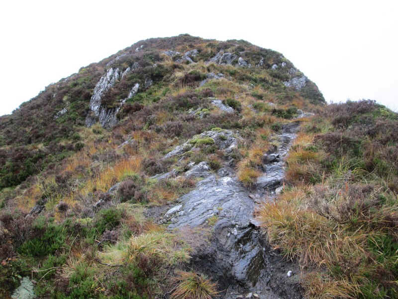
....to reach slightly stonier ground.
Although it's not really apparent in this photo the last section is on quite a steep zig zag path up.....
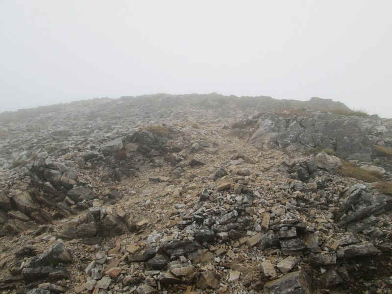
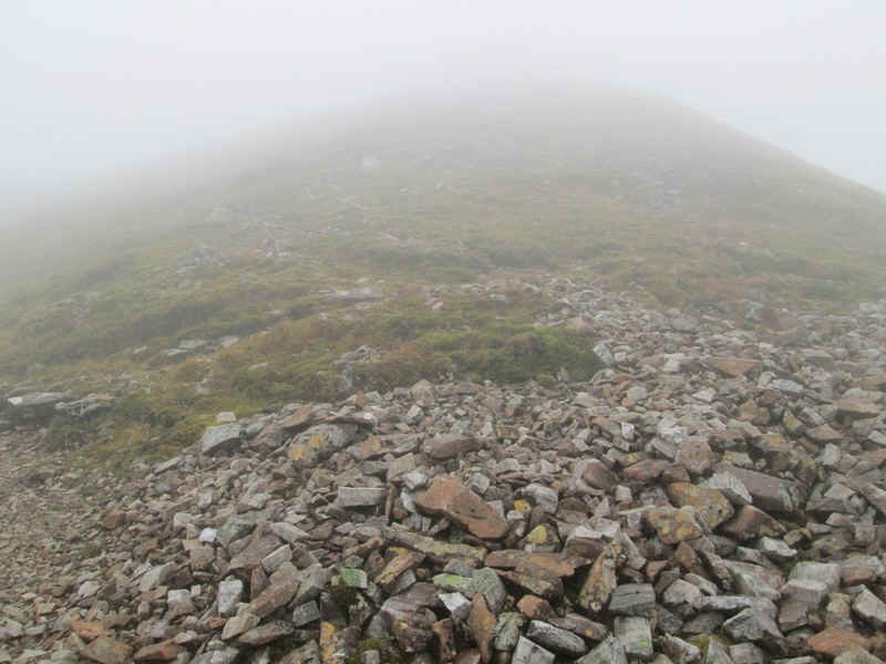
...onto the stony crest of Stob Ban with its..
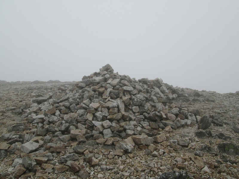
...small cairn. Sadly there were no views but Munro number 139 was 'in the bag'. The climb from the bothy had taken exactly one and a half hours.
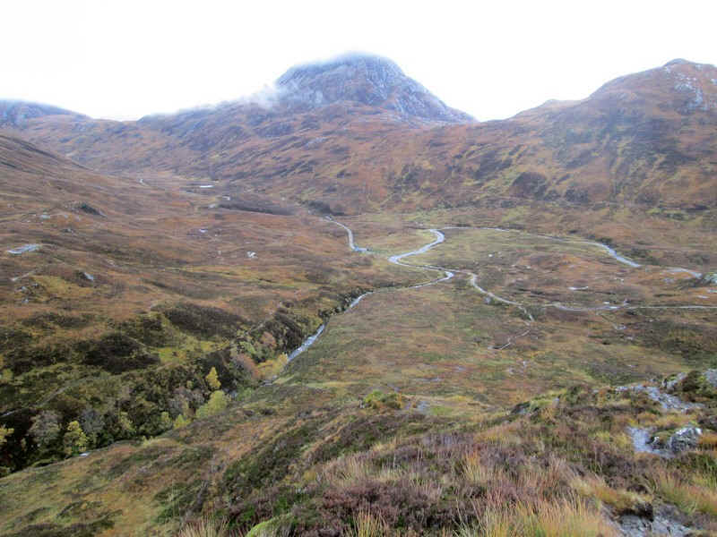
On the way downhill there was a slight improvement in visibility - just to the right of Sgurr Inse the waters of Loch Treig can be seen.
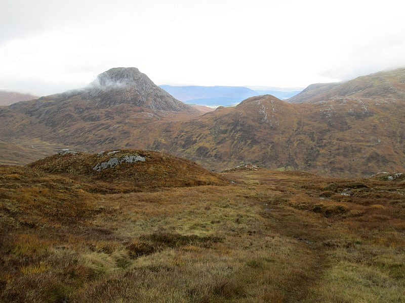
Whilst in October 2013 I had no view of Stob Ban, this photograph from 2011 shows it viewed from the path by the Allt a' Chuil Choirean.