Stob na Cruaiche
Stob na Cruaiche is one of those hill that need some determination to climb, not because it is particularly difficult as a hill but because of its location slap bang in the middle of Rannoch Moor.
I decided to use the train to get to the start of the walk. A train leaves Glasgow at 08:20 and arrives at Rannoch at 11:08. There's a return from Rannoch at 18:38 arriving back in Glasgow at 21:25. So for about six hours train travel there is just over eight hour for walking.
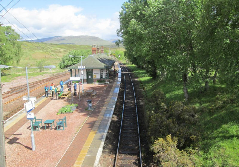
So at the end of May 2025 I travelled north on the Mallaig train arriving on time at Rannoch.
I decided not to use the station restaurant (it was very busy) but to start straight away on the walk and.....
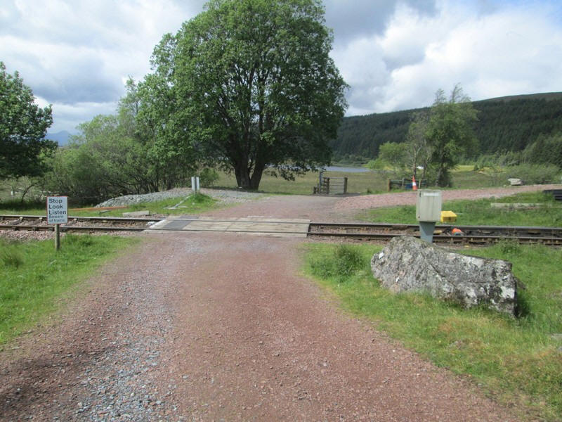
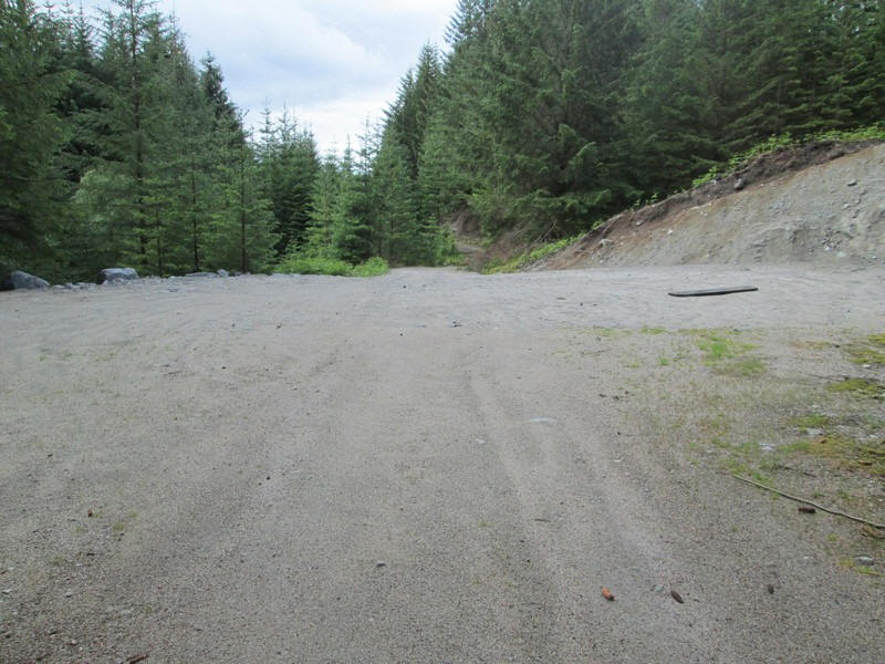
....and headed off across the level crossing just outside the station...
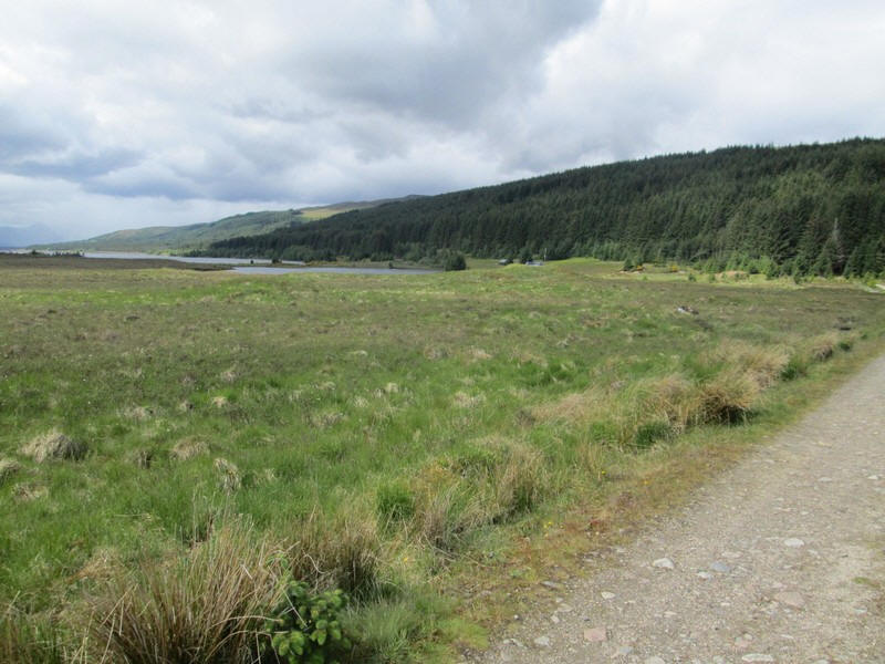
....on the vehicle track towards Loch Laidon.
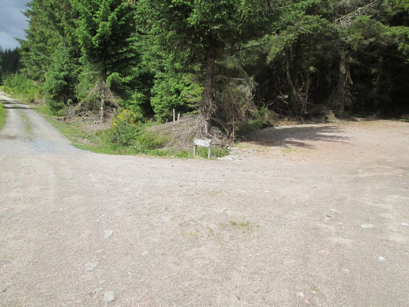
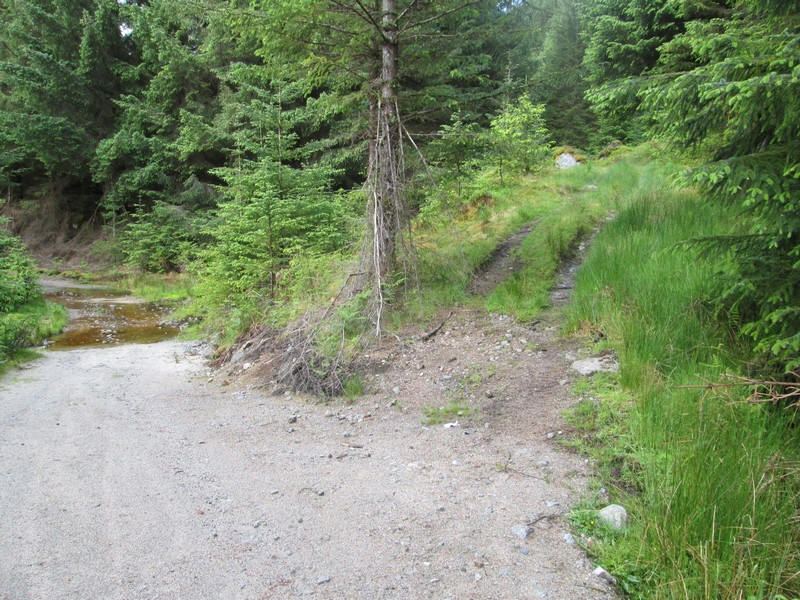
After a short distance a track heads uphill through the trees. I had originally intended to go up this route and along the ridge over Meall Liath na Doire and Meall a' Bhuirch, but in the end decided to continue along the forest road signposted Glen Coe and then take the all terrian vehicle track up to Stob na Cruaich.
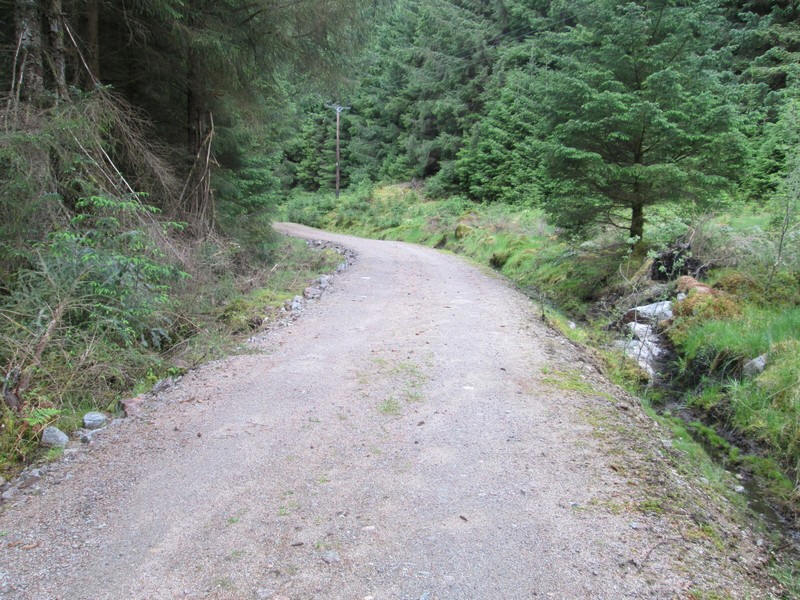
It's a pleasant enough track which, once past Cruach Cottage, turns away from the loch and into the trees,
The track follows a power line through a clearing in the forest....
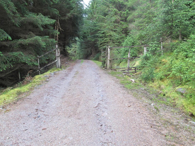
....until it reaches a gate in a fence.
Shortly beyond is a large turning circle for timber lorries...
.....and immdiately afterwards there is an all terrain vehicle track which leads all the way up to the summit. In my case it didn't, so read on!
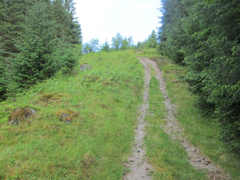
The track climbs up through the trees...
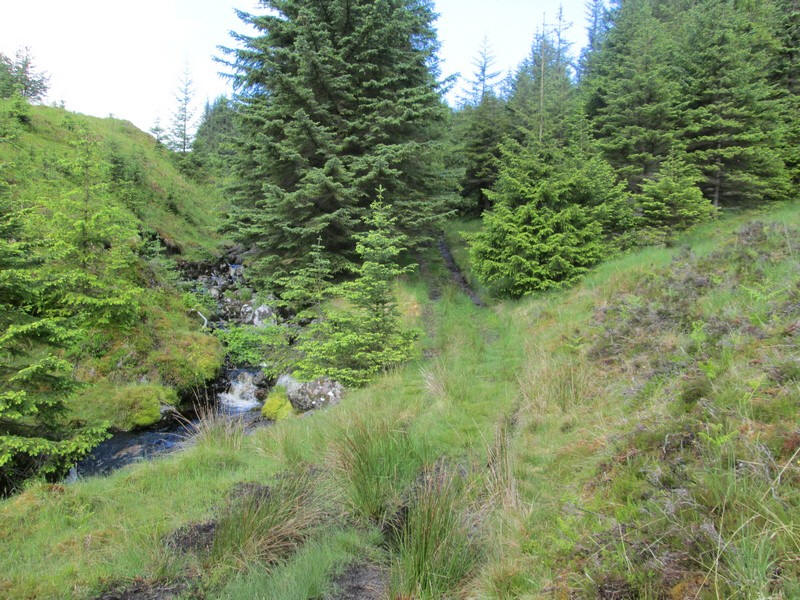
..... alongside a stream.
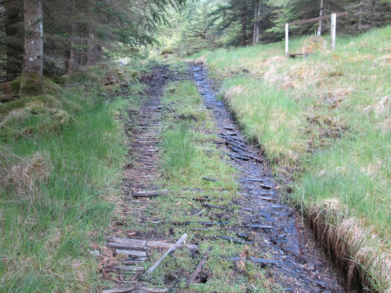
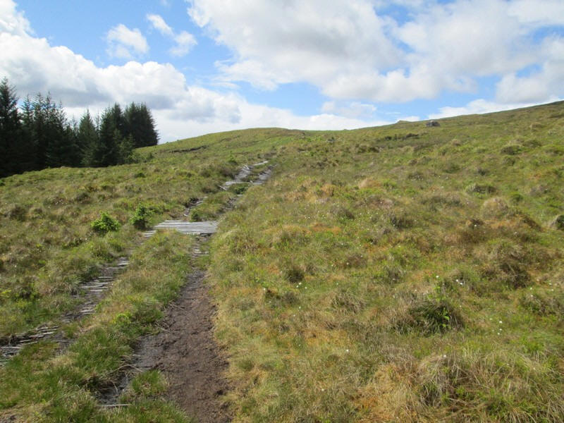
A particular feature of this track is the use of timber slats and planks to enable vehicles to climb the often very wet ground. They certainly make it a lot easier for walkers as well, although in places they present a trip hazard.
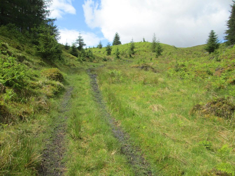
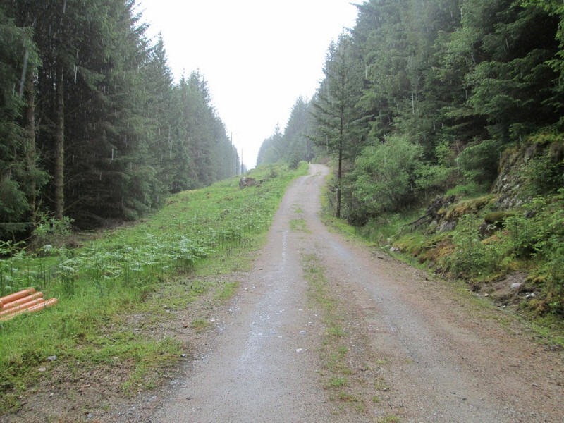
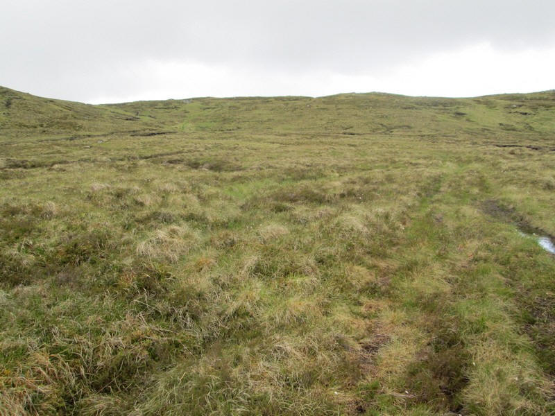
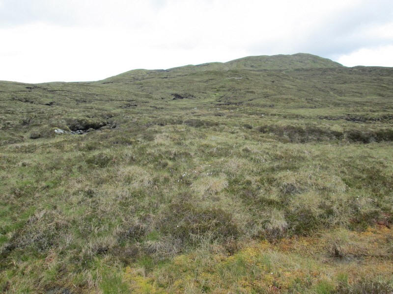
Eventually the track leaves the forest and reaches open moor.
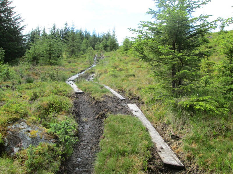
in a few places there are long planks held at the correct distance apart by cross pieces.
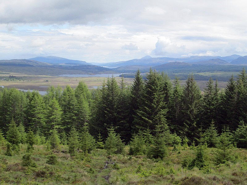
Looking back from the top of the forest ther is a view of the pointed cone of the Munro Schiehallion and Loch Rannoch
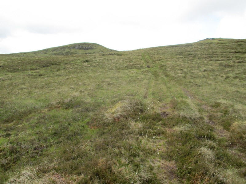
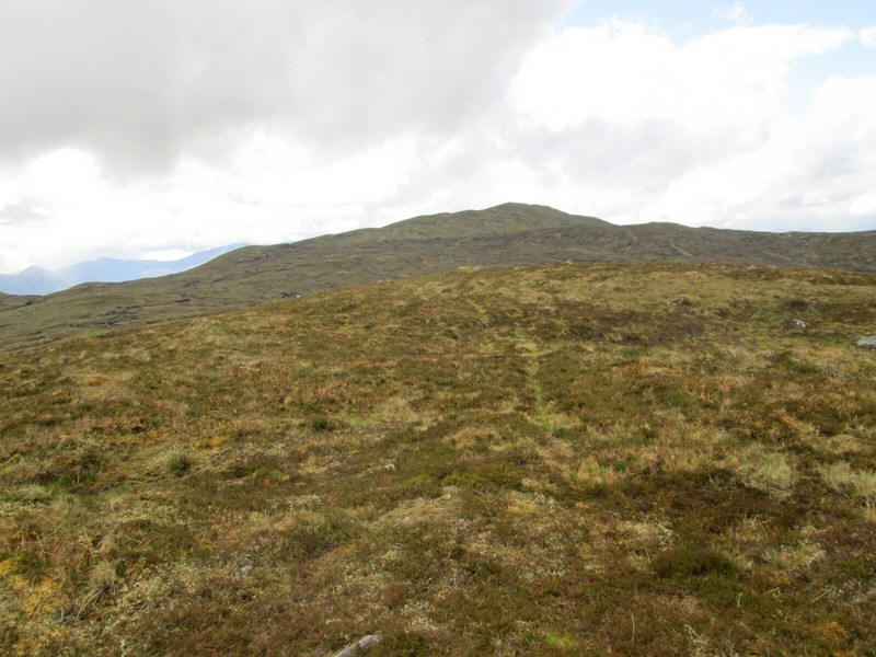
The track climbs above the forest
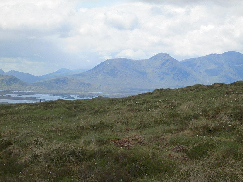
The Munros Stob a' Choire Odhair and Stob Ghabhar are about ten miles away across Rannoch Moor.
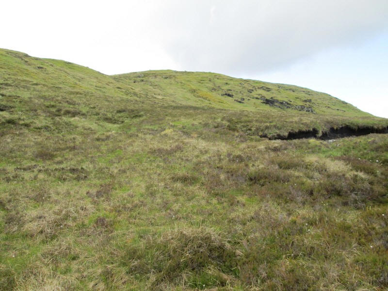
It was somewhere about this point that the track must have divided into two, with one heading in the direction of the summit of Stob na Cruaichie and the other towards the point on the OS map shown as Meall a' Bhuirich. I didn't notice this split and missing it was to make my ascent more "interesting"!
The now rather faint track is seen heading towards Meall a' Bhuirich with its rocky outcrop.
This track finally petered out near the crest of the ridge and I took the precaution of bookmarking that position on my GPS receiver -NN 37979 57326 - so as to find that spot on my return.
Of course, on the ridge there was no track so it was now a case of walking across the moor towards the summit which was about 2 km away across the peat hags.
I had already entered various way points into my GPS including Stob an Armailte (spot height 656m) just in case I needed them.
There are lots of peat hags to negotiate - fortunately the ground was quite dry and although I had to detour a lot around the hags amazingly my boots stayed almost completely clean.
Eventually, I started on the final climb up to Stob na Cruaiche...
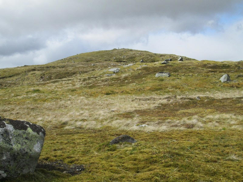
....and the summit's cylindrical trig point appeared.
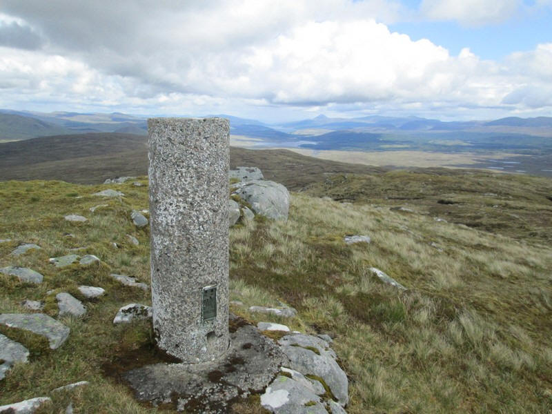
It had taken me three and a quarter hours from the station to the summit about half an hour longer than expected due to slow walking over the peat hags.
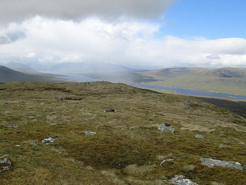
Looking west with the Blackwater Reservoir down in the glen. Although the day was generally fine showers such as in this photo reduced visibility.
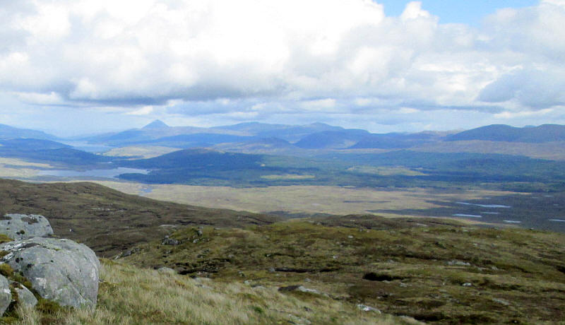
Looking east with Schiehallion prominent in the distance.
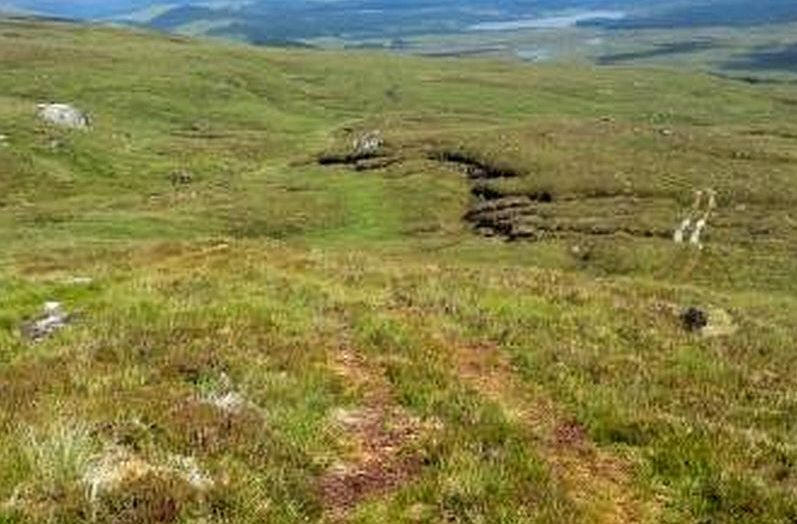
I was beginning to wonder if reports of a track to the summit were incorrect when I spotted a very clear all terrain vehicle track a few metres away from the trig point.
Suffice to say it did indeed go all the way down to the forest and mostly avoided the peat hags by skirting around on the southern side of the ridge,
Quite how I was lead astray on the ascent I don't know but at least I got to practise the difficulties of crossing peat hags!
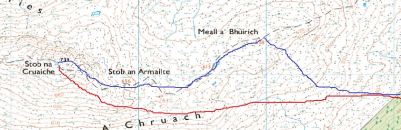
The map below shows the route I took uphill (in blue) and the all terrain vehicle track on the way down in red.
The return walk to Rannoch station took two hours. Sadly, the station cafe shuts after 4.00 pm but there is now a 24 hour serve yourself service in one of the rooms which has hot and cold drinks, snacks and sandwiches. Payment is by an honesty box for cash or a credit card reader. What a superb idea - a good cup of tea was just what I wanted before the train back.
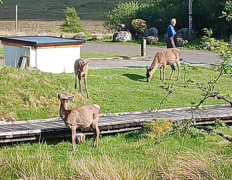
As usual at Rannoch the local deer were trotting around the station car park.