Stuchd an Lochain
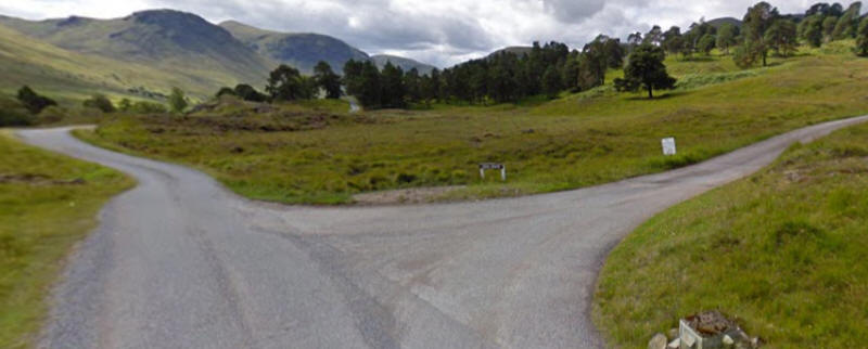
Getting to the start of this walk isn't the easiest of tasks. There are 20 miles of single track road to negotiate and the final turn off to the road up to the Giorra dam isn't signposted, except for a small sign that reads Lochs Estate. The photo below is taken from Google Streetview
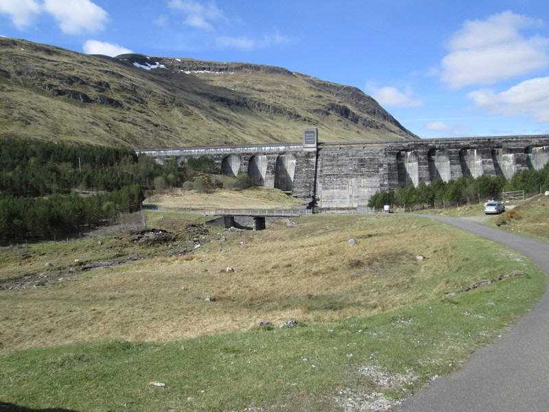
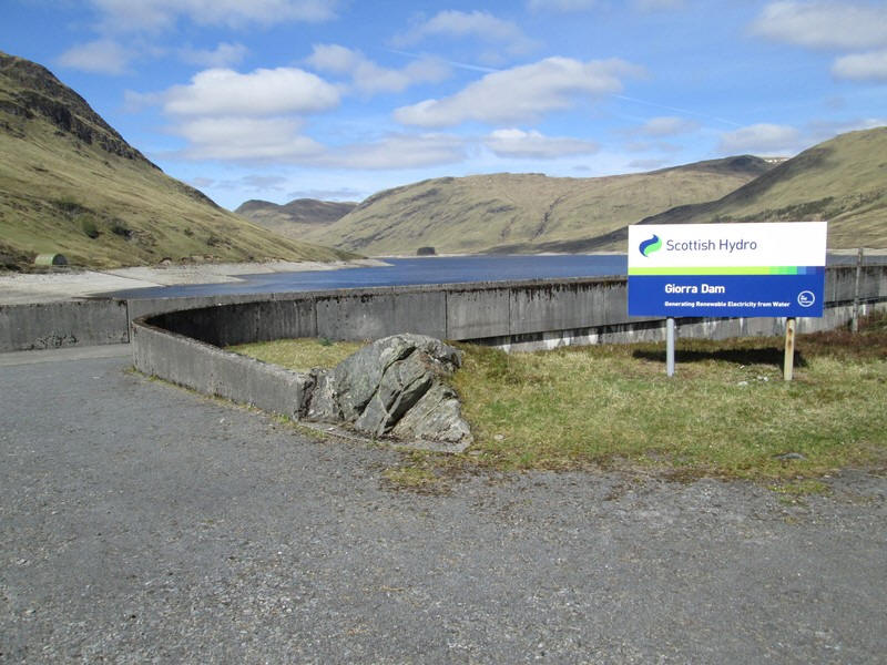
There is a reasonable amount of parking space just before the dam on the verges and a very informative information point with recommended routes during the stalking season.
Setting off at about 10:45 the walk starts along the paved track to the top of the dam. There is a locked gate which you have to climb over.
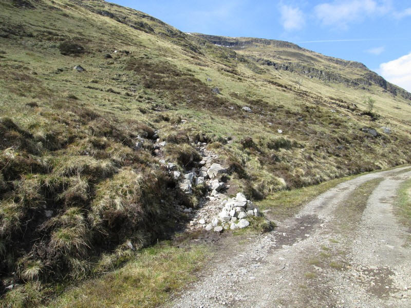
The hill walk starts at a cairn a little further along the loch side track.
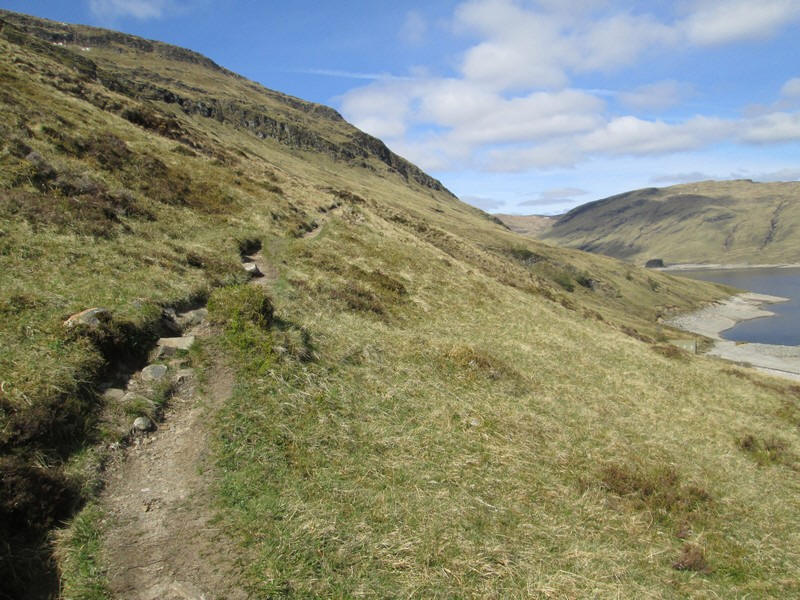
At first the path is gentle but this will not last!
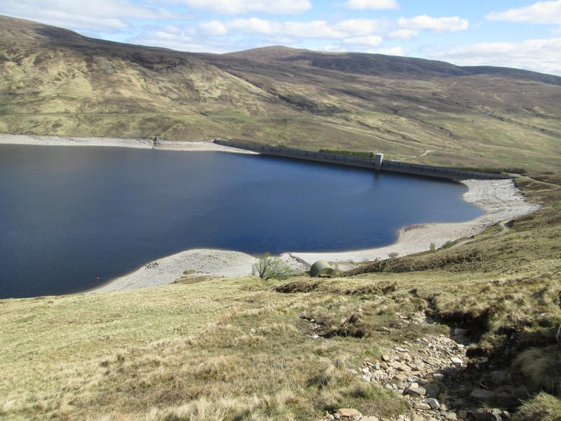
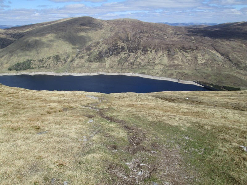
Looking down to Loch an Daimh (Loch of the Stag - not of the Dam!)
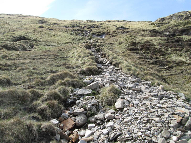
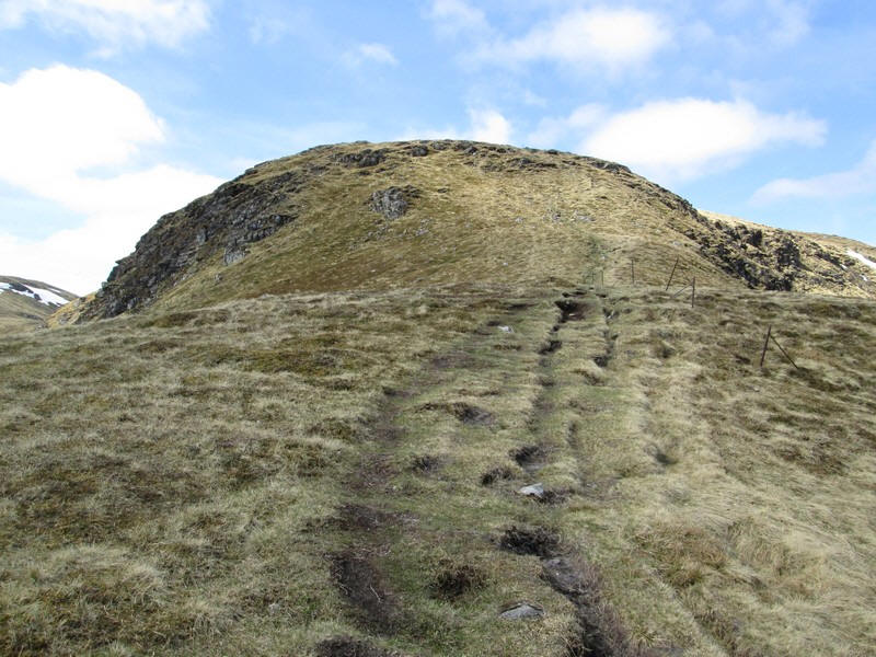
Soon that easy path ends and you are faced with a 300m metre ascent up an utterly unrelenting and almost straight track. The gradient is about 1 in 3. It would be so much easier if it zig-zagged!
Towards the top the slope eases very slightly. It had taken me almost an hour to do the climb with several short pauses - something that I rarely need on climbs.
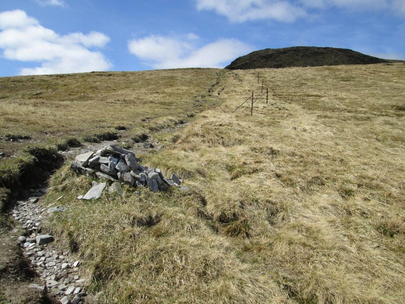
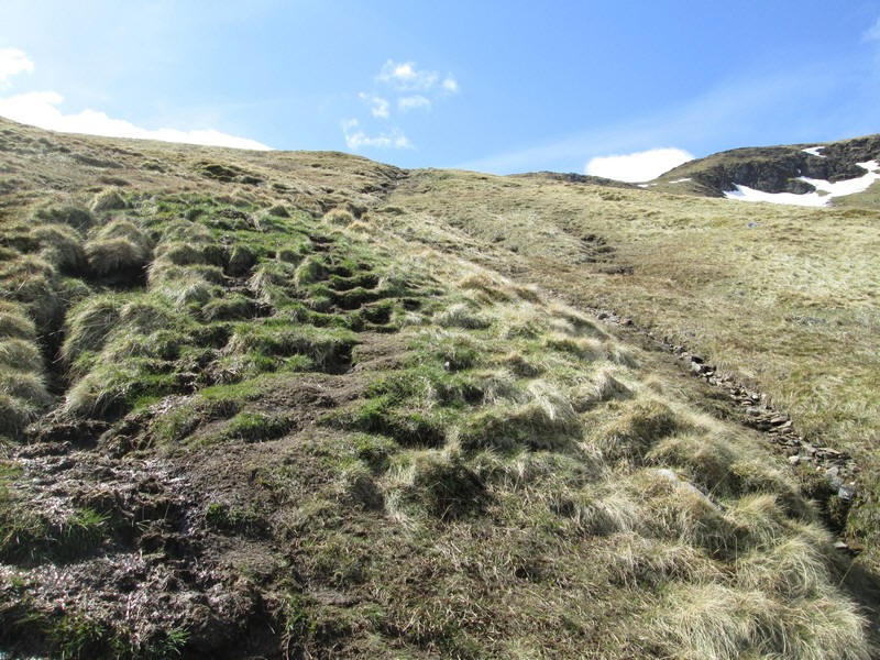
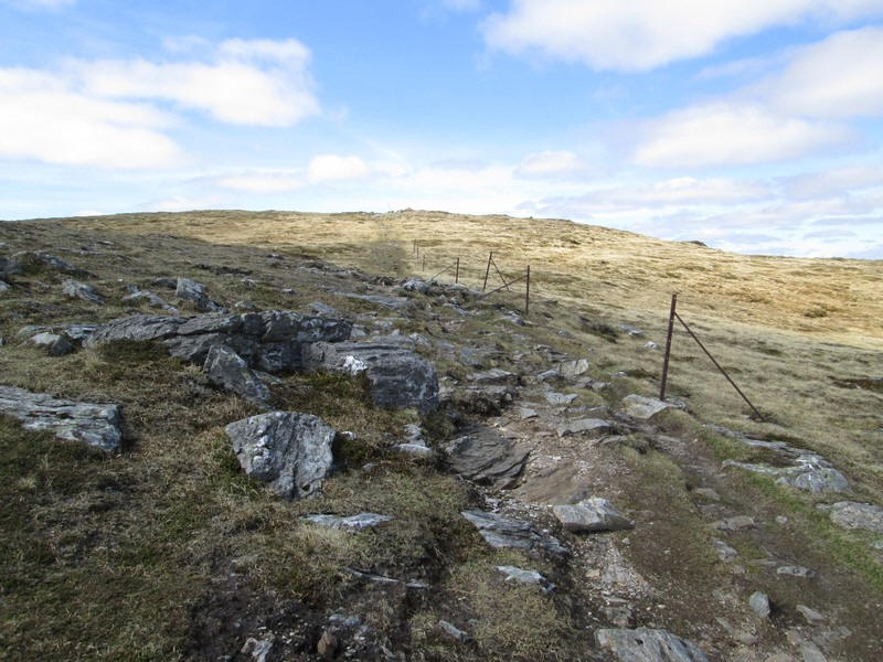
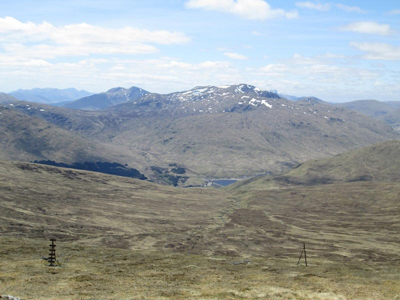
The steep climb ends at this cairn (at about the 800m contour) where the track crosses the line of fence posts.
Looking down to the loch. Beyond is Meall Buidhe which I had considered climbing on the same day as well. Not so sure now!!
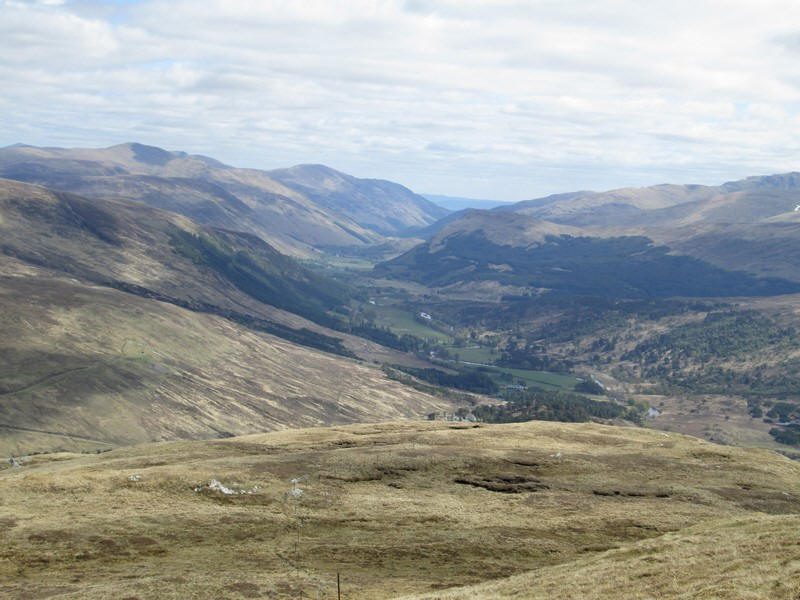
The superb view down Glen Lyon from the end of the ridge.
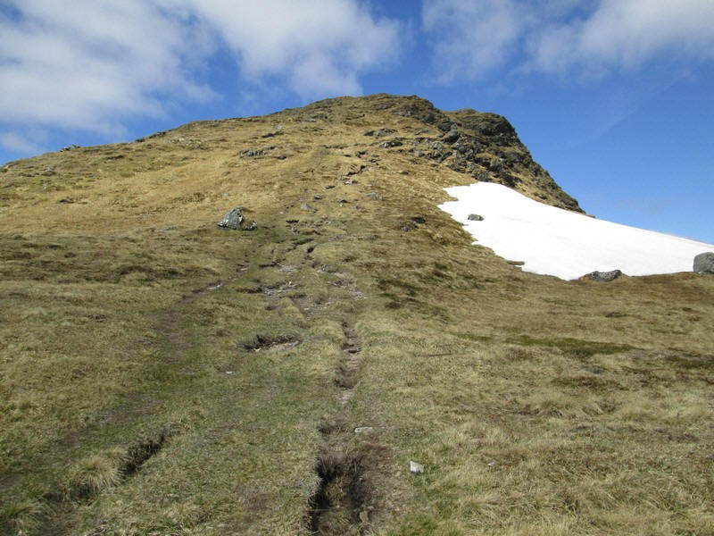
The climbing isn't over yet of course so it's onwards...
....and over the 888m high top of Creag an Fheadain.
The path is clear and easy...
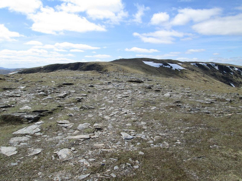
.....with a nice level section before....
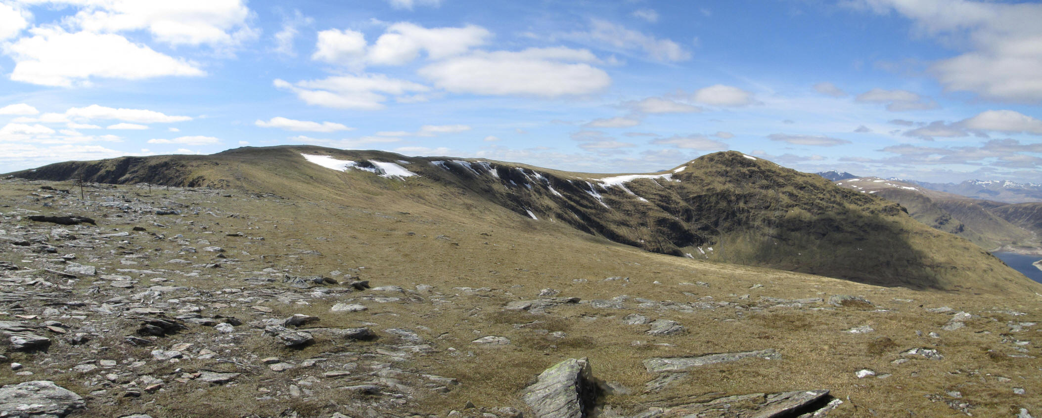
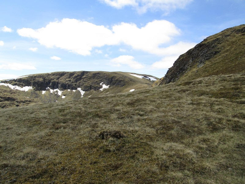
...the entire sweep of Coire an Lochain comes into view with the summit of Stuc an Lochain at the far end.
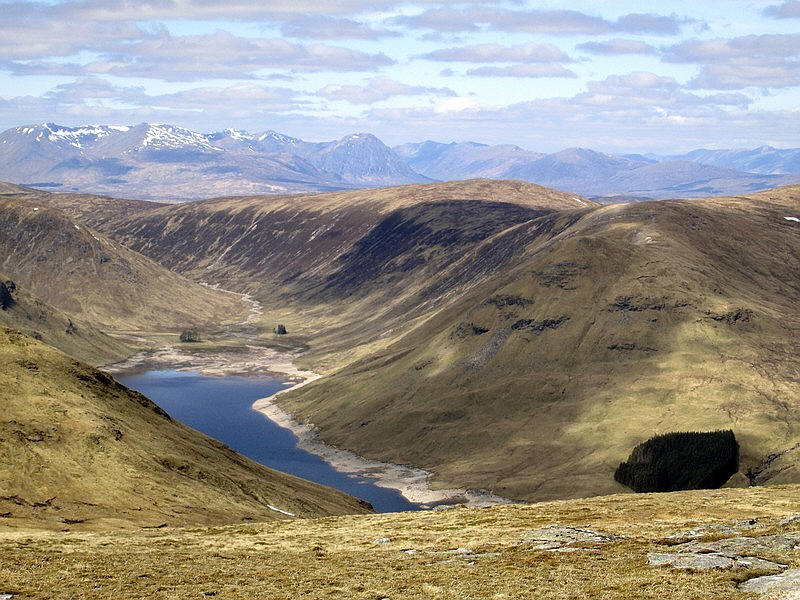
The air is incredibly clear and this is the head of Loch an Diamh with the Glencoe hills in the distance about 20 miles away.
The unmistakeable shape of Ben Nevis is in the centre of the photo and is 25 miles away.

To the south across Glen Lyon is Meall Ghaordaidh. Click on the photo to see a larger image.
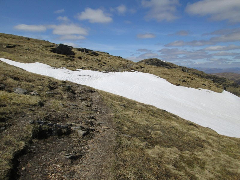
Despite carrying my Yaktraxs and microspikes in anticipation of having to cross snow, this was the only time I needed to cross any and even here I could have walked around it. I should perhaps explain that the MWIS forecast warned of siginificant lying snow remaining.
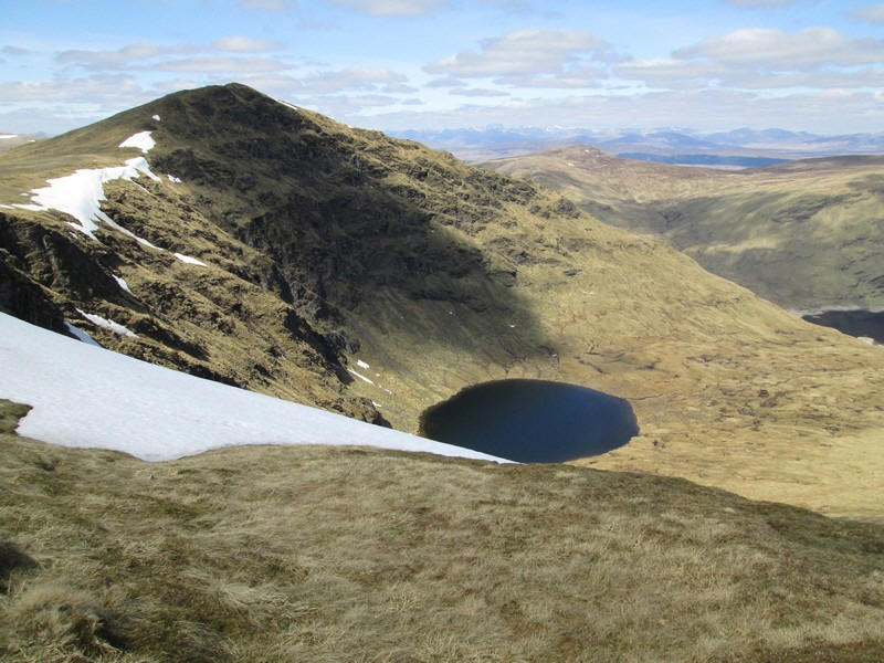
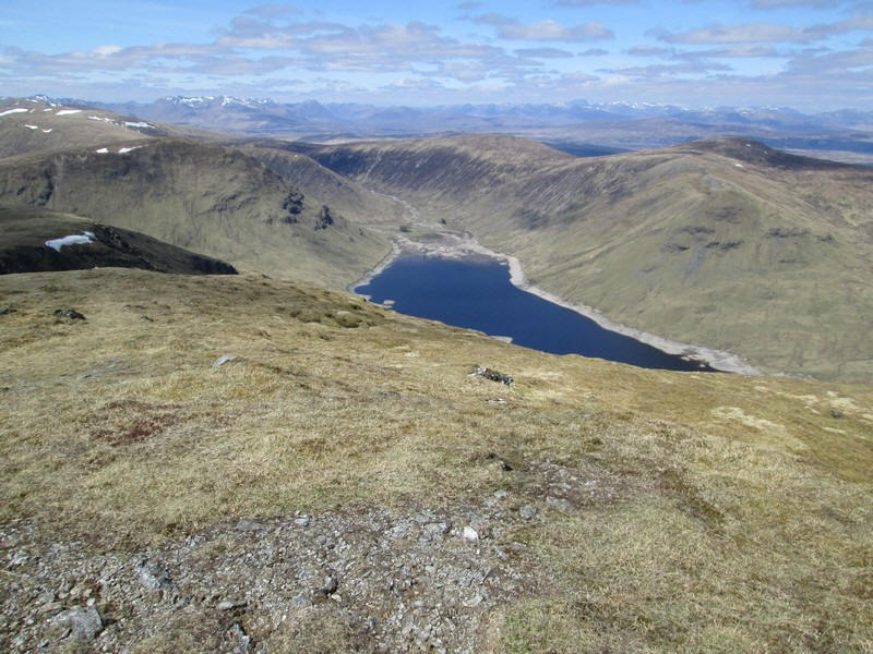
The first view of Lochan nan Cat in Coire am Lochain
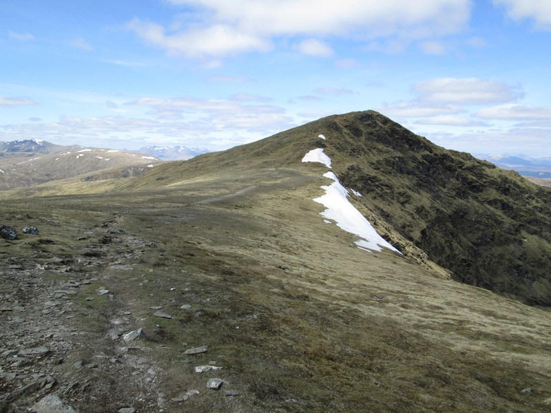
This section is one of those lovely easy ambles across a smooth plateau...
...before the final climb to the summit.
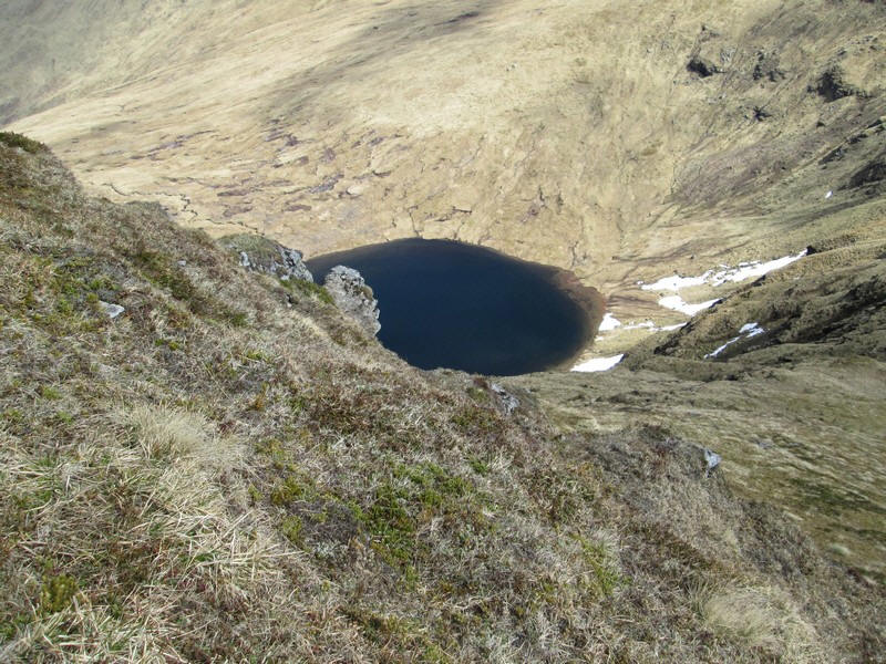
I was rather surprised to find the path really close to the edge with a big drop that would have worried me in the past. Nevertheless on the way down I kept well away from the drop. The lochan is about 250m (over 800 feet) lower down.
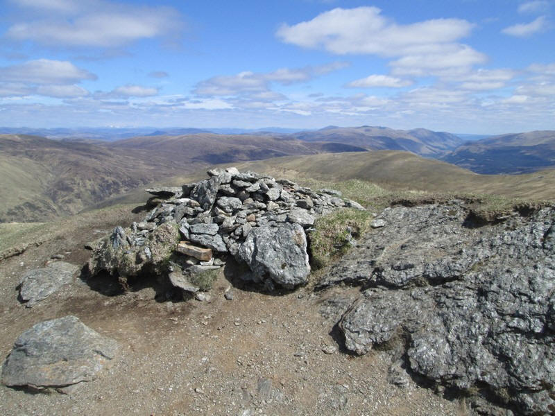
The summit cairn of Stuchd an Lochain reached just over two hours from the dam almost exactly in the time I'd expected.
To the south west the end of Loch Lyon can just be seen with Ben Shearsgarnaich above it and to the left Ben Challum
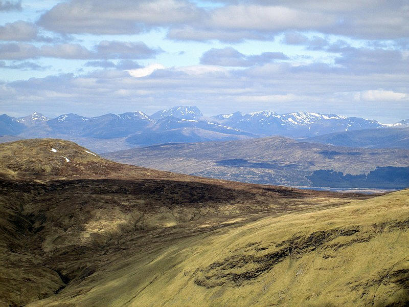
Looking north west across the head of the loch across Rannoch Moor to the hills beyond.
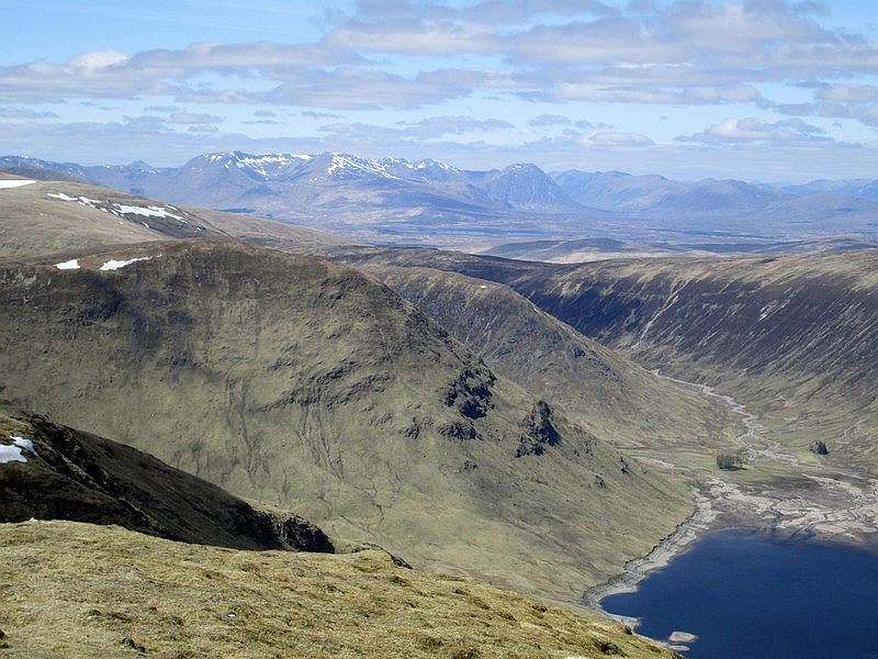
A zoomed shot looking towards Bidean nam Bian (23 miles away) and Buchaille Etive Mor. Look careully in the centre of the photo and the waters of Loch Ba on Rannoch Moor can be seen.
My original plan had been to descend to the dam and climb Meall Buidhe but rather than rush I decided the mountain experience was a much more important thing than another peak bagged. So I had a relaxing lunch in the sun and several more breaks on the way down to the dam - I was rewarded with seeing and hearing several ptarmigan including one pair close up. A gentle drive back to the post office/ cafe at Bridge of Balgie for tea and cake rounded off a super weekend's walks. 165 Munros - how did I get this far?