The Devil's Point and Cairn Toul South Top
(walked June 2010)
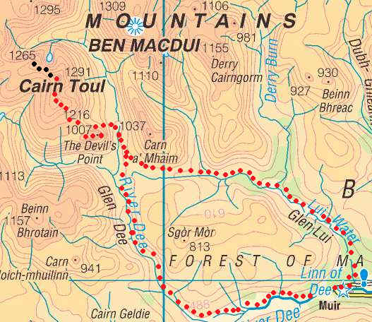
The red dots show the actual walk I completed, whilst the black dots show the extension to the Angel's Peak which I did not complete.
The map below shows the route I took as recorded by my SPOT GPS personal tracker.
The plan for this walk was to go from Linn of
Dee to the Devil's Point and then, hopefully, on to the "Angel's peak"
- Sgor an Lochain Uaine. I'd inadvertently missed out climbing this peak in
September 2009 and wanted to "bag" it this time round. However, as
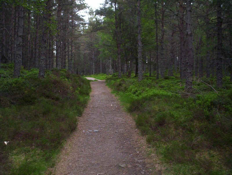
will be revealed I was once again defeated in this second objective. Leaving Linn of Dee at 08.15 the walk to the initial
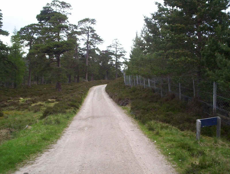
objective, Derry Lodge, starts through the forest on a gentle path... .....before turning left onto the estate track
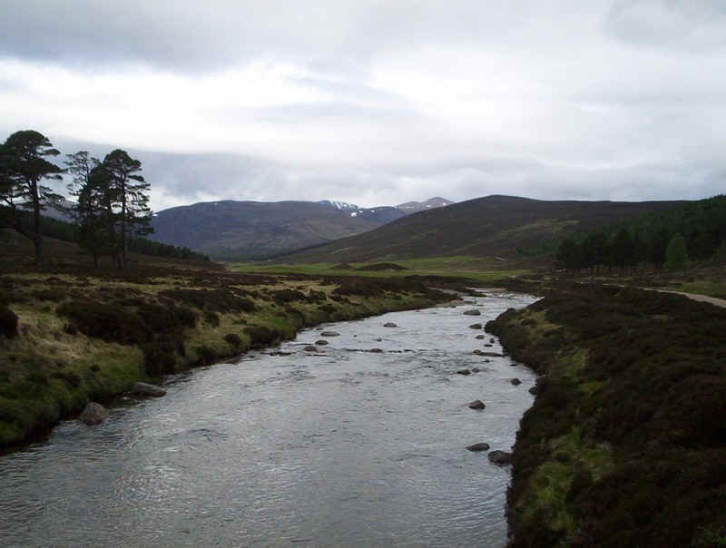
to the Lodge. Crossing the Lui Water Derry Cairngorm can be
seen as the highest point. The road continues up Glen Lui with another
Munro, Carn a'Mhaim, highlighted by the sunlight. A brisk walk found me at Derry Lodge just an
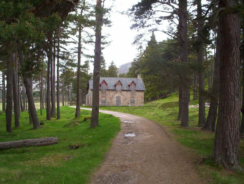
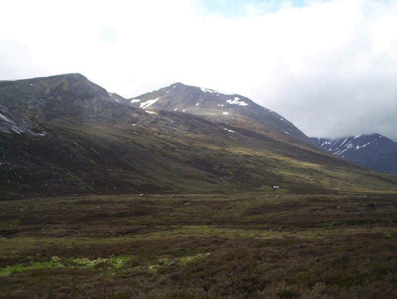
hour after leaving Linn of Dee. The lodge is boarded up - I suspect that in many
countries this would be in use as a hostel or hotel. Beyond the Lodge (with it's emergency
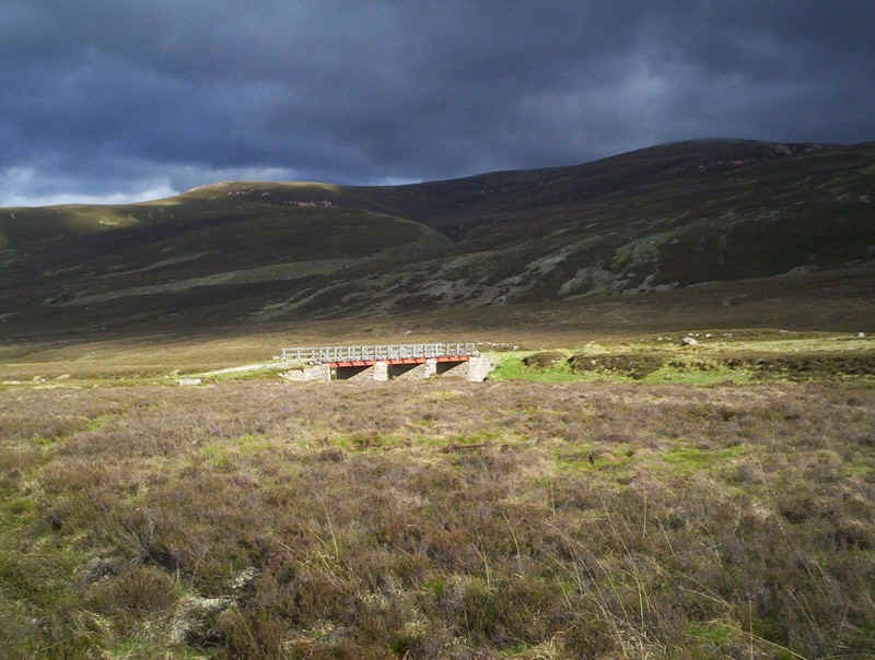
telephone) the river is crossed.... .....and the way crosses this rather marshy
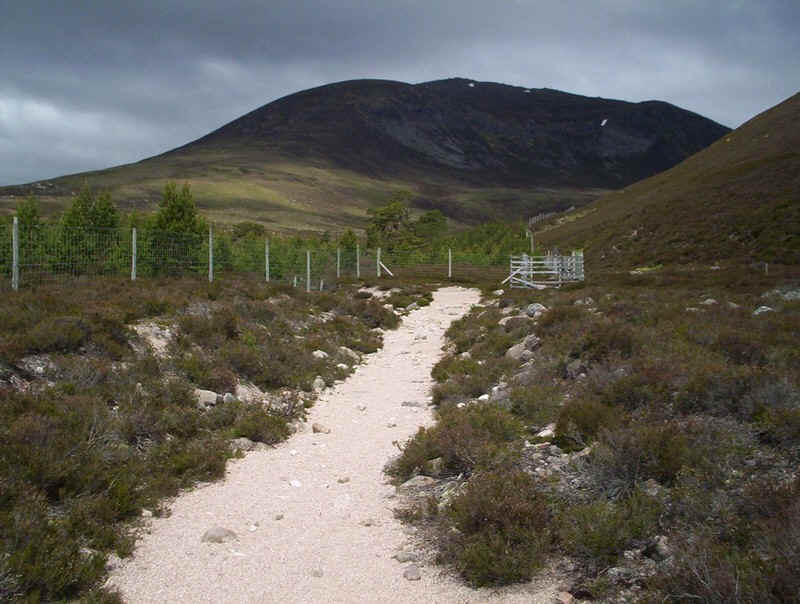
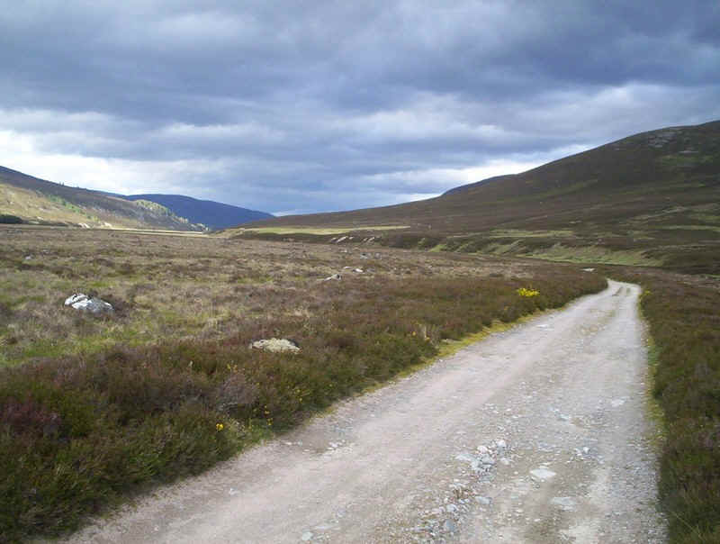
area.... ......before reaching a broad prepared path.... ......which up Glen Luibeg. Yet more big hills
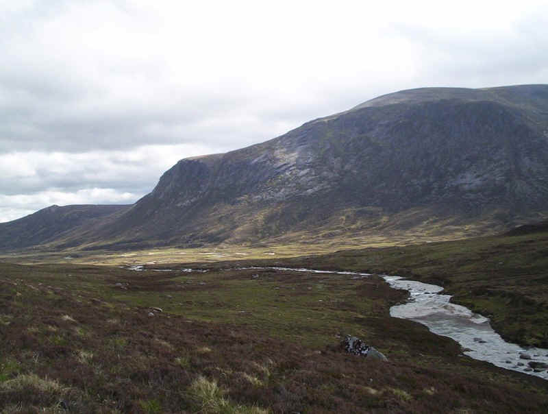
can be seen in the distance. Carn a'Mhaim towers over Glen Luibeg as the
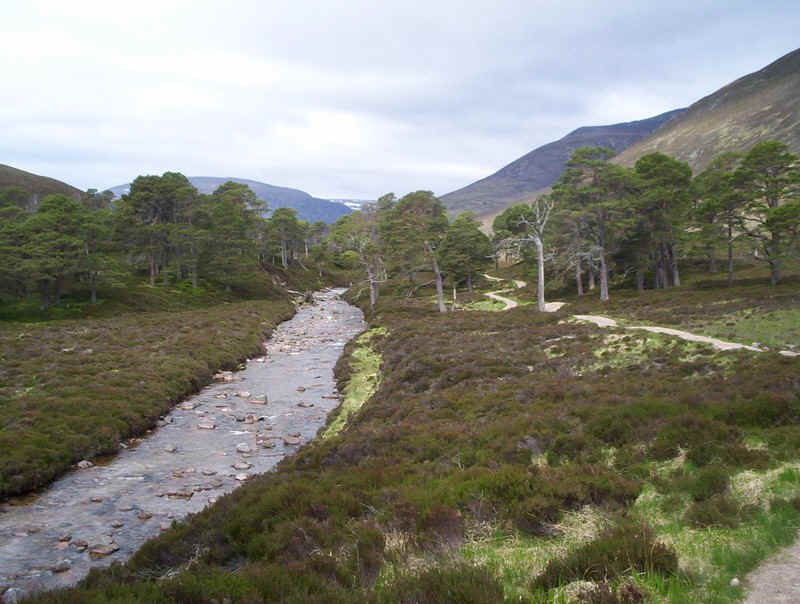
path enters a deer enclosure. The river has cut into the glacial deposits at
this point and reminds me of similar rivers in the Alps. I initially thought of crossing the Luibeg Burn
at the steeping stones but the water was just a bit too high to be confident of
not falling in. I didn't want wet feet at this stage of the walk. Fortunately, there's a footbridge upstream.
However, this cost me ten minutes diversion. More on this later. Once across the burn and out of the enclosure a
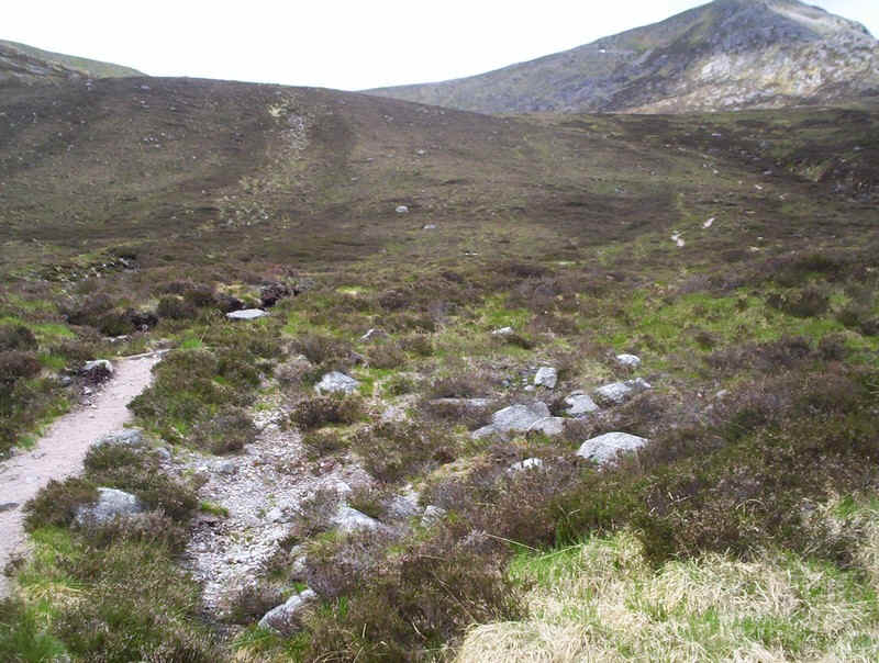
glance back shows Ben Macdui on the left and Derry Cairngorm on the right. At grid reference NO 01013 93861 a clear track
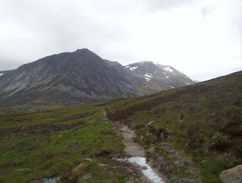
leads off up the southern ridge of Cairn a'Mhaim. Meanwhile the path to the Lairig Ghru continues
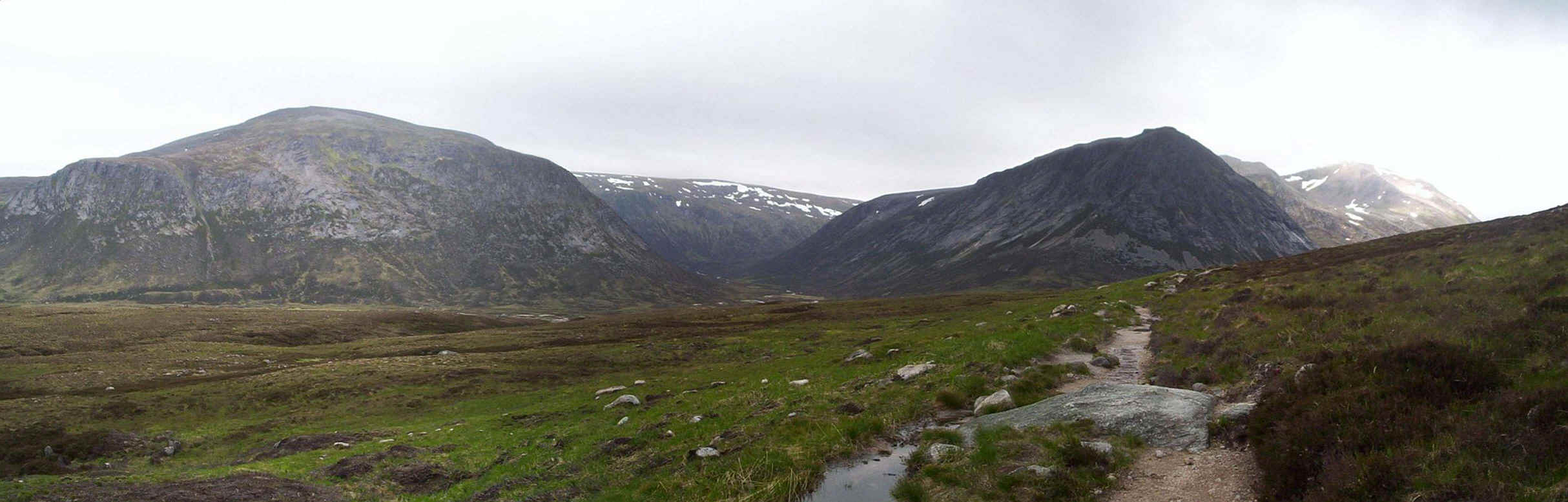
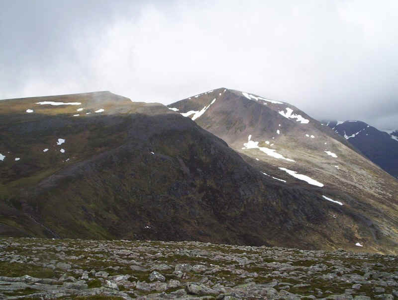
to climb gently revealing the Devil's Point... .....and then Cairn Toul beyond. Click on the photo above to see a larger
panoramic view of the four Munros of Beinn Bhrotain on the left, Monadh
Mor with snow in the centre distance and the Devil's Point and Cairn Toul on the
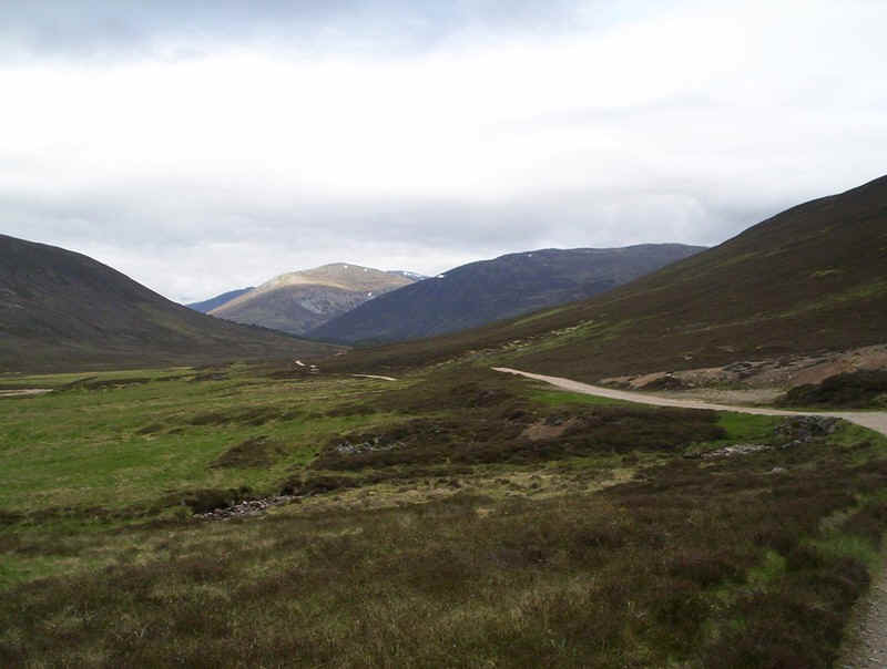
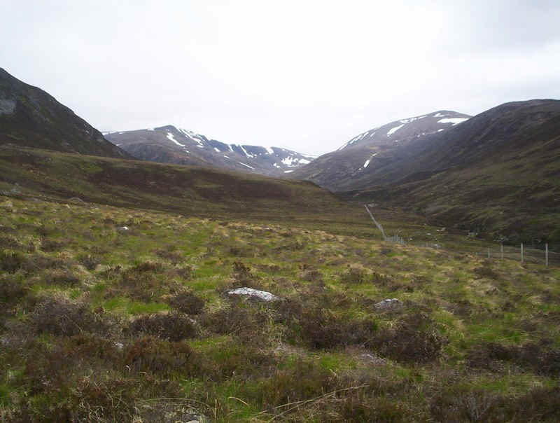
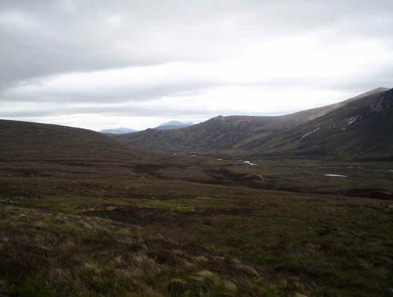
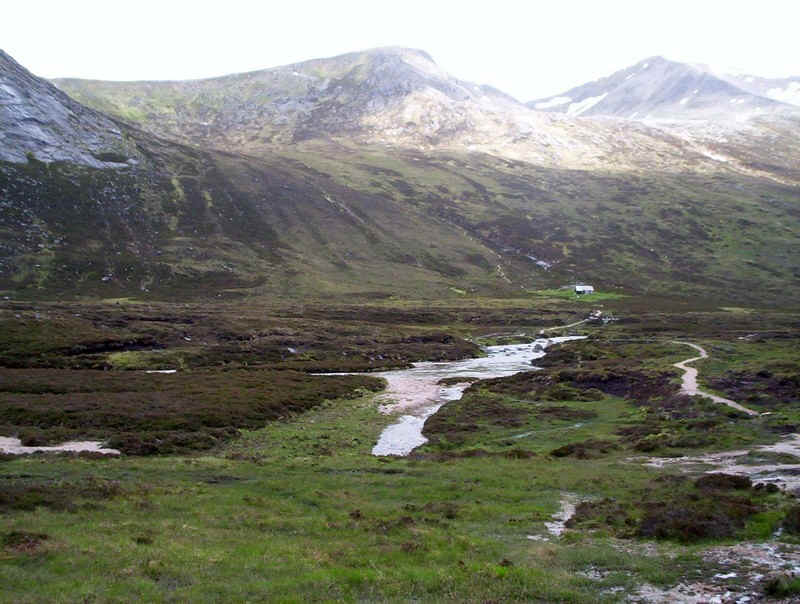
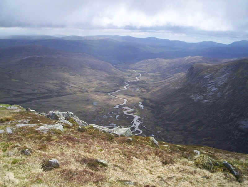
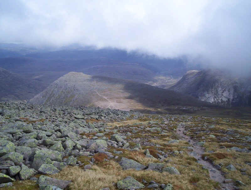
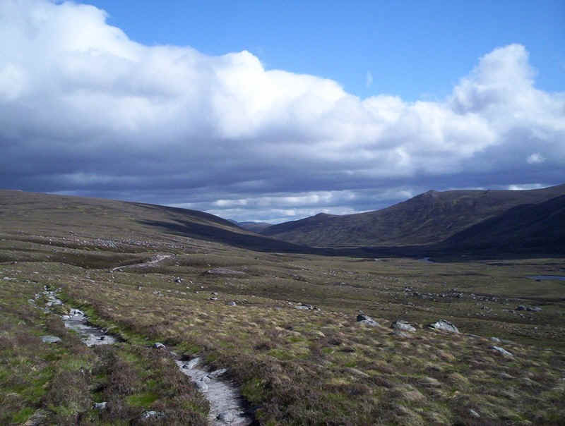
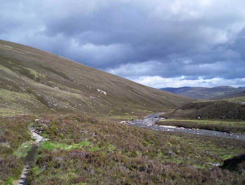
right. Over to the south is the boggy area at the top
of Glen Dee, my return route later that day. The path begins to drop down into the Lairig
Ghru with the actual pass visible in the distance. Braeriach can be seen in the
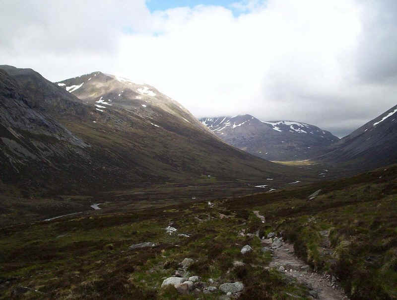
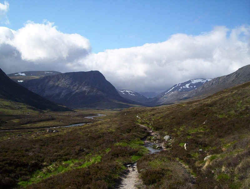
distance covered with cloud. The Corrour Bothy can be seen in the distance,
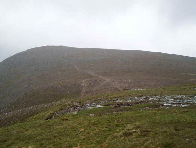
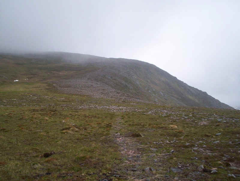
with the path leading uphill into Coire Odhar en-route for The Devil's Point and
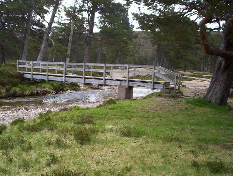
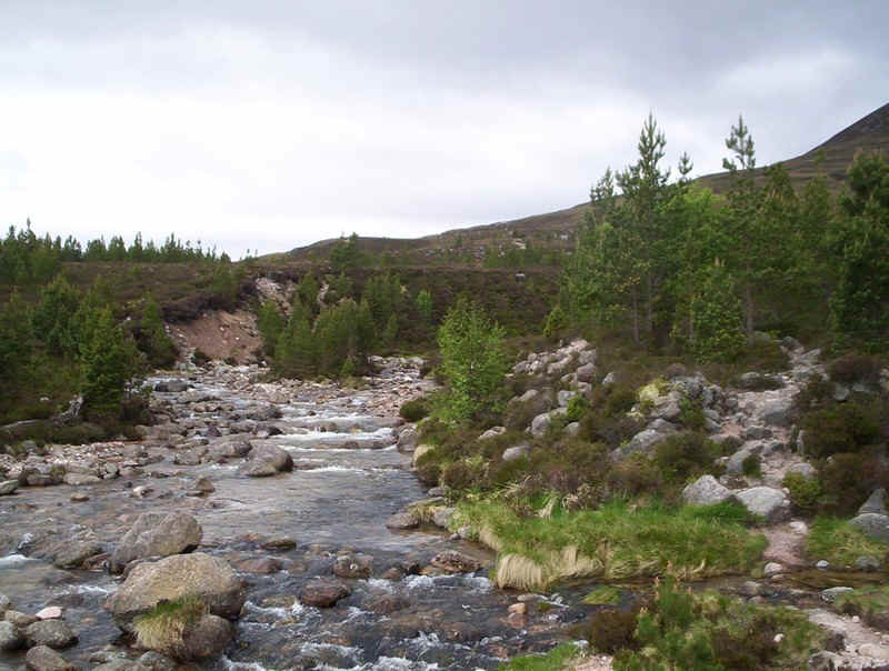
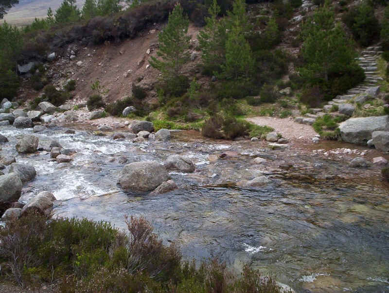
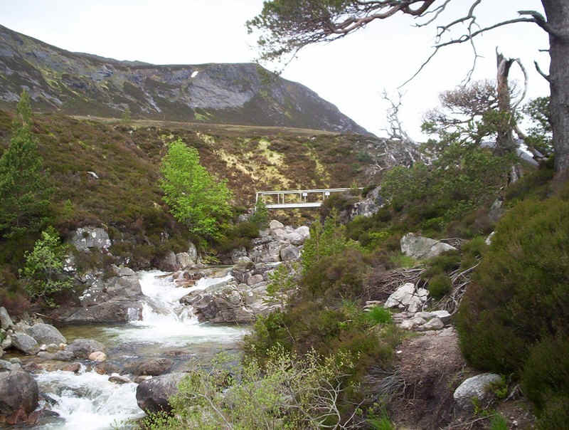
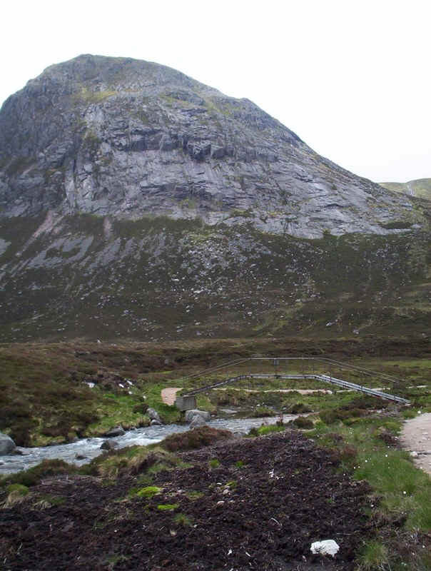
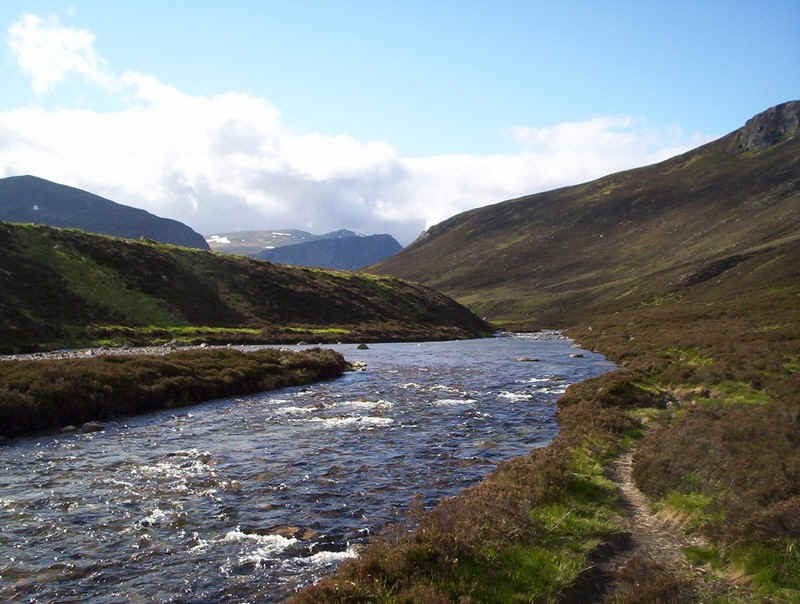
Cairn Toul. Thankfully, there is a very good bridge over
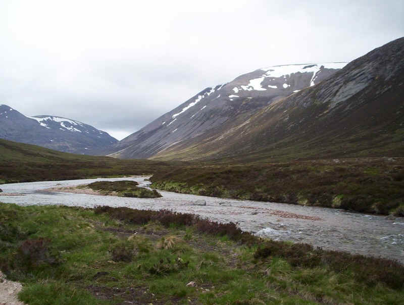
the River Dee. Above are the slabs of The Devil's Point. Looking upstream with plenty of snow left of
Ben Macdui on the right. To my delight I was still on schedule at
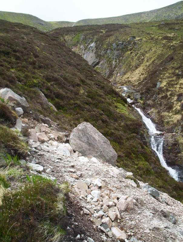
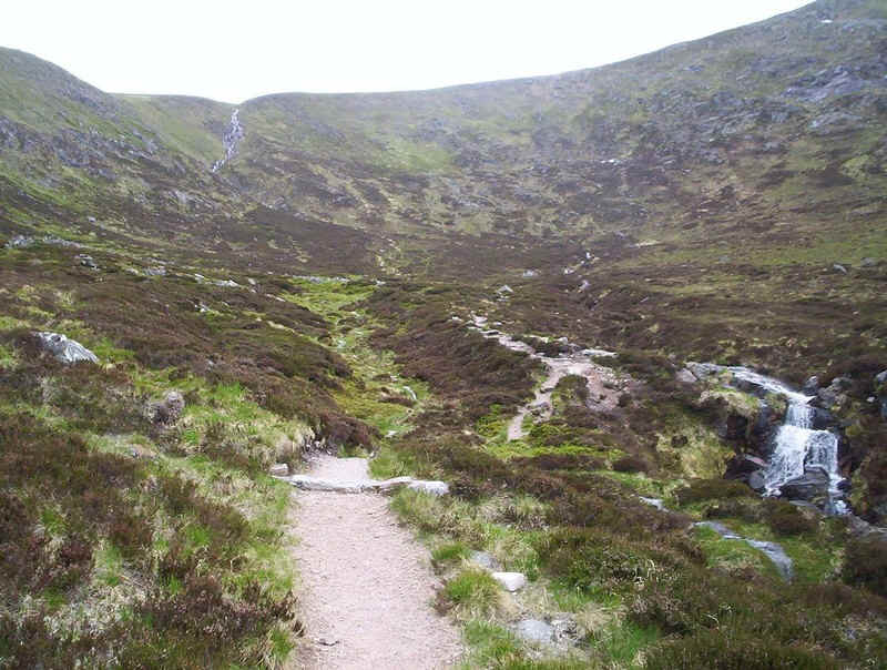
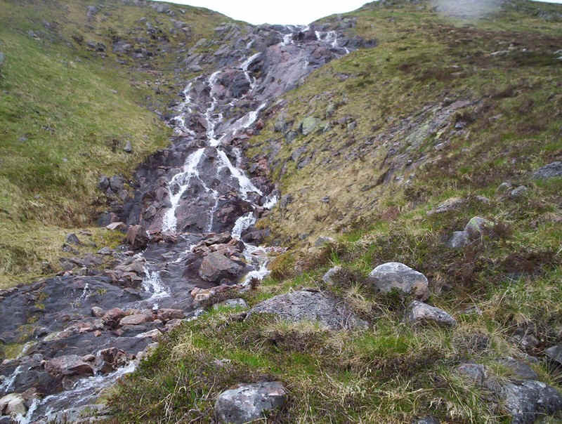
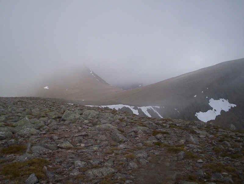
Corrour as I began the climb into Coire Odhar... .....past a fairly spectacular torrent.... .....as the rebuilt path climbs past the slabs. Once in the corrie the path heads straight for
the headwall where the stream can be seen in the distance. The final section to by the stream is steep and
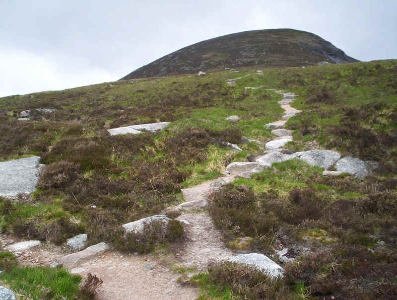
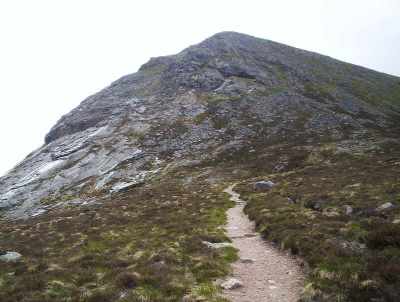
heavily eroded and needed some care especially on the descent. Once on the bealach there is an obvious path to
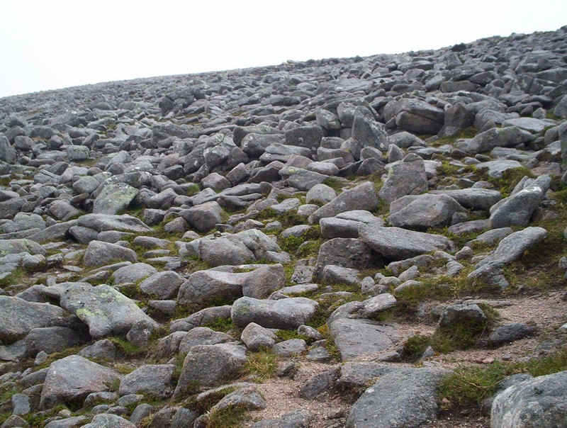
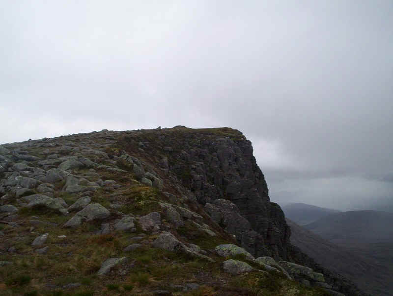
the summit of The Devil's Point... ....., inevitably, over boulders.... .....but the reward is reaching the craggy
summit... .....with its cairn and shelter. My arrival
here was, however, slightly later than expected just over 5 hours from Linn of
Dee. I had a somewhat extended lunch break with a conversation with another
walker so, not surprisingly, I was falling behind time....... The views from the summit were spectacular.
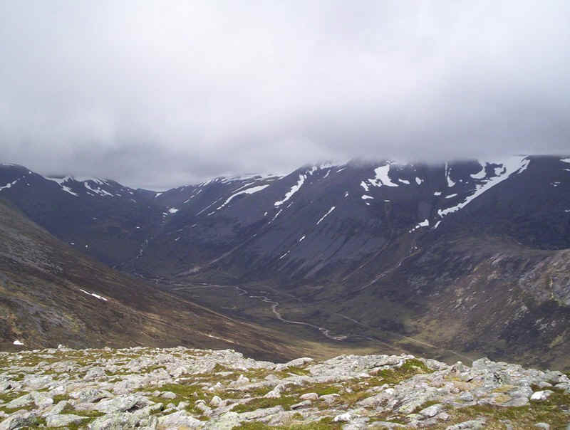
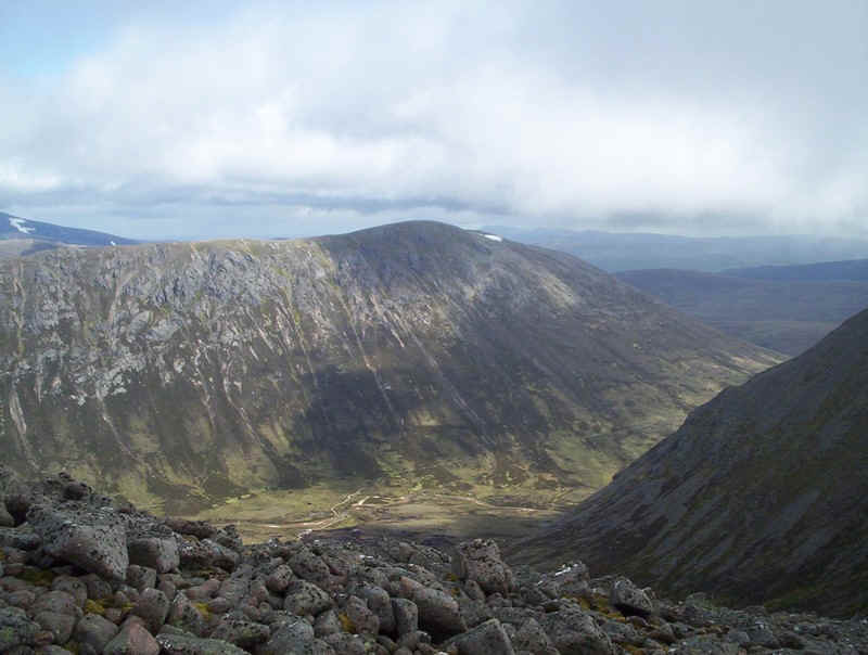
Here we see Cairn Toul ... .....and the view down Glen Dee... .....whilst Braeriach, the Lairig Ghru pass and
Ben Macdui are seen to the north. One of my favourite photos is this
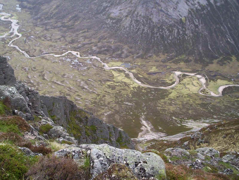
"helicopter" view down into Glen Gousachan. I must admit that a few
years ago I wouldn't have dared to take this photo with the sheer drop just a
few feet away. Once down at the bealach again the weather
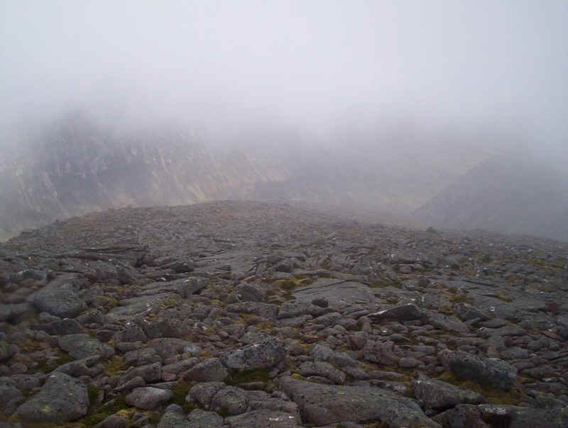
deterioated markedly with thick cloud and increasing wind. I know made a mistake
as I followed what appears to be a clear path along the crags. Brief clearances of the cloud gave me this view
of Carn a'Mhaim and its long northern ridge to Ben Macdui. However, the cloud soon came back in and to
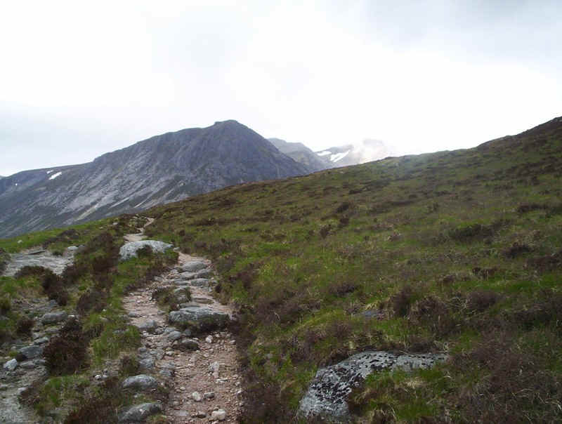
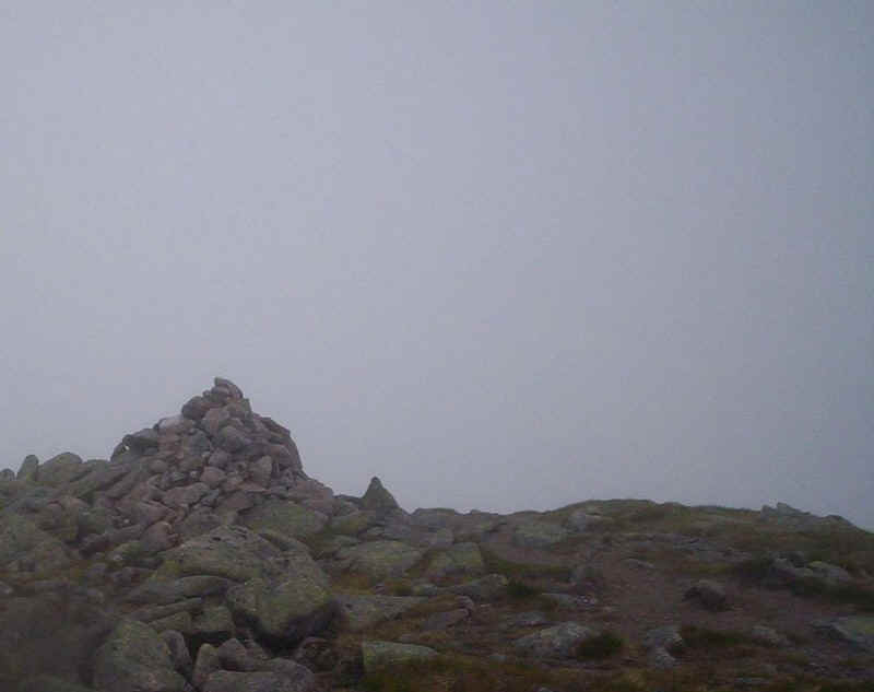
make matters worse the terrain became more difficult. It took nearly forty
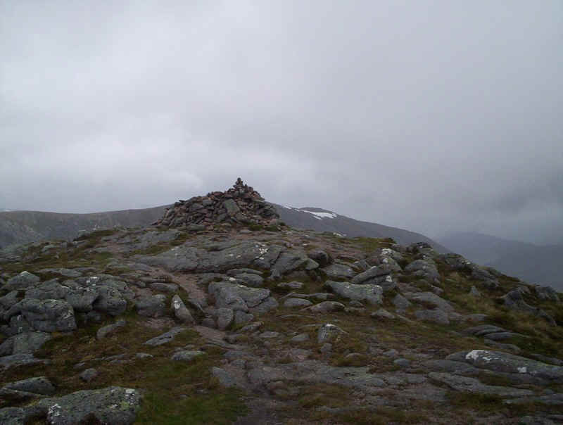
minutes of boulder hopping..... ....to reach the summit of Cairn Toul's south
top. By the time I'd descended to the bealach below Cairn Toul it was 15.00 and
I was running seriously late. To make matters worse the wind strength increased
so I decided that, if I wanted to be back at Linn of Dee at a reasonable time I
would have to abandon my attempt to reach the summit of Sgor an Lochain Uaine. I
estimated that it would take about another hour to complete the walk and clearly
I didn't have that. So. on the basis that hill walking is supposed to be fun and
not an ordeal I turned and began the long walk back to Linnof Dee, As I turned around the clouds briefly lifted to
show me the slopes of the Angel's Peak but I was in no doubt that given the
weather conditions and the time I'd made the correct decision. In one of those quirks of hill walking I now
discovered a much easier path down from the summit of the south top, which lies
further west away from the boulders. What a pity it's not more clearly visible
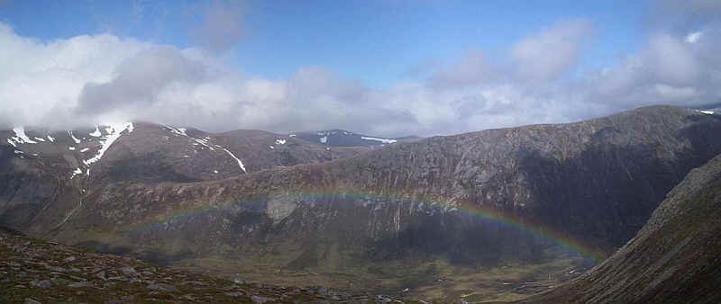
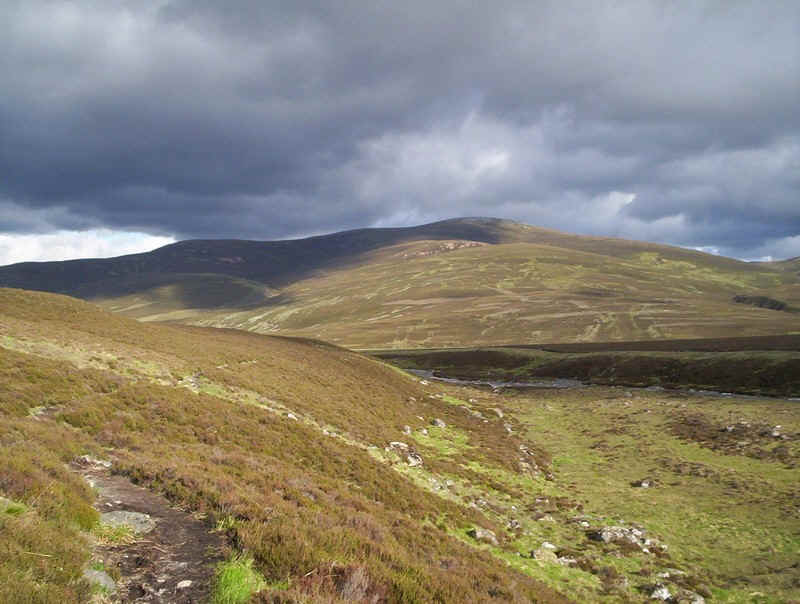
lower down at the bealach. As I reached the top of Coire Odhar this
magnificent rainbow appeared. By the time I was back across the Dee near
Corrour Bothy it was nearly 17.00 and I still 13km back to Linn of Dee. To make
a more satisfying walk I'd decided that I was going to return via the Glen Dee
path. It's very slightly further and, in some ways, a more demanding path as
much of the first half of the route is across boggy and not very well defined
tracks. The Derry Lodge route is probably the easier and faster route back. On
the other hand I found the Glen Dee route much more attractive, especially on a
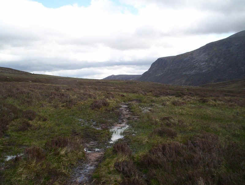
lovely summers evening. Much of the path is wet and not always
completely clear.... Here the track climbs away from the river..... ......before becoming more clearly defined. A glance backwards gives this view.... ....before the track runs closer to the river. .....and another final backward glance at the
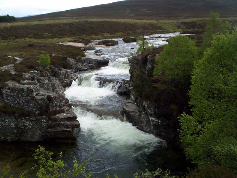
high hills. The path climbs away from the river before.... ......reaching the falls at the Chest of Dee... ....and the White Bridge. By now I wanted simply to be back at the car
park and the thought of an evening meal spurred me on to "yomp" along
the estate track from the bridge to the car park. I even indulghed in some
jogging on the smooth sections of the track. Not to bad for a 58 year old with a
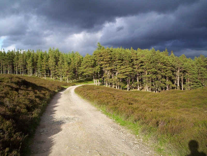
rucksack and at the end of a long walk! Eventually the woods at Linn of Dee appeared
and the evening sun lit up the connifers in quite a spectacular way. It was
19.45 when I arrived back at the car. I suspect I shall make another attempt to reach
the Angel's Peak another time. At least I now know where the easy path up Cairn
Toul is...
View
Devil's Point and Cairn Toul south top in a larger map