Alston to Greenhead
The way points on this map are taken from my GPS Spot tracker.
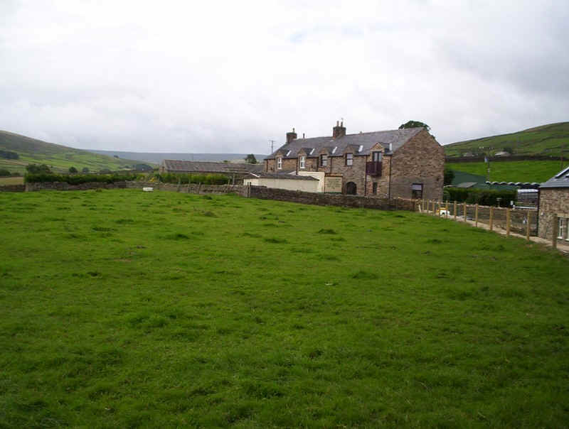
For the last stage of my three-day walk, I left Fran at the hotel straight after breakfast, with the arrangement to meet her at the hotel in Greenhead for a meal that evening. So, whilst she went to explore Hadrian's Wall, I headed off down the River South Tyne valley.

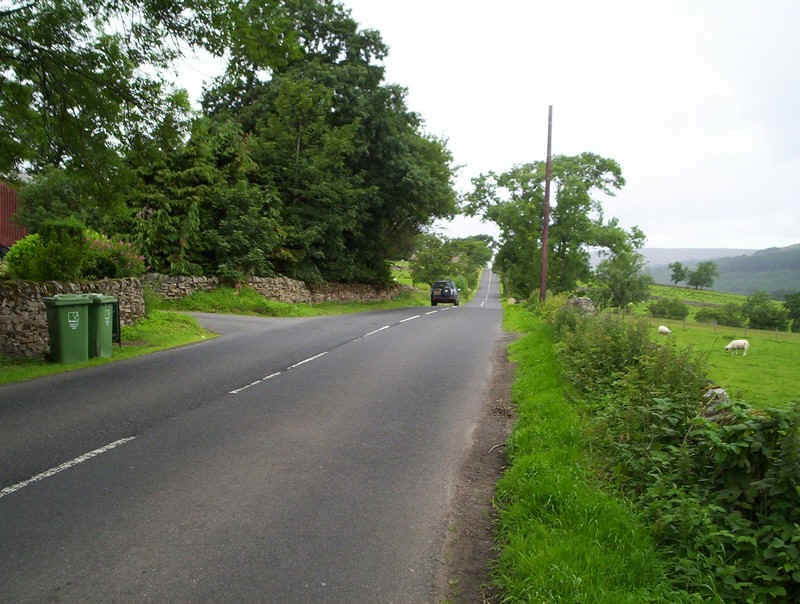
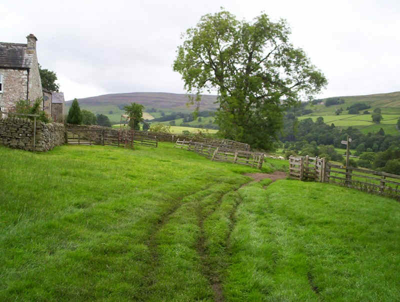
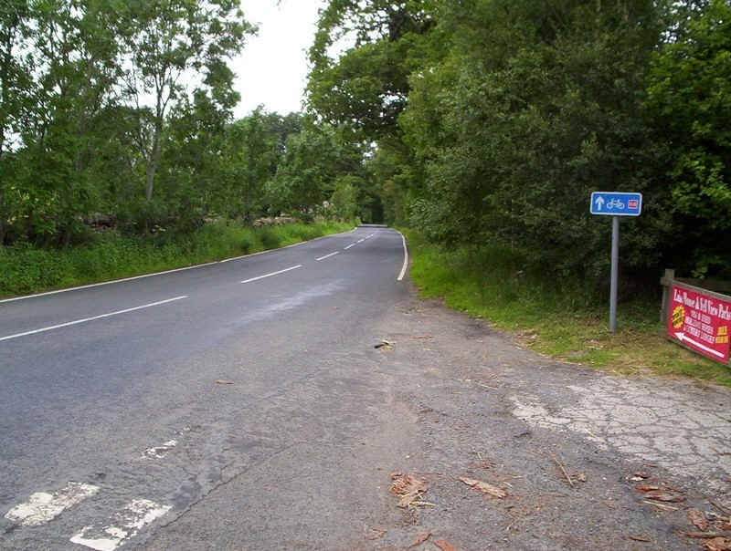
Leaving the town on the main road to Penrith.....
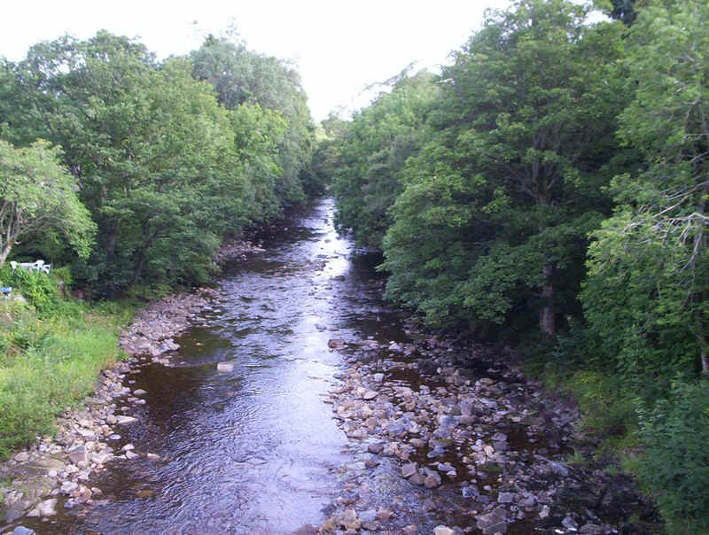
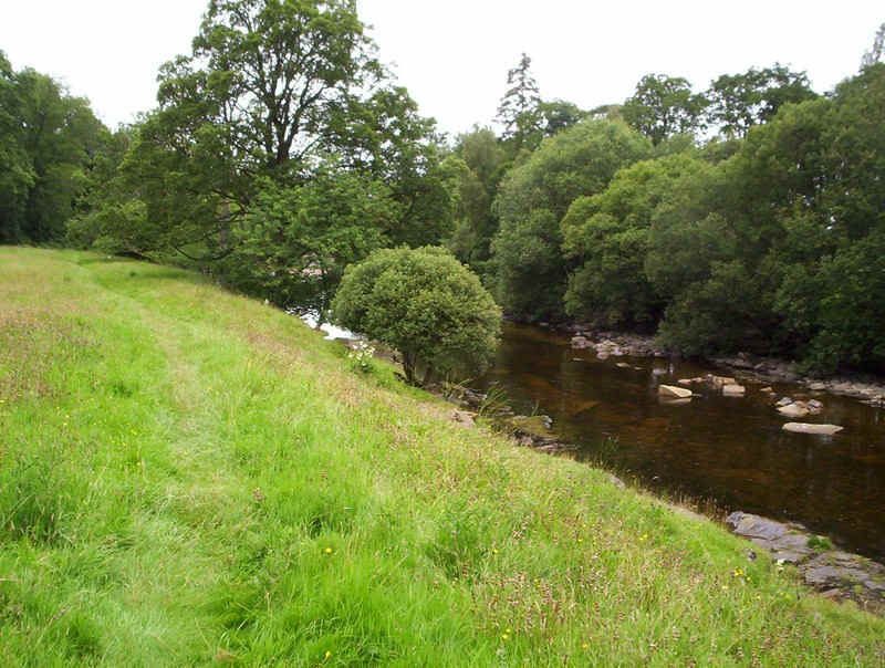
....the river is crossed....
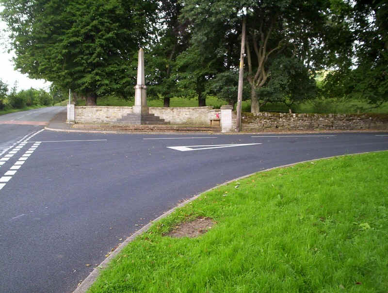
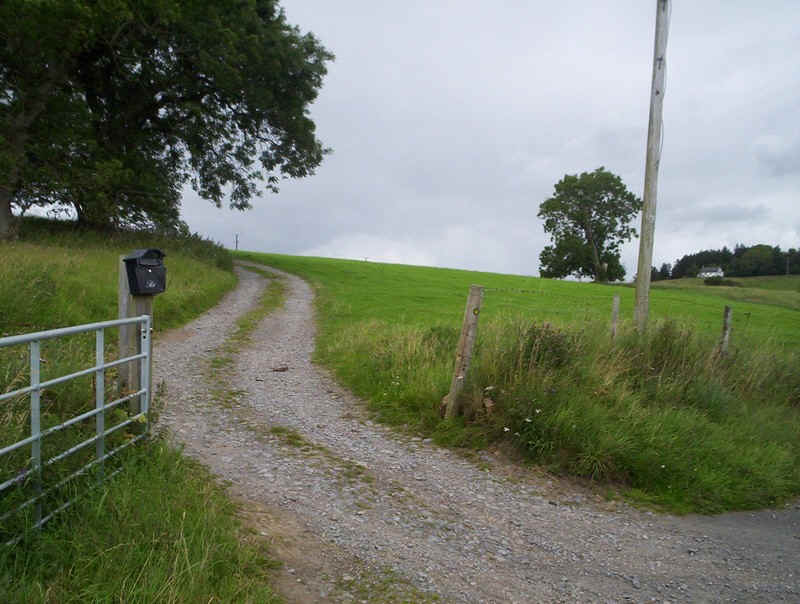
....and the right turn opposite the memorial is taken...
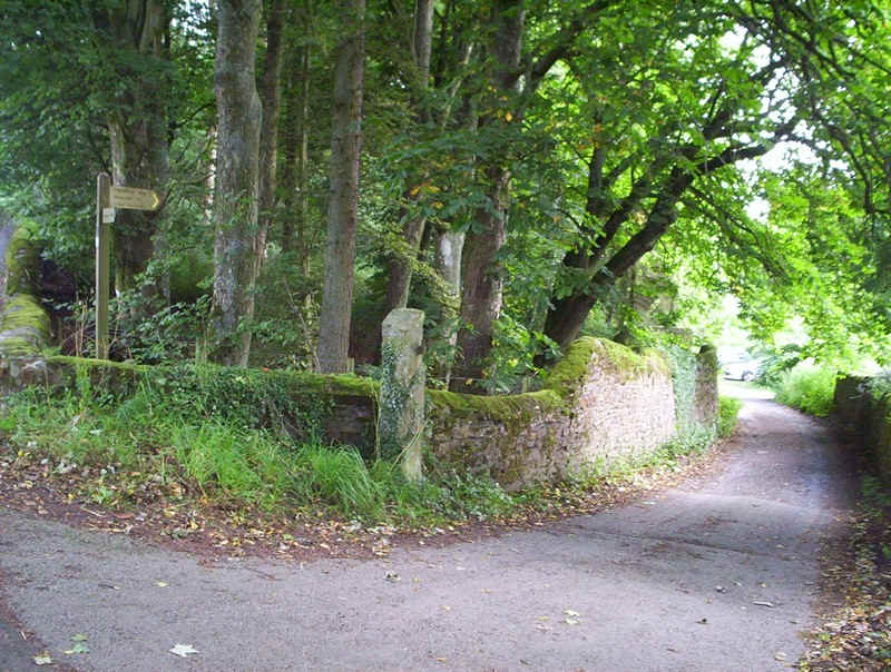
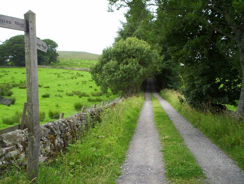
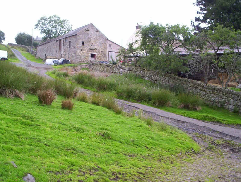
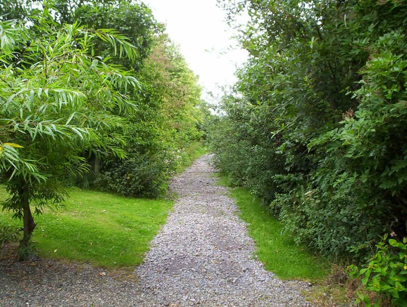
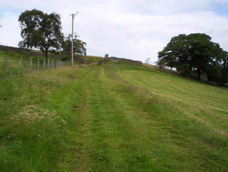
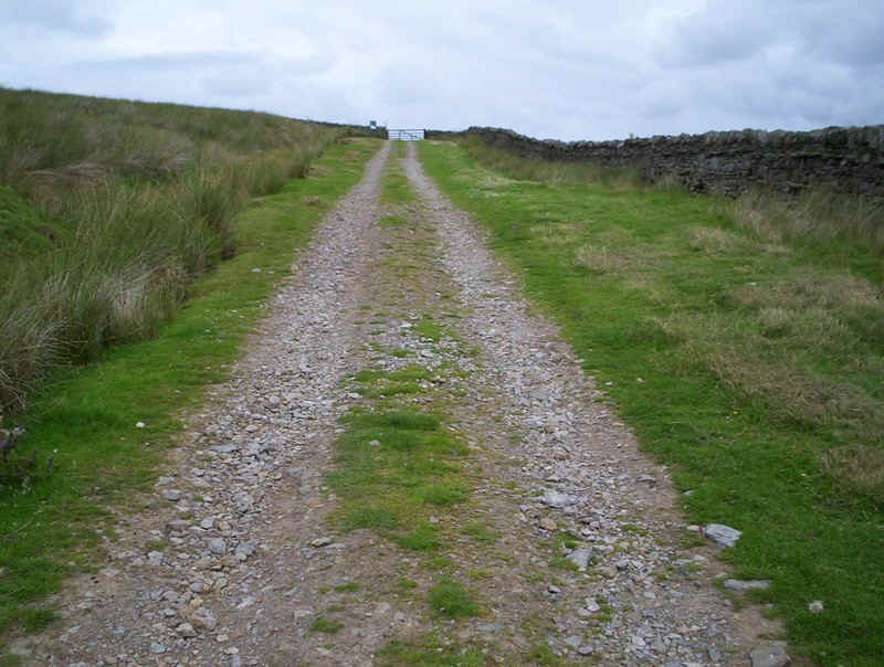
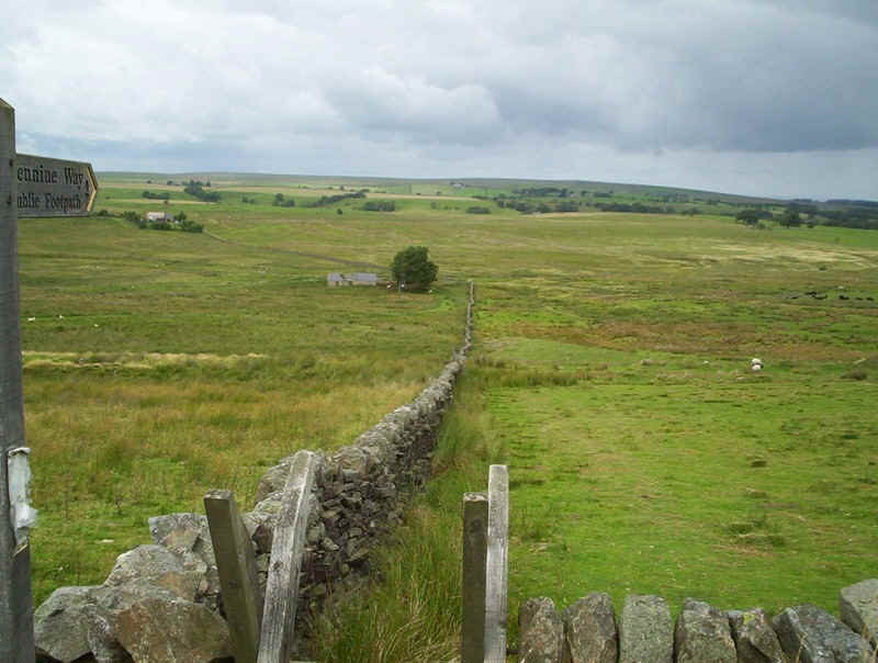
.....and, almost immediately, the Pennine Way sign points down this access lane.
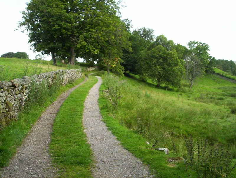
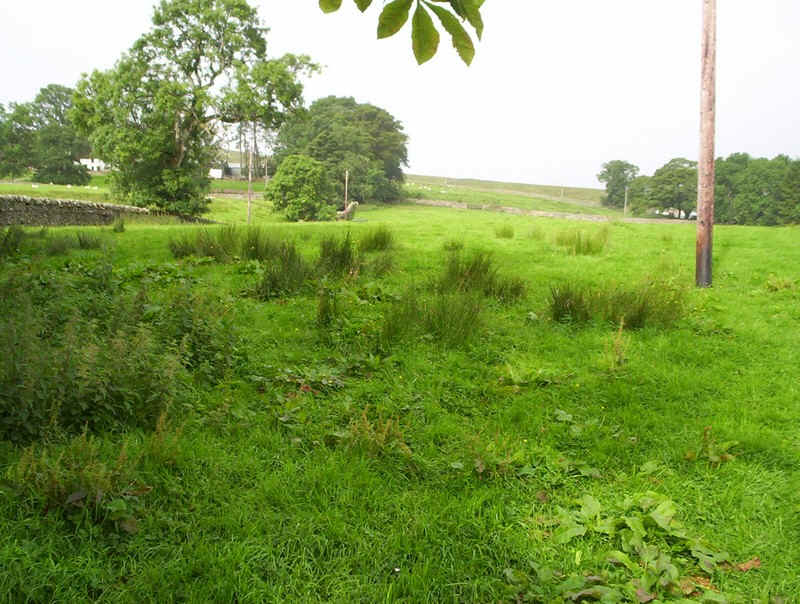
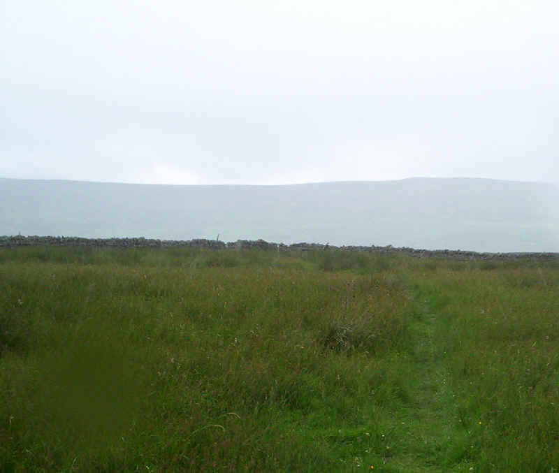
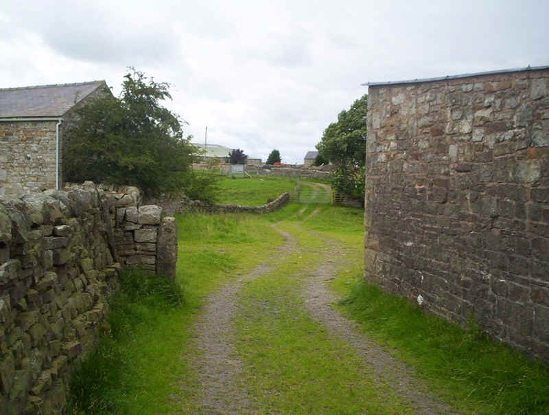
After a short while the PW....
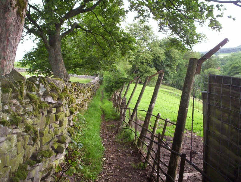
.....squeezes between walls and fences and across meadows to reach...
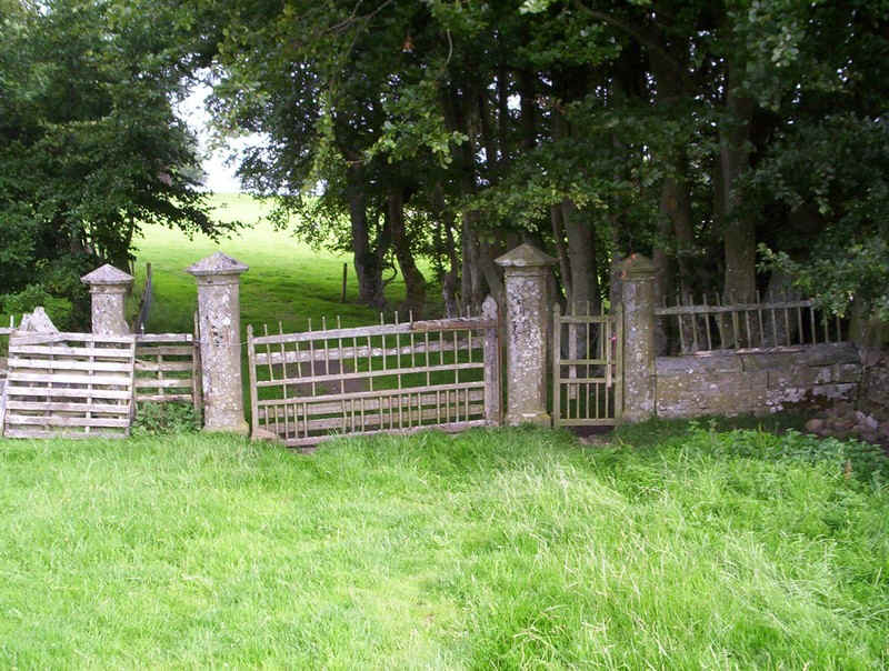
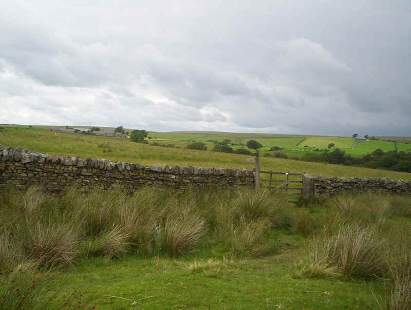
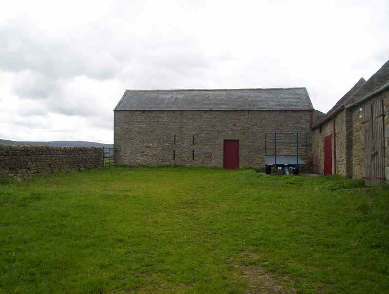
.....these imposing gate posts. I presume this was once the main entrance to Harbut Lodge...
.....which lies just beyond up the hill.
Beyond the lodge, the signs are, once again, a little confusing, implying that the PW goes straight up the field, whilst it actually cuts across it diagonally to .....
....reach the present access lane to the lodge.
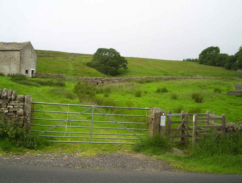
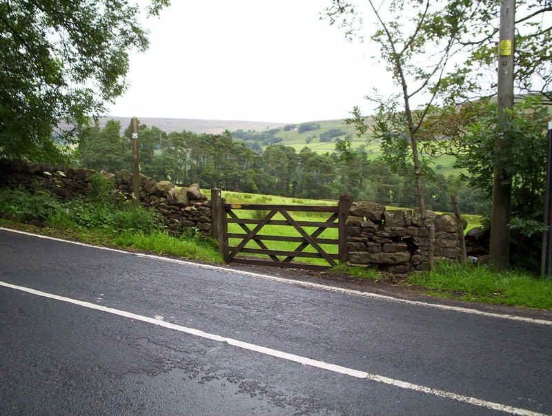
There's now a short distance to walk along the Alston to Carlisle road....
....before heading uphill across meadows....
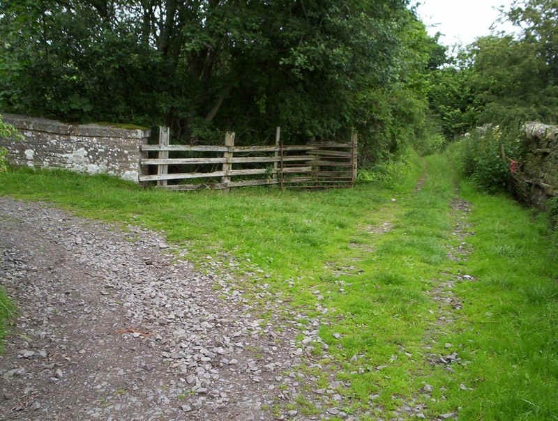
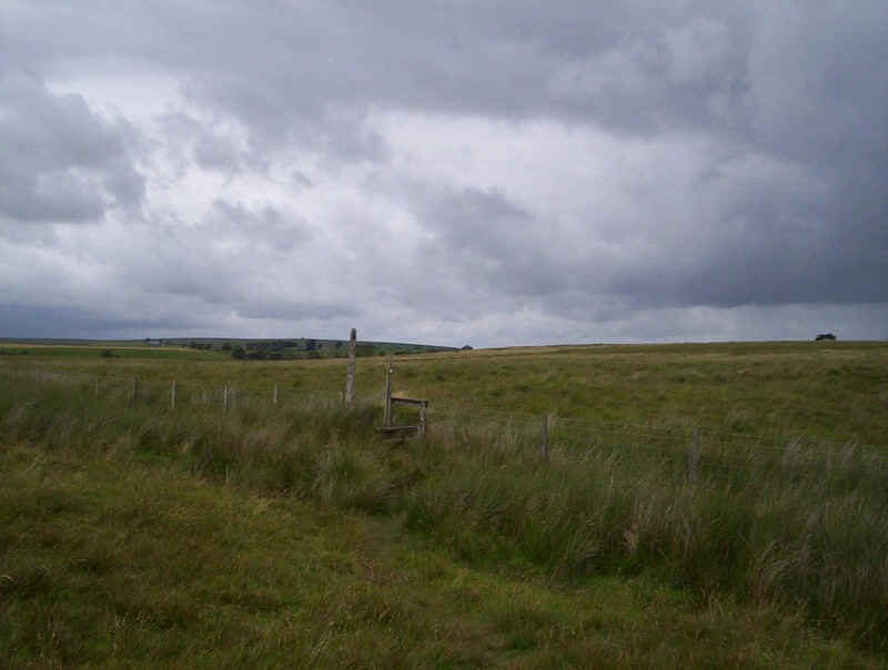
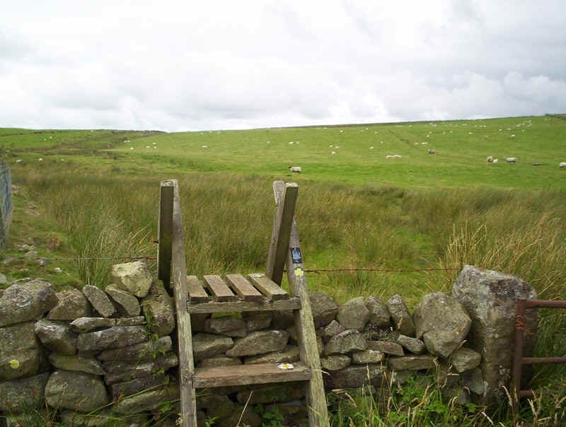
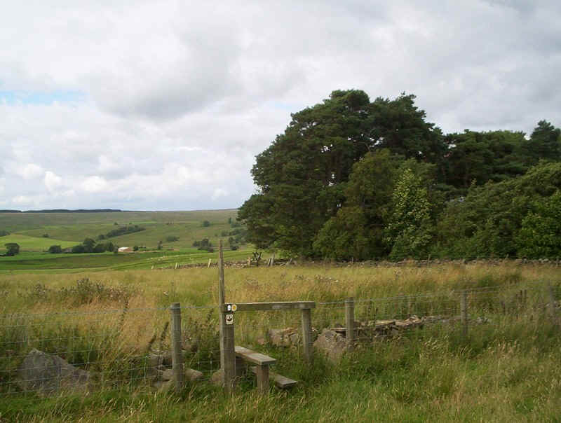
.....to eventually reach a wall.....
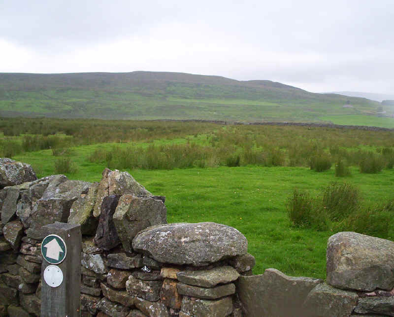
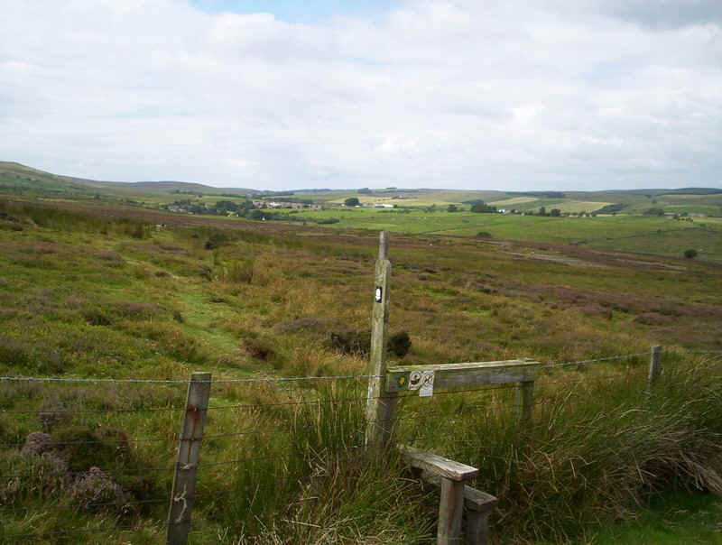
.......with a stile.
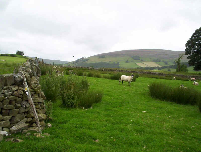
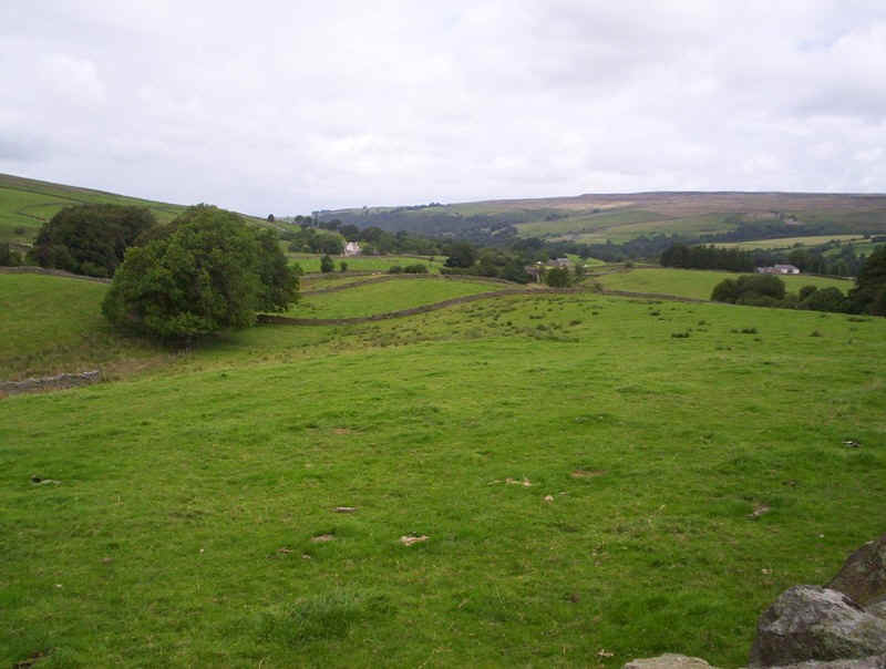
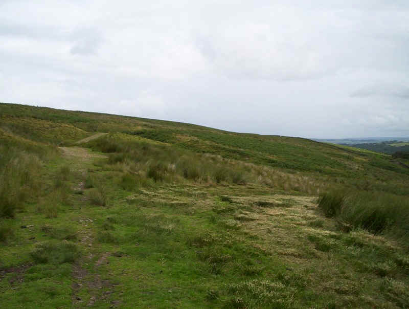
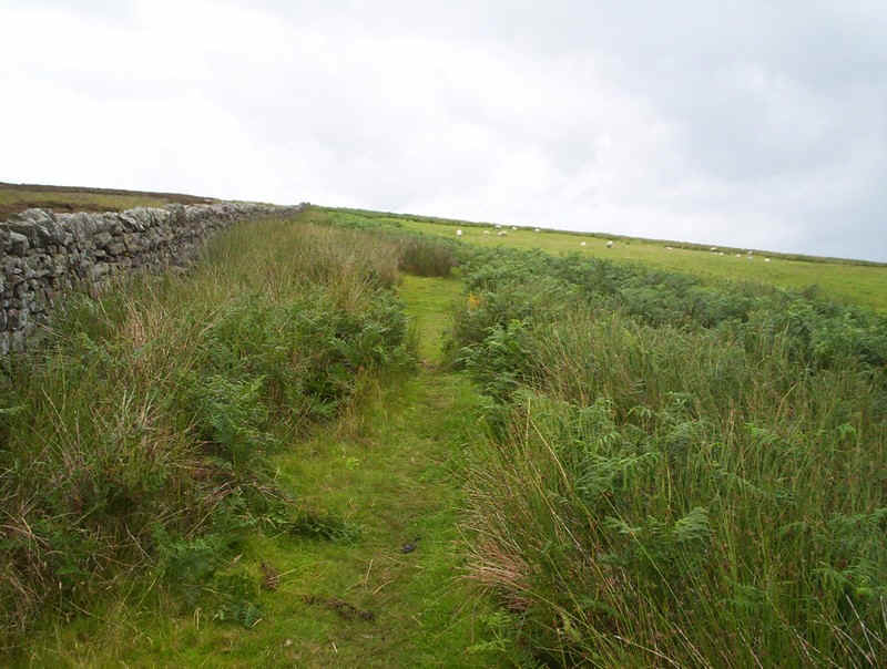
The PW continues across the hillside......
.....heading for this dip....
......down to a footbridge and then up....
...to another rather confusing section. There's no sign but the PW continues straight uphill by the wall to...
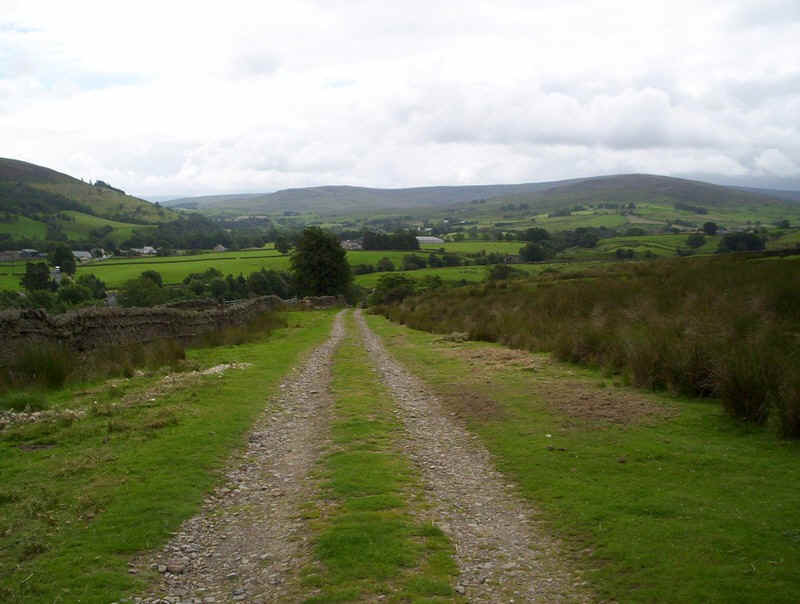
.....join a track that comes up from Whitlow Farm.
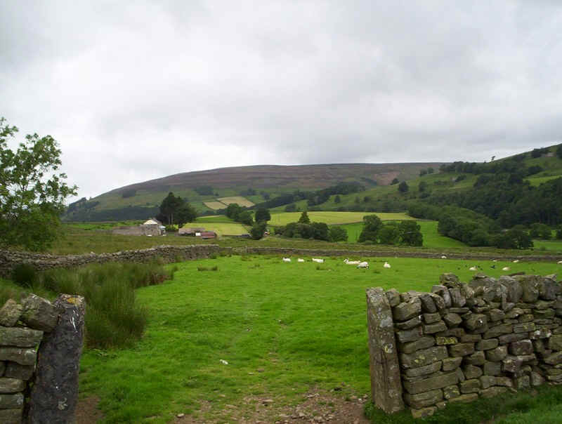
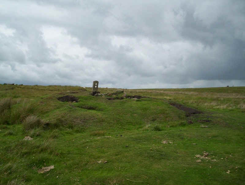
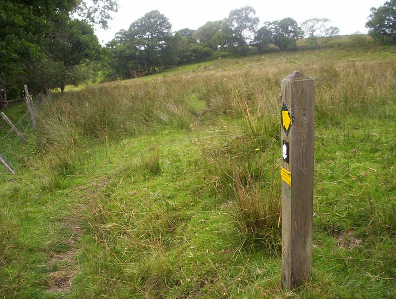
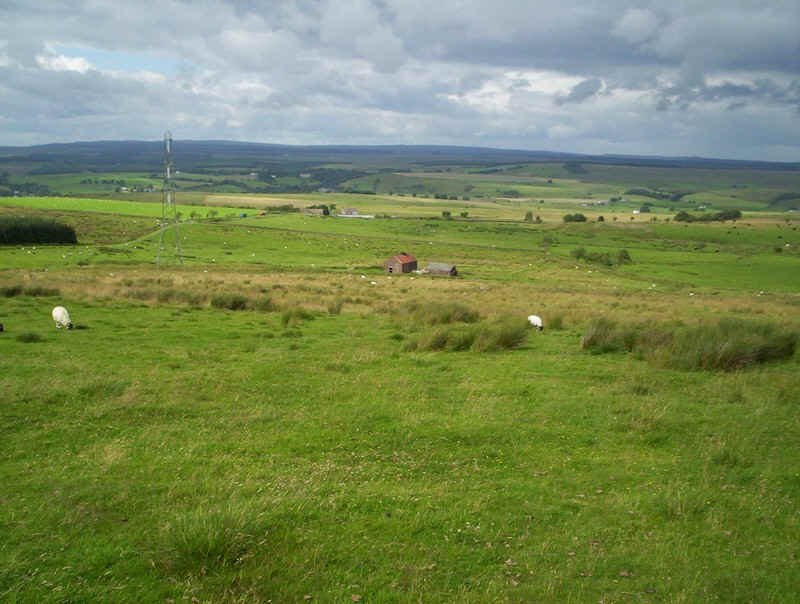
Continuing to climb the path...
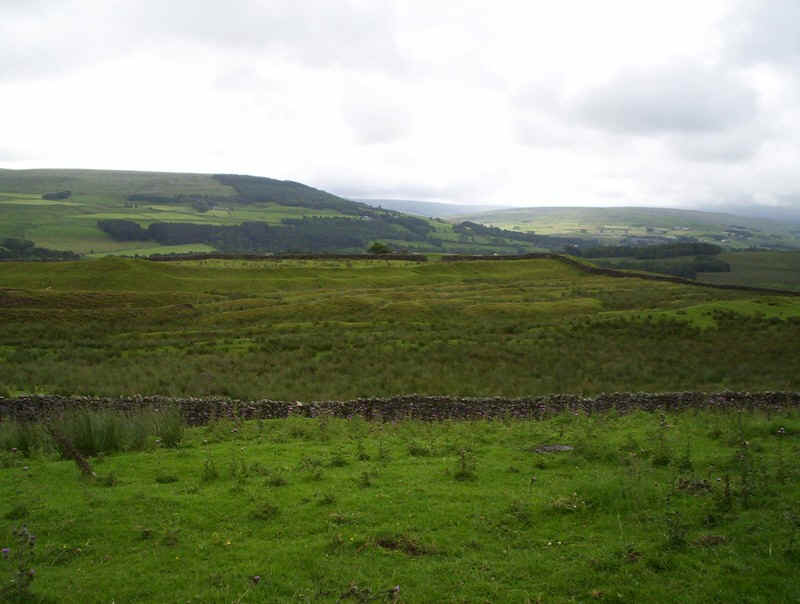
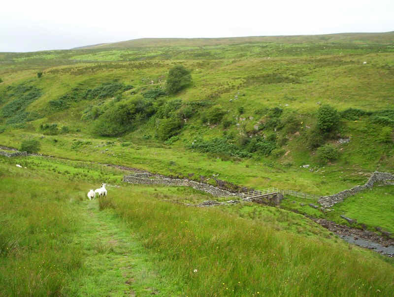
...passes the earthworks of Whitley Castle, an old Roman fort.
The PW begins to fall as it makes for Castle Nook farm...
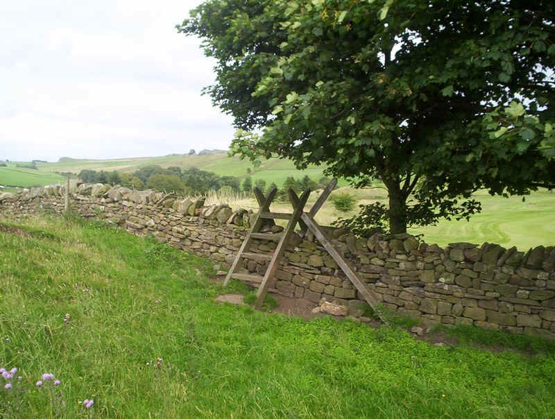
.....with a ladder stile...
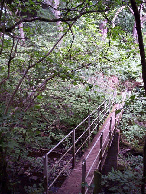
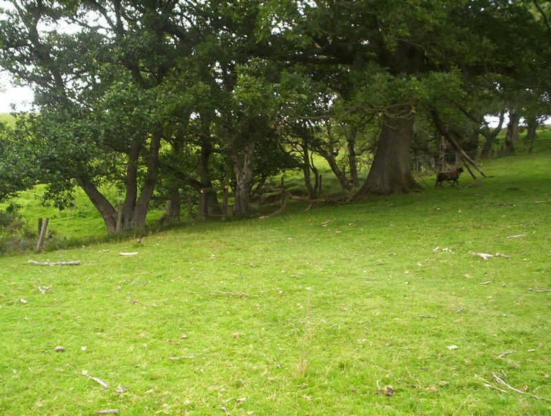
....leading down the meadow to a section through woods.
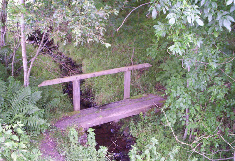
A simple bridge crosses the stream and then there's a short...
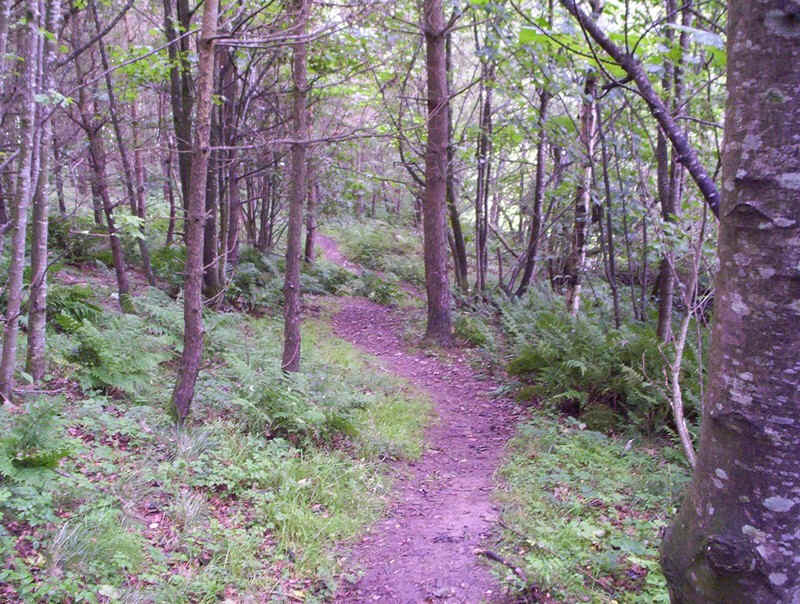
....but pleasant section through woodland....
......to reach the Carlisle road, which is crossed to re-enter meadows.
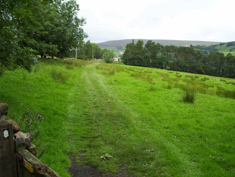
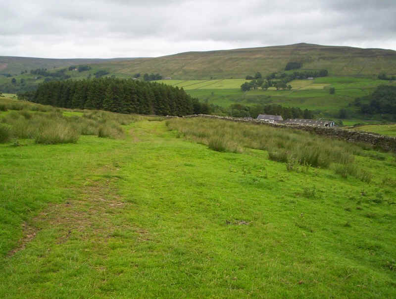
The PW continues on across the fields...
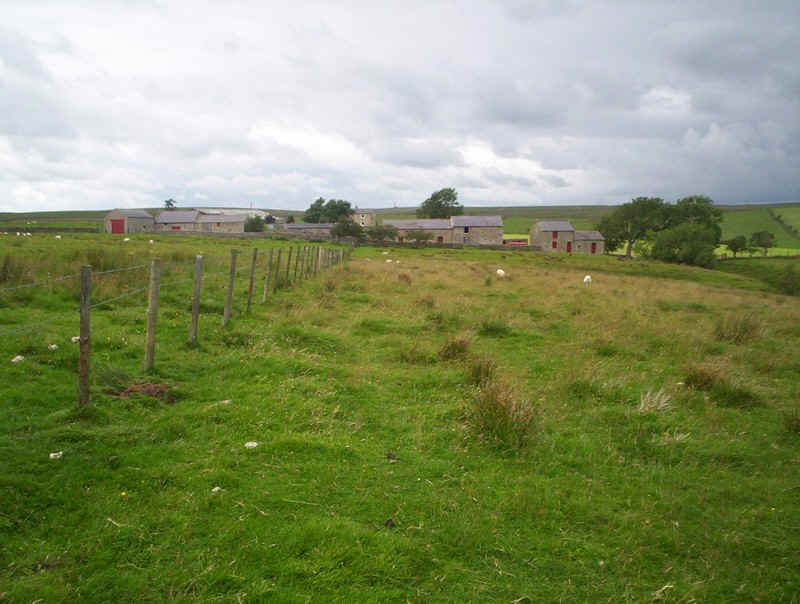
.....passing more farm buildings....
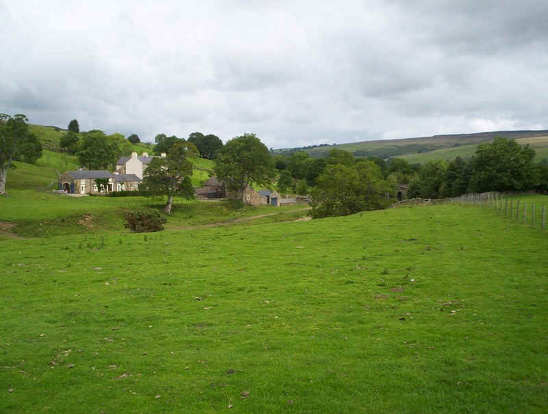
.....leading eventually towards Kirkhaugh Farm.
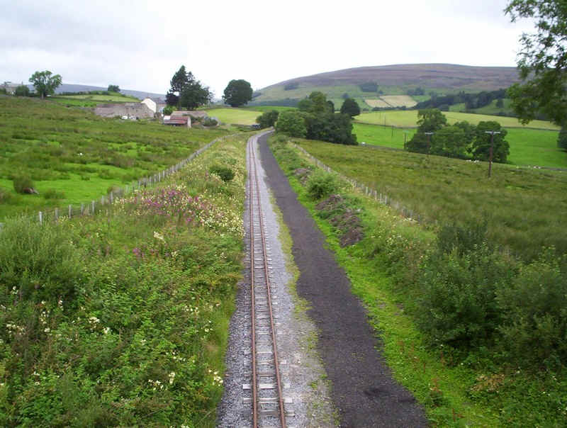
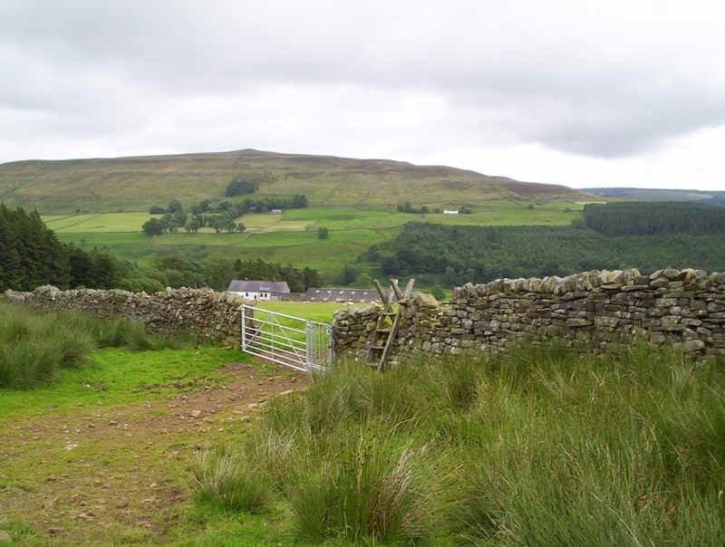
I couldn't resist wandering off to a bridge over the narrow gauge railway that is being rebuilt here.
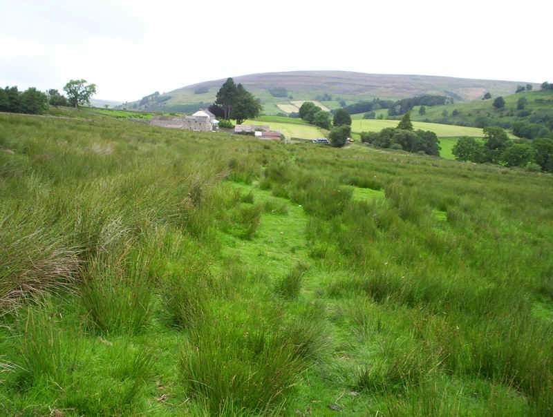
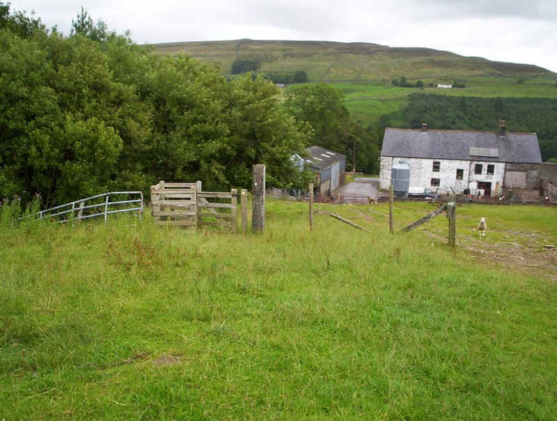
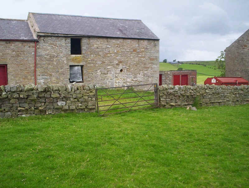
Then it was on to the farm....
....where the PW turns uphill...
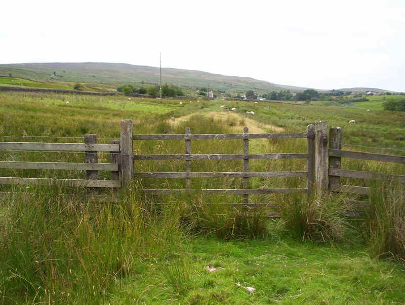
.....and then into a field with more poor signposting.
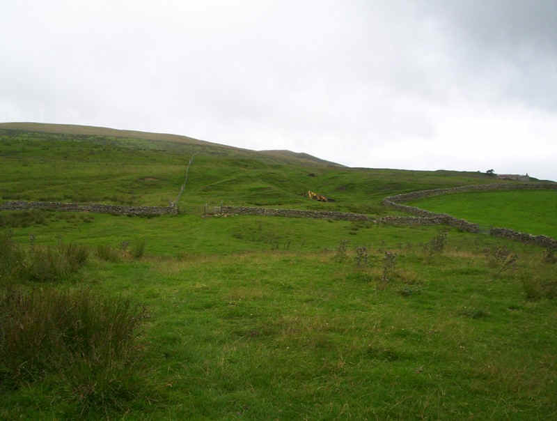
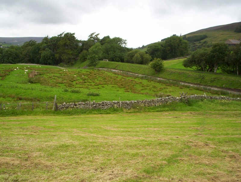
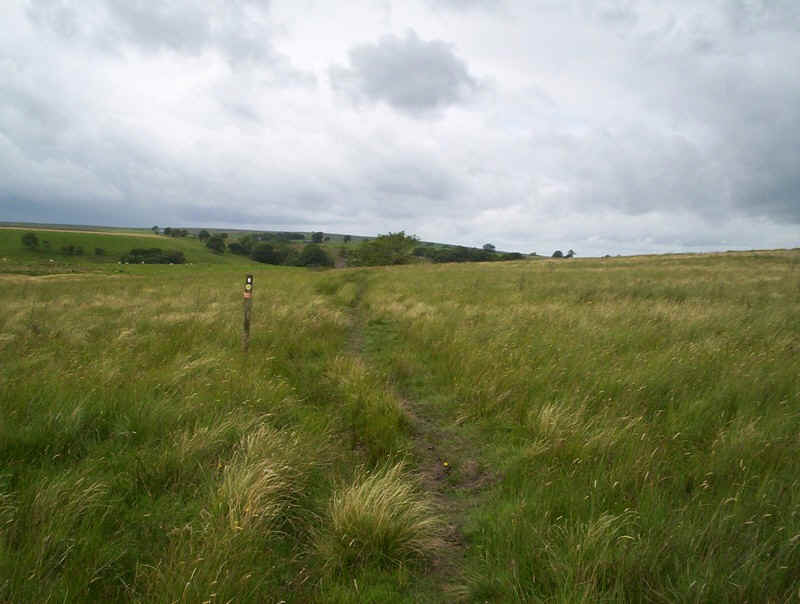
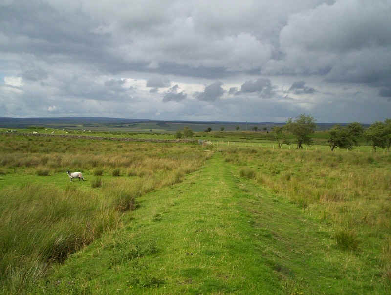
Onwards across more meadows...
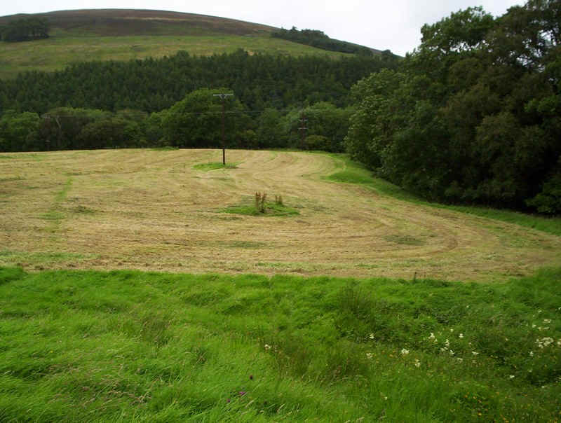
.....until the track rises to avoid marshy ground...
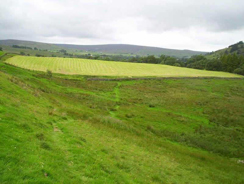
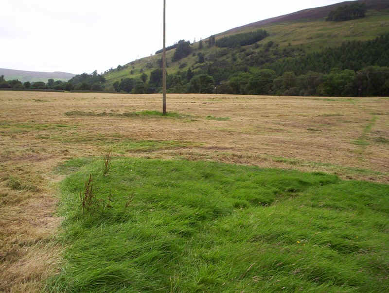
.....and then falls again as it crosses the recently cut meadow.
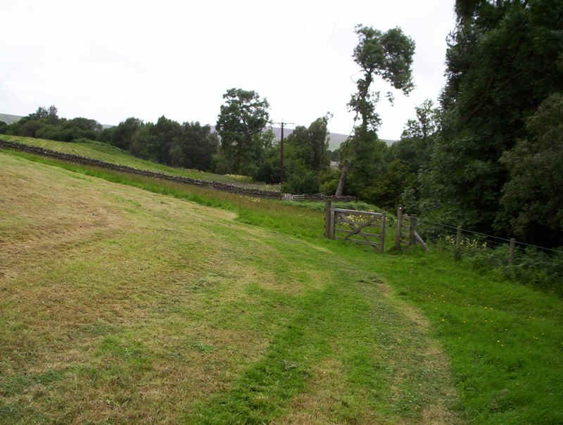
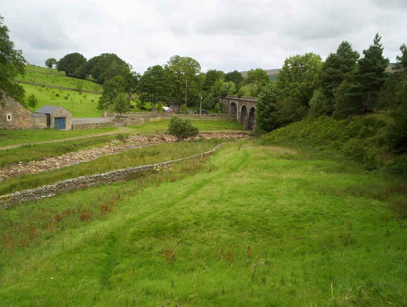
The path heads directly towards the old railway bridge...
....and then dips.....
steeply into a dark wooded area, crosses a footbridge and then ....
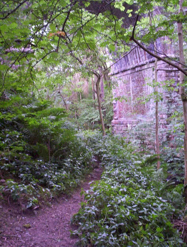
.....turns underneath the old railway viaduct.
Beyond there's a signpost instructing you to walk right around the field...
.....but clearly not many people do, so neither did I!
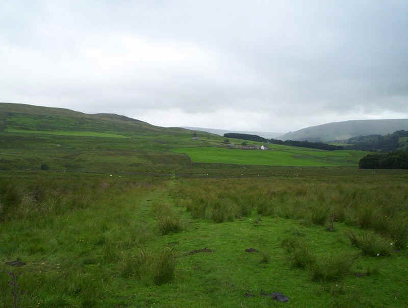
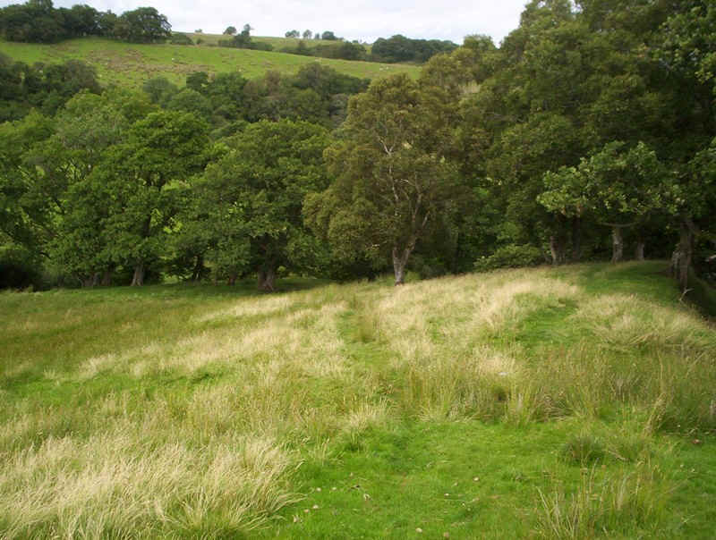
Once across the hay meadow the PW drops down...
...towards the river....
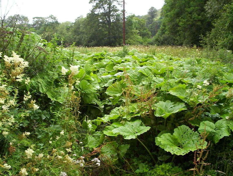
.....and then I was met by this sight. Unbelievably, there actually is a path through this shoulder height mass of dock leaves, but I dread to think it would be like for a child.
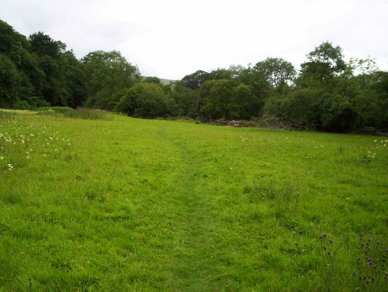
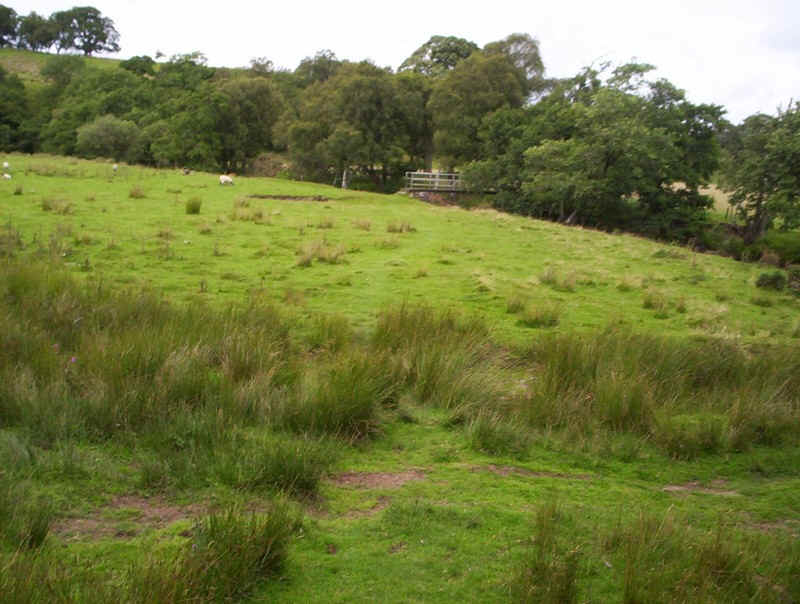
After escaping from the jungle it was a relief to be in the open again...
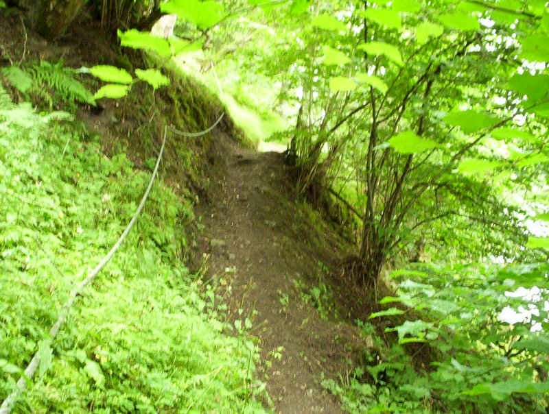
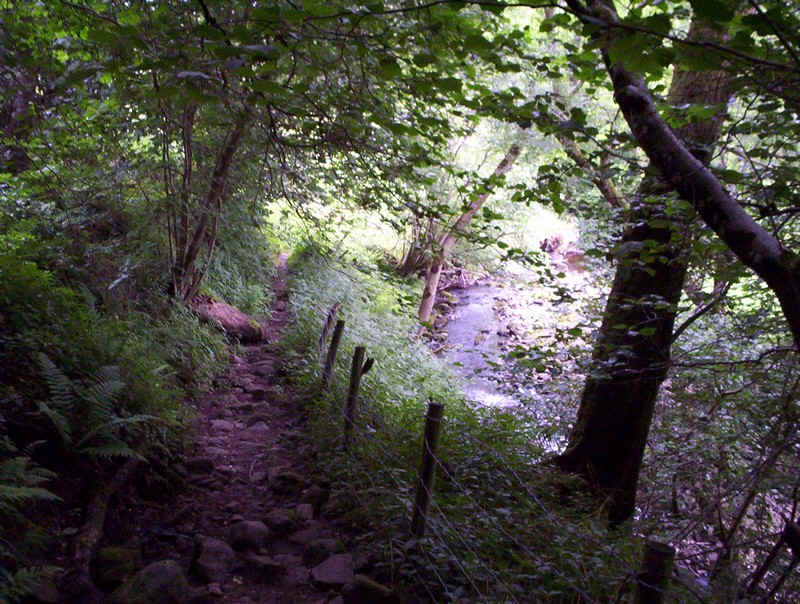
....but there was another surprise; a slightly exposed section of path above the river had a rope handrail; almost like being in the Alps.
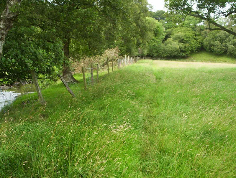
Beyond this the path follows the river and is clearly a popular bathing spot, as there are several pieces of life-saving equipment here.
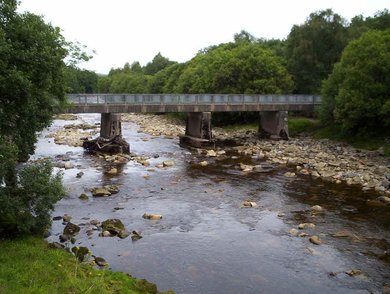
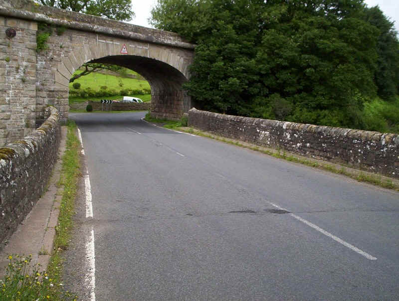
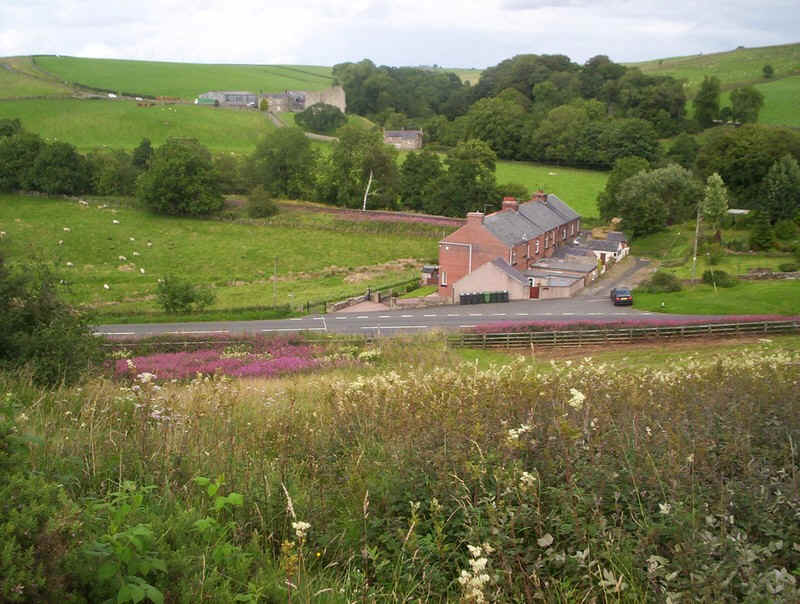
The bridge over the river signals the approach to Slaggyford.....
.....which, unfortunately, entails quite a long stretch of road walking. Still, the road wasn't particularly busy.
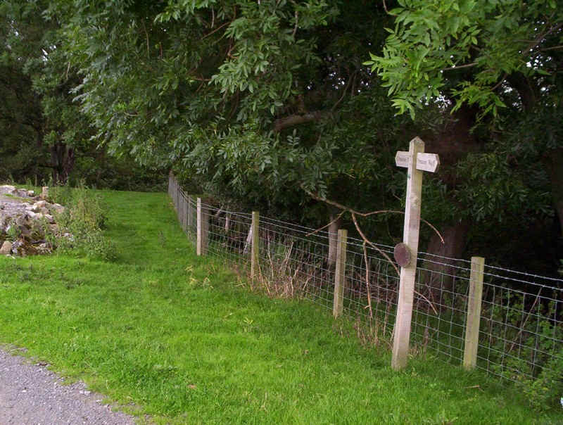
The PW turns off the road in the village centre and heads up to the house behind the tree on the green....
......where it turns off along this broad path.
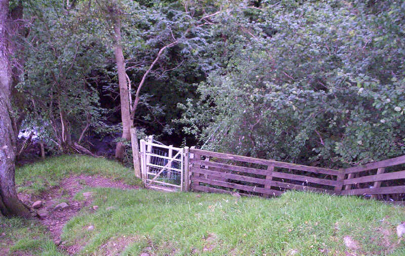
At the bridge over the old railway the PW continues straight on.....
....before dropping down to another footbridge...
....where the path turns right, loops round the field edge and goes under this bridge.
Then it's straight up the field.....

.....and across the meadow to the hamlet of Merry Knowe.
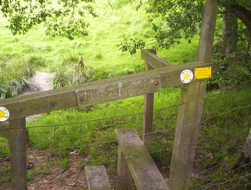
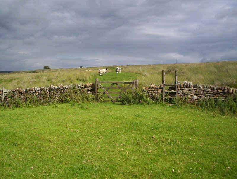
Here, the PW crosses no less than three stiles, as it heads through the back yards and gardens of the houses. It's not immediately obvious where the stiles are until you reach....
.......this one.
Beyond there's another gate...
.....whilst a glance back shows the terrace.
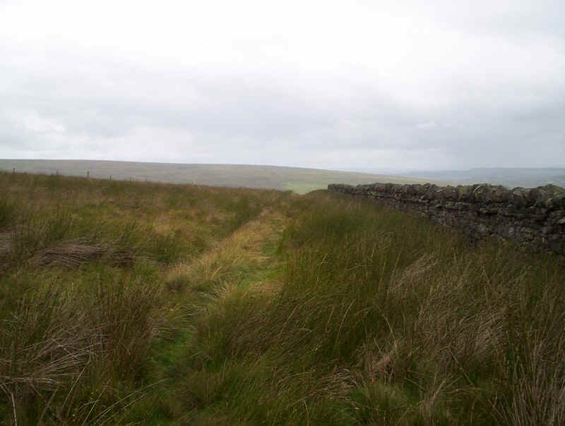
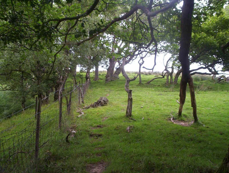
Now it's plain walking, as the path crosses a succession of walls....
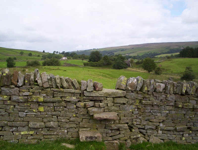
.....heading in the direction of the old railway bridge where you...
.....reach a lane.
After crossing the stile the path heads downhill......
.....towards the viaduct and past a sign reading "dogs running free"; such welcoming people! No sign of the dogs but my poles were at the ready.
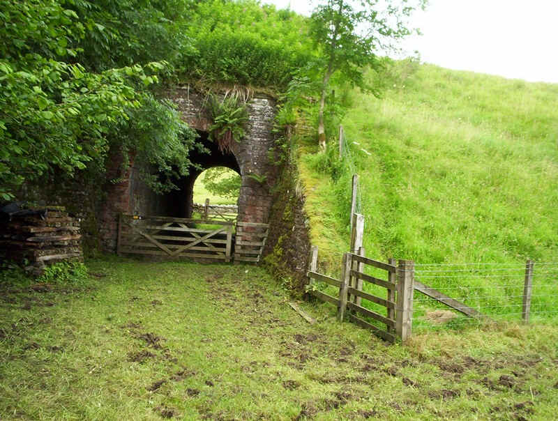
Then it's a short but careful walk under the bridge to...

.....this gate where a sign directs you...
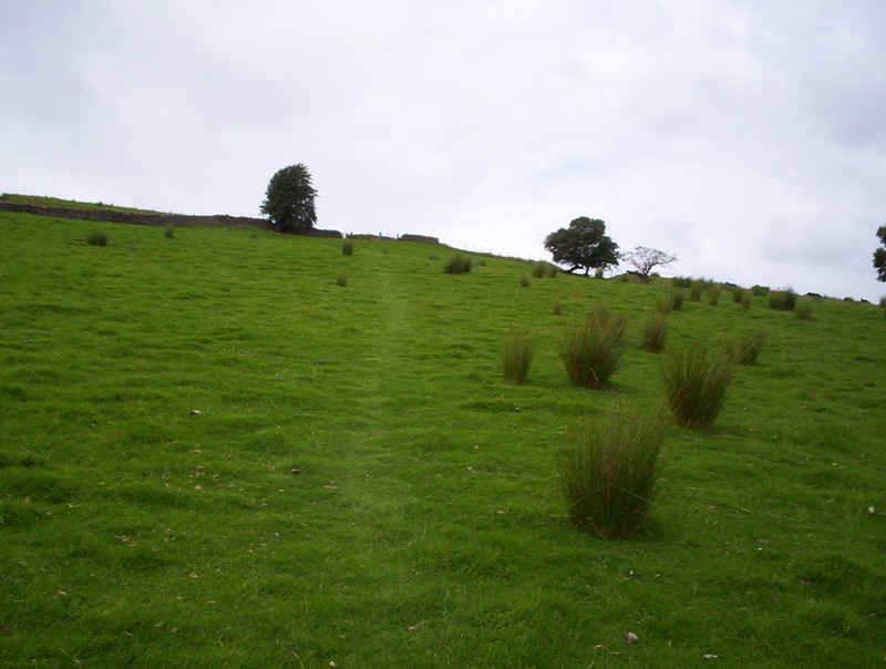
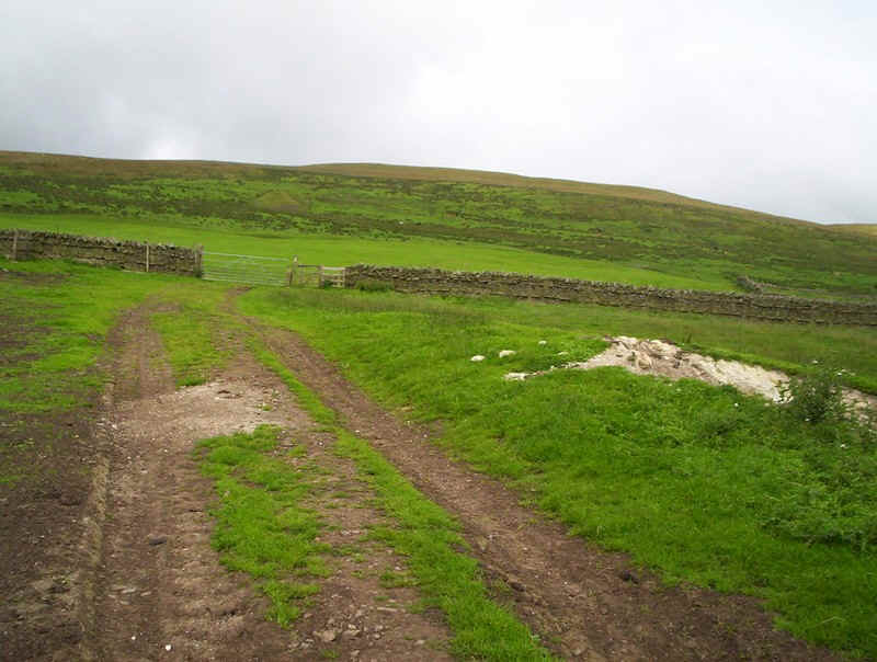
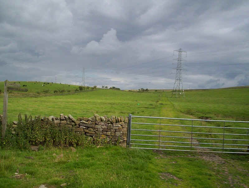
....uphill across the fields.....
,,,, to join an estate track.
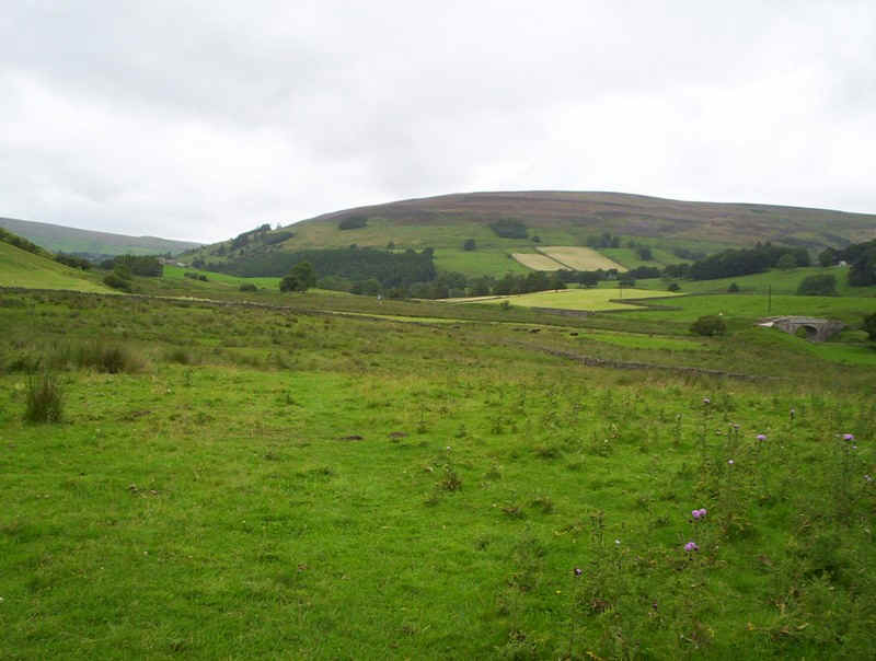
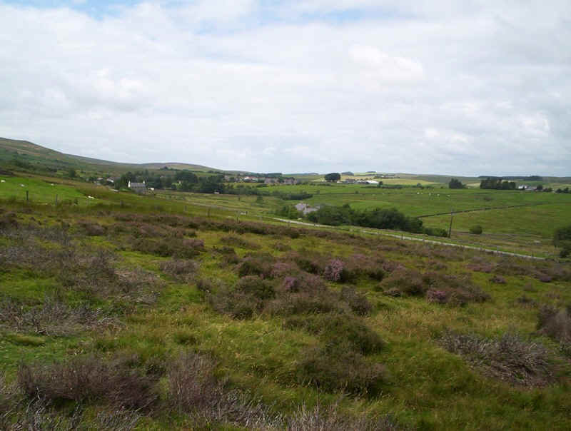
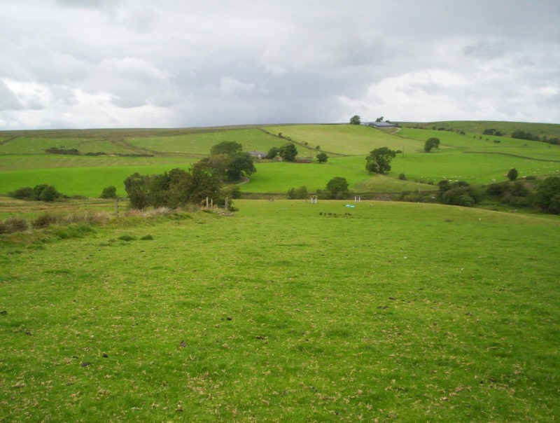
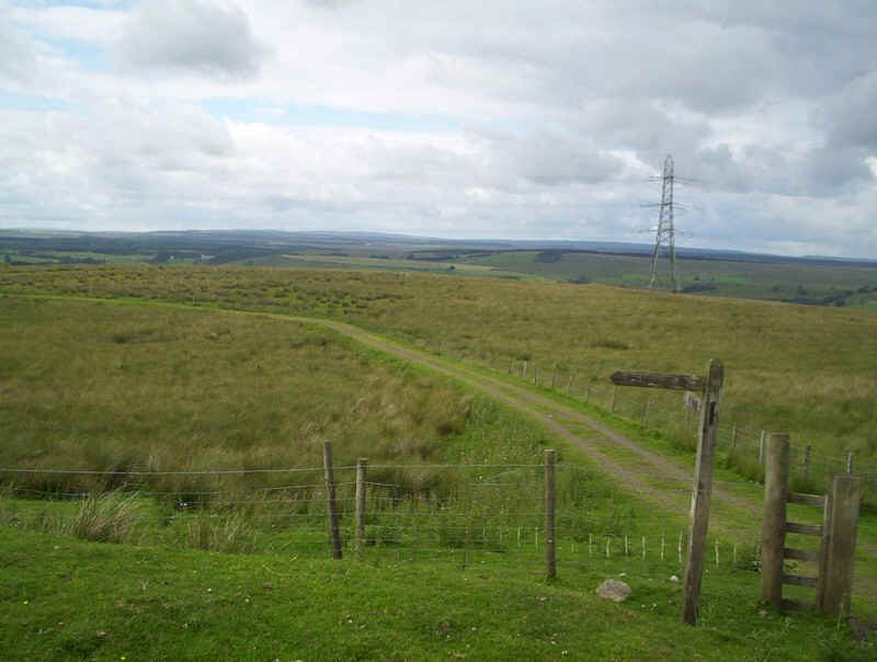
Here's a last look back up the valley.
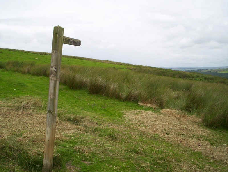
The signposts reads Pennine Way but there's no sign of a track.
Anyway I ploughed on in the direction indicated and...
....eventually a rough path appeared. This is actually the course of the old Roman road, the Maiden Way.
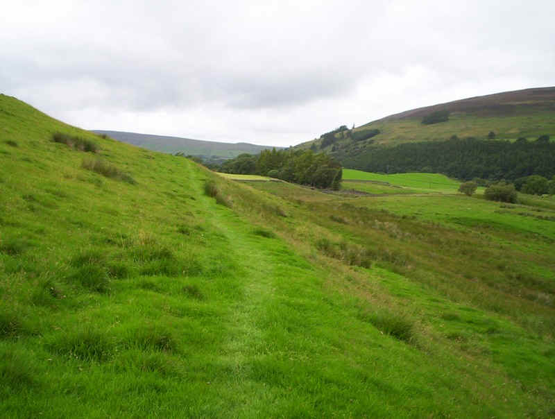
It follows a pretty straight line across the moor side...
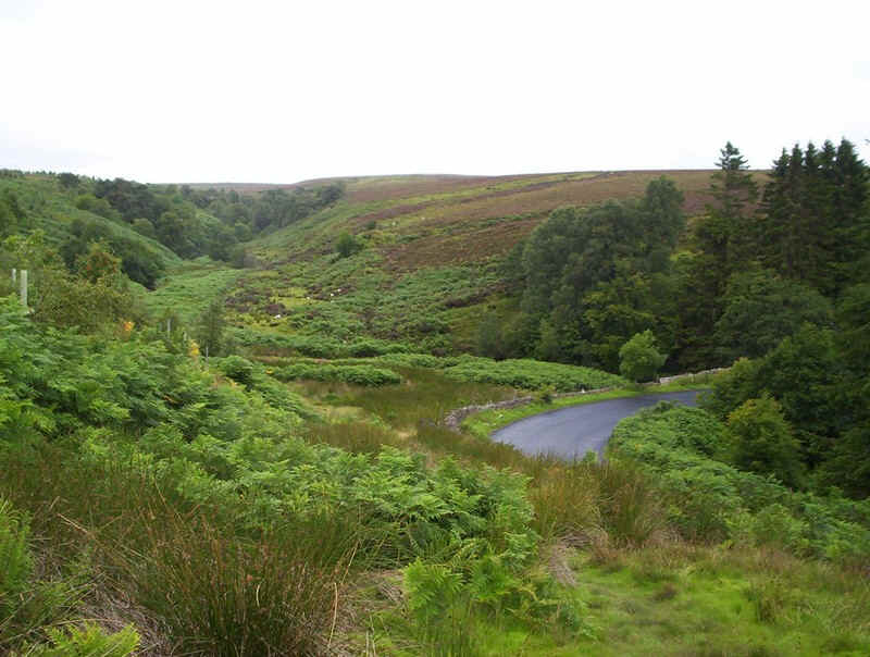
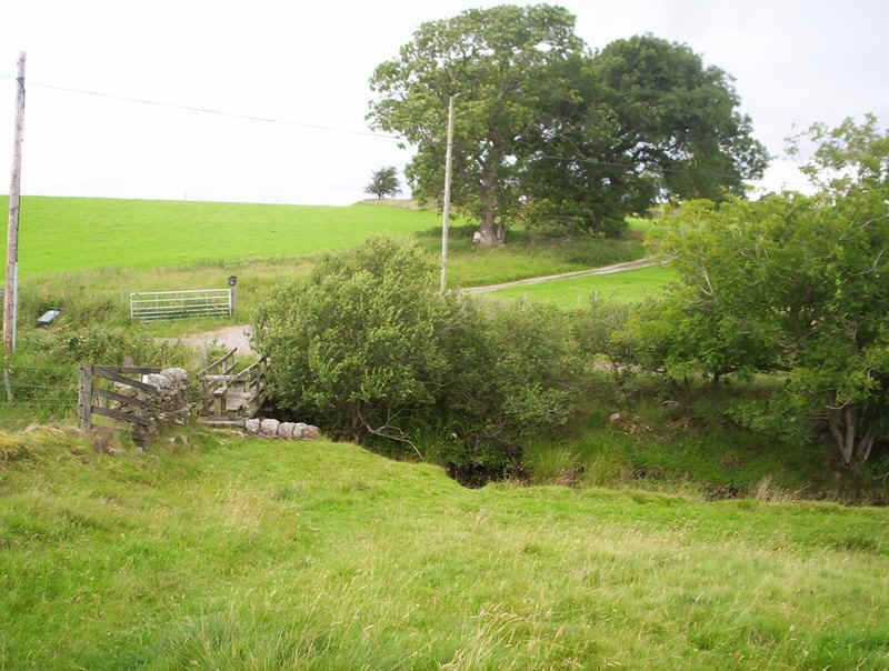
...until it drops down to the bend in the road....
....where a footbridge has been provided.
Then it's back onto the moor side.....
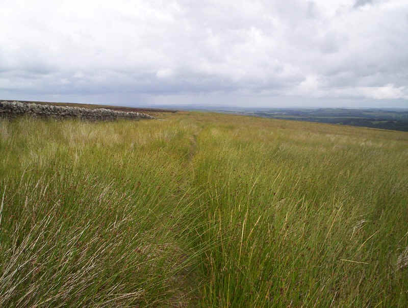
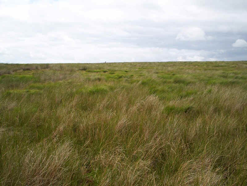
......and through this delightful waist high grass. I later found lots of seeds in my boots.
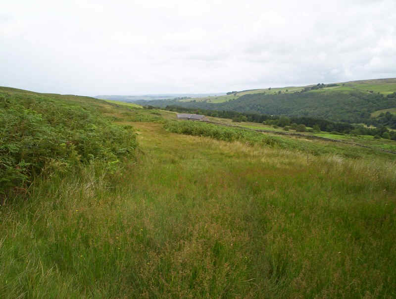
The PW now drops down across Lambley Common....
......towards the road. The PW actually cuts across the heather moorland to the left. I almost decided to continue down to the road and walk along it to save a little time but in the end stuck to the PW. In mist I'd certainly do this as....
.....the path over the more is anything but obvious....
....despite the odd marker.
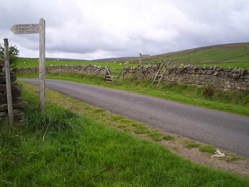
In the distance is the village of Halton Lea Gate, as the PW drops down to the main road to Brampton near Carlisle.
I ended up losing the path but found my way back easily enough to this signpost.
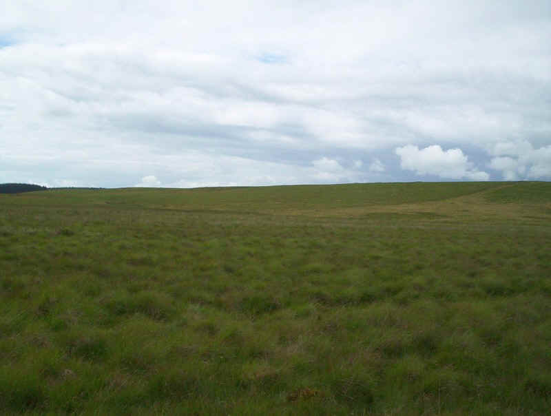
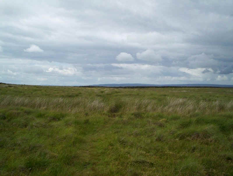
Crossing the road the PW crosses this bleak and rather featureless moor.
This is the course of the old railway to the coal mine nearby. There are plans to set up and open cast site to extract what is left. Needless to say this is not popular with the local population.
I'd expected route finding difficulties on this section but, in the end the way markings were reasonably good.
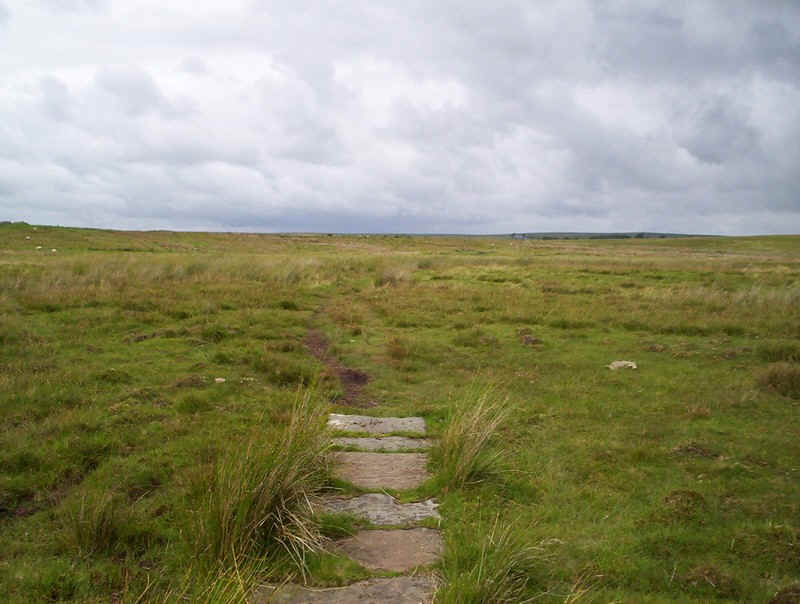
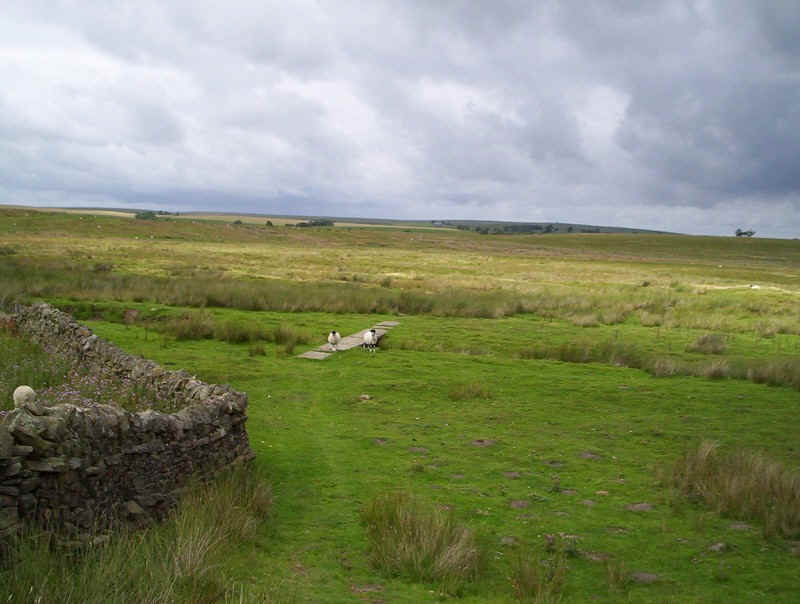
Slabbed sections.....
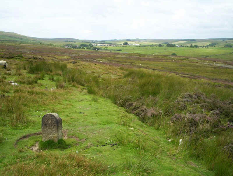
.....the odd stone marker...
....acorns, stiles......
.......and posts pointed the way across, what one guidebook describes as, "the middle of nowhere".
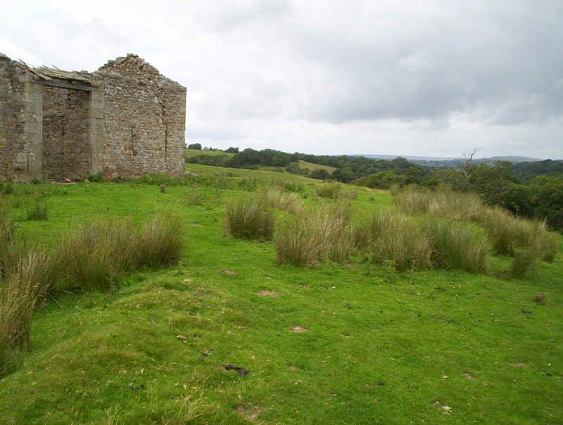
Once across this section this ruined barn is reached...
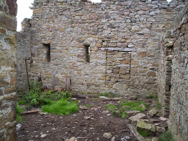
.....and looking as those wall slits it seems as though it was once fortified to repel the Border Reivers, who stole cattle in this area back in the past.
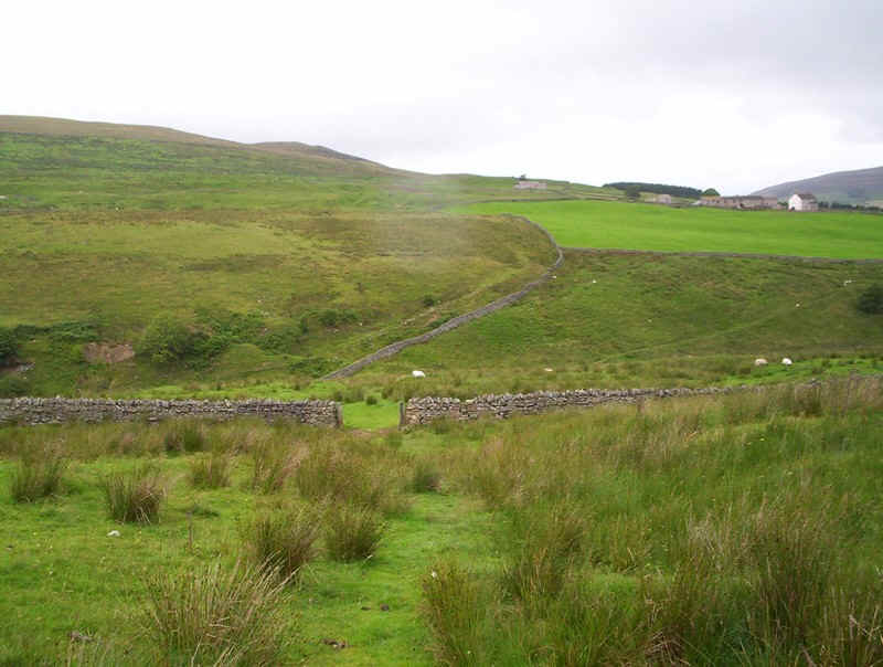
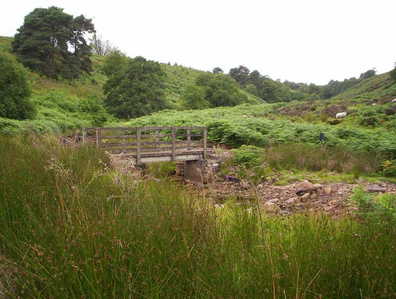
The PW now drops downhill....
......to the Hartley Burn, which is crossed at this bridge...
....and then heads along the meadow side...
.....to climb steeply uphill to this field.
There's an obvious stile across the field....
......but this helpful sign confirms the way....
......is actually up the field side.
At the gate I'm momentarily confused as to where the sign's pointing, but I head off across the trackless field....
.......towards Batey Shield Farm....
.....where an acorn confirms I'm in the right place.
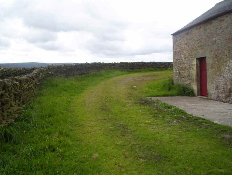
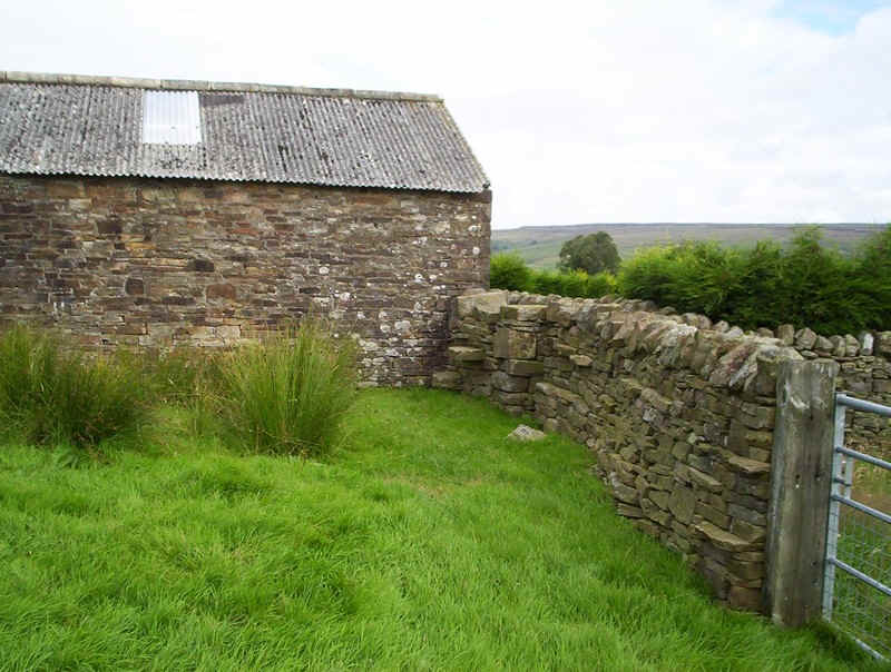
There's only one way out and that's round this corner...
.....past another barn, with slits in the wall.
The PW goes straight ahead and through the second gate at the top...
.....before heading down this field. There was a rather skittish cow in the field with some sheep but she galloped away as I passed the animals. In the meantime, a little dog had seen me and jumped over the wall barking away. I banged my poles together and the owner appeared and called it back apologising to me.
Excitement over, I headed down to this bridge and....
.....joined the track up to Grreenriggs farm where a woman enquired if I'd enough water as it's a long way to the next village. How kind.
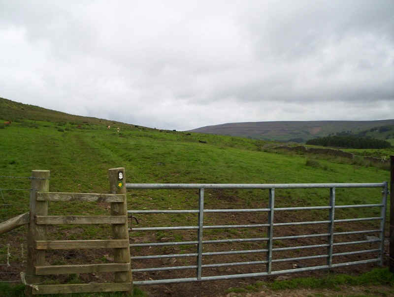
Now it's across the wall and the PW heads straight up the middle of the field...
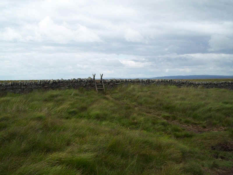
.....to this stile at the edge of the dreaded Blenkinsop Common.
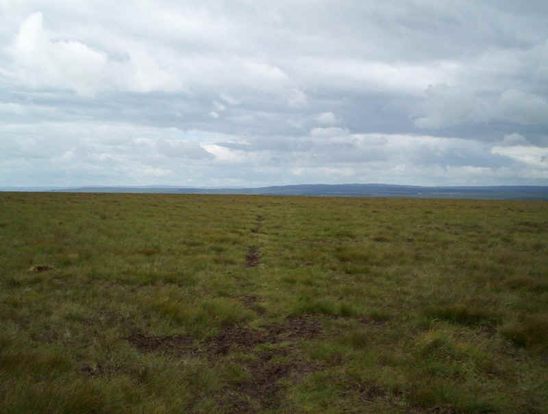
Without doubt, this next few miles are among the worst of the PW so far. Initially there is a track which heads off to the west.....
......but it soon disappeared so I decided to set the GPS to walk in the direction of Black Hill.
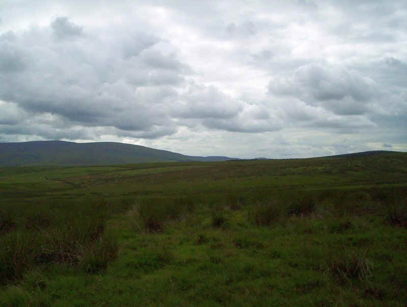
Fortunately, the moor was relatively dry and I had good visibility but in bad weather this must be an incredibly dispiriting place to be at the end of a long day.
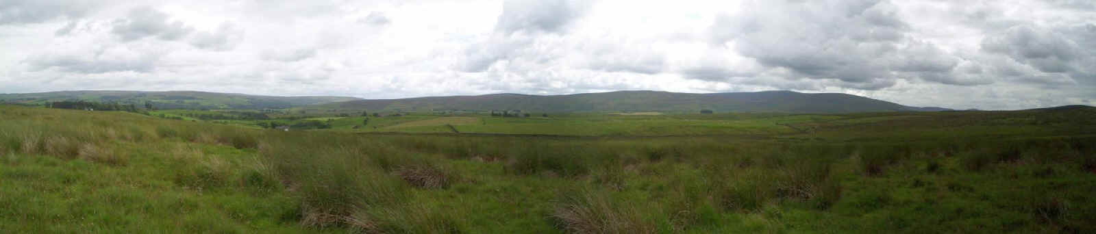
Looking back for one last time it's here that the Pennine Way walker finally says goodbye to the Pennines so a panorama is called for. Click on the picture for a larger image.
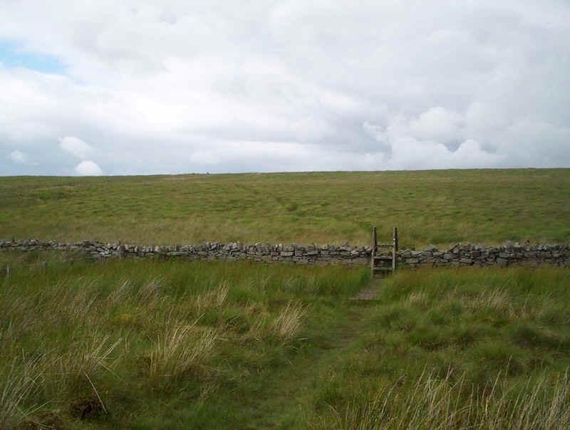
Eventually, a stone wall is reached and the route finding difficulties are over. In mist, of course it might not be possible to see the stile......
Beyond is the rise to the summit of Black Hill with its trig point. I briefly considered bagging the hill, but I was running a little later than expected and, as the path is several hundred metres from it, decided against the detour.
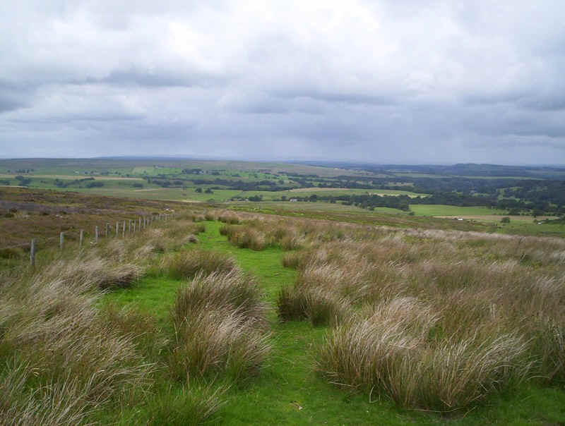
As the hill crest is reached a whole new set of vistas begins to open up; the Borders.
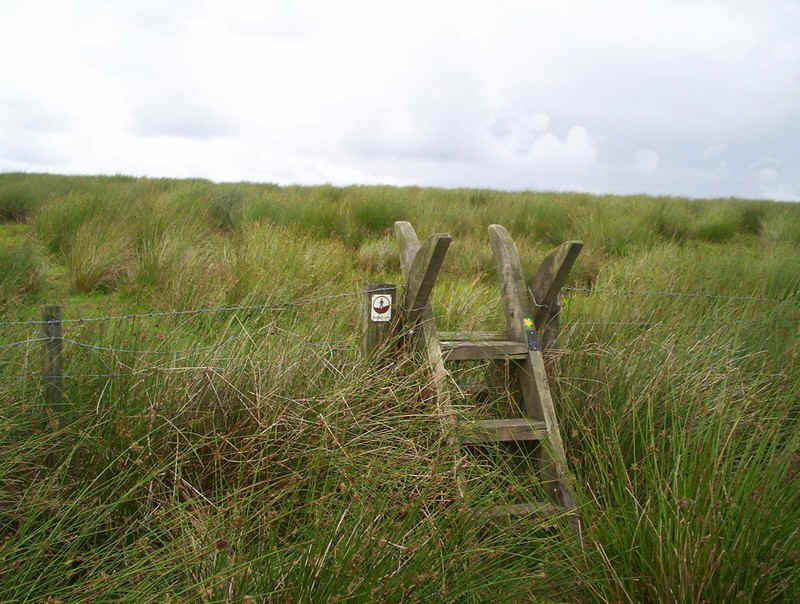
There's a stile to cross....
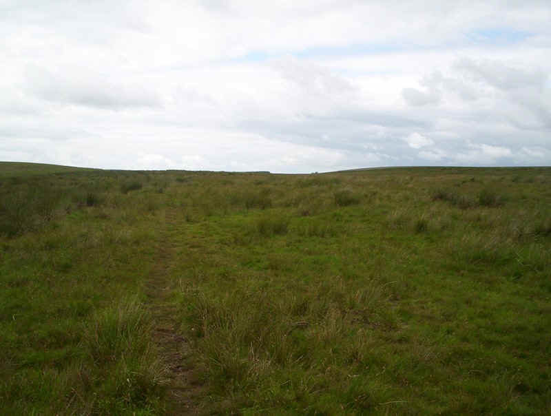
.....a clear path...

....and a fantastic view stretching all the way down to the Solway Firth on the right. Click on the photo for a larger image.
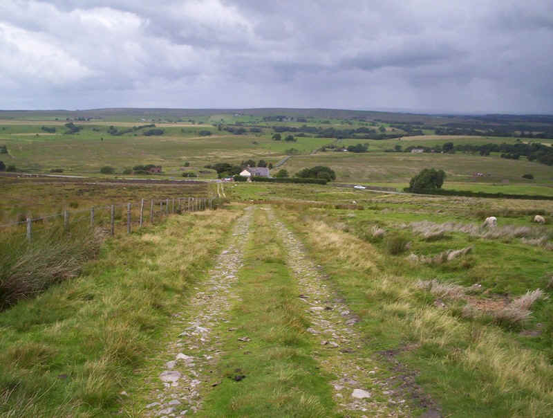
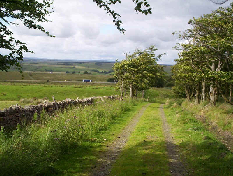
Now it's downhill to the hut...
.....and across this causeway...
.....to join an old lane to some clay pits.
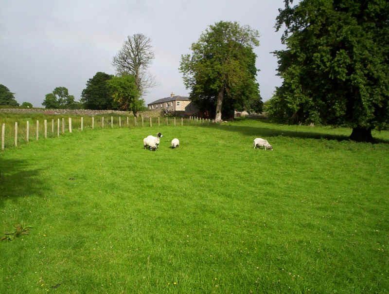
The lane starts to rise and in the distance are some more wild horses.
Near the clay pits the PW turns off down another track ....
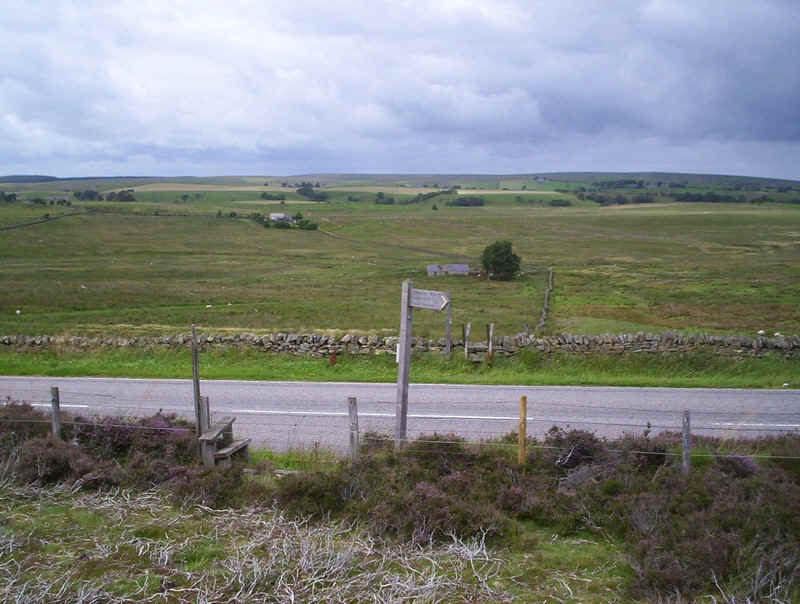
.....that leads towards the main Newcastle to Carlisle road.
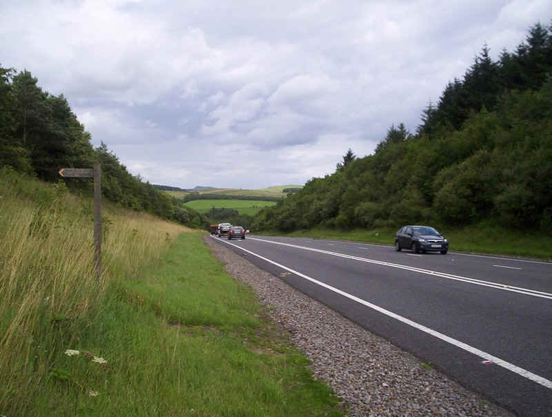
Great care is needed crossing this road; couldn't the Highway Agency have provided an island for pedestrians when they widened the road?
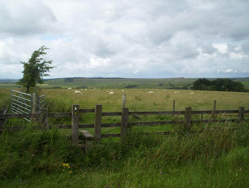
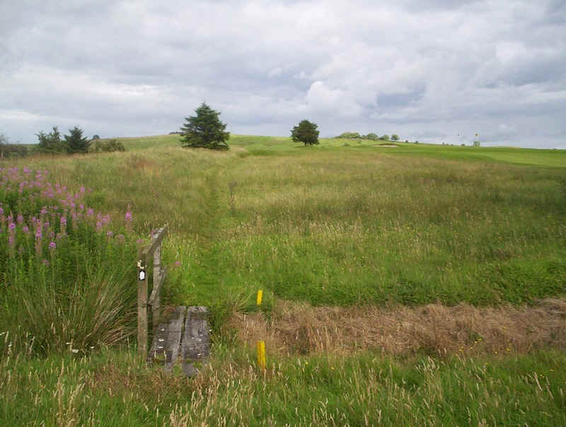
Greenhead is close, but there's still a lot of tricky navigation required before arriving there. First it,s across this field...
.....over a couple of stiles....
.....and an infuriating walk all around the golf course.
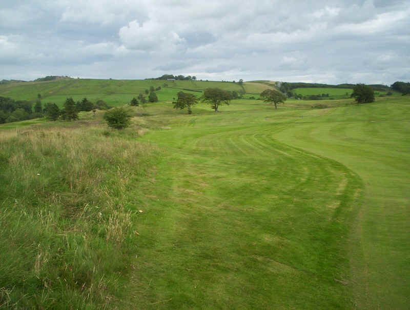
Keep to the edge of the green, which follows some Roman fortification earthworks...
.....until this bridge is seen. The path continues...
....to the edge of a steep drop and then goes down to these houses and the old main road. A few minutes walk along the road to the right, and the village of Greenhead is reached. The section from Alston had taken slightly longer than I expected, at eight and a half hours, because of the route finding difficulties.
The next stage of the Pennine Way on to Housesteads and Bellingham, along Hadrian's Wall, runs behind the houses to cross the railway.
After meeting Fran in Greenhead it was time for a meal and the drive back home.