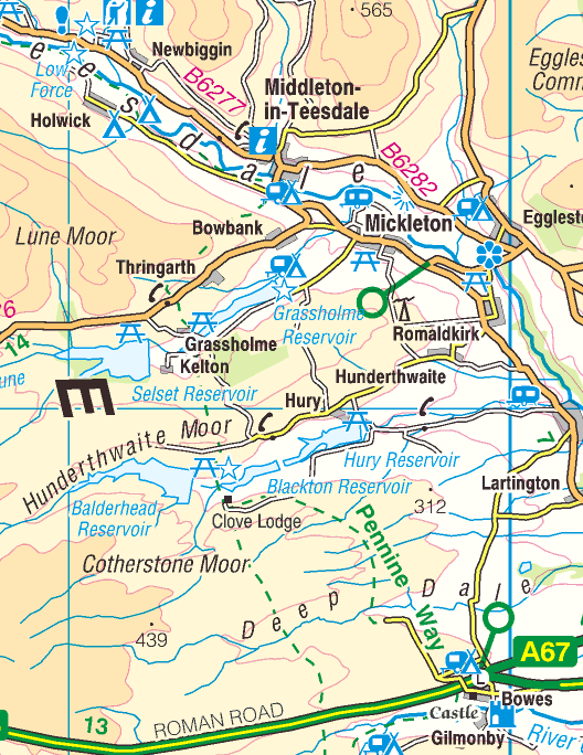
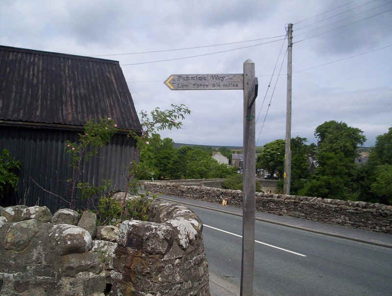
Bowes to Middleton-in-Teesdale
Click here for link to a GPS map of this section of the Pennine Way on Google maps
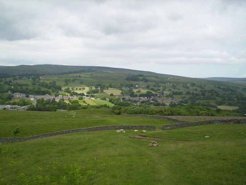
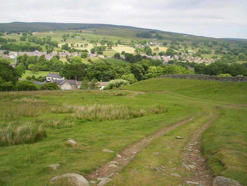
Day 11 saw me walking the section from Bowes to Middleton-in-Teesdale. I set off soon after 8.30 after a night at the Ancient Unicorn (highly recommended) with the aim of reaching Middleton in time for a bus back to Barnard Castle and Darlington in the early afternoon.
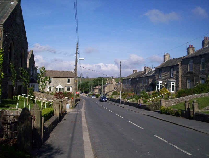
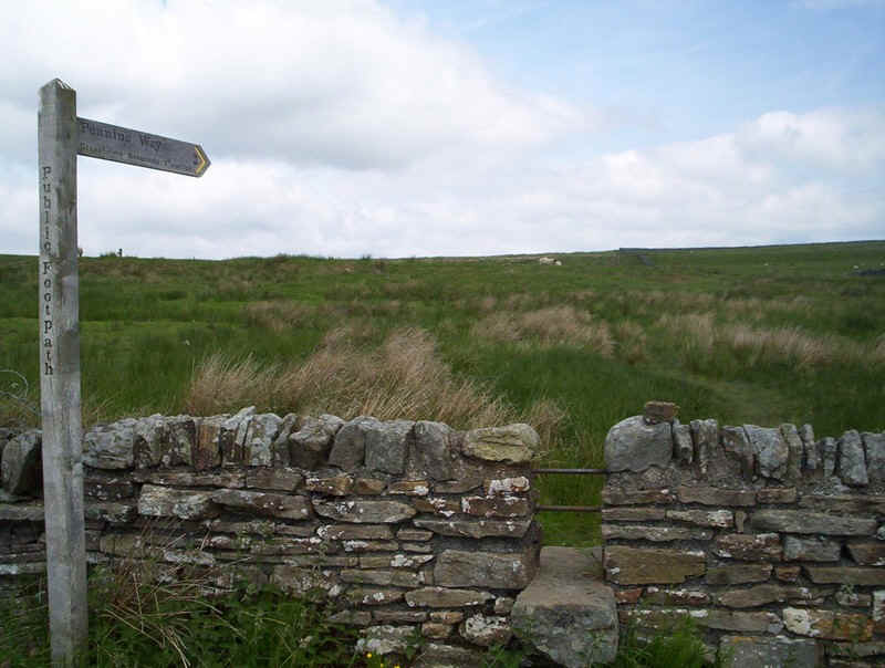
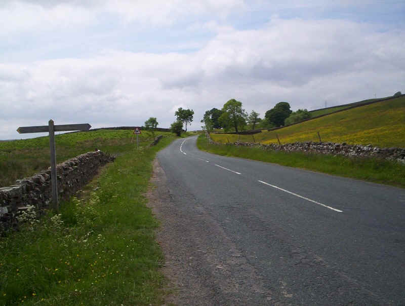
Once this was the A66 but now, thankfully, all the heavy traffic uses the bypass to the north of the village. The Bowes loop section of the PW starts by walking west......
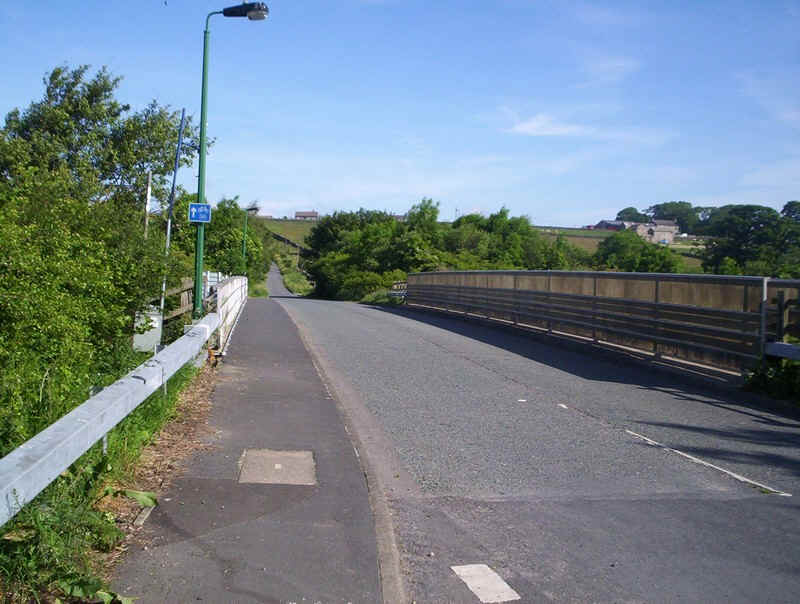
.....before crossing the A66 on this bridge....
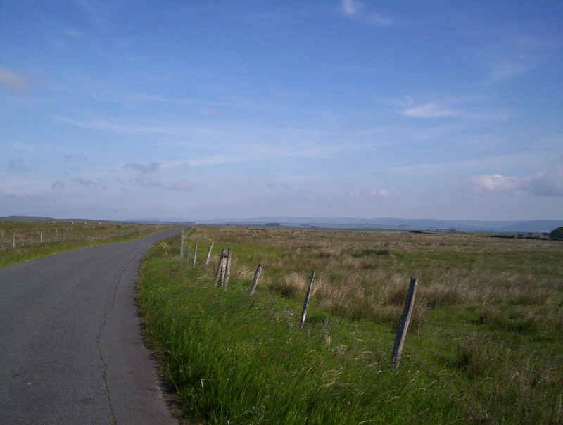
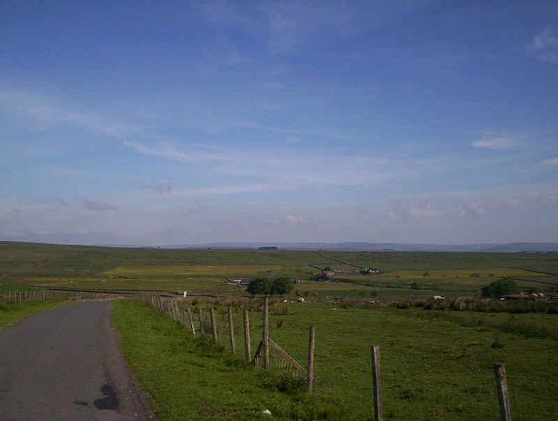
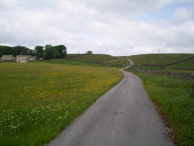
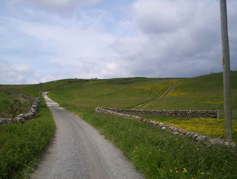
....and heading gently uphill on this quiet lane to reach the moorland.
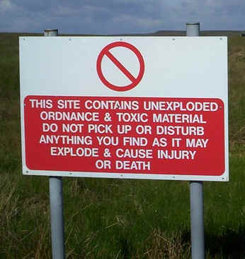
This section of the walk is across land formerly used by the army for training and frequent signs by the roadside warn of the dangers lurking in the grass.
soon the lane begins to drop into Deep Dale.....
.....but the PW "cuts the corner" through fields.
It would probably have been quicker and easier to have followed the lane but a series of stiles leads eventually....
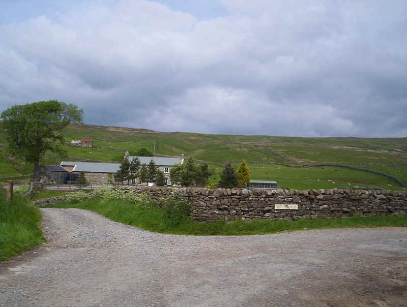
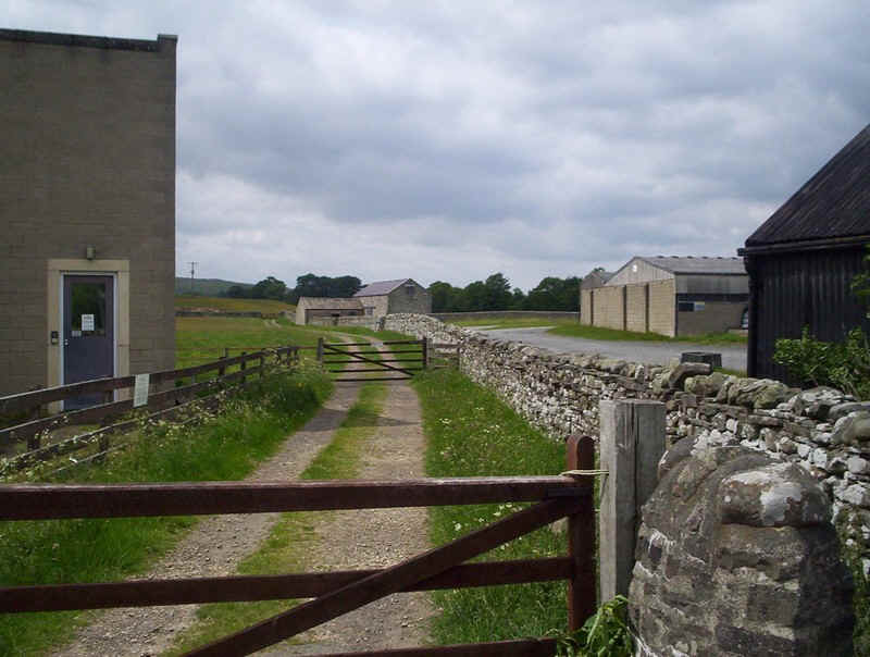
.....to this rather overgrown gate by West Stoney Keld farm.
The farm track rejoins the lane from Bowes....
......which drops down into Deep Dale...
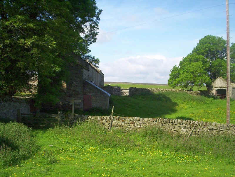
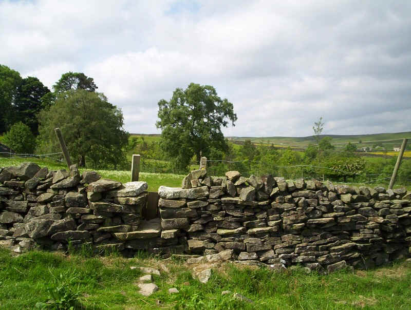
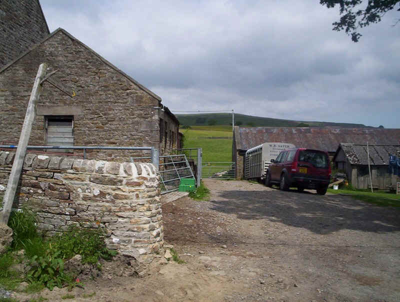
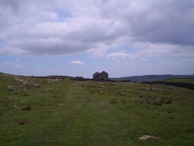
.....passing the incredible sight of this thatched house at Levy Pool.
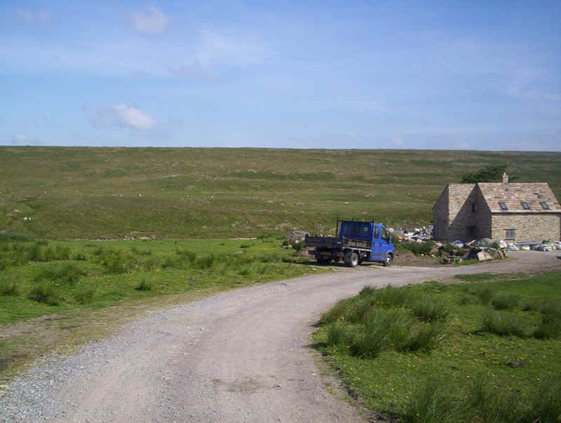
Building work had obviously disturbed the PW signpost which was on the ground but the way....
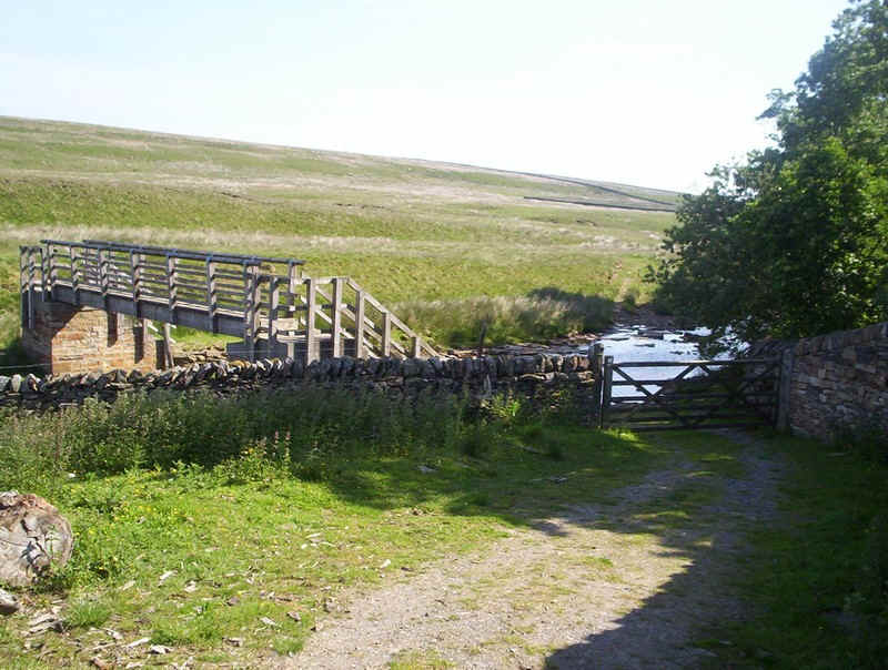
.....drops down to Deepdale Beck by the side of the first of the buildings.
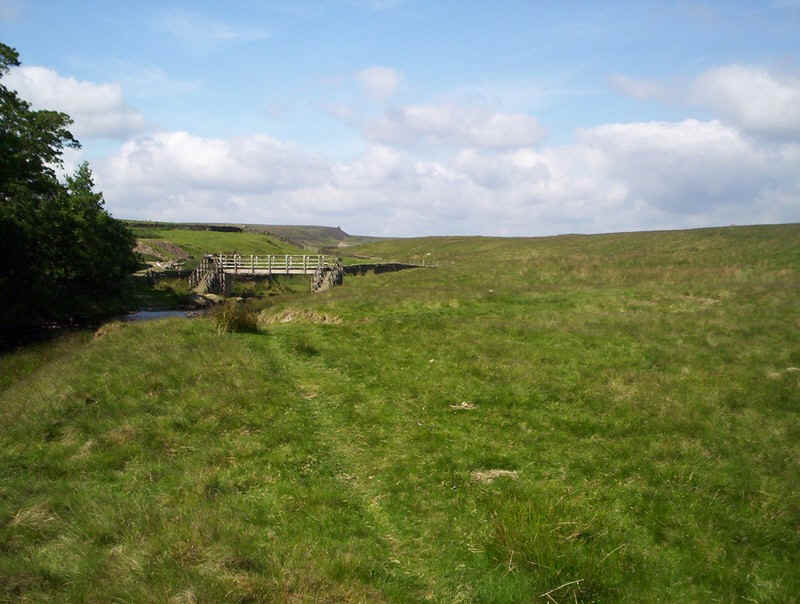
Looking back towards the bridge with the riverside path which...
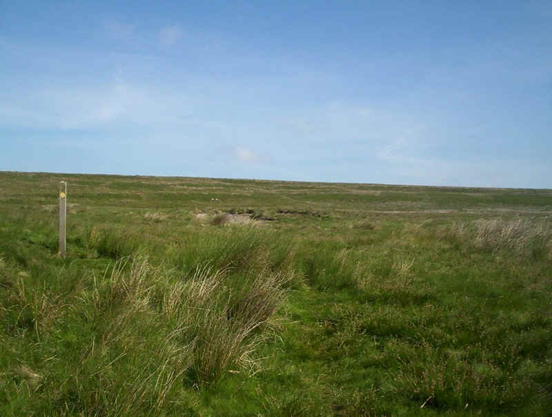
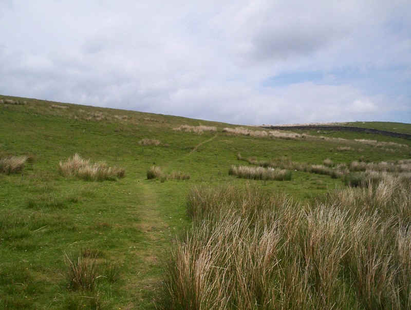
....then turns to start the climb out of the dale. There are odd posts which give an idea of the route but it's often very indistinct...
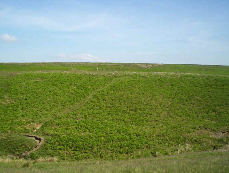
.....and crossing the bracken it disappeared altogether.
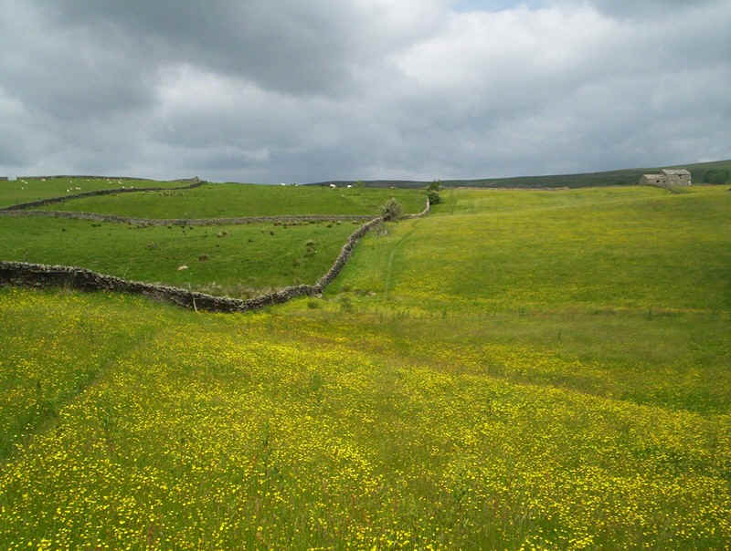
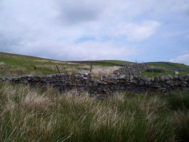
However, a stone wall is clearly visible higher up and the PW now follows this.....
.....for some distance as its drops towards the wood at west Loup's.
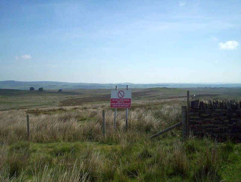
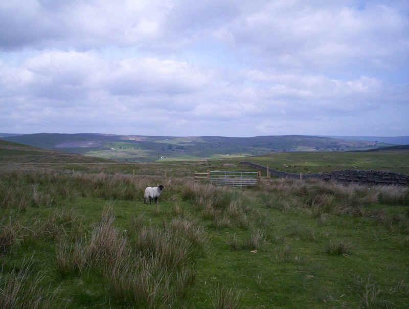
This is yet another of the army's training areas with more warning signs.
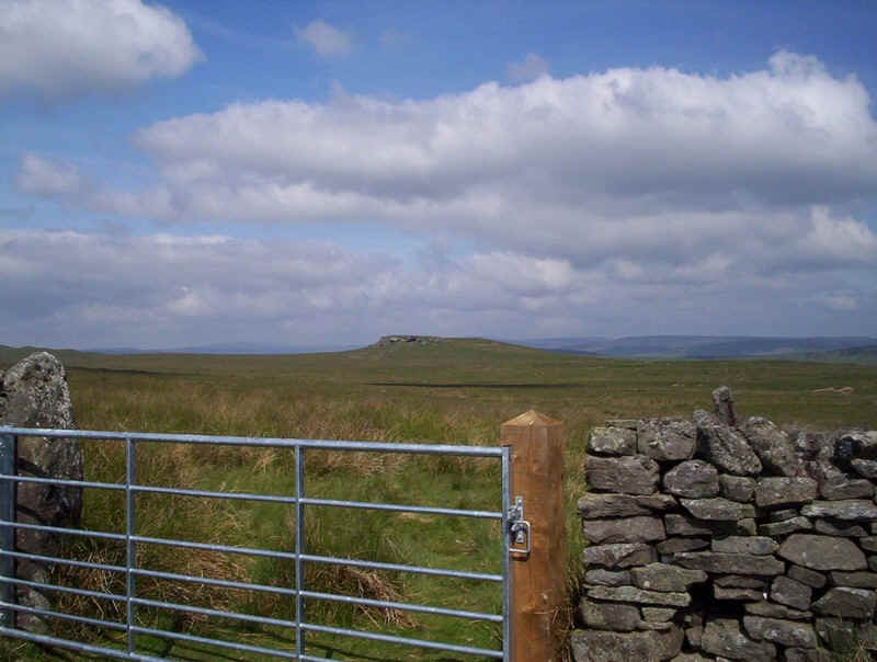
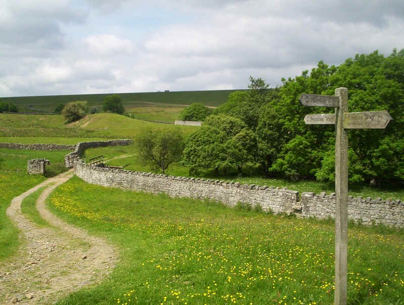
At West Loup's the PW turns north-west and heads straight for the distinctive outcrop of Goldsborough. Way-marking is largely non-existent but....
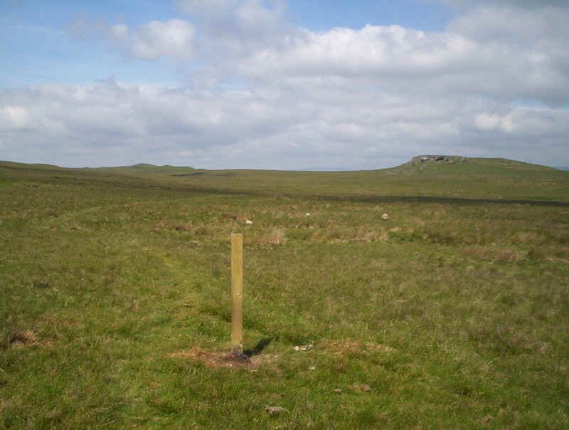
.....there is a faint path and a marker at a path junction.
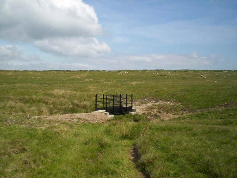
The path drops down to the stream at Yawd Sike where there is a new bridge....
.....although quite why it's there because this bridge is less than 100m away.
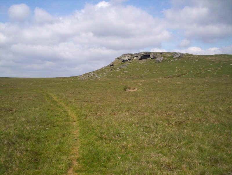
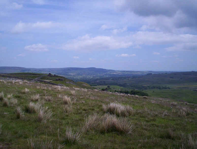
The crags on Goldsborough dominate the path here and are used by outdoor centres for climbing practice.
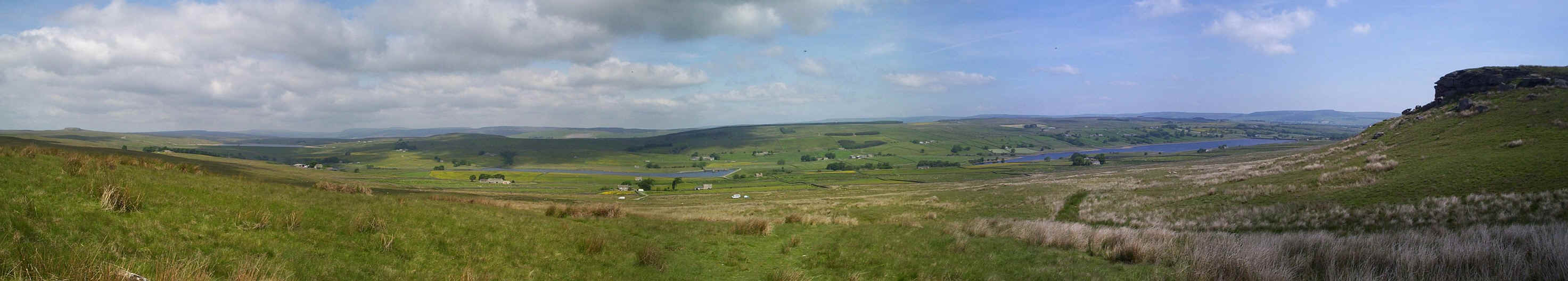
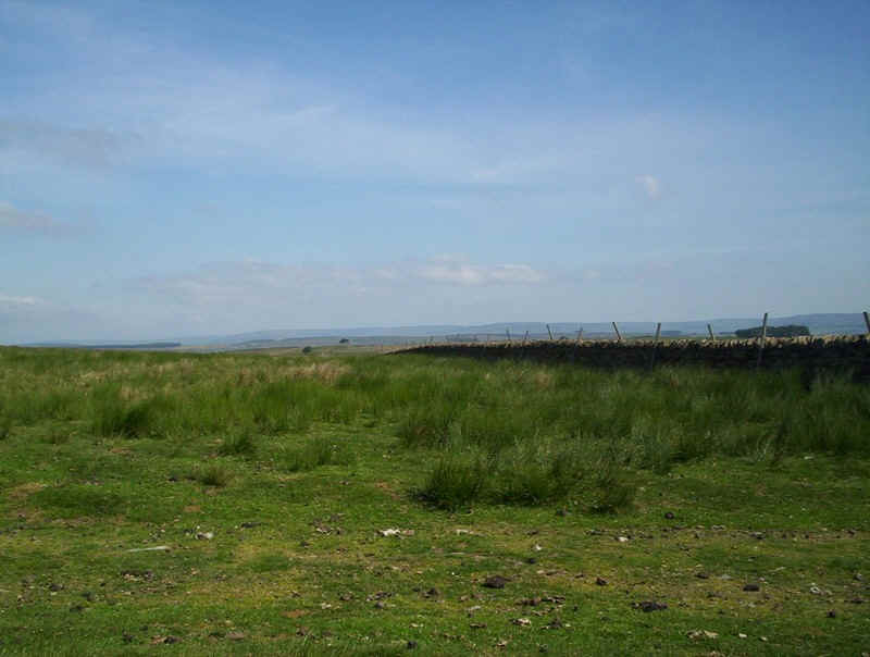
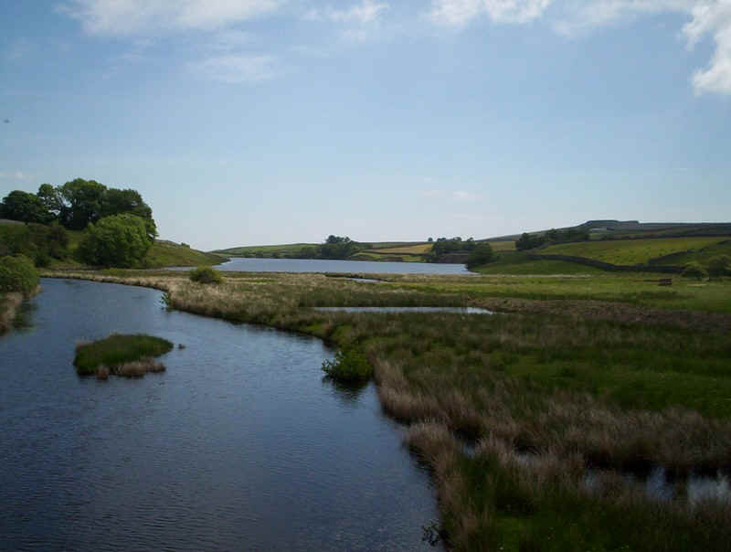
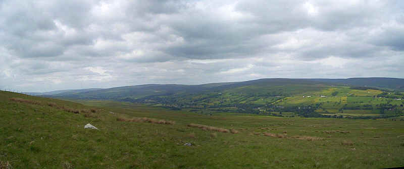
The view from near Goldsborough is extensive as this panorama shows. In view are the dams and lakes of the various Blackton reservoirs.
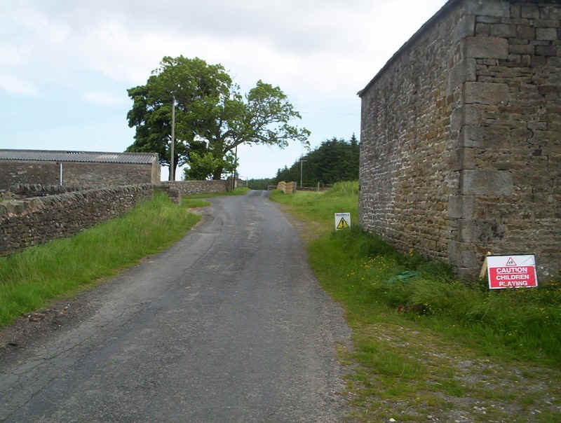
The PW briefly joins a paved lane before......

.....heading down to Friar's House farm....
......with its path gate under the tree...
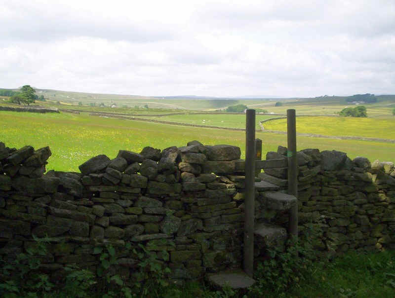
.....and the first of many stiles.
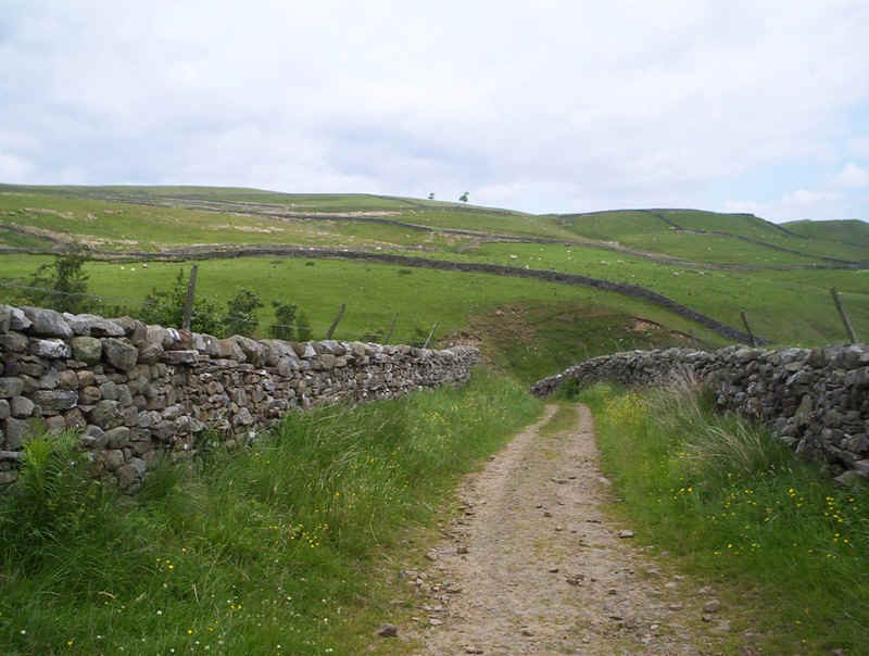
The PW now heads across a string of walled fields all with stiles...
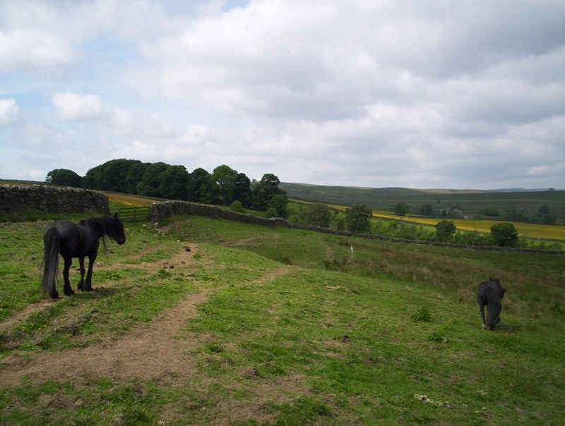
......until it reaches this field which is clearly used for grazing horses.
Be warned this is not the path but one trodden by the animals. I ended up wasting time trying to find the stile...
......which is right at the top of the field....
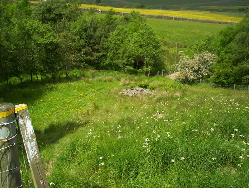
.....and leads down to a bridge over a stream.
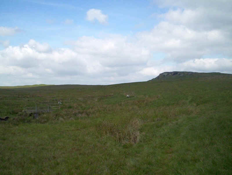
Once away from the stream there are several more stiles and fields to negotiate before....
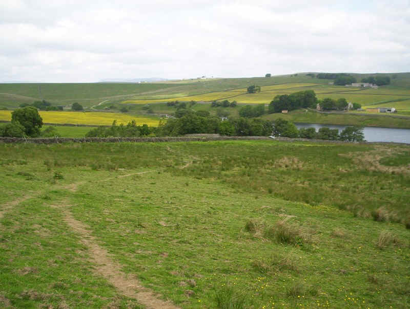
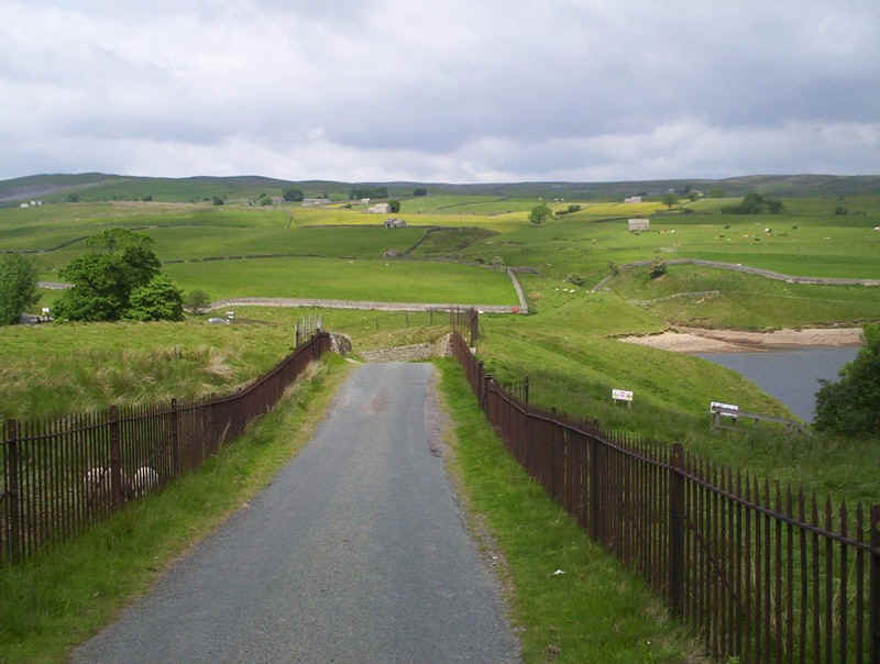
.....the dam to the top reservoir and the bridge over its outflow channel come into view.
Here the Bowes Loop rejoins the main PW path as it heads around the western end.....
.....of Blackton Reservoir.
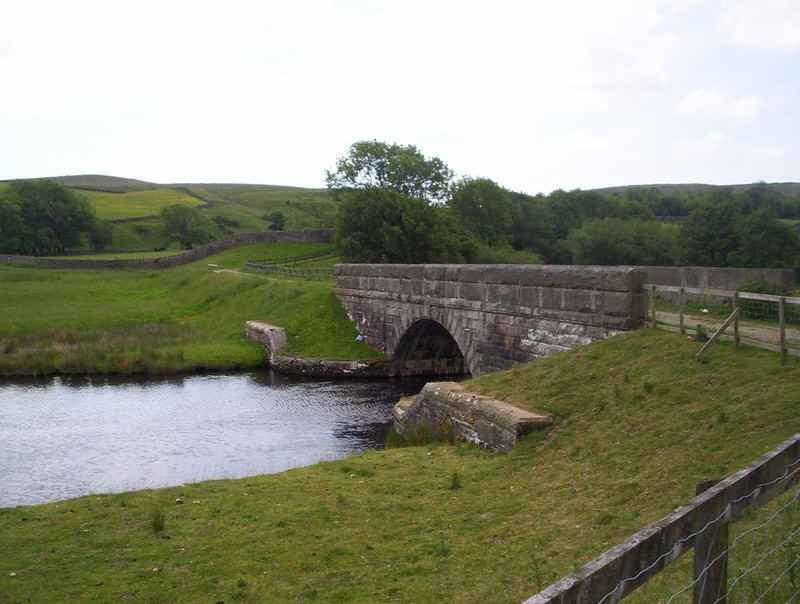
The waterworks track crosses the bridge and........
......heads to Low Birk Hat....
.....before starting another climb....
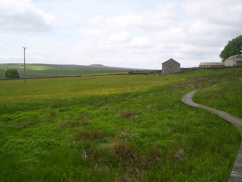
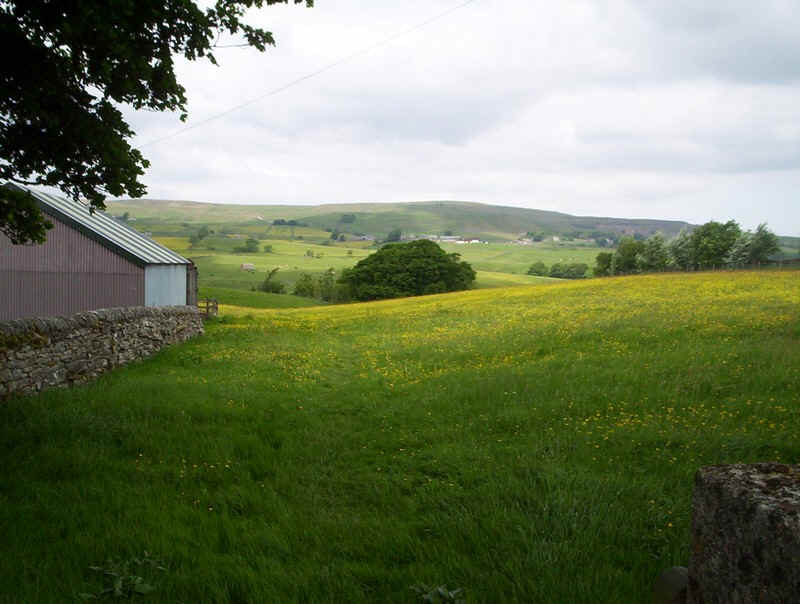
.....passing the nature reserve of Hannah's Meadow.
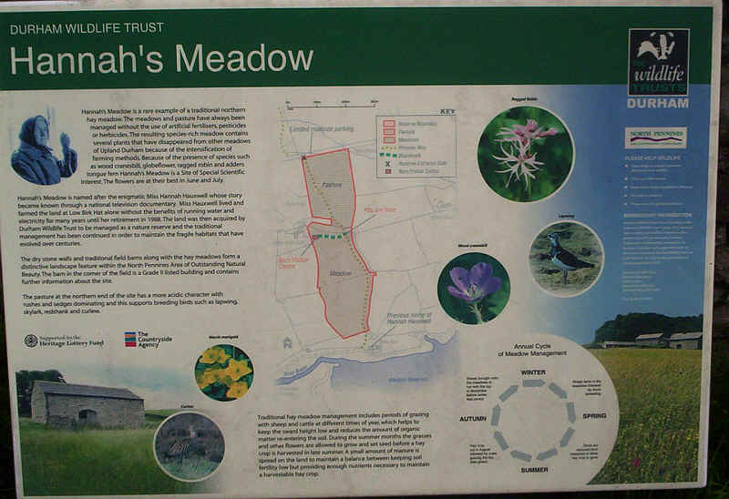
The information board explains how this area has fields which have never been treated with modern fertilisers or pesticides and thus contain a rich variety of flora not generally found. Perhaps the most striking feature of the last two days has been the incredible display of wild flowers in meadows.
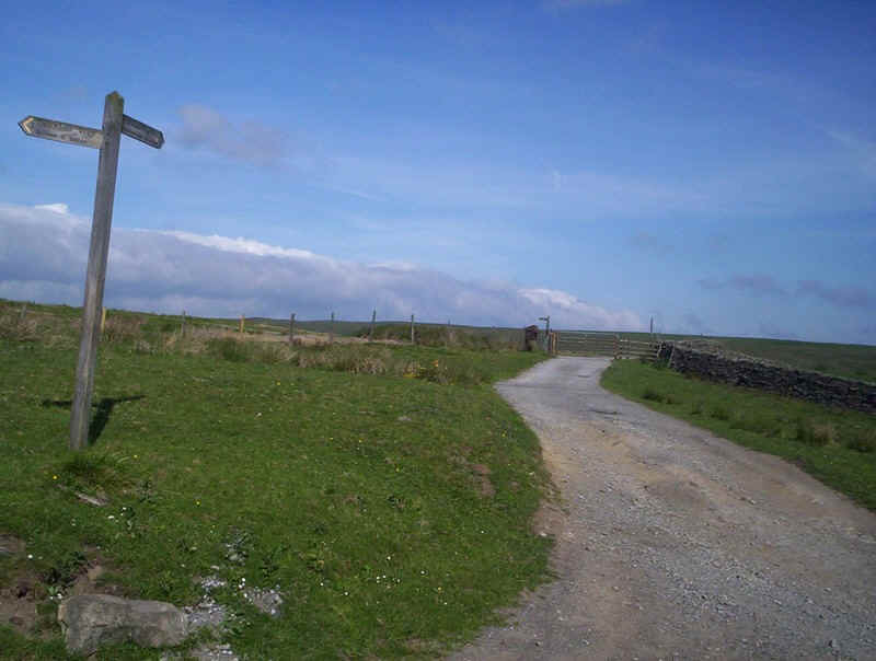
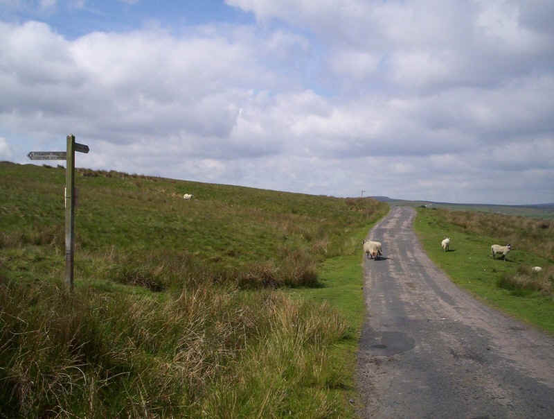
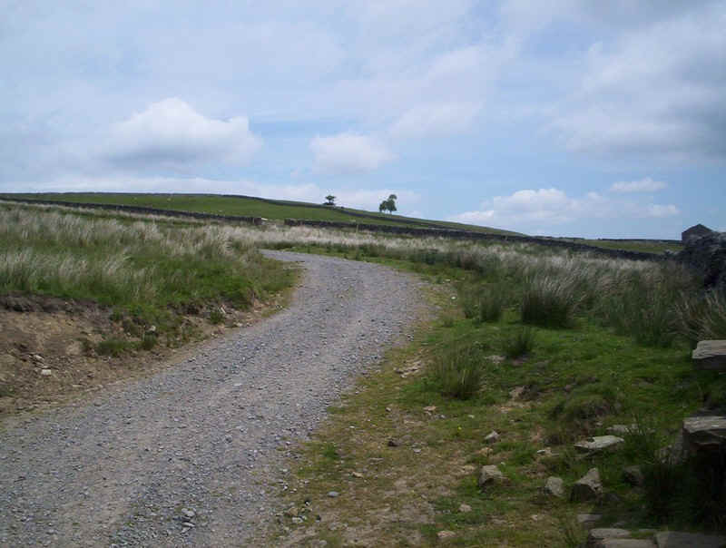
The PW emerges on to a paved lane but.....
....immediately takes to the moor again as .....
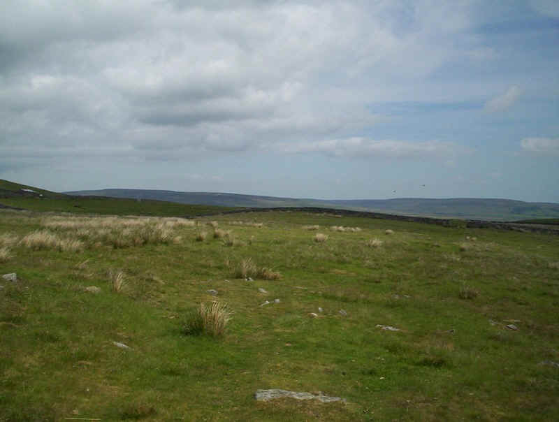
........it crosses over Hunderthawite Moor...
......and begins to descend into Lune Dale.
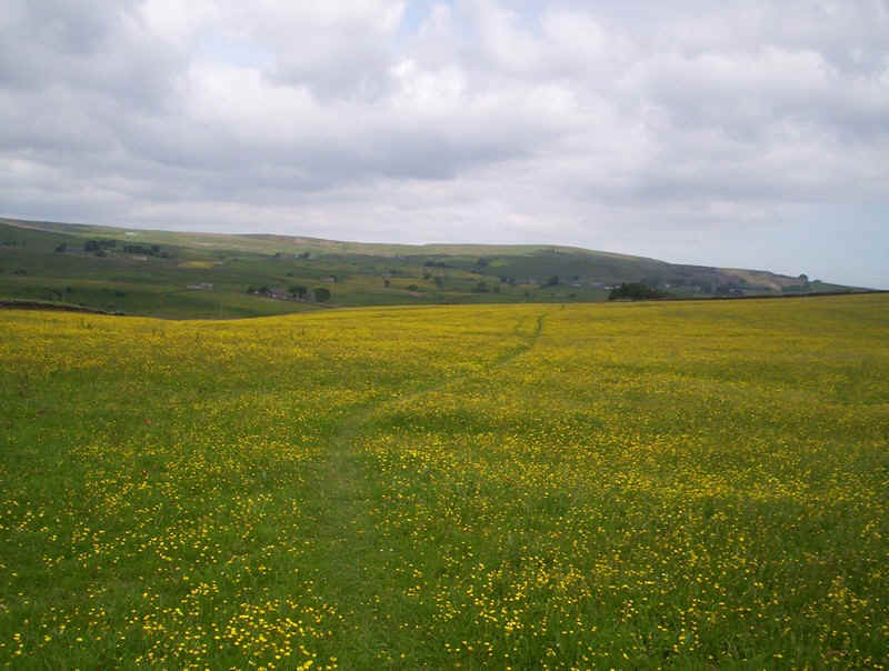
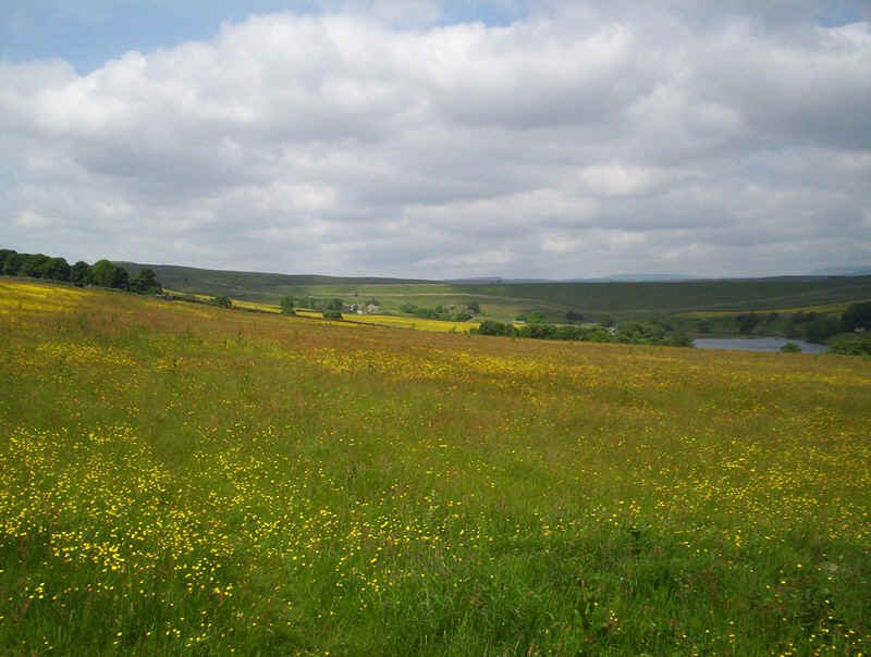
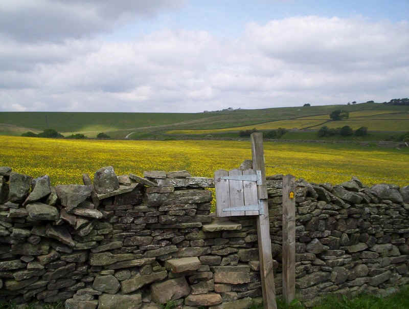
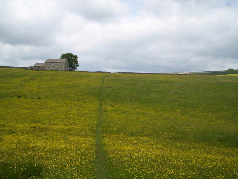
There is no doubt where the path is through this sea of yellow flowers.....
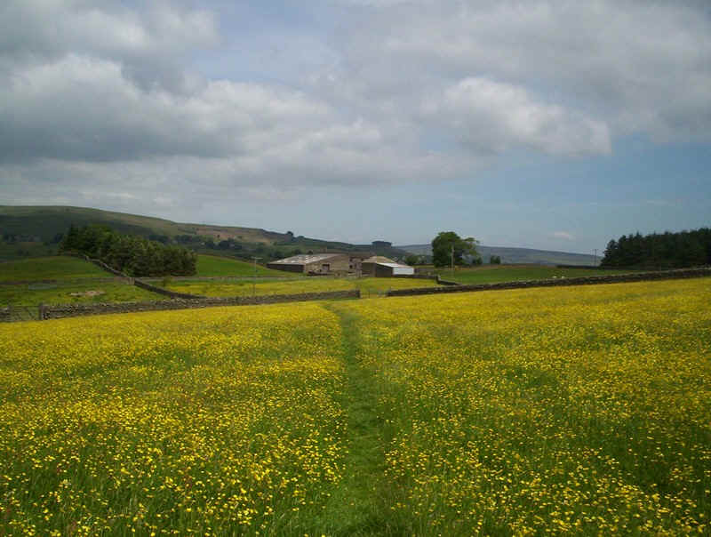
.....as the PW heads for How.
Another very short section on a lane....
.....and it's back into fields....
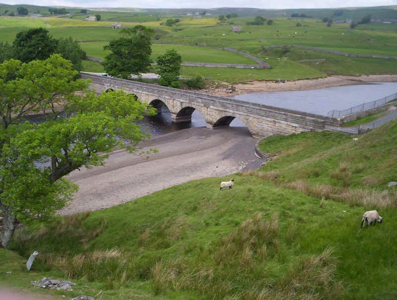
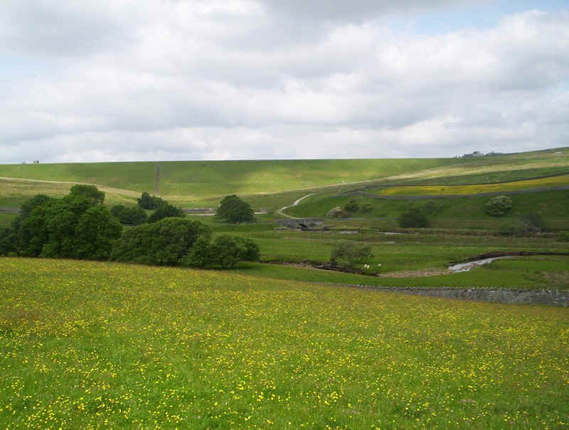
.....as the track heads downhill to the bridge over Grassholme Reservoir.
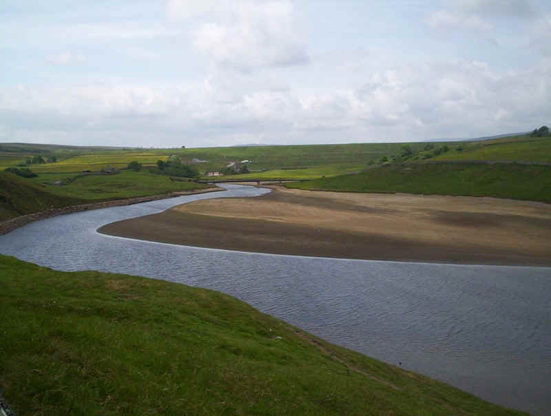
In the distance is the grassy bank of the dam of Selset Reservoir, but the lack of water in Grassholme Reservoir is really obvious.
There is a steep and narrow section down to the bridge.....
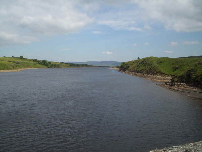
.......with a view of the reservoir from the bridge...
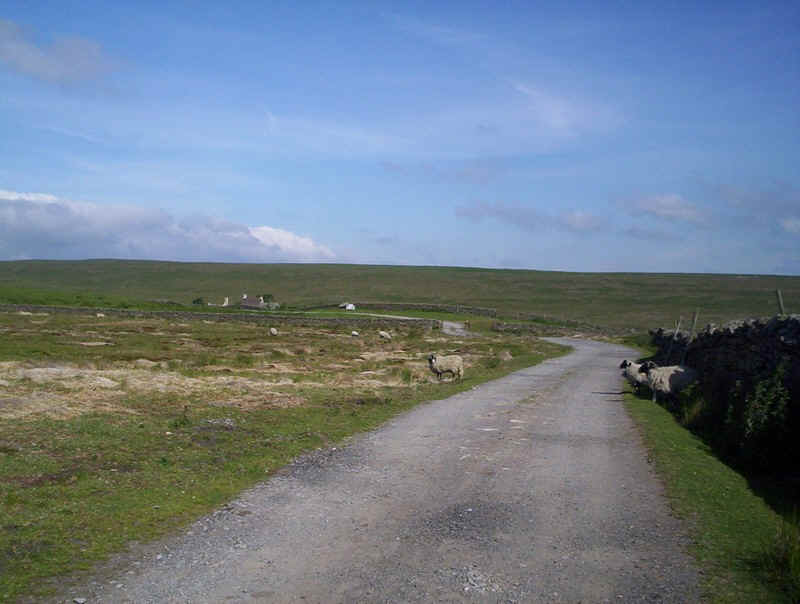
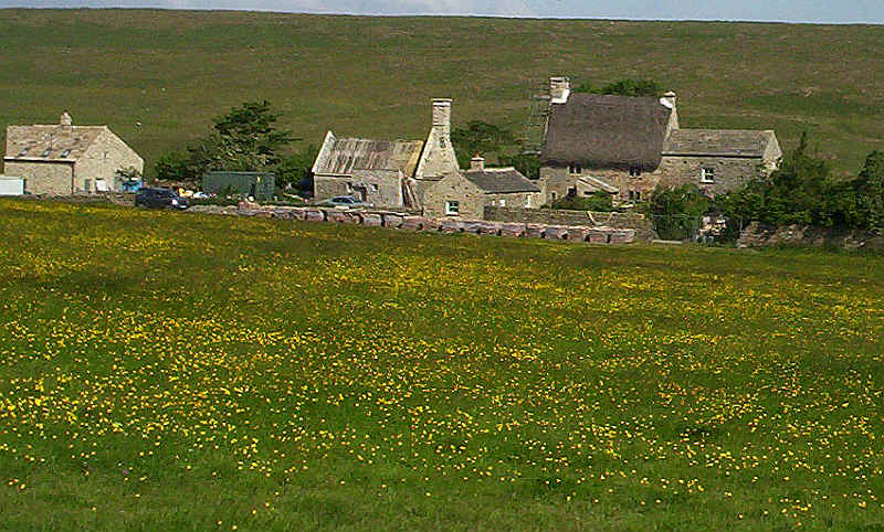
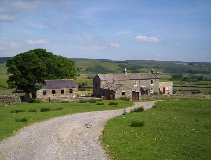
......and then a climb up to Grassholme Farm....
......and across the farmyard to reach....
.......another very clear path uphill....
.....and up and down and up......
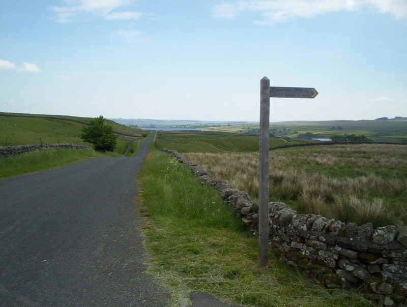
The PW is now heading for the Brough to Middleton-in-Teesdale road.....
.....which is crossed opposite....
.....the farm track leading up to......
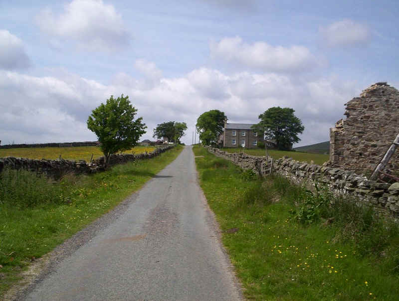
.......Wythes Hill farm where a rather attractive sign on the wall directs walkers in the right direction.
The PW drops down to a stream...
.....and then disappears. The map tells me there must be a stile in the far top corner and sure enough here it is.
Now it's gently uphill.....
......to reach this land-rover track....
.......and onto the......
.....green lane that runs past barns high above Grassholme Reservoir.
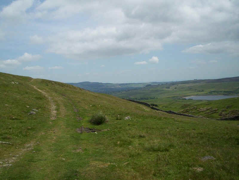
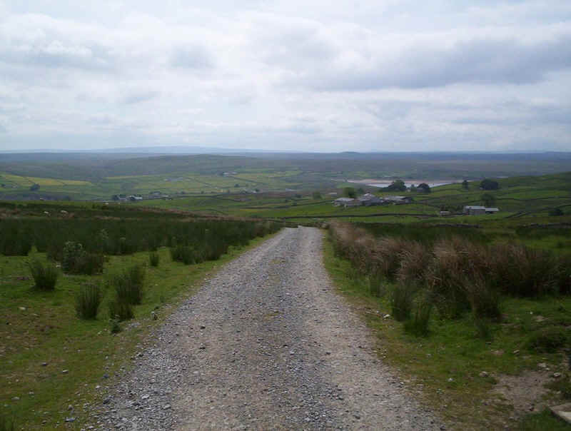
In the distance is the first view of Teesdale with the reservoir below.
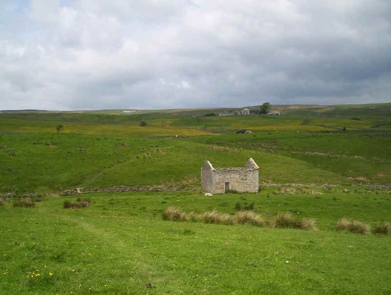
There is evidence of lead mining on the hillside with several derelict buildings.
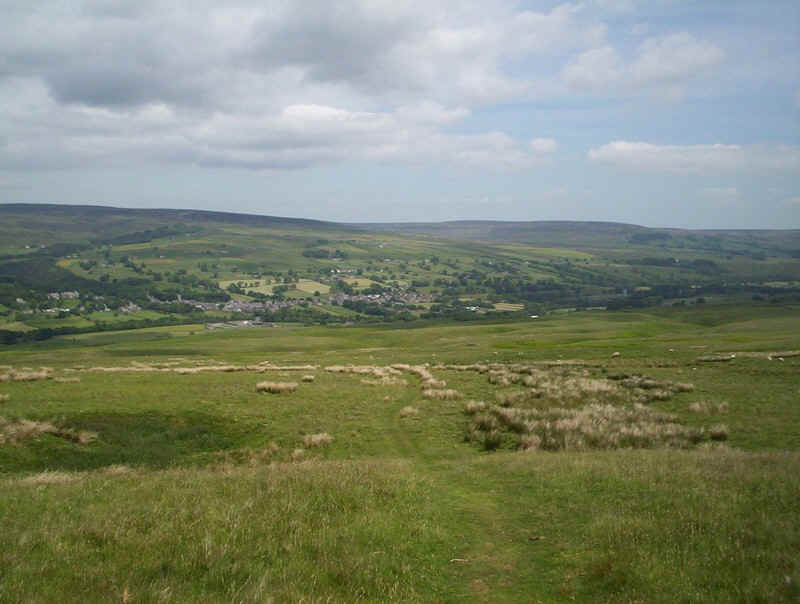
The PW continues faintly across the hillside to a gate...
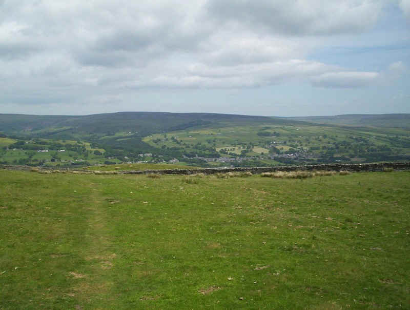
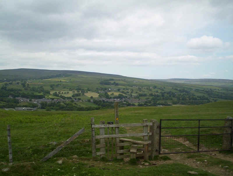
....and once through begins to drop down to give the first sighting of Middleton-in-Teesdale.
It's an easy descent across grass but once again signposting, even at path junctions is non-existent.
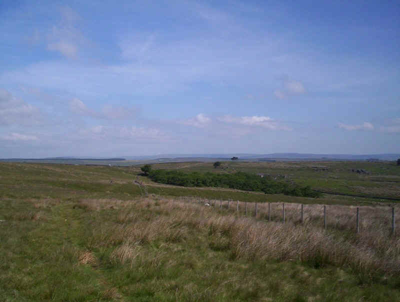
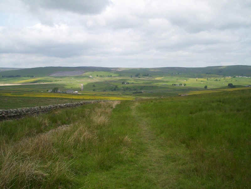
This view up Teesdale shows the route for the next stage of the PW.
The PW crosses a stile with a way mark but no indication that you're on the Pennine Way.
The final drop into Middleton is through a series of fields but the path is clear enough....
......and soon the end of this stage is in sight.
At last a Pennine Way sign but there's no indication that you need to walk.....
......along the main road to reach....
......the continuation up Teesdale and on to Dufton....
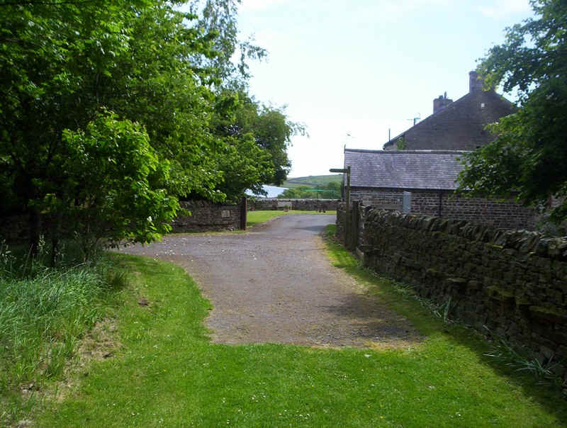
.....until you reach the edge of the village.
I really enjoyed this section of the walk even though walking through farmland isn't my favourite type of walking. Can't wait until I get the chance to get back into some real wild country though!