Byrness to Kirk Yetholm
The way points on this map are taken from my GPS Spot tracker.
The map can be resized to give greater detail by clicking on the controls in the top left hand corner. It can also be moved by clicking on the map and using the hand tool.
The final stage of the Pennine Way is notorious for its length and difficulty, particularly in bad weather. Unless you are super fit and fast walker it's likely to take between 10 and 13 hours for the 27 miles. If you decide to add on the extension to the summit of The Cheviot another two and a half miles and just over an hour will be added to the day. Leaving Byrness early is essential; the youth hostel warden suggests that people leave by about six o'clock, although I deferred this until seven. Clearly this is not a walk to try and do in one day, except during the longer day light hours of summer.
Many people break the section into two days but I wanted to do it in one hit, and add on The Cheviot.
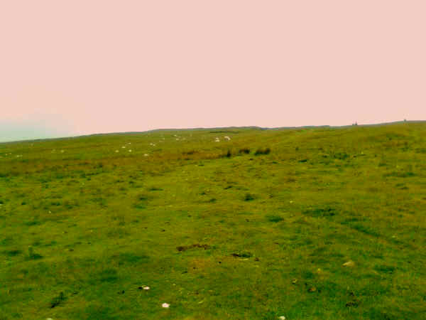
Unfortunately my camera decided to malfunction when I turned it on at Byrness so the photographs were all taken on my mobile phone and are, inevitably, of poorer quality than on the rest of this website. It has also to be said that much of this section of the PW is not the most visually stimulating, being largely over peaty moorland.
You will become very familiar with boggy terrain and enormous distances of slabbed paving and incredibly long sections boardwalks. However, without them I doubt whether most walkers would be able to complete this stage in a day.
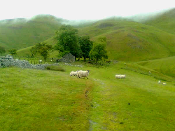
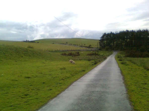
Leaving Byrness village and walking south along the main A68 for a short distance the PW is joined in this side road to the north of the main road....
.....where a signposts directs you through the hedge....
......and once across a field into woods.
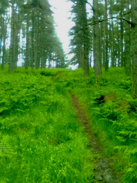
There now starts a climb of several hundred feet quite steeply through the woods....
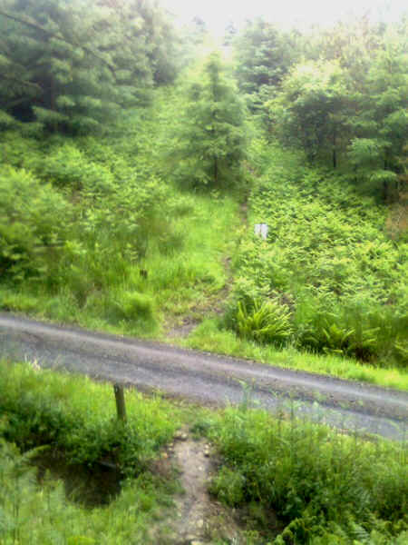
......across two forest roads.....
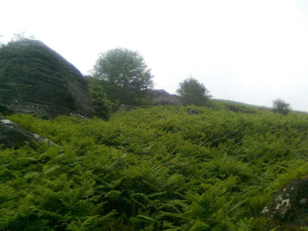
...to eventually reach the open moorland at this rocky outcrop, where a a little gentle scrambling is needed....
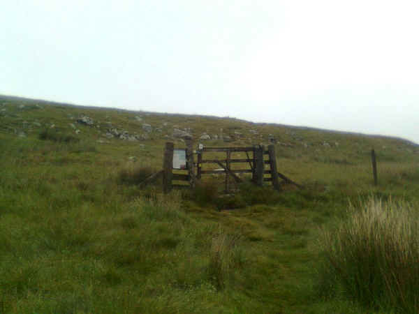
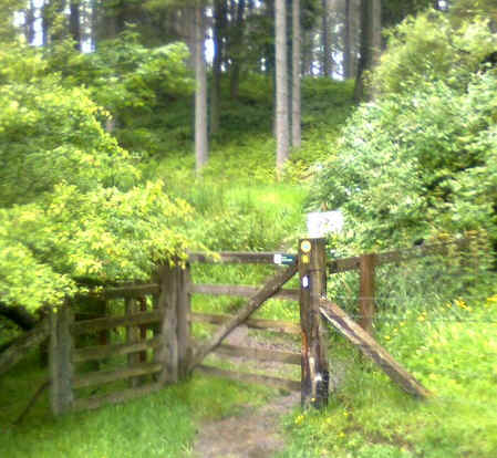
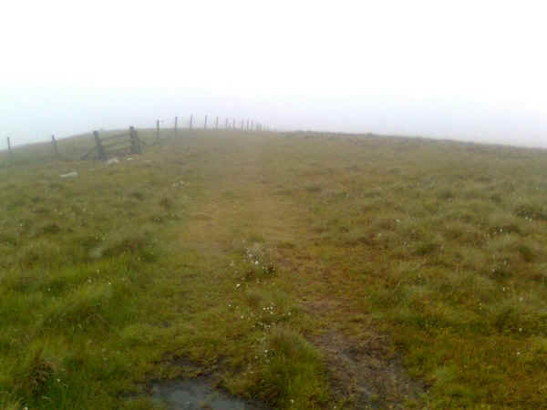
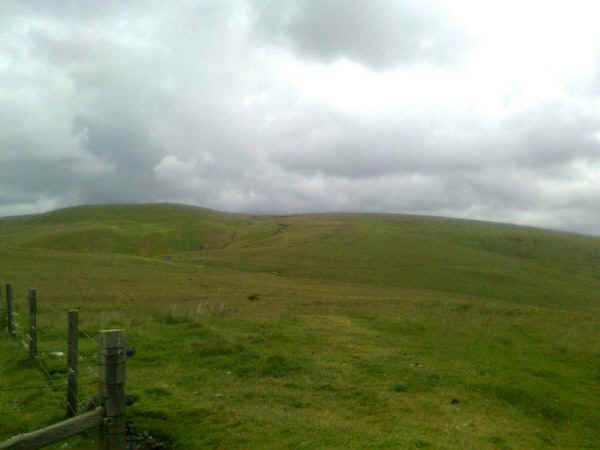
....to reach this gate at Byrness Hill.
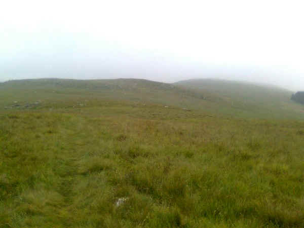
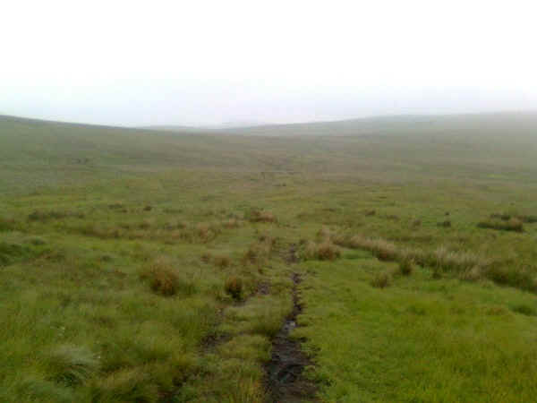
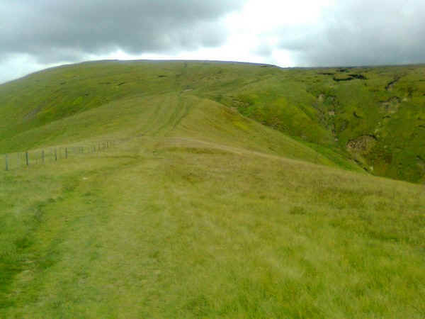
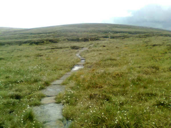
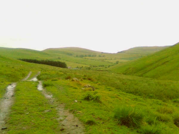
Then the walk across the moorland begins. Initially, I was a little unlucky with visibility but the path is reasonably clear...
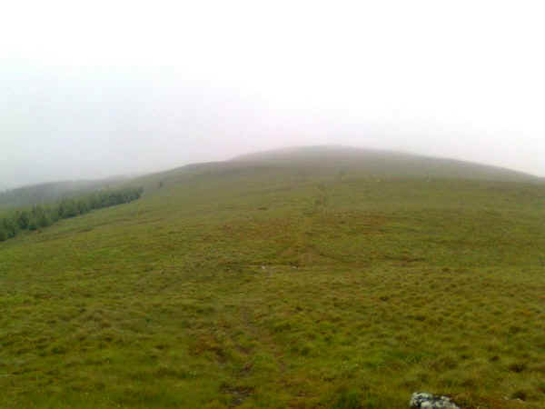
...as it climbs up the ridge past....
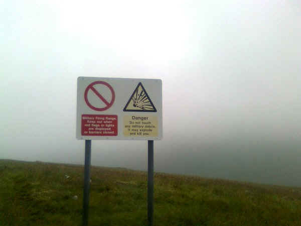
....the first of many Ministry of Defence warning signs for the military training grounds to the east. Don't pick up anything that looks like a bomb you are warned.
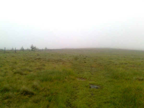
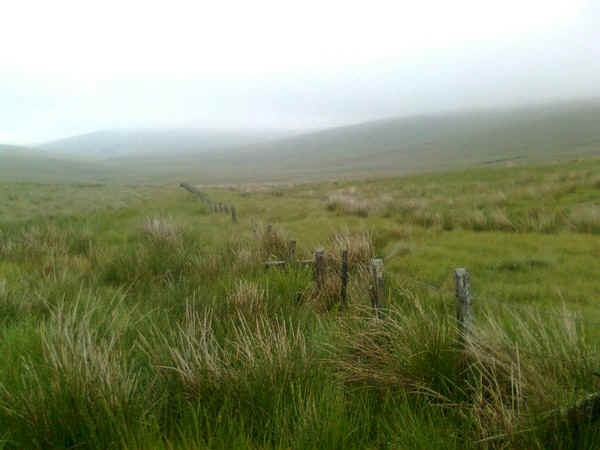
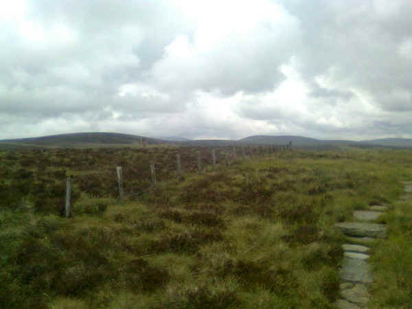
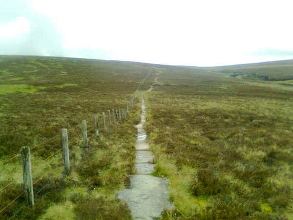
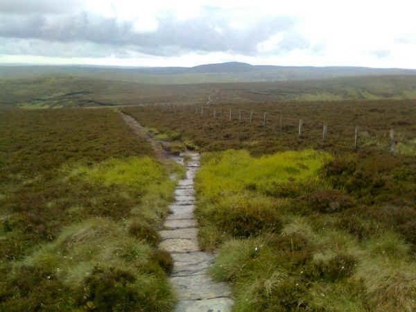
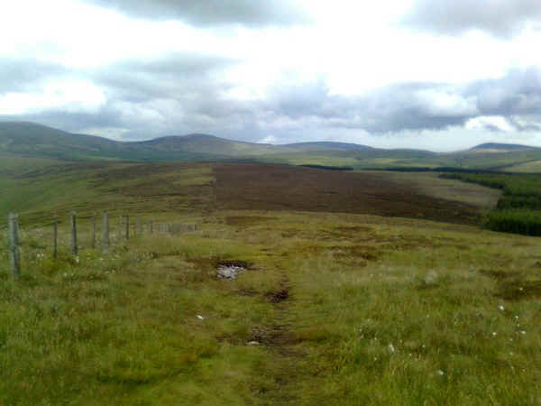
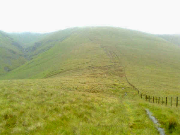
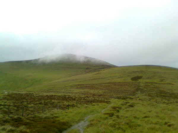
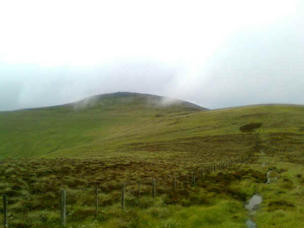
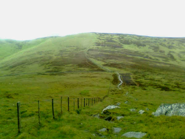
At Houx Hill the PW comes close to a fence which is followed almost continuously for the rest of the day.
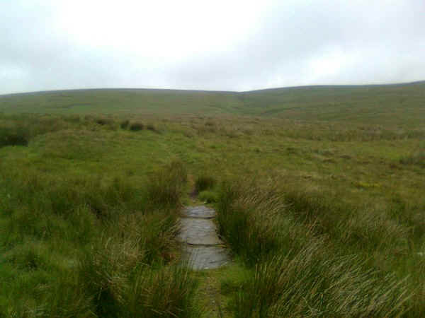
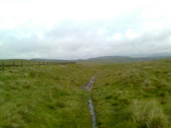
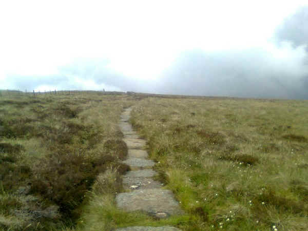
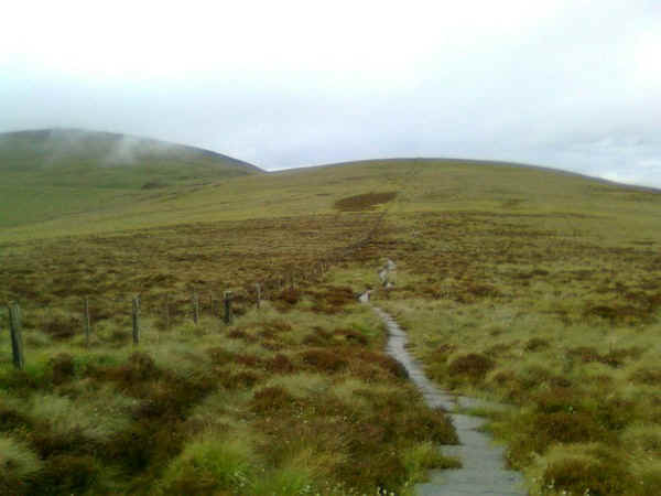
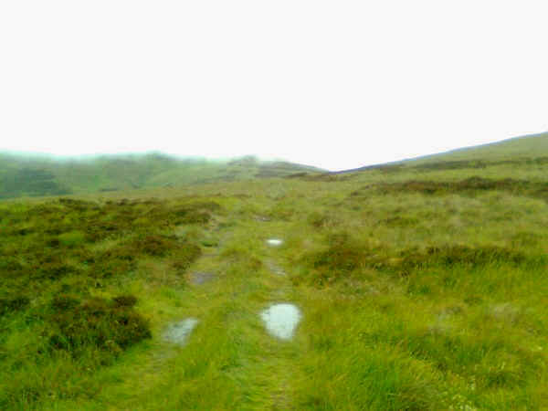
This part of the walk is incredibly boggy and needs careful placing of the feet. I'd met somebody who'd ended up to his knees in the bog the day before! There's a gentle rise to Ravens Knowe at 527m above sea level before...
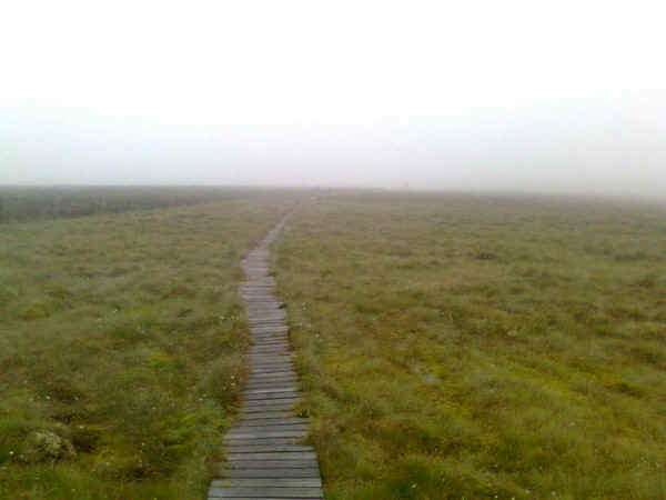
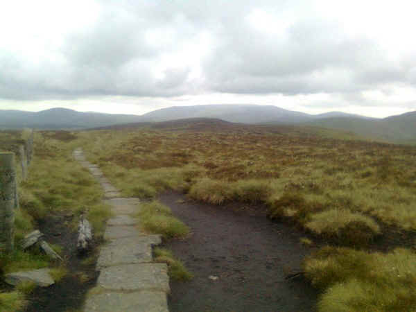
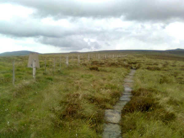
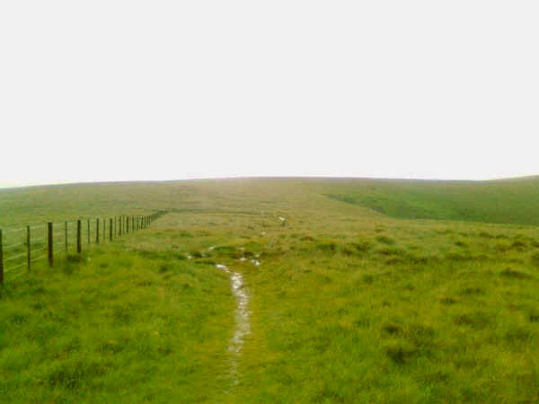
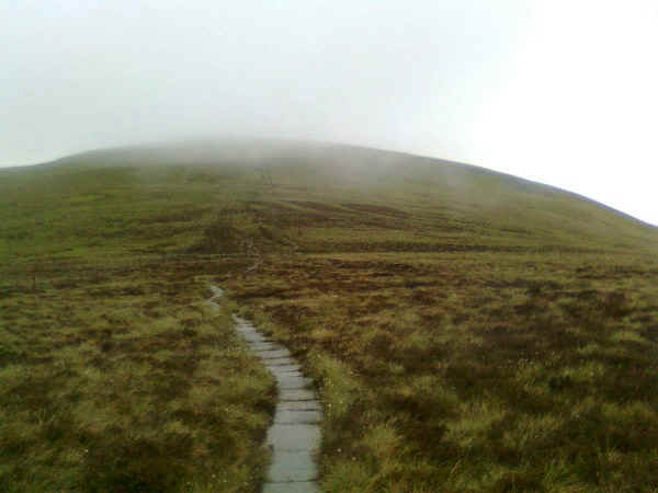
....the first section of the boardwalks.
The PW then drops down to the border fence....
......across more boggy ground.
I'm standing in Scotland, with England to the right of the fence.
A little further at Coquet Head the PW splits with the alternative route going straight ahead but the normal way continuing towards the remains of the Roman camp at Chew Green.
The PW drops down slightly towards the River Coquet and back into England.....
...and passes the earthworks of Chew Green camp.
A signpost directs the PW uphill....
.....across a slab bridge...
.....and onto a broad track that follows the line of the Roman Dere Street that linked York with Scotland. The PW crosses briefly back into Scotland...
....before following the fence along the English side again.
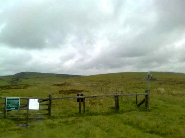
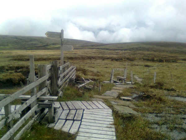
The PW leaves Dere Street at this fence. The green notice gives some background information about it. The PW heads diagonally off to the right across the moor....
...before dropping down to Rennies Burn.
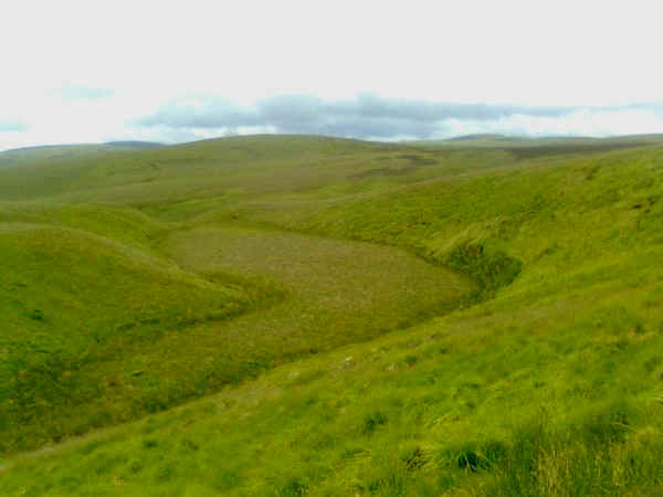
There is a curious geographical feature here which looks as though it might once have been a small lake.
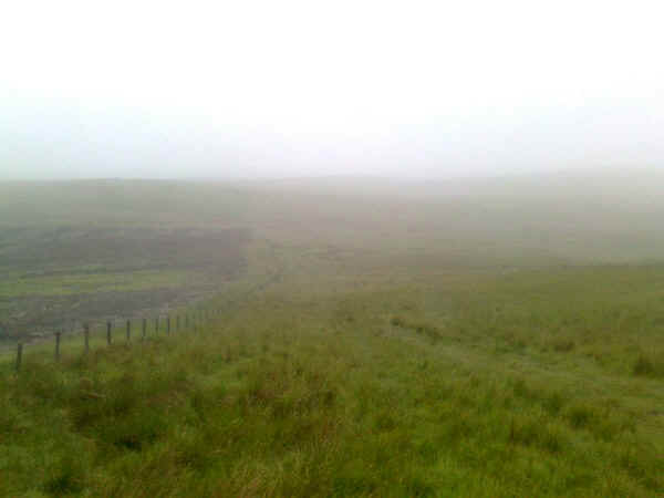
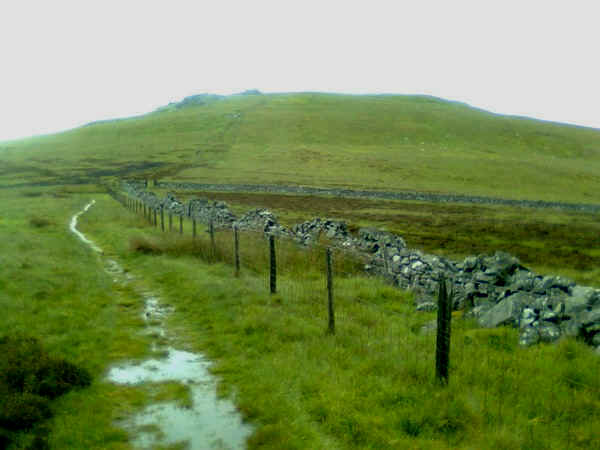
After rejoining the border fence, at a right angle bend, the PW....
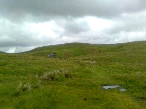
......heads across the moor to the Refuge Hut at Yearning Saddle. The walk to this point had taken me just over four and a half hours hours, rather more than I expected. Progress was often slow due to the boggy sections.
Leaving the hut the path heads straight up to the summit of Lamb Hill at 511m.
Turning around this is the view looking back down to the hut.
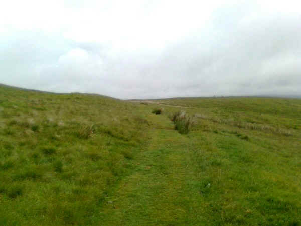
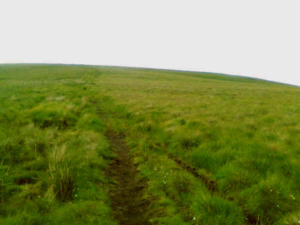
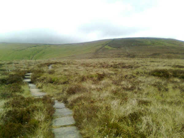
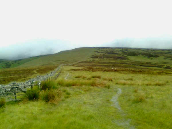
Once at the summit the slabs begin in earnest again...
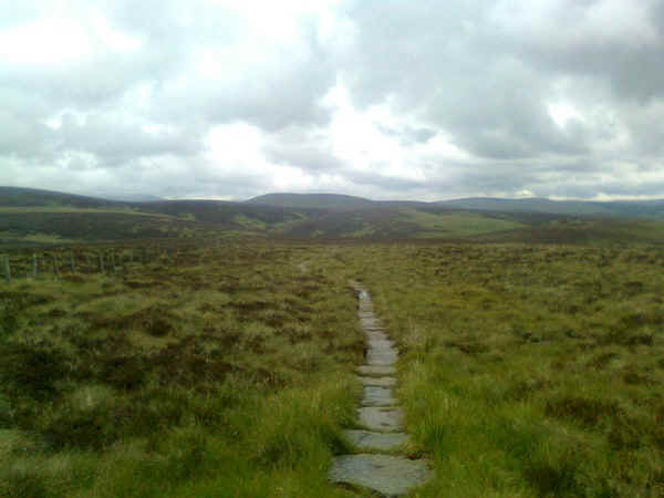
.... as the PW follows the border fence.....
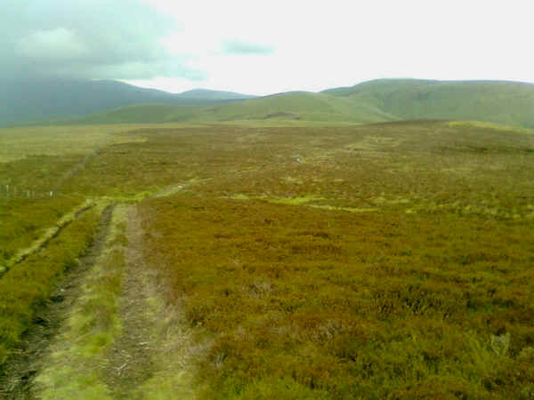
....on and on...
 .
.
...into the distance.....
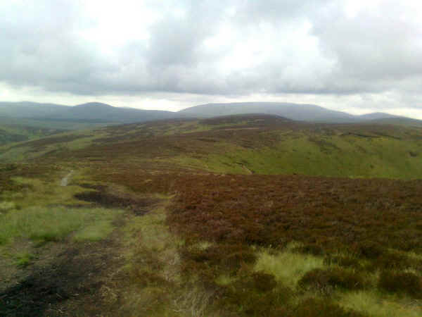
.....across the peaty moorland.
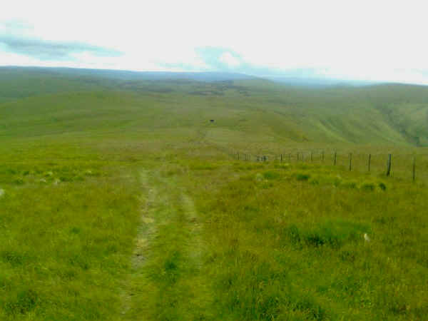
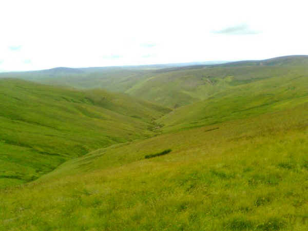
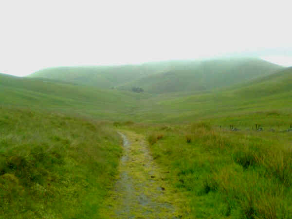
After a lunch break it was onwards again, as the PW rounds the head of the Carlcroft Burn valley to climb Beefstand Hill (561m) and then Mozie Law (552m).
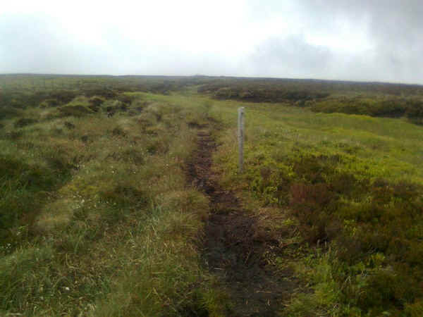
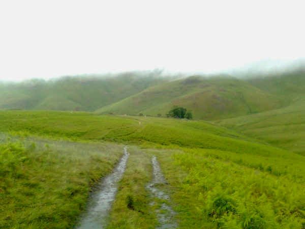
The path leaves the fence for a short while after Mozie Law and cuts across the moor....
....before rejoining the wall as it drops down to the path known as "The Street". This crosses the Cheviots from East to West.
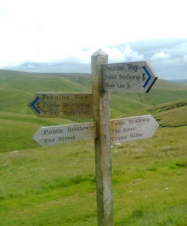
This cross roads is an obvious landmark along this section. At this stage I was beginning to question whether I would have time to climb The Cheviot as I was running about an hour later than expected
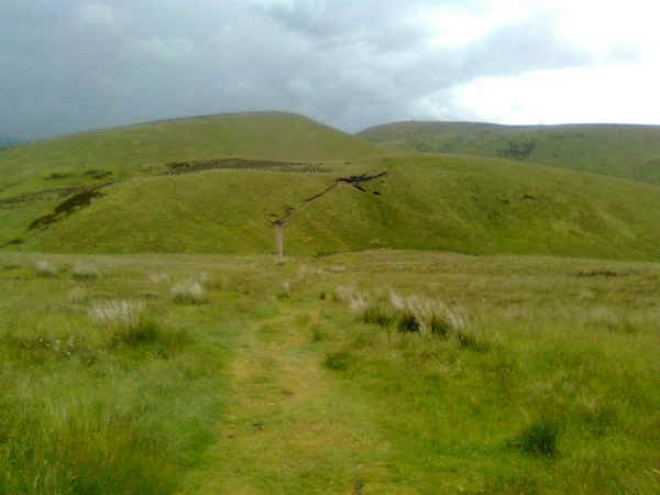
The PW cuts another corner in the border fence and descends, before beginning the climb to Widy Gyle (seen in the distance) which at 619m, is the first summit over 2000 ft high and another peak to tick for hill baggers like me.
This curious marker was passed on the climb - what is it?
First the path climbs to a spot height at 525m before...
....descending to a saddle with Windy Gyle now clearly in view.
To the south is England...
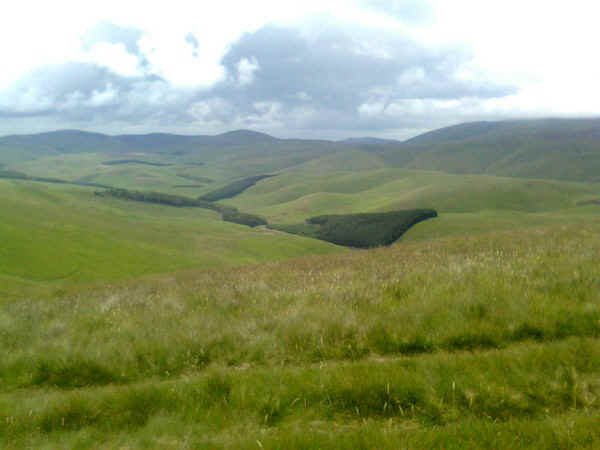
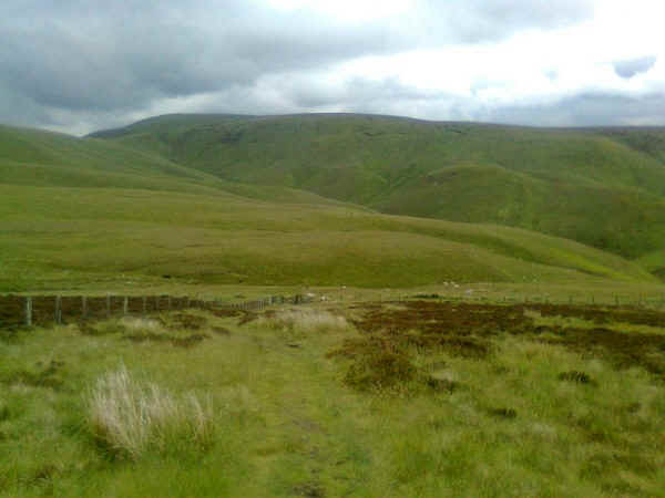
...and to the north looking into Scotland towards Cocklawfoot (where many PW walkers arrange transport to break up this section)
The PW now hops over the border fence into Scotland on the final climb to Windy Gyle.
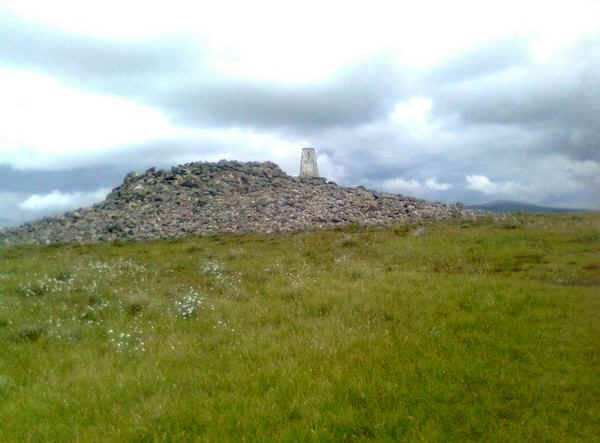
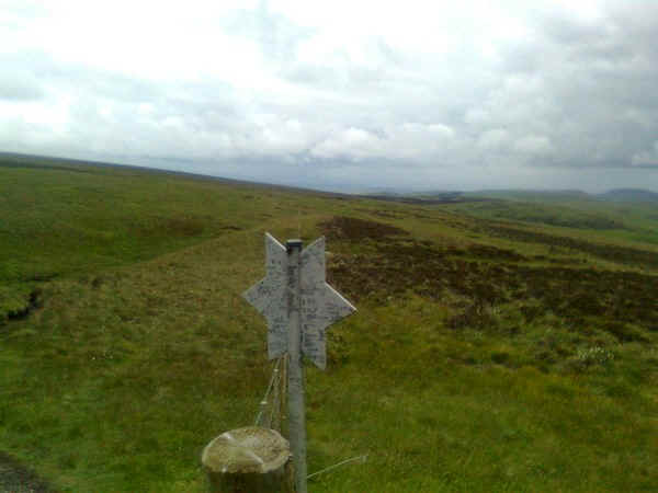
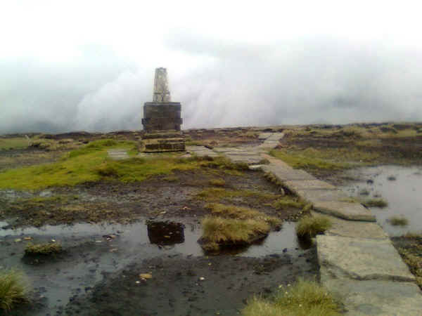
The summit is marked by a large cairn, known as Russell's Cairn ( supposed to mark the site of the mysterious death of Lord Francis Russell in 1585) and a trig point. The cairn is actually thought to be of Bronze Age origin.
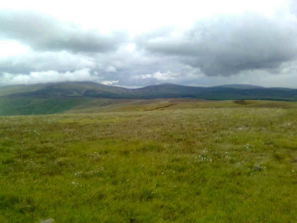
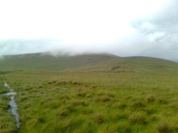
Beyond the summit the first good view of The Cheviot (covered with cloud) is now obvious.
The PW drops back down to the fence....
....although I couldn't find a stile so stepped over it onto another stretch of slabs.
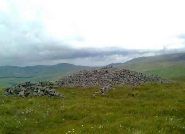
A little beyond Windy Gyle there's another large pile of stones, again possibly dating back to the Bronze Age.
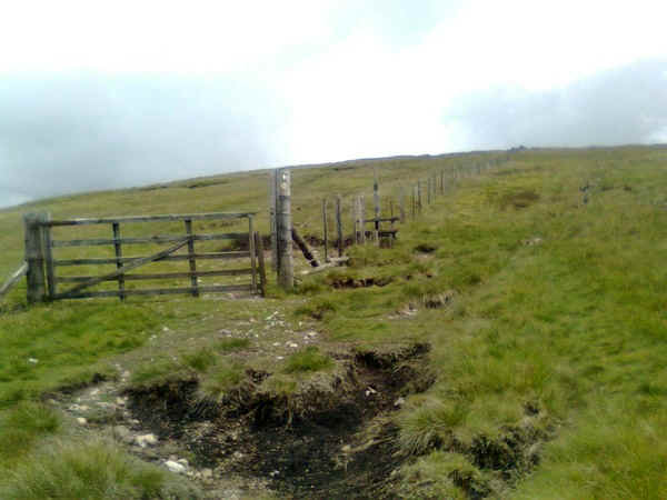
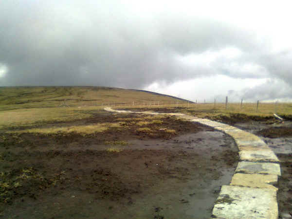
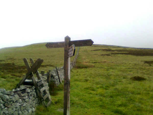
The path now drops down to Border Gate....
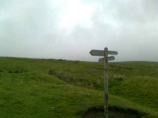
....to reach an old drove road known as Clenell Streetthat that runs from Uswayford to Cocklawfoot. This is the point where many walkers split the long day's walk over the Cheviots.
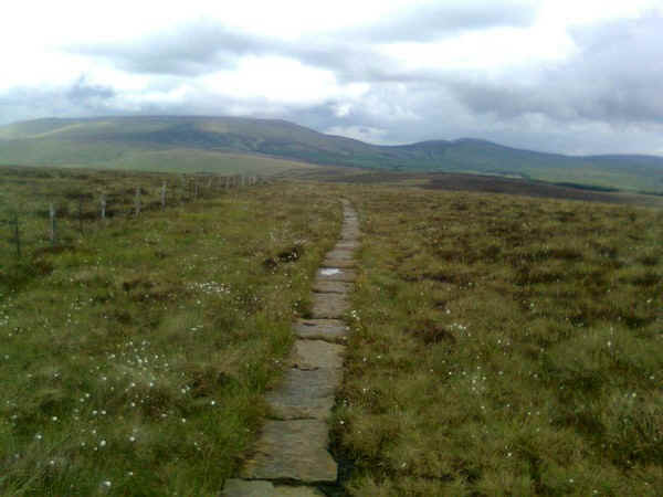
Beyond Border Gate it's back to the slabs...
...as the path heads across the moor...
.....towards the next point on the ridge. Kings Seat (553m)
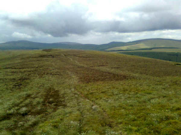
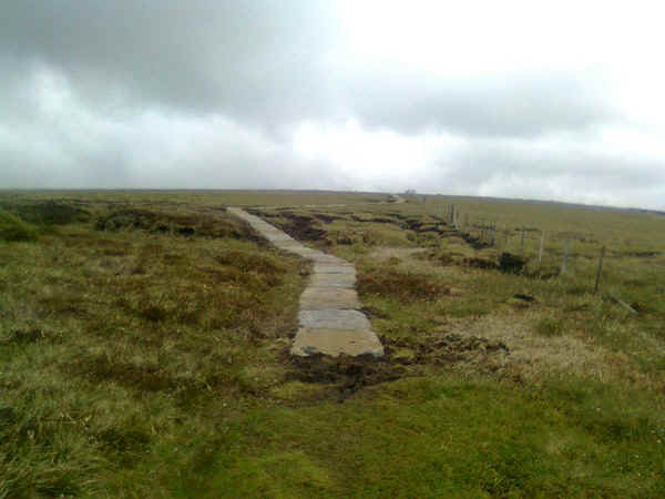
The terrain now deteriorates noticeably as the slabs give way to peat.....
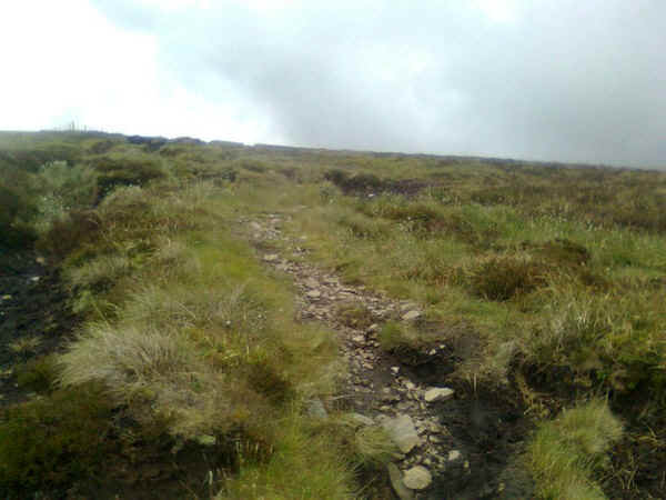
...and stones...
...before the slabs reappear and then...
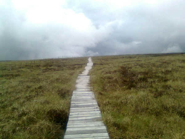
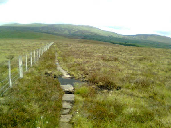
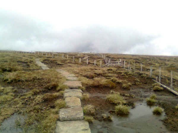
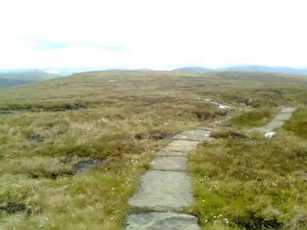
...the boardwalks which stretch for several miles from hereon.
Eventually, the "Y" junction of the Pennine Way, and the extension to The Cheviot is reached. At this point I had to make the decision as to whether I'd time to walk to The Cheviot and still be in Kirk Yetholm before eight o'clock. Given that I see little chance of returning this was probably my only chance of "bagging" this hill and, as it is one of only a handful of 2000 foot hills I haven't climbed in England, there wasn't really much hesitation on my part.
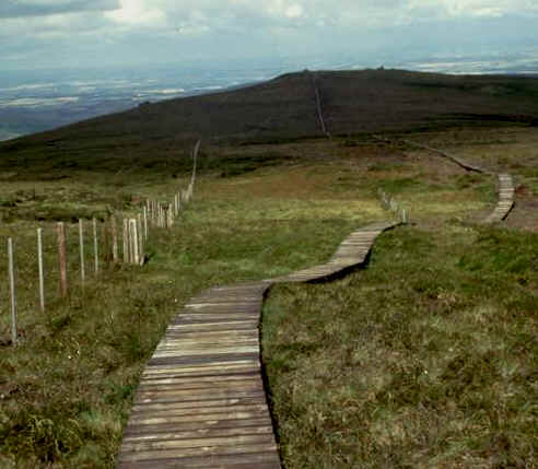
Looking from the junction the main PW heads towards Kirk Yetholm across boardwalks for a considerable distance towards Auchope Cairn.
In the opposite direction the path builders have made it relatively easy to reach the summit with slabs ....
...covering almost the entire distance across the moor.
In places the peat is bare...
...and occasionally the slabs aren't as stable as they look...
.....but I was soon at the summit and this raised trig point. The Cheviot is 815m or 2674 ft above sea level. To finally reach it the path crosses an extremely boggy section where the slabs have disappeared into the peat. I was more than a little careful not to end up sinking into it.
As I returned to the main PW path the clouds rolled in and a torrential downpour started, so there are no photographs along the boardwalk or over Auchope Cairn. I should be grateful really that these couple of miles are the only section of the entire Pennine Way where conditions were too bad to take photographs.
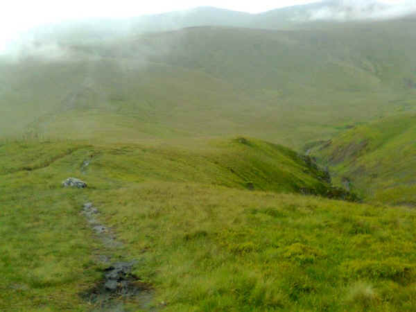
Eventually the rain stopped and the cloud base lifted. Dropping down off Auchope Cairn was very tricky, as the rain had made the ground absolutely sodden and treacherous. I didn't want an accident here at the end of the walk. The PW drops down to the valley of the College Burn before beginning another climb....
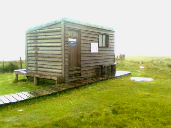
....to the second Refuge Hut.
Looking back towards Auchope Cairn.....
...whilst in the direction of Kirk Yetholm the path was even more sodden.
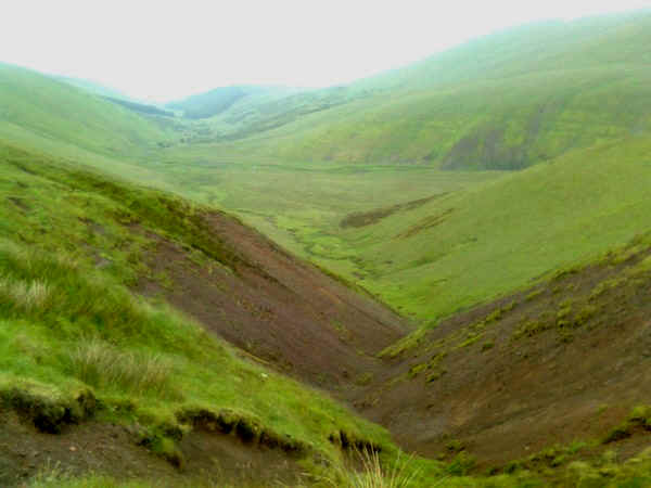
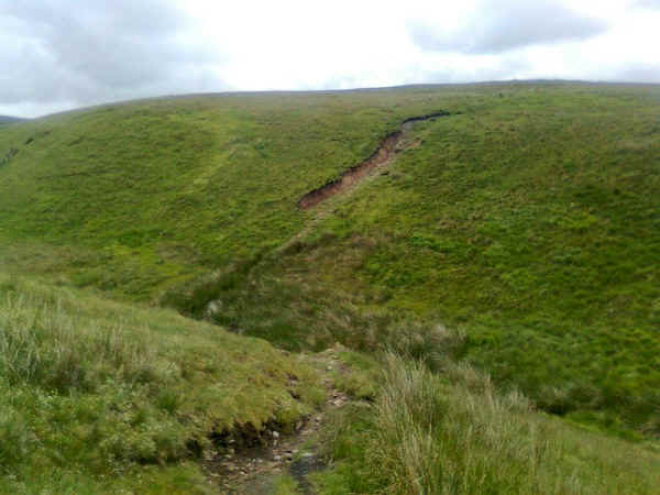
The head of the College Burn with heavily eroded slopes.
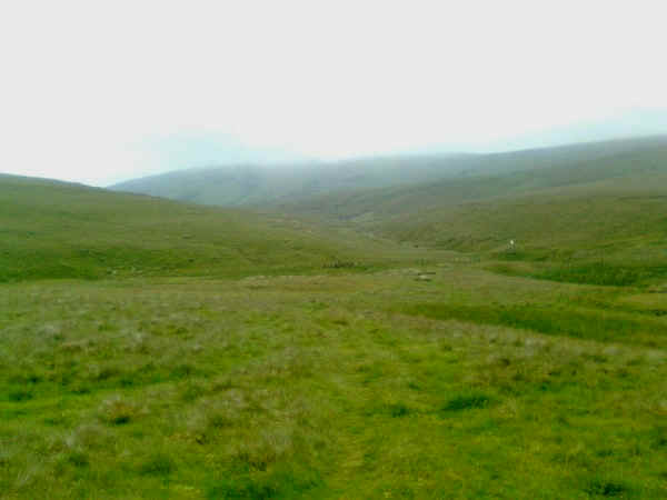
The next challenge of the PW comes into view and shrouded in mist, The Schil (605m).
To get to the summit means crossing more boggy terrain...
...along the border fence. At least I could see the summit now.
There are more slabs that lead....
....on and on, although in places it's unslabbed and very marshy. As I approached the summit the mist came down so no photographs were possible until....
.....I walked down the other side.
The path heads straight along the wall....
.....towards this stile where, finally, England is left behind.
A backwards glance shows The Schil, with its stony cap now free of cloud.
Off into Scotland, the PW takes to an old bridle way as it climbs the slopes of Black Hag....
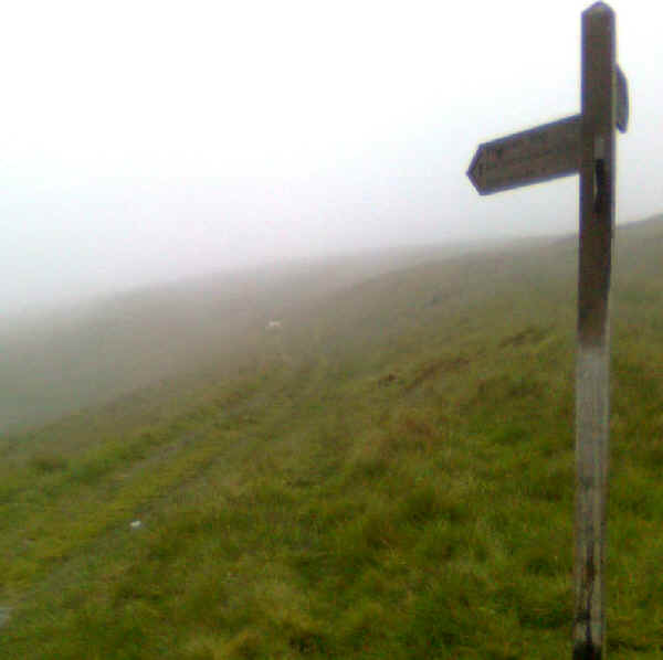
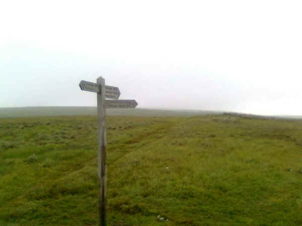
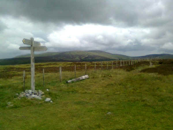
......to this signpost where there is the choice of a low level or high level end to the walk. Really at this stage, there's no contest so down the rough lane I headed. Once again the rain started so the camera was put away.
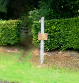
The PW path leaves the broad mine track at a signpost as it descends by the Clifton Burn ....
....and heads north towards.....
....the ruins at Old Halterburn. Those trees are the first since Byrness.
Suddenly, it felt as though the Pennine Way was coming to an end.....
....as the track heads down the Halter Burn valley....
....over a footbridge to avoid Burnhead Farm....
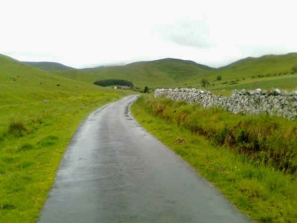
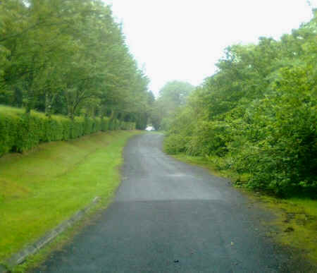
...to reach the paved lane ....
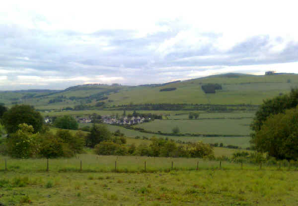
...that leads into Kirk Yetholm. There's one rather steep section still to climb over the saddle to the left of the photo and then....
....Kirk Yetholm appears. I arrived at a quarter to eight, having taken twelve and a half hours to walk from Byrness. I was well pleased with my time and glad that I'd chosen to do this last day in one "hit".
The final day is a real challenge, particularly mentally. In really bad weather, with rain and low cloud it could be extremely dispiriting and, in places, navigation could be a problem as the way isn't always totally clear. The lack of real landmarks is what marks this section out from all the others.
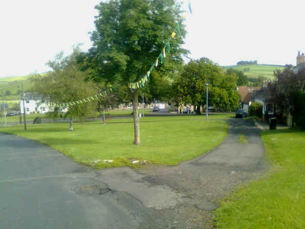
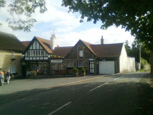
The photographs below of the village green and the Border Hotel, the official end of the walk, were taken the following morning in better lighting.
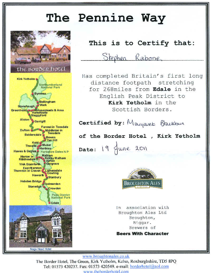
Finally, of course, there was that certificate to claim. Not having done the walk in one continuous effort I was not entitled to the free half pint of beer but I could live without that!
So 256 miles (plus The Cheviot extension) from Edale the walk ends. I'd started it in March 2010 (instead of a planned walk up Ben Chonzie in the Scottish Highlands when heavy snow fell). I'd then walked the rest of it during my enforced sick leave during summer 2010 in day and weekend sections and finally completed it just after I retired from teaching in June 2011.
A super walk!! What next?