Dufton to Alston
Click here for link to a GPS map of this section of the Pennine Way on Google maps
Day 13 of my Pennine Way walk was another long one of about 20 miles. Initially, it was disappointing to wake up at Dufton and find leaden skies, drizzle and low cloud but, fortunately, the day's weather dramatically improved later on. After a pleasant breakfast at Hall Croft B&B (highly recommended - super home made bread, but don't expect sausages or bacon for breakfast), it was time to leave Fran at the car park and head for the hills.
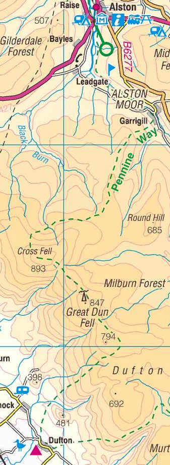
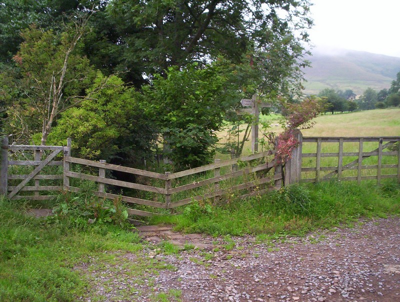
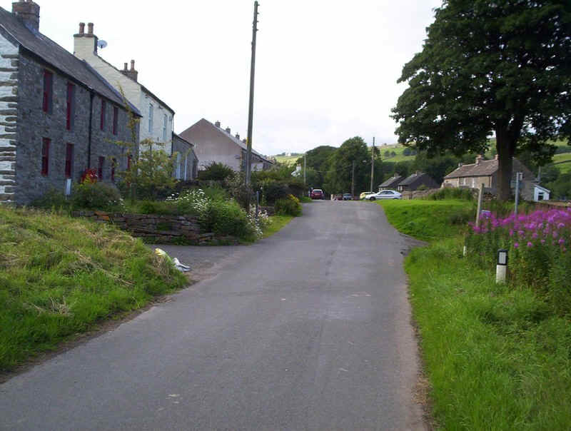
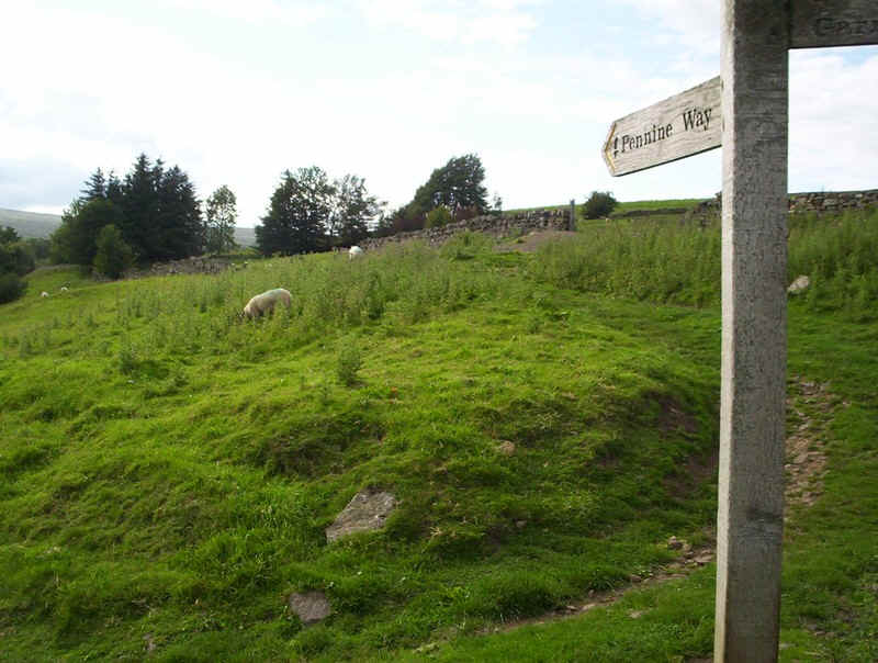
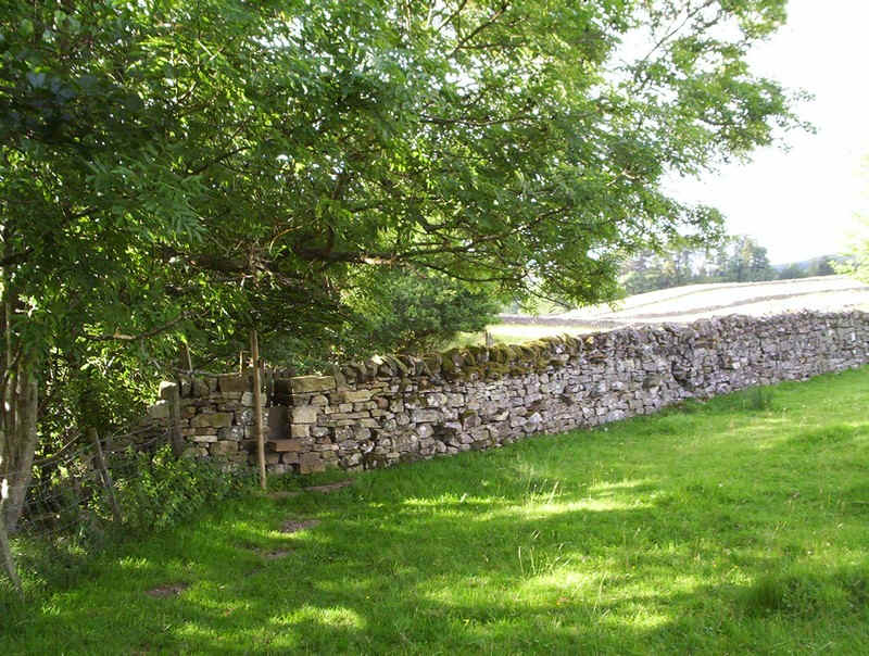
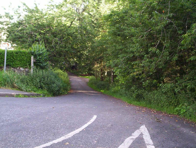
The PW leaves Dufton between these two houses, built in the local red sandstone.
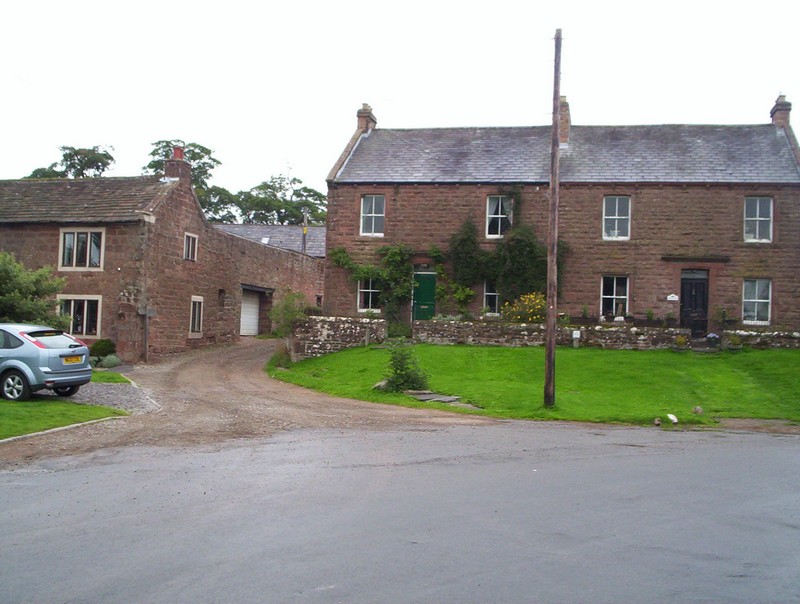
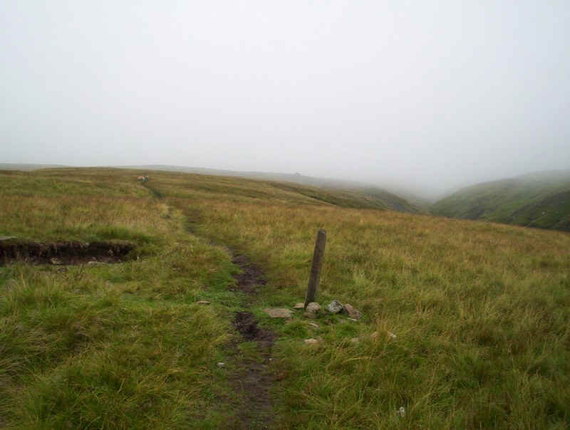
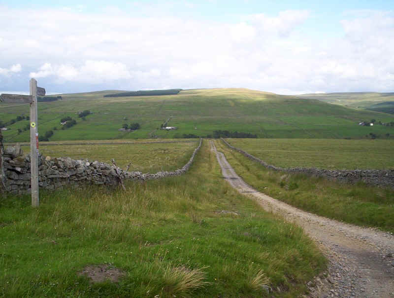
The signpost says it all - fifteen miles to the next village, across the highest point in the Pennines.
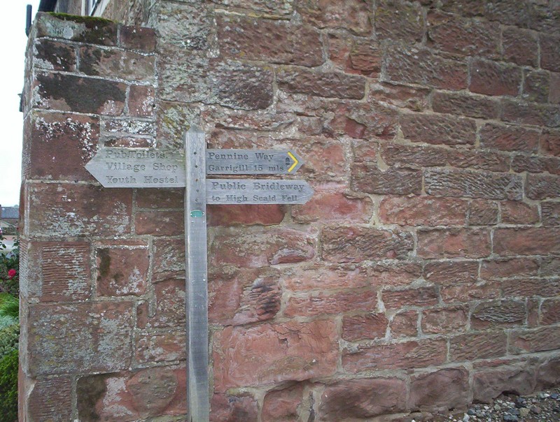
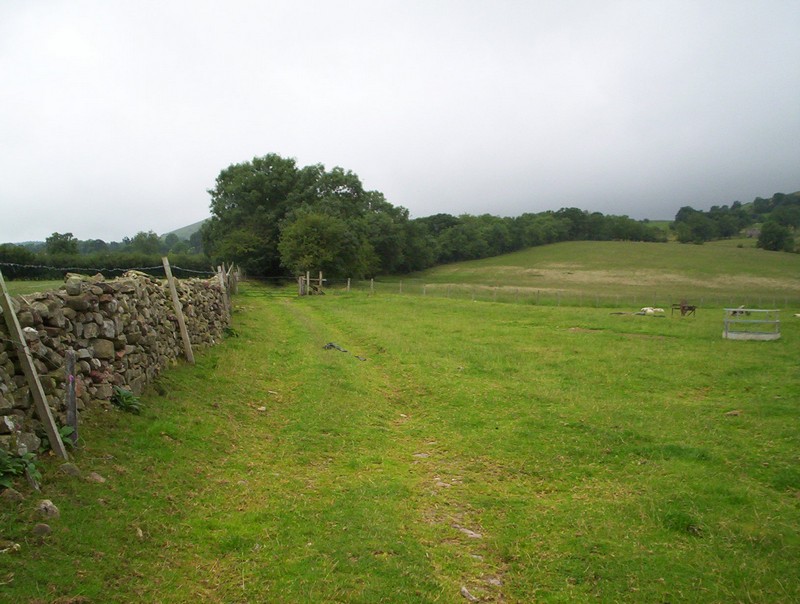
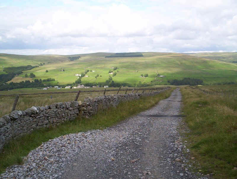
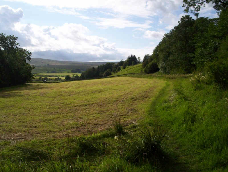
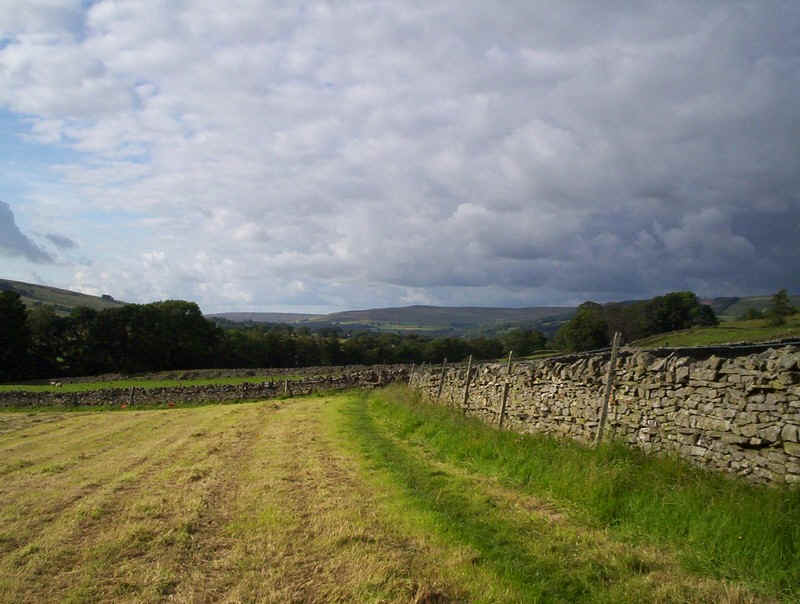
The way heads down a farm track.....
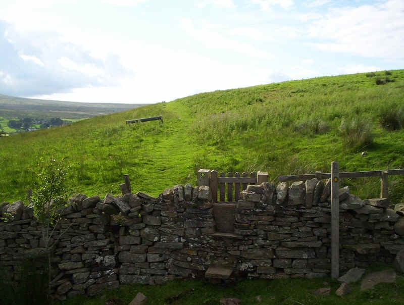
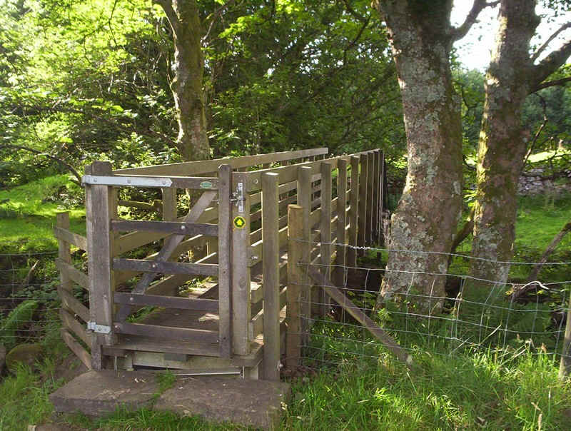
.....before passing through a kissing gate....
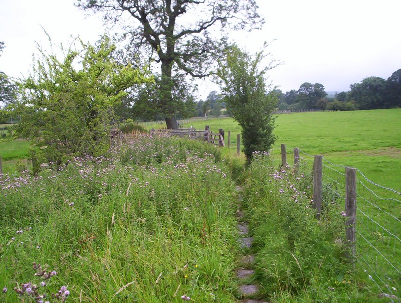
.....and along a narrow path along edges of fields.
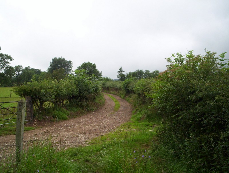
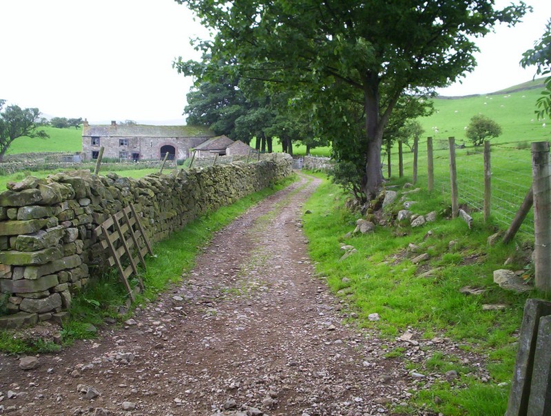
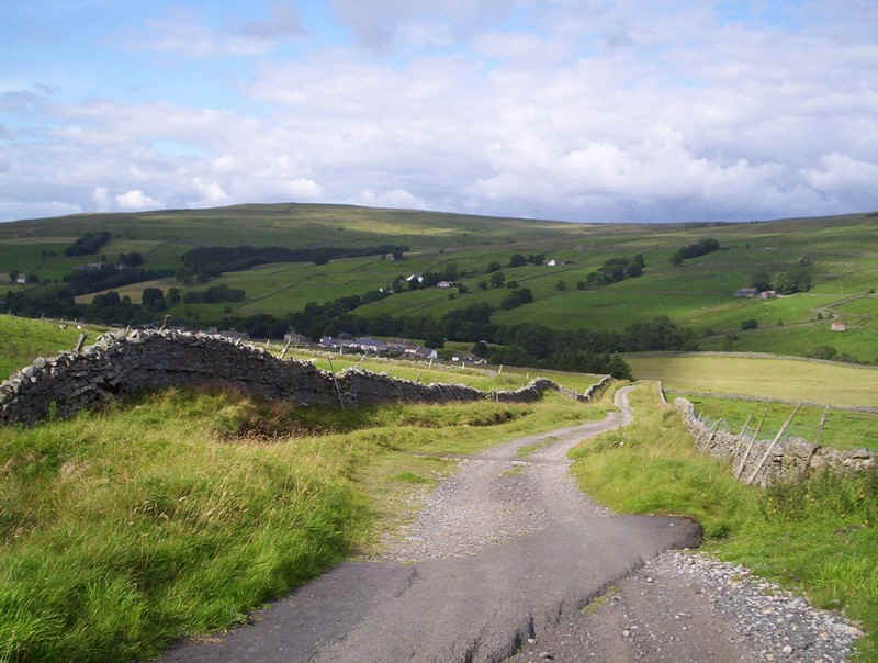
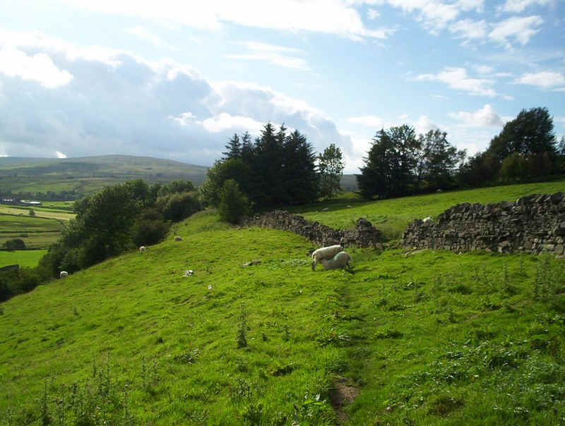
A farm track is joined, which leads...
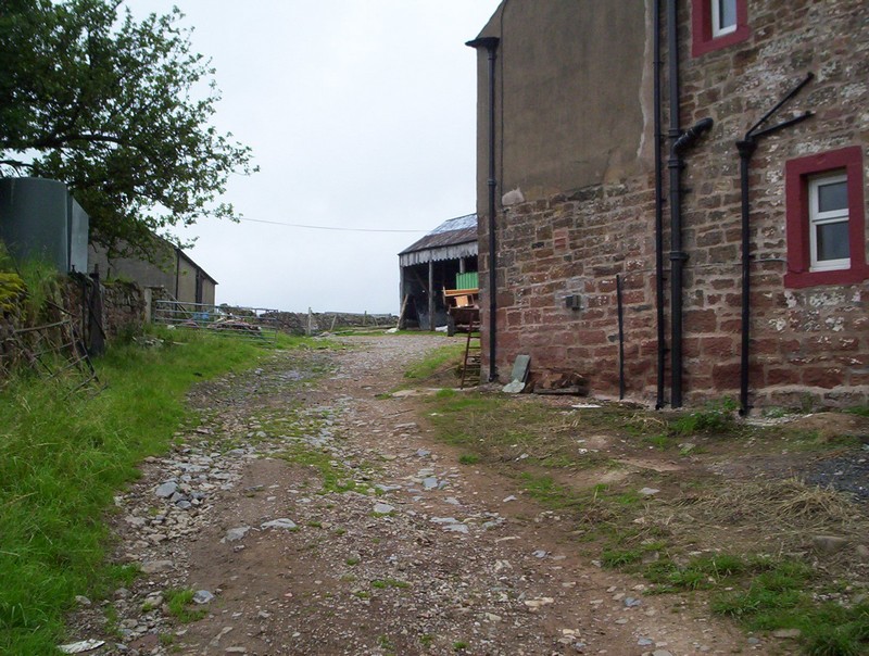
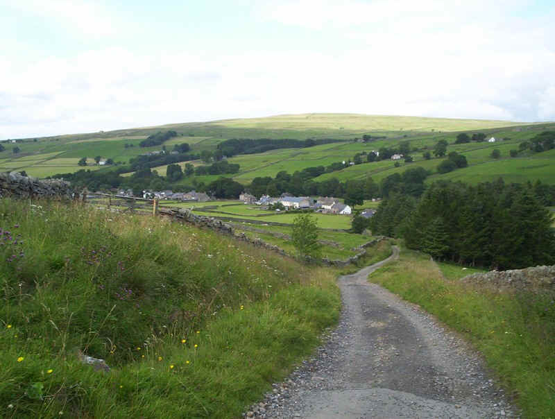
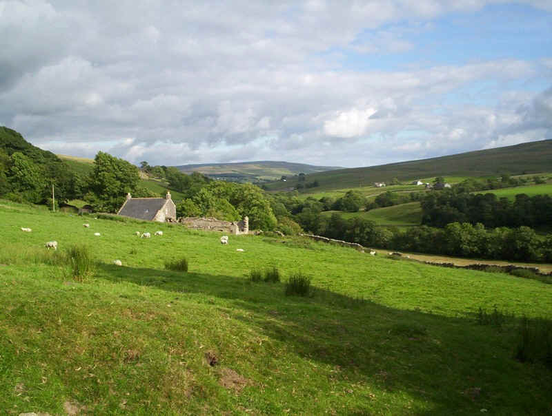
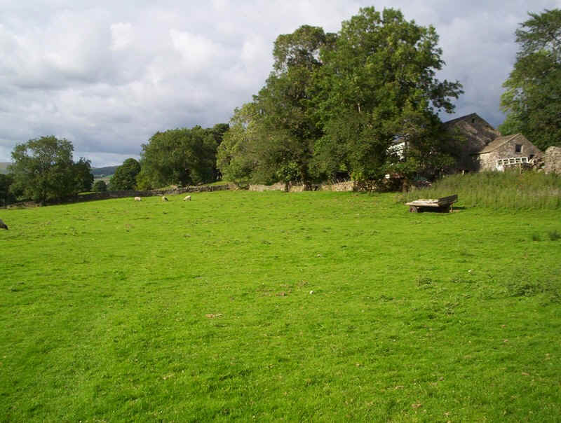
...past Coatsike Farm....
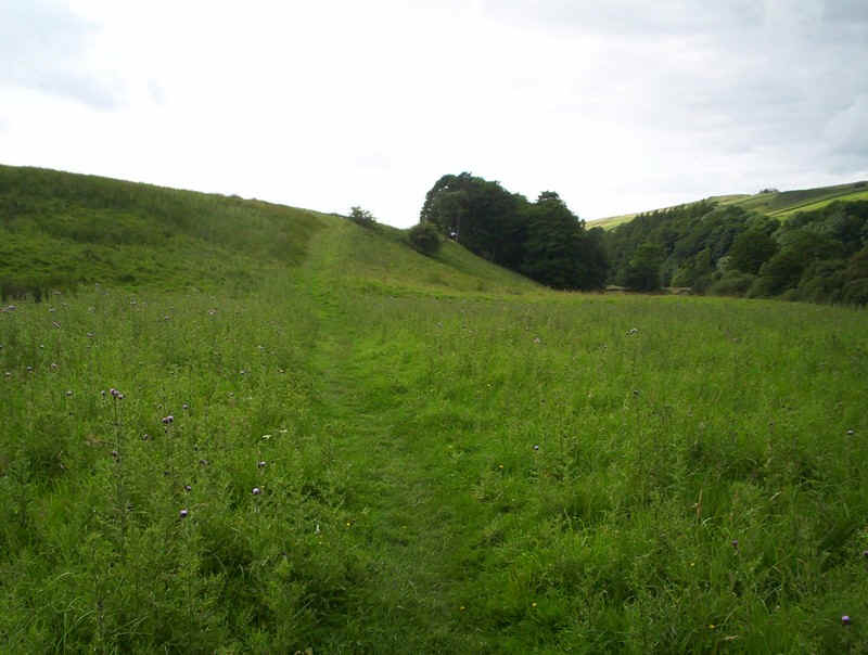
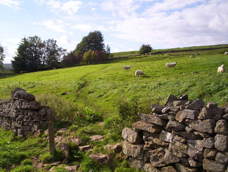
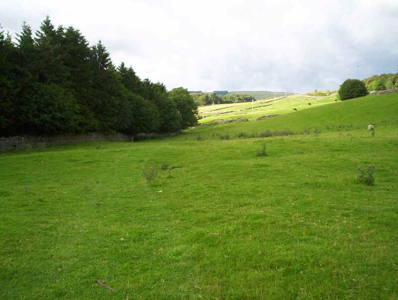
......across meadows...
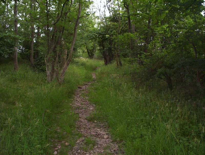
.....and through woods....
.....to this barn, where I had to wait for a farmer to move his flock of sheep into another field.
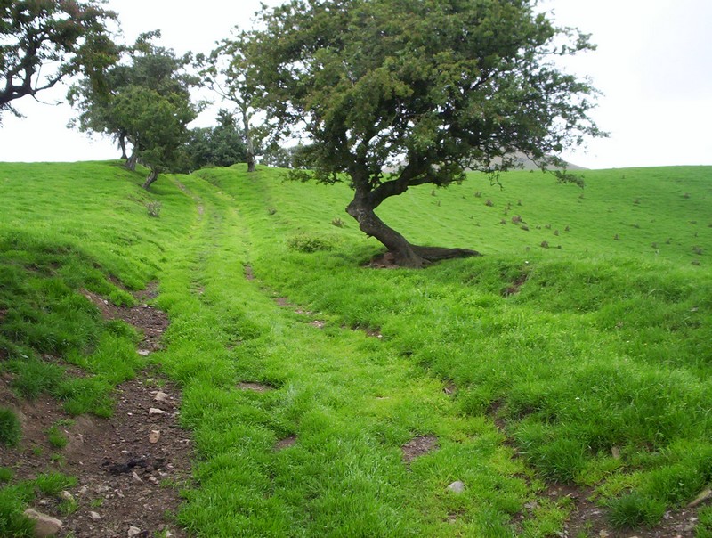
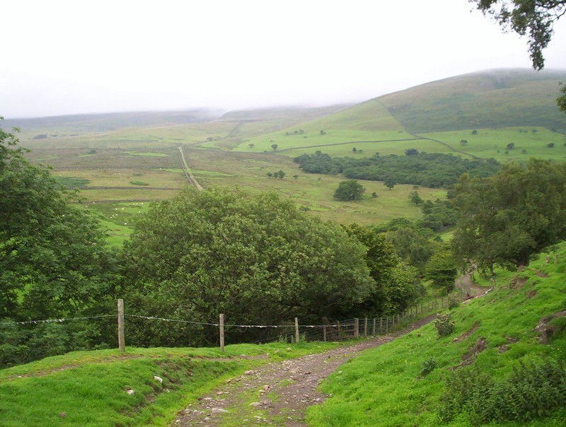
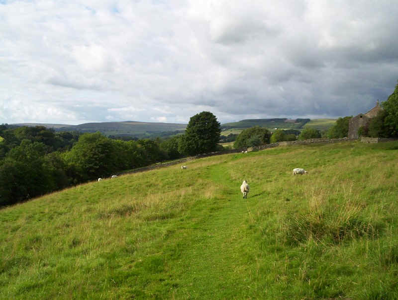
Then it's out onto the hillside...
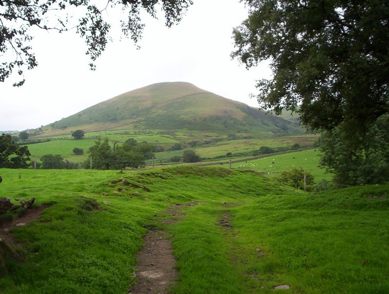
....with a view of another of this area's conical hills, Knock Pike.
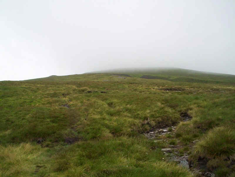
The PW drops down to a Great Rundale Beck. It was at this point that I realised that yesterday's walk had left me with the beginnings of a large blister on the side of my foot, so out came the first aid kit.
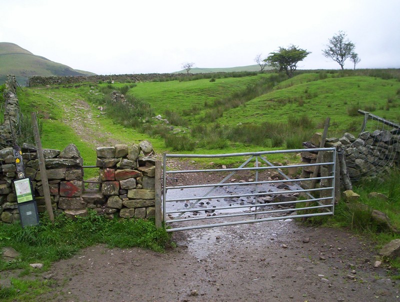
The PW enters the open access area...
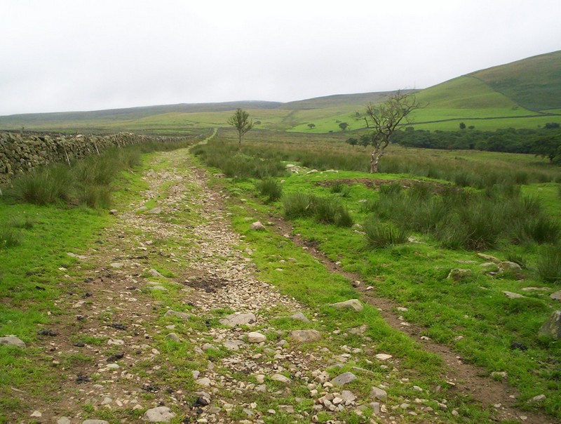
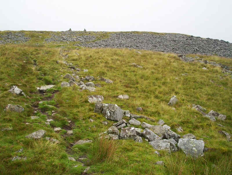
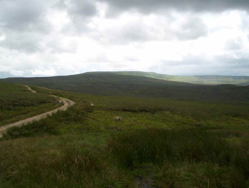
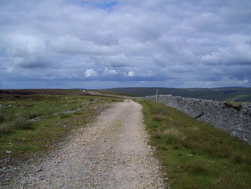
....and follows another old mining road, which heads directly uphill.
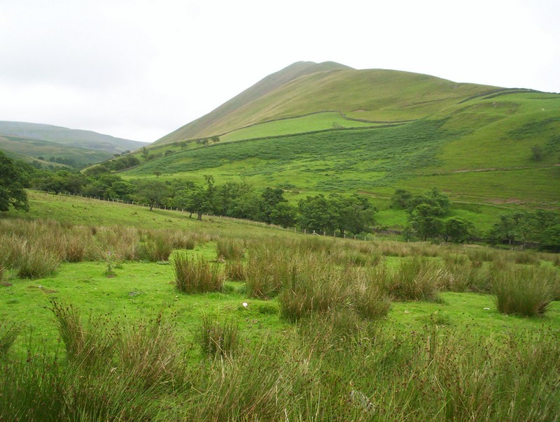
To the east is Dufton Pike.

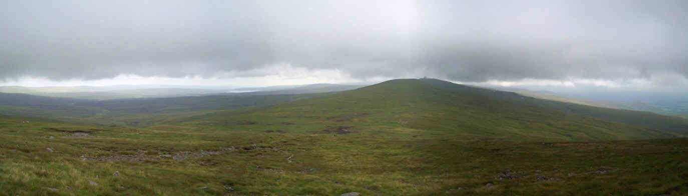
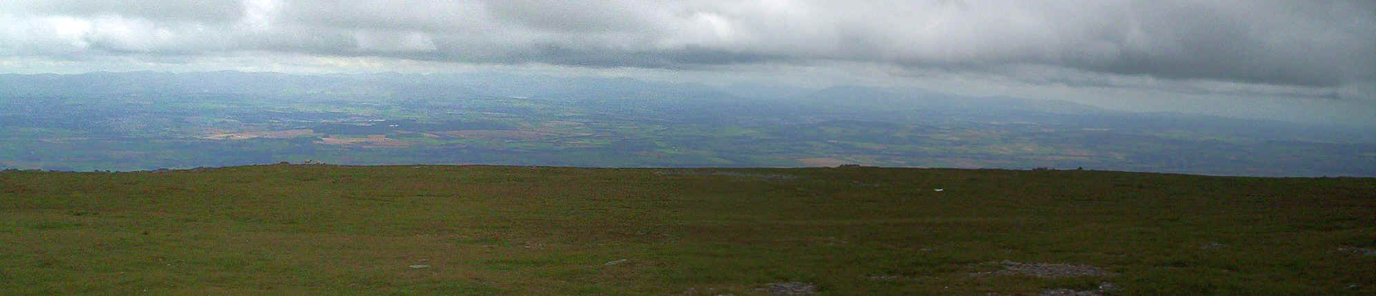
Looking back towards the Eden Valley with Dufton Pike on the left and Knock Pike to the rights. Click on the panorama for a larger image.
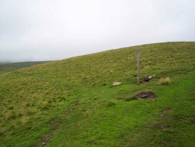
The PW leaves the mining track at this junction, easily missed in mist.
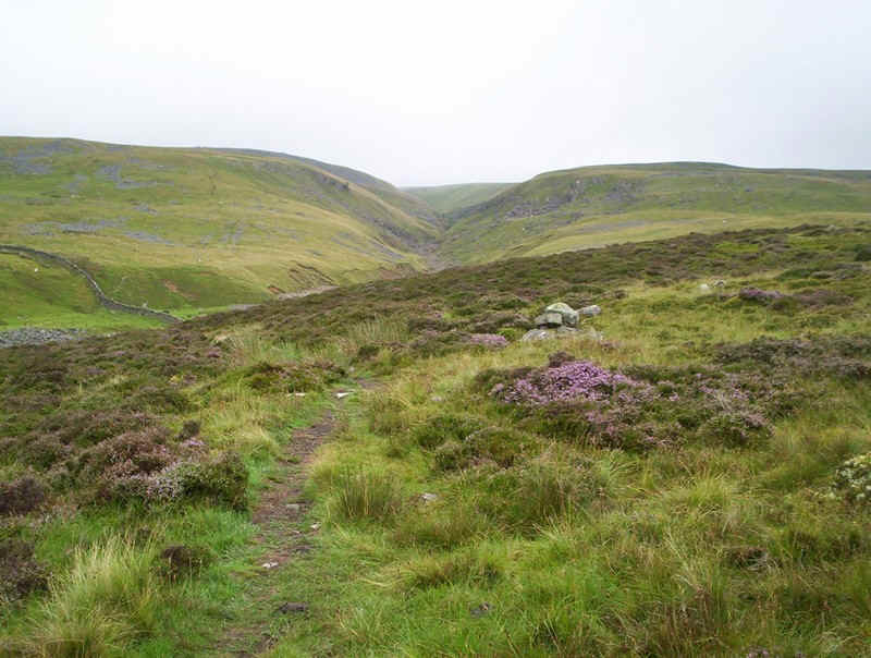
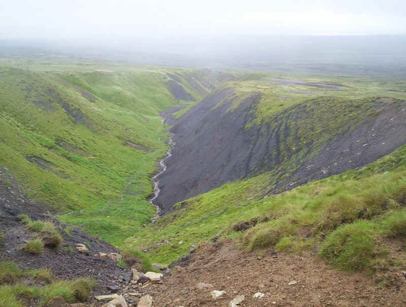
Crossing heather, the way drops down to Swindale Beck, which is...
.....crossed by a footbridge.
The Beck appears to be normally dry but, in flash flood conditions, the bridge would obviously be needed.

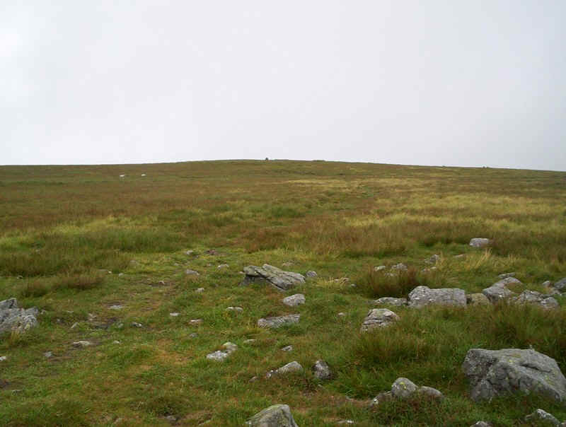
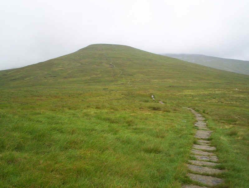
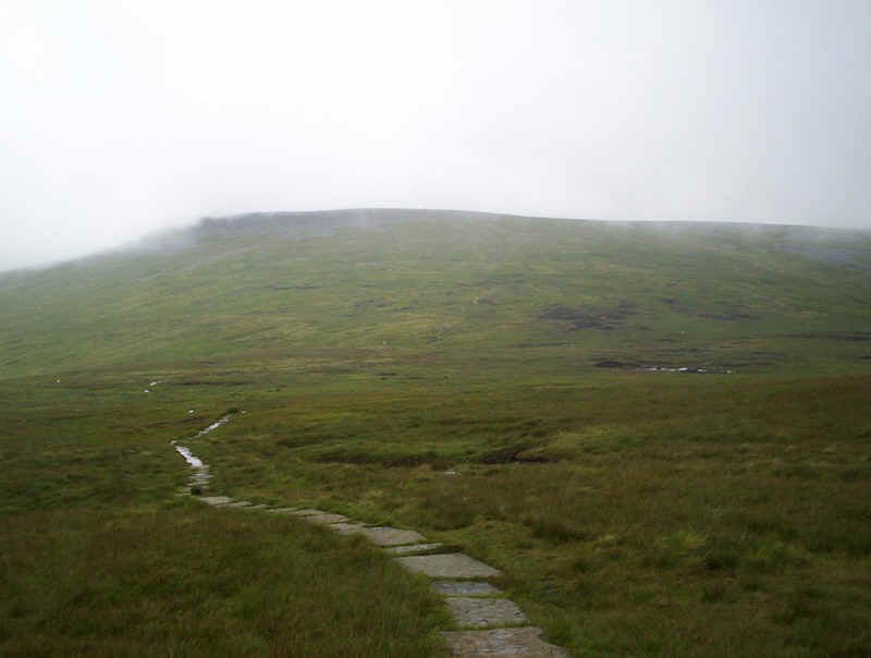
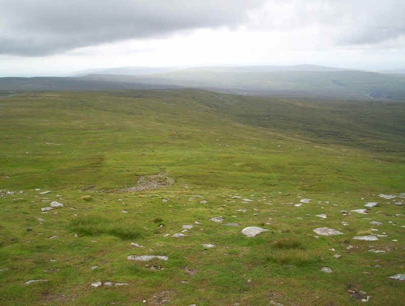
The PW now begins to climb onto Green Fell.
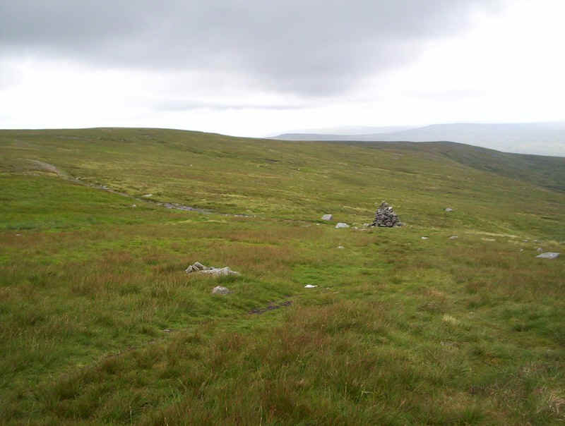
There's a clear path as it heads towards these two cairns on the skyline.
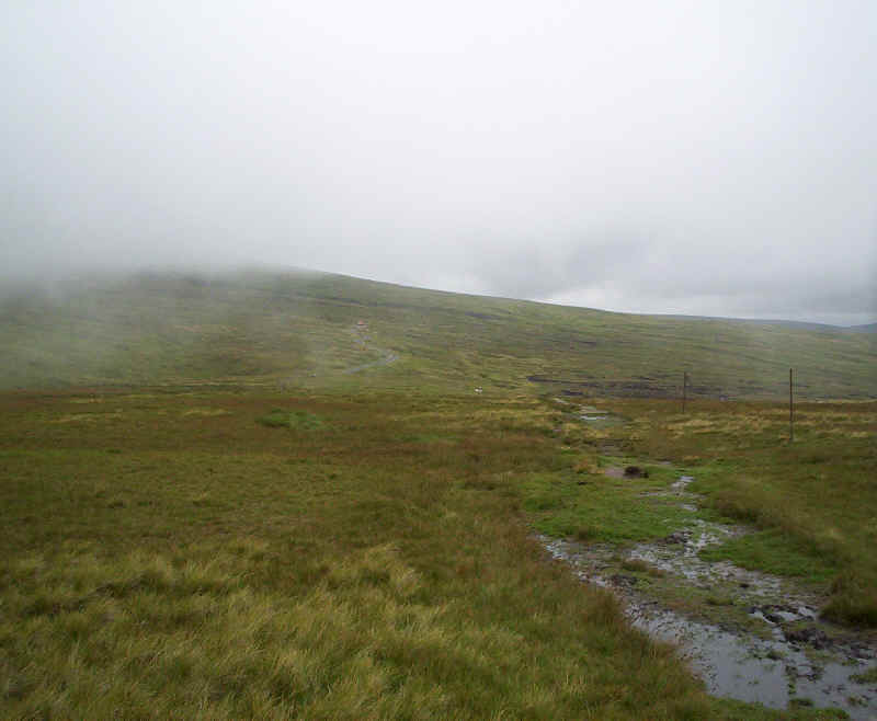
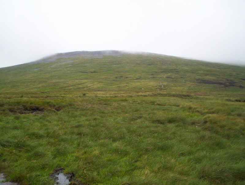
The track then runs parallel to Swindale Beck....
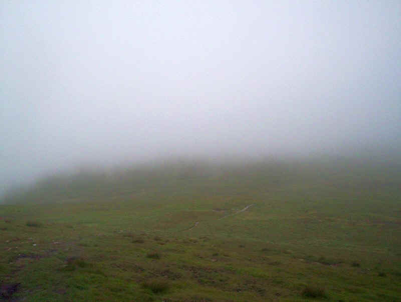
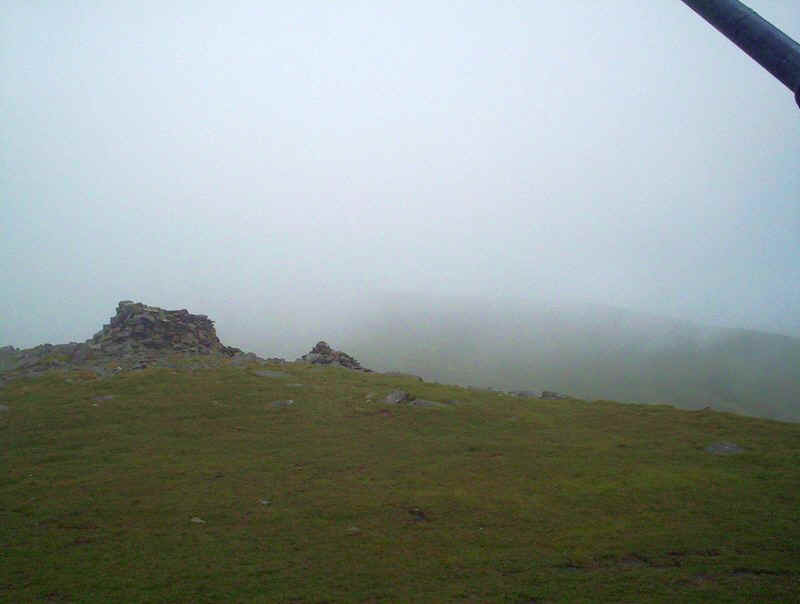
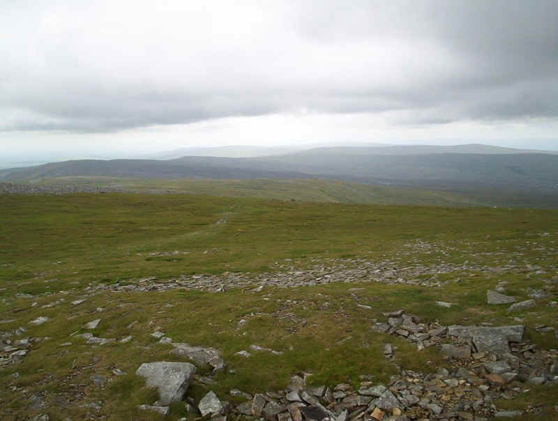
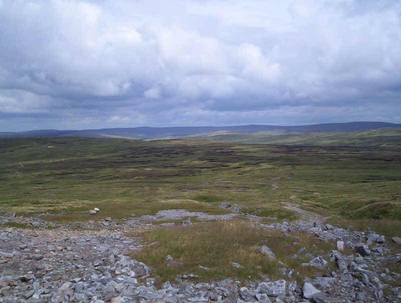
......with the occasional wood or stone marker. As can be seen, the mist was down and I was feeling slightly down at not having any views.
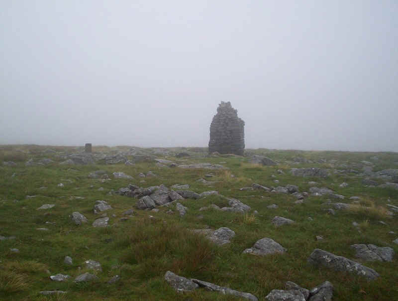
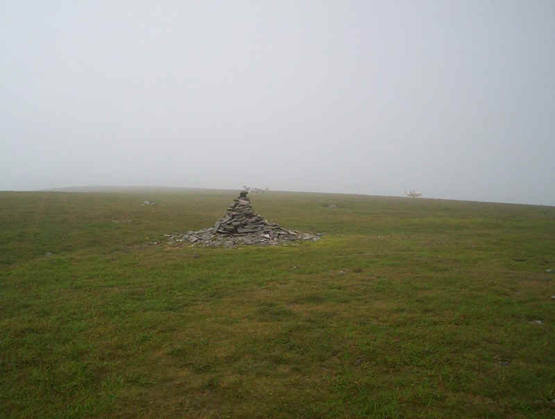
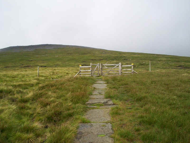
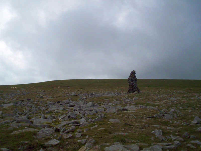
The next landmark to be seen is this substantial cairn, near the top of Knock Old Man but...
... the actual summit at 794m is a bit further on.....
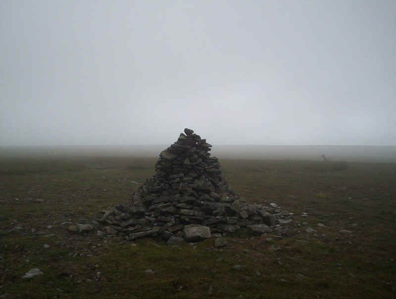
.....at this less imposing cairn.
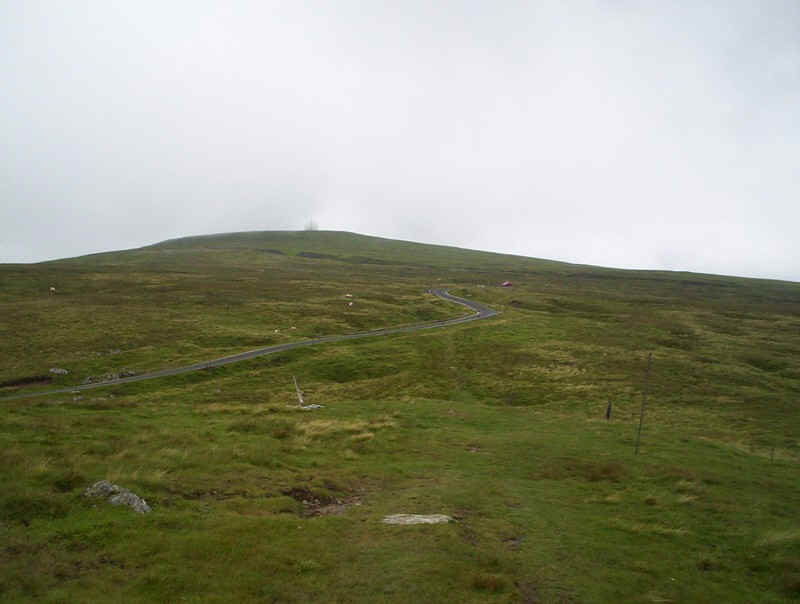
The PW now drops down the northern spur of Knock Fell, sometimes across slabs....
....to reach the road that climbs up Great Dun Fell to the radio station.
The mist suddenly clears, and the white "golfball" can be seen at the summit.
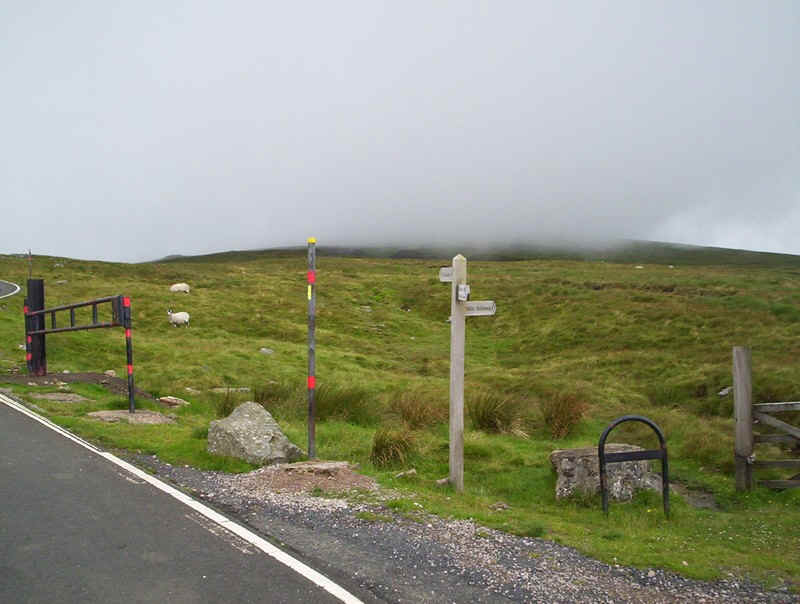
The paved road is followed for a short distance, before the PW heads across....
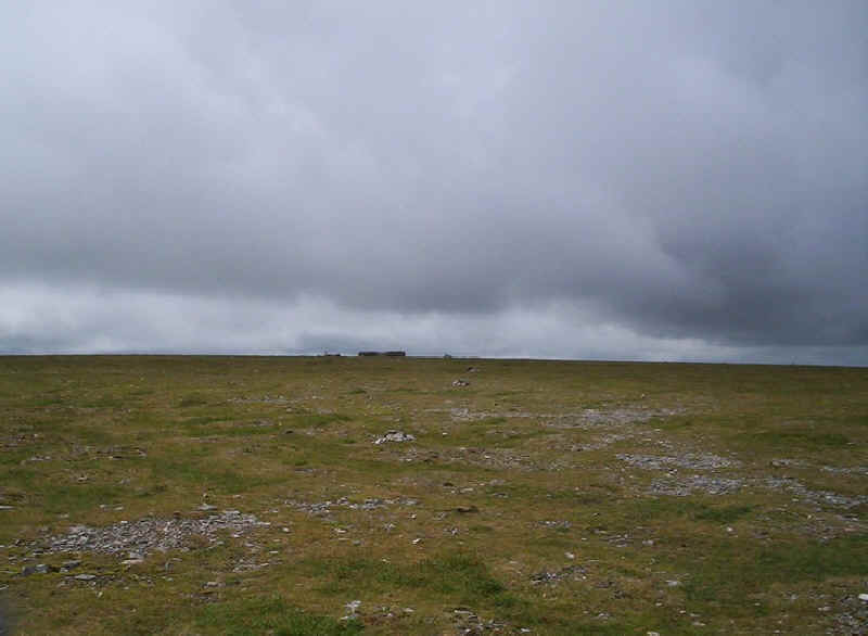
....a very boggy and ill-defined section. Any walker in a hurry, might be better advised to keep to the road as far as the summit.
However, this would mean missing evidence of the area's industrial past in the form of this "rush", where water was used to gouge out the surface soil to reveal minerals.
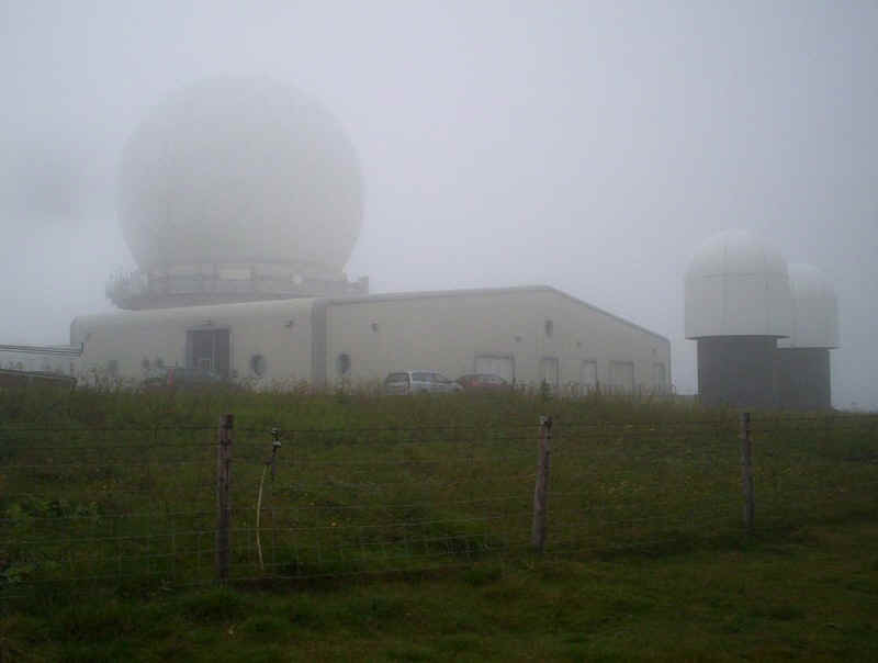
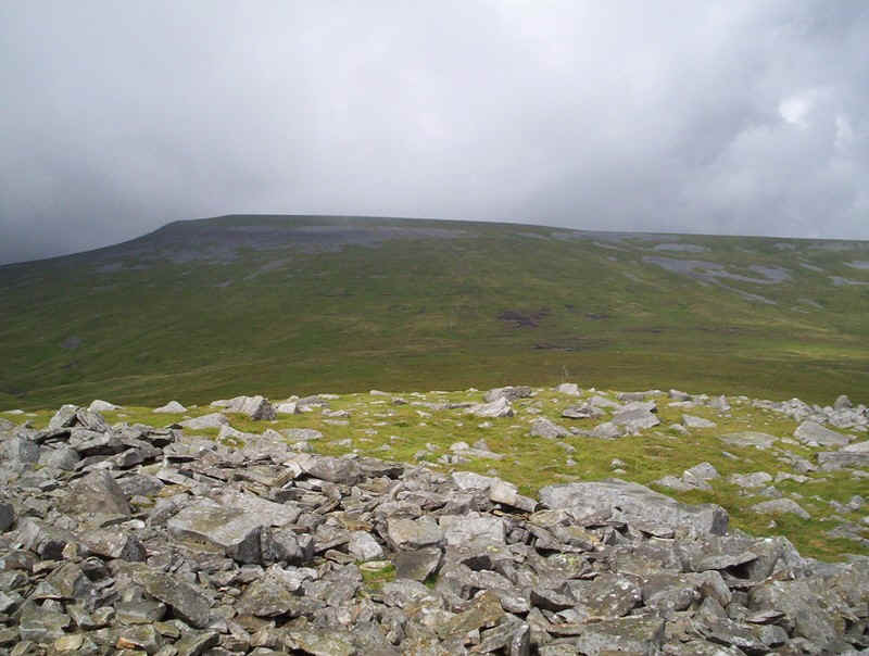
The radio station, used for air traffic control, is a rather hideous disfigurement of the summit of great Dun Fell (848m).
The Pennine Way now drops down to a col between Great Dun Fell and neighbouring Little Dun Fell. As can be seen the view was limited....
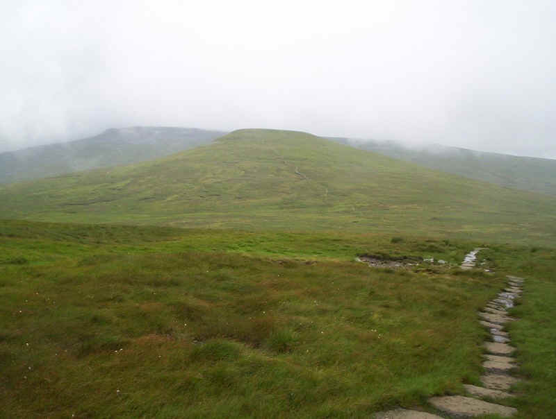
.....but, suddenly, the mist cleared and I could see both Little Dun Fell and Cross Fell beyond. The path was easy and often paved...
....and heads directly towards Little Dun Fell.....
......where a cairn is met at the summit (841m).
A little further on, this windbreak seemed a suitable place for lunch and, whilst I was there,.....
......the weather began to change. Cross Fell cleared of mist and, after a short break,...
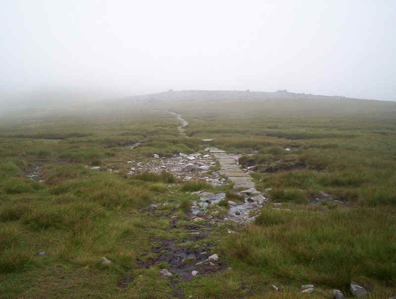
......I headed off along the slabbed path.....
......down to the slightly boggy coll.....
.....and then up to this gate at a boundary fence.
Looking back to Little Dun Fell....
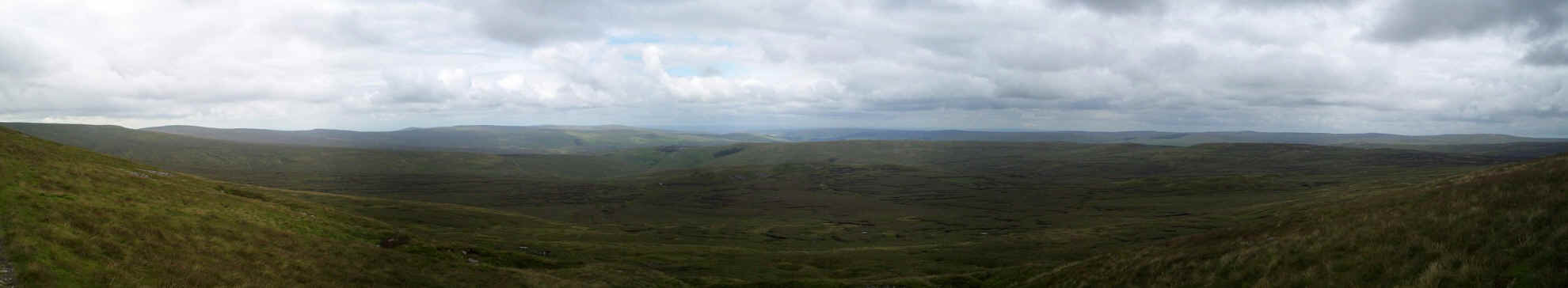
.....and a panorama across the wide open Northern Pennines. To the left are the upper reaches of the Tees valley, with Cow Green reservoir in the distance, whilst, to the right, the land falls away to the Eden Valley. In the centre is Little Dun Fell and, just visible behind it, is Great Dun Fell. Click on the panorama for a larger image.
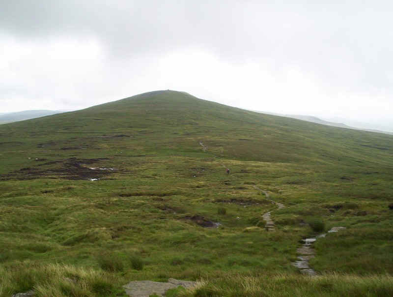
The climb to Cross Fell is an easy one and a series of cairns leads the walker towards the.....
.......summit.
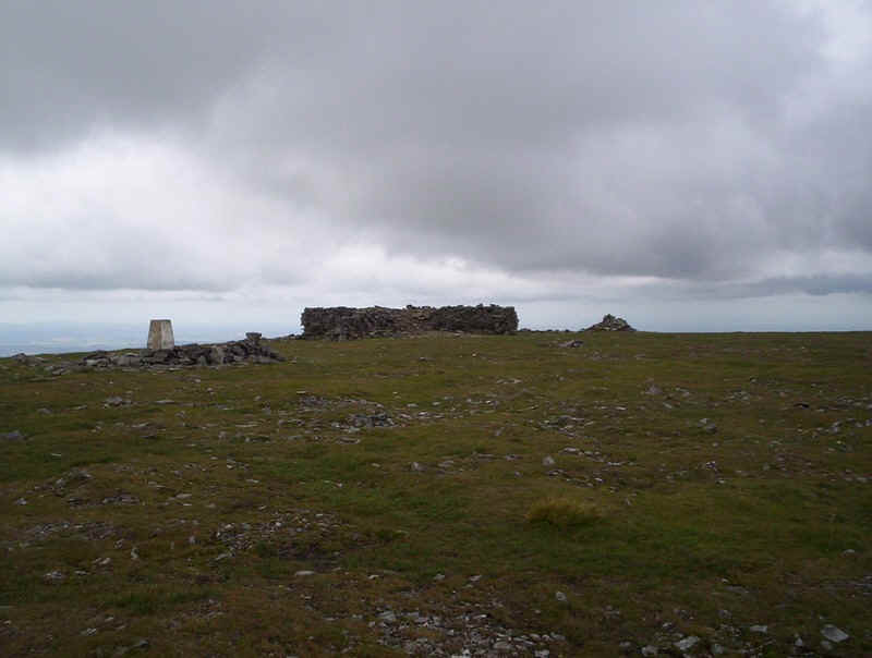
There's a trig point and a large shelter.....
.......as well as a dramatic panorama across the whole of the Eastern Lake District. Sadly, lighting conditions didn't help produce a good panorama. Click on the panorama for a larger image.
After a short break, it was off downhill along a clear path, which...
.....descends gently...
.....to this cairn where the PW meets the old "Corpse Road", which leads down to Garrigill.
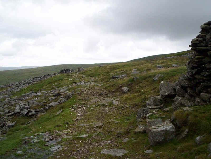
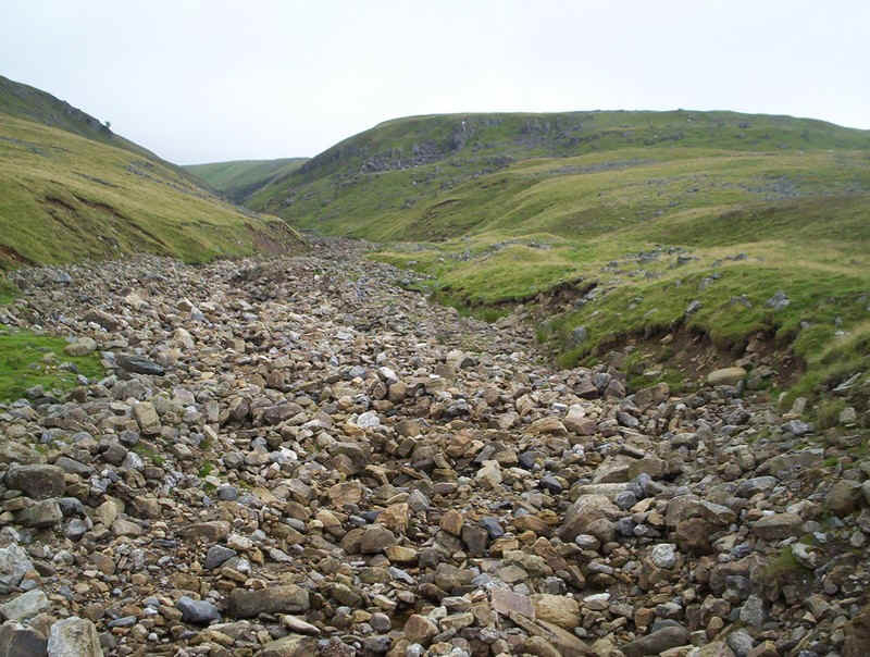
The "Corpse Road" is one of the more grueling and notorious sections of the Pennine Way, as it goes on and on and on...
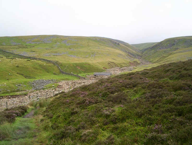
Whilst it is direct and a good pace can be maintained, much of it is made up of rough stones, which gives uncomfortable walking. However, for much of the way it is possible to walk along the grass verges. At first the track is very rough....
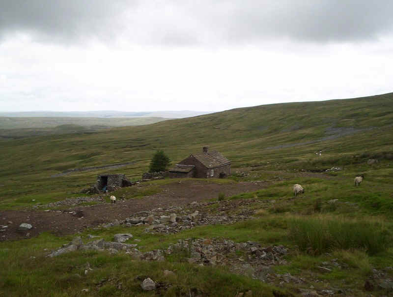
...as it leads to the bothy at Greg's Hut.
 |
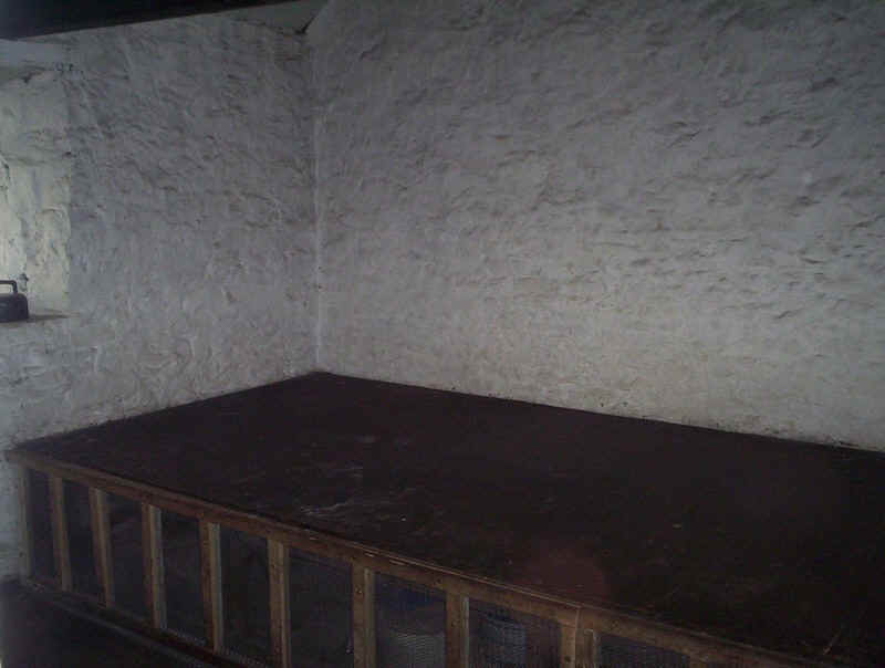 |
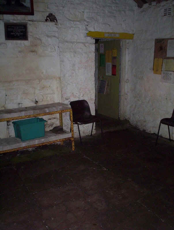
A quick look inside gives an idea of the "facilities". It was clean and there was a stock of wood for the fire. The sleeping platform in the second room could be useful if stranded here.
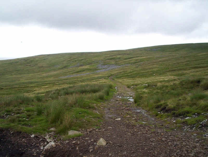
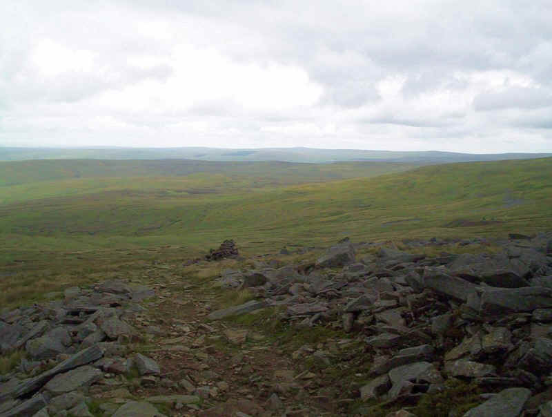
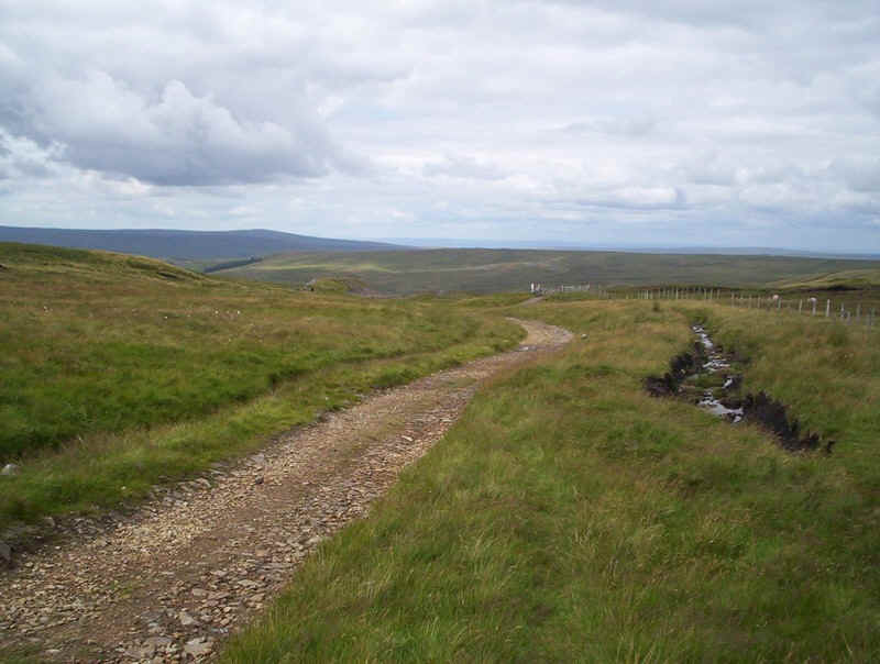
Beyond the hut, the "Corpse Road" improves but, for the next two hours, it is simply a matter of marching as quickly as the feet allow down to Garrigill. Luckily, the afternoon was very pleasant, but I remember walking both ways in rain and mist the first time I climbed Cross Fell, and that was hell....
Nevertheless, even in good weather, those two hours are a little monotonous so, to reflect this, there follows a series of photos!
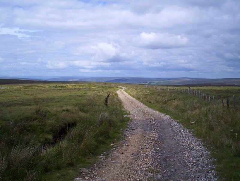
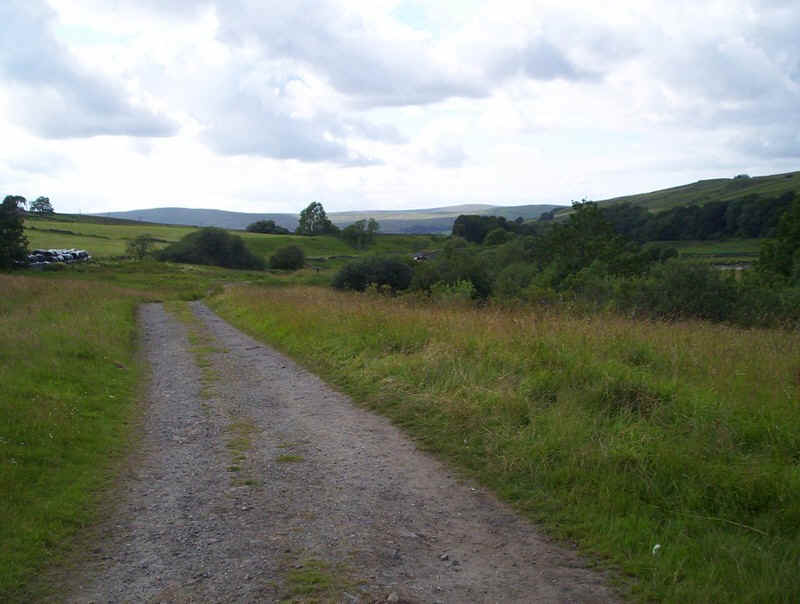
The wide open spaces looking north from the track near Greg's Hut. Click on the photo for a larger panorama.
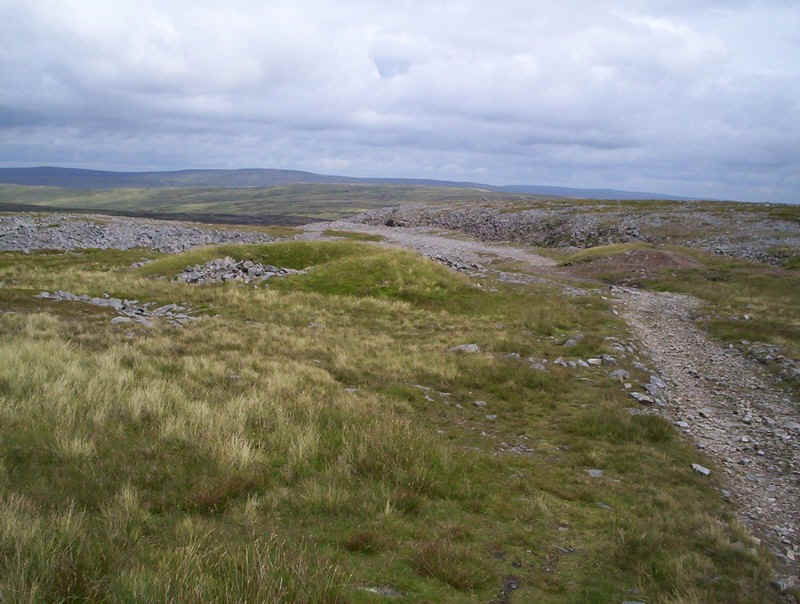
The "road" was built, originally, to serve the various mines along its length and there is frequent evidence of old workings.
The course of the track can be traced from right to left across the moor.
Onwards.....
A look back, reveals the flat summit of Cross Fell bathed in sunlight.
The track becomes slightly less rough the closer you get to Garrigill, as it's clearly used as a grouse-shooting access road.
It is possible to take a short cut down across the hillside here, but the PW marches along relentless along the "Corpse Road". No cheating!
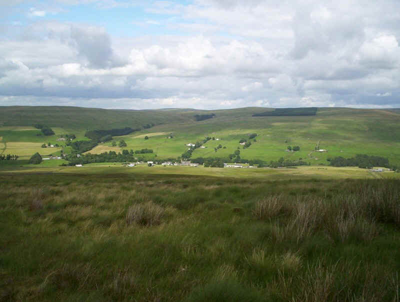
The first view of civilisation, with Garrigill down in the Upper Tyne valley.
The "Corpse Road" now performs a series of zigzags down into the valley.
Shortly, the PW will be down among those trees in the valley.
In the meantime, more straight sections followed...
....by bends...
....and still not at Garrigill!
Nearly there, and time for a snack.
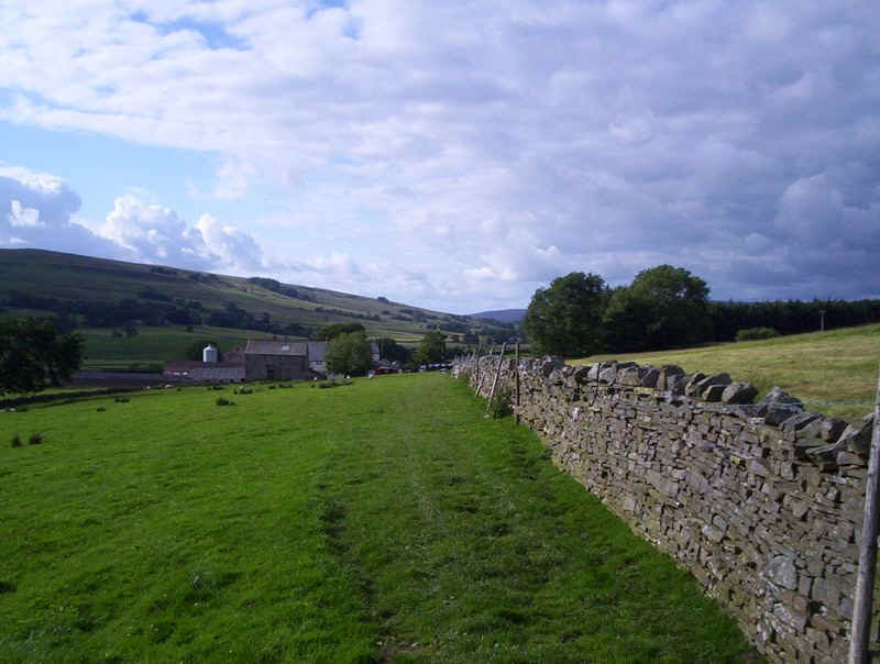
Garrigill is a pleasant village, sprawled out along the road...
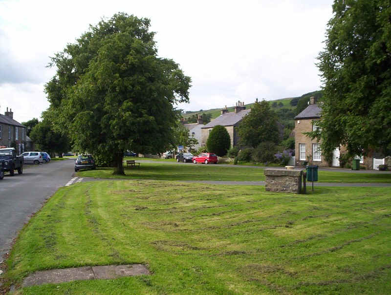
.....with a well maintained green but, sadly, a boarded up pub.
There's a short section of road to walk along....
.....before the PW heads down this lane towards a scrap yard. Across the path was an enormous area of nettles so a detour up a slag heap was necessary to avoid it.
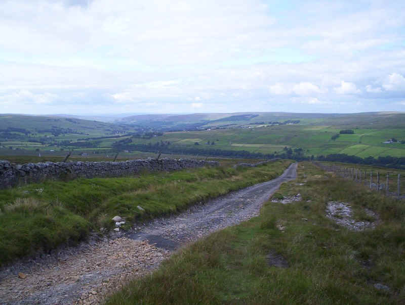
Once beyond this obstacle, the PW follows the River South Tyne towards Alston.
At first the river can't be seen clearly....
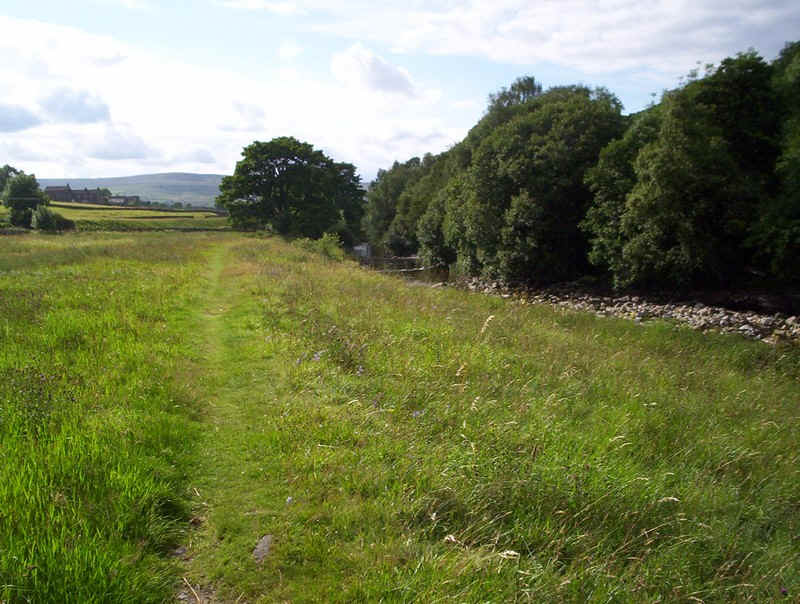
.....but it's just over to the right through the trees.
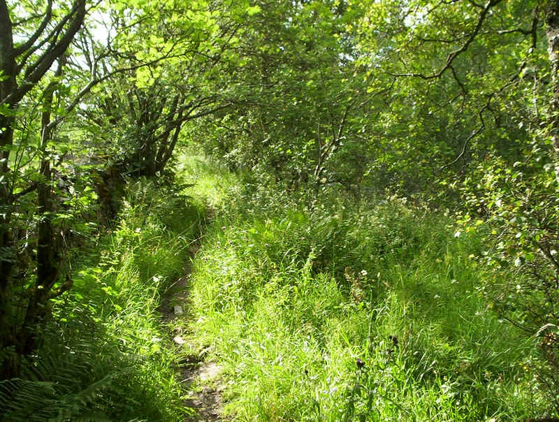
In places the path is very narrow and almost overgrown.
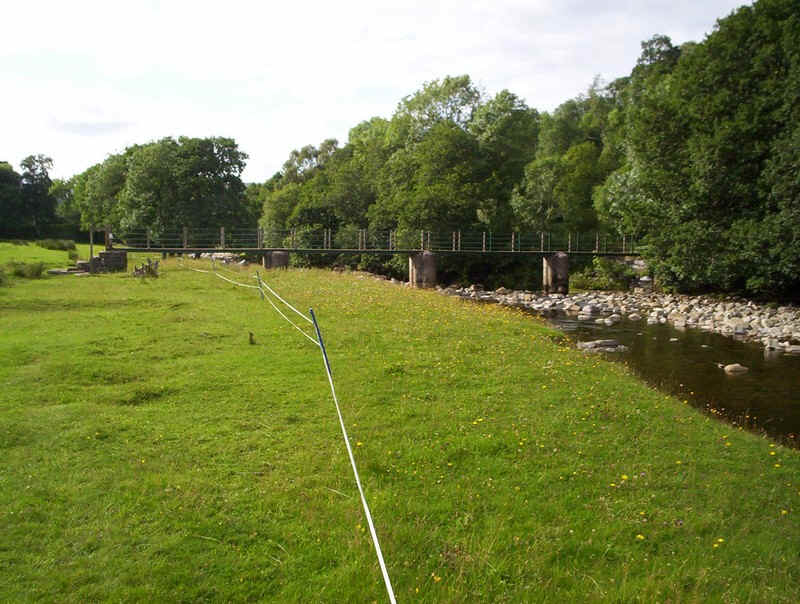
After a short distance, the path crosses the river at this bridge...
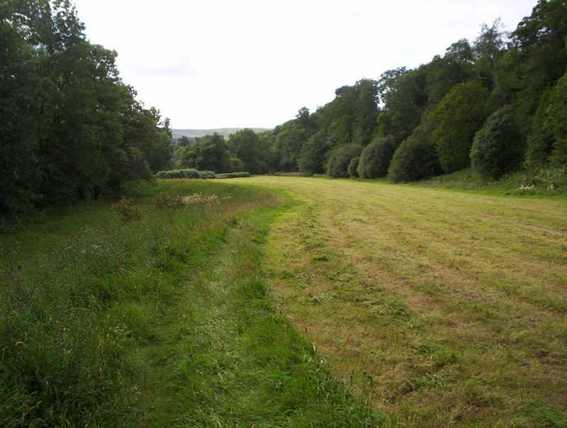
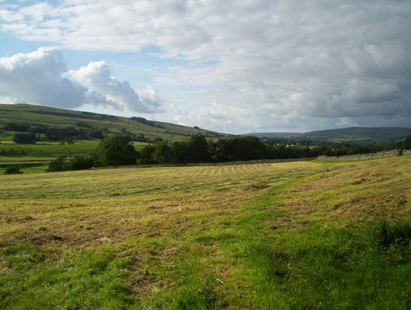
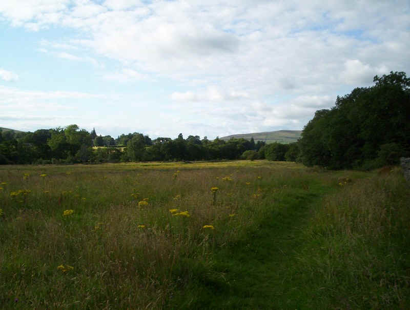
.....and heads through hayfields....
....along tracks...
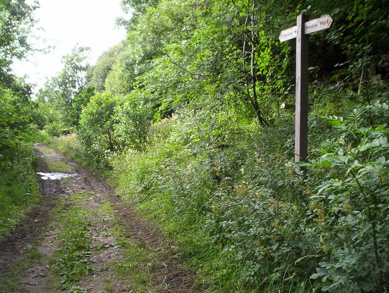
.....with careful navigation being required to avoid missing path junctions.
More fields to be skirted...
....and then a climb out of the valley.
.....through gaps in walls...
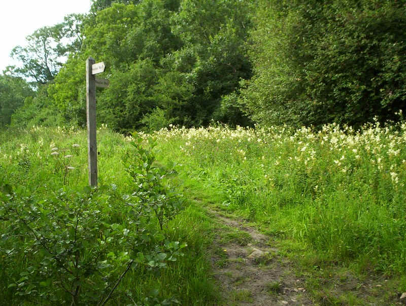
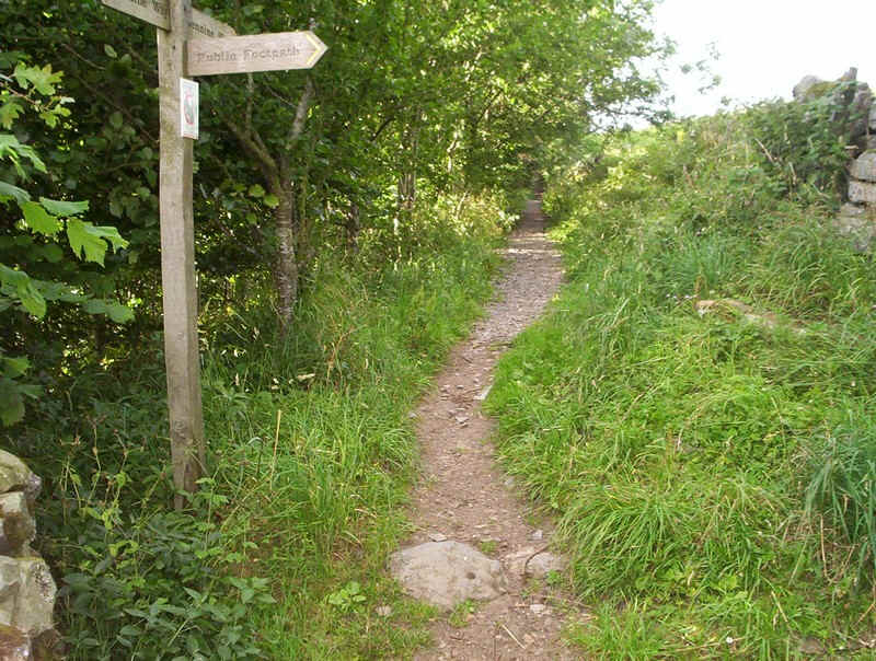
....but at least the signposts are there.
Then it's out onto the hillside....
.....with a glance back to the higher hills.
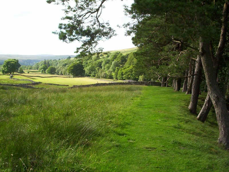
There now follows a whole series of fields to be negotiated past Bleagate Farm...
....and in places it's not quite obvious where to go.
Ah! there's a stile in this corner; not quite where the signpost suggested!
Marching on across the meadows, the PW goes from stile to stile...
.....sometimes indistinct and sometimes very clear....
....until this bridge...
....and across the meadow to
...a stile almost hidden under tress.
At last, the outskirts of Alston are reached..
.....and then a prepared footpath leads....
.....up to the road. There's a PW sign on the corner almost hidden by nettles. This is the end of this stage of the walk.....
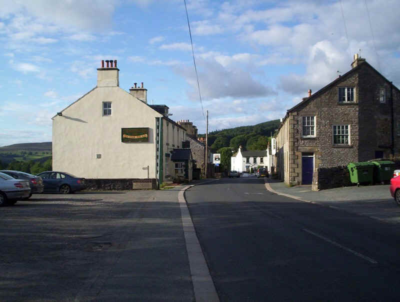
....and it's just a short walk up into Alston and the Cumberland Inn. It had take me exactly 9 hours from Dufton to reach Alston.
It was an excellent day's walk, although my blister was clearly going to cause me a problem with the next day's walk.