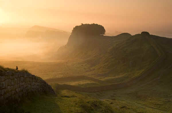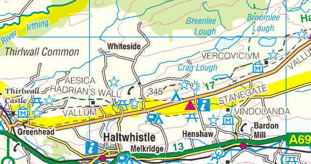
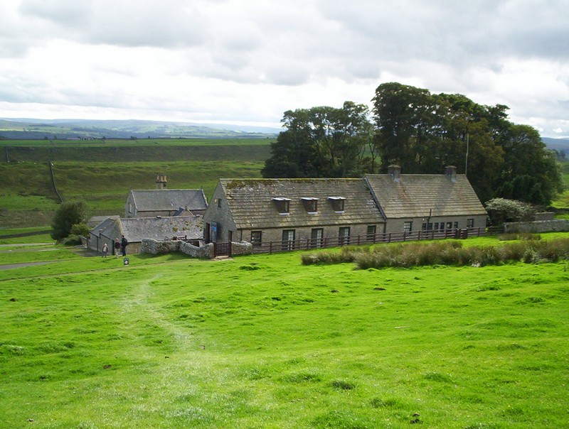
Greenhead to Rapishaw Gap (and Housesteads)
The way points on this map are taken from my GPS Spot tracker.
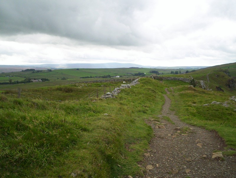
I decided to split the long Greenhead to Bellingham (pronounced Belling-jam) section into two sections; Greenhead to the Rapishaw Gap and Rapishaw Gap to Bellingham.
Using public transport, it is easy to reach Greenhead from Haltwhistle station, whilst the Rapishaw Gap is only a short walk from Housesteads Roman fort. Between April and the end of October there is a good bus service from either Hexham or Haltwhistle; the AD122 Hadrian's Wall service. There's also a reasonably frequent service to Bellingham from Hexham.
I'd already heard, several times, from other
PW walkers that I'd met of the "horrors" of this section of the walk
with the continual ascents and descents along the Roman Wall path. In the nine
miles from Greenhead to the Rapishaw Gap, where the PW leaves the wall, there
are over 400m of, frequently, very steep ascent and a similar amount of descent.
Easy, this section certainly isn't.
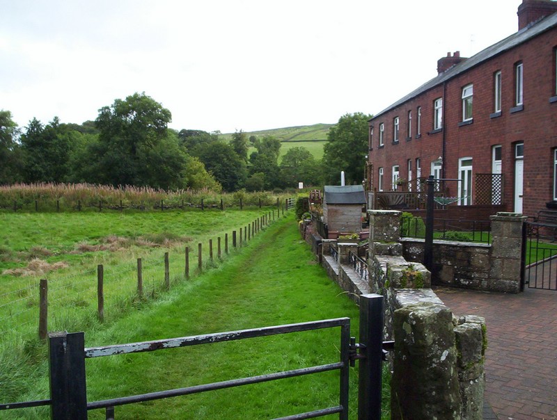
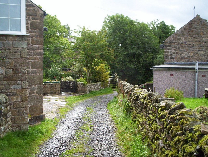
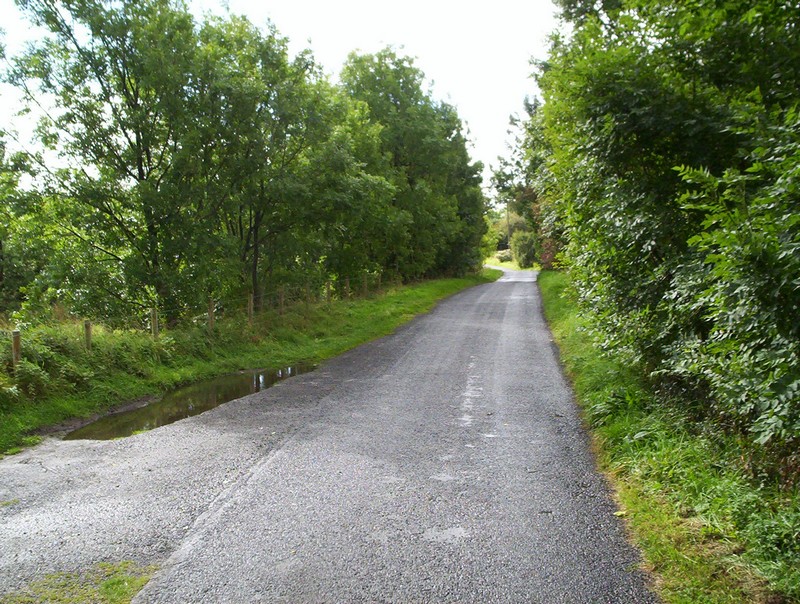
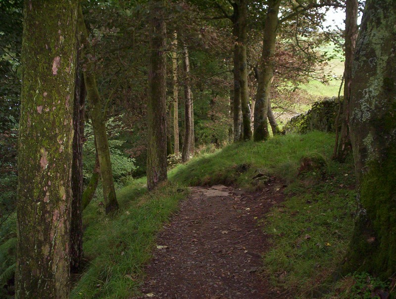
The Pennine Way leaves the outskirts of Greenhead past this row of terraced houses...
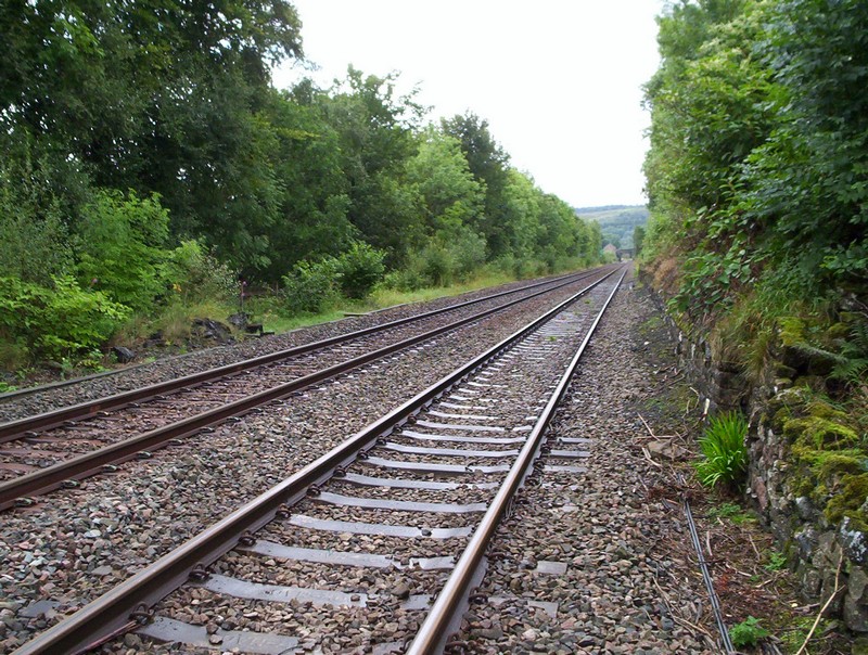
....crosses the Newcastle to Carlisle railway..
......a stream...
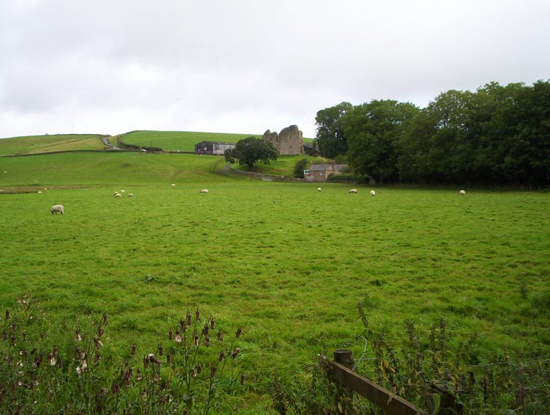
....before heading towards the ruins of Thirlwell Castle.
The path skirts the field....
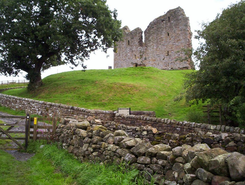
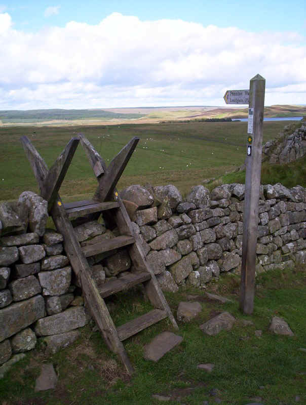
......to reach this gate near the Castle. As the Pennine Way and Hadrian's Wall Path are sharing the same route there are no specific PW signposts, but the signposts shown the message "National Trails" or the acorn sign. It wasn't immediately obvious but the path turns right here....
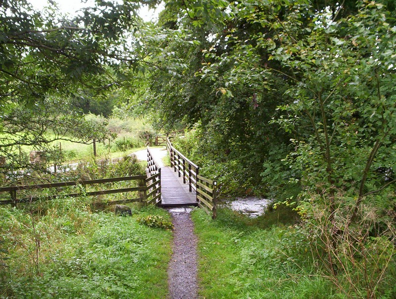
.....down to a bridge...
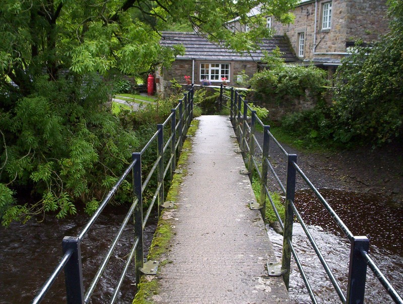
.....across a stream..
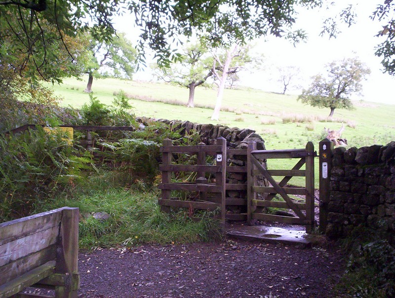
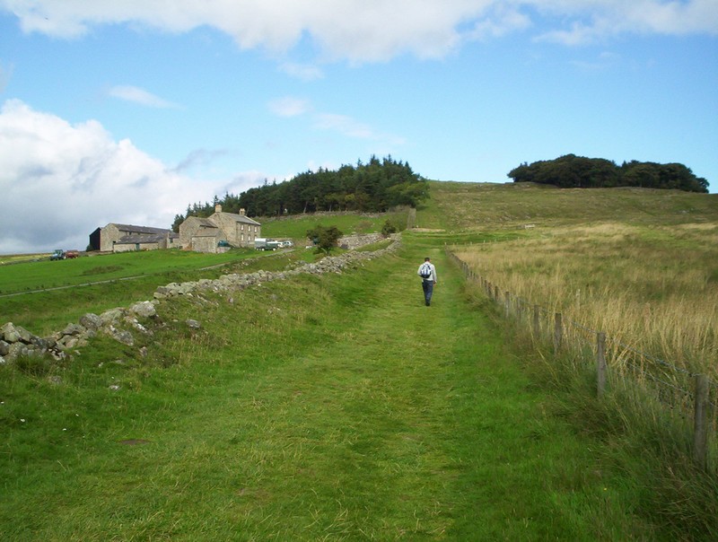
....and once past the houses a track leads uphill....
.....before turning sharply to reach this gate at the enclosure wall.
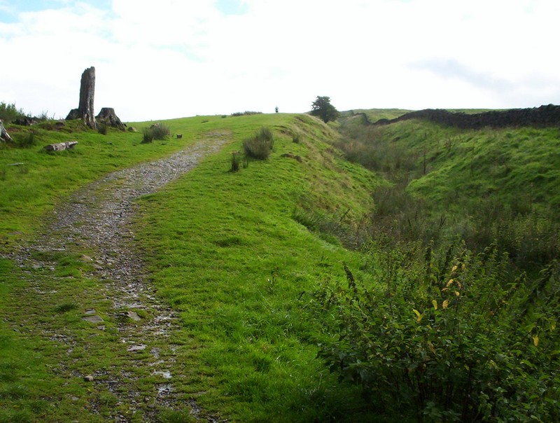
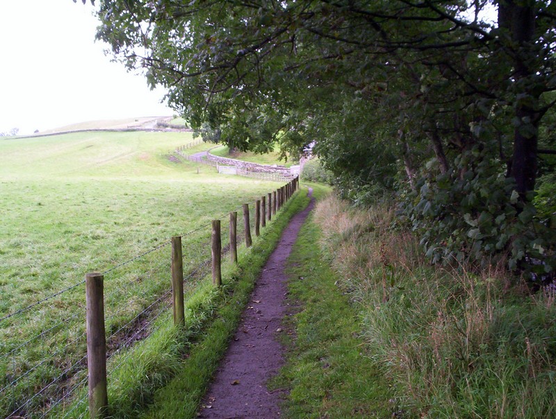
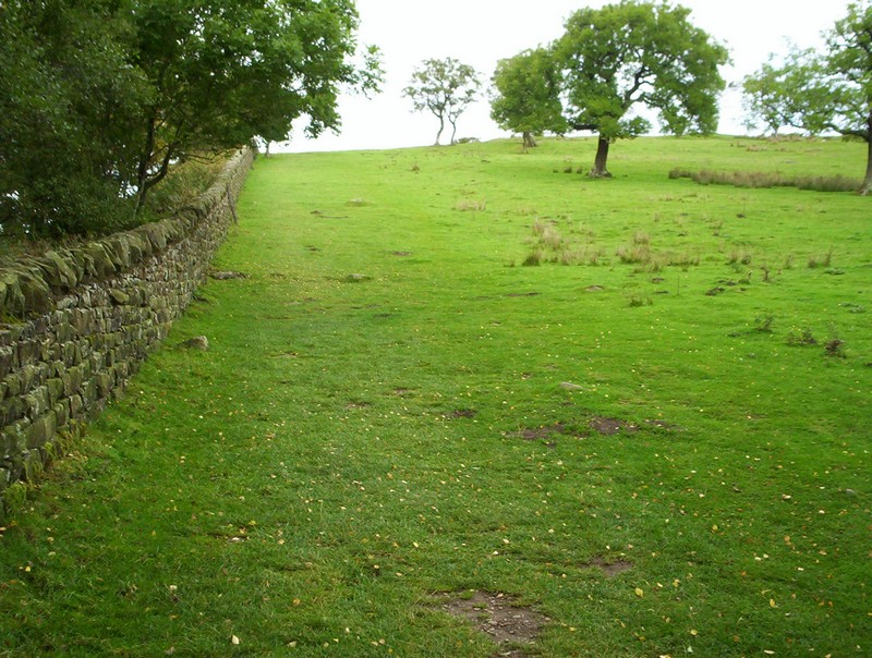
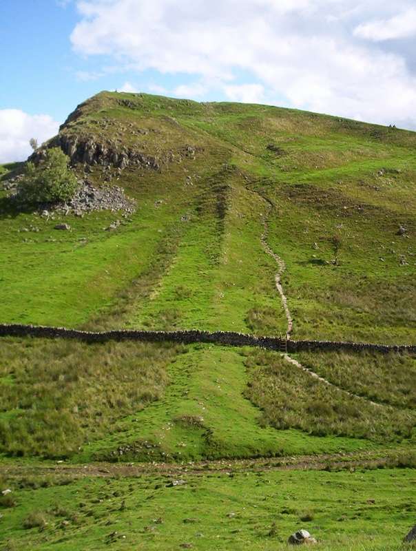
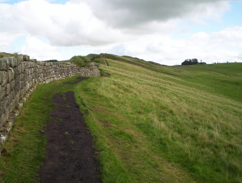
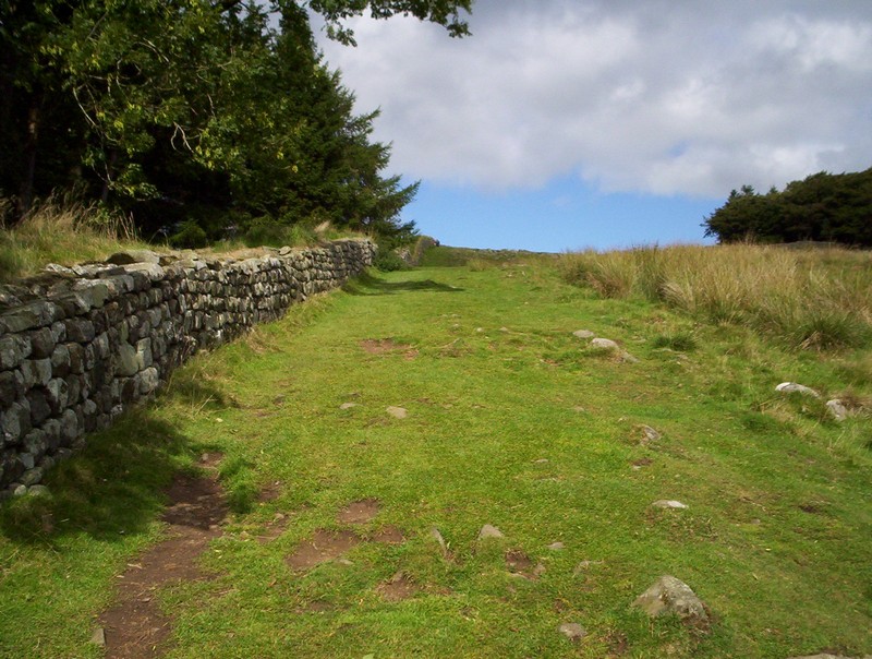
Once on the open moor the path follows the line of the Roman ditch.
It's a gentle climb.....

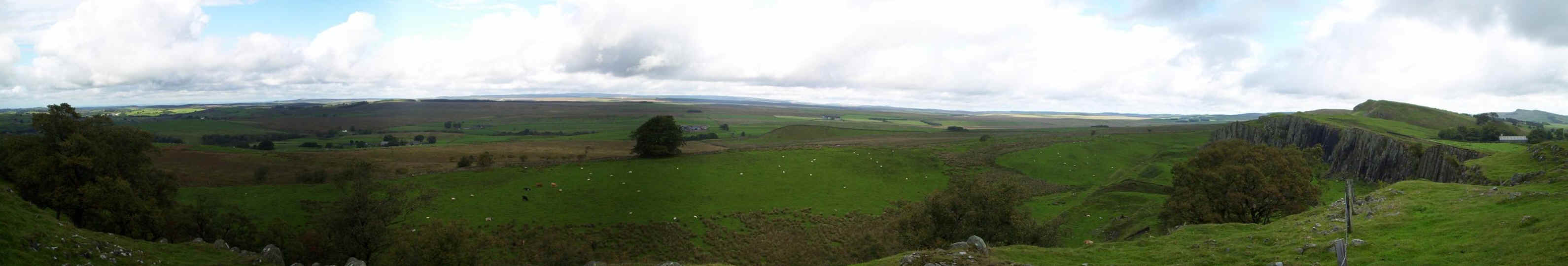
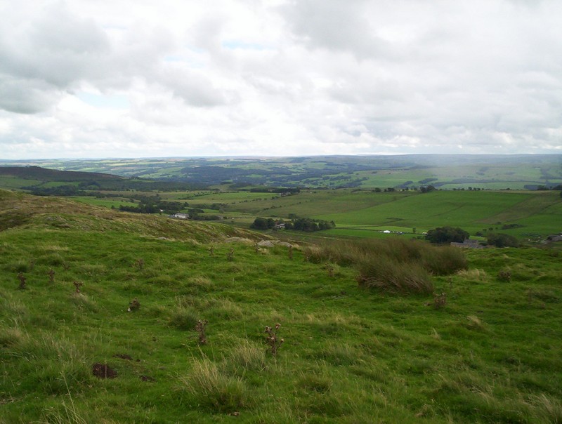
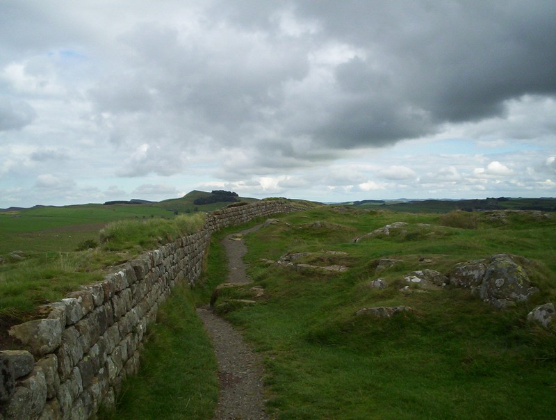
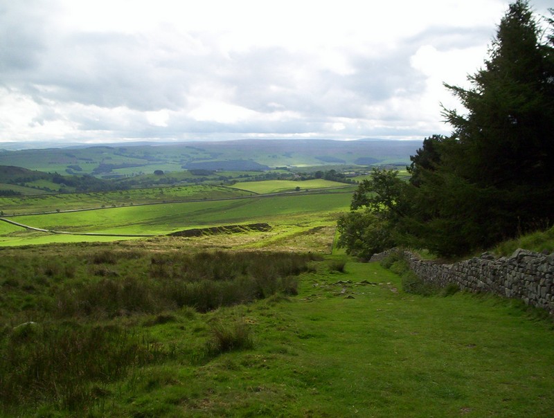
......but don't forget to see this panorama looking westwards, with the hills of Galloway to the right in the distance. Later in the walk as height is gained it's possible to see the Solway Firth. Click on the photo for a larger image.
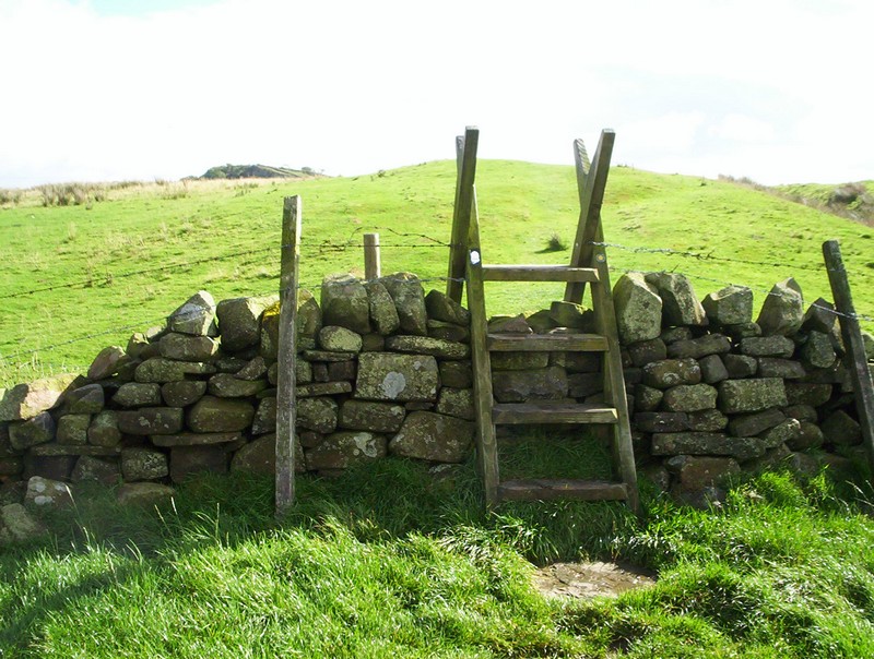
Eventually Walltown Crags can be seen peeping over the ridge as the first of many stiles is crossed.
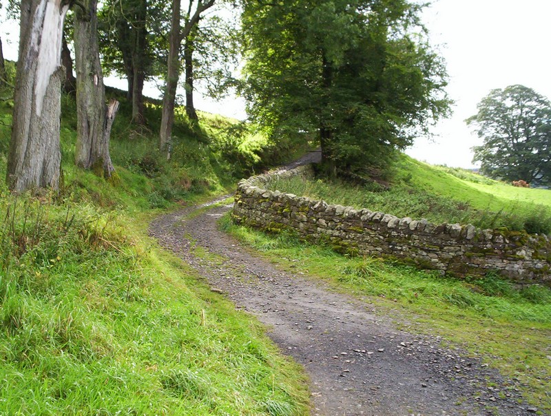
The path drops slightly to this lane....
......which is followed to a car park,.....
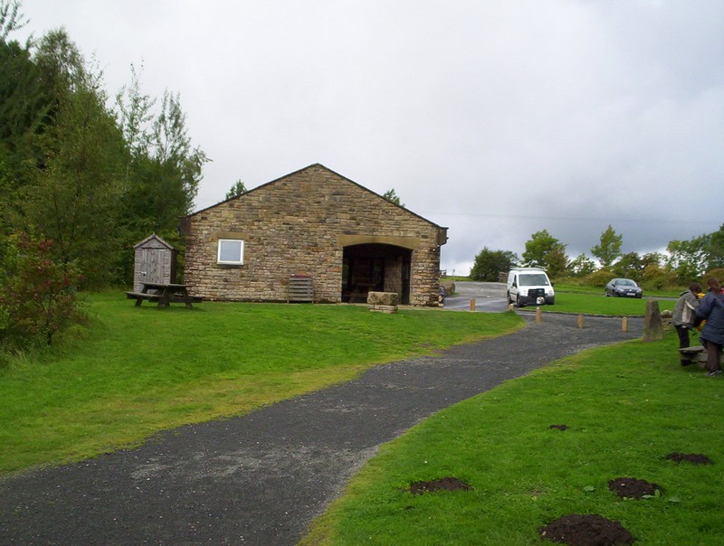
......with a cafe and toilets at the Walltown car park near the roman Army Museum.
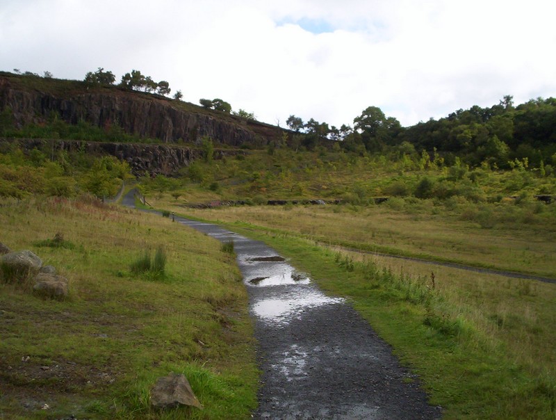
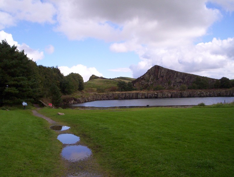
Leaving the car park this track is followed...
.....round the lake formed in the former Walltown quarry.
The path now heads towards a wooded area....
......passes through a kissing gate and turns...
......sharply uphill by the wall...
......where the first glimpse of the Roman wall itself appears.
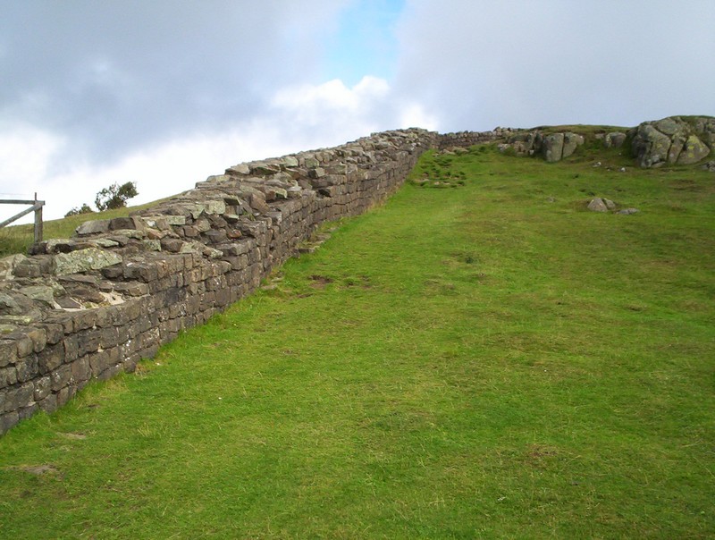
Another sharp turn and it's uphill...
.......by this well preserved section of wall.
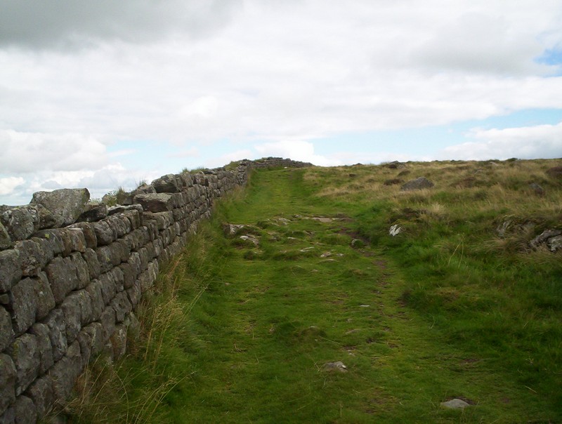
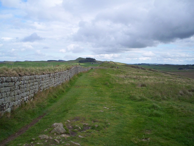
The path itself is surprisingly indistinct at times but always follows the wall or the top of the ridge.
The first of the many remains of buildings is Turret 45A....
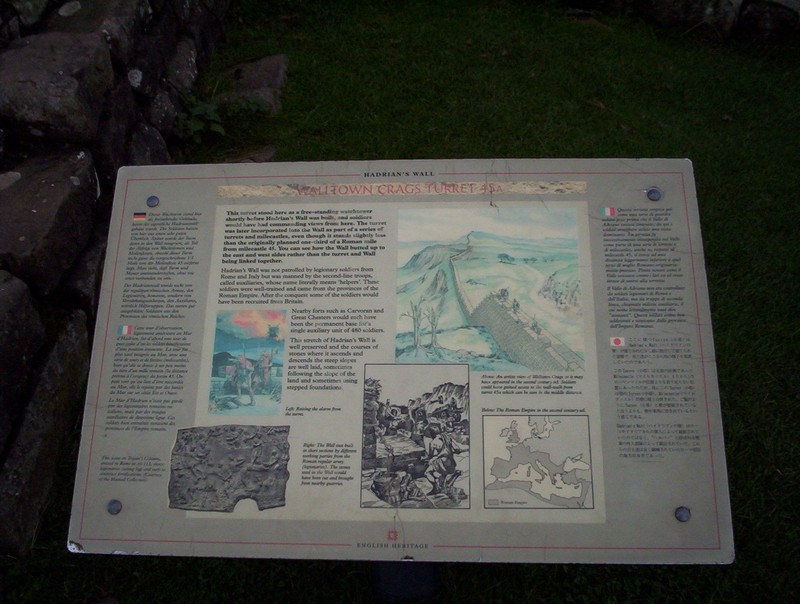
......complete with detailed information with those with time to read it!
Looking north this is the view that the Roman soldiers would have had. The image can be enlarged by clicking on the photo.
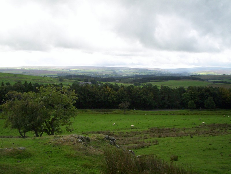
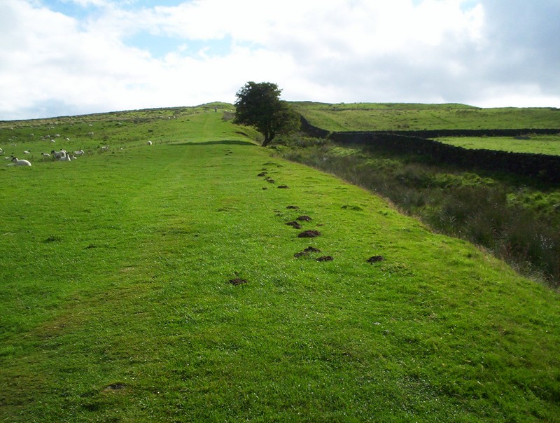
Every so often I kept glancing back for another view of the Pennines.
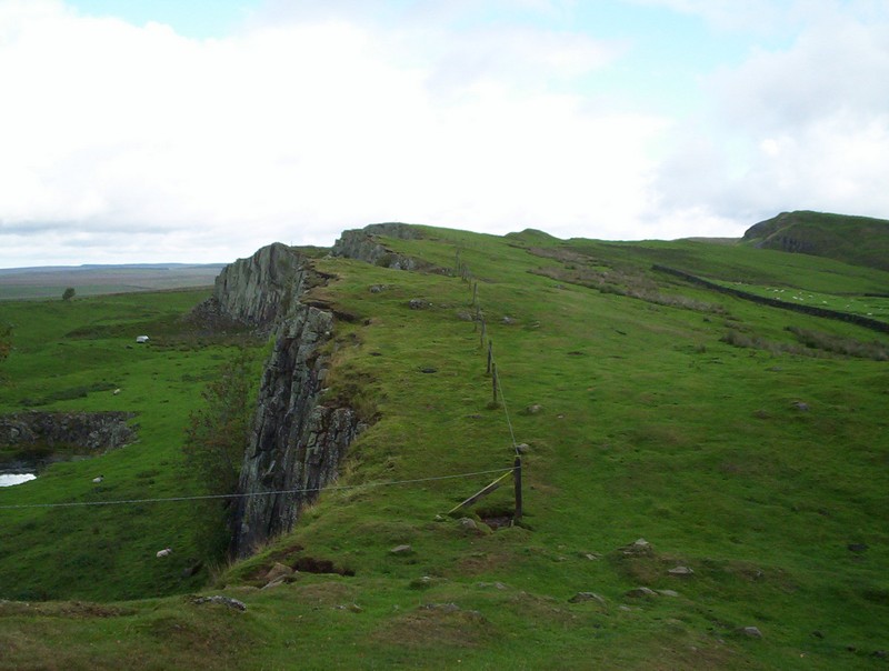
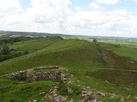
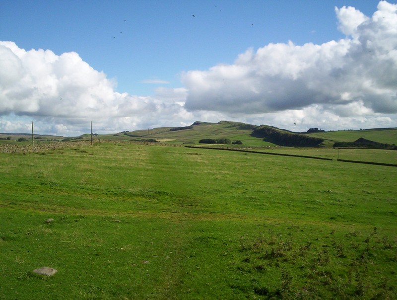
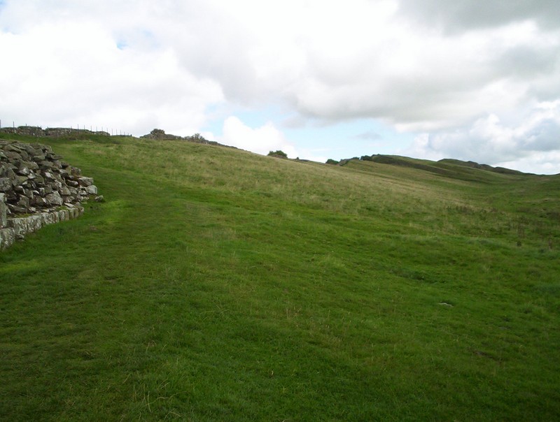
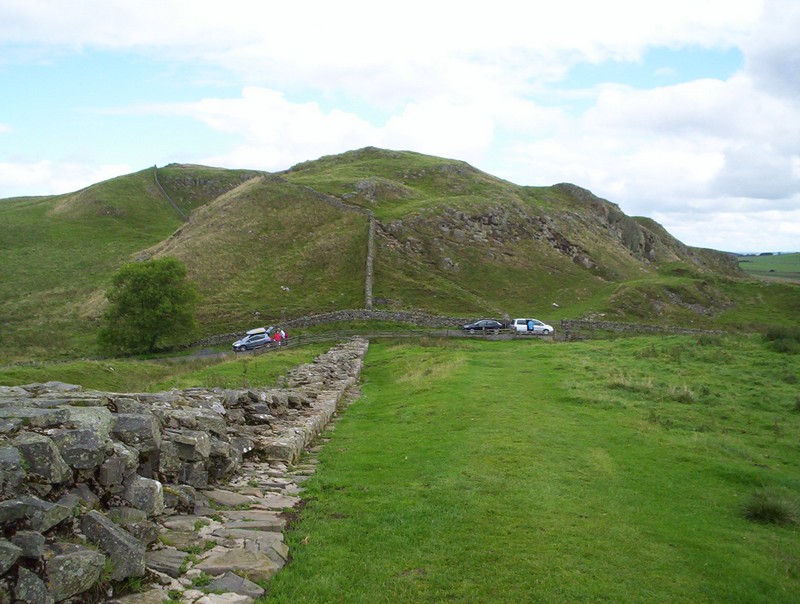
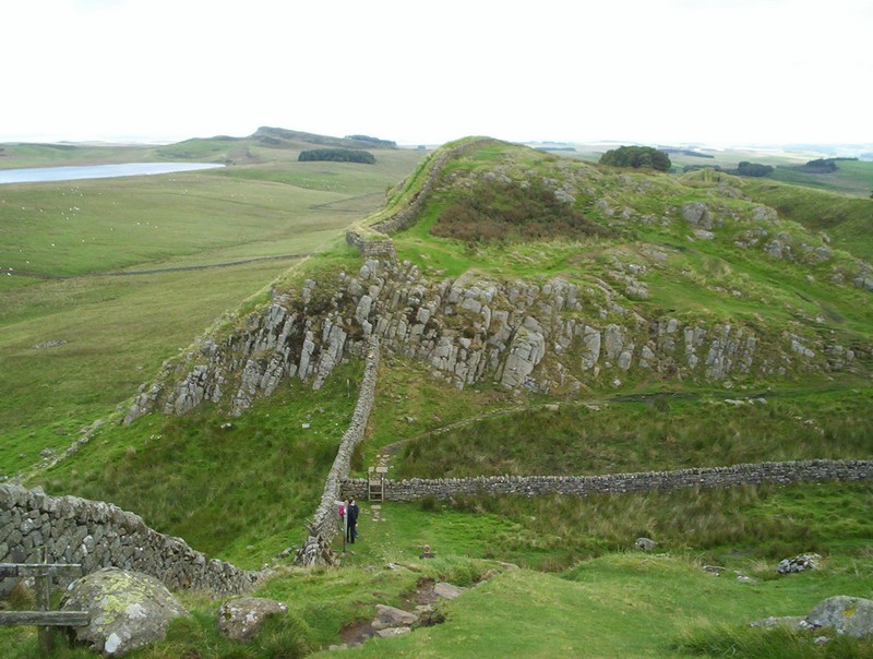
The next section follows the ridge above Walltown Crags.

.....which undulates across the hillside.
Near Walltown Farm there's the first of several steep drops, followed by an equally steep ascent. Just to the left of the path are the remains of Turret 44B but I managed to miss it.
Looking WSW towards Walltown Crags over Turret
44B (taken from http://www.geograph.org.uk/
© Copyright Dave
Dunford and licensed for reuse under this Creative
Commons Licence

Once across the faint path continues....
.........along the wall-less ridge.....
.....before dropping down to a wall with a stile. The path then continues towards the trees....
......and crosses another wall to follow....
...the field wall downhill...
......to reach a wood.
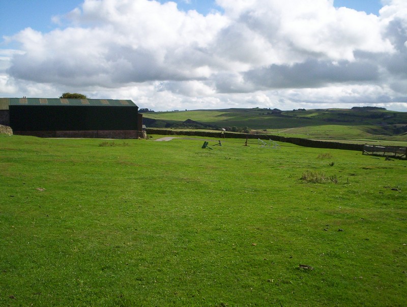
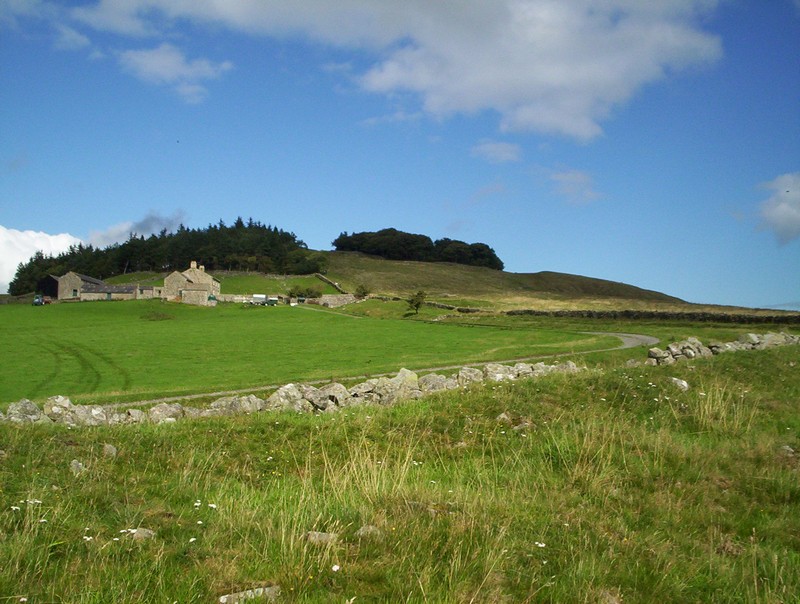
Once out of the trees the PW continues past Cockmount Hill Farm and across pasture....
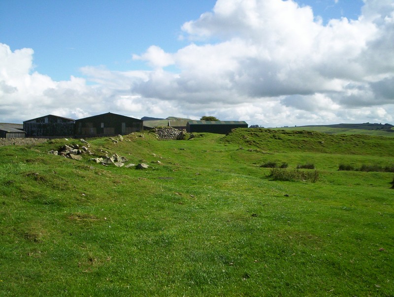
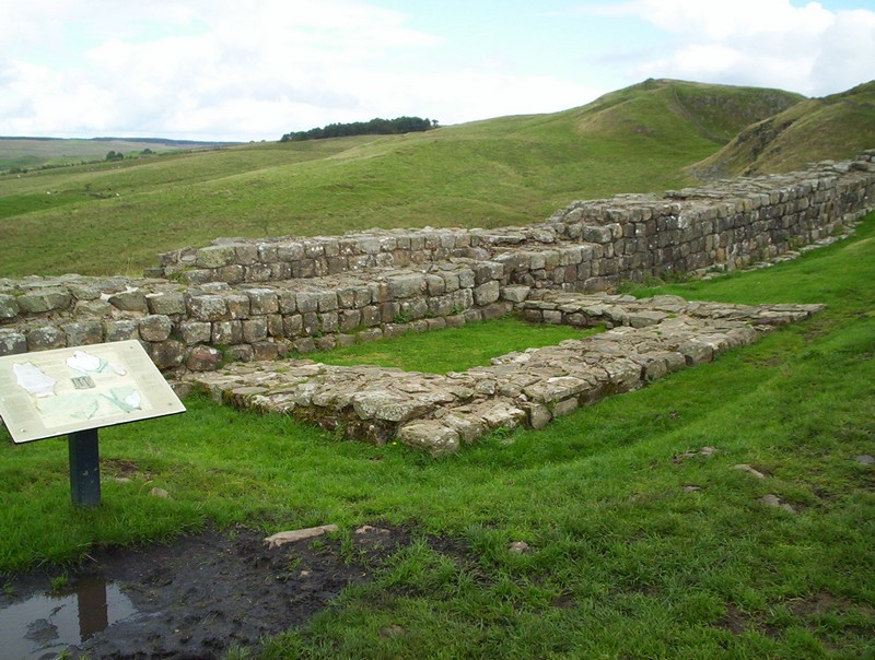
......to reach Great Chesters Farm and the Roman Fort of Aesica.
The remains are just a few of the foundations of the walls and hummocks in the field.
The path is non existent but there's a stile in the wall beyond the farm...
......and more meadows,...

....another stile...

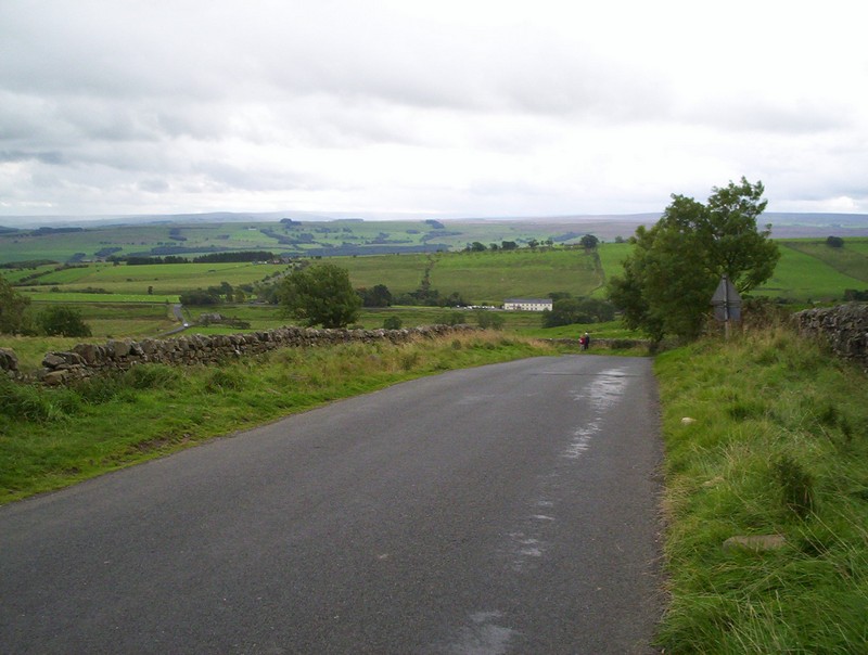
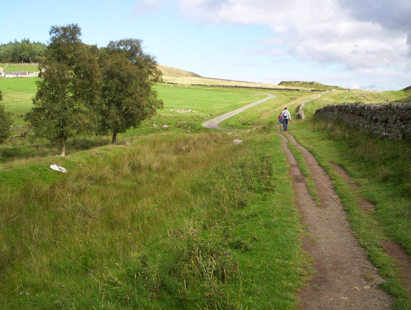
......and, finally, the path drops down to a road at Burnhead.
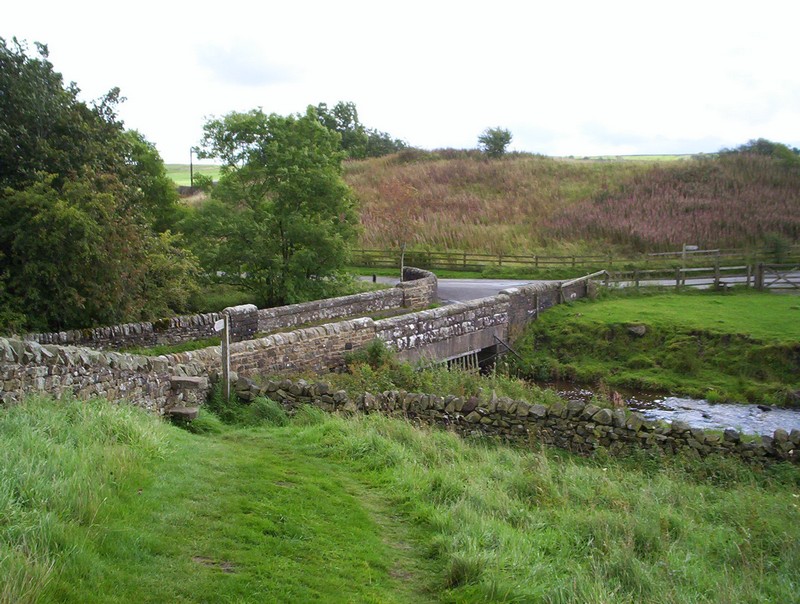
After crossing the bridge and turning left....
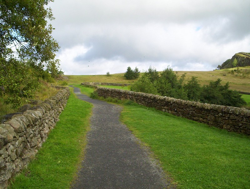
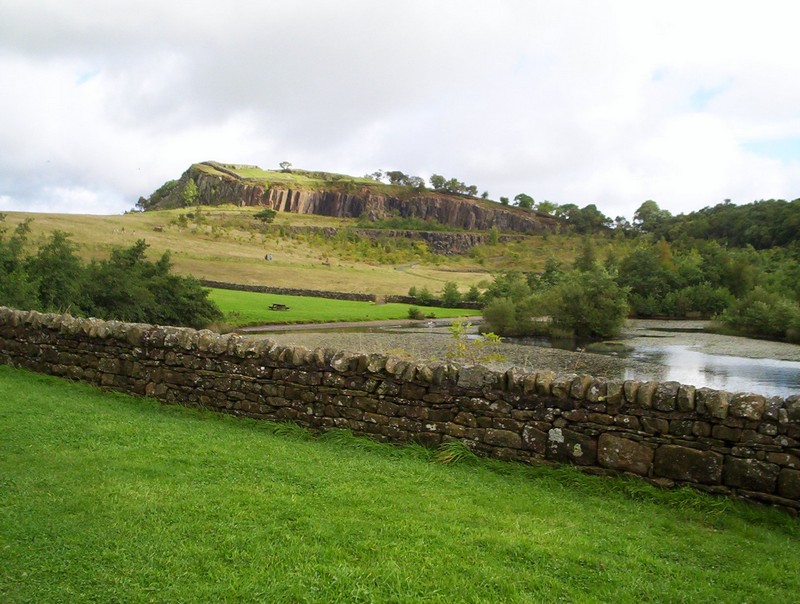
......passing through Burnhead car park (and toilets) the Pennine Way path heads on past another flooded quarry...
.......to head uphill towards the most dramatic part of the Roman wall.....
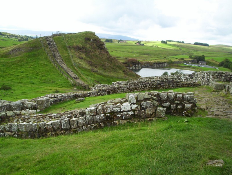
....which has been restored; here is Mile Castle 42.
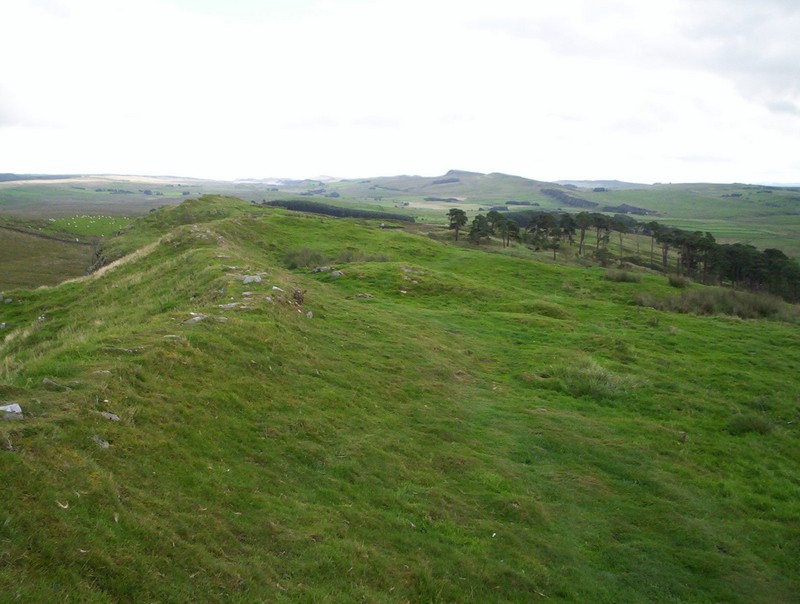
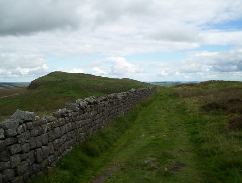
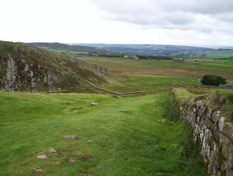
Beyond the wall stretches into the distance as it rises and falls.
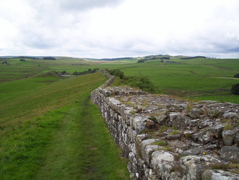
Looking back towards the west.
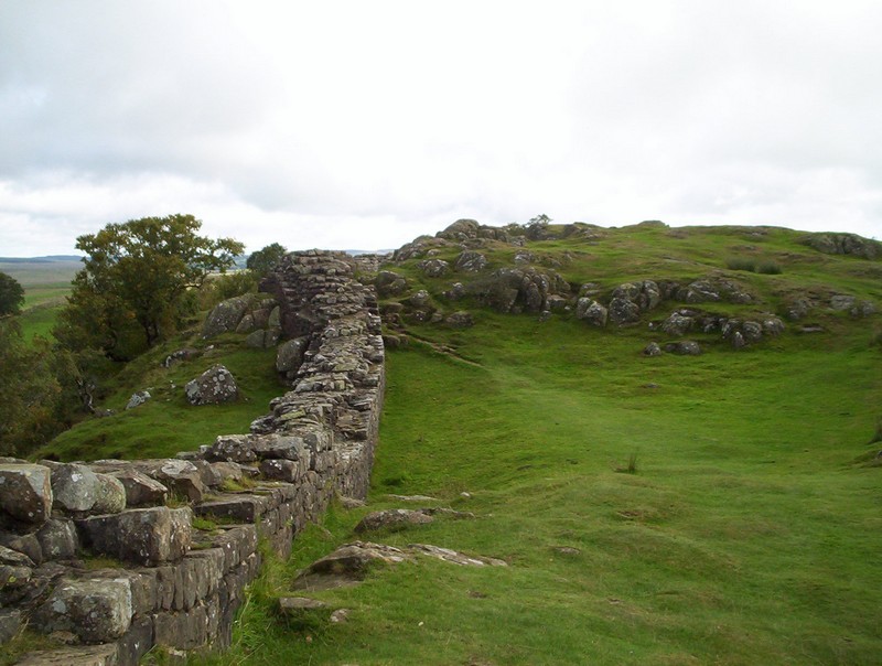
From hereon the wall is like a roller coaster as it follows the ridge line.
This view shows the steep drop to the north.
The wall continues on...
.....and on....
.....to reach the foundations of Turrte 41A.
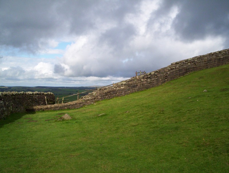
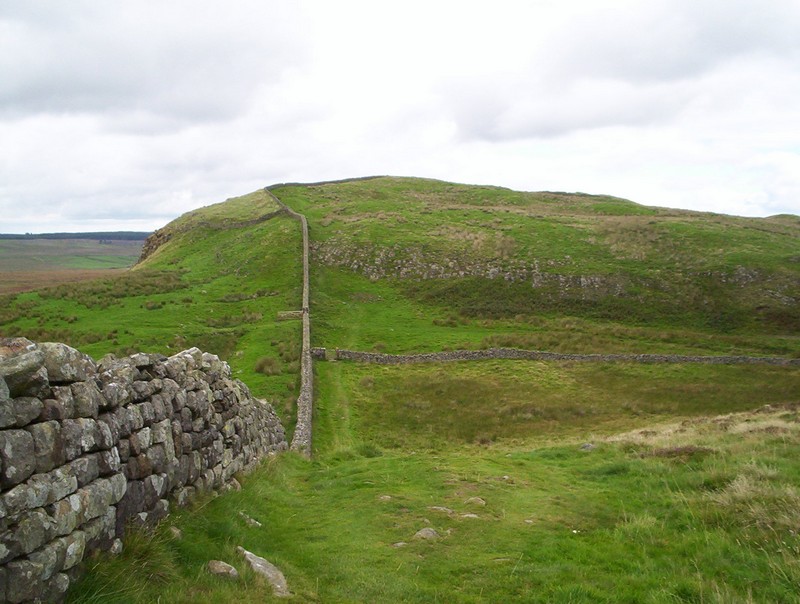
It now drops down to the Caw Gap. Over to the right is one of the many small quarries found along the line of the wall. After crossing the road the Roman Wall climbs again to the site of Mile Castle 41....
...before the Roman wall is replaced by a more modern wall, formed largely out of the original stones.
Looking back towards Caw Gap....
.......whilst in the other direction the wall continues uphill.
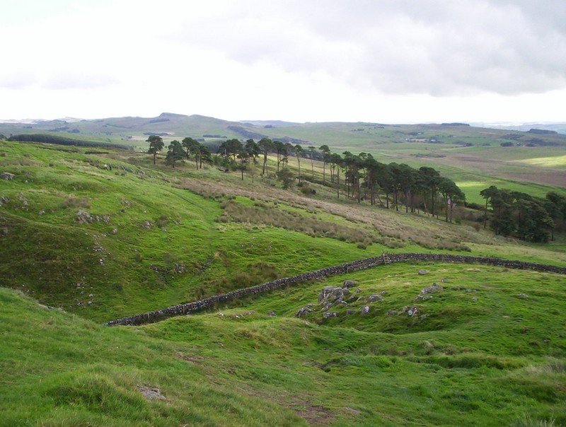
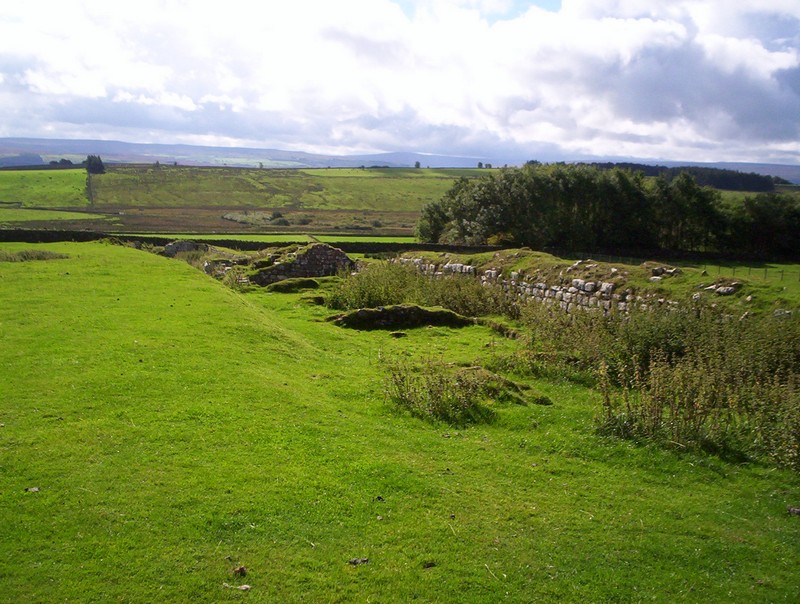
There's another section of original wall..
......before reused Roman stones form a more recent section of wall.
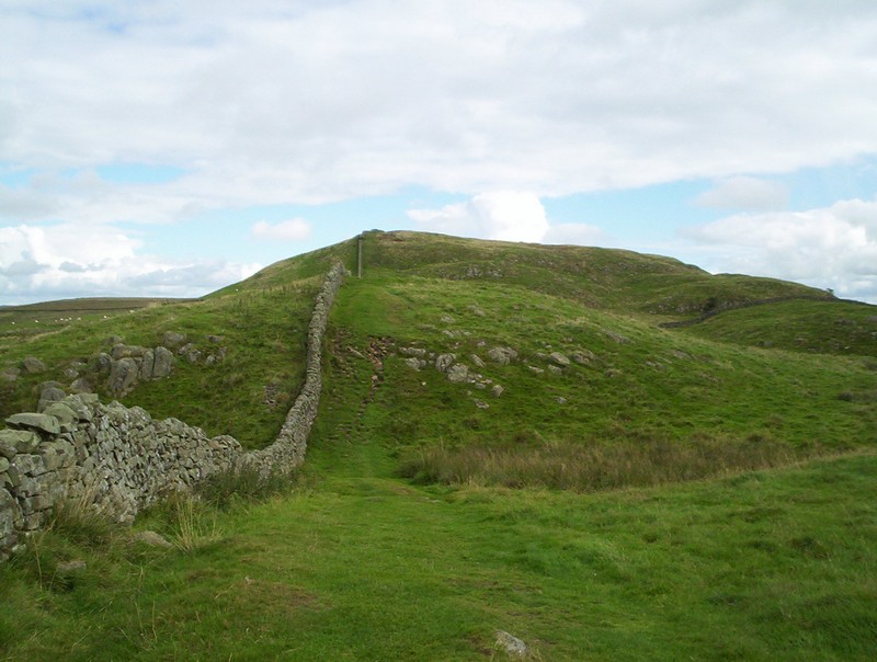
The wall drops and rise again....
......on the approach to the highest point on the wall...
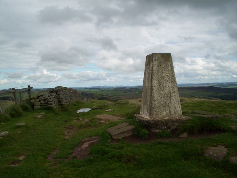
...at the trig point above Winshields Crag at 1132 feet (345m).
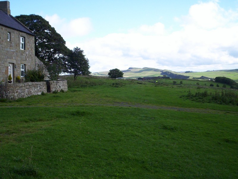
Over to the south are the youth hostel at Once brewed and the Twice Brewed Inn.
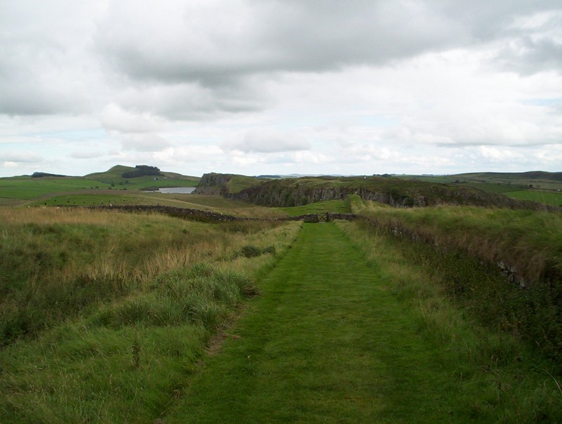
The path drops gently down to the woods near Steel Rigg. In the distance can be seen the lake at Crag Lough.

The PW crosses the wall at a stile...
.....with the Twice Brewed Inn down the lane...
......and then heads down this mown path
.....towards Peel Crags, by the side of a grass topped section of wall before turning....
........sharply downhill.....
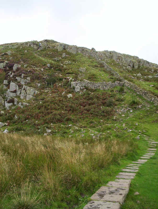
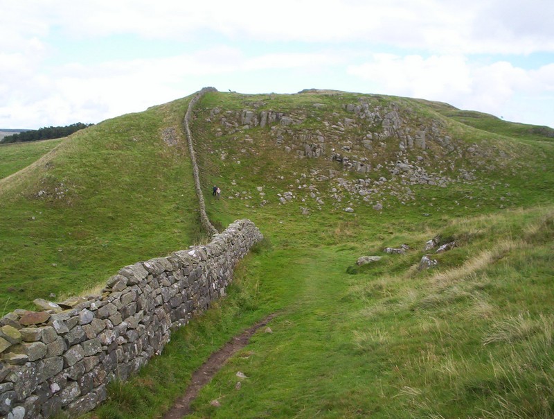
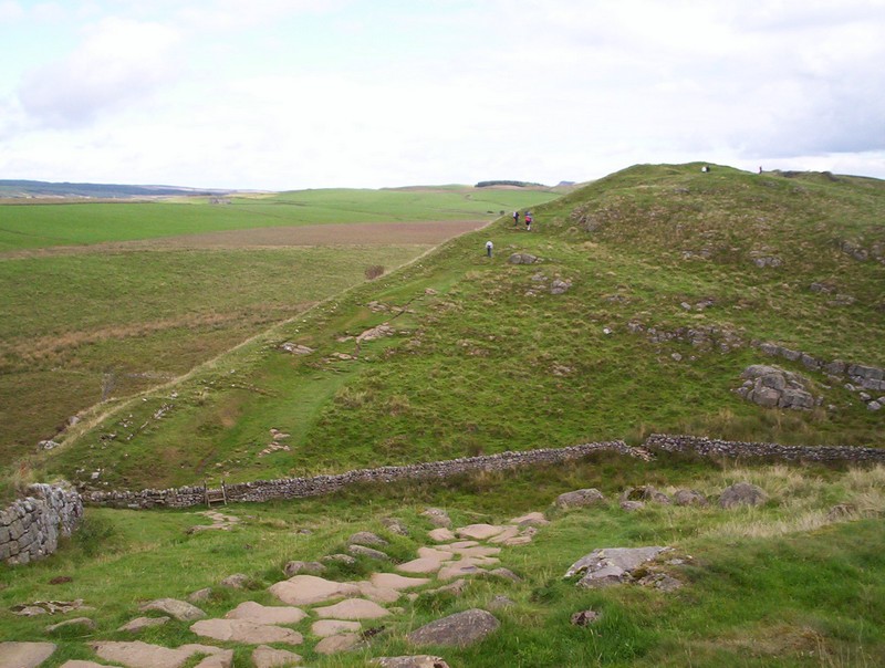
.....and, inevitably, re-ascending on a surprisingly tricky section through the crags.
Once on the top another section of wall appears, which....
......continues for some distance.
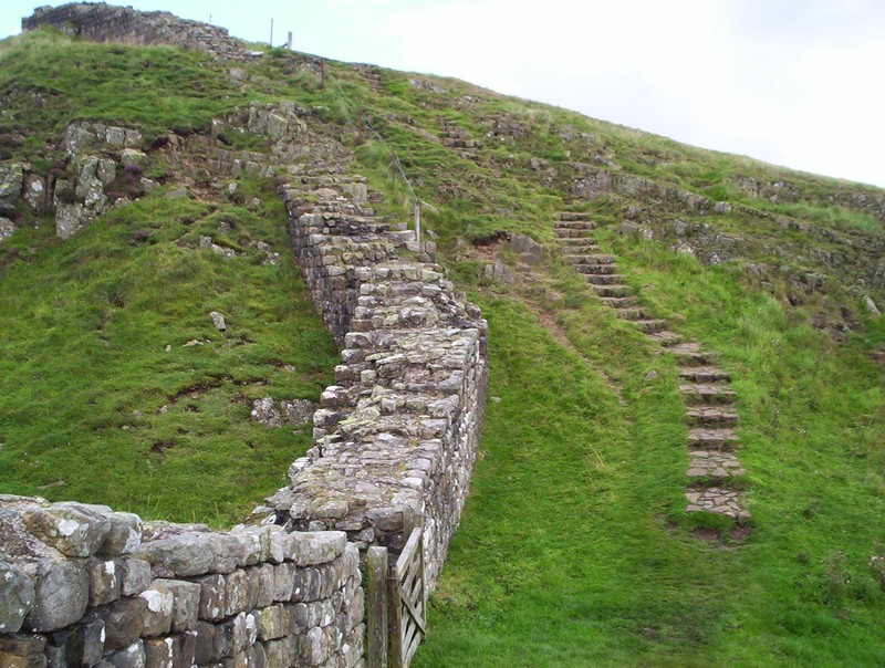
...before dropping to a wall and climbing again....
...before, once again, dropping down a staircase to reach....
.......Mile castle 39.
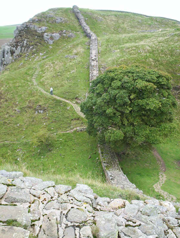
After yet another climb the path drops to this oak tree and then crosses to the northern side of the wall as it climbs up Highshield Crags.
The steep climb over the path goes over a stile and the Roman wall disappears again.
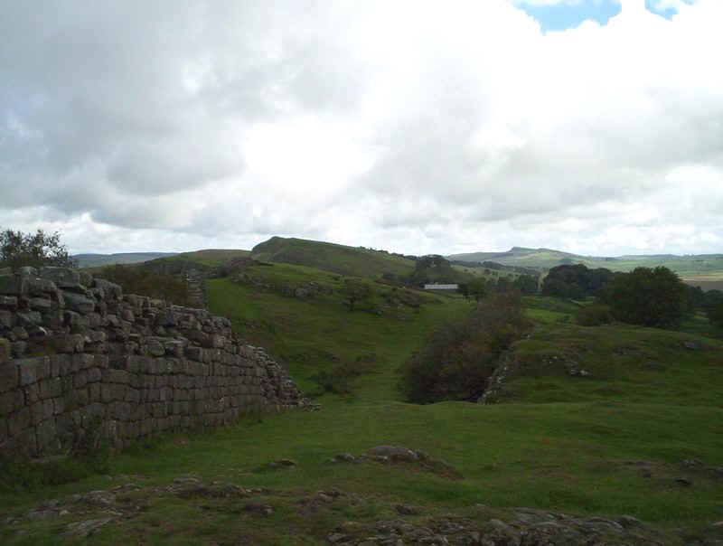
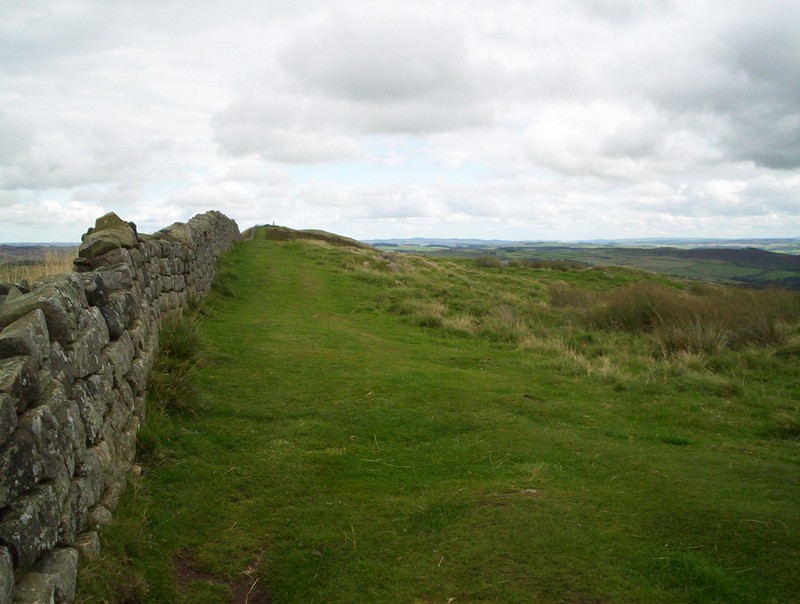
The path levels off and I take a final look back at the Pennine hills in the distance.
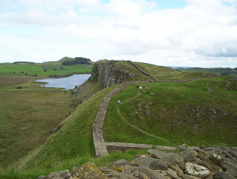
This section of the walk has dramatic views down to Crag Lough.
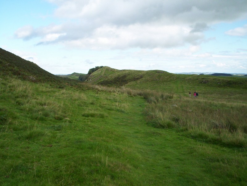
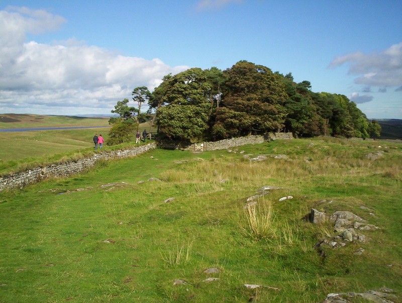
Eventually the PW begins to descend through woods.....
.....to reach the road at Milking Gap.
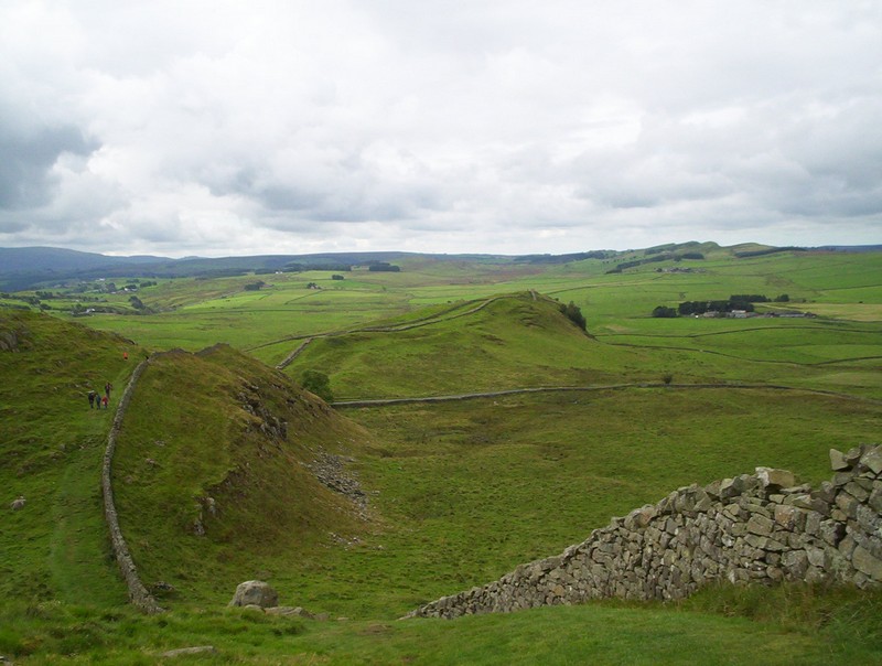
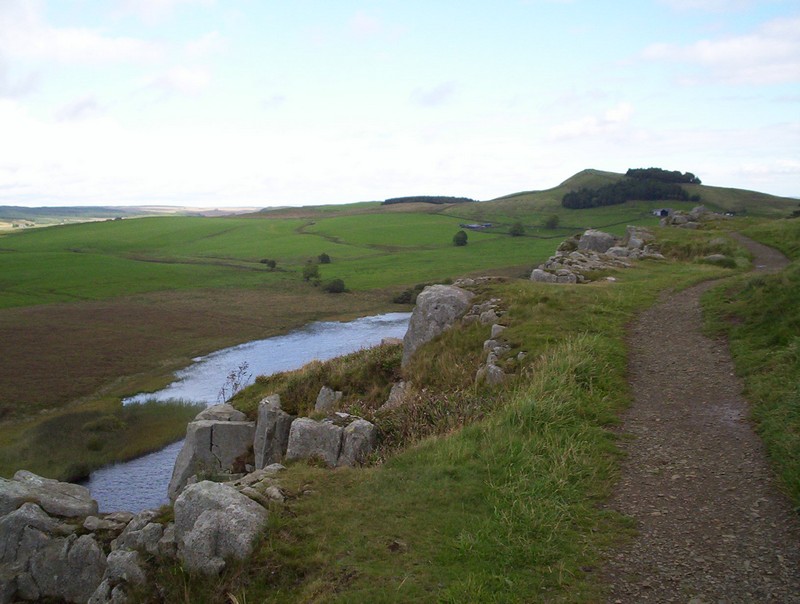
Across the field is Hotbank Farm and, at long last, the final climb along the wall.
Looking back the east end of Crag Lough can be seen.
The path is a broad one...
...as another section of Roman wall is reached.
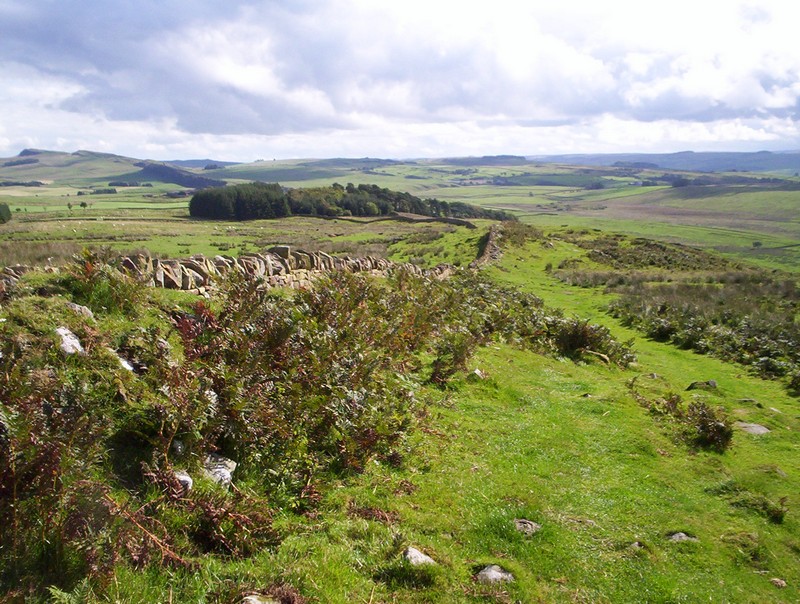
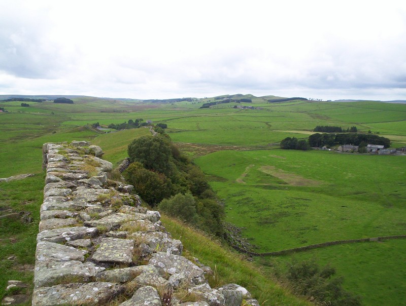
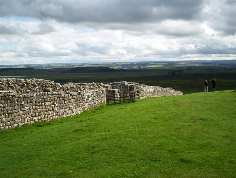
Looking back across the Tyne Valley,
....whilst higher up there's a good view of the way the path has come above the lough.
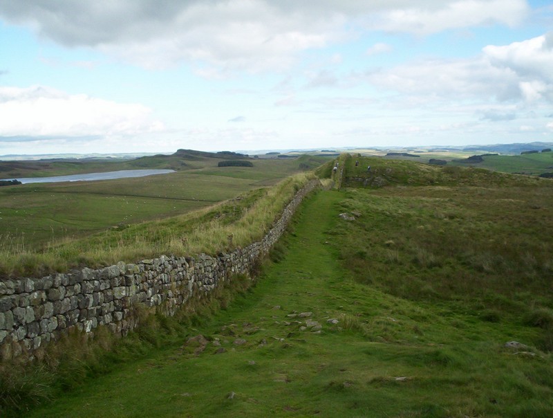
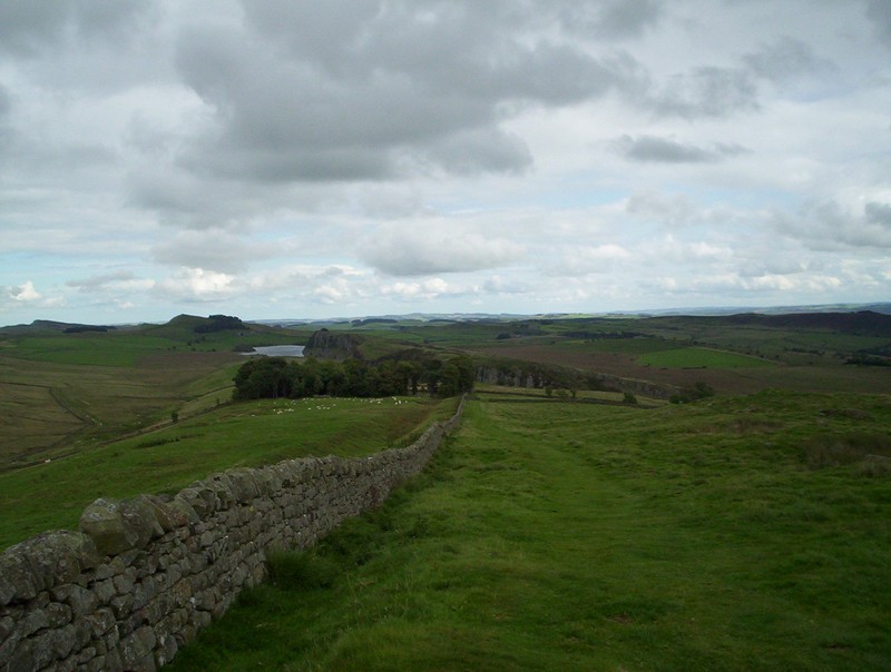
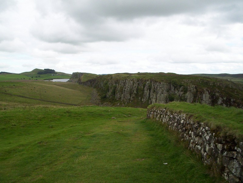
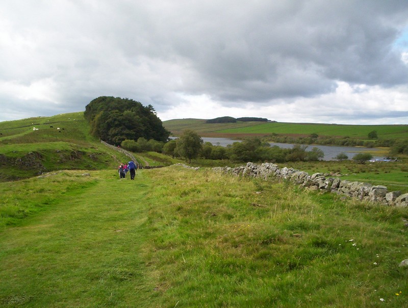
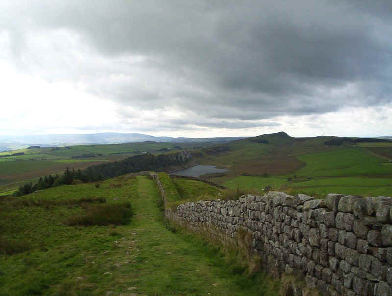
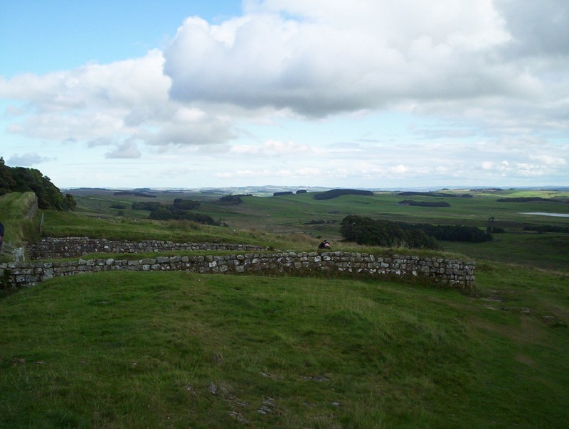
The wall marches on in a straight line with Broomlee Lough over to the north-east.
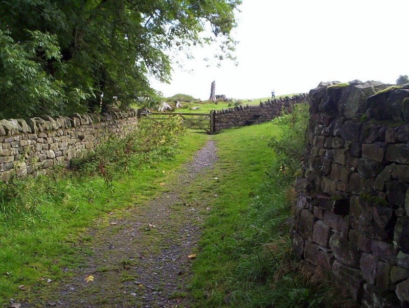
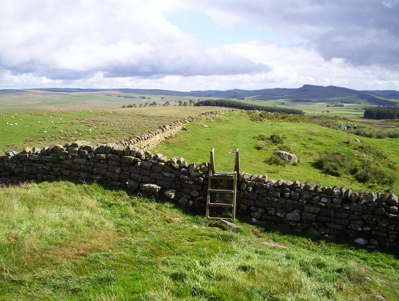
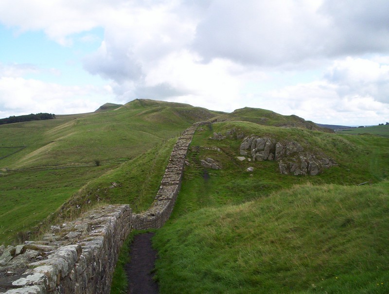
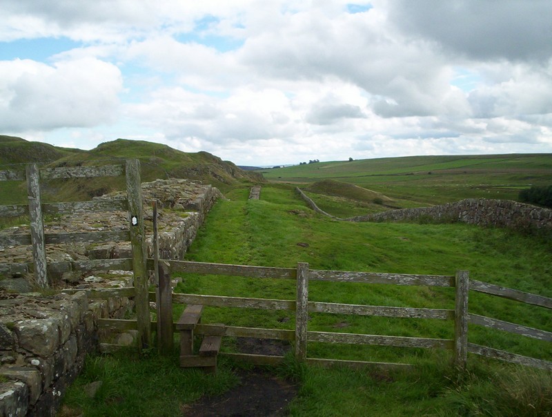
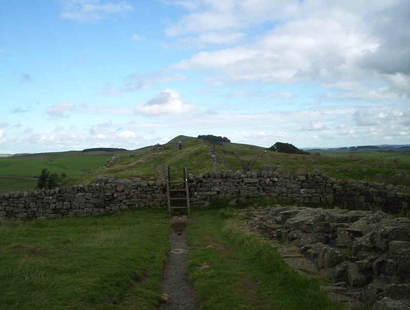
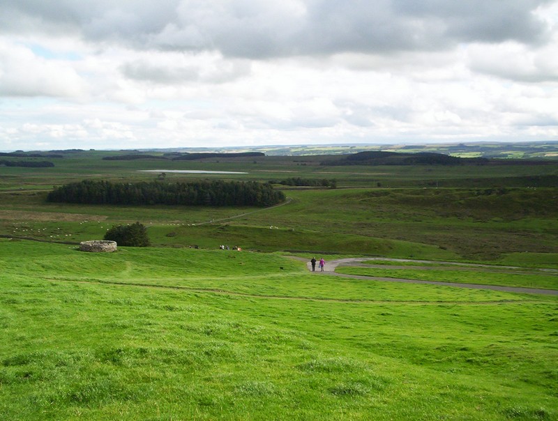
A final steep drop brings the Pennine way down to Rapishaw Gap......
...where the signpost can be seen pointing off to the north and the next section on to Bellingham.
For the sake of completeness the next few photos show the extension to Housesteads Fort.
There's a choice of routes from the gap; either a scramble up the rocks of Housesteads Crags, or a detour around them. I chose the latter!
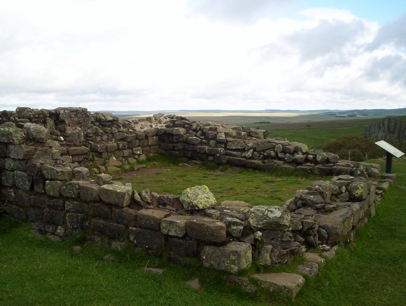
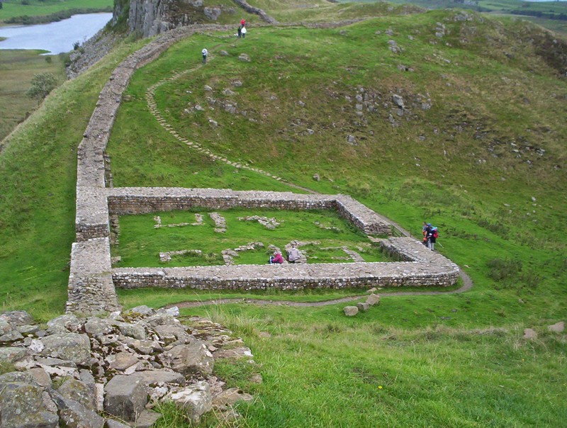
This is mile Castle 37.....
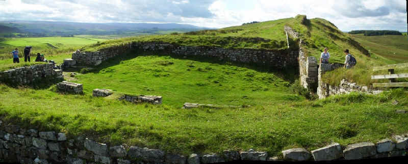
.....with a panoramic photo created from two images showing the remains of an arch
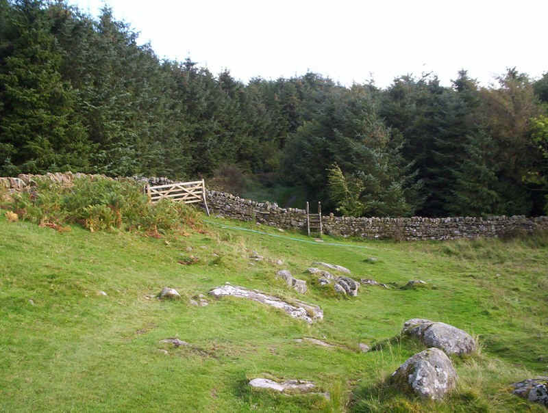
For this part of the walk it's permitted to walk on top of the wall, but it's quicker and pleasanter to stay on the path through the woods...
.....until the outer wall of Housesteads Fort is reached. Walking down by the wall....
.....leads to the ticket office, should you want to visit the fort.
It's a walk of about a quarter of a mile across to the car park, which is hidden behind the trees. There's a cafe and toilets here but, more importantly, it's the stopping point for the AD122 bus service - there's a rather inconspicuous bus stop with timetable at the entrance to the car park.
If you enjoyed reading this page, about walking Hadrian's Wall, I'm sure you'll also like to see the superb, and atmospheric, photos of the wall taken by Joan Thirlaway. Her website, "After the rain", can be seen by clicking on the photo below.