Hawes to Keld
Click here for link to a GPS map of this section of the Pennine Way on Google maps
For the first time so far on my Pennine Way walks I need to put on my waterproof jacket. It's not raining but it's chilly and feels damp.
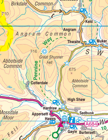
Leaving Hawes on the Haredraw road....
....the PW soon cuts across fields....
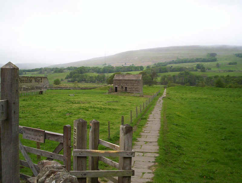
....before a short section of road walking....
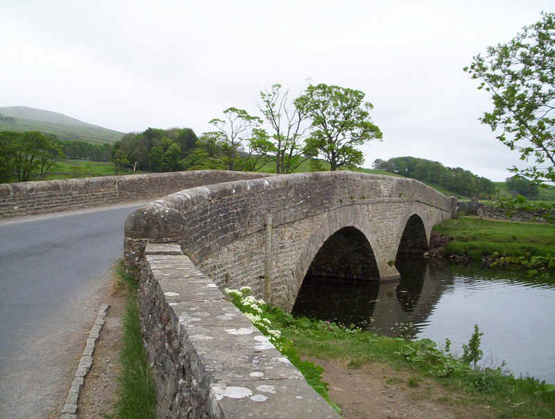
....over this bridge over the River Ure.
A little more road walking towards the trees and then.....
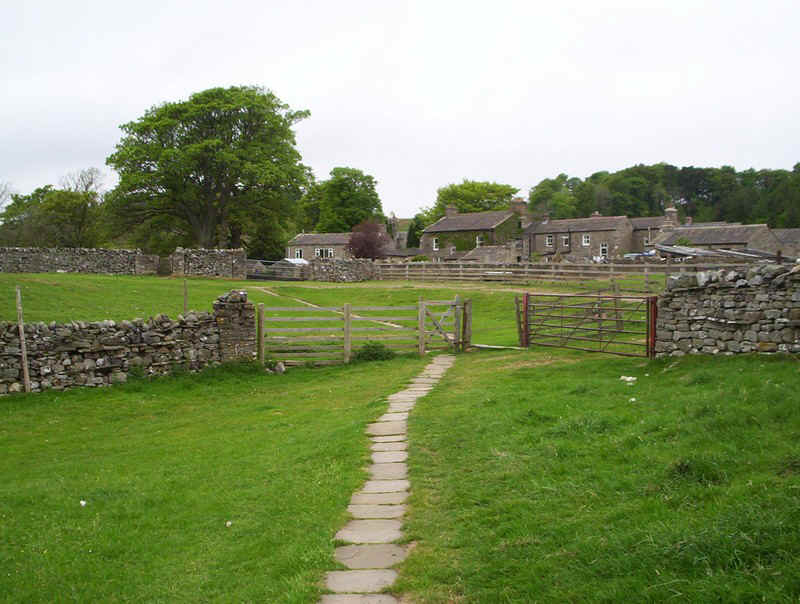
....it's off the tarmac and across....
....the meadows to Hardraw.
Much of the path is paved as it's a popular walk to Hardraw Force waterfall. Sadly, I haven't time to re-visit it as I've a bus to catch in Keld.
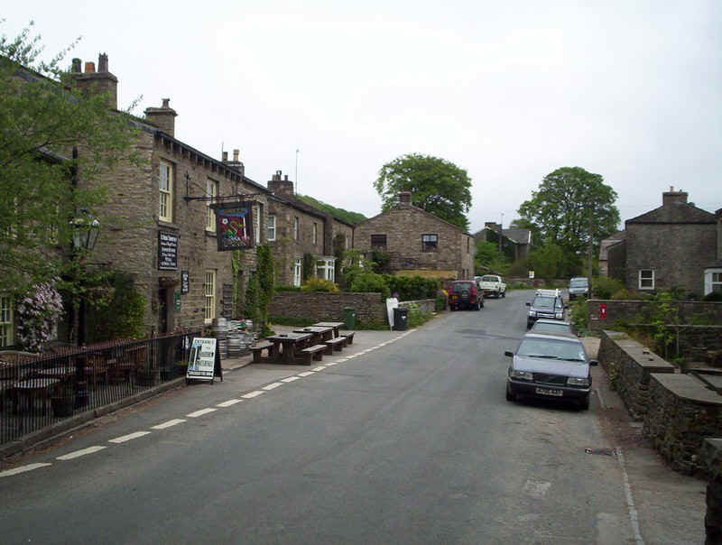
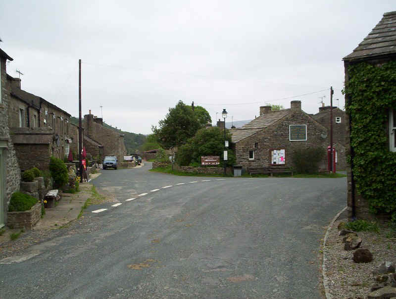
Hardraw village
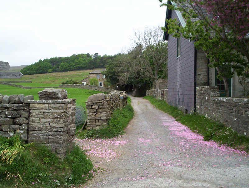
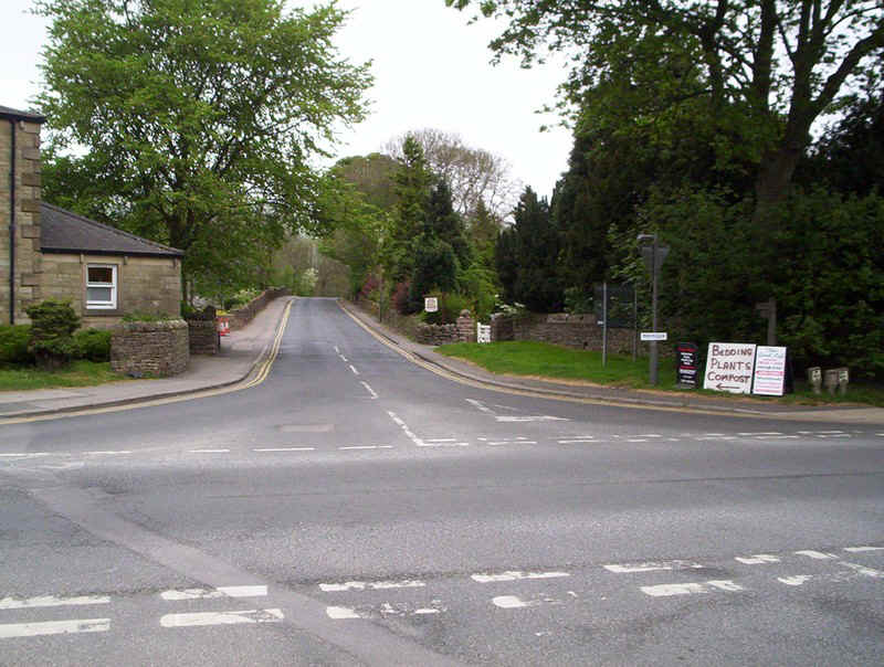
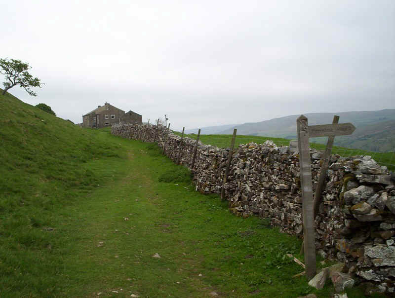
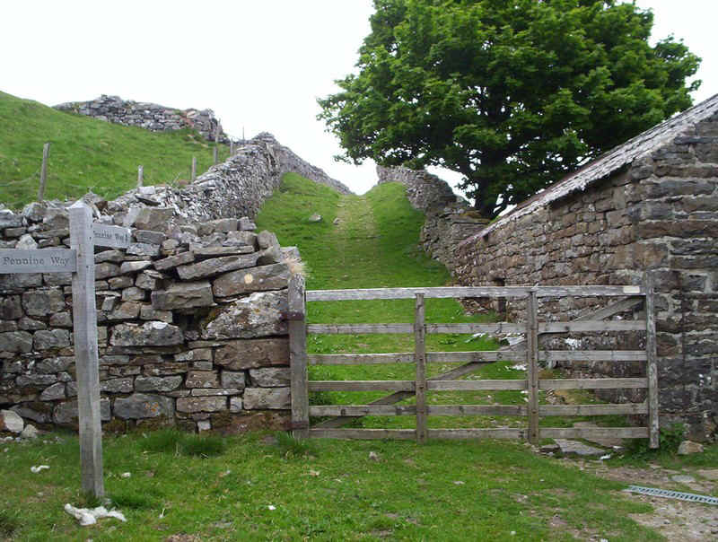
The PW leaves the village by the old school up this lane.
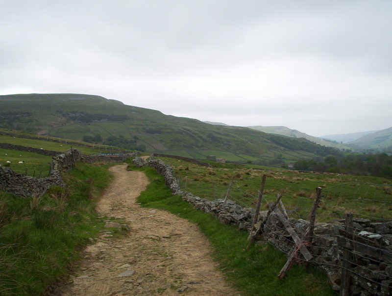
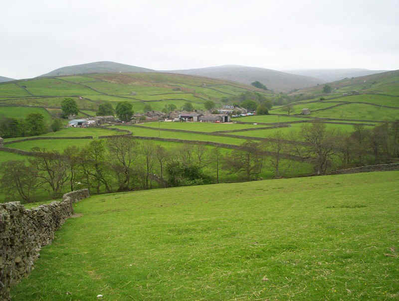
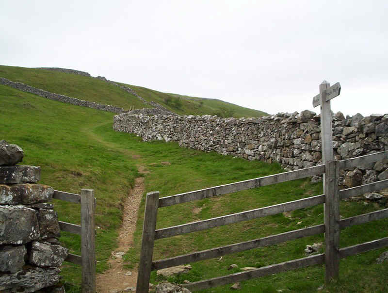
From here onwards it's simply a case of following the lane and tracks for the next few miles as the PW climbs to another of its high points on Great Shunner Fell.
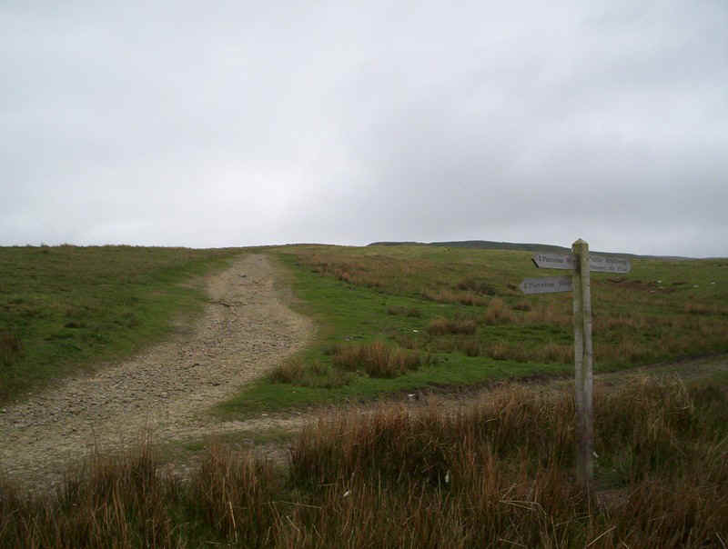
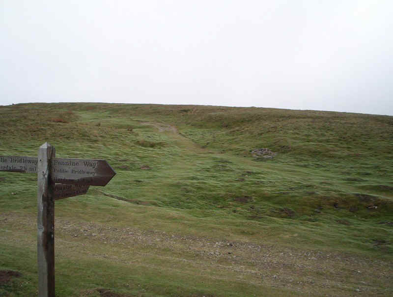
There are several path junctions where it's important to take the correct turning but all are well sign-posted.

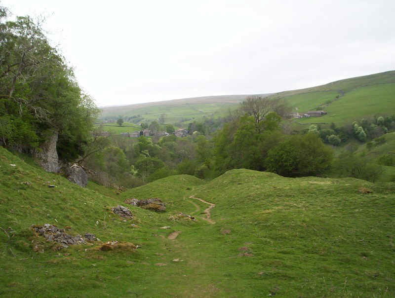
Looking downhill towards Wensleydale.
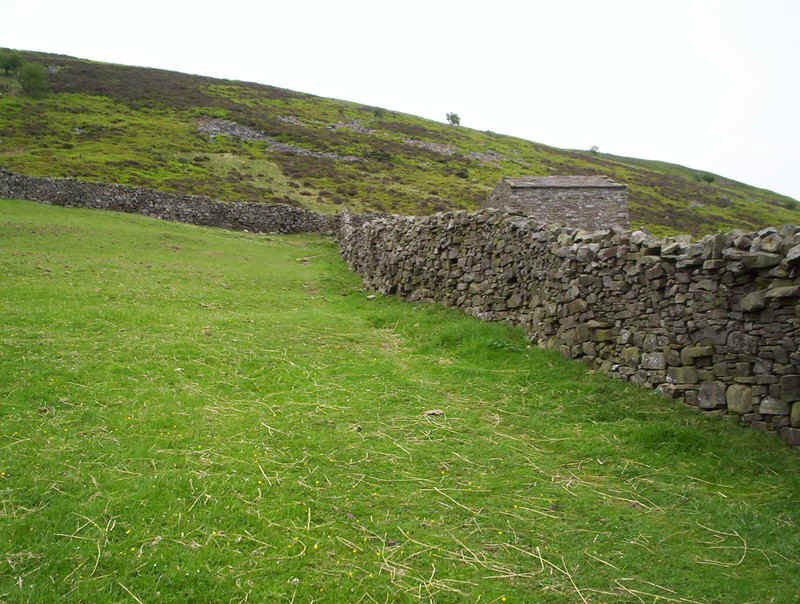
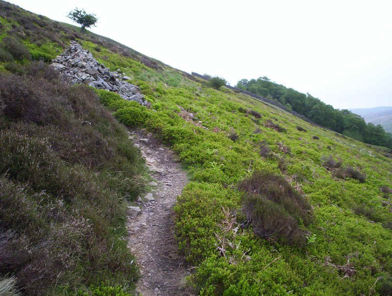
The way forwards passes this pile of stones, a relic of an industrial past.
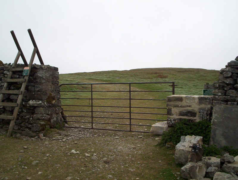
Beware of the gate! Rather than climb the stile I tried to open the gate, which promptly fell onto my boot- ouch! I should have noticed the lack of hinges.............
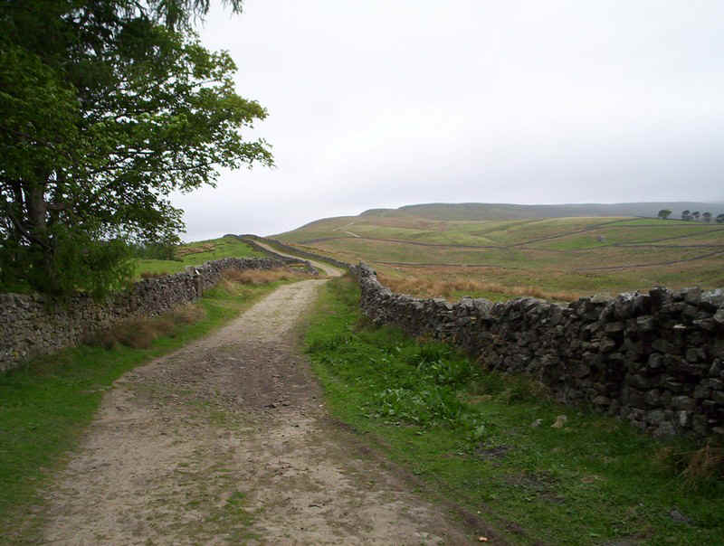
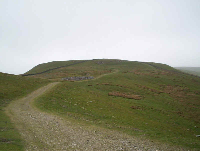
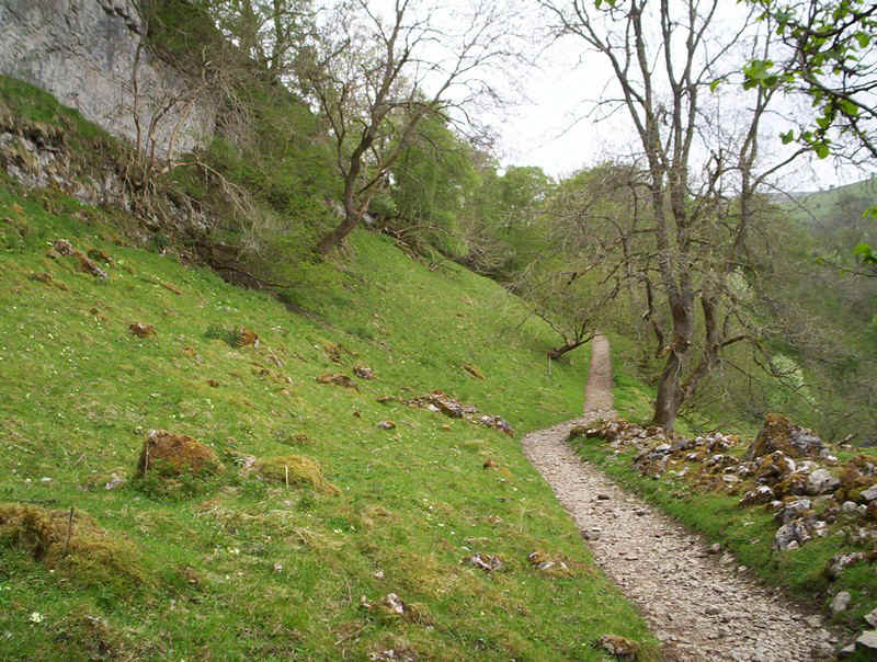
Once beyond the gate the PW heads off across open moorland on a gently rising path.
It's a mixture of turf...
.....slabs.....
.....and more slabs.....
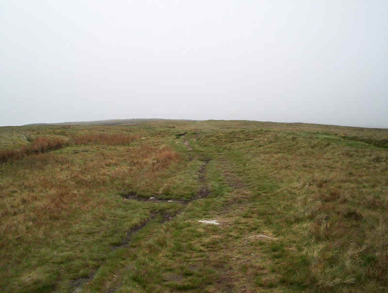
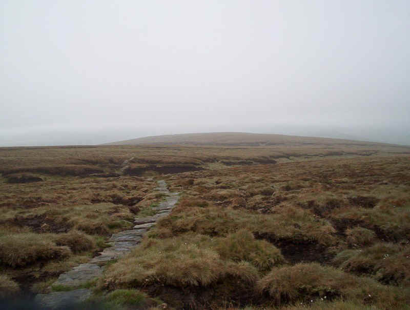
....with no view to help pass the time.
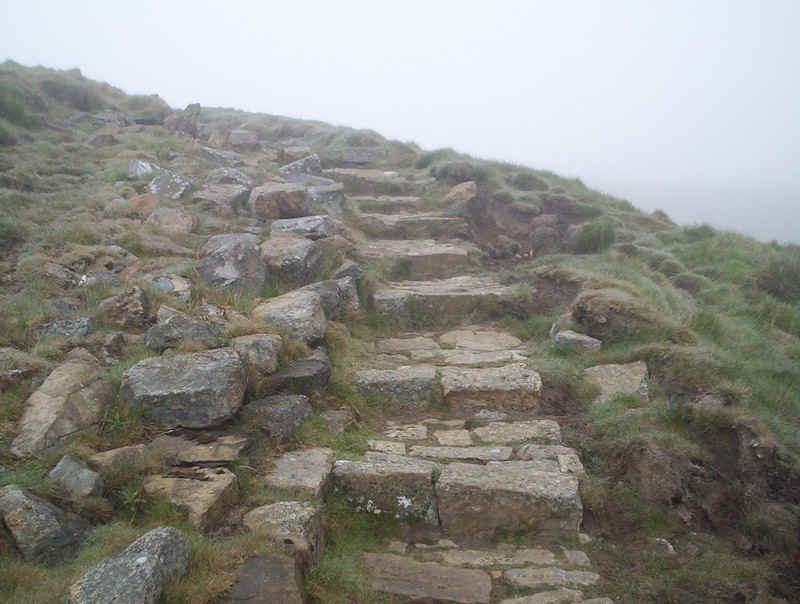
Towards the summit great efforts have gone into building a path.
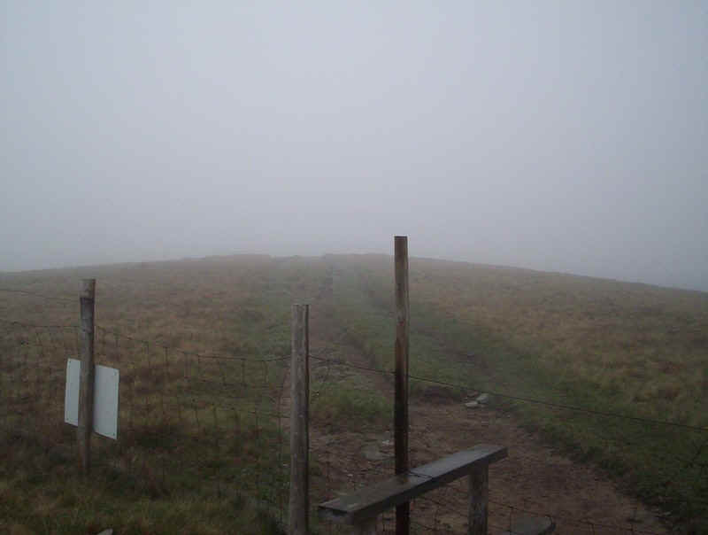
Eventually, the path reaches this enclosed area...
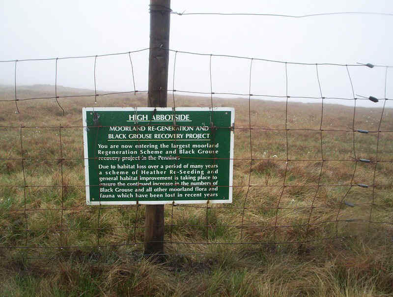
.....with a sign that refers to the High Abbotside re-generatiom project.
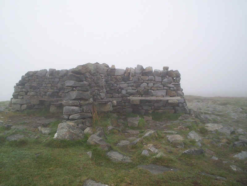
The summit has this wind shelter with the OS marker built into it.
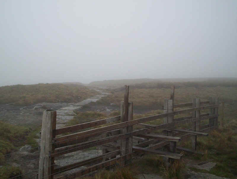
As there was absolutely no view I headed off straight away, over this stile
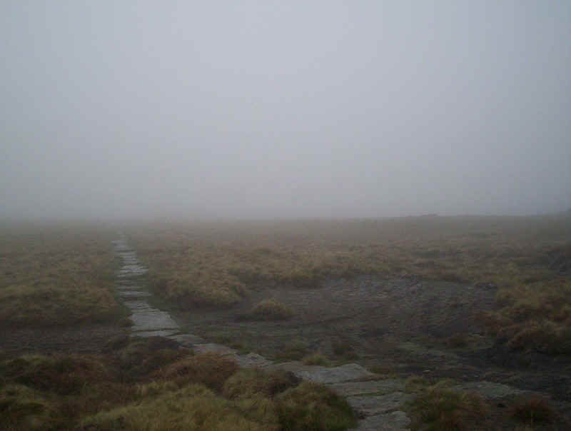
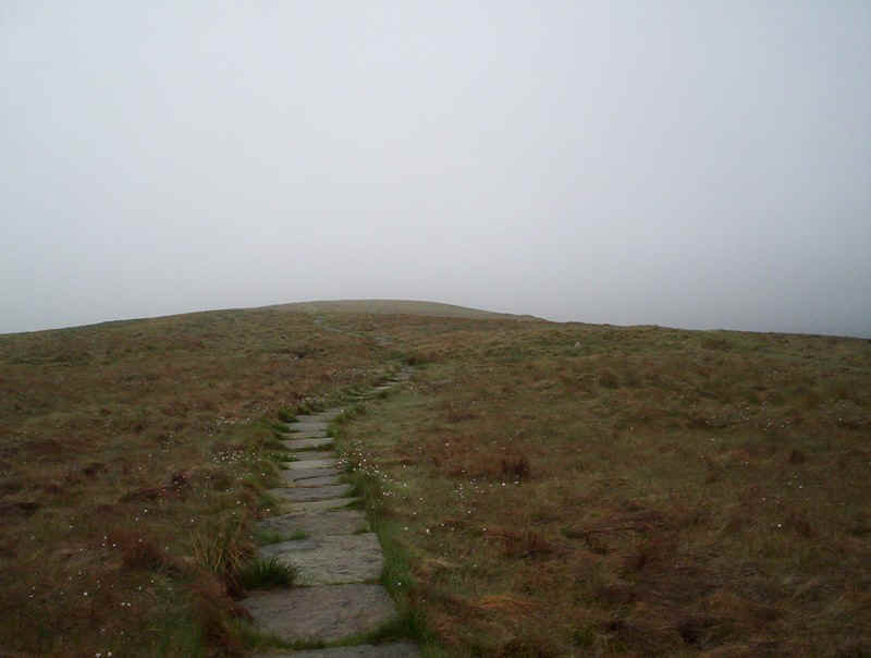
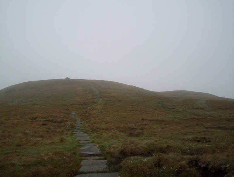
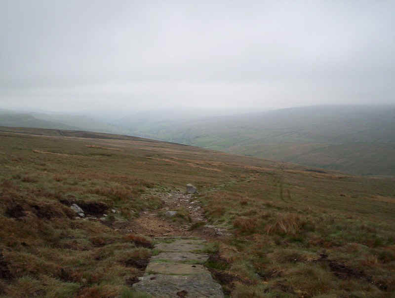
The path down from the summit is even more bleak than the ascent one. There are several miles of paving stones over and through the peat.
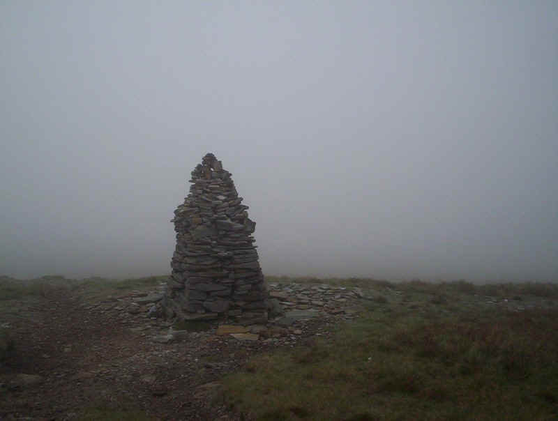
One of several large cairns, which were no doubt really useful in the days before the path was re-constructed.
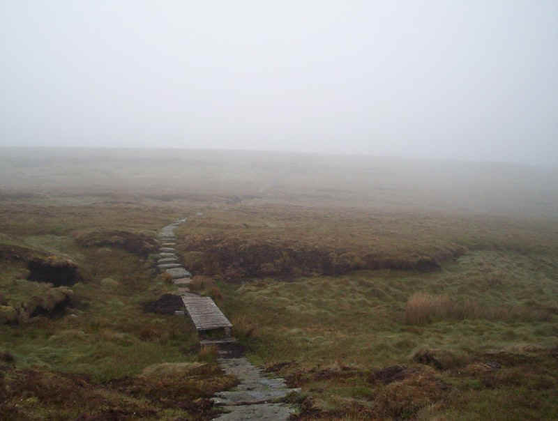
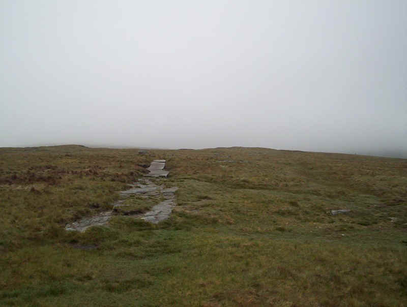
The PW drops down to Bleaberry Head where it crosses a stream on this bridge.
After turning eastwards in a great arc, the way through the peat is made easy with the paving.
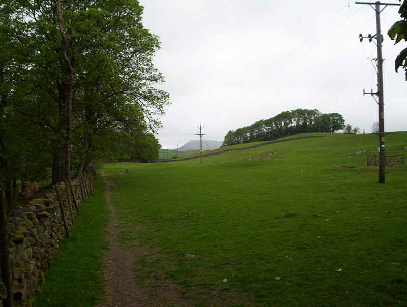
Eventually the path starts to descend into Stock Dale and back onto grass.
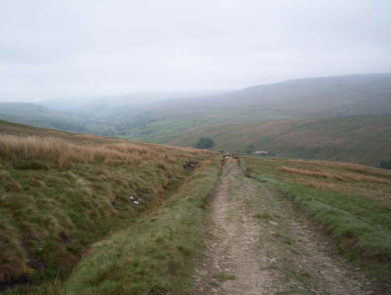
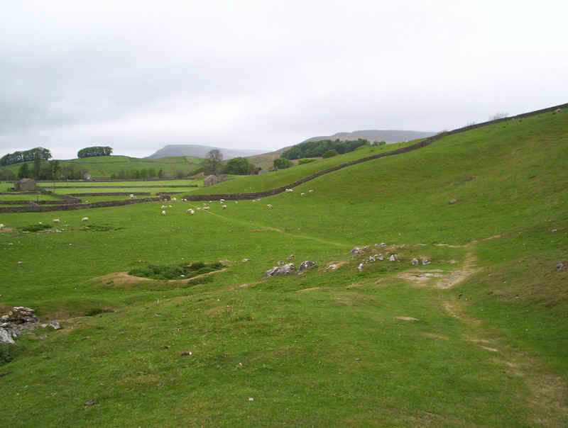
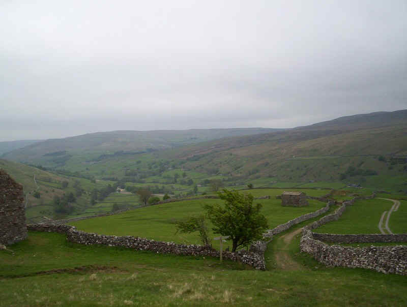
On the approach to Thwaite the PW uses a farm track...
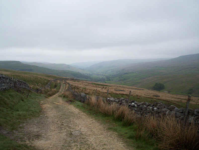
.....as the view of Swaledale......
....gradually improves.
The PW will head up the right shoulder (by the wood) of Kisdon Hill on the way on to Keld.
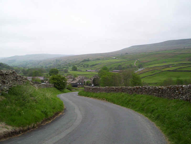
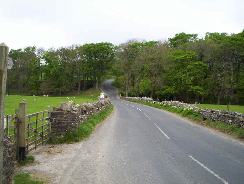
There's a short section on the road down into Thwaite.
In the centre of the village the PW turns off the main road at this junction.....
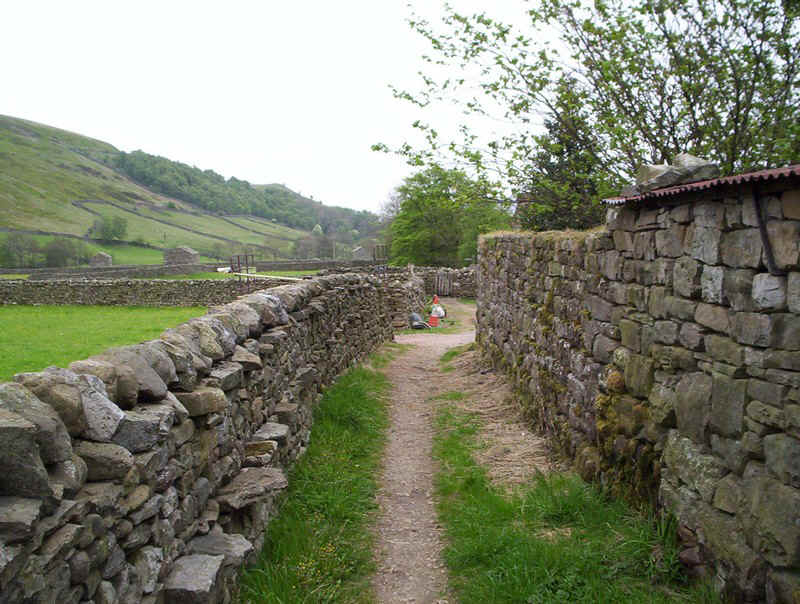
....before squeezing through this way between houses and fields.
The farmers in Thwaite clearly like walkers to keep to the paths as every gate has a sign instructing you to walk in single file.
However, there's no clear marking of the PW and I found it difficult to find the path out of the fields.
Eventually I spotted a sign higher up the hill near a stile. This is looking back over Thwaite.
The path now climbs steeply..
.....uphill through heather.....
.......to a wall above a wood.
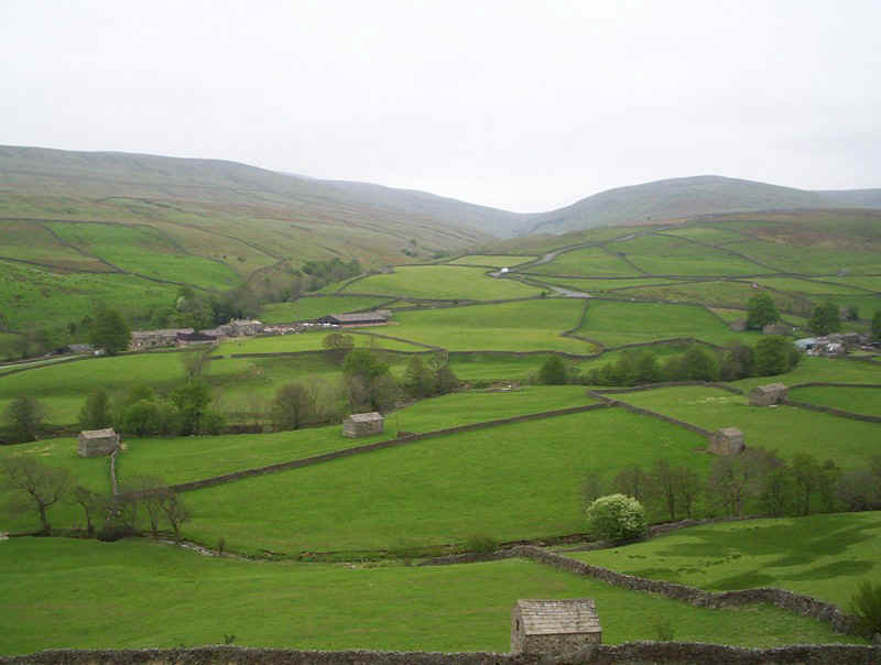
The view across the valley showing the steep road over the Buttertubs Pass.....
......and Thwaite with Great Shunner Fell beyond.
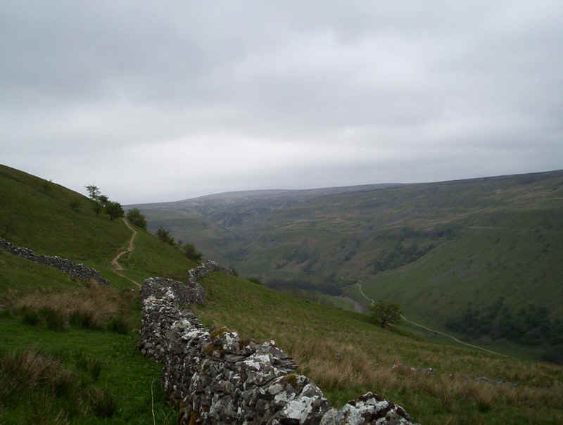
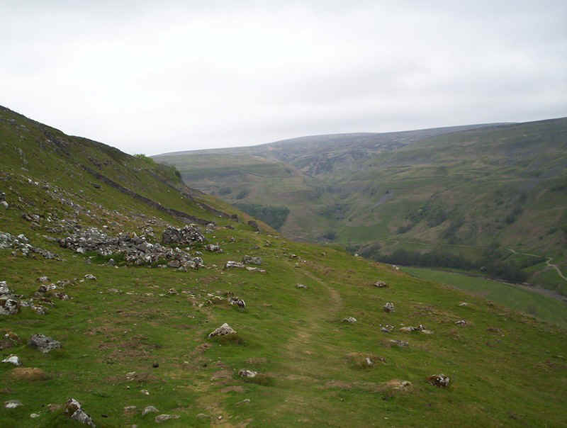
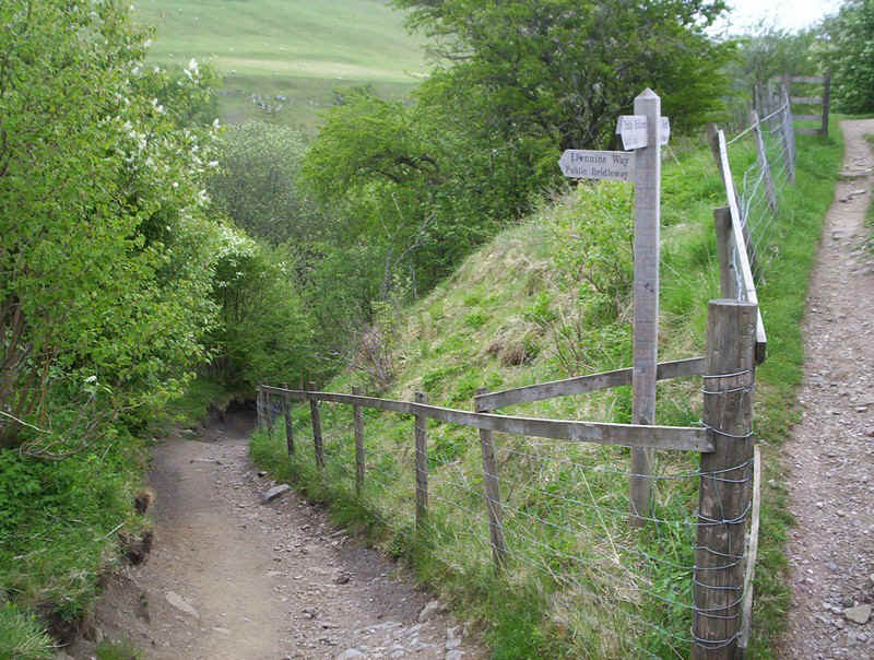
From now on the path to Keld skirts Kisdon hill and includes some spectacular sections, which compensated for the dreariness of the moorland walk in the mist.
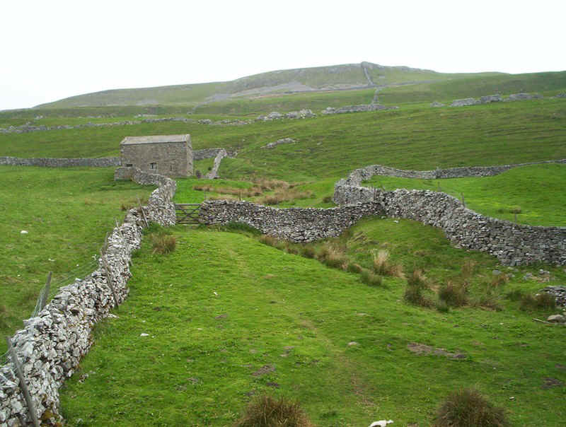
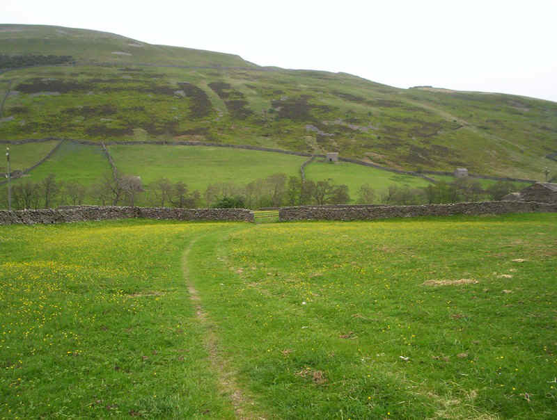
The path crosses fields.....
....to reach Kisdon Farm...
.....where it climbs uphill....
.....to a junction of various tracks.
The PW continues climbing...
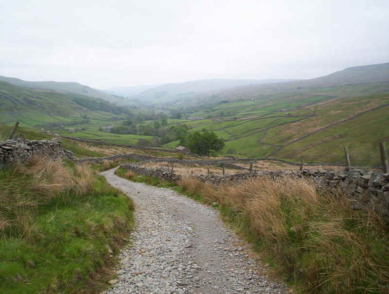
....before beginning a long traverse on the eastern side of kisdon, high above the River Swale.
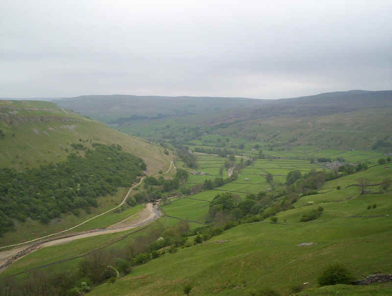
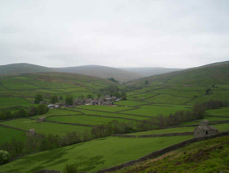
Looking down hill with the village of Muker just visible on the right.
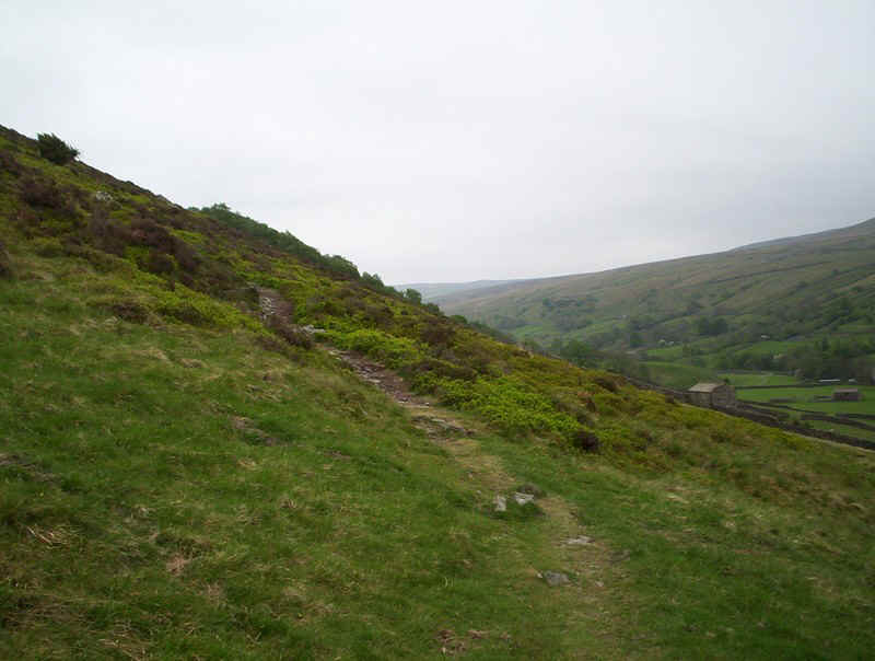
The track continues at first on grass.....
.....and on a ledge.
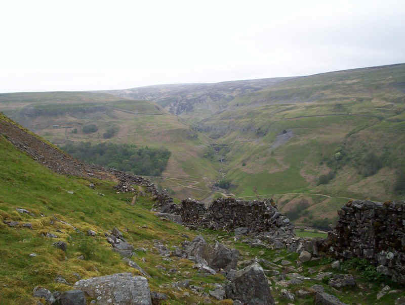
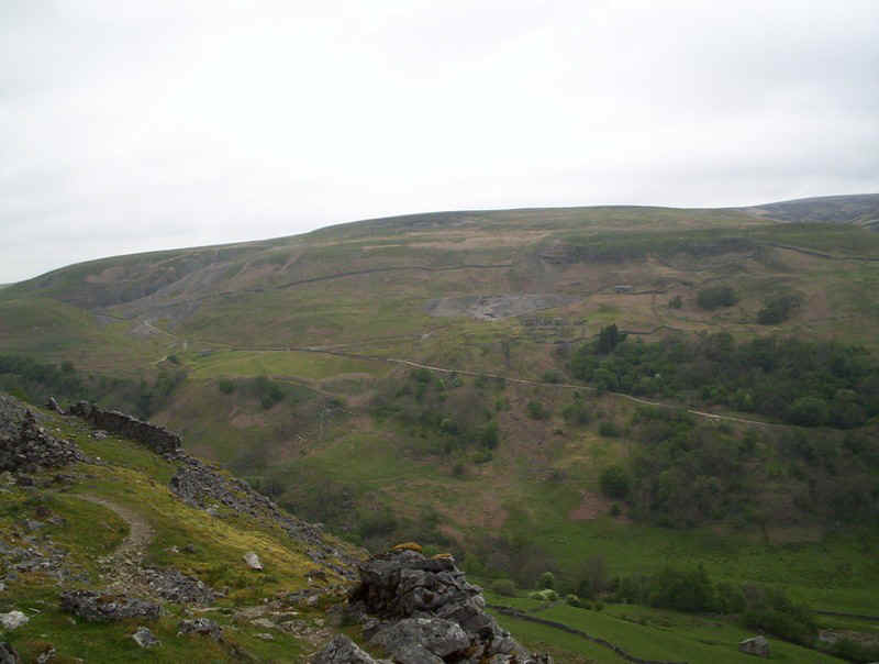
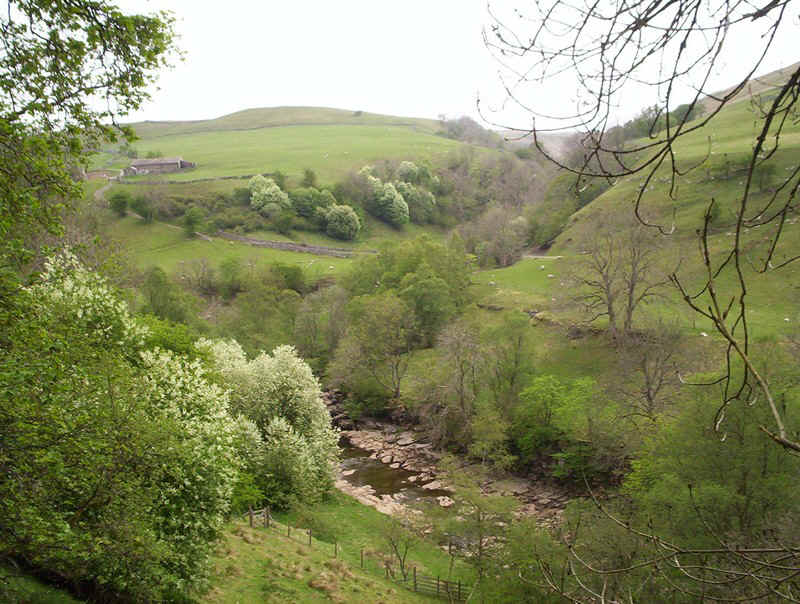
Across the valley the remains of lead mining can be seen right along this section. in places the path crosses rocky sections over scree.
....before starting to fall...
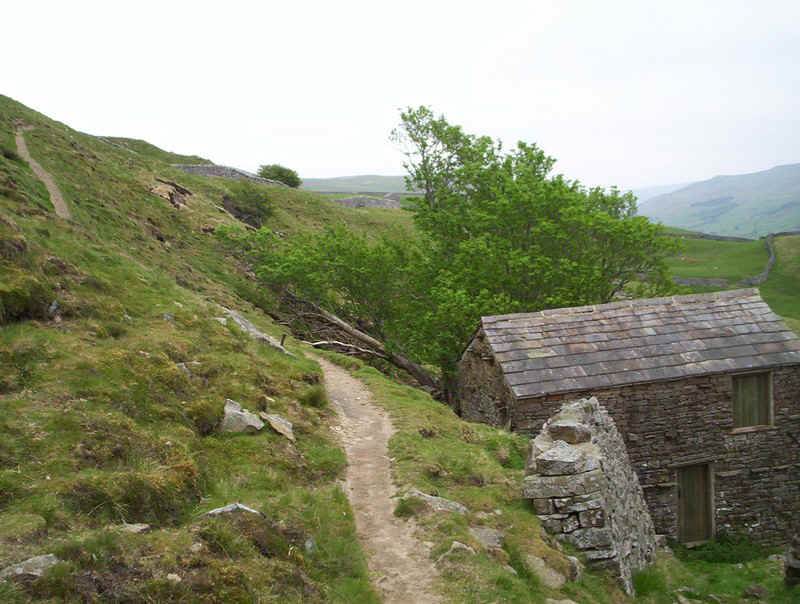
.....to reach this wood.
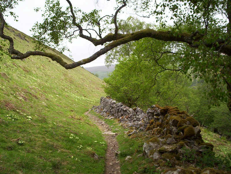
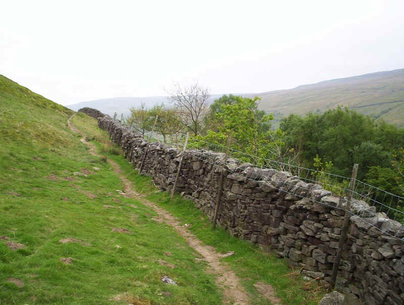
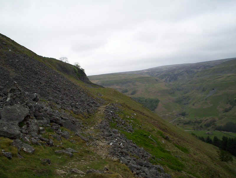
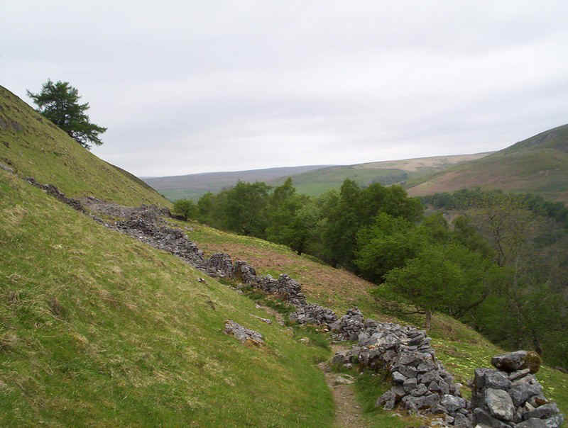
It's an easy path by the wall...
......and then the hillside, with cliffs on the other side of the valley.
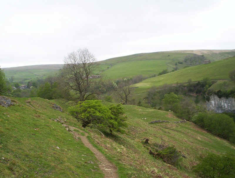
The village of Keld comes into view.
The path becomes "tamer"....
......with views down to the river.
The Pennine Way doesn;t quite go nto Keld, but this is where I'll pick it up next time
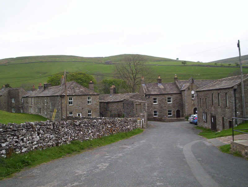
Keld village with its squat stone buildings.
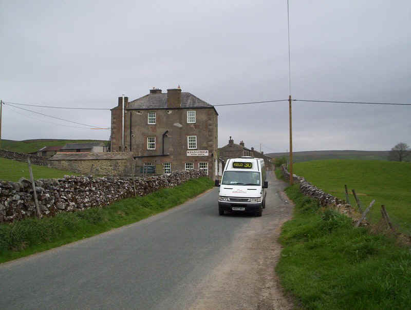
Up on the main road just outside the village the twice daily Keld to Richmond bus provide transport back home.