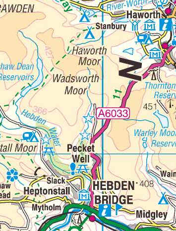
Day 4 - Hebden Bridge to Stanbury
Click here for link to a GPS map of this section of the Pennine Way on Google maps
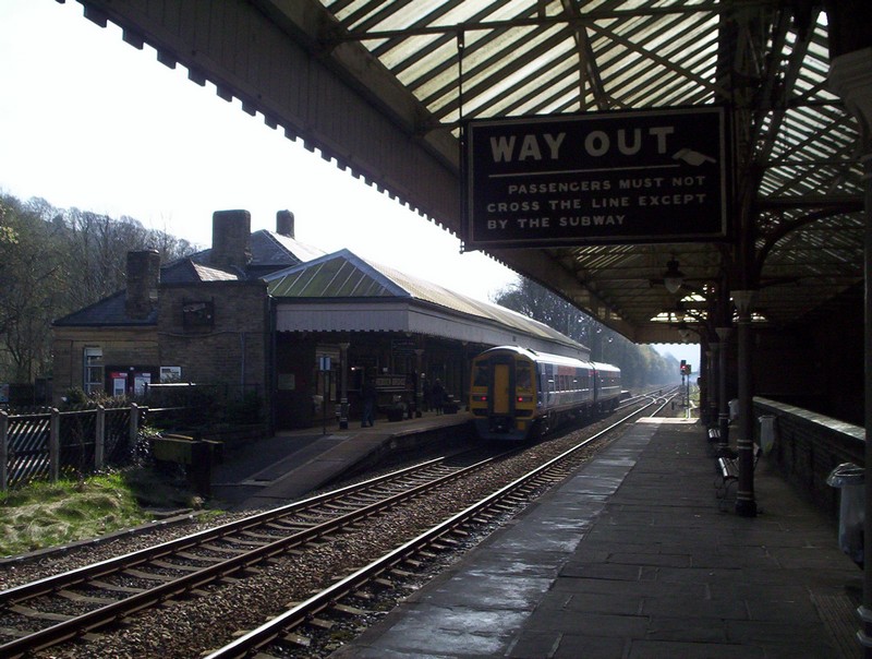
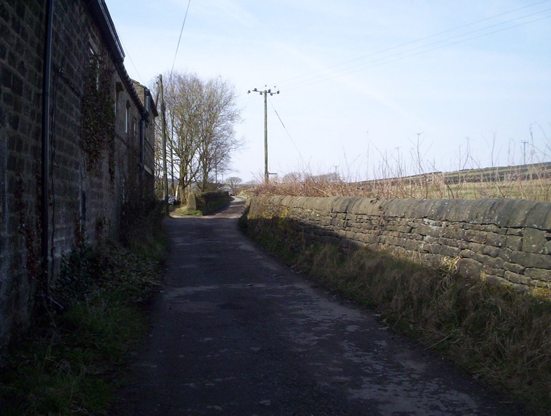
I took the train to Hebden Bridge, which still has its early twentieth century signposts and retains an "old world charm" throughout the station
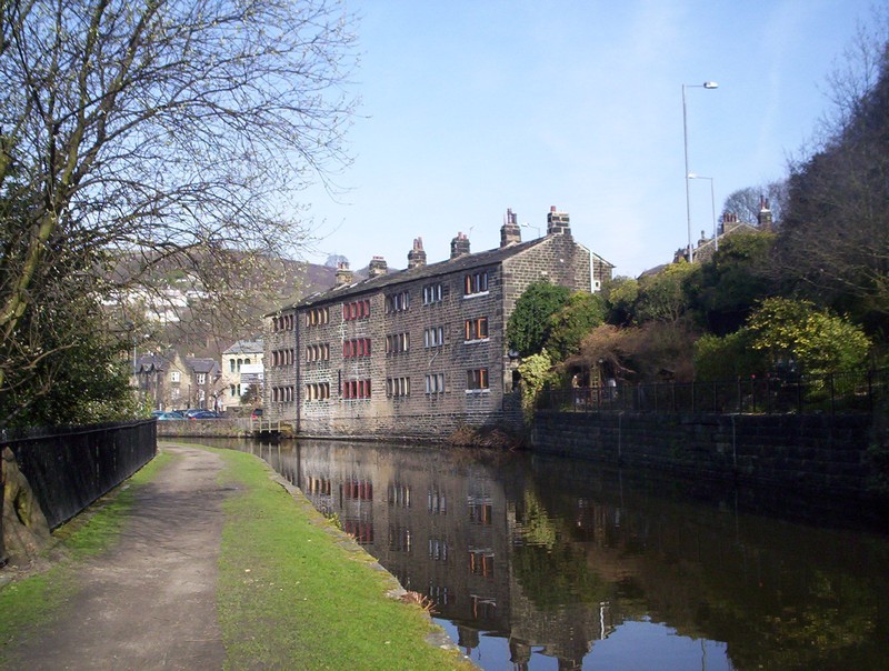
Gentrified mill workers cottages at Hebden Bridge.
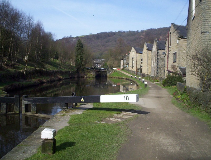
One of the locks at Hebden Bridge.
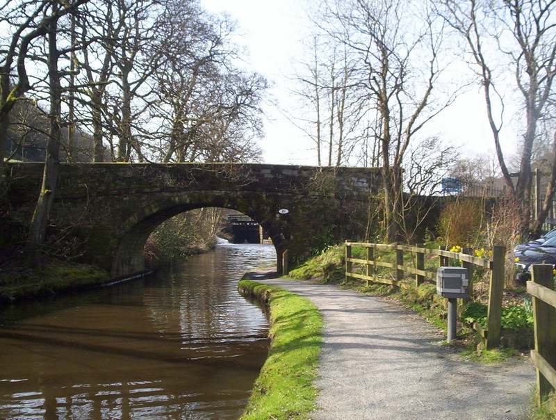
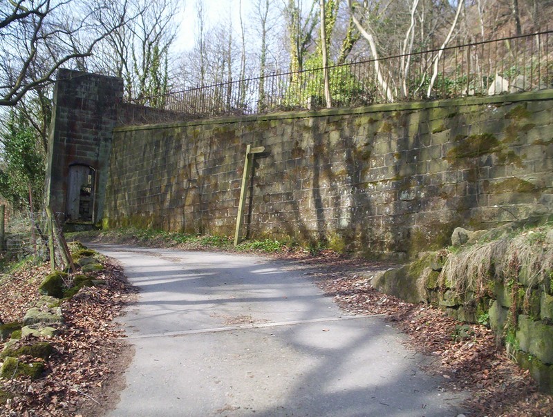
At Charlesworth the PW from Stoodley Pike crosses the canal.....
......crosses the main road and goes under the railway before starting......
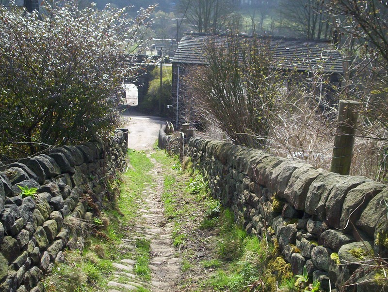
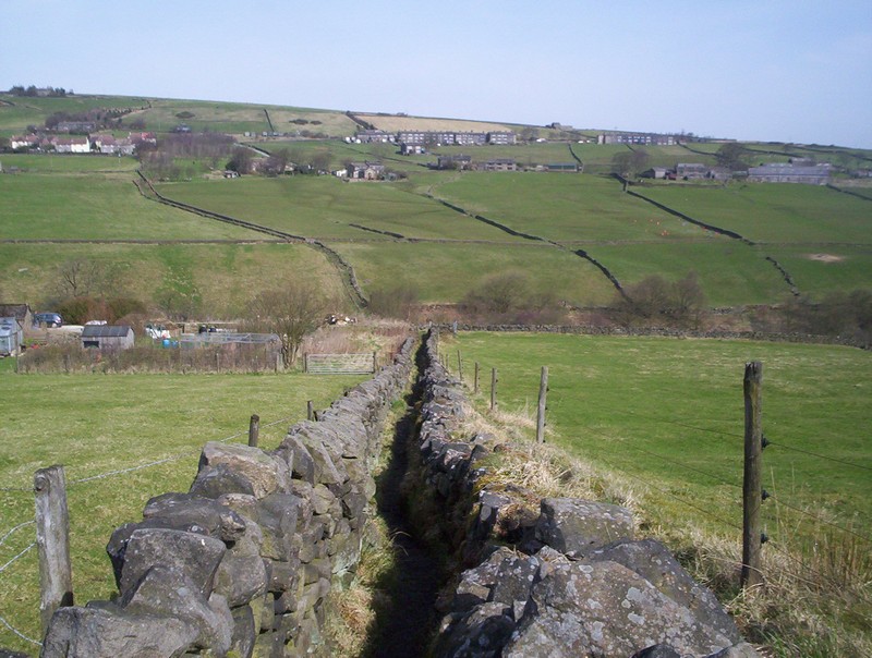
......to climb this typical industrial West Yorkshire walled and paved path.
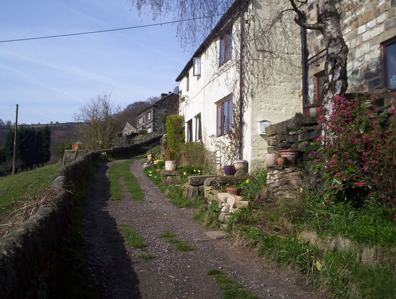
The PW zigzags up the valley side through a variety of cottages....
.....to reach the walls of a derelict chapel.
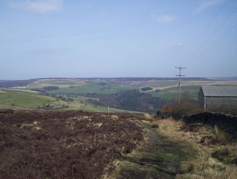
Looking back down into Calderdale.
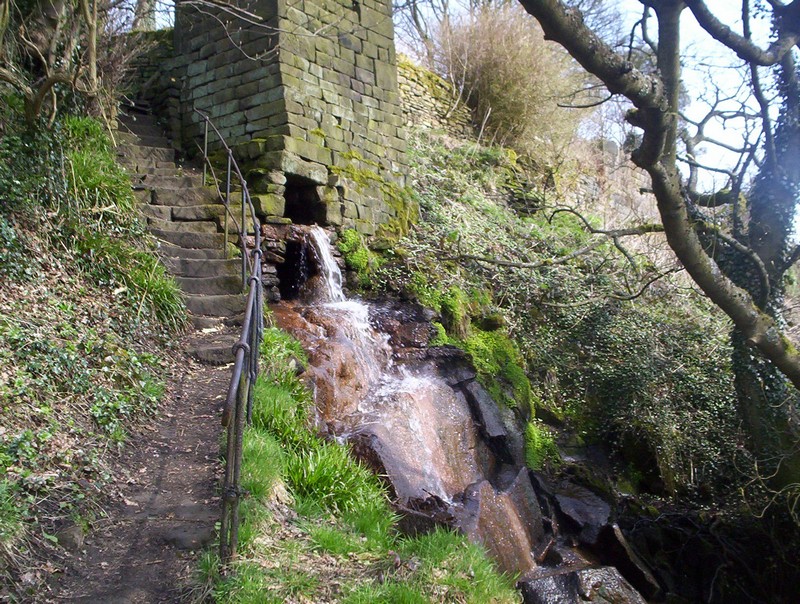
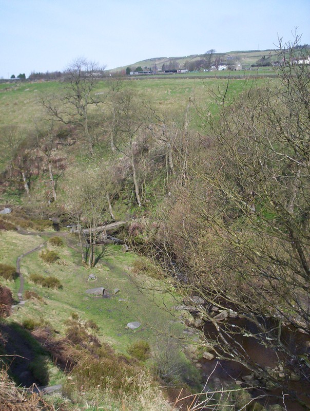
The path climbs through woods and then past a waterfall....
.....to reach a lane on the moor.
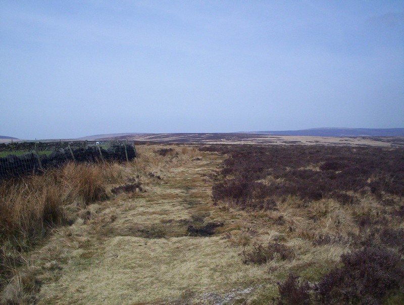
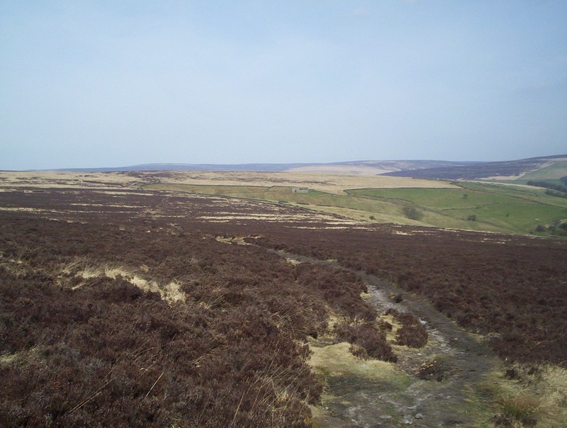
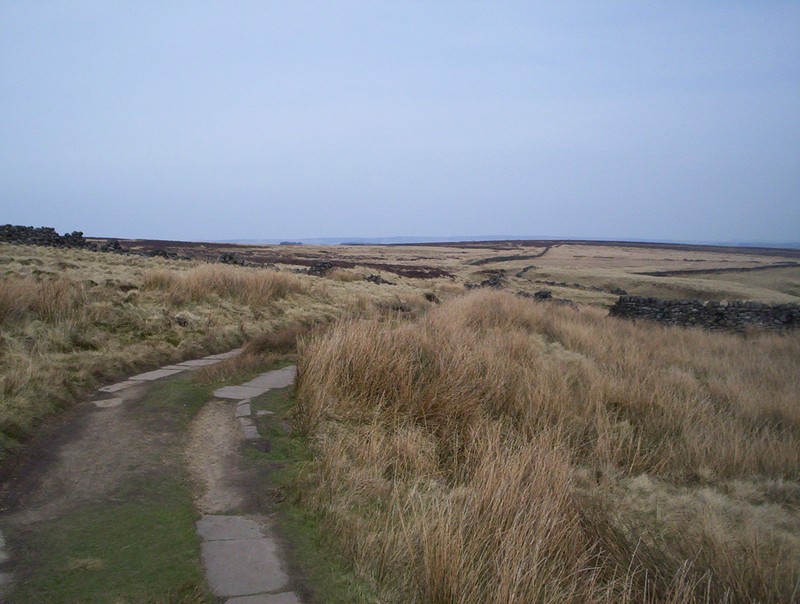
After a short distance the PW takes to paths across the moor....
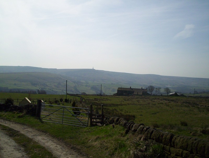
......with a view looking back to Stoodley Pike......
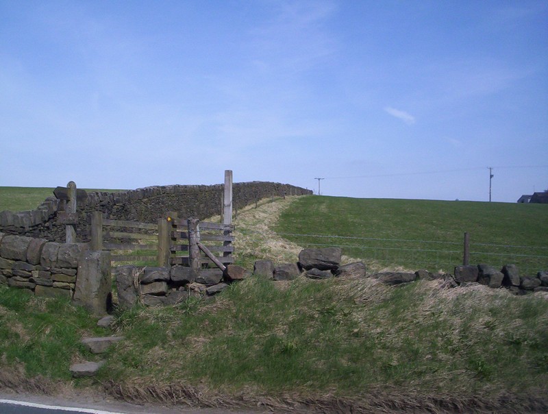
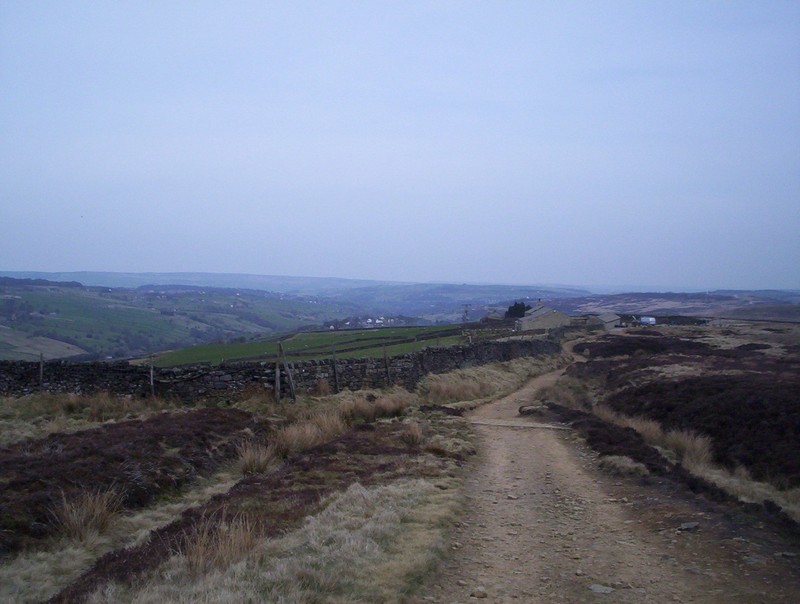
After crossing another country road the PW heads across more farmland...
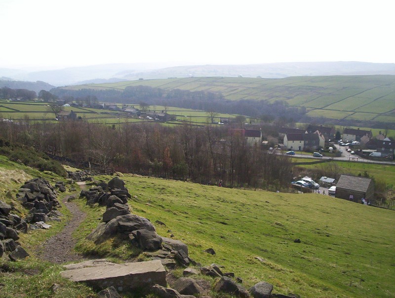
....and then downhill with a view of the village of Colden ahead.

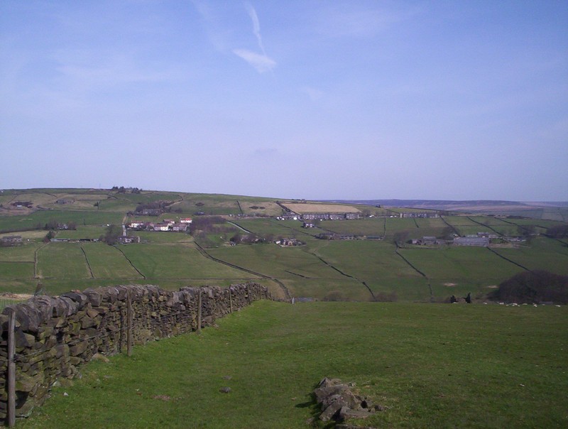
A panoramaic view of Colden and over to the right Heptonstall. Click on the image to enlarge.
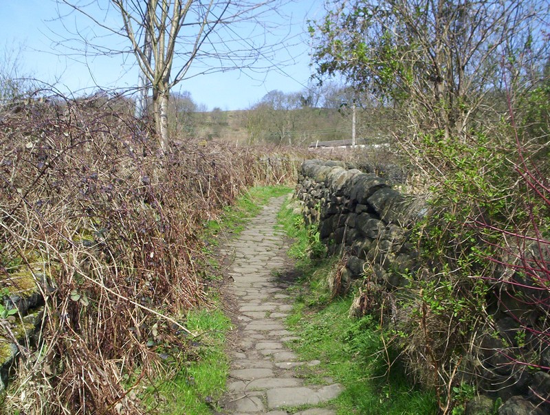
The PW descends yet another of these narrow Pennine trods, used in the past by mill-workers.
The path descends steeply to cross a stream before entering Colden.
The PW leaves Colden.....
.....onto Heptonstall Moor, where signposting of the PW is poor and I, initially, set off in the wrong direction at this wall and had to retreat.
The correct way drops down past Boothroyd Farm...
....and heads across the moor....
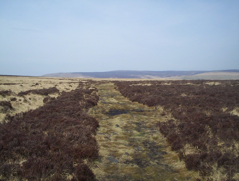
.....on a broad, if rather soft, track...
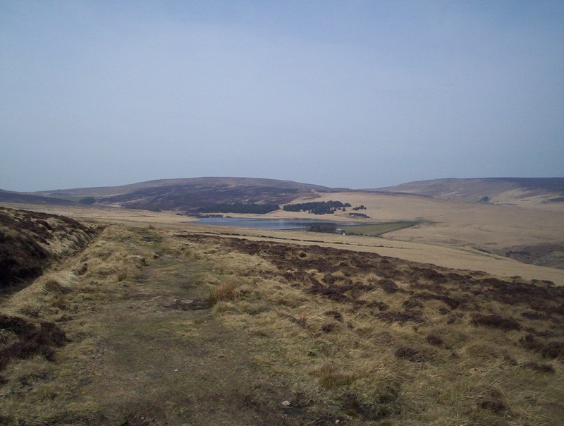
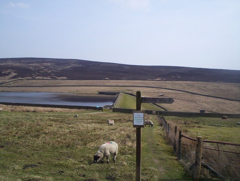
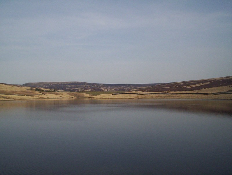
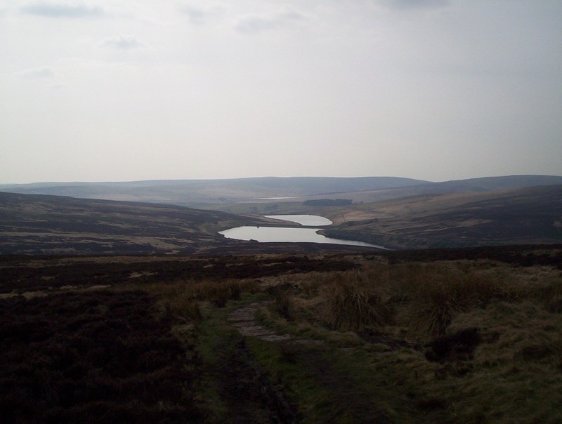
The first of a series of reservoirs comes into view......
as the PW joins the pennine Bridleway as it drops down to Gorple Cottages.
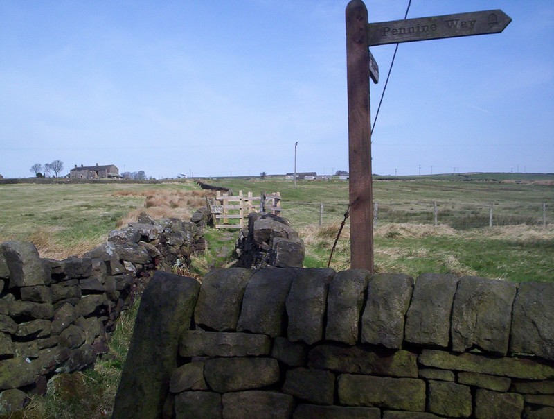
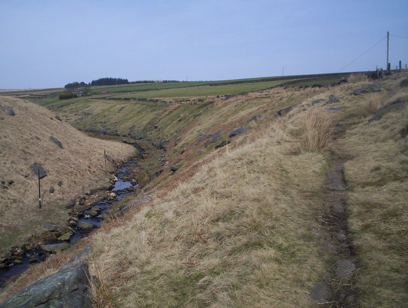
Here there is a signpost pointing the PW down towards the Graining Water....
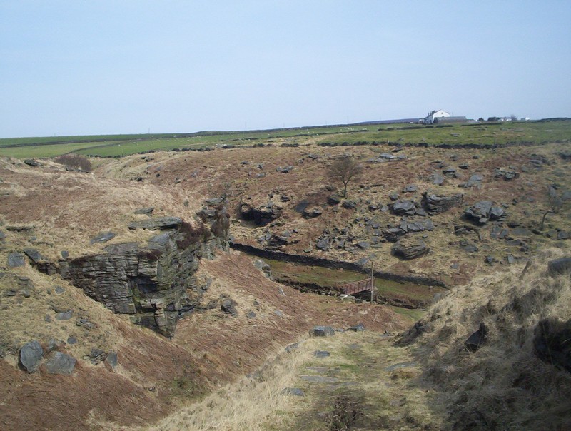
....and its footbridge in a rather dramatic location....
......before climbing up to the.....
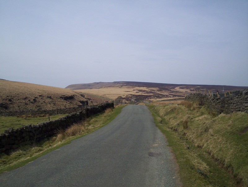
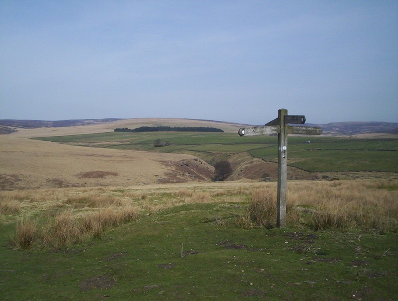
......lane where the way is to the left.
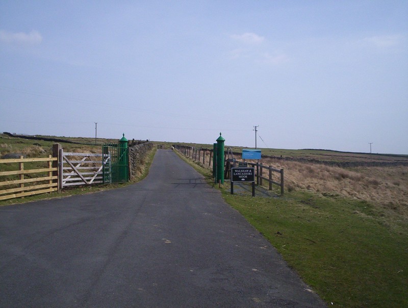
After a short distance the PW turns up the gated waterworks road. Once again the PW signing is not clear but the lane leads to Walshaw Dean Lower Reservoir.....
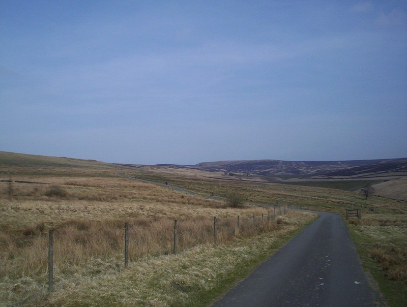
......after about a mile of walking along the paved road.
At the dam the PW turns right and crosses the dam.....
.......with the way forward on the far bank leading to the next reservoir.....
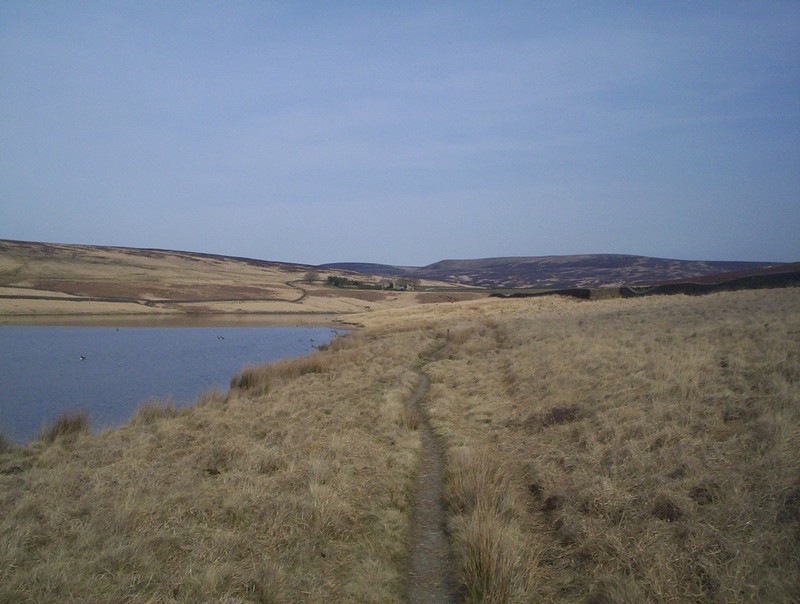
......along a narrow path.
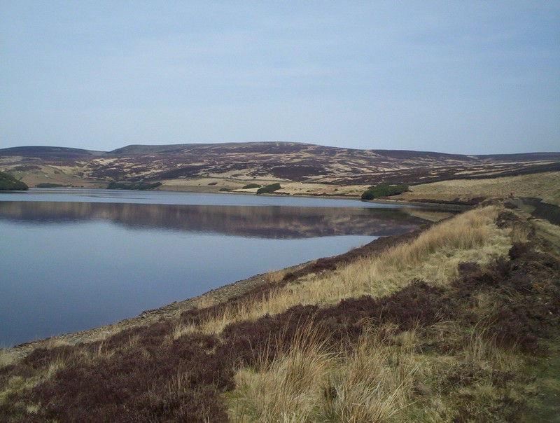
Walshaw Dean Middle Reservoir is reached and the path continues by the side of a water channel before...
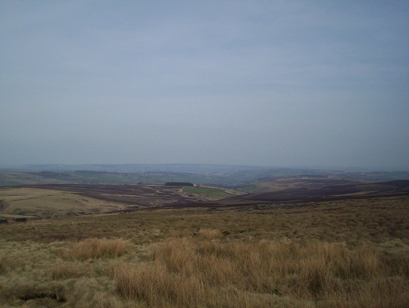
......starting to climb across the moor. The photo shows the route looking back.
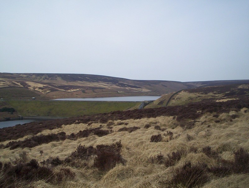
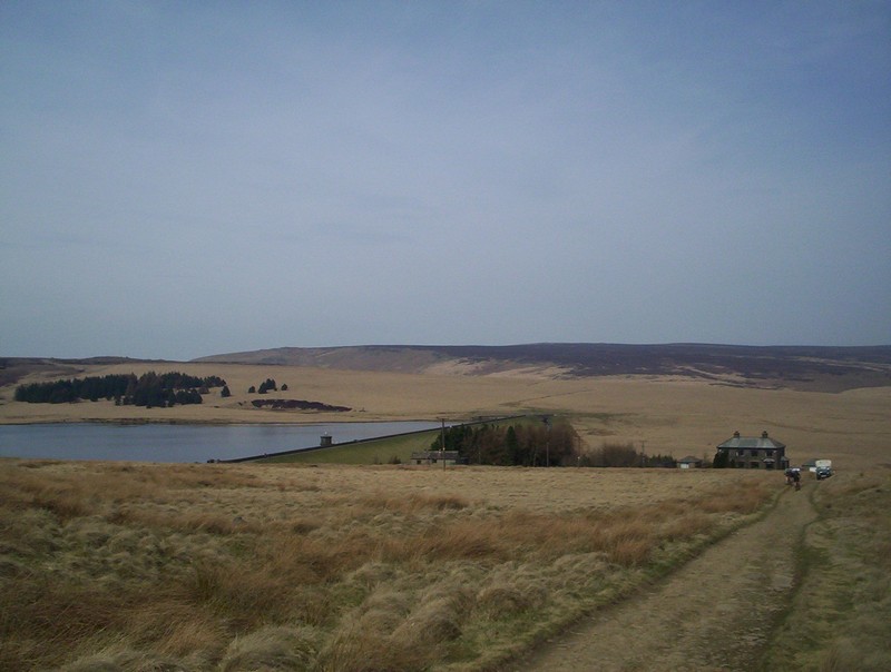
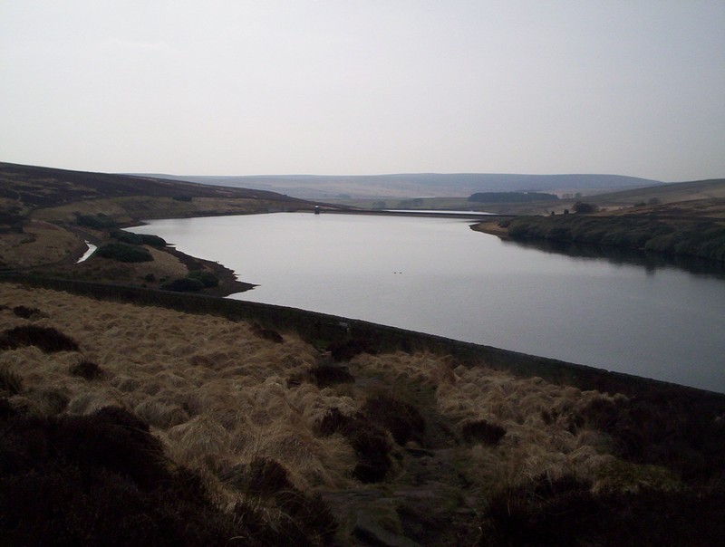
As the PW climbs across Wadsworth Moor, the Upper Reservoir comes into view.
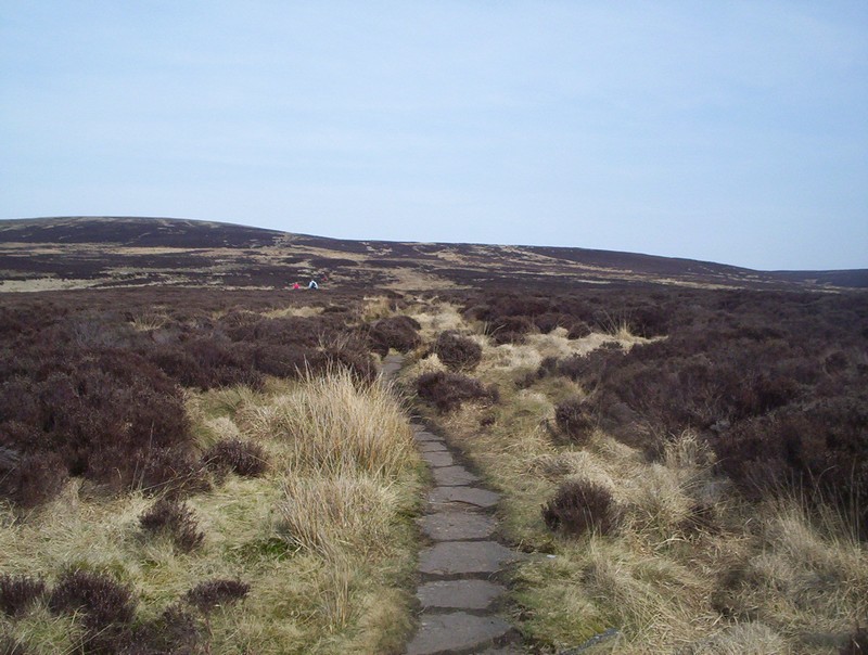
The path becomes paved as it winds gently uphill.....
......with a final look back.
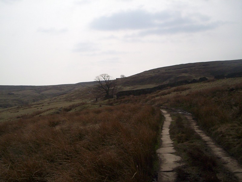
Eventually, the ruins of Top Withins Farm comes into view.
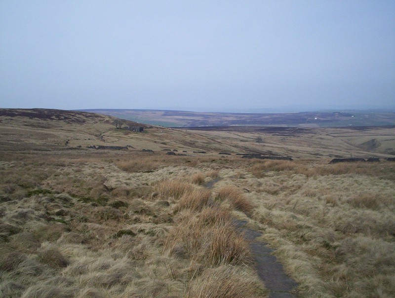
Beyond Top Withins and its hoards of Bronte tourists....
.....the PW drops downhill....
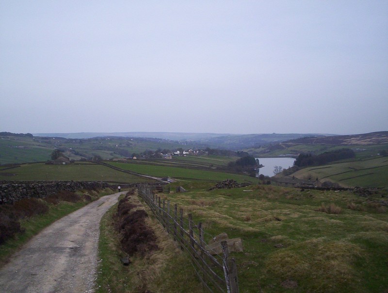
....across Stanbury Moor....
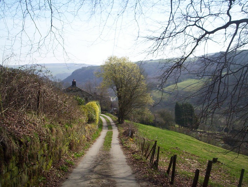
.....to Lower Heights Farm where the PW turns off towards Ponden and the next stage.
I continued down the lane to the village of Stanbury and the bus into Keighley.
Next Stage: Stanbury to Thornton-in-Craven
