Keld to Bowes
Click here for link to a GPS map of this section of the Pennine Way on Google maps
Day 10 of the Pennine Way and it was on the train to Darlington, followed by a bus to Richmond, and a nail-biting 10 minute connection on the morning "Little Red Bus" to Keld. If I missed this, then there would have been an expensive taxi fare. Fortunately, Northern Rail and Arriva North East proved that there is an integrated transport system after all, although no through ticketing of course....
On arrival at Keld it was straight into the cafe for tea and cake. Well, I had been up since six o'clock.
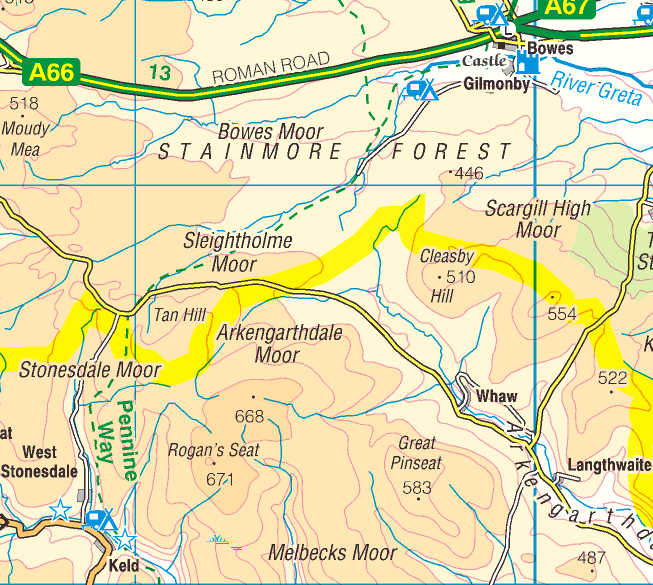
The PW doesn't quite go into Keld but here is the signpost pointing the way down......
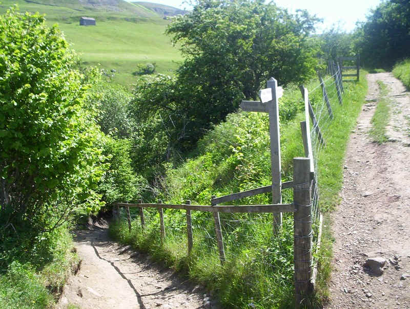
.....to the bridge over the River Swale. It's incredibly low after a very dry Spring and early Summer.
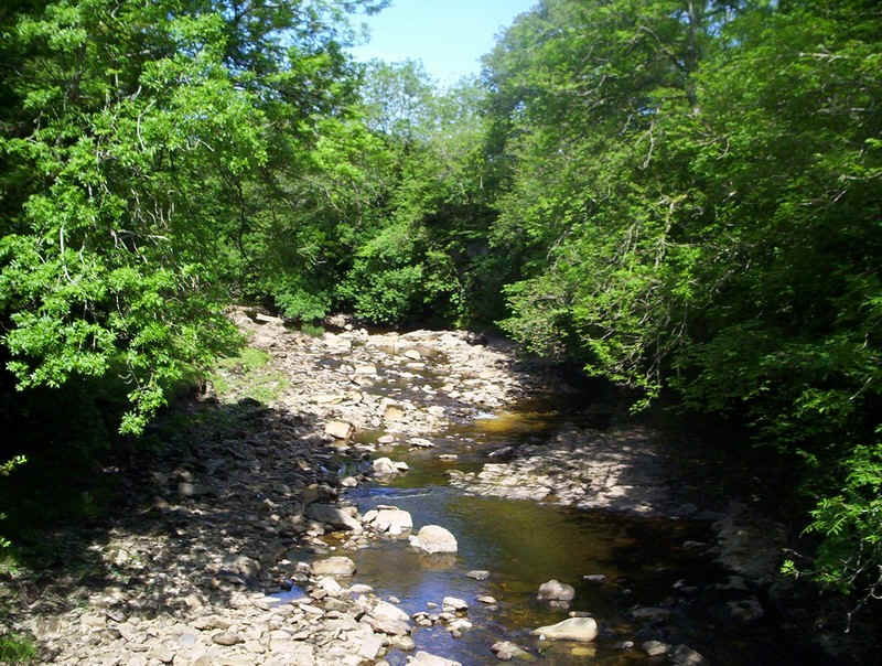
Even Kisdon Force doesn't look much today.
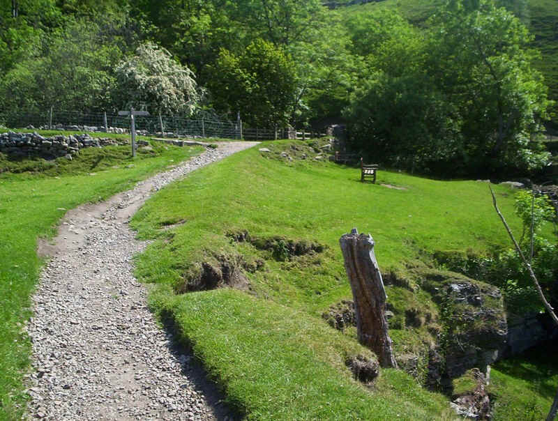
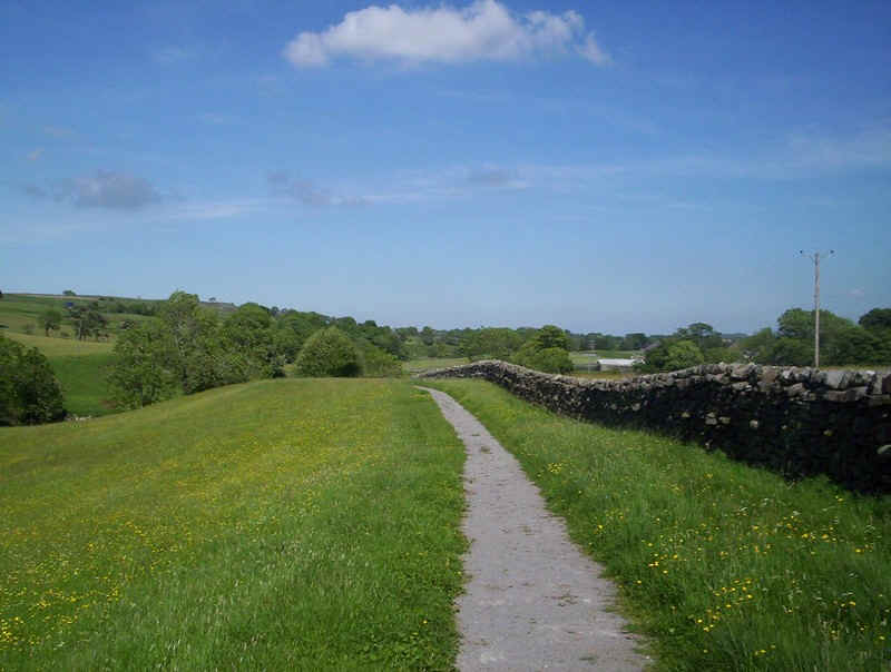
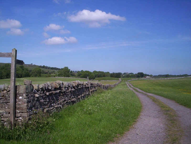
The beautifully tended path soon gives way.....
....to something much better as the PW starts to climb....
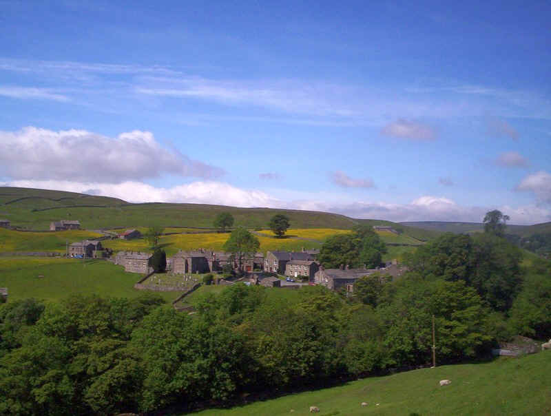
......giving a good view of Keld.
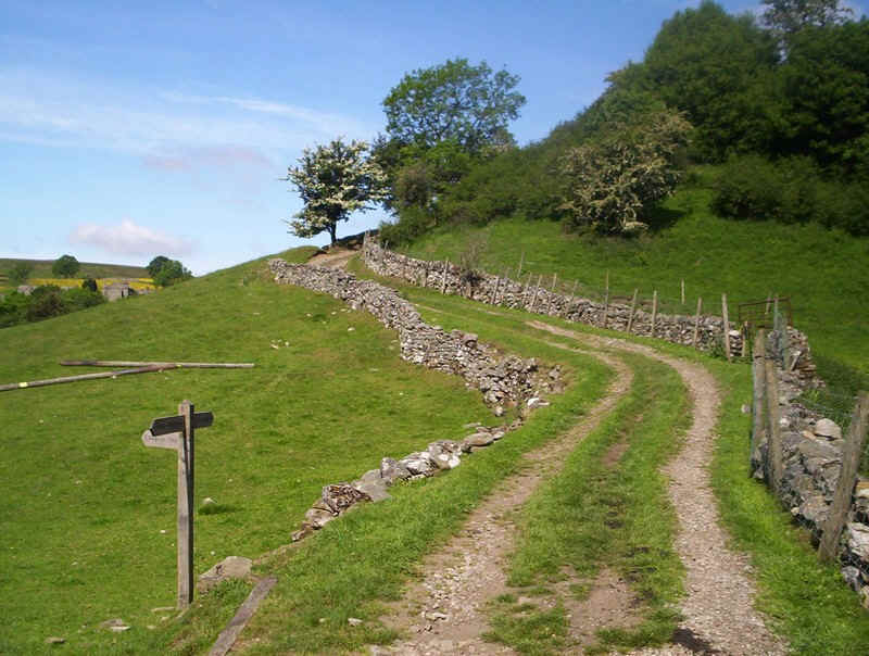
The Acorn confirms the way....
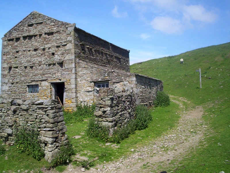
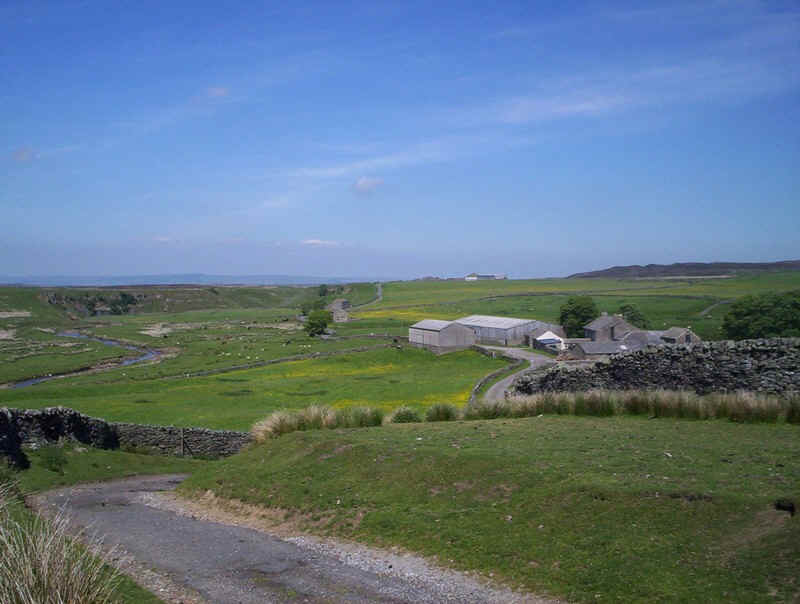
....as the track passes this barn with the distinctive "jutting out" stones of this part of the North of England.
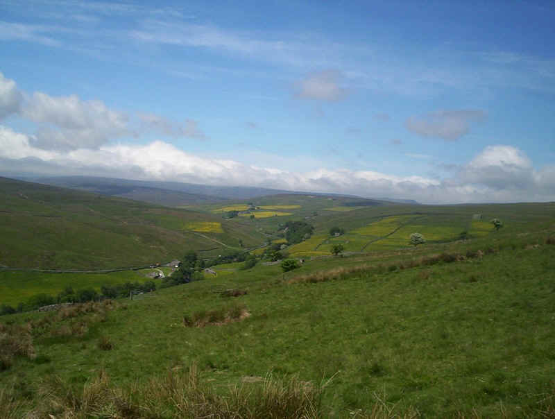
Looking up to the head of Swaledale with what, I think, is Wild Baugh Fell and it's distinctive steep face in the right background. The road is the B road from Richmond to Kirkby Stephen.
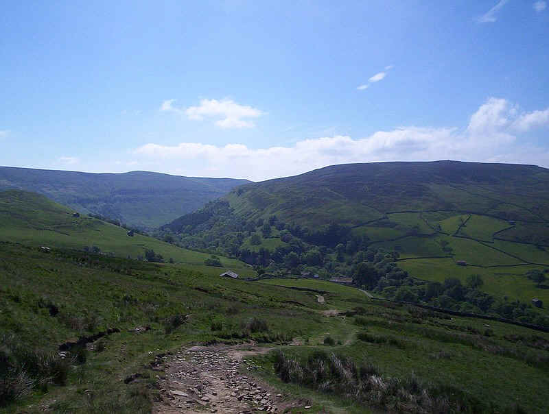
A look back at Kisdon Hill on the right with the previous day's walk skirting the hill through the trees.
Looking back along the west side of Kisdon Hill with Keld in the foreground.
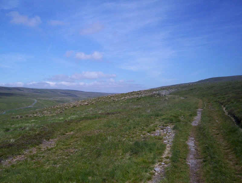
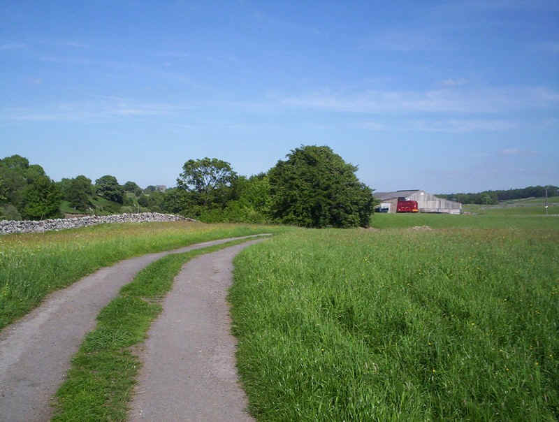
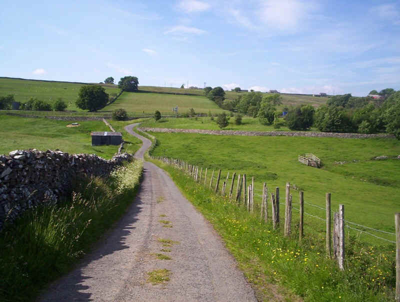
For the next three kilometres or so the PW is a broad track running almost level ....
....as it heads northwards....
.... along the east side of West Stones Dale with the hamlet of the same name below.
The easy path continues towards some barns....
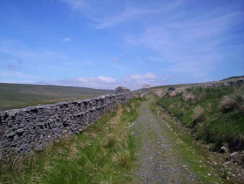
.....and then for a short distances follows this wall.
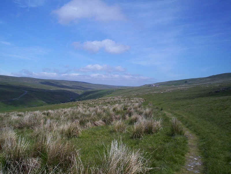
Back on the open moor again...

.........the wide open moorland must be a bleak place in bad weather but today is a delightful place to be.
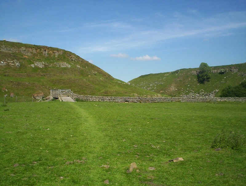
Eventually, the path drops down to a bridge with a stile over Lad Gill and then climbs to reach....
.....this section of what appears to be the old road from Keld to Tan Hill.
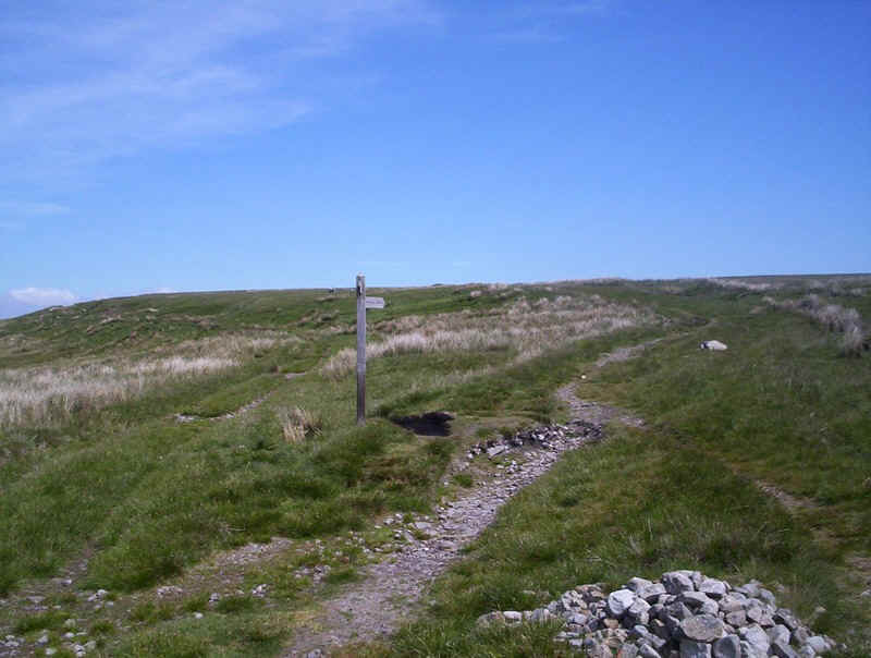
The PW branches off after a short distance....
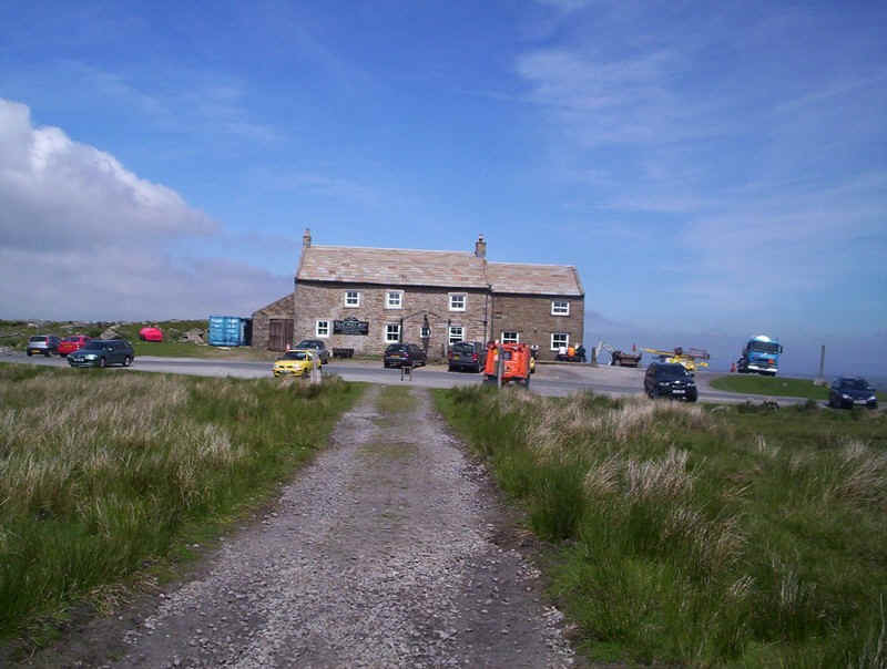
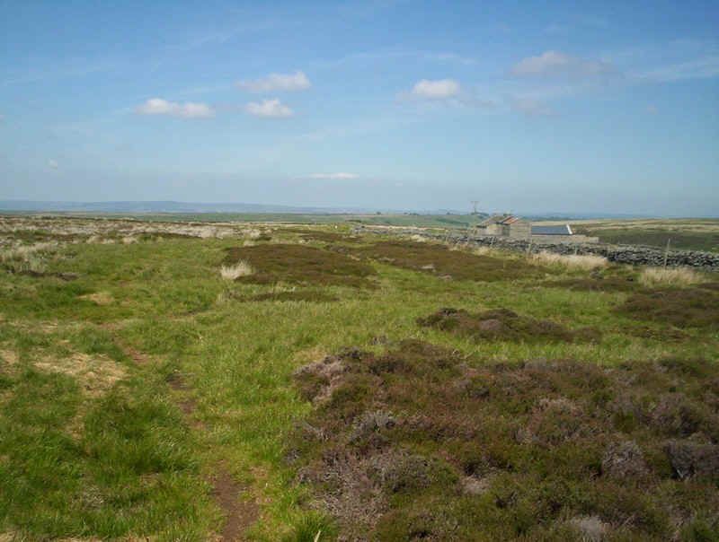
.....and the highest inn in England comes into view at Tan Hill.
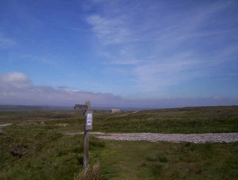
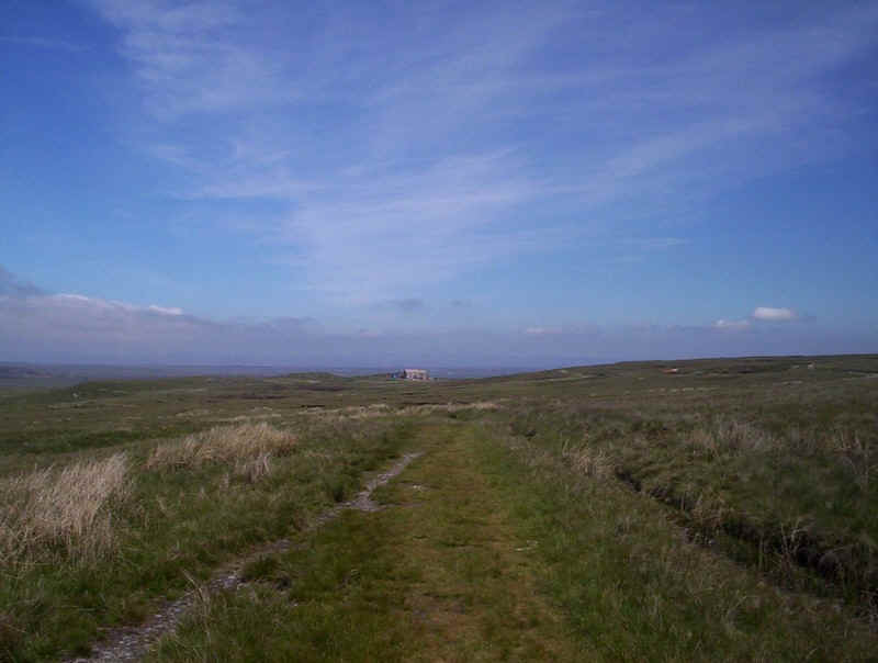
The path joins and old lead mine track...
.....and heads straight for the Tan Hill Inn! This is the point when the PW finally leaves Yorkshire and enters County Durham.
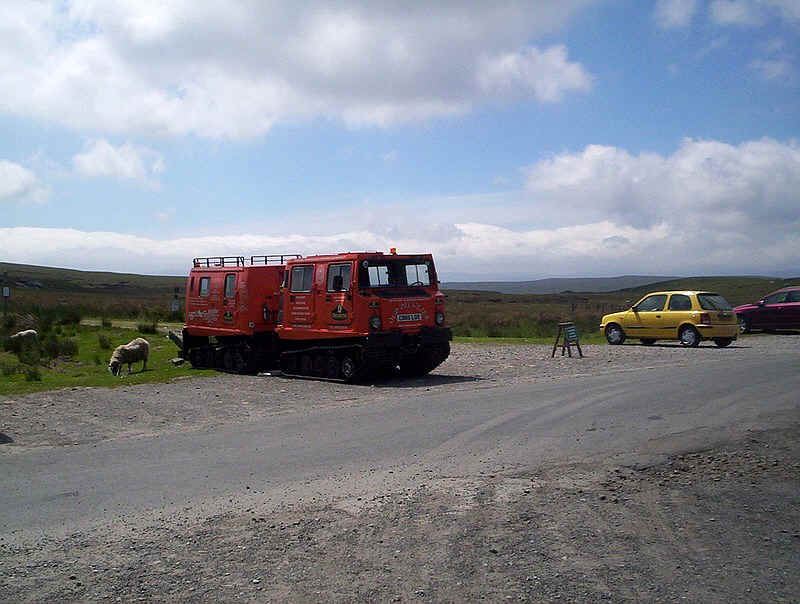
The snow cat and its trailer is obviously ready for action when it next snows.
Like most PW walkers, I suspect, the appeal of a drink and some food drew me in to the pub. Let's just say it's a rather unusual place, but the food was good and cheap. There's a dedicated PW walker's book to sign and I noticed two others had preceded me that day. I was to meet them later at the hotel in Bowes.
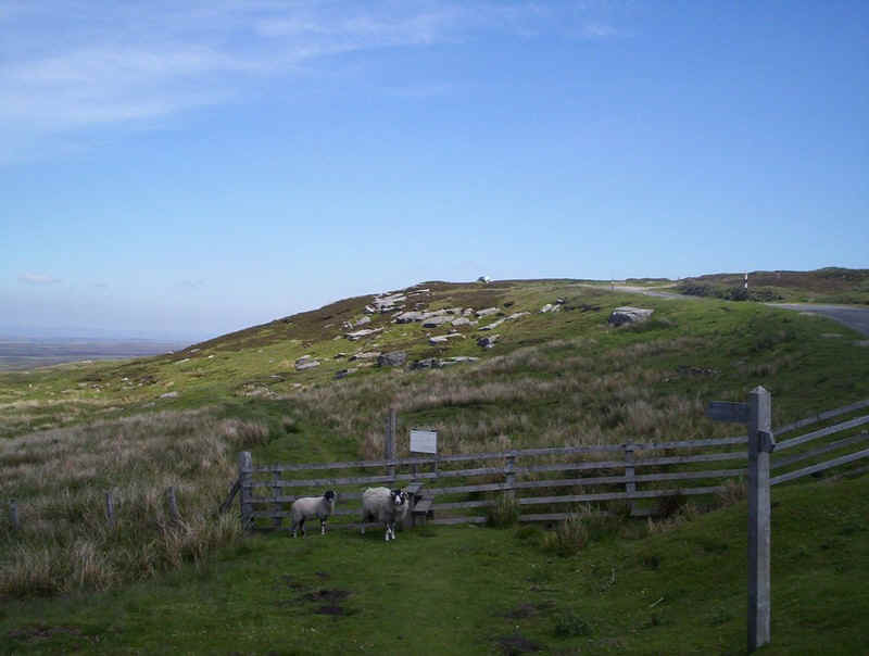
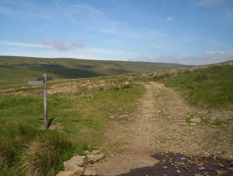
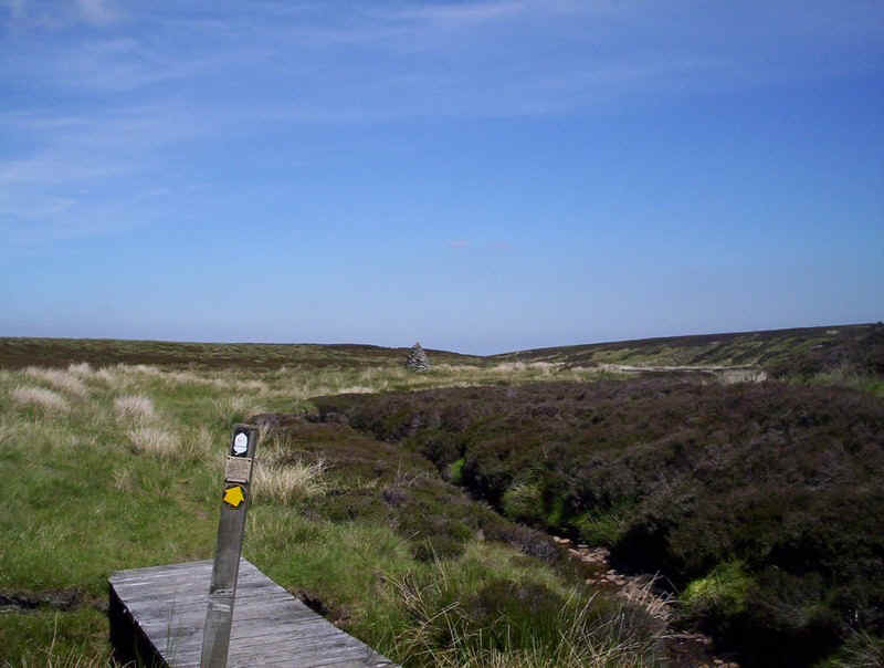
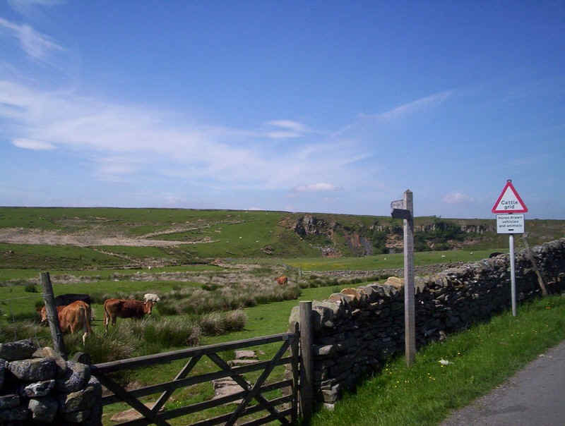
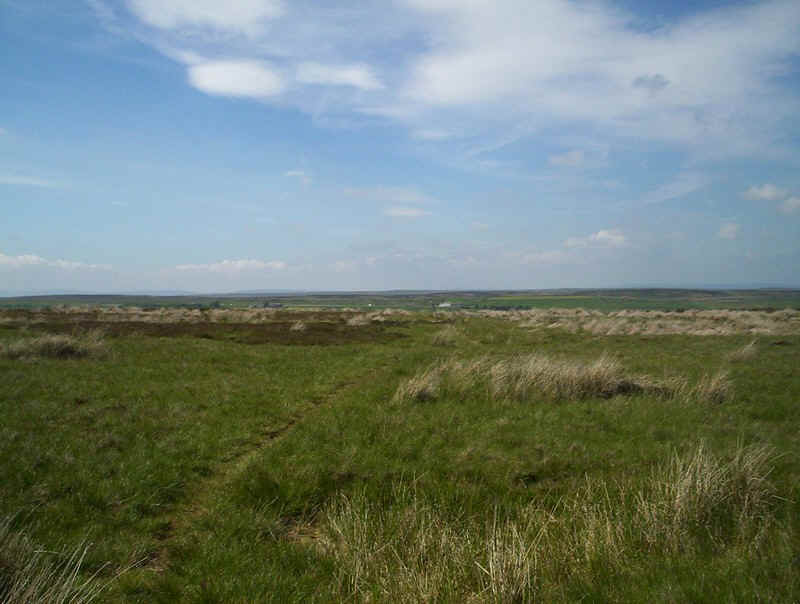
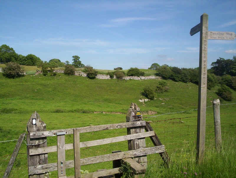
Beyond Tan Hill the character of the PW changes as it makes its way across Sleightholme Moor. In very wet or bad weather walkers often chose to follow the road and land-rover tracks rather than cross the boggy moorland (the sign by the stile explains the options). In the dry conditions of June 2010 there was absolutely no difficulty keeping dry feet.
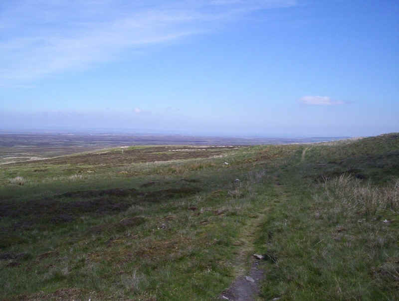
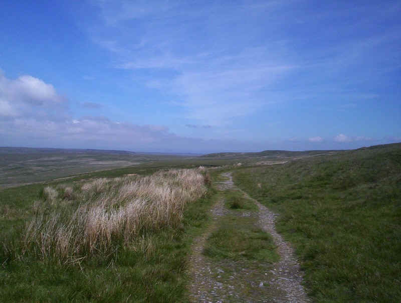
This photo gives an impression of the extent of moorland to be crossed - there's nearly 5km of uninterrupted and almost featureless moor to navigate across. There is a fairly clear path.....
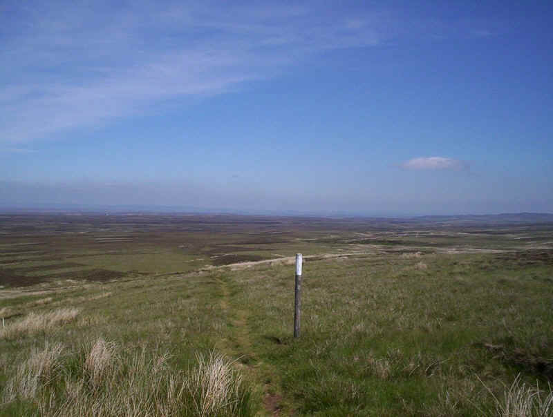
....helped by the odd white topped post....

......with just the odd feature to note; a stone sheep pen,.....
......this bridge and a large cairn....
....until eventually the track reaches a land-rover track.
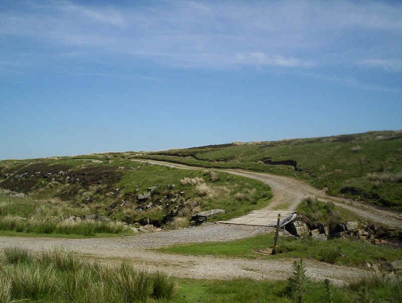
Crossing a bridge the track....
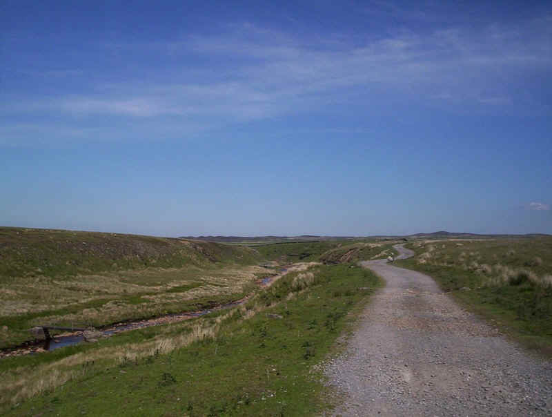
.....follows Dry Gill before climbing away from it and then....
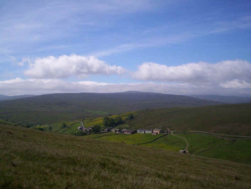
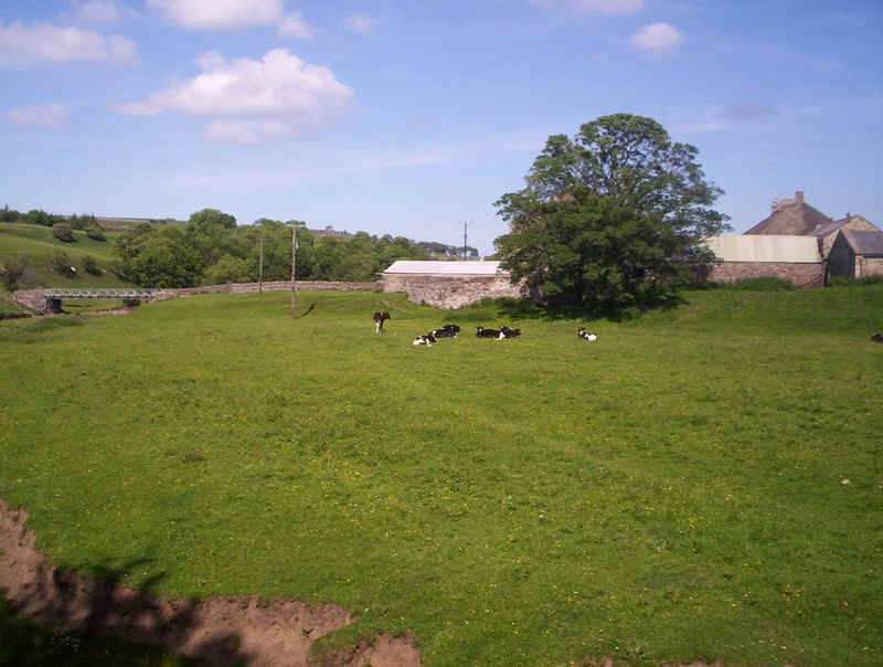
.....dropping down to Sleightholme Farm.
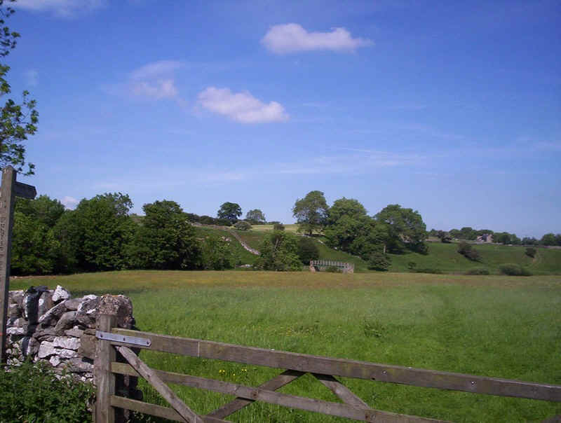
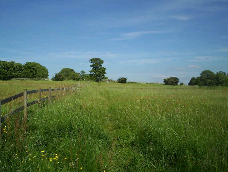
Just beyond the farm the PW leaves the paved lane to cross fields...
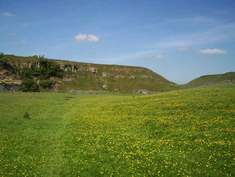
.....covered in wild flowers. This dazzling display will be a feature of the rest of this day's walk and also the next stage on to Middleton-in-Teesdale.
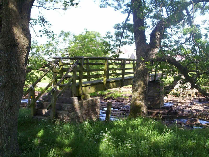
There's a bridge over the stream and some interesting.....
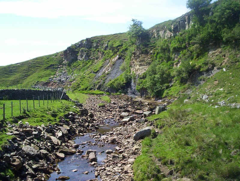
....rock outcrops; not much water though.
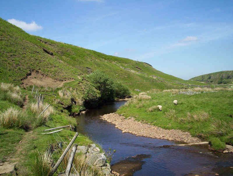
The path follows the river bank before....
......disappearing. I made my way uphill to reach....
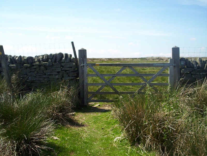
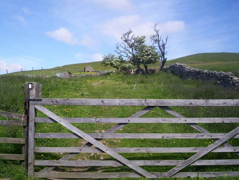
.....this gate in a wall and.....
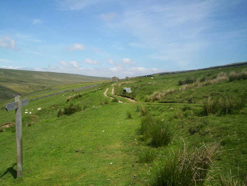
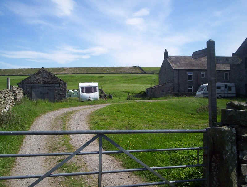
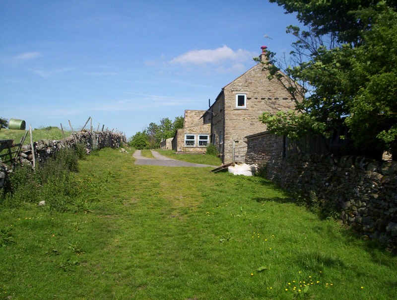
.....then followed the now clear track towards the farm at trough Heads.
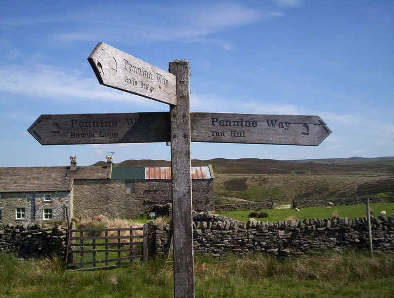
It's here that the original PW route heads north but I was taking the alternative Bowes Loop path.
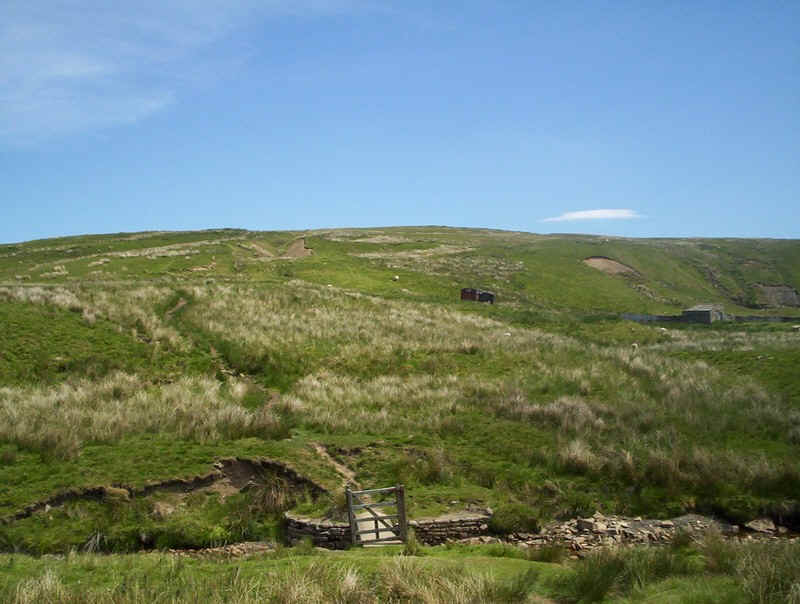
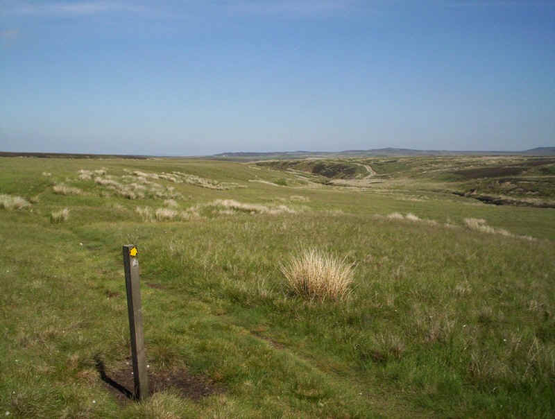
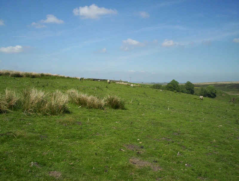
Once again it's across moorland.....
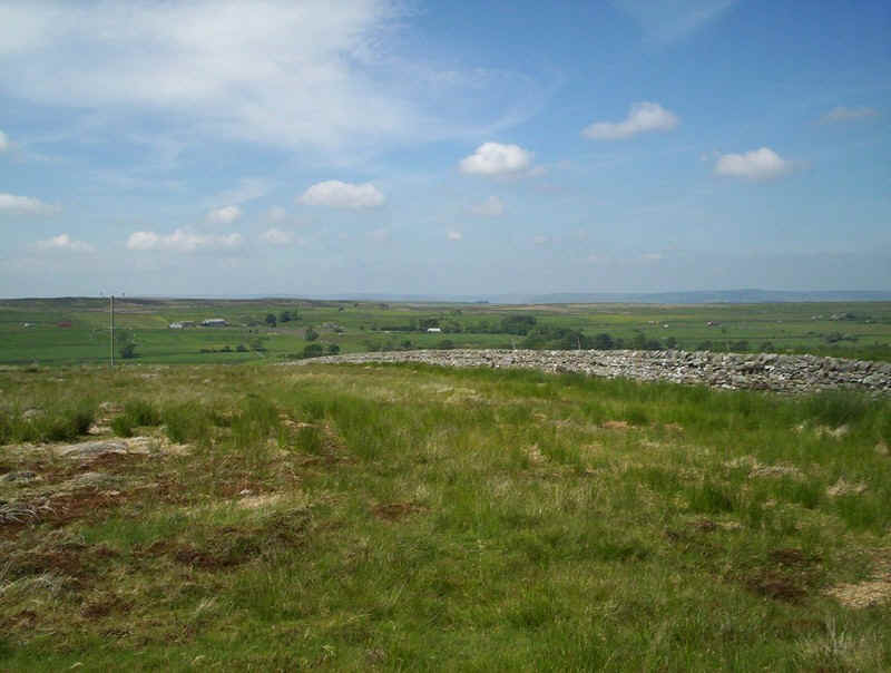
.....before joining a wall as the PW...
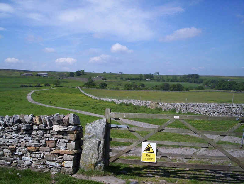
.....heads towards the A66 road. The sign on the gate has clearly been there some time but seems rather walker unfriendly. Strangely the paths from here become almost park-like. Following the curved prepared path...
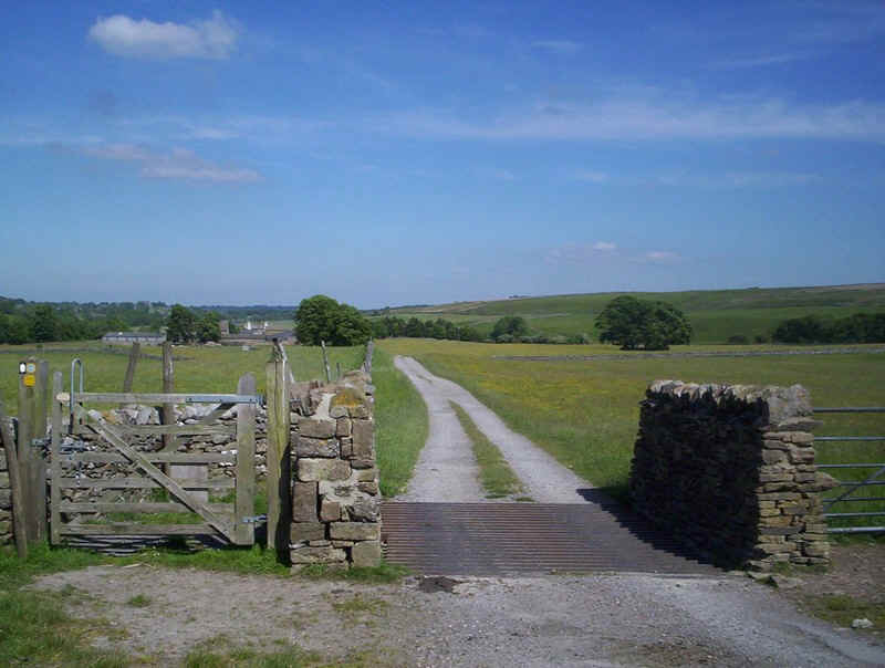
.....through the gate and along the track down to East Mellwaters farm...
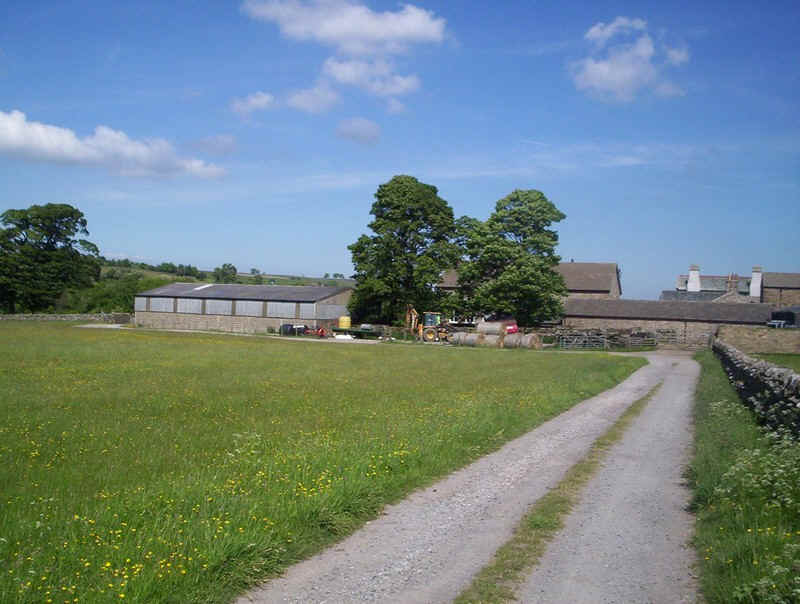
.....it loops around the buildings....

.....and then down the lane to this bridge where the PW sign directs us towards Bowes.
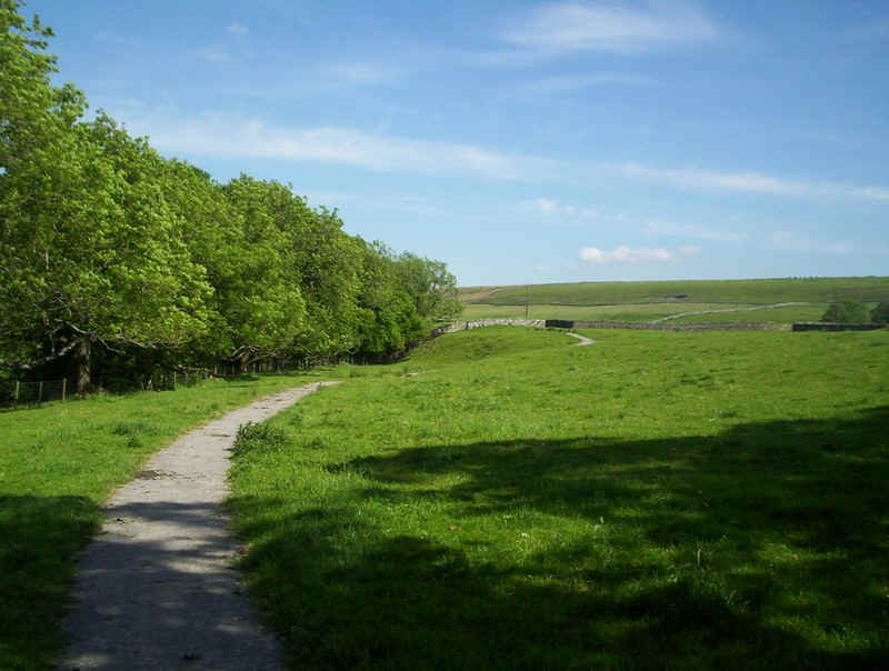
Yet more beautiful paths lead on....
....near the River Greta until....
.....this bridge appears on the left almost hidden by trees. Don't miss it like the two walkers I met later or the path will take you along a dead end and almost back to the farm.
Once over the bridge the PW crosses the field to pass...
in front of West Charity Farm...
....where it then turns along this lane towards...
......Lady Myres farm.
The path then crosses another field to a footbridge over the River Greta...

.....where it climbs uphill slightly to reach....
.....Swinholme farm.
The farm lane heads straight towards the A66...
.....but the PW now makes one final turn eastwards, crosses a stream...
.....and heads through meadows....
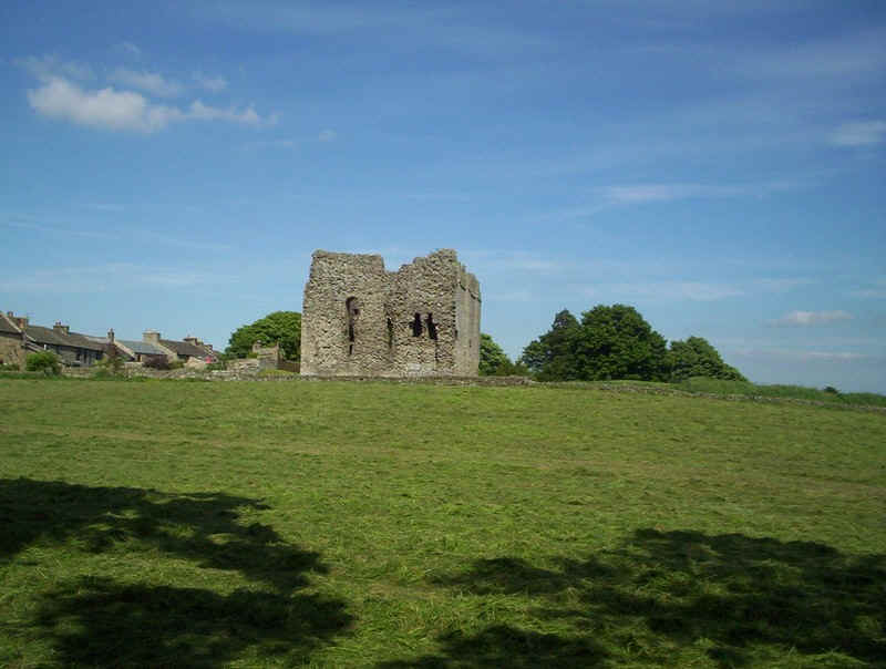
....to reach Bowes Castle. As the grass had been cut ready for hay-making, and there were no way marks I guessed that the path would end somewhere near the castle.
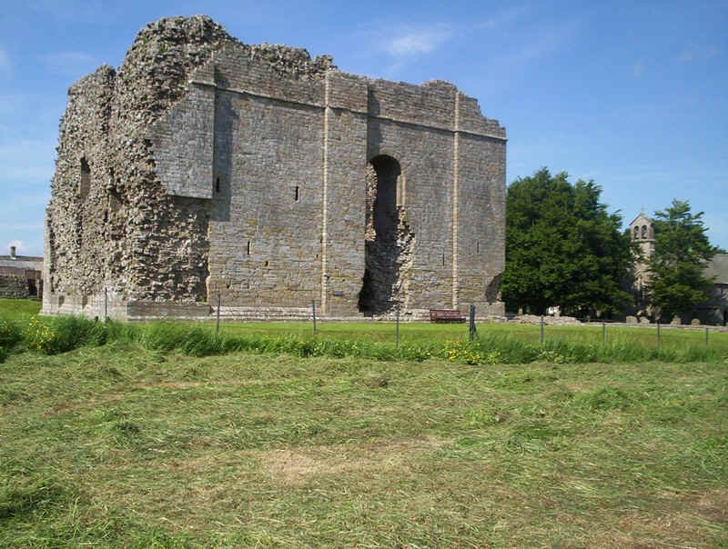

Close up the castle is quite impressive and free to enter.
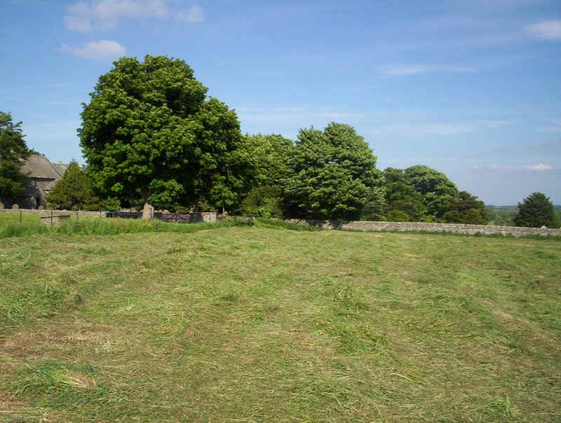
The PW heads towards the gate in the corner of the field....
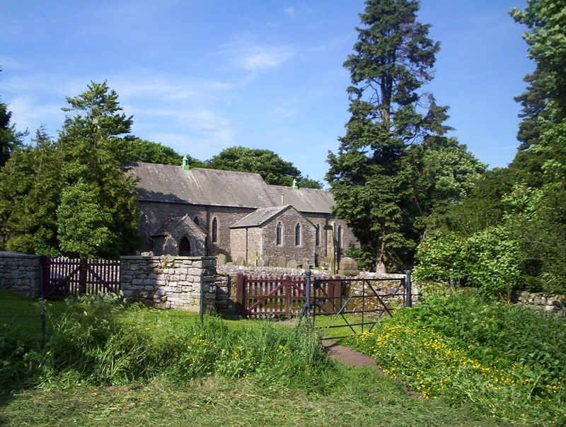
.....to emerge on the lane near the parish church.
The section from Keld is not the best of the PW days, but is certainly one where the map has to be used to navigate through fields. Signposting is also noticeably poorer in County Durham than further south.