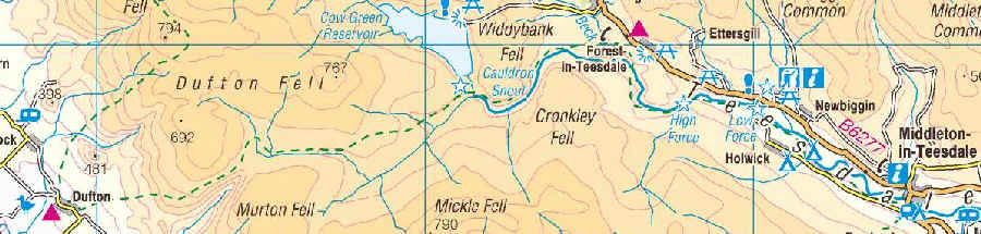
Middleton-in-Teesdale to Dufton
Click here for link to a GPS map of this section of the Pennine Way on Google maps
For the next three days of the Pennine Way, as far as Greenhead, I was given transport and baggage carrying support by Fran. We drove to Middleton-in-Teesdale and then Fran transported my spare clothing and other necessities to Dufton, where we stayed overnight. The next day she moved on to Alston where we stayed and, finally, met me at Greenhead and drove me home.
If I hadn't had this support it would have meant a bus journey to Middleton-in-Teesdale, another overnight stay there, to allow an early start, as well as bus and train journey home from Greenhead. It is possible to reach Dufton three days a week by bus, and Alston has moderately good bus services to Carlisle, Hexham and Haltwhistle, so it IS possible to do all three days separately using public transport with careful planning.
Anyway let's get on with the walk itself, for this day includes no less than four of the outstanding geographical features of the Pennine Way; Low Force, High Force and Cauldron Snout waterfalls as well as the incredible High Cup Nick. It's a long 21 miles, but full of interest.
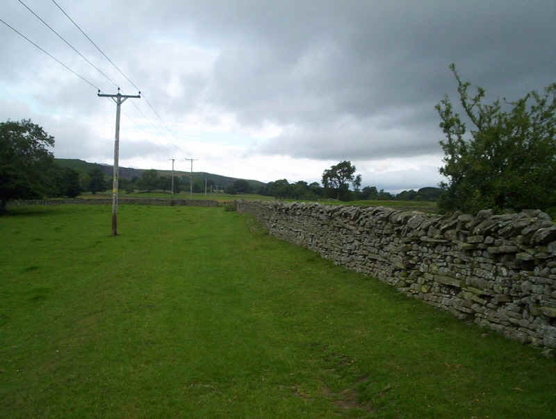
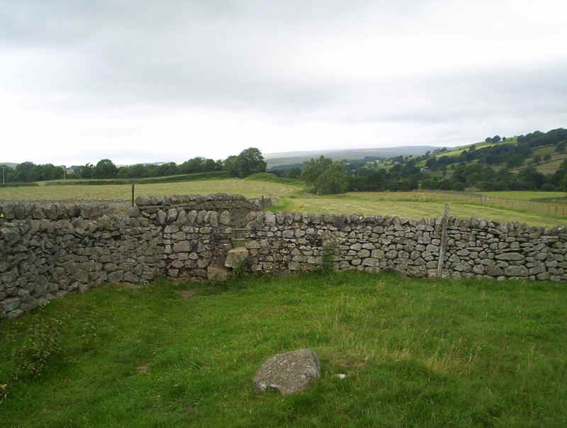
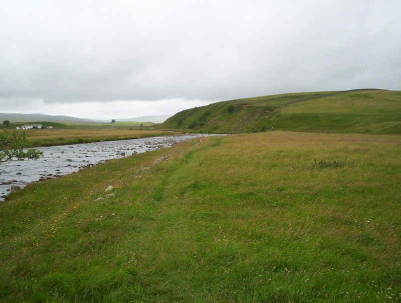
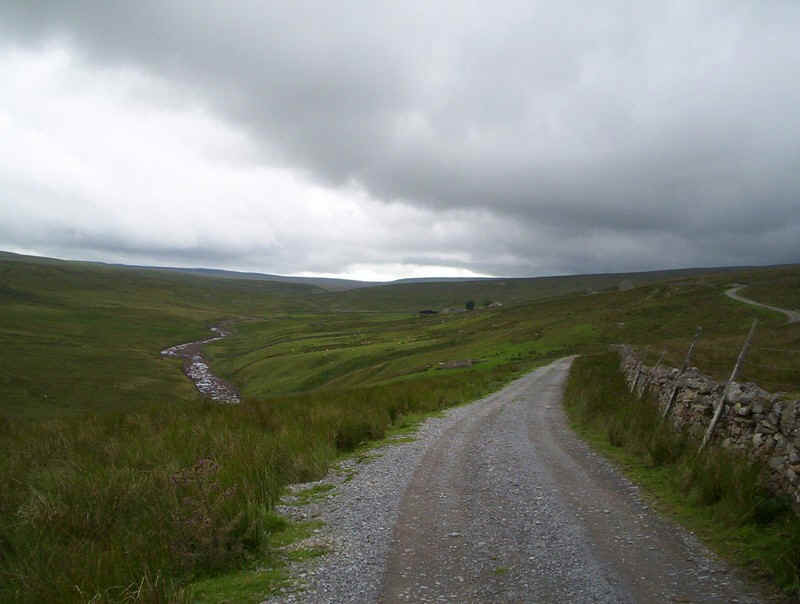
The PW leaves Middleton near the auction mart and follows the west bank of the River Tees, initially through fields.
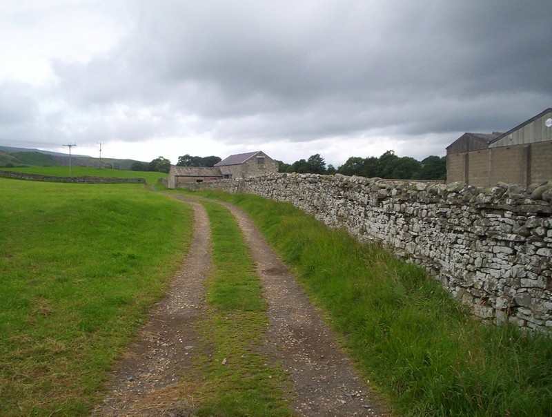
It starts of as a broad track....
....but soon becomes a field path....
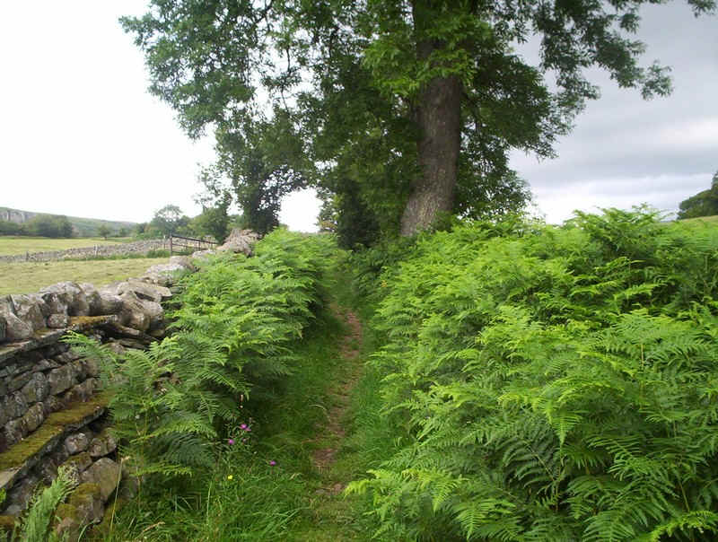
.....and, in high summer, often surrounded by dense vegetation.
At this stage, the PW is some distance from the river as hay meadows are crossed....
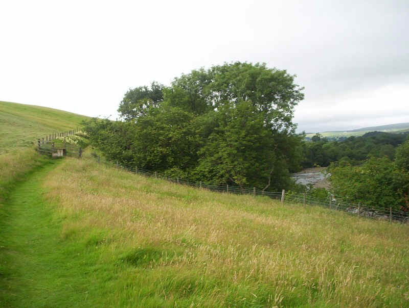
......but the Tees soon comes back into view.
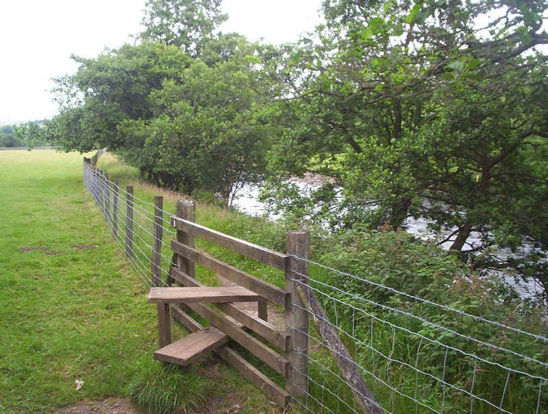
After dropping down to almost water level, a stile is crossed....

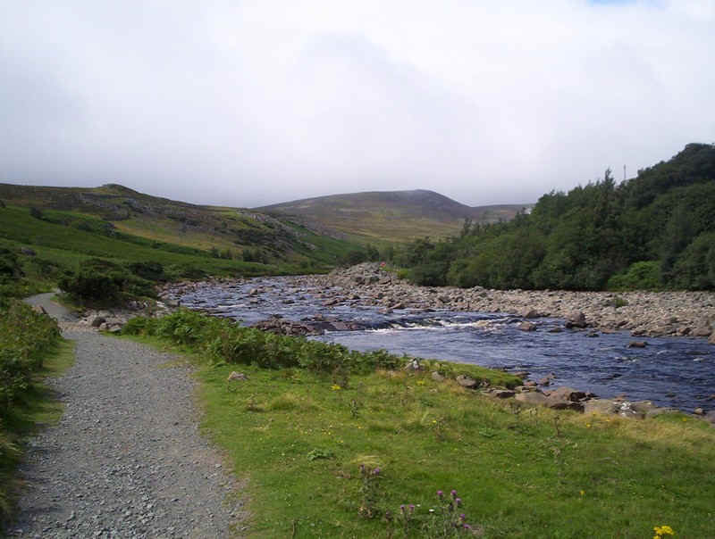
......as the first of the geographical features of the day is approached. The view is of the Tees, looking downstream from one of the footbridges across the river.
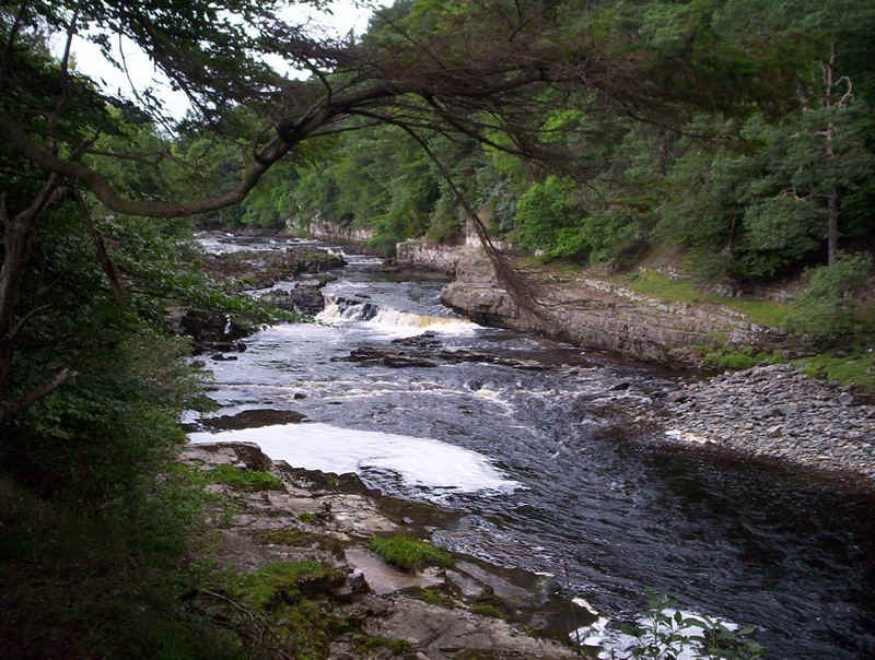
The Lower Falls begin quietly enough...
.....but gradually increase in size....
......whilst another bridge allows a view of this rocky section looking downstream, whilst in the opposite direction....
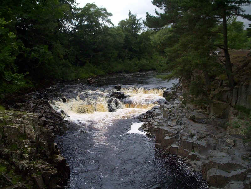
......the upper two of the torrents can be seen.
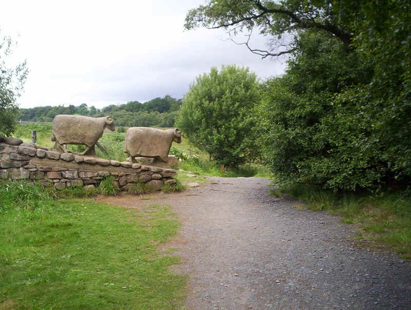
The footpath here has been urbanised, whilst these two carved sheep just reinforce this feeling.
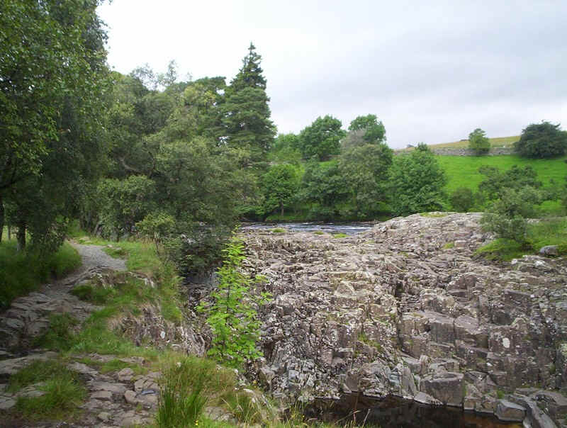
The PW now passes an unusual geological feature, the dry up river bed of part of the Tees, and the rocky outcrop of a waterfall. It would appear that this section only contains water in times of extreme flood. This view is looking upstream....
.....whilst this is looking downstream from the "dry falls".
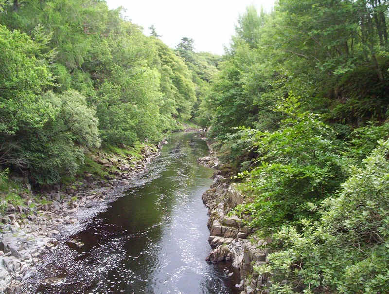
Above Low Force, the river becomes more tranquil...
......but the path soon starts to climb, and the sound of High Force itself can be heard.
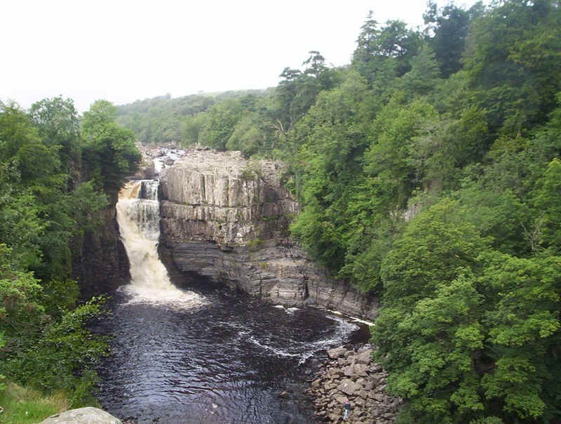
High Force, the largest (although not the highest) waterfall in England.
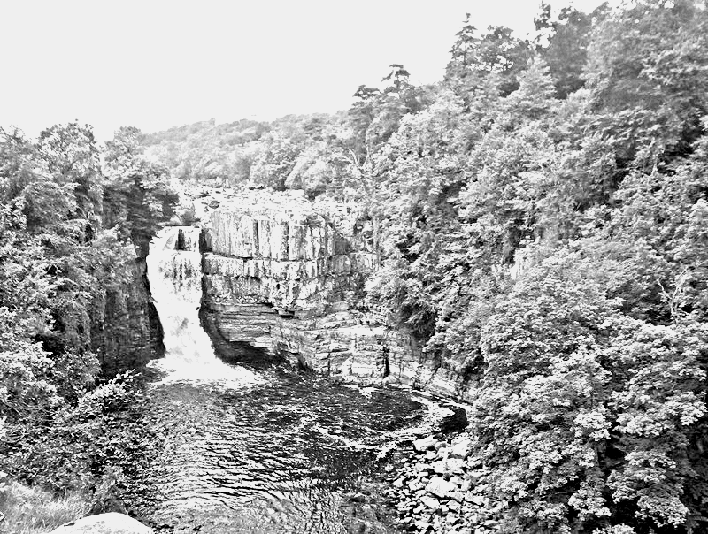
And the same image converted to a pencil sketch.
Looking down from the top of the falls.
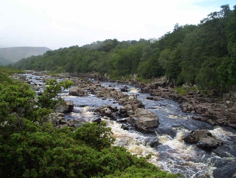
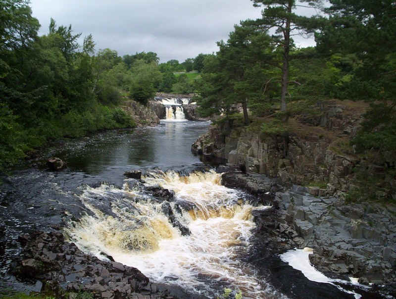
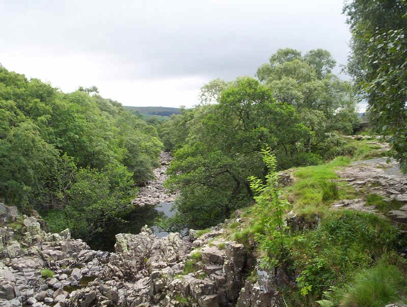
Immediately above High Force, the Tees is a mass of jumbled rocks and torrents....
......but soon becomes less frenetic.
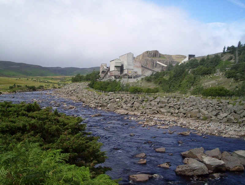
There's a working quarry here, with a sign telling walkers on the path to take cover when the siren sounds - but where to take cover?
The PW now crosses grass again.....
.....and two footbridges...
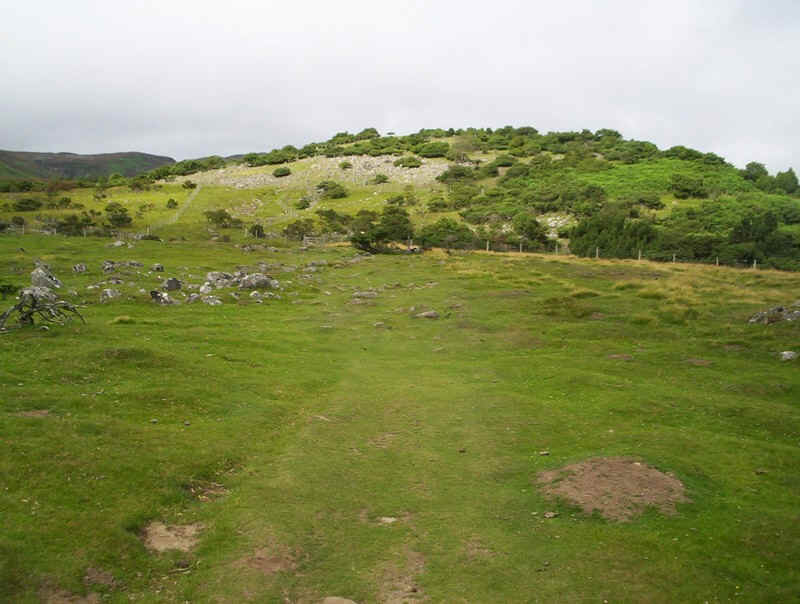
....as it climbs Bracken Rigg,....
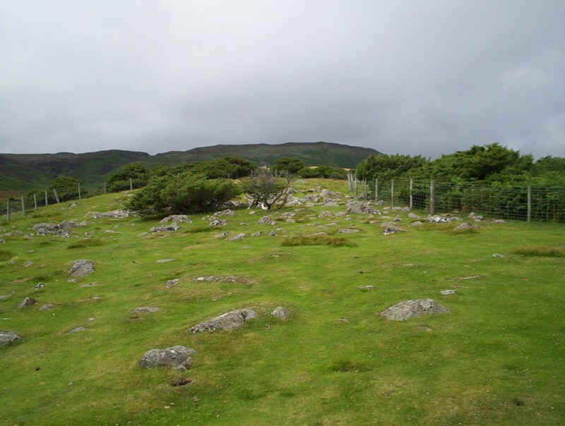
.....curiously, between two fenced areas.
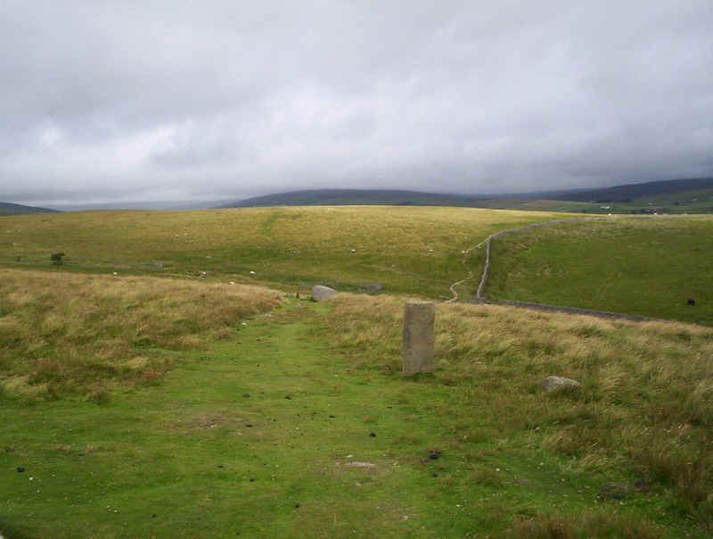
Stone PW markers show the way forward...
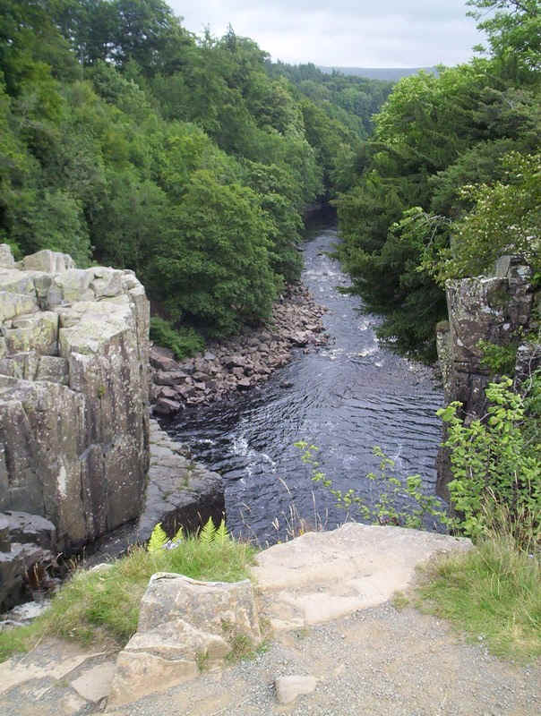
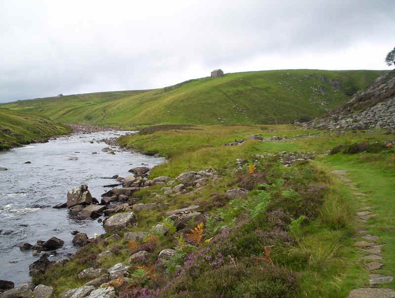
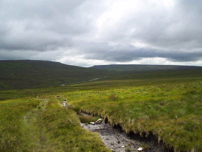
....whilst over to the east, there's an interesting view of the Tees.
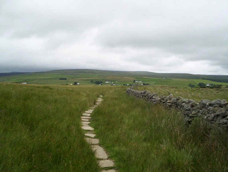
A short paved section ......
......and a view of the bridge over the Tees that is the next objective. I now have to admit that, for the first time on the Pennine Way I completely lost my way. I suspect I missed a marker just before I took this photo, so rather than show where I went (and the field gates I had to climb!) the photo below shows where I should have gone!
In the photo above I've gone just a little too far over the hillock....
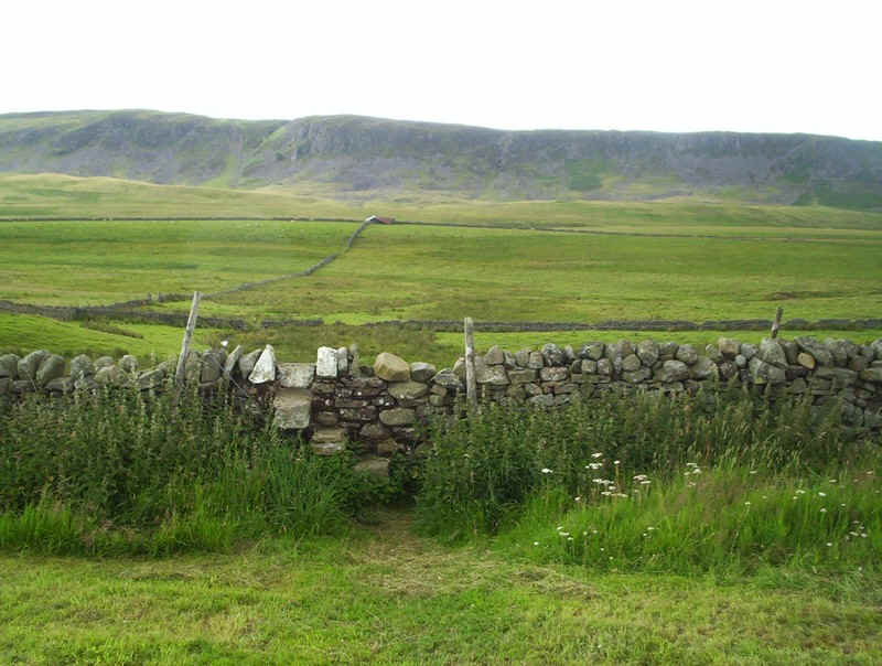
.....that lies behind Cronkley Farm. The PW goes over a wall in the gap between the two woods above the barn. It then follows the farm lane down to the bridge.
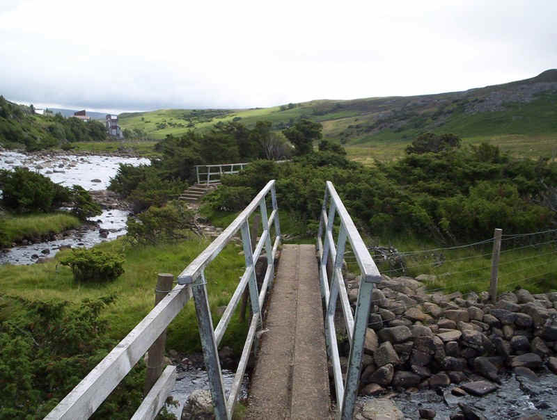
Anyway, have recovered from my humiliation at losing the path, I decided it was time for lunch just across the bridge...
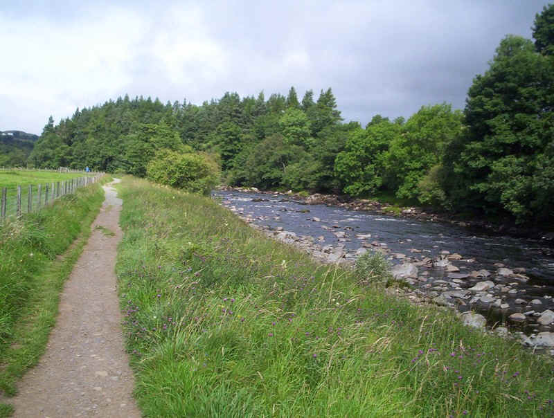
.....by the side of the Tees. The PW now follows the river's east bank until just beyond the confluence of the Tees and Langdon Beck...
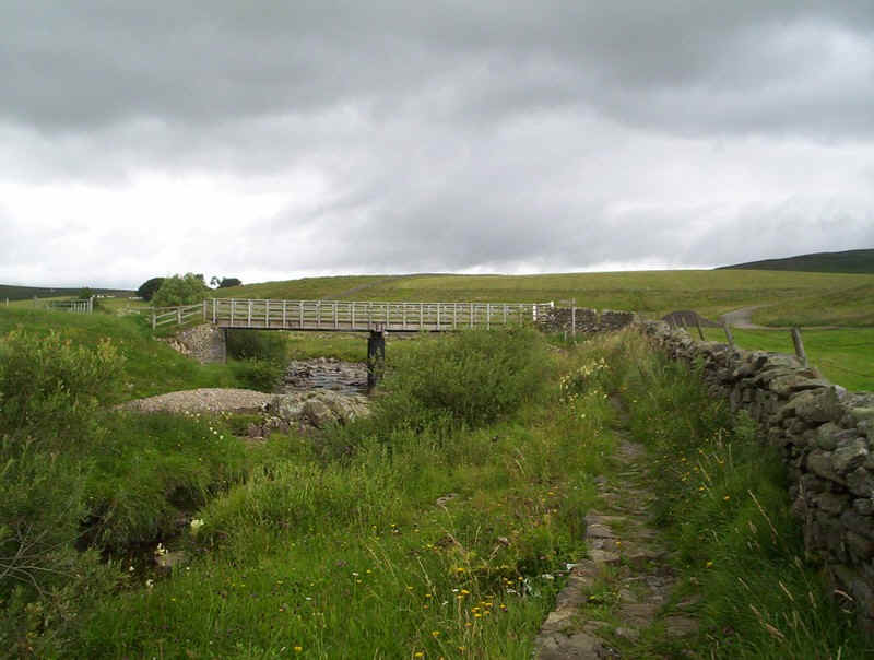
...where it crosses the beck on a bridge leading to....
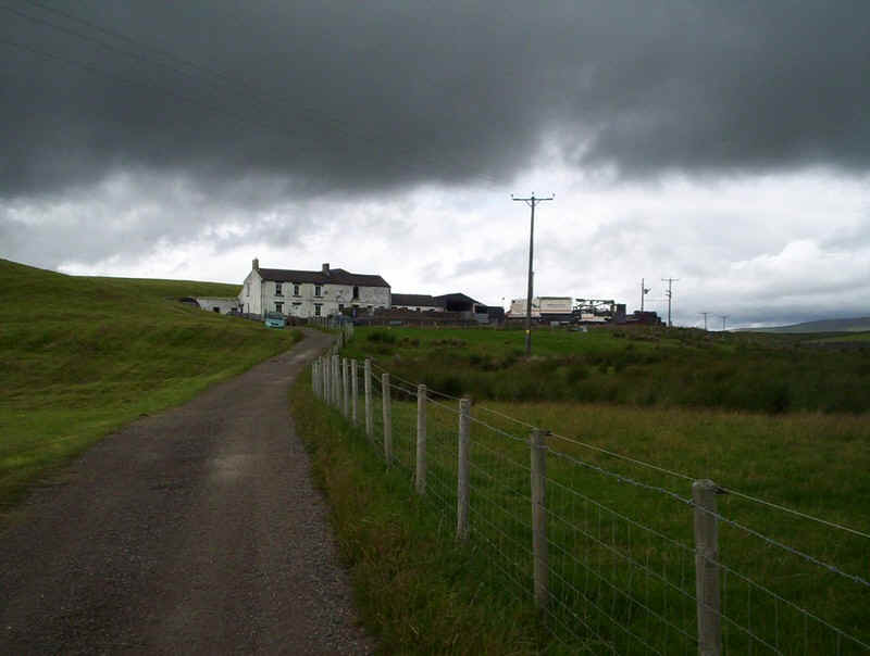
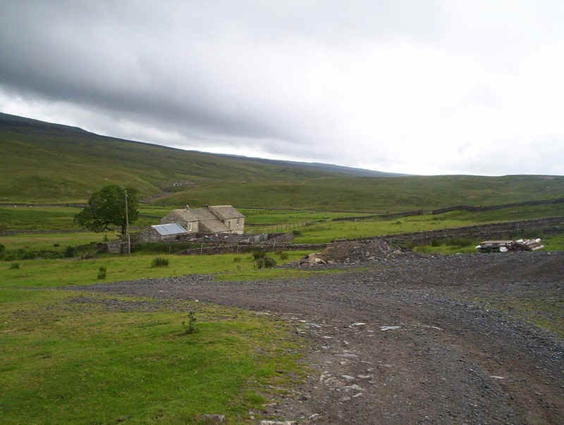
....a farm (strangely not named on the OS maps).
Here lives a vicious looking and sounding dog, which came charging out of the farmyard snarling away. Once again, my walking poles proved a deterrent as I banged them together.
The path doesn't go into the farmyard but runs up the side of this fence. The hound in question can just be seen, as I look back to see he's not still following me.....
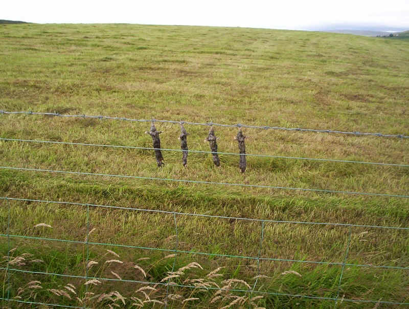
Hanging from the fence were these dead vermin, which seem quite a common feature of remote Pennine farms.
The PW crosses a stile and....
......heads across moorland ......
.....towards the Tees.
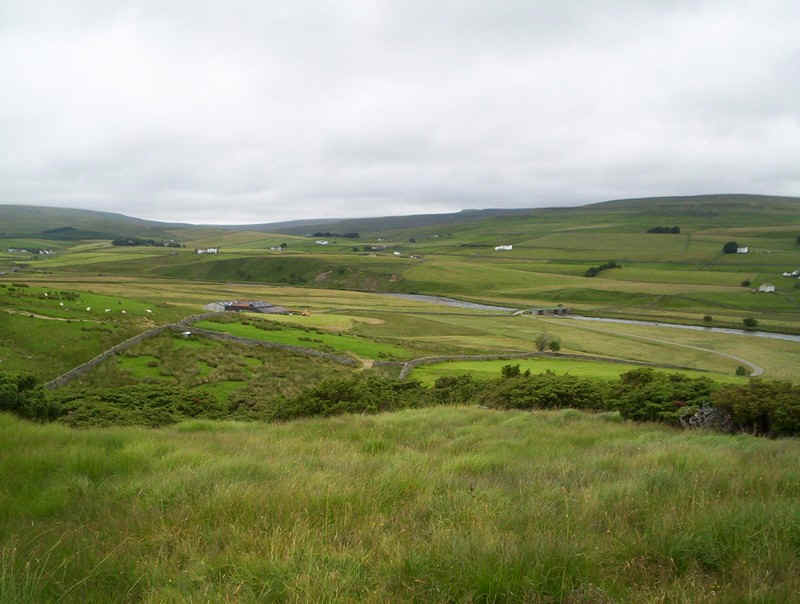
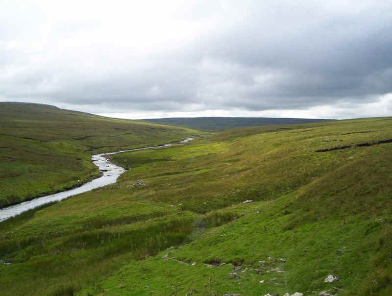
The path has been diverted to avoid Widdy Bank Farm, and follows the river bank closely....
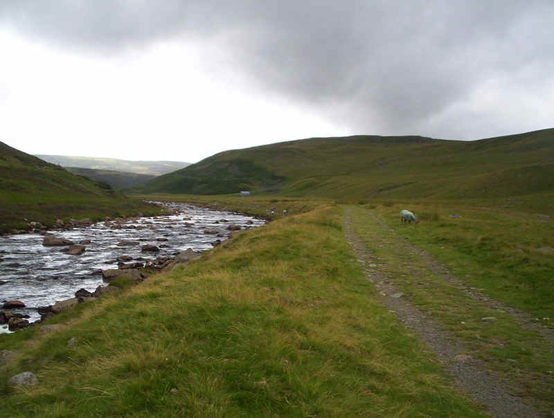
.....to reach a broad farm track. The scenery looks almost like a Scottish glen .
In places the path clings to the bank.
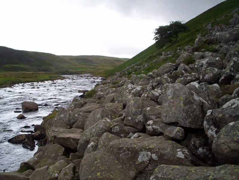
Not surprisingly, it's not all easy going and this is the first of several tricky sections of boulders to be crossed....

.....alternating with slabs and duckboards...
......and more scrambly bits beneath Falcon Crags.
The valley opens out here, and the PW heads away from the river ...
....across slabs...
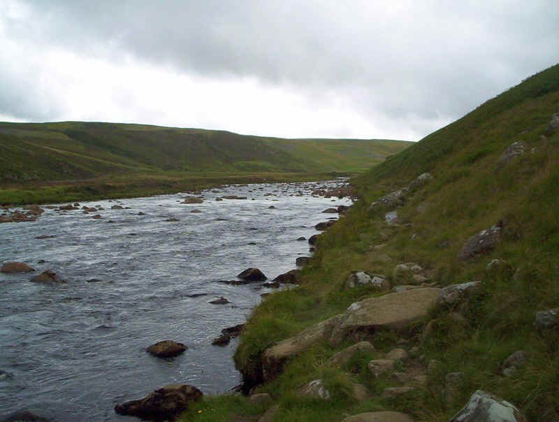
.....before returning to the bank at the end of the Tees's meander.
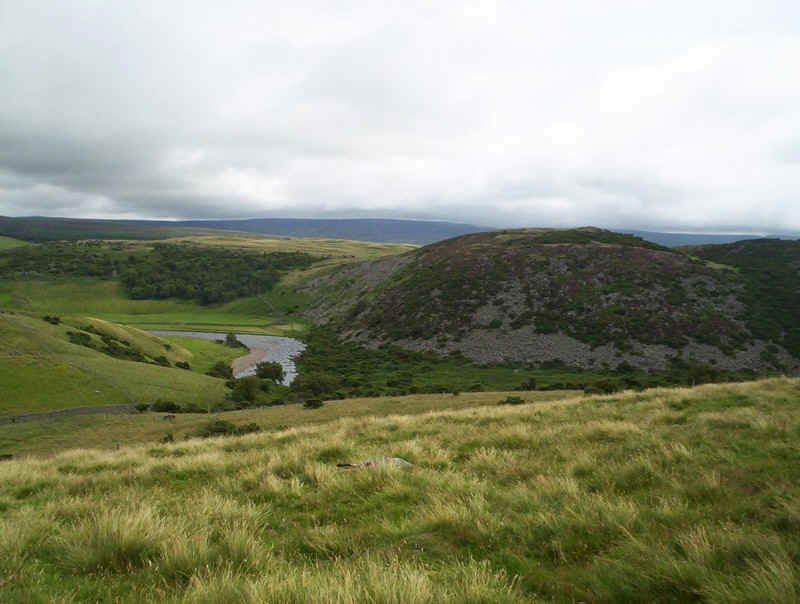
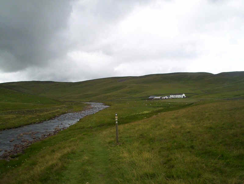
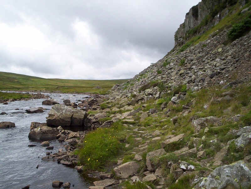
Excitement is mounting now, as the PW approaches the confluence of the Tees, which flows in from the right, and Maize Beck, which goes straight ahead. Just round that bend is one of the most stupendous sights in England.
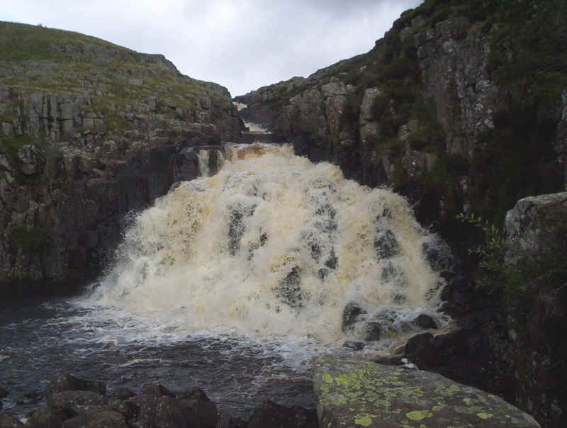
Cauldron Snout, where the Tees cascades down through this gorge.....
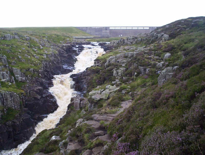
.....with the dam of Cow Green reservoir above. The PW scrambles up beside the waterfall - the brave will keep close to the water, whilst people like me will find a line further away.
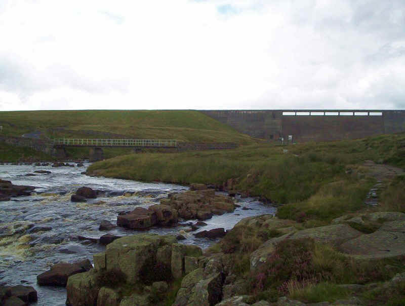
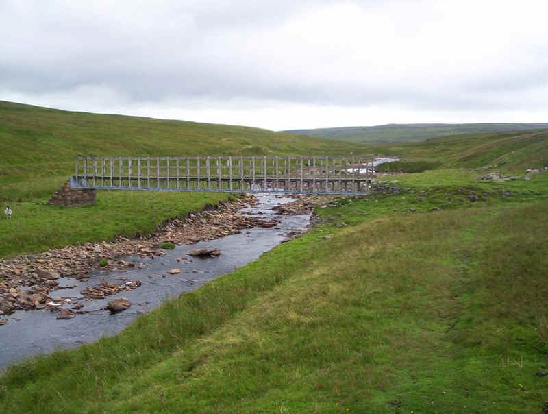
Once at the top the bridge carrying the farm track to Birkdale is seen, which.....
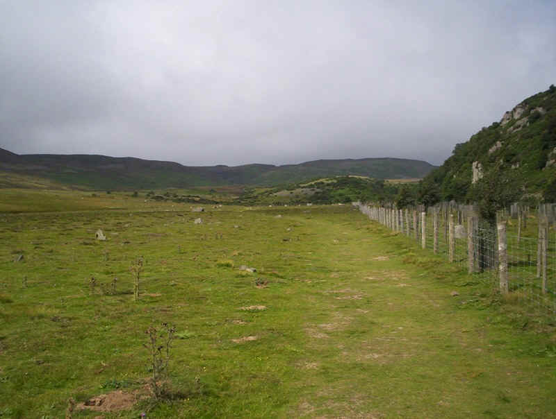
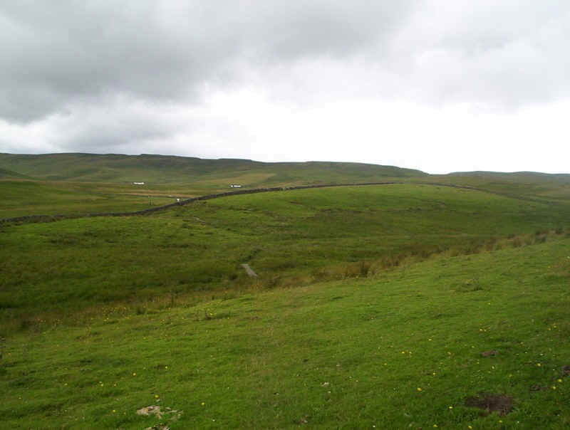
.....follows the valley of Maize Beck out onto the bleak moorland.
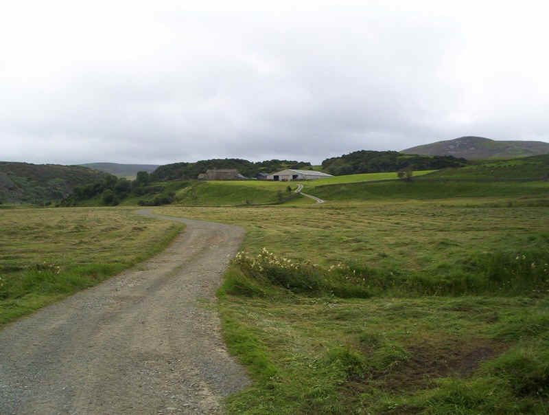
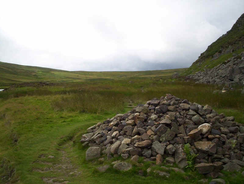
The PW winds past Birkdale farm.....
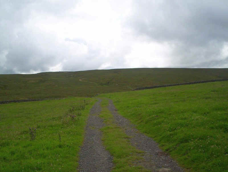
.....and out towards some old mine workings on the moors.
Leaving the mine track the PW crosses Grain Beck and....
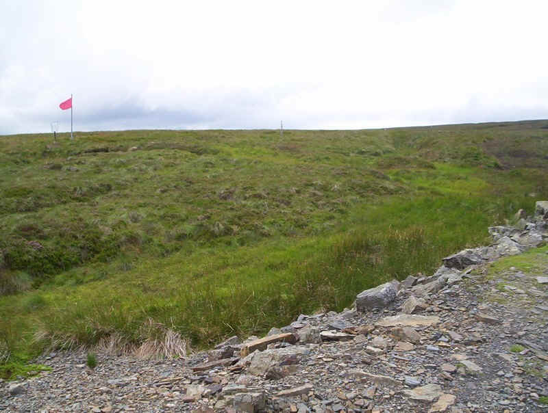
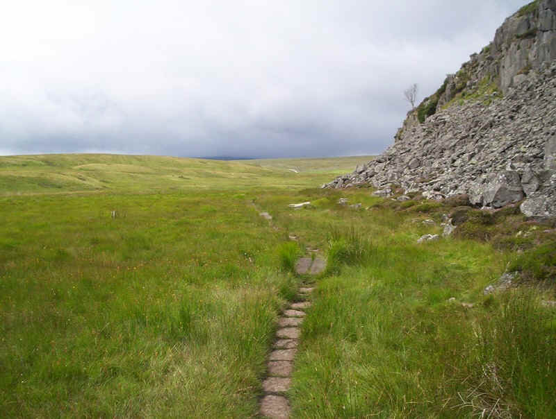
.....starts to climb, passing the flag at the edge of the Ministry of Defence's firing range. The PW parallels the edge of this for several miles, with numerous warning notices reminding people not to stray onto the open moorland.
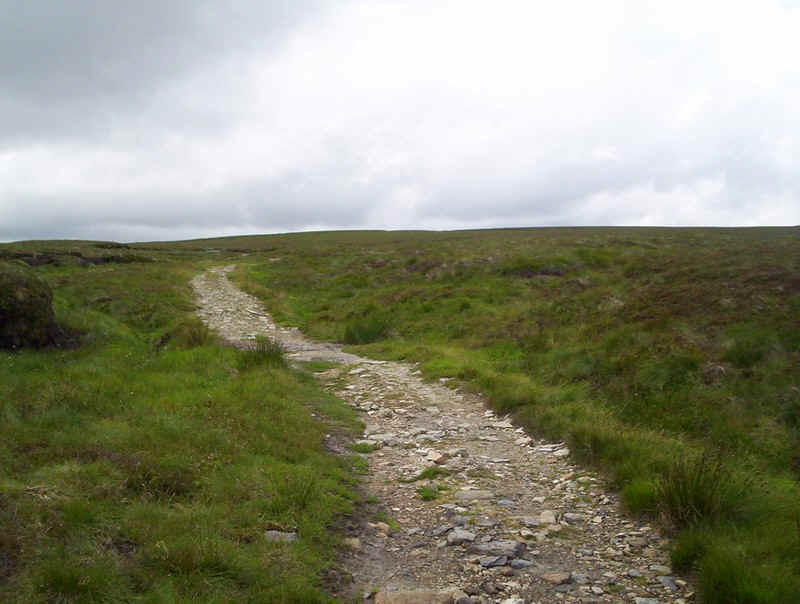
The path was also at one stage, obviously, a mine track.....
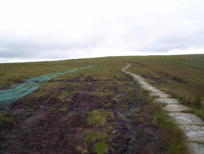
......whilst in other places slabs have been laid across the peat.
In places the path isn't terribly clear, so care would obviously be need not to stray off course onto MoD property!!
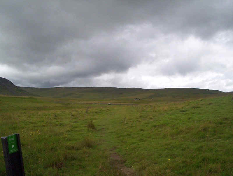
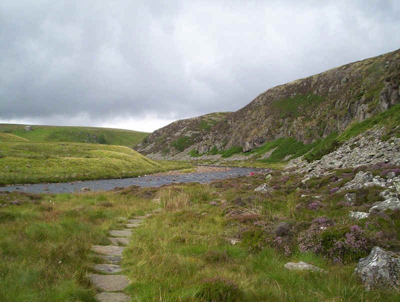
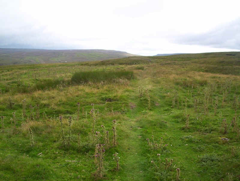
Eventually, the PW begins to fall downhill towards Maize Beck. In the distance can be seen the hills above High Cup Nick.
It's a pleasant enough section by the beck on a clear day, but in rain and mist this part of the walk must be dismal indeed.
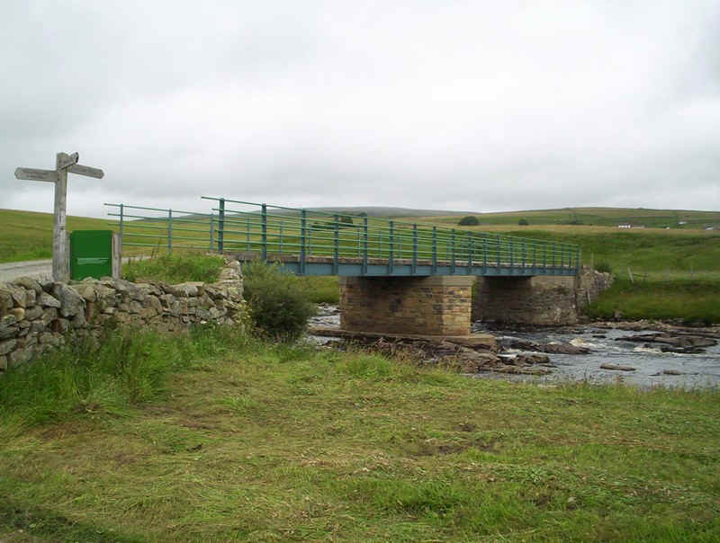
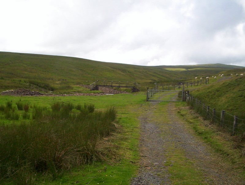
A relatively new bridge constructed, I believe, by the Army bridges Maize Beck and is clearly designed to cope with high levels of flooding. The alternative PW route carries straight on here but, having used both, I'd certainly recommend crossing the bridge.

There's a real feeling of crossing a pass here. This is one of the great watersheds of northern England, with the streams on this side flowing east to the North Sea, whilst beyond the crest the streams flow into the Eden and the Irish Sea.
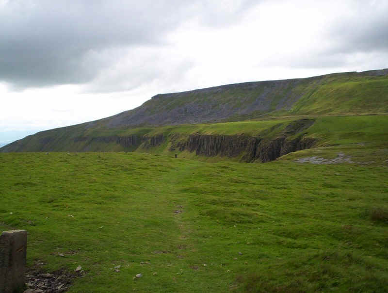
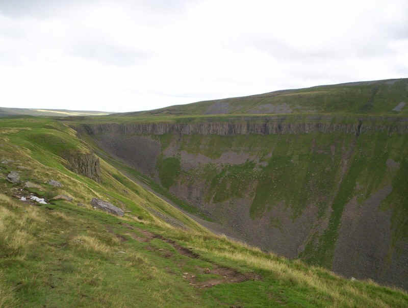
Nothing quite prepares the walker for High Cup Nick, even when it's been seen before. This was the first time I'd seen it from this direction....
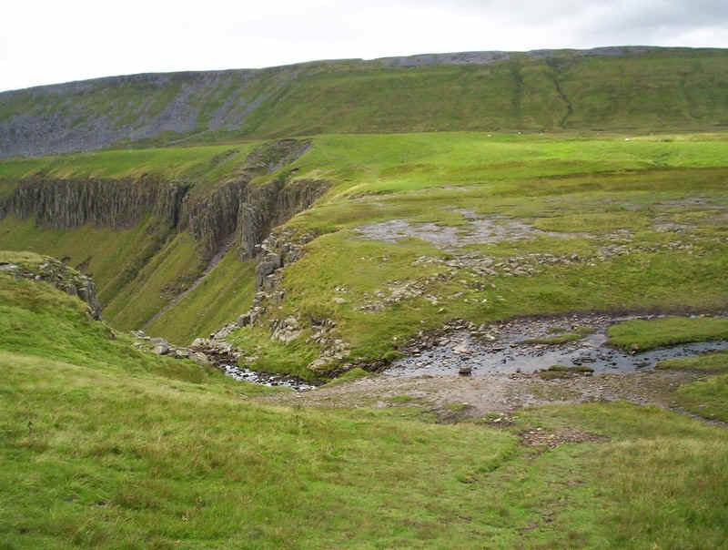
.....and it was interesting to see how small the stream is, that now flows over the lip of the crags.
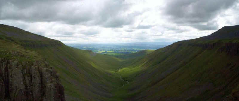
The classic U shaped glaciated valley leading down from the Nick is obvious here. It's a pity that the sky was so dark making photography difficult.
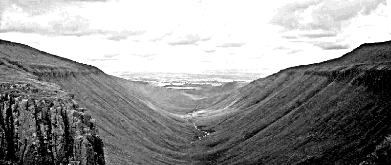
The image above is the photo converted by my computer into a pencil sketch.
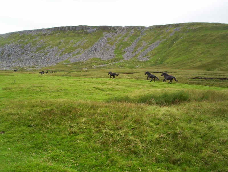
After a refreshment break, I set off on the last lap for Dufton. As I was wandering along, to my amazement, I heard the clatter of hooves and a dozen or so wild black horses hurtled past me at a gallop. They're a feature of the North Pennine moors and I saw several other groups over the next few days.
The classic view of High Cup Nick.
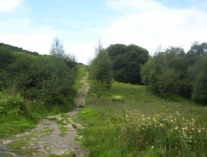
The Pennine Way is a bit of a roller coaster over the next few hundred metres, as it rises and falls round the shoulder of Blackstone Edge.
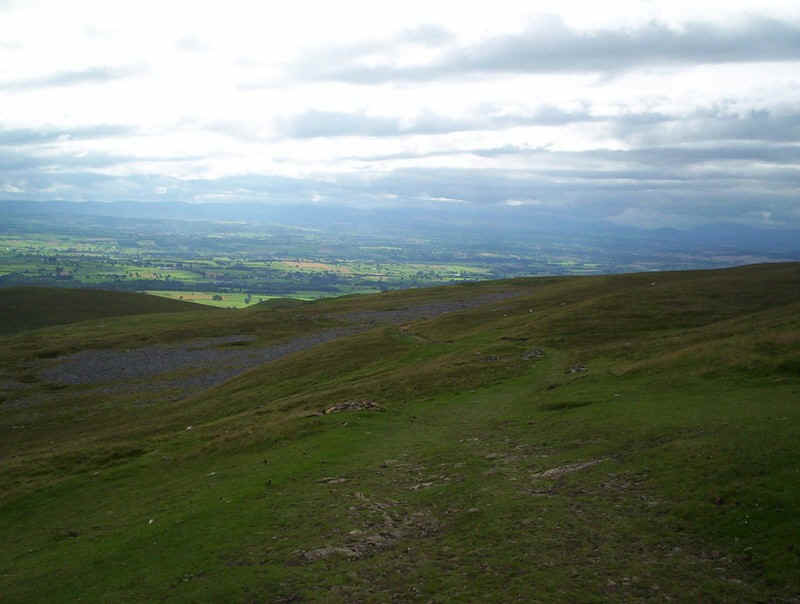
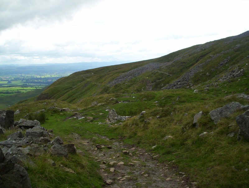
Soon the downward trend takes over and there's a good view of the Eden Valley, the Howgills and Eastern Lakeland.
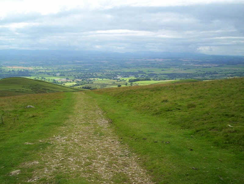
The path turns into a farm track and there is the first view of Dufton down in the valley.
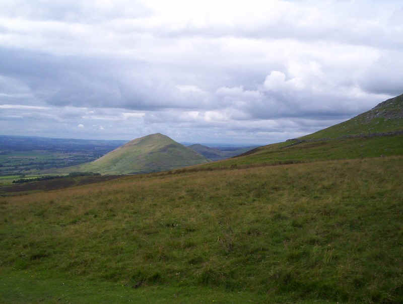
Over to the north is the conical hill of Dufton Pike,
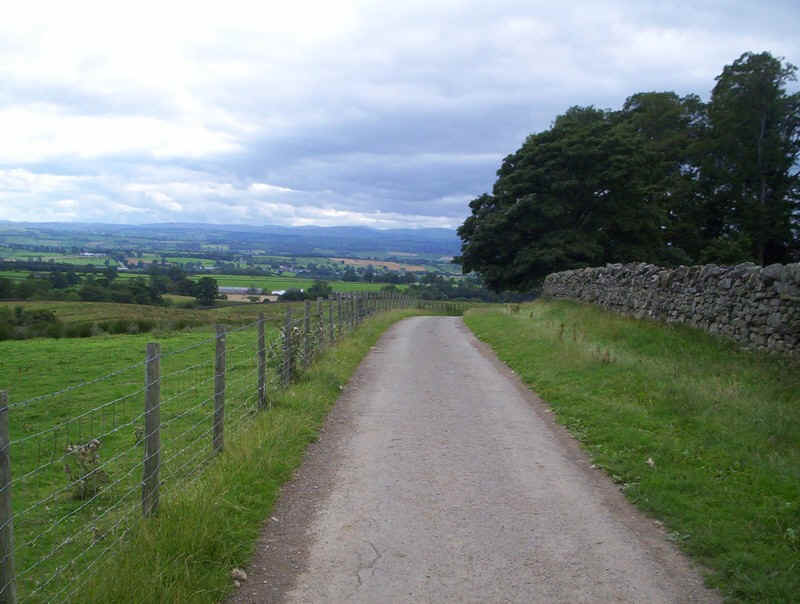
The farm track becomes tarmac just before....
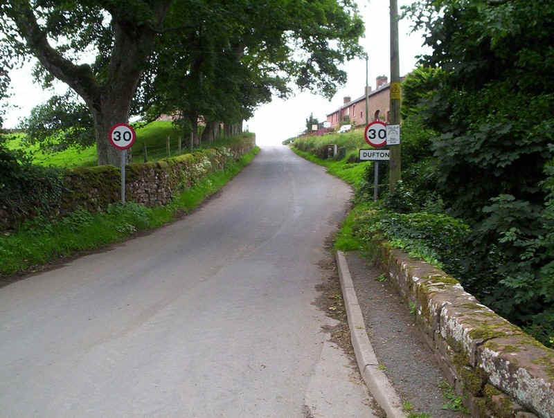
......Dufton is reached....
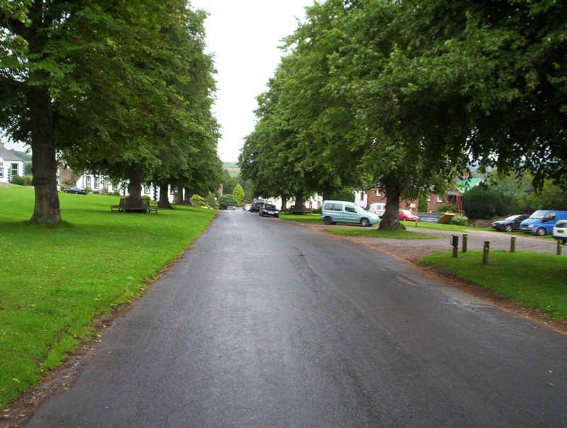
......with its interesting and attractive sprawling village centre and green....
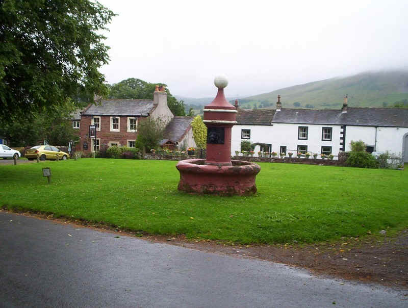
......and an old fountain.
It was an absolutely superb day's walk and certainly one of my favourites.