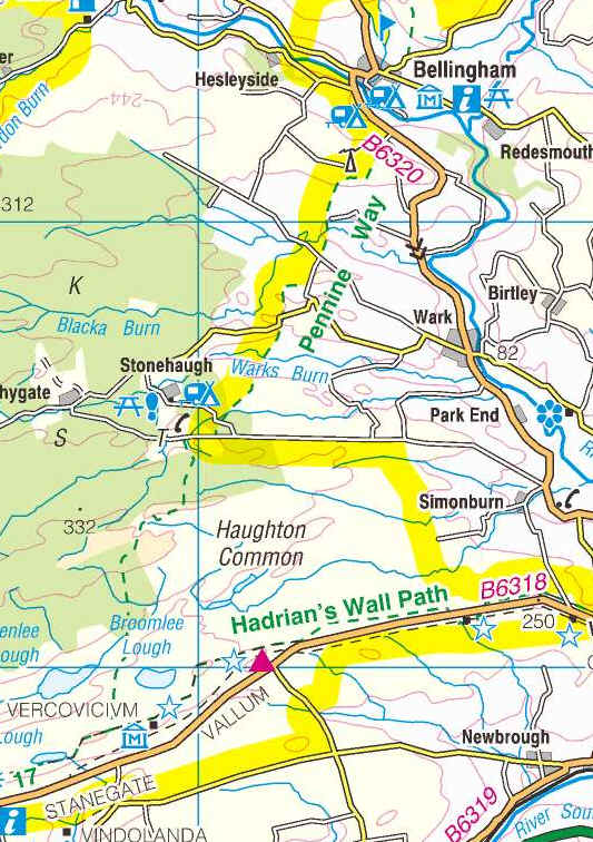
Rapishaw Gap to Bellingham
The way points on this map are taken from my GPS Spot tracker.
After completing walking the Pennine Way from Edale to the Rapishaw Gap in autumn 2010 it wasn't until March 2011 that I was able to continue northwards. The day started with an early morning train journey to Hexham and a £20 taxi ride up to Housesteads Fort; the Hadrian's Wall bus not starting until April.
The first mile of the day's walk took me back along the Wall as far as Rapishaw Gap.
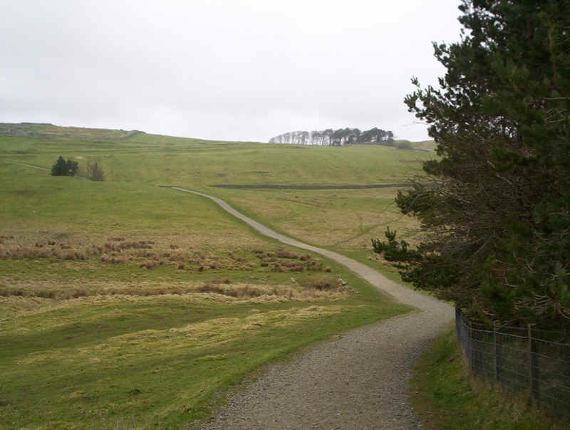
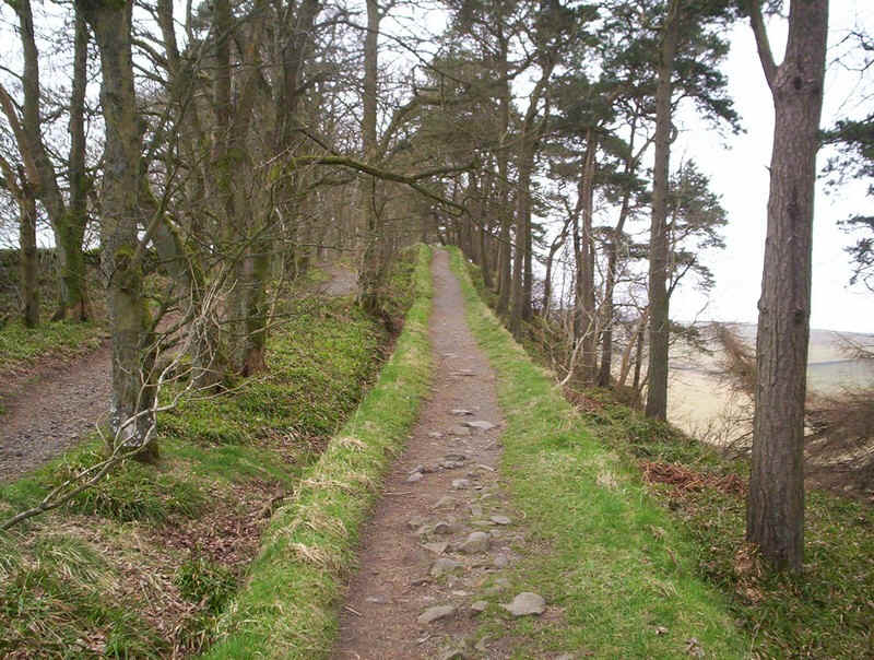
The path from the Visitors' Centre up to Housesteads Fort.
It's an easy climb up to the wall....
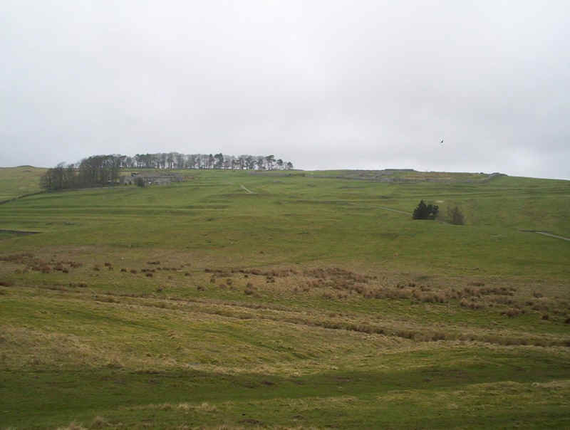
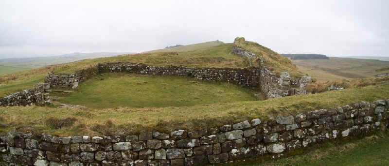
.......where the impressive remains of the fort are passed. There's no clear path here so I simply walked across the mown grass.
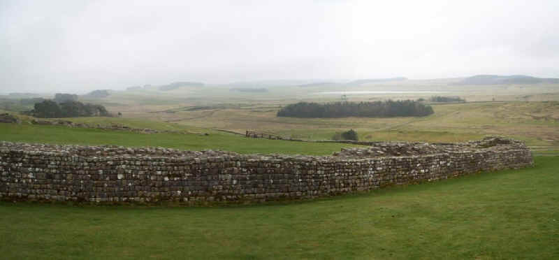
Once at the wall itself, there's a short section where you are allowed to use the path along the actual ramparts.
The mile-castle just west of Housesteads.
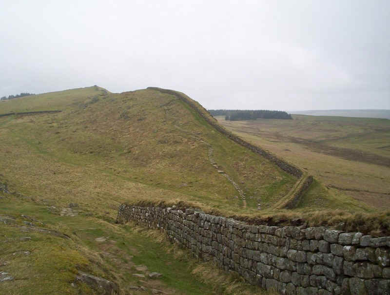
The path follows the wall up and...
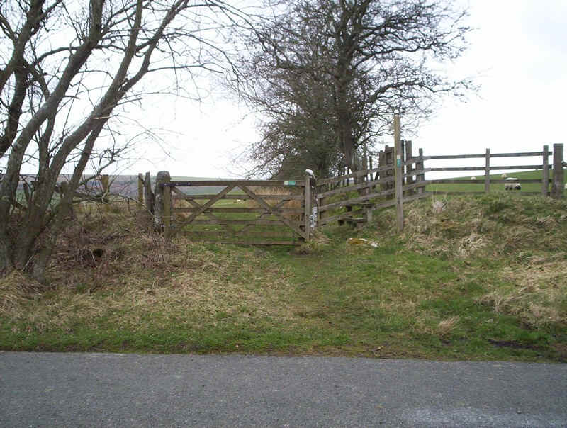
......over the hill to reach Rapishaw Gap...
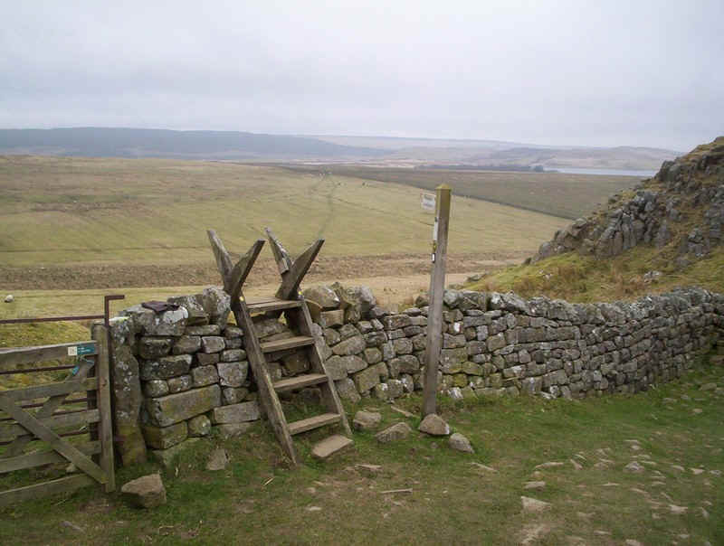
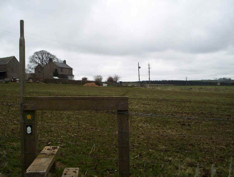
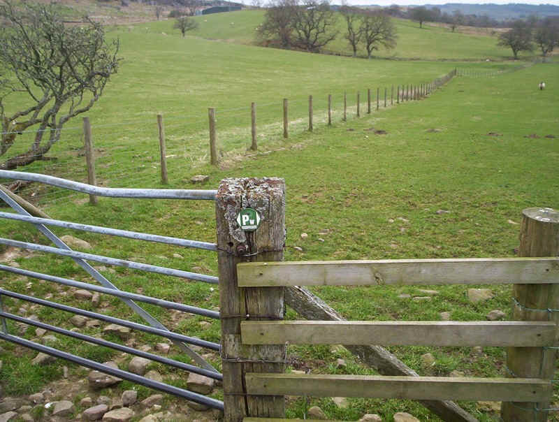
.....where the Pennine Way proper is rejoined.
The path is clear; take the right path diagonally across the moor.
This is the "barbarian's" view of the defenses at Rapishaw Gap.
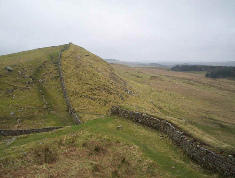
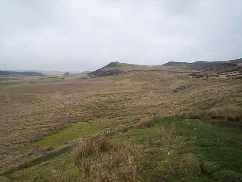
Another view showing the Whin Sill...
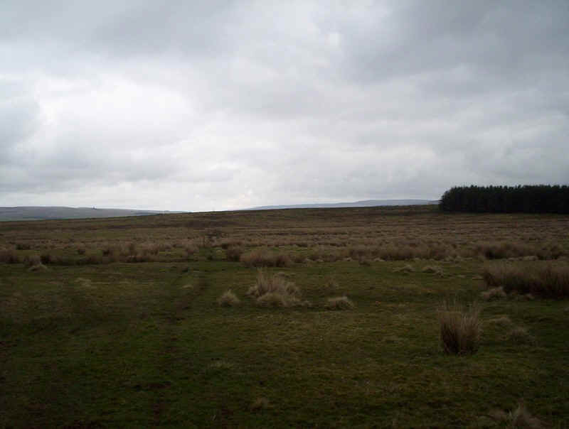
......whilst in the opposite direction the way forward points towards the forest in the distance.
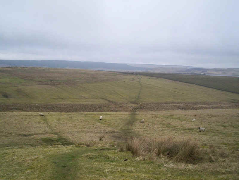
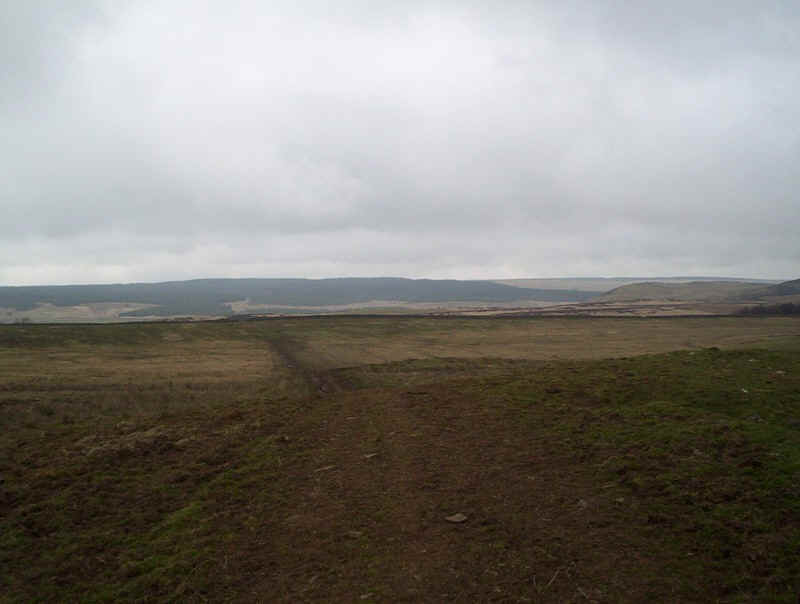
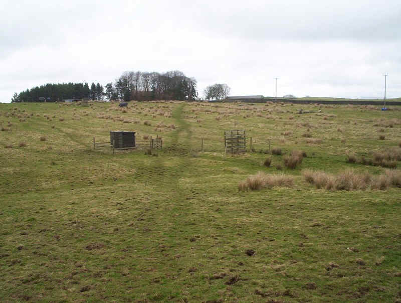
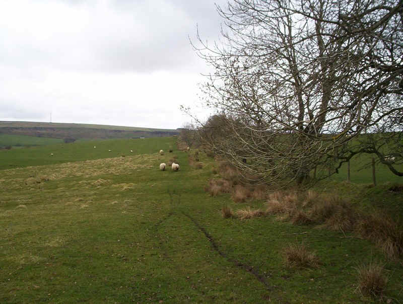
The PW meanders across the moor....
...gradually dropping..
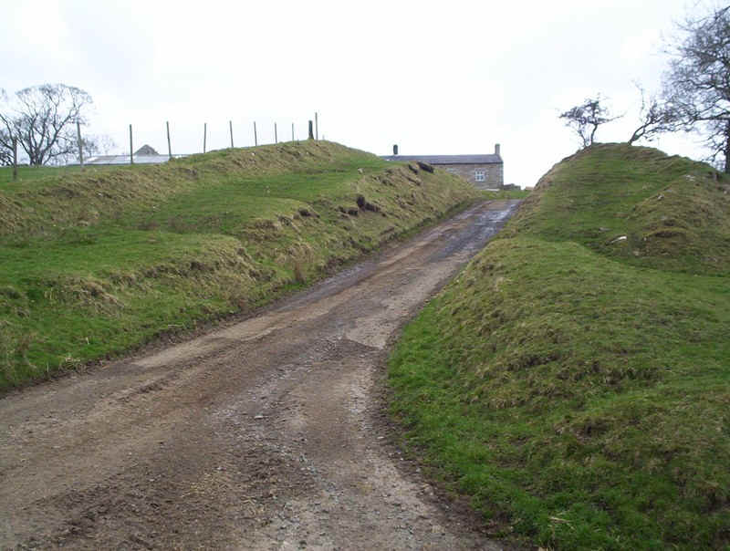
... to reach a lane...
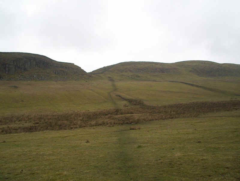
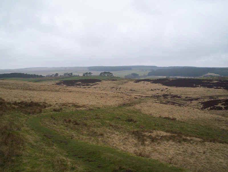
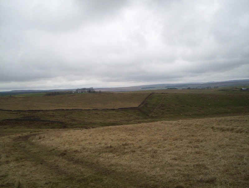
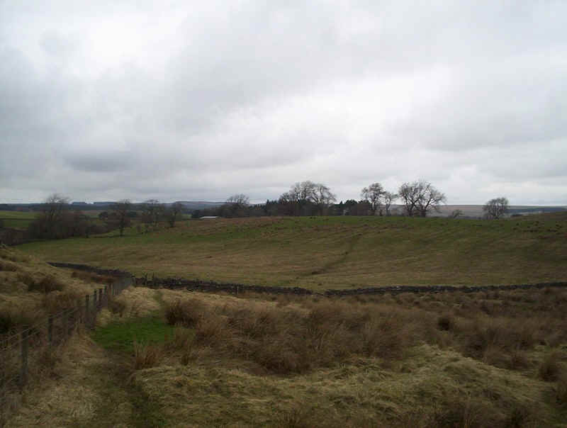
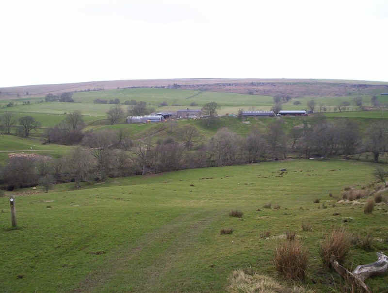
.....with Nanny's Hill and the crags at Queen's and King's Crags visible.
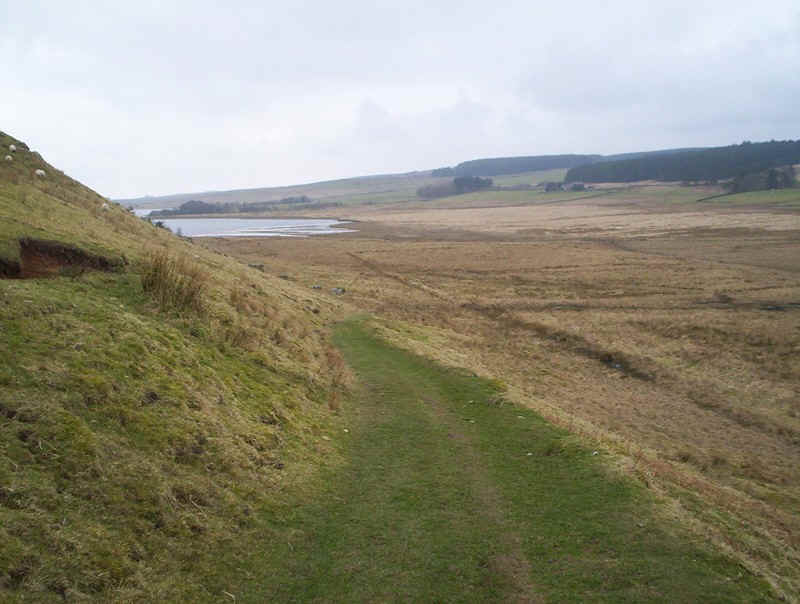
The PW bends back westwards to show is Greenlee Lough and, over to the right, the marshy ground, which it crosses.
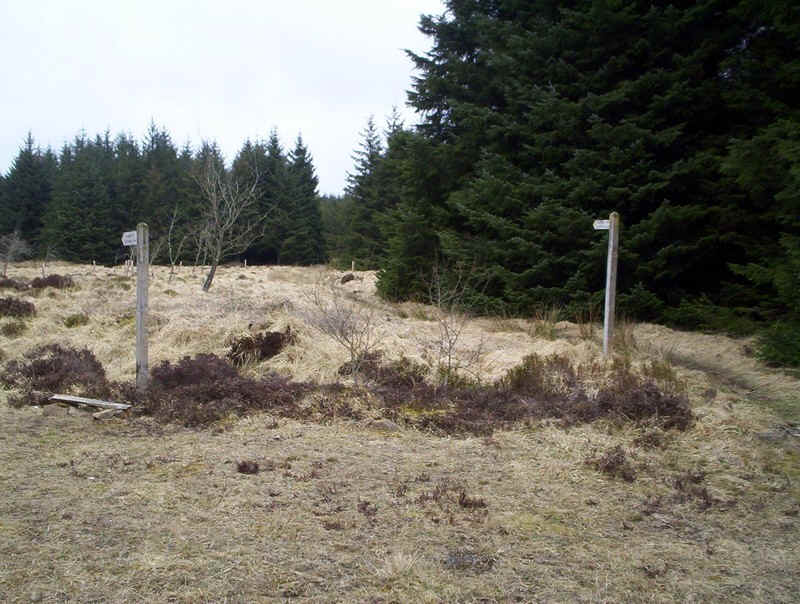
Frequent markers are a feature of this day's walk...
....at every stile...
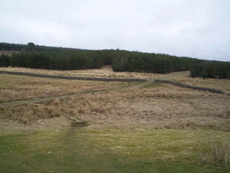
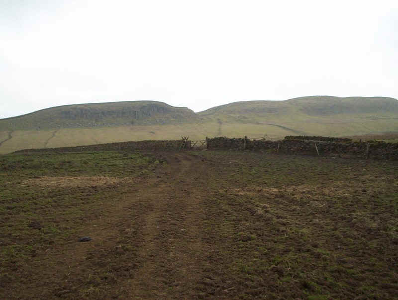
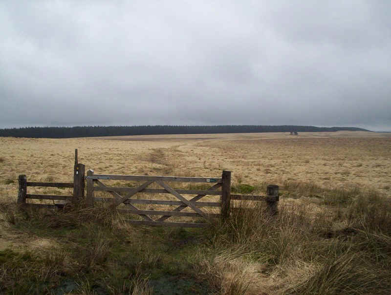
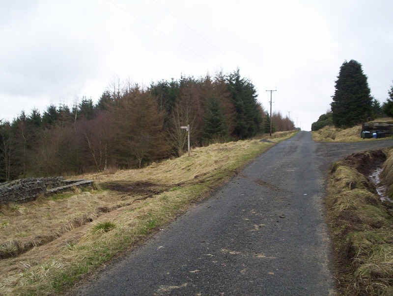
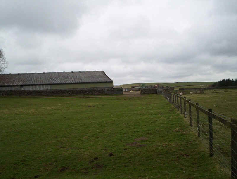
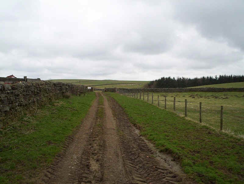
.....and lead to this vehicle track from Stonefolds...
......which is followed into the forest.
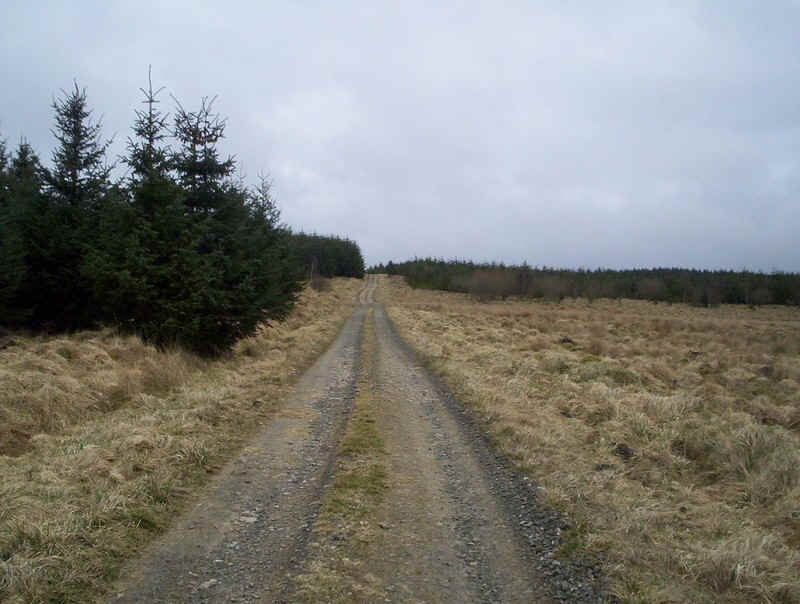
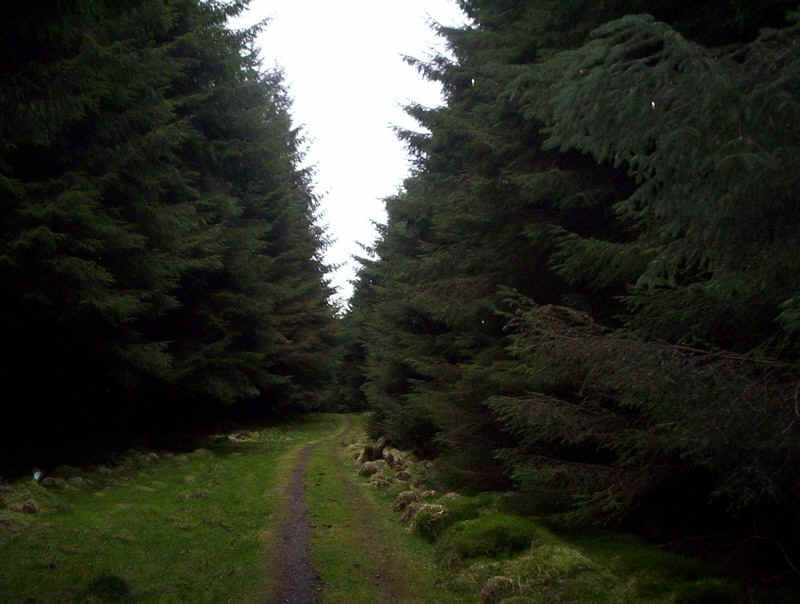
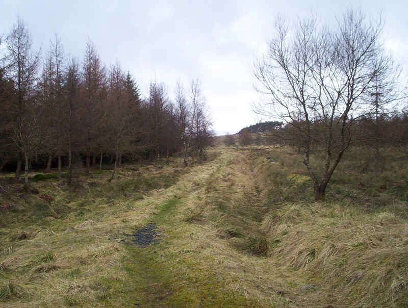
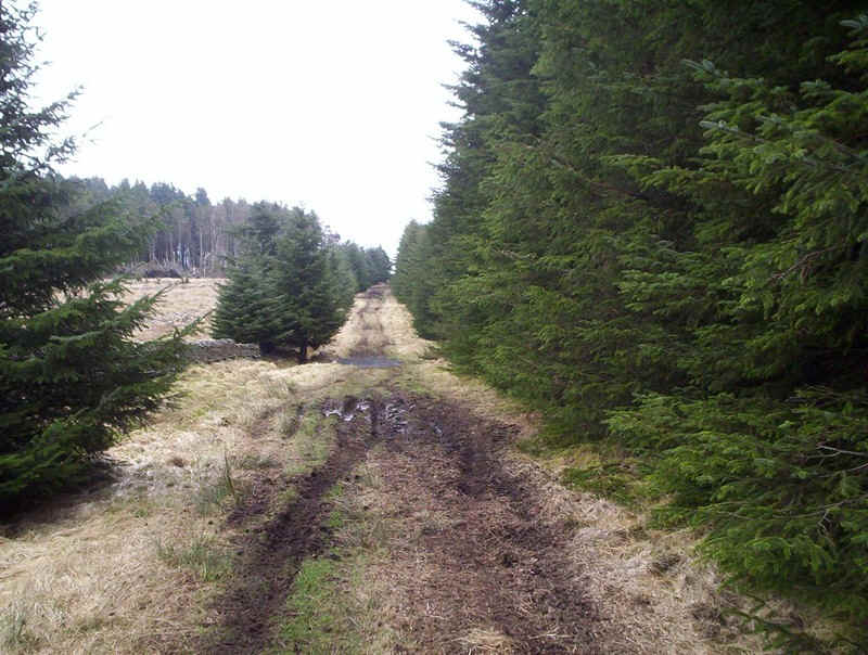
It's quite an attractive section....
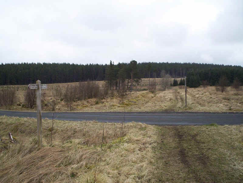
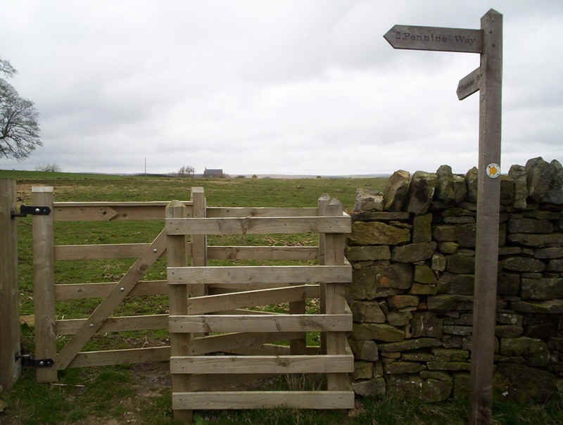
......but keep an eye for this junction....

.....where the PW branches off between the trees.
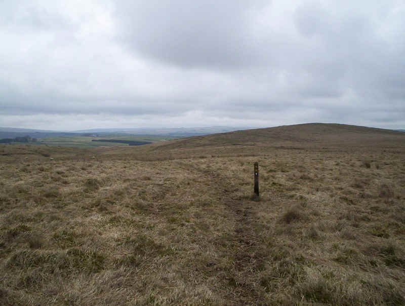
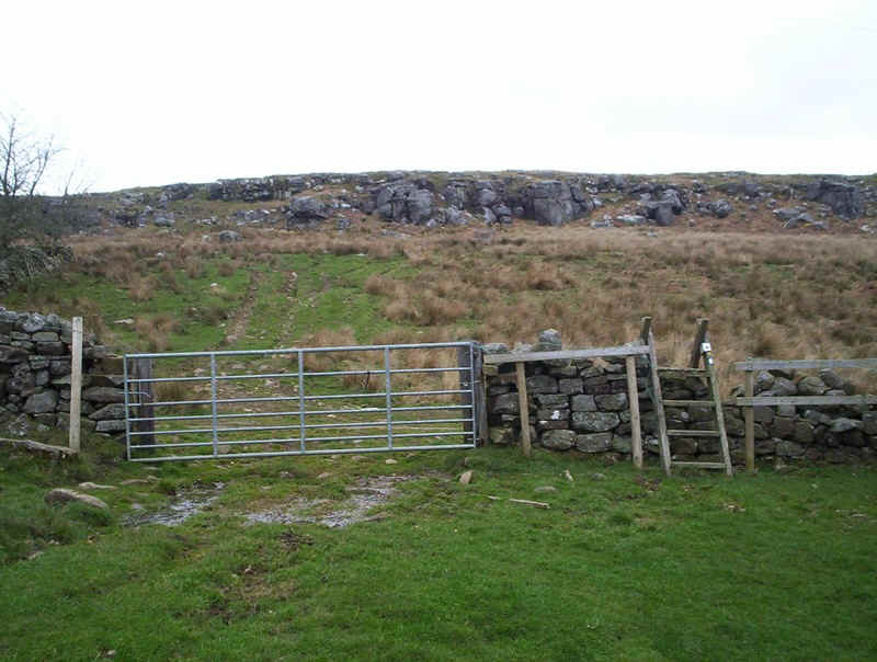
Once out of the forest Haughton Common has to be crossed,...
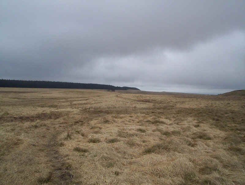
......a bleak spot if ever there was one. Of course it started to rain here.....
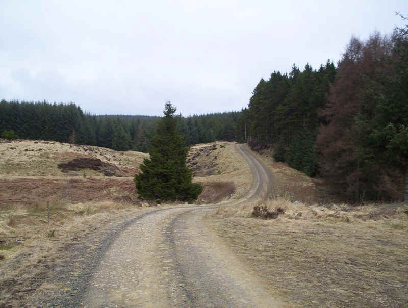
.....but it was soon back into the woodland...
.....and along a forest driveway...
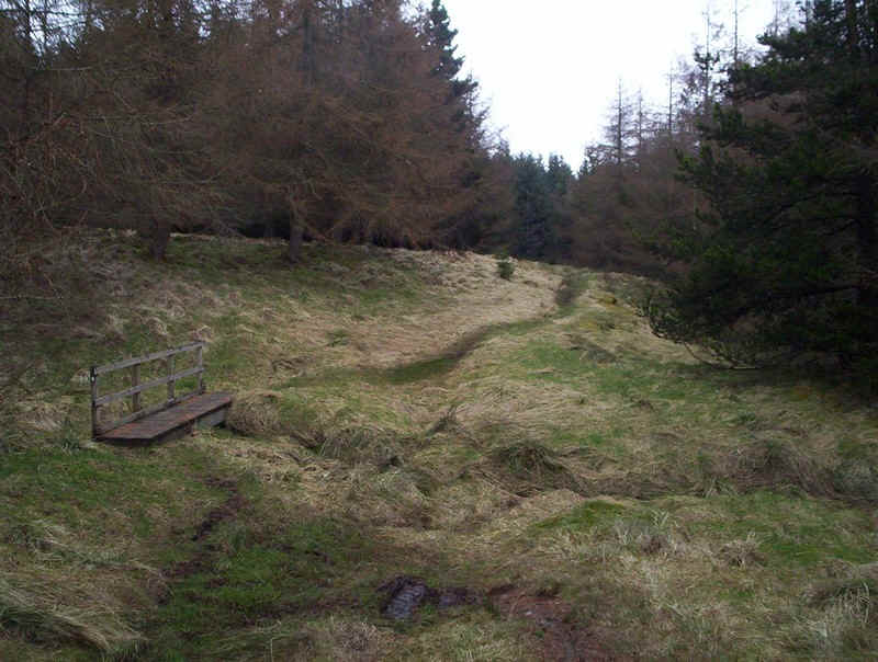
....crossing some bridges...
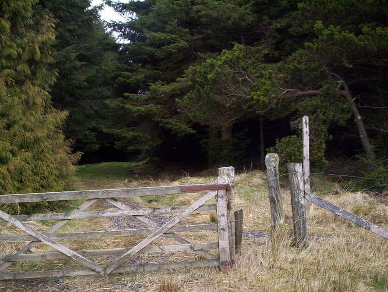
.....before, once again, leaving the trees
and following a wall down towards...
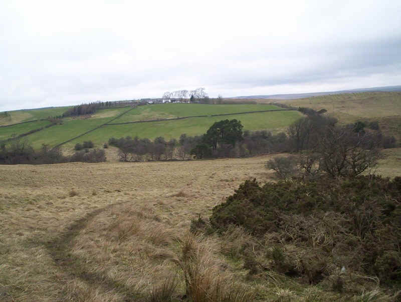
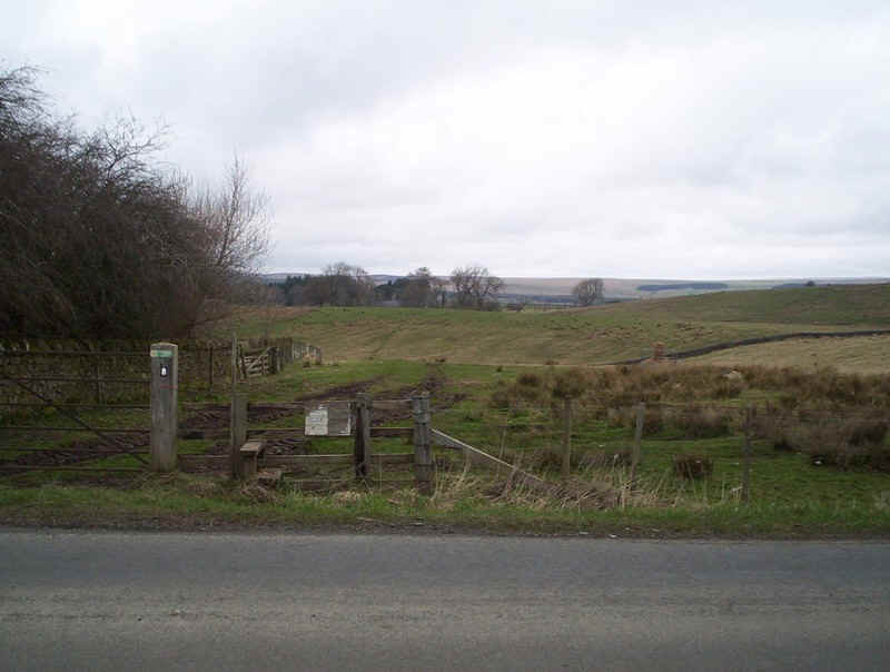
....a lane near Willowbog Farm.
There's a short section on the tarmac before...

....branching off along the edge of the trees...
...to cross another road...
....and onwards...
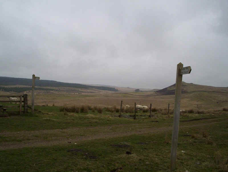
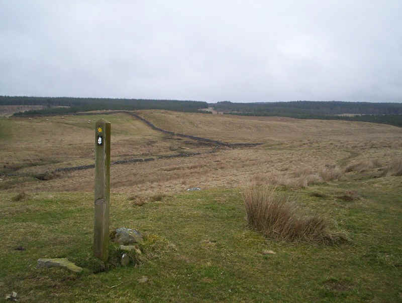
.......before reaching the open moorland again. More marker post guide the walker on..
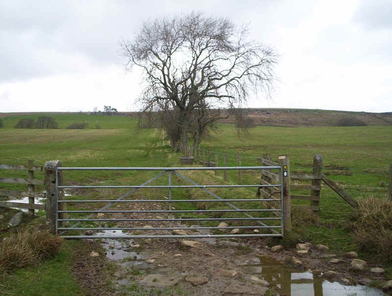
...leading by the Fawlee Silk stream...
....and then across it to follow the wall beyond
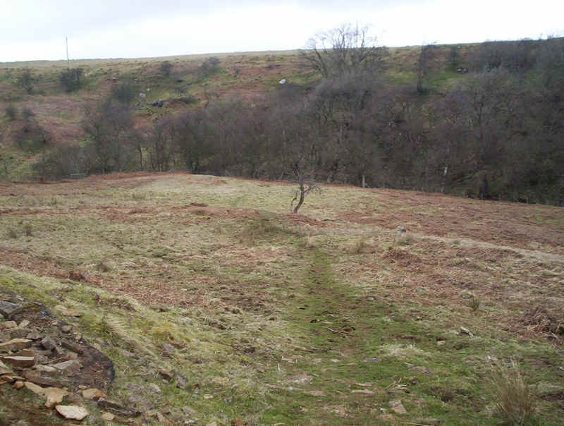
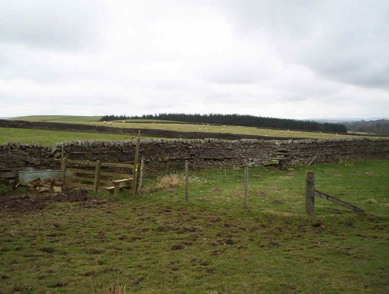
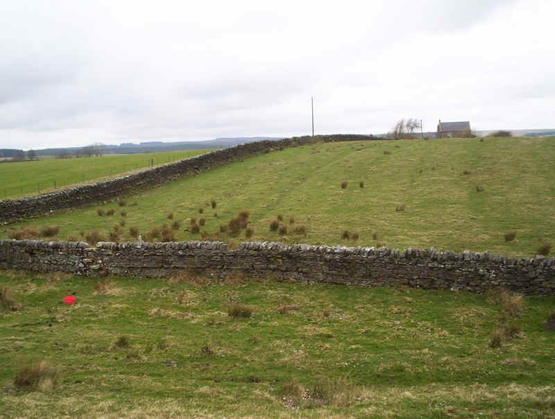
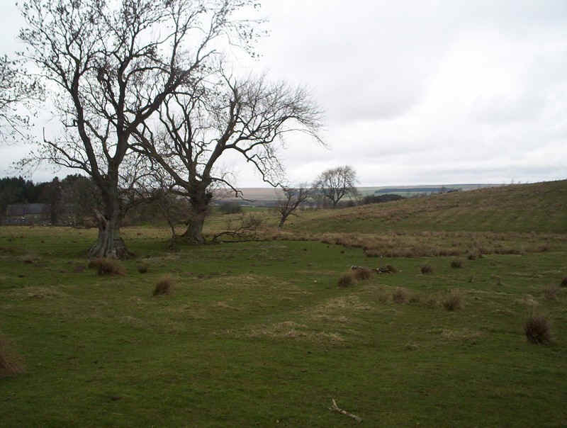
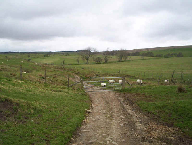
The PW meanders across meadows...
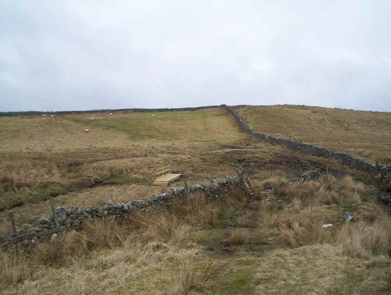
......past boggy gates...
.....before dropping...
.....down ......
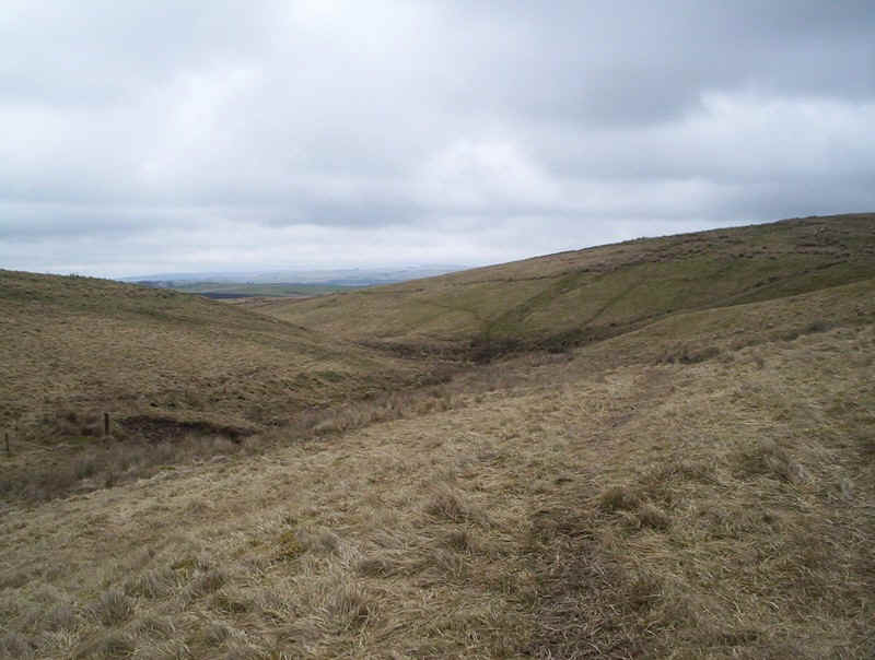
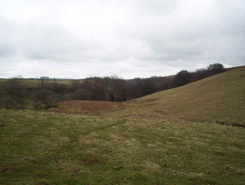
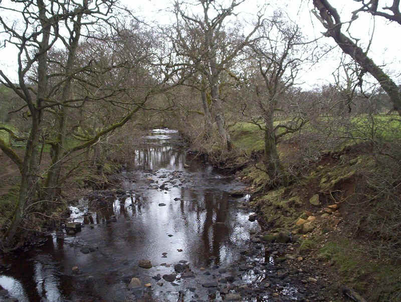
......to cross the Warks Burn with its interesting rock formation.

The path climbs away from the burn...
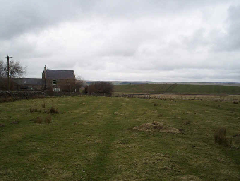
.....and up to Honeystead Farm....
.....where markers make it clear where to go.
There's a short section where the way marks aren't quite so clear...
.....near Ash farm and you have to look carefully to find these two stiles in the corner of a field.
The path follows a fence before turning down a ....
.....farm track
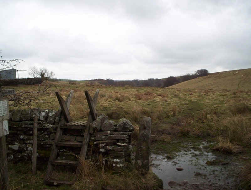
... through a kissing gate....
.....to reach the road near.....
Leadgate.
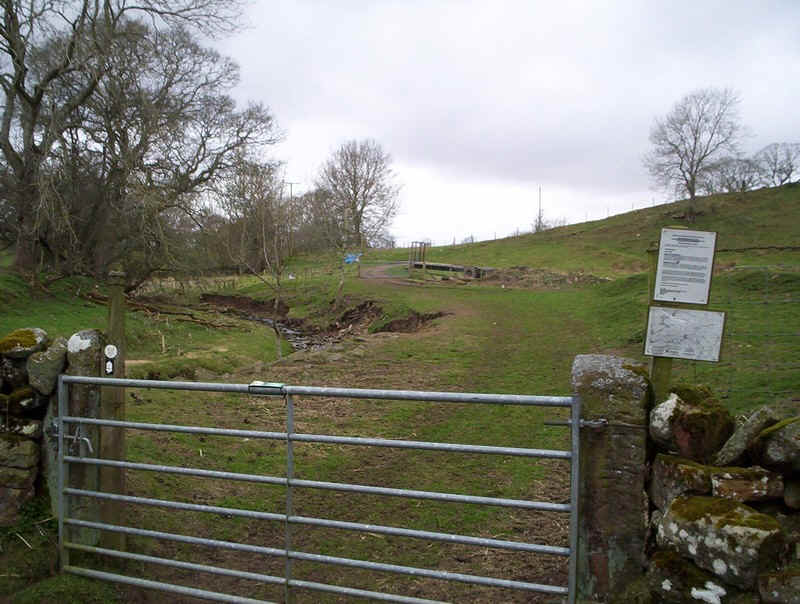
Across the road the PW ...
crosses more rough pasture...
....and another poorly way marked section..,,,
......to reach this kissing gate, with its white-capped fence posts at Low Stead.
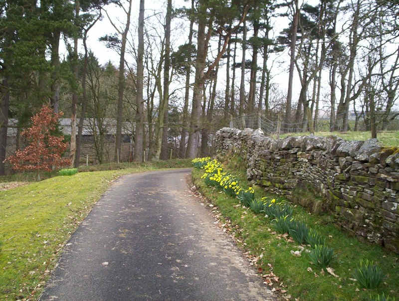
Taking to the lane the signs of early spring can be seen.
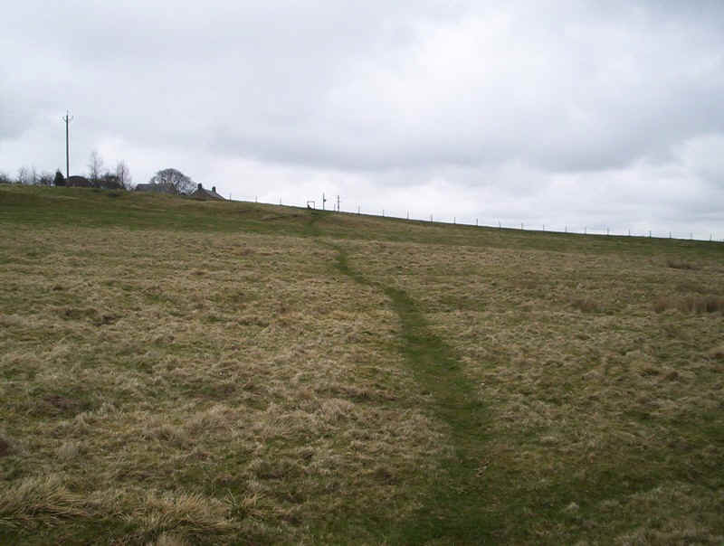
There's a mile or so of road walking along quiet lanes...
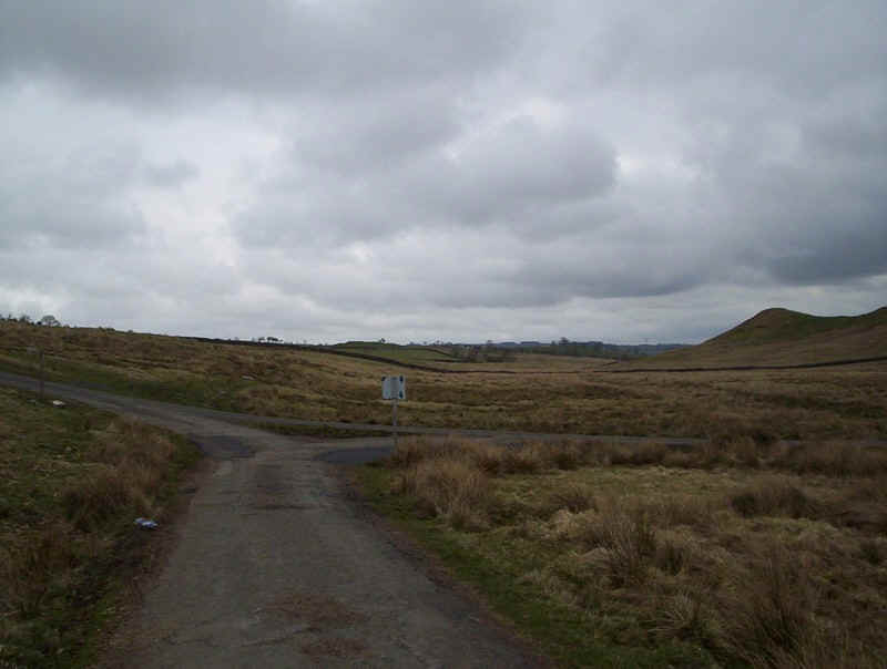
.....to a junction where the left fork is taken...
.....down to a T-junction.
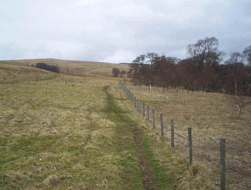
Directly opposite the PW reverts back to being a path.....
....across sheep pastures...
....to drop down to this...
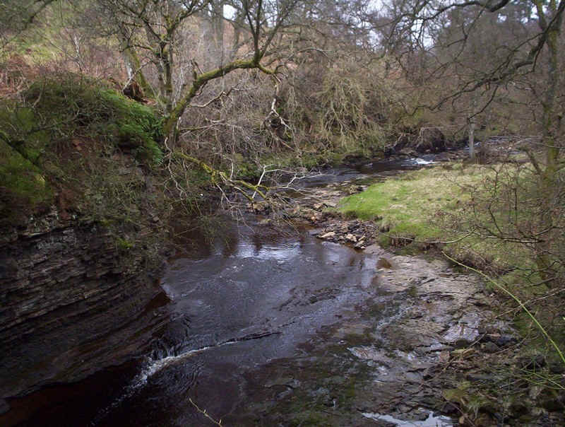
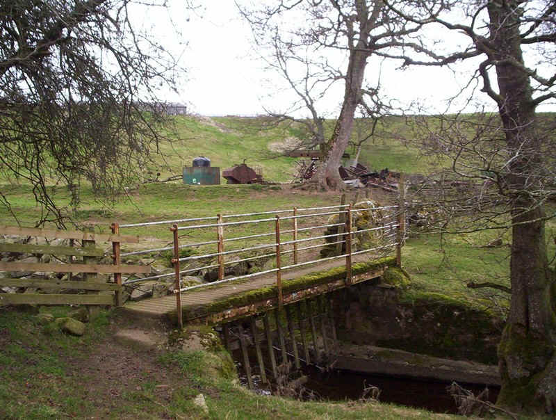
......footbridge across .......
.......the Houxly Burn.
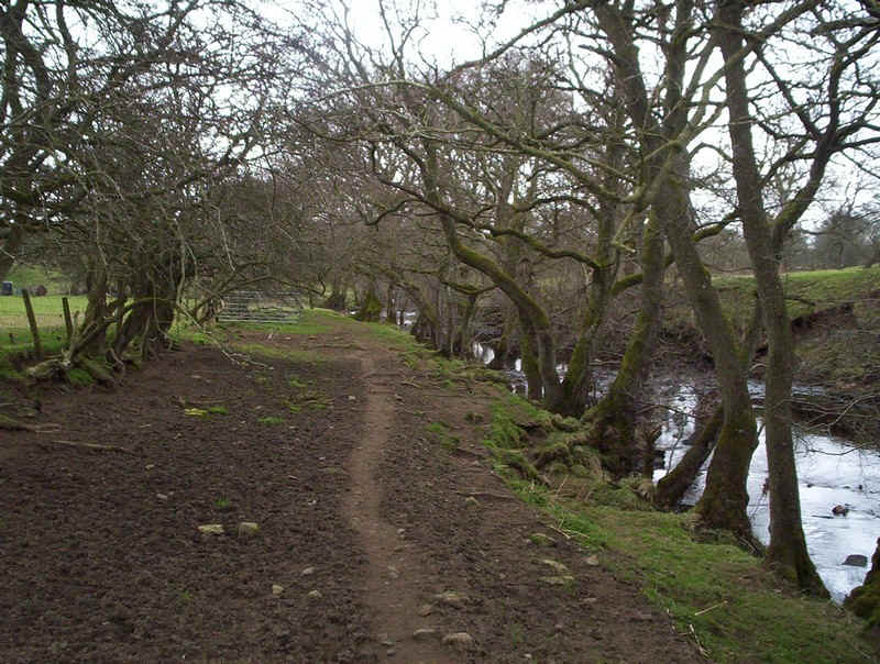
Turning along the bank of the burn...
.....and across the bridge...
.......there's an immediate left turn up...
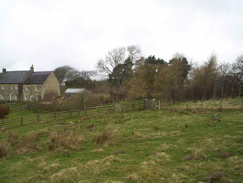
.....the lane to Shitlington Hall farm where two sheep dogs were sitting waiting to greet me......
Beyond the farm the PW follows a farm track...
.....before following a fence...
.....and wall uphill...
......passing what looks to be an original PW marker.
Just below Shitlington Crags the PW crosses this stile and bends round slightly to find a way...
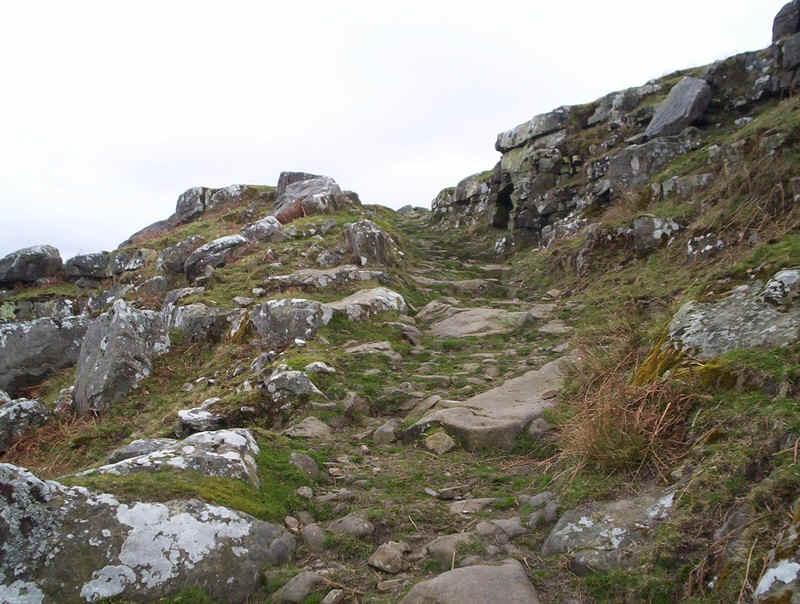
......through the crags.
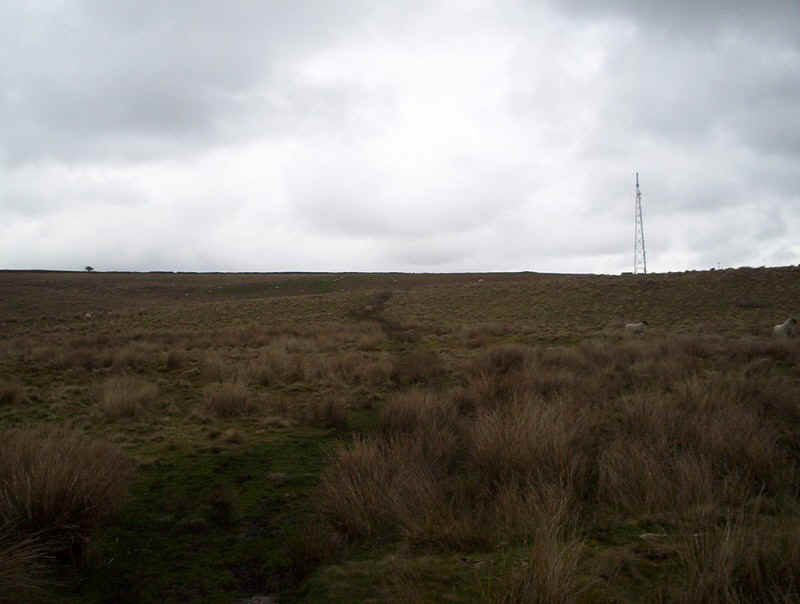
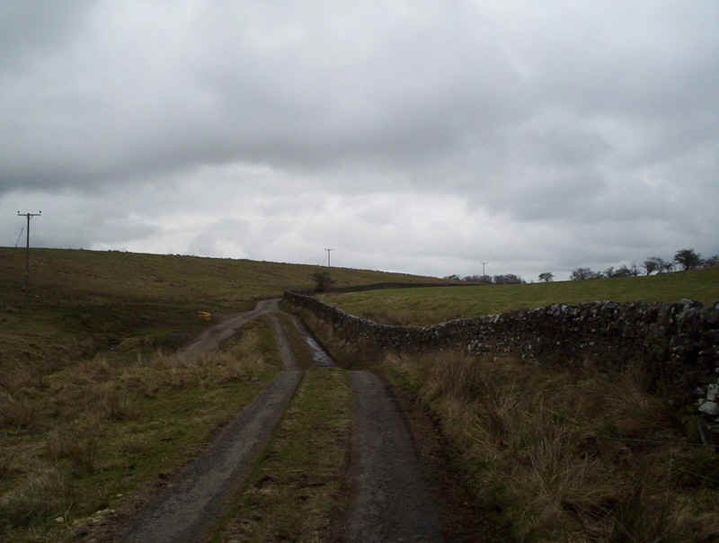
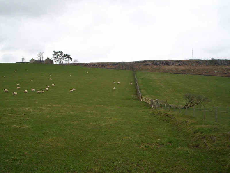
Now it's across the moorland towards the vehicle access lane...
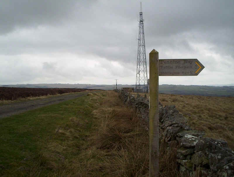
.....to this communication mast.
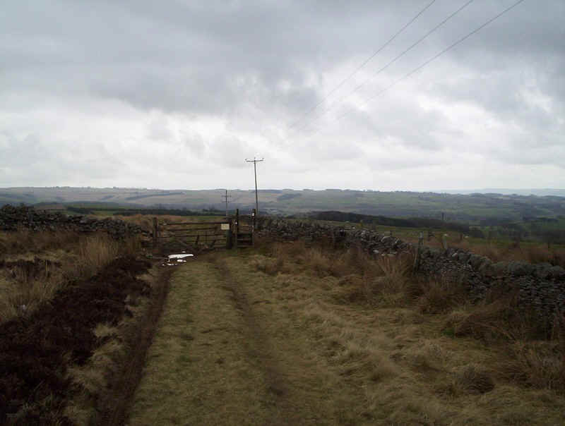
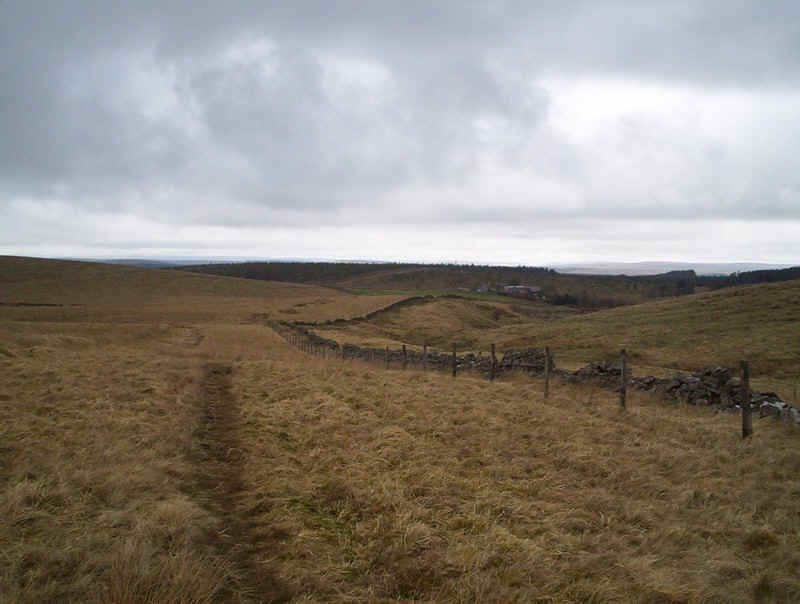
Once the tarmac runs out the way is by the wall....
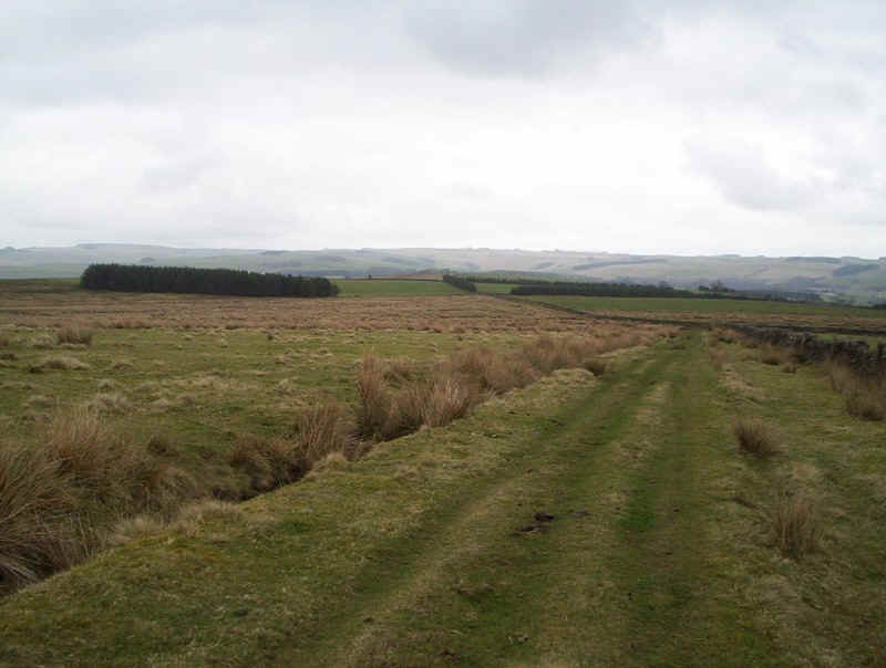
.....across the moor...
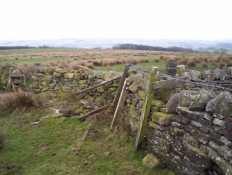
......to a very dilapidated marker post......
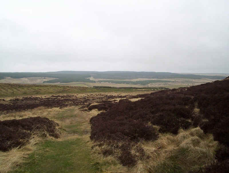
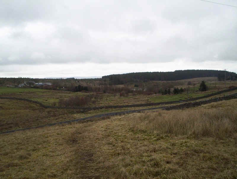
......where the path heads across the moor towards the edge of the woods.....
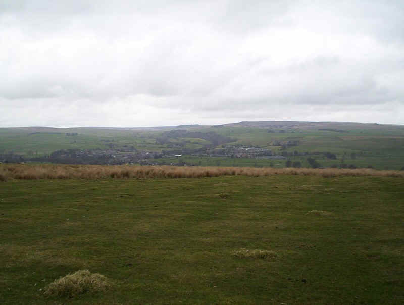
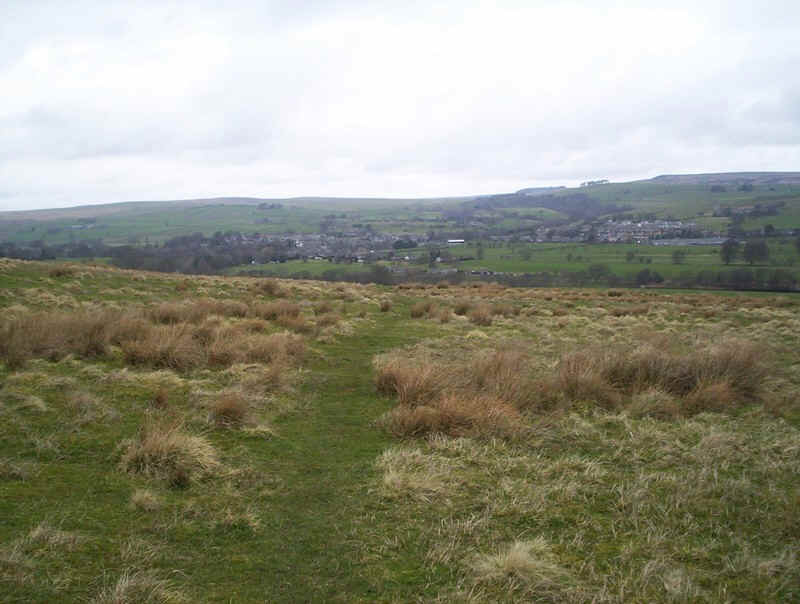
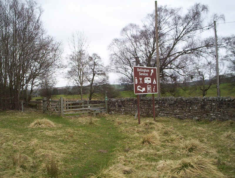
.......and the first view of Bellingham (pronounced Belling-jam).
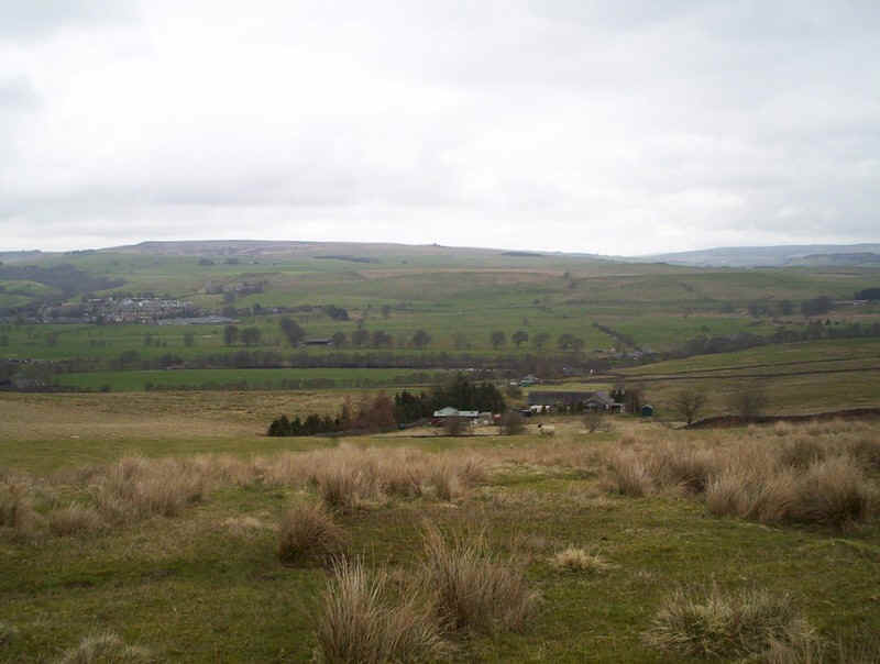
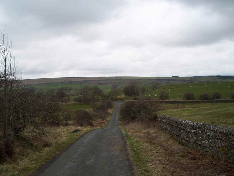
The way now begins its descent into the valley of the River North Tyne towards...
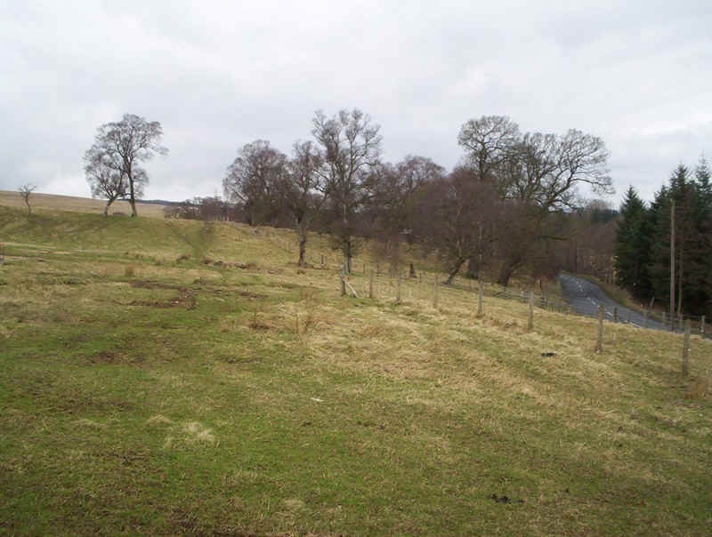
....a lane....
......which is followed for a short distance....
.....before heading across the hillside...
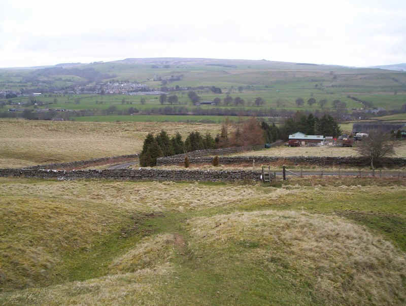
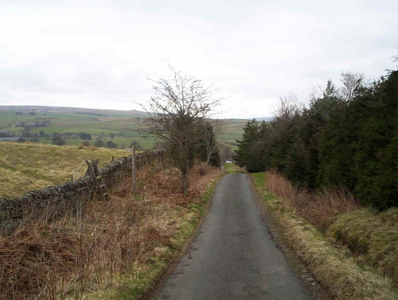
.....towards the main Hexham to Bellingham Road.
The PW now parallels the road...
....before finally joining it a mile or so from the town.
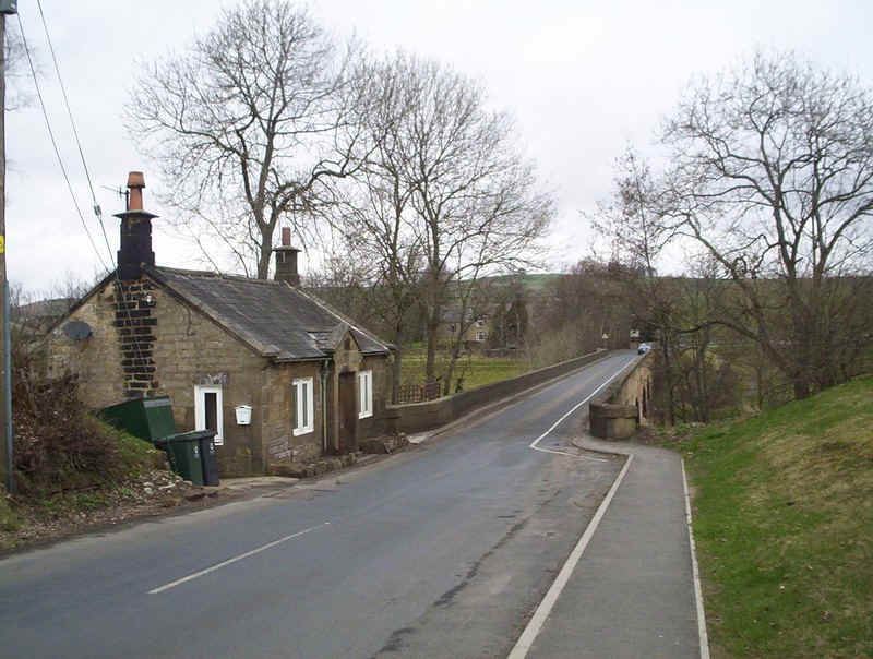
Fortunately, there's a sidewalk all the way into the town. Just before the bridge is what, I think, was a toll-house on the old turnpike road.
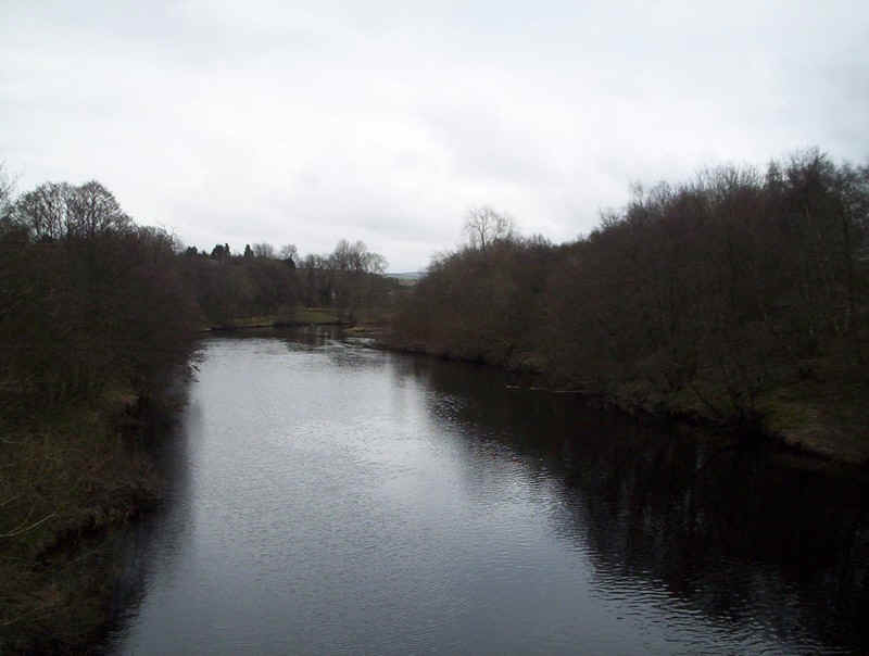
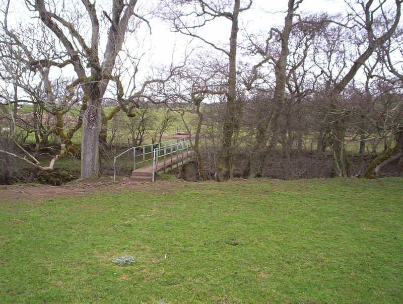
After crossing the North Tyne.....
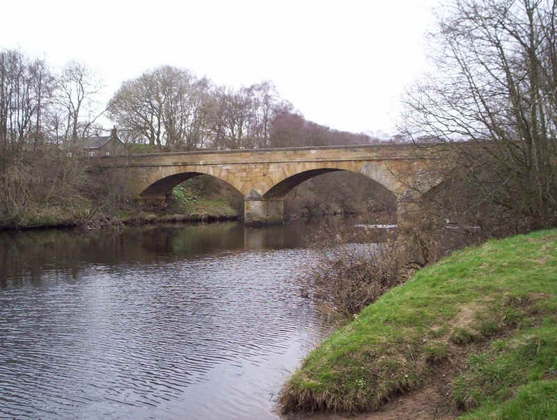
......on this bridge the PW.....
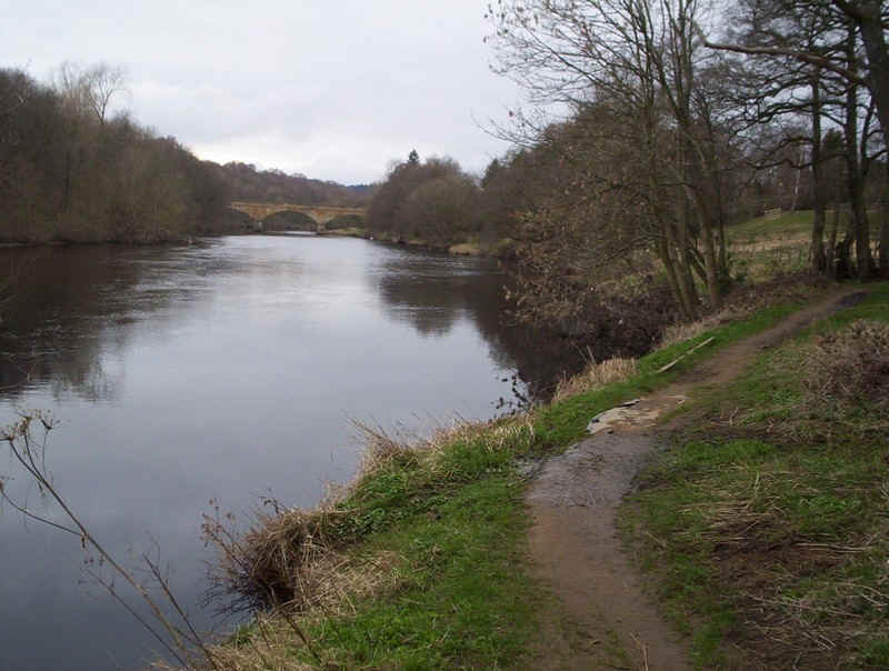
.......follows the banks of the river for a short distance before entering Bellingham.
There is a roughly two-hourly Monday to Saturday bus service back to Hexham with the last being at 18.00.