
Skipton to Malham
The map shows the route with way points taken from my Spot GPS transmitter. Click on the plus sign to see a larger map.
The Dales High Way leaves Skipton up Chapel Hill near the castle....

....and then up a side road...
.....to leave the town suddenly at a wall and into a meadow. I can't remember a path where the transition from town to countryside is so dramatic.

A glance back down to Skipton.

The path heads across meadows...

.....to cross the Skipton bypass..

.....and then the golf course.

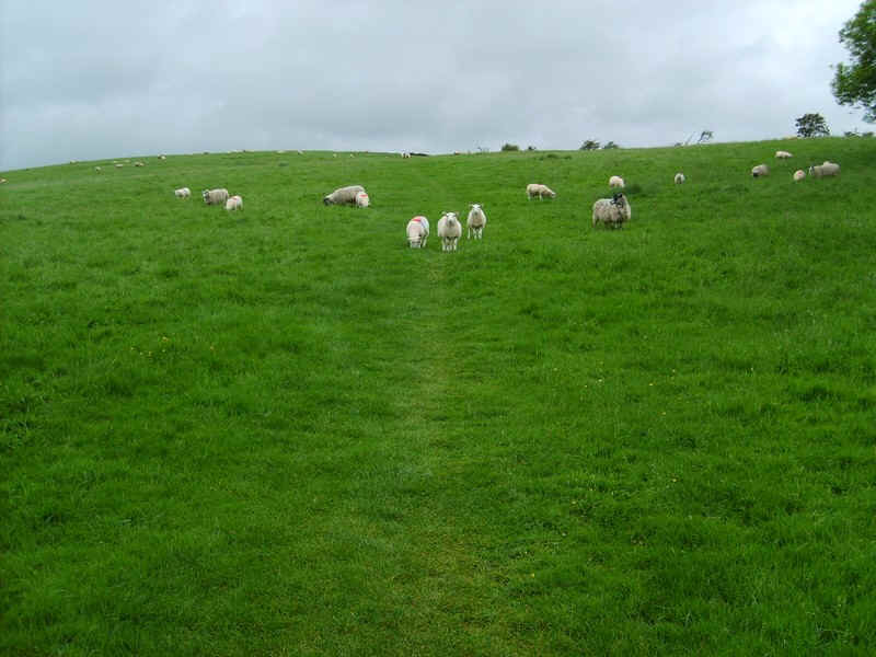
On a wet June morning wet feet came early walking through knee height grass...

.....to reach a lane at Tarn Moor.

Once over the Grassington to Skipton road..

...the path climbs gently...

....to a farm access road at Tarn House.

The way now goes up another farm track with the first feature on this section, Sharp Haw, just visible in the distance.

The waymark sign shows where the bridle way leaves the vehicle track...

....and Sharp Haw can be seen across the moor.

There's a signpost in the middle of the moor...

.....and an easy path to the summit....

.....cairn where it was difficult to stand because of the wind!

The path drops down ..

......towards Rough Haw...

....and then heads past a wood,,,

....towards Flasby.

There's an extremely muddy section caused by cattle and then another lane..

....down into the hamlet of Flasby.

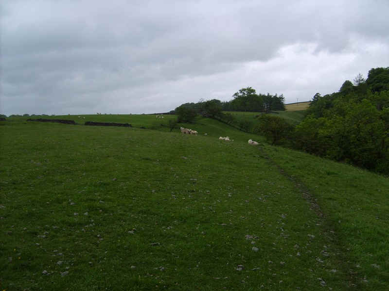
The path now follows the river bank for about two miles to Hetton so the next few photographs just show what the route is like with no further comments..


Eventually the village of Hetton comes into sight...

.....and the road through the village takes you past a convenient bench (lunchtime?)..

....and past the pub..

.....to a junction of a bridle way.

This section marches across the moor in .....

.....an almost straight line...

.....before dropping downhill at a junction..

....with Winterburn reservoir and Pendle Hill to the left.

The track loops down to the beck....

.....and crosses a bridge...

.....before climbing back onto the moor at Hetton Common.

In places there is a vague track whilst elsewhere it's very clear...

.....and easy to follow.

The view back towards Winterburn Reservoir and Sharp Haw.

The track drops down to a beck before...

.....climbing to Hetton Common Head....

....and the trig point at Weels Top - this is curiously located up against a wall.

The Dales High Way now begins its descent into Malham and the geology changes dramatically from grit stone to..

.....limestone. Here is the entrance to Gordale Scar.

Over to the west is Malham village in the trees and beyond Kirkby Fell.

The lane into Malham is joined and drops...

.....steeply down to Gordale Bridge....

.....where a brief side walk takes you into the collapsed cavern of Gordale Scar.

Beyond Gordale Bridge the footpath to Malham starts temptingly easy but..

.....the section by Janet's Foss waterfall is extremely slippery on rounded limestone rocks.

A pleasant walk by the stream through woods...

....leads to a paved pavement across meadows to lead..

.....into Malham village..

.....and a cream tea at the Buck Inn followed by a bus journey back to Skipton on the "Little Red Bus" - actually a little white one!